Intro
I had a morning free, I wanted a nice workout, and the mountain weather looked great. Mt. Audubon sounded like the perfect objective.
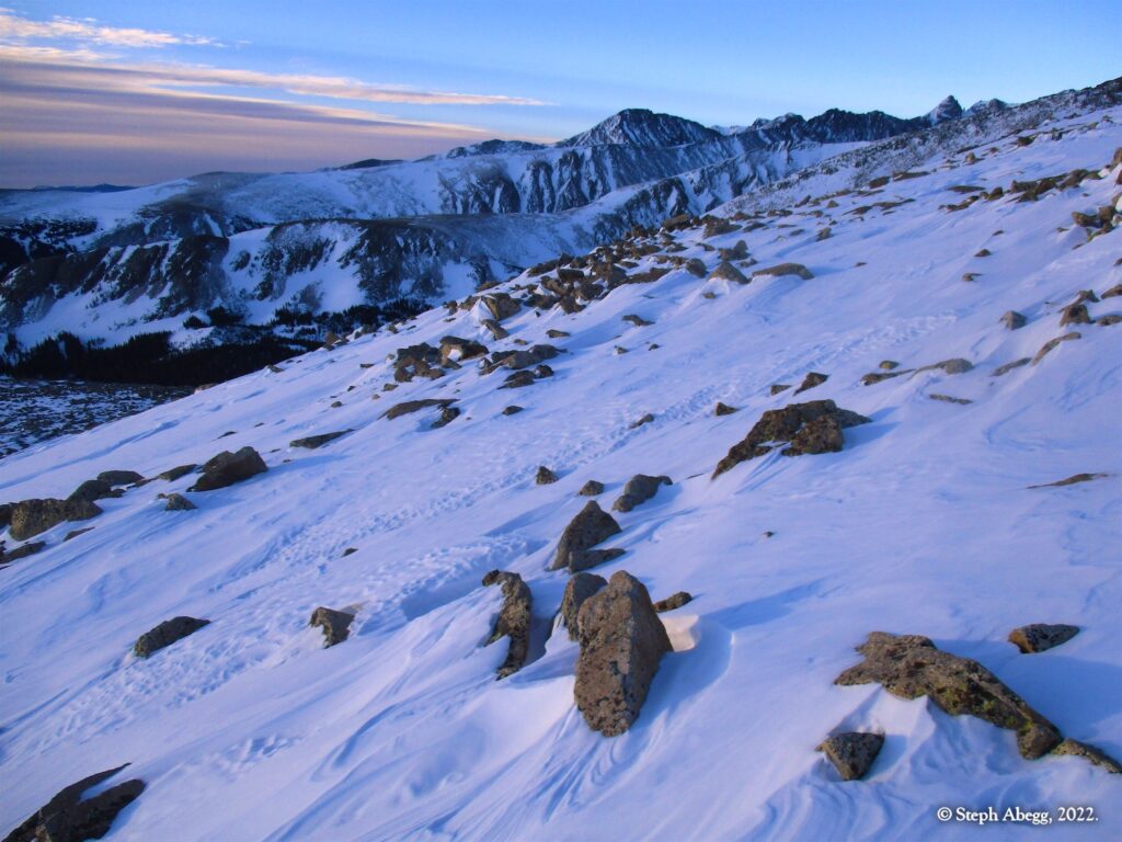
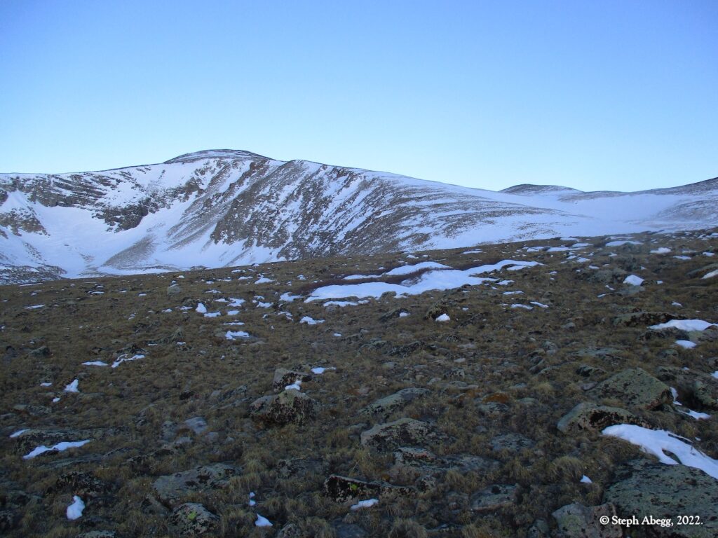
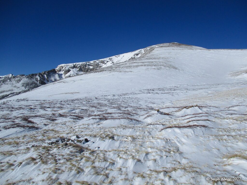
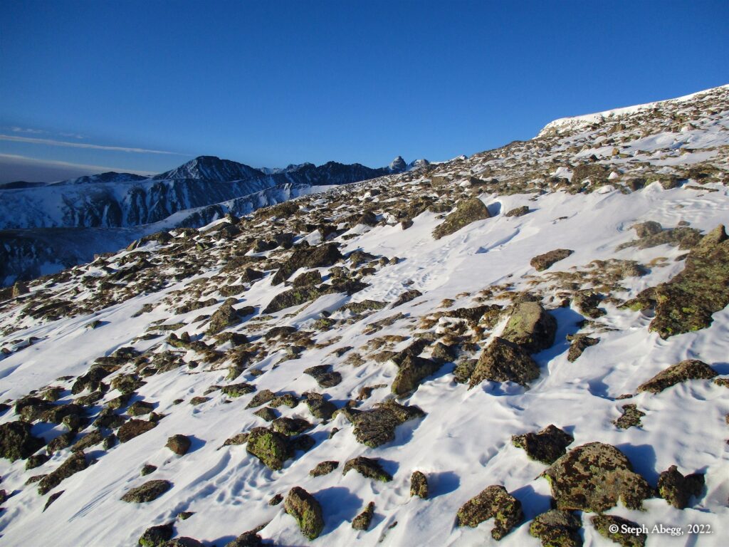
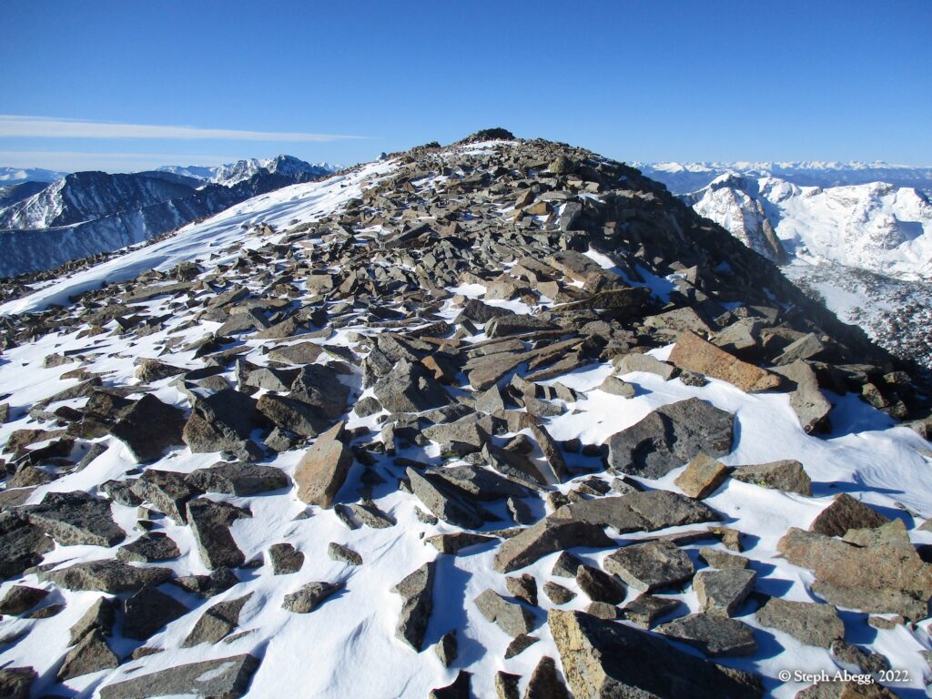
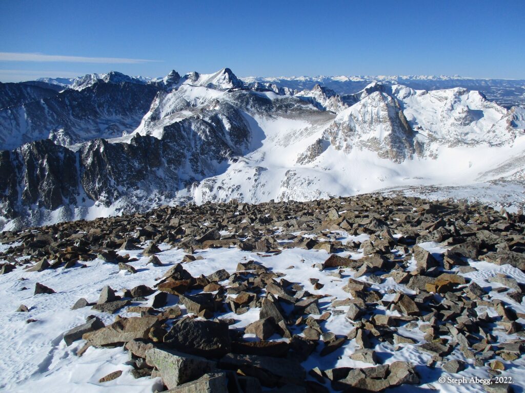
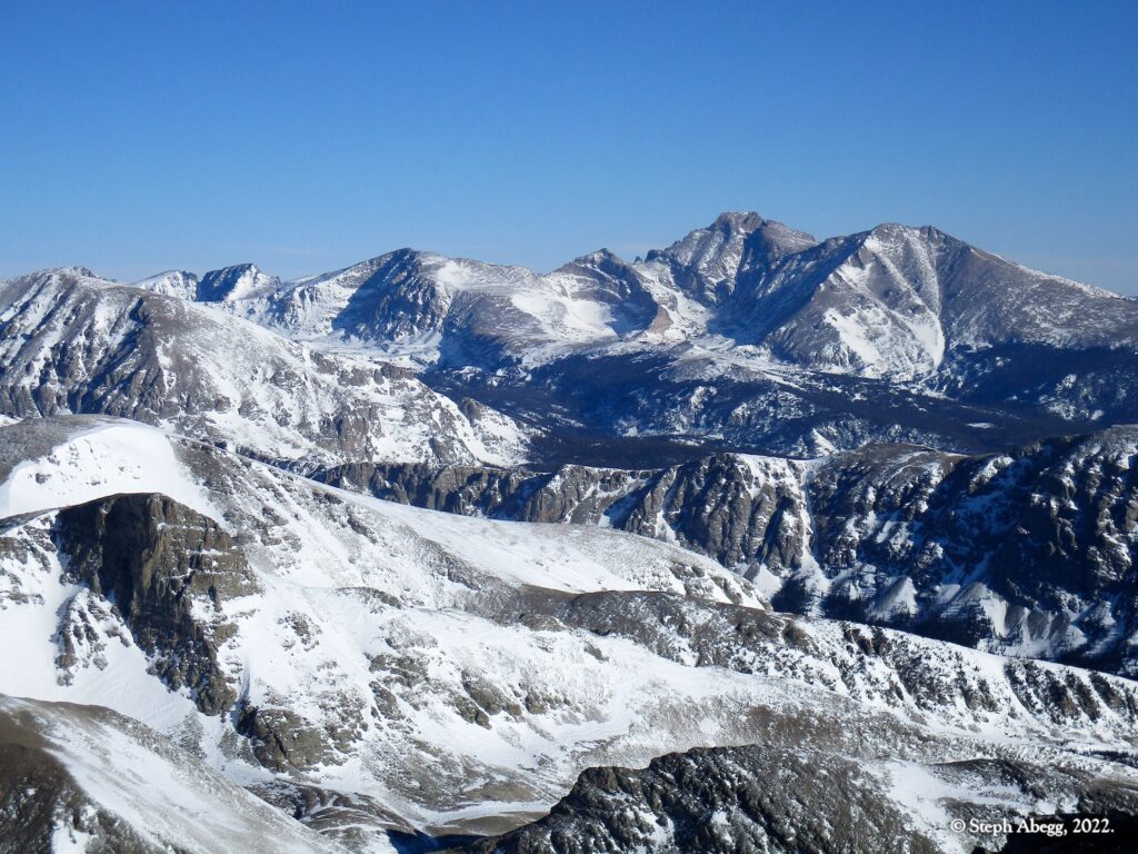
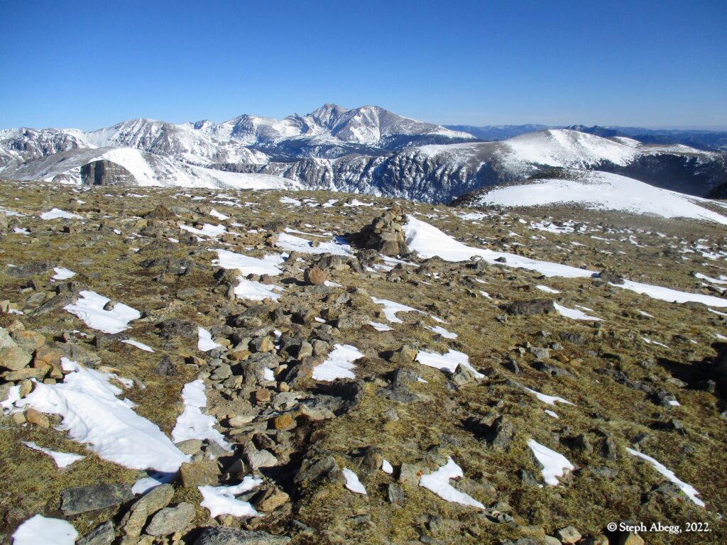
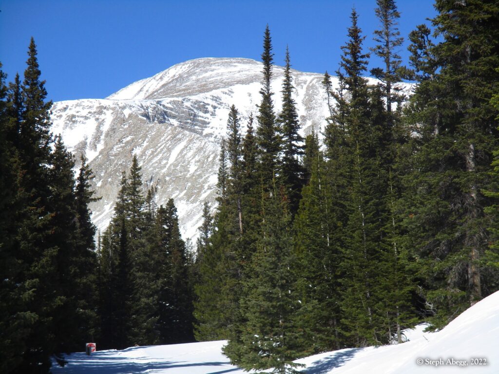
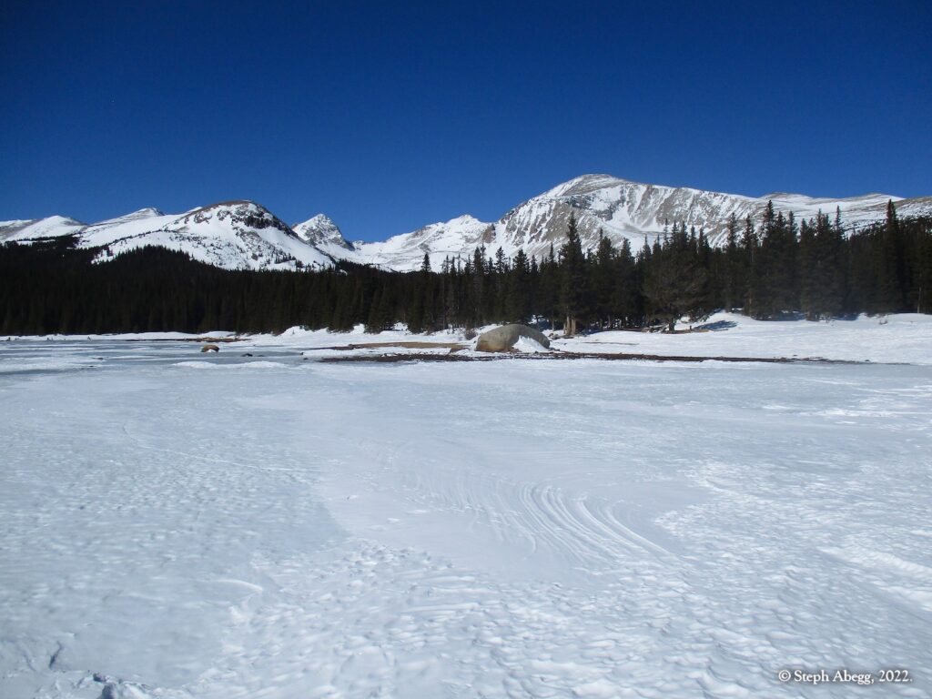
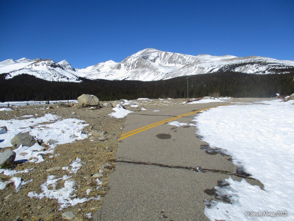
Mt. Audubon is nestled in the middle of the Indian Peaks Wilderness, and dominates the skyline from the east. With a summit over 13,000 feet in elevation, sweeping views of the Indian Peaks and the southern end of Rocky Mountain National Park, and a mellow east ridge ascent, it's no surprise Mt. Audubon is one of the classic Indian Peaks summit hikes, any time of year. The windswept nature of the upper slopes make for quick travel (but also mean that this area can get quite windy—as a sidenote I had already bailed once on Audubon earlier this winter due to the winds, but on this particular day the winds were about 20mph, which is reasonable.) I did not see anyone else during my entire climb.
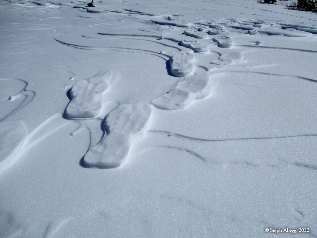
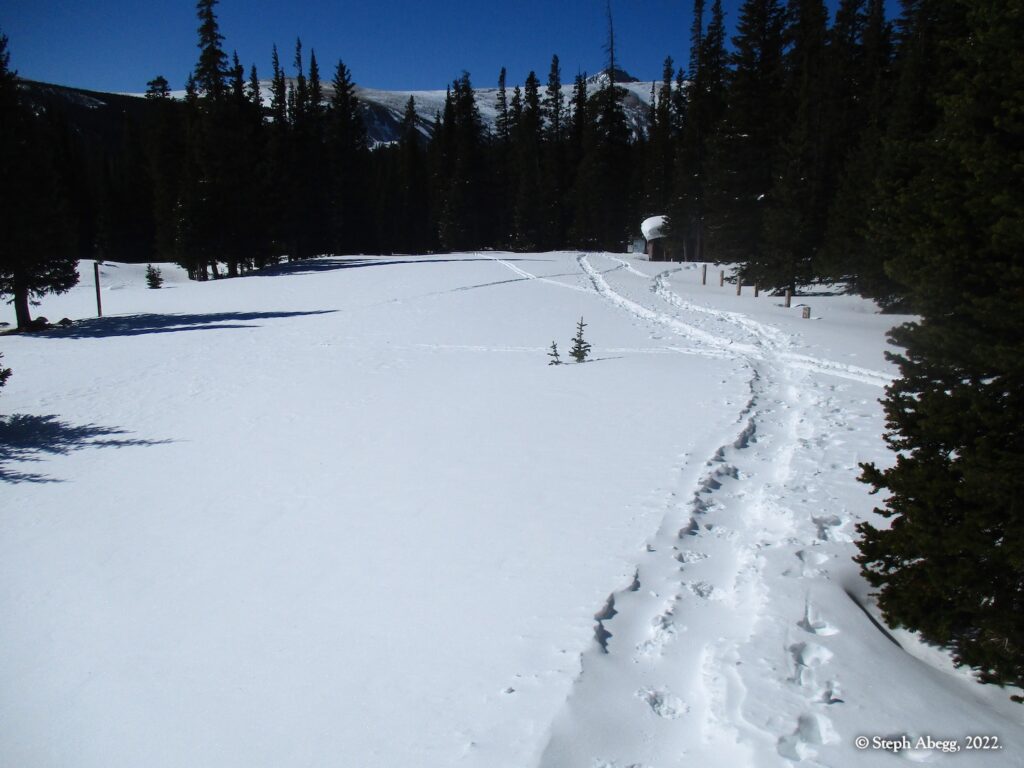
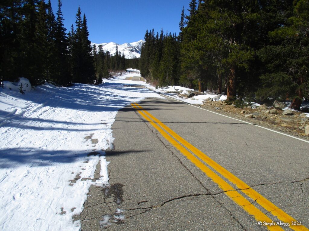
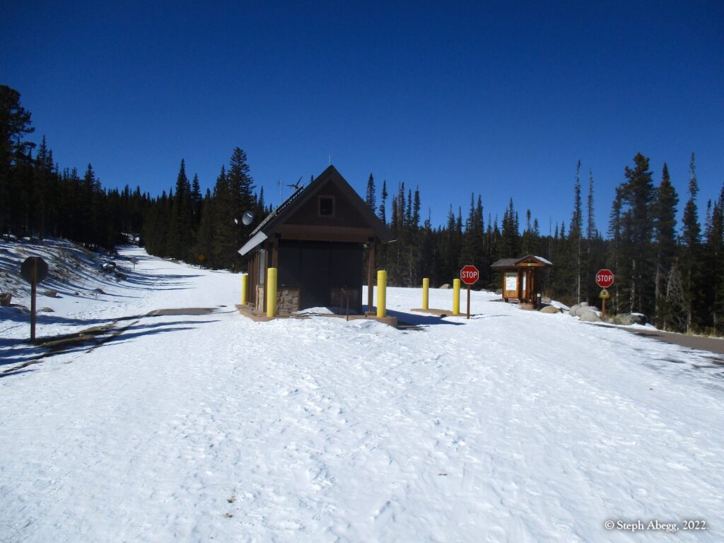
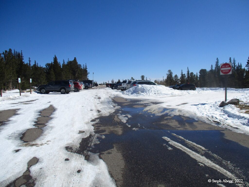
My car to car time was 6 hours and 45 minutes, starting at the winter parking lot. The 5.6 miles of road (2.8 up, 2.8 down) went fairly quickly because the road was packed down from foot traffic. I did need snowshoes for the forested section of trail, but took them off on the windswept east ridge.
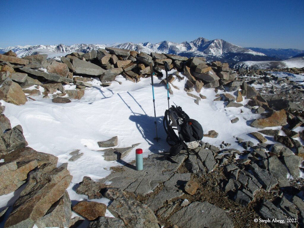
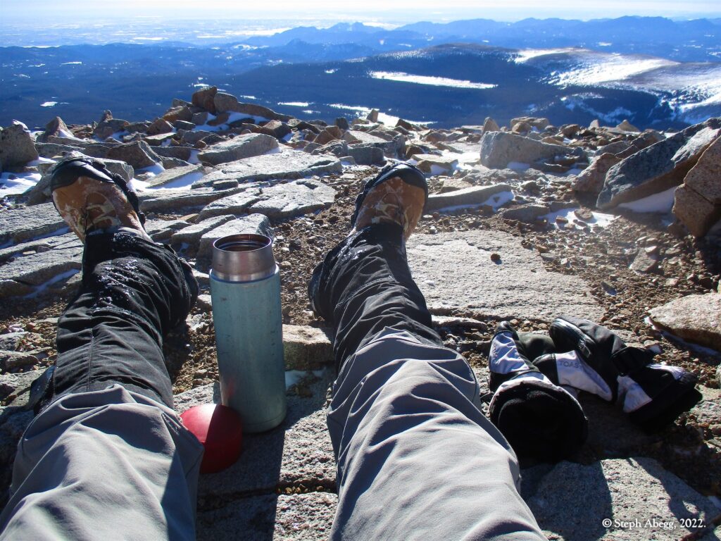
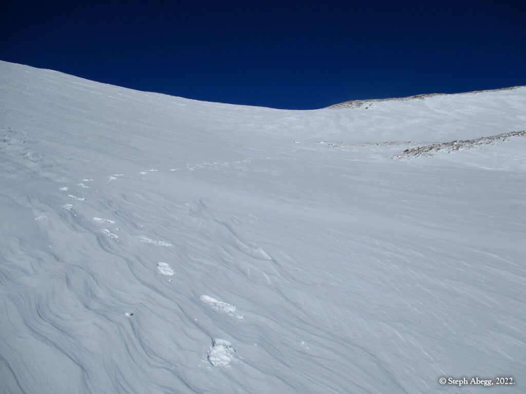
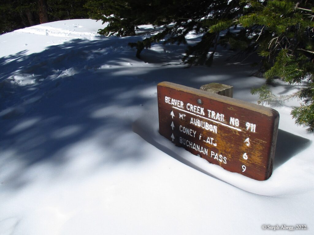
Below is a sampling of photos from my gorgeous morning summit lap.

