I have my sights set on the "
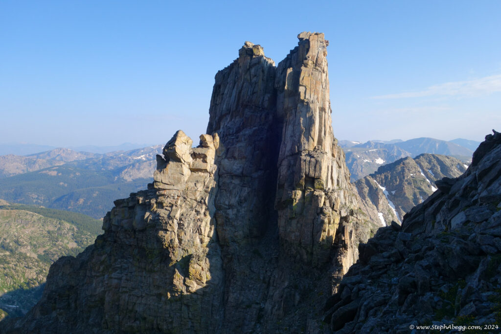
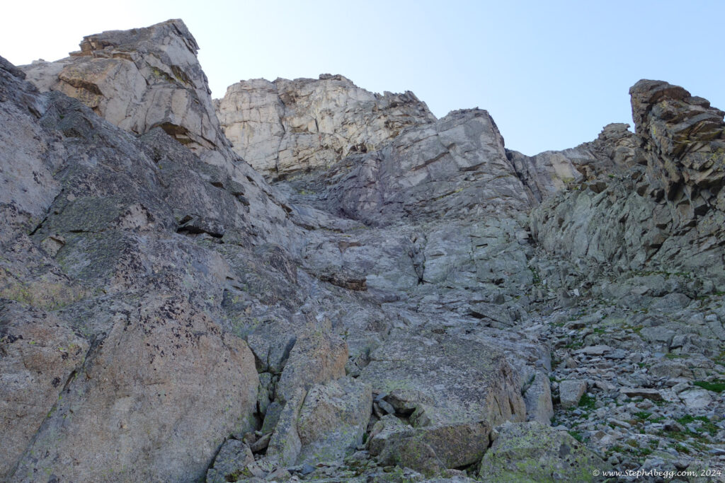
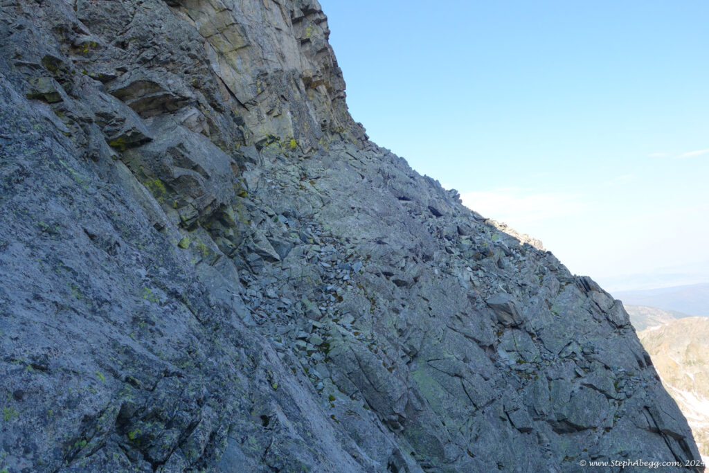
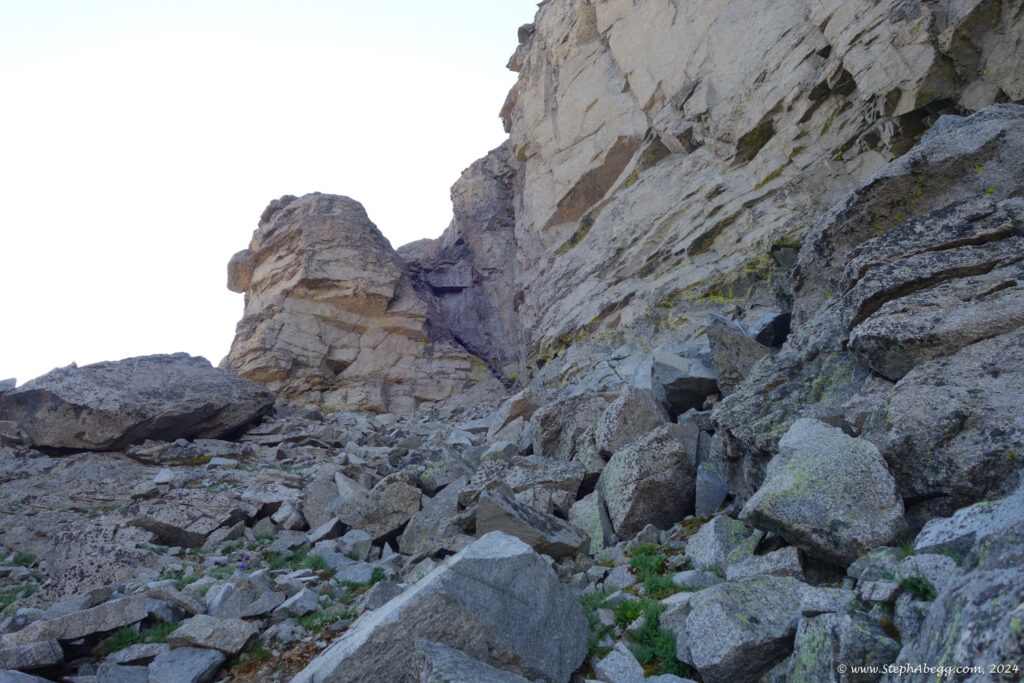
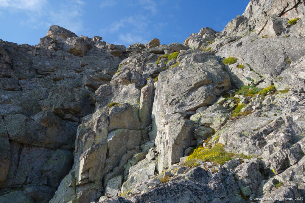
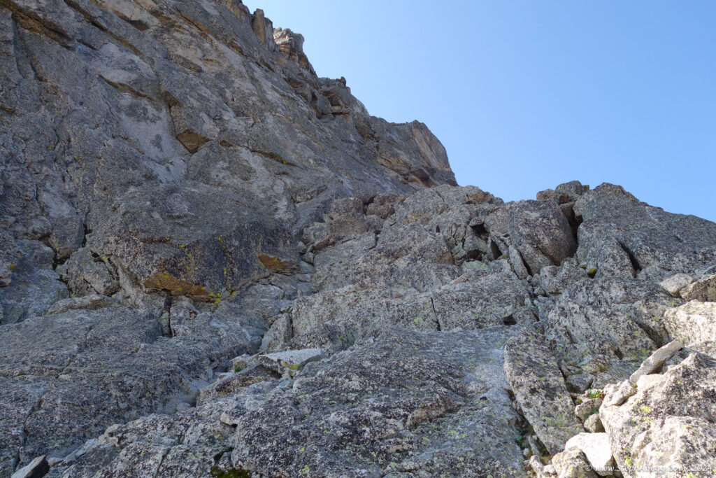
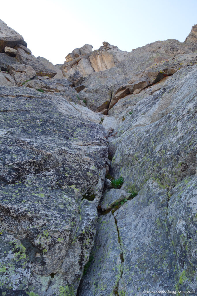
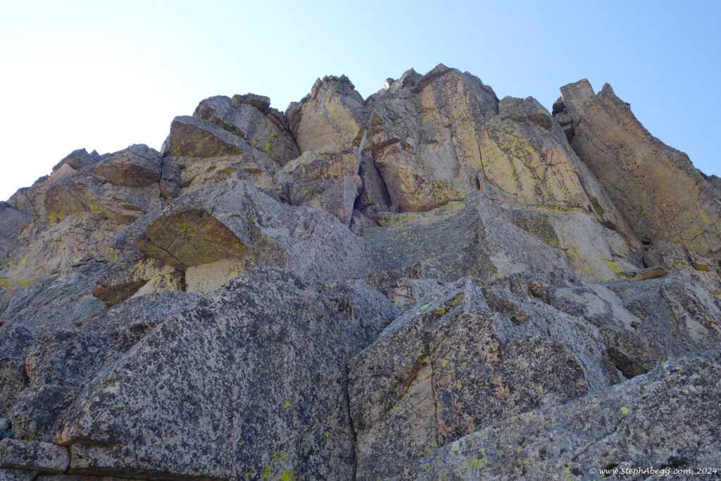
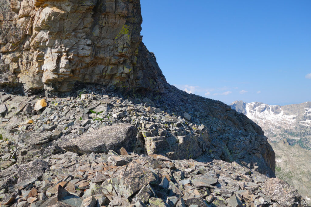
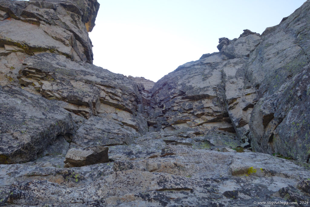
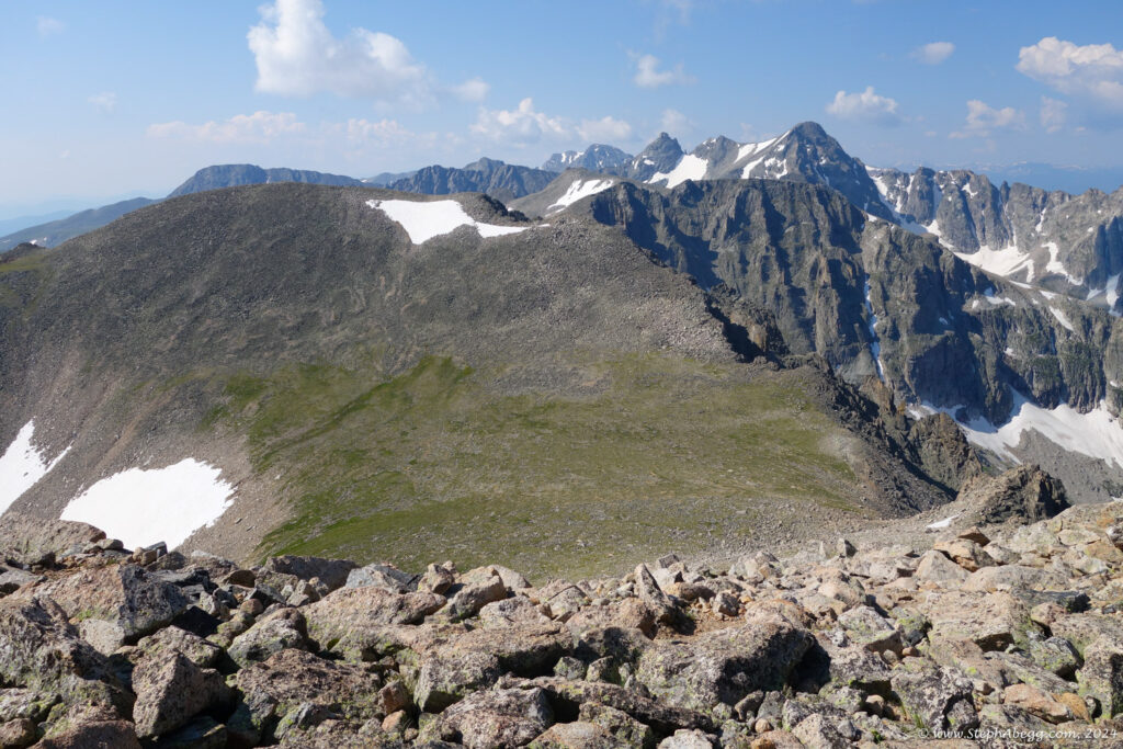
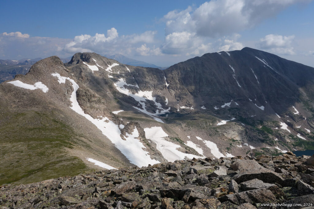
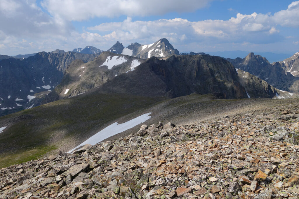
LA Freeway", a 38(or so)-mile ridgeline traverse from Longs Peak to Arapaho Peaks. I've been scoping out various "crux" sections. One section I still needed to scope out was the north sides of Paiute and Toll. Both of these peaks have a couple of low 5th sections on the standard routes up the north sides, but both also have vague references to "possible 4th class detours". So my goal was to find these detours.
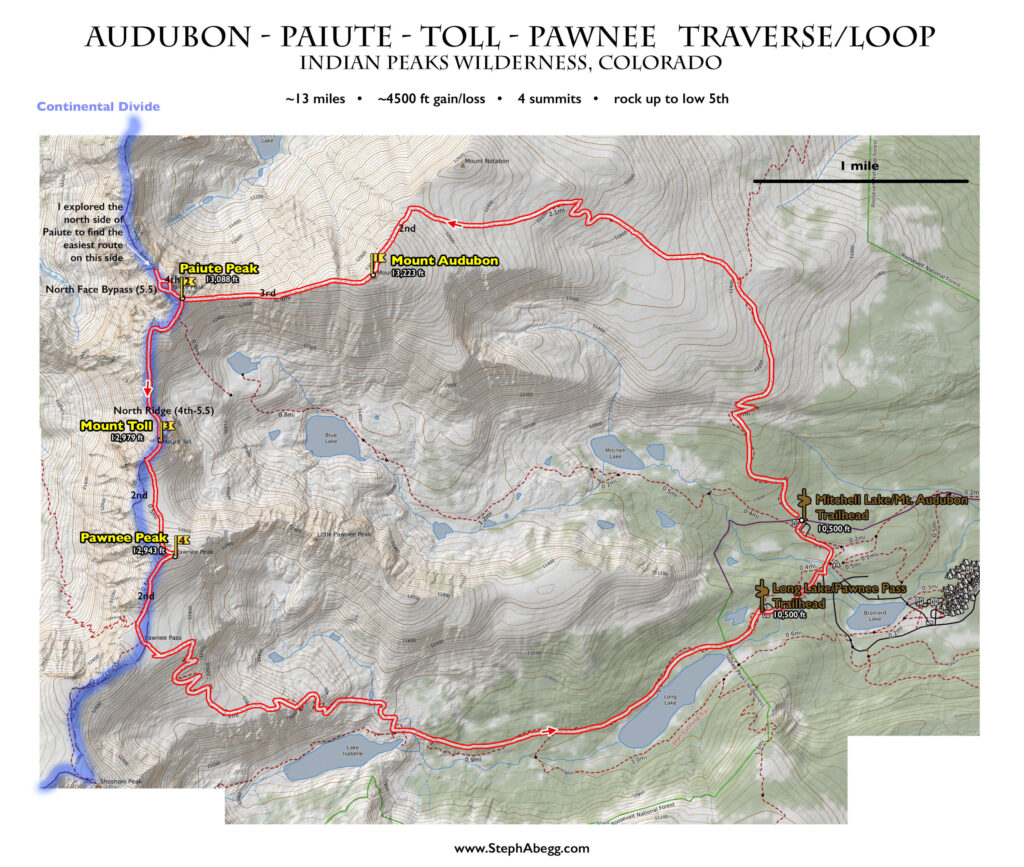
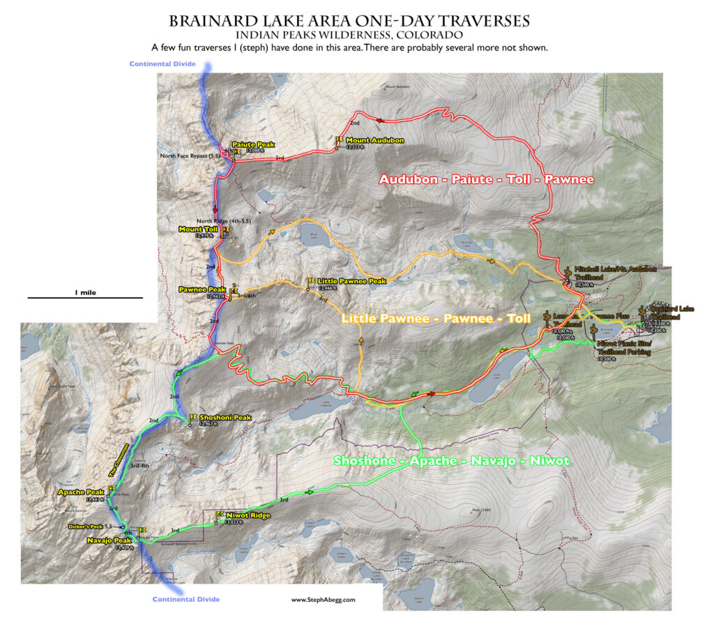
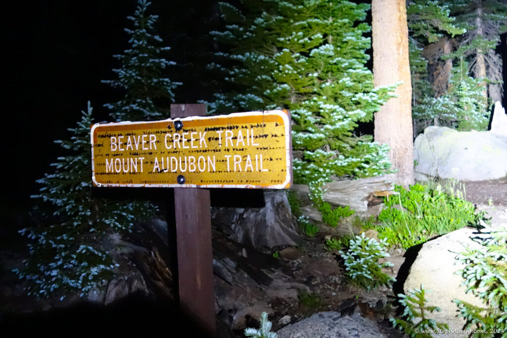
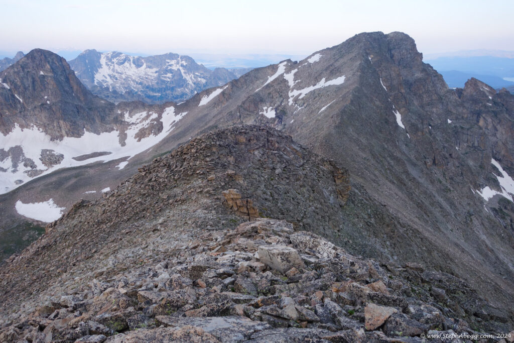
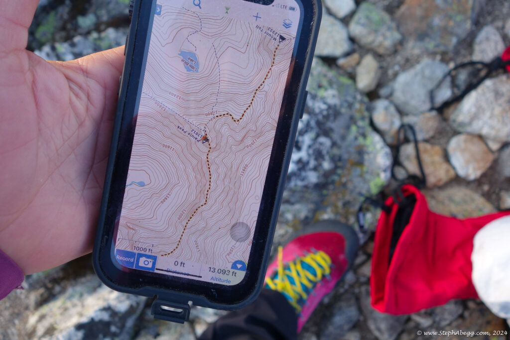
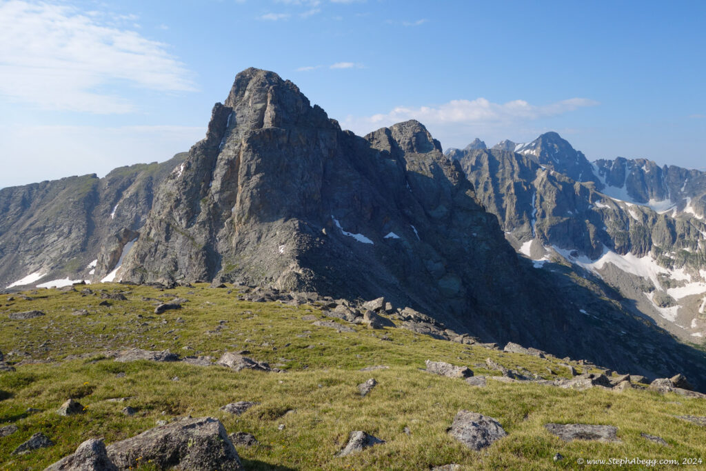
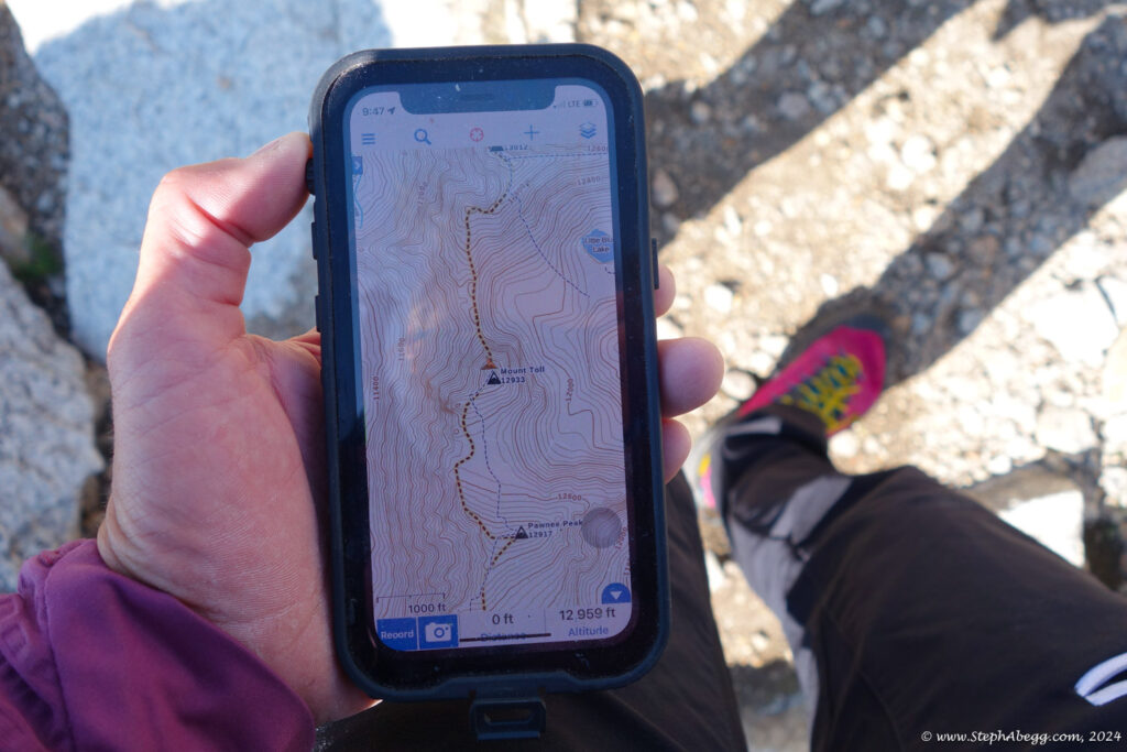
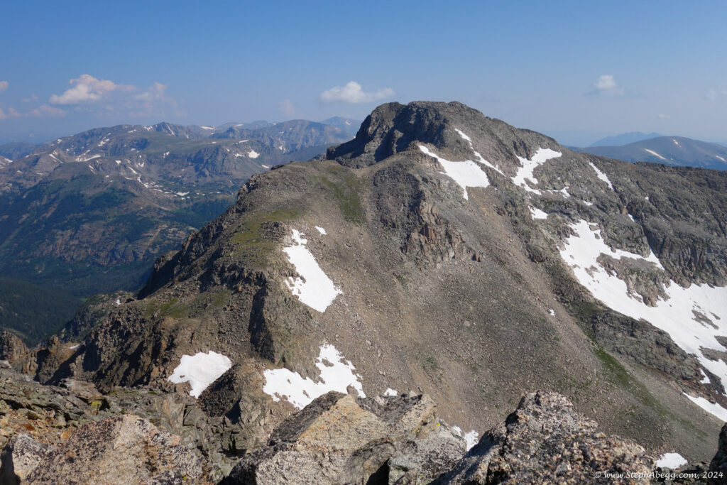
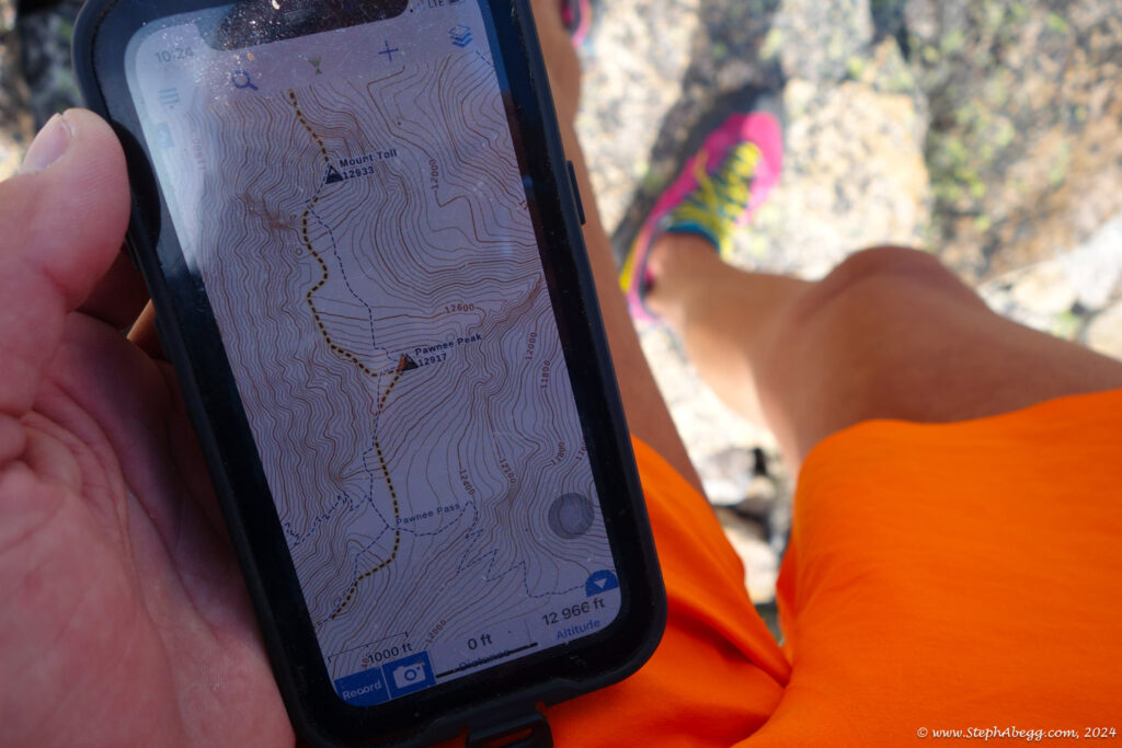
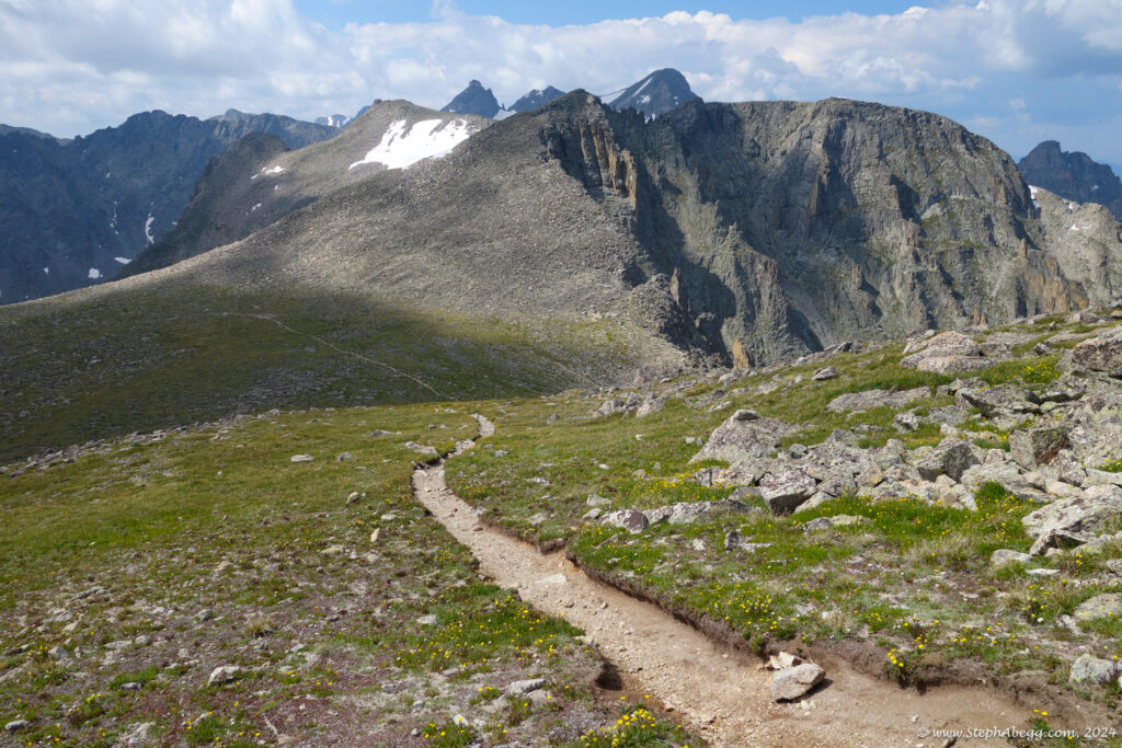
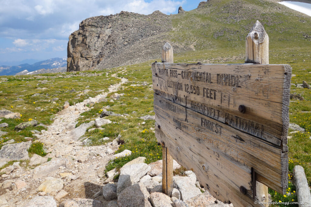
I decided to do a loop over Audubon, Paiute, Toll, and Pawnee. This loop would naturally require ascending the north side of Toll, but to scope out the north side of Paiute (which is ascended via the 3rd class east ridge on this traverse) I would have to descend the north side and try to find the route. Fortunately, my efforts to find a 4th class bypass to the low 5th sections were successful on both Paiute and Toll.
The traverse took me 8 hours, or 7 if I don't include the hour spent scoping out the north side of Paiute. I didn't see a single other person on the ridge. As I was hiking out, the forecasted afternoon thundershowers were moving in on the peaks, and I enjoyed the dark sky and booms of thunder, knowing I was safely off the ridge. It was an enjoyable and productive way to get some exercise.
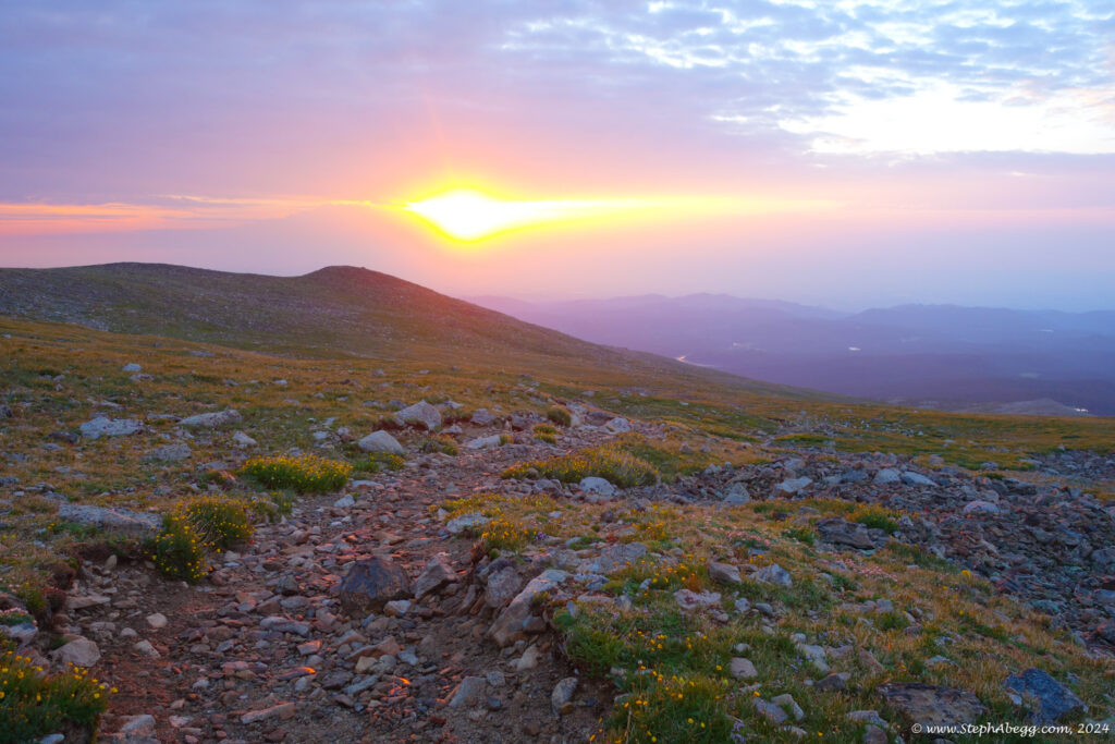
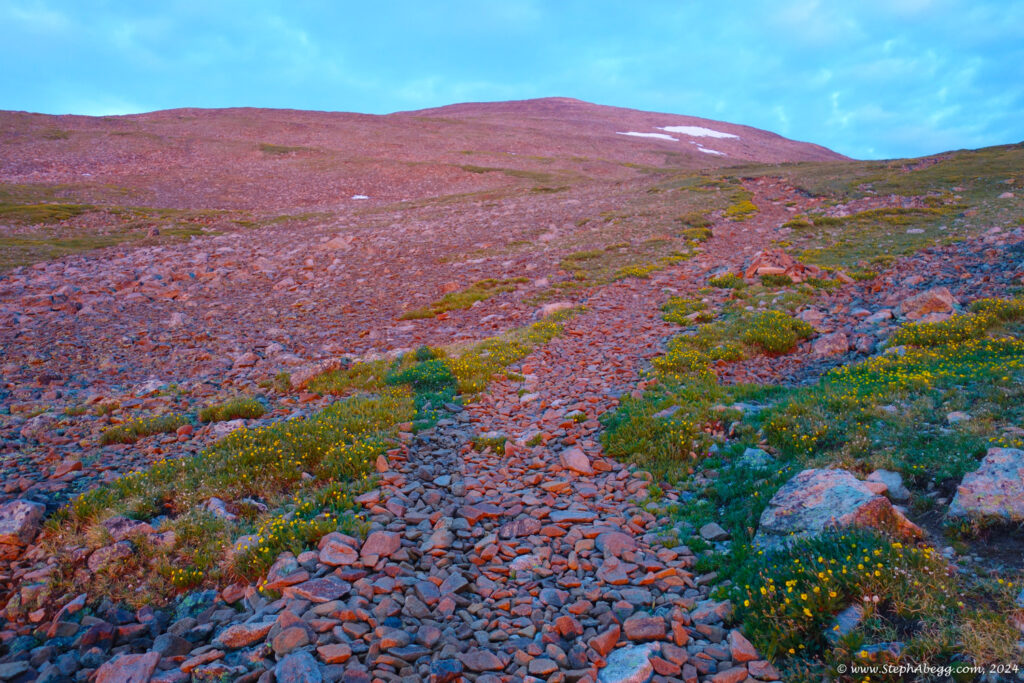
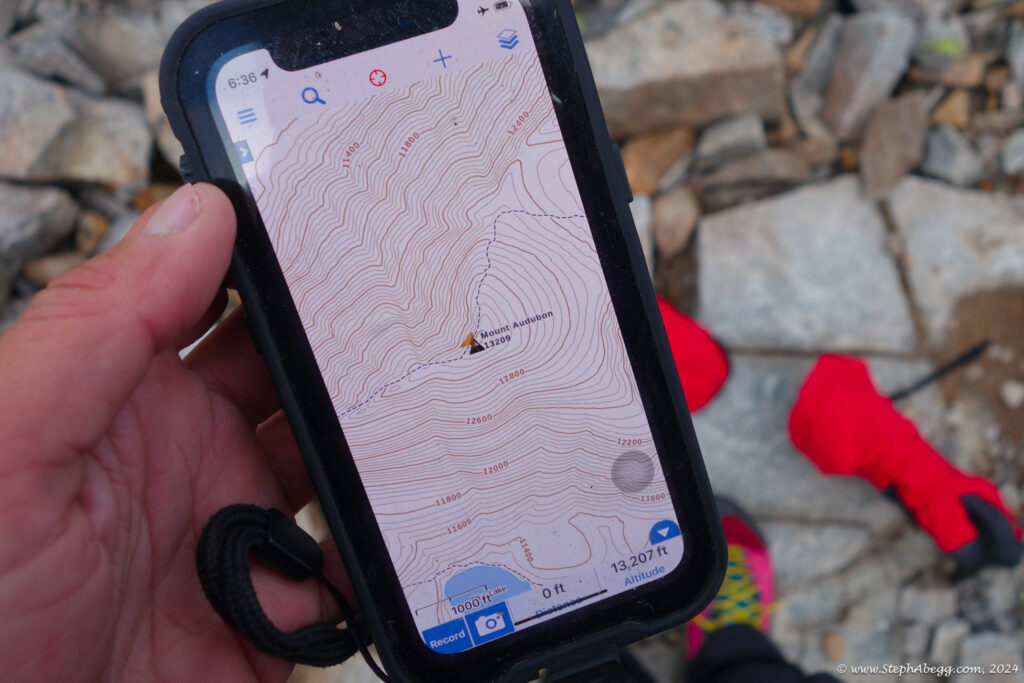
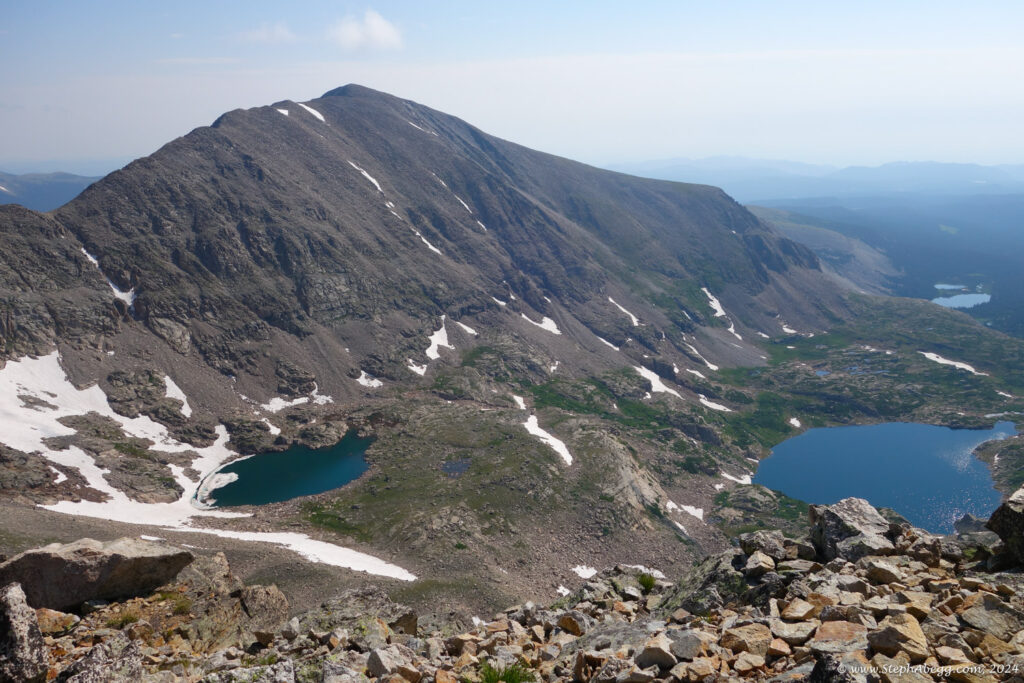
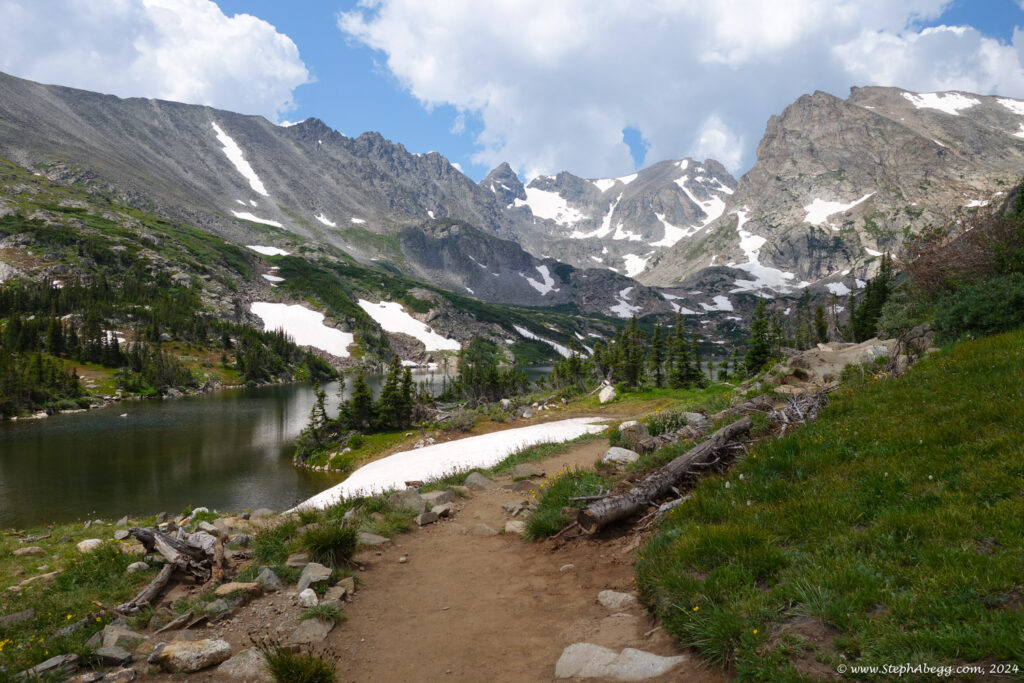
The following page contains a map and photos from my traverse.

