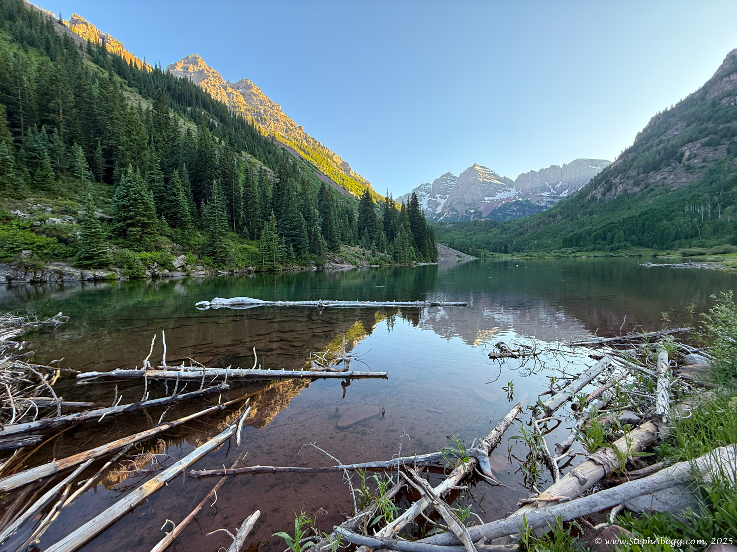
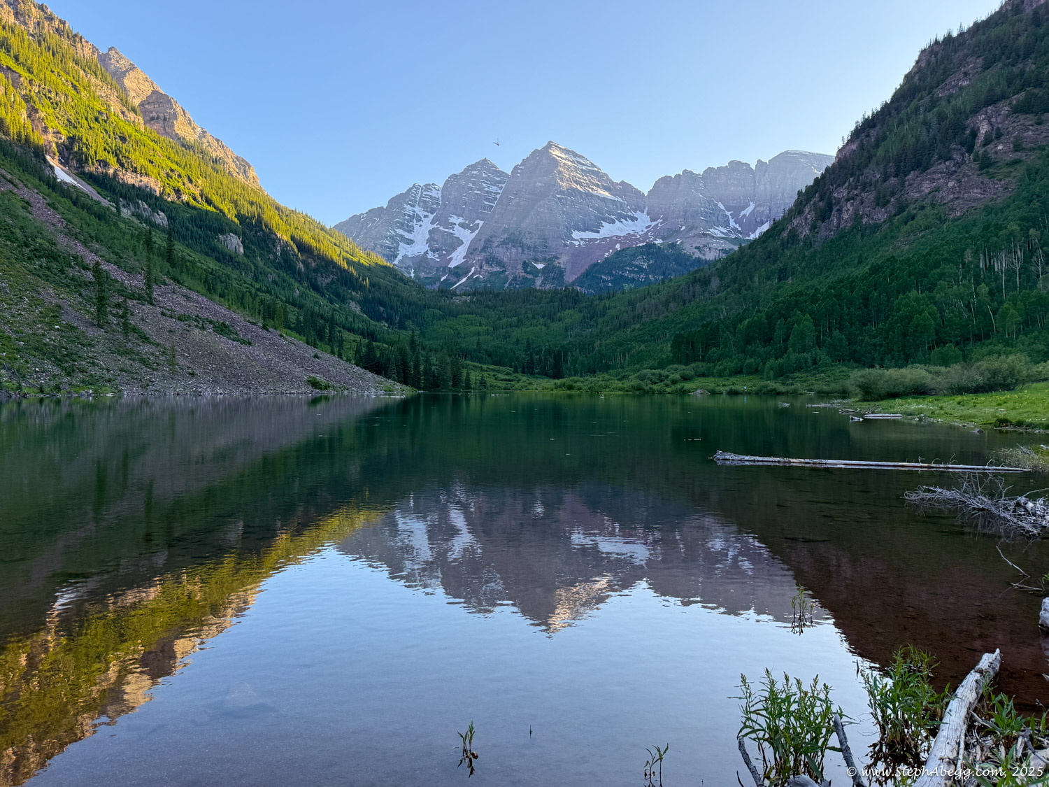
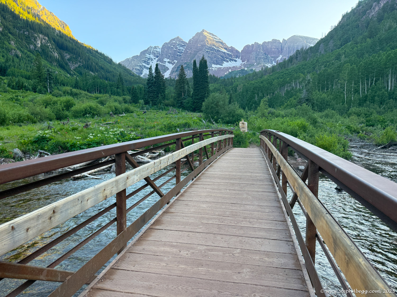
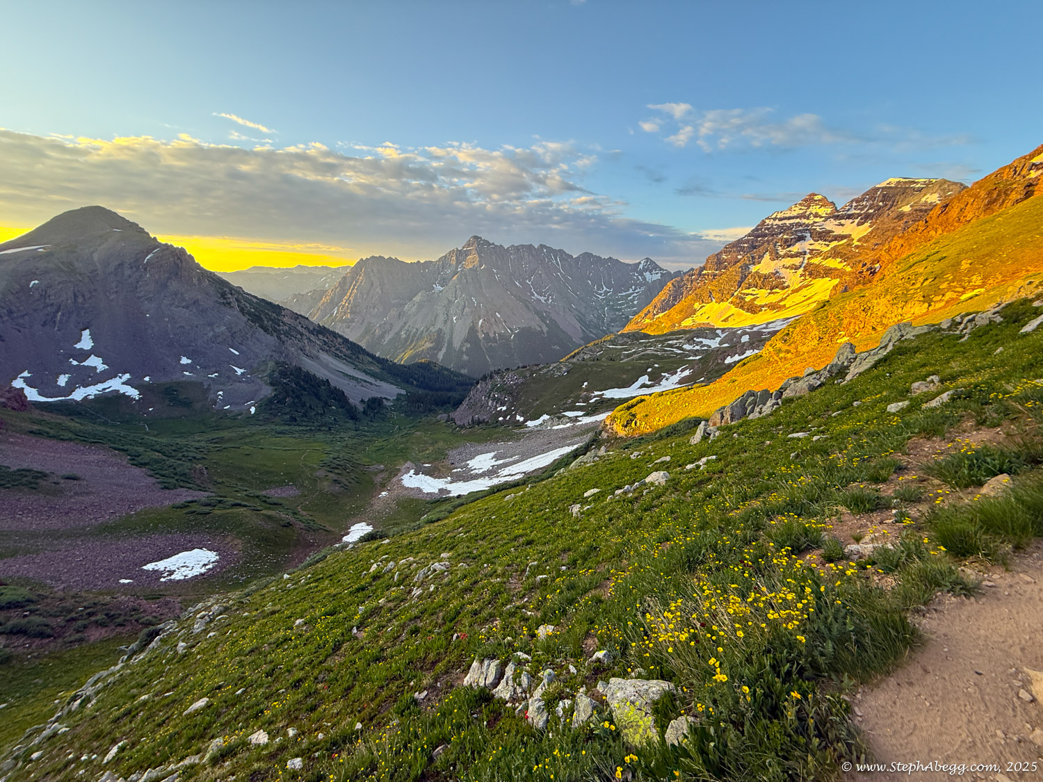
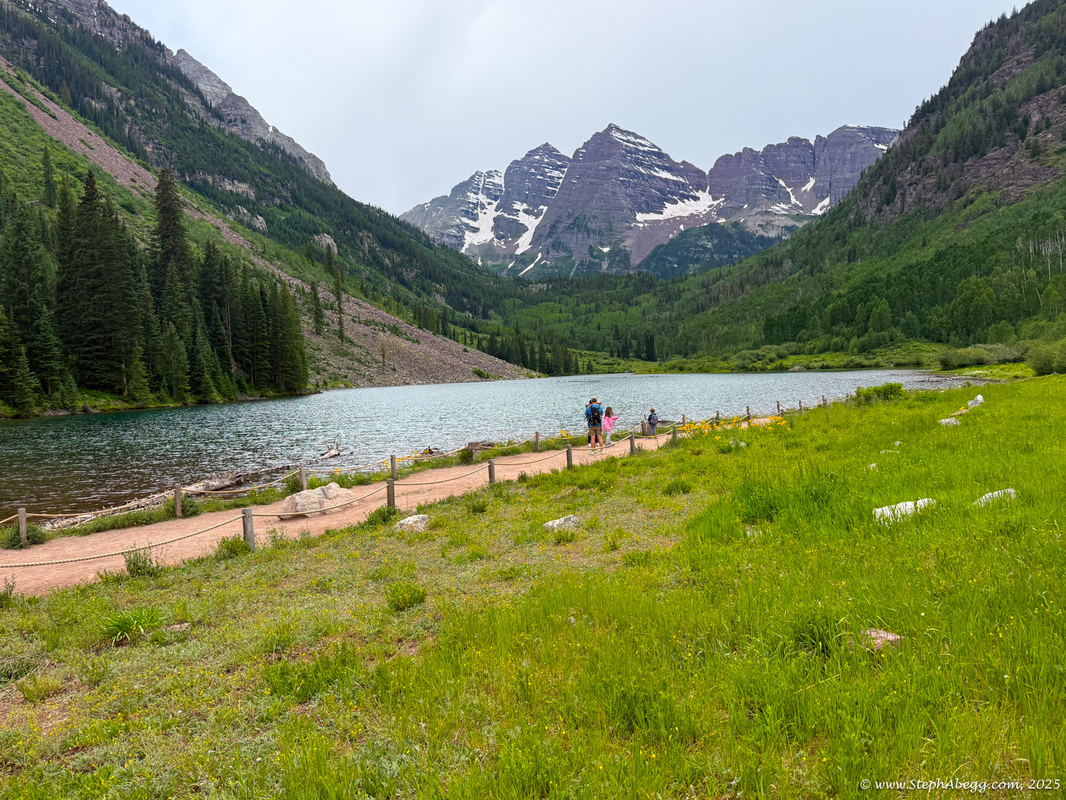
When I moved to Colorado in 2019, my dad told me about a legendary place he’d always dreamed of seeing: the Maroon Bells. Intrigued, I looked it up—and was instantly captivated. Nestled deep in the Elk Mountains, the Maroon Bells–Snowmass Wilderness spans 181,535 acres across the Gunnison and White River National Forests. Designated in 1980, the wilderness boasts 100 miles of trails, nine high mountain passes above 12,000 feet, and seven of Colorado’s iconic fourteeners—including the twin spires of the Maroon Bells and nearby Snowmass Mountain.
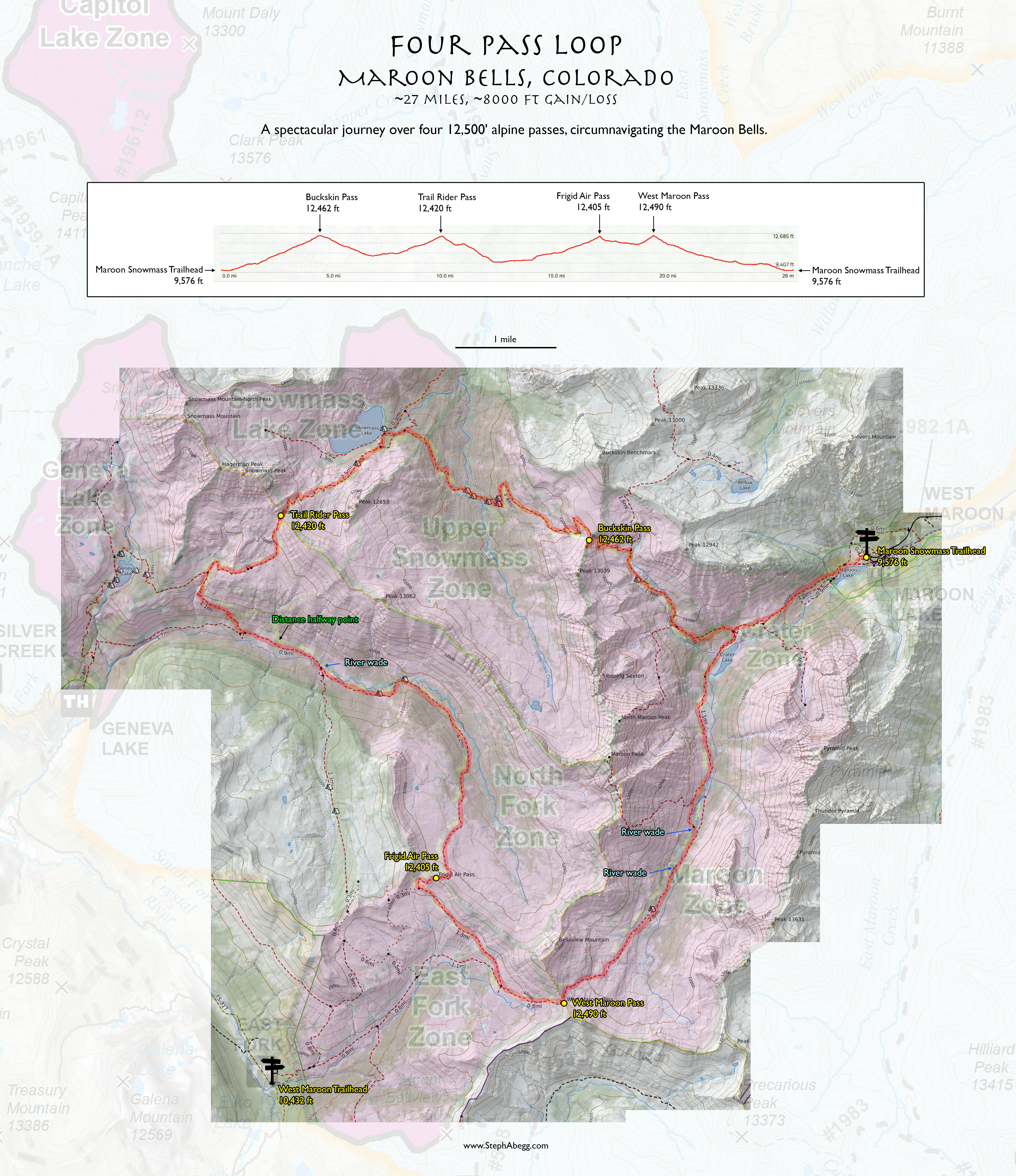
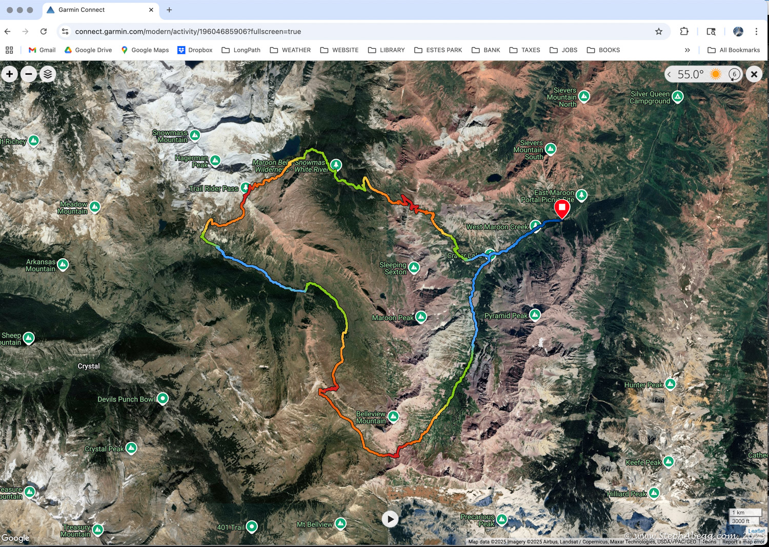
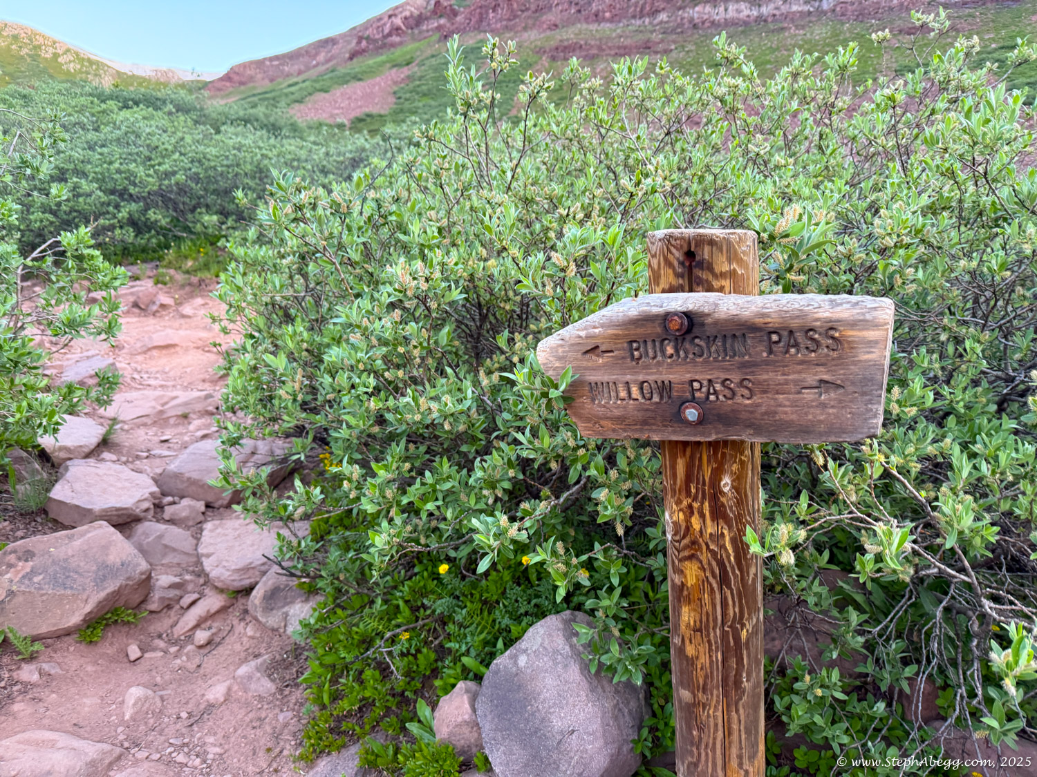
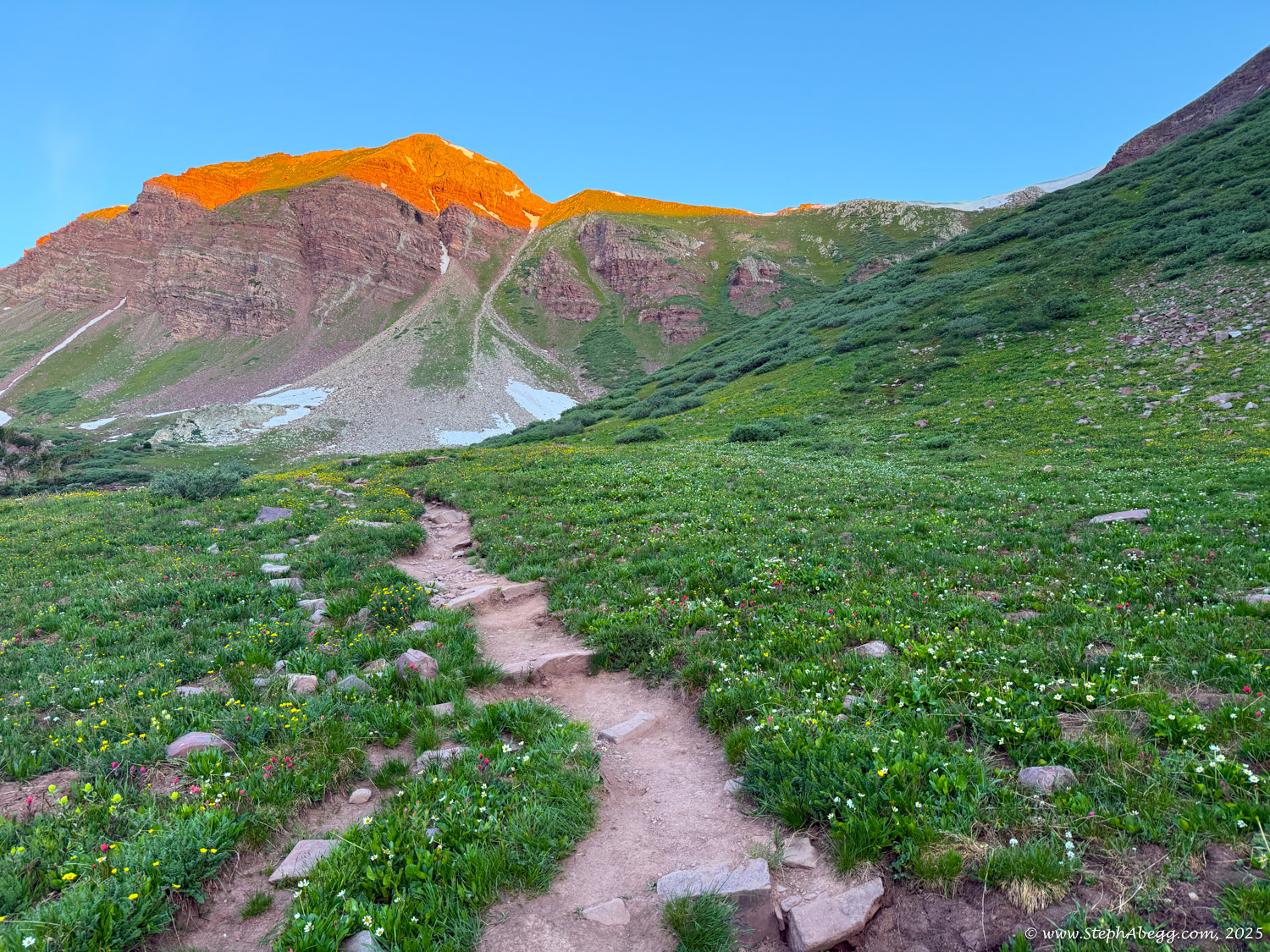
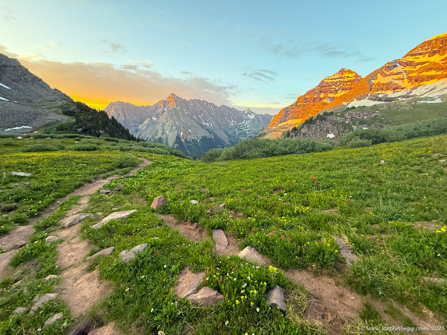
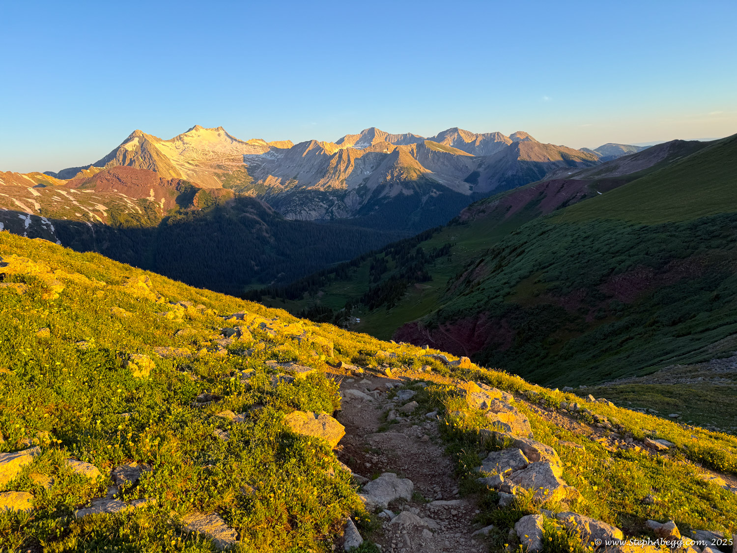
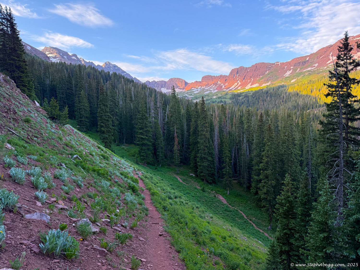
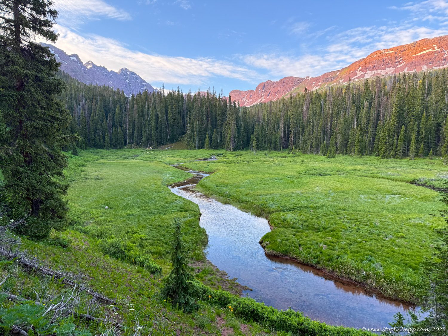
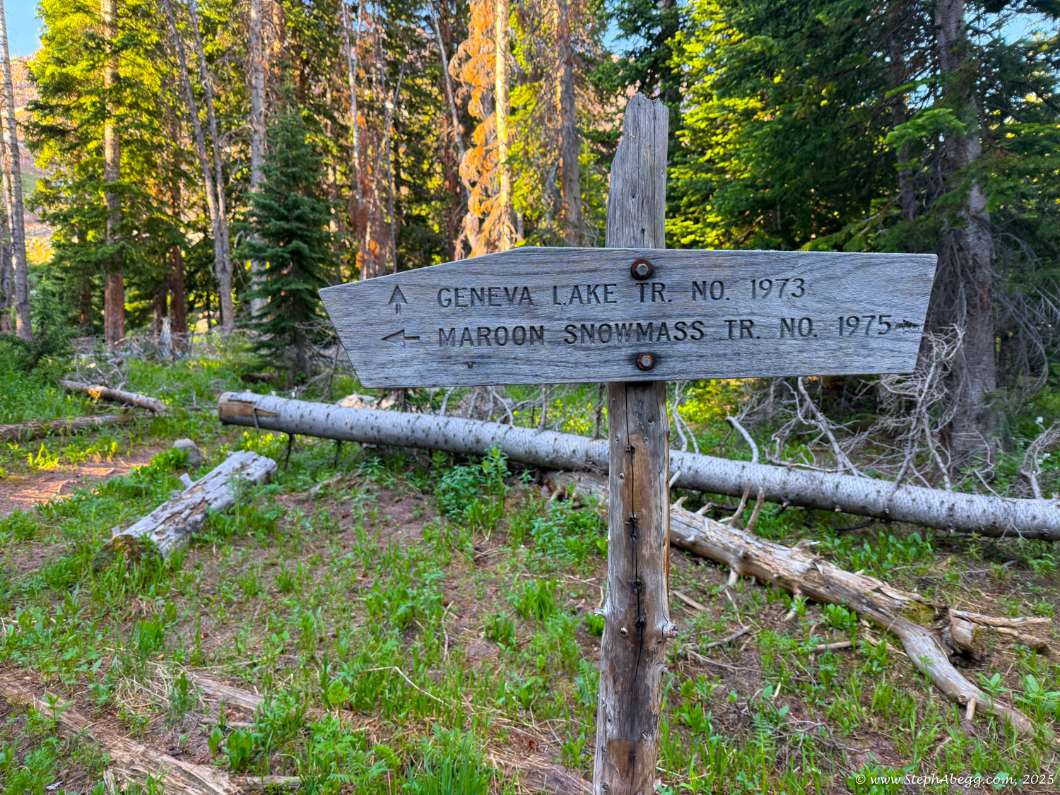
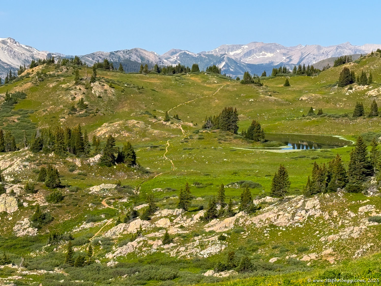
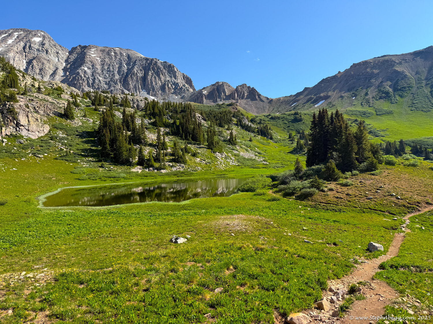
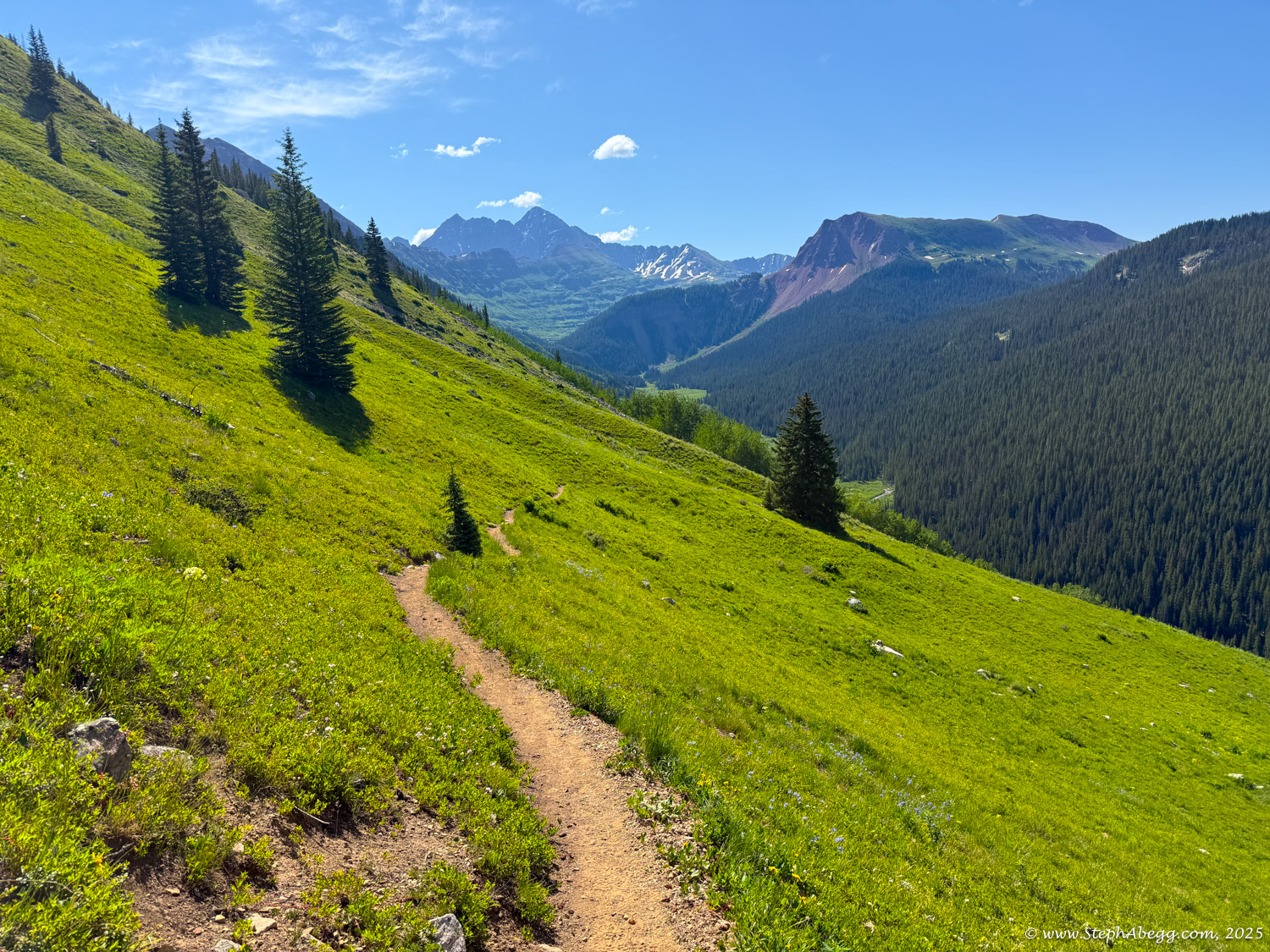
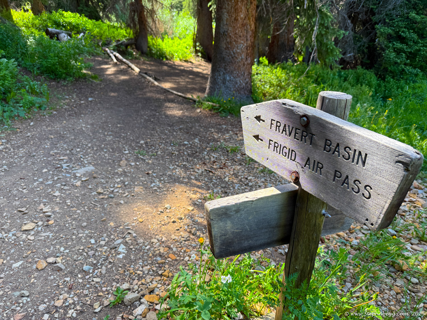
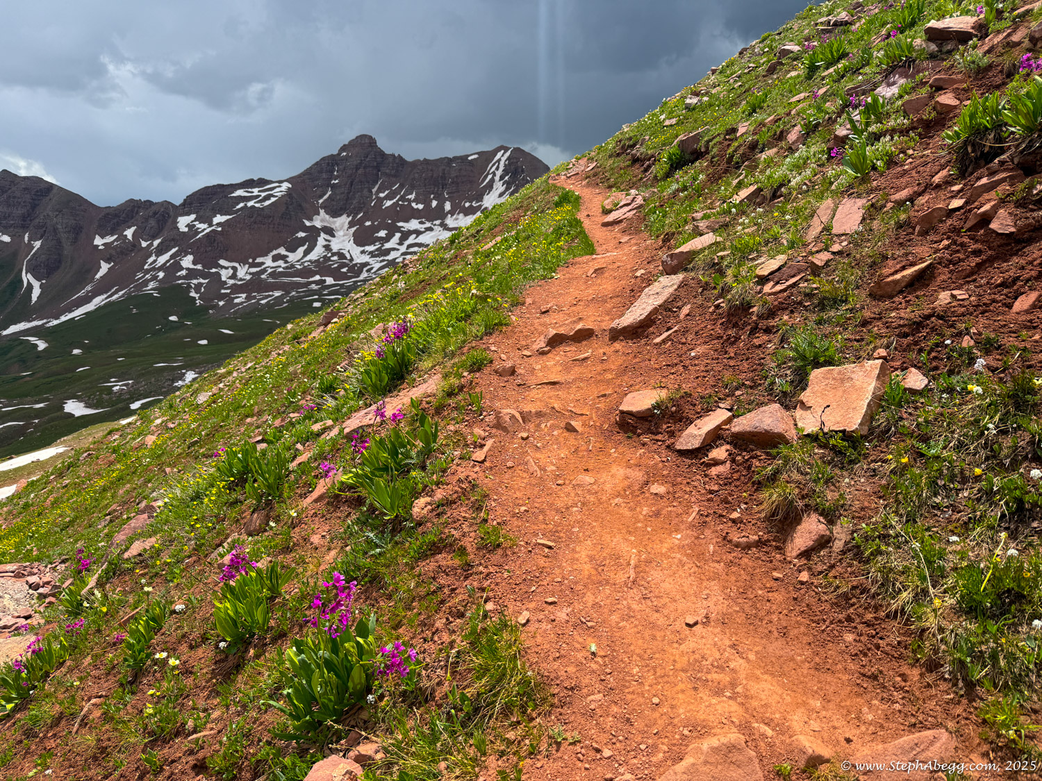
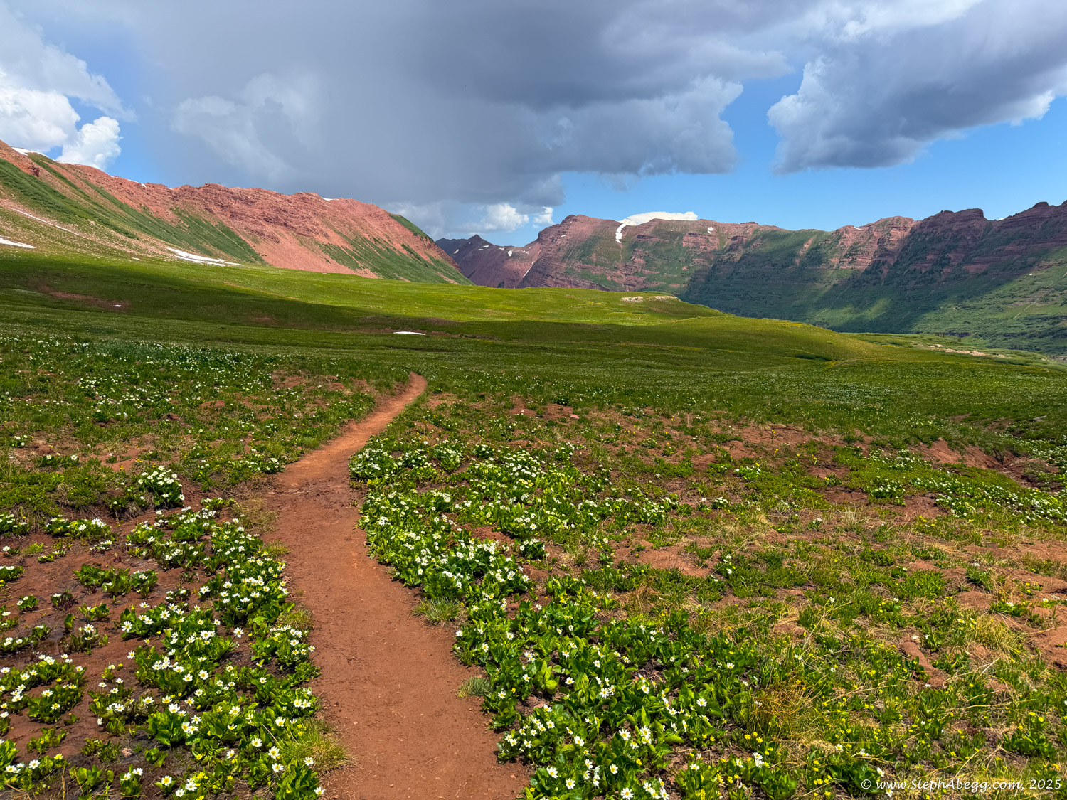
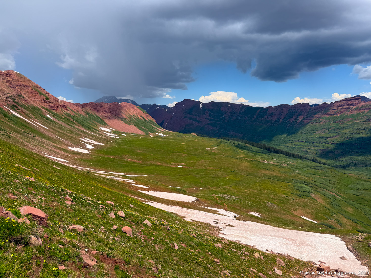
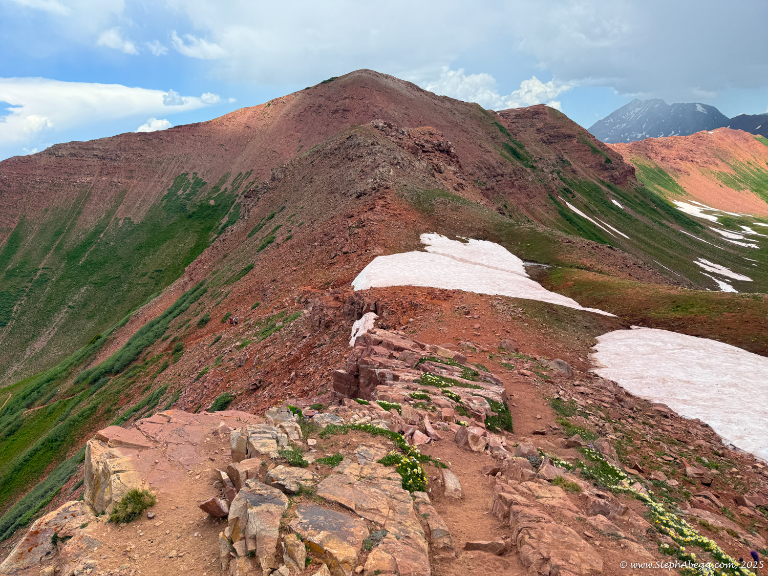
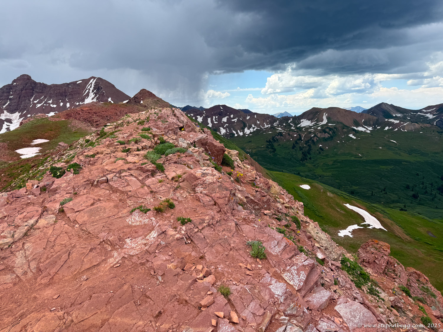
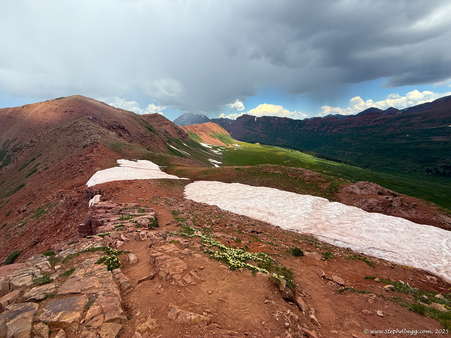
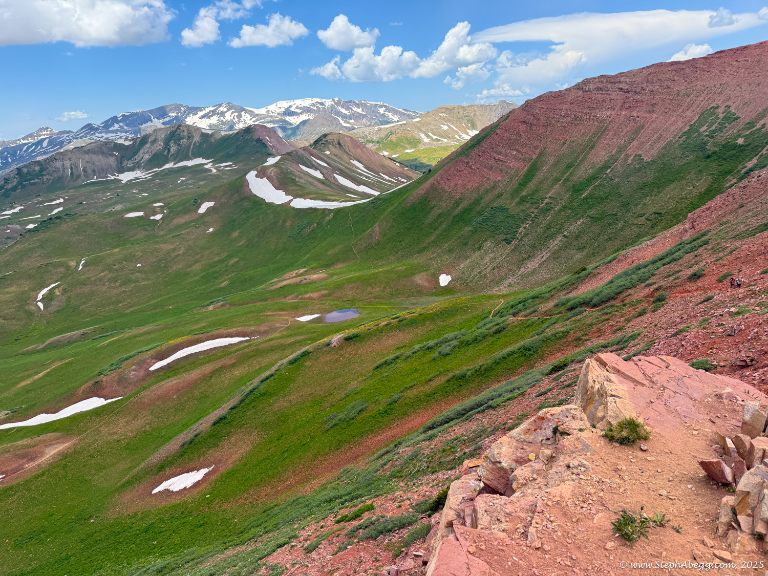
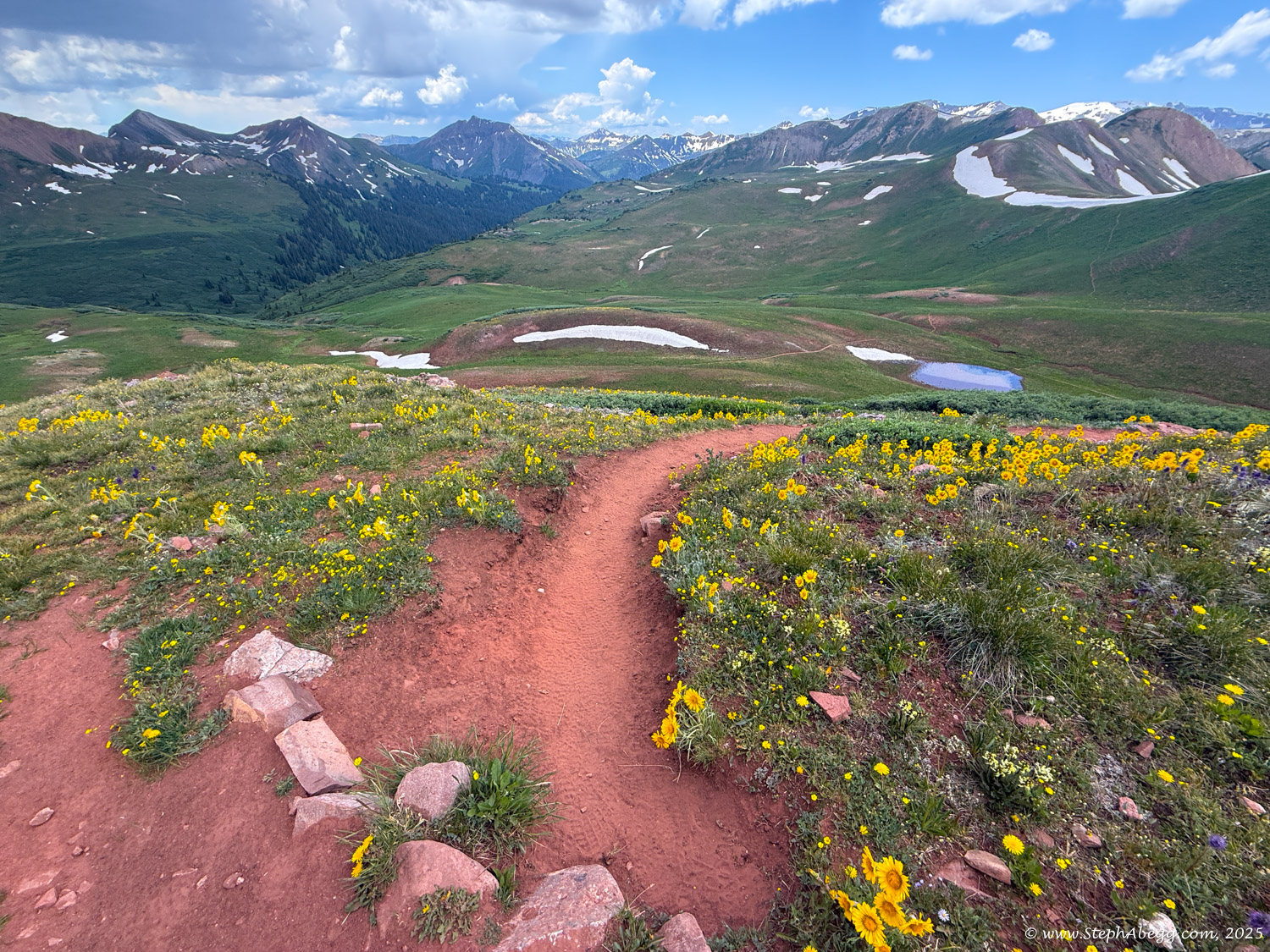
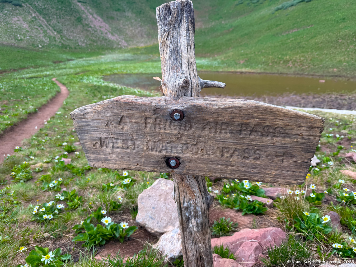
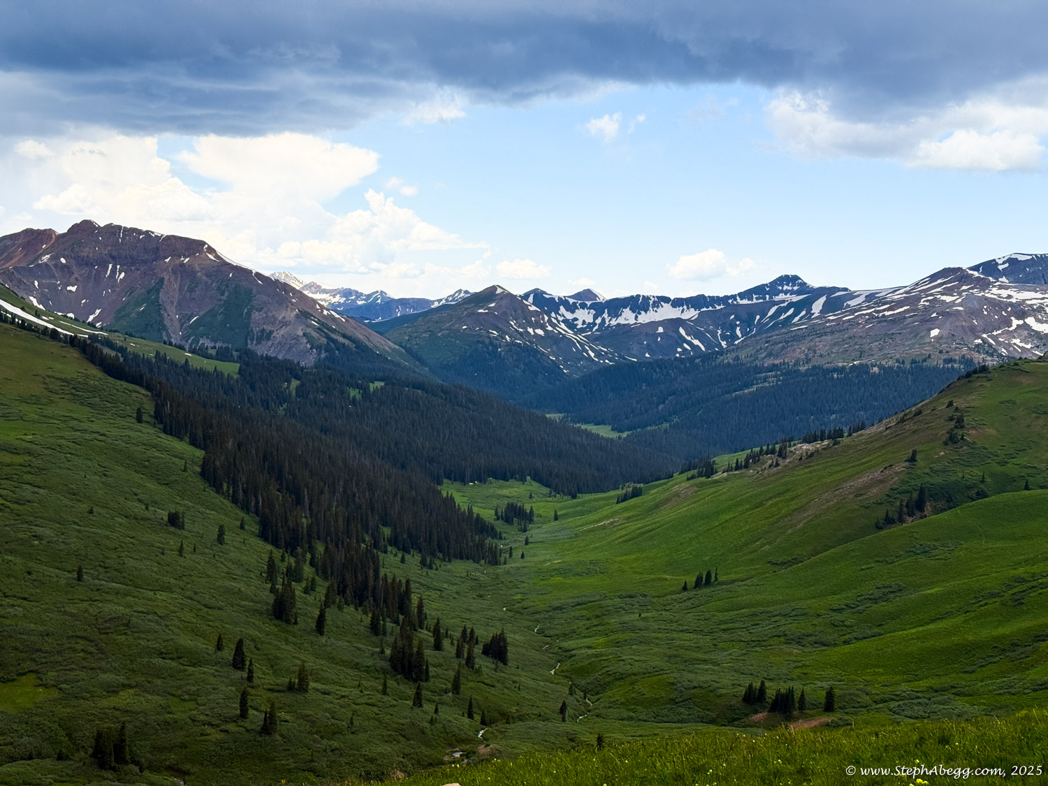
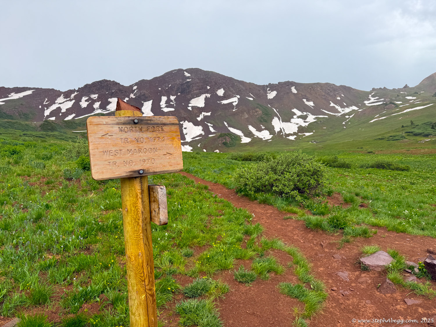
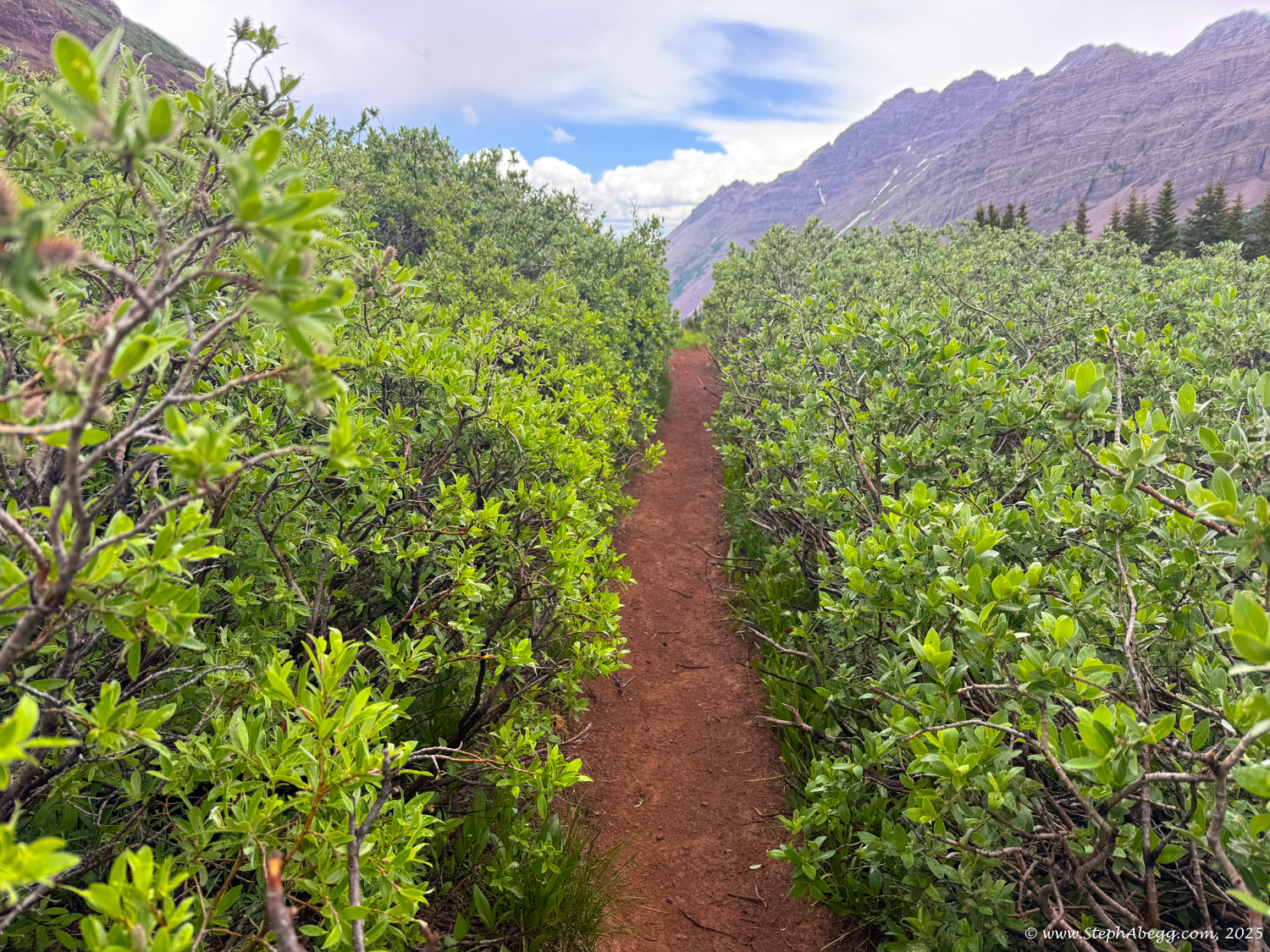
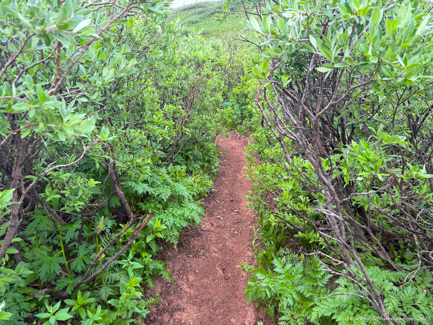
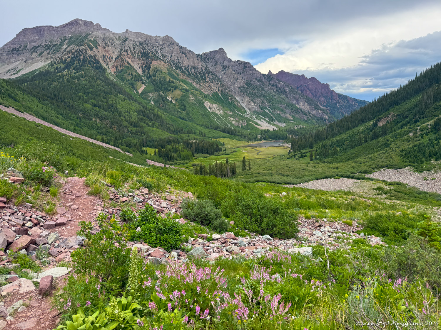
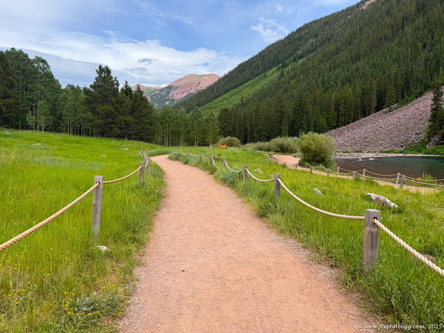
I knew immediately I had to hike the Four Pass Loop—a stunning 27-mile circuit that weaves through this rugged terrain. The route climbs over four alpine passes—Buckskin, Trail Rider, Frigid Air, and West Maroon—all above 12,000 feet, and traverses expansive wildflower meadows, dramatic ridgelines, crystal-clear alpine lakes, and soaring peaks. It's widely considered one of the most iconic high-altitude loops in the Rockies. While most hikers complete it as a 3–4 day backpacking trip, others tackle the challenge in a single, strenuous day, gaining over 7,500 feet of elevation. The loop begins and ends at Maroon Lake near Aspen, offering breathtaking views from start to finish.
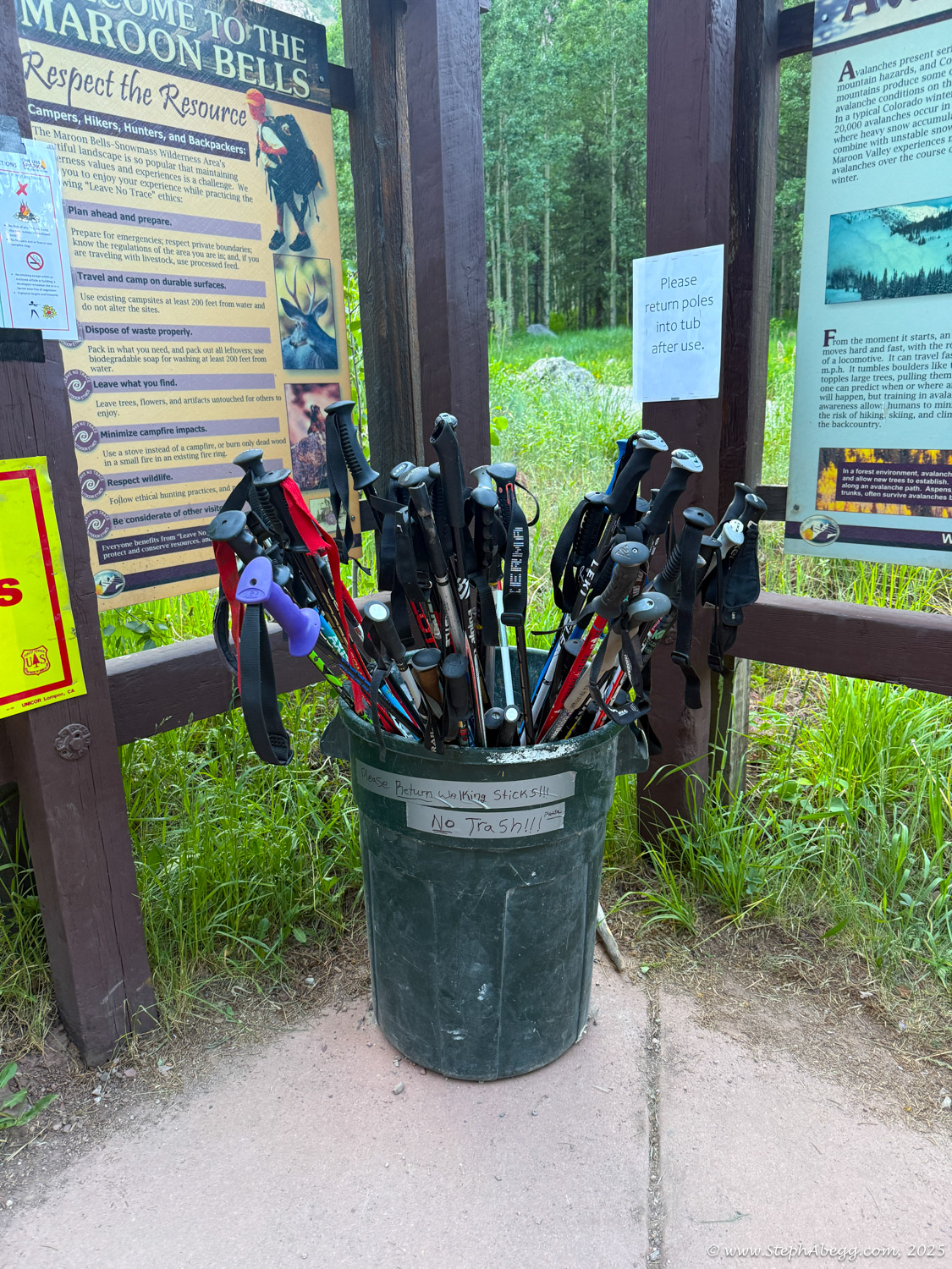
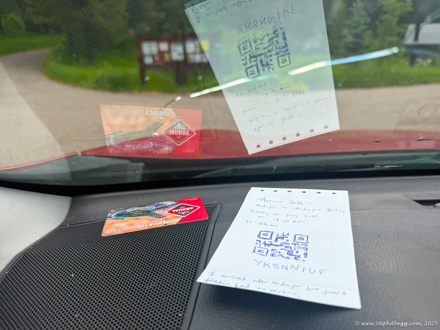
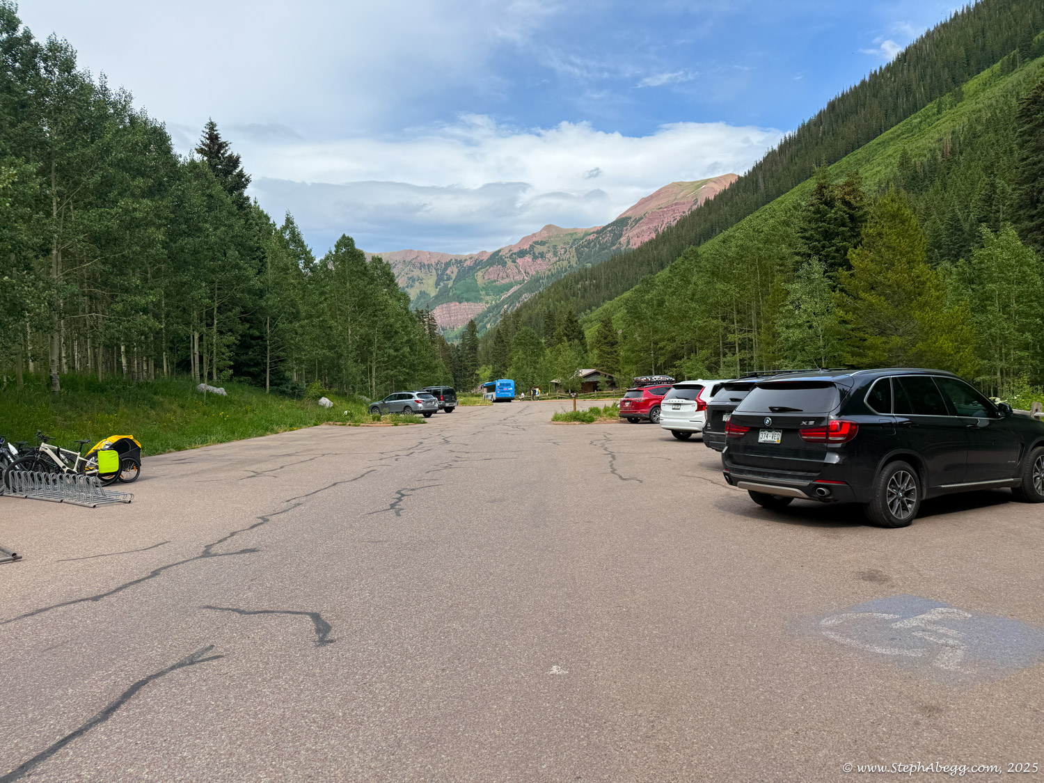
Originally, I had hoped to backpack the loop over a few days, camping along the way. But after the new permit system was introduced in 2023—requiring online reservations for designated campsites—it proved nearly impossible to find open spots, even with advance planning. So I pivoted: I’d go for a one-day push instead. It also fit more easily into my schedule. In late June 2025, I was climbing in Rifle and looking for a solid dayhike to do on a rest day. I checked the parking situation at Maroon Lake (
https://www.visitmaroonbells.com) and discovered just one all-day parking reservation still available for the summer—on Tuesday, July 1. I booked it. (The alternative—taking the shuttle—wouldn’t have worked, as the first shuttle doesn’t run until 7 a.m. and the last returns at 5 p.m., meaning you’d need to complete the loop in under 10 hours. I wasn’t confident I could manage that.)
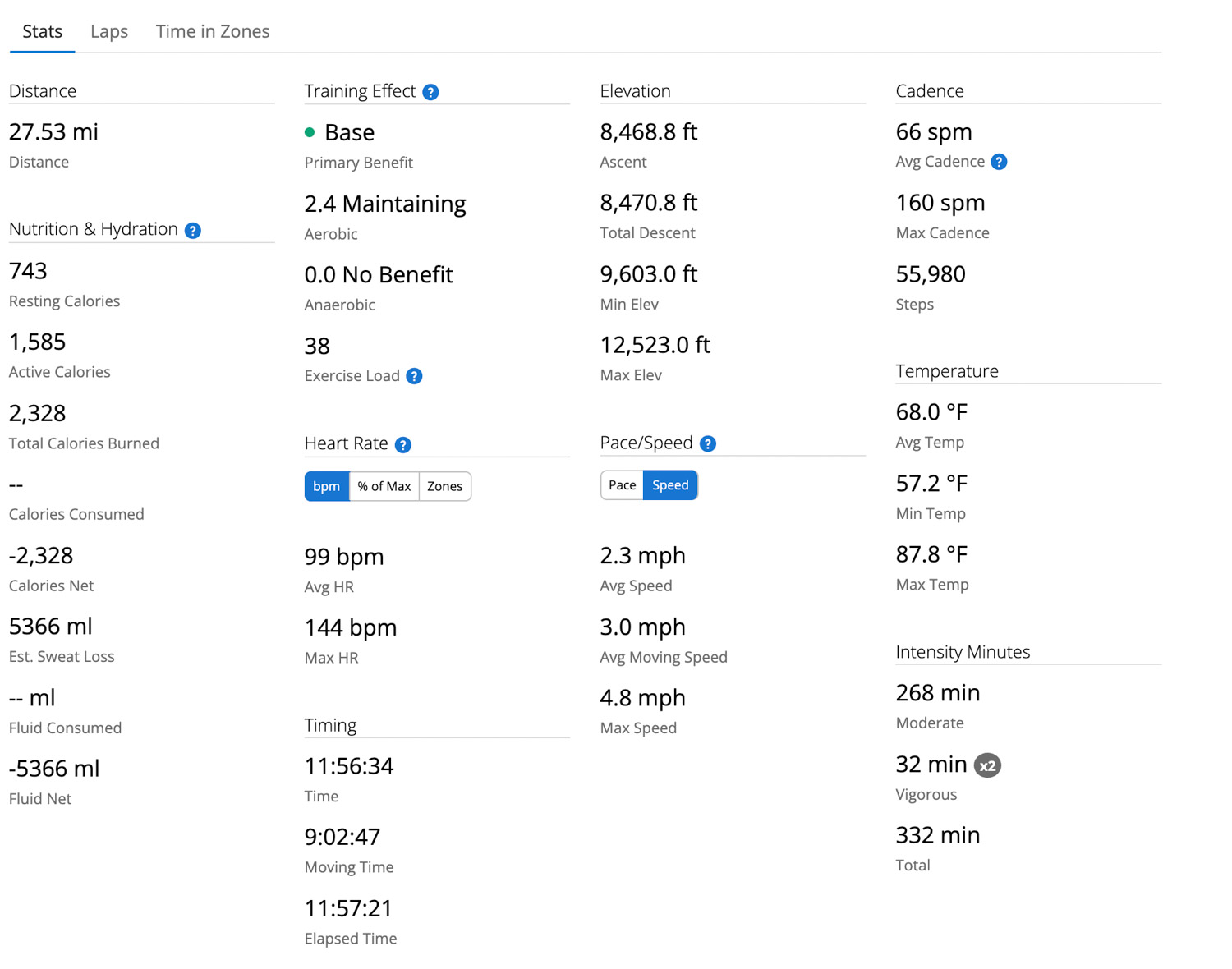
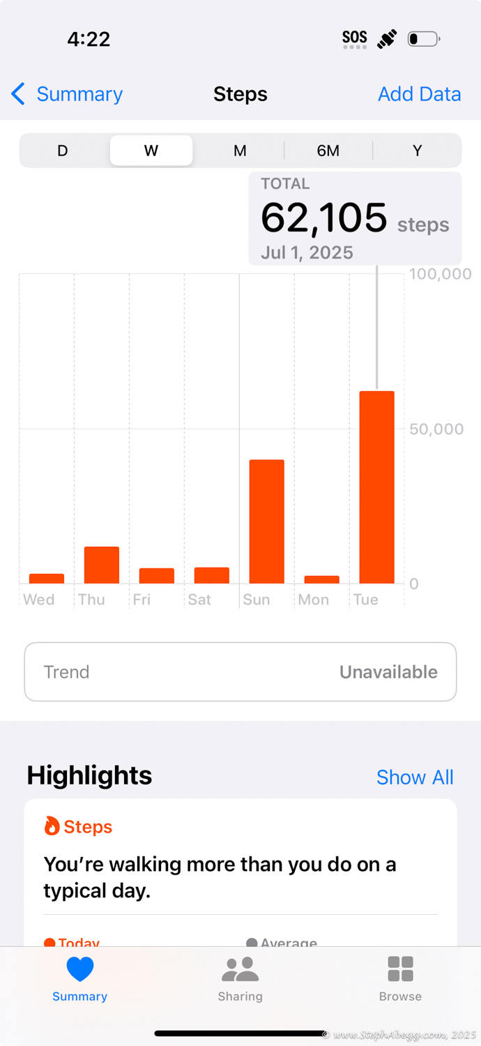
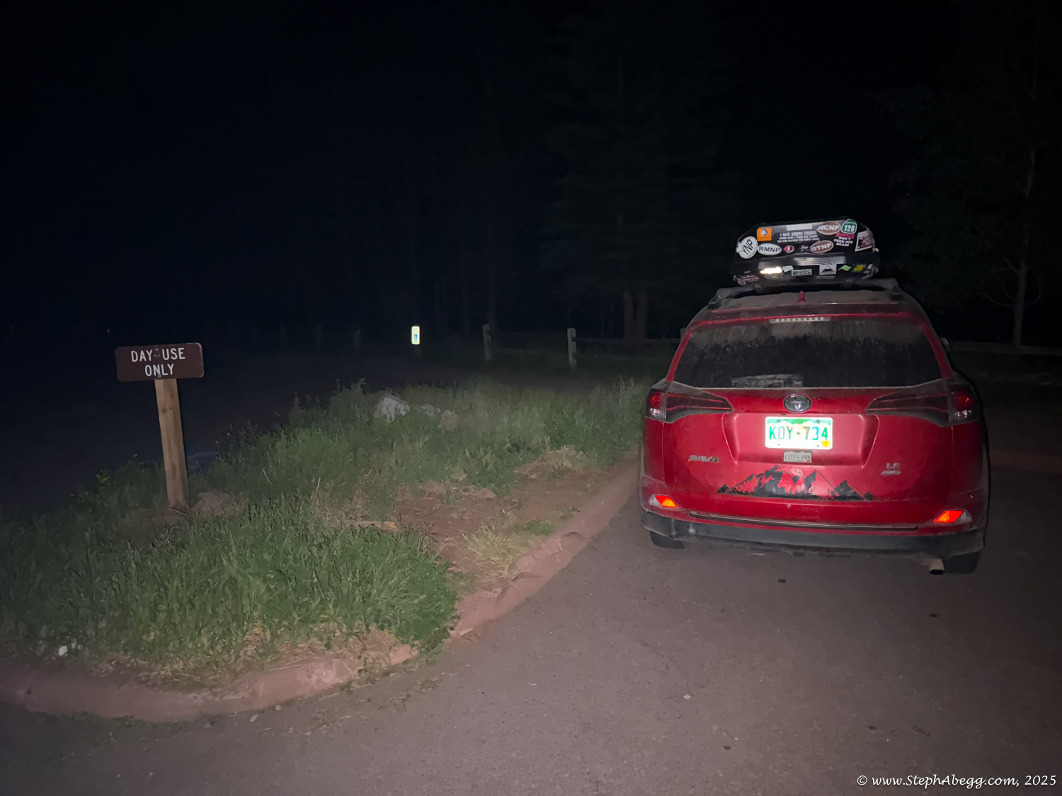
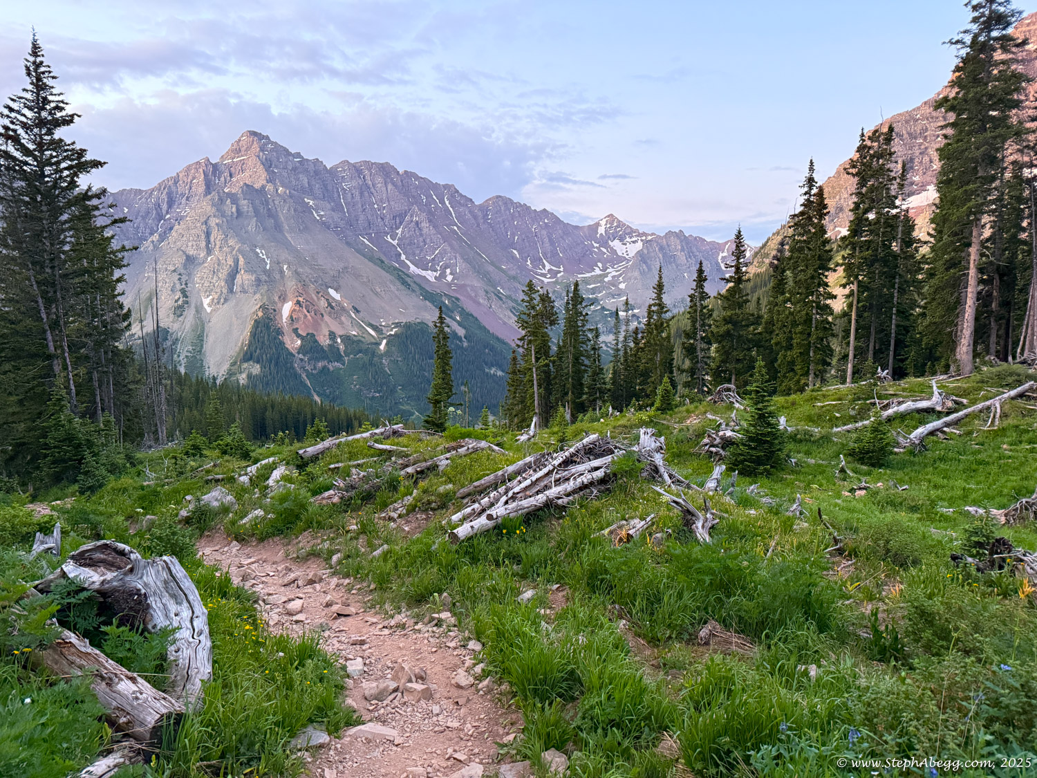
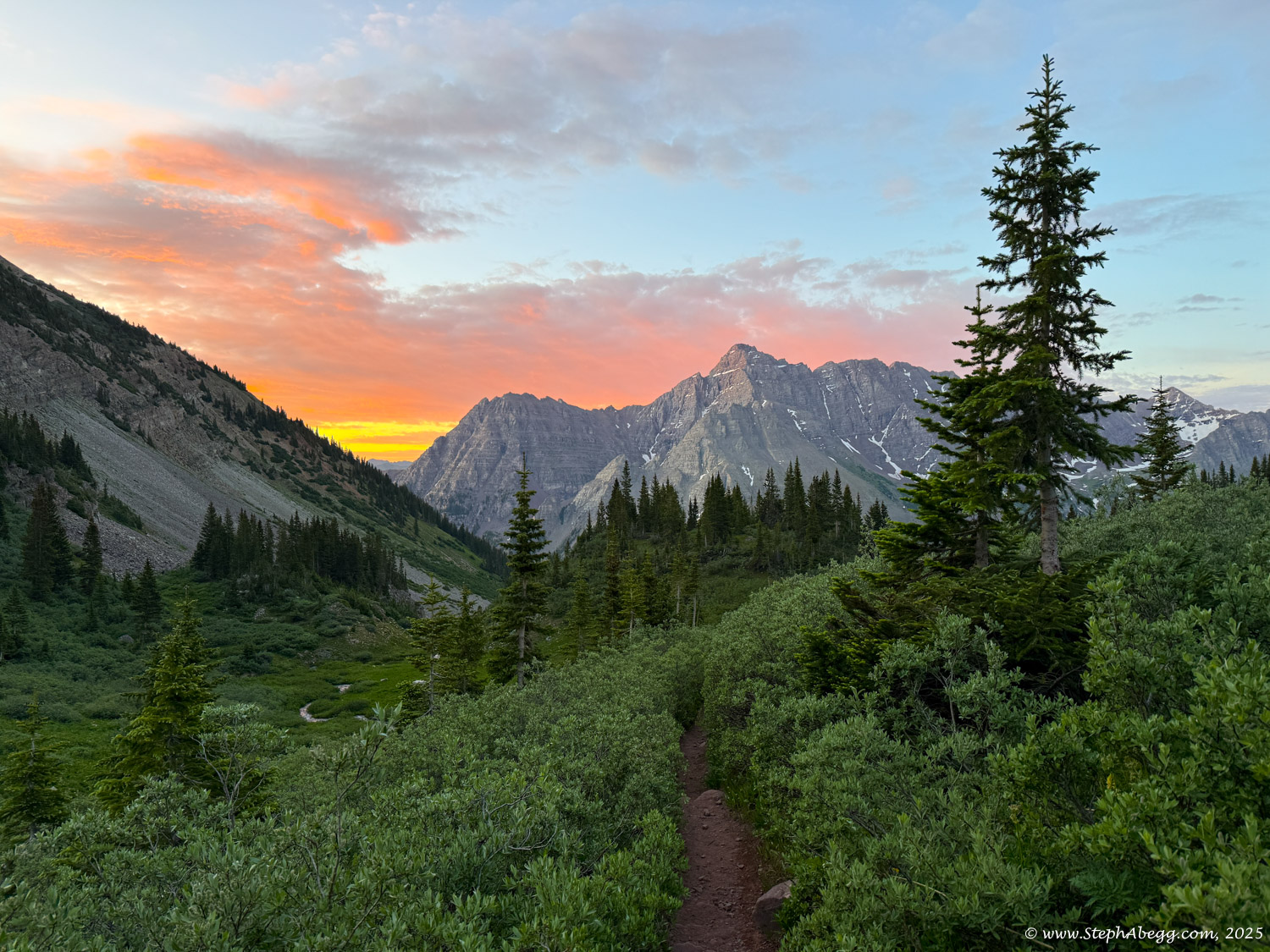
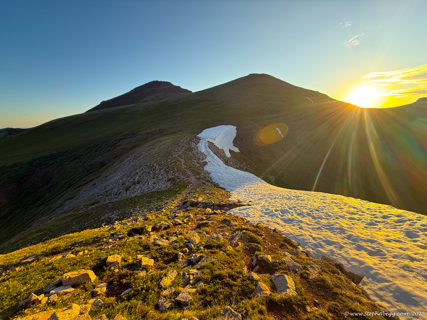
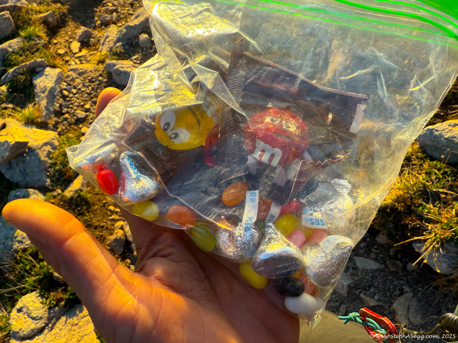
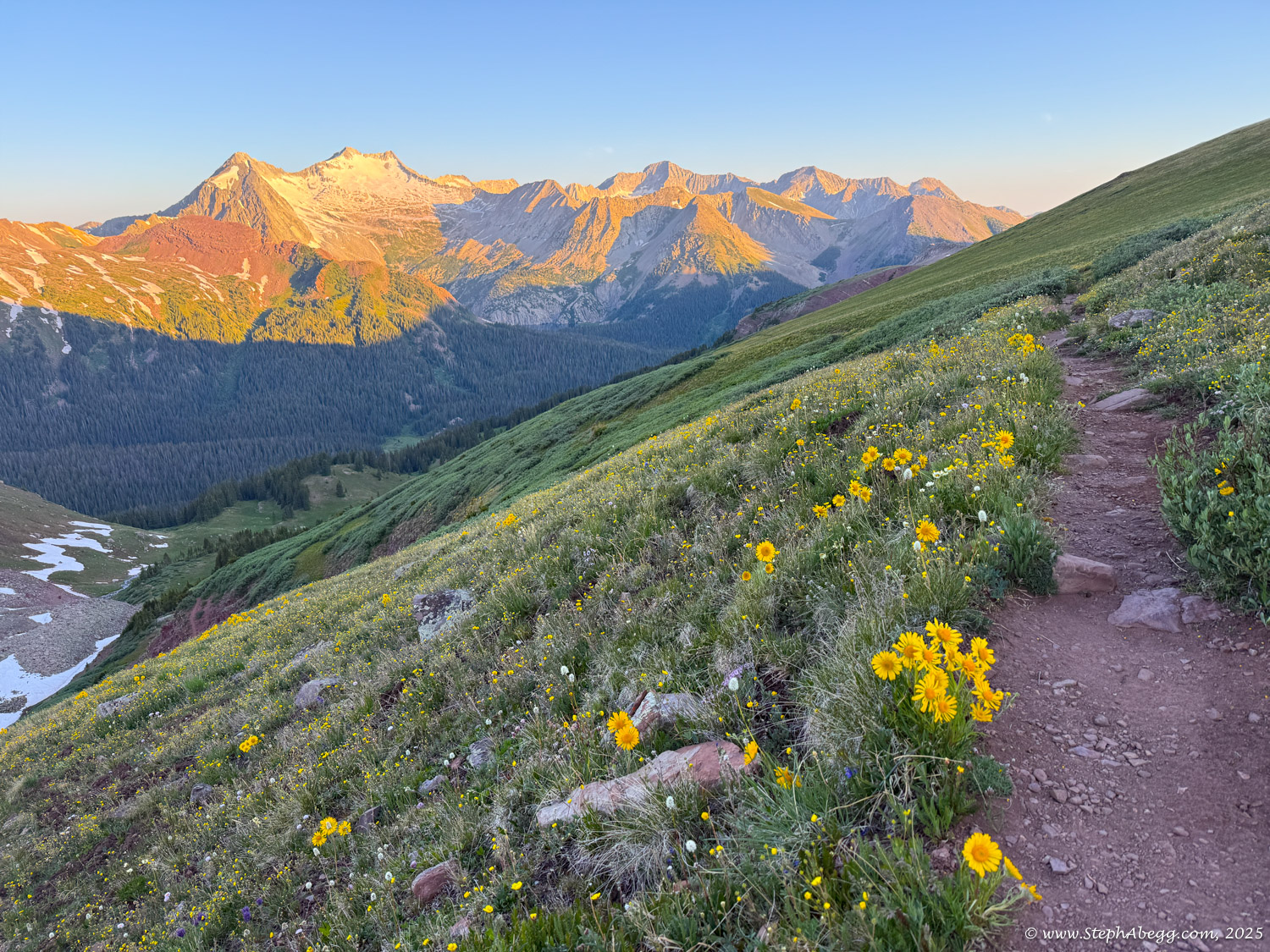
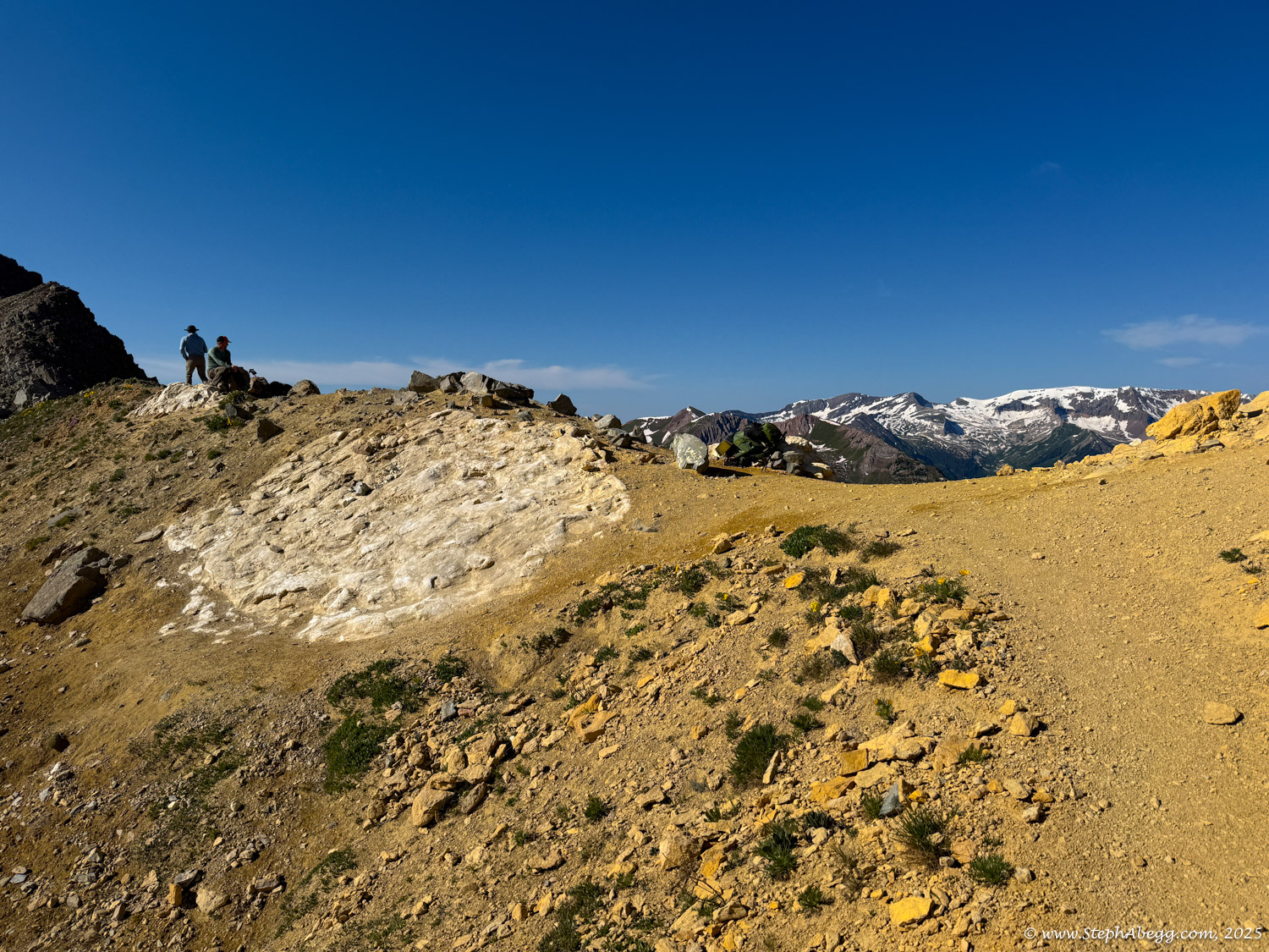
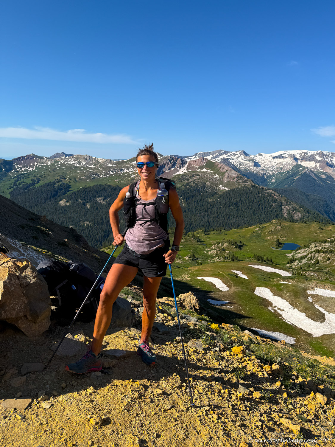
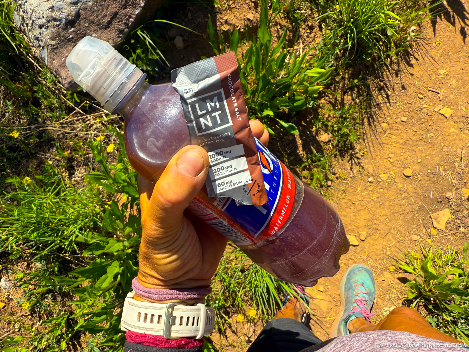
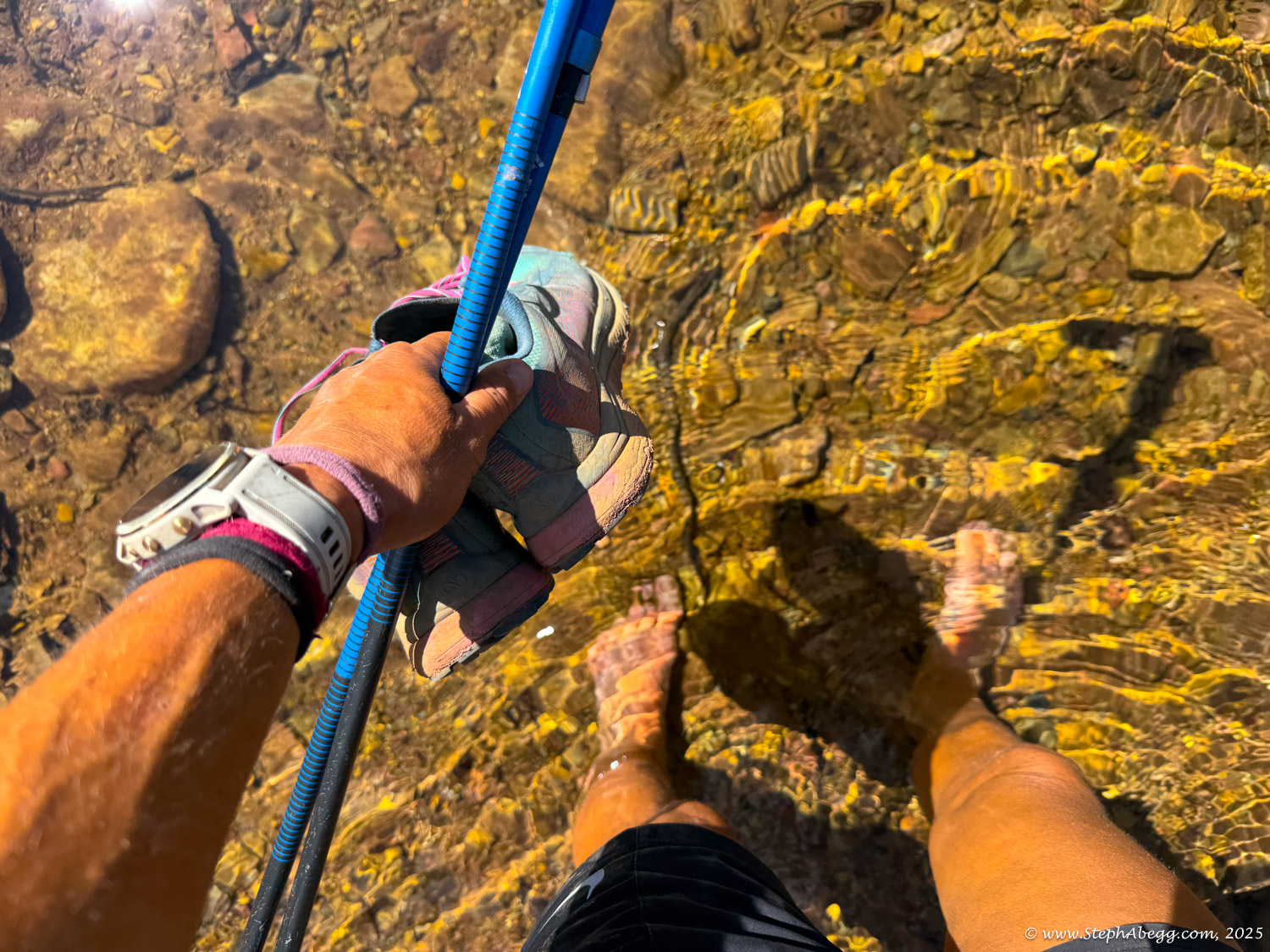
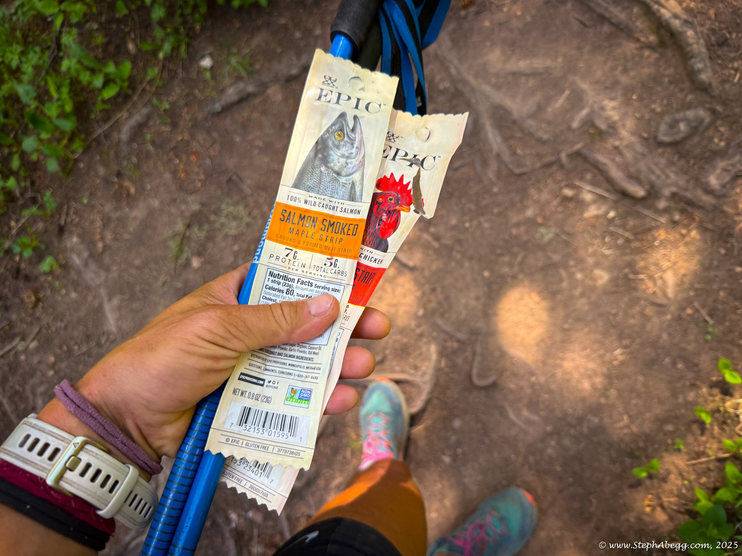
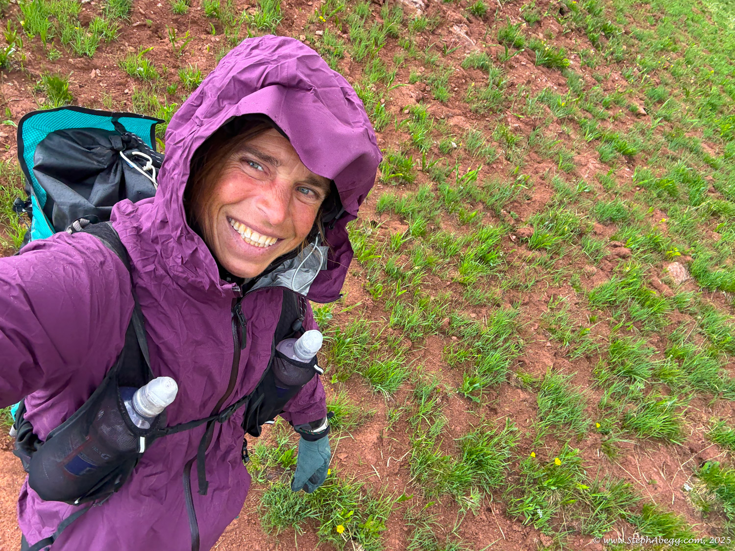
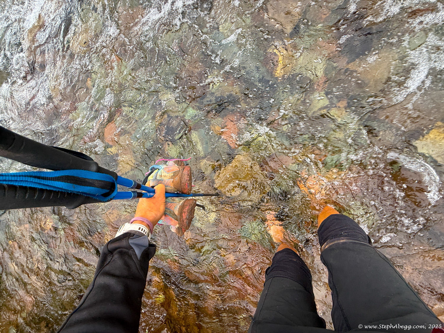
My goal was to hike—not run—the entire 27 miles, and I estimated it would take me about 12 hours. I started at 4 a.m., hoping to be above treeline by sunrise (around 5:45 a.m.). The hike unfolded just as I’d hoped. I only sat down three times—to take off and put on my shoes at stream crossings. I made a handful of quick stops to adjust layers, refill water, grab snacks, and take photos. (I ended up with 245 photos and 3 videos—most of my stopped time was spent on photography.) My car-to-car time was 11 hours and 56 minutes, pretty close to my 12 hour estimate.
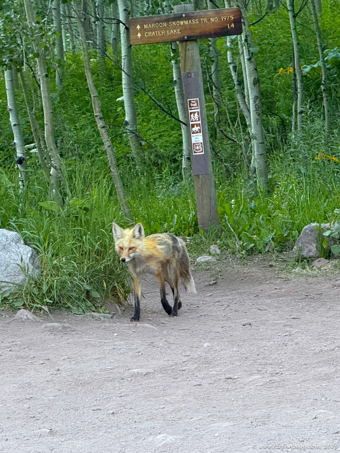
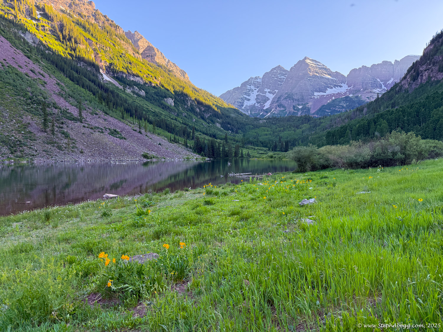
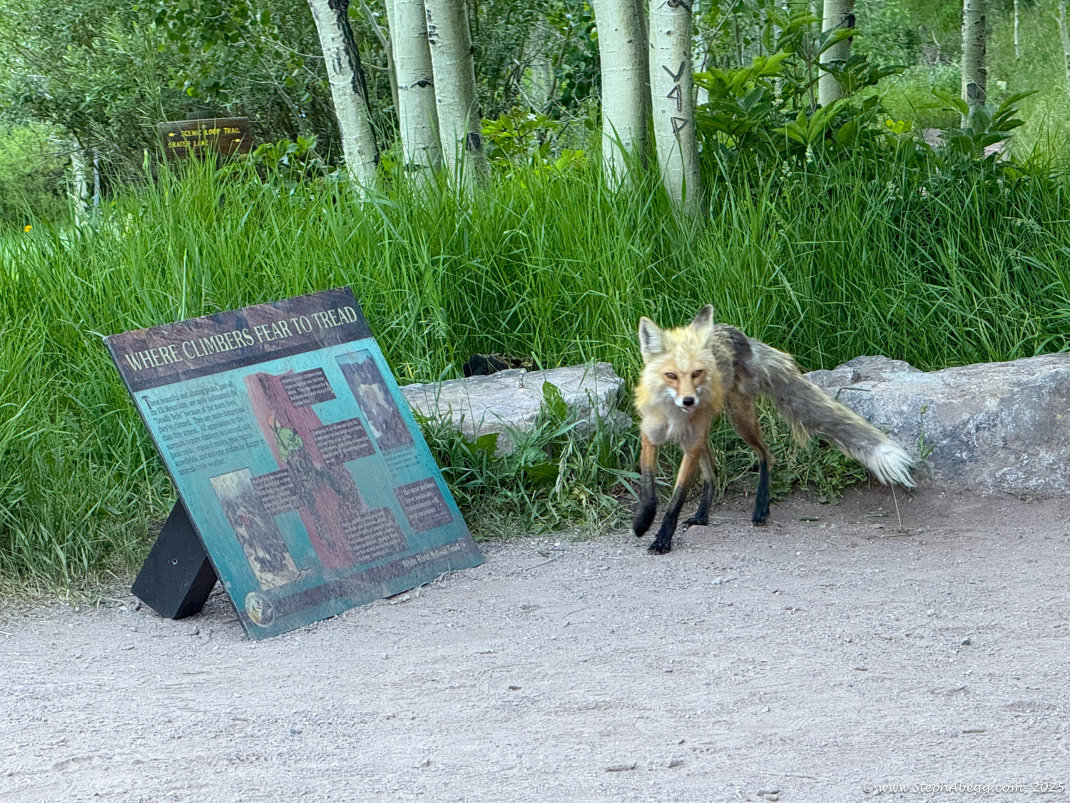
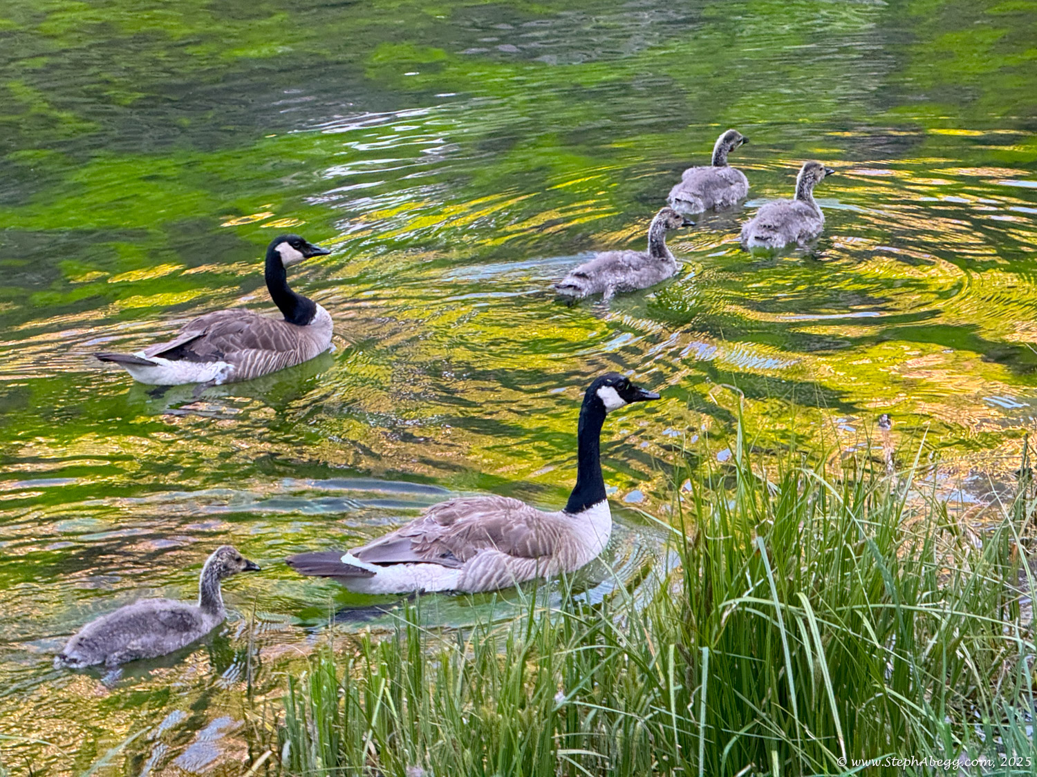
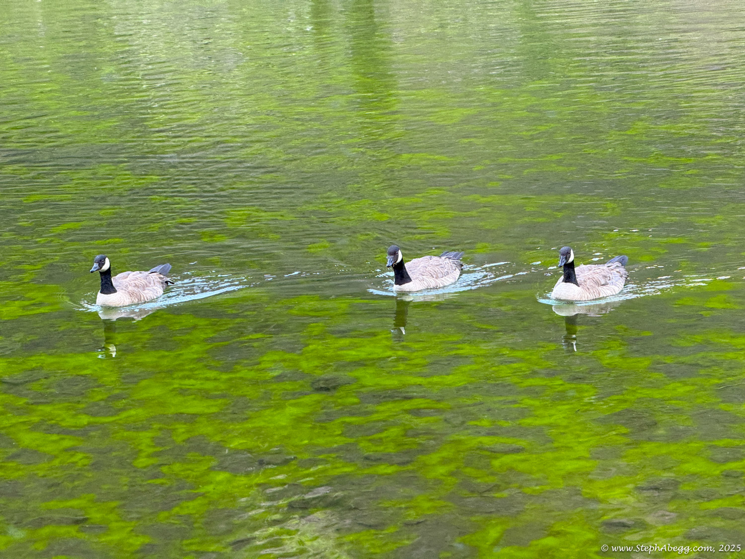
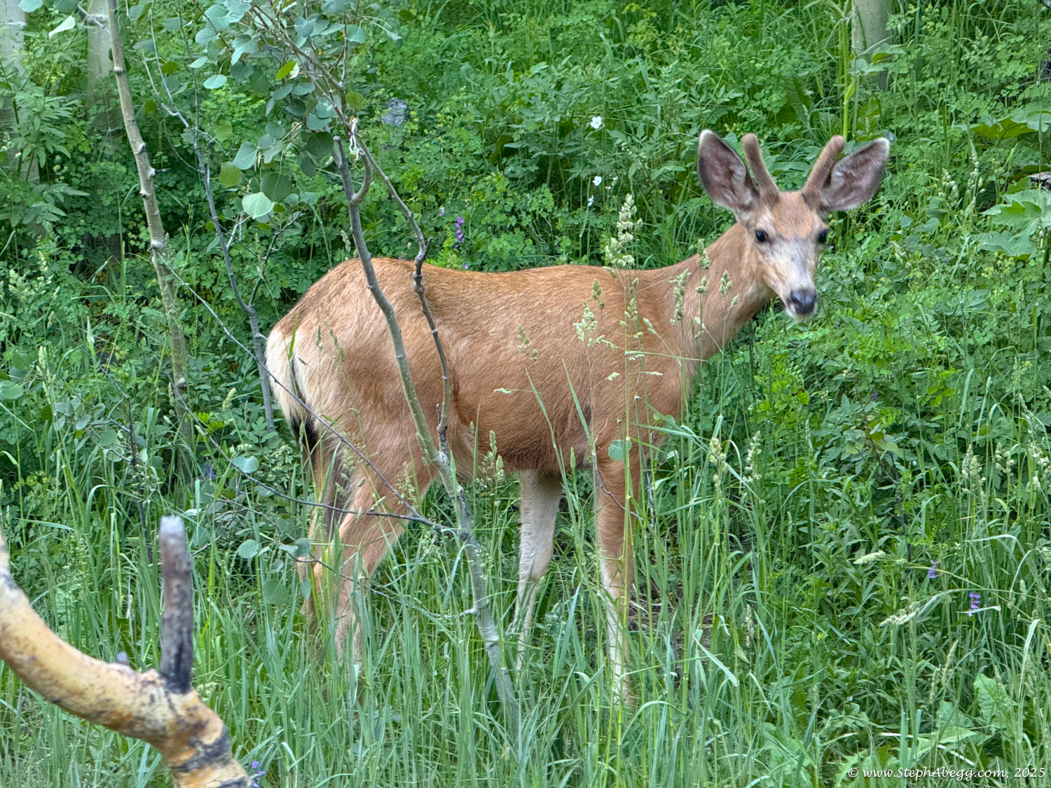
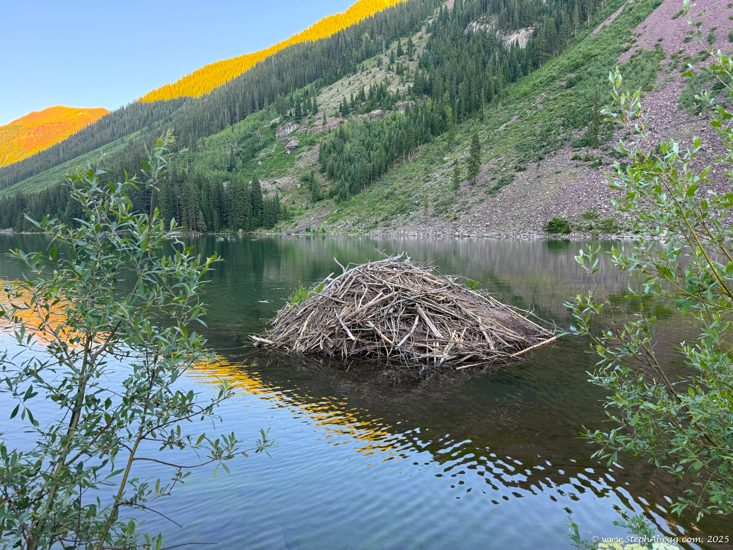
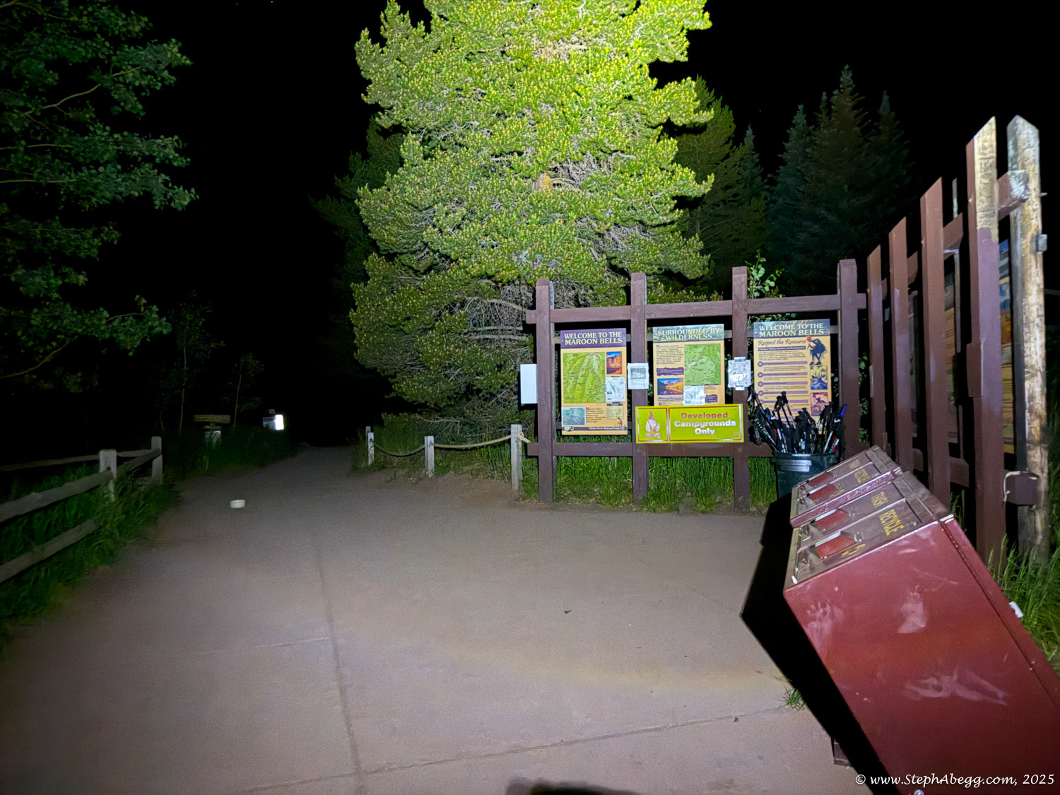
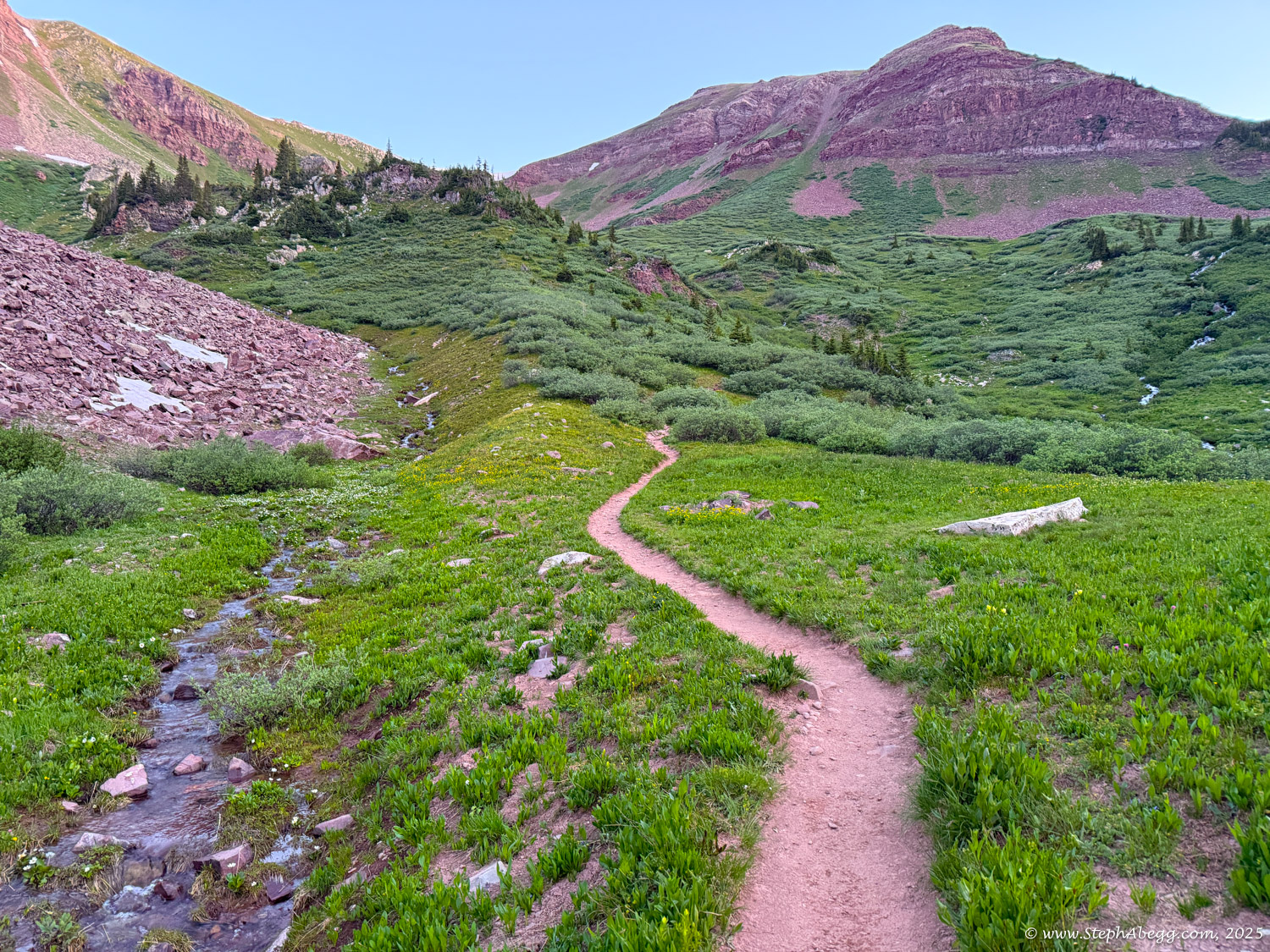
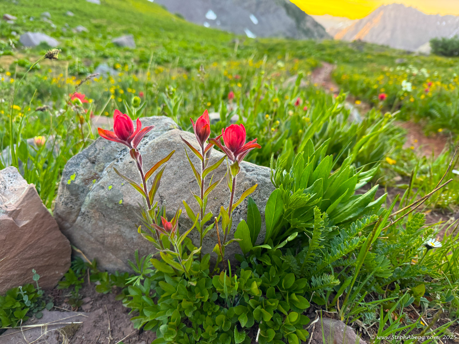
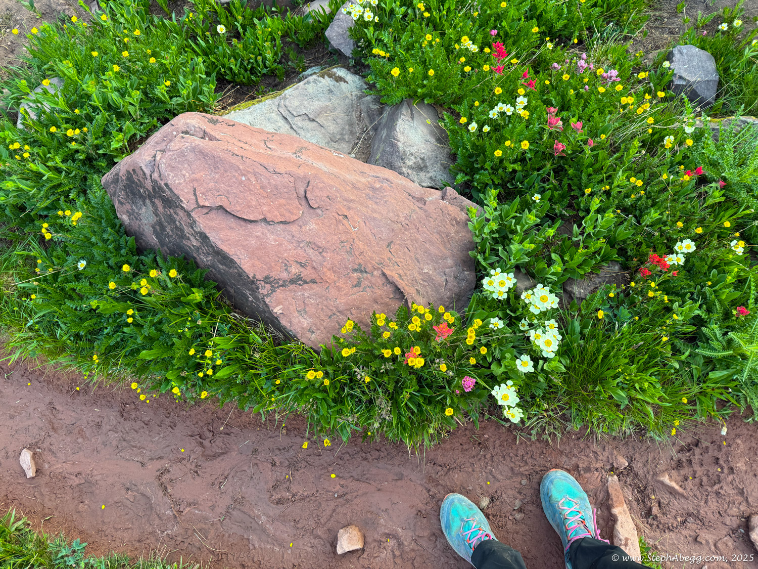
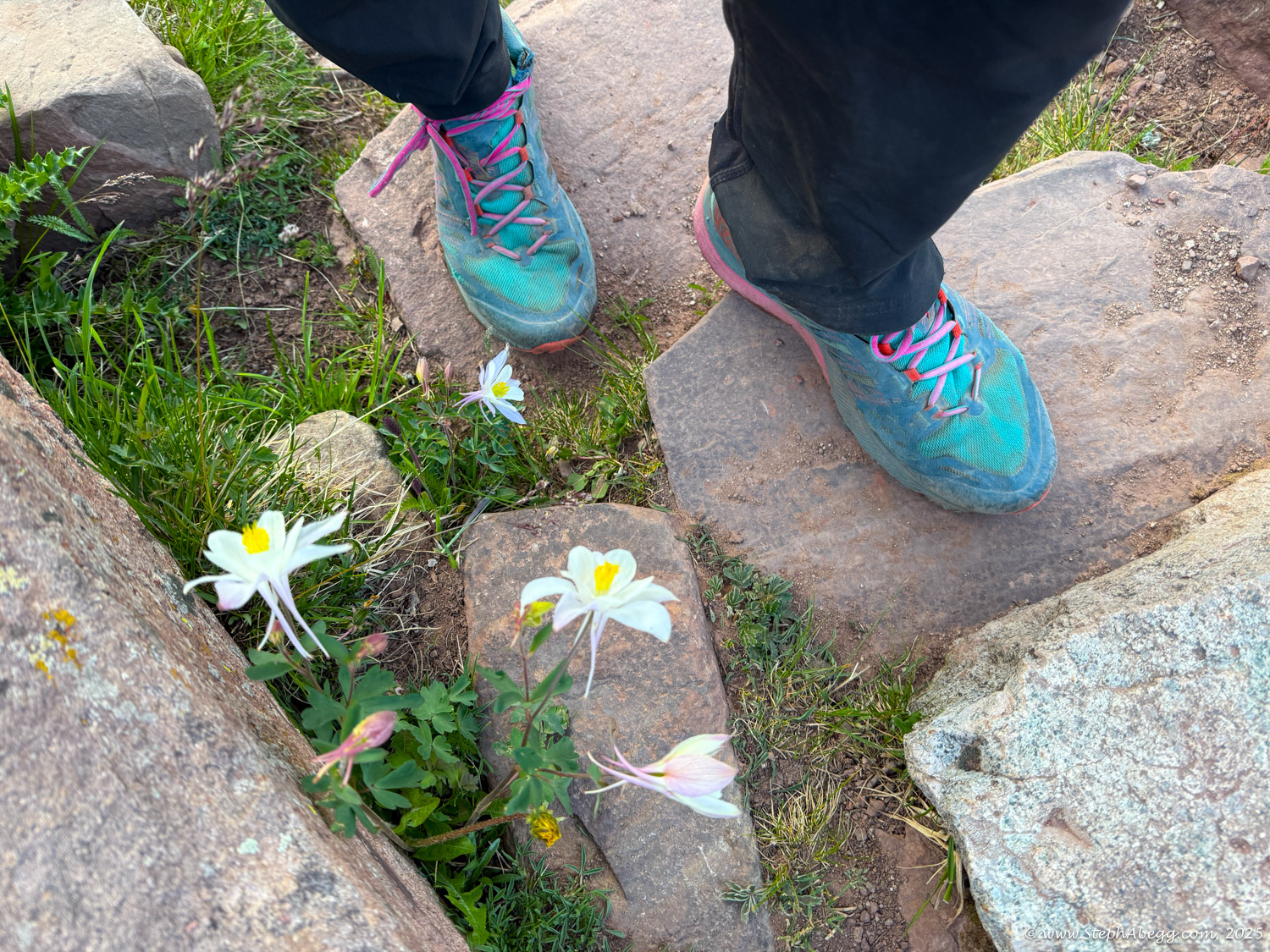
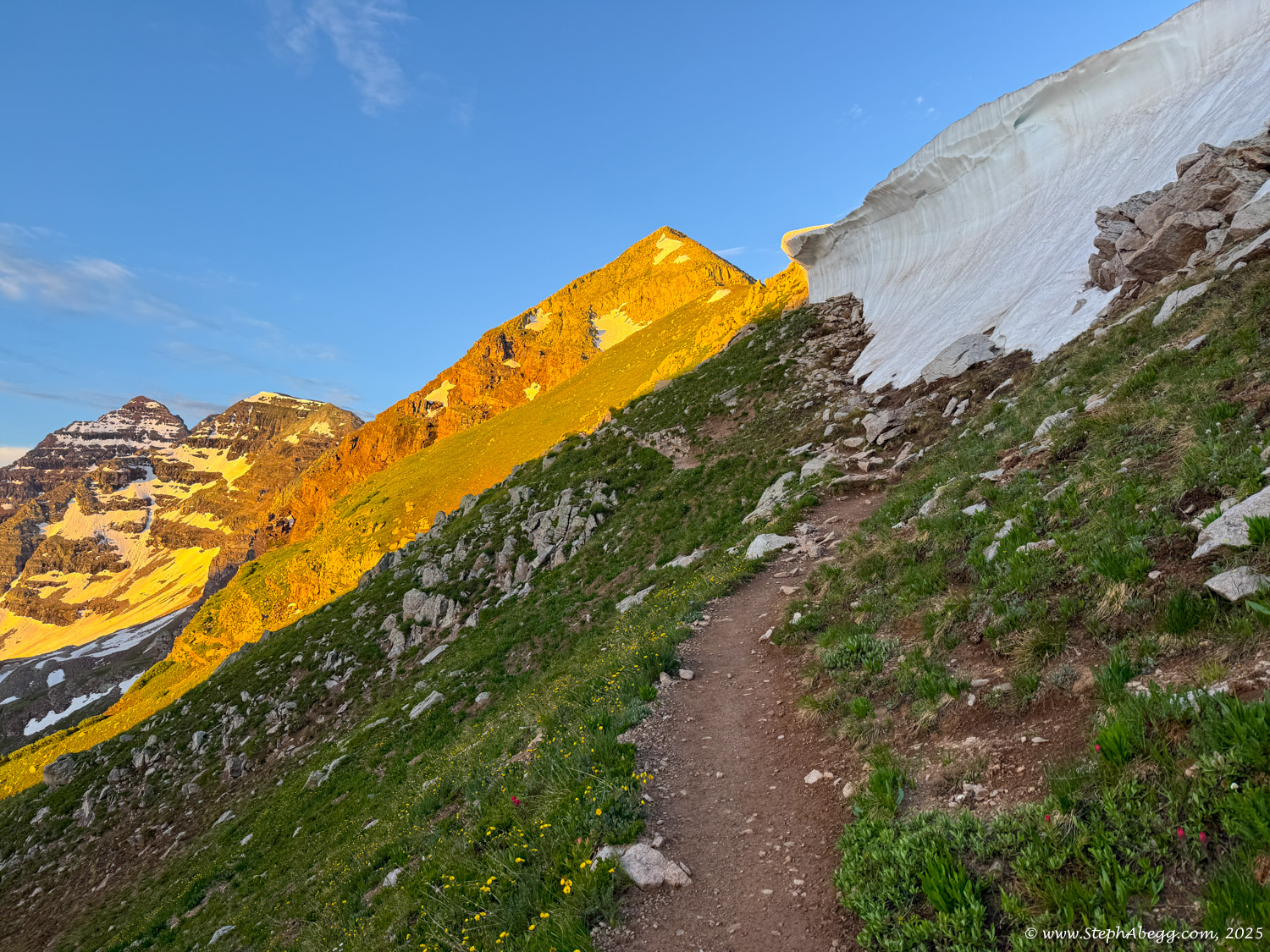
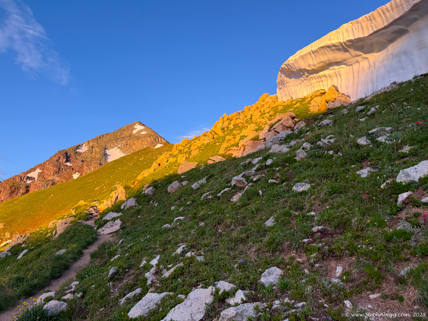
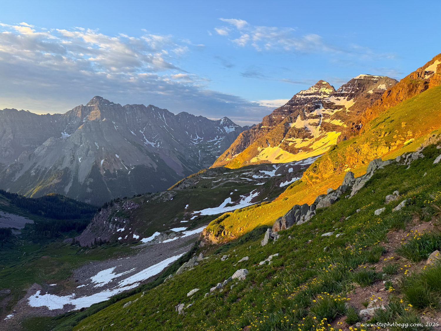
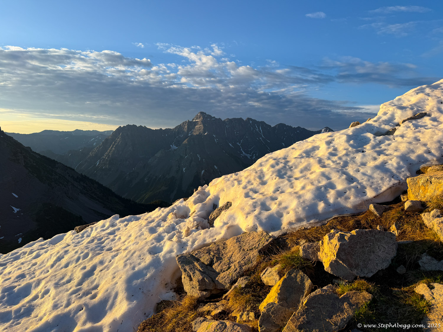
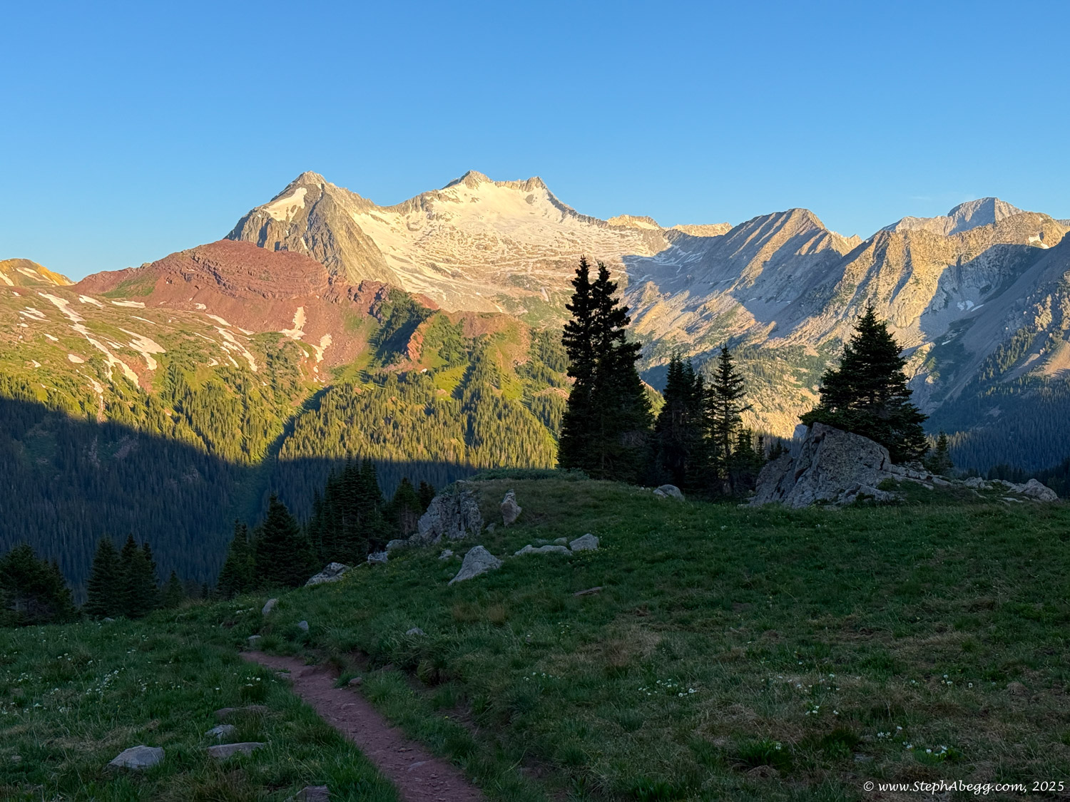
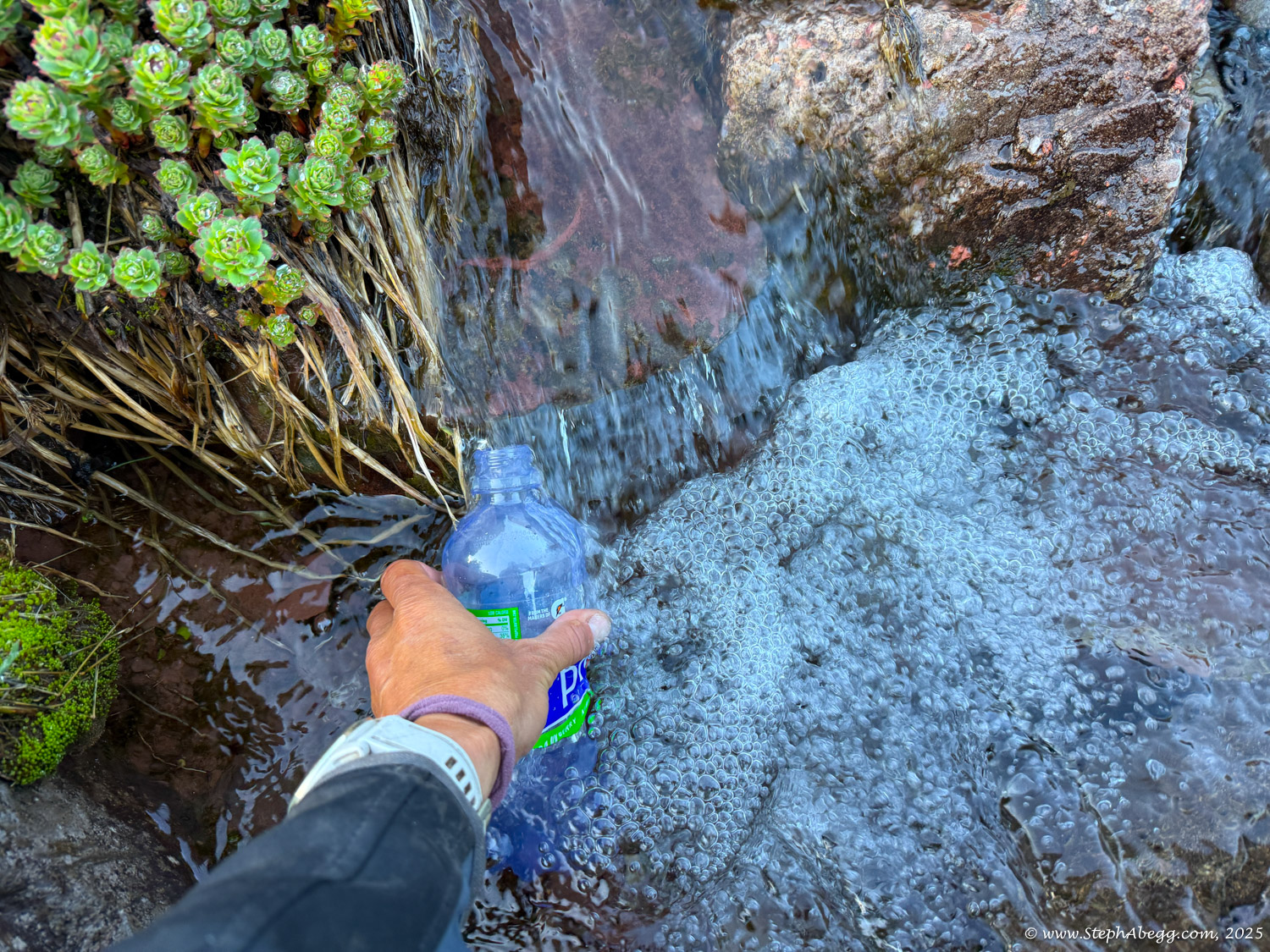
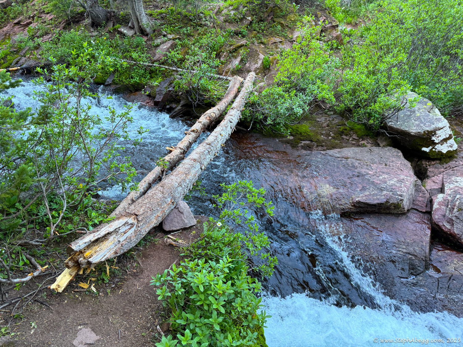
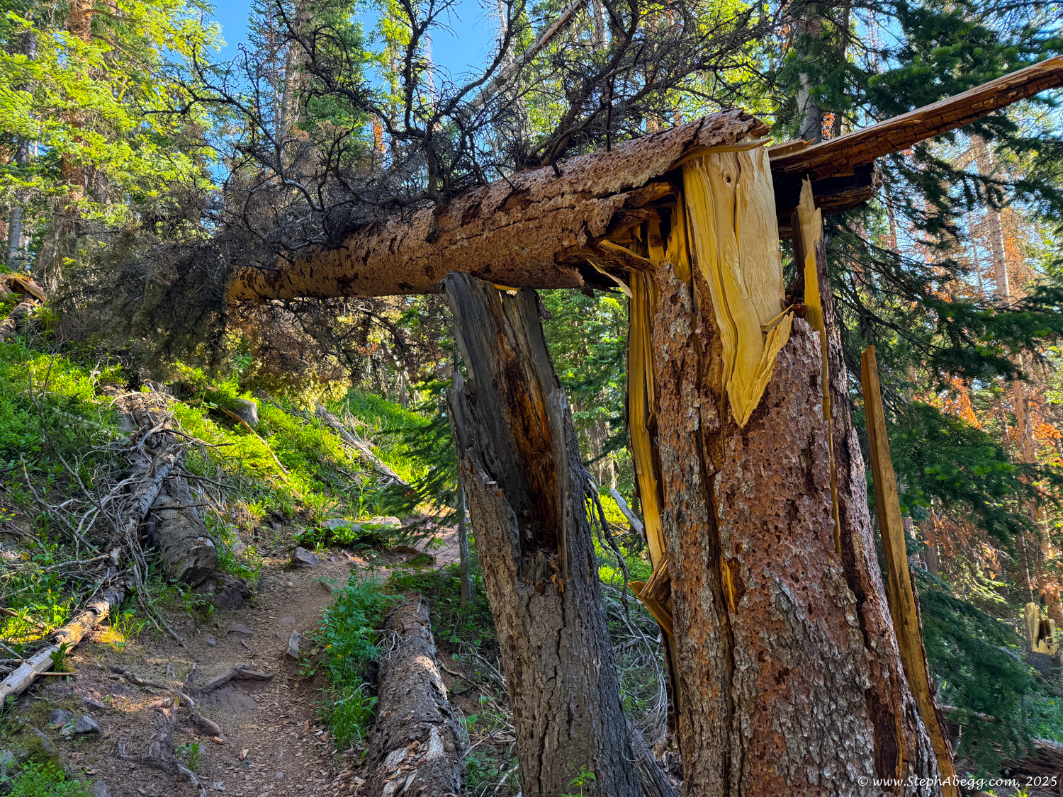
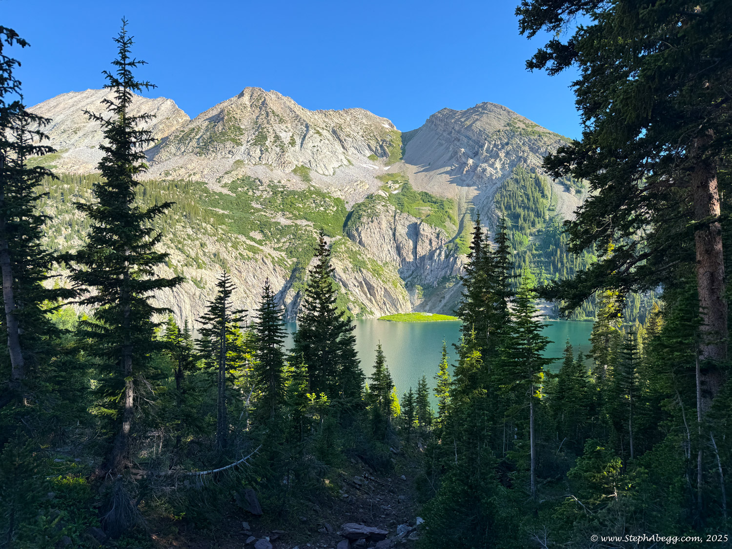
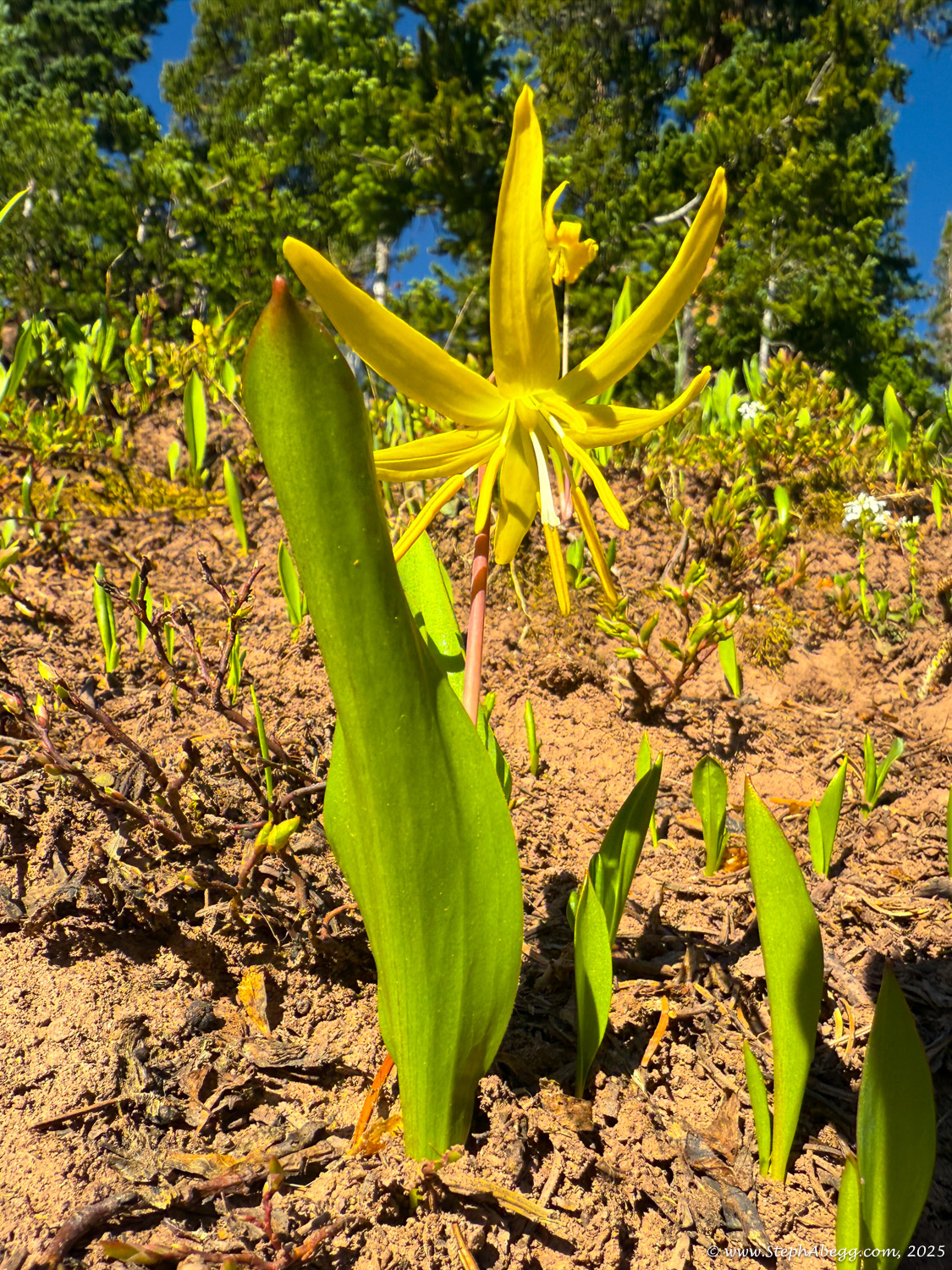
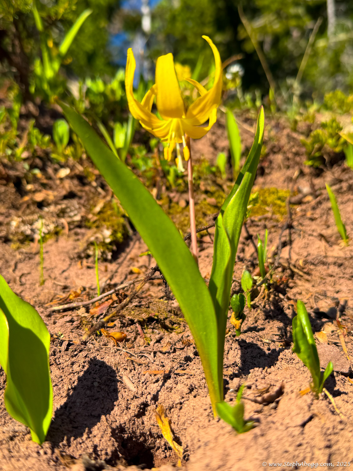
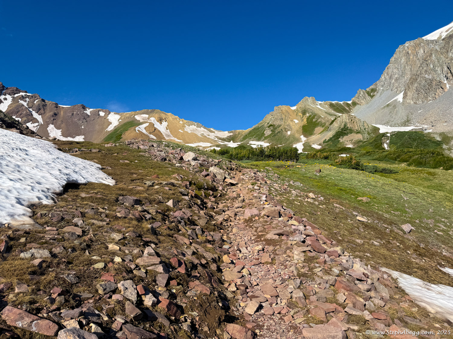
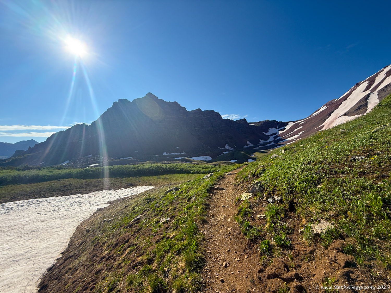
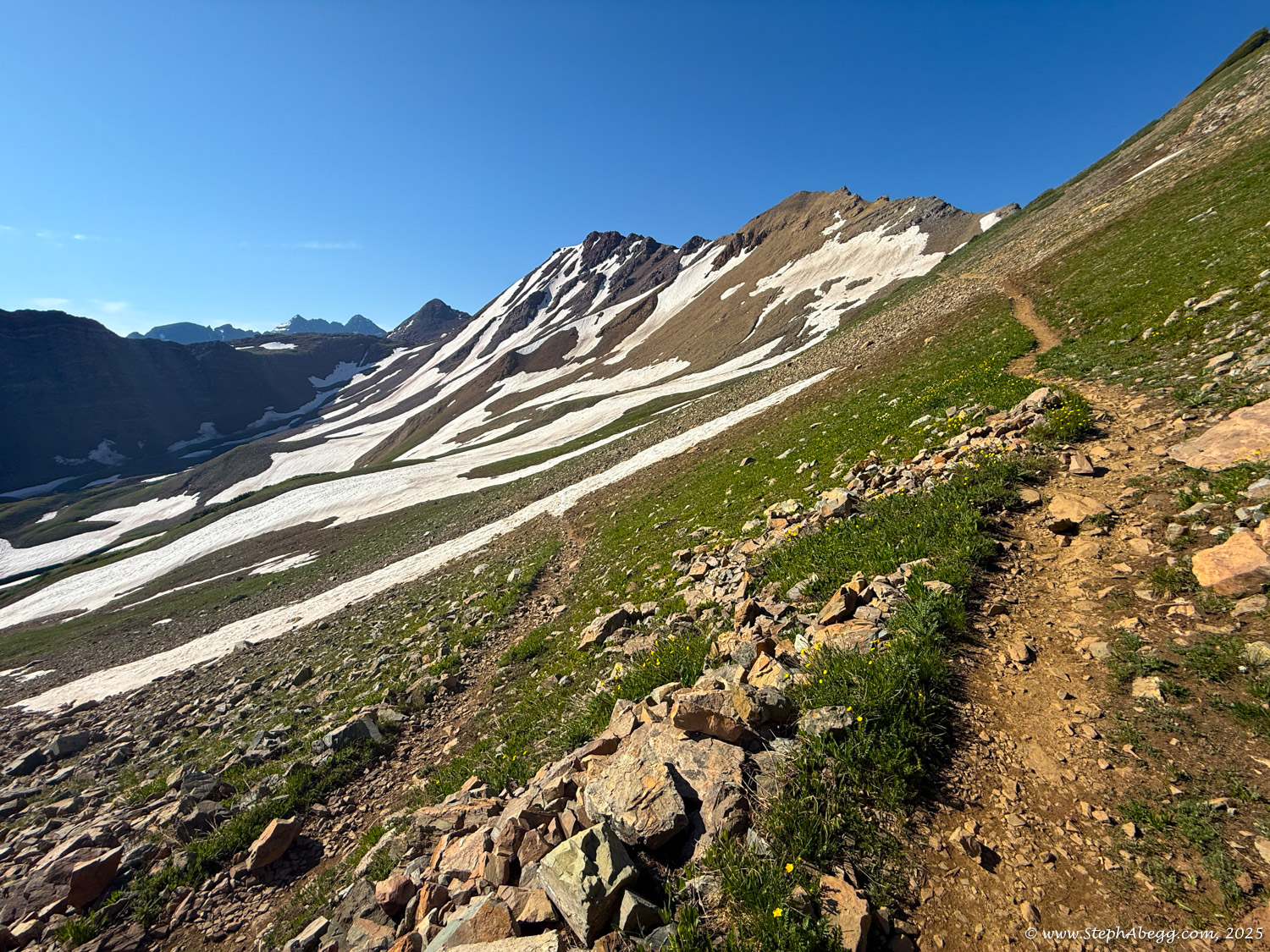
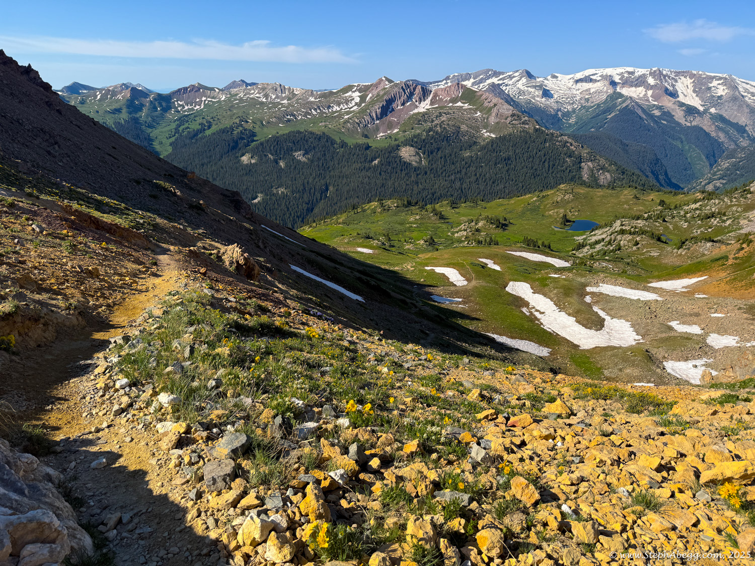
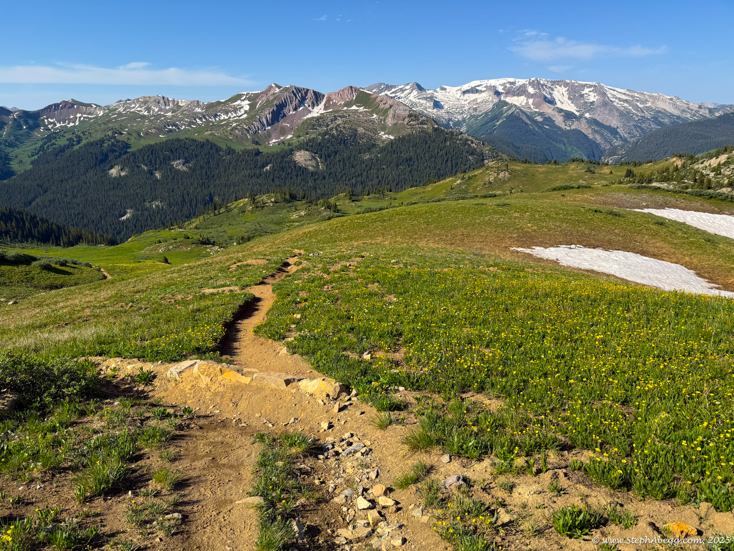
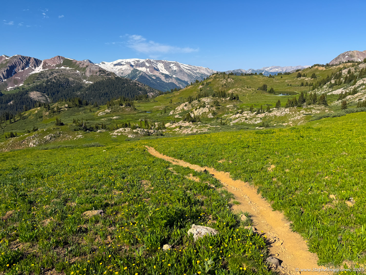
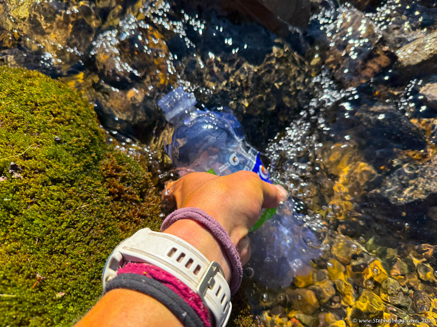
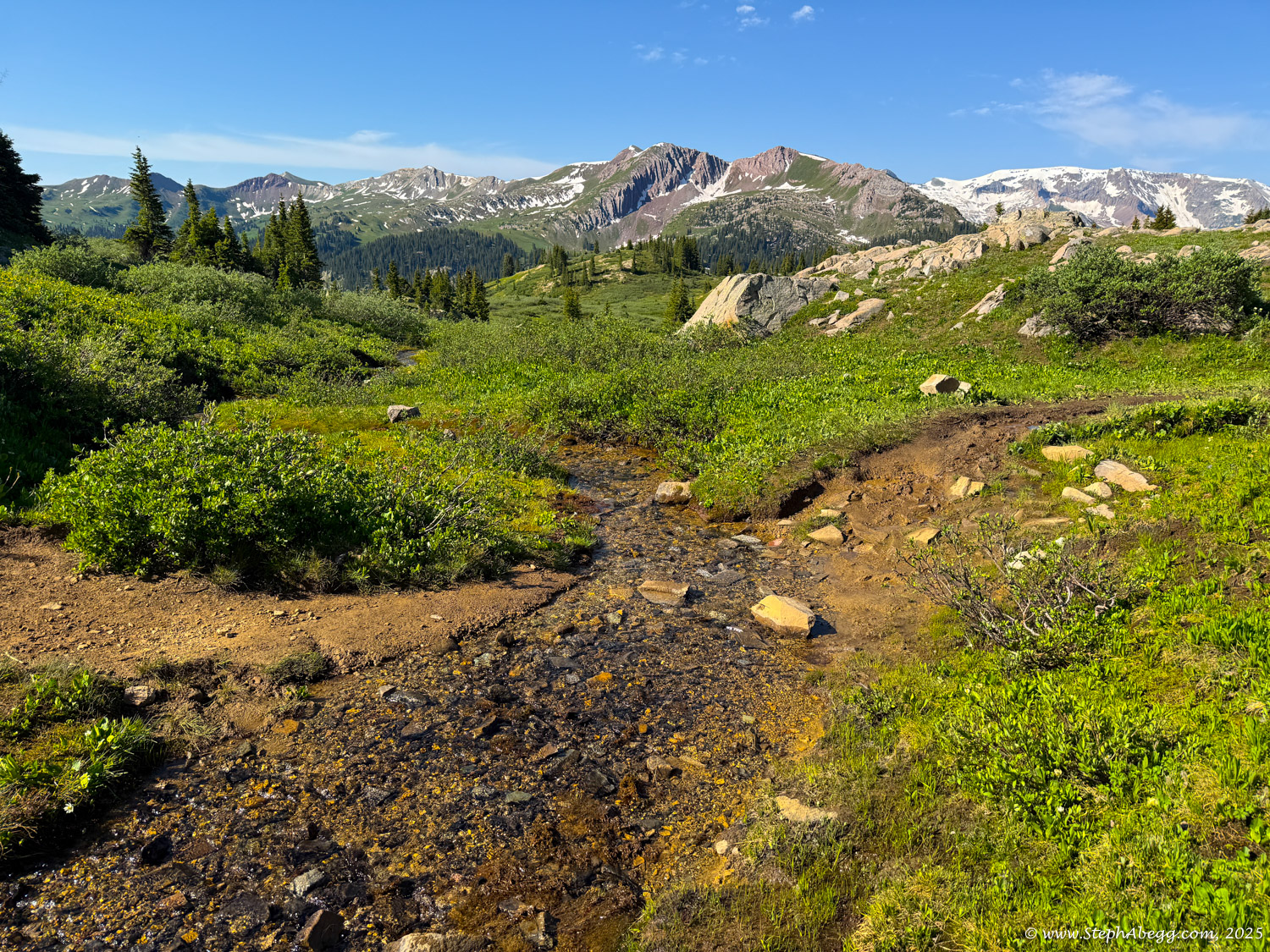
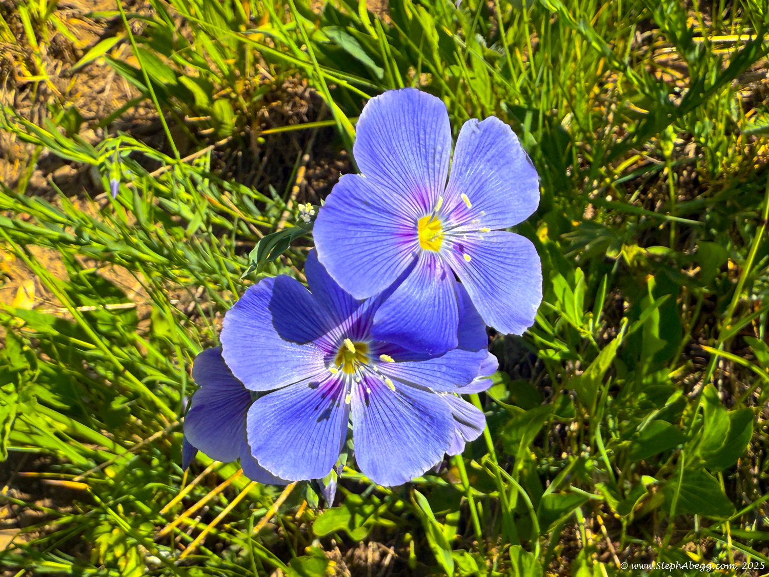
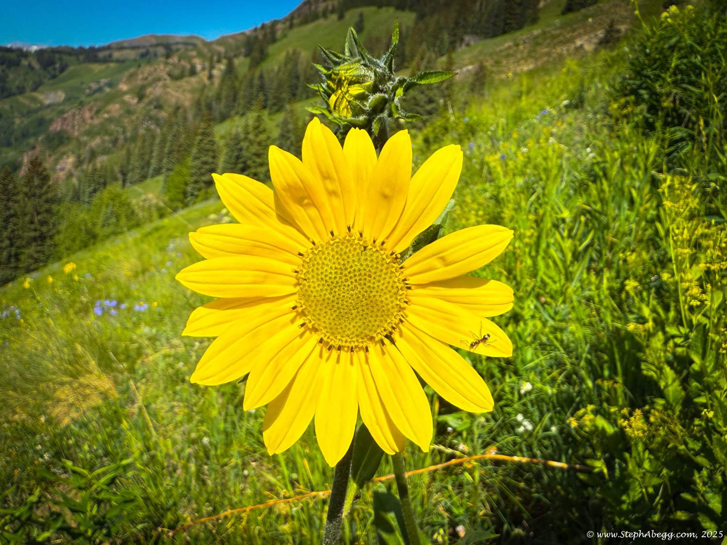
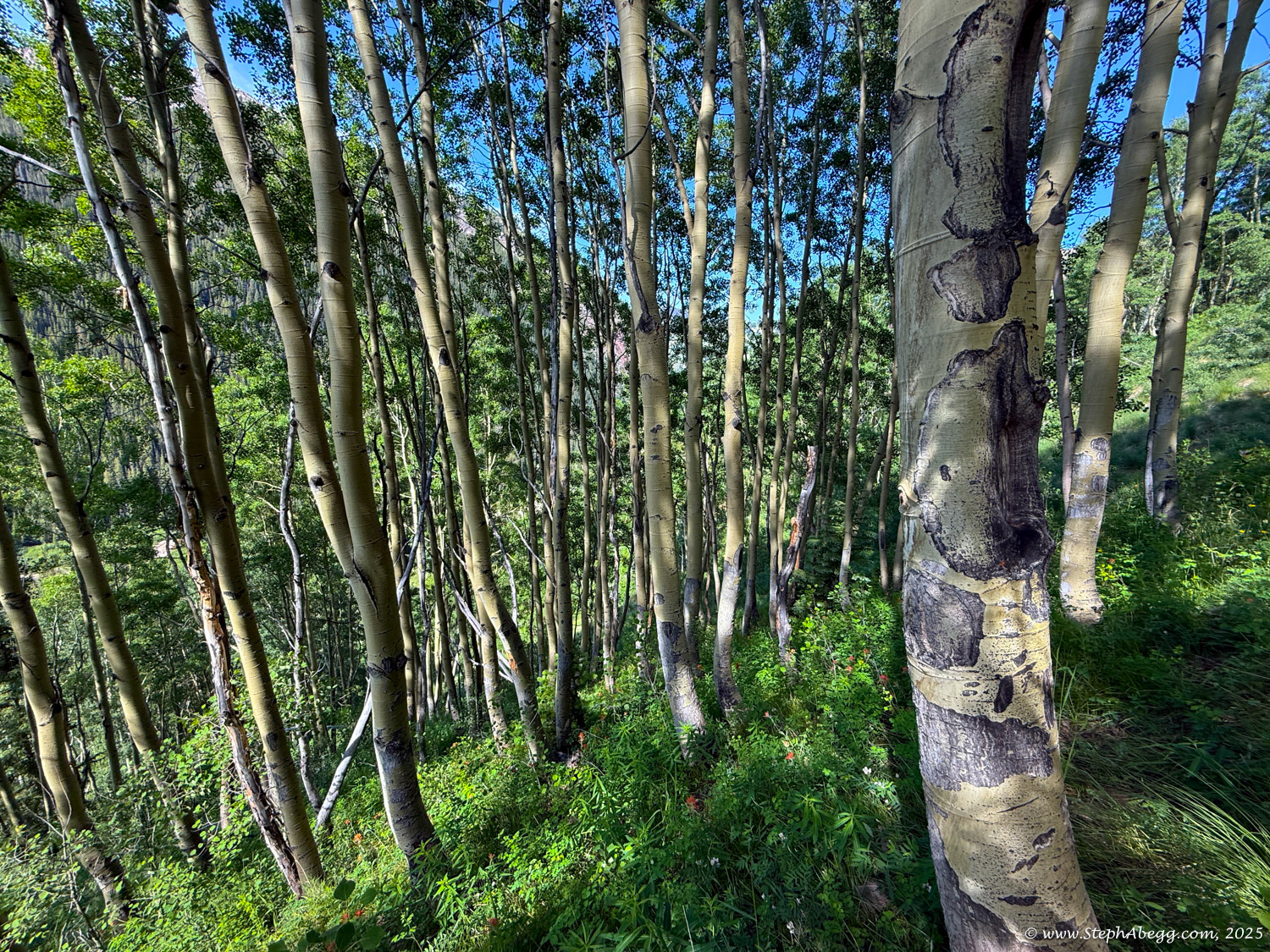
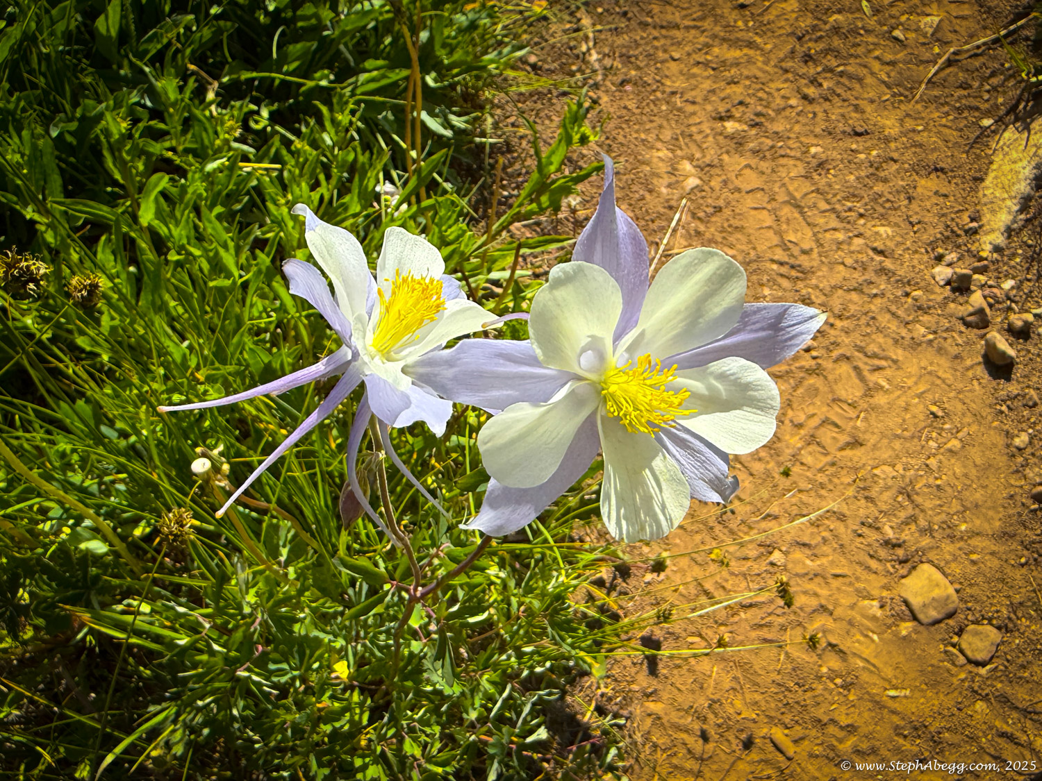
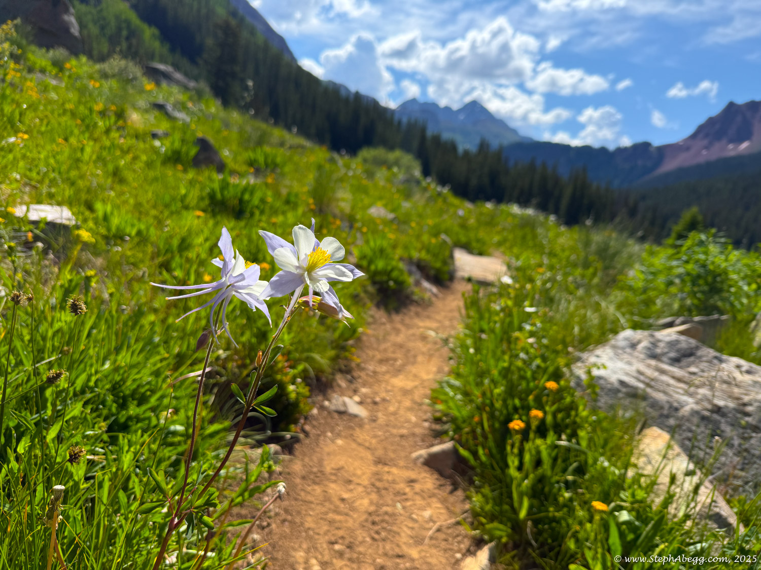
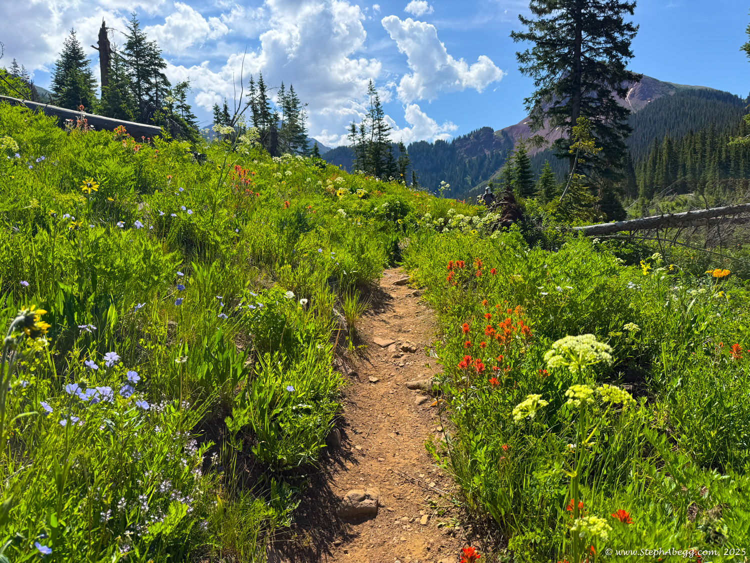
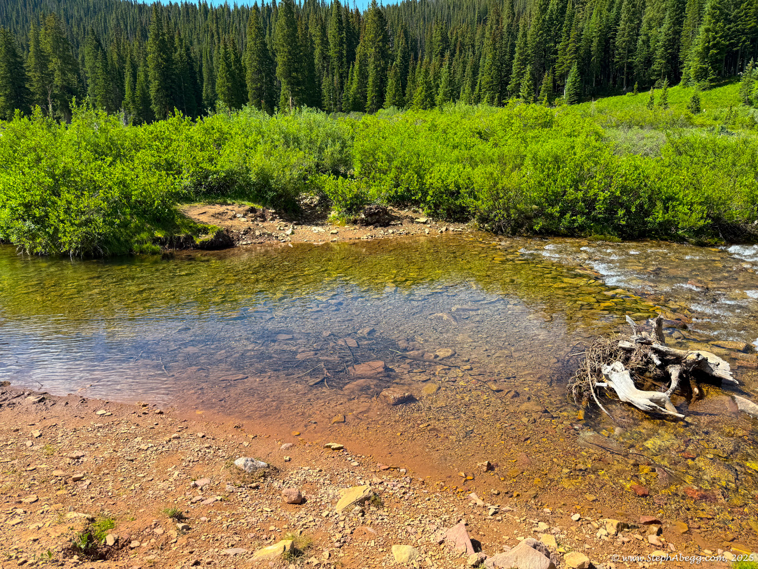
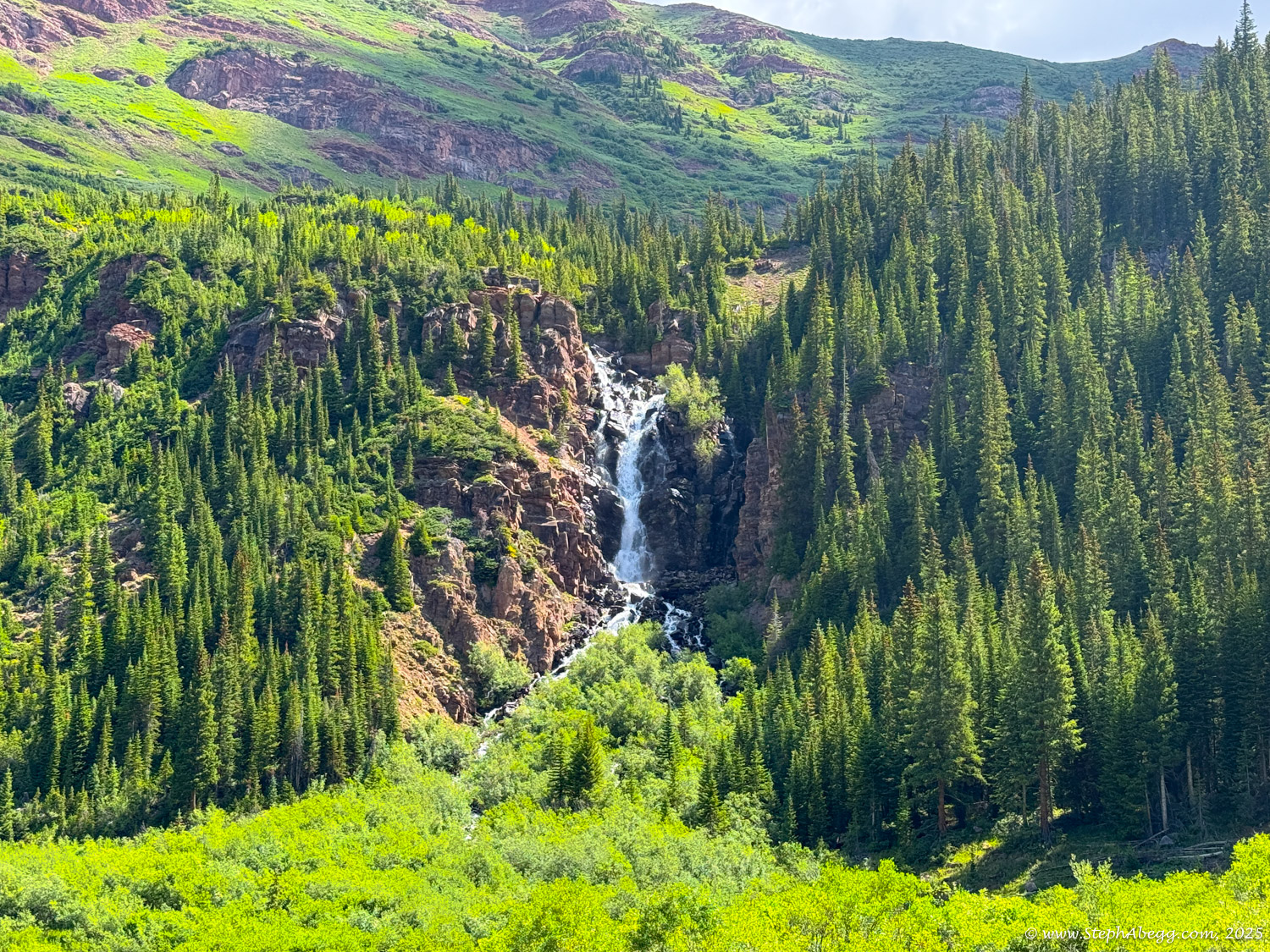
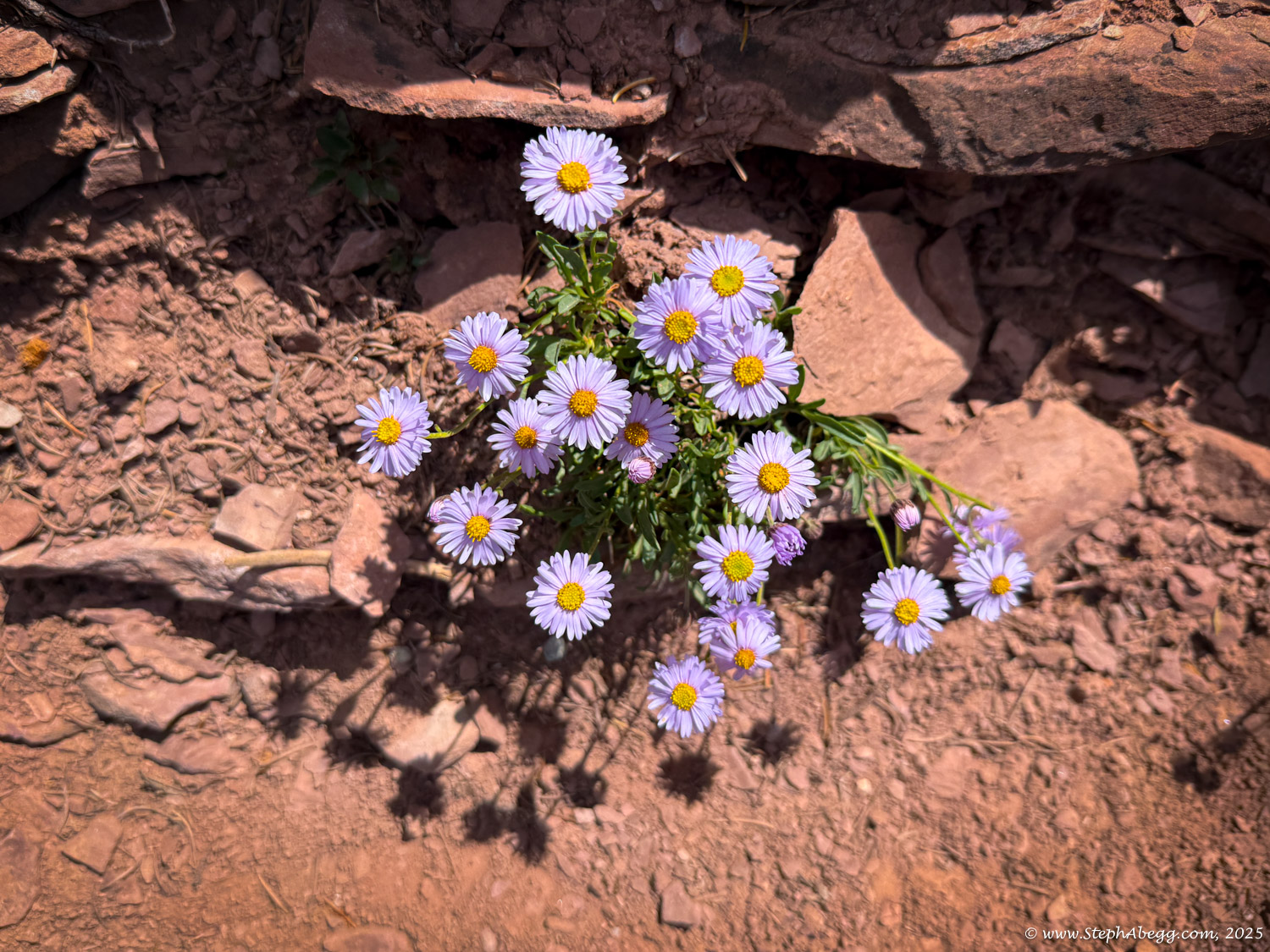
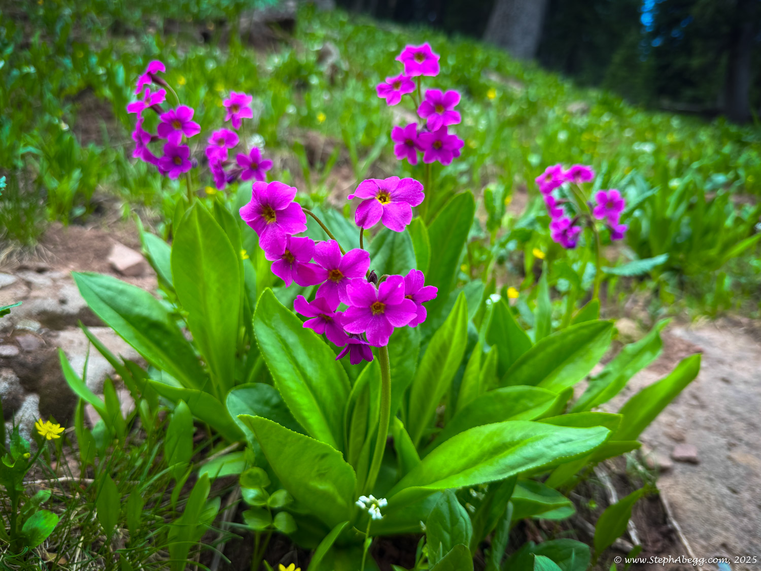
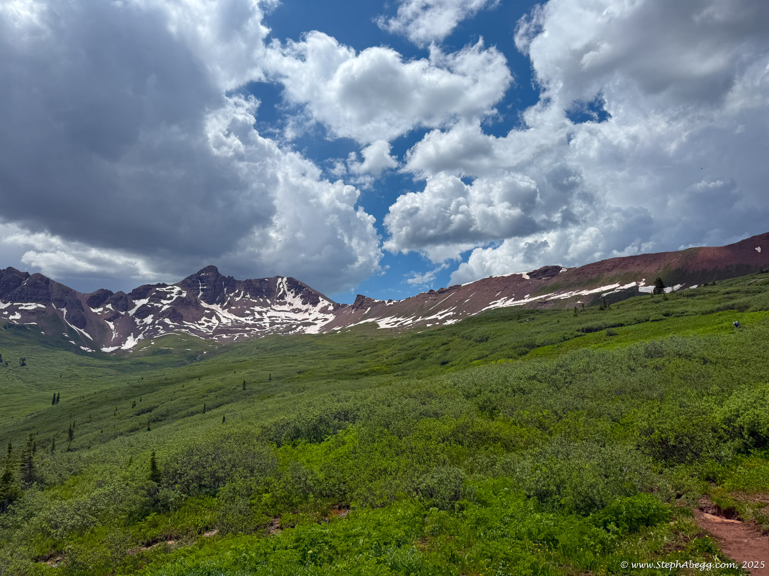
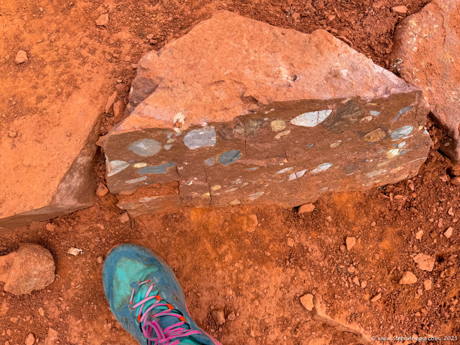
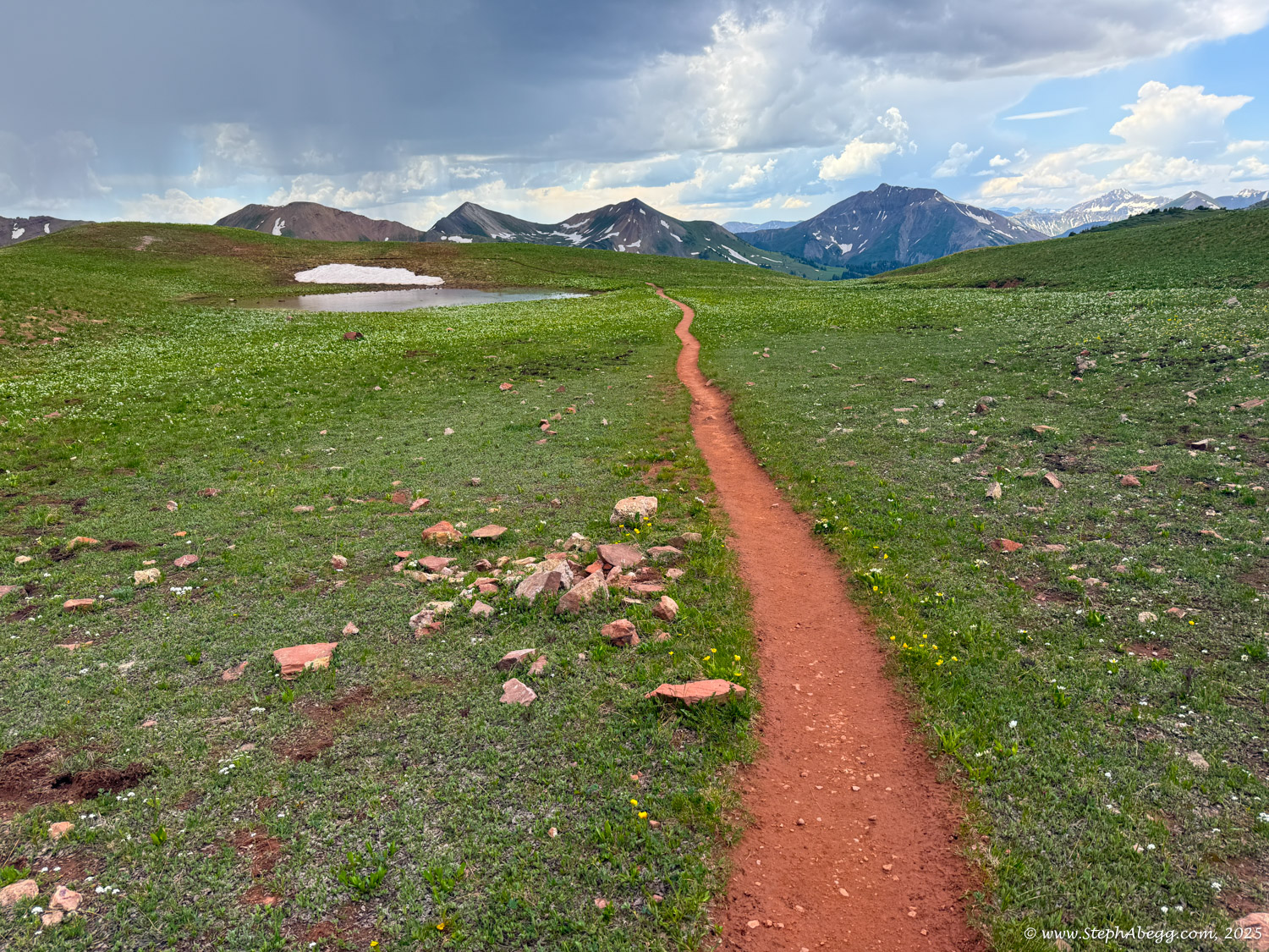
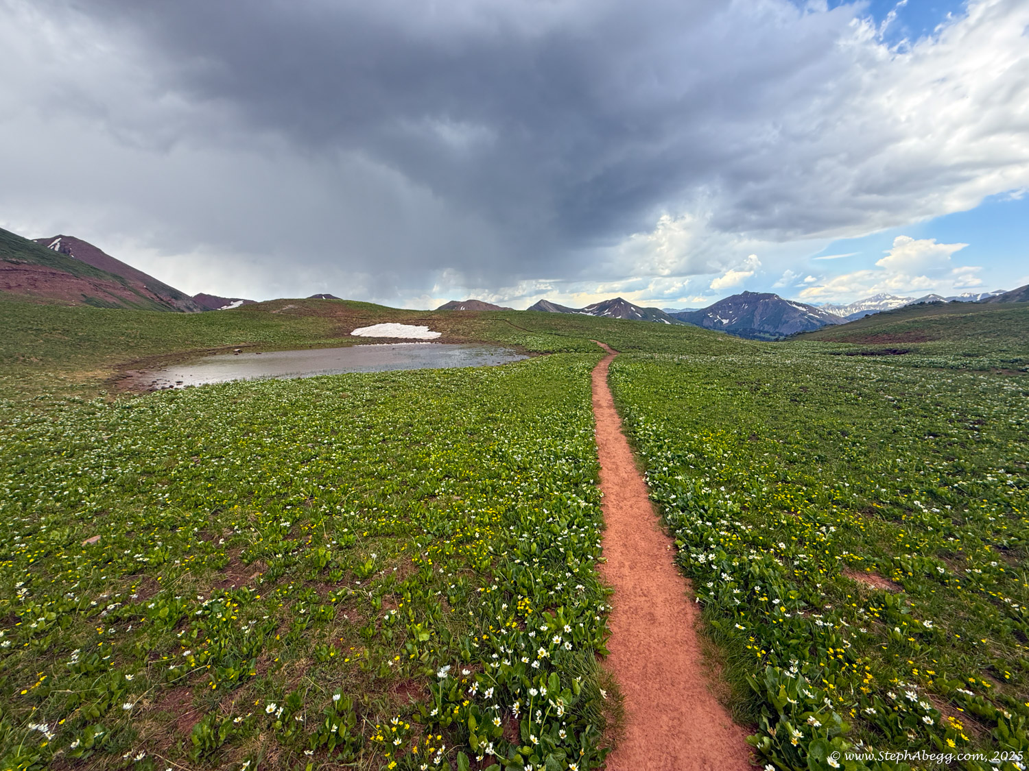
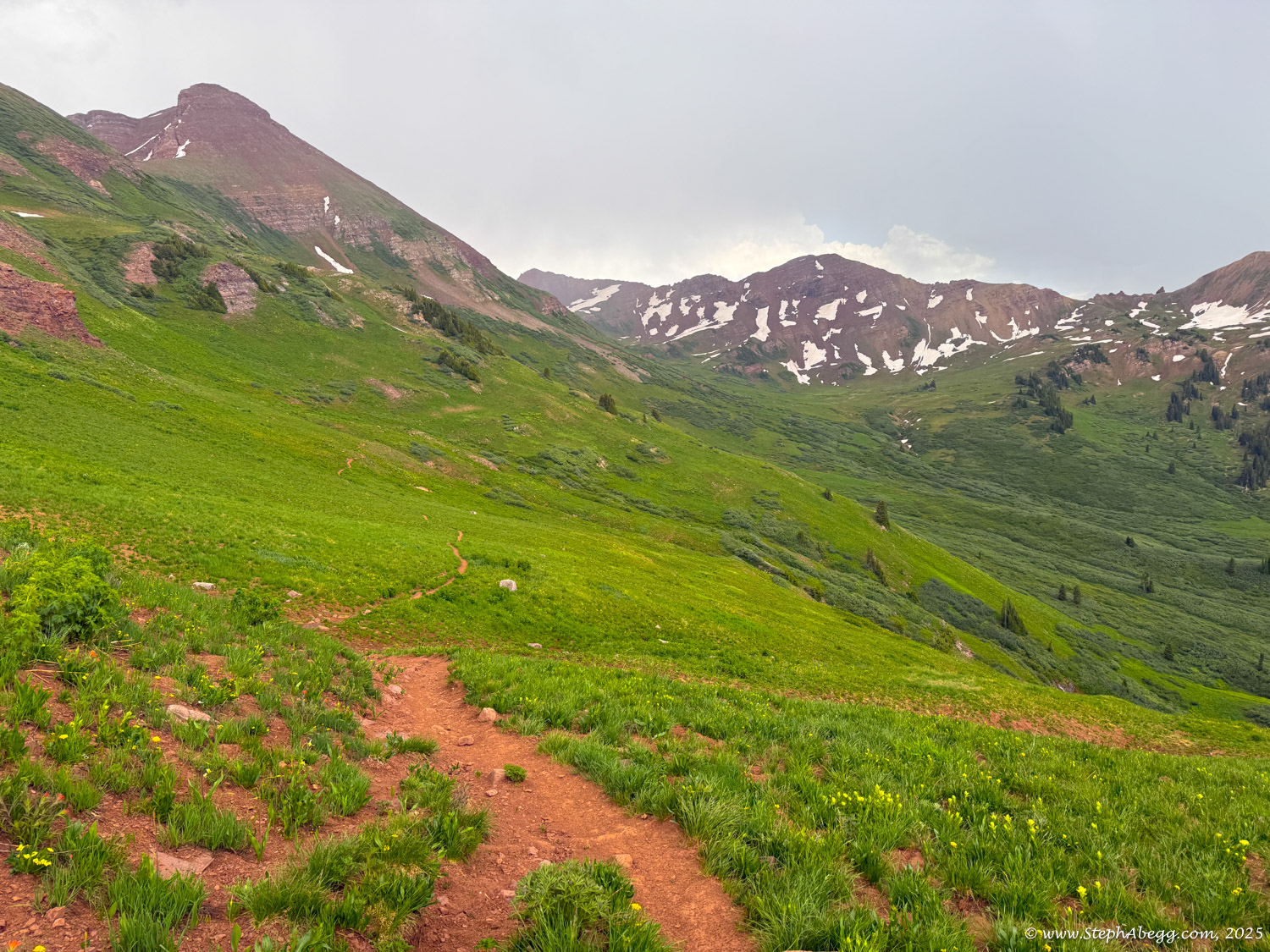
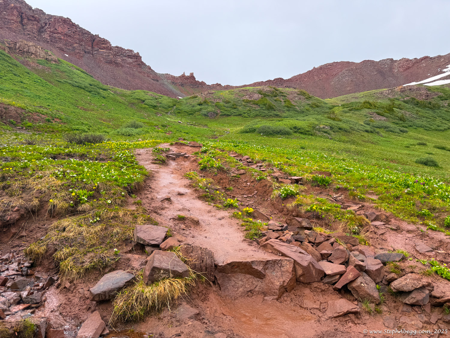
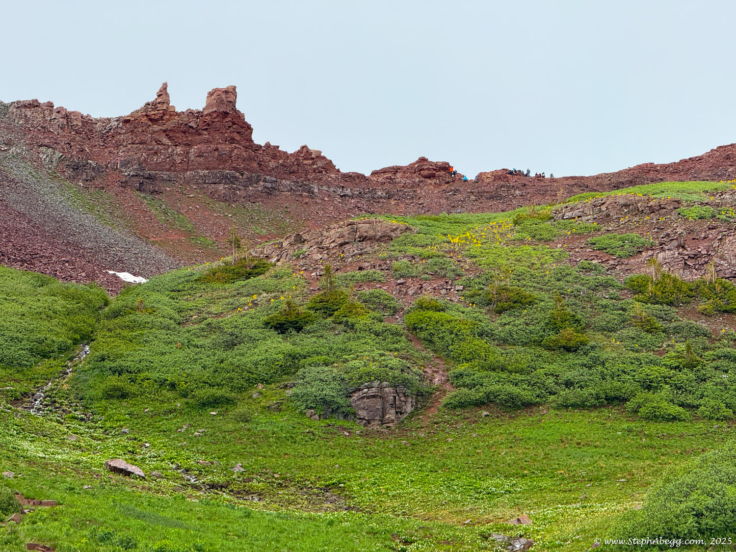
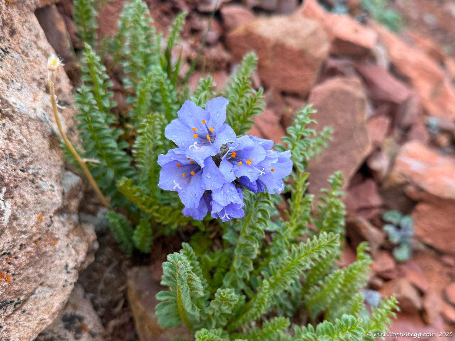
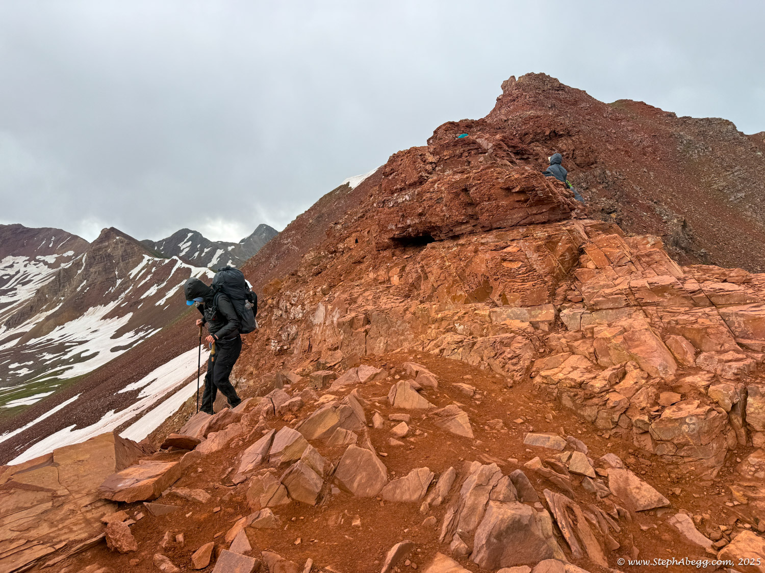
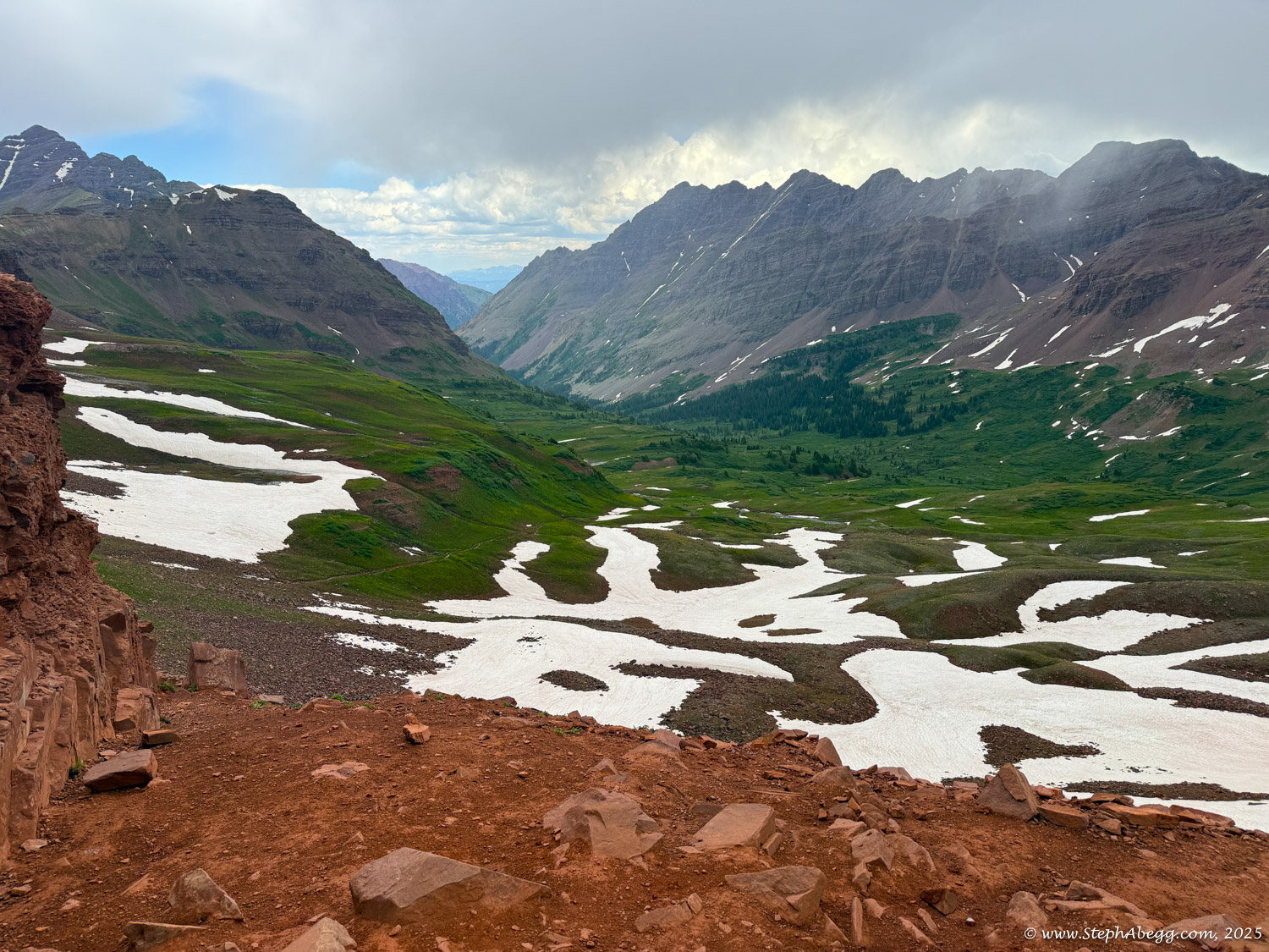
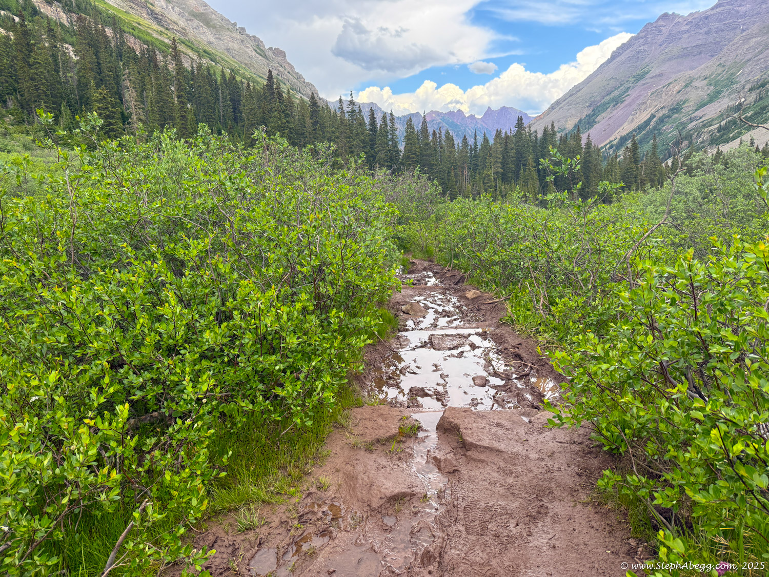
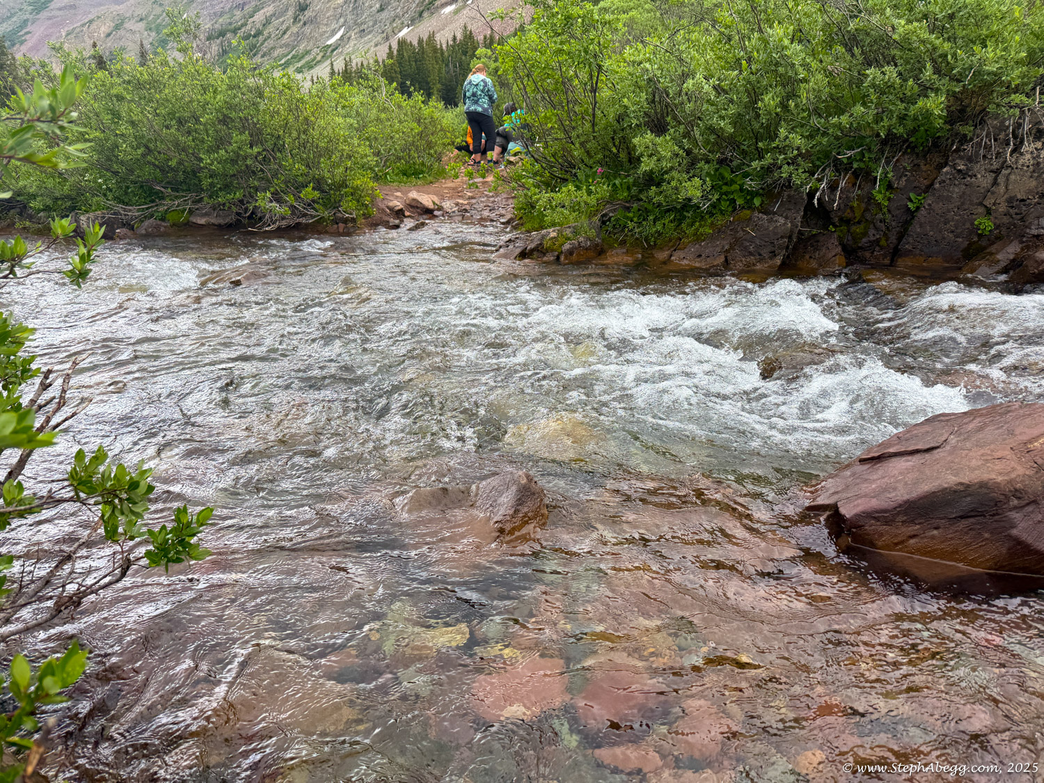
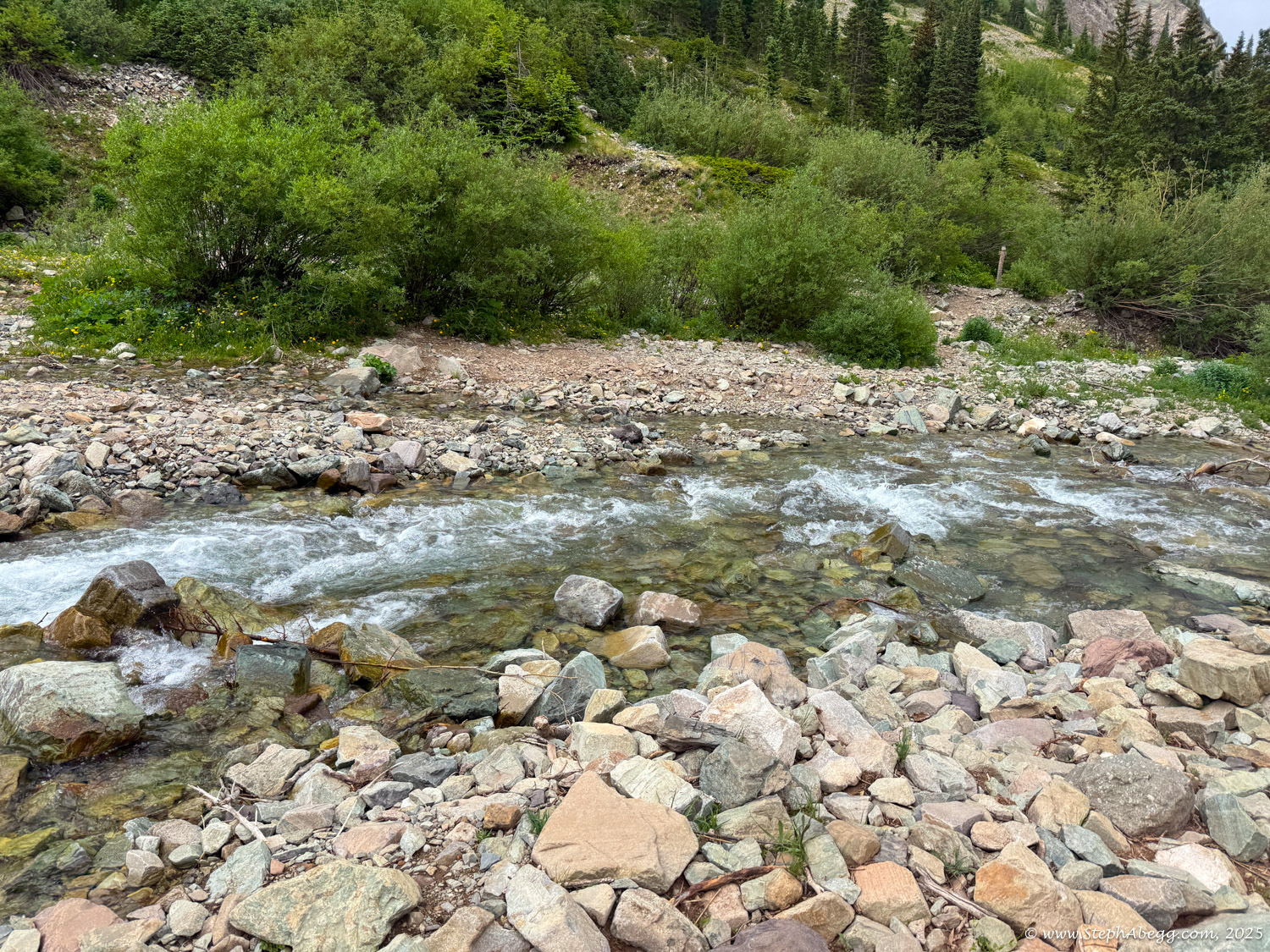
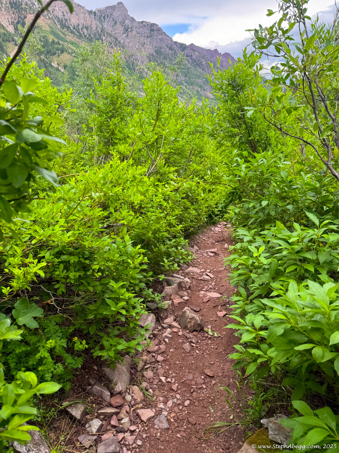
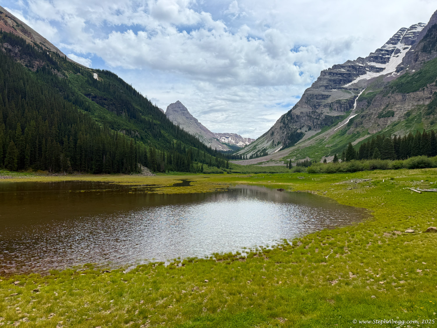
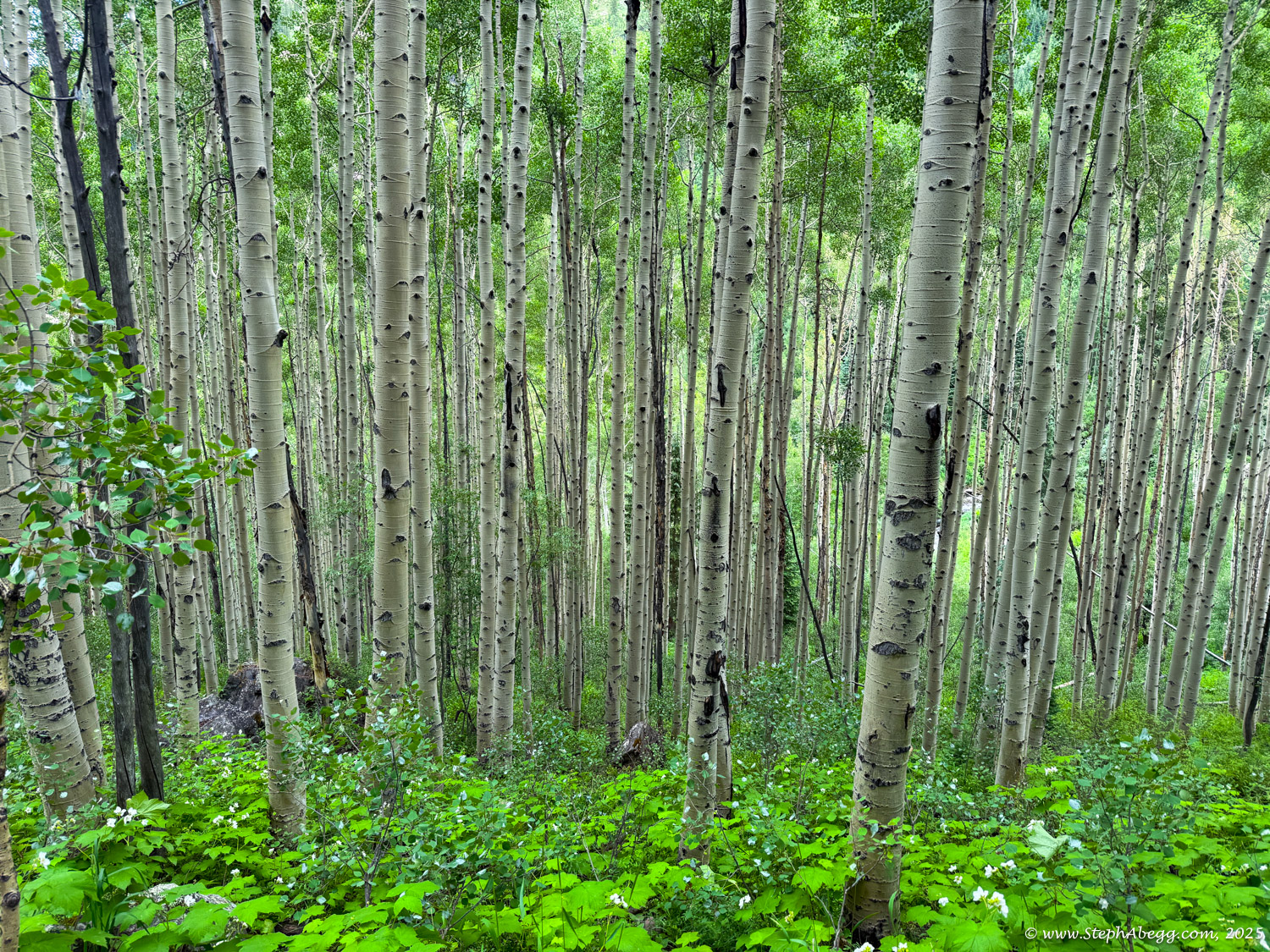
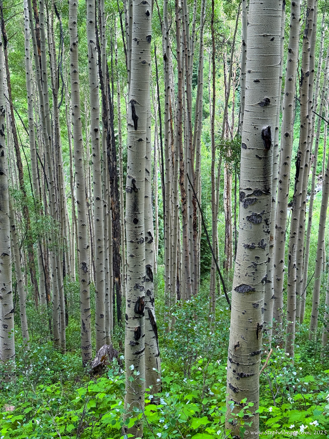
Trail conditions were remarkably dry for July 1, with only a few small snowfields between the passes—none of which required snow travel over the passes themselves. Wildflowers were at peak bloom, a bit earlier than usual, and I passed through lush meadows bursting with dozens of species in full color. The landscape was vibrant and green. Though there are many stream crossings along the route, only three required wading. Water was so plentiful that I never carried more than 1L (2x 500mL water bottles) and I could have easily gotten away with only one of these water bottles; I drank a total of 5L while on the trail, which interestingly correlates well with the sweat loss computed by my Garmin watch. I saw plenty of backpackers going both directions but no one else doing the loop in a single day—though it’s possible someone behind me was doing the same (and judging from the snow tracks, no one ahead of me had taken the counterclockwise route that day).
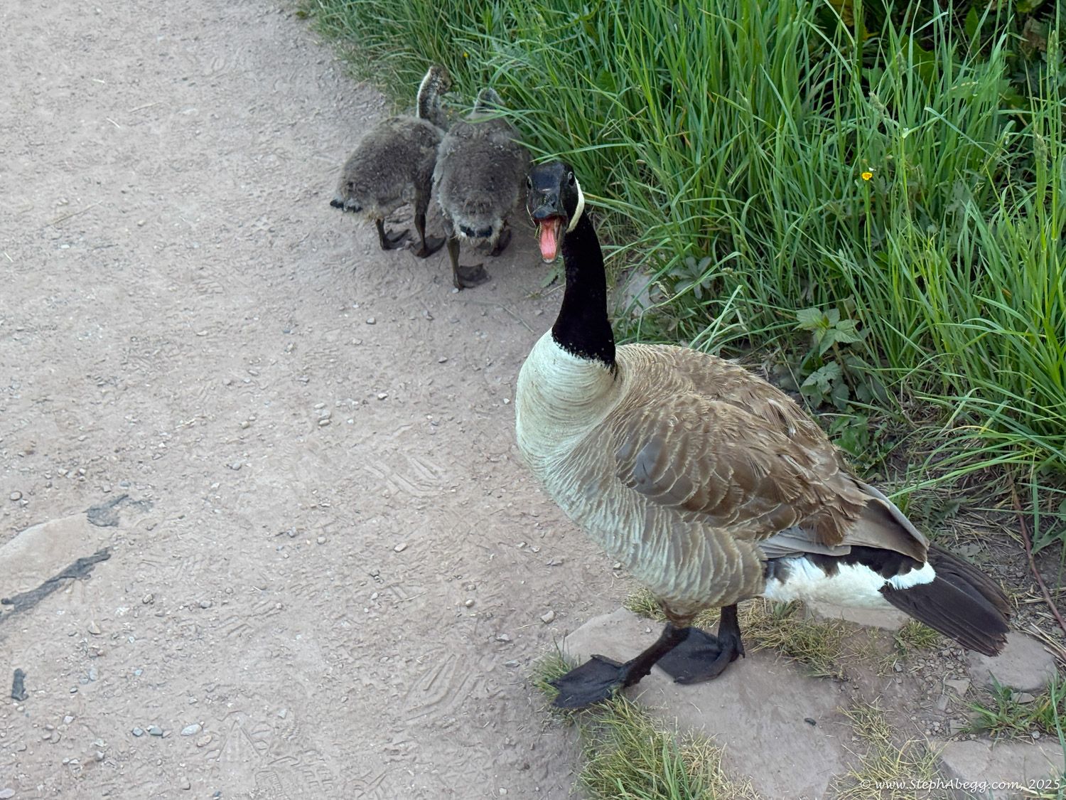
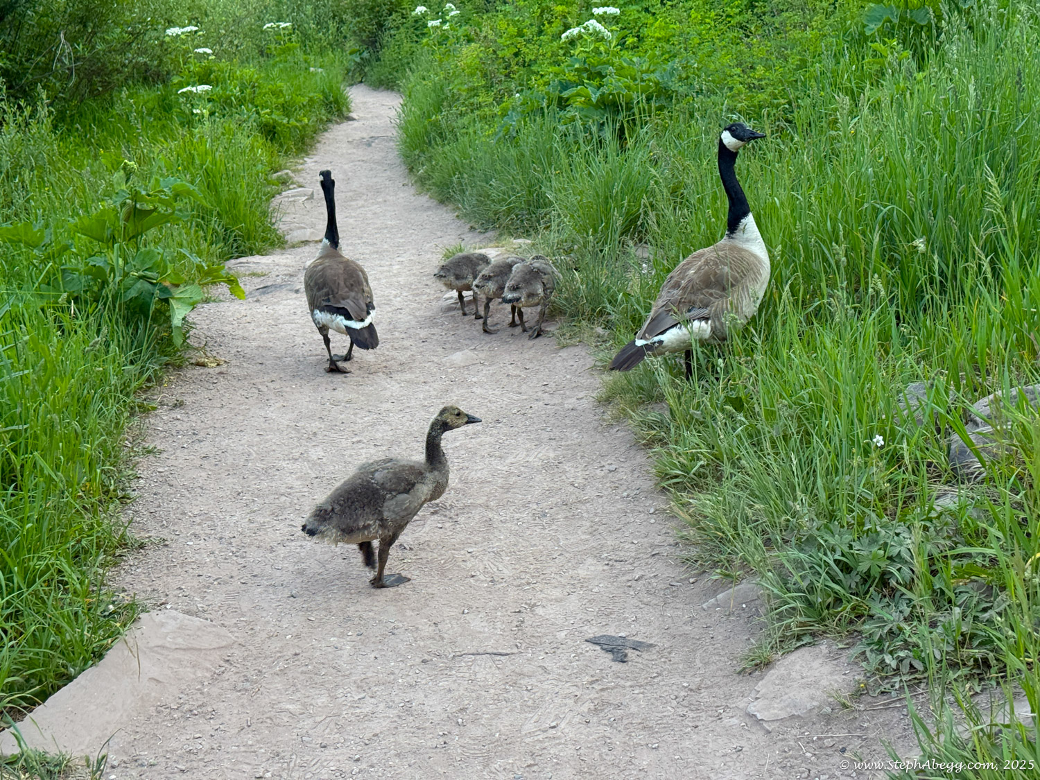
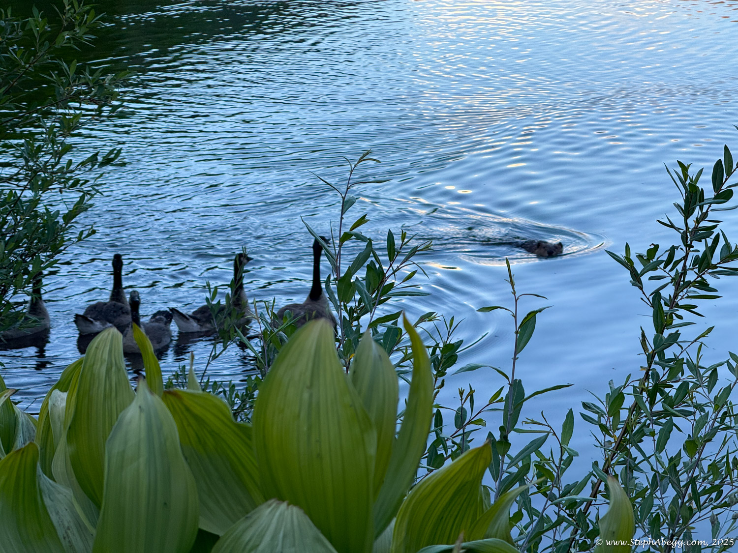
This page shares my map, stats, and favorite photos from the day. It was an unforgettable experience in the heart of Colorado’s high country.