Laurel Mountain, Northeast Gully (5.2)

Laurel Mountain

Route:

Northeast Gully

5.2, solo

A geologic adventure gully line through the colofully banded huge face that towers over Convict Lake.

Region: California
Elev: 11,812 ft
Rock type: metamorphosed sedimentary rock (argillite, quartzite, marble, hornfels)
Type: 
Date(s): August 30, 2025 (Sat)
Partner(s): solo

Route Overlays

CLICK TO ENLARGE

Map

CLICK TO ENLARGE

Intro

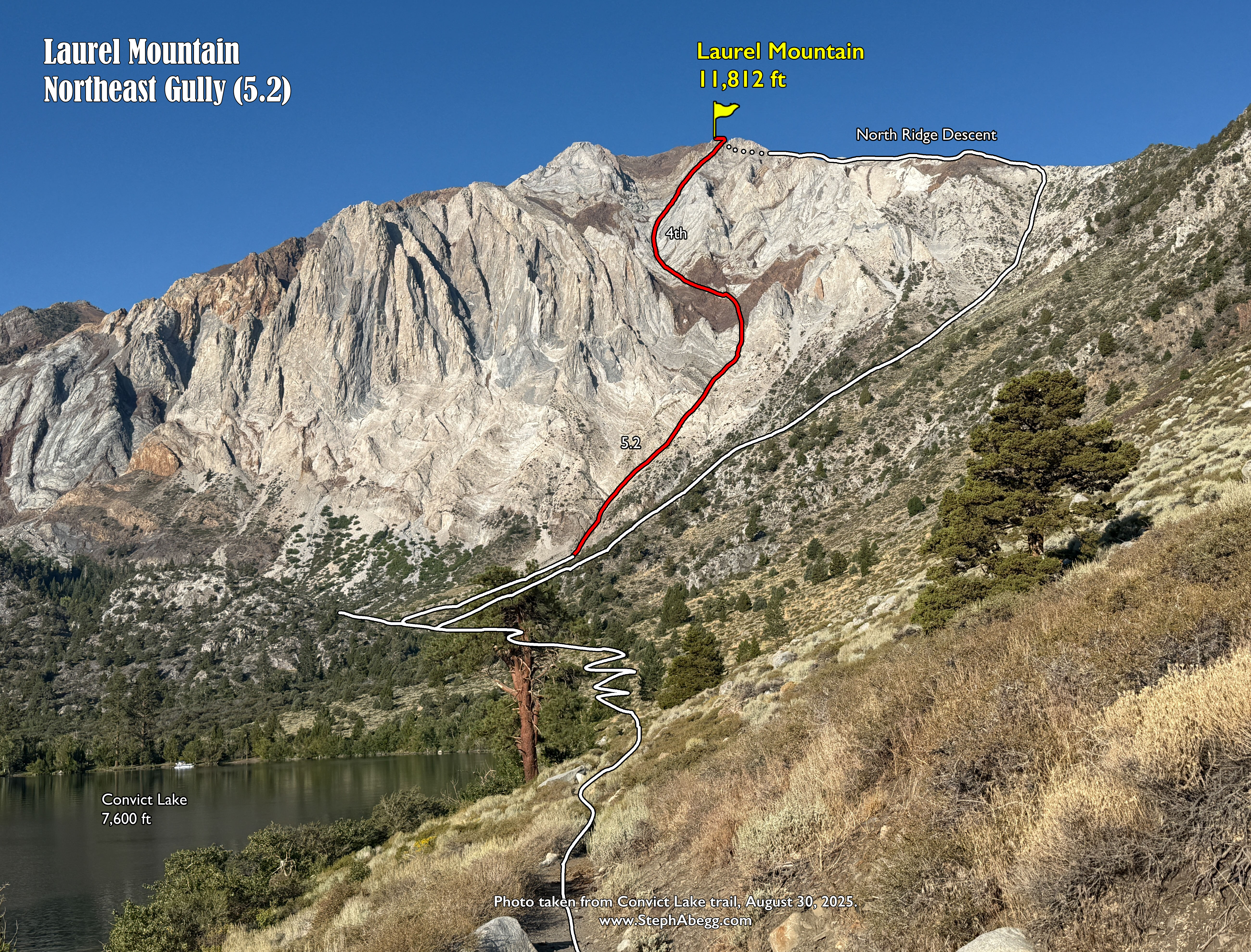
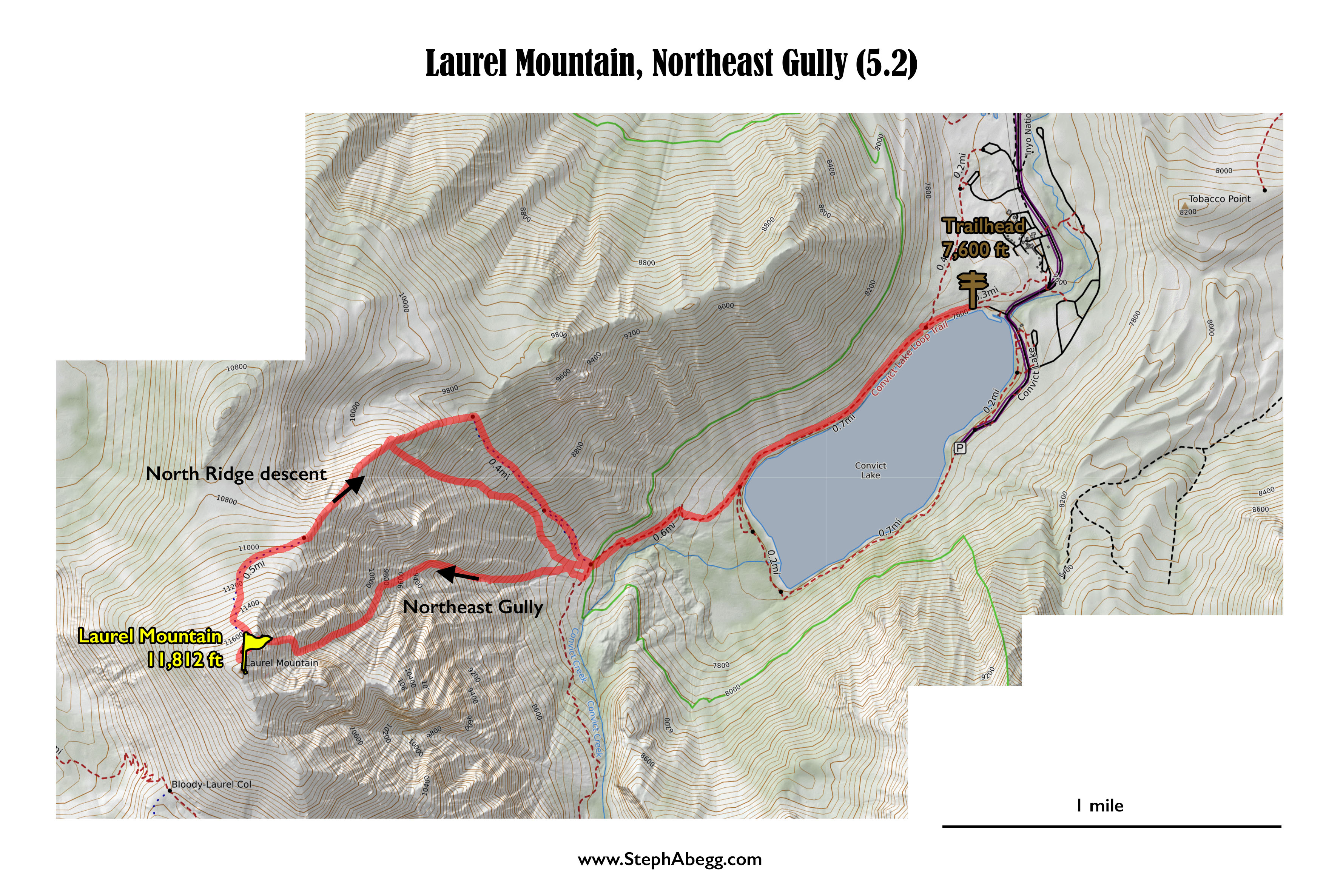
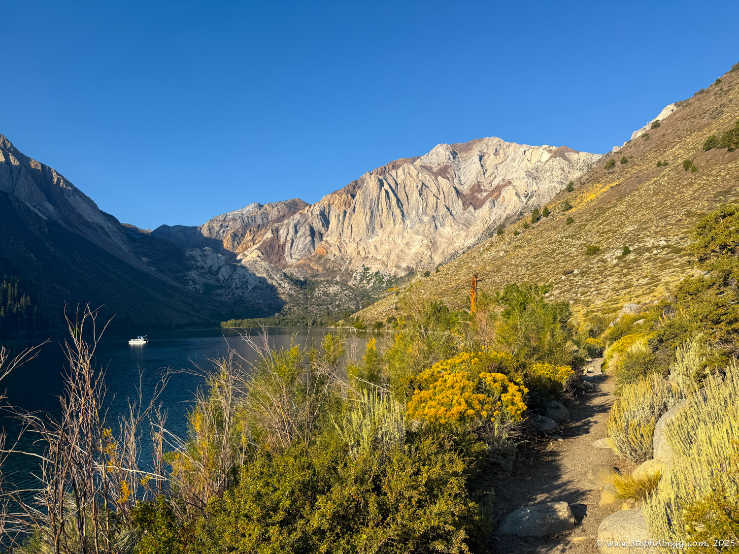
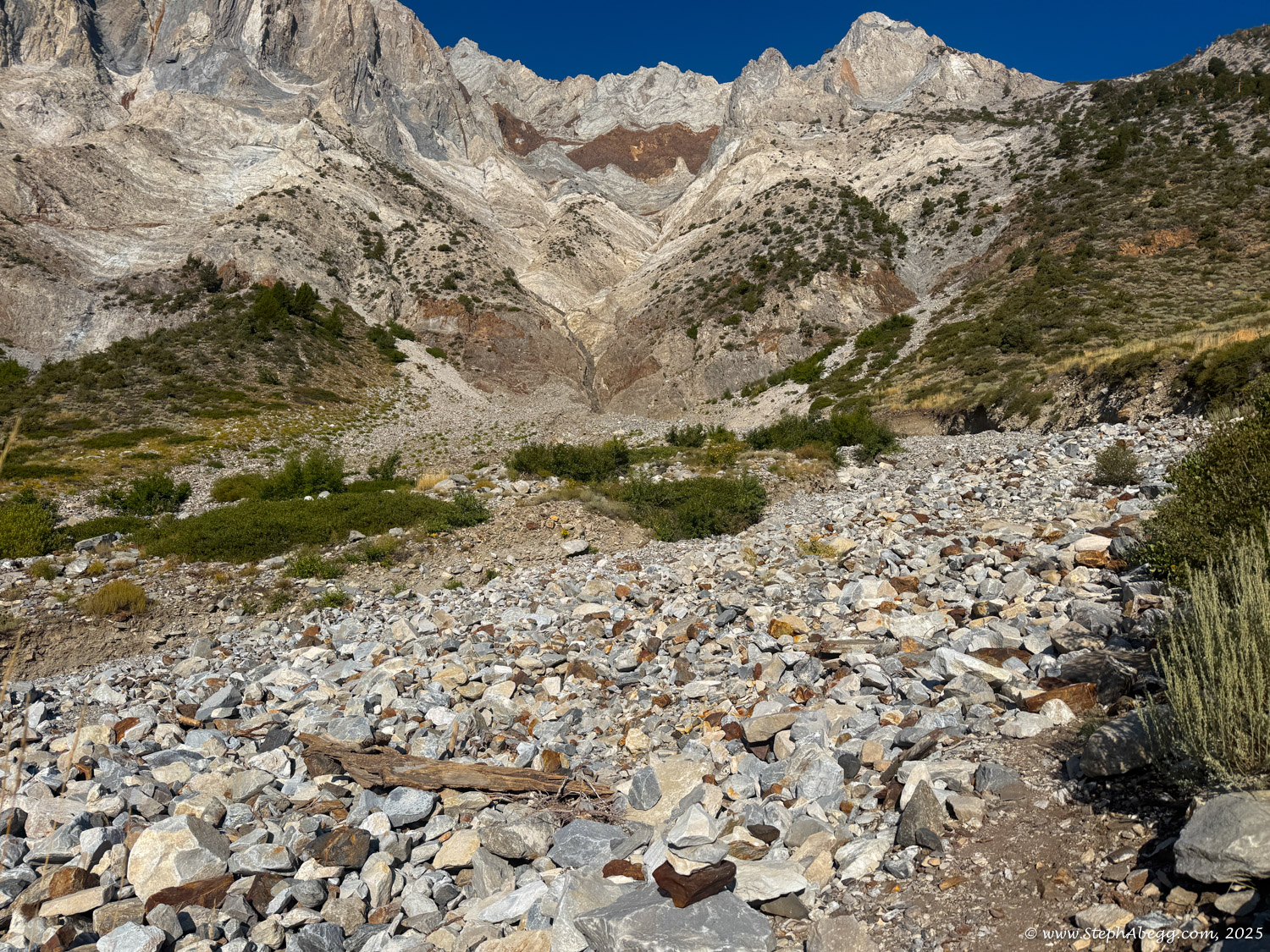
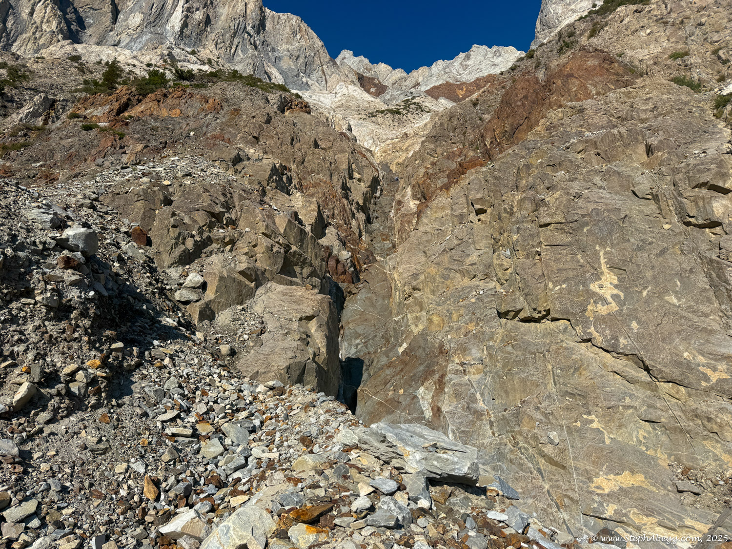
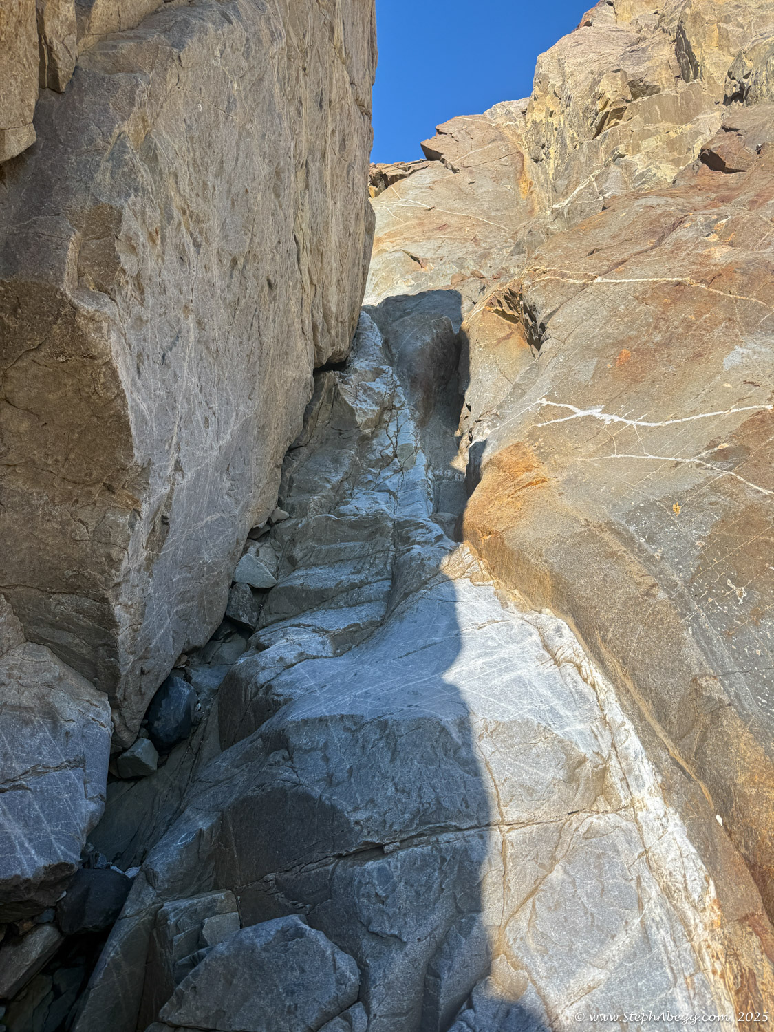
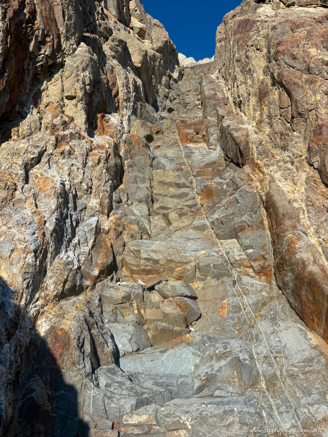
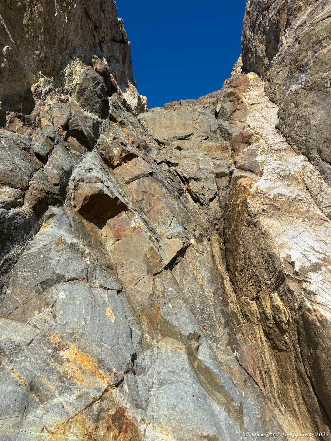
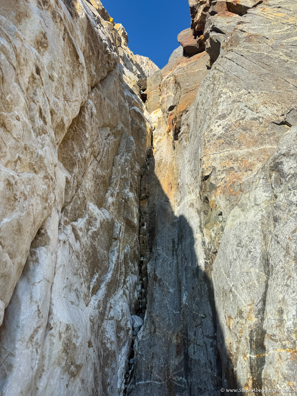
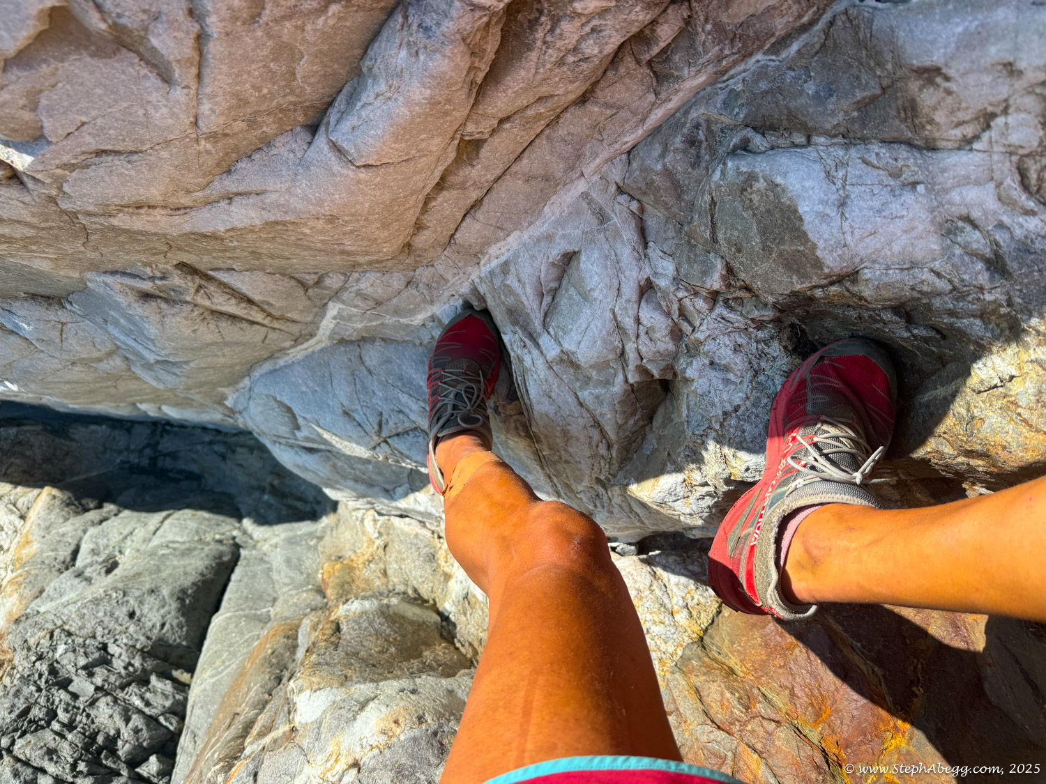
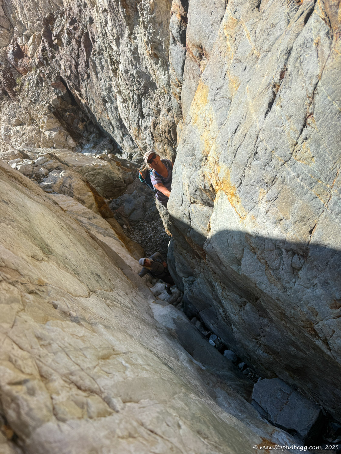
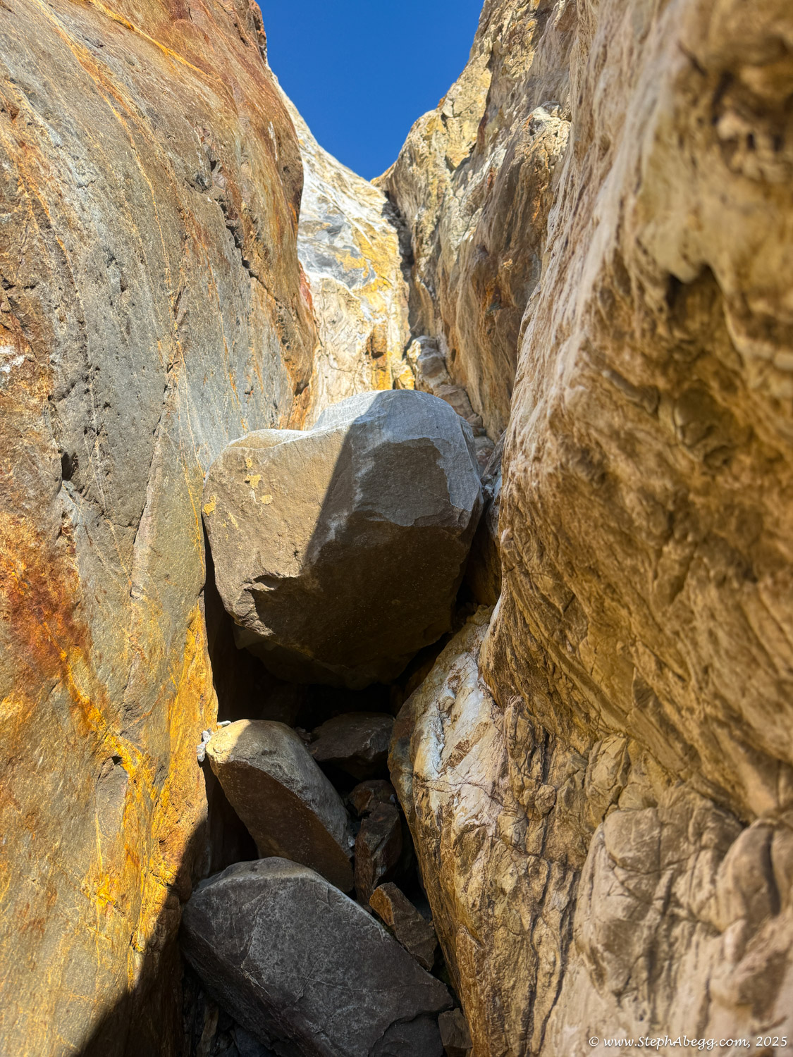
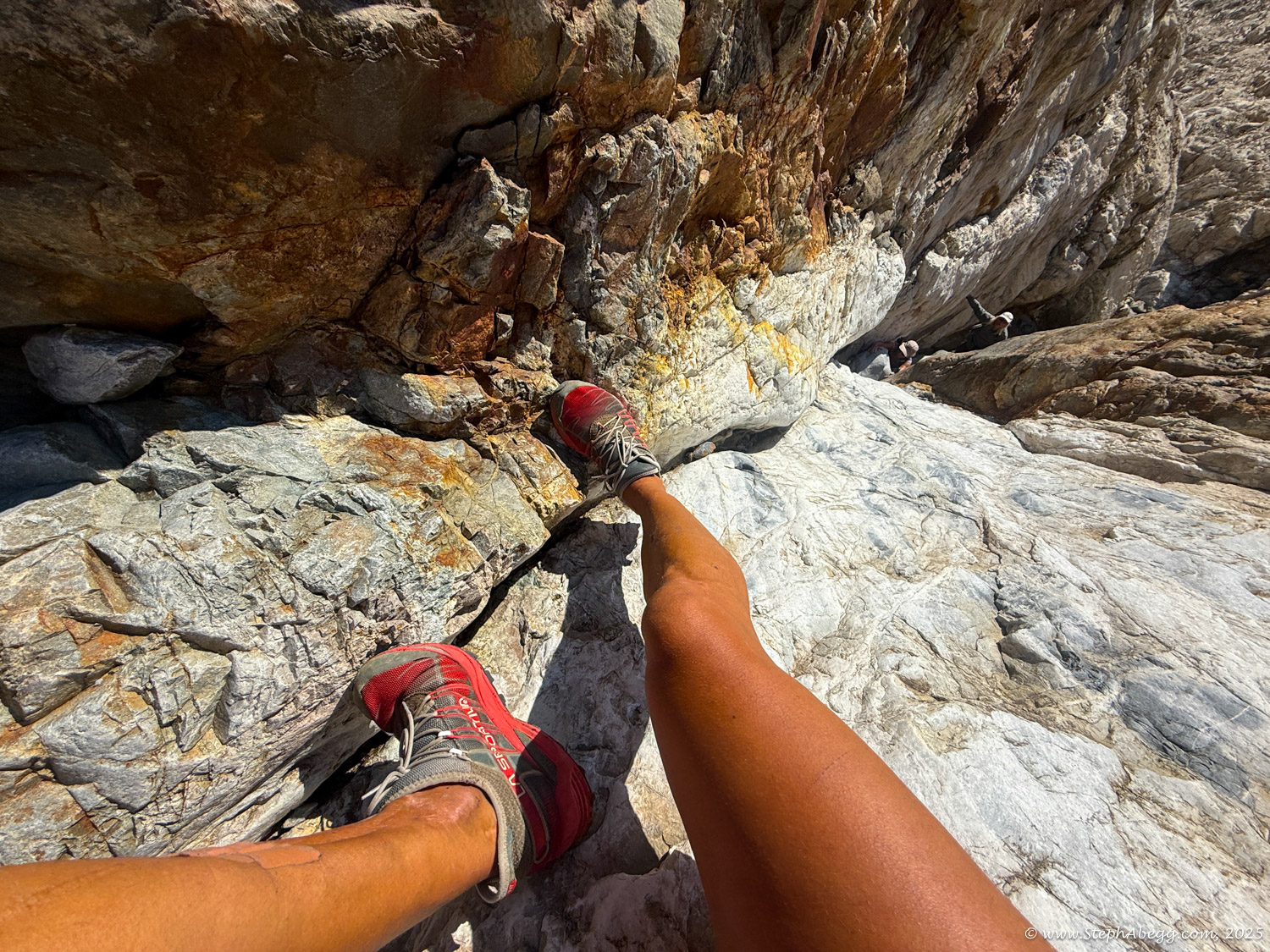
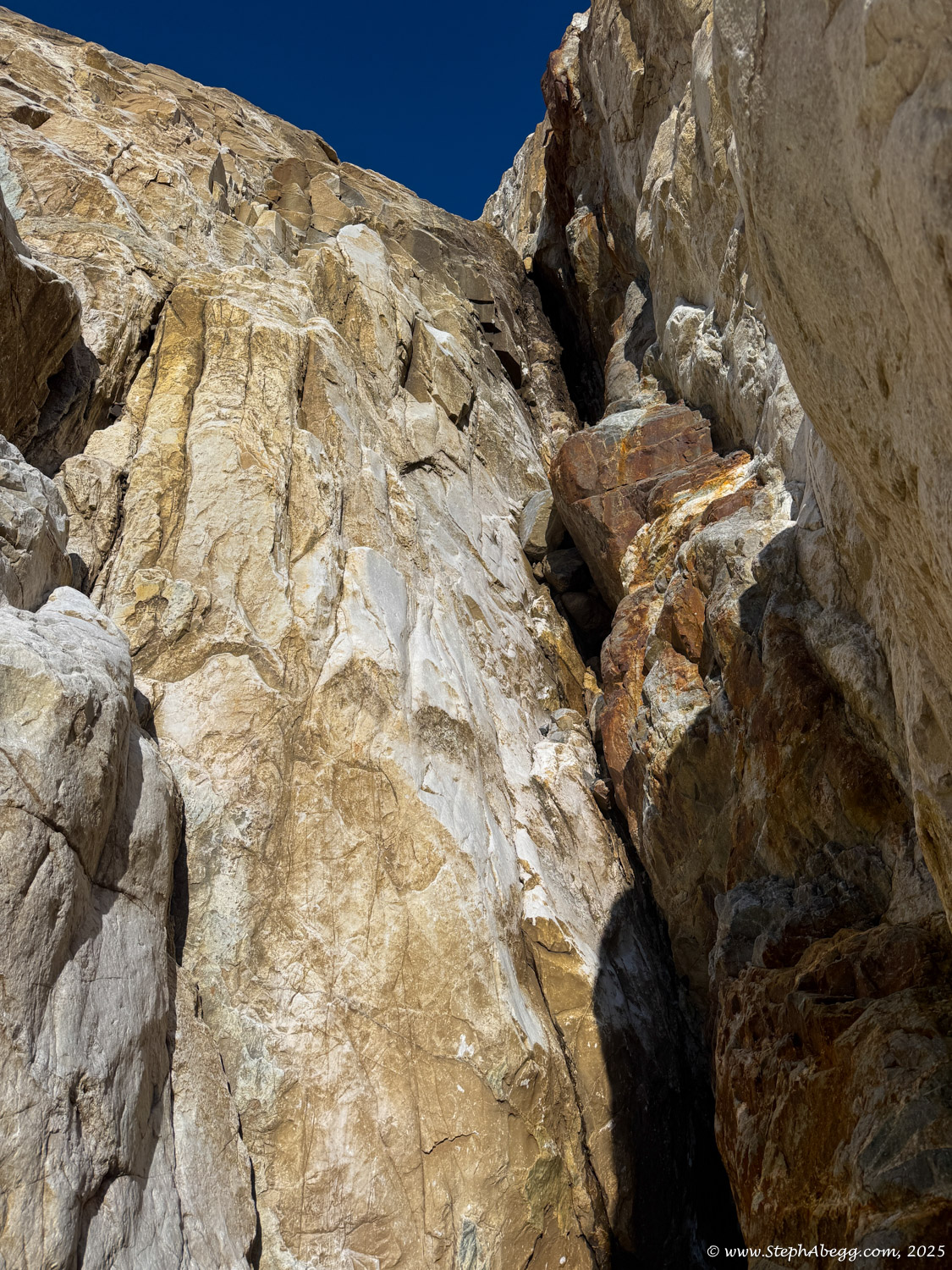
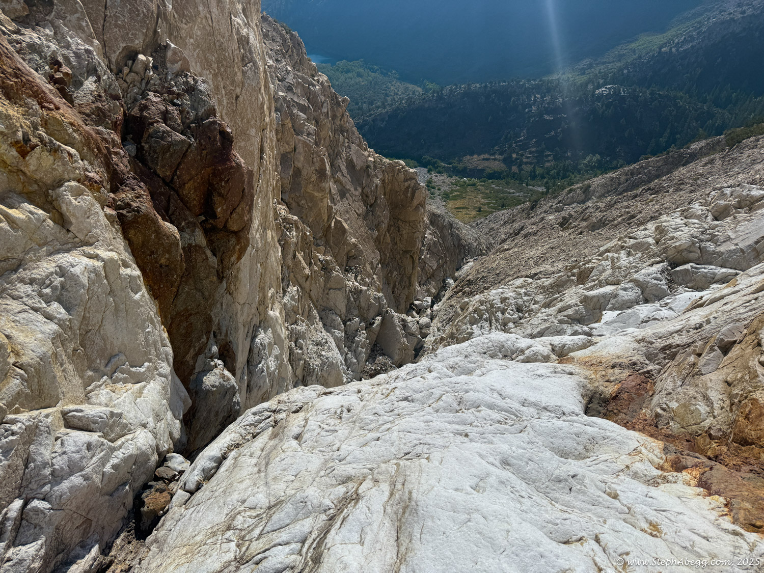
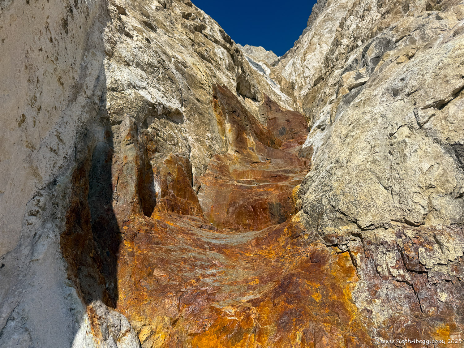
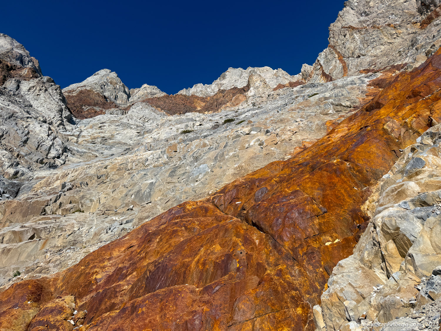
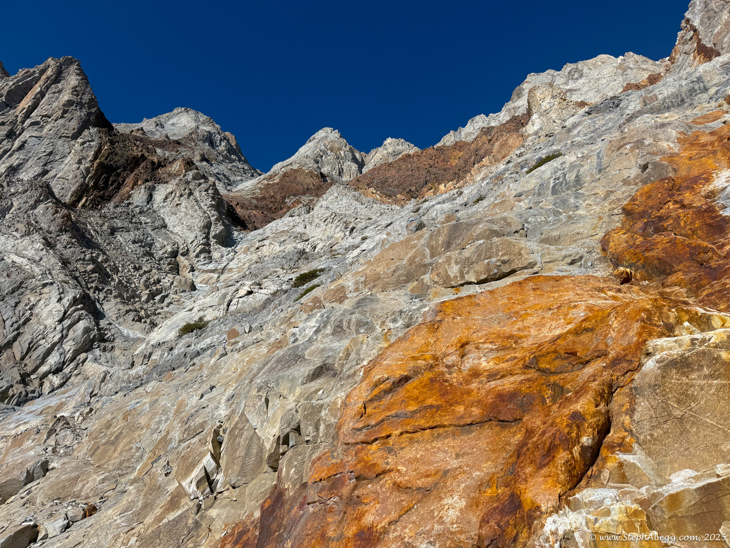
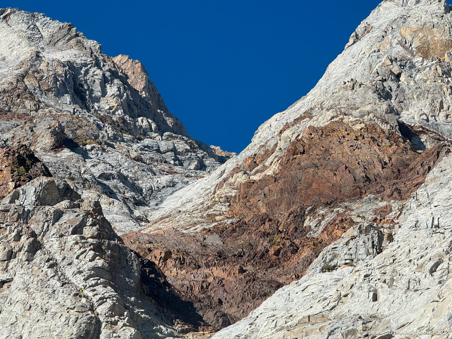
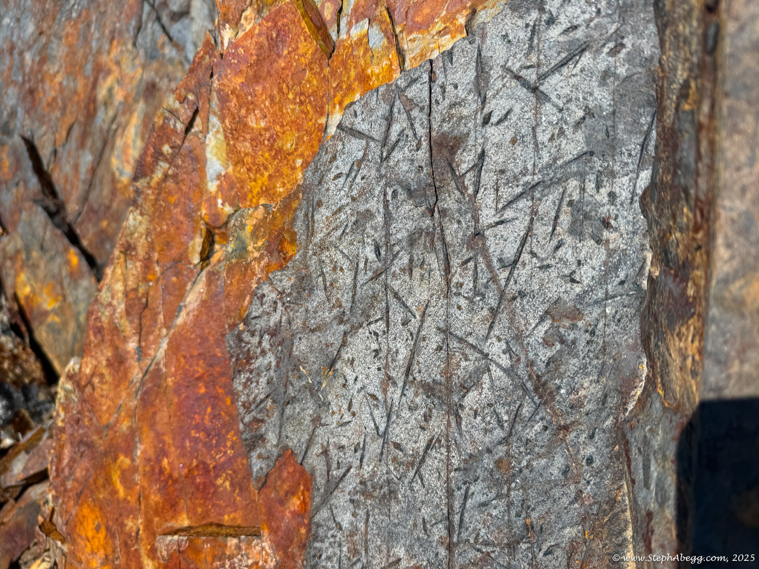
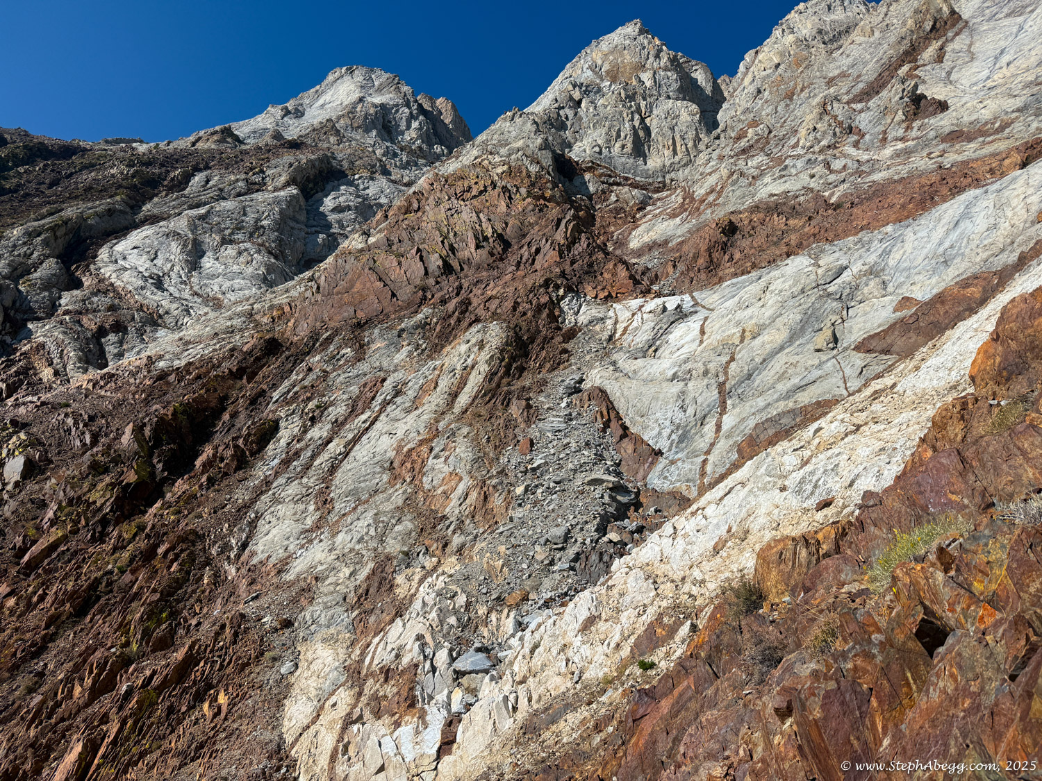
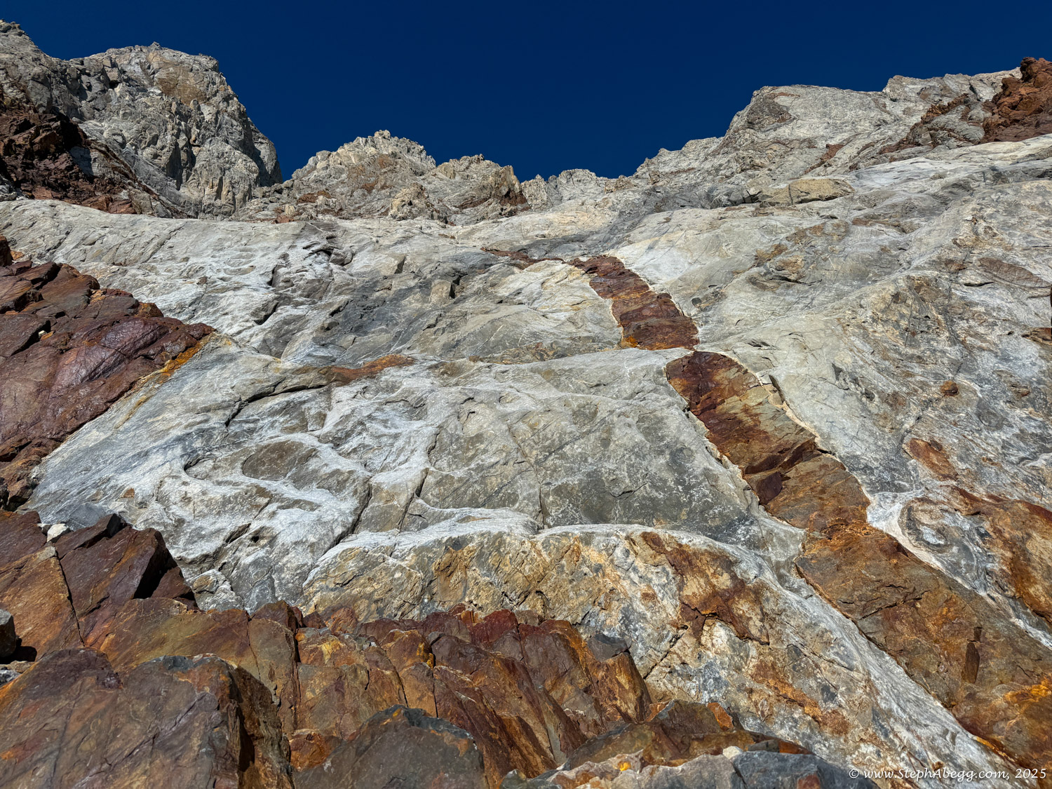
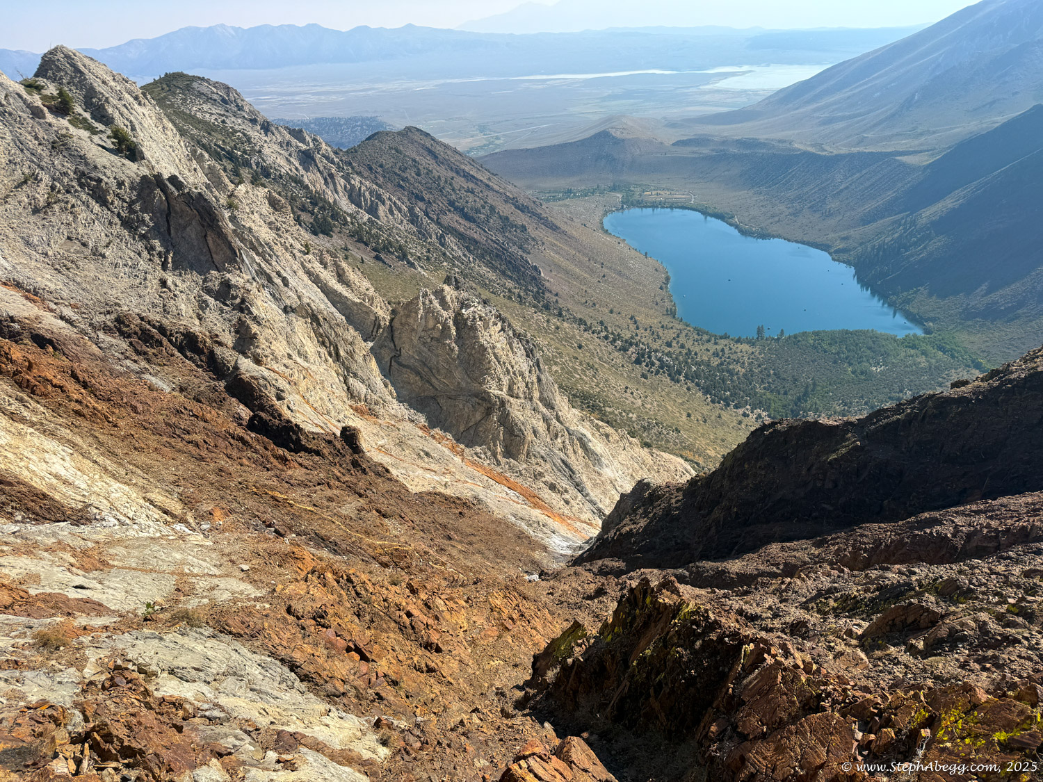
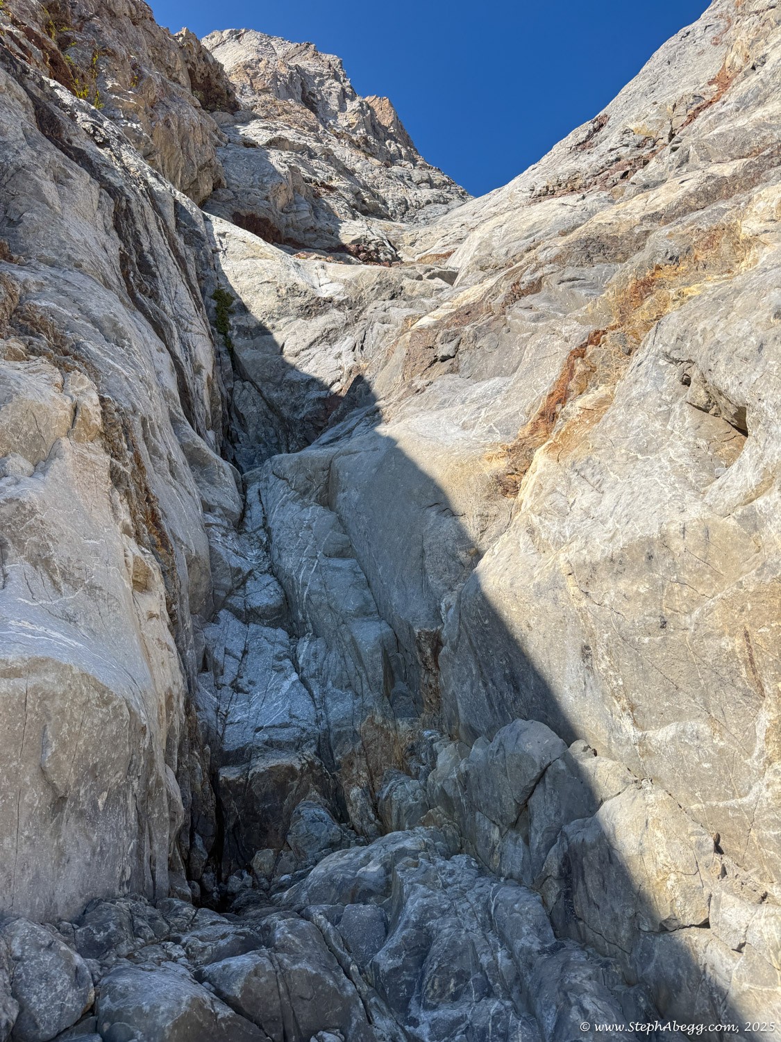
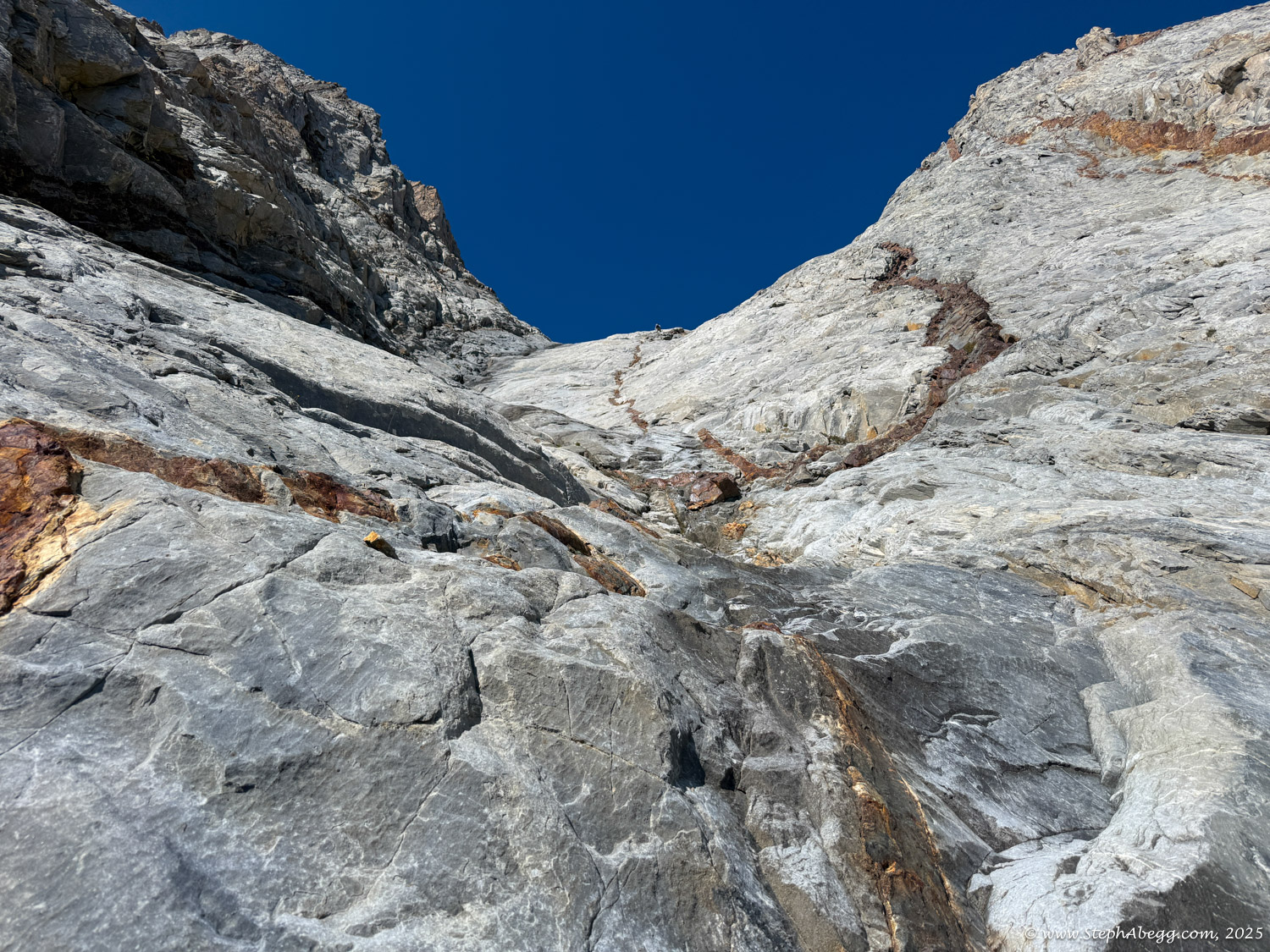
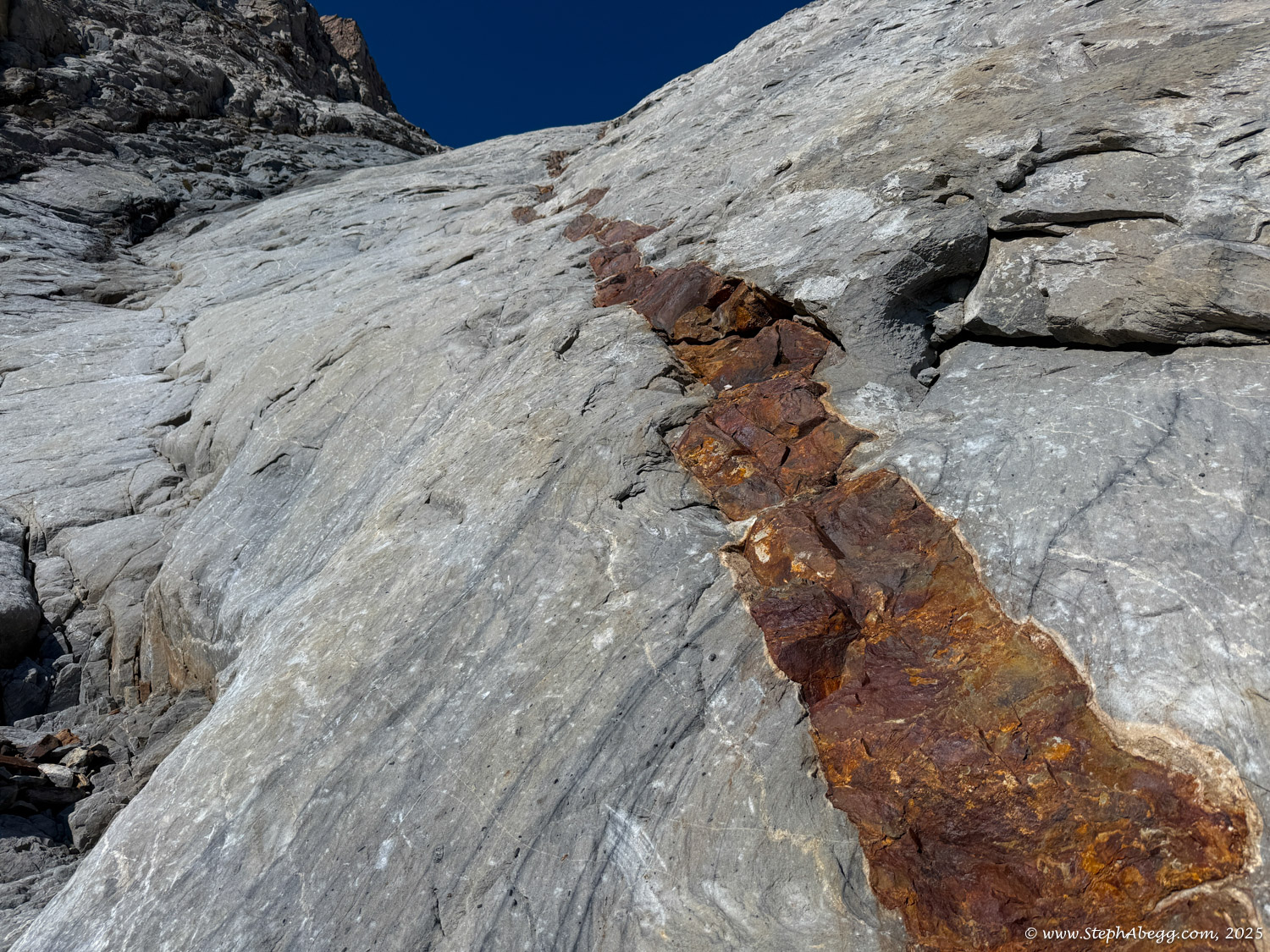
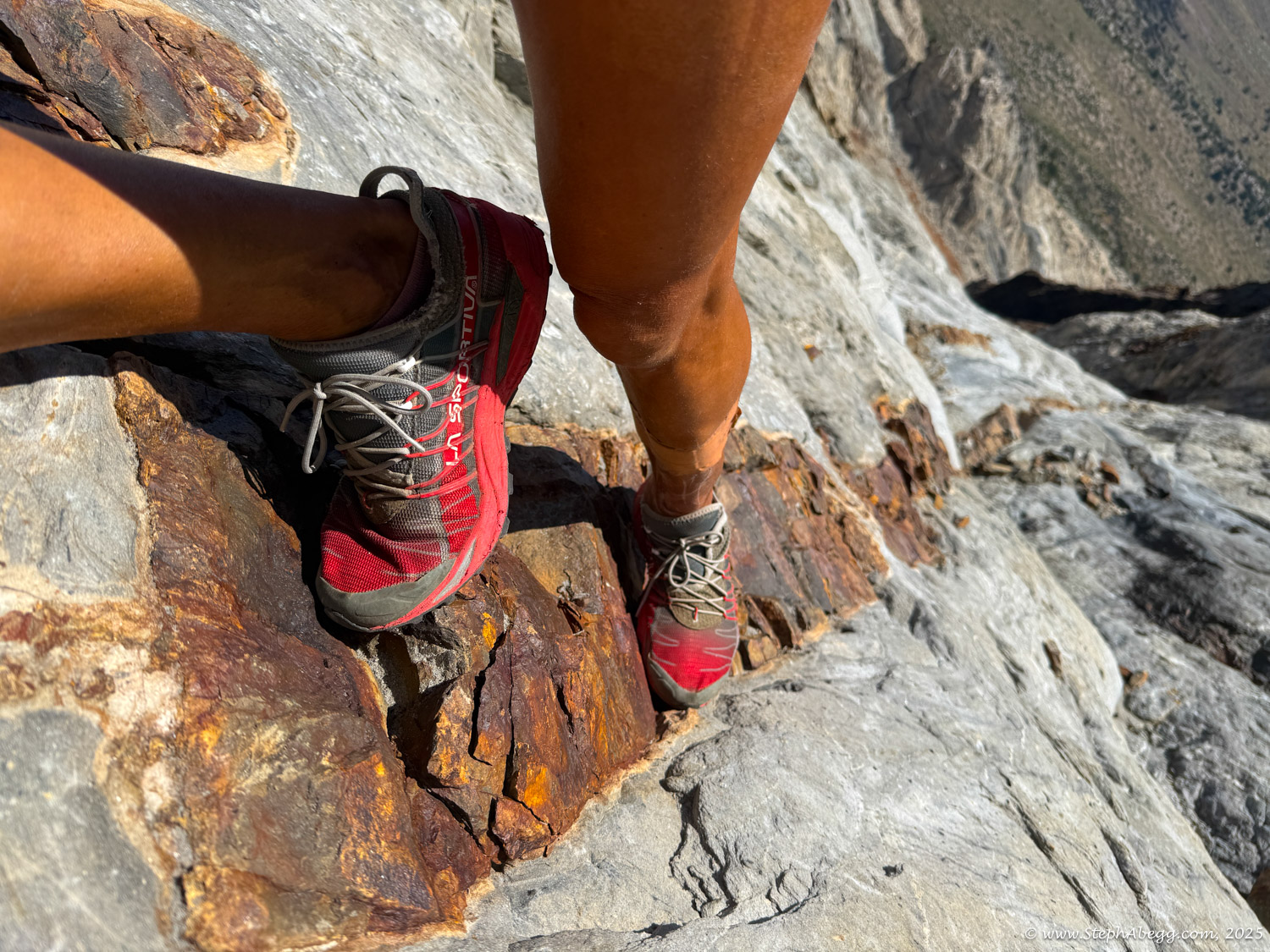
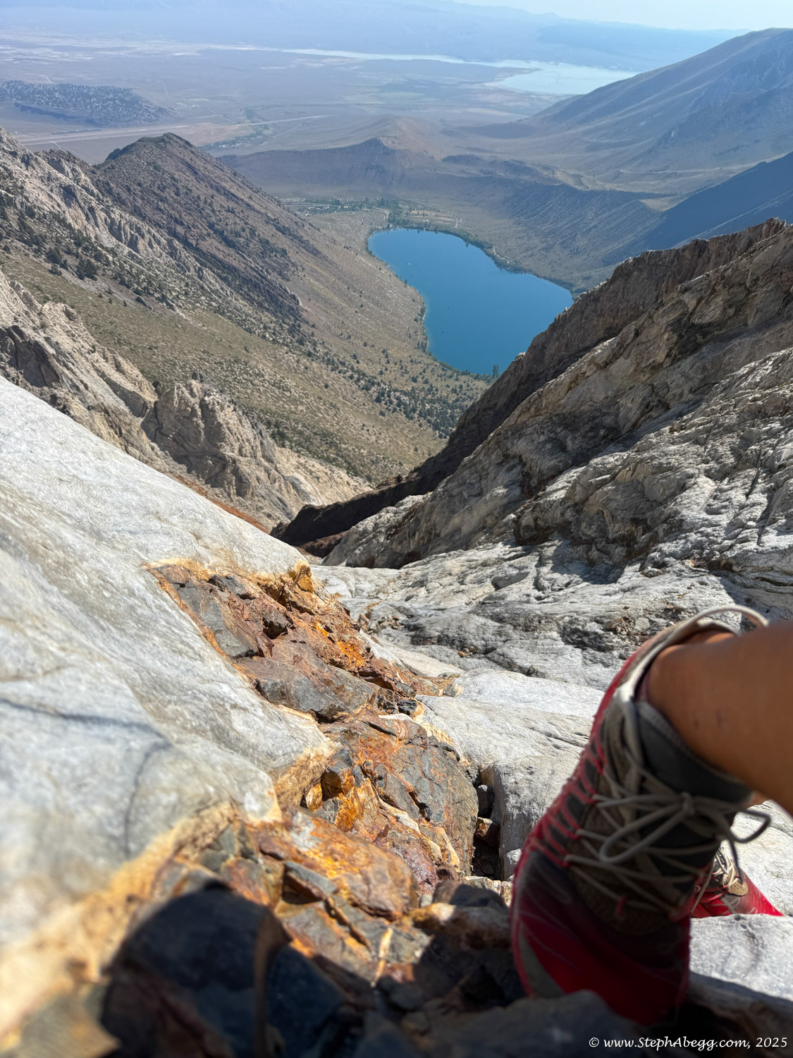
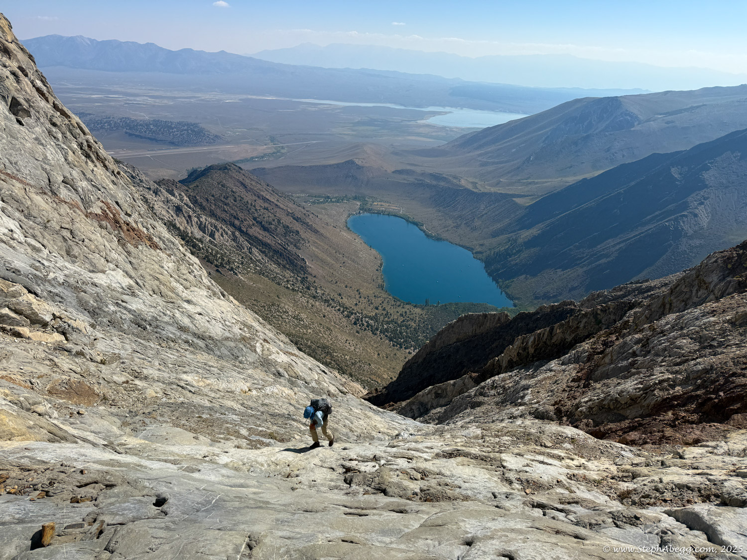
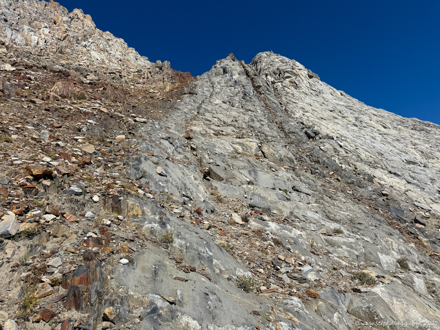
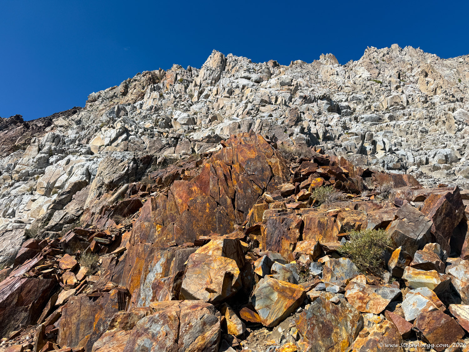
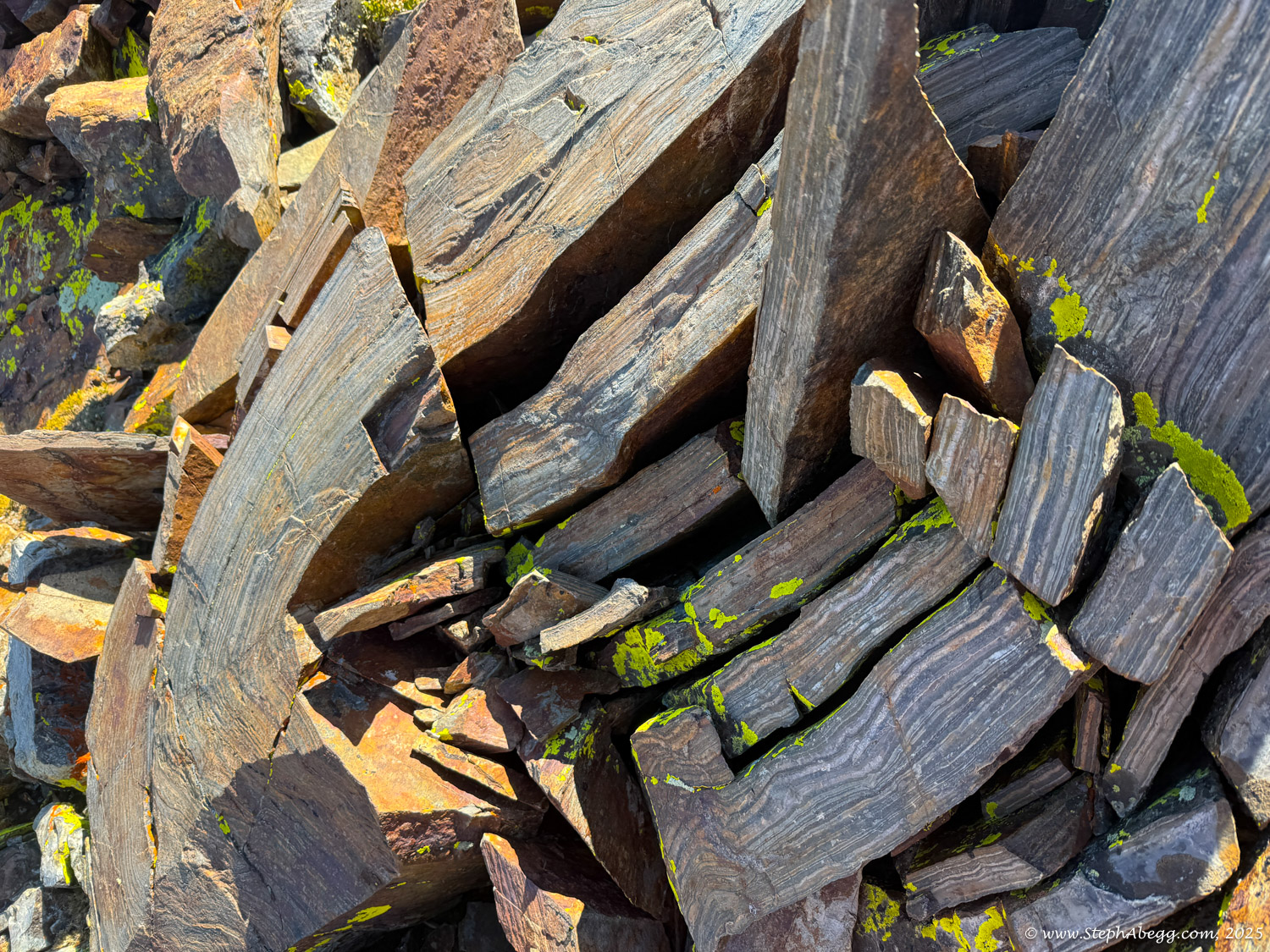
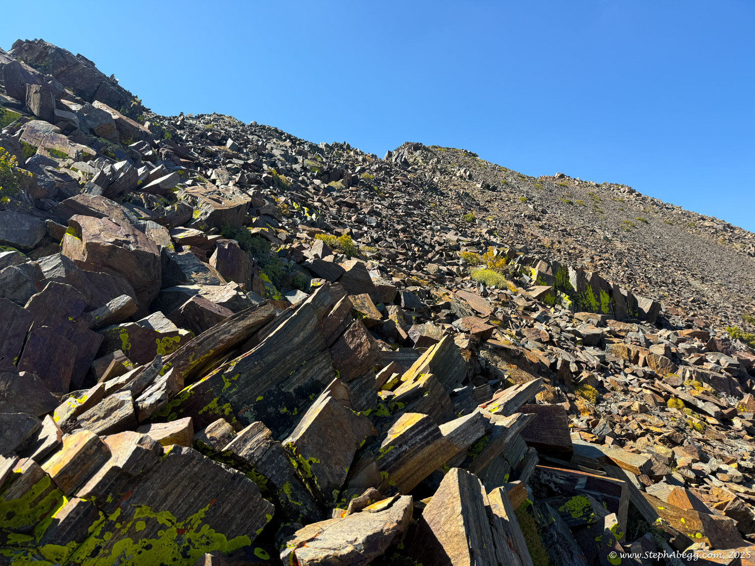
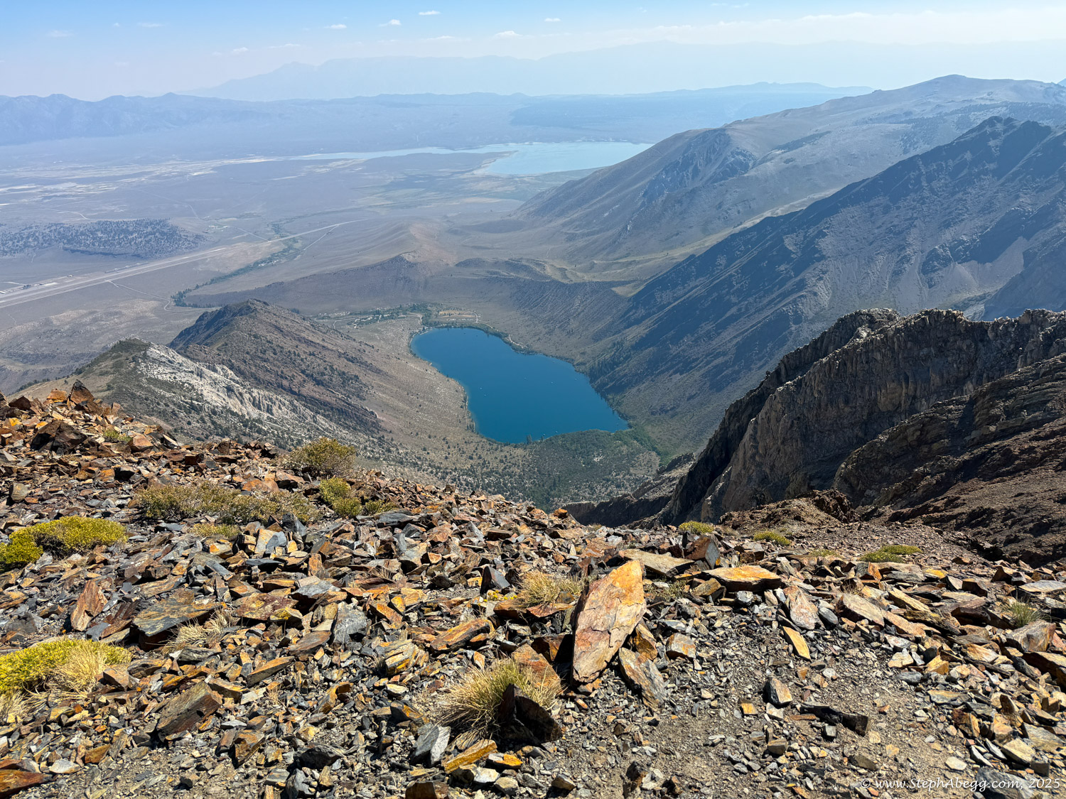
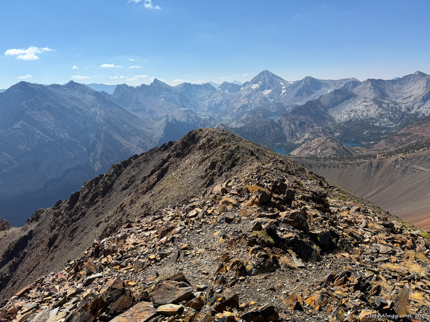
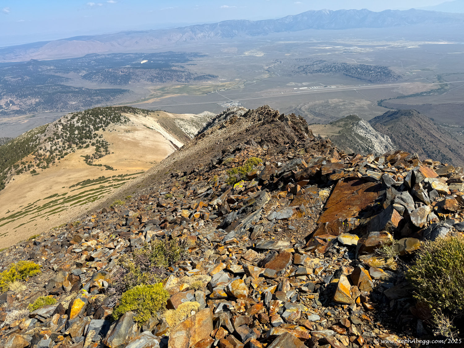
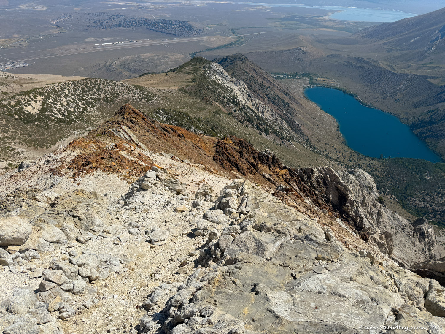
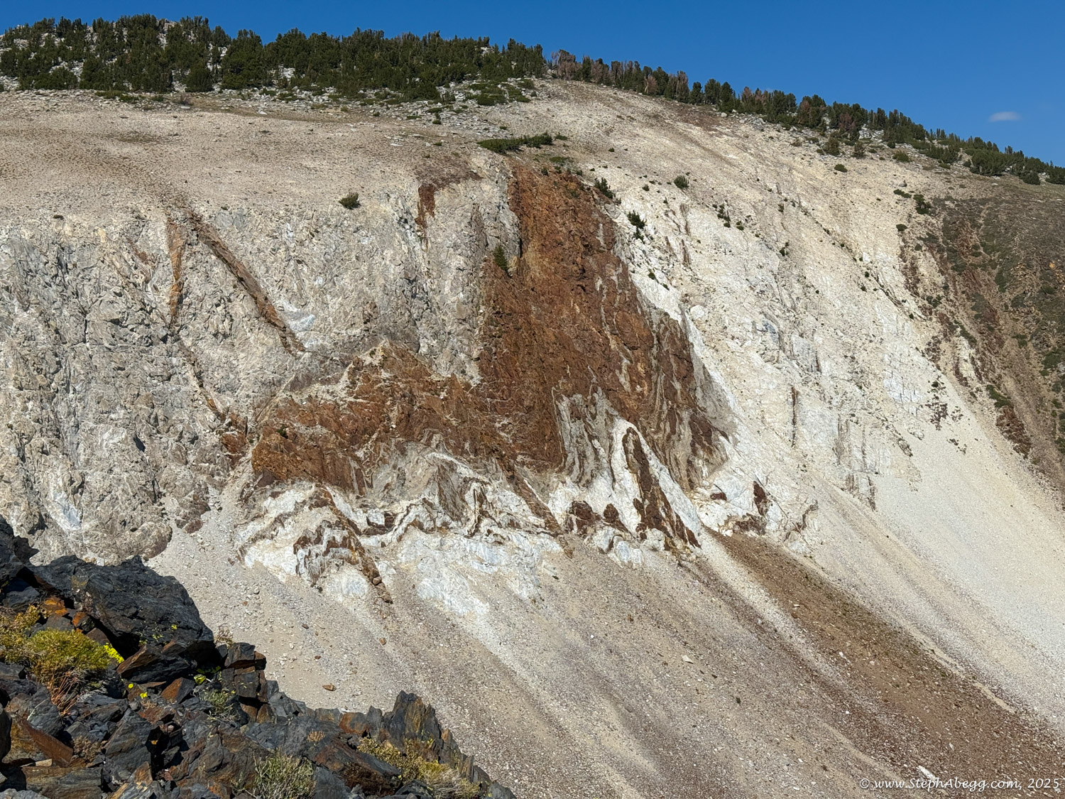
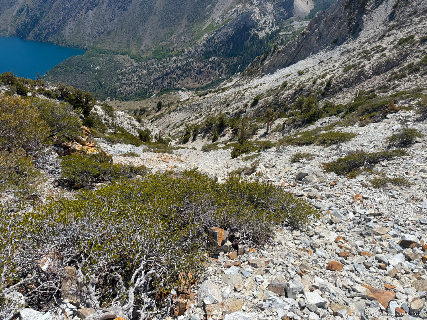
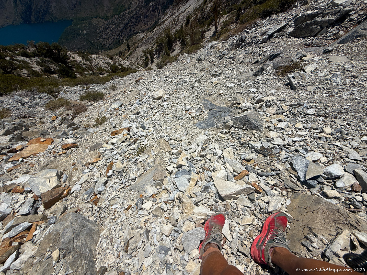
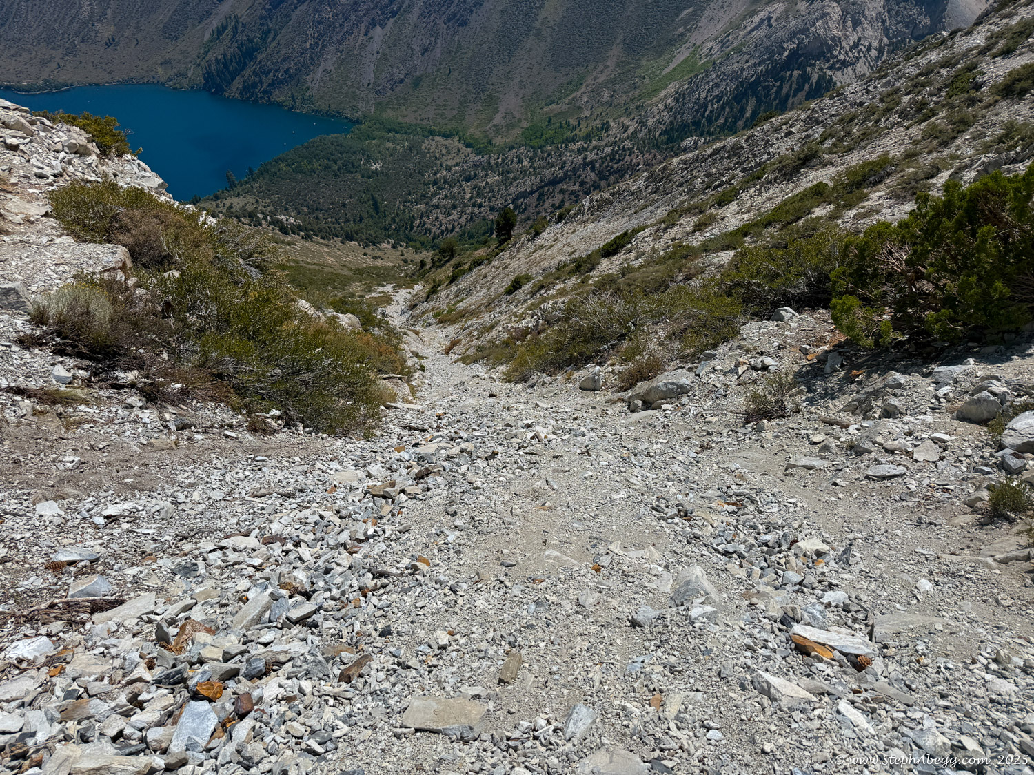
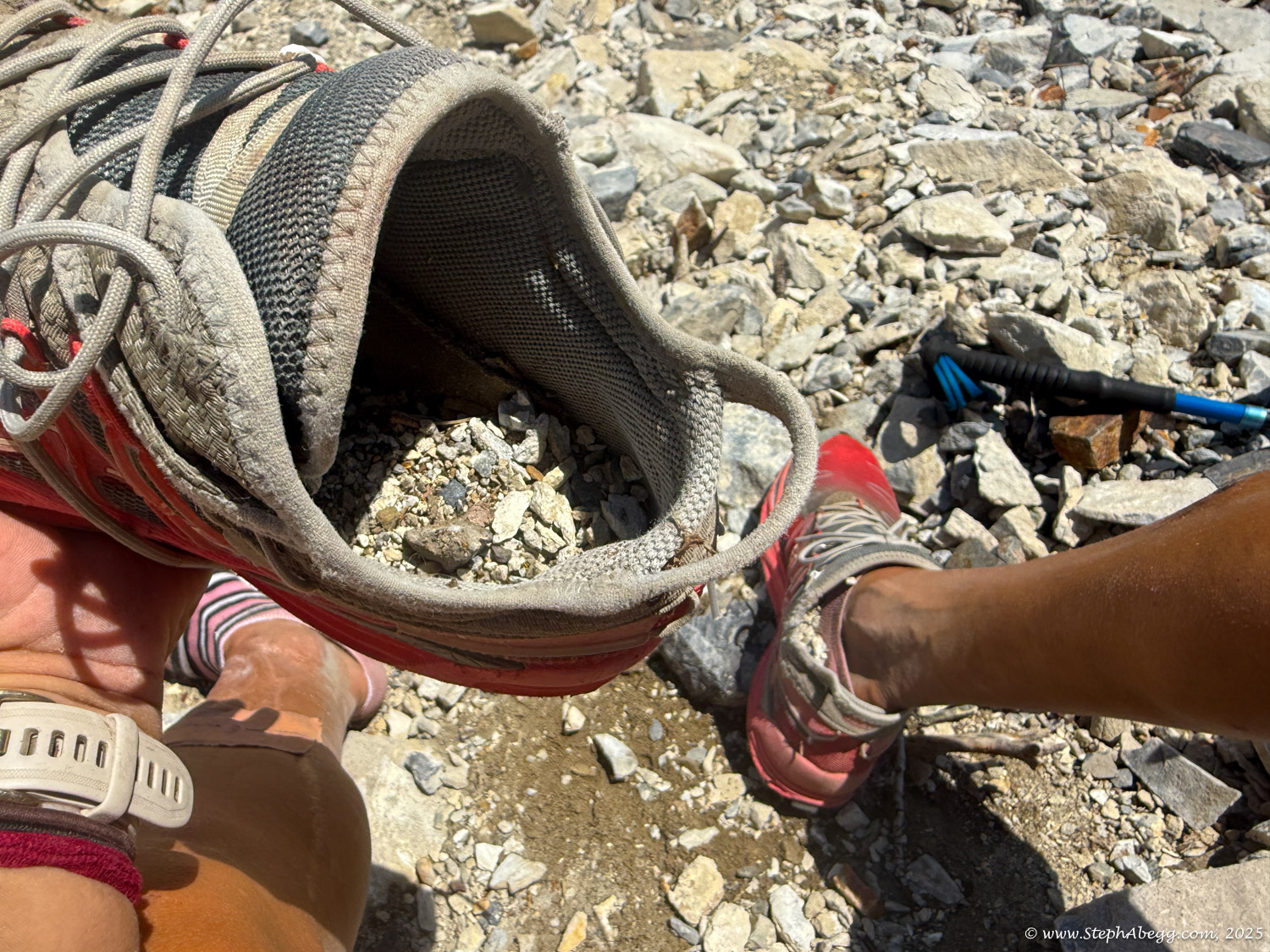
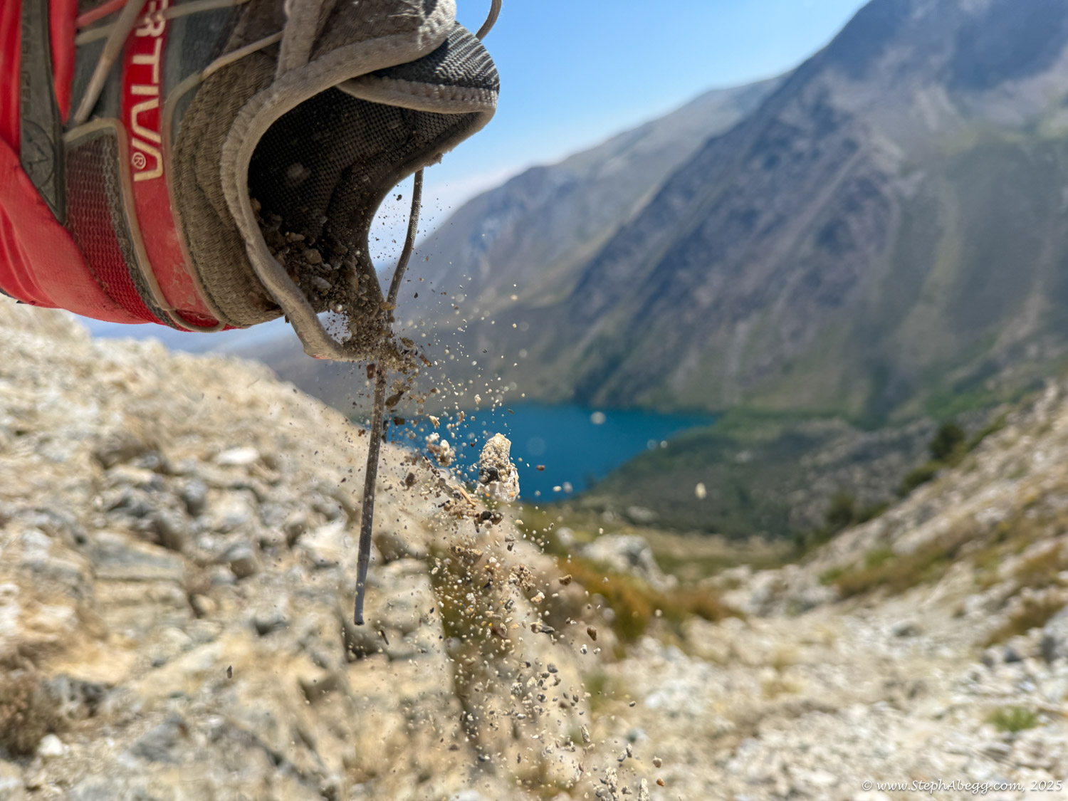
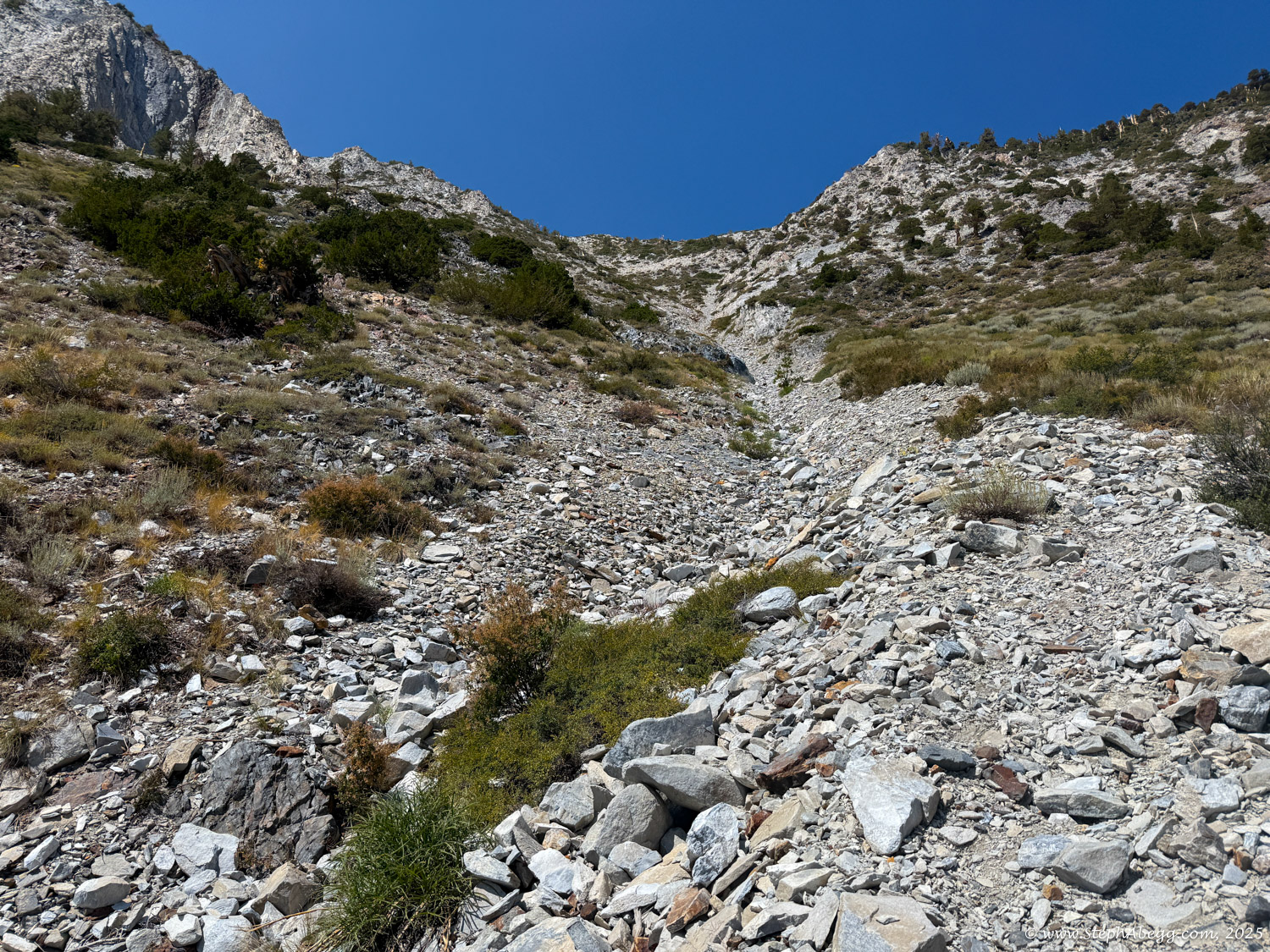
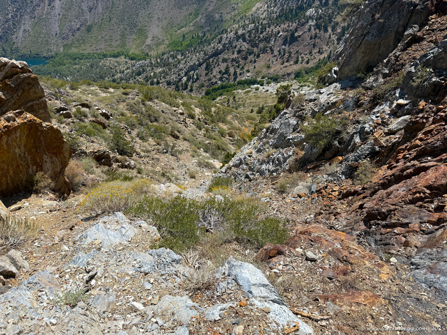
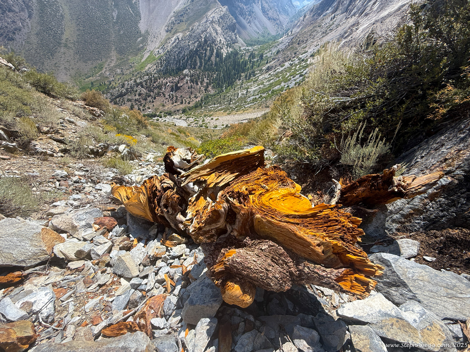
The Northeast Ridge of Laurel Mountain is a mile-long gully climb and a true test of endurance and route-finding, with 4,000 feet of gain from trailhead to summit. Mostly 3rd- and 4th-class, it looks straightforward from afar but reveals a maze of gullies once on route—part Sierra scramble, part canyoneering. The pumice-like rock provides surprisingly solid climbing amid fields of choss, with colorful intrusions of red, white, gray, and black rock for geologic flair. Most climbers solo, though some carry a short rope for steeper steps; sticky-rubber approach shoes are ideal.

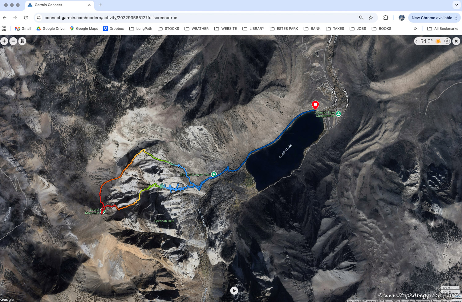
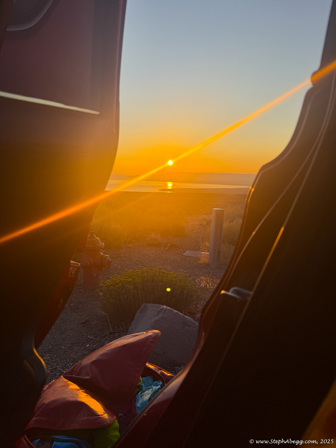
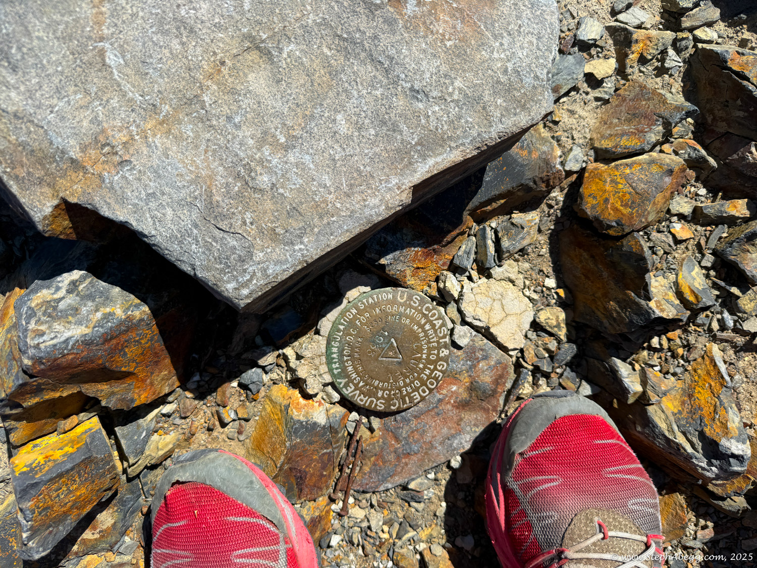
I had climbed the Incredible Hulk car-to-car the day before, but struggle with sanity on rest days, so I wanted a “light” solo outing for the day. With its short approach and non-technical nature, the Northeast Ridge fit perfectly—and delivered. This page includes an overlay, map, time stats, and photos from the climb.

Time Stats

Times
Begin approach from Convict Lake: 7:55 am
Base of Northeast Gully: 8:36 am
Summit: 10:39-11:07  am
Begin descent: 11:07 pm
Car: 1:10 pm
Splits
Approach: 41 min
Climb route: 2 hours 3 minuts
Descend to car: 2 hours 3 minutes
Total time: 5 hours 15 minutes (includes 28 minute break on summit)

Pitch-by-Pitch Photos

Climb Northeast Gully

5.2
Climbing the gully up Laurel Mountain is a mile-long test of endurance and route-finding, weaving through 3rd- and 4th-class terrain. From afar the line looks clear, but up close it’s a maze of gullies, part Sierra scramble, part canyoneering. The pumice-like rock makes for surprisingly solid climbing amid surrounding choss, with colorful intrusions adding geologic interest. Most climbers solo, though some carry a short rope for steeper steps; sticky-rubber approach shoes are ideal.

Descent

North Ridge
There are three reasonable descent options: (1) Laurel Creek Trail and Convict Canyon Trail back to Convict Lake, (2) Laurel Creek Trail to Sherwin Creek Road, and (3) the North Ridge.

I chose the North Ridge since it’s the shortest and doesn’t require a car shuttle. This descent is about 4 miles. From the summit, head west and parallel the north ridge for roughly a mile, keeping near the crest. After about a mile, the ridge becomes more defined and a large cirque appears to the north. Step onto the ridgeline for a few hundred yards until you find a scree-and-sand gully dropping east. Once in the main gully, the steep scree gives way to steep sand and low shrubs. An intermittent use trail continues all the way back to Convict Canyon Trail, within about a hundred yards of where the climb began.

Note: I descended a scree gully as per the route descriptions I had. However, I noticed that my OnX map had a dotted path drawn a little further to the north, so perhaps there is a better descent than what I chose.

Comments Pertaining to this Page / Trip Report

Useful beta. Updated route information. Corrections. Historical notes. Interesting facts. No fluff please.
Please do not put links in your comment, as my spam filter will filter those comments out.
Leave a Reply

Your email address will not be published. Required fields are marked *