Alice, Central Ramp (5.8, 6p)

Mt. Alice

Route:

Central Ramp

5.8, 6p

A moderate climb up a steep face towering above the beautiful Wild Basin of Rocky Mountain National Park. off my remaining Fifty Classic in Colorado.

Region: Colorado
Elev: 13,310 ft
Rock type: Granite & Gneiss
Type: 
Date(s): August 7&8, 2020 (Fri&Sat)
Partner(s): Nate Arganbright

Route Overlay

CLICK TO ENLARGE

Intro

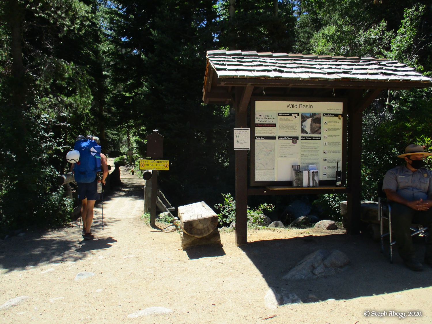
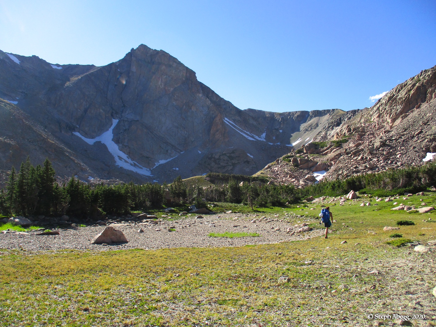
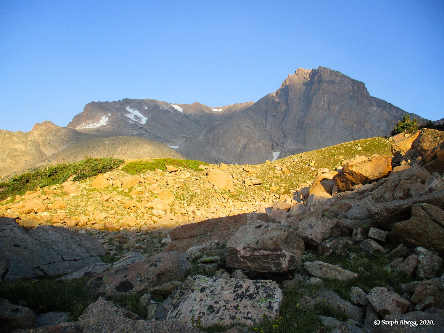
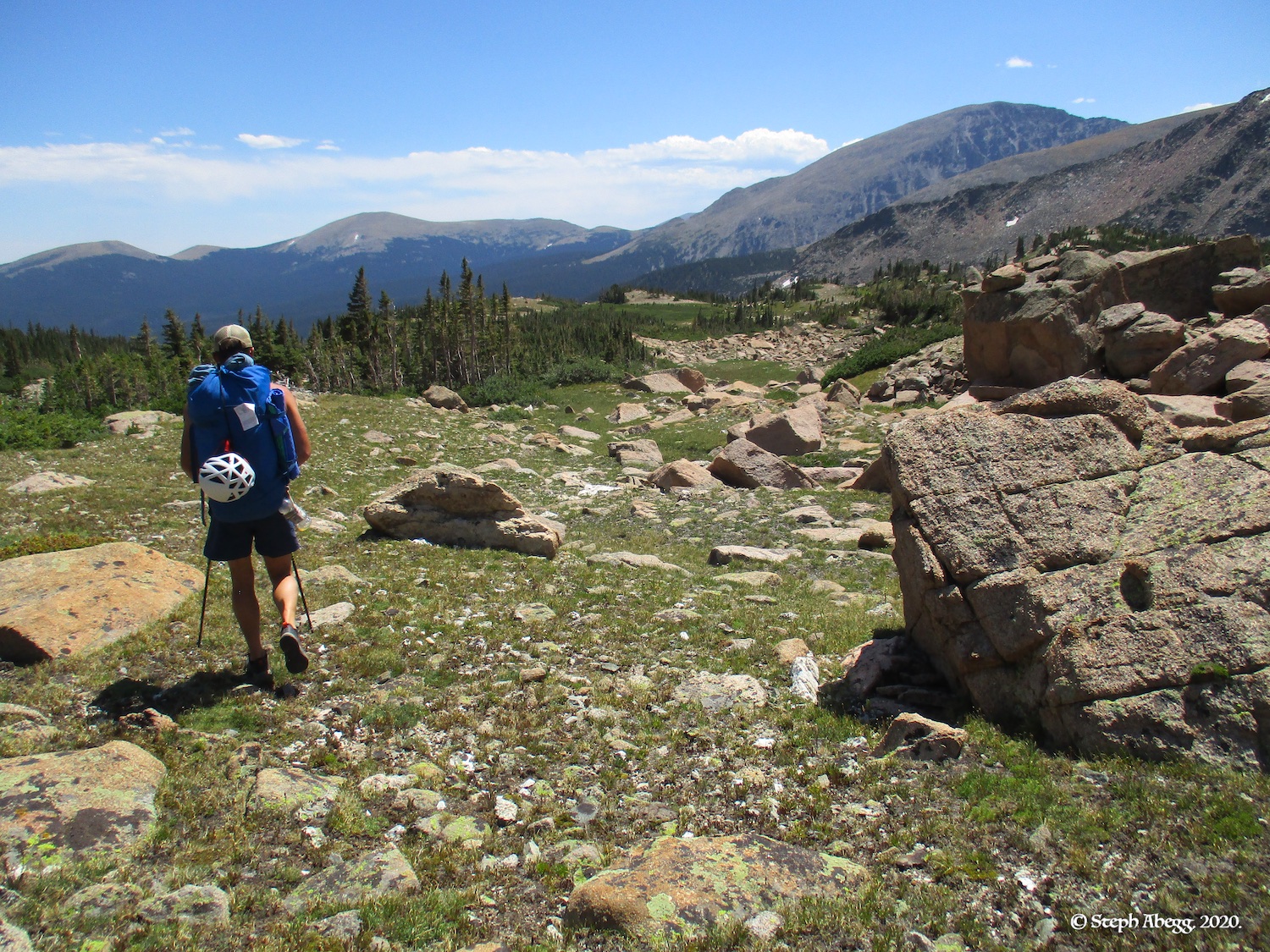
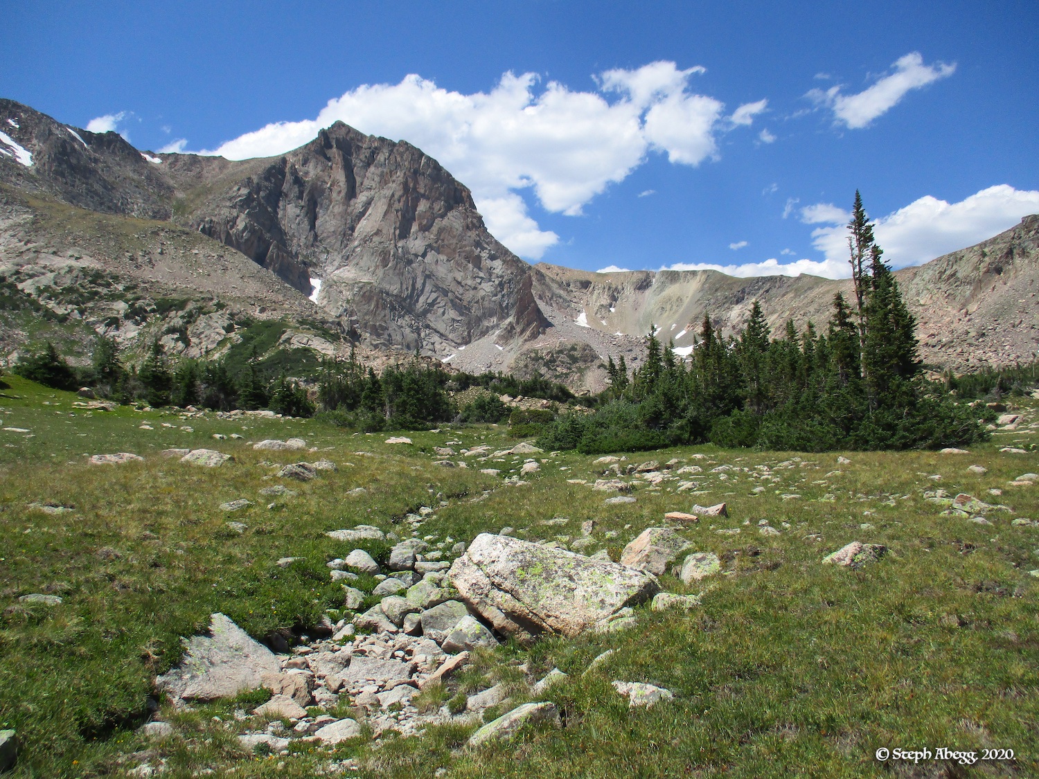
Mt. Alice is among the highest and most striking peaks of Rocky Mountain National Park, towering above the beautiful and remote Wild Basin. A number of routes have been completed on the steep east face. It would be a more popular summit if it weren't a 9 mile hike in from the Wild Basin trailhead. But the remoteness and location are part of the appeal as well.

The weekend weather looked splitter. So Alice was a great choice for crowd avoidance. Plus, the east face of Mt. Alice would add to the list of the park's biggest walls that Nate and I had climbed that summer, including The Diamond, Spearhead, Chiefs Head, Arrowhead, Petit Grepon, Cathedral Wall.

The initial plan was to climb two routes: the Central Ramp (5.8, 6p) the first day and the Central Pillar (5.11, 6p) the next. But we finished the Central Ramp so quickly (less than 2 hours on the route, and back at camp by 1pm) that we decided to just hike out, make a good meal for dinner, and climb Hallett the following day (to add to the list of walls we had climbed in a single summer).

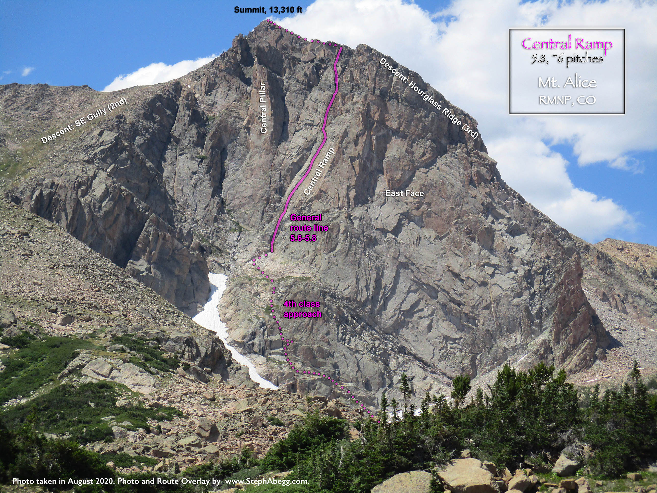
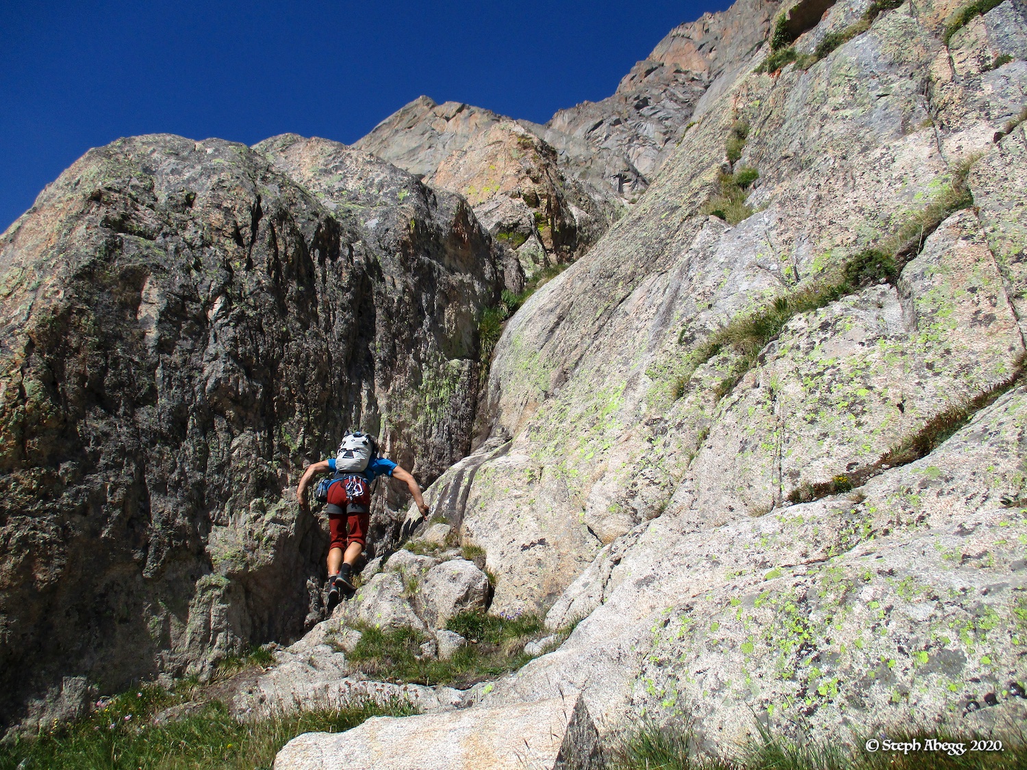
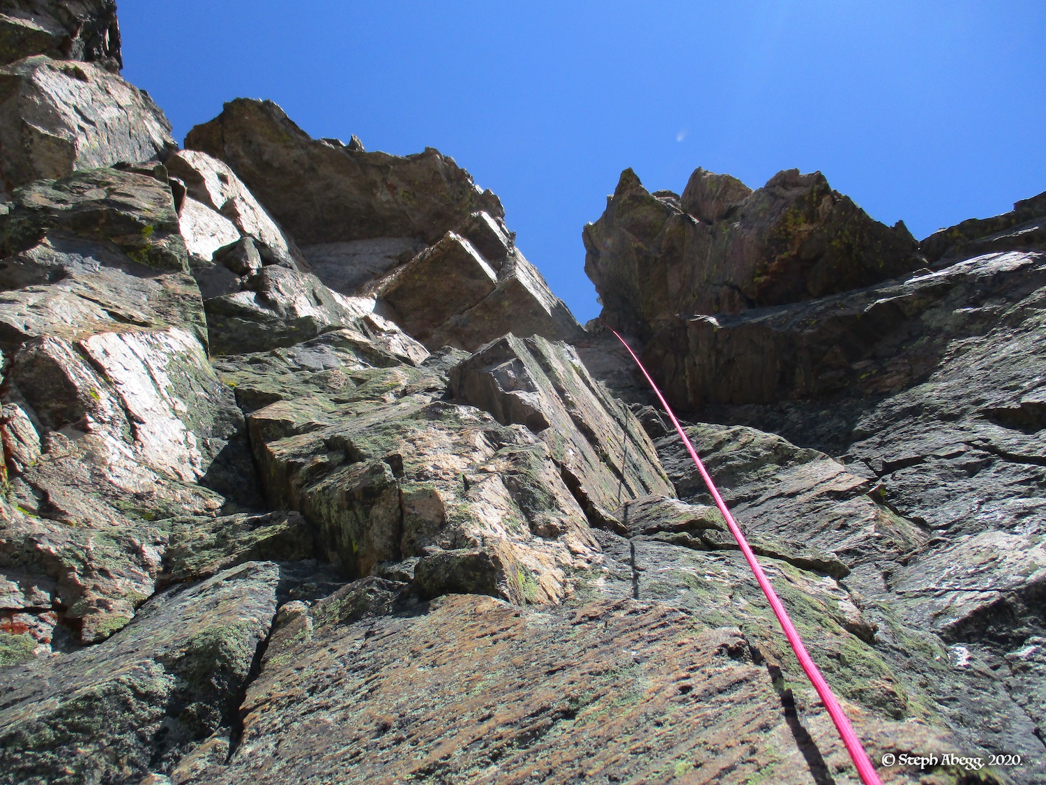
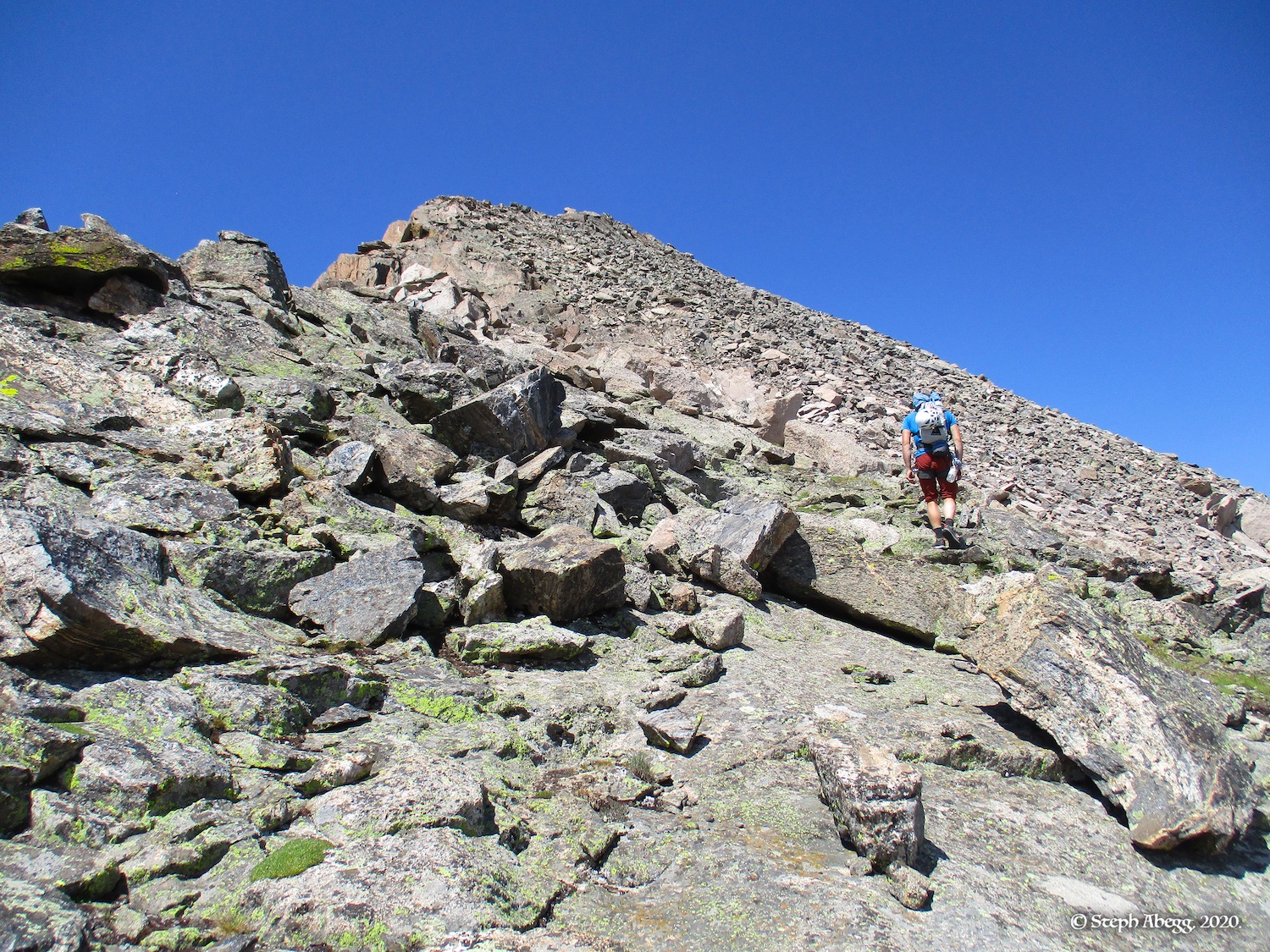
The Central Ramp — the most popular technical route up the steep east face of Mt. Alice — ascends the steep ramp along the left edge of the main east face. The climbing is adventurous and sustained in the 5.7-5.8 range and requires a little bit of everything—stemming, laybacking, hand cracks, chimneys. The route is broken down into six pitches in the guidebook, but Nate and I climbed it in three pitches with some simulclimbing. For the most part we followed our noses, but we generally followed the route as per the guidebook description with a few variations here and there. Because we simulclimbed and added our own variations to the route, it is difficult to distinguish the pitches in my photos exactly, but our three simulclimbed pitches were roughly Pitches 1-3, Pitches 4-5, and Pitch 6.

The following page gives a trip report for the climb. Enjoy!

Time Stats

Wild Basin Trailhead to bivy (including stopping to swim in Lion Lake #1): 3 hours 52 minutes
Bivy to base of route: 53 minutes
Climb route: 1 hours 52 minutes
Top of route to summit: 23 minutes
Descent back to bivy (via SW Gully): 1 hour 19 minutes
Hike back to trailhead): 2 hours 35 minutes

Pitch-by-Pitch Photos

THIS TRIP REPORT IS STILL MOSTLY IN THE EMBEDDED HTML FORMAT OF MY OLD WEBSITE.

Photos:
Photo descriptions:
Approach
Hike the Wild Basin trail to the Lion Lake Trail to Lion Lake 1. From here, continue cross country  for 1.5 miles to the east face of Mount Alice. The approach is roughly 9 miles from trailhead. 

There are a few ways to get to the base of the Central Ramp (see guidebook). We scrambled up 4th class terrain on a general leftwards trend all the way to the base of the route. See the route overlay for our general approach.
1.    
2.    
3.    
4.    
5.    
6.    
7.    
8.    
9.    
10.    
11.    
12.    
13.    
14.    
15.    
16.    
17.    
18.    
19.    
20.    
21.    
22.    
23.    


1. Wild Basin Trailhead.
2. Mt. Alice from Lion Lake #1. This is where we cut off the trail and headed cross-country towards Mt. Alice.
3. Nate taking a refreshing dip in Lion Lake #1.
4. The Elephant's Head were at the tail end of their peak.
5. Always fun to wonder what celebration a deflated balloon in the mountains originally came from.
6. Approaching Mt. Alice. This is close to where we camped for the night.
7. Where we set up our bivy.
8. Collecting water from a tarn near our camp.
9. Lots of protein in this water.
10. Nate's burrito.
11. My mashed potatoes.

12. Hot chocolate and instant pudding for desert.
13. Mt. Alice in morning light.
14. Another photo of Mt. Alice in morning light.
15. Taken from the tarn near camp.
16. Some pretty asters.
17. Approaching Mt. Alice from camp.
18-19. Nearing the base of the east face. We went left here over the snowfield and then up to the base of the Central Ramp.
20-21. Scrambling 4th class to the base of the 
Central Ramp.
22-23. Nearing the base of the route.

Pitches 
1-3
Description for what we climbed. Our route follows the guidebook description with some variations but stayed at a 5.7-5.8 grade. We simulclimbed Pitches 1-3 as one long pitch.

Pitch 1: ~5.8. Climb a dihedral. You can also climb a 5.5 chimney to the right of the dihedral. 


Pitch 2: ~5.6. Climb cracks and corners up the ramp.

Pitch 3: ~5.7. Climb cracks and corners and featured face up the ramp. Stop at an area of ledges.
24.    
25.    
26.    
27.    
28.  
24. Starting up the 5.8 dihedral of Pitch 1. The 5.5. chimney is just right of this.
25. Above the Pitch 1 dihedral, probably Pitch 2.
26. Probably Pitch 2.
27. Pitch 2 or 3.
28. Cool quartz crystal jugs.

Pitches 
4-5
Description for what we climbed. Our route follows the guidebook description with some variations but stayed at a 5.7-5.8 grade. We simulclimbed Pitches 4-5 as one long pitch.

Pitch 4: ~5.8.
Climb up the left edge of a cleft via laybacks, stems and jams. Continue past a chockstone. 

Pitch 5: ~5.8. Stem and layback a short steep wall around a roof and right-facing dihedral system. Continue upwards to the base of a hand crack in an open corner.
29.    
30.   
29. Looking up our second pitch. I think this is probably Pitch 4 or so.
30. Climbing on Pitch 4 or 5.


Pitch 
6
Description for what we climbed. Our route follows the guidebook description with some variations but stayed at a 5.7-5.8 grade. This pitch was about 200 feet so we did not do any simulclimbing.

~5.8. 
Climb the hand crack in the open corner. From the top of the hand crack, exit left, and then climb up through a band of gneiss to the summit ridge.
31.    
32.   
31. For our final pitch, we climbed the handcrack in the dihedral, exited left, and then climbed straight up to the summit ridge. This doesn't quite   match up with the guidebook description for this pitch and there were certainly other ways to go as well.
32. The final stretch to the summit ridge.

Scramble
Hike up the talus slope to the summit.
33.  33. Headed up the summit ridge to the summit.

Top!
Yay! 
34.    
35.   
34. On top!
35. 
View of Chiefshead, Longs, and Meeker from the summit of Alice.

Descent
There are a few ways to descend (see guidebook). We returned to Lion Lakes Basin via the Southwest Gully (Class 2). 
36.    
37.    
38.    
39.    
40.    
41.    
42.    
43.    
44.    
45. 
36. Starting down the ridge towards the Southwest Gully.
37.
 Southwest Gully descent.
38. Looking back up the Southwest Gully during the descent.
39. The moraine features in the basin below Alice.
40. Some quartz veins.
41. A view of Mt. Alice.
42. Hiking out.
43. Another view back at Mt. Alice from the hike out.
44. Some Star Gentian and Queen's Crown.
45. Queen's Crown.


Comments Pertaining to this Page / Trip Report

Useful beta. Updated route information. Corrections. Historical notes. Interesting facts. No fluff please.
Leave a Reply

Your email address will not be published. Required fields are marked *