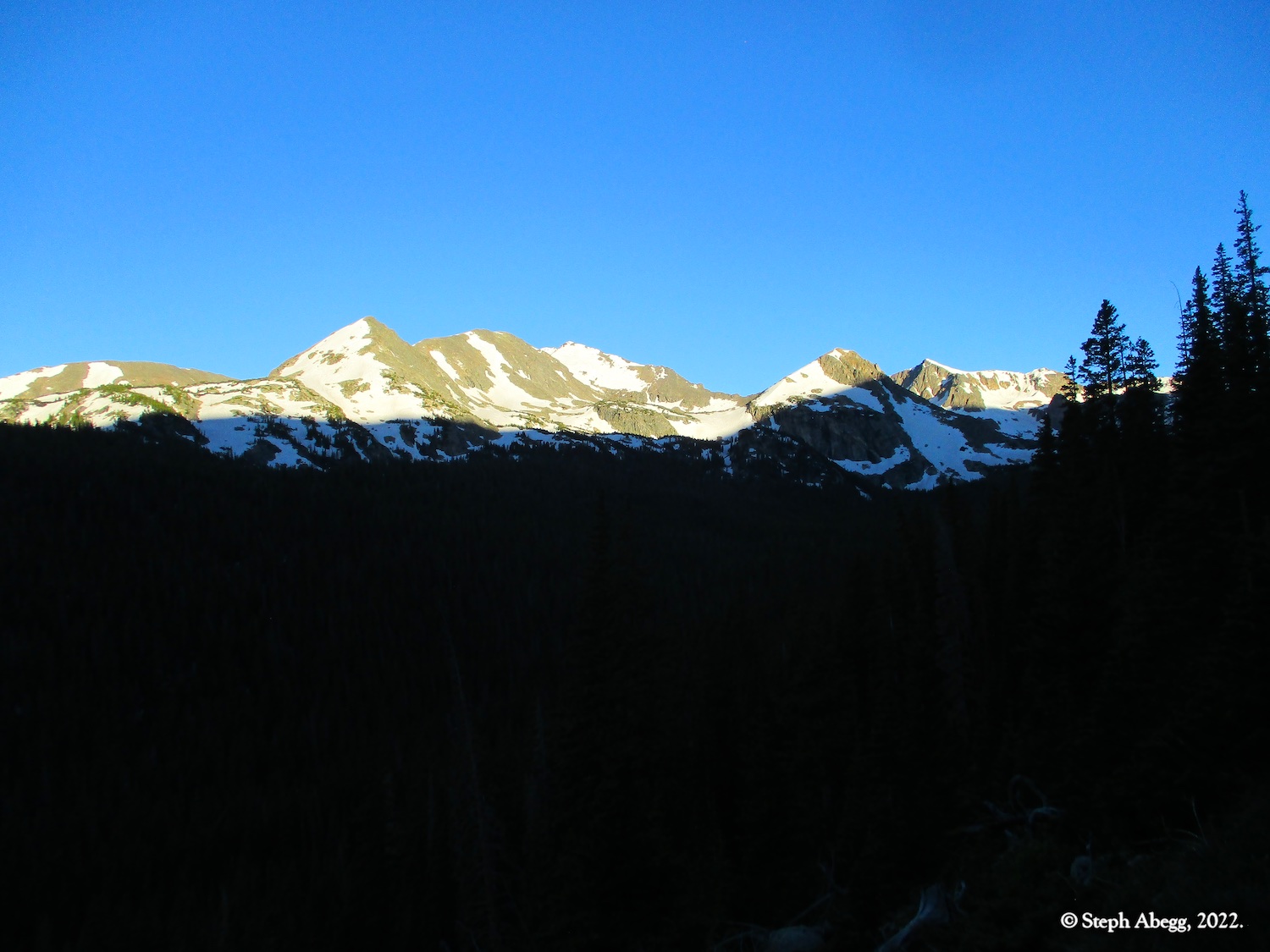
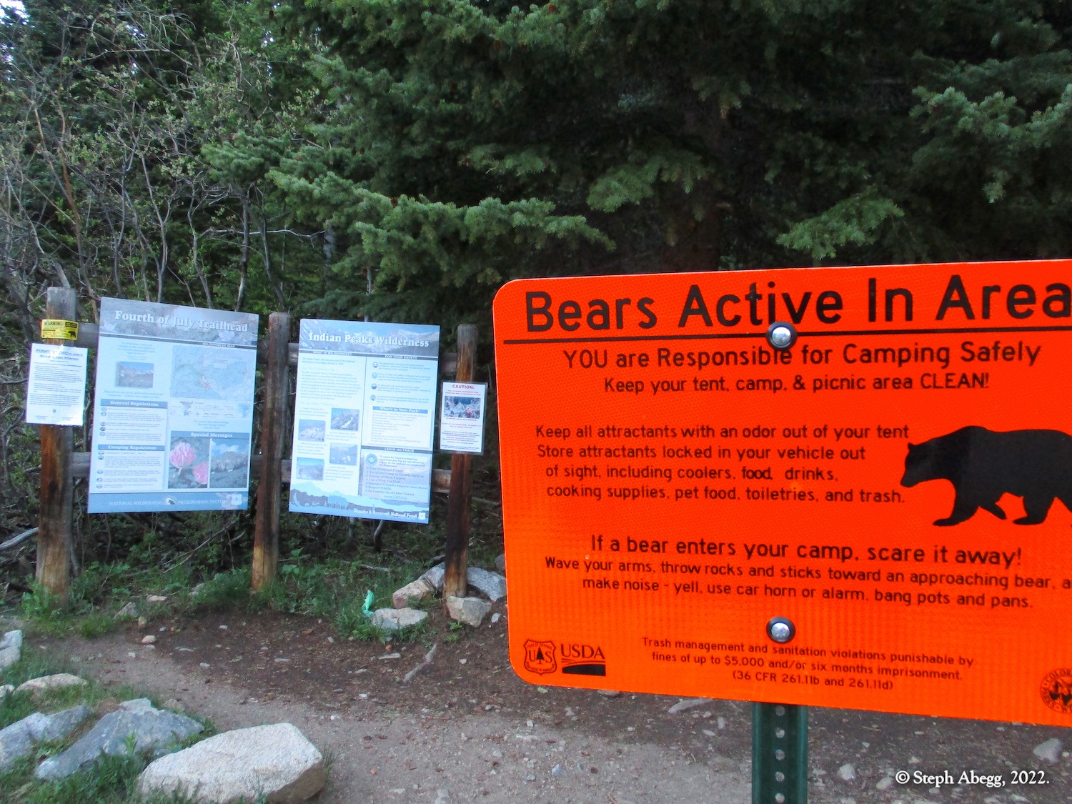
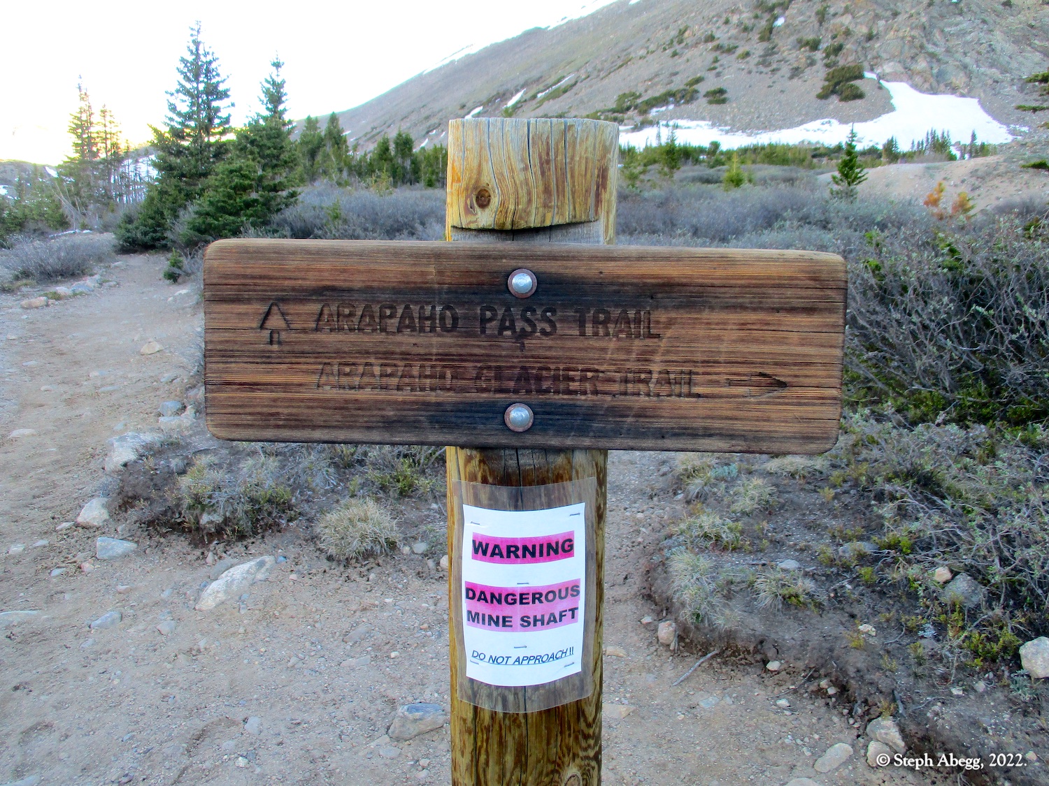
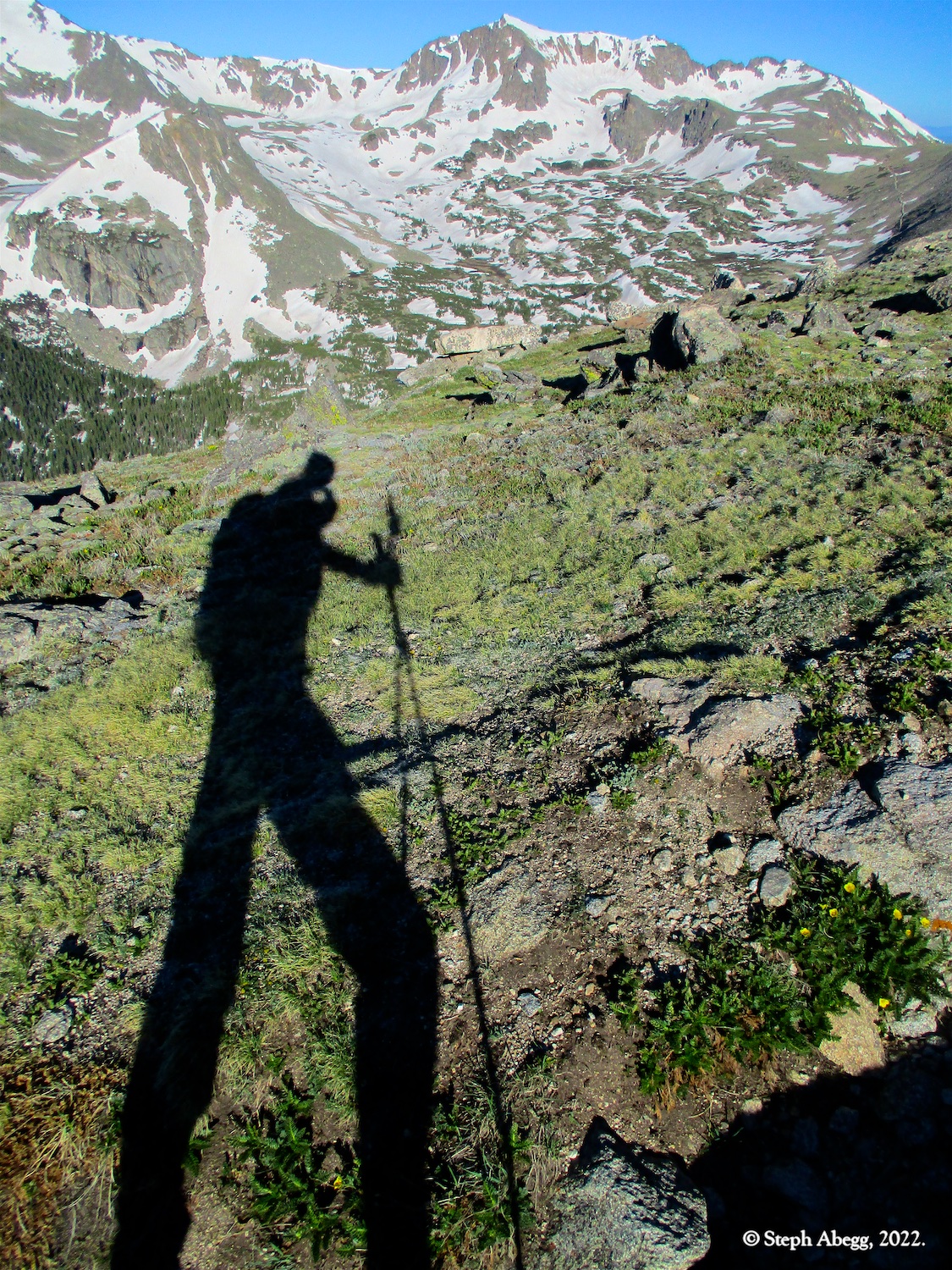
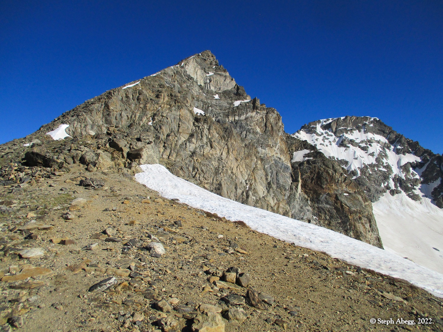
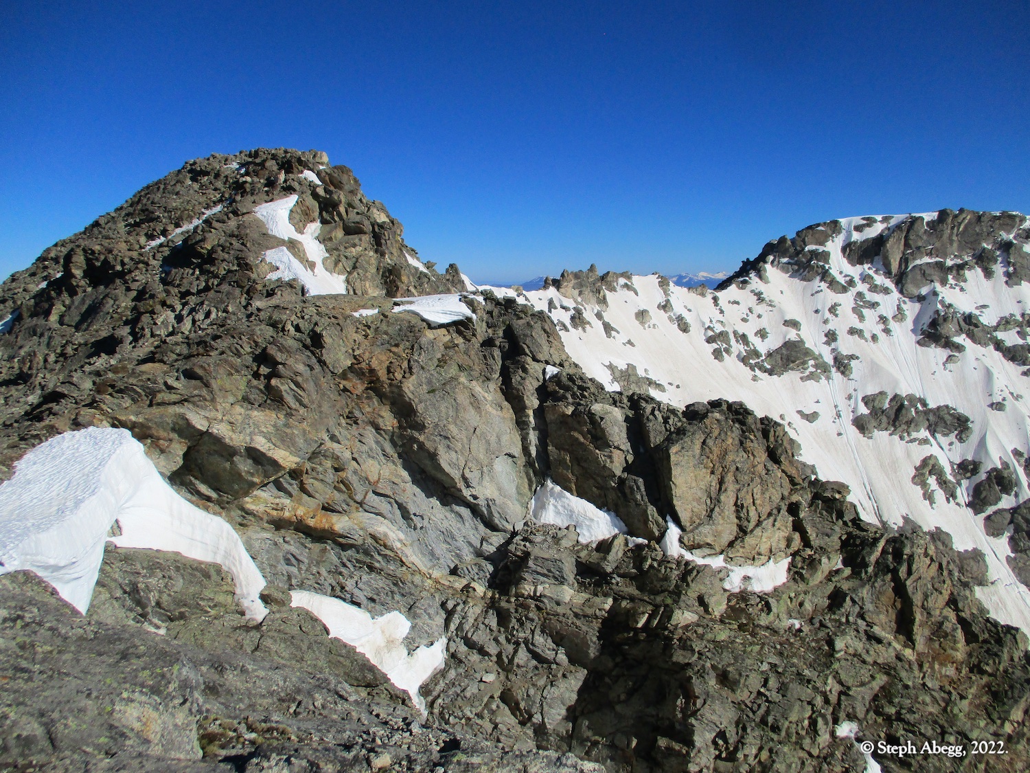
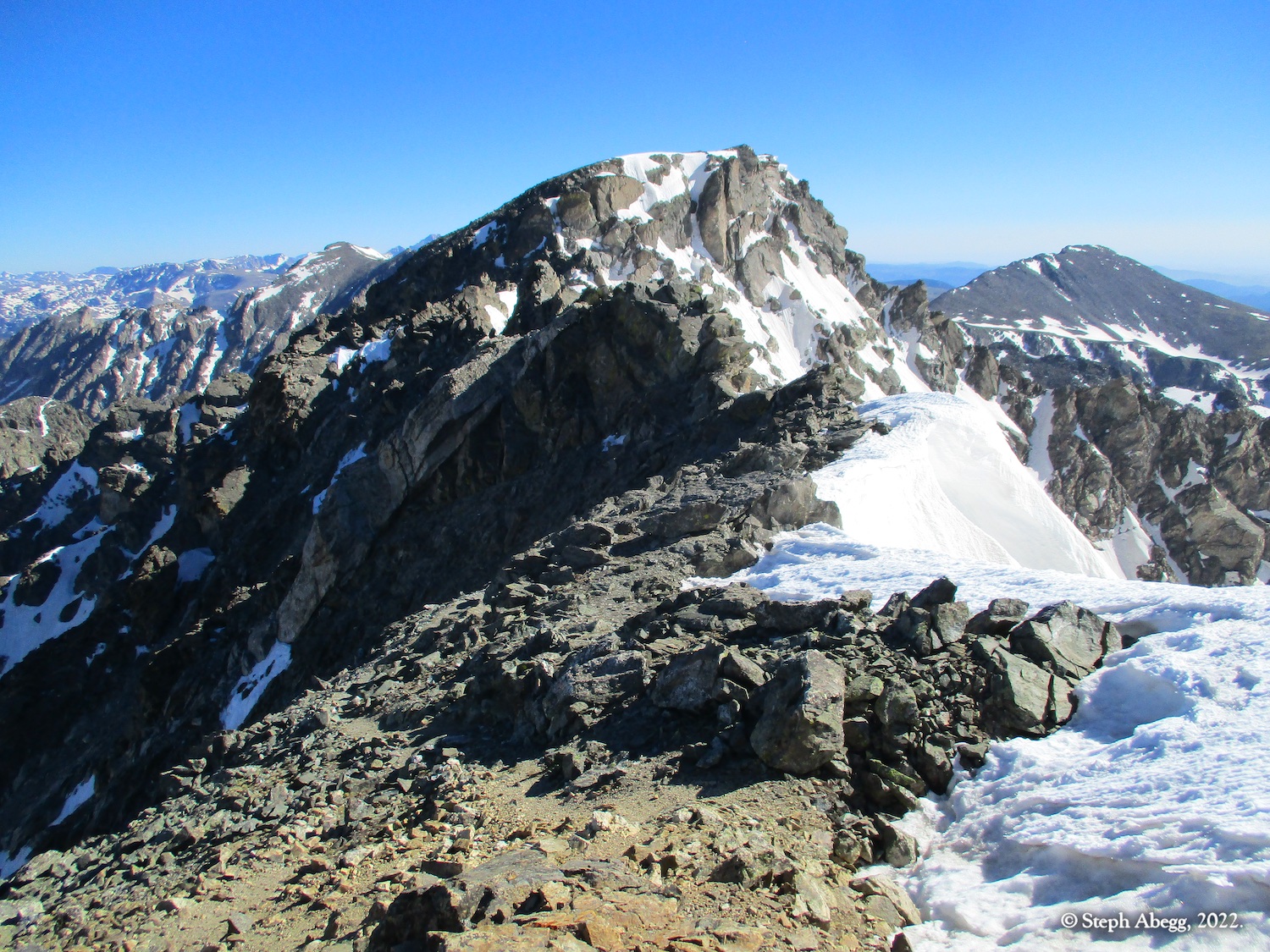
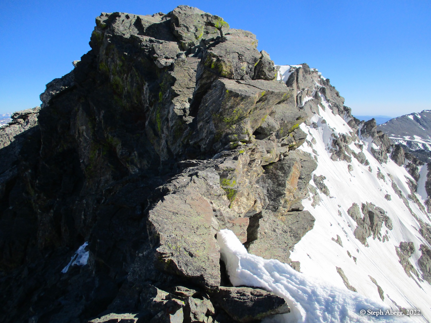
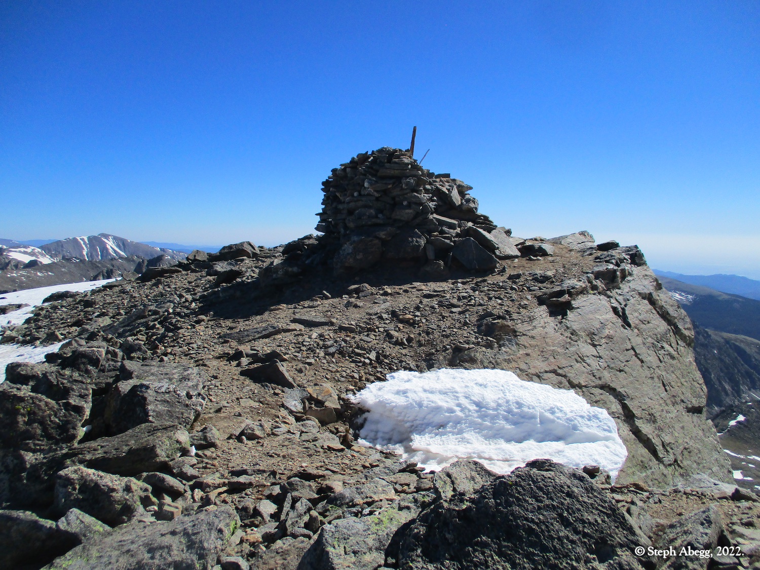
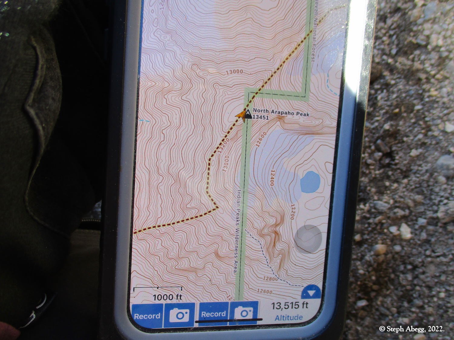
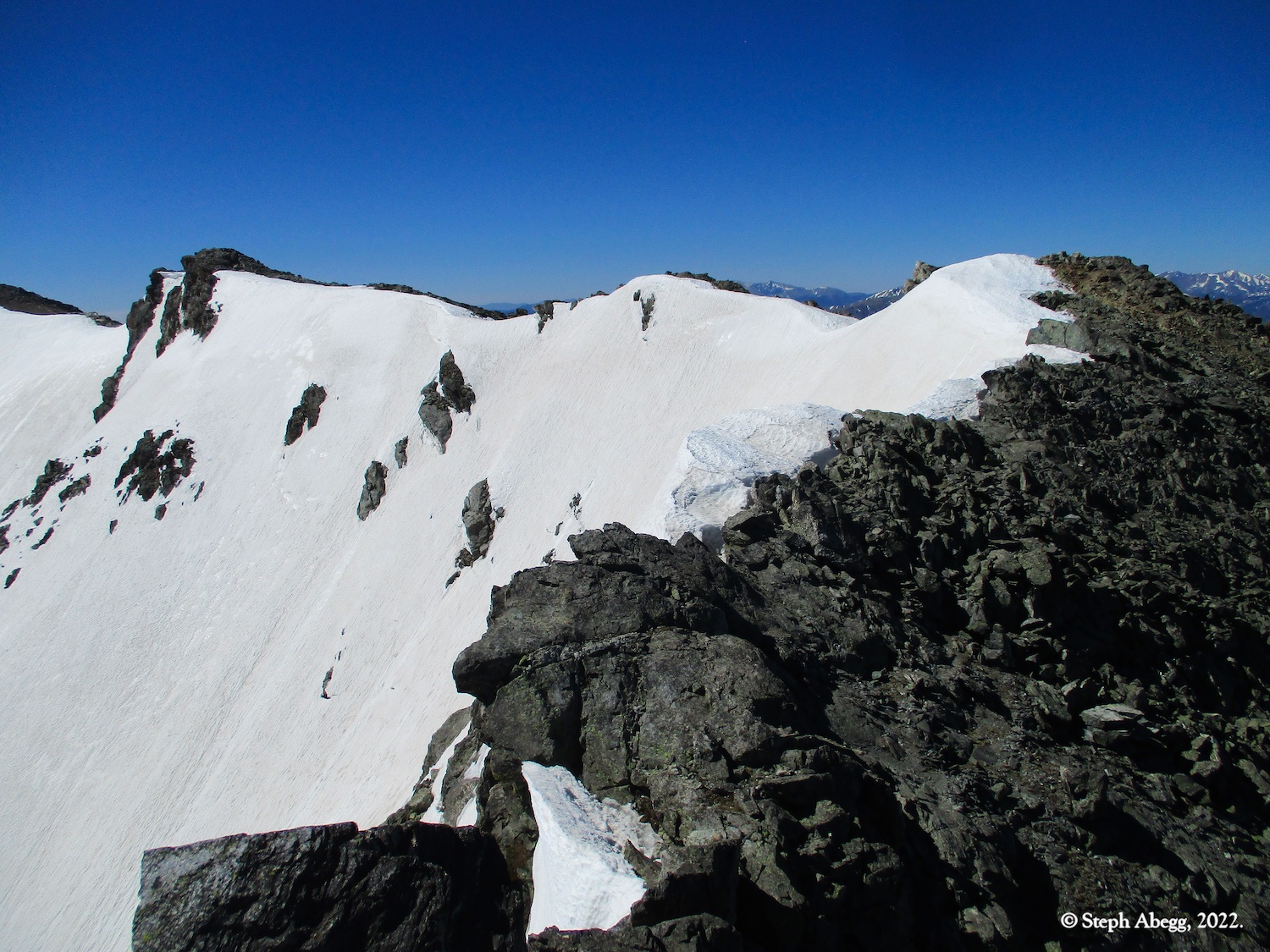
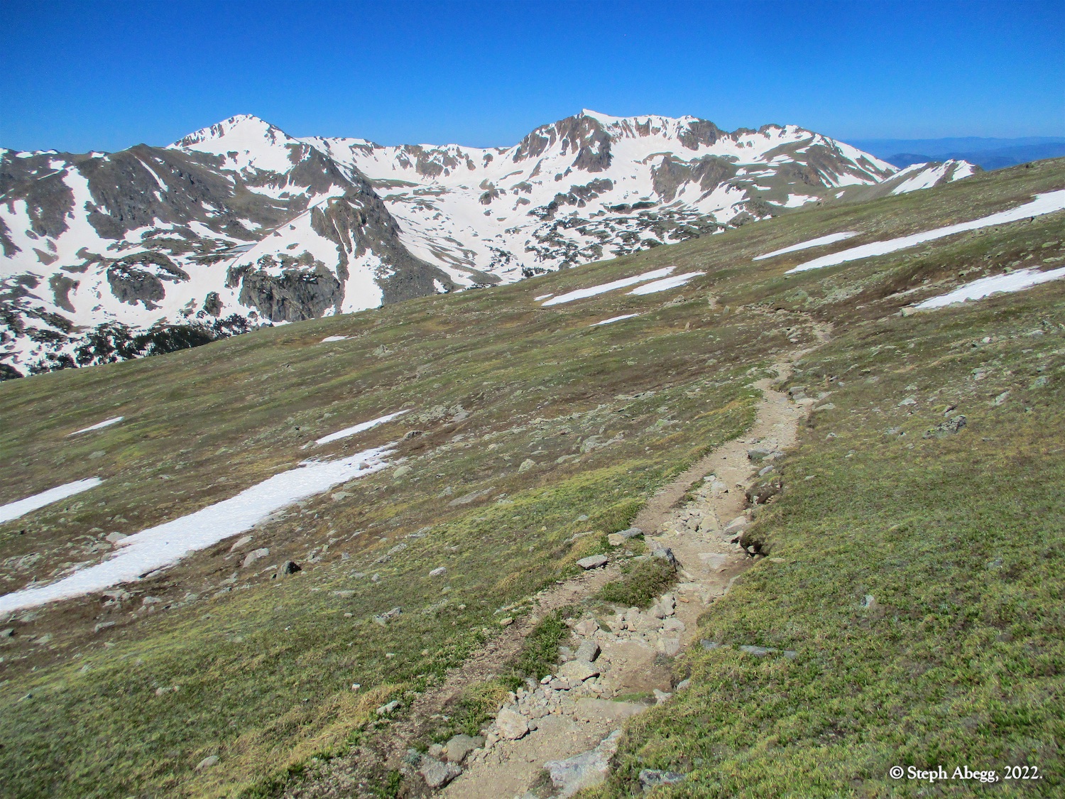
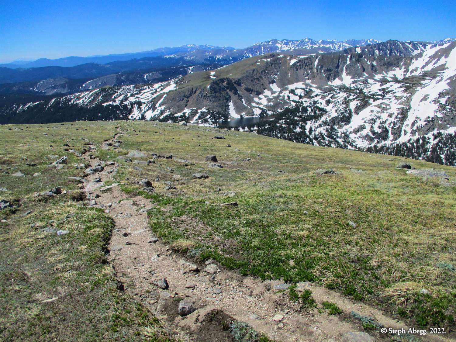
Arapaho Peaks (North and South)
Route:
Trail+Scramble
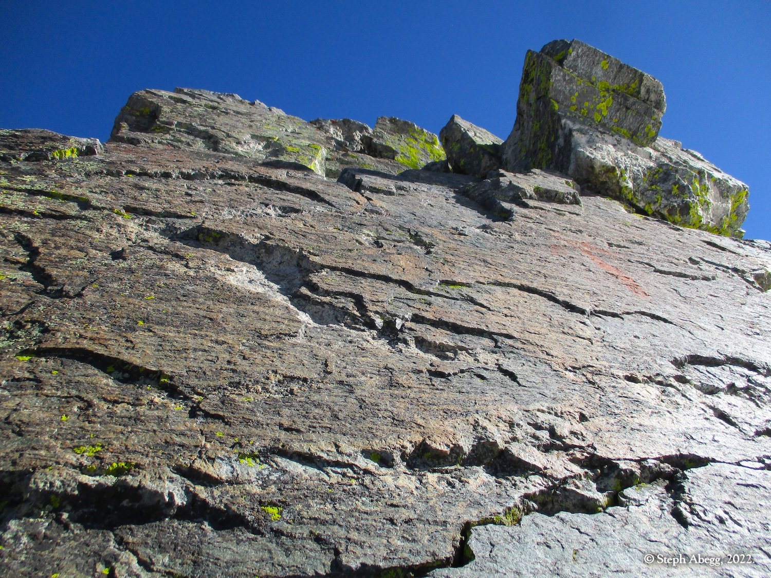
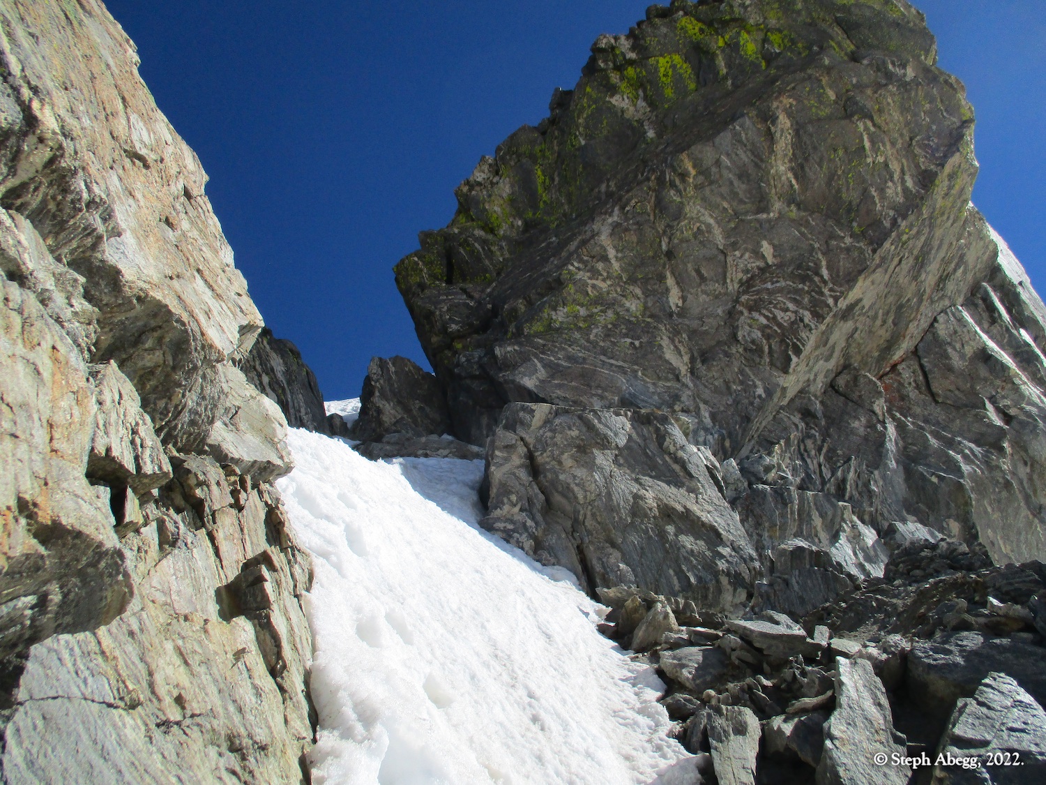
~9.5 miles round trip, 3650 ft gain/loss, 3rd/4th
Two summits with a fun ridge traverse to the highest point in the Indian Peaks Wilderness.
Region: Colorado
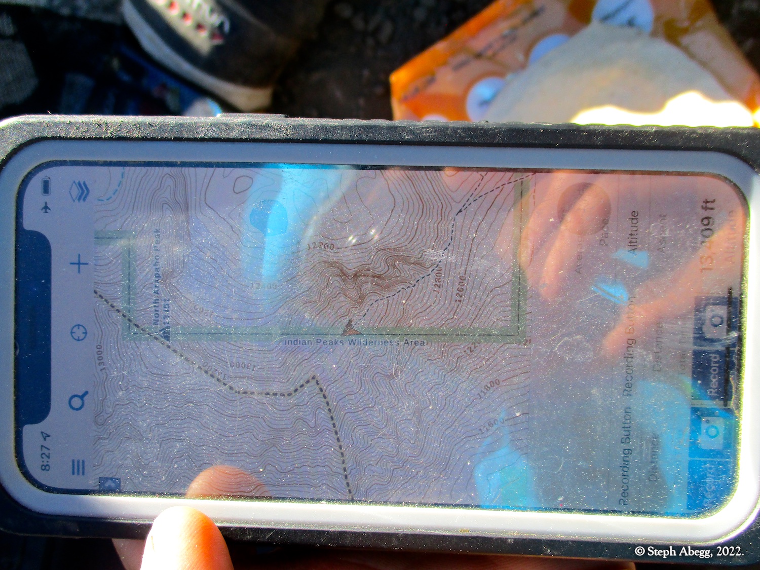
Elev: Fourth of July Trailhead Elev: 10,121 ft; Summit Elev (S Arapaho): 13,397 ft; Summit Elev (N Arapaho): 13,502 ft
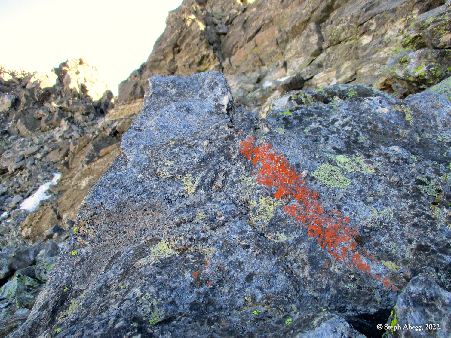
Rock: Gneiss
Mode:

Date(s): June 16, 2022 (Thu)
Partner(s): solo