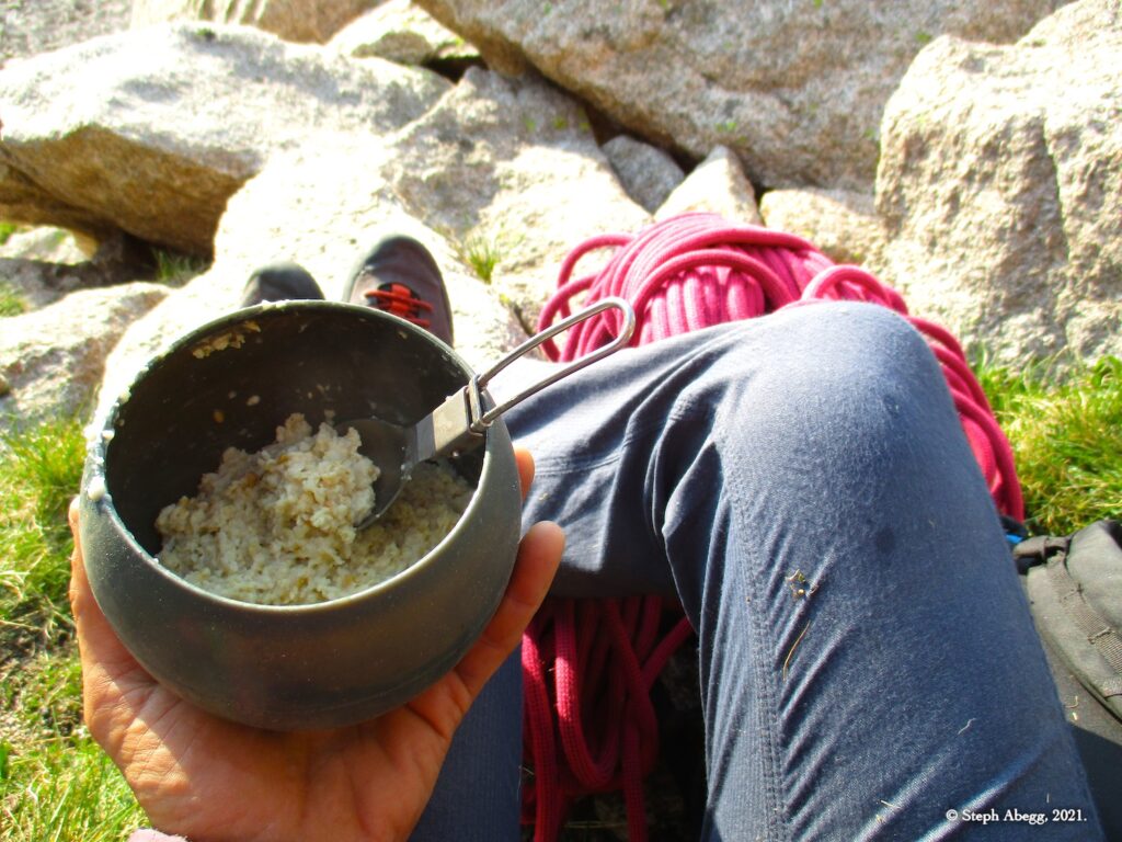
Arrowhead, Artemis (5.9+, 4p) and Raindance (5.9, 6p)

Arrowhead

Routes:

- Artemis (5.9+, 4p)
- Raindance (5.9, 6p)

Overnight bivy and two enjoyable climbs on sunny alpine granite.

Region: Colorado
Elev: 12,660 ft
Rock type: Granite
Type: 
Date(s): July 18&19, 2021 (Sun&Mon)
Partner(s): Nate Arganbright

Route Overlay

CLICK TO ENLARGE

Intro

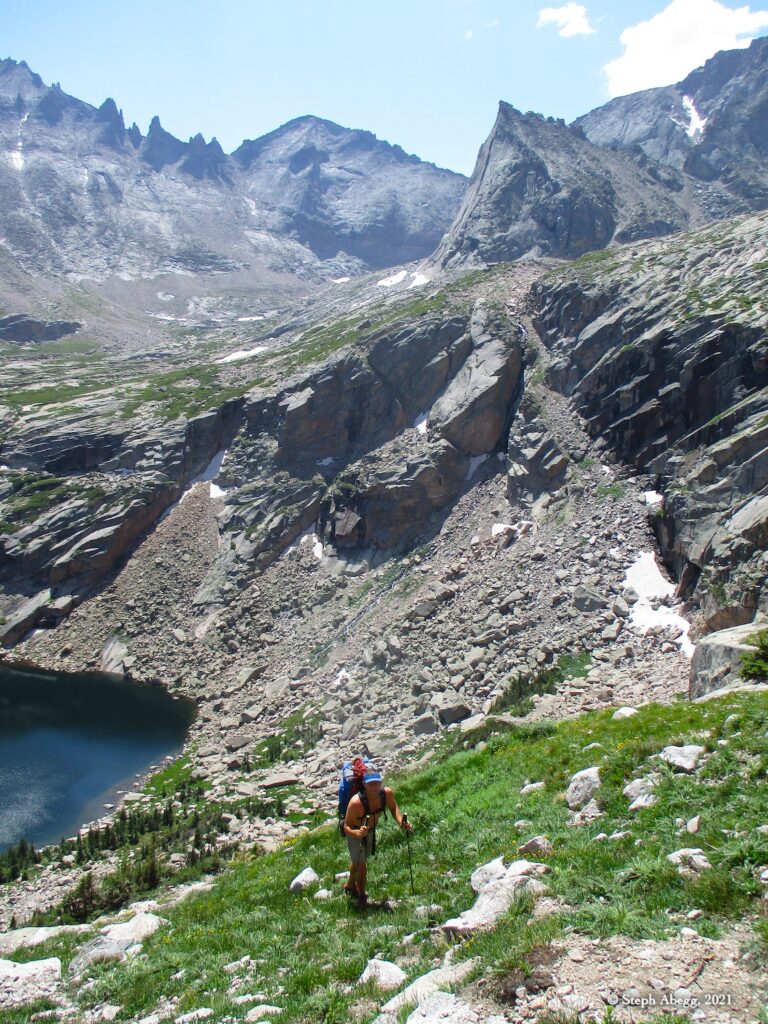
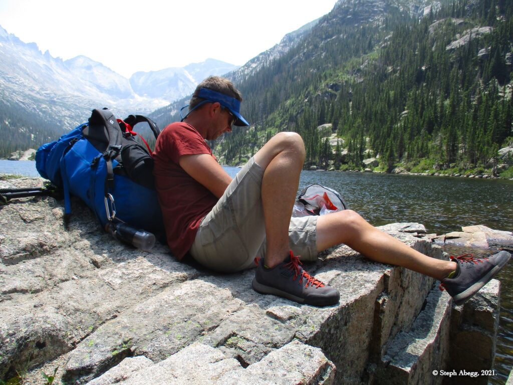
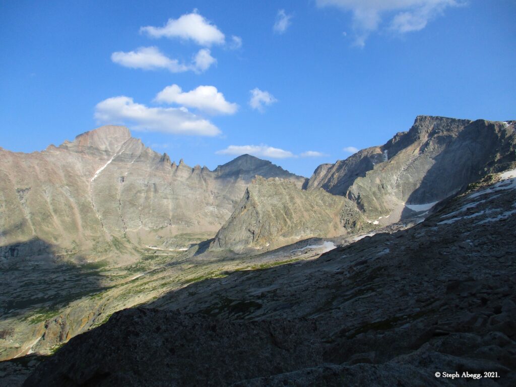
On this overnight trip into Upper Glacier Gorge / McHenry's Basin, Nate and I climbed two routes on Arrowhead. As of this trip I have climbed nine routes on Arrowhead (and Nate has climbed a couple of more in addition to those I have climbed). I'll never tire of the sunny and secluded alpine granite of Arrowhead. (Links to trip reports for the other climbs I have done on Arrowhead are at the top of this page.)

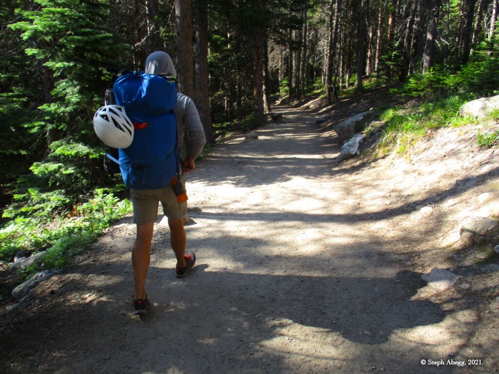
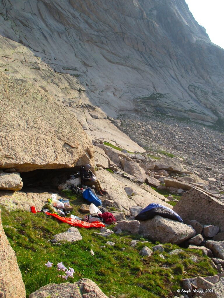
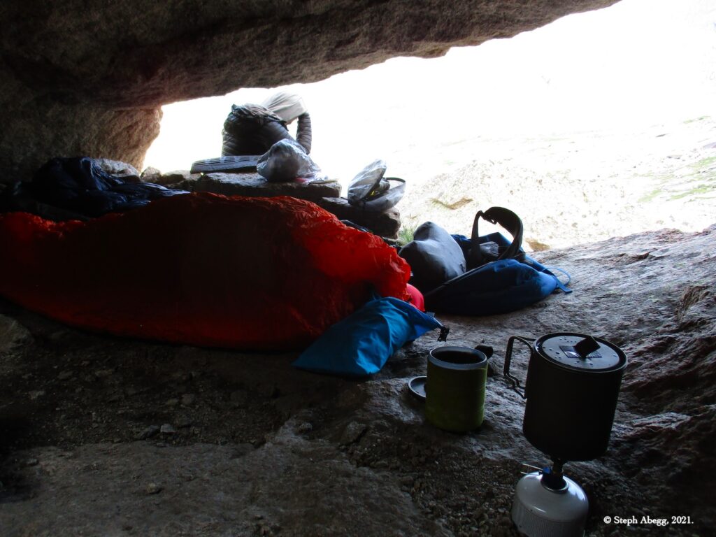
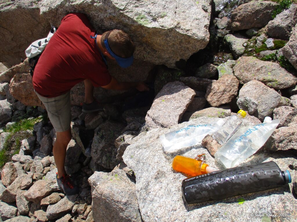
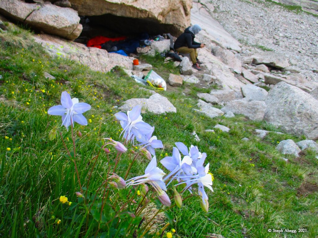
Nate and I got a rather leisurely start by picking up a bivy permit at the backcountry office at 8:30am (the bivy permit also serves as a timed entry) and then hiking into Upper Glacier Gorge / McHenry's Basin where we arrived just after noon. We established our camp at our favorite bivy location, collected water, waited a couple of hours for a few parties to finish their climbs and vacate the basin, and then as a mid-afternoon jaunt climbed Artemis, a 4-pitch climb with a 5.9+ crux pitch that climbs to the top of an obvious dihedral on the left side of the wall, just above our bivy. We spent the remainder of the day relaxing at the bivy eating dinner, enjoying the views, and reading. The following day after enjoying a nice breakfast in the sun, we headed out to climb Raindance, a fun and quick 6-pitch 5.9 climb on one of the longer sections of the south face. We were back to camp well before noon, and back to the trailhead by mid-afternoon.

The following page provides a trip report for our two climbs and overnight up at Arrowhead. Enjoy!

Time Stats

Glacier Gorge Trailhead to bivy in McHenrys Basin: 3 hours
Bivy in McHenrys Basin to base of Shoshone: 8 minutes
Climb Shoshone: 1 hours 30 minutes
Descend back to camp (via Rappel Route): 15 minutes
Bivy in McHenrys Basin to base of Raindance: 9 minutes
Climb Raindance: 2 hours 17 minutes
Descend back to camp (via Rappel Route): 37 minutes
Hike back to trailhead: 2 hours 30 minutes

Climbs We Did

CLICK ON ROUTE TO DROP DOWN CONTENT

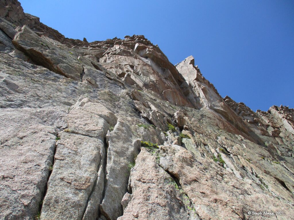
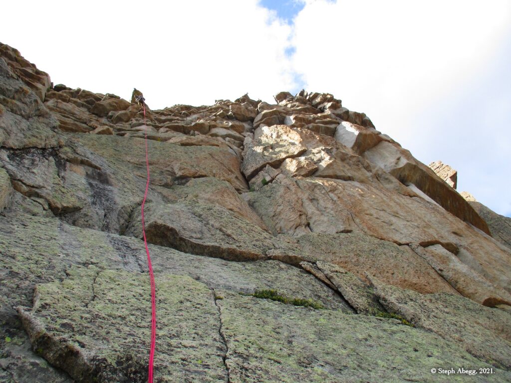
Artemis climbs to the top of the obvious dihedral high on the left side of the wall. I thought that the 5.9+ pitch, although quite good, was no gimmie.

Pitch-by-Pitch Photos

Approach

3rd
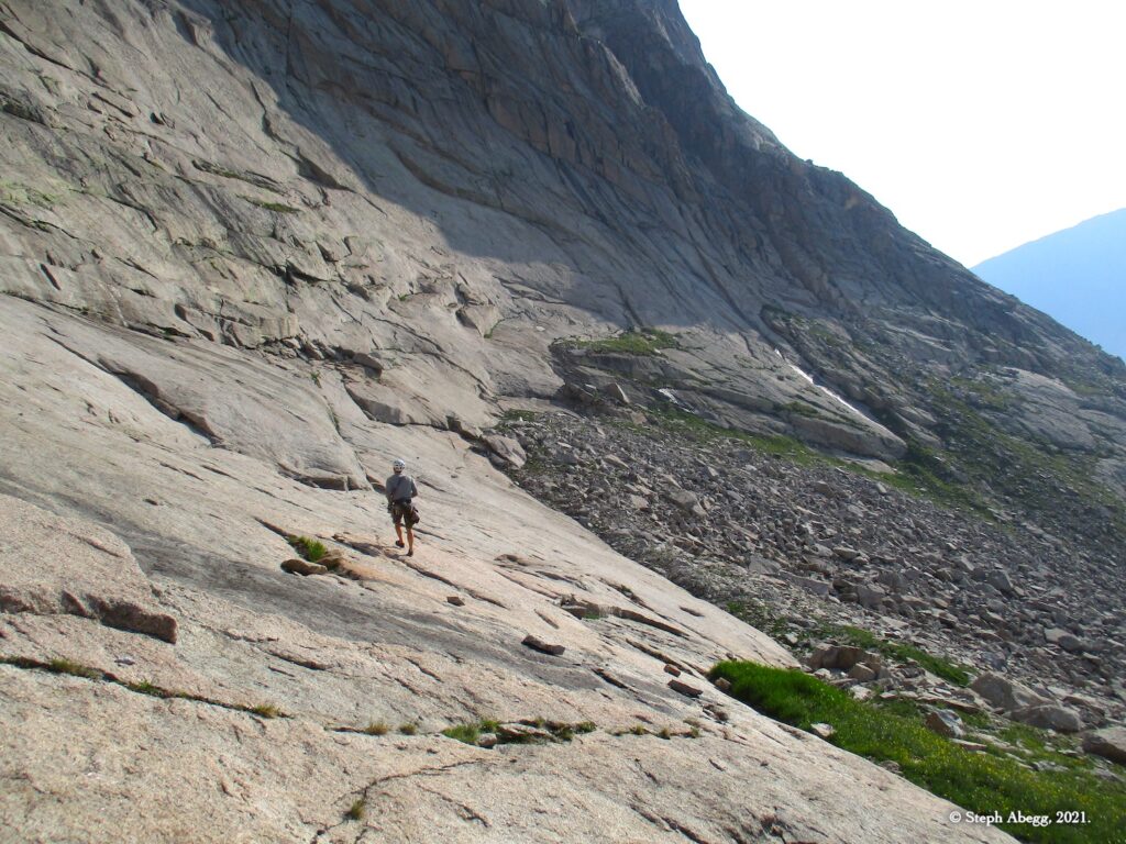
Begin about 100 feet right of the low point and scramble up and right along a ramp to the base of the route.

Pitch 1

5.6, 100-150'
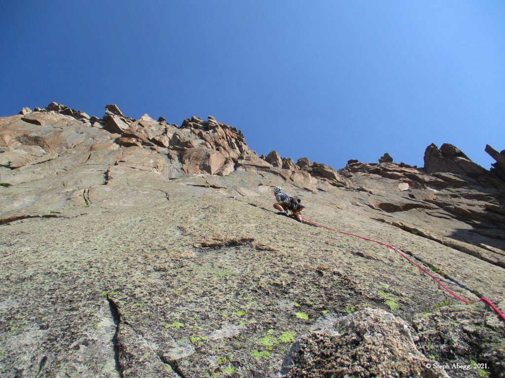
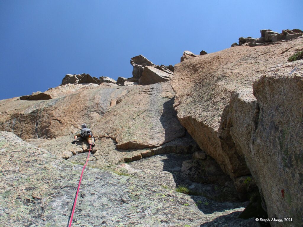
Work up flakes to a right-angling ramp that leads to a large flake. A bit of your choose your own adventure pitch.

Pitch 2

5.4, 100-150'
Head up and right from the flake. Traverse a narrow, rising ledge to its right side and belay at the start of a huge, hanging, left-facing dihedral.

Pitch 3

5.9+, 80'
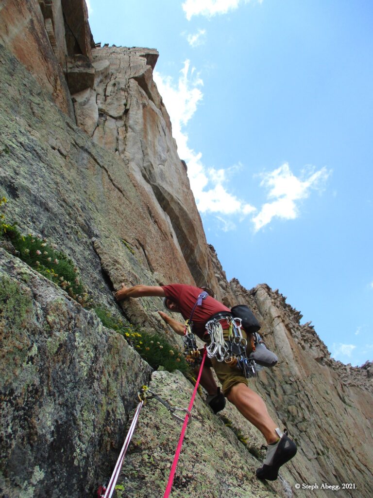
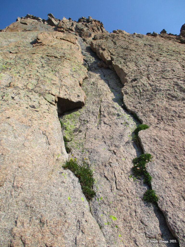
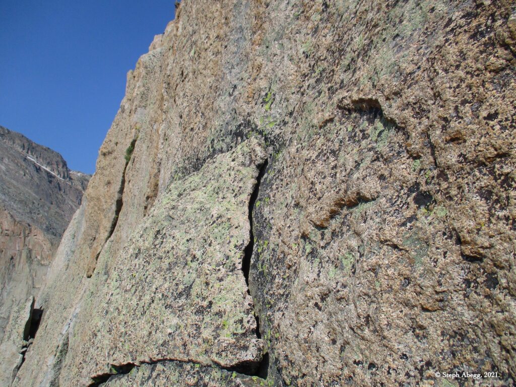
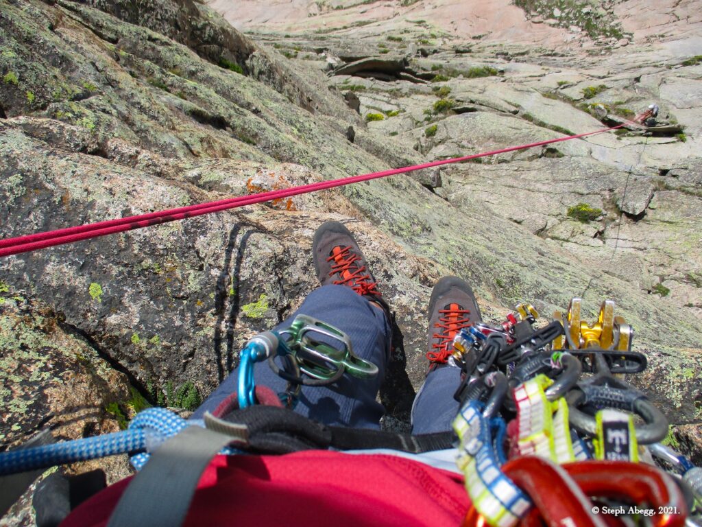
Lieback a crack to an overhang and pull through on the left. Go past a ledge to a second one that's just right of a big roof. Although the climbing was good, I found the rock on this pitch to be a bit flakey and the climbing to feel a bit insecure; it got to my head a bit and I struggled more than I would have liked on my lead.

Pitch 4

5.7, 80'
Climb the dihedral to the ridge crest.

Top

12,660 ft
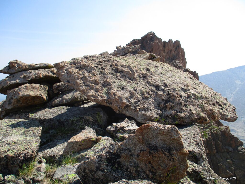
The route ends much closer to the beginning of the rappels than the summit, so if you've already tagged the summit before, it may be tempting to just start the descent.
(No photos. See photos for other ascents of Arrowhead.)

Descent

Rappel
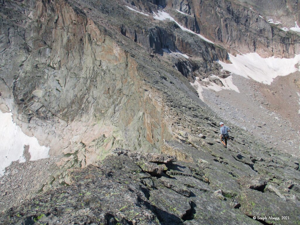
Scramble down to the low point between Arrowhead and McHenry's Peak, which is very close to where Artemis tops out. Locate the first rap station (under a big boulder). There are two raps and some 4th-low 5th class downclimbing. A single 70 works just fine.

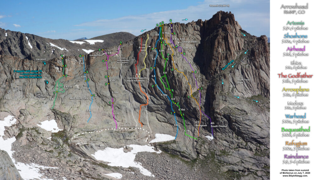
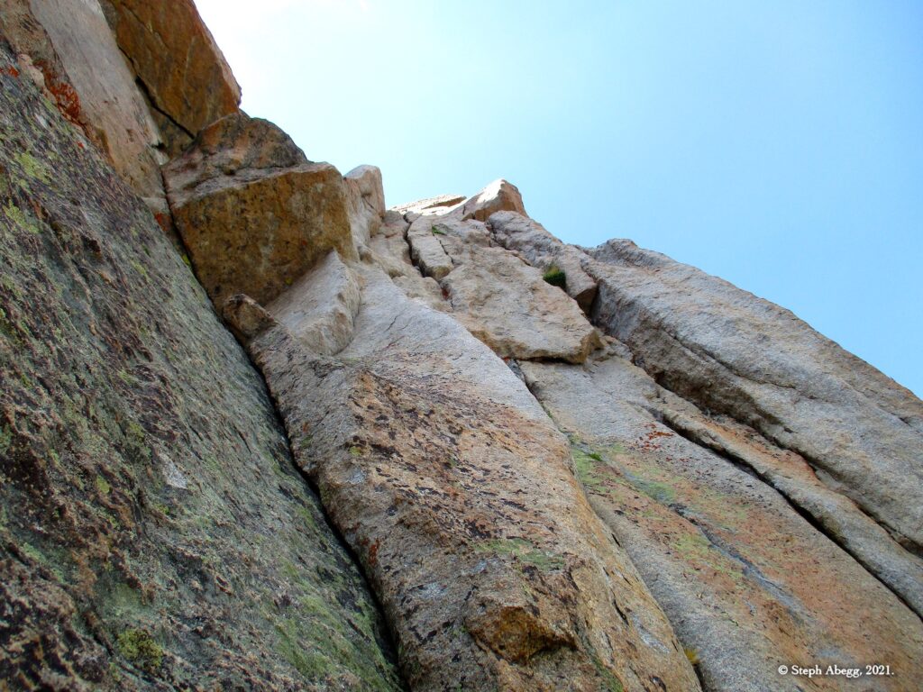
Raindance is characterized by a beautiful crack that cuts up and left across the southeast face right of Refugium, and leads to a conspicuous orange pillar high on the wall. This fun route climbs one of the taller sections of the south face, yet with the straightfowrad route-finding and nice ledge belays it goes quite quick.

Pitch-by-Pitch Photos

Approach

3rd
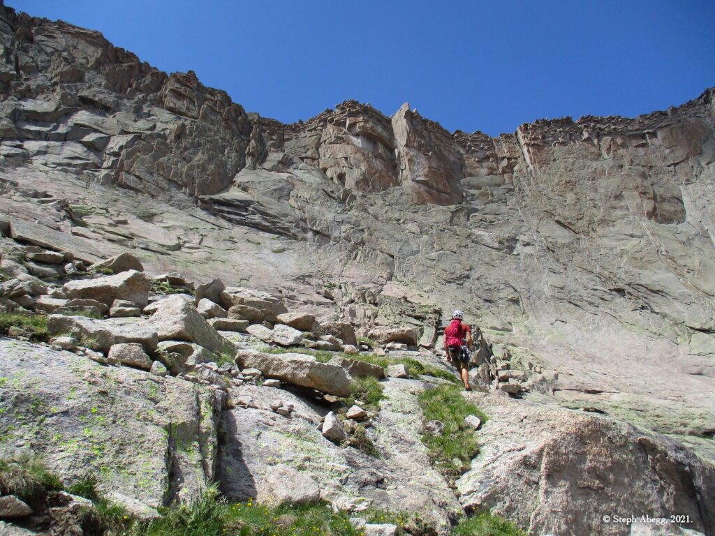
Follow the talus to the high point at the bottom of the South Couloir.

From here, there are a few ways to get to the base of the route. (1) 4th. Start up the South Couloir, then break left and gain the lower west section of the South Ramp. (2) 5.7. Climb the first pitch of Refugium to the South Ramp, then walk right to the start. We chose Option 2.

Pitch 1

5.7, 200-250'
Begin 50 feet left of a chimney. Follow a crack to a ledge and belay, or run the rope all the way to the South Ramp.

(Pitch 1 of Refugium)

Pitch 2

5.7, 120'
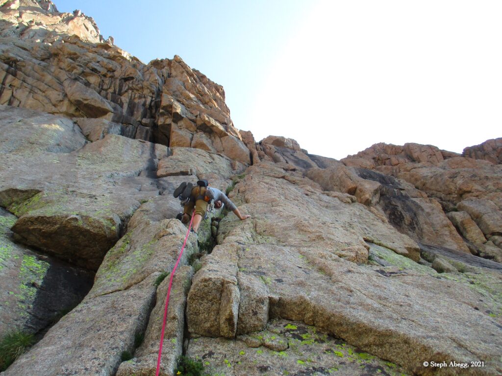
Climb along the right side of the blocks, then continue up cracks to a big grassy ledge, and belay beside a block at the base of a beautiful, left-leaning crack.

(Pitch 1 in Rossiter guidebook)

Pitch 3

5.9, 160'
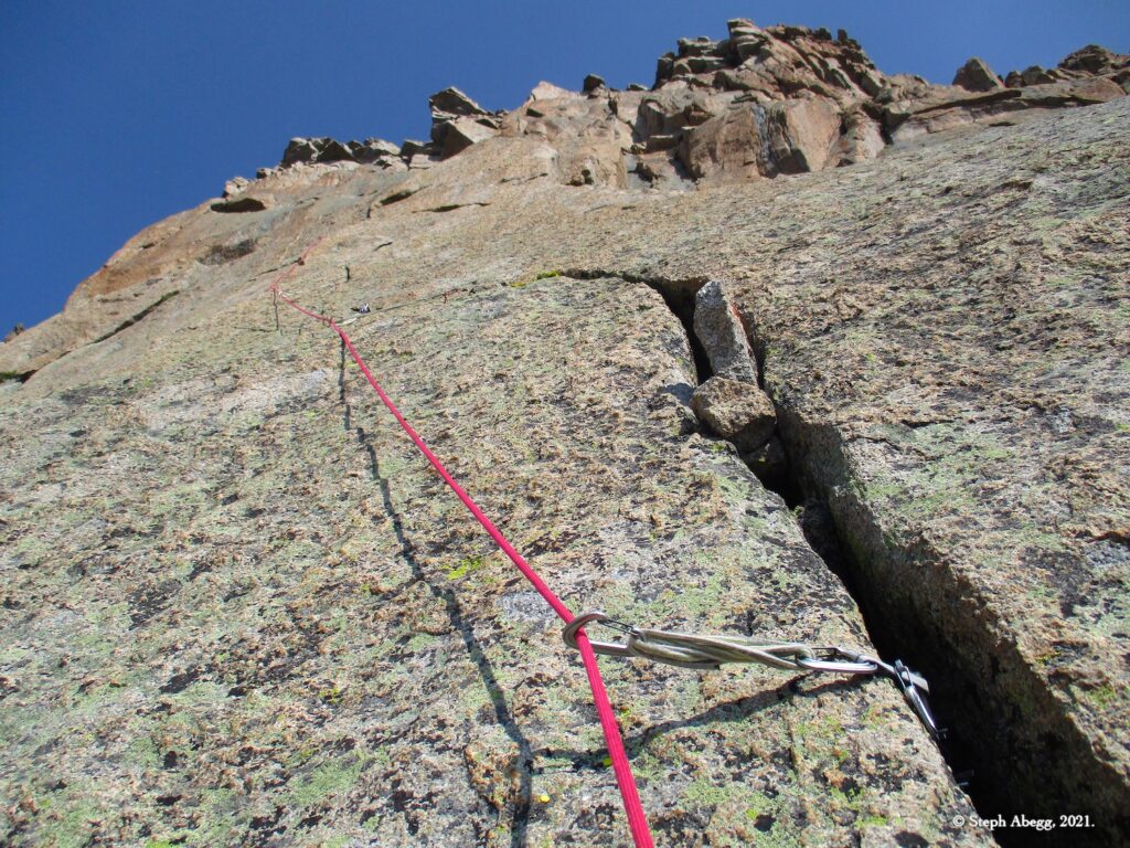
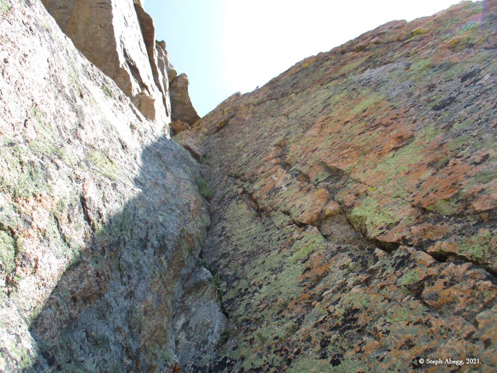
Start from the top of the block. Follow the crack and stay with it as it trends left. Climb a left-facing corner and belay at a stance where a thin crack goes out left across the wall.

(Pitch 2 in Rossiter guidebook)

Pitch 4

5.7 or 5.9+, 60'
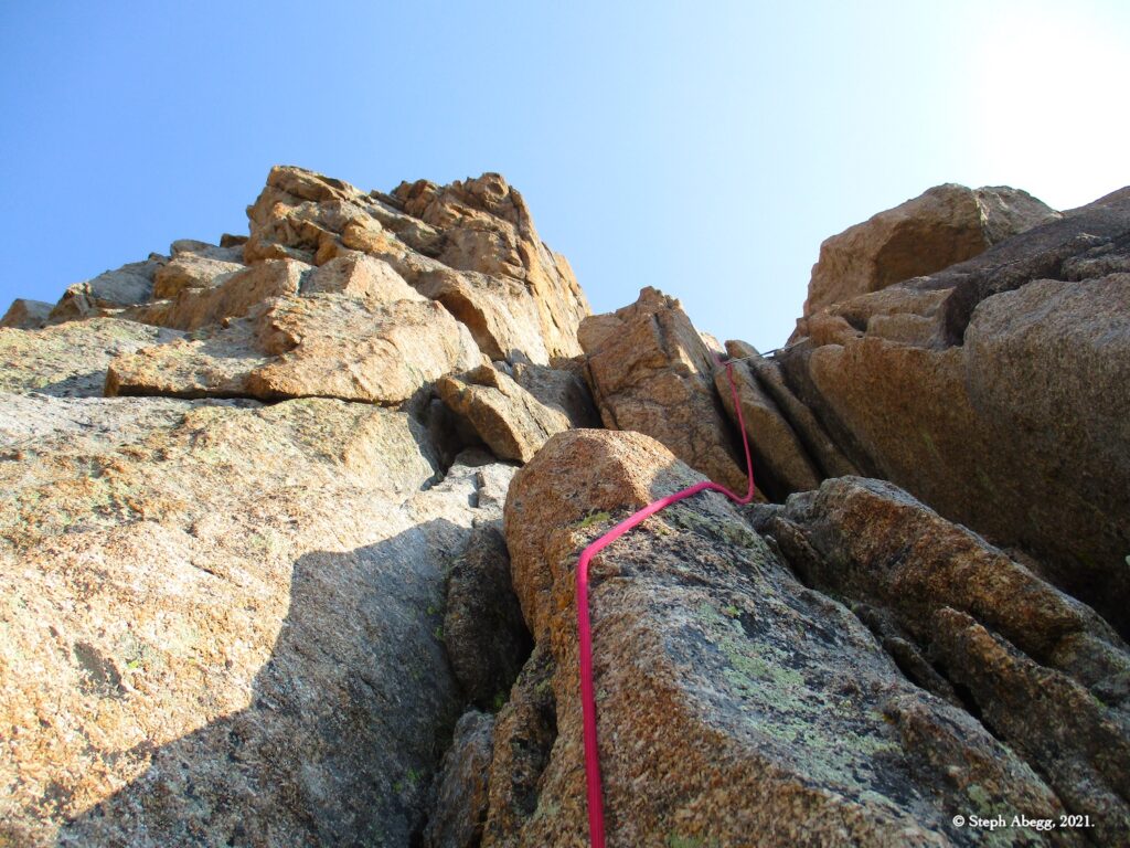
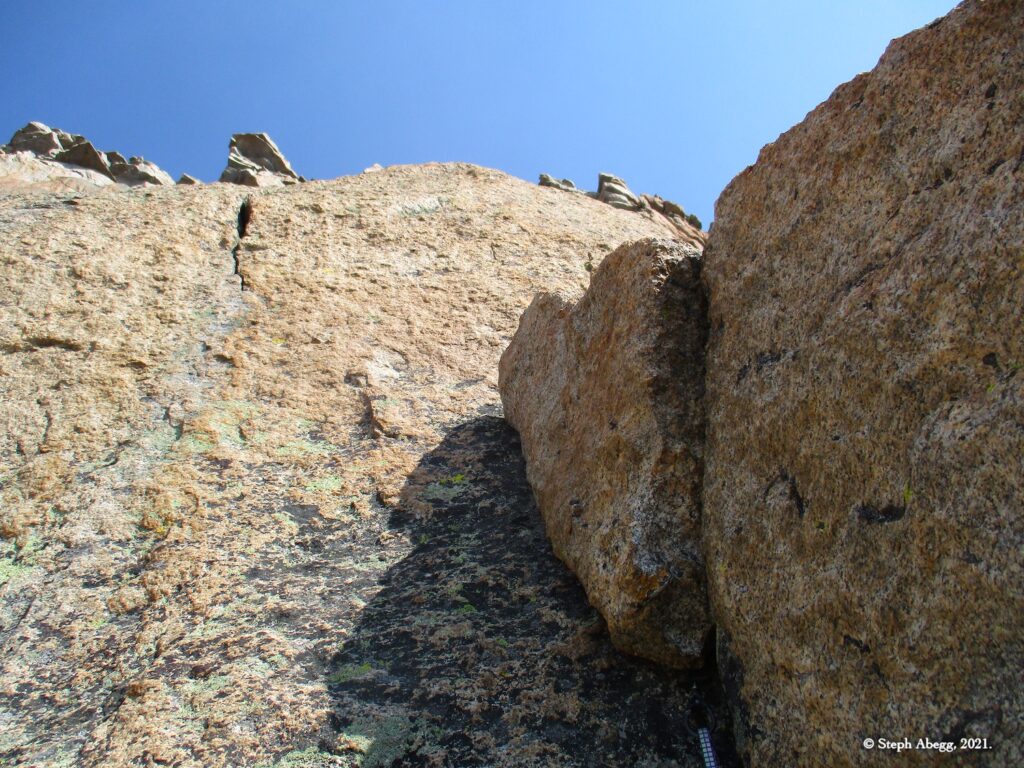
Follow the corner up and right, and climb the right edge of a squeeze chimney to a ledge. Belay at the bottom left side of the Orange Pillar. (A 5.9+ version heads straight left from the belay and climbs a flared crack to the ledge.)

(Pitch 3 in Rossiter guidebook)

Pitch 5

5.9, 100'
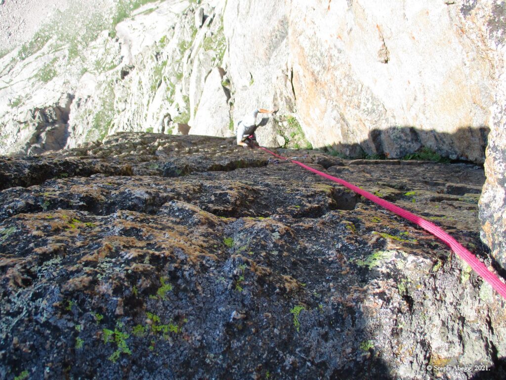
Work up and left, then up and right in a slot to the bottom of a large left-facing corner. We climbed a 5.10ish finger crack variation just before the slot.

(Pitch 4 in Rossiter guidebook)

Pitch 6

5.9, 80'
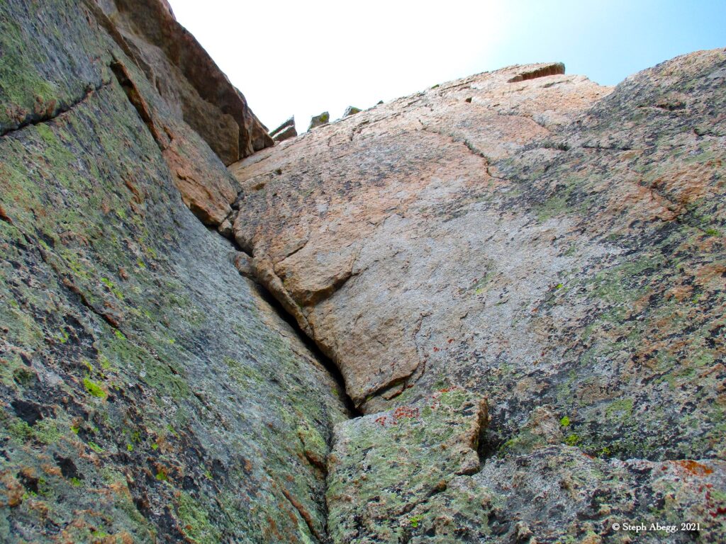
Climb the dihedral to the top of the wall. 

(Pitch 5 in Rossiter guidebook)

Top

12,660 ft
The route ends 400 feet west of the summit. Scramble to the summit if you want. It's worth it.

Descent

Rappel
Scramble down to the low point between Arrowhead and McHenry's Peak. Locate the first rap station (under a big boulder). There are two raps and some 4th-low 5th class downclimbing. A single 70 works just fine.
Other Photos

CLICK TO TO DROP DOWN CONTENT

Comments Pertaining to this Page / Trip Report

Useful beta. Updated route information. Corrections. Historical notes. Interesting facts. No fluff please.
Leave a Reply

Your email address will not be published. Required fields are marked *