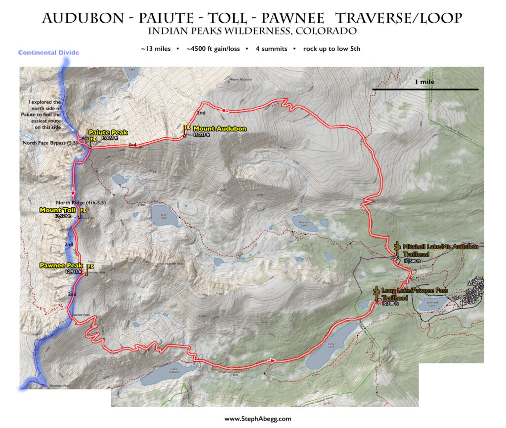
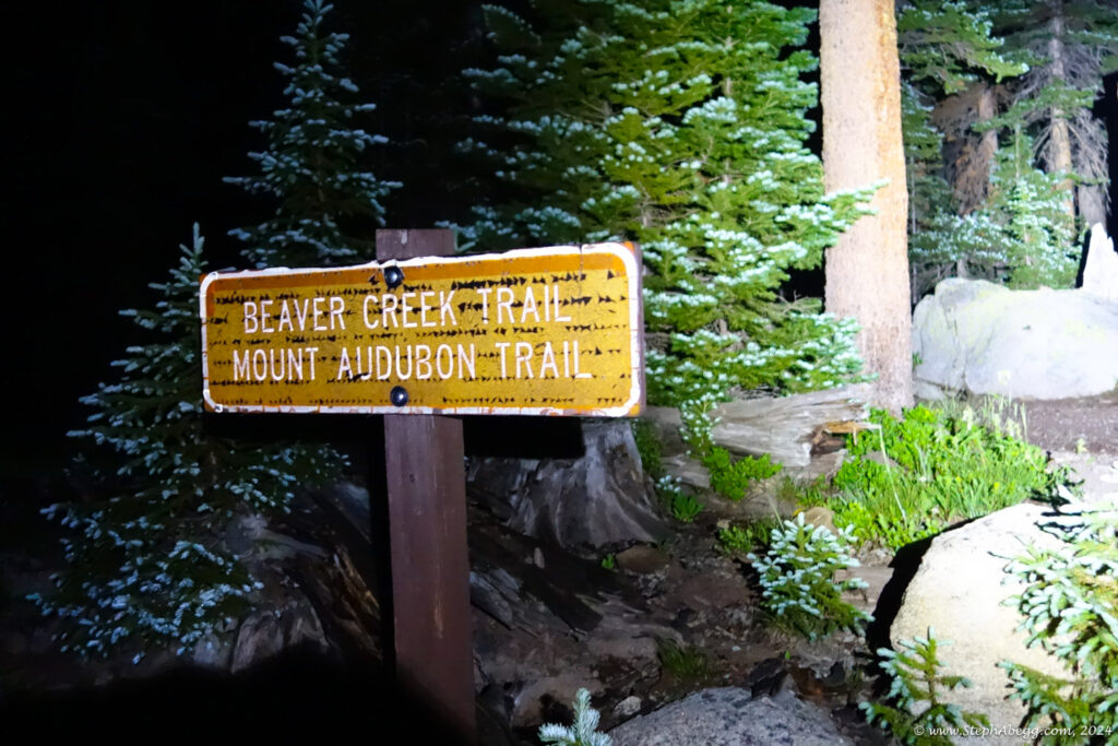
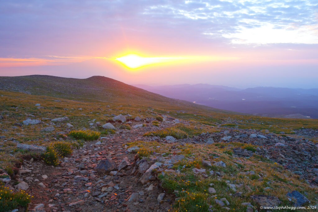
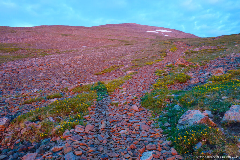
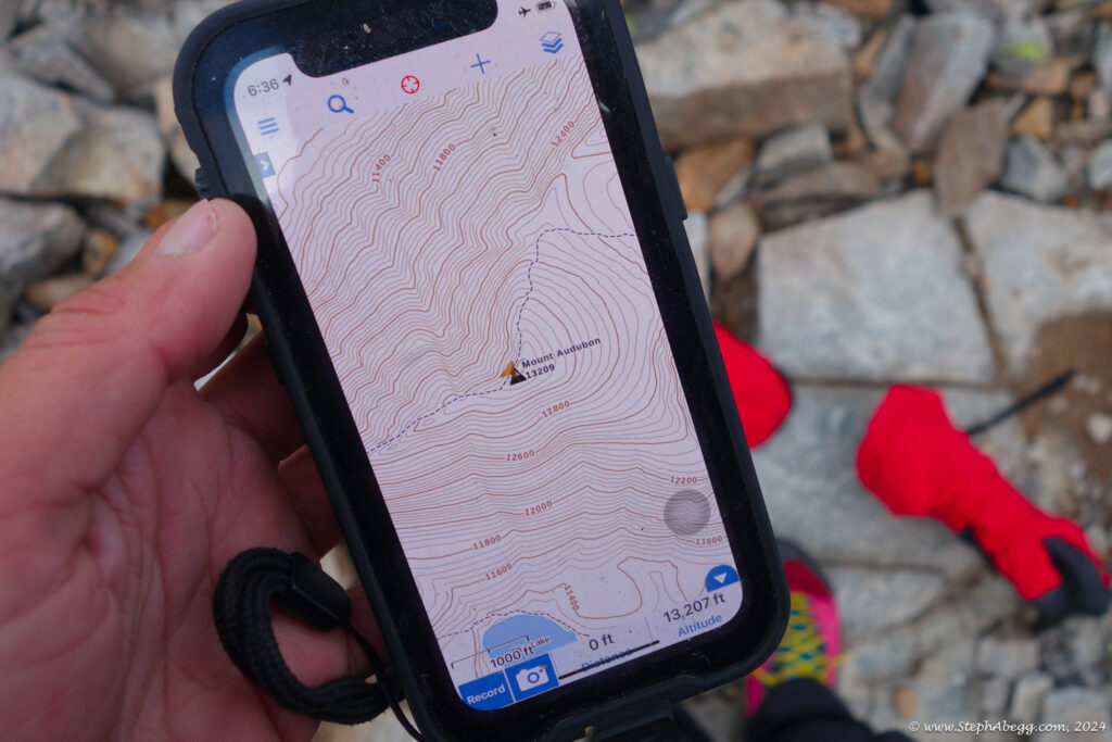
Audubon – Paiute – Toll – Pawnee Traverse (13 miles round trip, ~4500 ft gain/loss, 4 summits, rock up to 4th)

Audubon - Paiute - Toll - Pawnee Traverse

Route:

13 miles round trip, ~4500 ft gain/loss, 4 summits, rock up to 4th

- Mt. Audubon (13,223')
- Paiute Peak (13,088')
- Mt. Toll (12,979')
- Pawnee Peak (12,943')

Scoping out another section of the LA Freeway, and finding 4th class bypasses to the low 5th sections.

Region: Colorado
Elev: 10,500-13,223 ft
Rock type: Gneiss & Granite
Type: 
Date(s): July 17, 2024 (Wed)
Partner(s): solo

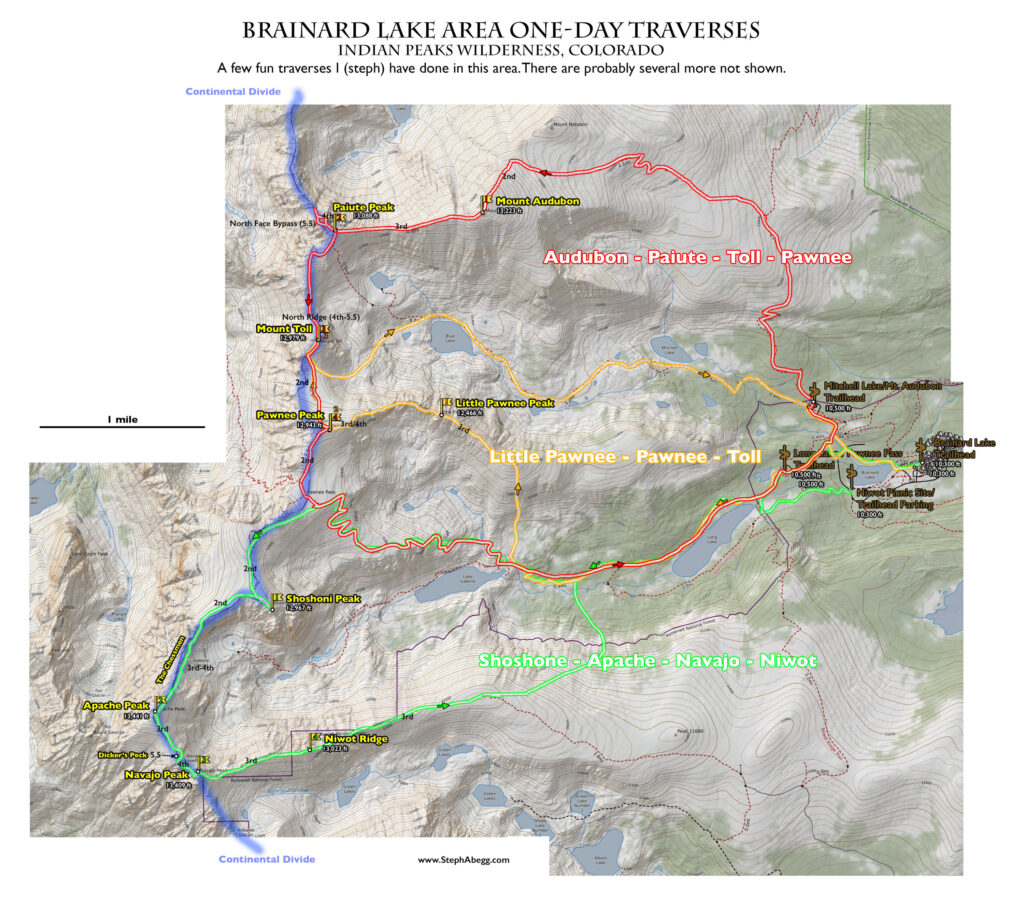
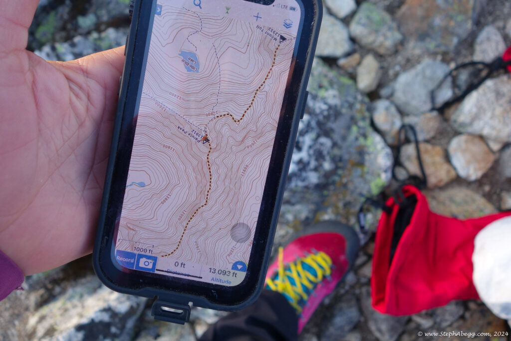
Maps

CLICK TO ENLARGE

Intro

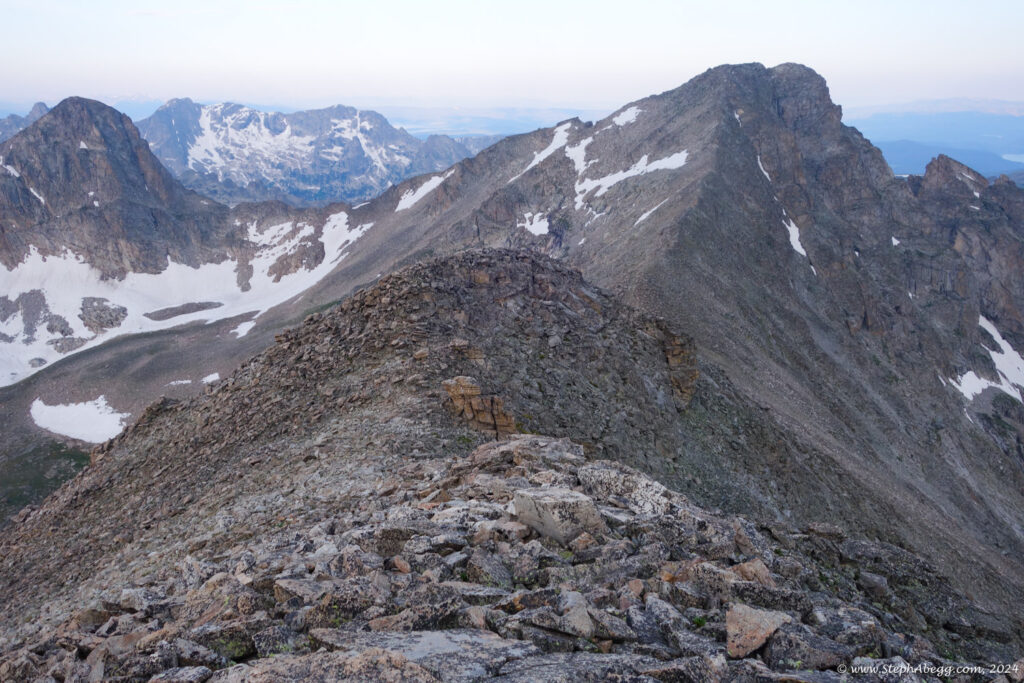
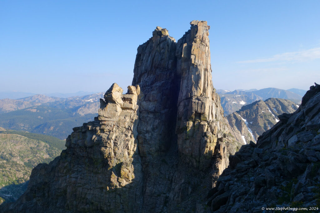
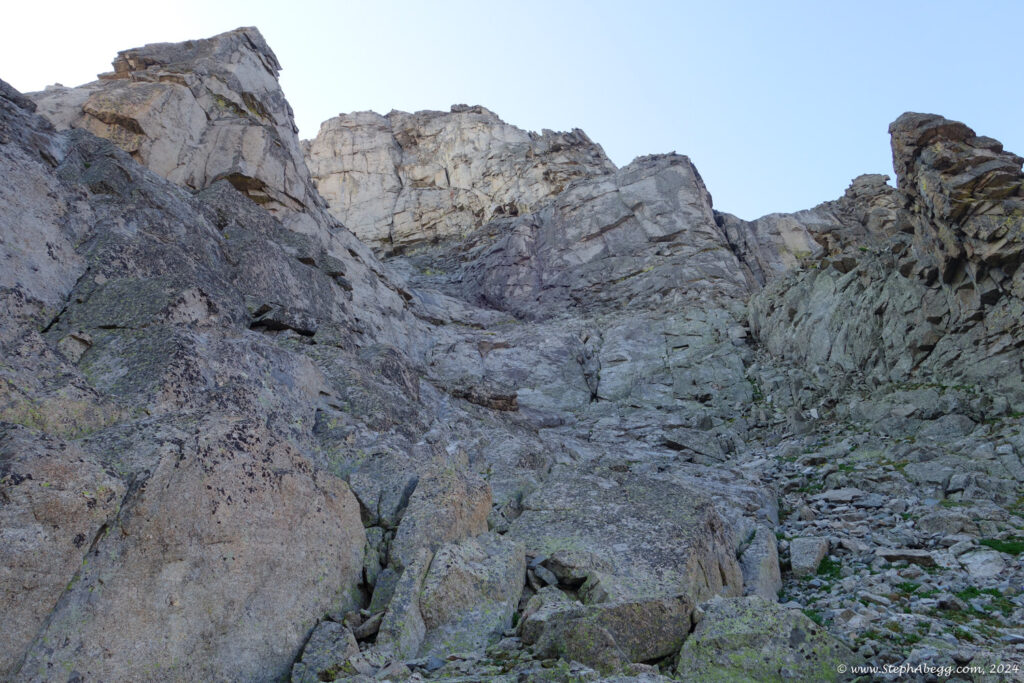
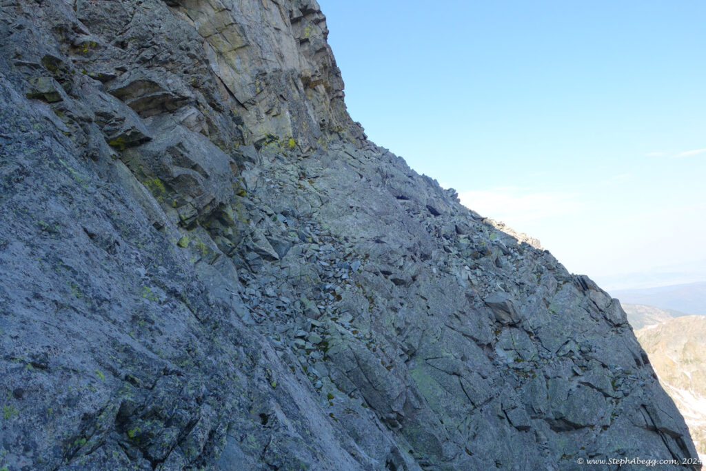
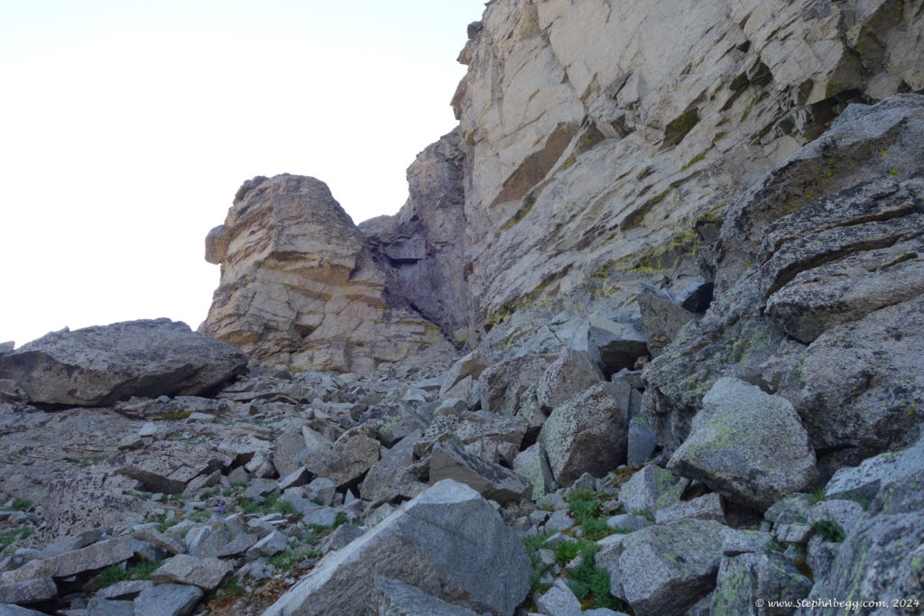
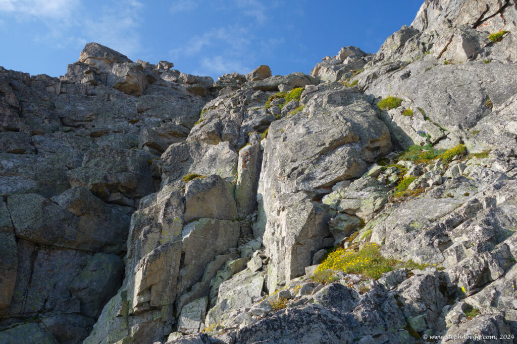
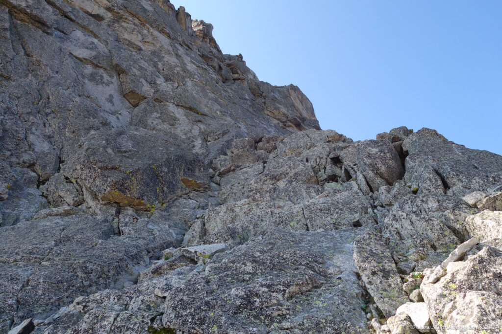
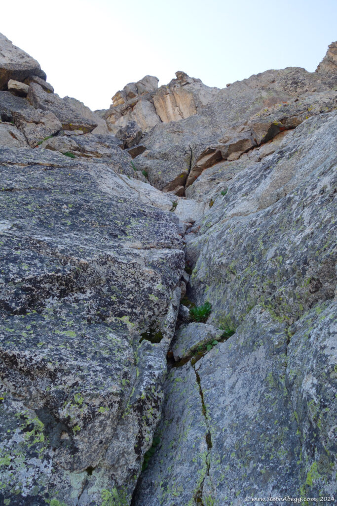
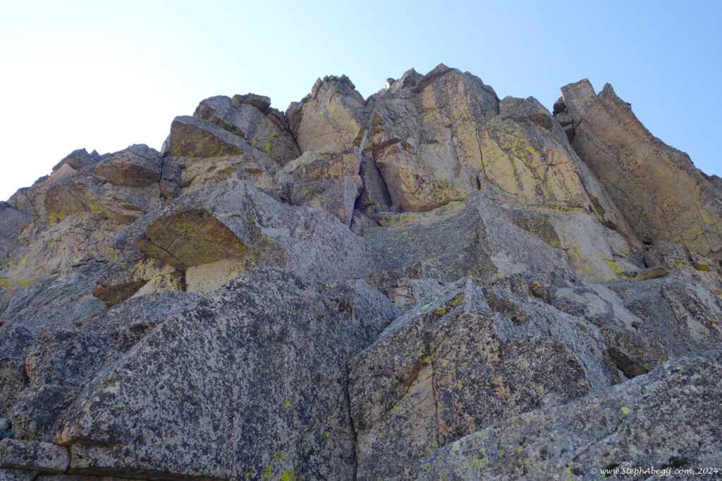
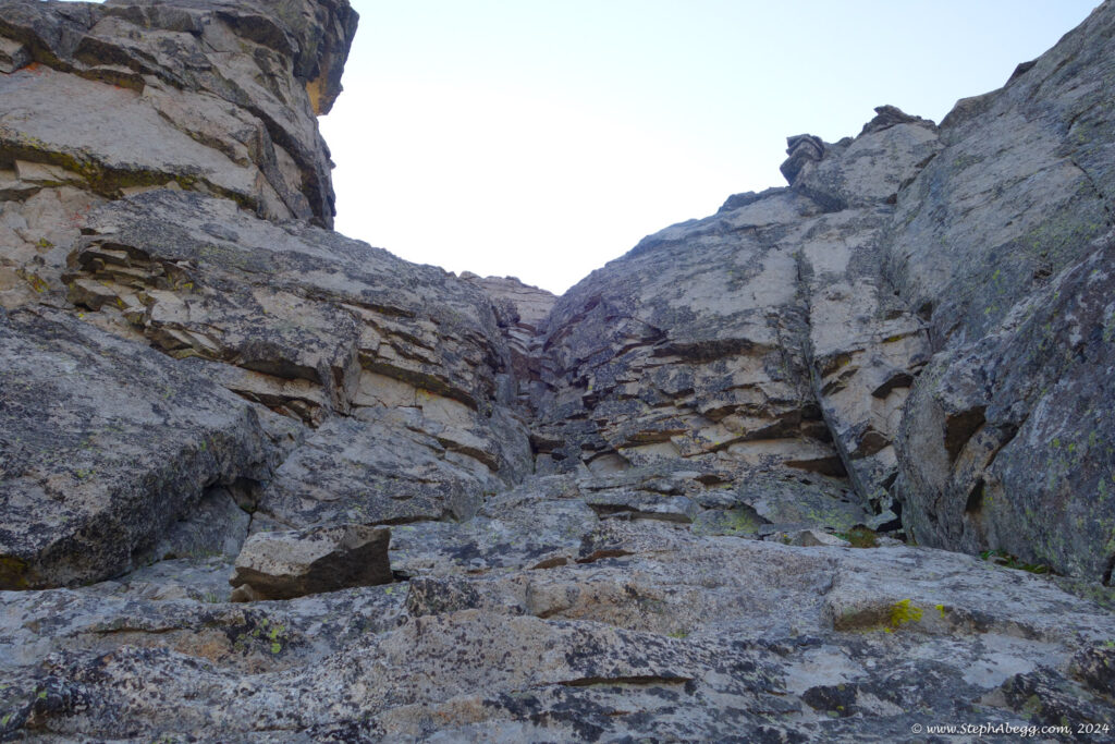
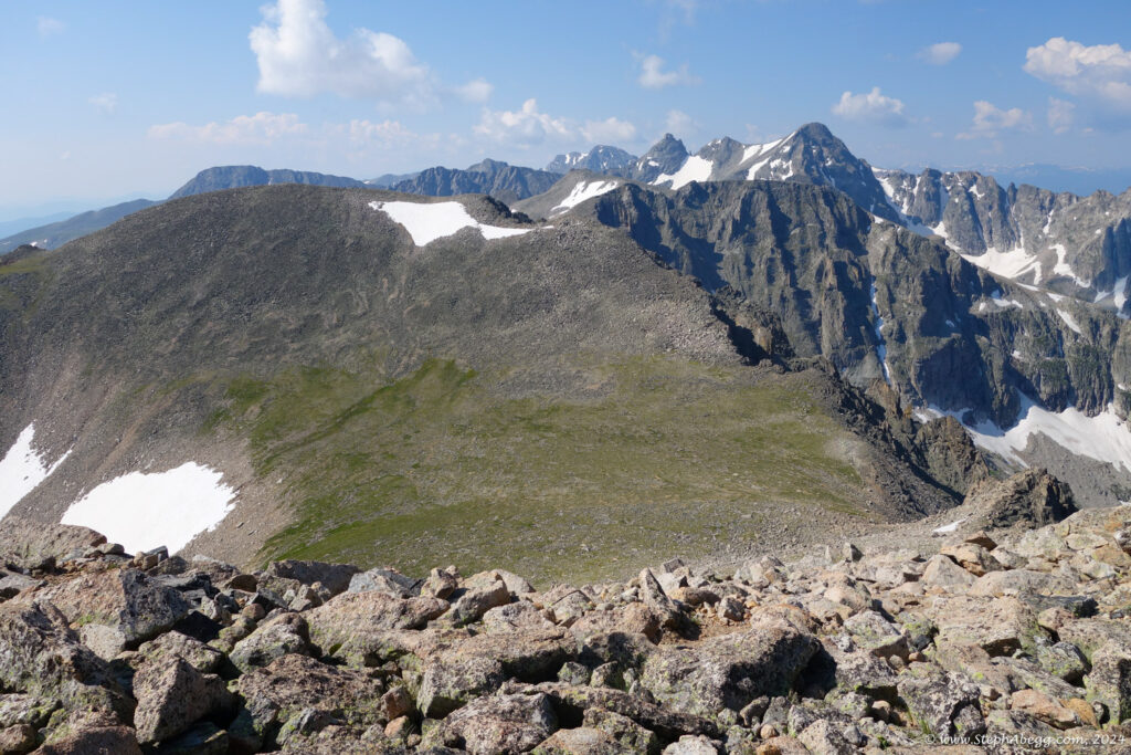
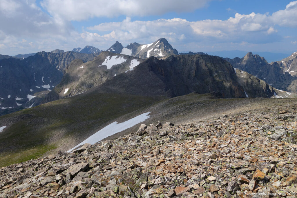
I have my sights set on the "LA Freeway", a 38(or so)-mile ridgeline traverse from Longs Peak to Arapaho Peaks. I've been scoping out various "crux" sections. One section I still needed to scope out was the north sides of Paiute and Toll. Both of these peaks have a couple of low 5th sections on the standard routes up the north sides, but both also have vague references to "possible 4th class detours". So my goal was to find these detours.

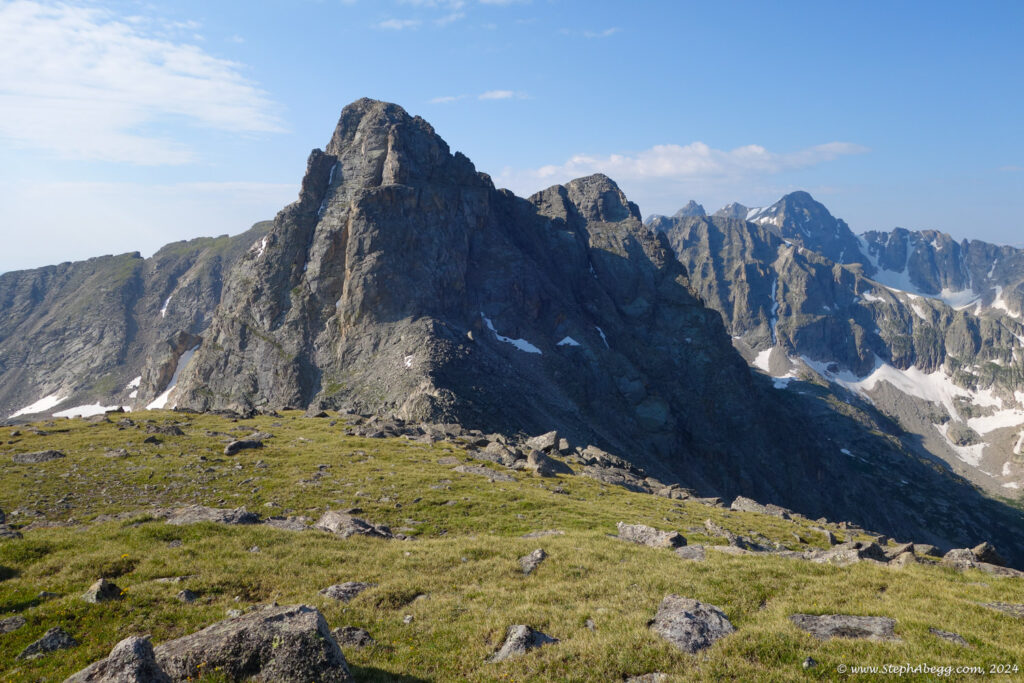
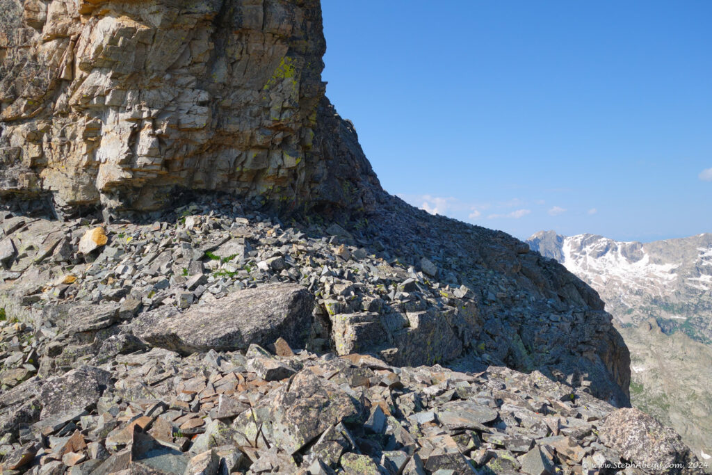
I decided to do a loop over Audubon, Paiute, Toll, and Pawnee. This loop would naturally require ascending the north side of Toll, but to scope out the north side of Paiute (which is ascended via the 3rd class east ridge on this traverse) I would have to descend the north side and try to find the route. Fortunately, my efforts to find a 4th class bypass to the low 5th sections were successful on both Paiute and Toll.

The traverse took me 8 hours, or 7 if I don't include the hour spent scoping out the north side of Paiute. I didn't see a single other person on the ridge. As I was hiking out, the forecasted afternoon thundershowers were moving in on the peaks, and I enjoyed the dark sky and booms of thunder, knowing I was safely off the ridge. It was an enjoyable and productive way to get some exercise.

The following page contains a map and photos from my traverse.

Photos

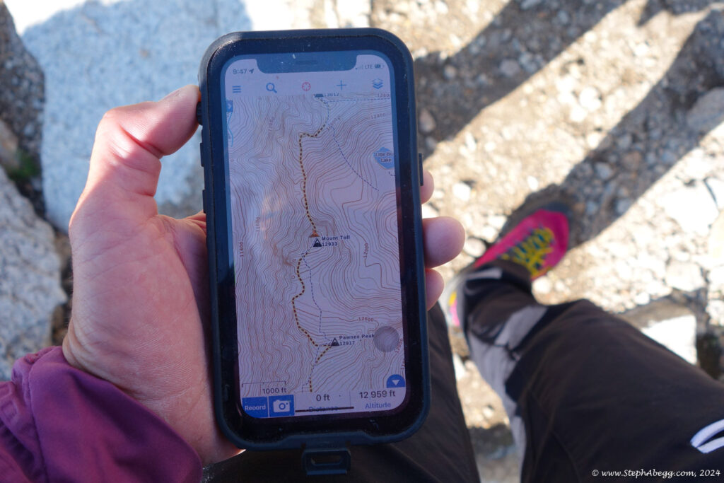
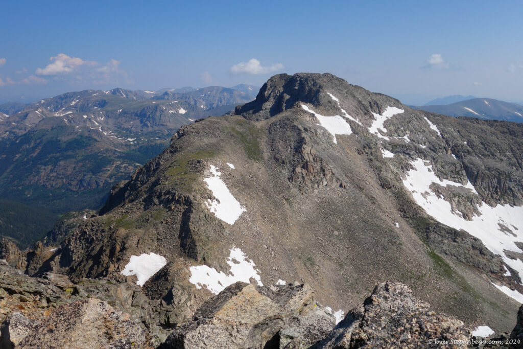
Mount Toll to Pawnee Peak

Mount Toll: 12,979 ft
Pawnee Peak: 12,943 ft
Split time: 0:37
Cumulative time: 5:52
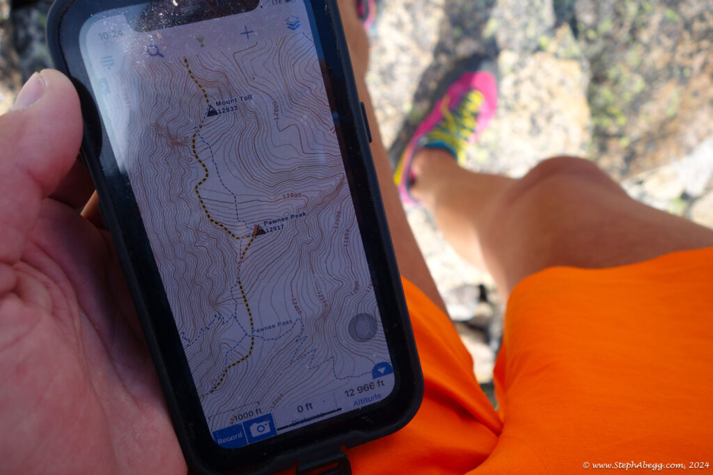
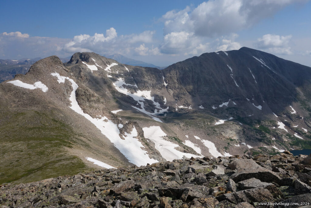
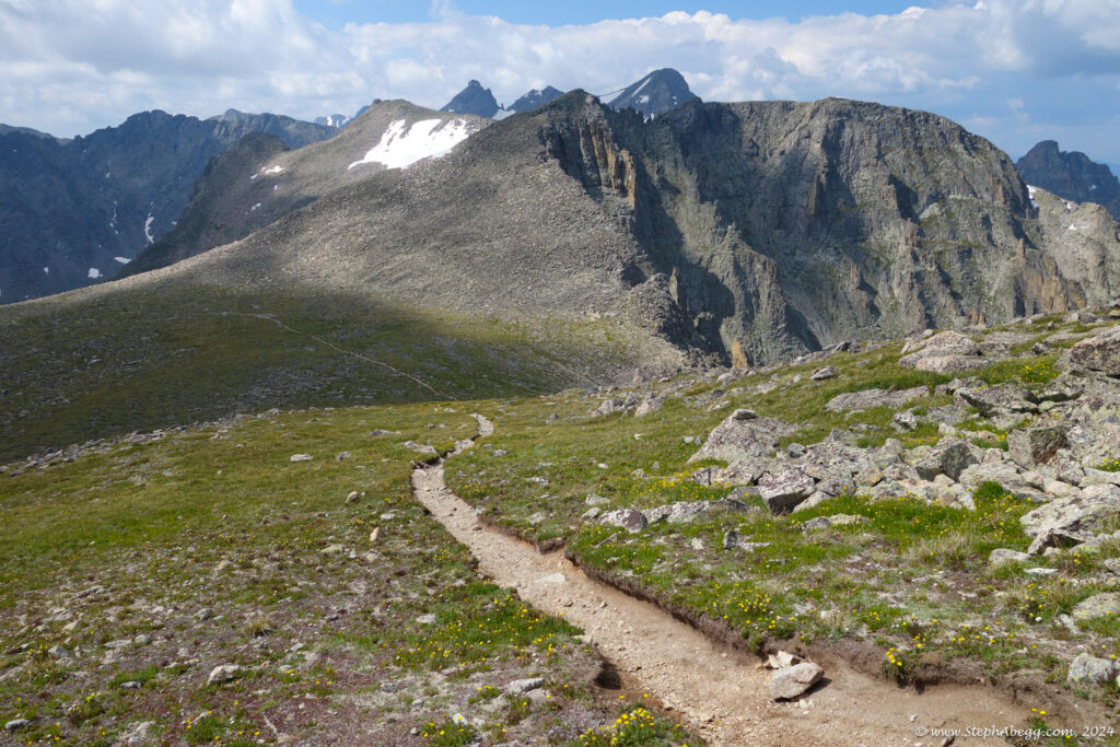
Descended the south side of Mt. Toll (2nd) and romped over to the summit of Pawnee (2nd).

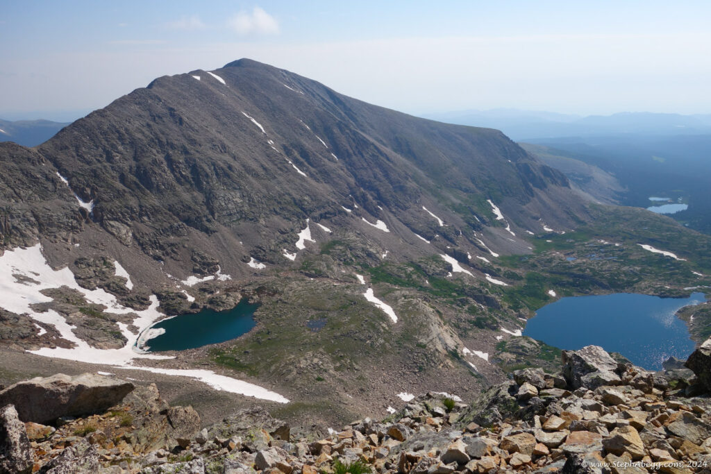
Pawnee Peak to Pawnee Pass to Long Lake Trailhead to Mitchell Lake Trailhead

Pawnee Peak: 12,943 ft
Pawnee Pass: 12,542 ft
Long Lake Trailhead: 10,500 ft
Mitchell Lake Trailhead: 10,500 ft
Split time: 2:07
Cumulative time: 7:59
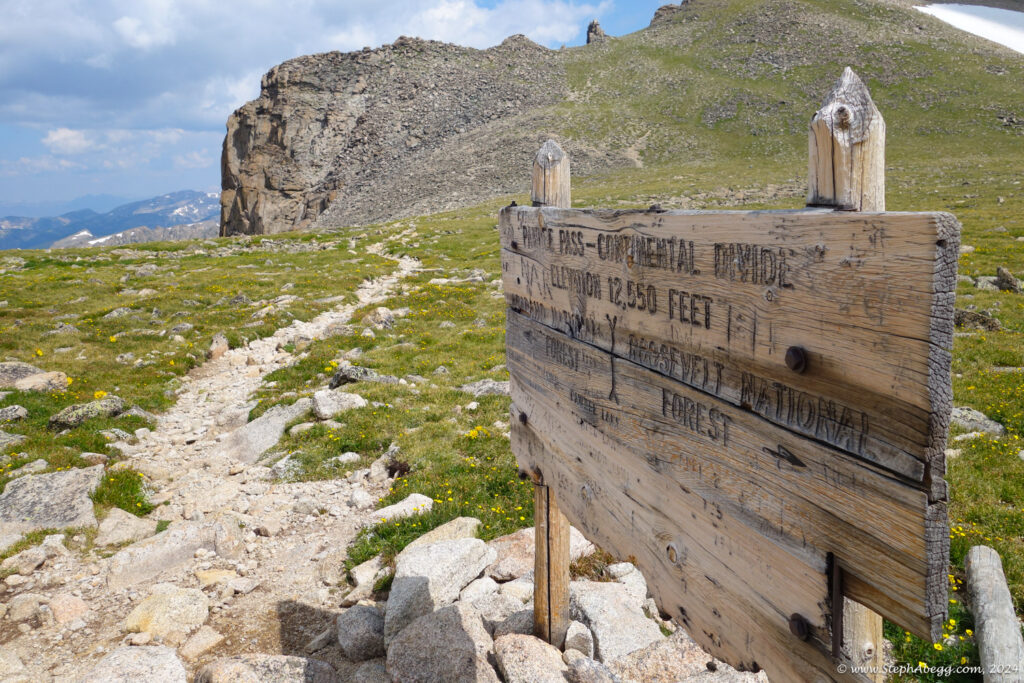
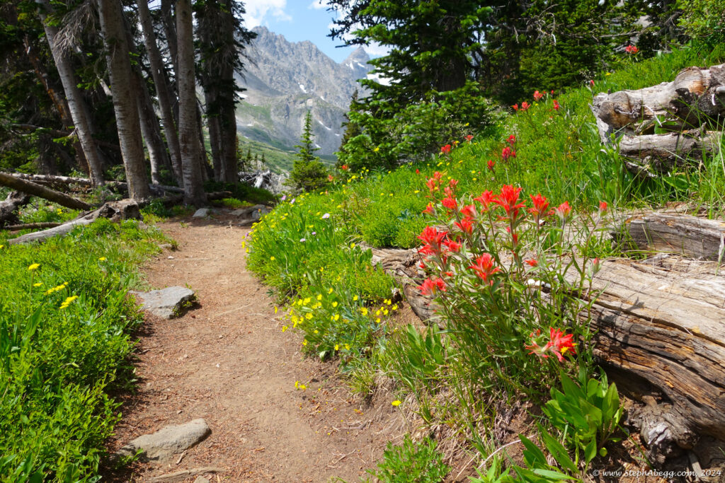
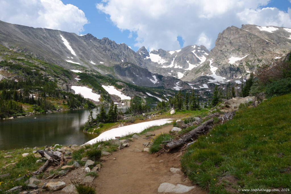
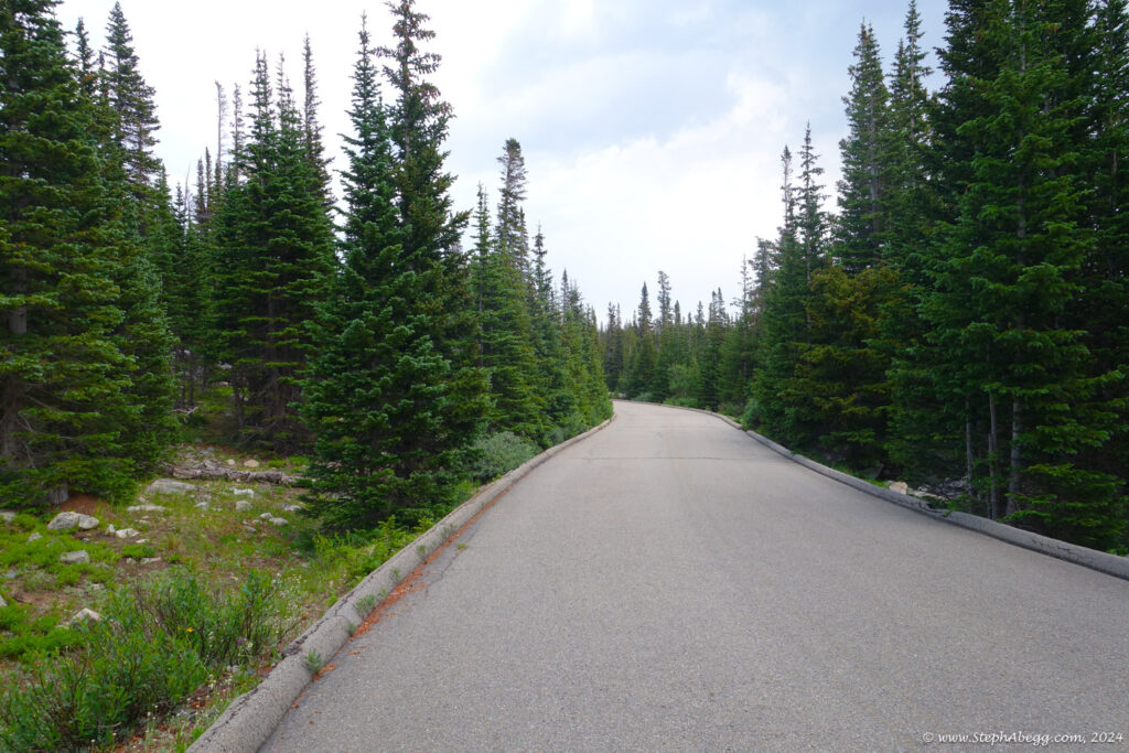
Descended south side of Pawnee Peak (2nd) to Pawnee Pass and hiked trail back to Long Lake Trailhead. My car was at the Mitchell Lake Trailhead, but this was just a short road walk. 

Comments Pertaining to this Page / Trip Report

Useful beta. Updated route information. Corrections. Historical notes. Interesting facts. No fluff please.
Leave a Reply

Your email address will not be published. Required fields are marked *

  1. Hello there! Do you know if they make anny plugins to help with Search Envine Optimization? I’m trying to get my blog to
    rank for sone targeted keywords but I’m not
    seeing very good success. If yyou know of anny please share.

    Many thanks! http://boyarka-Inform.com/