Biking Old Fall River Road & Trail Ridge Road

Old Fall River Road & Trail Ridge Road

Route:

Biking

~35 miles, ~5000 ft gain/loss for full loop (Old Fall River Road + Trail Ridge Road)

Biking in RMNP before the roads open to vehicles for the season.

Region: Colorado
Elev: 7,600-12,183 ft
Type: 
Trip Report 1:
Trail Ridge Road (Rainbow Curve to Rock Cut)
Date(s): May 25, 2023 (Thu)
Partner(s): solo
Trip Report 2:
Old Fall River Road (to snow at 10,500 ft)
Date(s): May 2, 2025 (Fri)
Partner(s): solo
Trip Report 3:
Trail Ridge Road (to Rainbow Curve)
Date(s): May 4, 2025 (Sun)
Partner(s): solo
Trip Report 4:
Old Fall River Road + Trail Ridge Road Loop
Date(s): June 15, 2025 (Sun)
Partner(s): solo

Intro

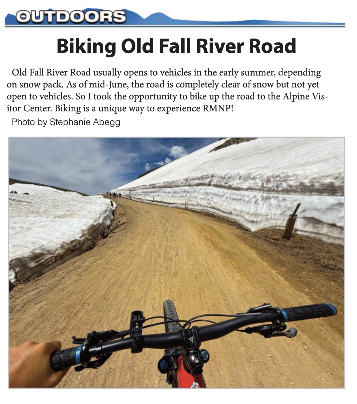
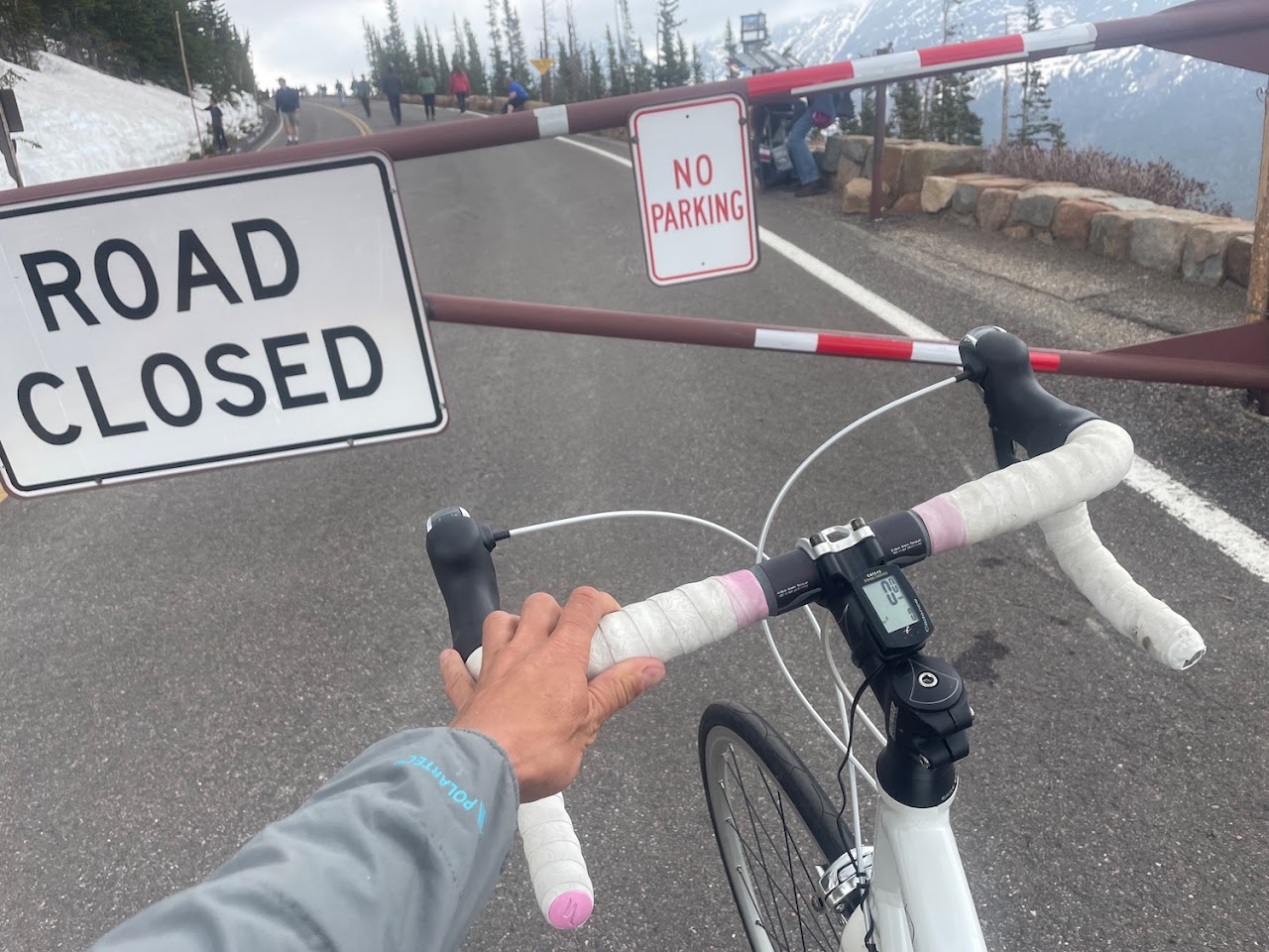
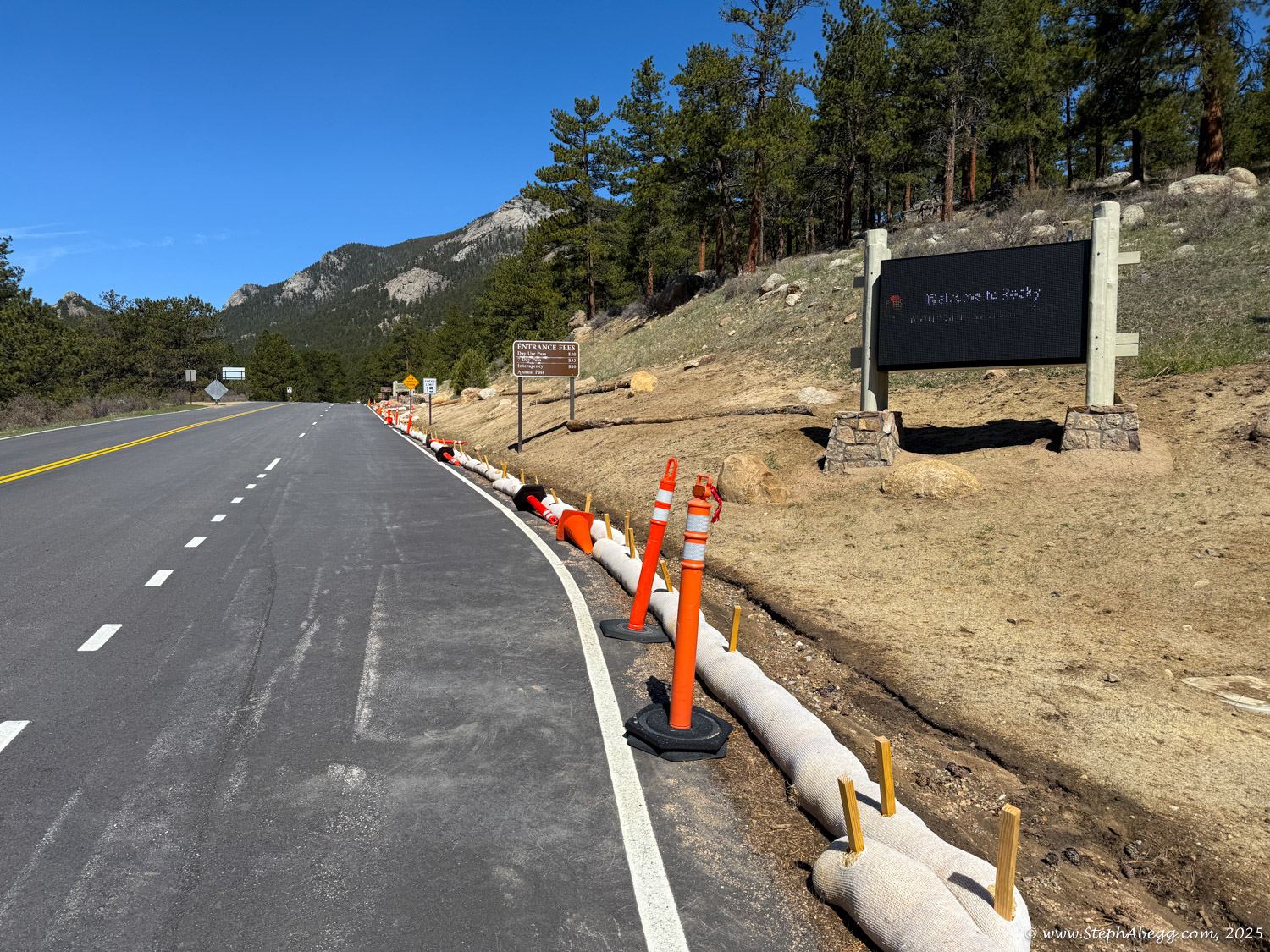
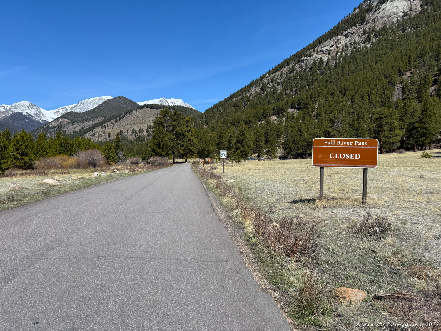
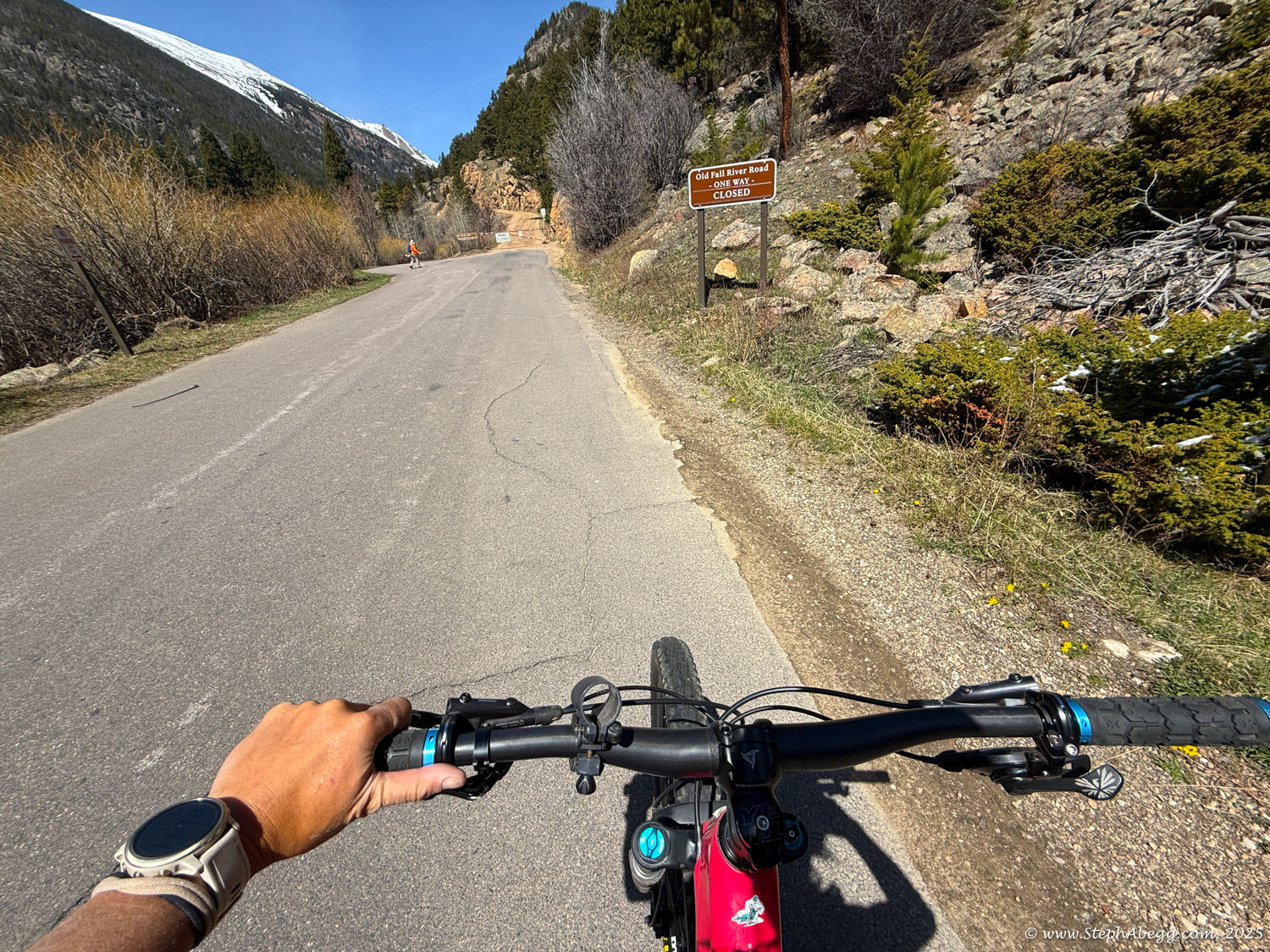
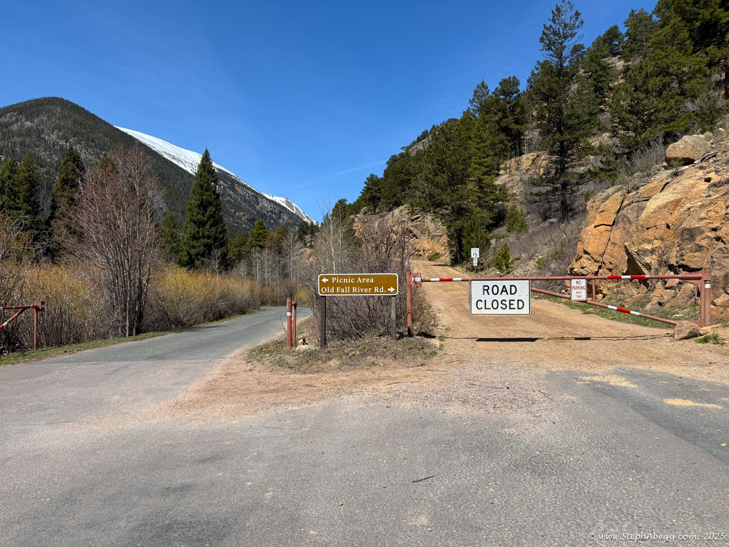
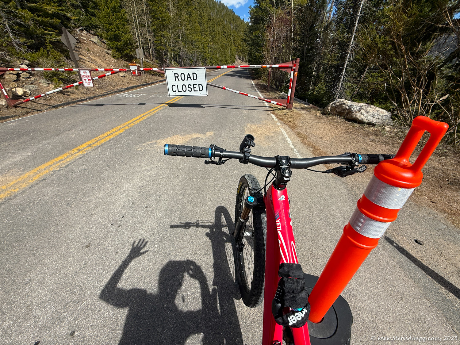
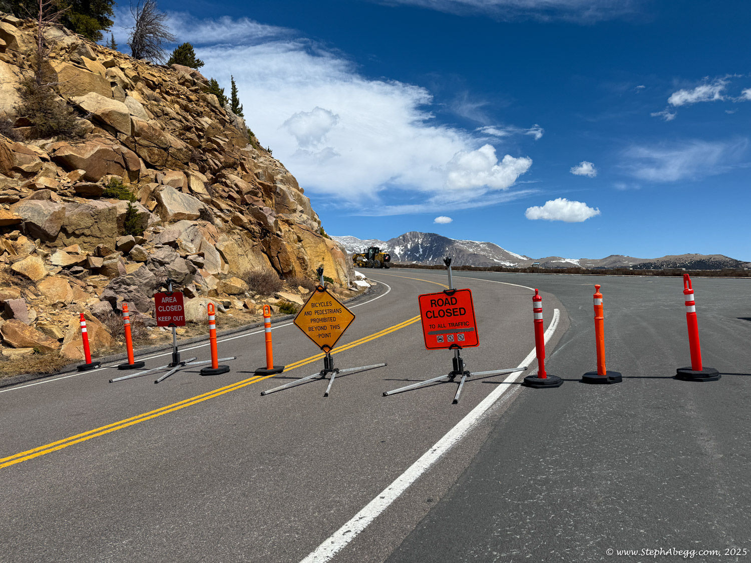
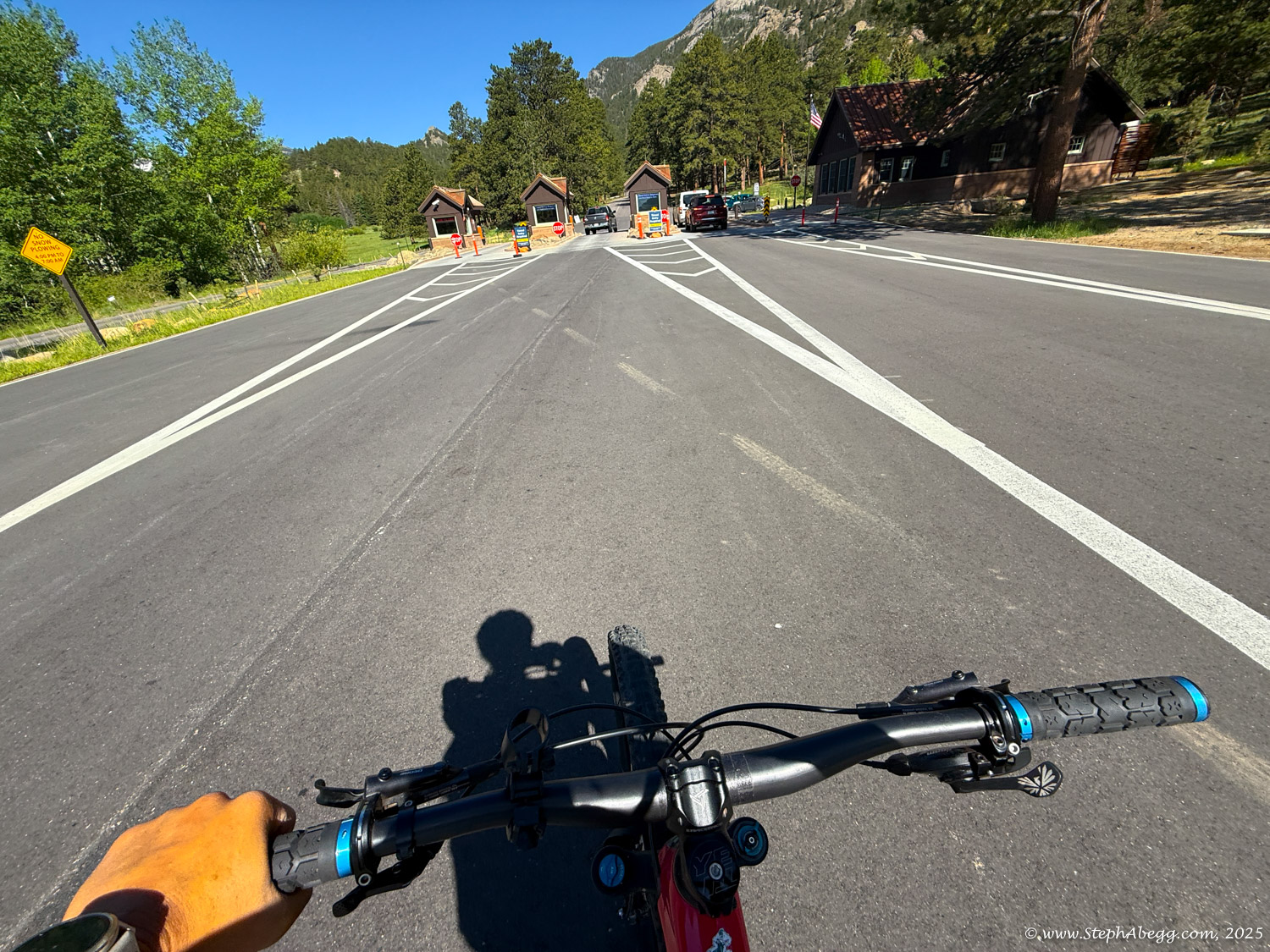
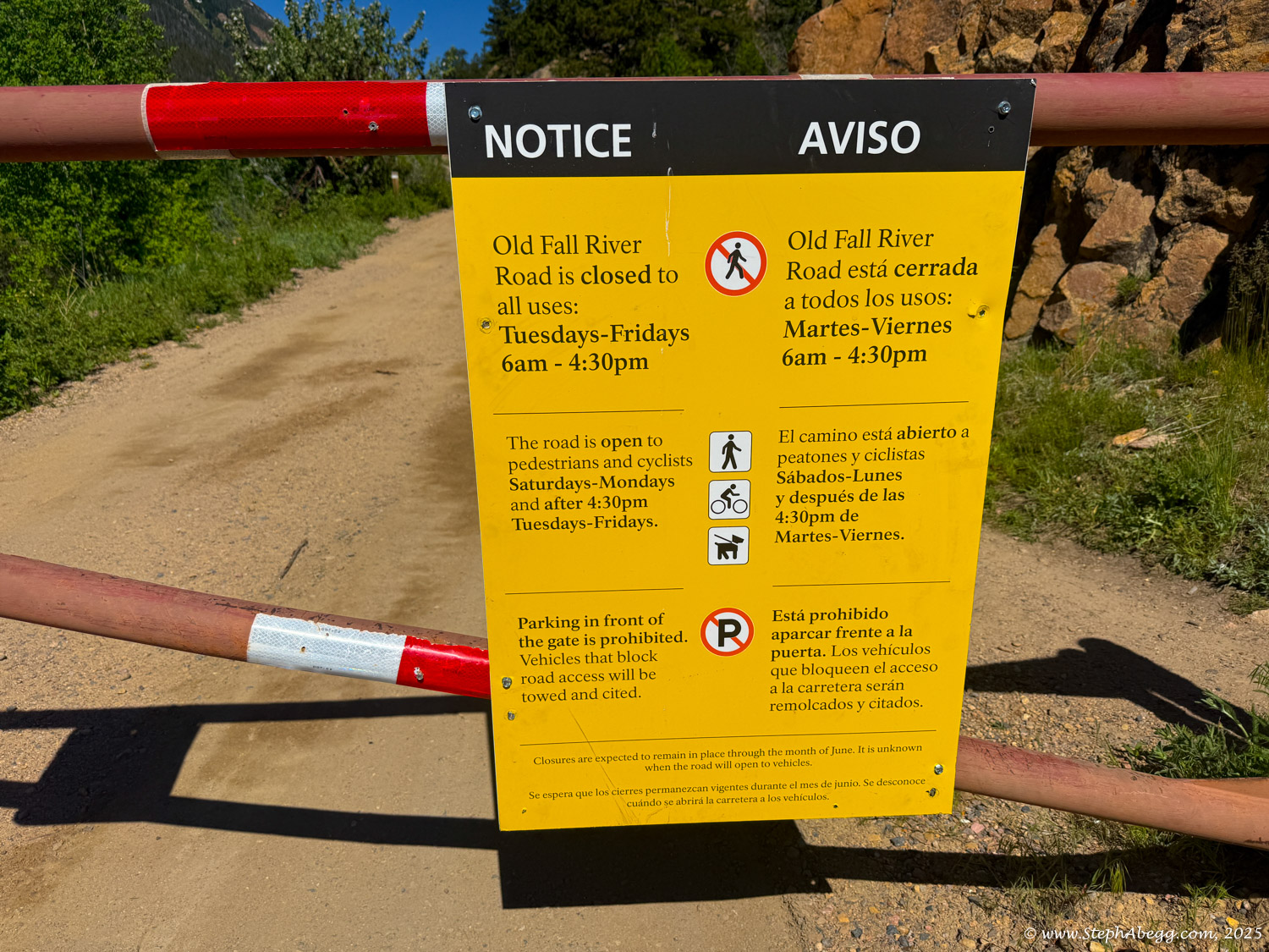
When Trail Ridge Road and Old Fall River Road in Rocky Mountain National Park are closed to motor vehicles but are not in winter trail status, cyclists are permitted to ride the roads. This period offers a unique opportunity for cyclists to enjoy the road without vehicular traffic. Trail Ridge Road typically opens to vehicle traffic in late May, around Memorial Day weekend. Old Fall River Road typically opens to vehicles in early July, though the exact date varies each year depending on snowpack and spring maintenance conditions.

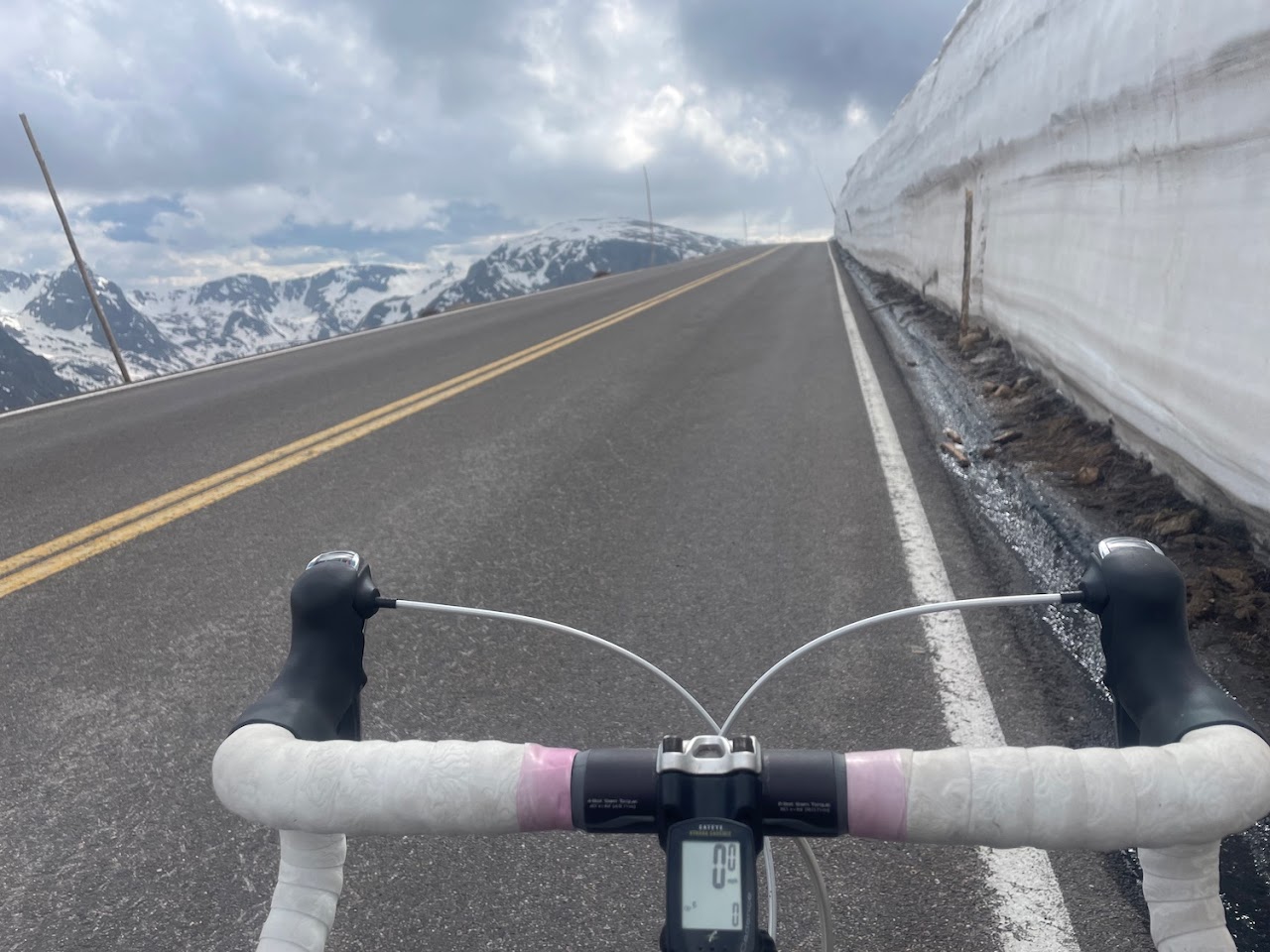
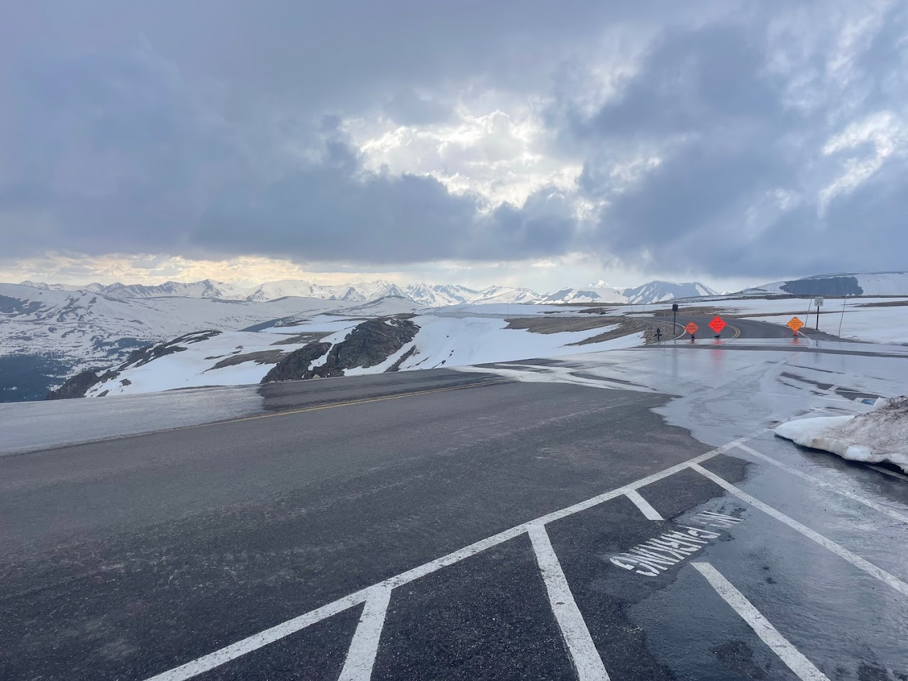
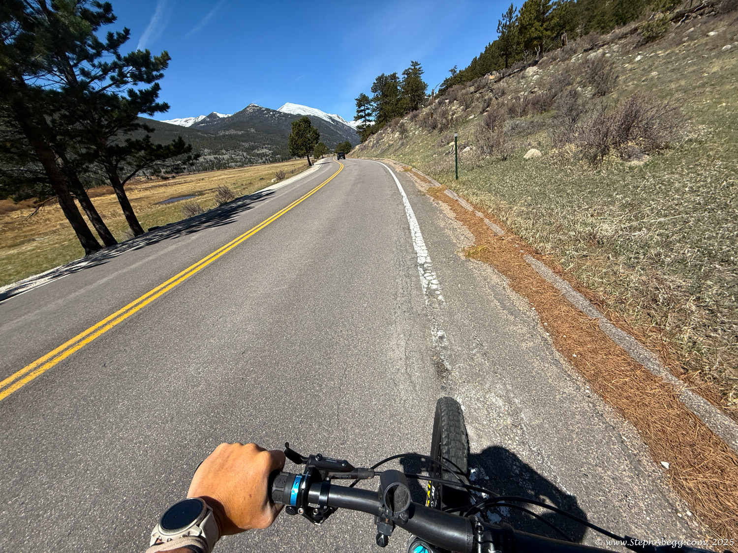
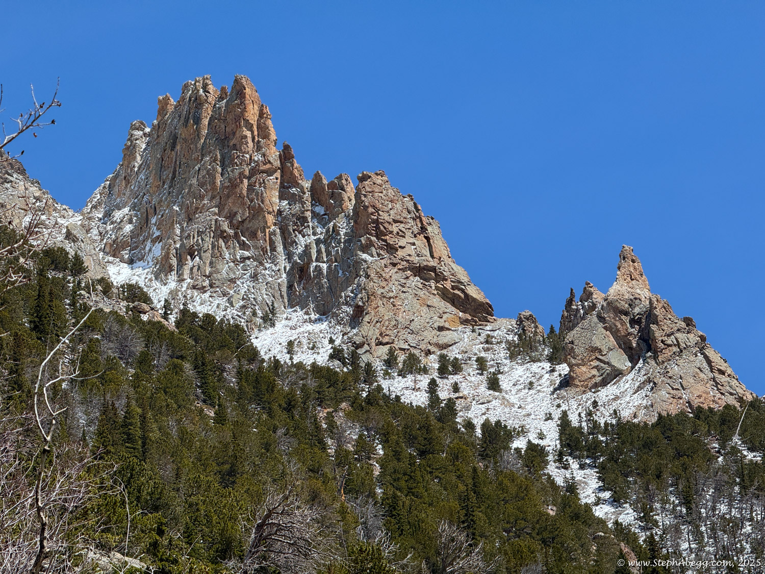
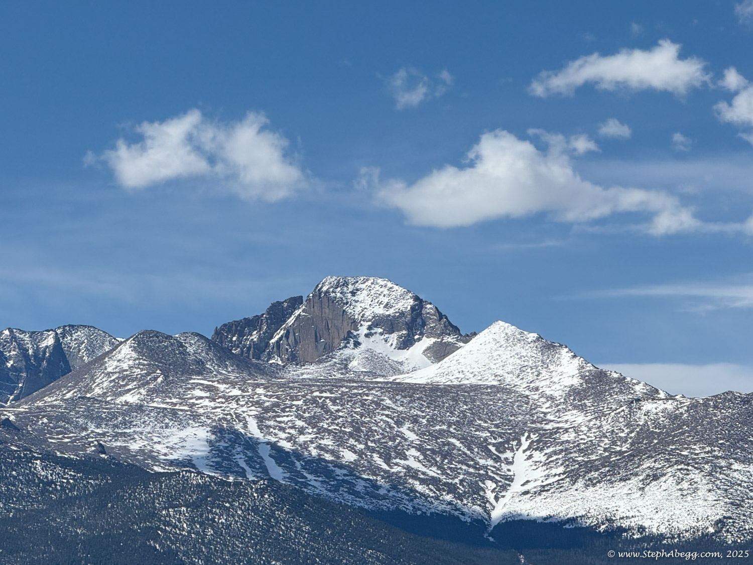
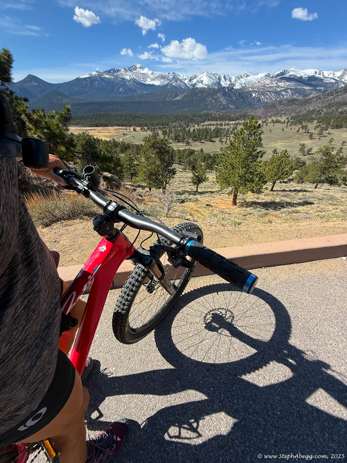
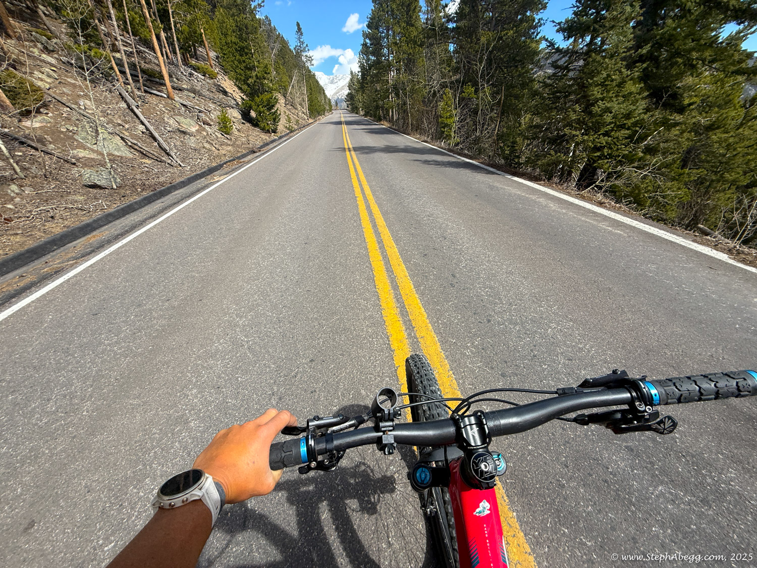
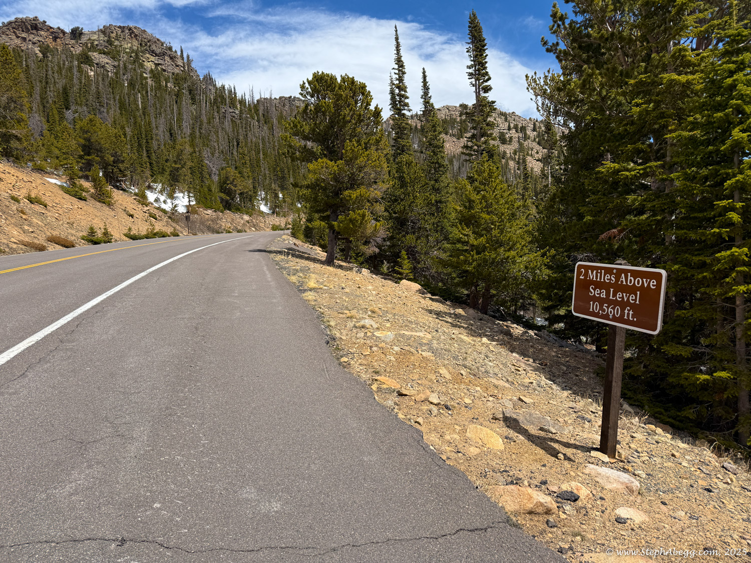
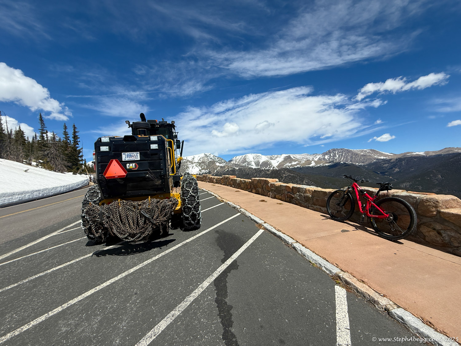
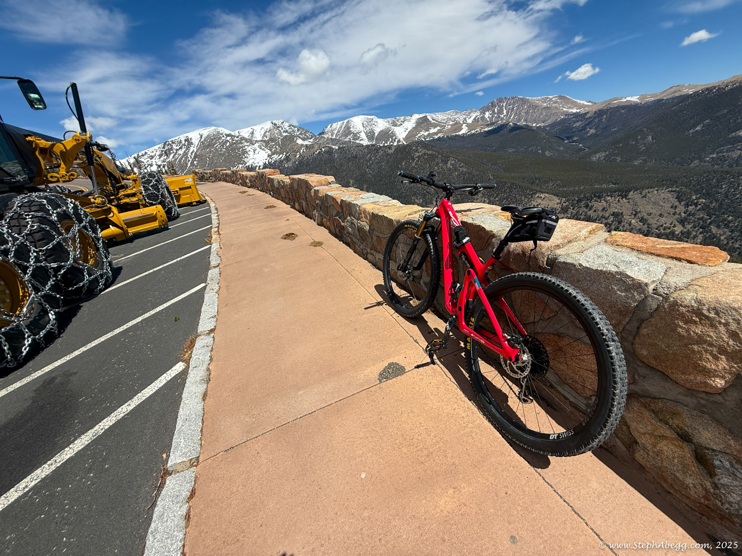
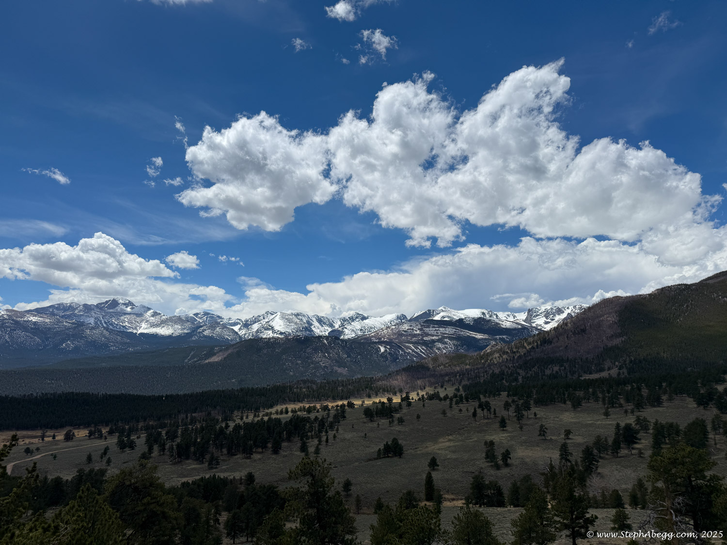
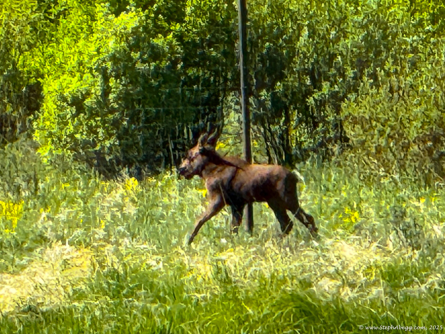
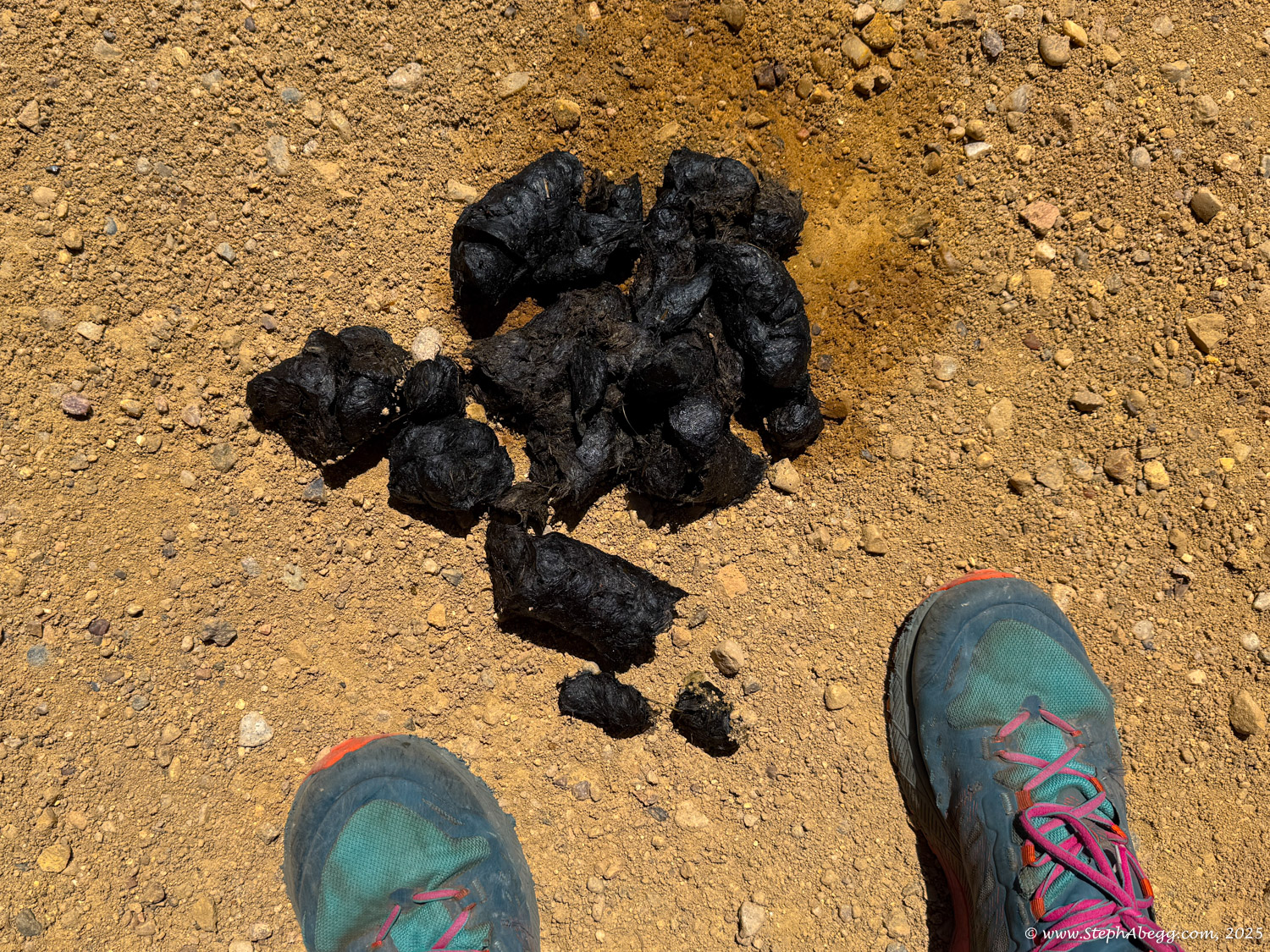
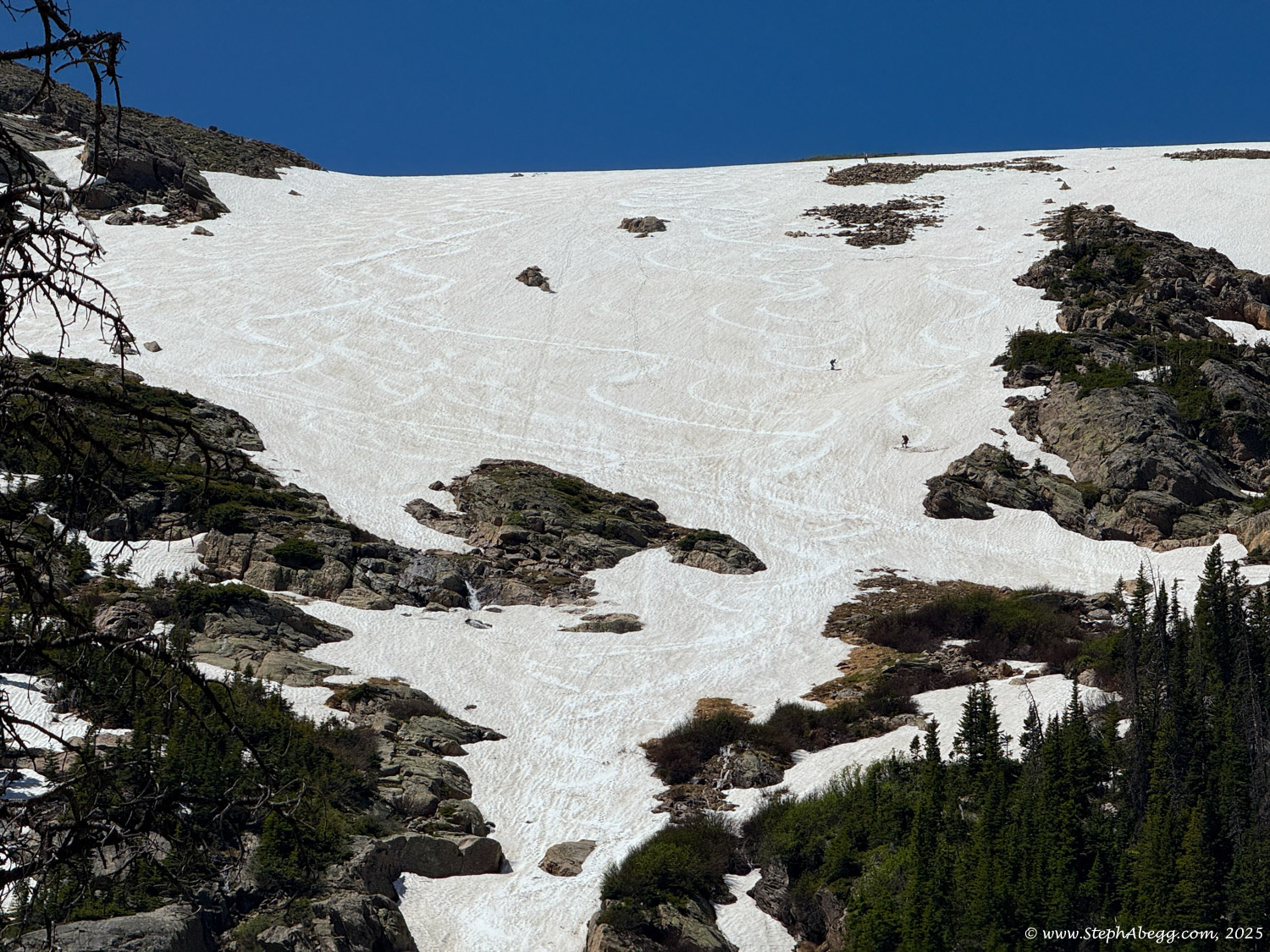
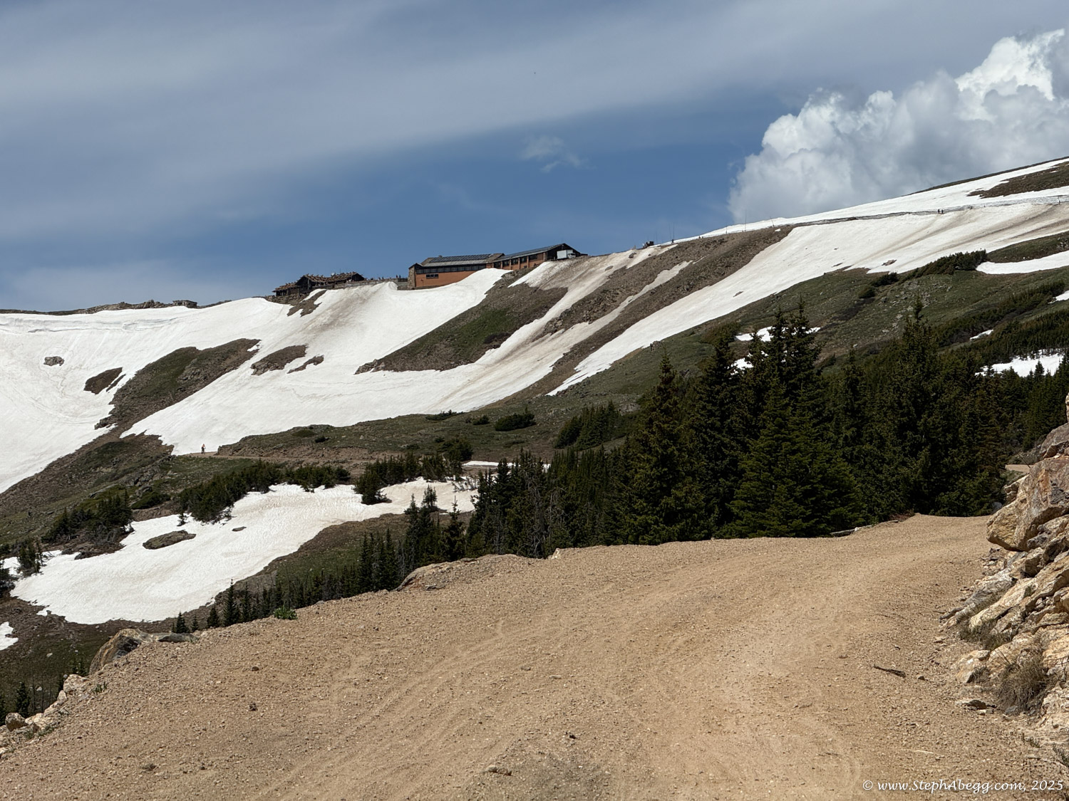
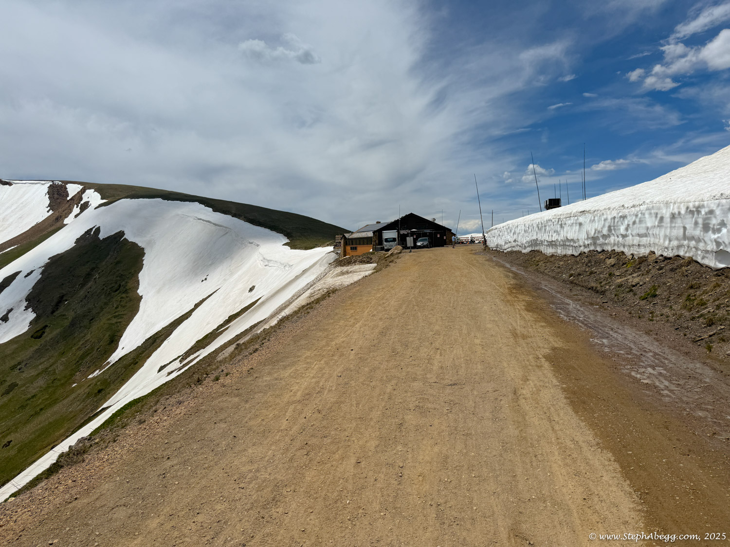
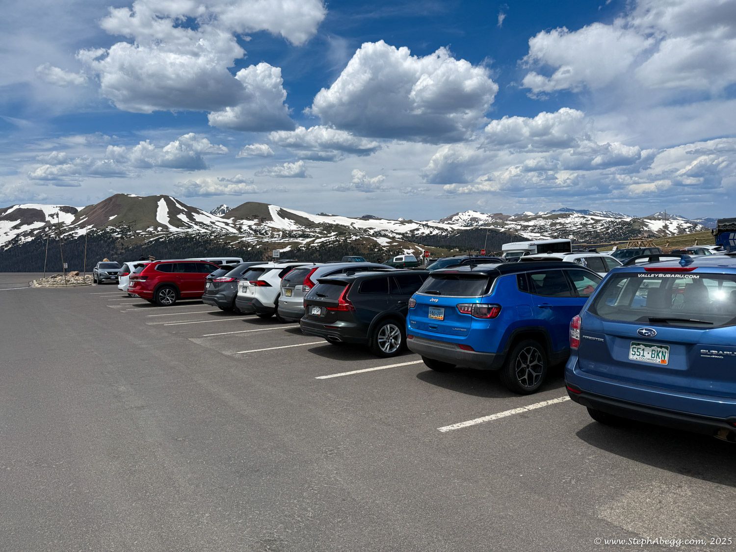
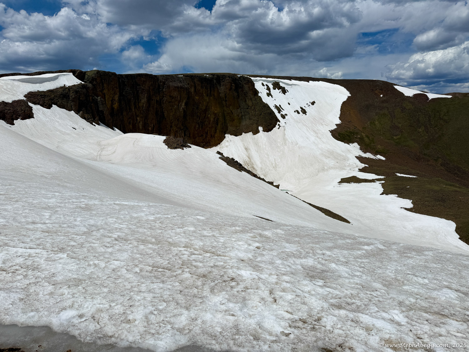
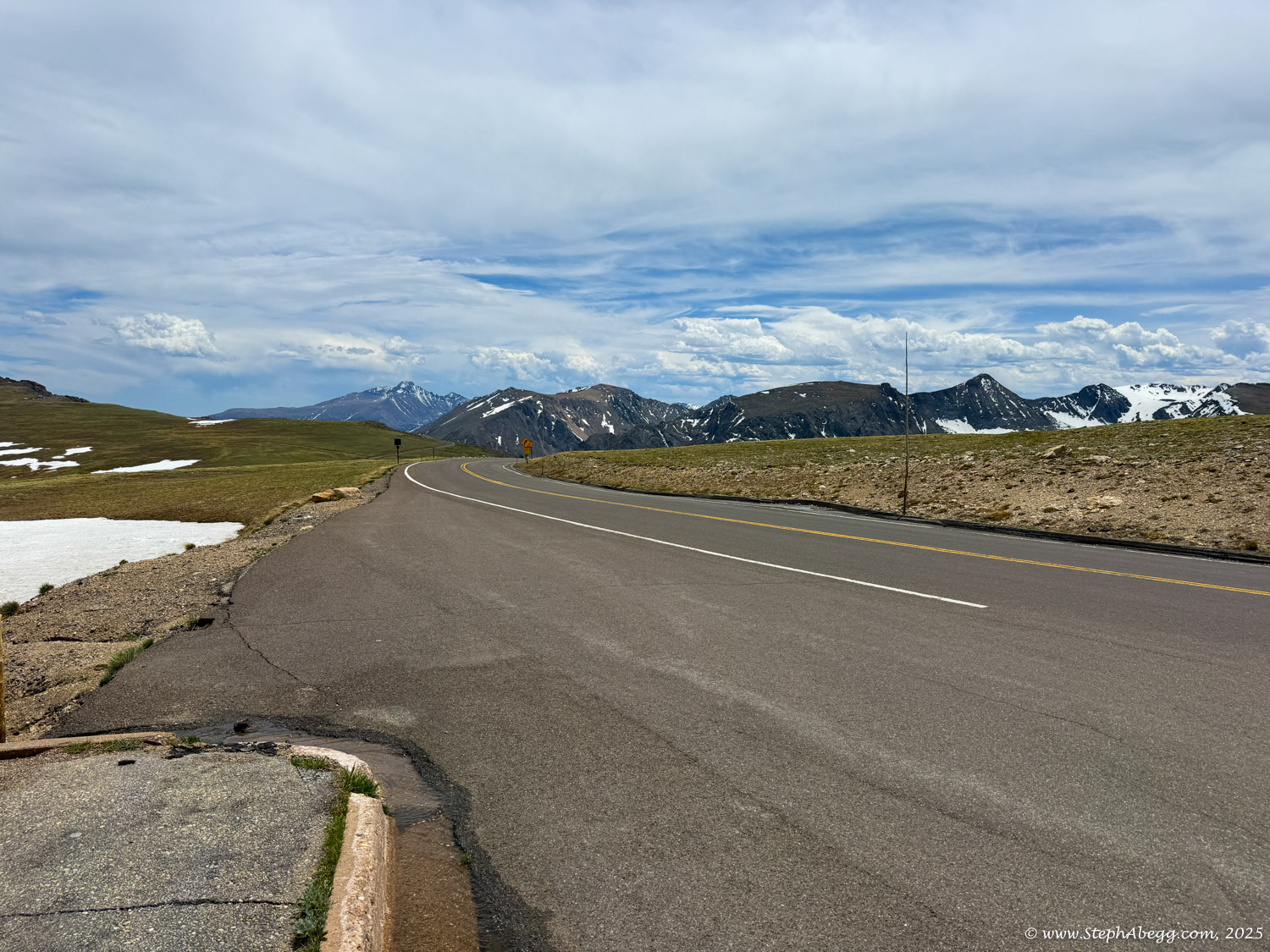
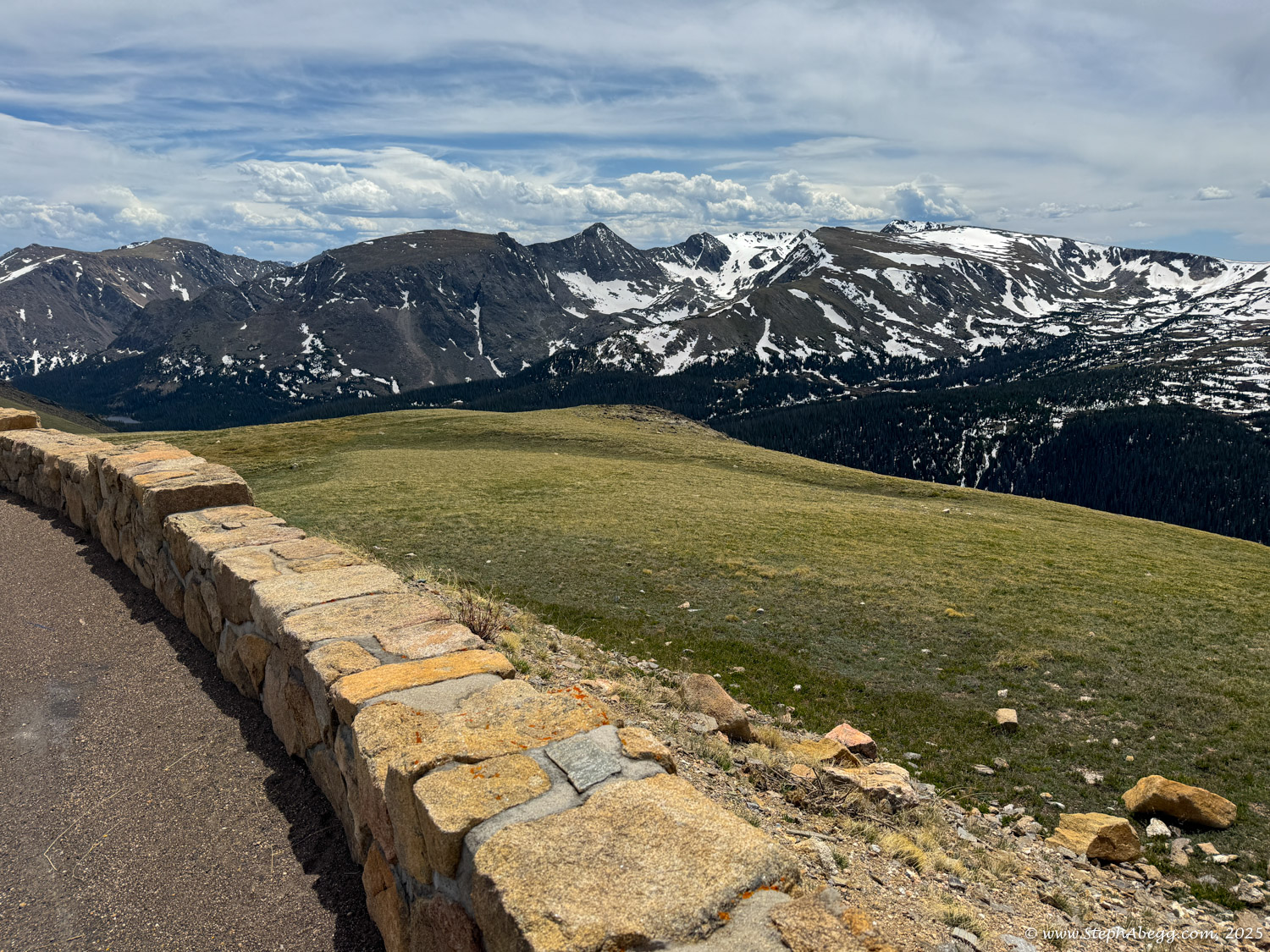
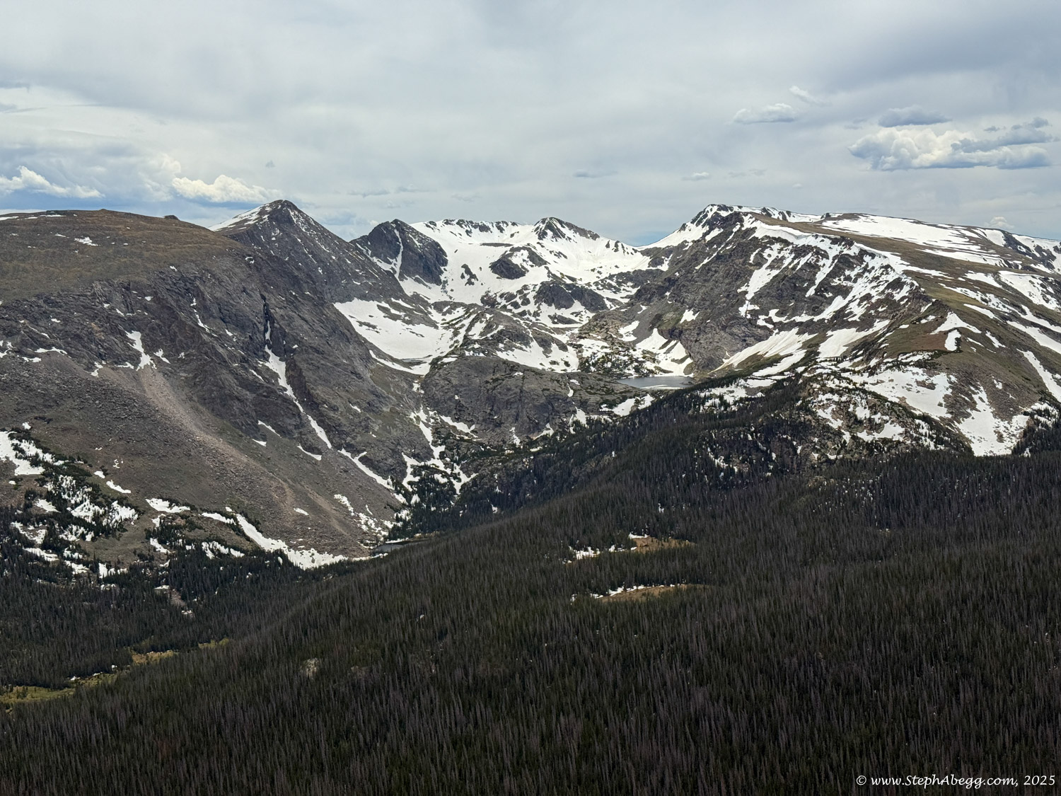
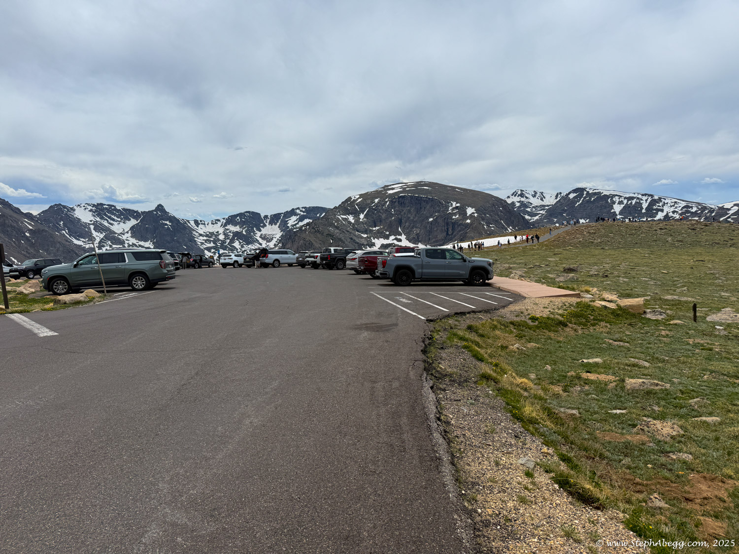
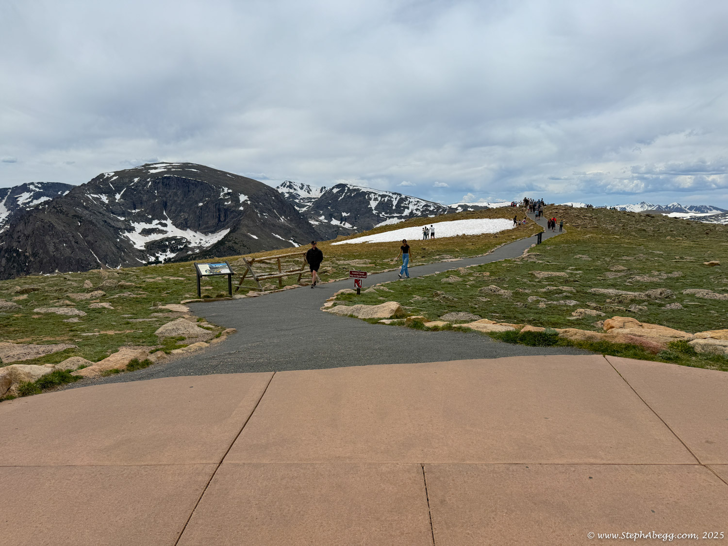
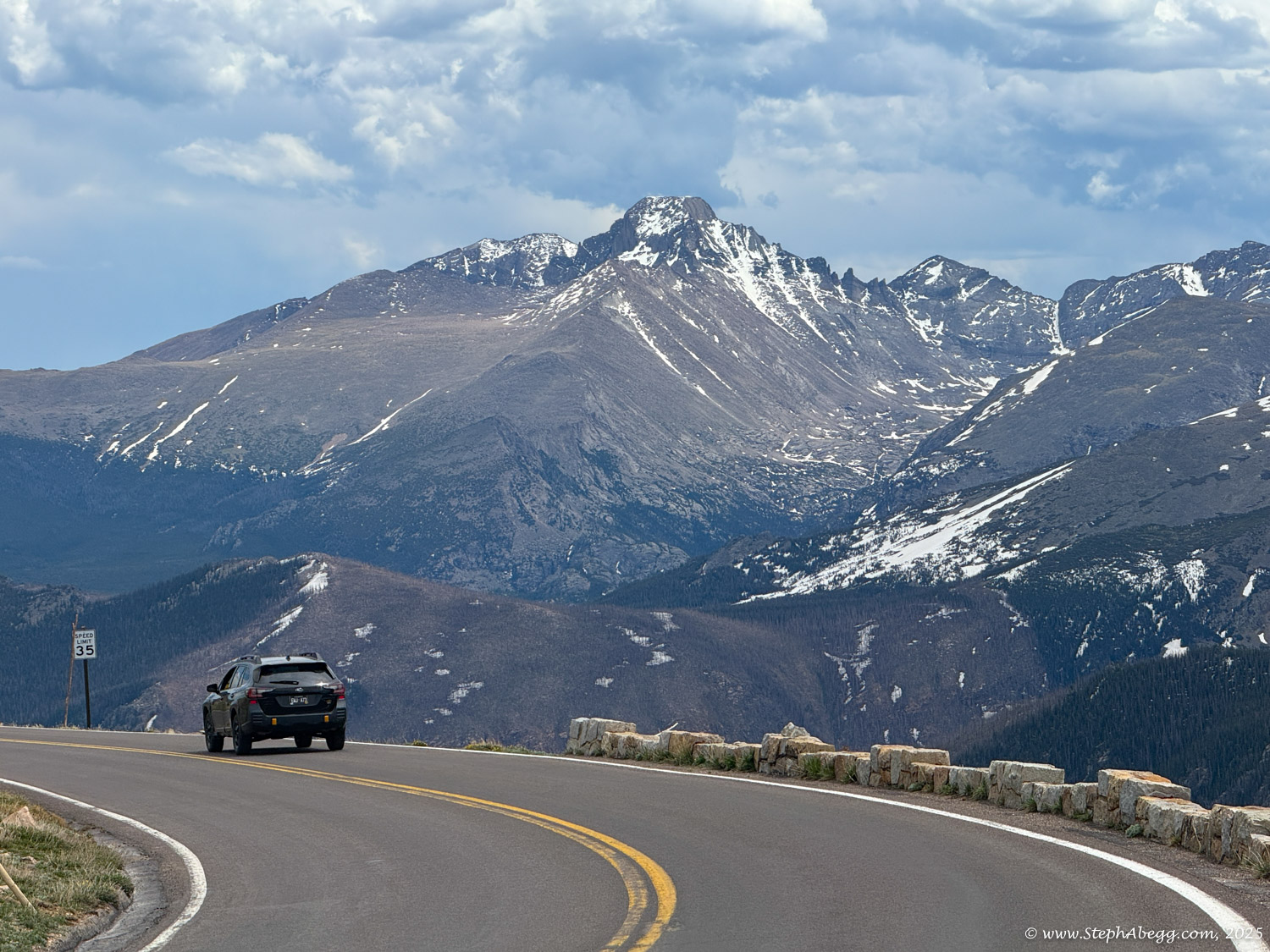
Trail Ridge Road is the highest continuous paved road in the United States, cresting at an elevation of 12,183 feet above sea level, about 4700 feet above Estes Park. The road begins in montane forests of aspen and ponderosa pine, enters thick subalpine forests of fir and spruce, and eventually yields to alpine tundra. Up on that windswept alpine world, conditions resemble those found in the Canadian or Alaskan Arctic. It's normally windy and 20 to 30 degrees colder than Estes Park or Grand Lake. The sun beats down with high-ultraviolet intensity. The vistas, best enjoyed from one of several marked road pullovers, are extravagant, sweeping north to Wyoming, east across the Front Range cities and Great Plains, south and west into the heart of the Rockies. But for all its harshness, the Trail Ridge tundra is a place of vibrant life and vivid colors. Pikas, marmots, ptarmigans and bighorn sheep are commonly seen. About 200 species of tiny alpine plants hug the ground. Trail Ridge road passes by the Alpine Visitor Center at Fall River Pass before it starts to head downhill to the west towards Grand Lake.

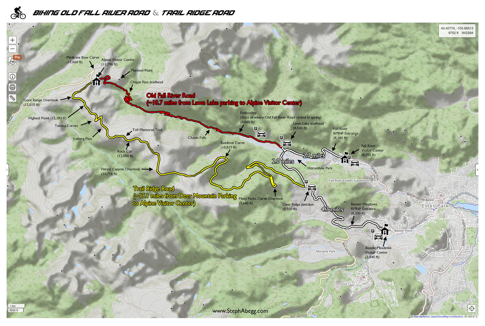
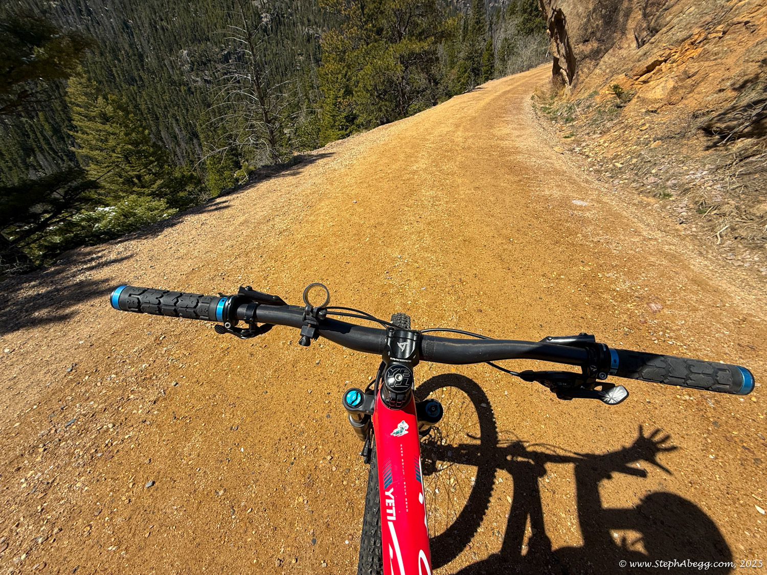
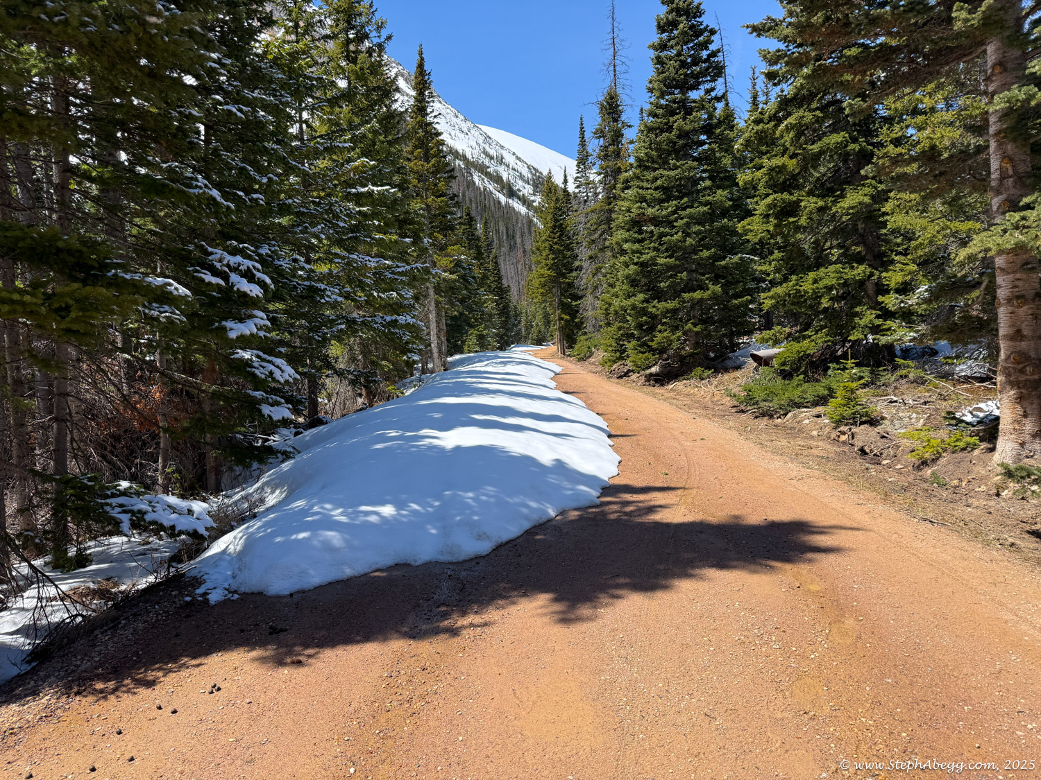
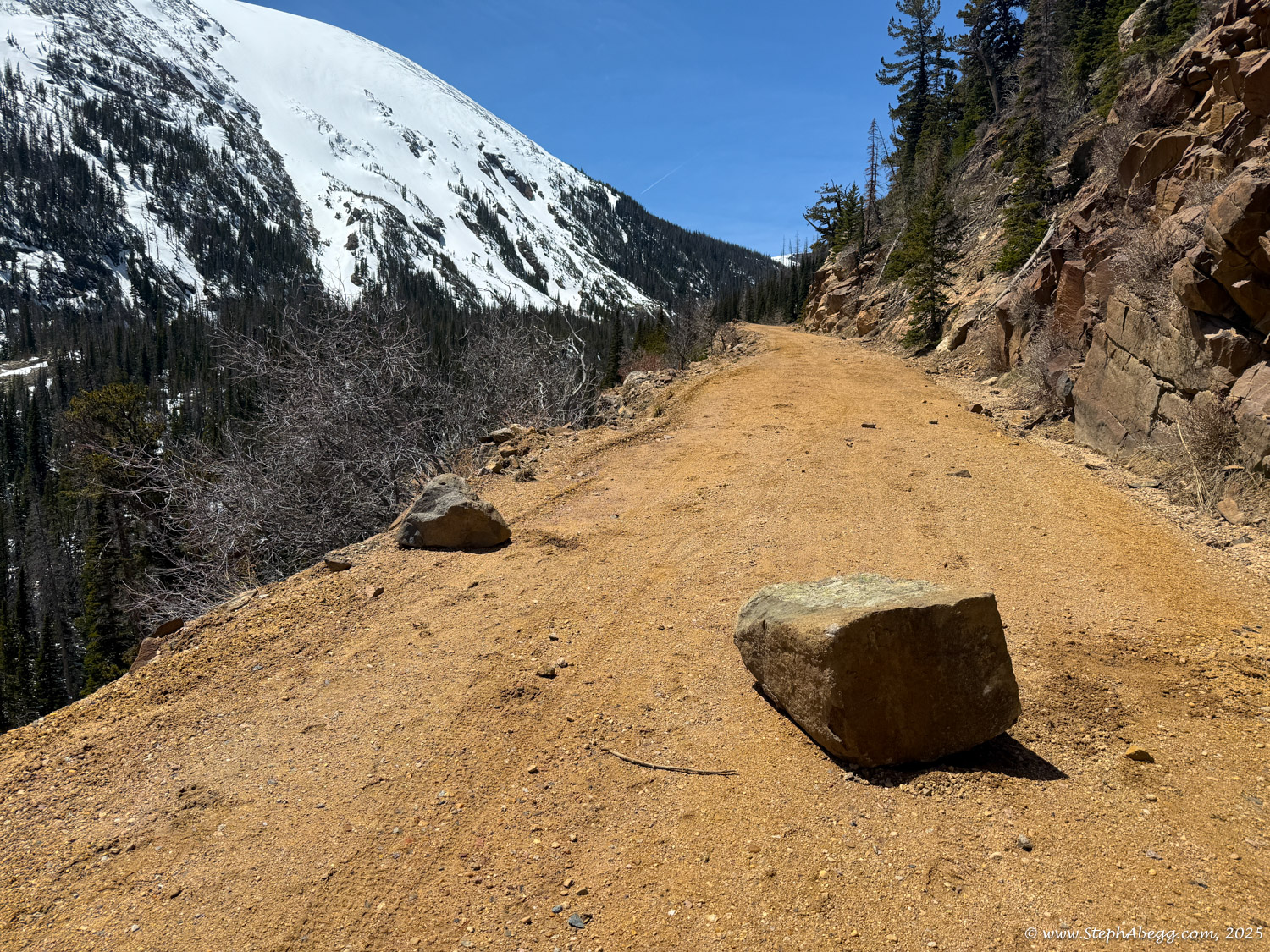
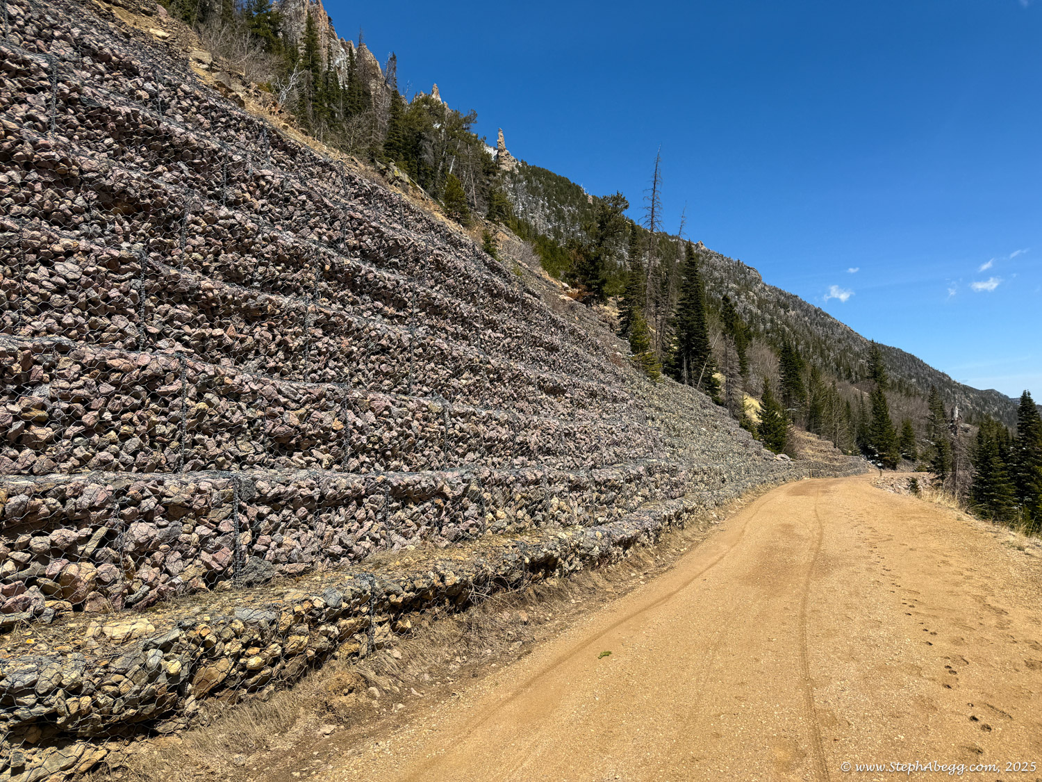
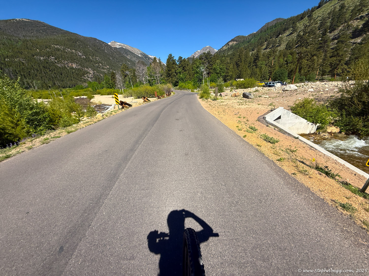
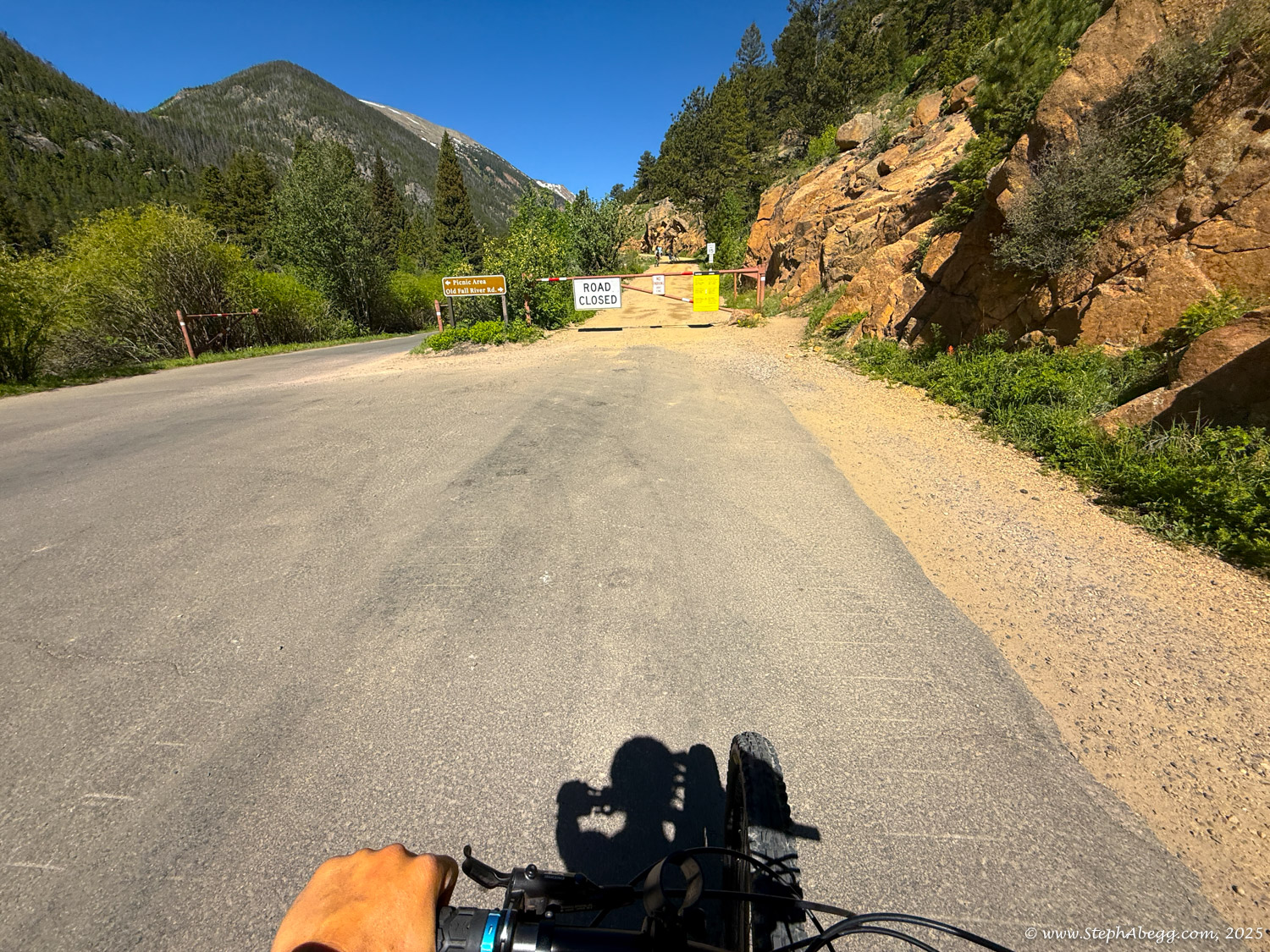
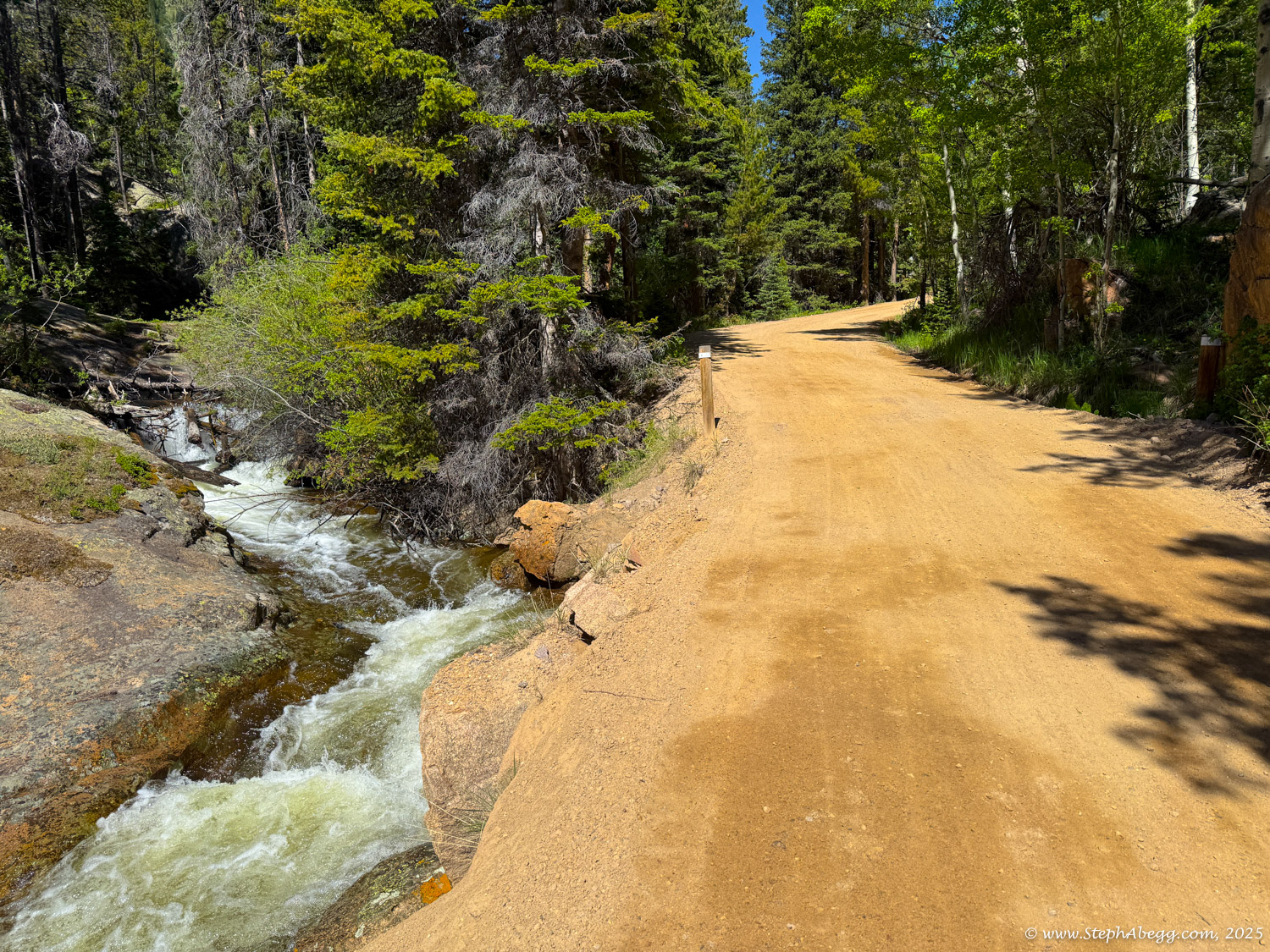
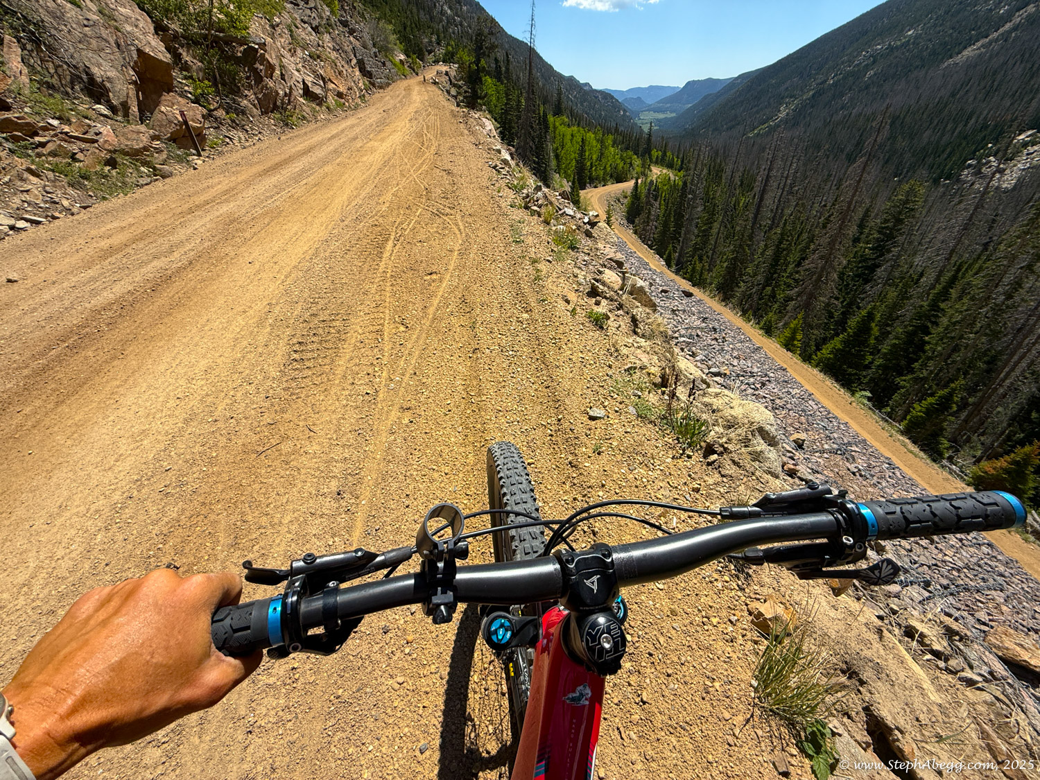
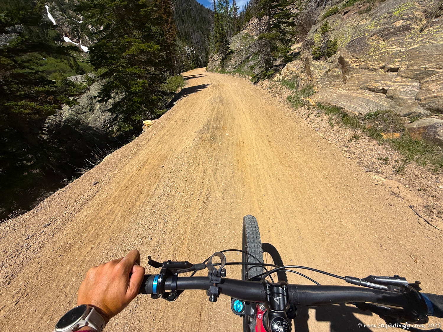
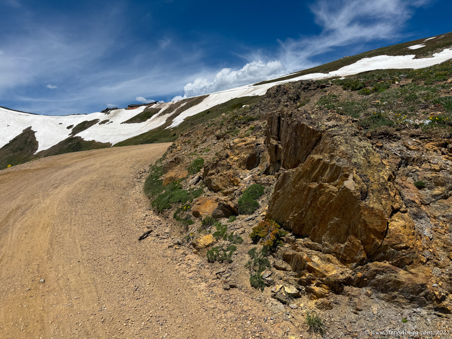
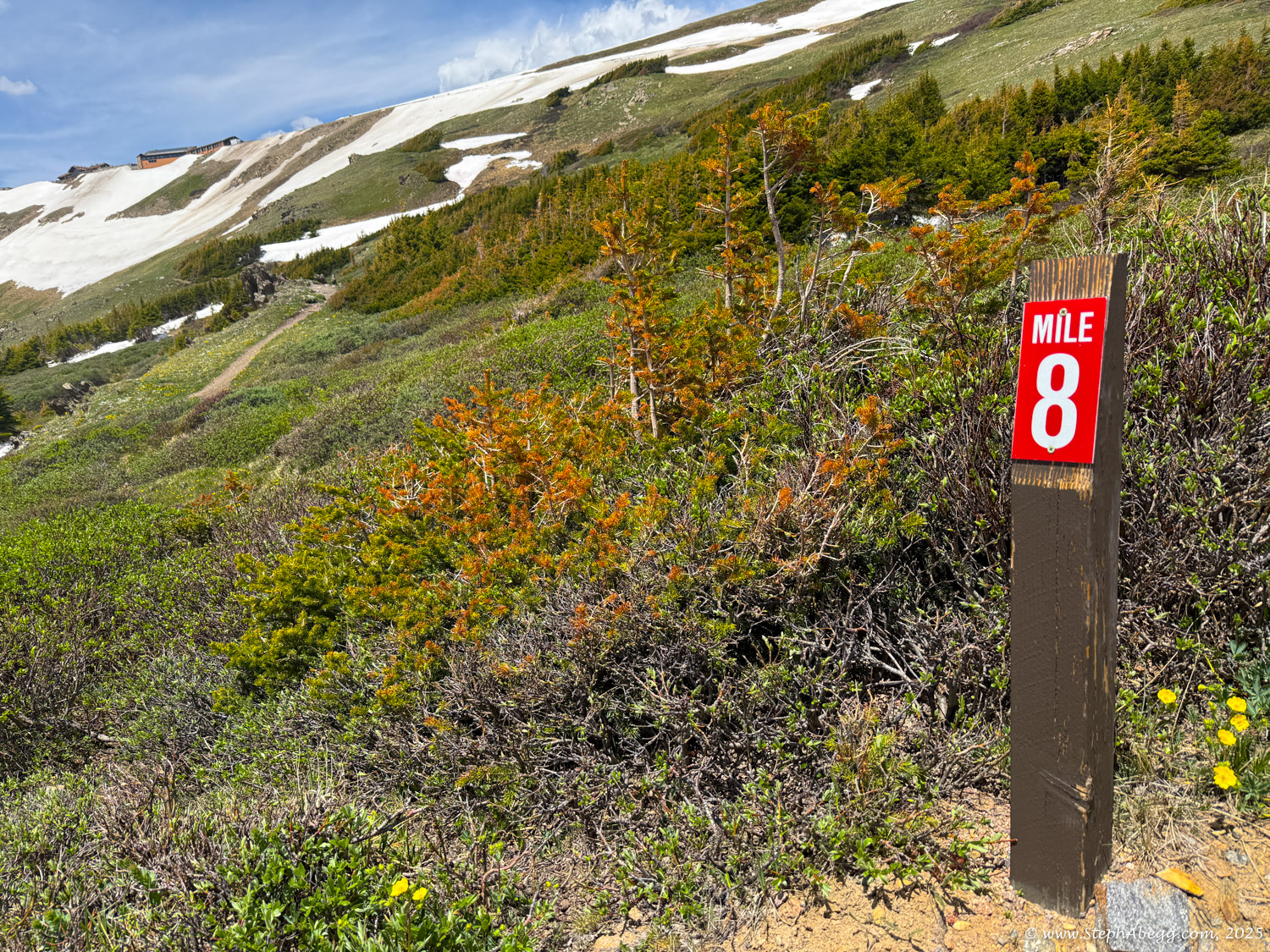
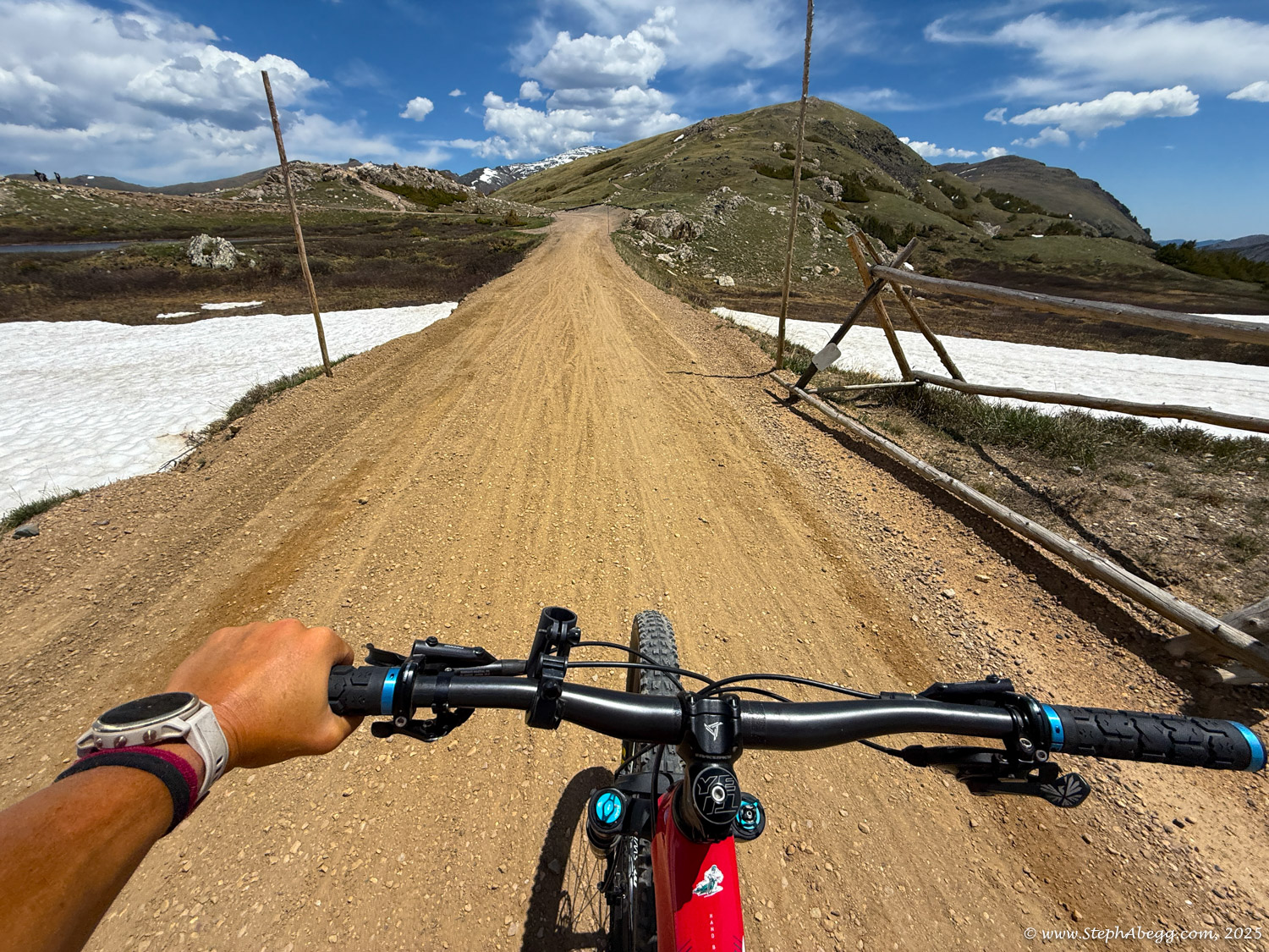
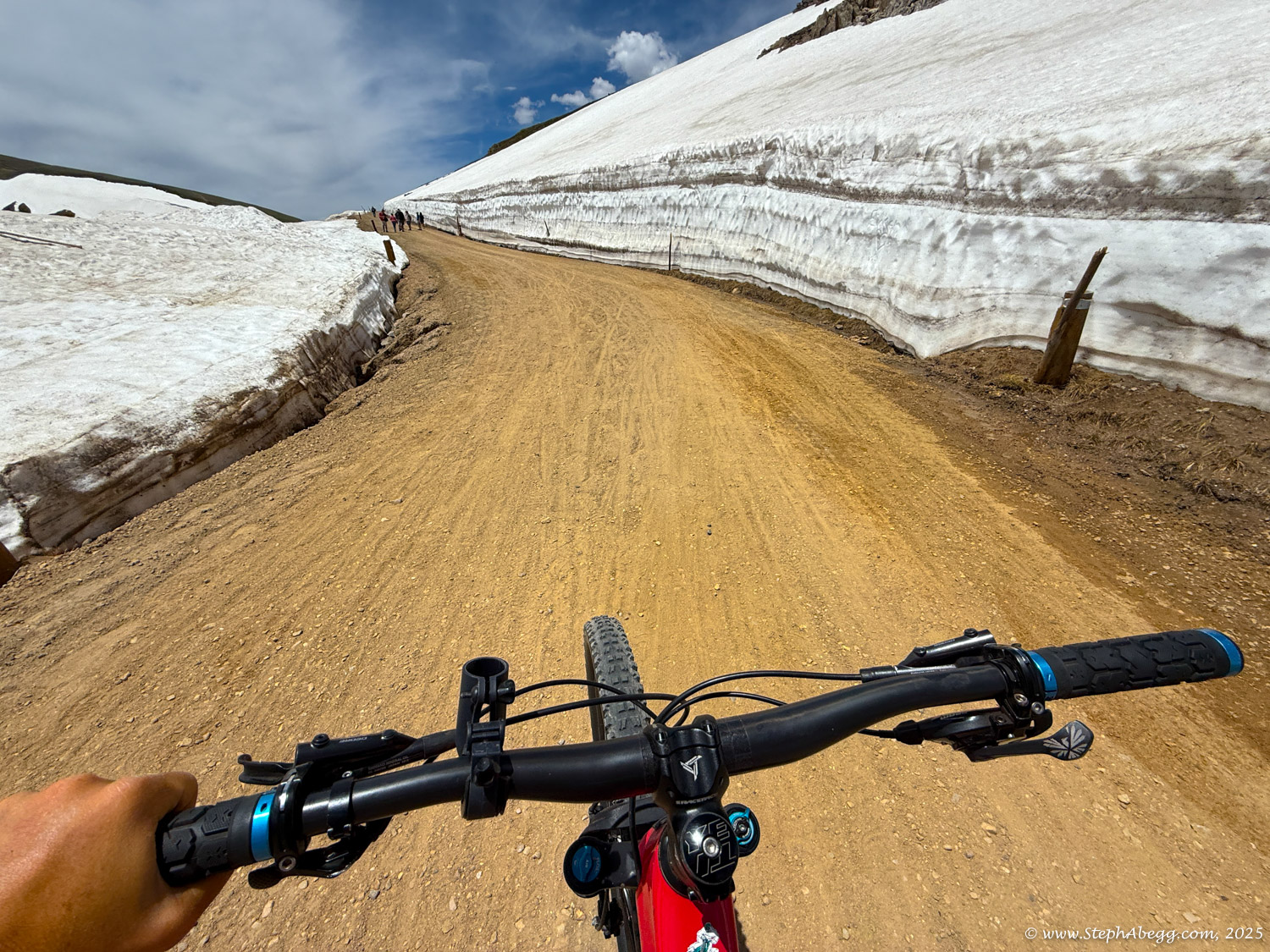
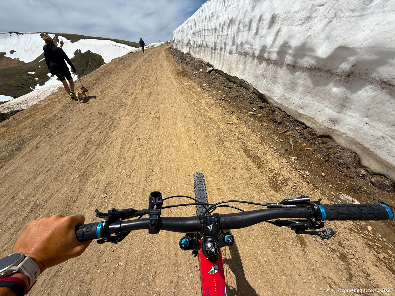
While Trail Ridge Road is a paved two-way road running east-west through the entire park, Old Fall River Road is a narrow, and unpaved one-way dirt road on the west side of RMNP that climbs 11 miles uphill from Endovalley to the Alpine Visitor Center at Fall River Pass, which is at an elevation of 11,796 feet. Old Fall River Road is known for its steep grades, sharp switchbacks, and stunning views, offering a unique experience compared to the newer and more continuous Trail Ridge Road. The road was constructed between 1913 and 1920, making it the first auto route in the park. It's also a route that was previously used by Native American hunters.

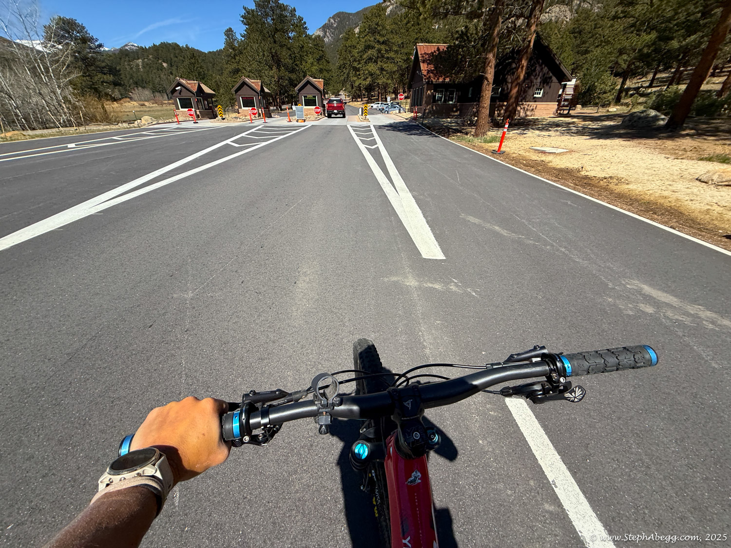
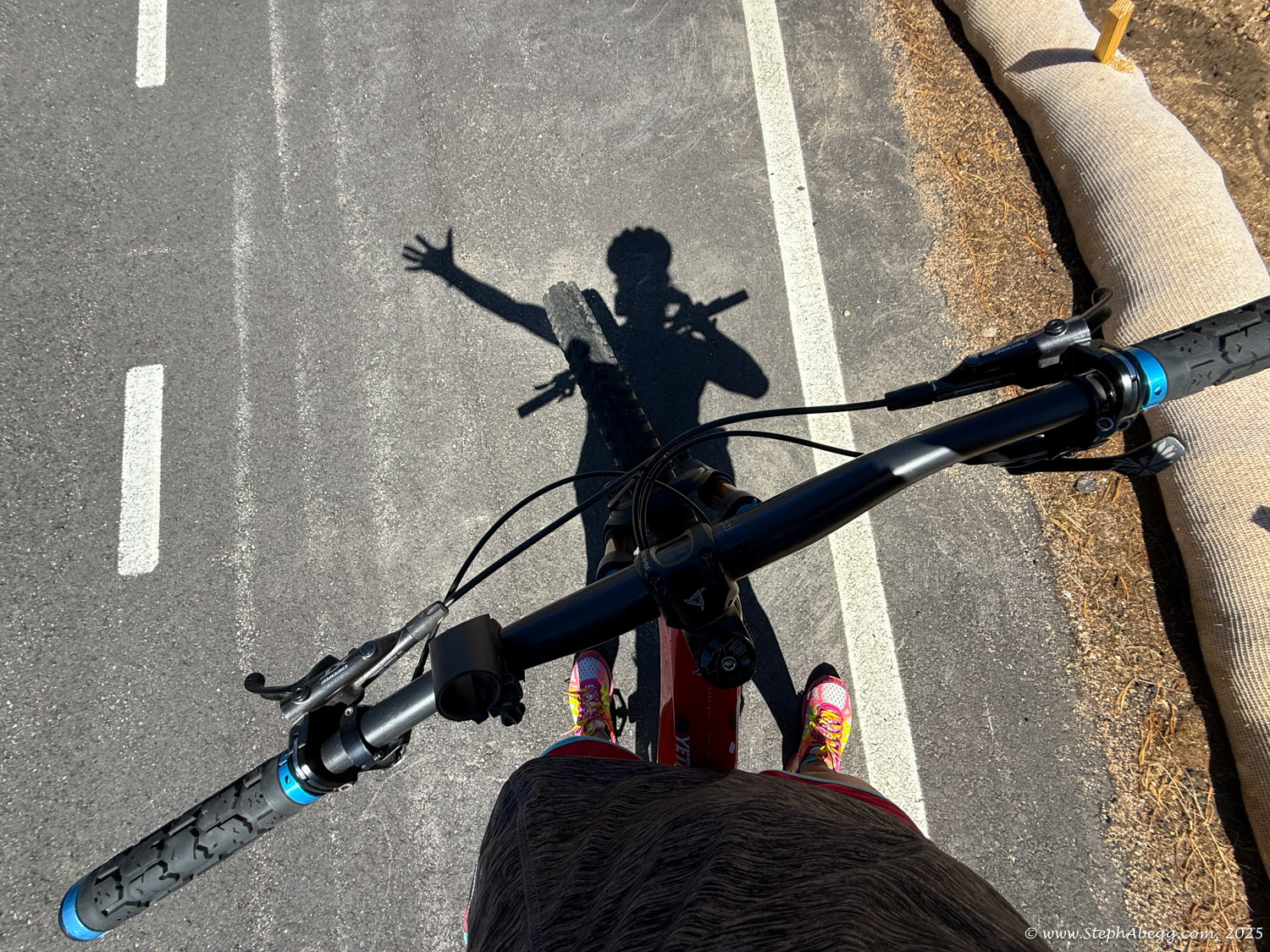
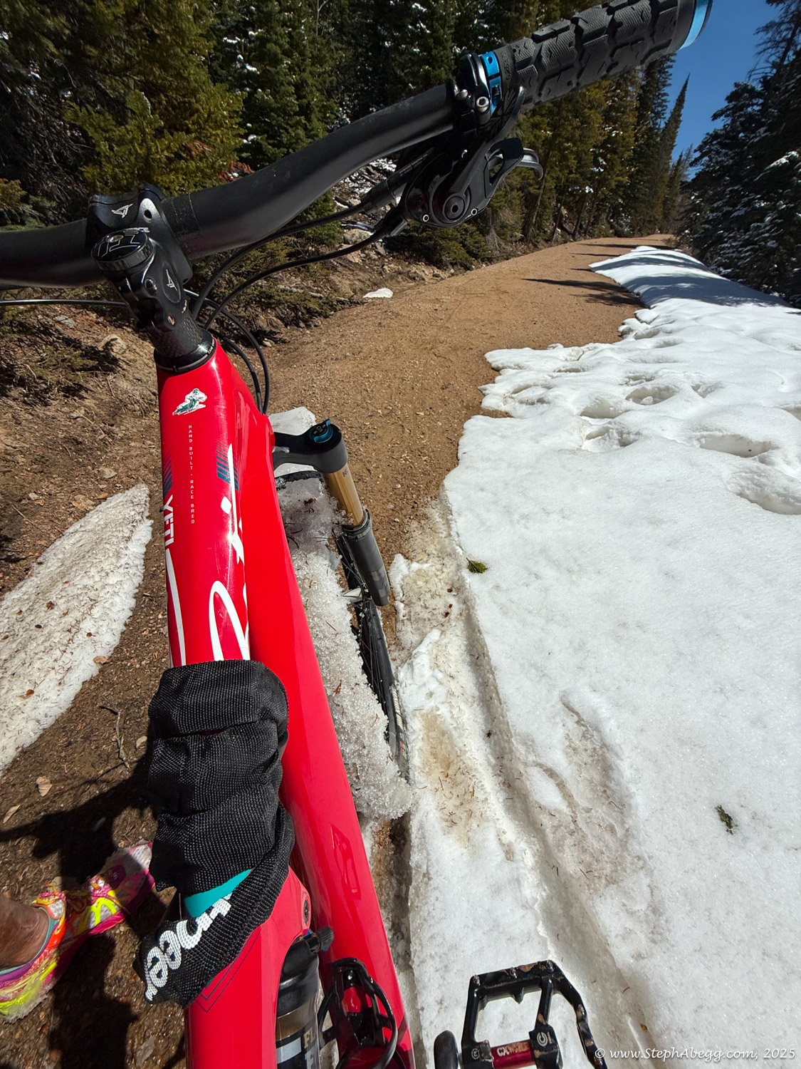
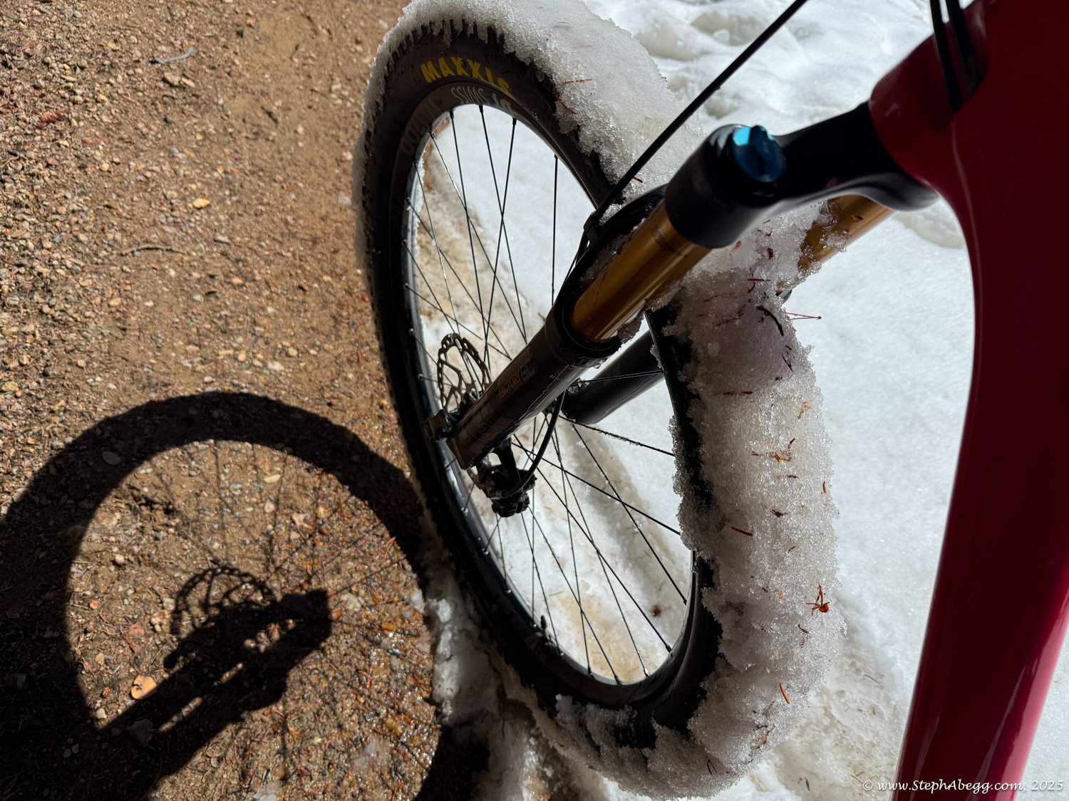
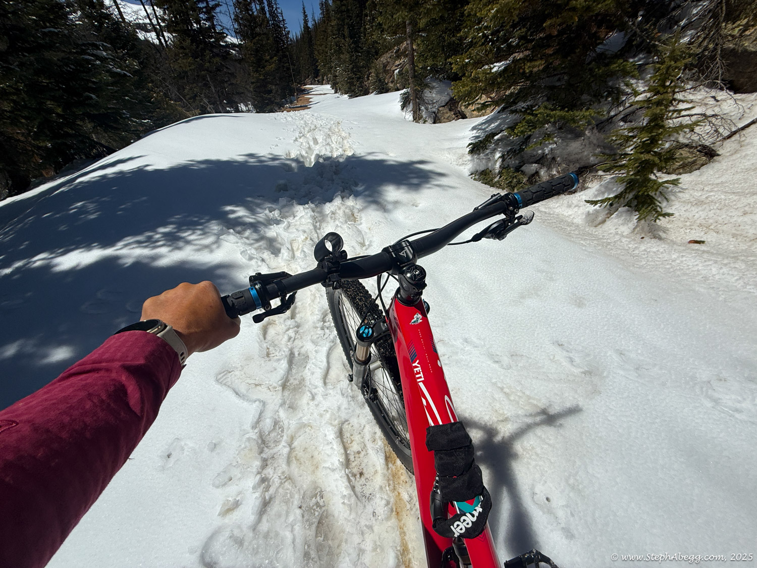
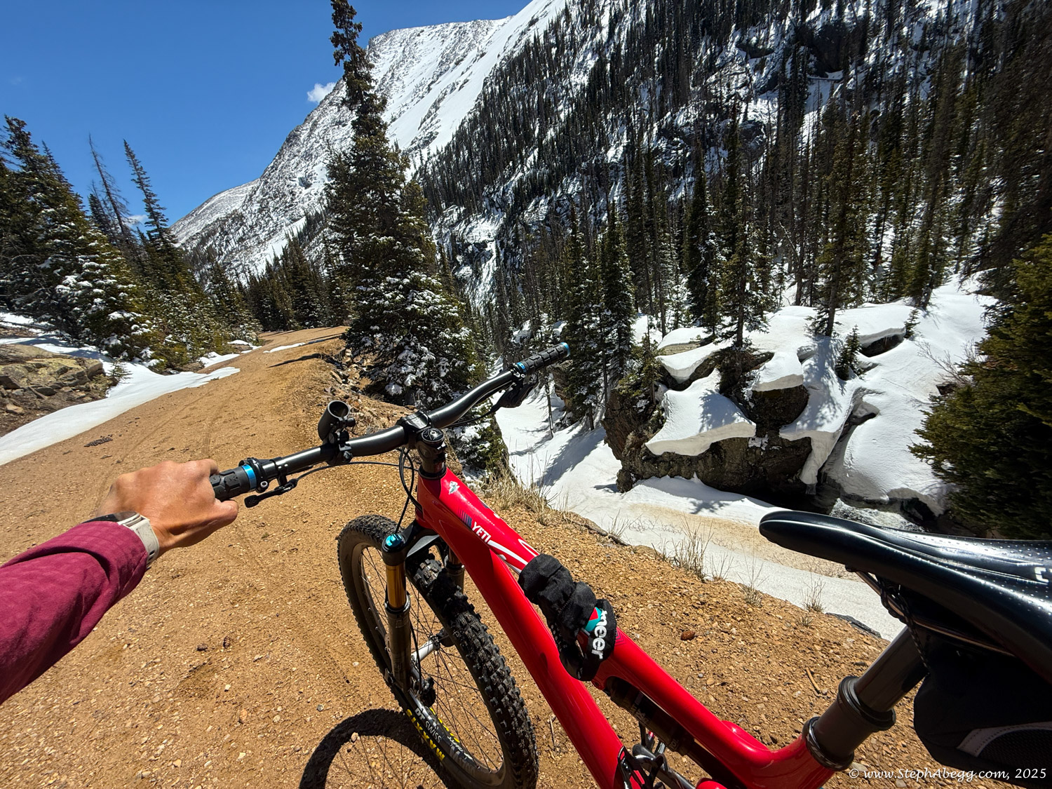
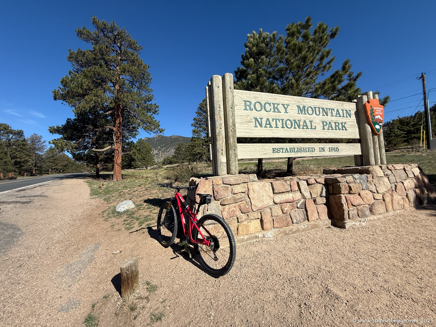
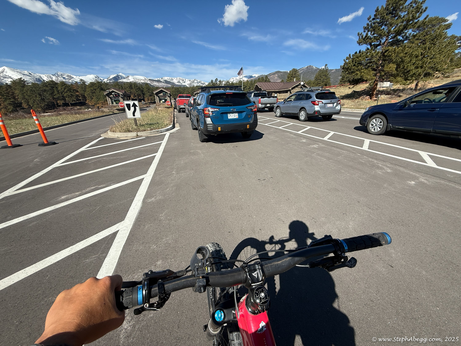
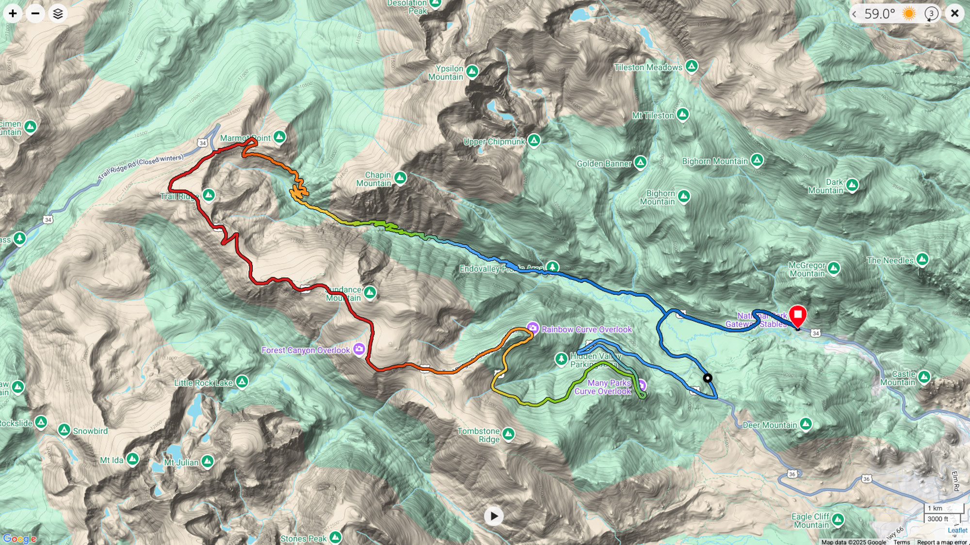
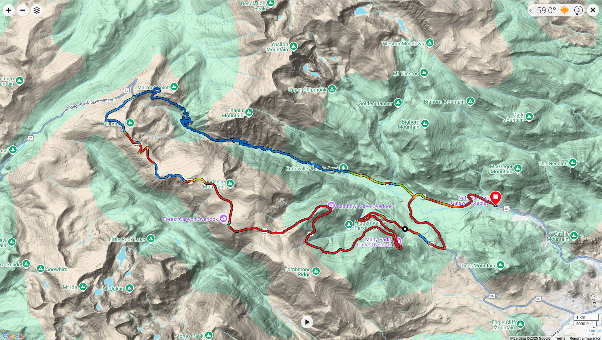
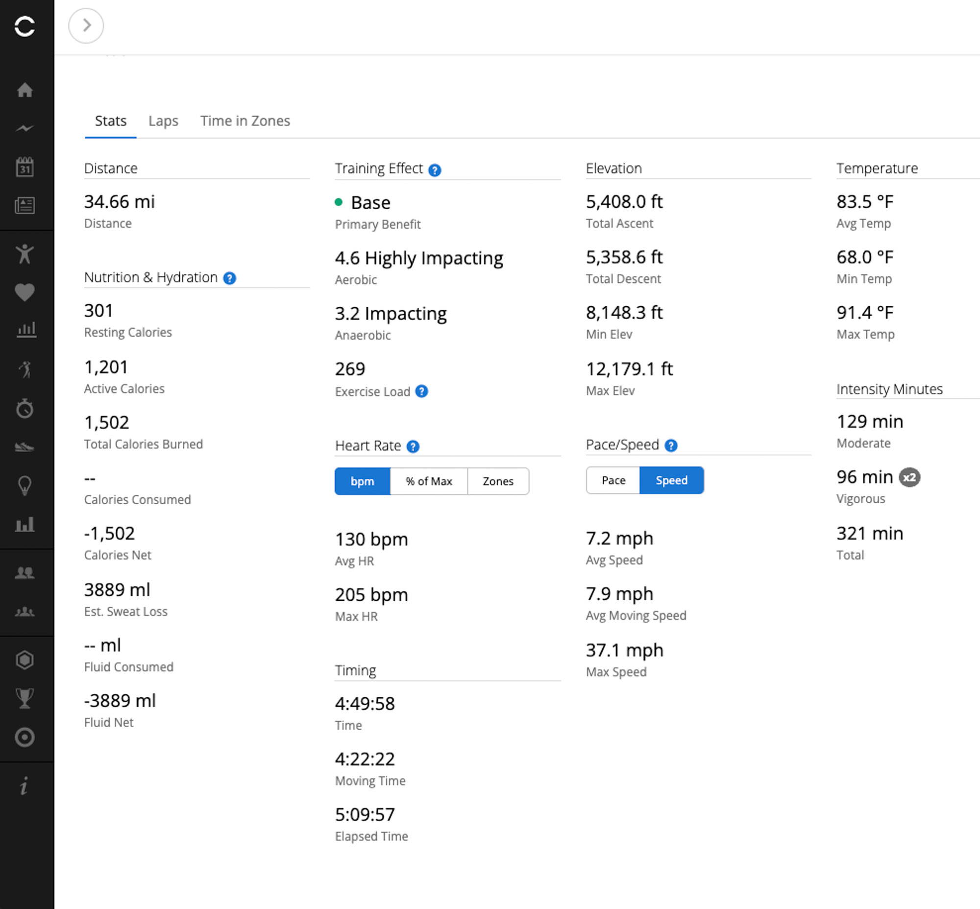
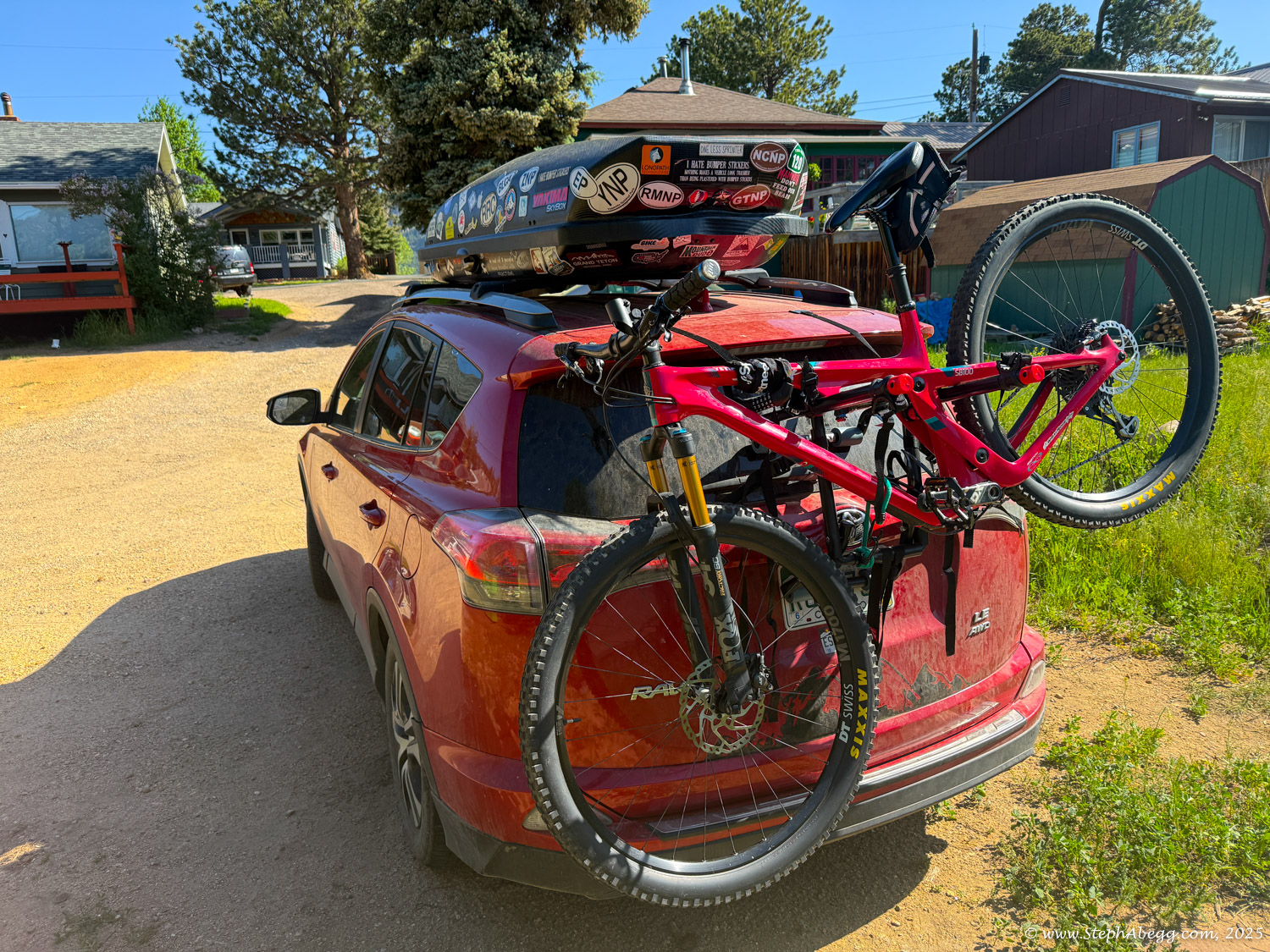
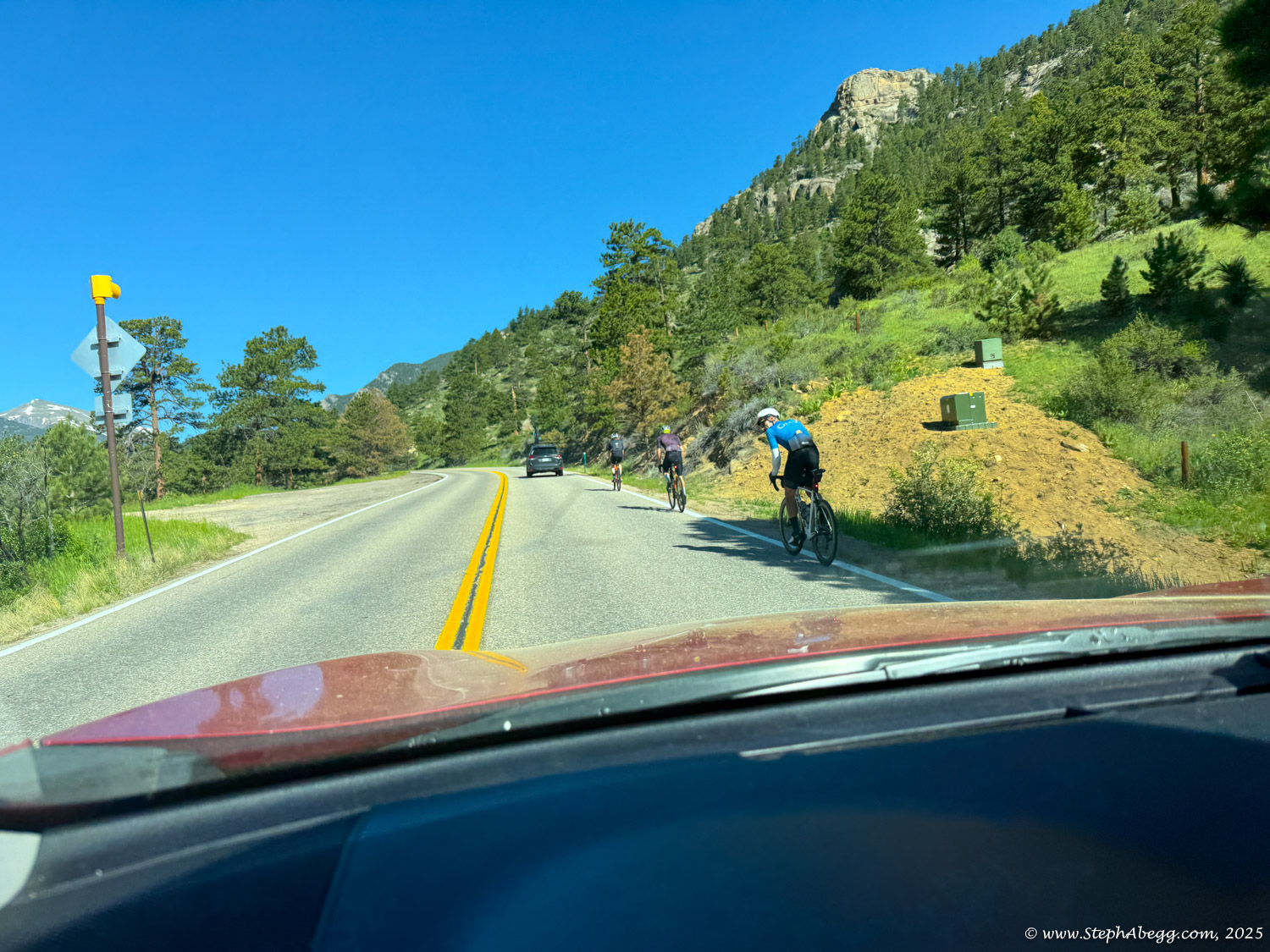
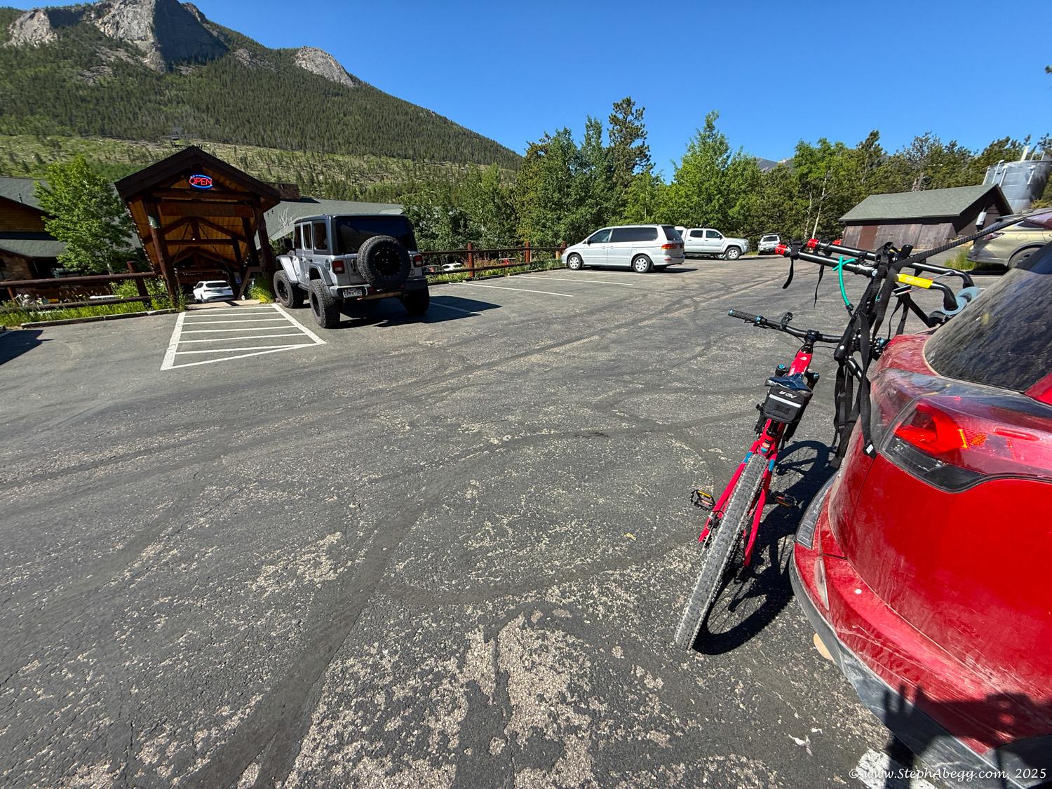
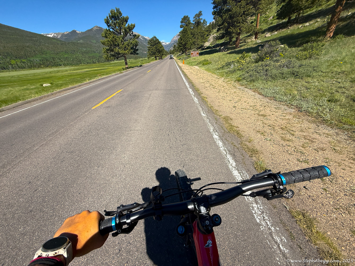
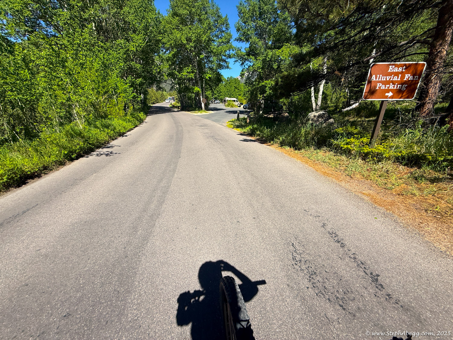
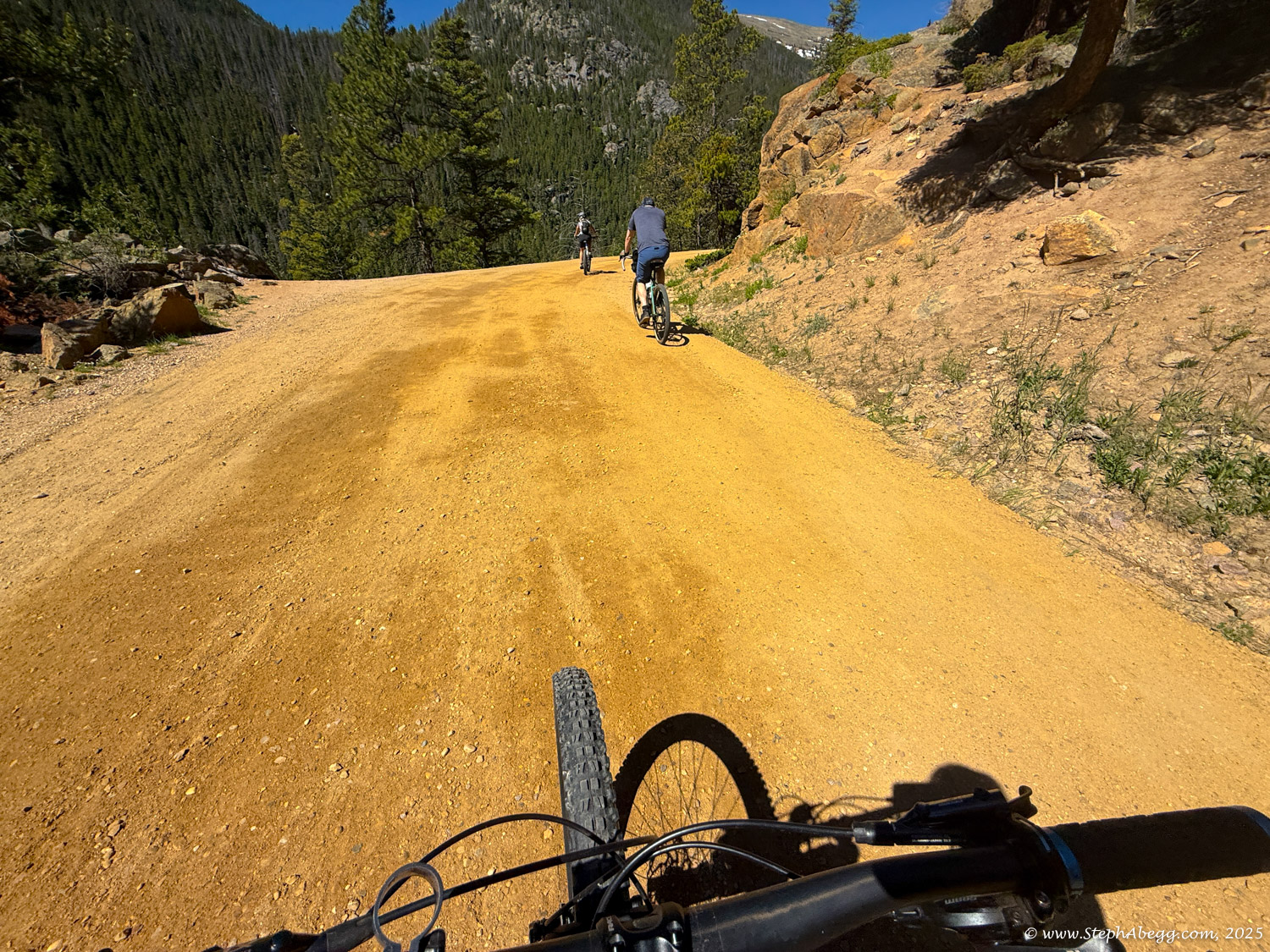
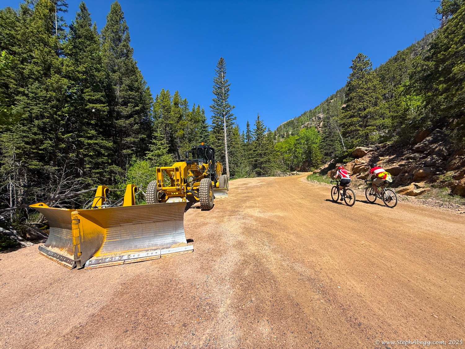
I am used to experiencing my backyard RMNP via some rock face or hiking some trail, so biking is a unique way for me to enjoy the area. I have biked Old Fall River and Trail Ridge roads only a few times. It is fun and unique to bike them before they are opened to vehicle traffic. In June 2025, I did my most comprehensive bike ride, a 35-mile loop (with 5000+ ft gain/loss) going up Old Fall River Road and down Trail Ridge Road, starting and ending at the Fall River entrance to RMNP. The following page gives photos from my solo biking adventures. And yes mom and dad, I wore a helmet. At least when vehicles or downhill was involved.

Map

This map shows both Old Fall River Road and Trail Ridge Road. In June 2025, I biked a 35-mile loop (with 5000+ ft gain/loss) going up Old Fall River Road and down Trail Ridge Road,starting and ending at the Fall River entrance to RMNP.

CLICK TO ENLARGE

Short Article & Photos in the Estes Park News

A short article with a few photos from my May 2025 biking adventures appeared in the Estes Park News the following Friday. A clip of the article is below.

Trip Reports

CLICK ON TRIP REPORT TO DROP DOWN CONTENT

I biked Trail Ridge Road on the day before it opened to cars for the season. It is usually opened to cars around Memorial Day. I started at Rainbow Curve (where the vehicle road closure started) and had hoped to bike all of the way to the Alpine Visitor Center, but the road was closed to bikers at the Toll Memorial Trail just past Rock Cut, due to continued last minute plow activity. A nice afternoon work break bikeride.

Stats

- Start/Finish: Rainbow Curve (closed to vehicles past this point)
- Turn around point: Toll Memorial Trail just past Rock Cut (closed to all past this point)
- No stats recorded. Probably around 10 miles.

Photos

I felt like giving my bike some exercise, so I pumped up the tires and headed up Old Fall River Road, with the intent to bike as far as I could before I hit snow. I hit snow around 10,500 feet. I started and finished the bike ride from my home in Estes Park, giving some more mileage than just starting at the RMNP entrance.

Stats

- Start/Finish: My house in Estes Park
- Turn around point: When I hit snow around 10,500 feet
- High point: ~10,500 ft
- Distance: 27.4 miles
- Elevation gain/loss: ~3000 ft net gain/loss
- Duration: 4 hours 30 minutes

Photos

I had had so much fun on my bike ride up Old Fall River Road a couple of days previous, that I decided to bike up Trail Ridge Road as far as I could go, which ended up being Rainbow Curve, where the road was closed to even bikers and pedestrians due to continued plowing activity. I started at my home in Estes Park rather than at the RMNP entrance, adding a bit more mileage to the day.

Stats

- Start/Finish: My house in Estes Park
- Turn around point: Rainbow Curve (closed to all past this point)
- High point: 10,875 ft
- Distance: 30.4 miles
- Elevation gain/loss: ~4000 ft net gain/loss
- Duration: 4 hours 15 minutes

Photos

Old Fall River Road typically opens to vehicle traffic in early summer, depending on snowpack. Snowpack seemed mediocre this year, so I figured the road would be opening soon. I wanted to bike it before there were a constant stream of cars. I had never biked it all the way to the Alpine Visitor Center yet.

The initial plan had been to join Jackie and Holly, but Jackie was feeling under the weather. I decided to go anyway - I would miss the company, but not feel like I was holding them back by my non-biker pace and frequent photo stops. I parked at the Old Fall River Visitor Center. While you do still need to pay (or have an interagency parks pass) if you enter RMNP by bike, you do not need to get a timed entry. It was a gorgeous warm day (mid-80's in Estes Park) and several other bikers had the same idea, evidenced by the number of bikers I saw on Old Fall River Road. I also concluded that I am a slow biker (I was passed by several bikers while we were both in motion) but that stamina is my strong point (I passed an equal number of bikers--some of whom had blazed past me earlier--while they were stopped taking a break). There was no snow on the road, so I am guessing the road will soon be opened for vehicle traffic. The entire ascent from the Old Fall River entrance to the Alpine Visitor Center took just a bit over 3 hours. I took a brief break at the Alpine Visitor Center, and mulled over my options to reverse my route and descend Old Fall River Road (no cars was nice, but gravel meant a nerve-wracking brake-fest descent) or Trail Ridge Road (the pavement and less brake wear and vast views from open tundra would be nice, but I worried about the lack of median and the distracted sight-seeing drivers). In the end, I opted for the idea of doing a loop. This added a bit of mileage and elevation gain to my day as well. I was happy for my choice, as I highly enjoyed coasting for several miles, and traffic was not an issue (traffic was light - it's not quite summer yet). 

My Garmin watch told me I burned 1200 active calories. Biking is great exercise! I was more than happy to sit around for the rest of the day.

Below are some stats and photos from my biking adventure.

Stats

- Start/Finish: Old Fall River entrance to RMNP
- Turn around point: None! I did a loop. High point was 12,183 feet on Trail Ridge Road.
- High point: 12,183 ft
- Distance: 34.7 miles
- Elevation gain/loss: ~5400 ft net gain/loss
- Duration: 4 hours 50 minutes

Video

Photos

Comments Pertaining to this Page / Trip Report

Useful beta. Updated route information. Corrections. Historical notes. Interesting facts. No fluff please.
Please do not put links in your comment, as my spam filter will filter those comments out.
Leave a Reply

Your email address will not be published. Required fields are marked *