Intro
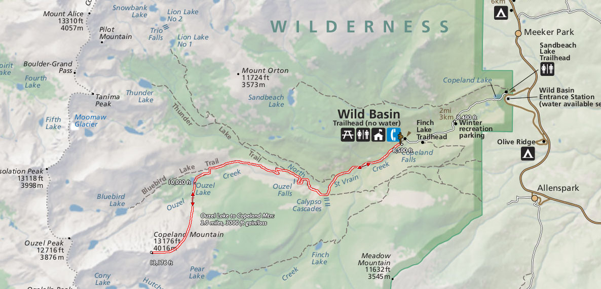
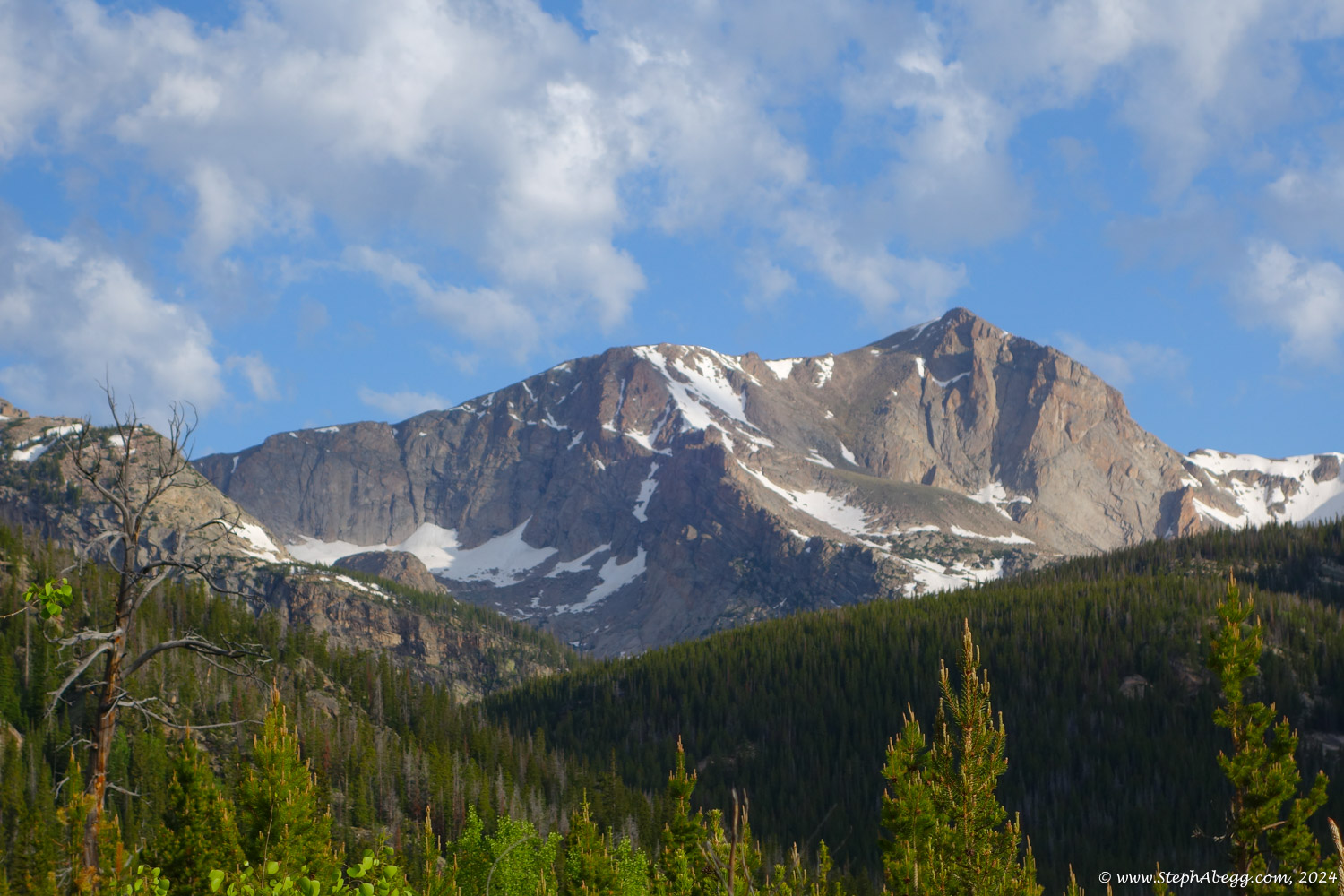
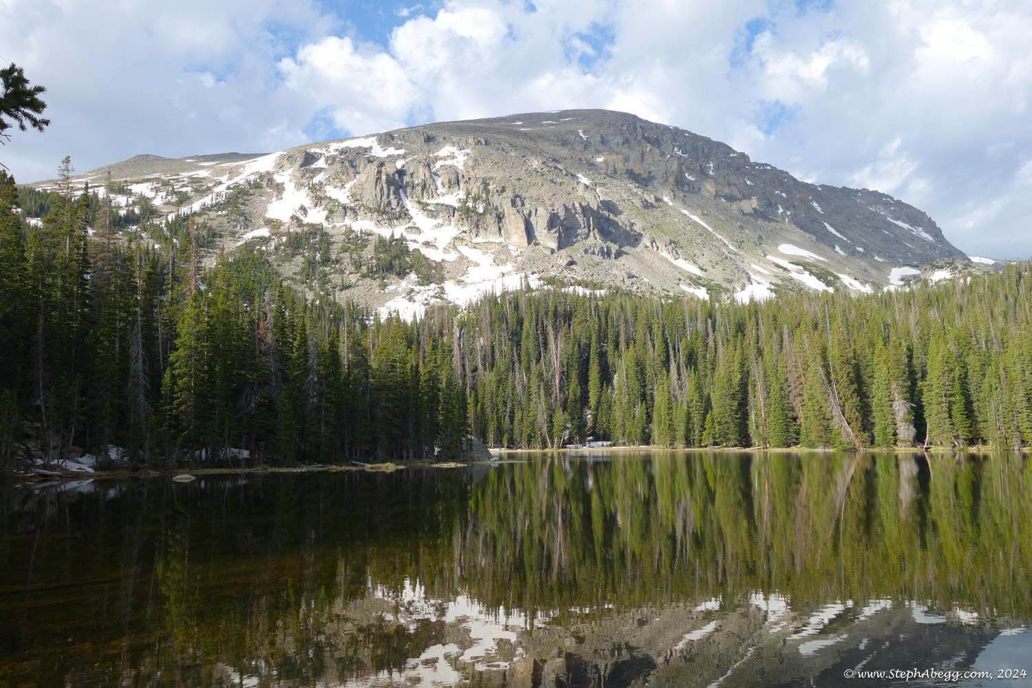
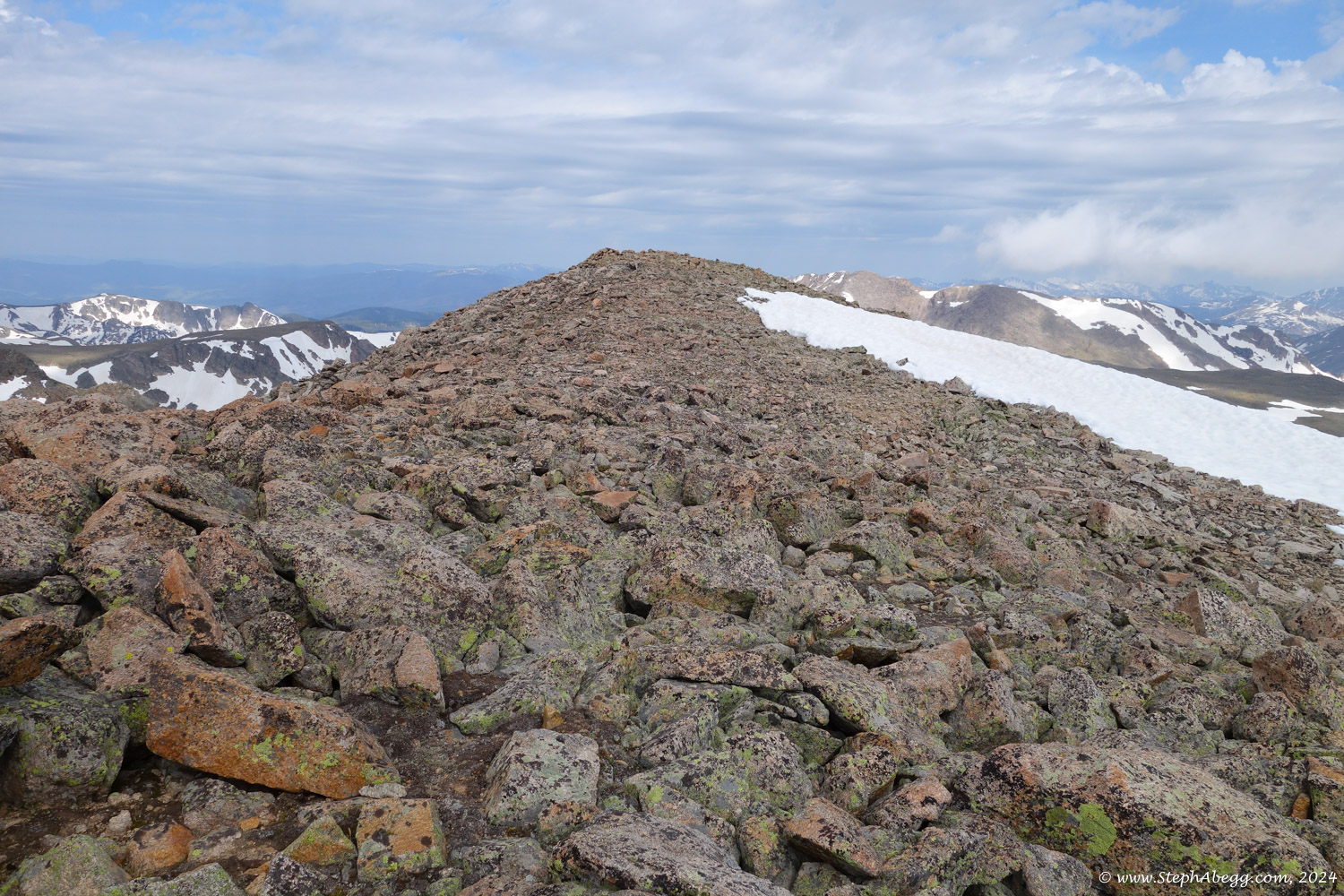
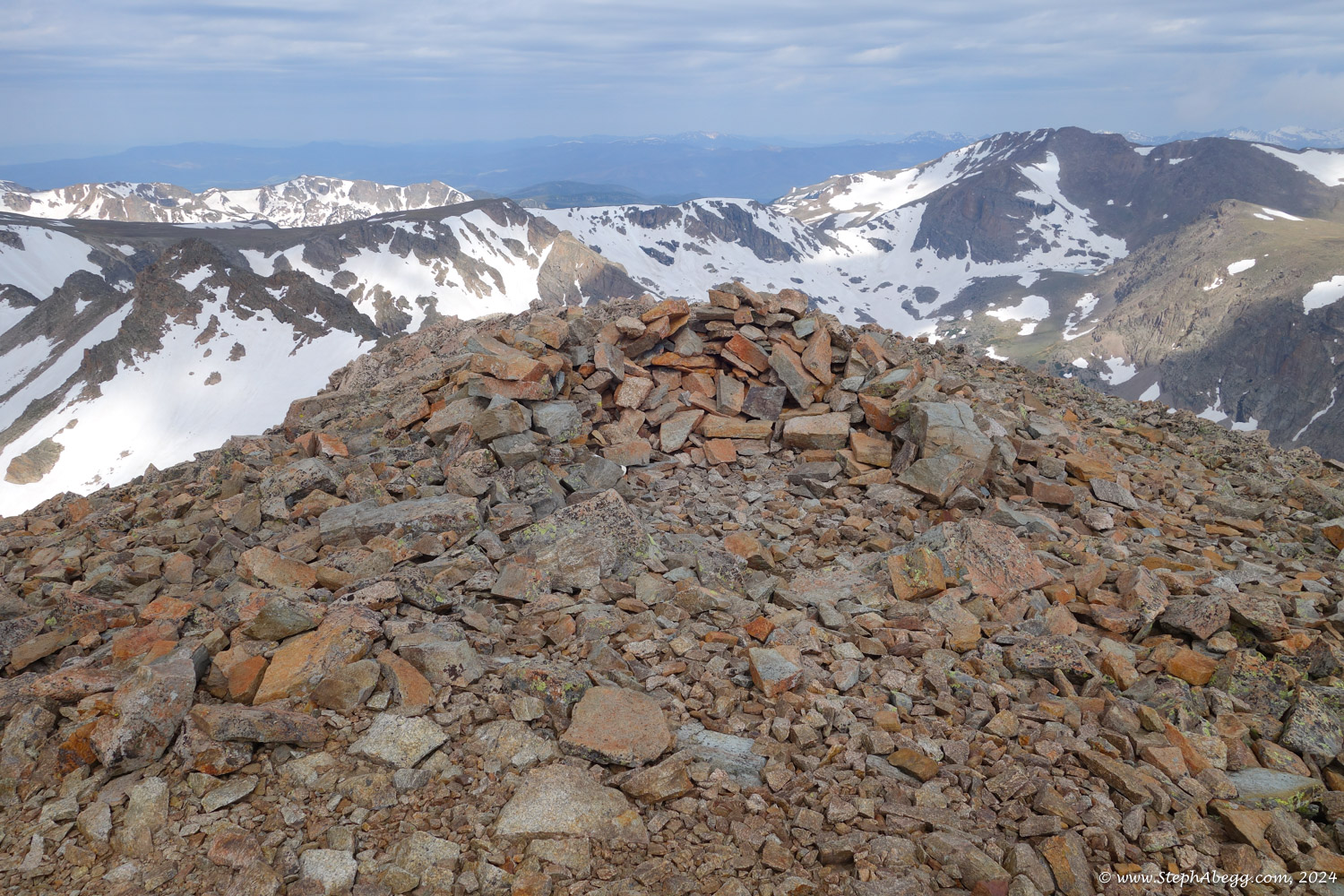
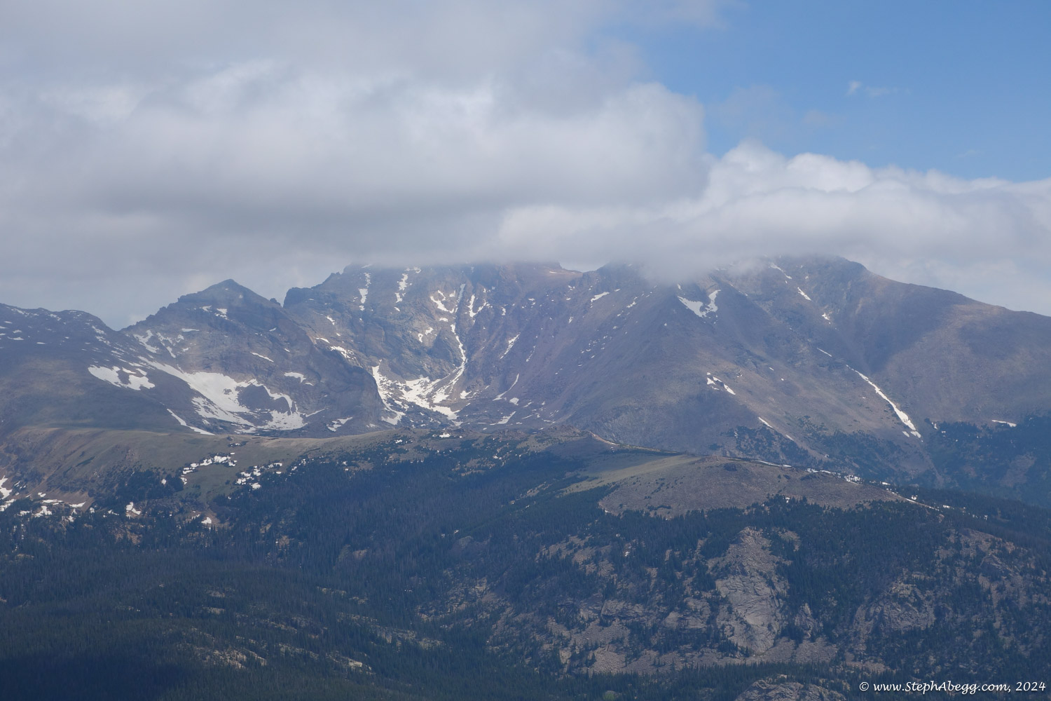
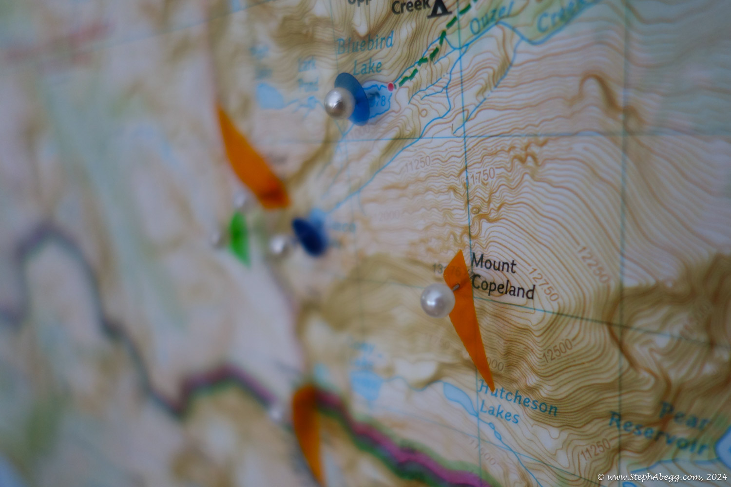
Mount Copeland is a huge, bulky mountian that dominates the heart of magnificent Wild Basin. It stands between the drainages of Cony and Ouzel Creeks and is the major peak visable when entering Wild Basin on Wild Basin Road. With a summit elevation of 13,176, Copeland is one of the higher summits in RMNP.
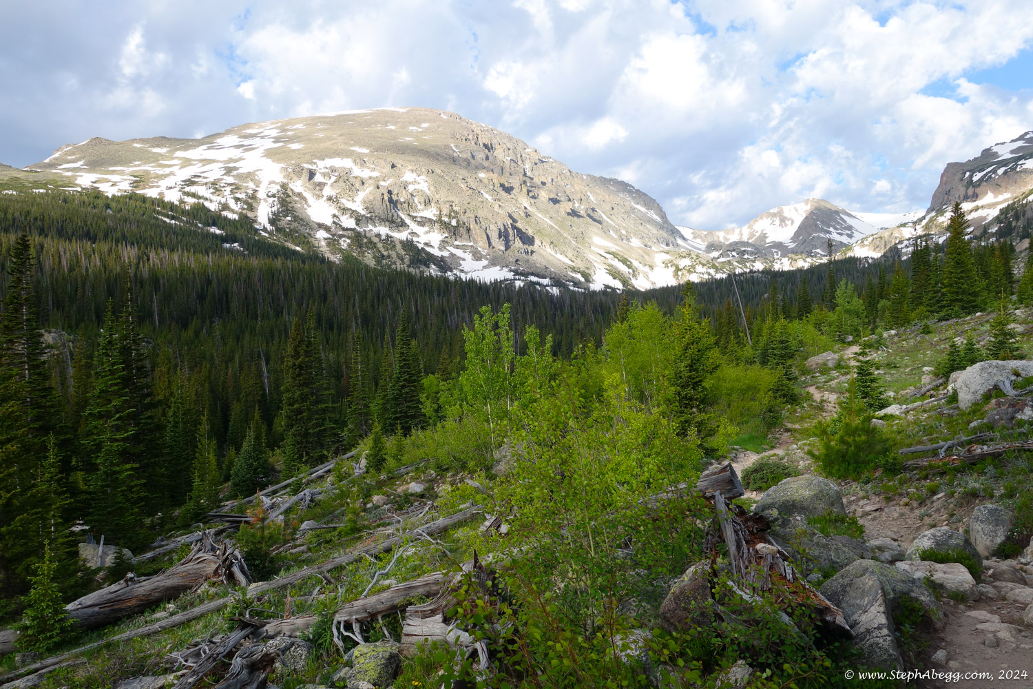
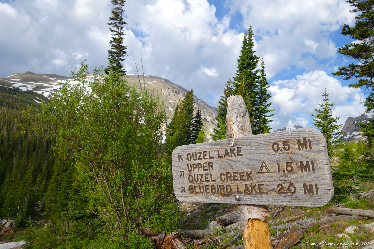
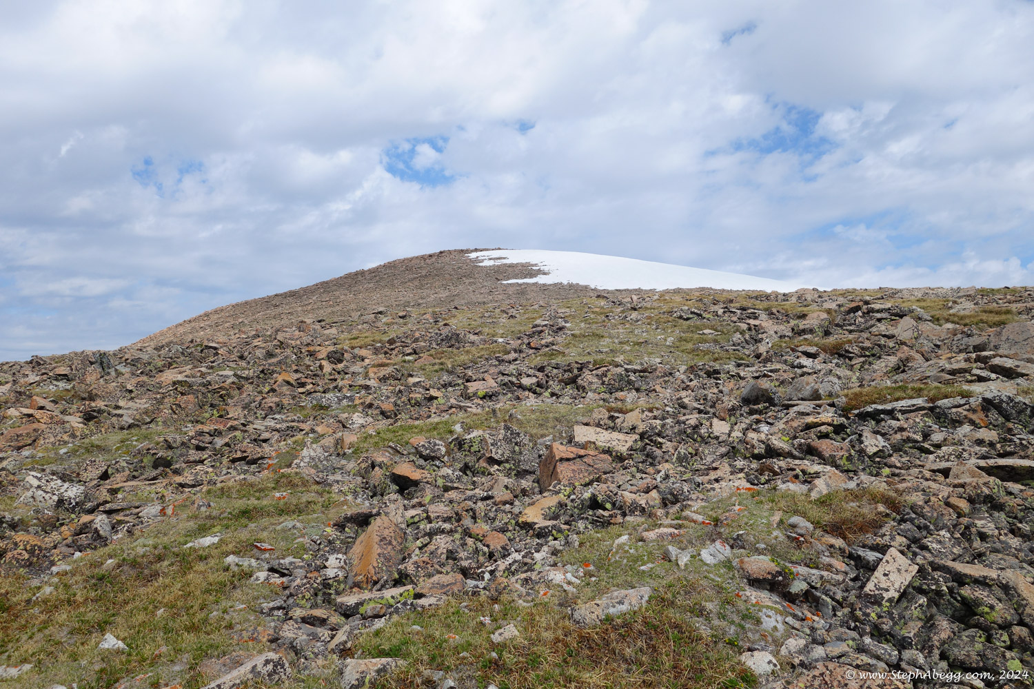
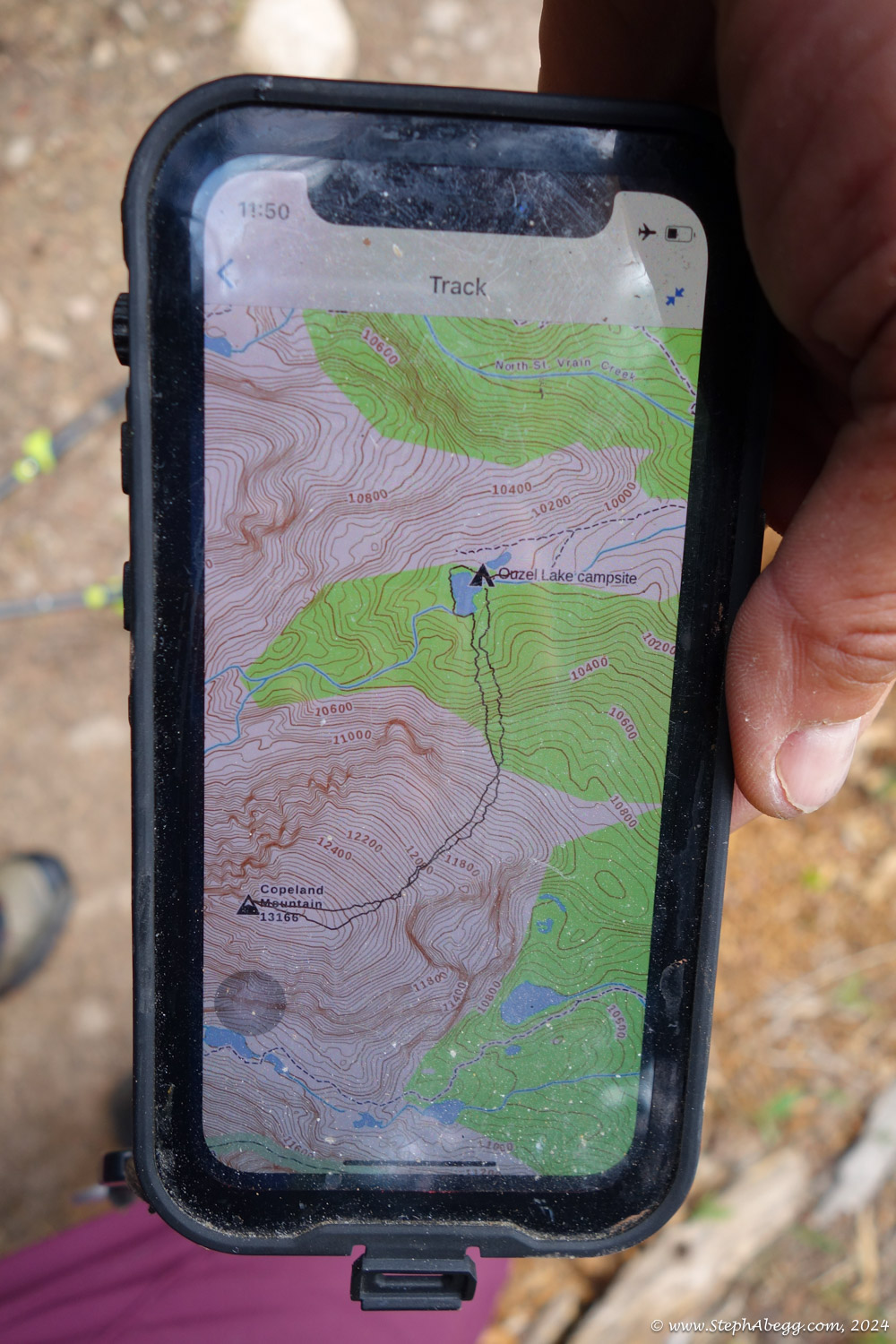
There are two main ways to get to the summit, both just 2nd class scrambles: the NE Slope from Ouzel Lake and the East Ridge from Pear Lake. These two routes merge on the upper slopes of Copeland. Via Ouzel Lake is a bit shorter, so I decided to go that way. It still makes for a pretty full day with 14 miles and nearly 5000 feet of elevation gain.
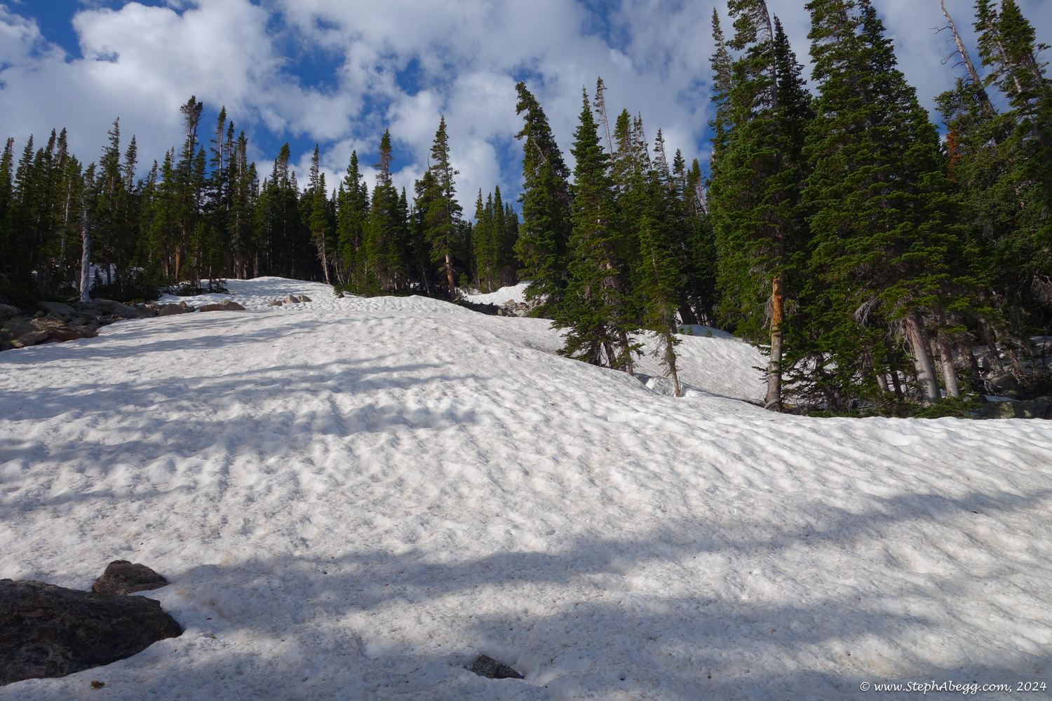
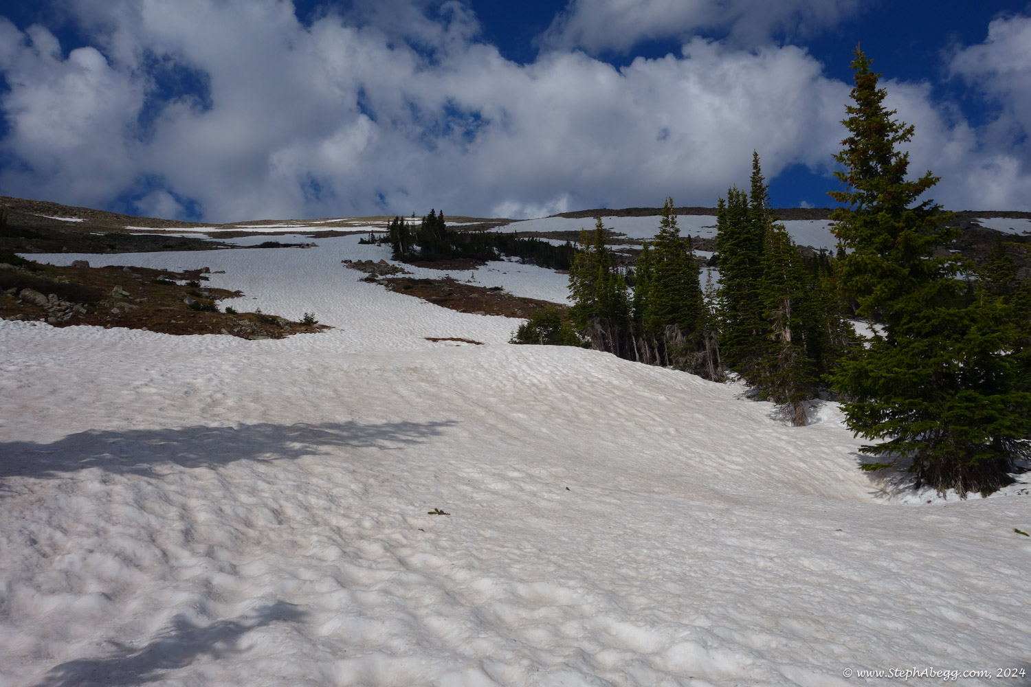
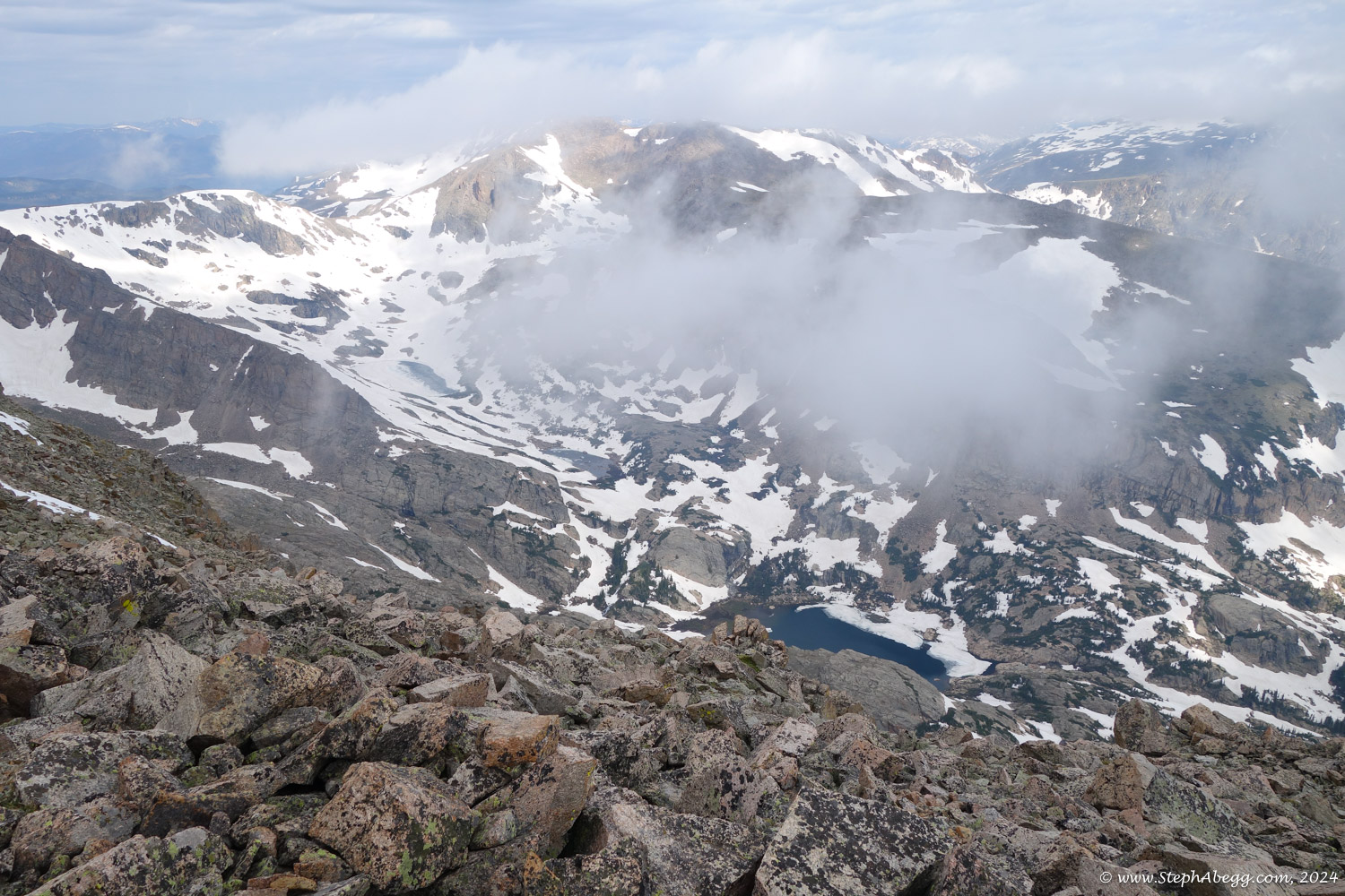
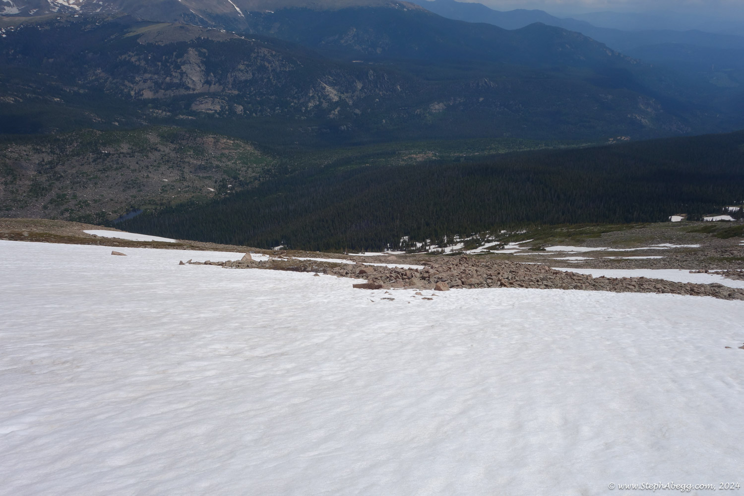
I had considered climbing Copeland all winter and then all spring, but other objectives, conditions, or weather prevented it from happening. Now it was the last day of spring, and snow had by this point melted off of most trails, but still remained on some slopes up high. I felt like a good day of exercise, so tagging the summit of Copeland seemed like a good plan for the day. I left the trailhead just after 5am, starting early because of forecasted afternoon rain and thundershowers. Even in the early morning hours, clouds were forming. My round trip time was 8 hours and 16 minutes (4 hours 20 minutes up, 3 hours 40 minutes down, 16 minute break on the summit). The rain started a bit after I got home.
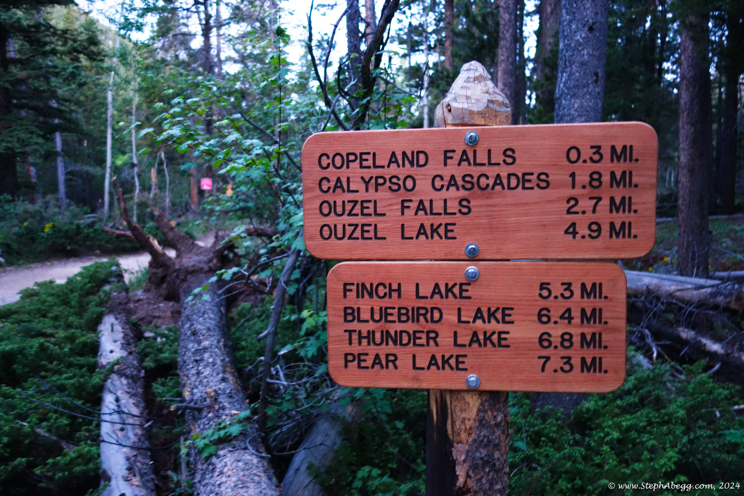
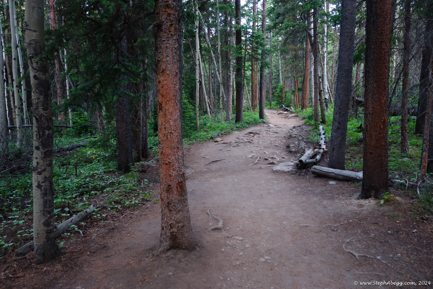
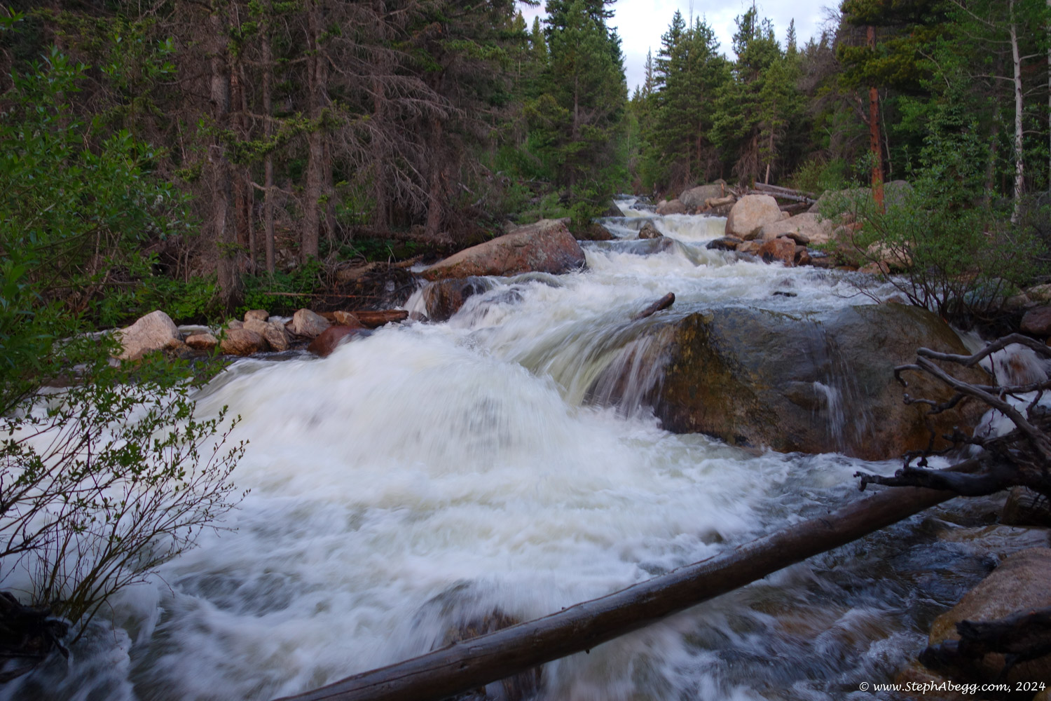
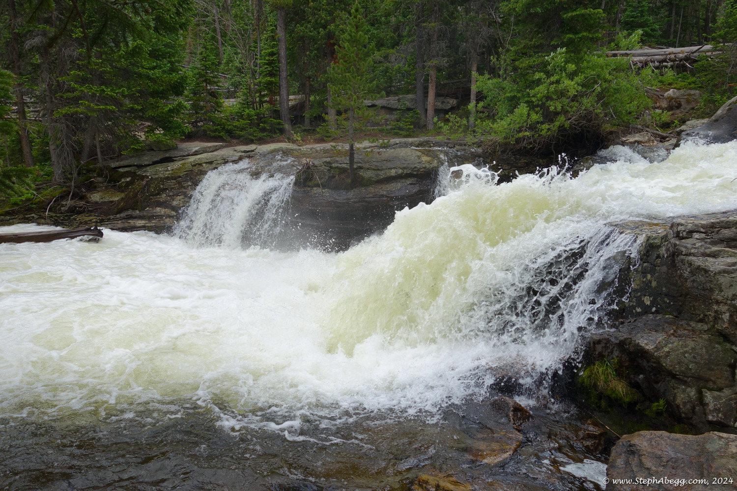
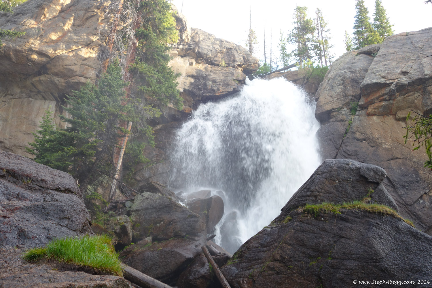
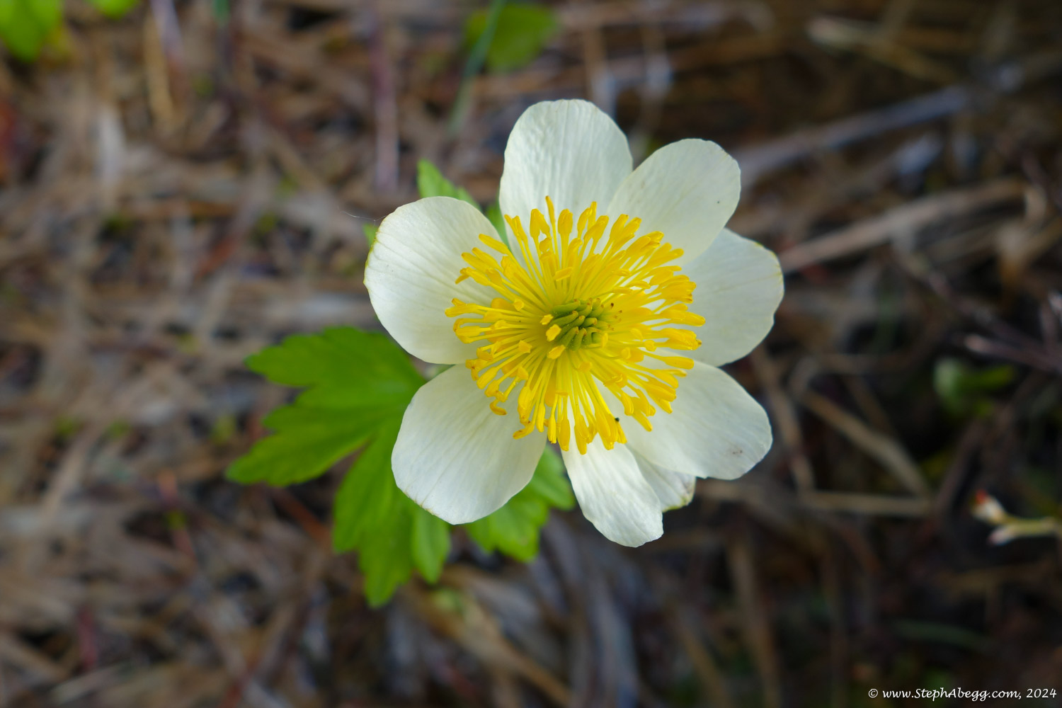
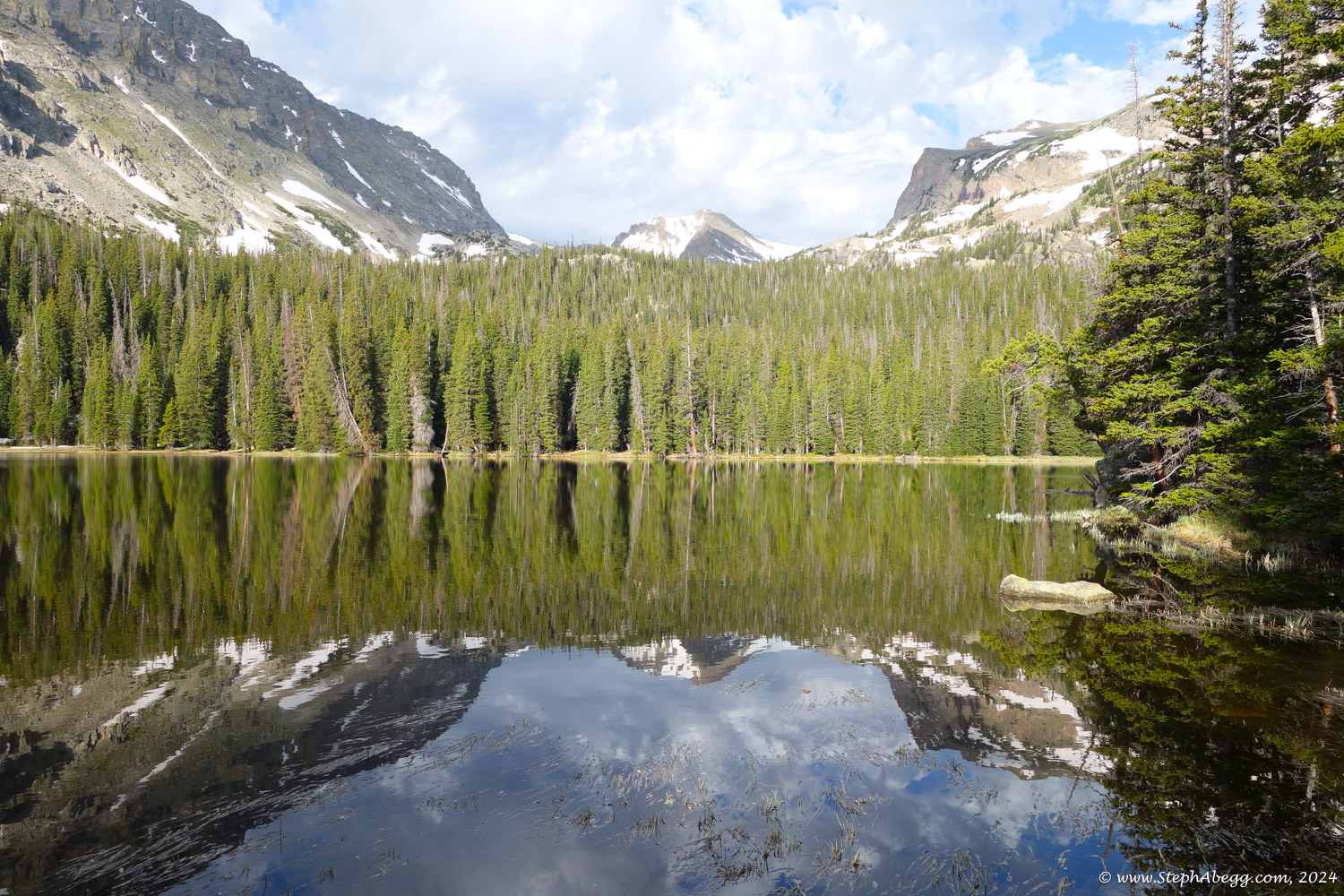
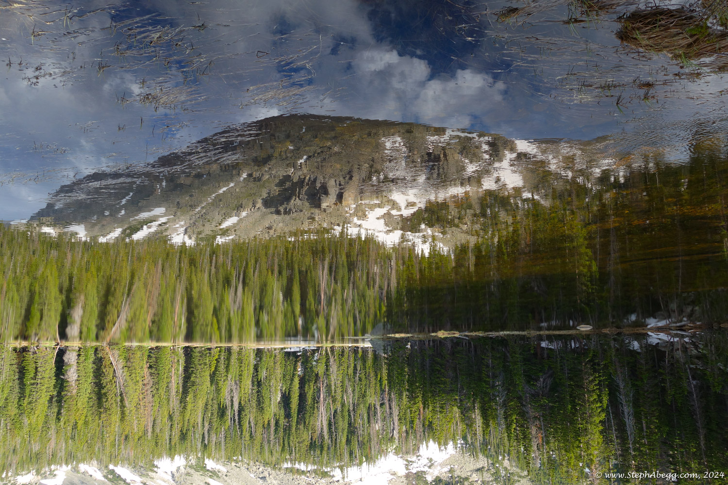
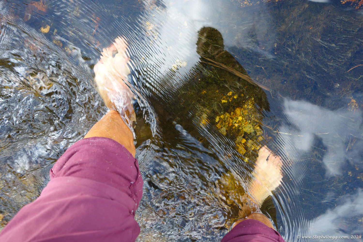
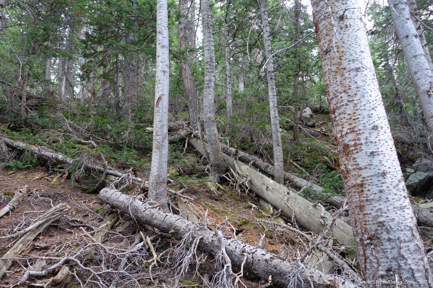
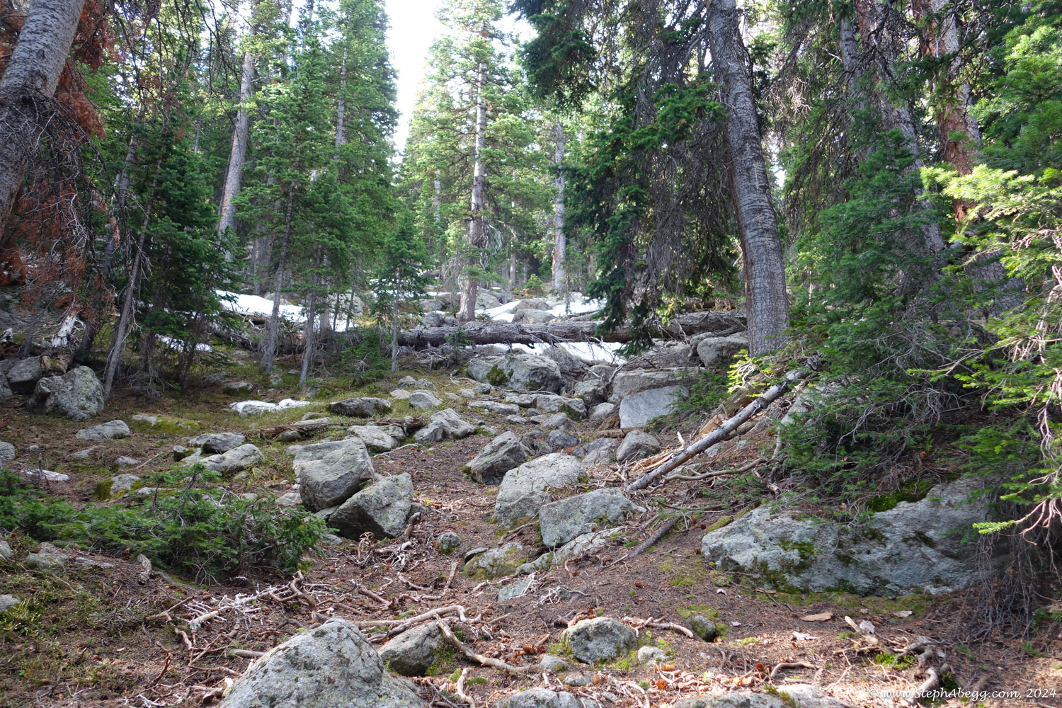
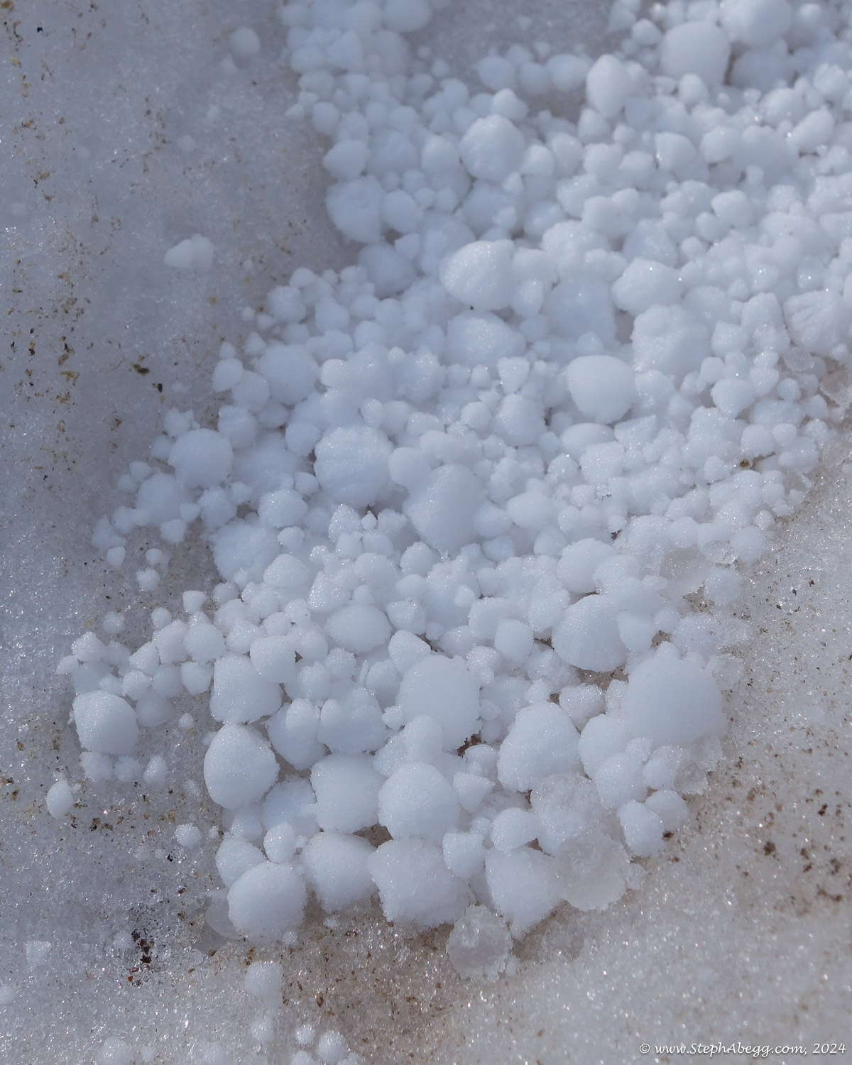
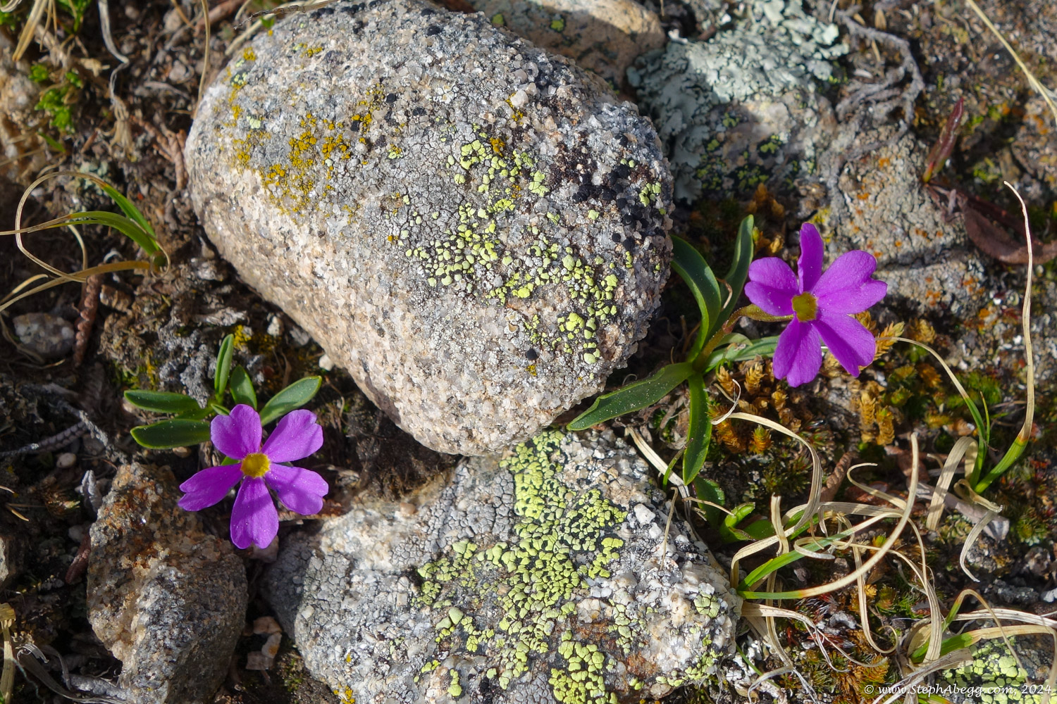
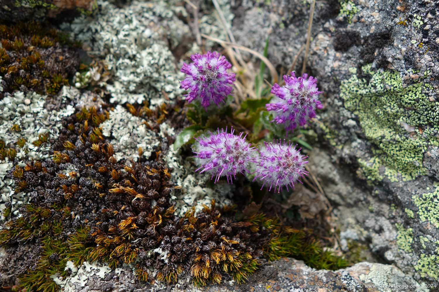
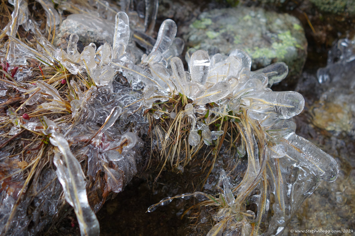
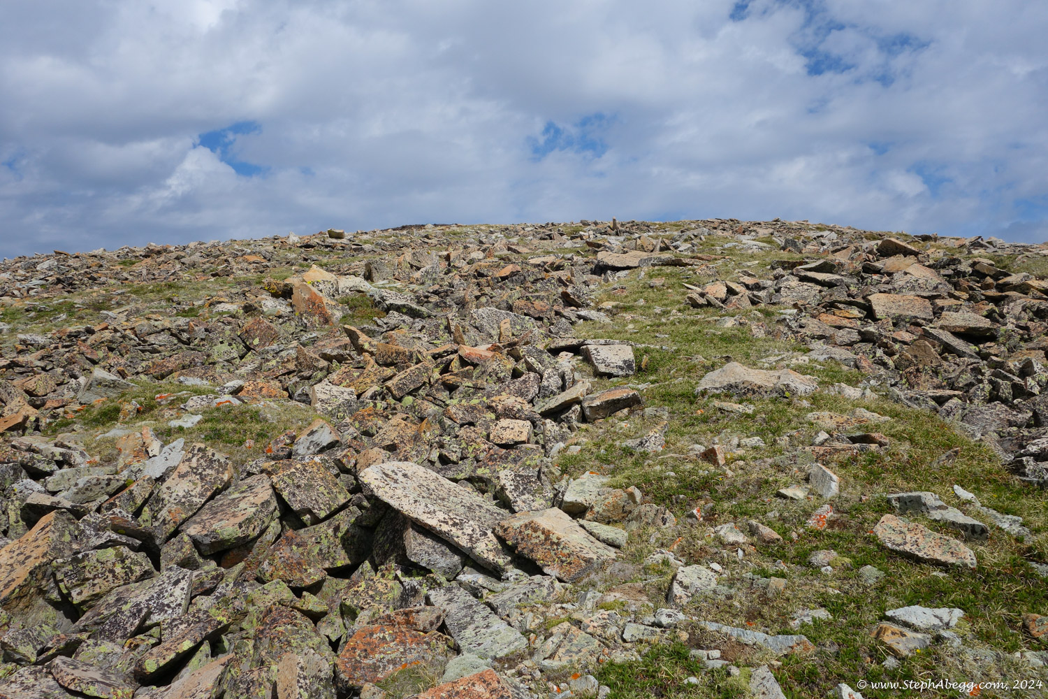
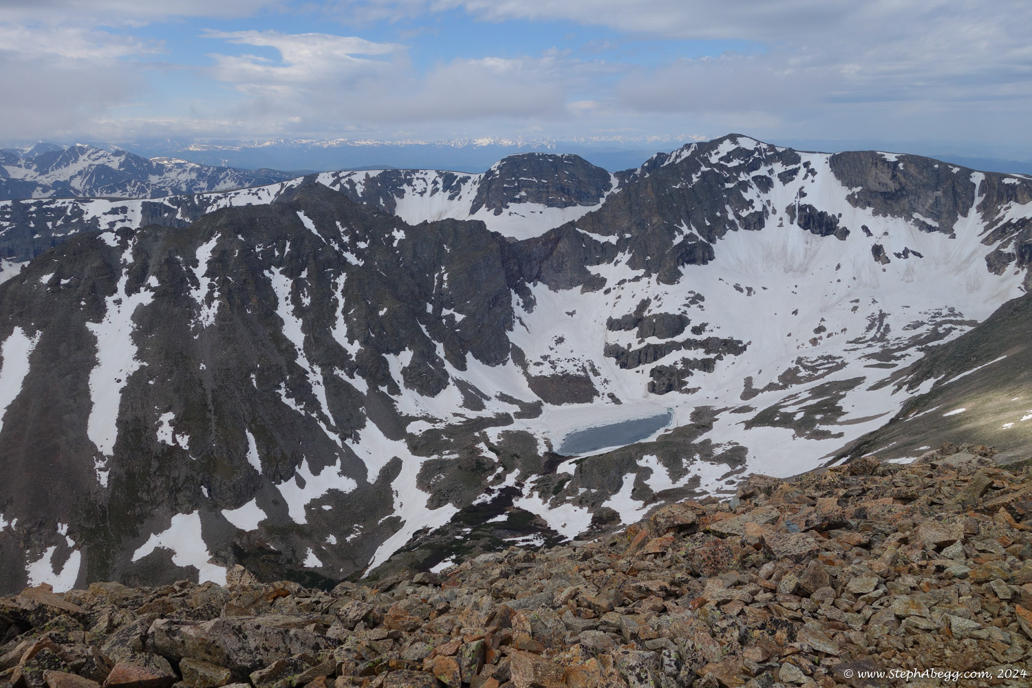
Below are some photos of my last-day-of-spring climb of Mt. Copeland.