I have my sights set on the "
LA Freeway", a 38(or so)-mile ridgeline traverse from Longs Peak to Arapaho Peaks. I've been scoping out various "crux" sections. At the time of this trip report, I had scoped out all of the 4th and 5th class sections on the traverse except the
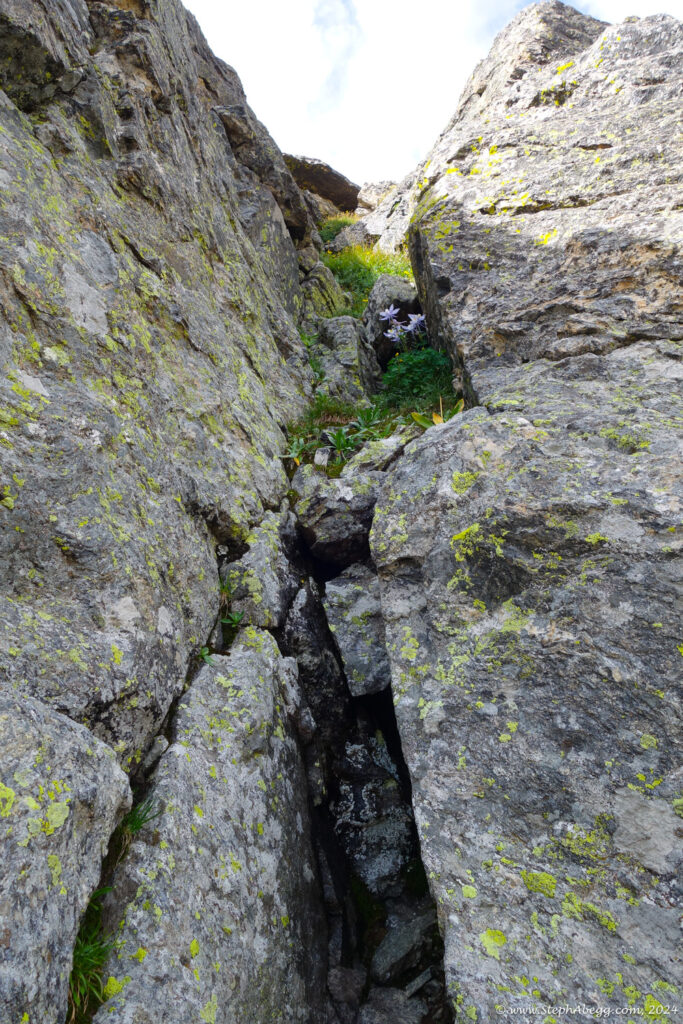
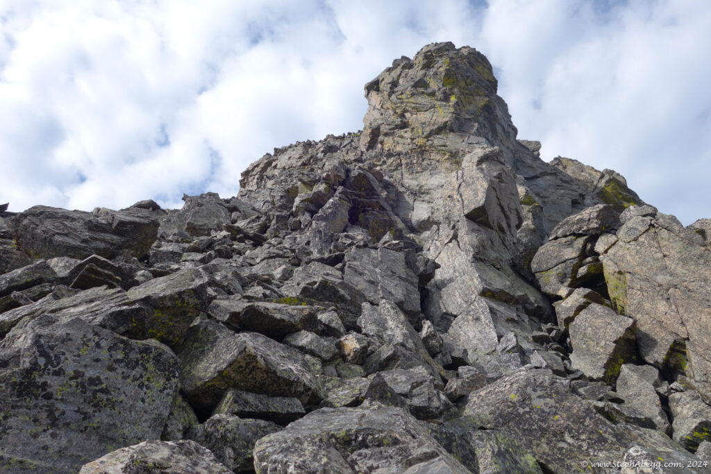
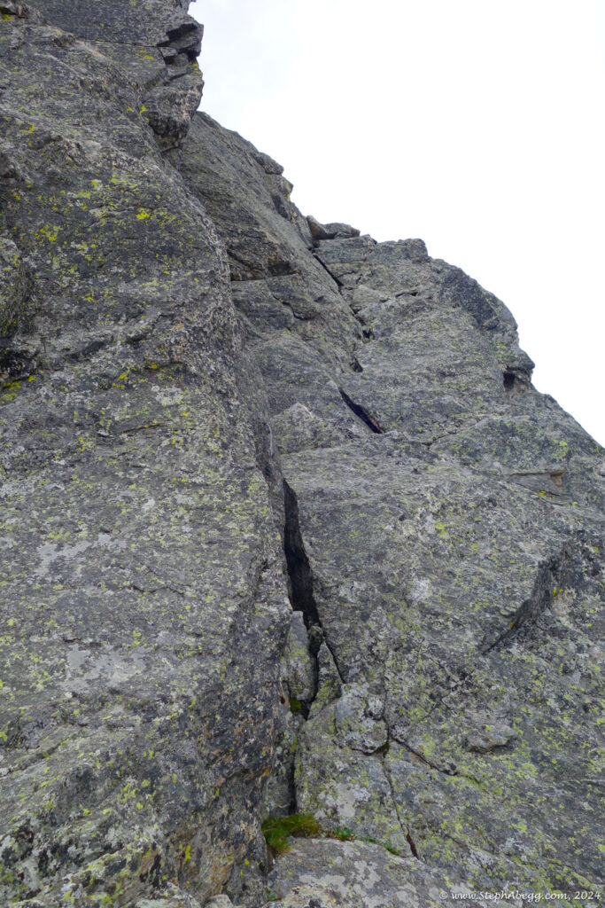
North Buttress (5.0) of Deshawa and the
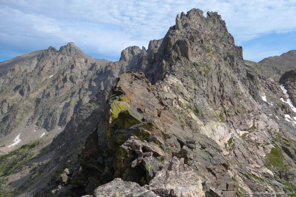
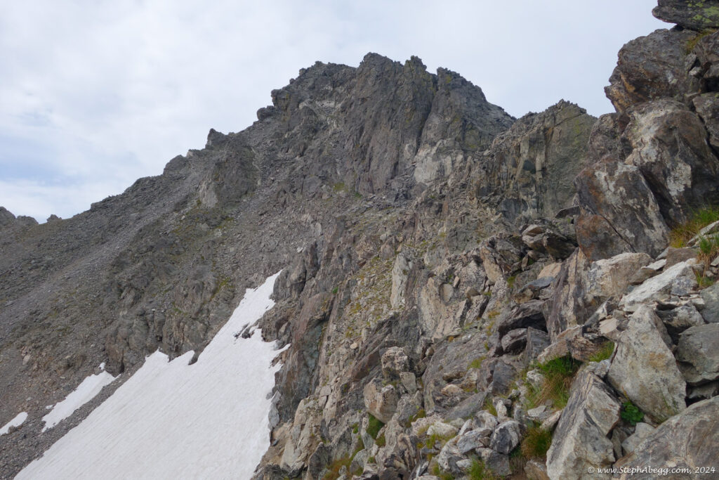
Northeast Ridge (4th) or North Arapaho Peak. Since Deshawa and North Arapaho are adjacent peaks, it would be possible to scope out both in one day.
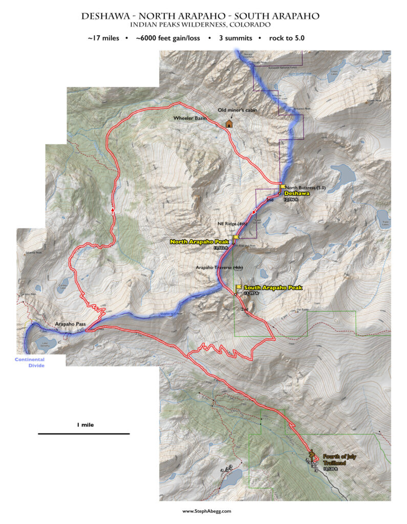
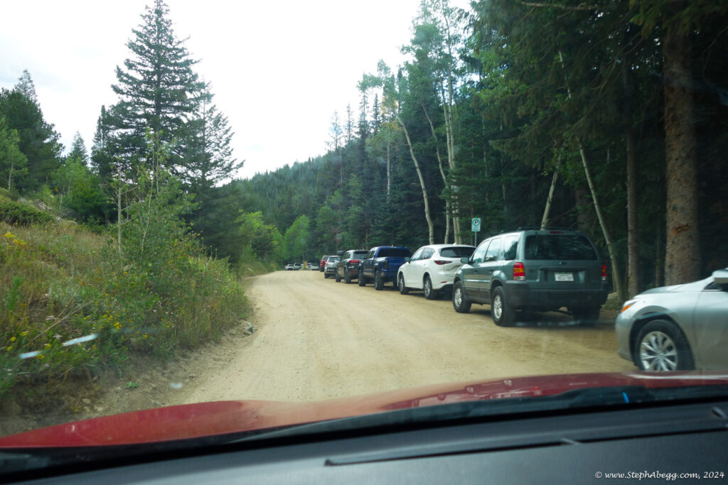
The Arapaho Peaks are easily accessed from the Fourth of July Trailhead. My initial plan had been to traverse over the Arapaho Peaks and continue north to Deshawa, descending Deshawa's north side as a means to find the 5.0 route. Then I would reverse the traverse. But then I landed on an
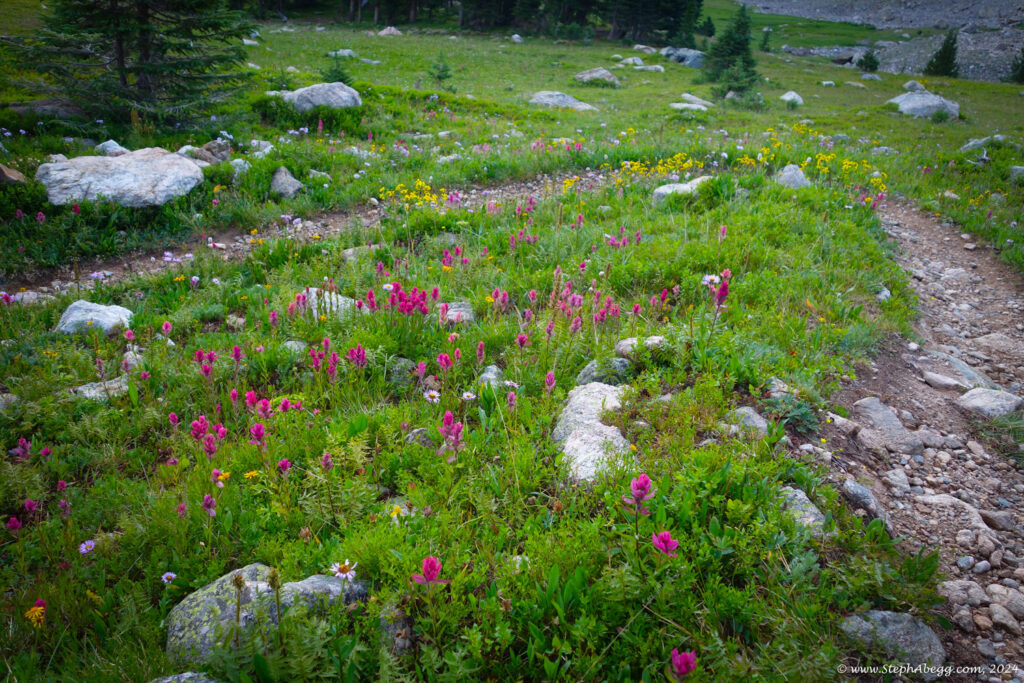
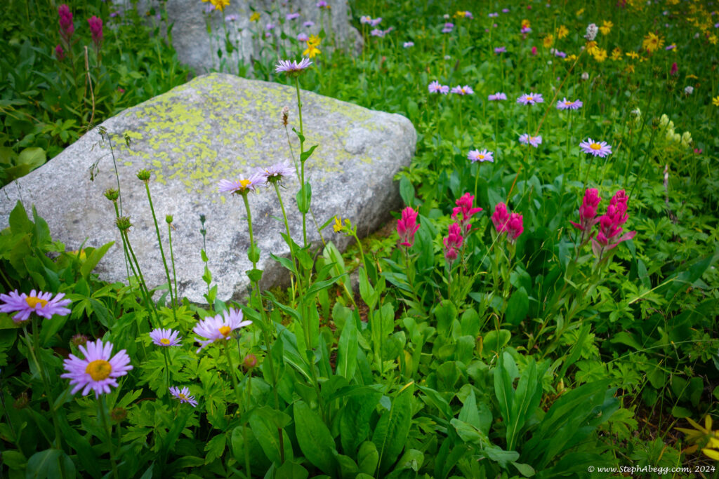
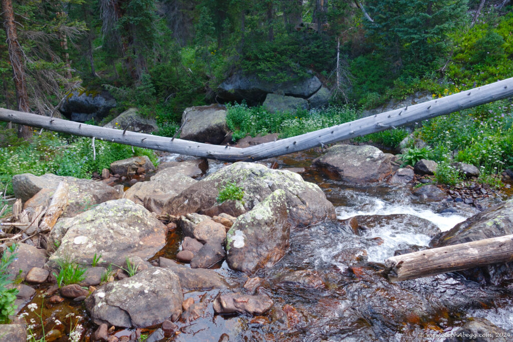
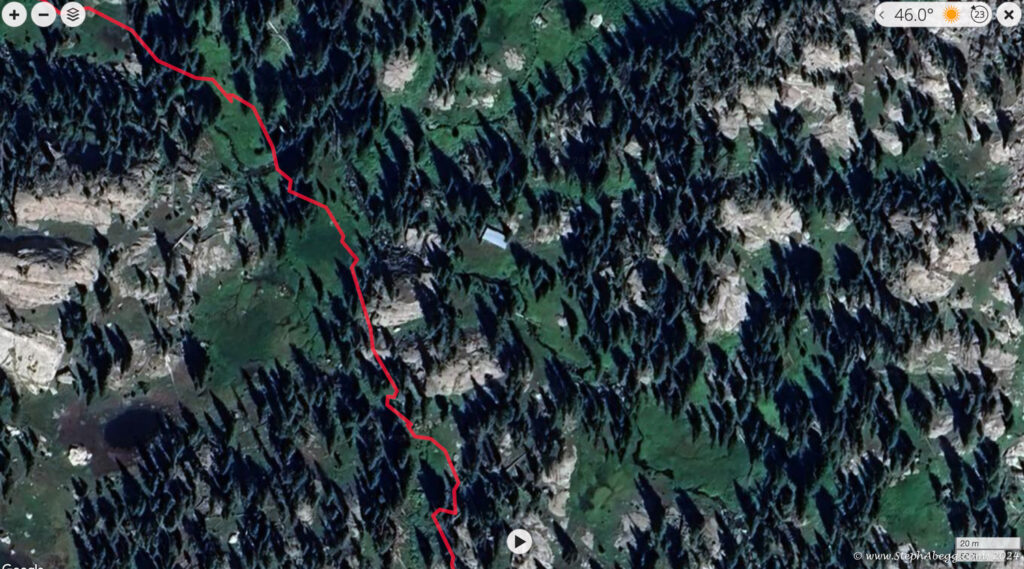
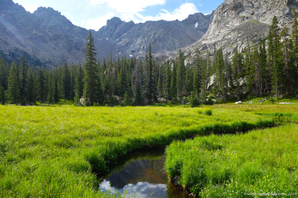
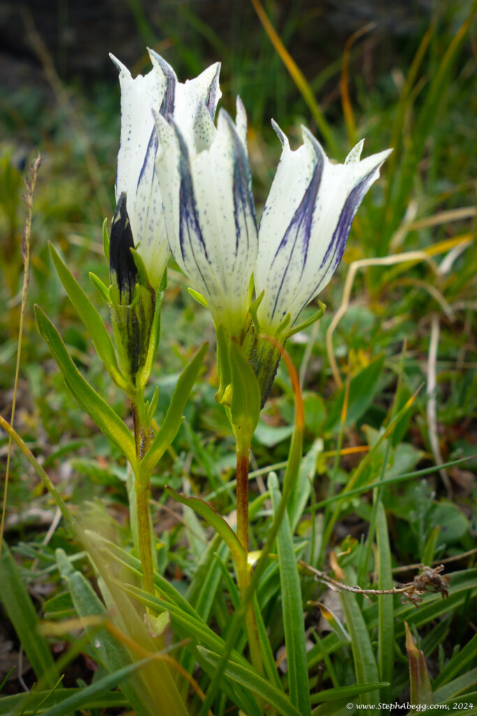
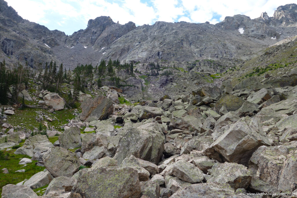
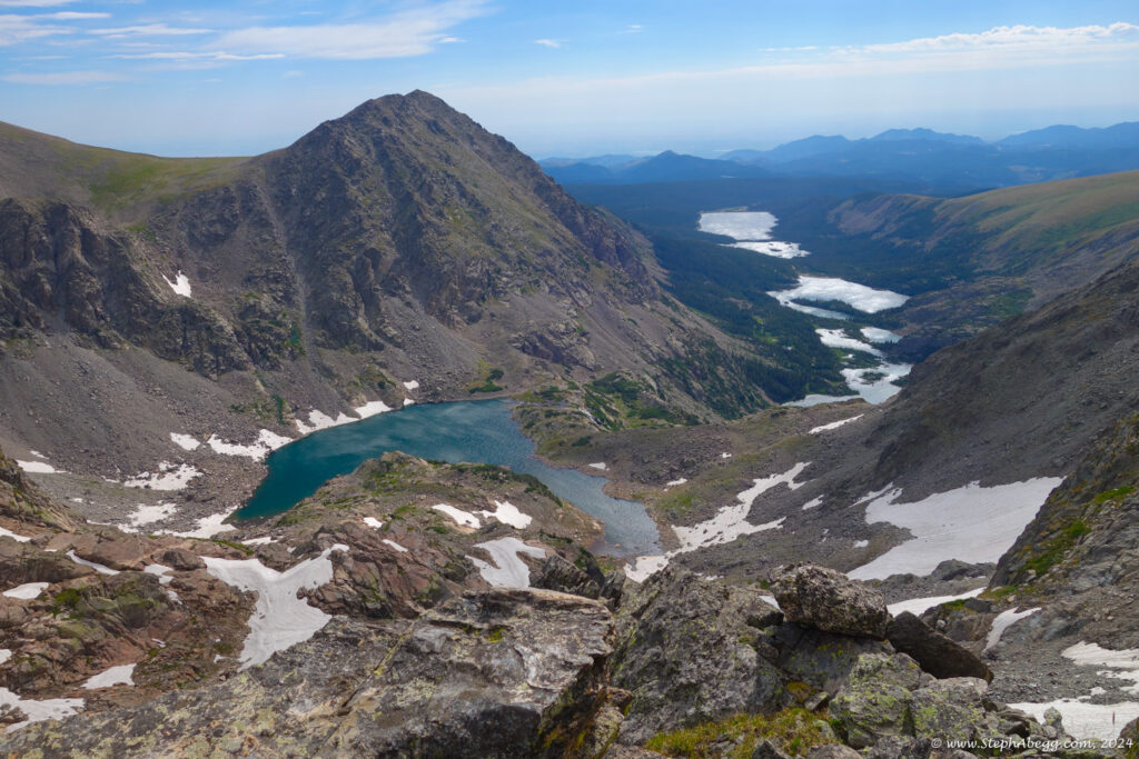
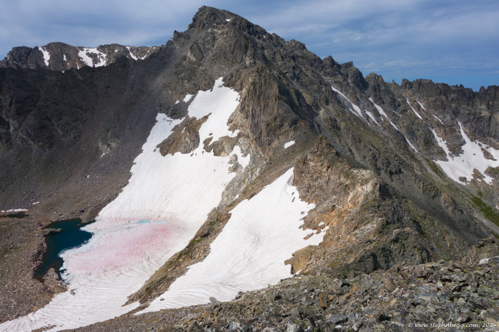
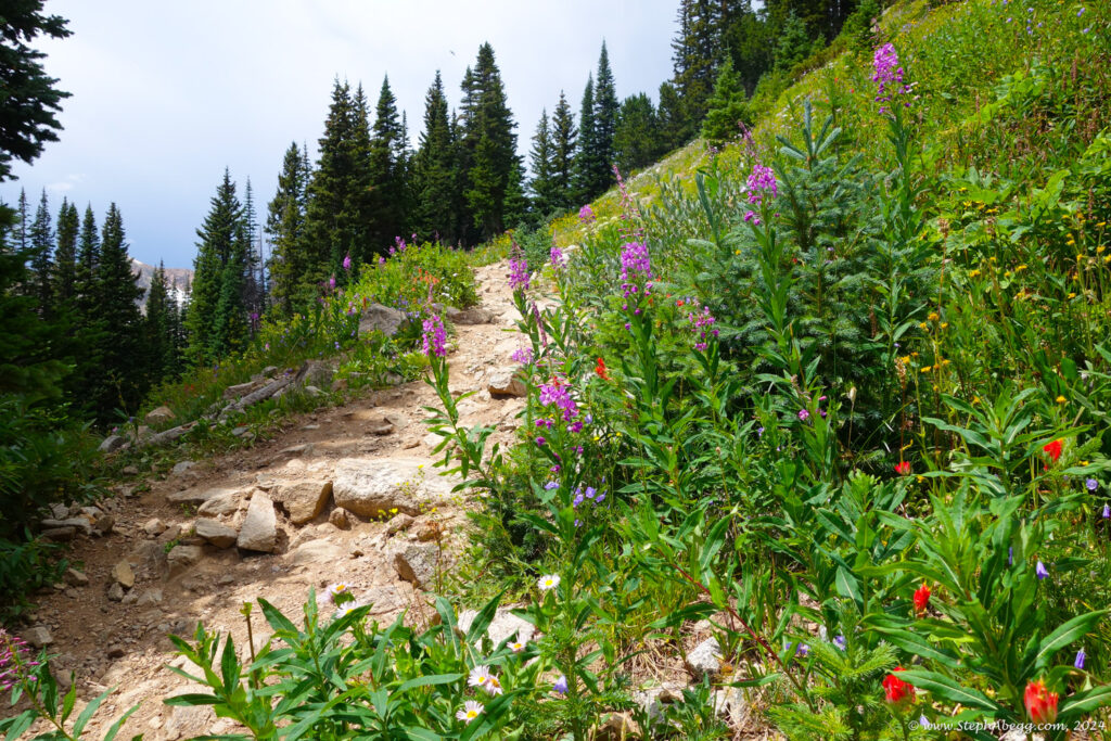
excellent trip report describing a loop hike that accessed the north side of North Arapaho from Wheeler Basin. There is no trail into the basin, but after a bit of initial bushwhacking the travel is relatively pleasant through meadows and forests with minimal undergrowth. In his Indian Peaks guidebook, Gerry Roach describes Wheeler Basin as a fairyland. With the bubbling brooks, flowery meadows, and cirque of mountains above, I can see why he would say this. I (correctly) figured this approach could also access the north side of Deshawa, and from there I could traverse south towards the Arapaho Peaks, and eventually land back on the trail, making a nice loop trip.
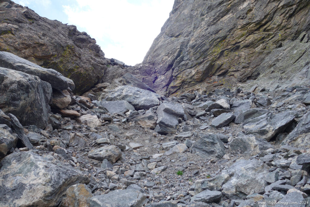
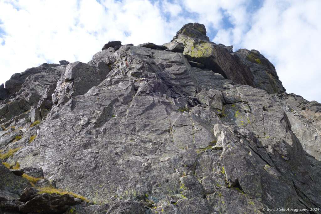
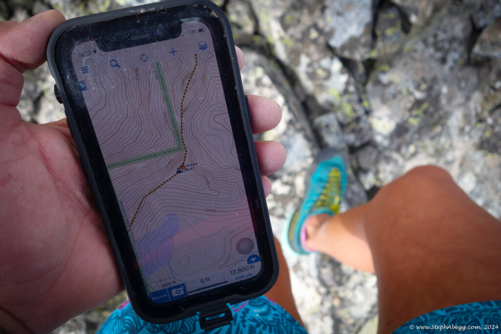
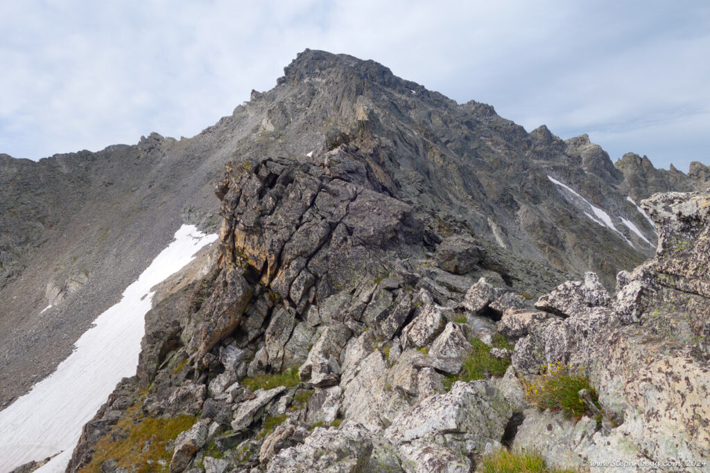
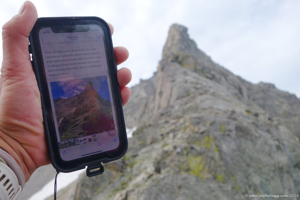
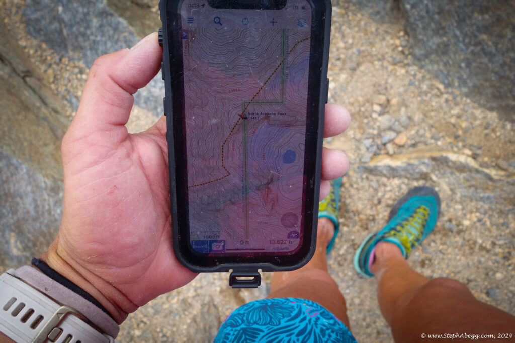
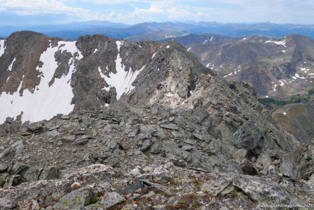
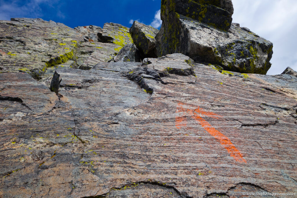
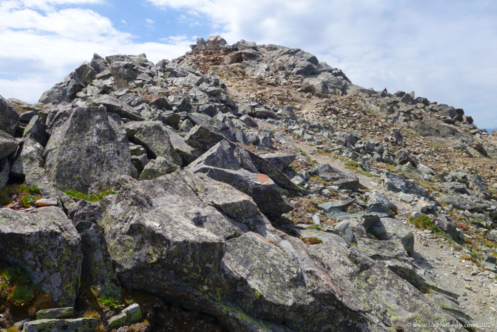
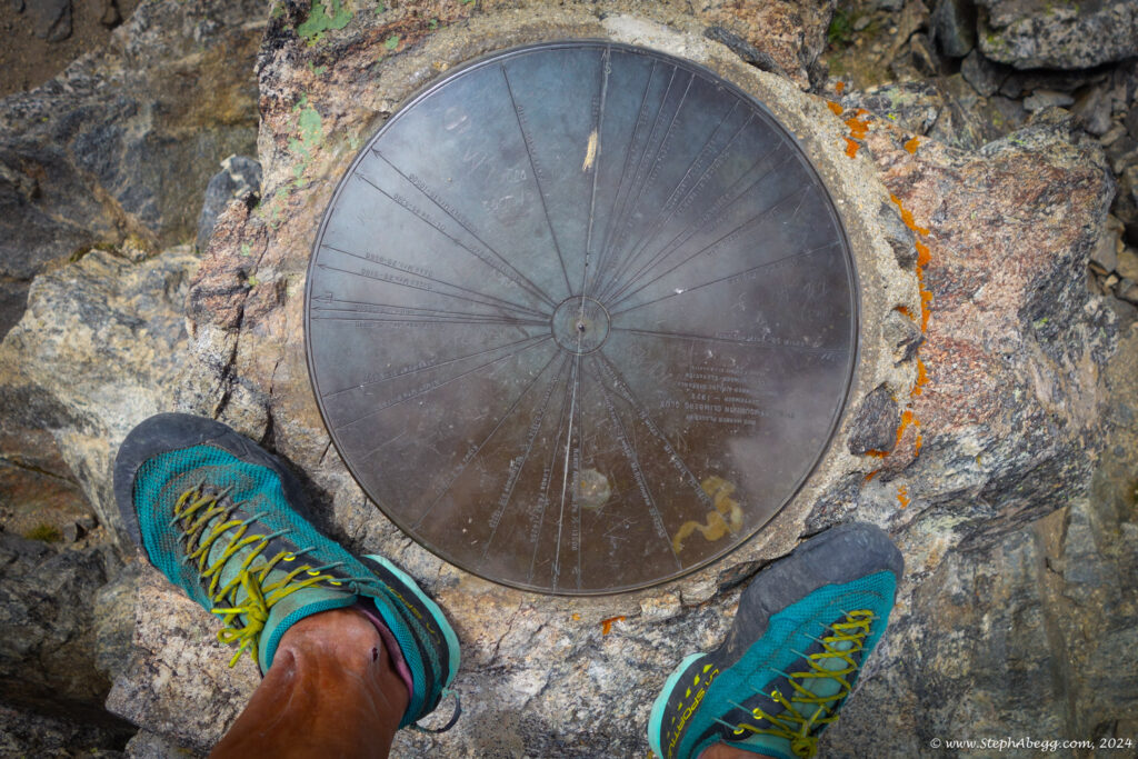
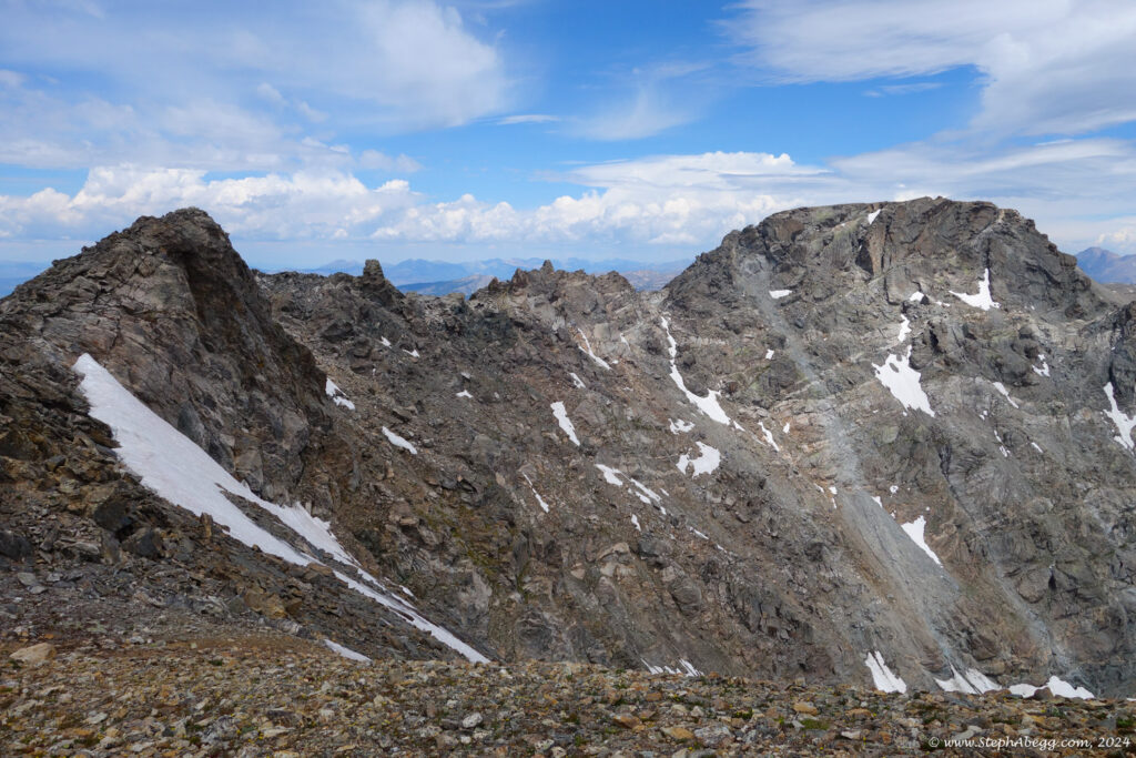
The ridge traverse from Deshawa to South Arapaho was quite enjoyable. Thanks to overlays on mountainpainproject and the aforementioned trip report, I had no difficulties identifying the correct routes through the 5.0 and 4th class cruxes.
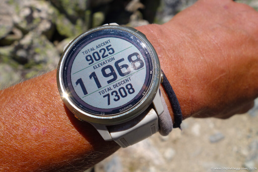
The entire adventure took me 8 hours and 42 minutes. I didn't see a single other person until I was hiking the Arapaho Pass trail back to Fourth of July Trailhead.
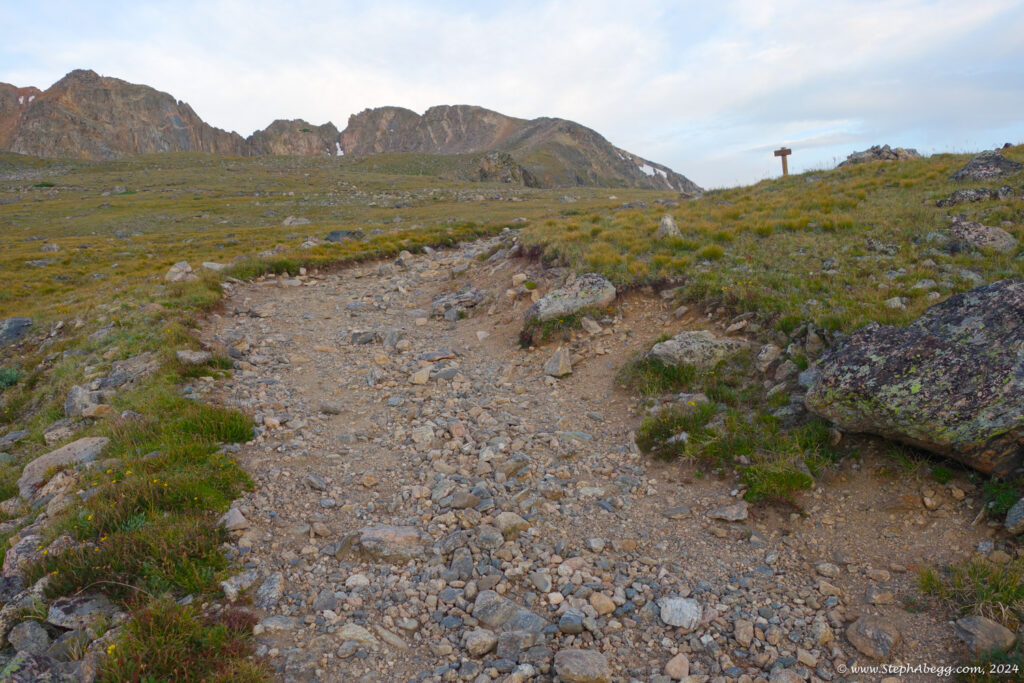
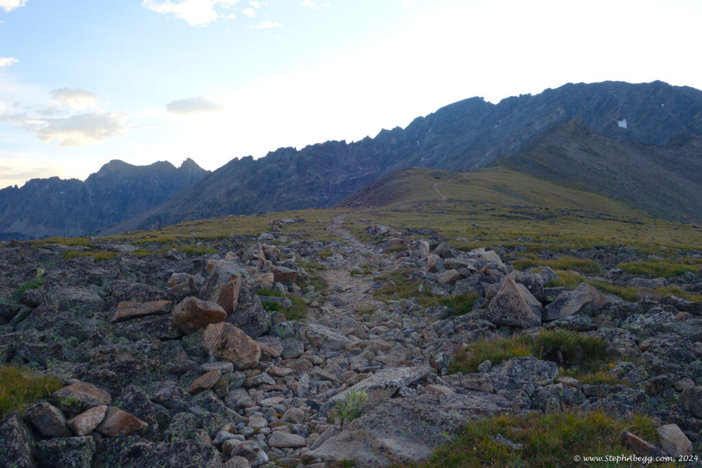
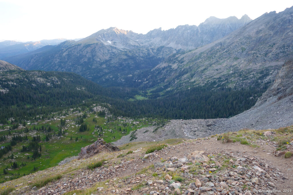
The following page contains a map and photos from my traverse.

