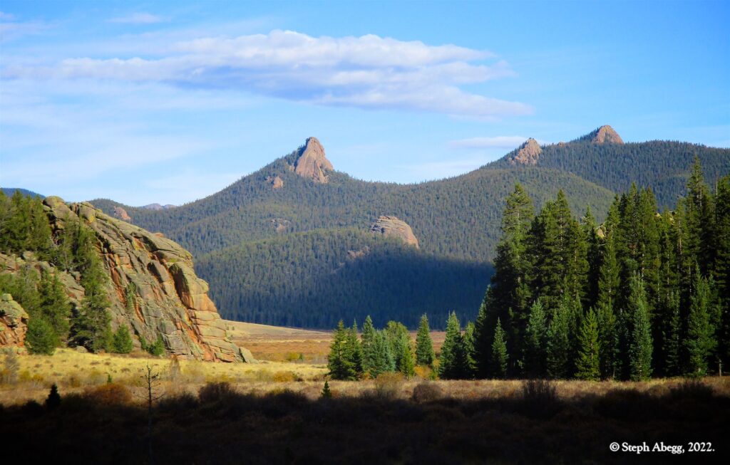
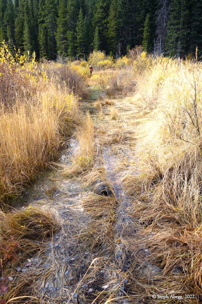
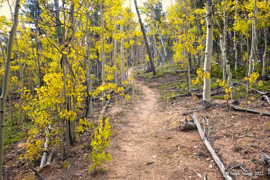
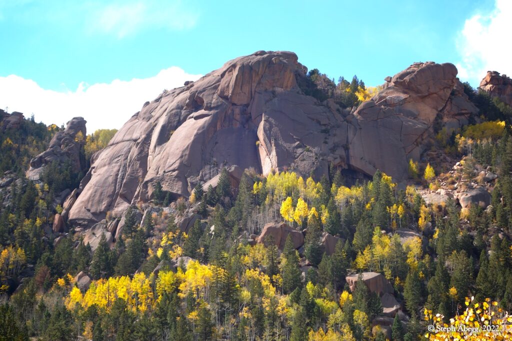
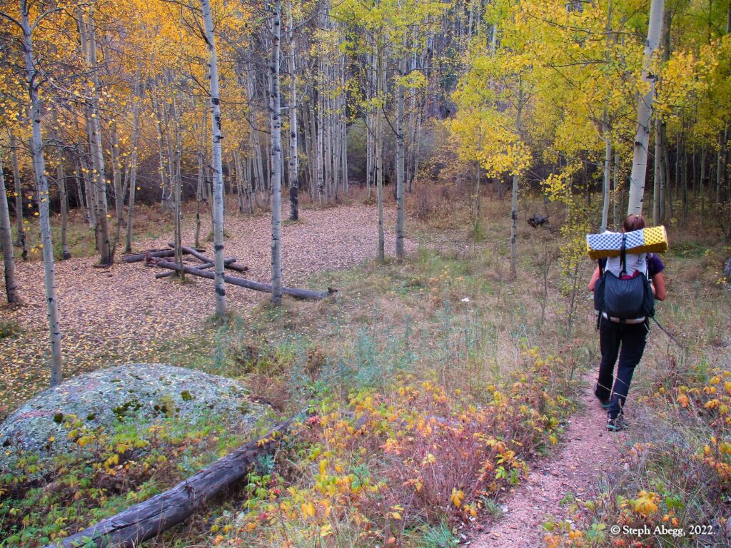
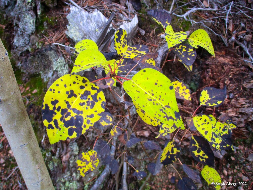
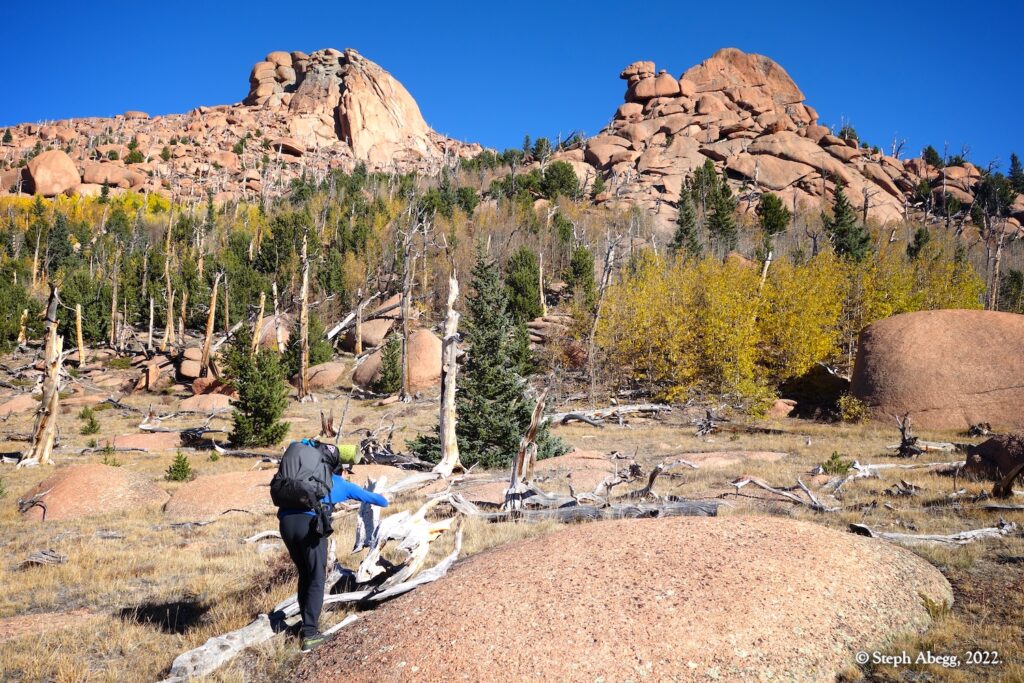
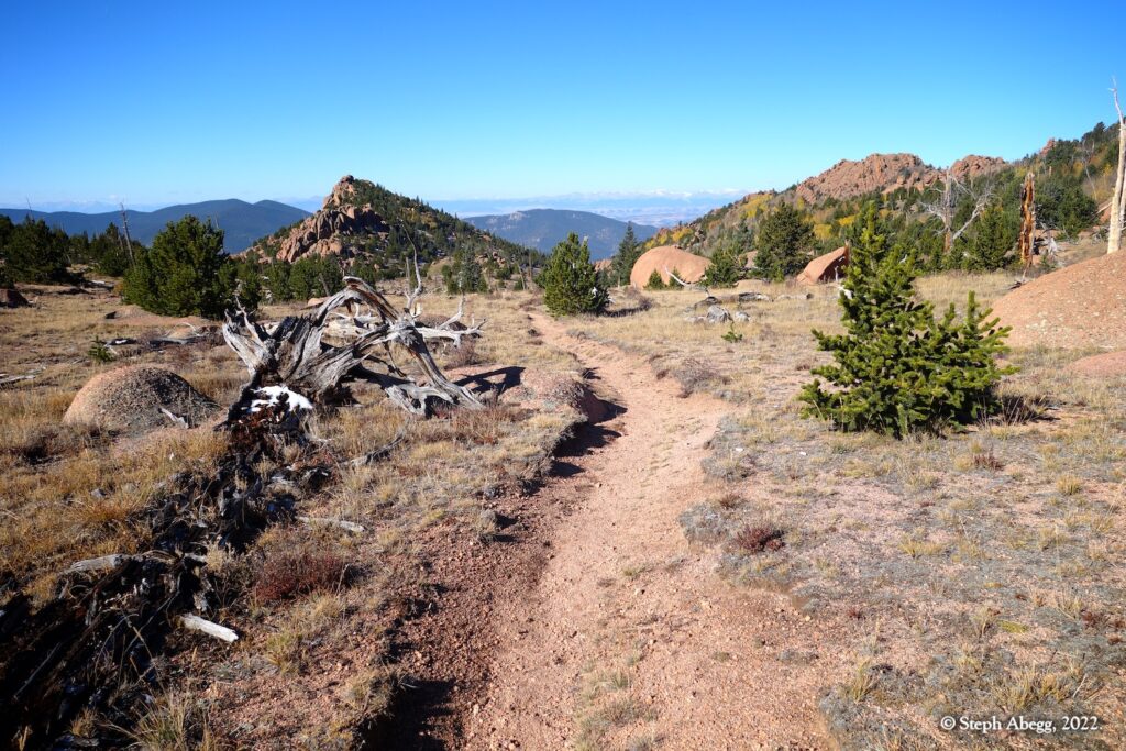
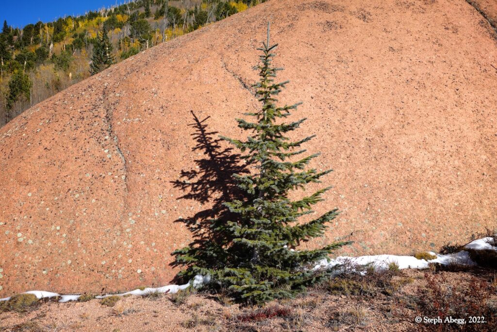
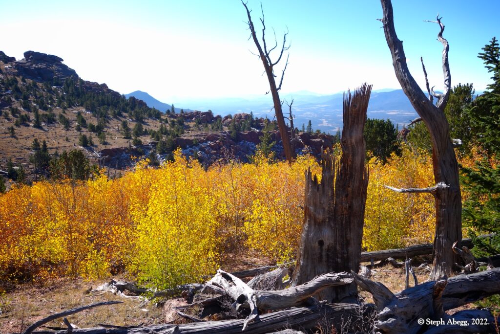
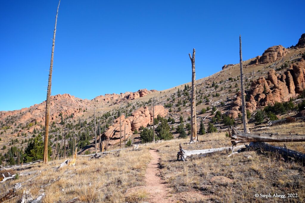
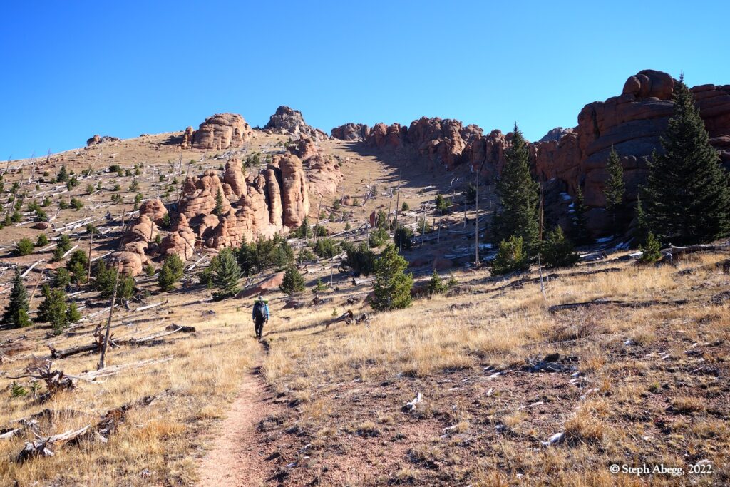
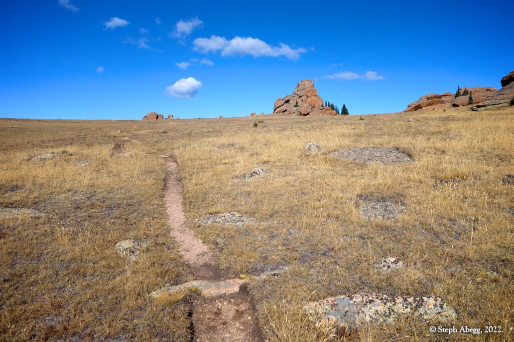
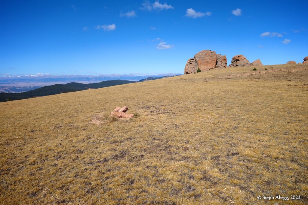
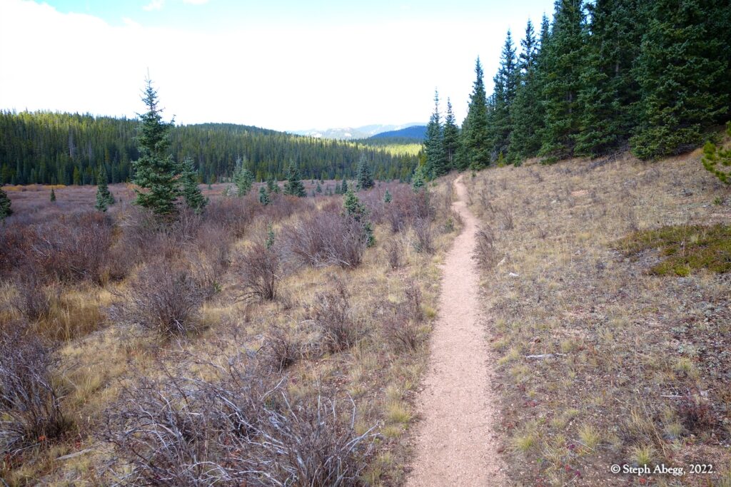
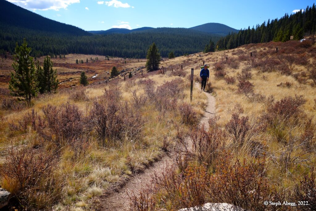
The Lost Creek Wilderness is a 119,790-acre wilderness area located in central Colorado in Jefferson and Park counties south of the town of Bailey. The area is situated entirely within the boundaries of the Pike National Forest. Elevations range from 8,000 to 12,400 feet. Lost Creek was named after a creek of the same name that repeatedly disappears underground only to reappear again further downstream where it ultimately becomes Goose Creek. The Lost Creek Wilderness is accessed by a 136 mile trail network, 105 miles of which are within the Wilderness boundary. The trail system runs through park-like forests, aspen groves, grassy meadows, fascinating rounded granite domes, and rocky mountains. Black bears, bighorn sheep, deer, elk, and bobcats share the region. Vegetation includes ponderosa, bristlecone, and lodgepole pine, aspen, spruce, fir, and alpine tundra. Despite the relative proximity to the Boulder and Denver area (1-2 hour drive to the trailheads), the area maintains a wild and remote feel.
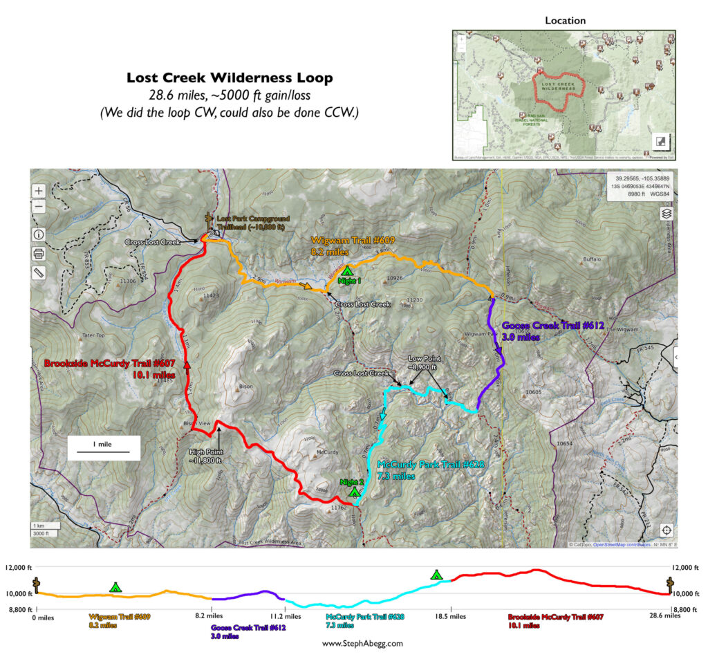
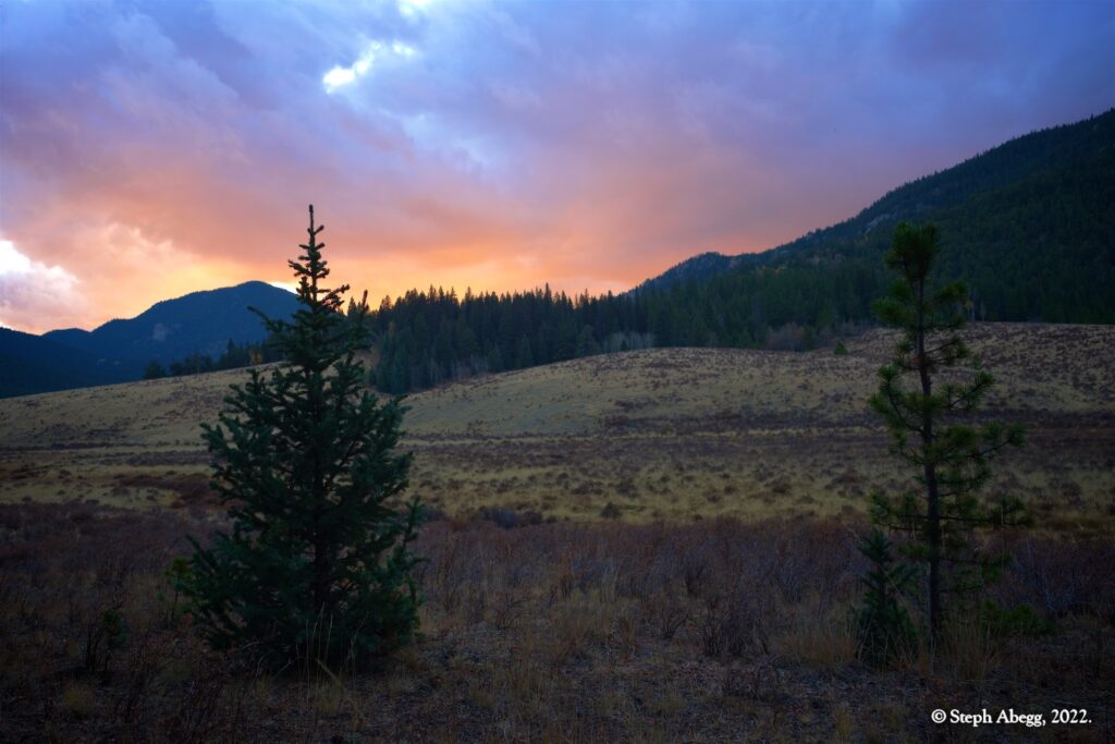
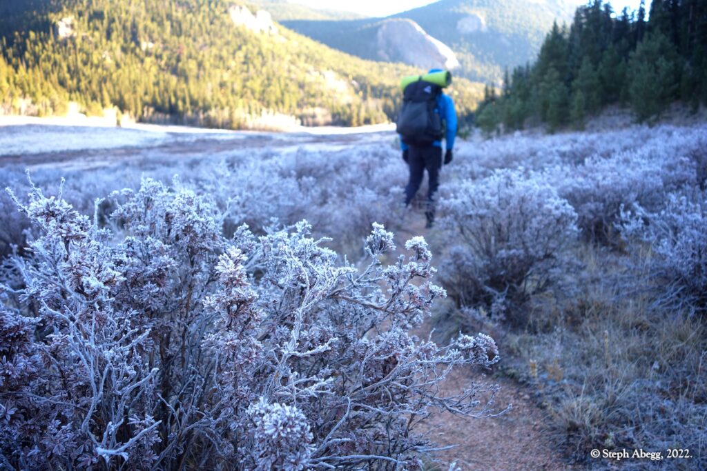
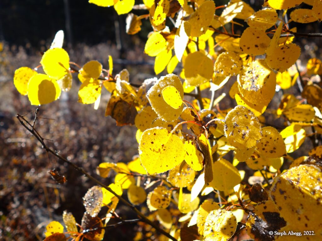
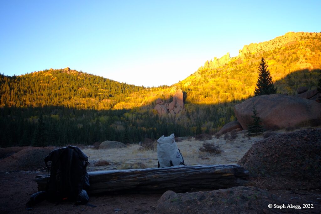
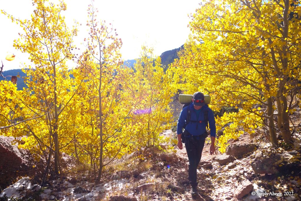
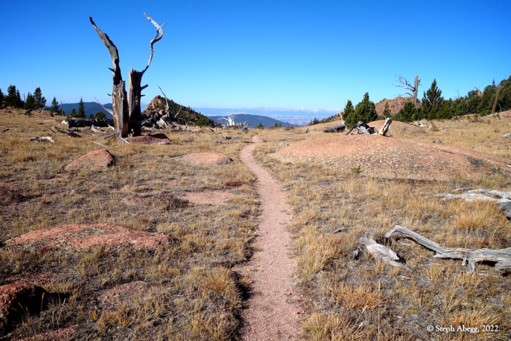
In October 2022, when Nate and I felt compelled to embark on a weekend overnight to hike amongst the beautiful fall colors in the crisp fall air, the Lost Creek Wilderness seemed like a great place to check out (neither of us had been there). After some research on the backpacking options in the area, we decided on the "Lost Creek Wilderness Loop", a 30-mile loop through the heart of the Lost Creek Wilderness. This loop conveniently starts at the Lost Park Campground (10,000 feet), about 19 miles off Highway 285 on a 2WD dirt road. The loop links four trails and crosses Lost Creek four times. The scenery varies from wide open valleys, rocky canyons, aspen groves, scenic subalpine forests, and open tundra speckled with granite rock formations. Campsites and water abound. The area feels vast and remote considering it is just a couple hours from the front range.
The loop can be hiked in either direction. It seems that most people hike the loop counterclockwise to break up the big climbs of the hike, but Nate and I decided that the more important criteria was where we wanted to camp: we identified the open and scenic area near the junction of the McCurdy Park Trail and the Brookside McCurdy Trail as where we wished to camp on Saturday night, which made us to decide to hike the loop clockwise. Done clockwise, the loop links the following four different trails (taking a right at each trail junction):
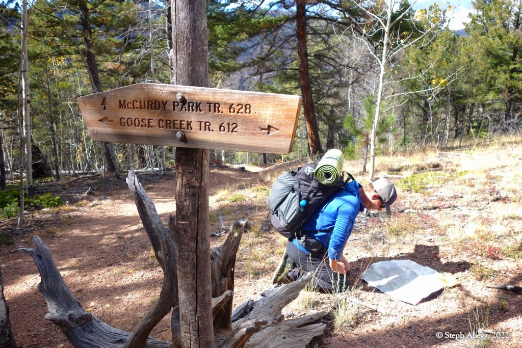
- From Lost Park Campground, east along Wigwam Trail #609 to junction with Goose Creek Trail #612 (8.2 miles)
- South along the Goose Creek Trail #612 to junction with McCurdy Park Trail #628 (3.0 miles)
- West and then south along the McCurdy Park Trail #628 to junction with Brookside McCurdy Trail #607 (7.3 miles)
- West and then north along the Brookside McCurdy Trail #607 to Lost Park Campground (10.1 miles)
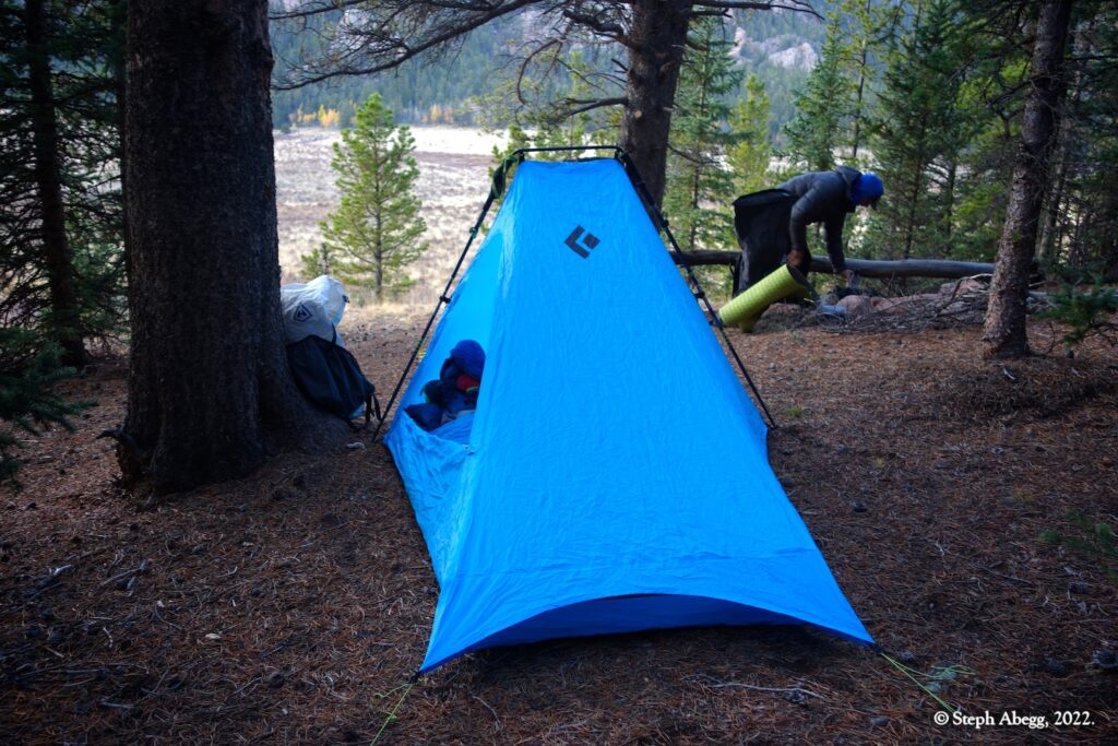
Nate and I hiked the loop over a weekend, camping Friday and Saturday nights along the loop. Our itinerary:
- Friday: Drive to trailhead, late afternoon hike along Wigwam Trail to campsite (~3.5 miles)
- Saturday: Hike Wigwam Trail, Goose Creek Trail, and McCurdy Park Trail to campsite below McCurdy Tower (~15.0 miles)
- Sunday: Hike Brookside McCurdy Trail back to trailhead (~10.1 miles)
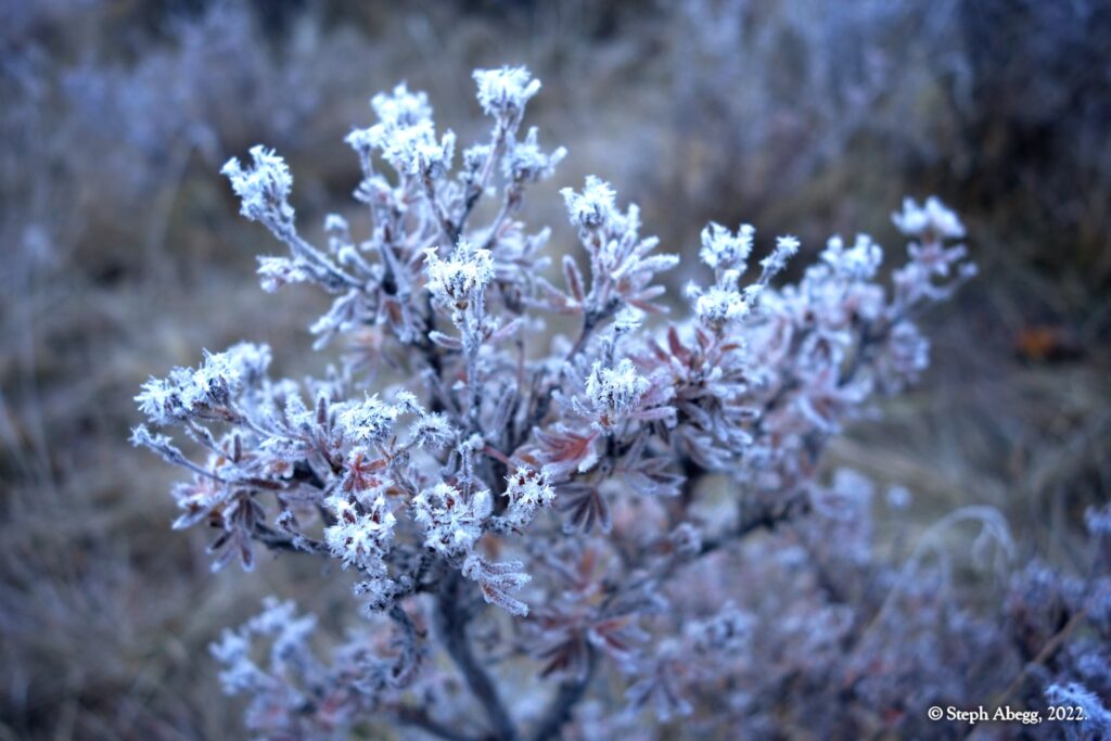
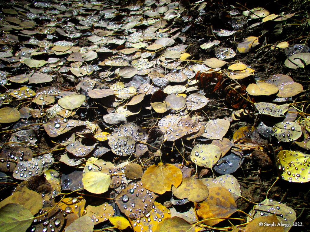
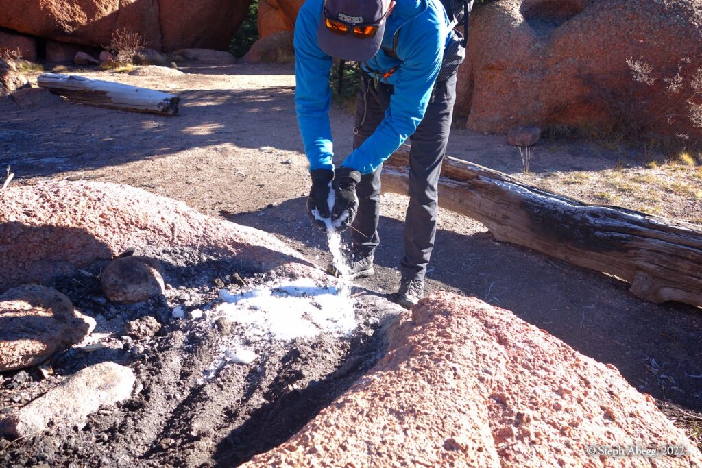
Nate and I had a wonderful time on this loop hike, enjoying two full days and two nights in the wilderness, sharing each others company and reveling in fall colors and breathing the crisp fall air. I had given Nate one of my extra cameras for the trip and together we took 450 photos (1/3 of them Nate's). Below is a trip report for our weekend overnight adventure, including both my and Nate's photos. It was difficult to narrow the photo selection down. Enjoy!

