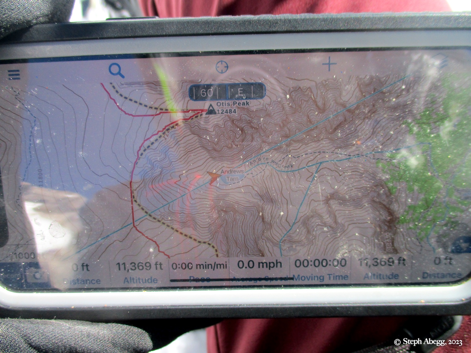
Otis Peak (& Andrews Glacier & Tarn)
Routes:
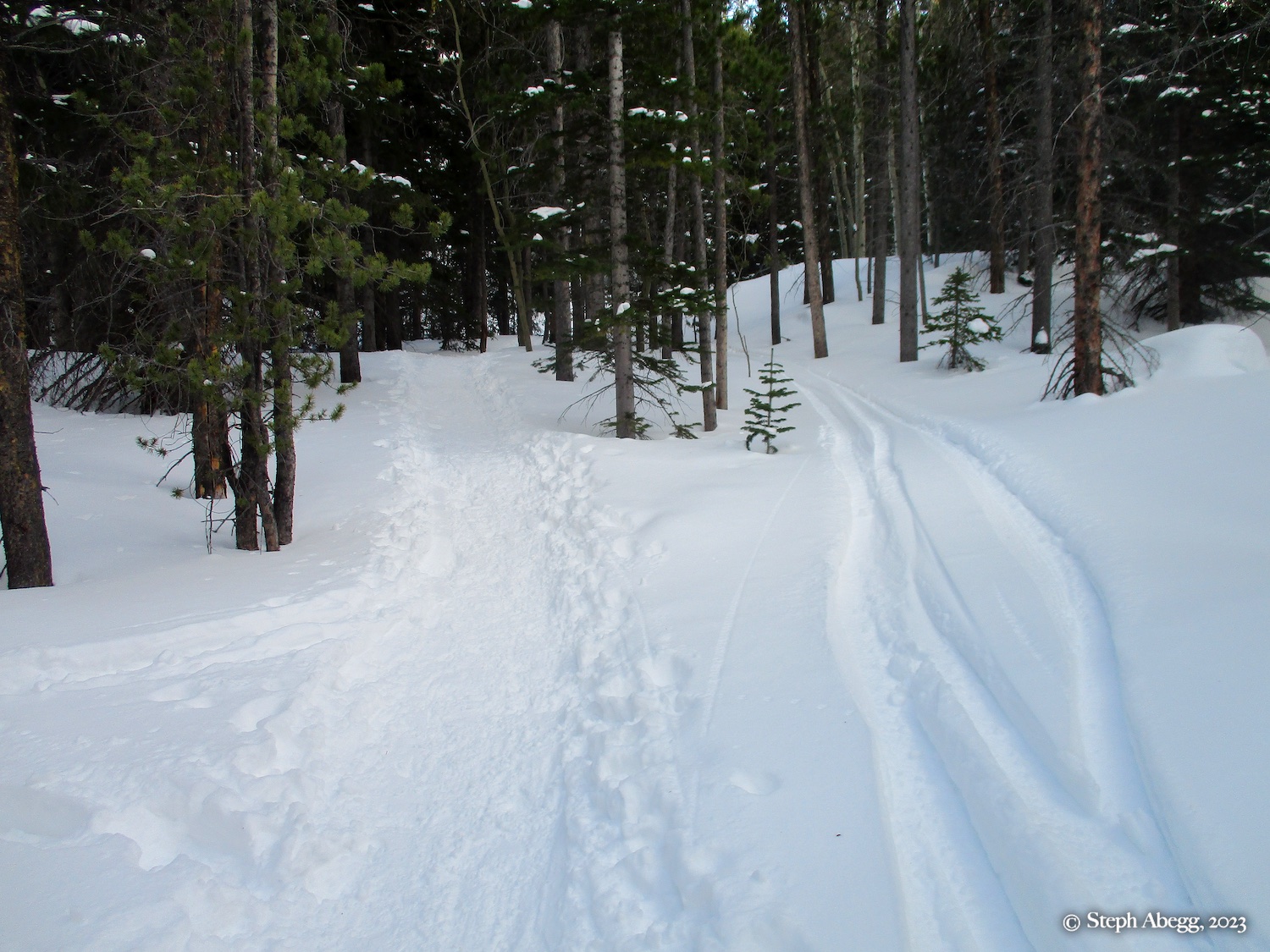
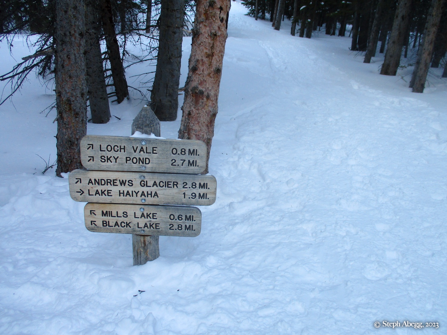
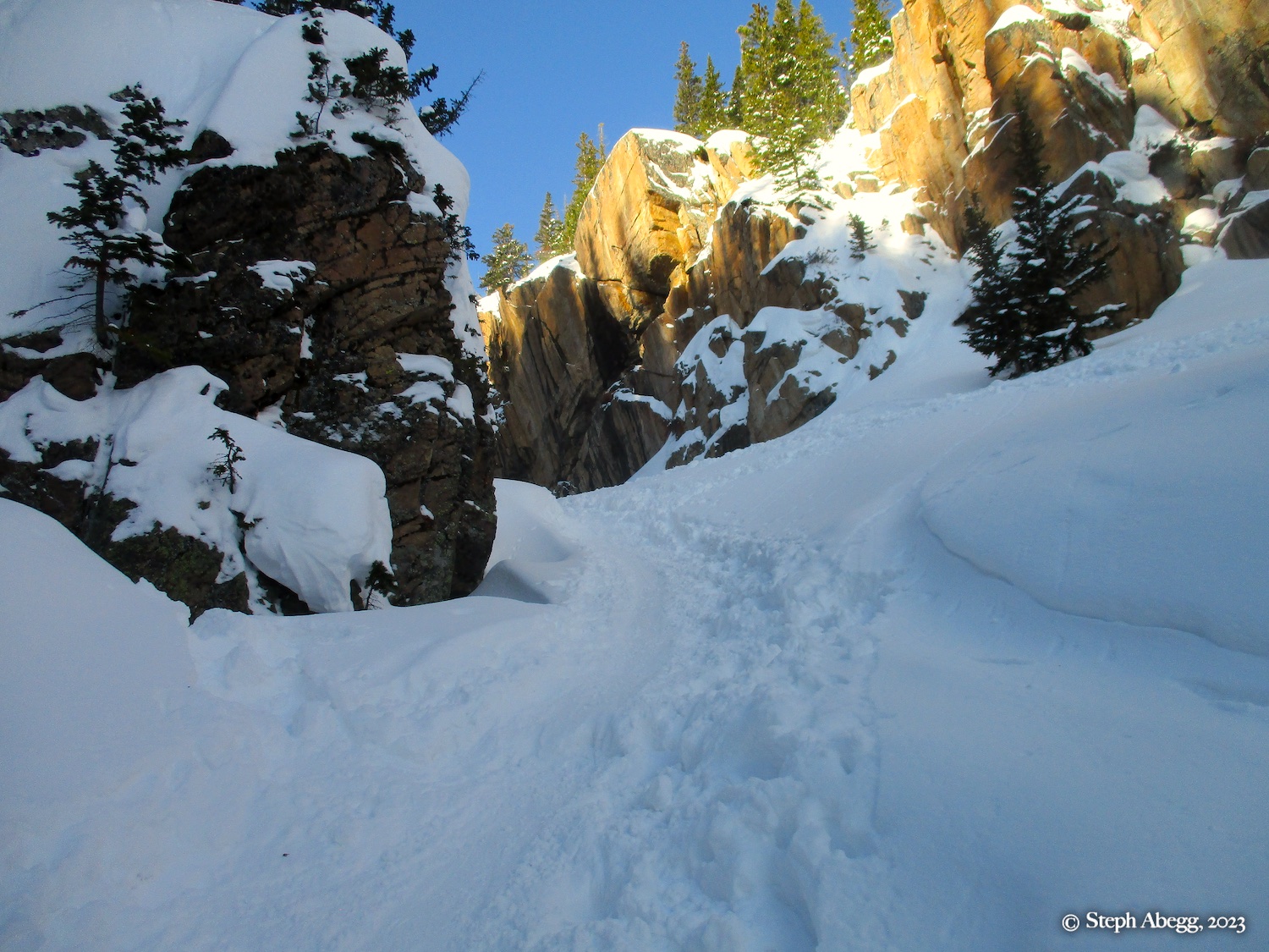
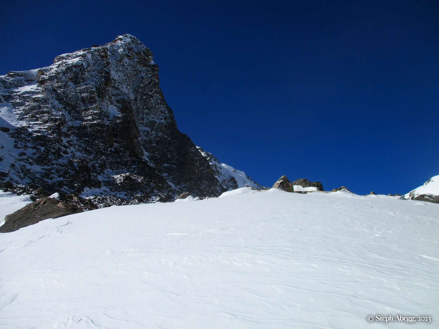
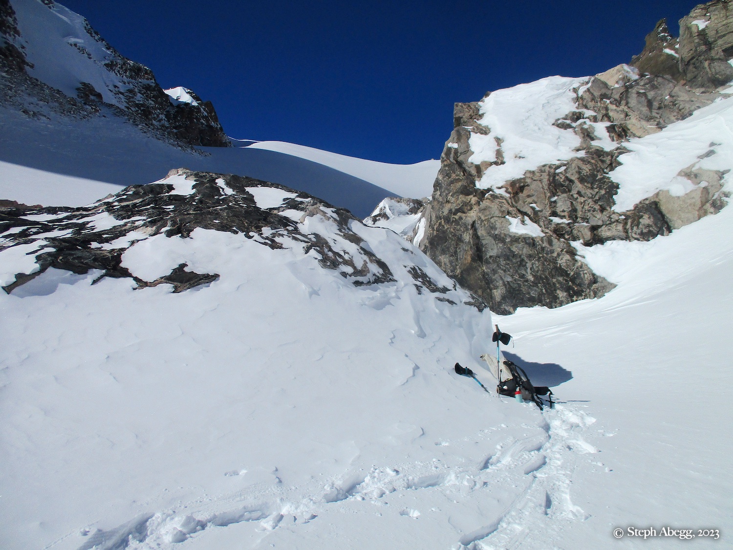
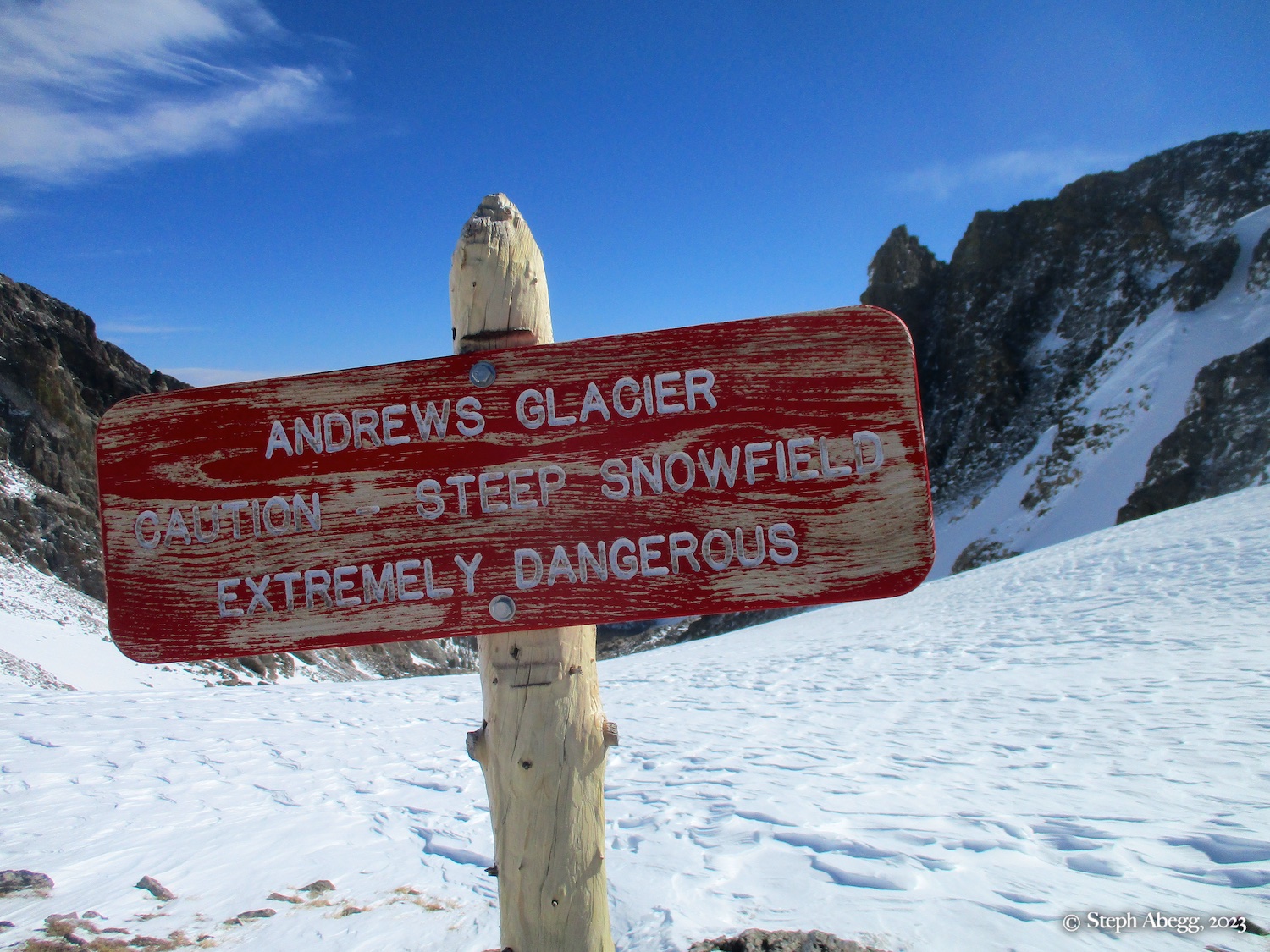
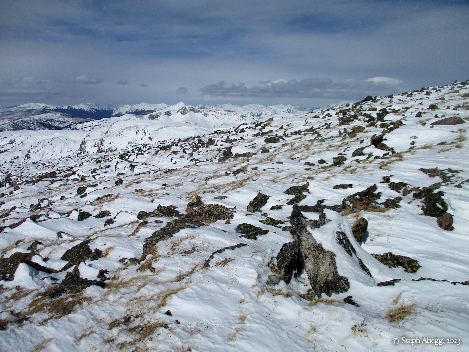
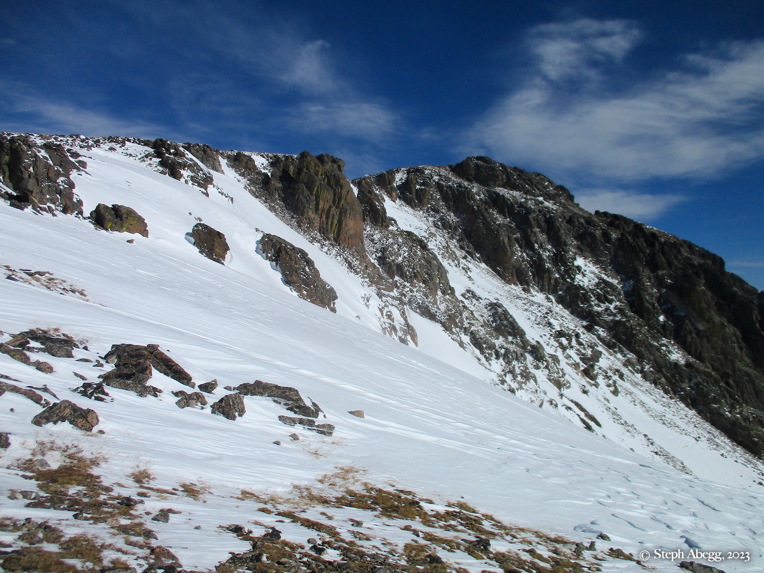
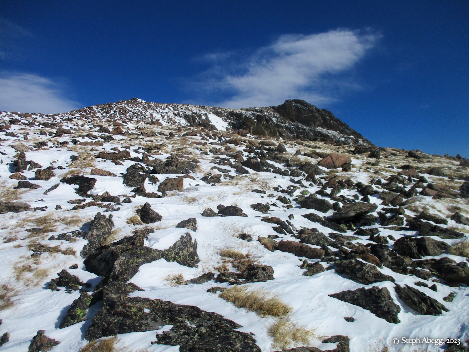
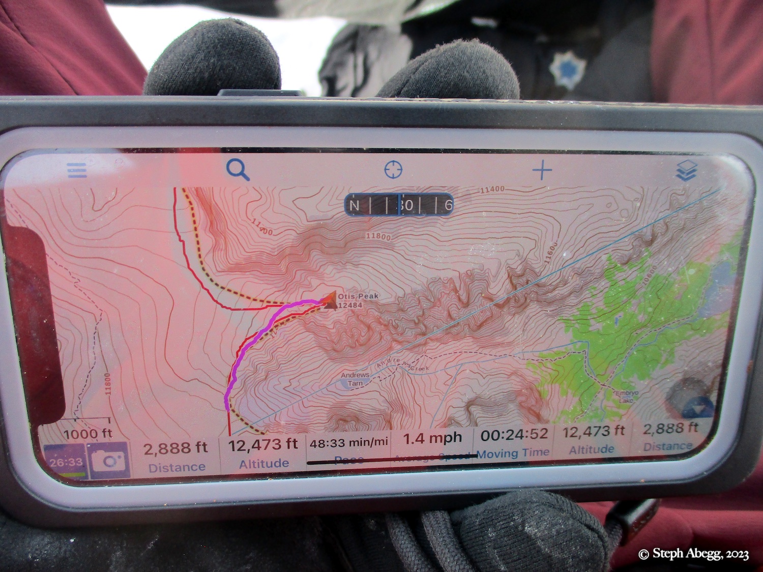
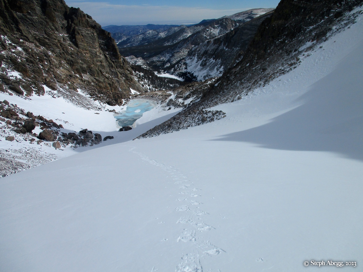
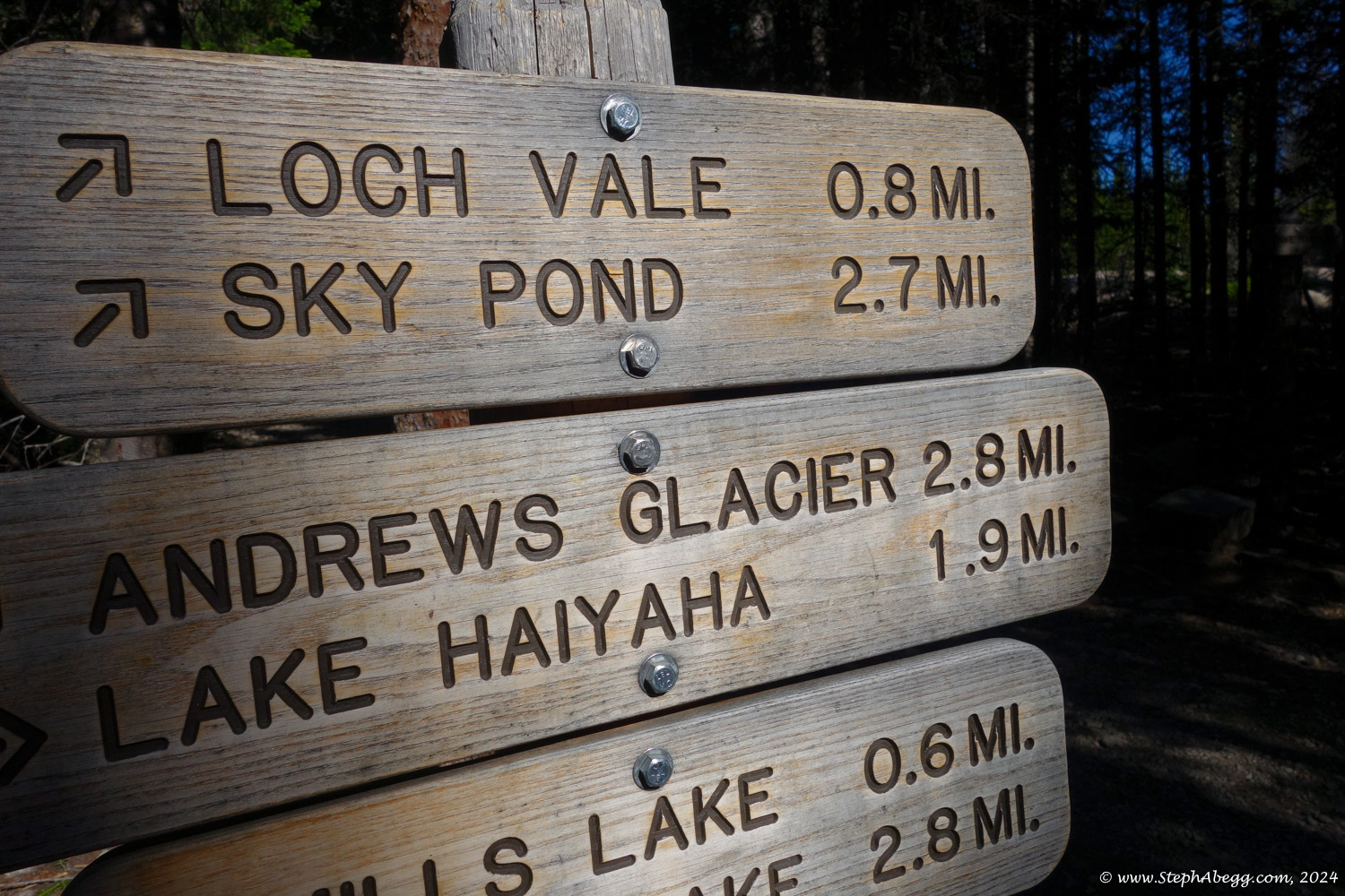
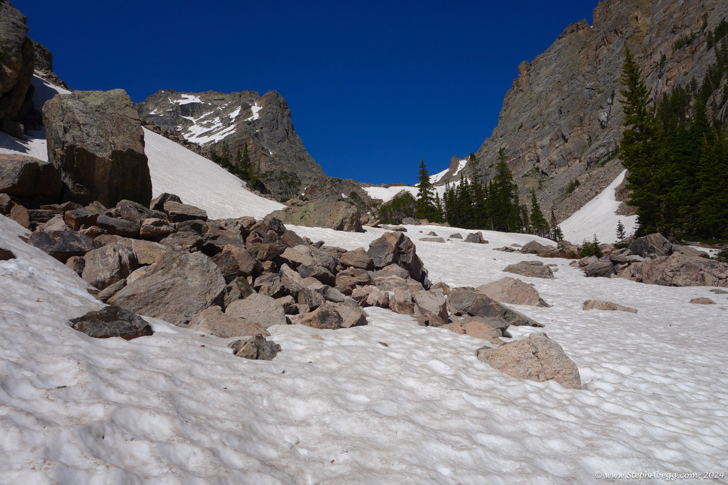
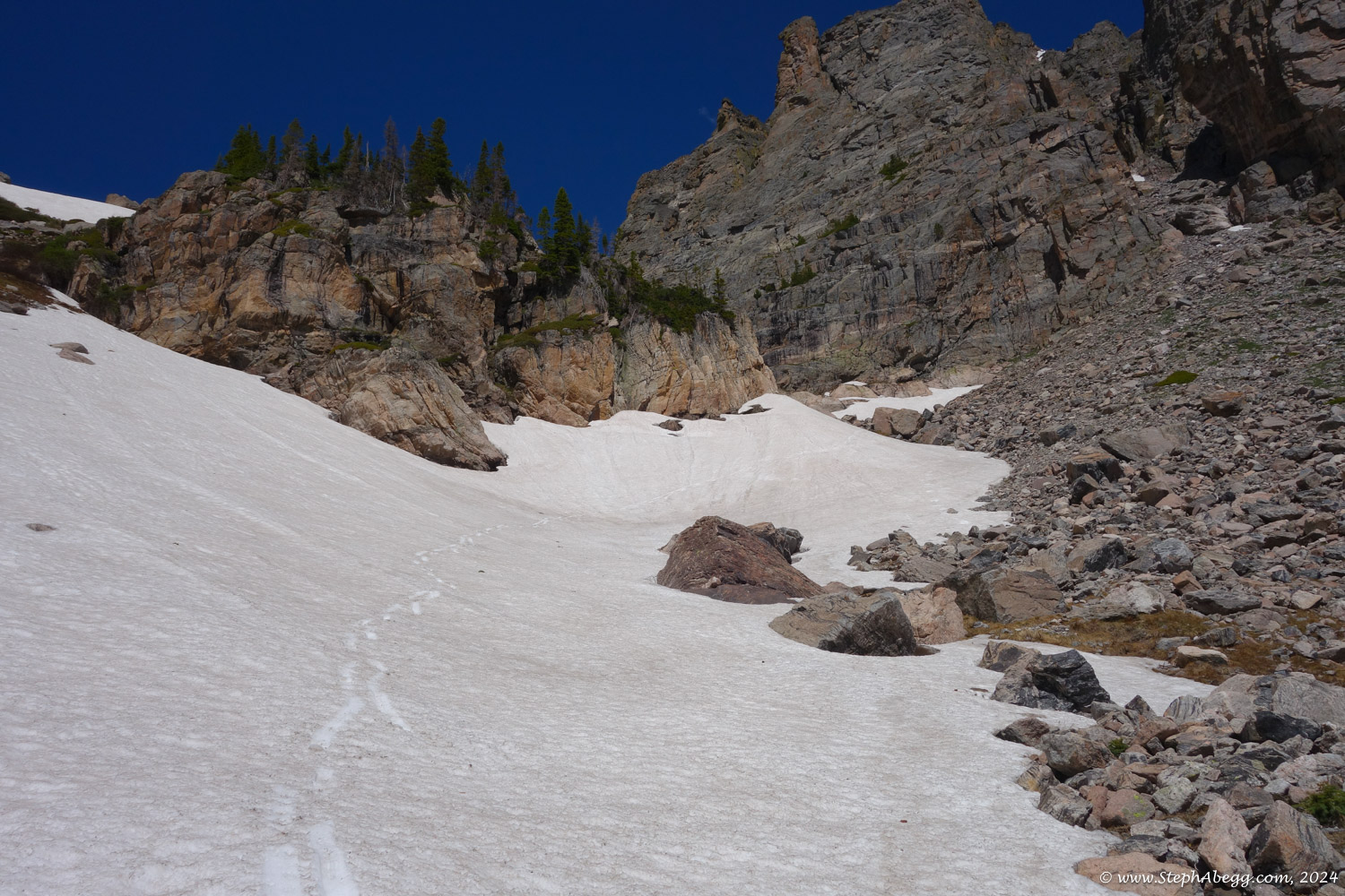
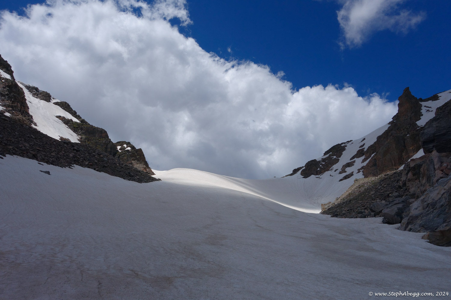
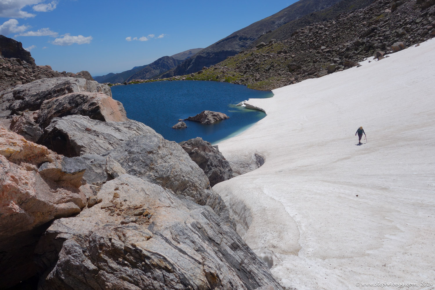
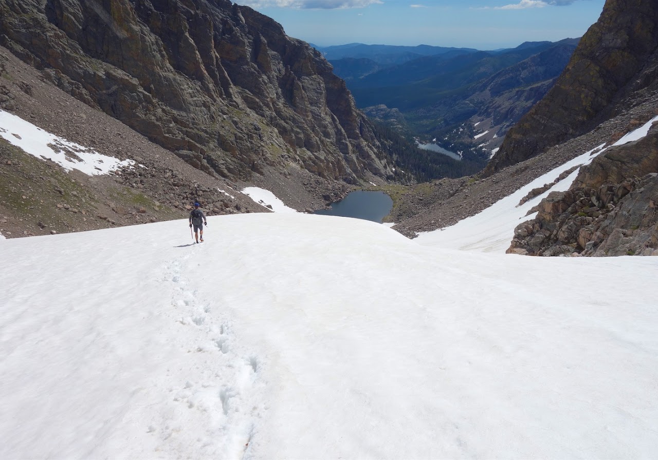
- Route (Otis Peak): Snow-covered trail and glacier and cross-country (~11.2 miles round trip, ~3300 ft gain/loss, snowy)
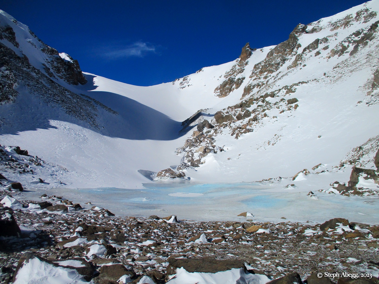
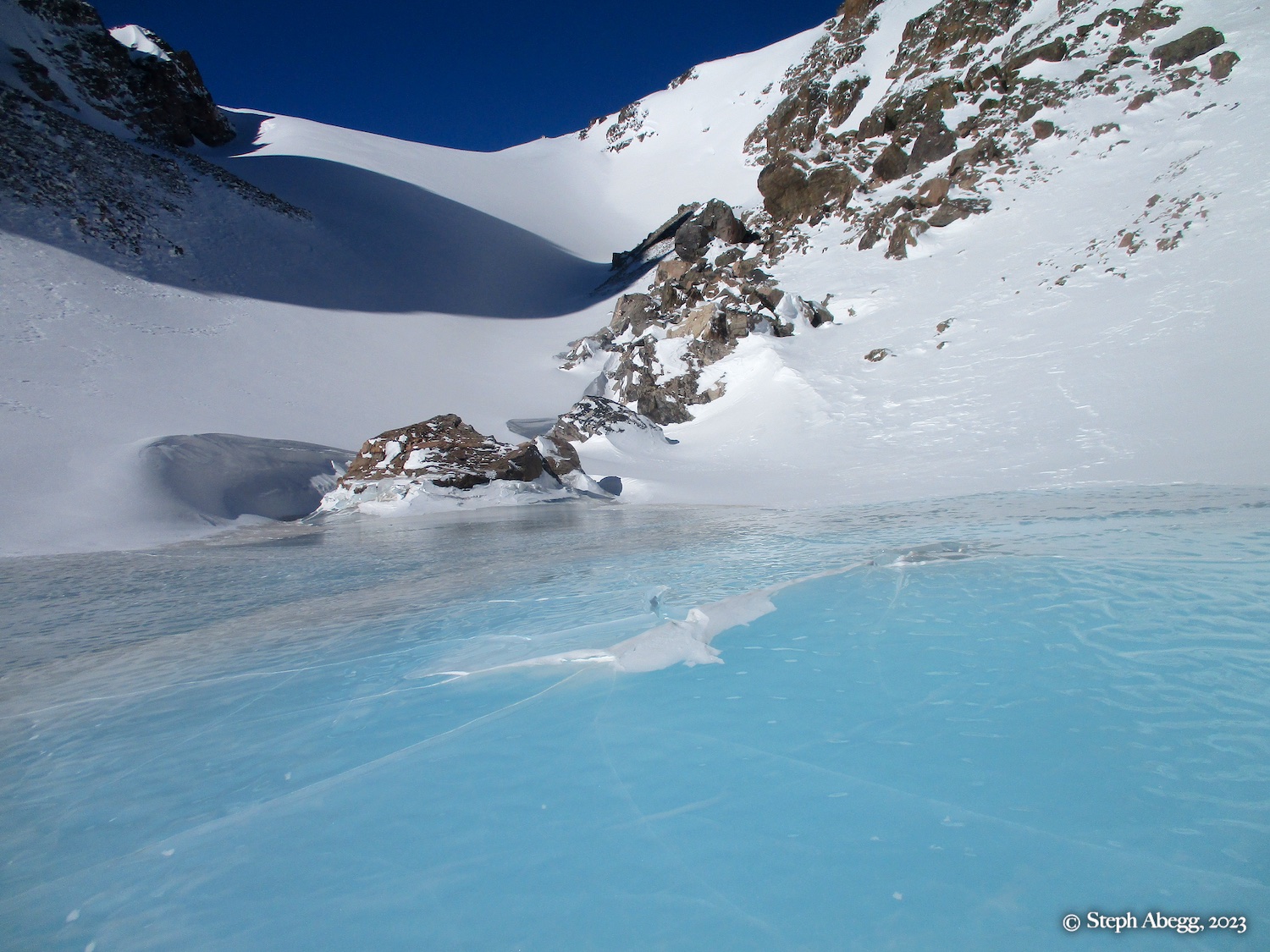
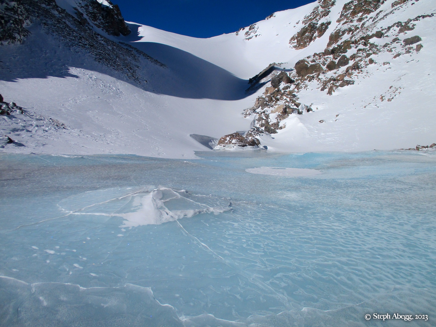
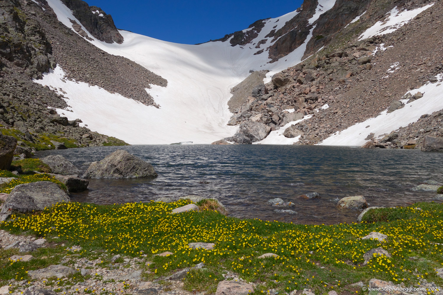
- Route (Andrews Tarn): Trail (~9.2 miles round trip, ~2200 ft gain/loss)
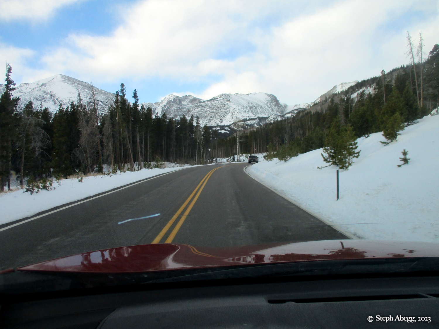
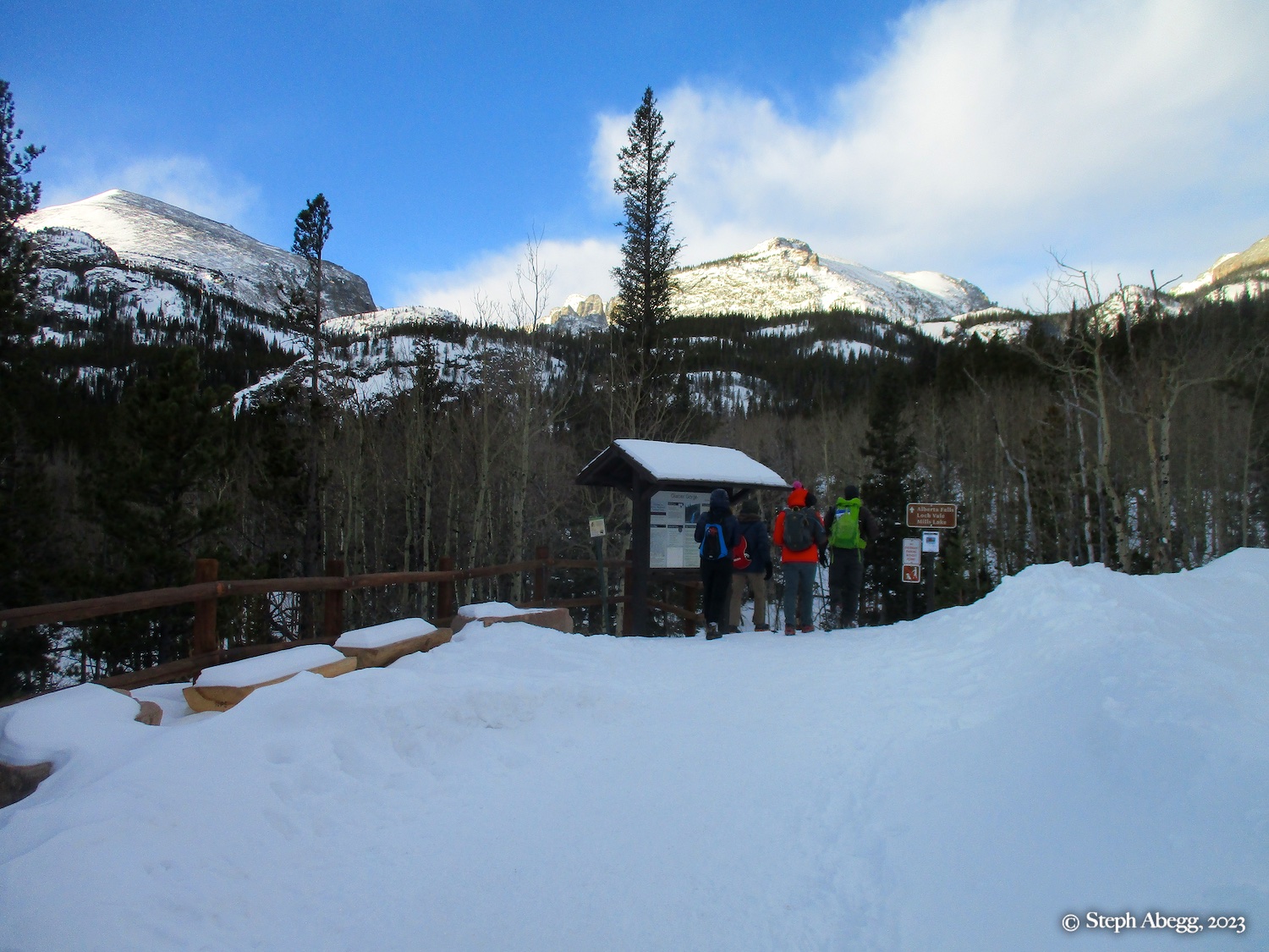
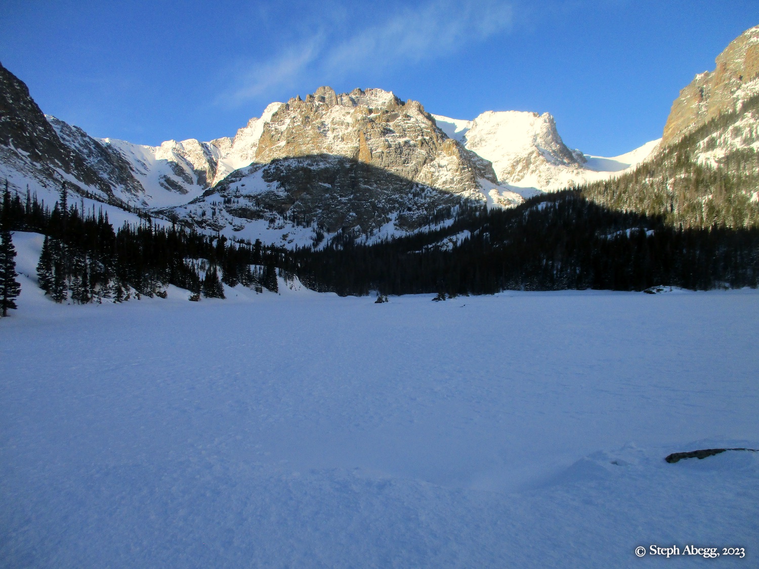
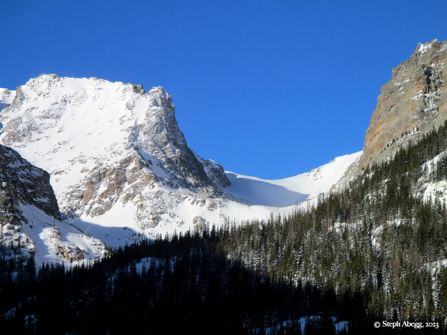
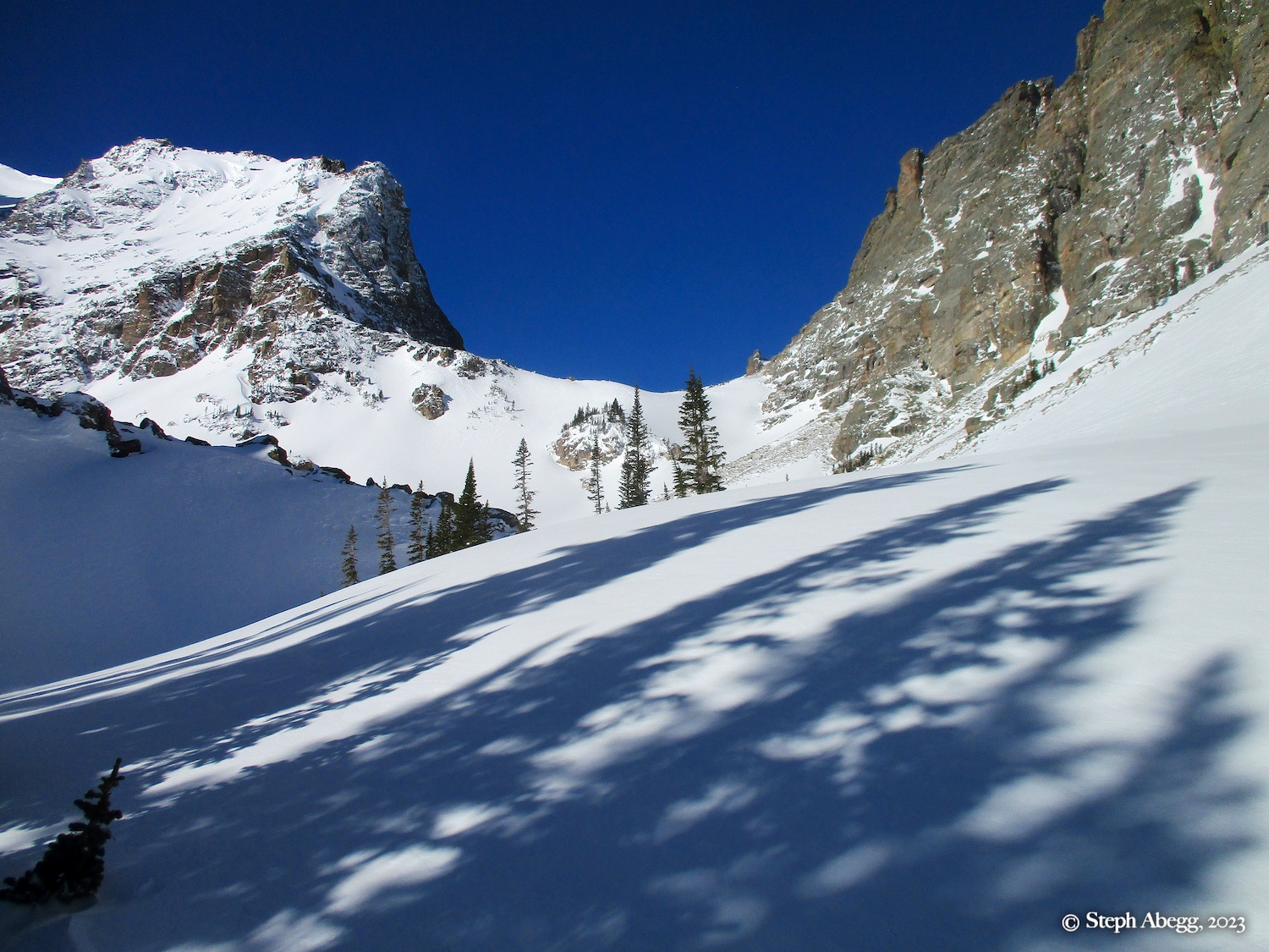
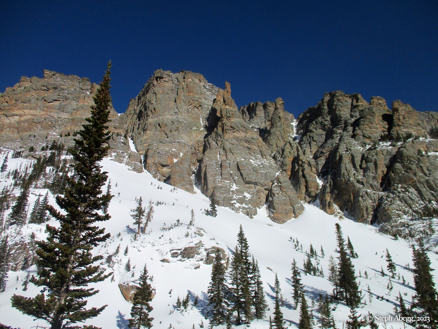
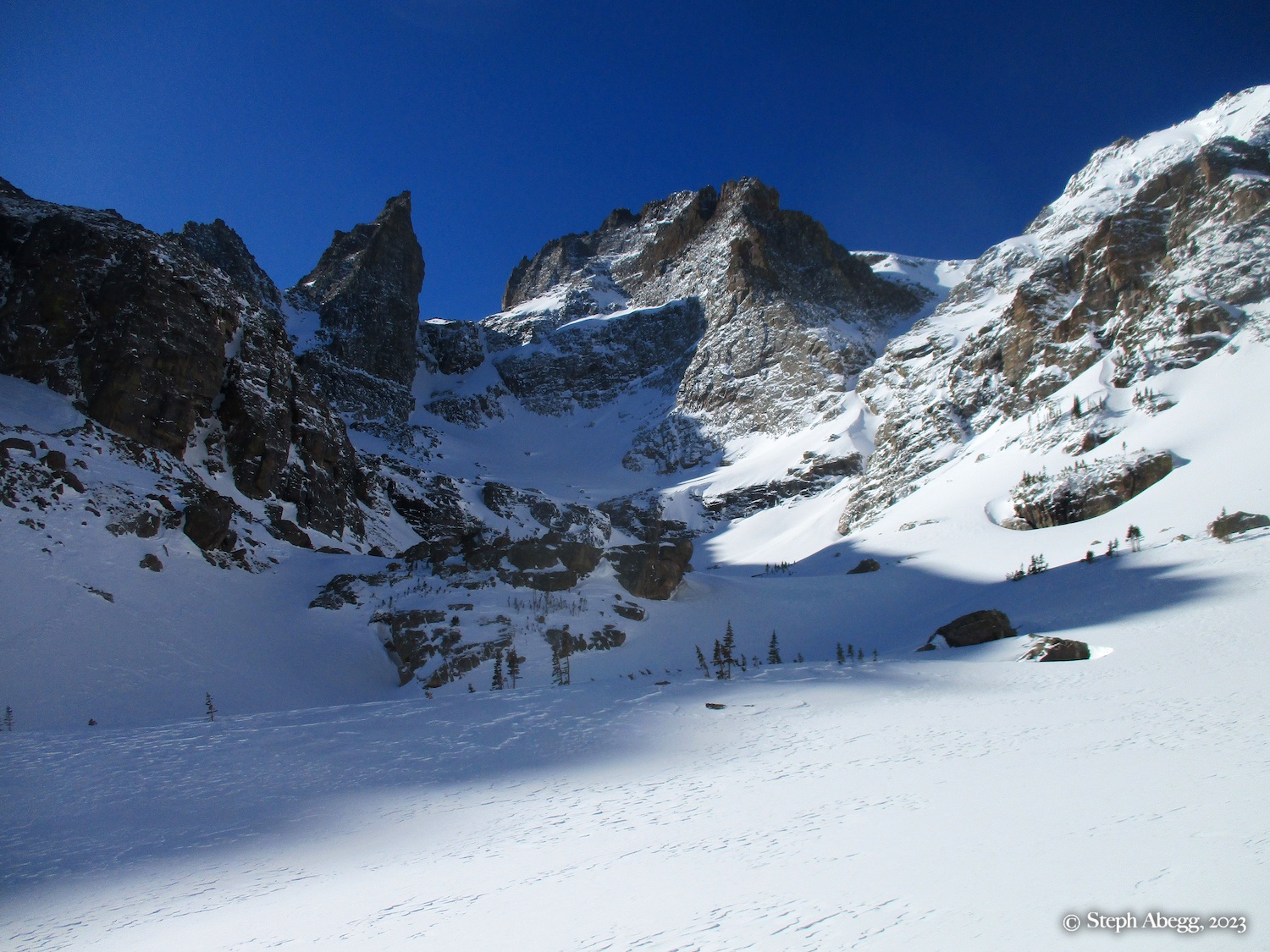
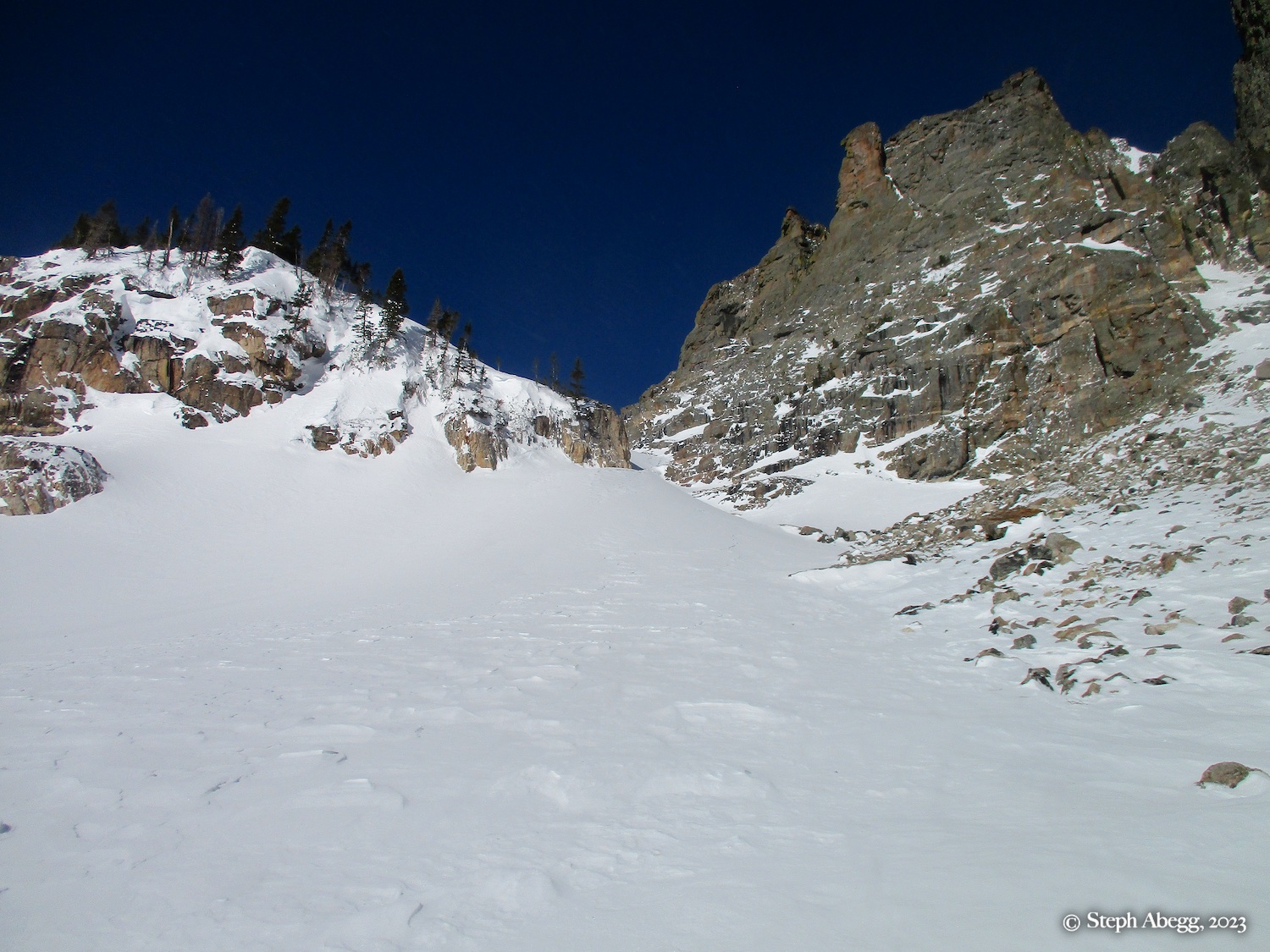
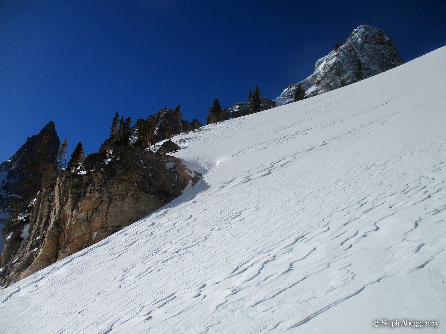
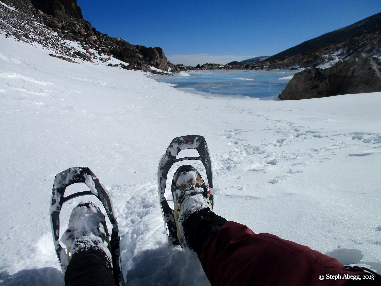
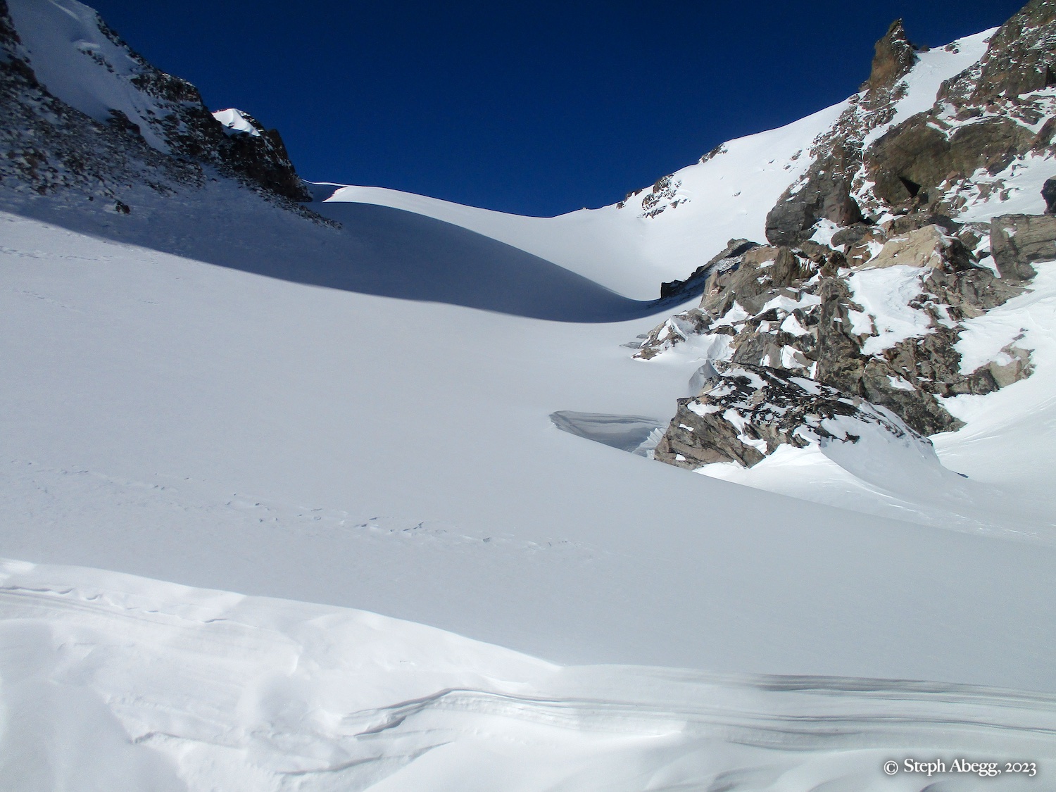
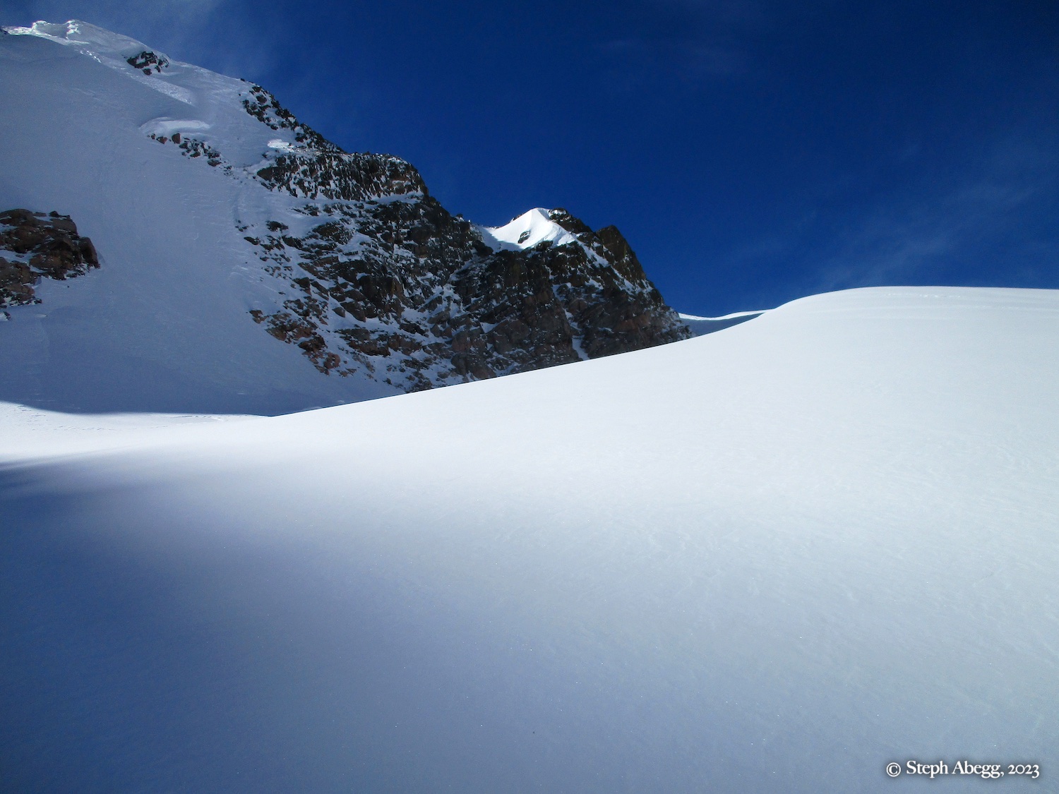
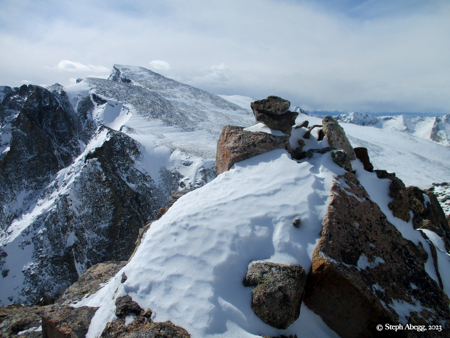
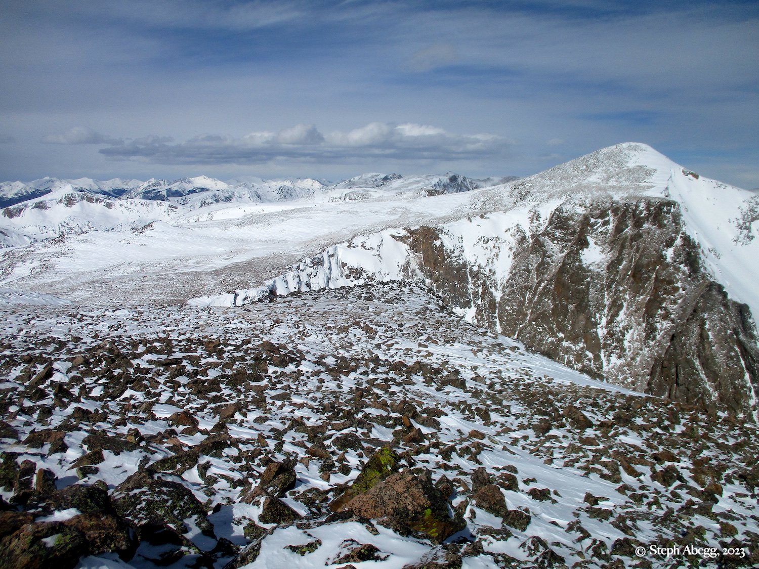
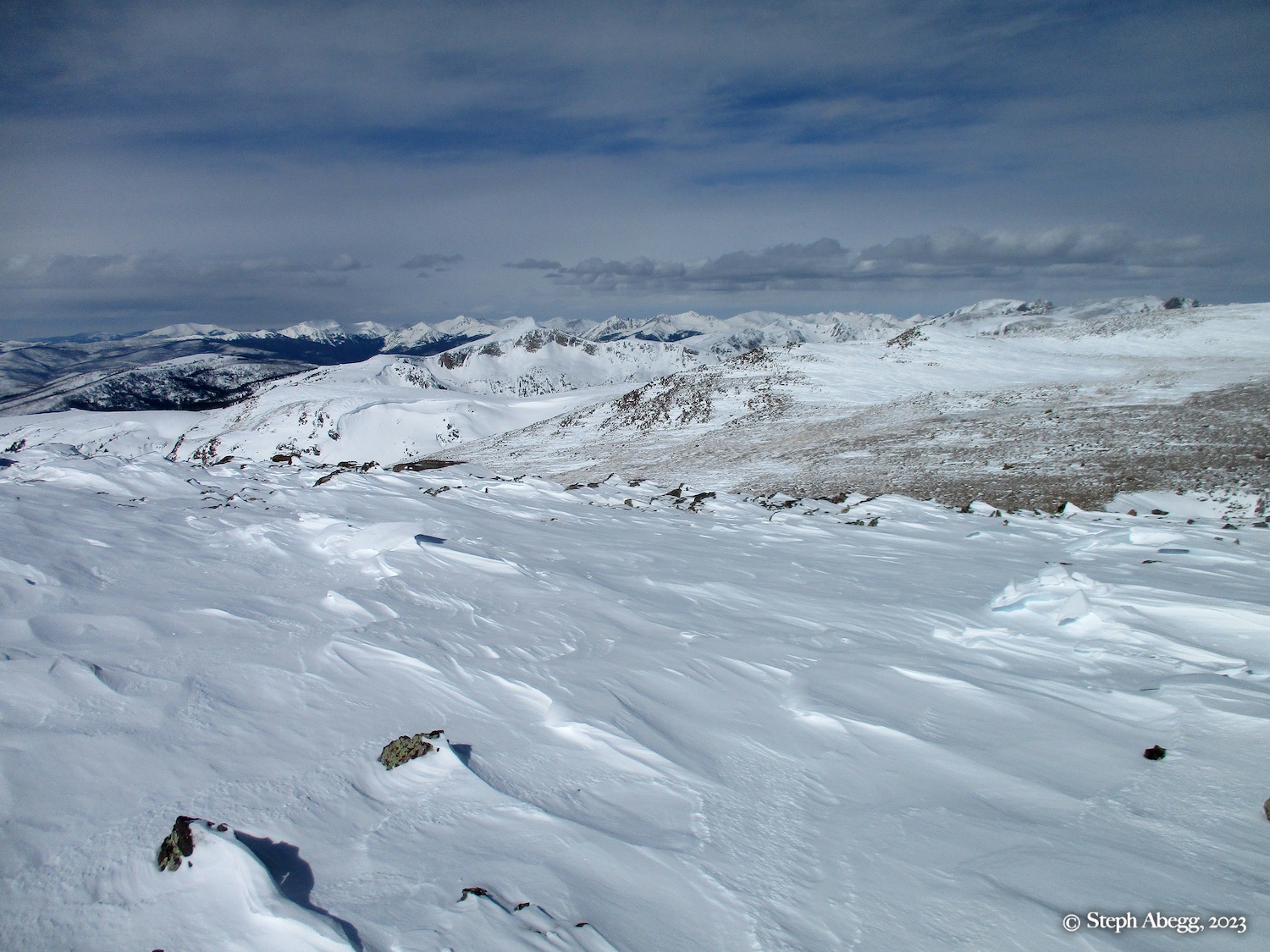
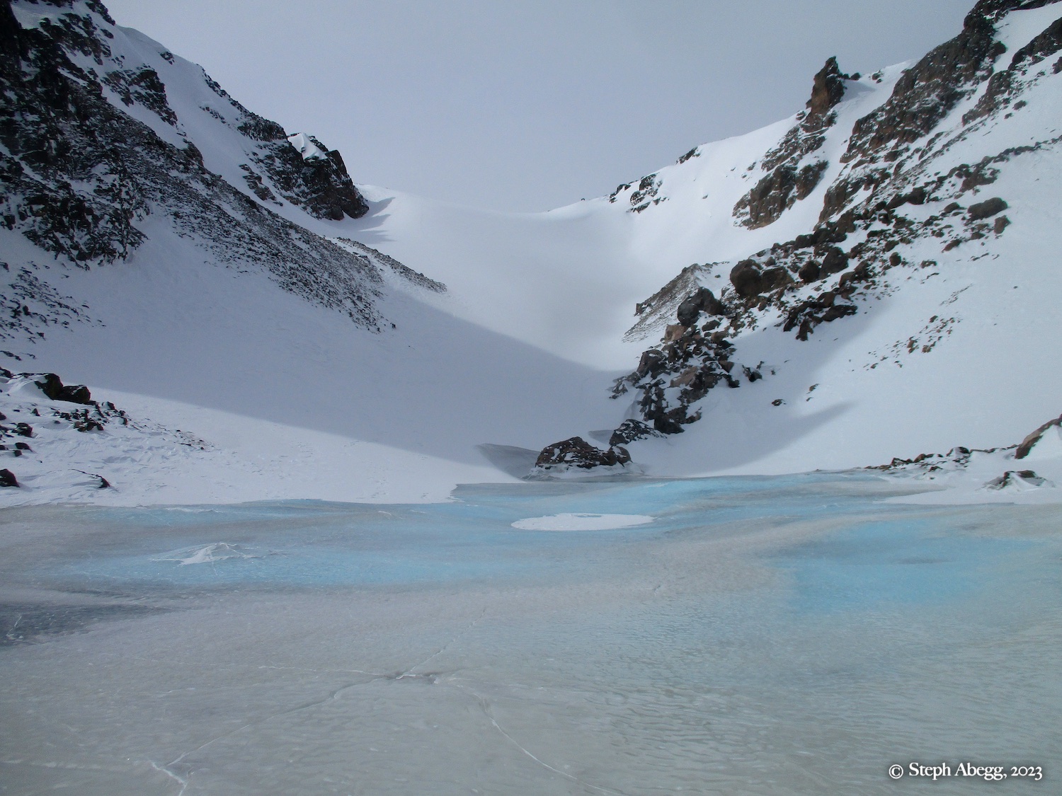
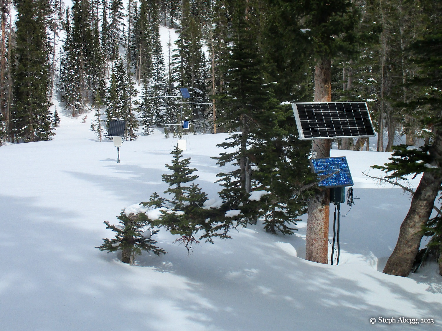
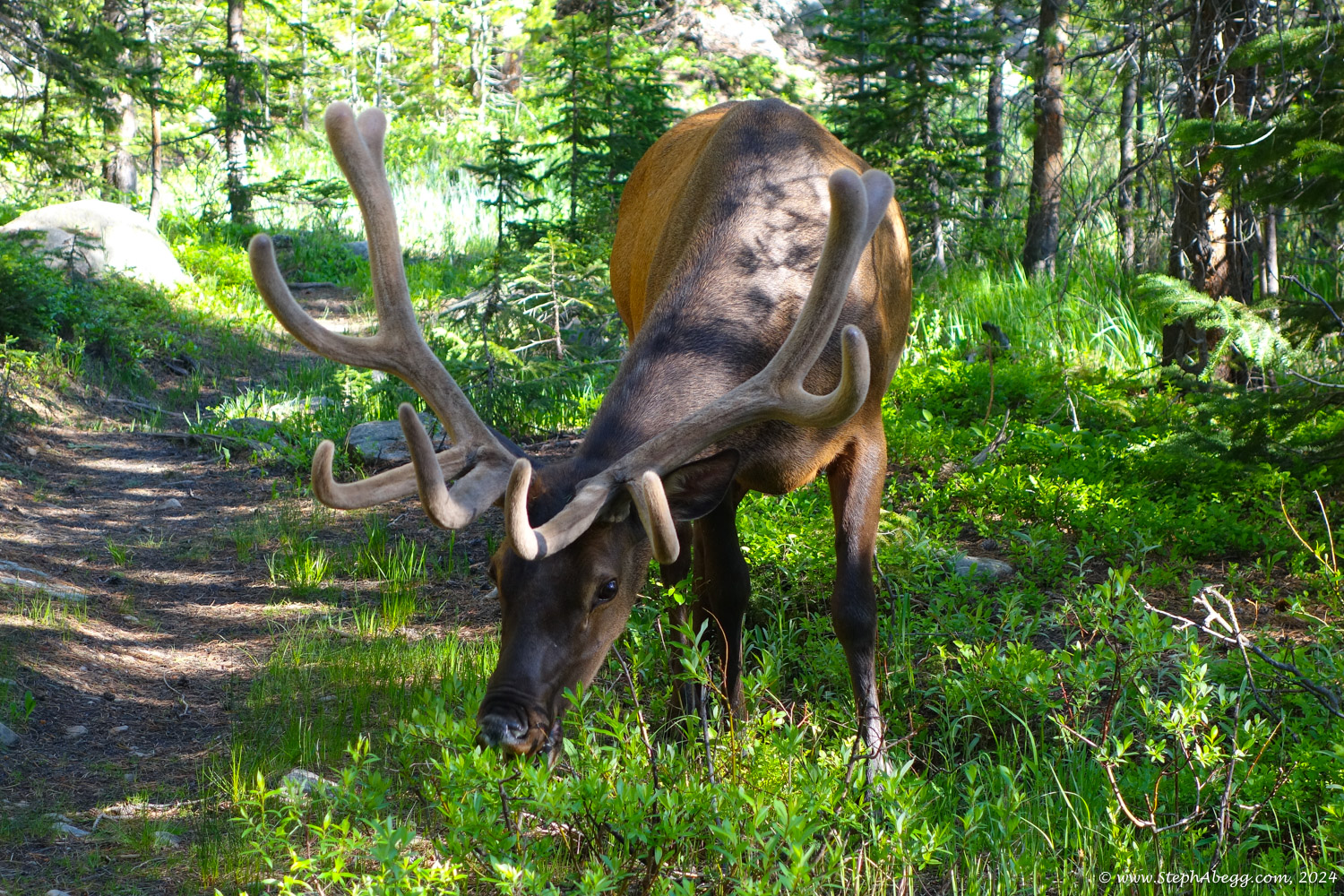
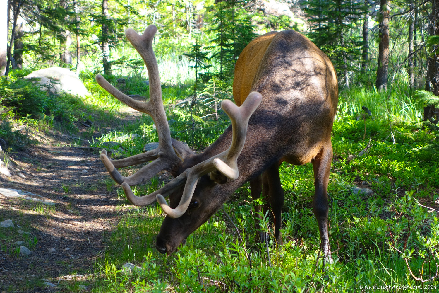
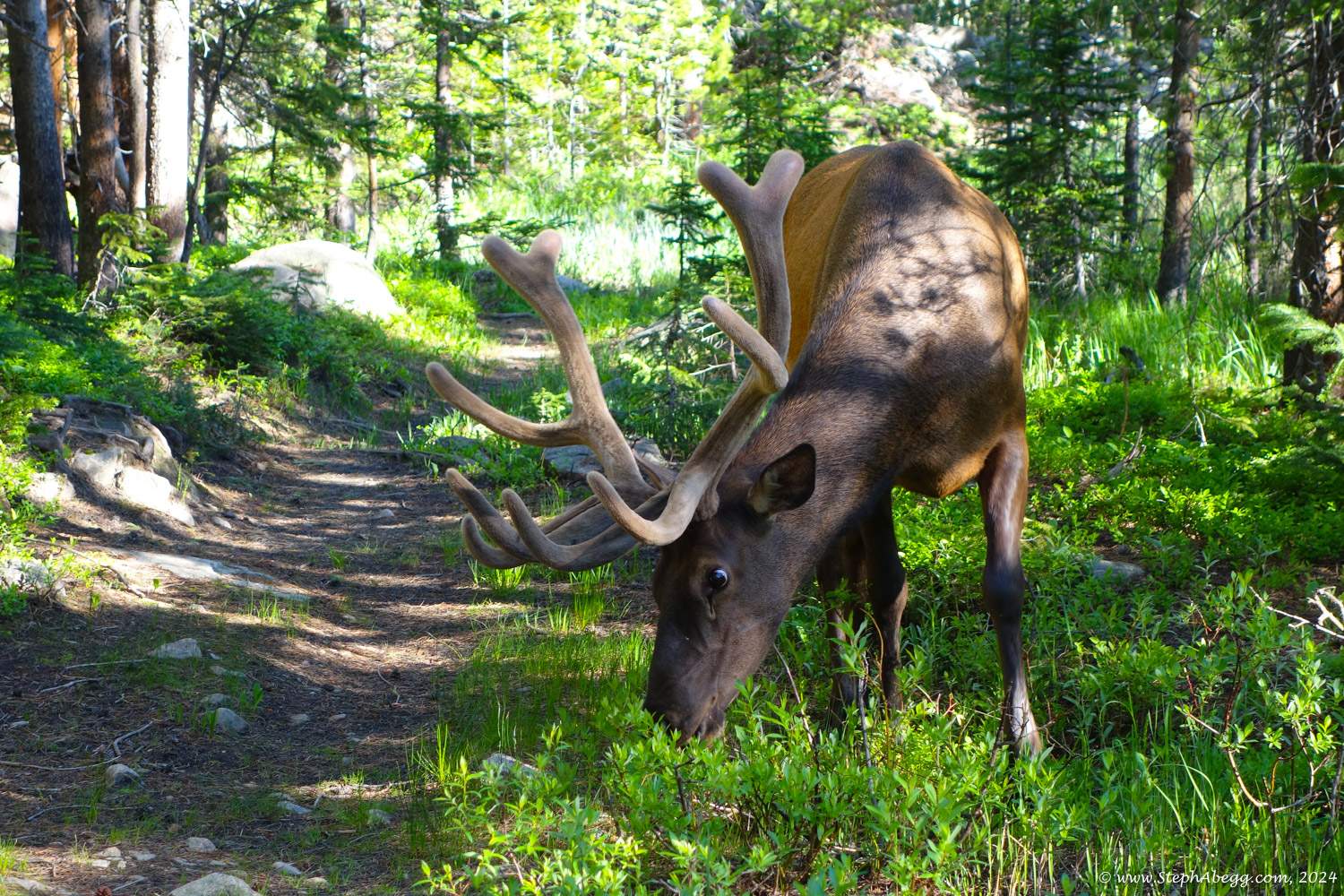
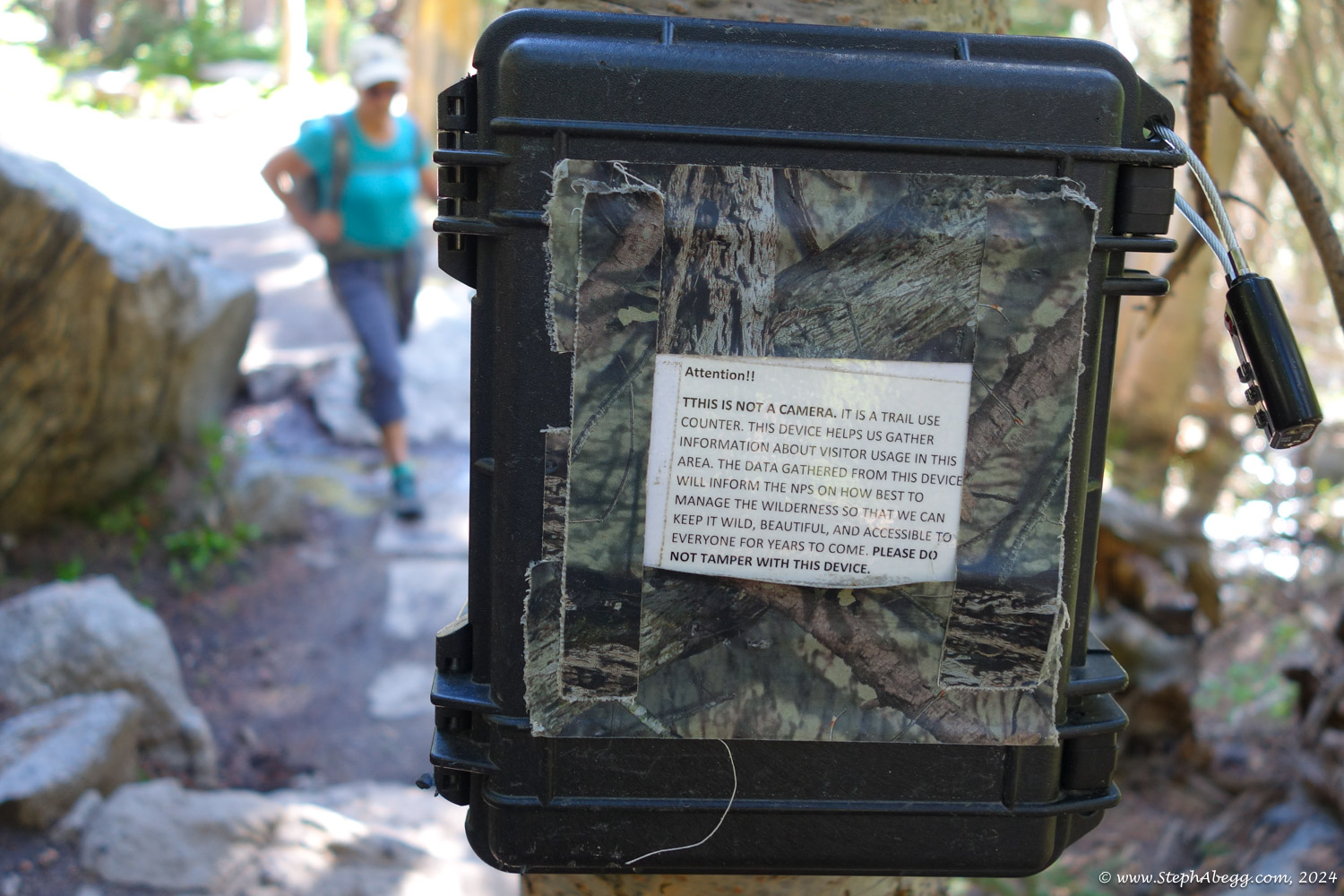
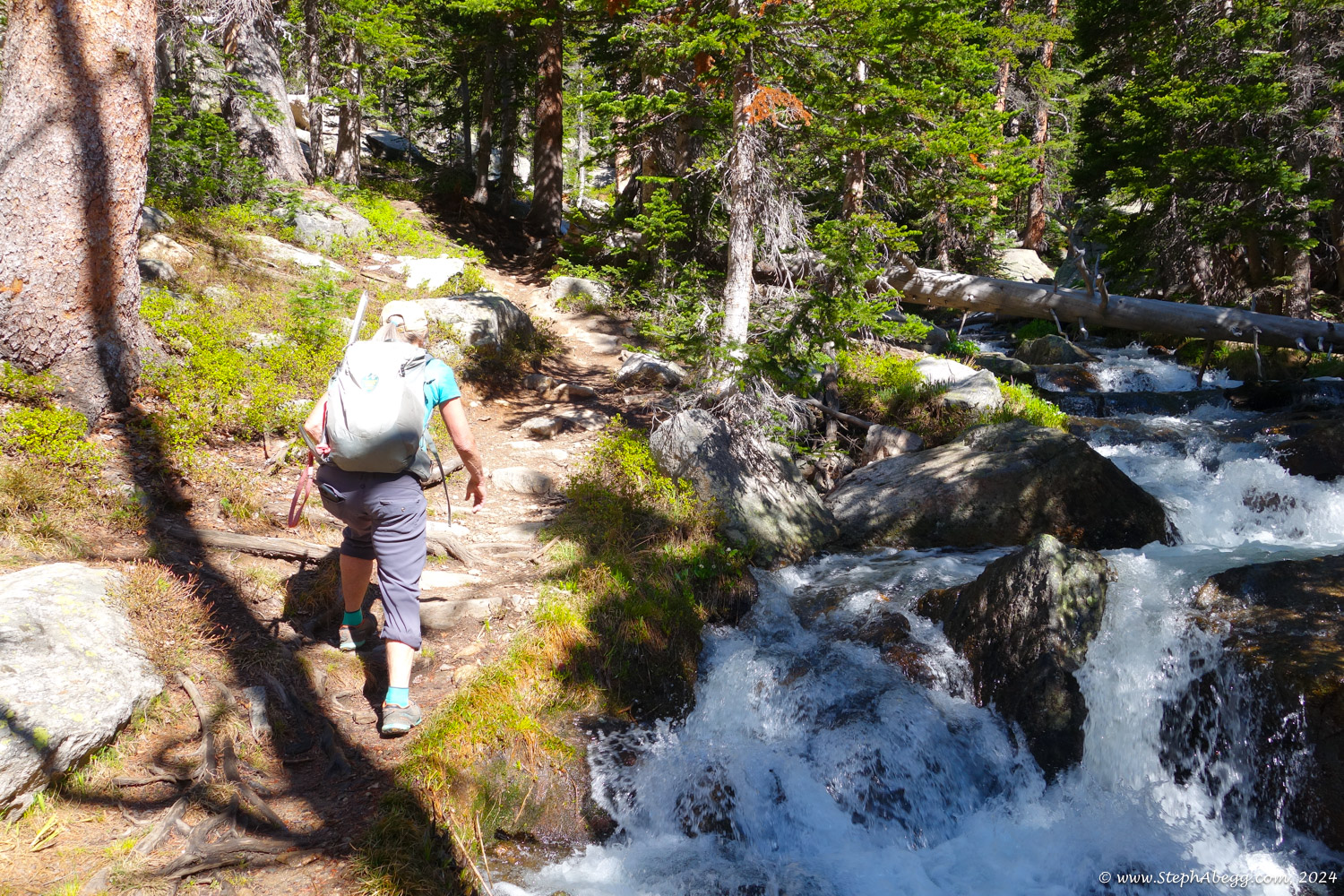
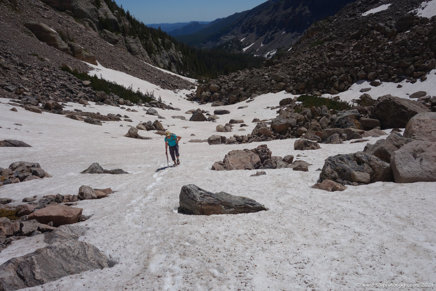
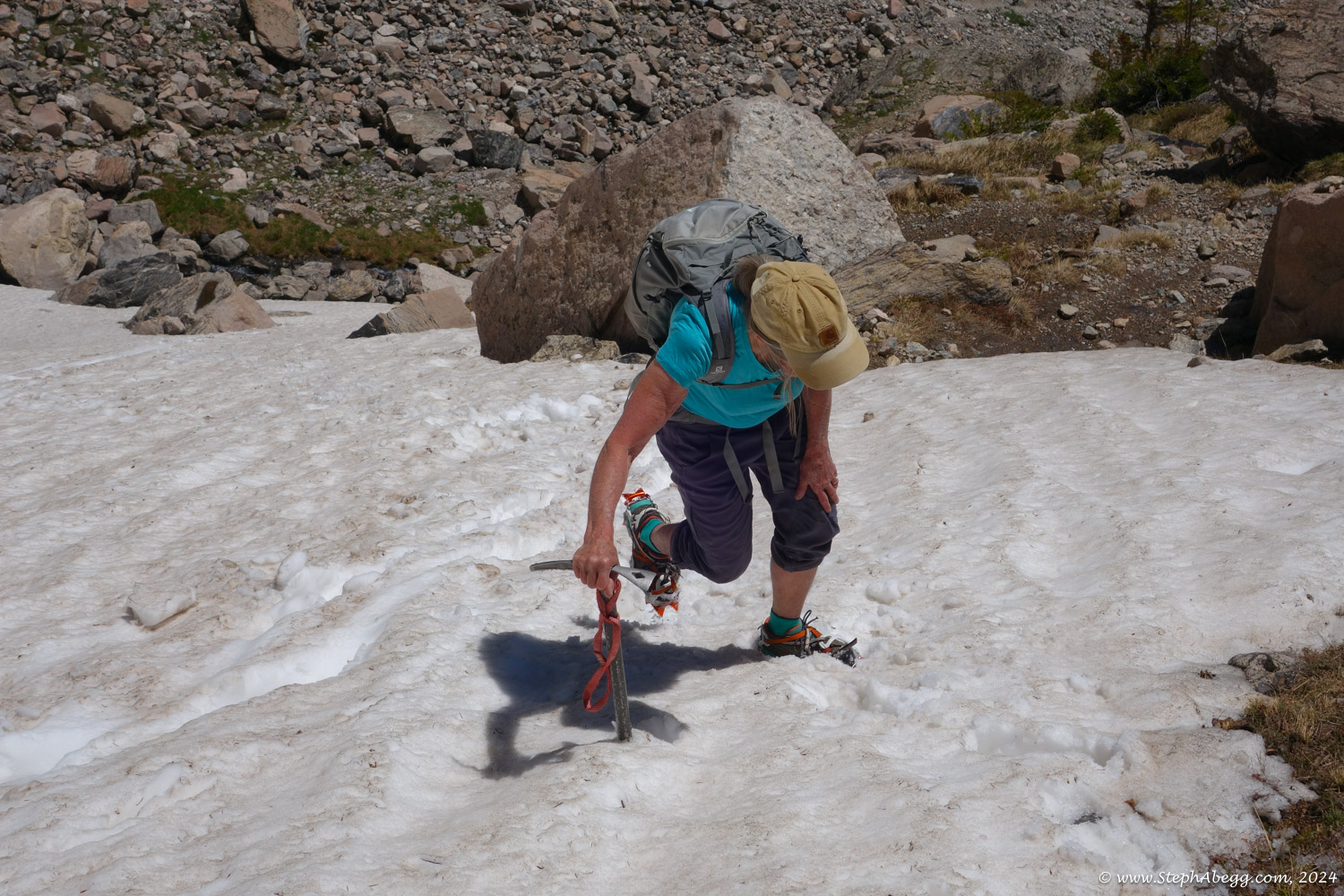
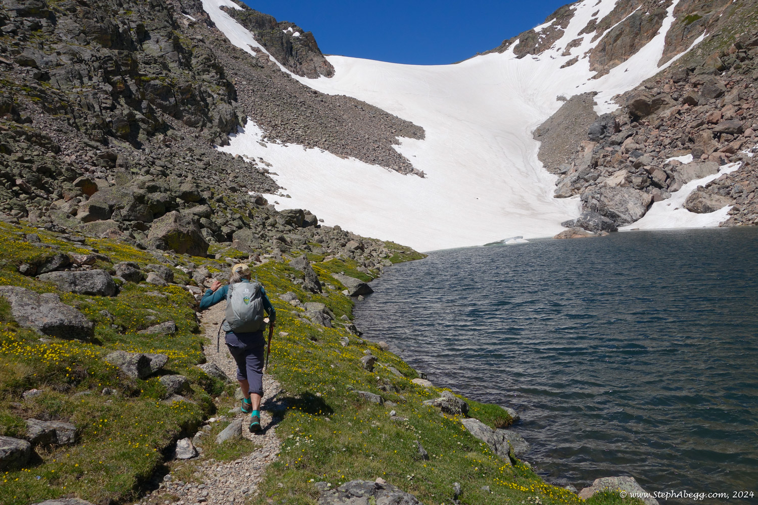
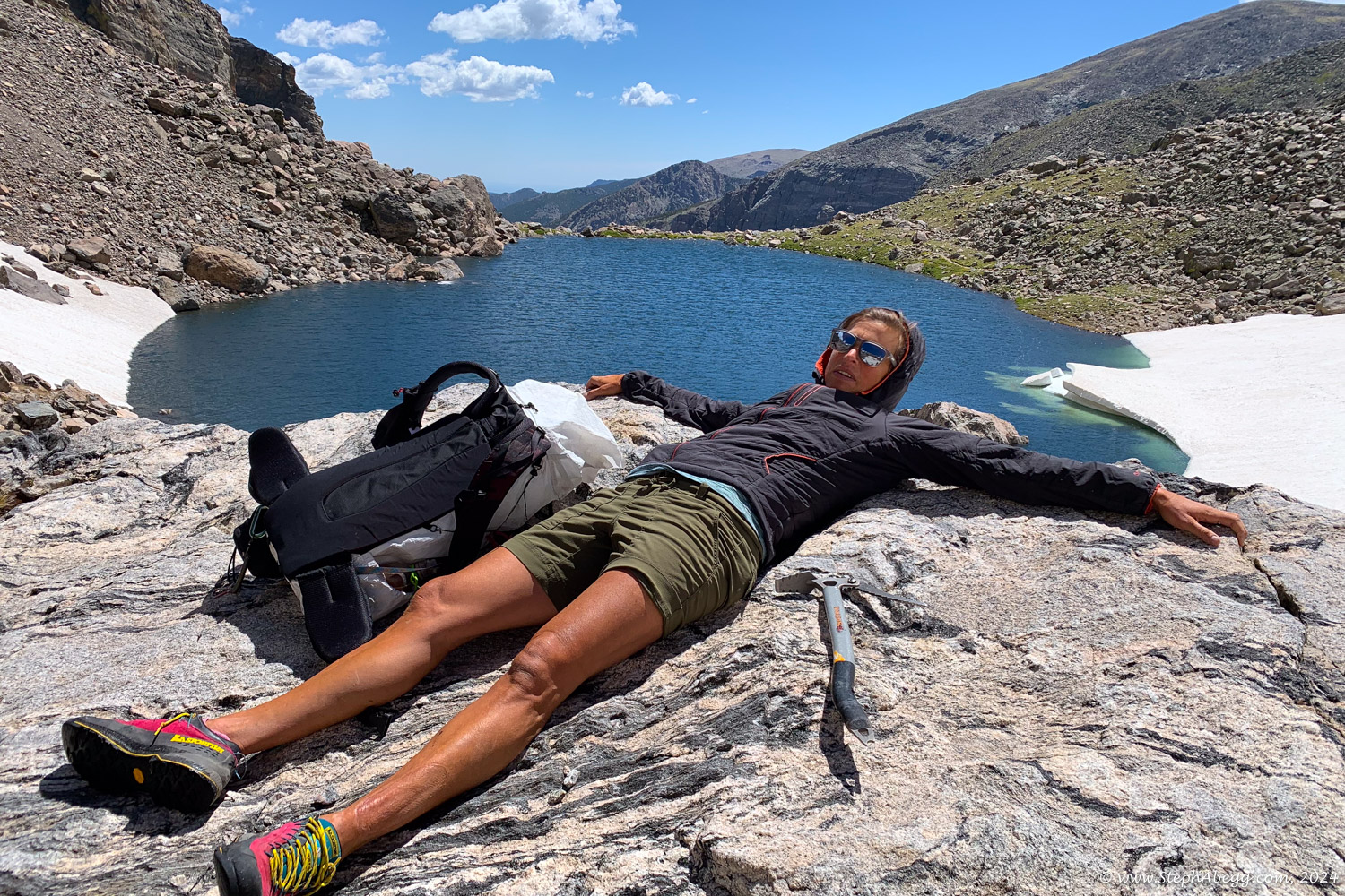
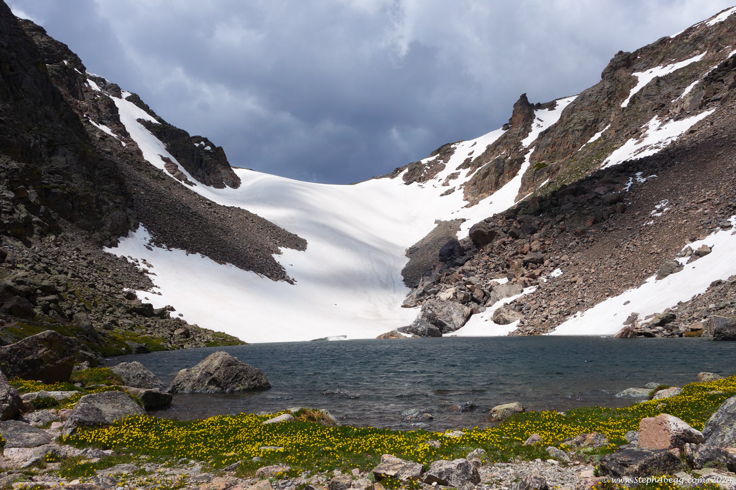
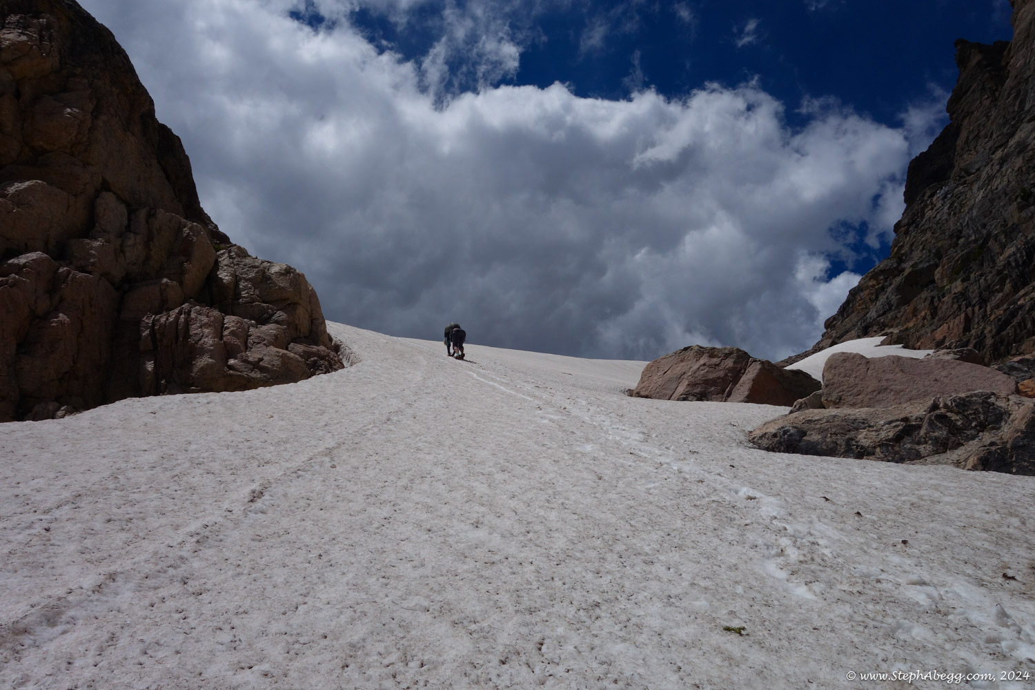
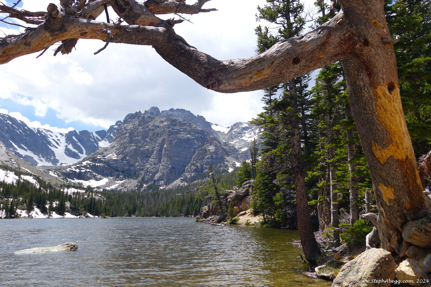
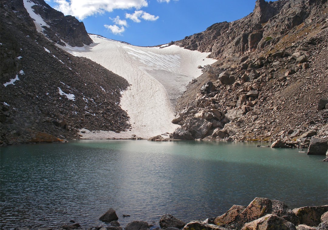
Feb 2023: A snowshoe past a high mountain tarn, up a glacier, and to a summit. June 2024: An early summer hike with my mom.
Region: Colorado
Elev: Glacier Gorge Trailhead Elev: 9,180 ft; Andrews Tarn Elev: 11,380 ft; Andrews Pass Elev: 11,980 ft; Otis Peak Elev: 12,486 ft
Mode:


Trip Report 1:
Otis Peak, Andrews Glacier, Andrews Tarn
Date(s): February 26, 2023 (Sun)
Partner(s): solo
Trip Report 2:
Andrews Tarn only
Date(s): June 22, 2024 (Sat)
Partner(s): Sue Abegg
Related trip reports:
This page contains trip reports for a winter hike past Andrews Tarn and Andrews Glacier to Otis Peak and a summer hike with my mom to Andrews Tarn.