Earlier in the winter, I had snowshoed up to the top of
Otis Peak via Andrews Glacier. The previous winter I had done an ascent of
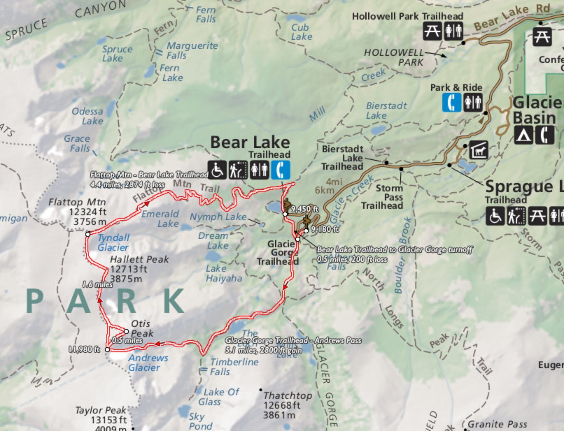
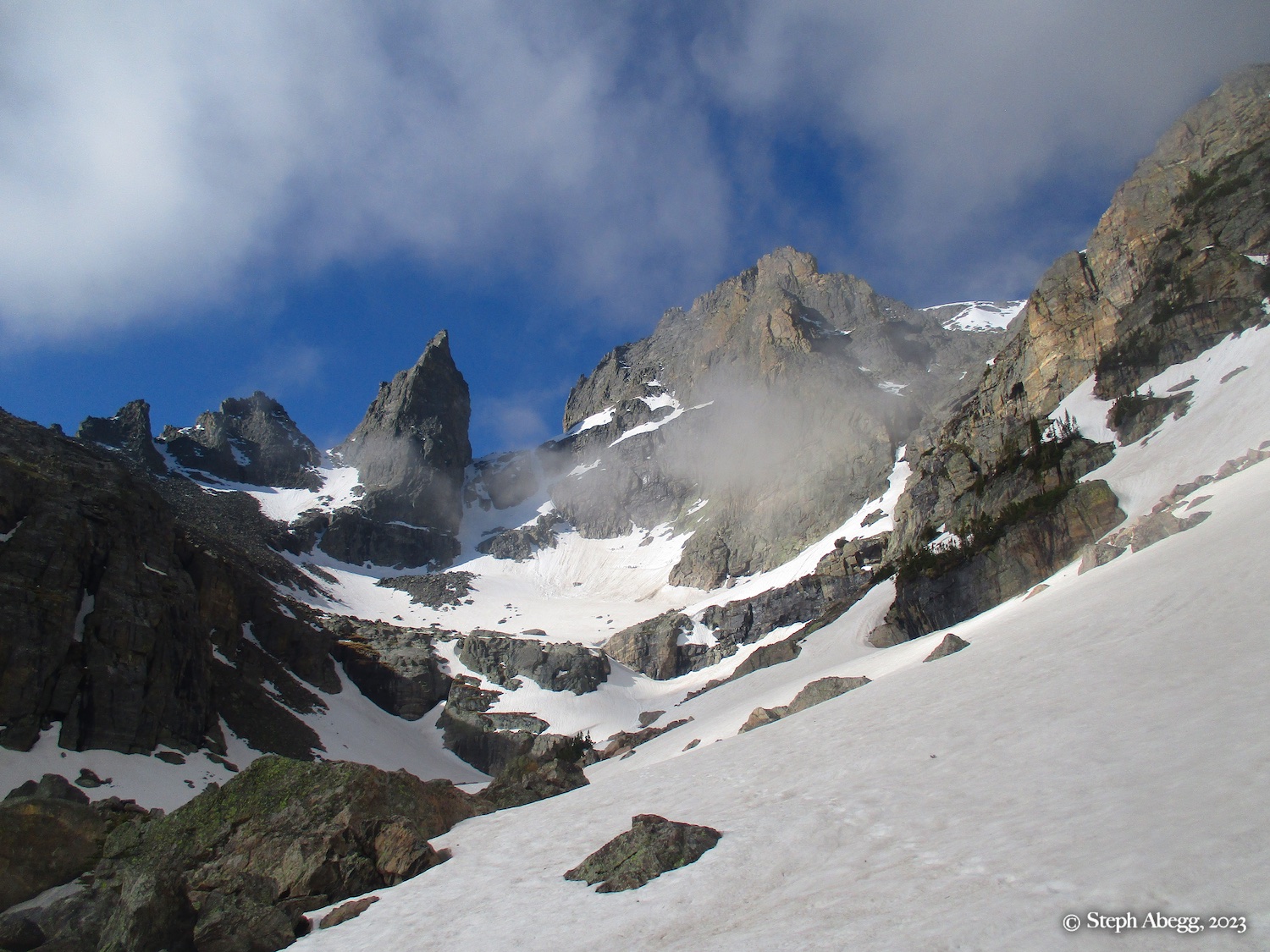
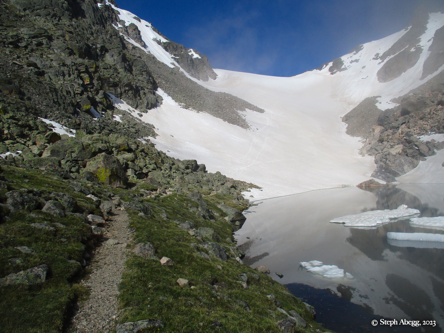
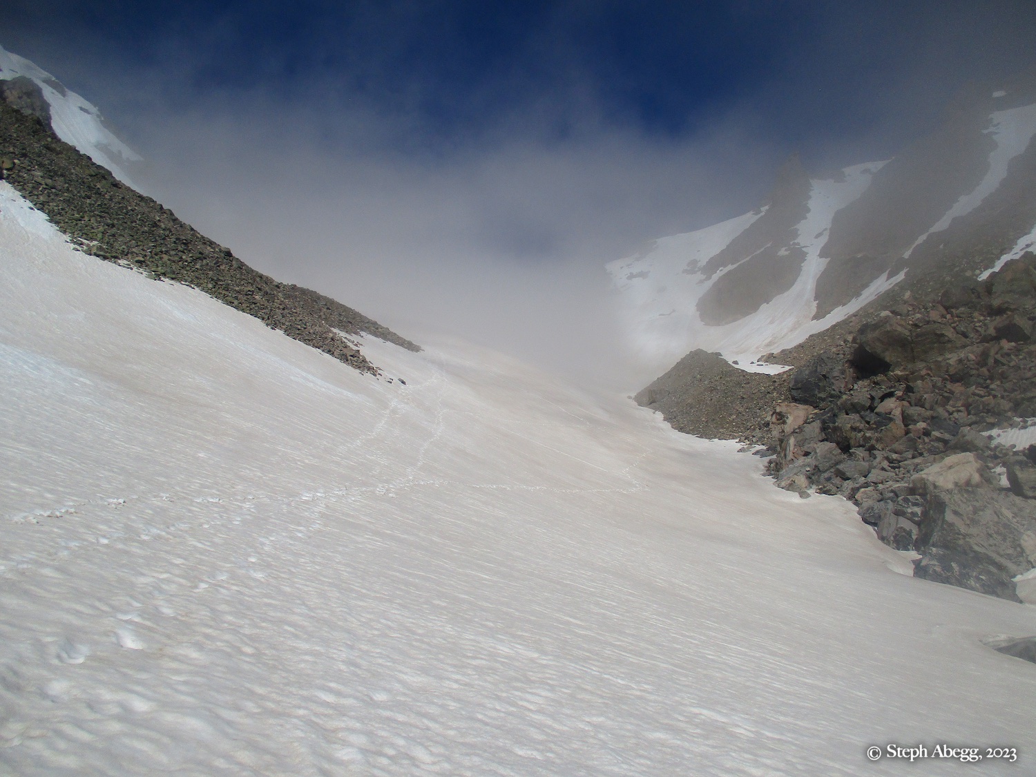
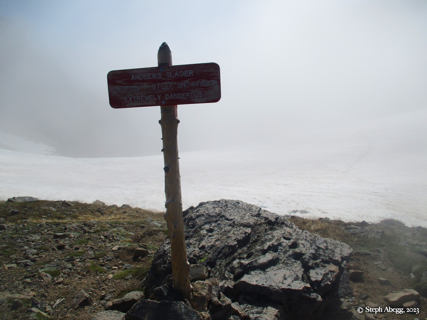
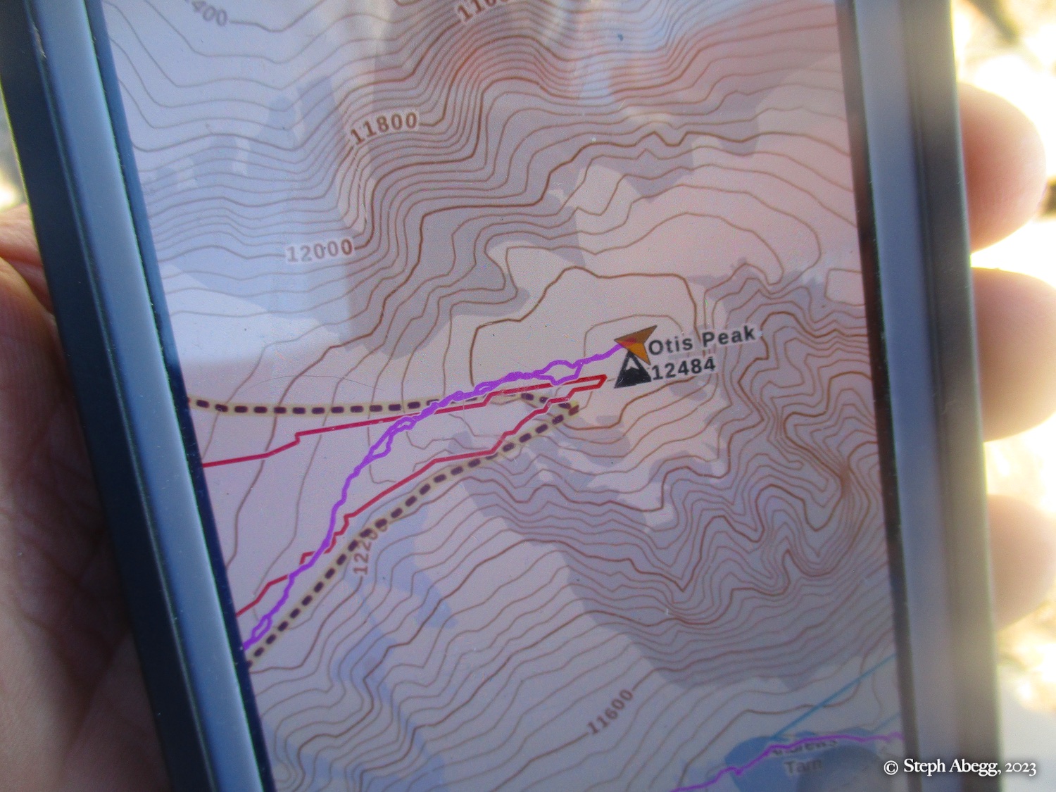
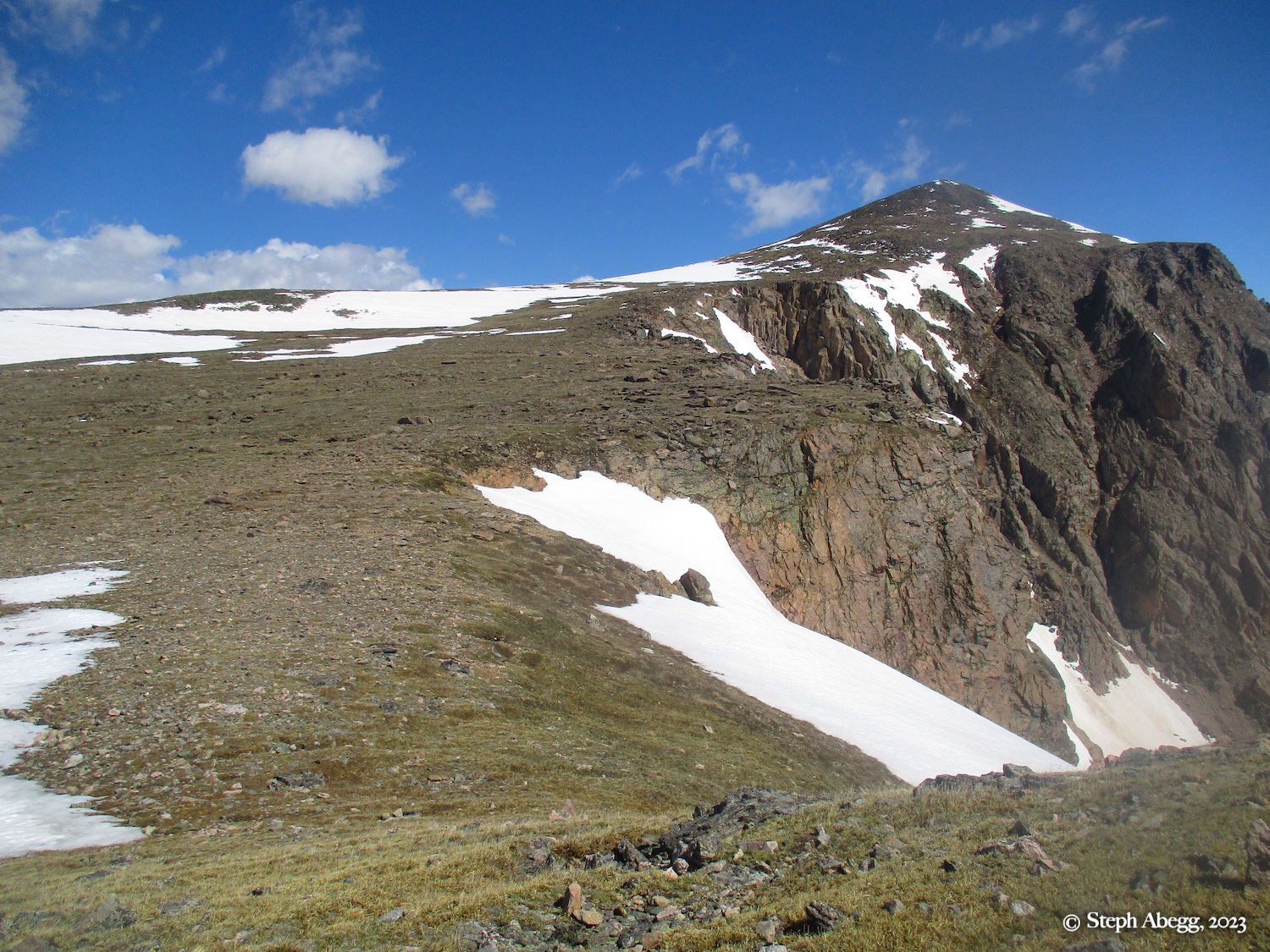
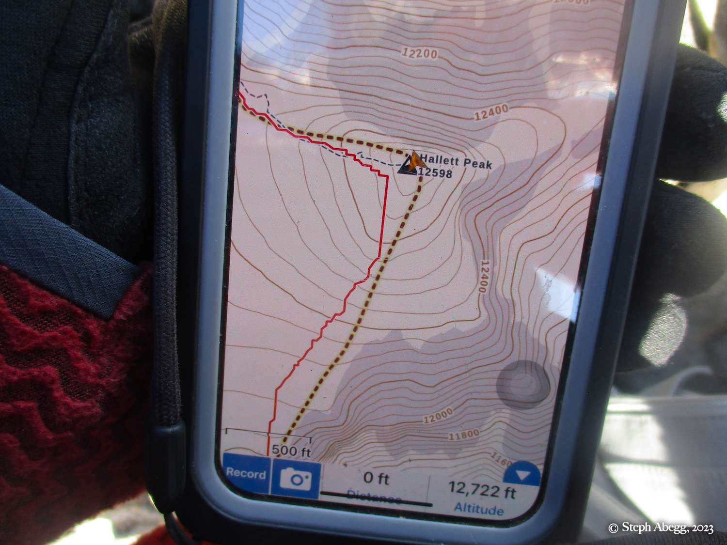
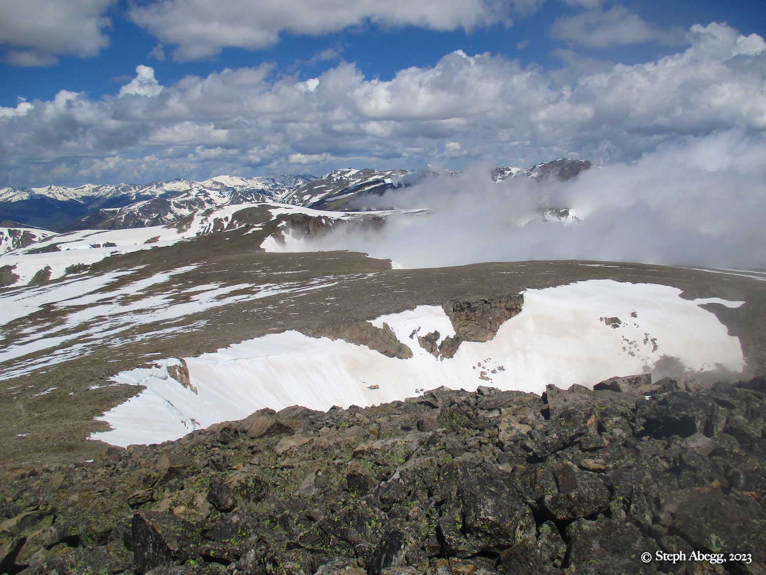
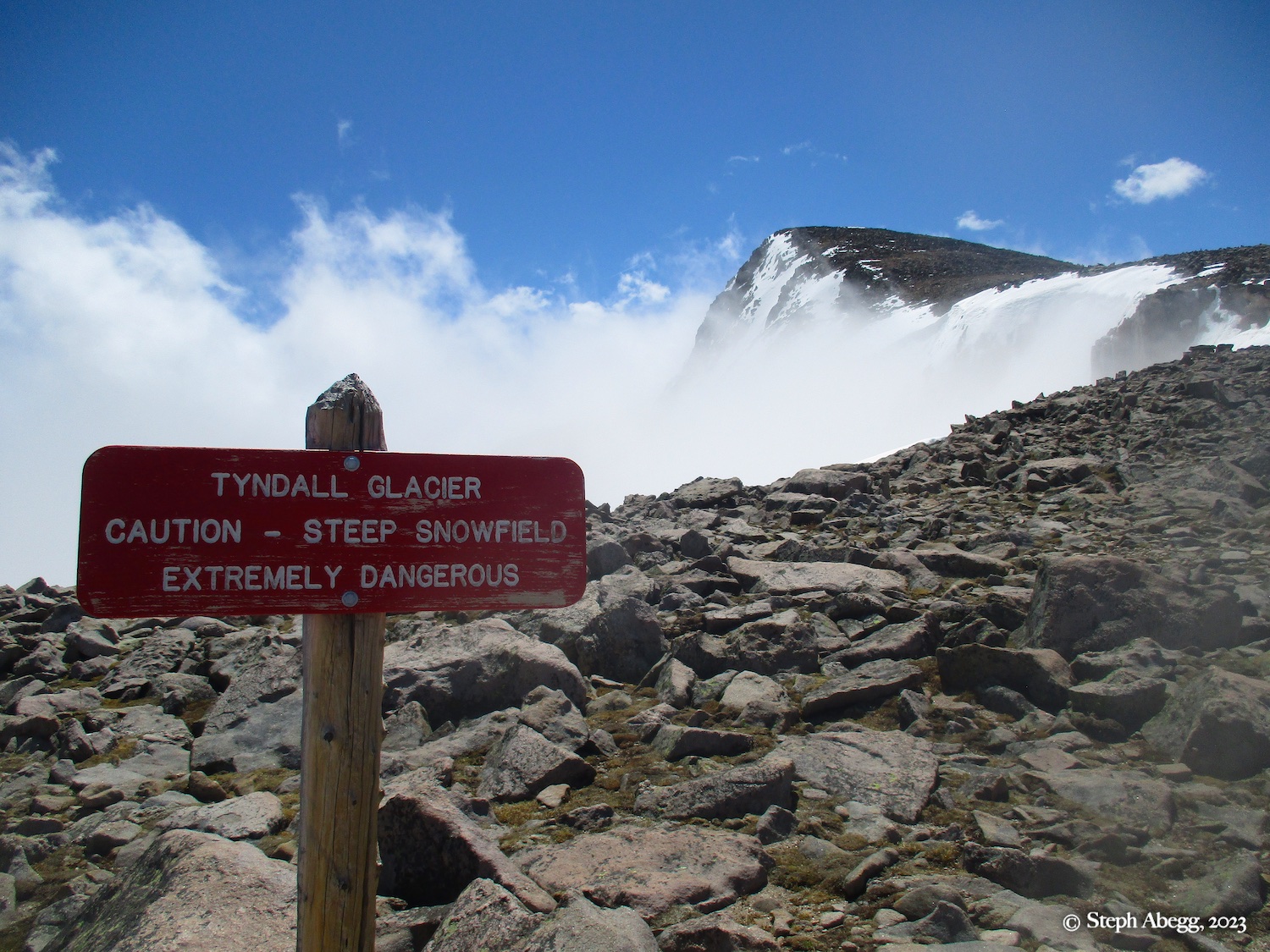
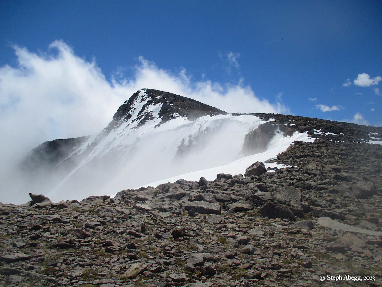
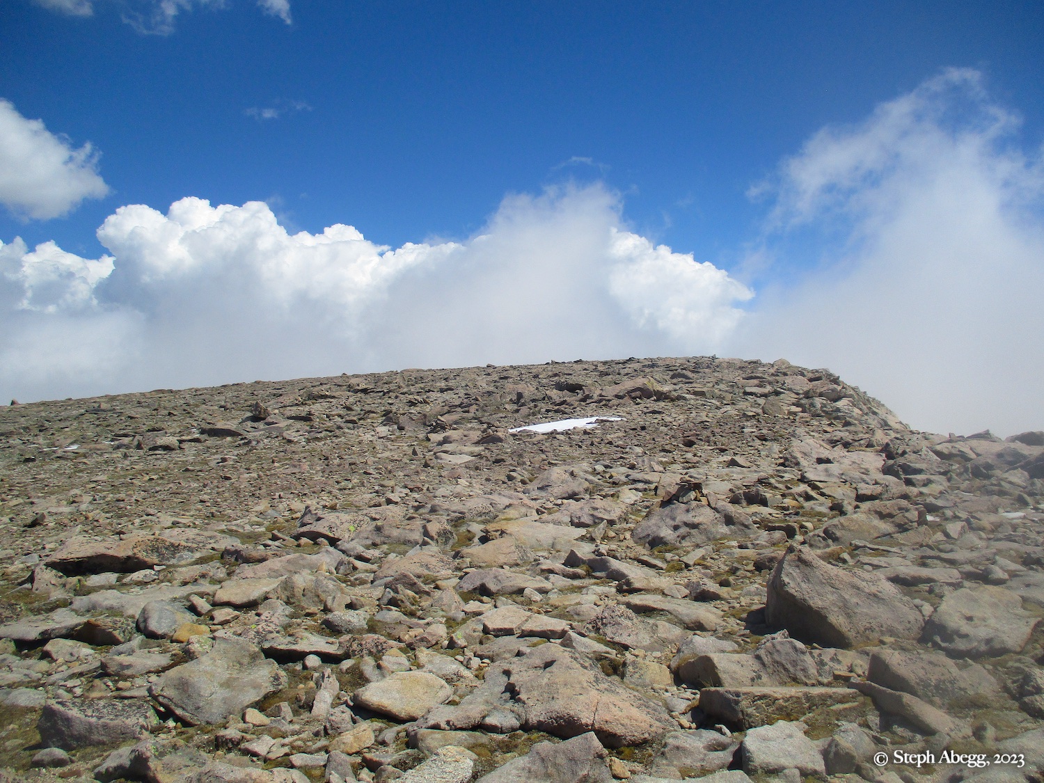
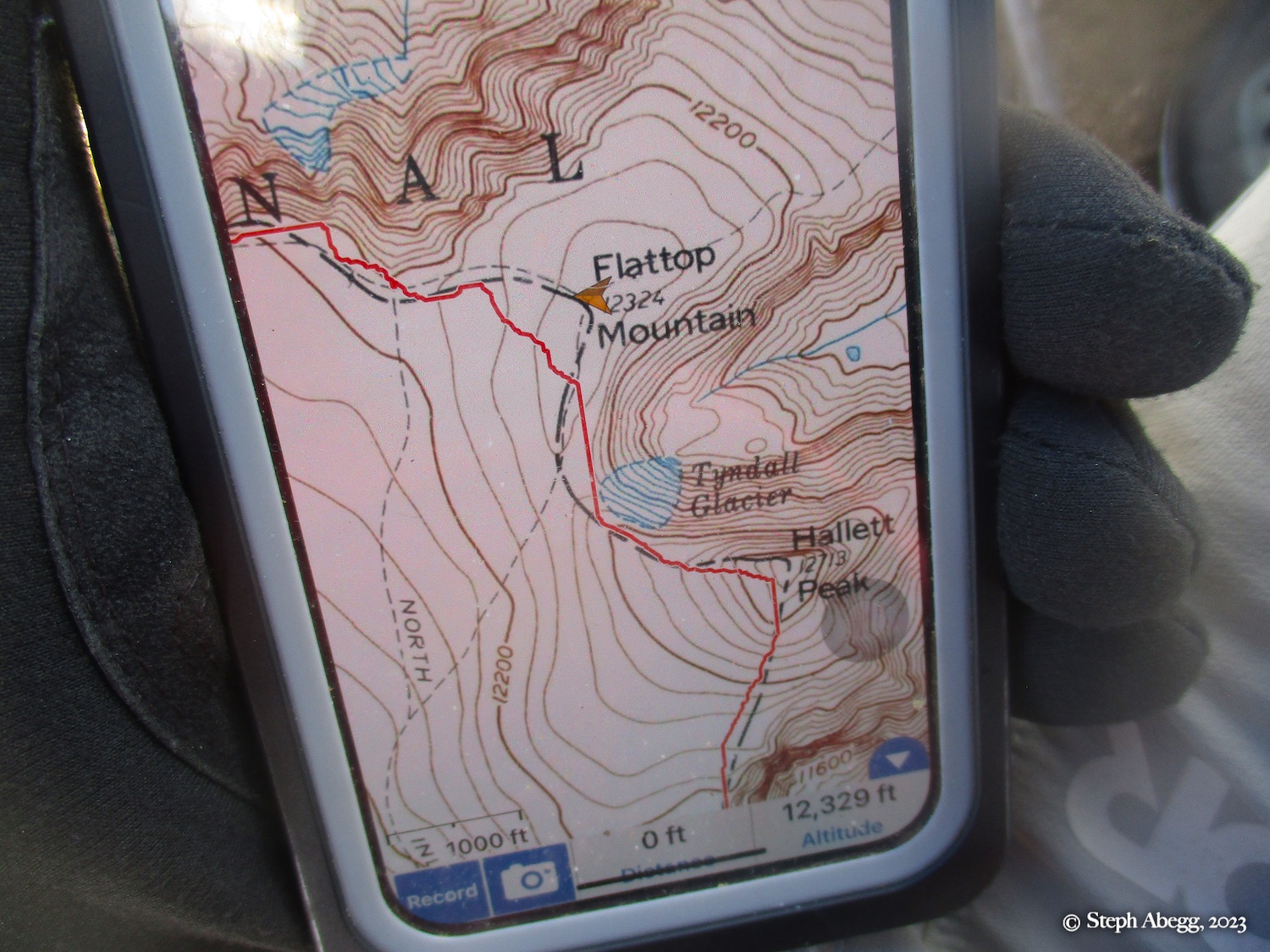
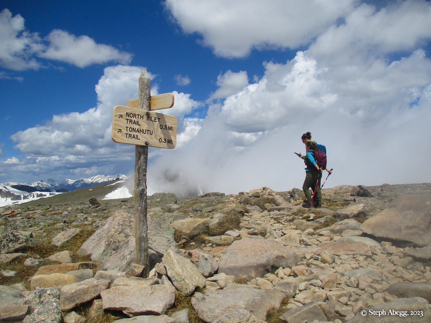
Hallett Peak via the Flattop trail. It seemed like a nice day out to link the two ends into a loop: Start at Bear Lake trailhead, hike past The Loch and Andrews Tarn and ascend Andrews Glacier to Andrews Pass, then tag Otis Peak, Hallett Peak, and Flattop Mountain, and romp down the Flattop Mountain trail down to the Bear Lake Trailhead. This loop would be about 12.1 miles and about 4000 feet of elevation gain and loss. The stretch from Andrews Pass to Flattop Peak is on the Continental Divide.
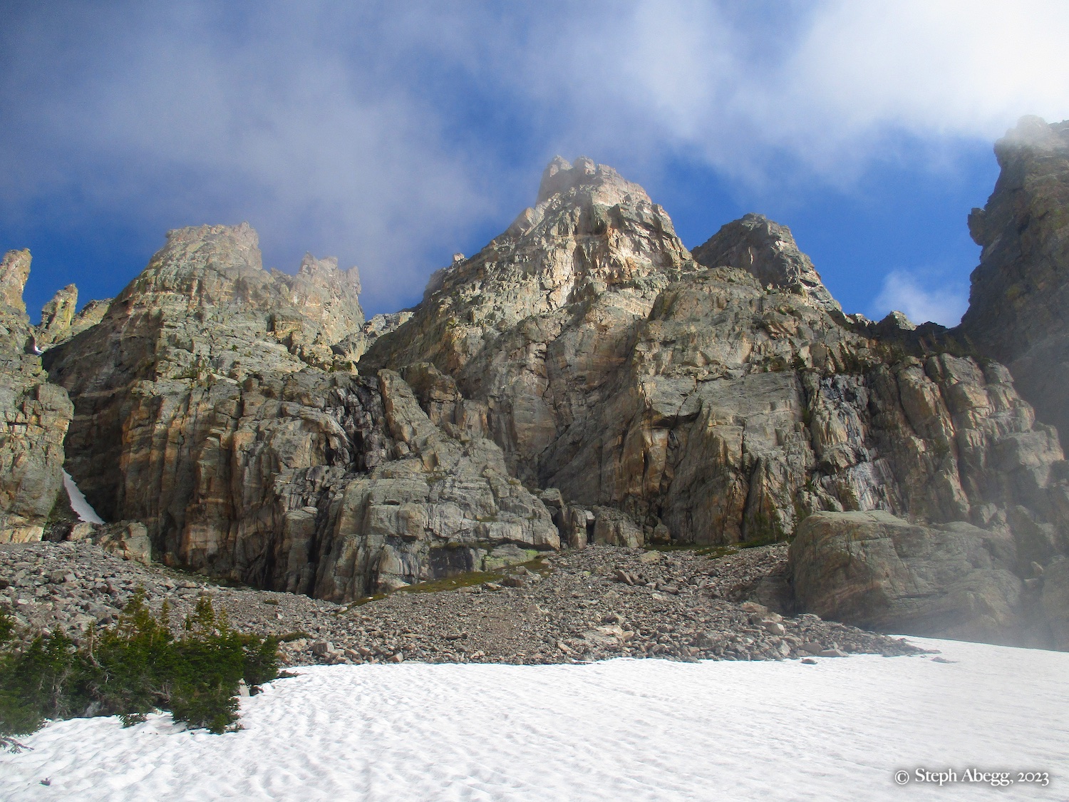
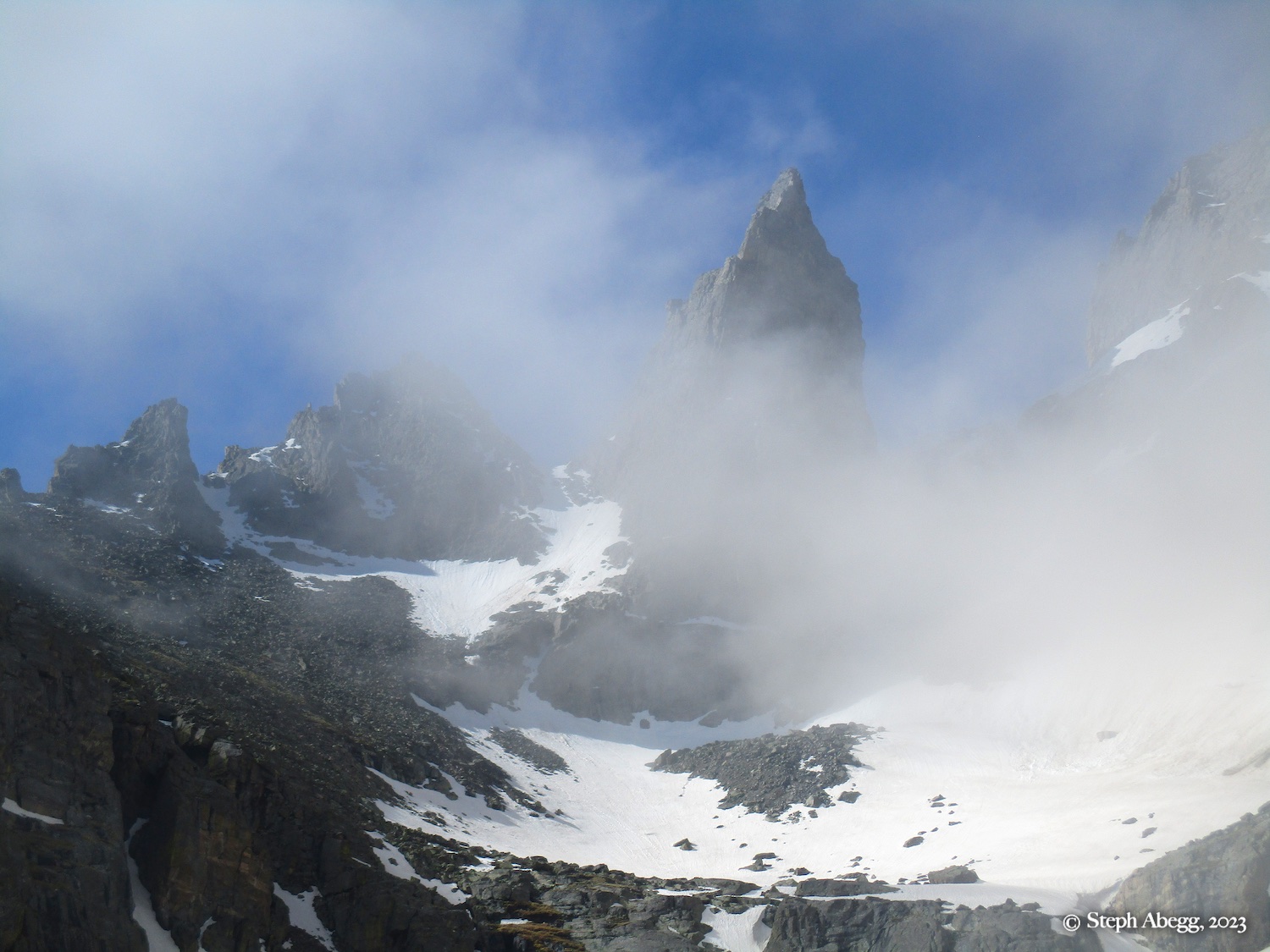
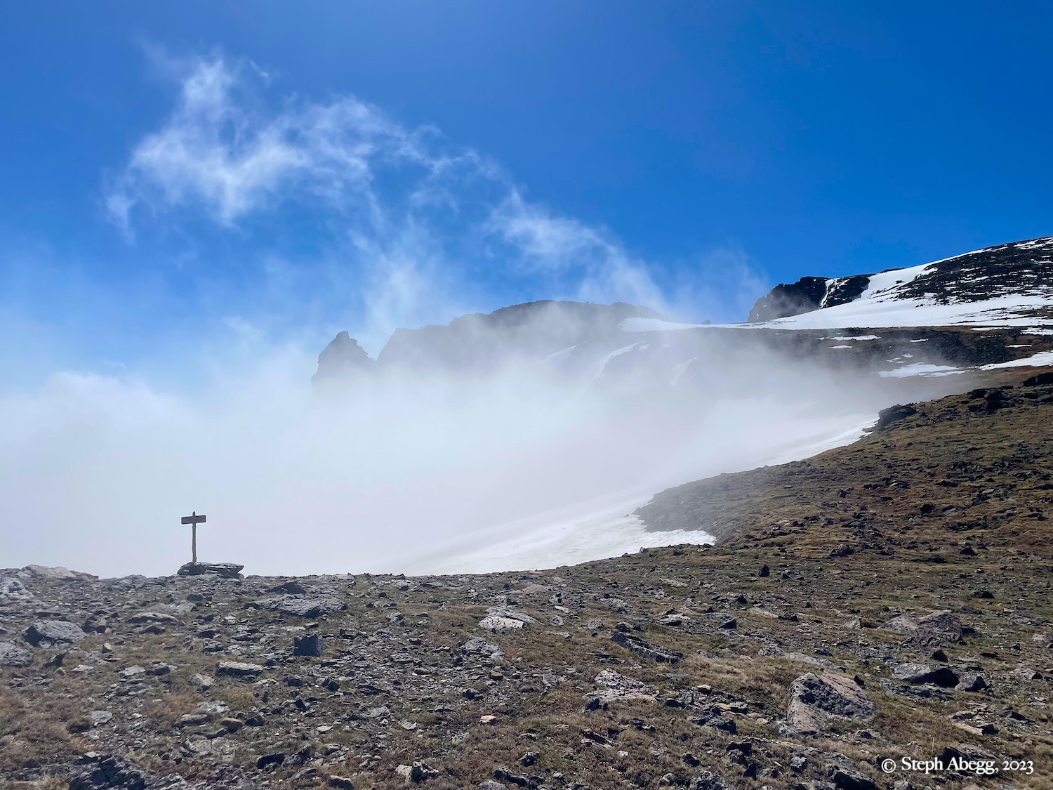
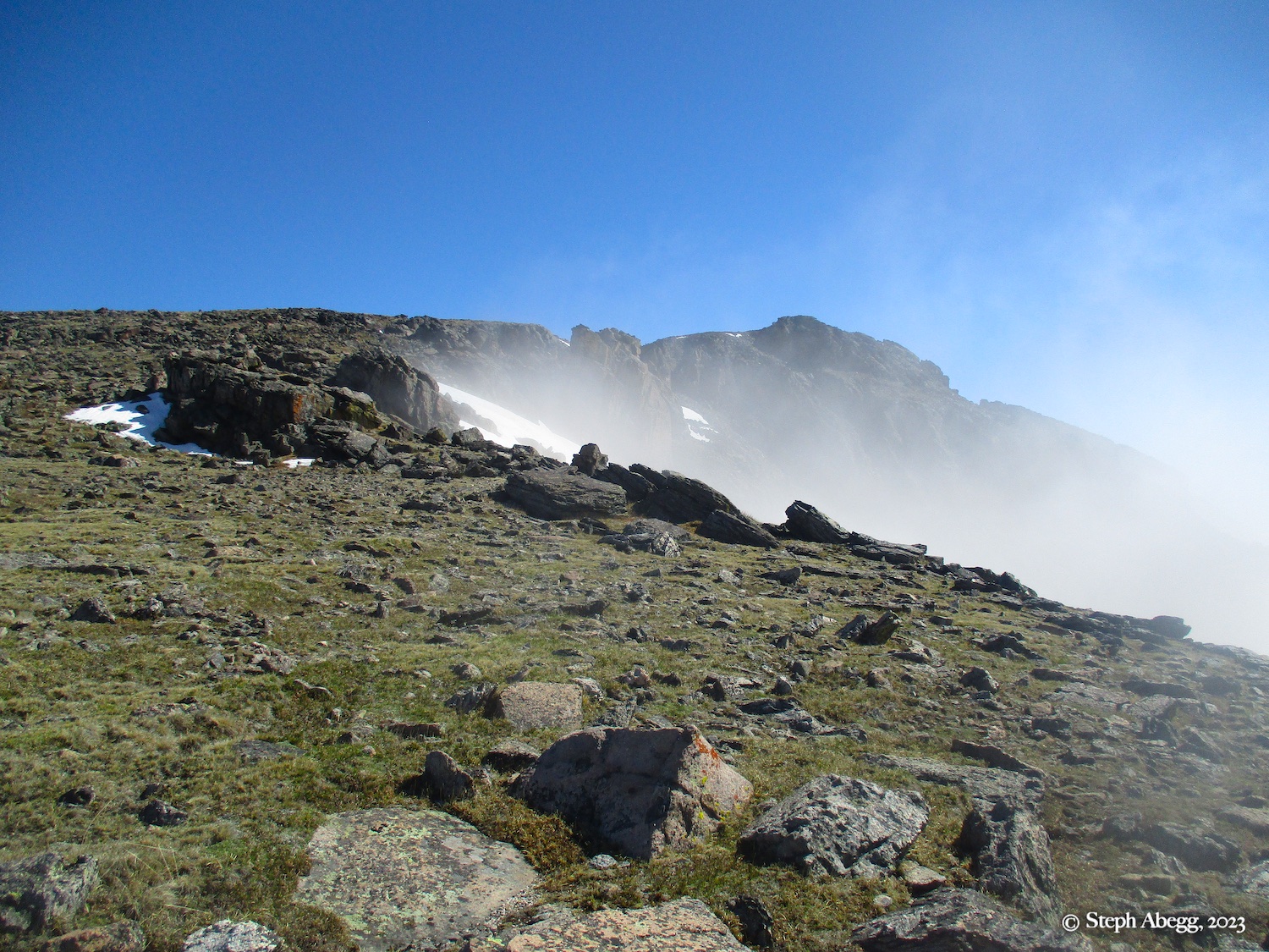
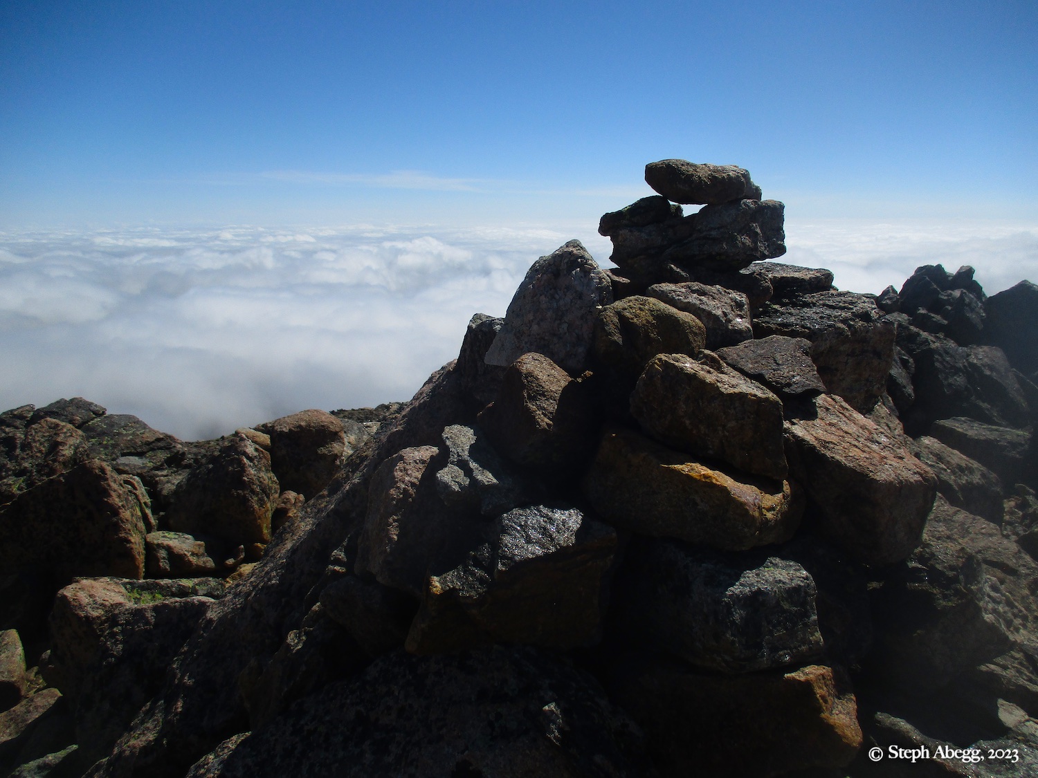
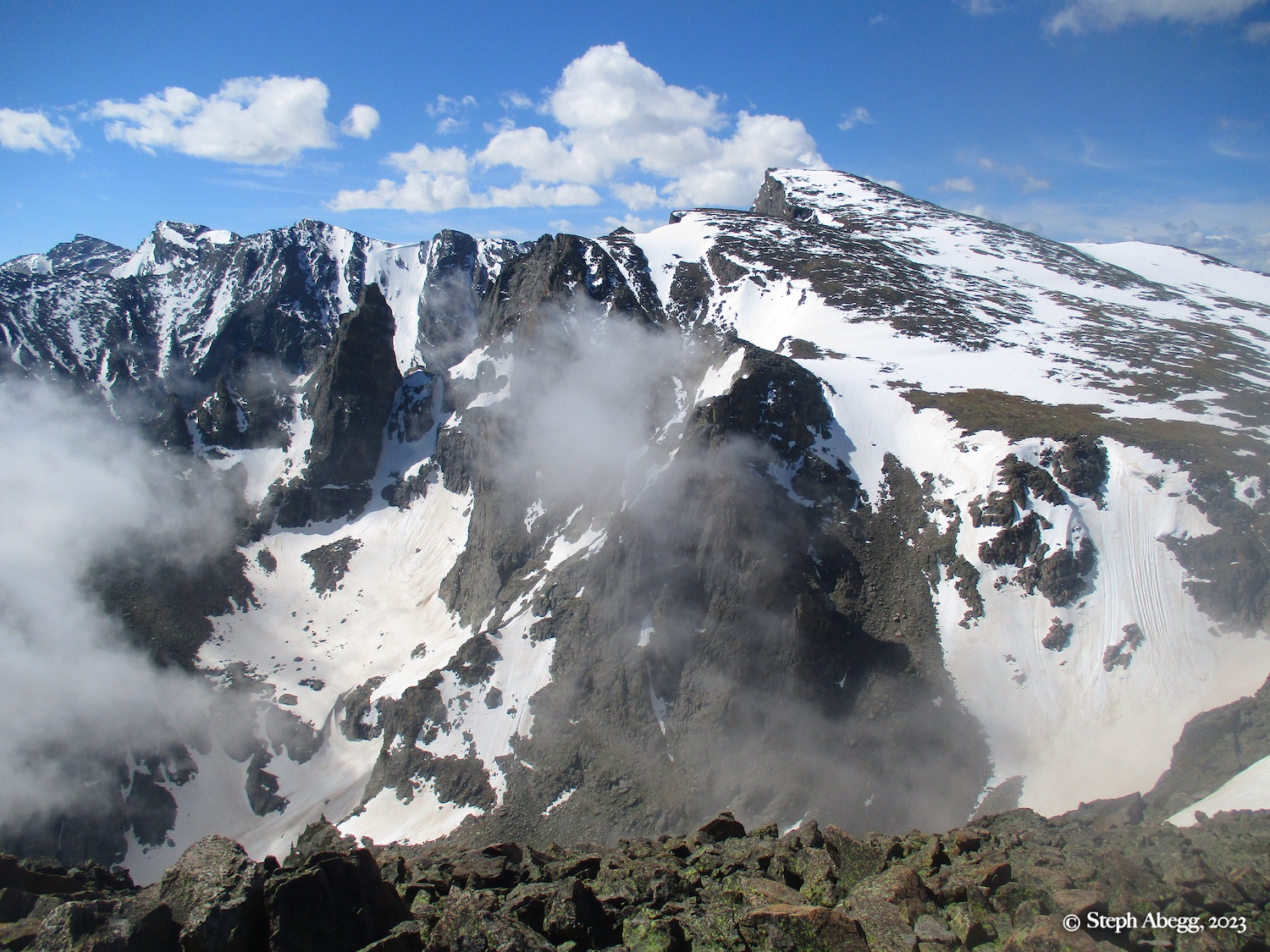
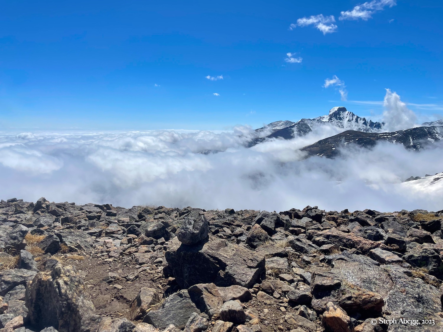
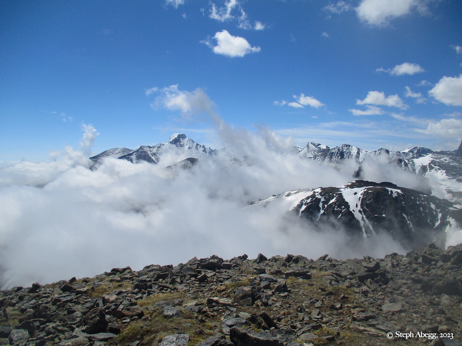
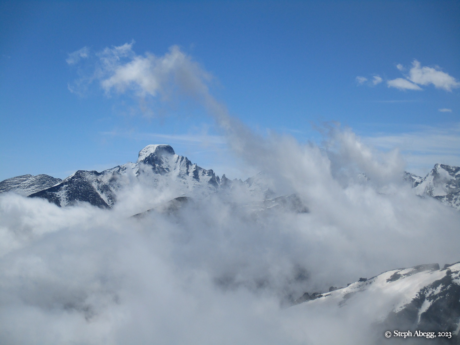
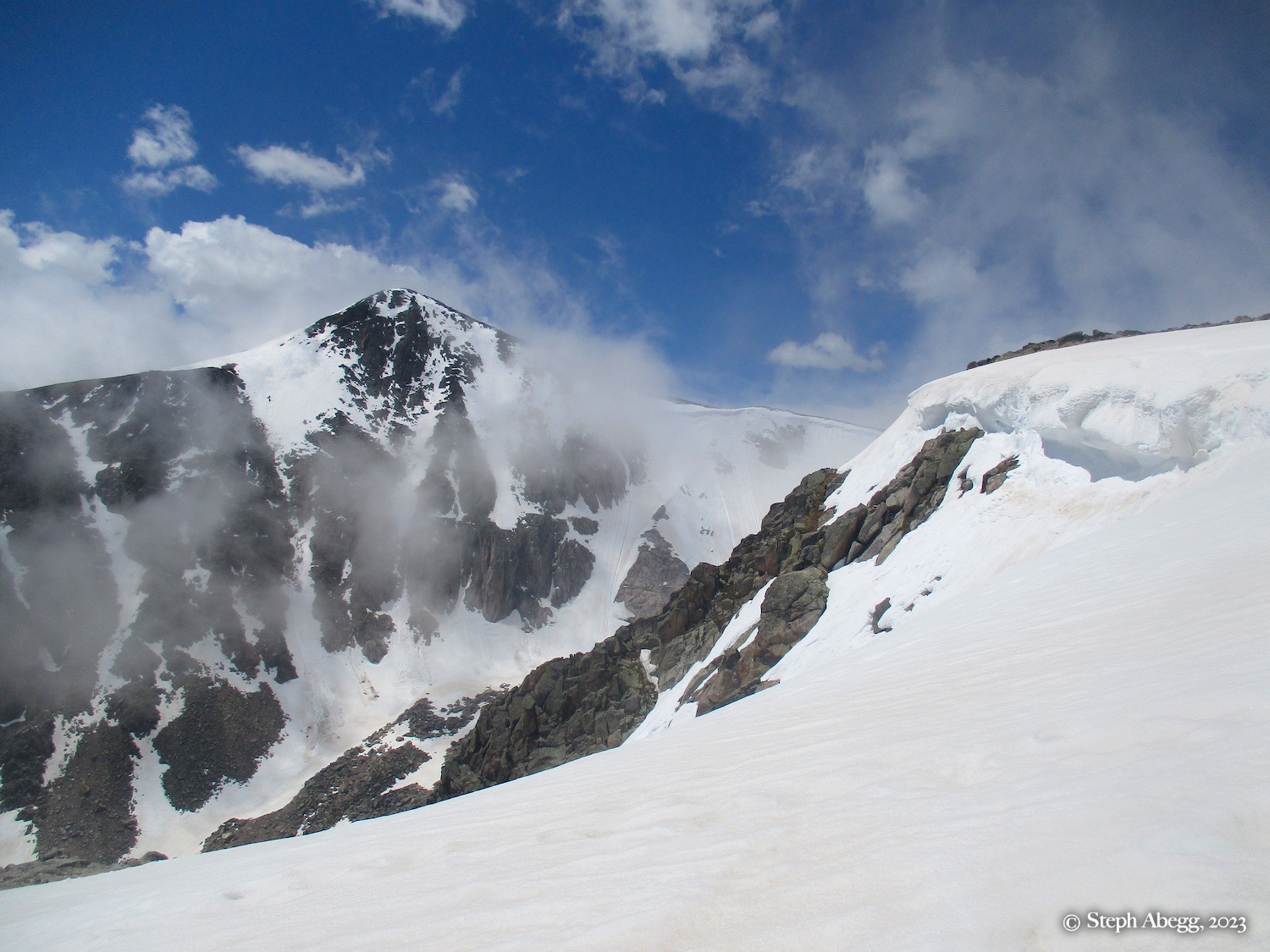
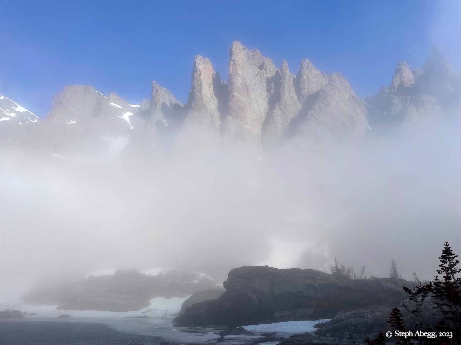
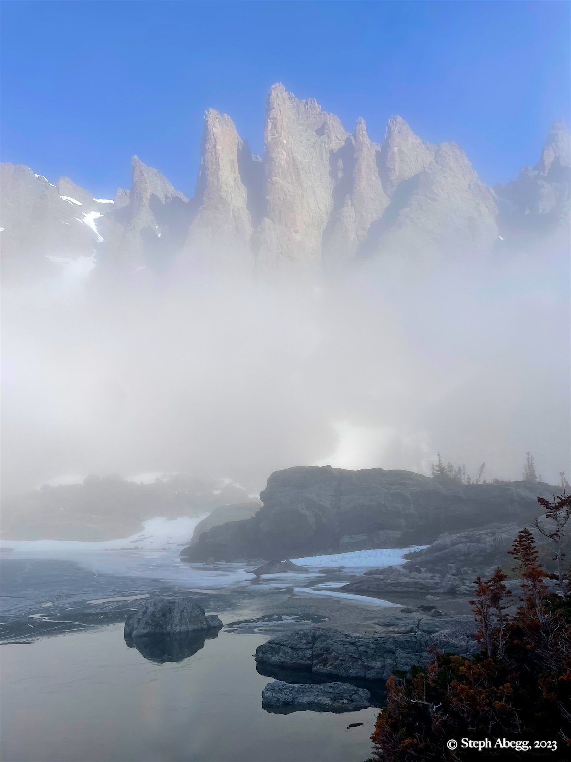
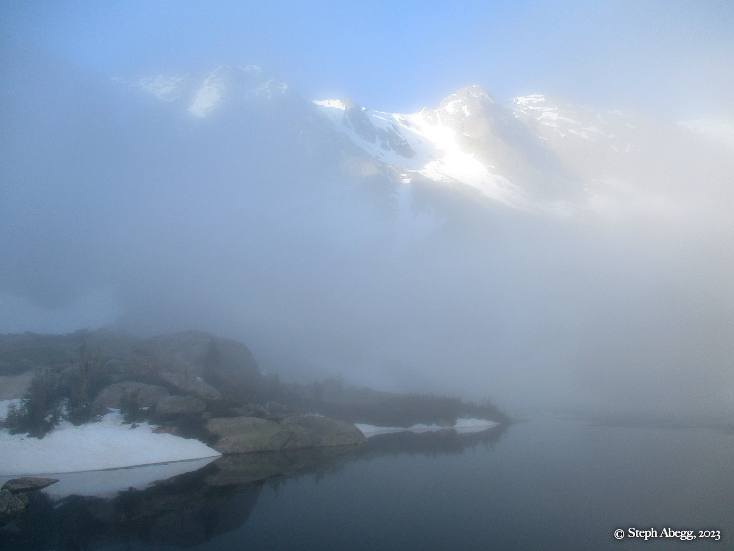
Weather or other weekend escapades keep delaying this adventure, and soon it was late spring. Ironically, the Otis-Hallett-Flattop Loop ended up happening by accident. The weather forecast for the day was rather abysmal, but I decided to do an early morning hike to Sky Pond to get some exercise and check out the conditions. But the weather improved as I was heading down, so I decided to head up into Andrews Creek to enjoy the weather window while it lasted. And it kept lasting and I kept going. When I reached the Continental Divide at the top of Andrews Glacier, I was happily surprised to see sunny skies all around, with the clouds now below me. There was only a light breeze, somewhat unusual since the Divide is often quite windy. So I decided to head north along the Divide and tag Otis, Hallett, and Flattop as I went. With the spectacular cloud movement and comfortable conditions, NOAA's "90% chance of rain" day was a glorious day for this adventure.
My round trip time for just the Otis-Hallett-Flattop Loop was approximately 6 hours. My side trip to Sky Pond took an extra 2 hours (I hung out at the lake for some time waiting for the clouds to break open and give some views).
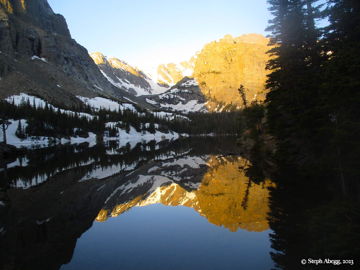
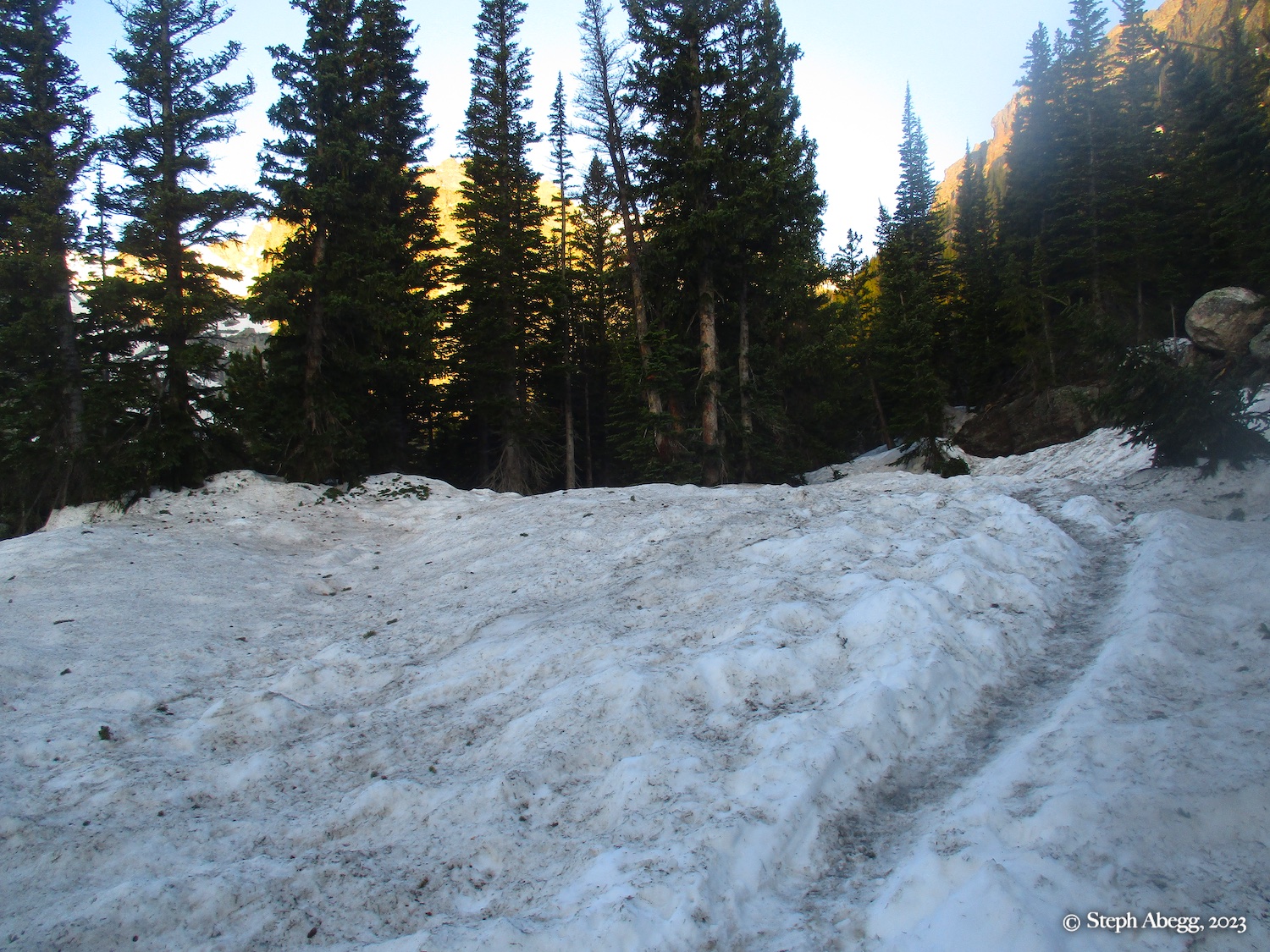
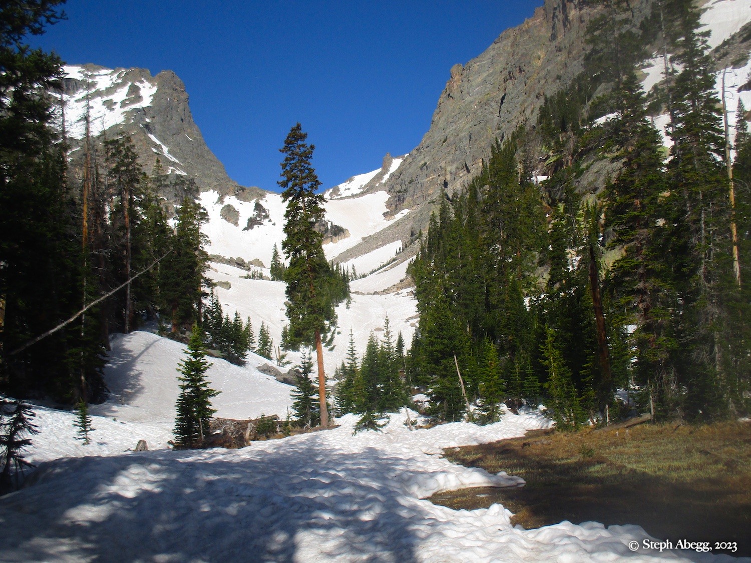
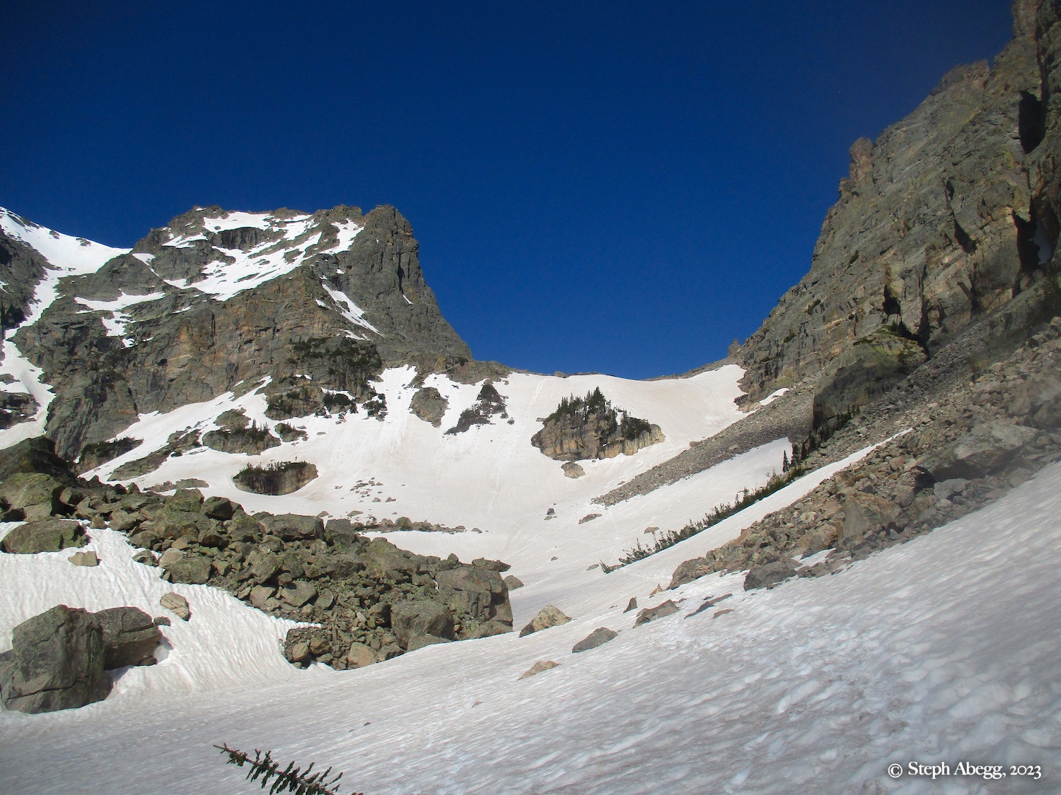
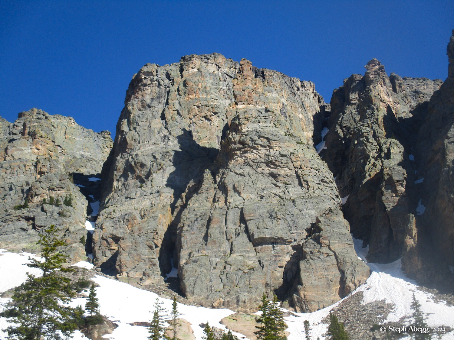
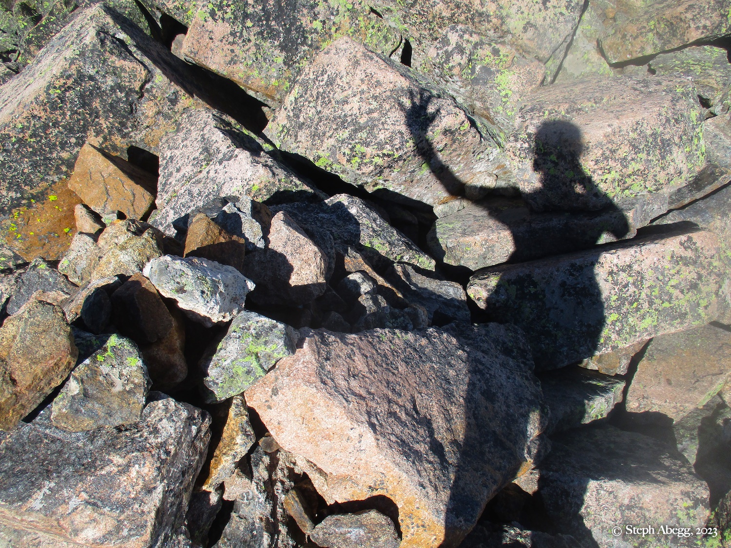
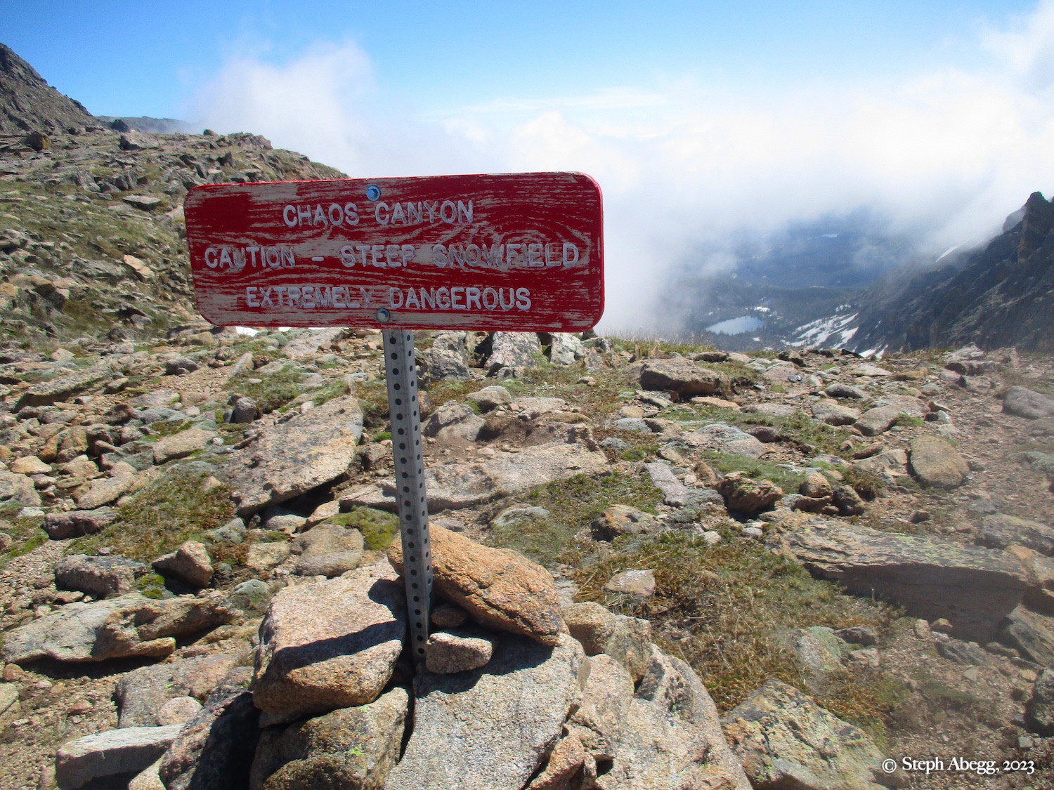
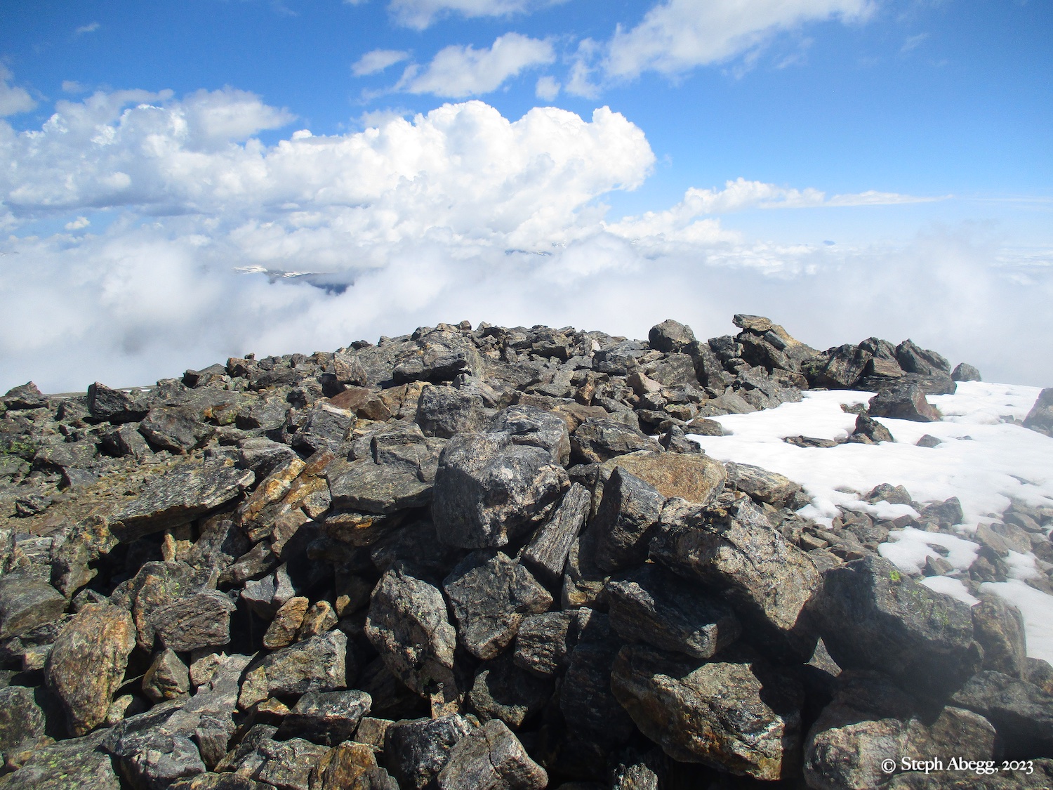
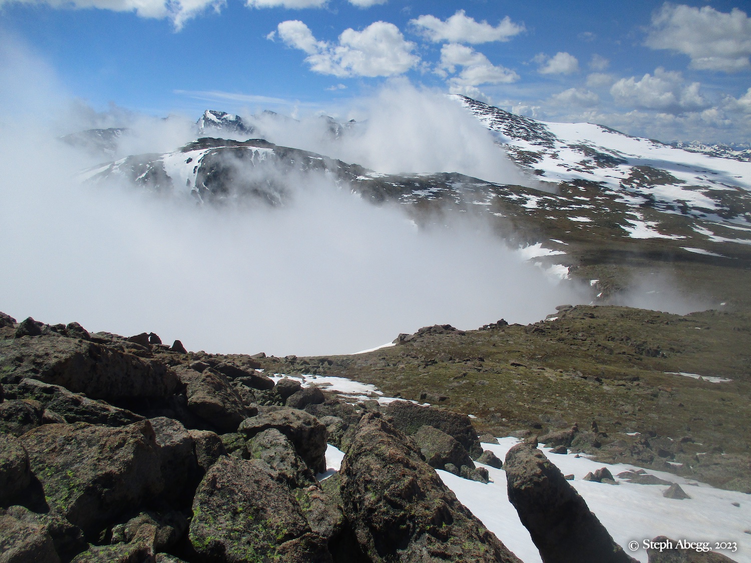
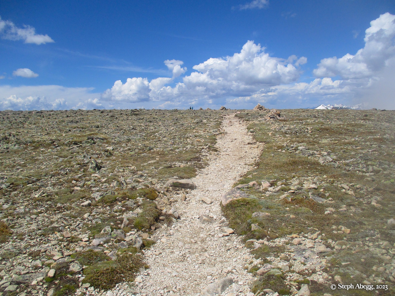
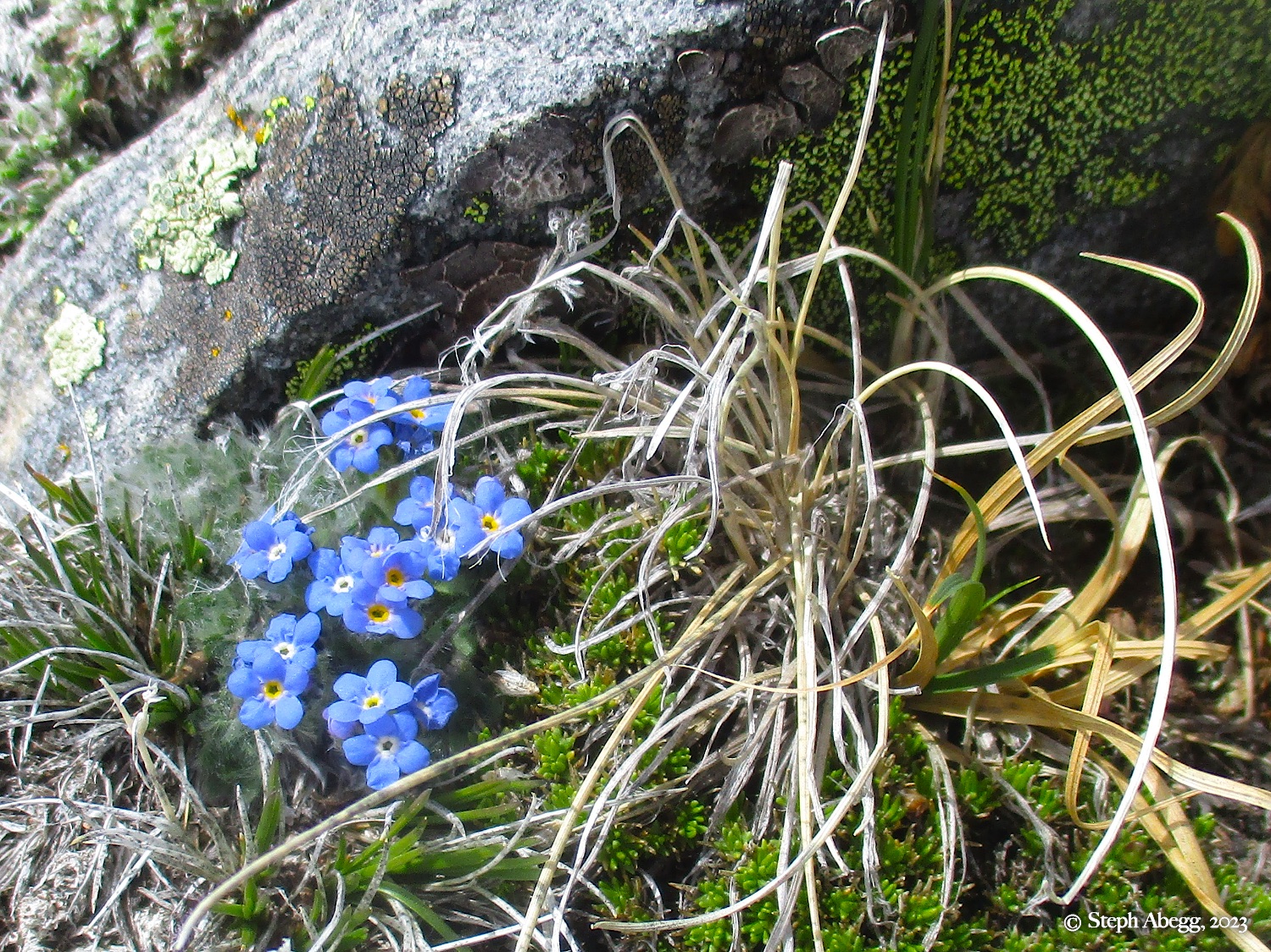
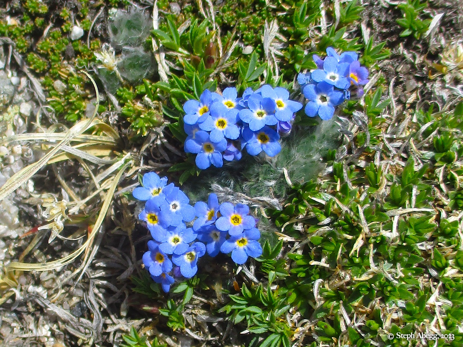
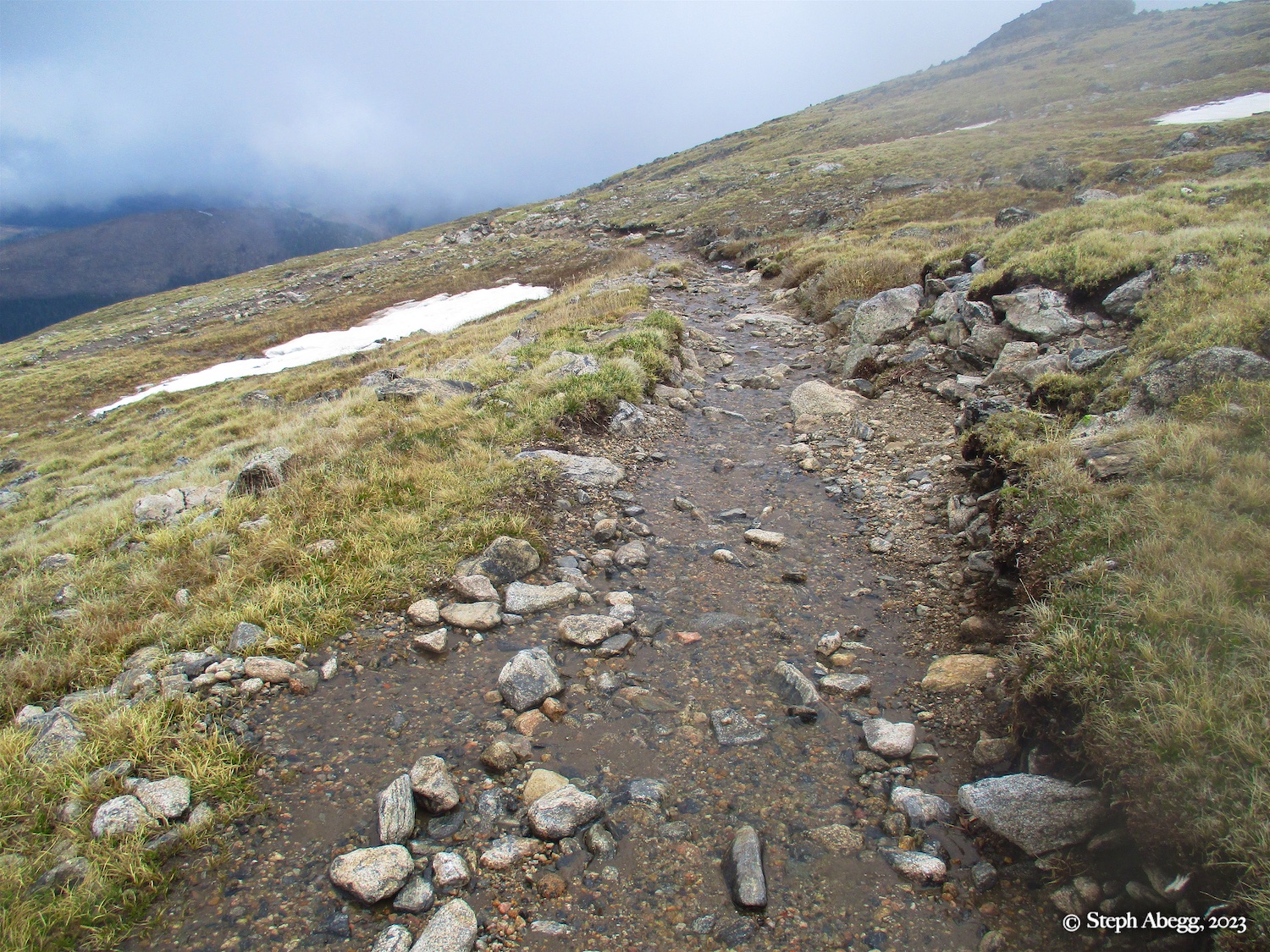
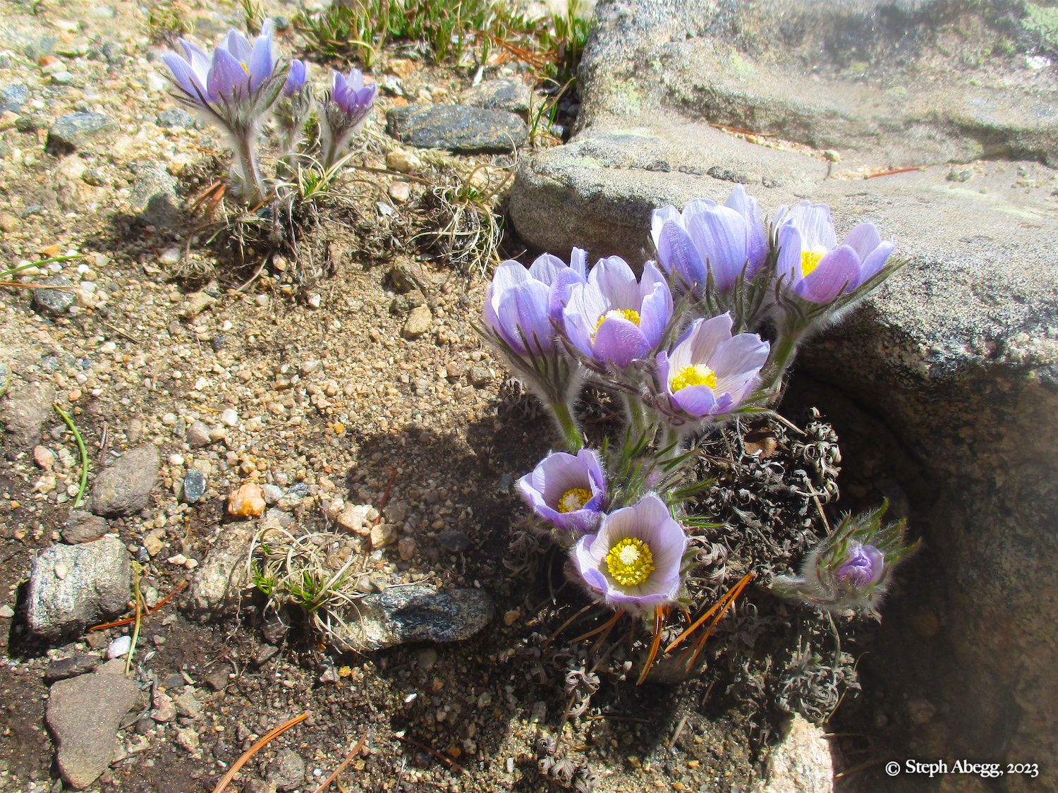
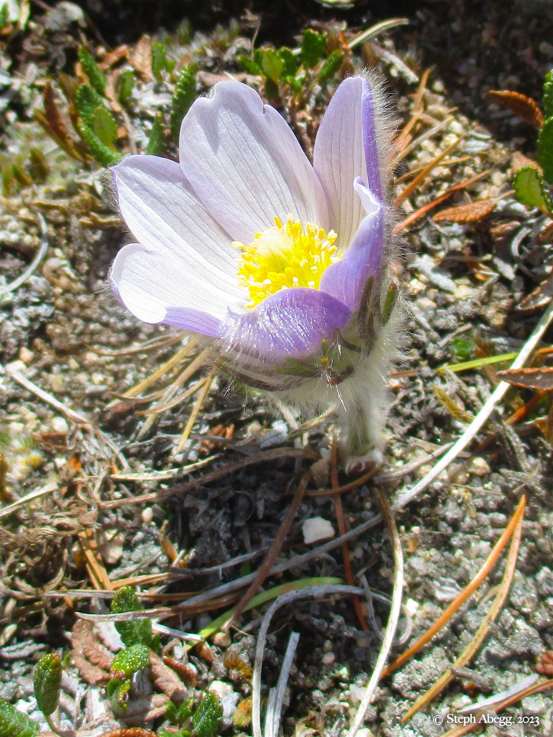
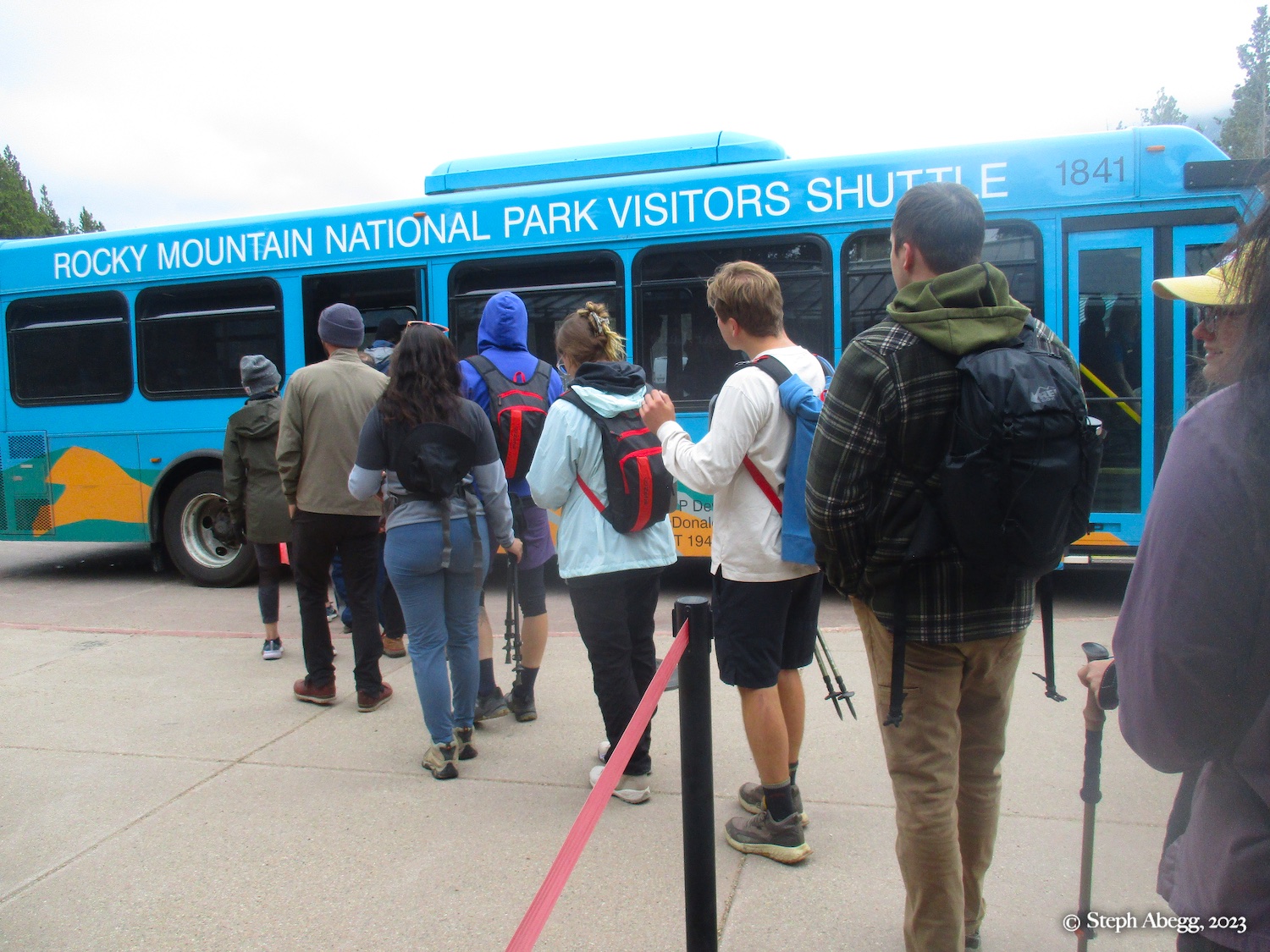
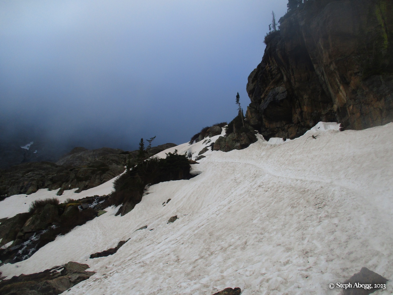
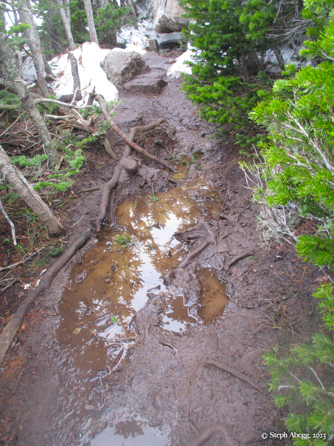
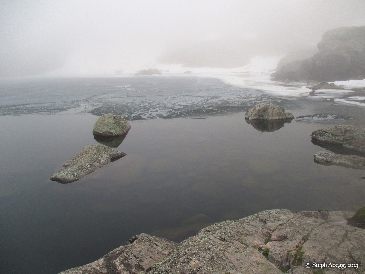
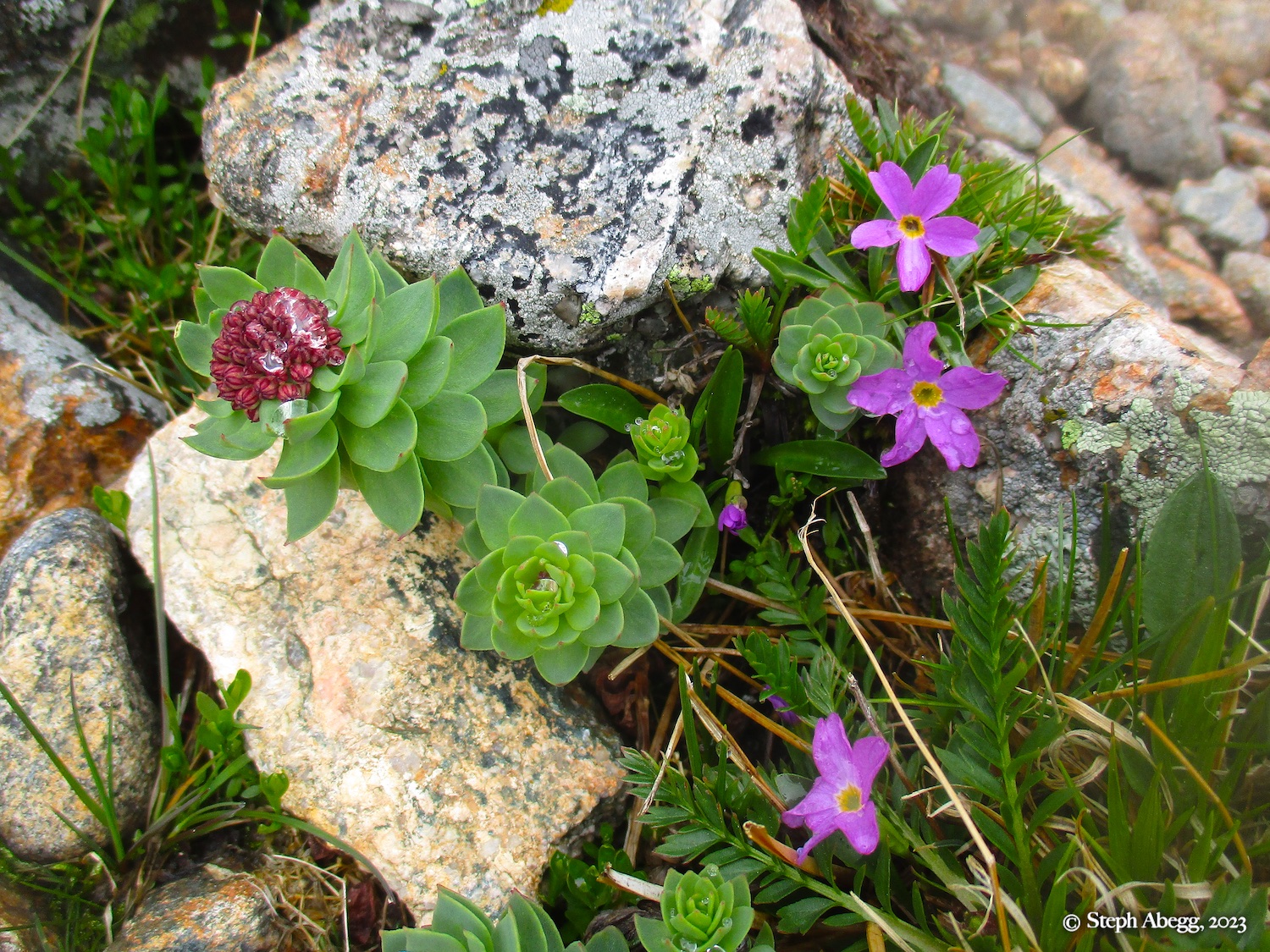
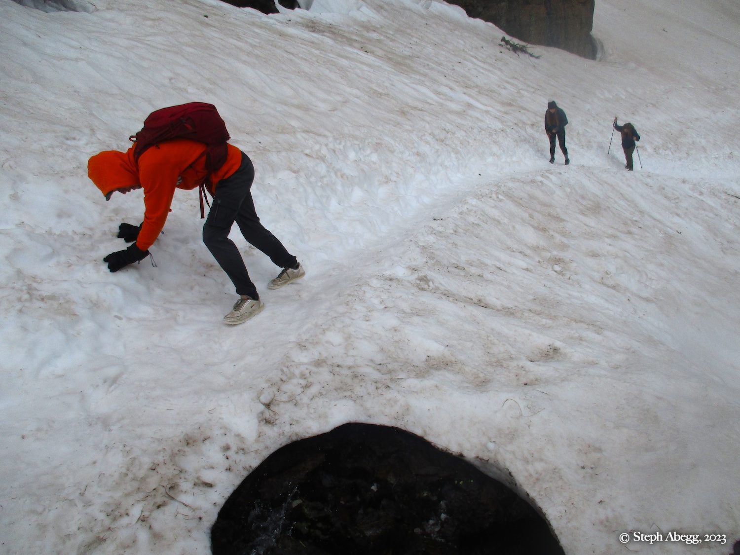
Below is a map of the loop and photos from the adventure.