Pagoda Mountain, Crescent Ridge (aka South Ridge) (5.6, ~15 miles round trip)

Pagoda Mountain

Route:

Crescent Ridge (aka South Ridge)

5.6, ~15 miles round trip

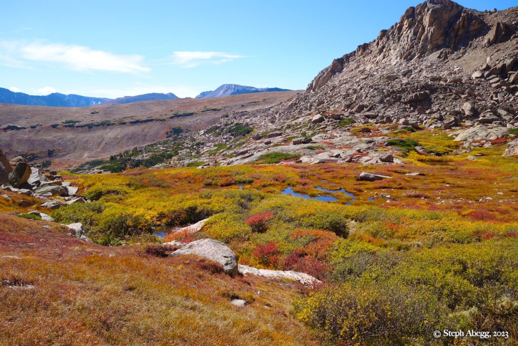
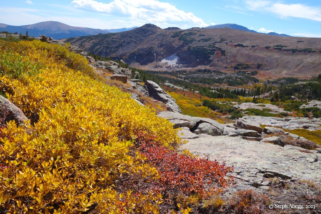
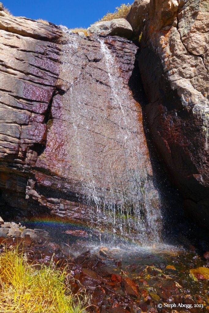
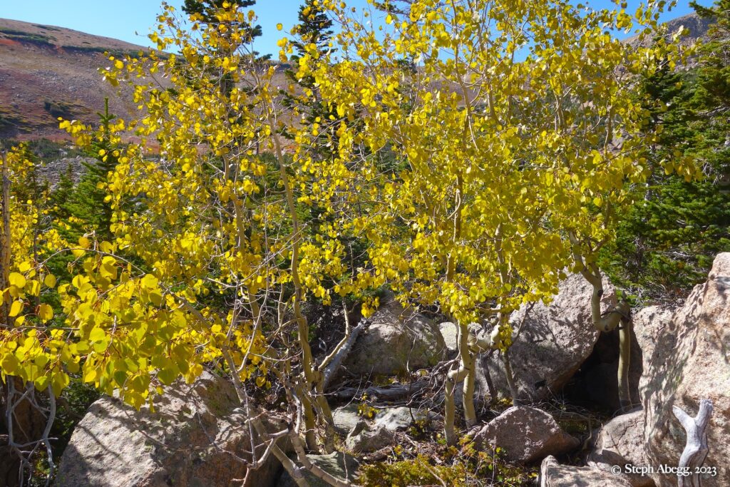
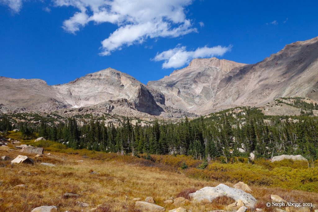
A goregous fall day in the mountains.

Region: Colorado
Elev: 13,497 ft
Rock type: Granite
Type: 
Date(s): September 28, 2023 (Thu)
Partner(s): Anthony Meyer

Route Overlay

CLICK TO ENLARGE

Intro

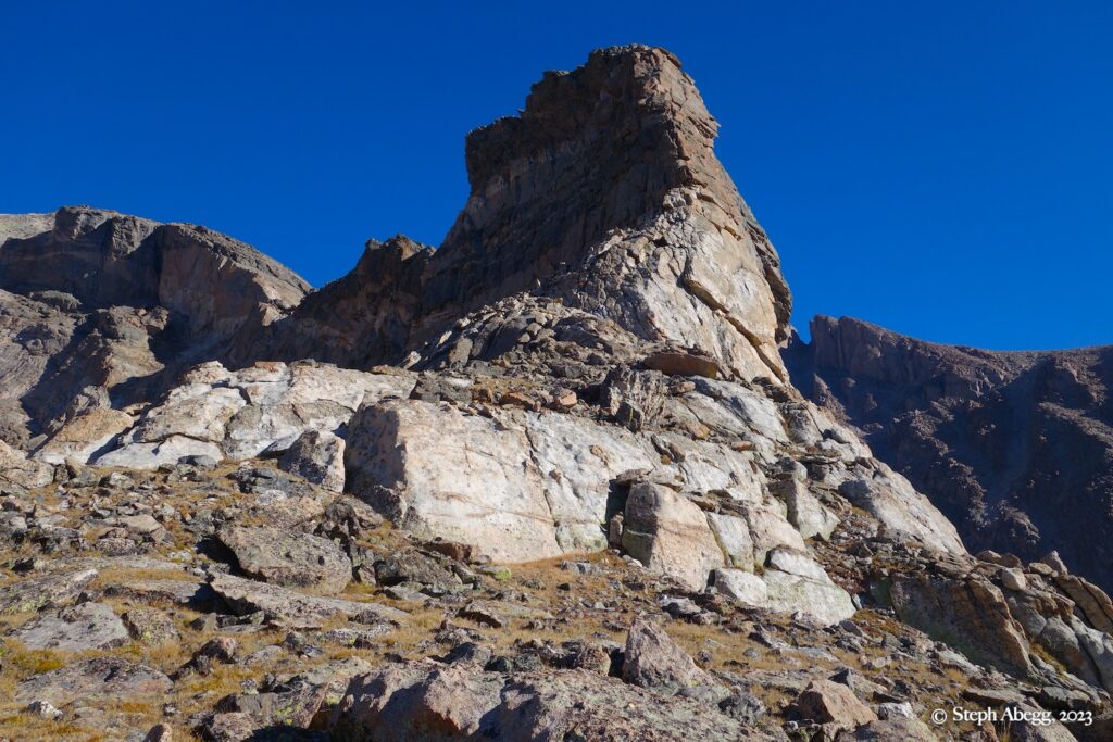
Pagoda Mountain is the 7th highest summit in RMNP. The summit can be accessed from multiple directions: from the north via Glacier Gorge (the route to do from this direction is the North Buttress (5.7, 6p)); from the east and west via the Chiefs Head to Longs Peak ridge (I had crossed over the summit this way twice, on the Walk in the Park / The Great Wheel—a one-day traverse that circles Glacier Gorge—and the Estes Skyline High Route—when Nate and I traversed the entire skyline of RMNP in three days), and from the south via Wild Basin. The best route out of Wild Basin is the sweeping Crescent Ridge. Also known as South Ridge and The Scythe, Crescent Ridge climbs an aesthetic ridgeline from Keplingler Lake all the way to the summit of Pagoda, on high-quality granite and involving a few pitches of 5.5-5.6 along the way. The approach is rather long: 6.5 miles to the base of the route, half of which is cross-country. The Crescent Ridge sounded like a fun day of exercise in the mountains, with a little climbing, a little scrambling, a summit, and several miles of goregous views. So I put it on my list.

After a cool and wet summer, the fall of 2023 arrived with a stretch of indigenous peoples summer days. Anthony Meyer—my dad had been his advisor when he was doing is graduate studies at Trinity Western, and we had conversed about climbing together for several years but never made it happen—was in the area. I was able to take one day off of work to join him on a mountain advenutre in RMNP. I proposed the Crescent Ridge of Pagoda. Anthony was on board.

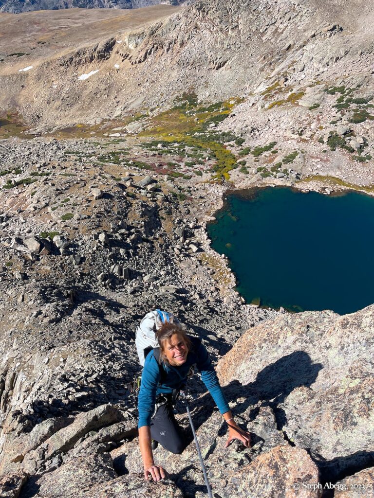
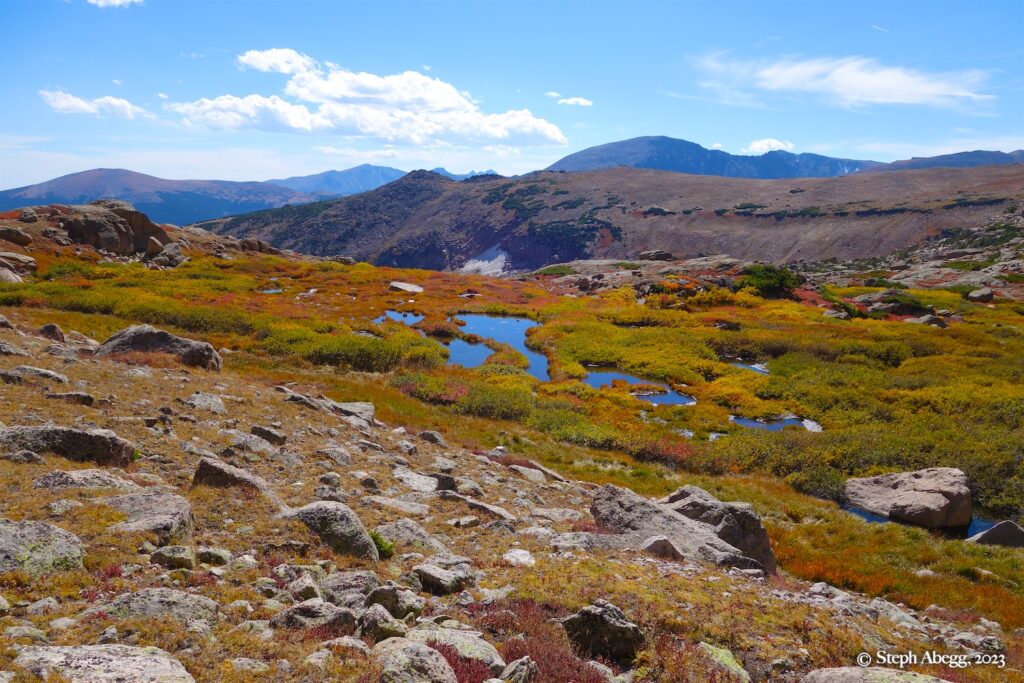
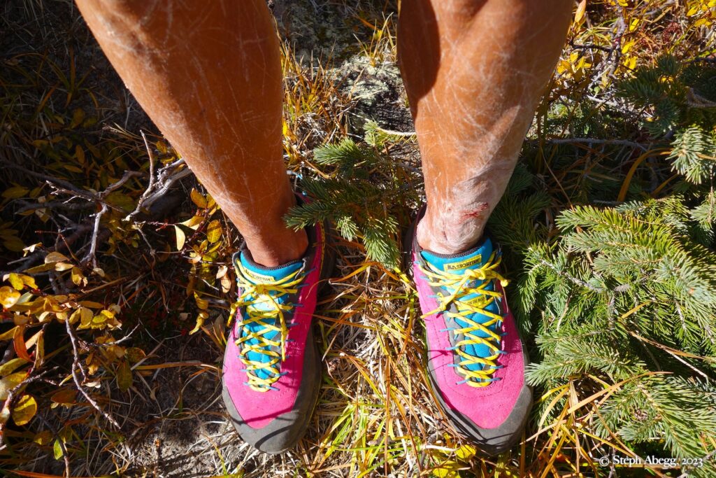
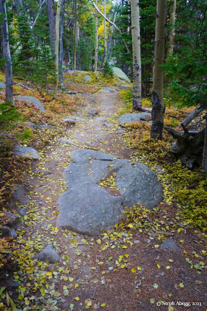
We left the trailhead just after 5 am. There was an inversion going on, so we started out in balmy 60°F temperatures and the temperatures dropped to mid-40's during the hike up. Once the sun came out the temperatures were downright pleasant for the rest of the day. I even wore shorts. The golds and reds of the early fall colors made it a truely spectacular time to be in the area. The climb was a blast.

The adventure took us 12 hours 43 minutes hours car-to-car. I love long days of movement in the mountains.

The followng page gives a trip report for our early-fall car-to-car of Crescent Ridge on Pagoda. Thanks Anthony for the enjoyable company!

Time Stats

Times
Leave Trailhead: 5:10 am
Sandbeach Lake: 6:59 am
Base of Crescent Ridge: 9:15-9:34 am
Pagoda summit: 11:50-12:40 am
Sandbeach Lake: 3:45-4:11 pm
Trailhead: 5:53 pm
Splits
Trailhead to Sandbeach Lake: 1:49
Sandbeach Lake to base of Crescent Ridge: 2:16
Base of Crescent Ridge to Pagoda summit: 2:16
Pagoda summit to Sandbeach Lake: 3:05
Sandbeach Lake to Trailhead: 1:42
Total car-to-car (includes breaks): 12:43

Photos

Approach

2nd
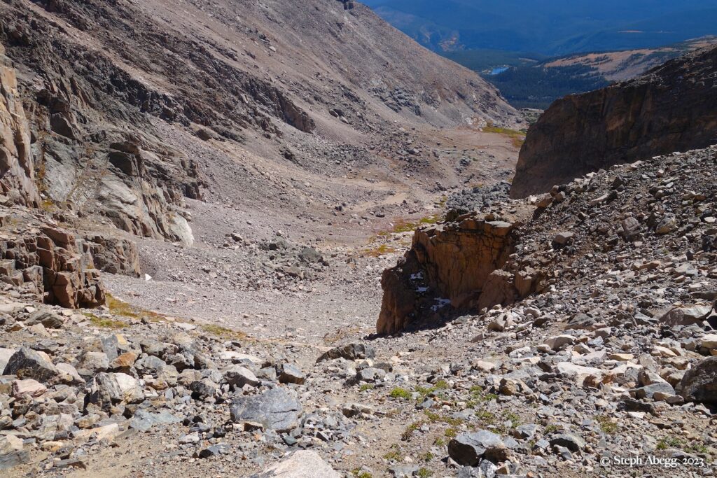
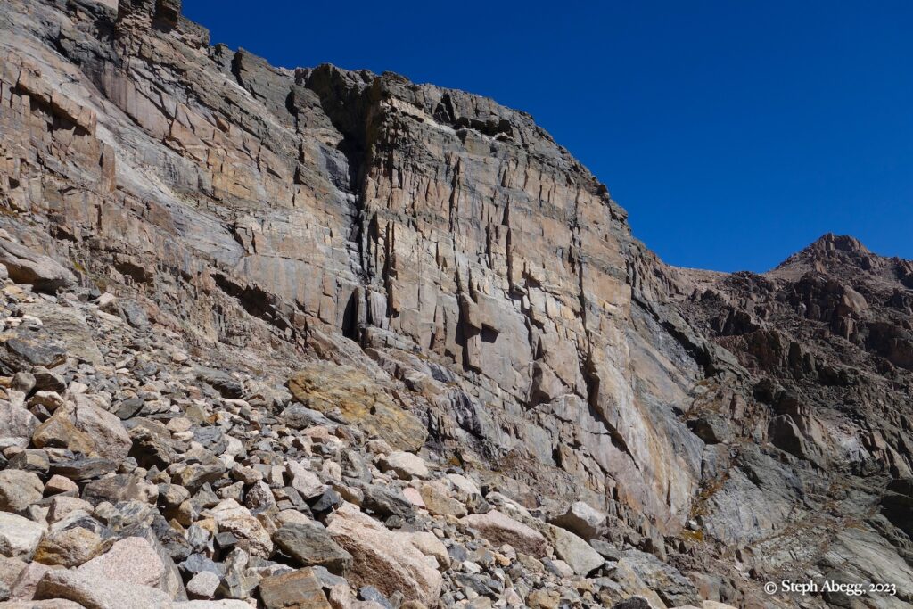
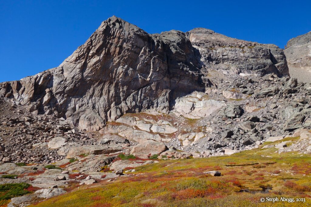
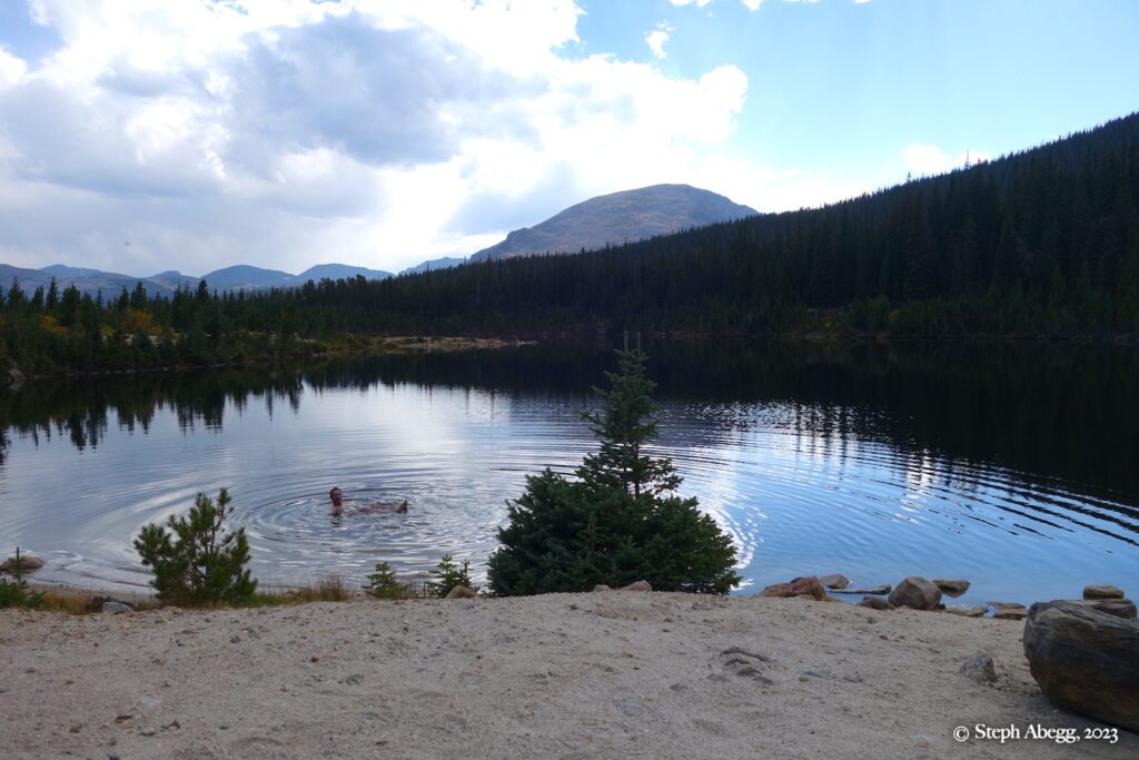
Hike the Sandbeach Lake trail 4.5 miles to Sandbeach Lake. Walk west along the beach, cross the inlet to the lake, and find a good path that leads northwest into the forest. Follow the path, interrupted by winfall, up a ravine to where it fades in a steep grassy slope; look for cairns. Head north out of the ravine and arrive at a field of large boulders. Skirt along the left edge of the boulders to where the forest closes and a faint path leads to a second boulderfield below the north side of Mt. Orton. Again, skirt along the left edge of the boulders and pick up a path that runs northwest through a series of openings in the forest. Stay close to Mount Orton. Eventually gain a long meadow that runs without difficulty along the left edge of the valley, all the way to the Crescent Ridge of Pagoda. 

Lower Ridge

5.5-5.6, 3-4 pitches
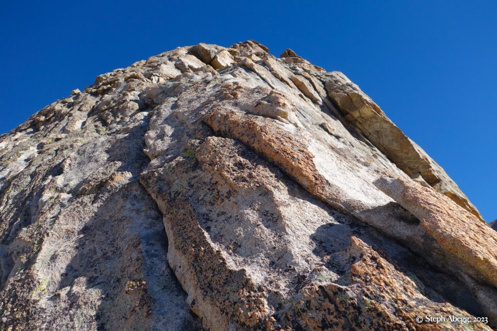
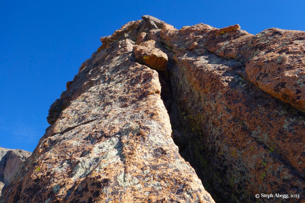
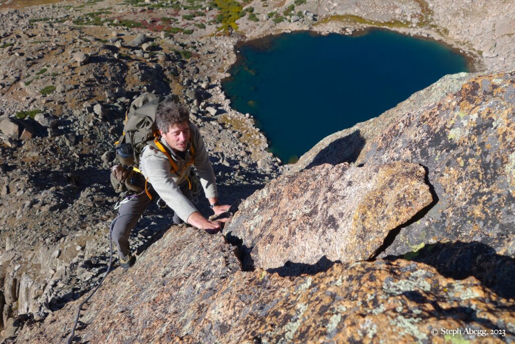
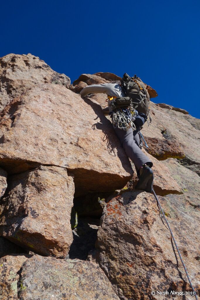
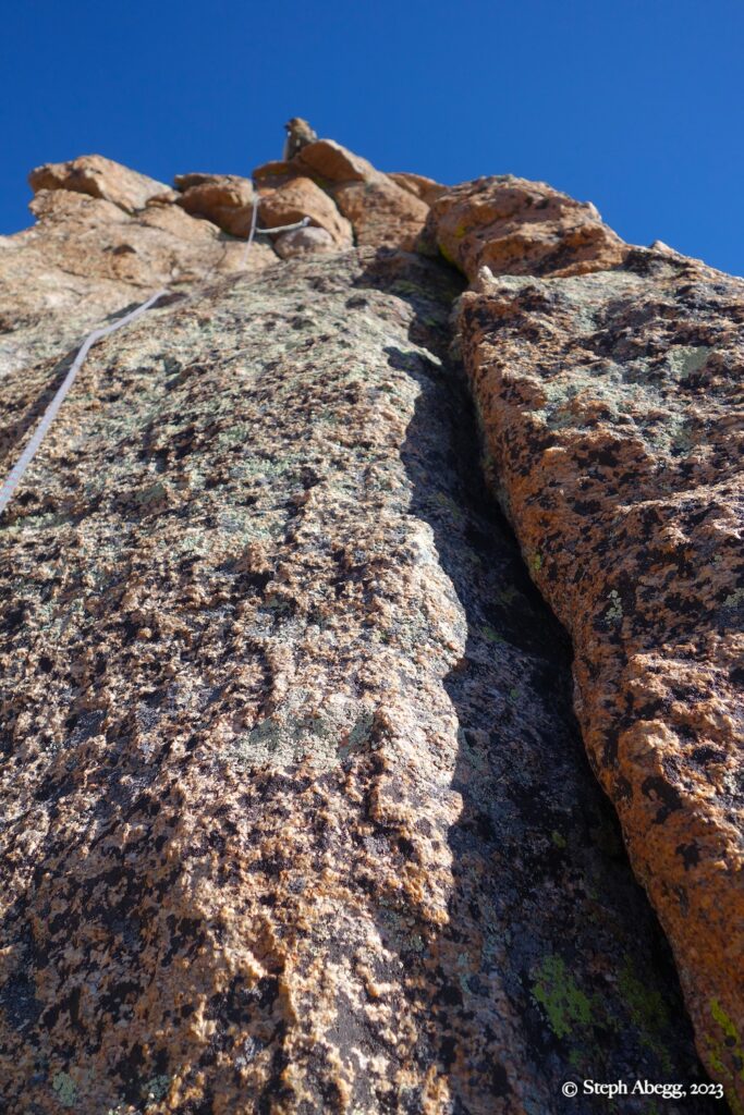
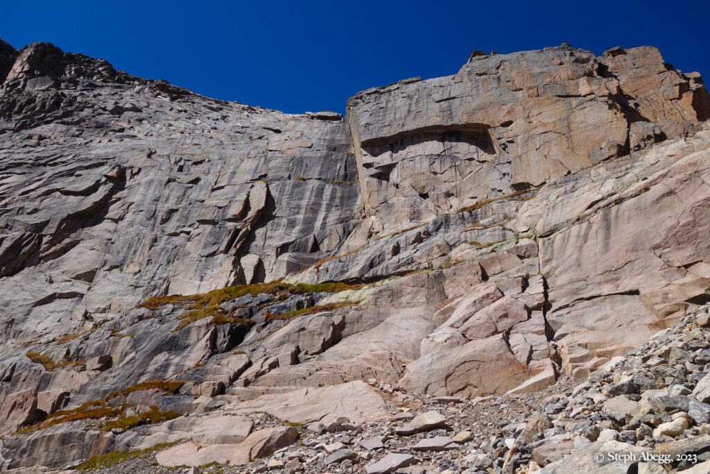
Climb the beautiful, clean buttress staying close to the ridge for three or four moderate pitches, following knobs and crack systems. Most of the climbing is 5.4 or easier. The 5.5-5.6 crux is near the top of the last pitch, just before topping out on the initial buttress. 

Upper Ridge

3rd-4th, several hundred feet
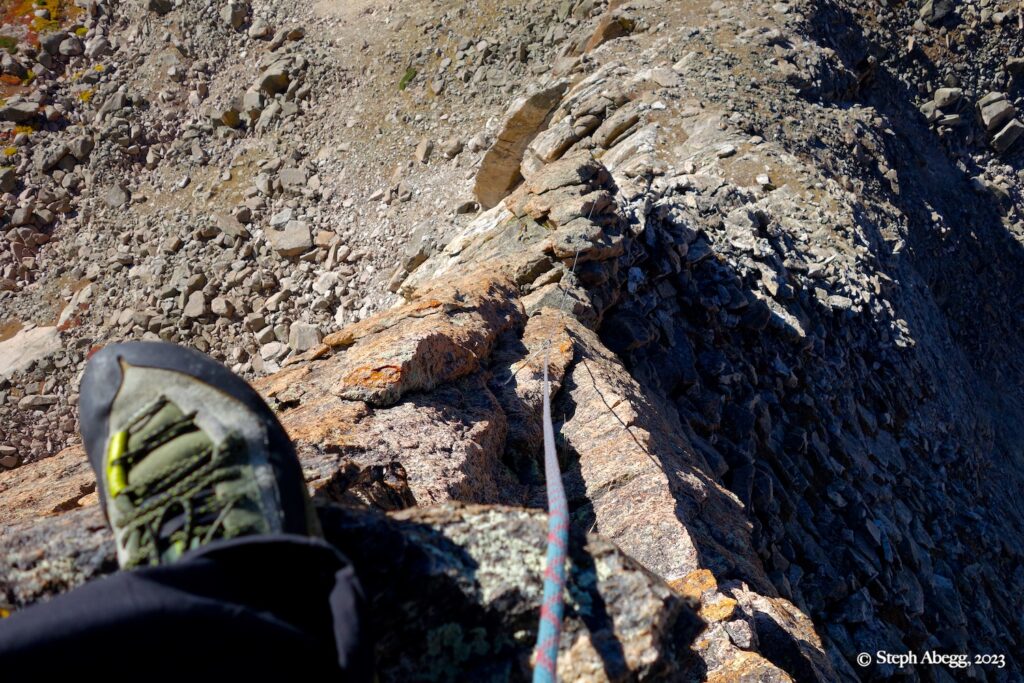
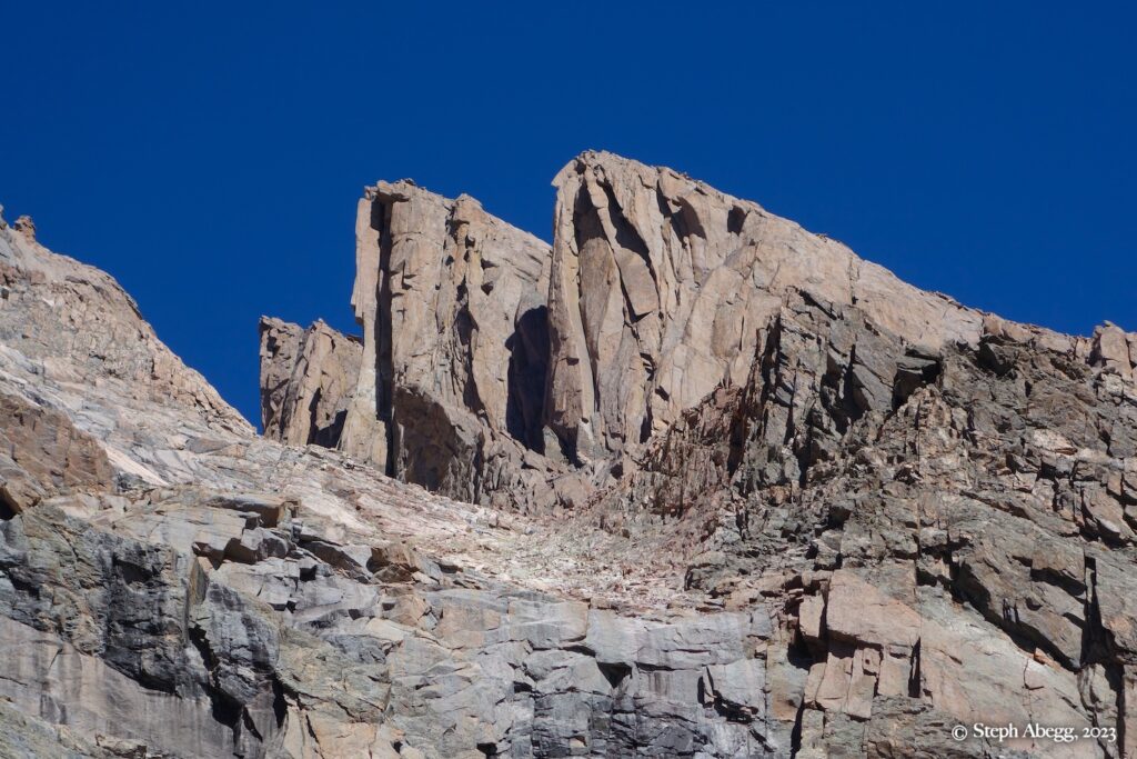
After topping out on the initial buttress, scramble up to the base of an upper white-and-pink slab crossed by a darker diagonal band. Enjoy hundreds of feet of scenic 3rd-class scrambling on the ridge crest as you approach an upper headwall. Make a 4th class move or two. Bypass the headwall on the left by a shadowy, exposed ramp.

Above the headwall, several hundred feet of talus take you to the summit.

Comments Pertaining to this Page / Trip Report

Useful beta. Updated route information. Corrections. Historical notes. Interesting facts. No fluff please.
Leave a Reply

Your email address will not be published. Required fields are marked *