Trail Ridge Road, winter, Lower Hidden Valley to Ute Crossing (~8.5 miles round trip, ~2200 ft gain/loss, snow) or Lower + Upper Hidden Valley to Tombstone Ridge to Ute Crossing to Forest Canyon Overlook (~9.2 miles round trip, ~2600 ft gain/loss, snow)

Trail Ridge Road in Winter

Routes:

- Lower Hidden Valley to Ute Crossing (~8.5 miles round trip, ~2200 ft gain/loss, snow)
- Lower + Upper Hidden Valley to Tombstone Ridge to Ute Crossing to Forest Canyon Overlook (~9.2 miles round trip, ~2600 ft gain/loss, snow)

A peaceful road snowshoe along a road that is teeming with people and cars in the summertime.

Region: Colorado
Elev: Hidden Valley Parking Elev: 9,240 ft; Rainbow Curve Elev: 10,875 ft; Ute Crossing Elev: 11,440 ft; Tombstone Ridge Elev: ~11,600 ft; Forest Canyon Overlook Elev: 11,716 ft
Type: 
Trip Report 1:
to Ute Crossing
Date(s): February 10, 2024 (Sat)
Partner(s): solo
Trip Report 2:
to Forest Canyon Overlook
Date(s): February 17, 2024 (Sat)
Partner(s): solo
This page contains two trip reports for winter hikes / snowshoes on Trail Ridge Road.

Map

CLICK TO ENLARGE

Trip Reports

CLICK ON TRIP REPORT TO DROP DOWN CONTENT

Intro

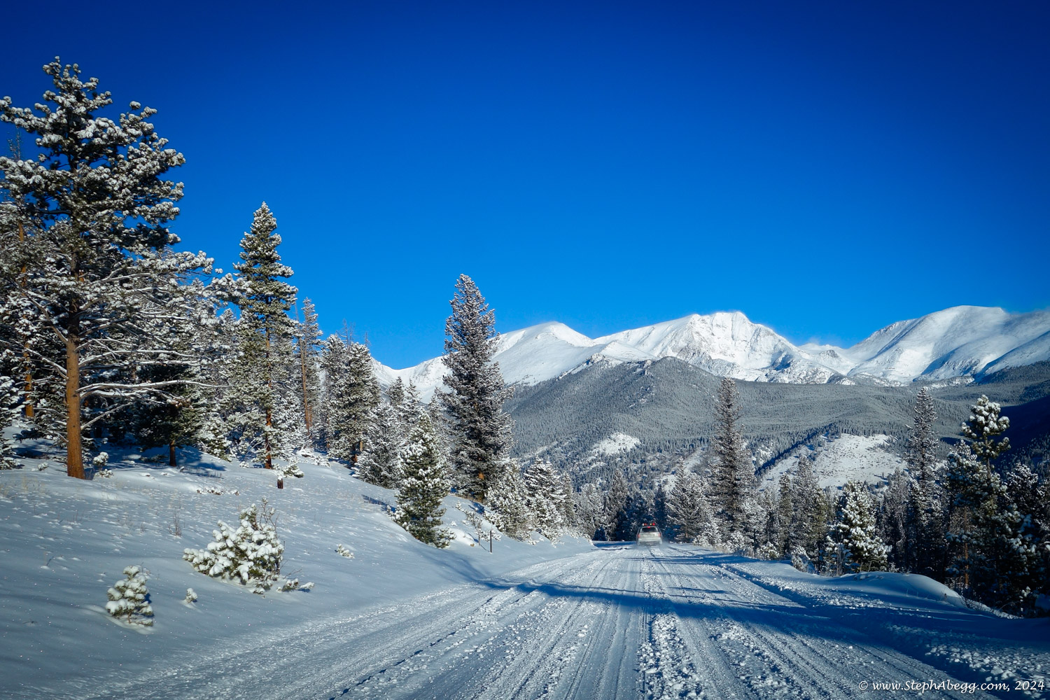
I've got a vague goal to discover and experience all of the good winter hiking/snowshoeing adventures to be had on the east side of Rocky Mountain National Park, mere minutes from my doorstep. At this point I've done quite a bit. Maybe I'll write a guidebook. One snowshoe I had not yet done was Trail Ridge Road. So that was my destination on this day.

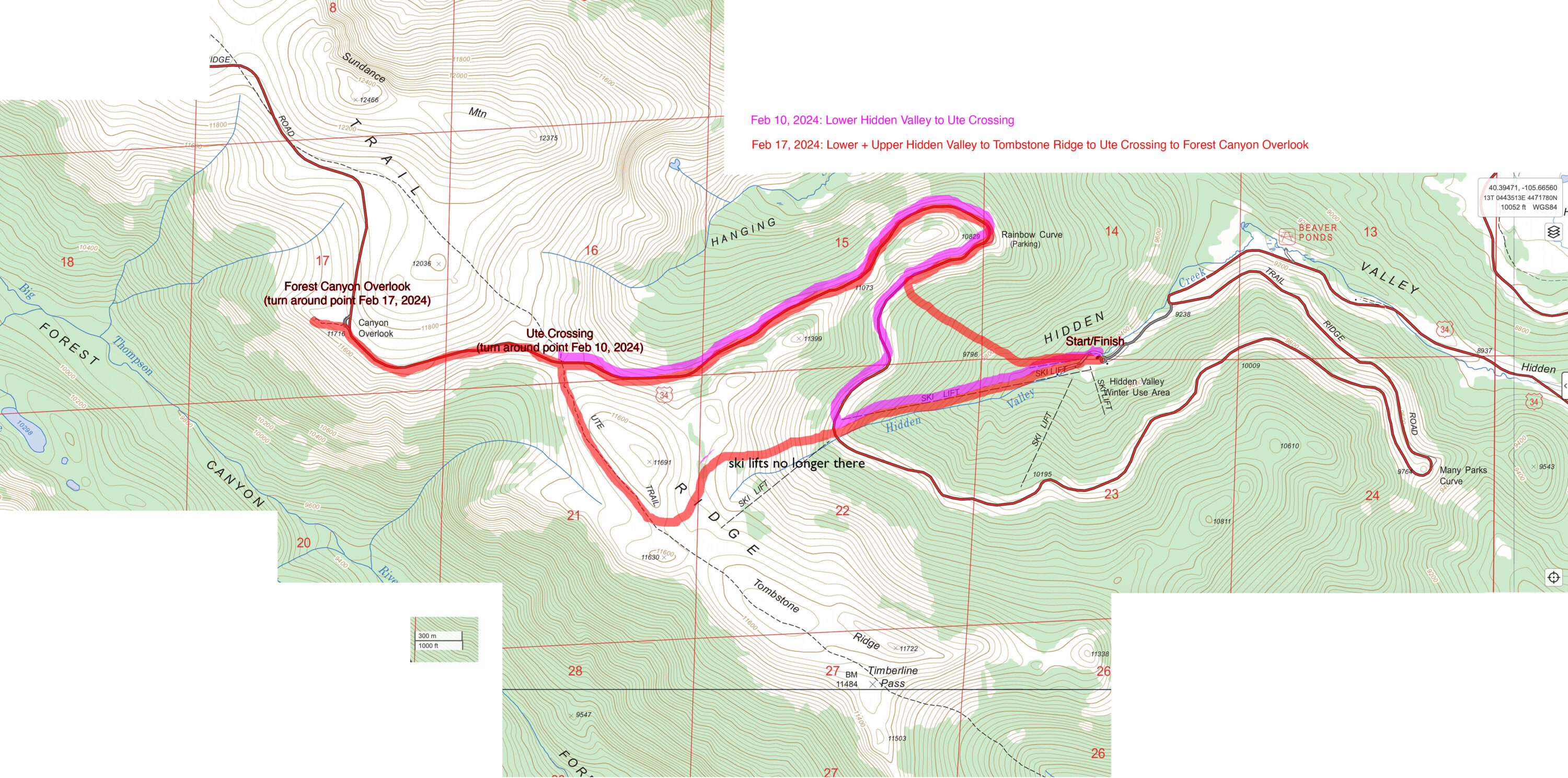
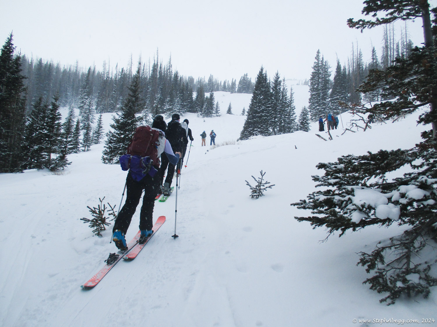
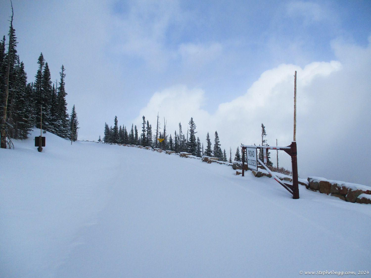
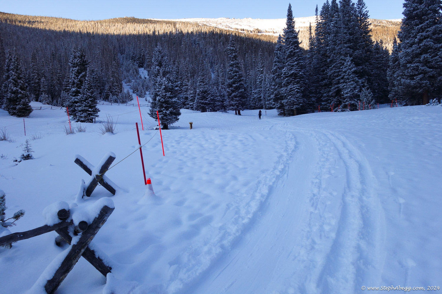
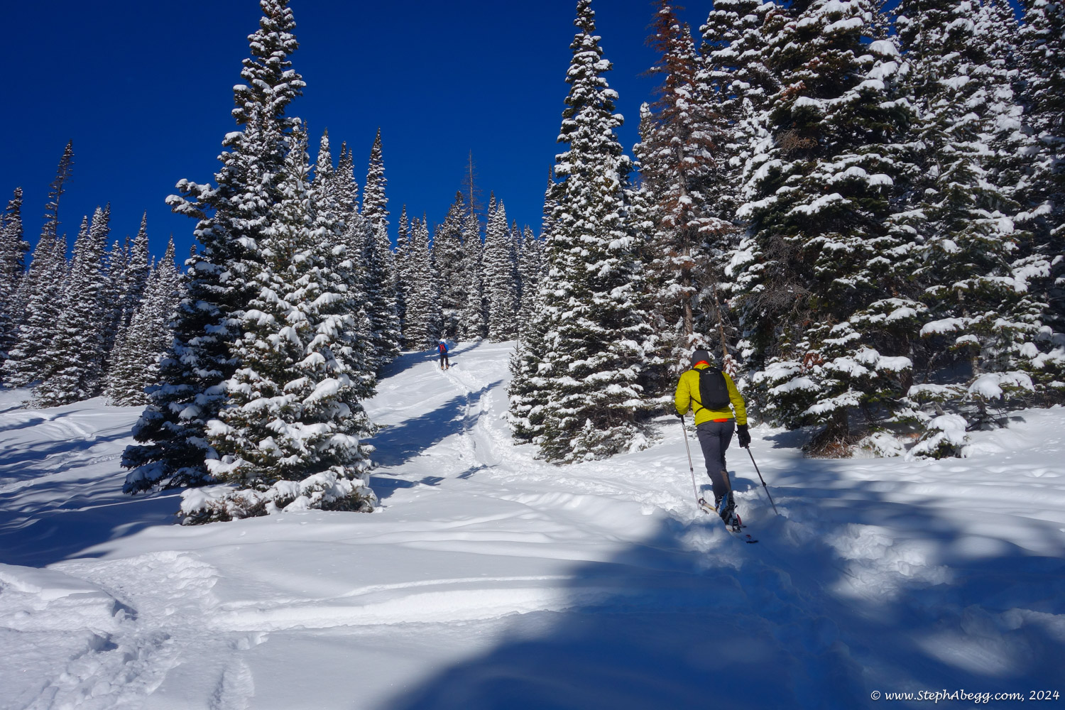
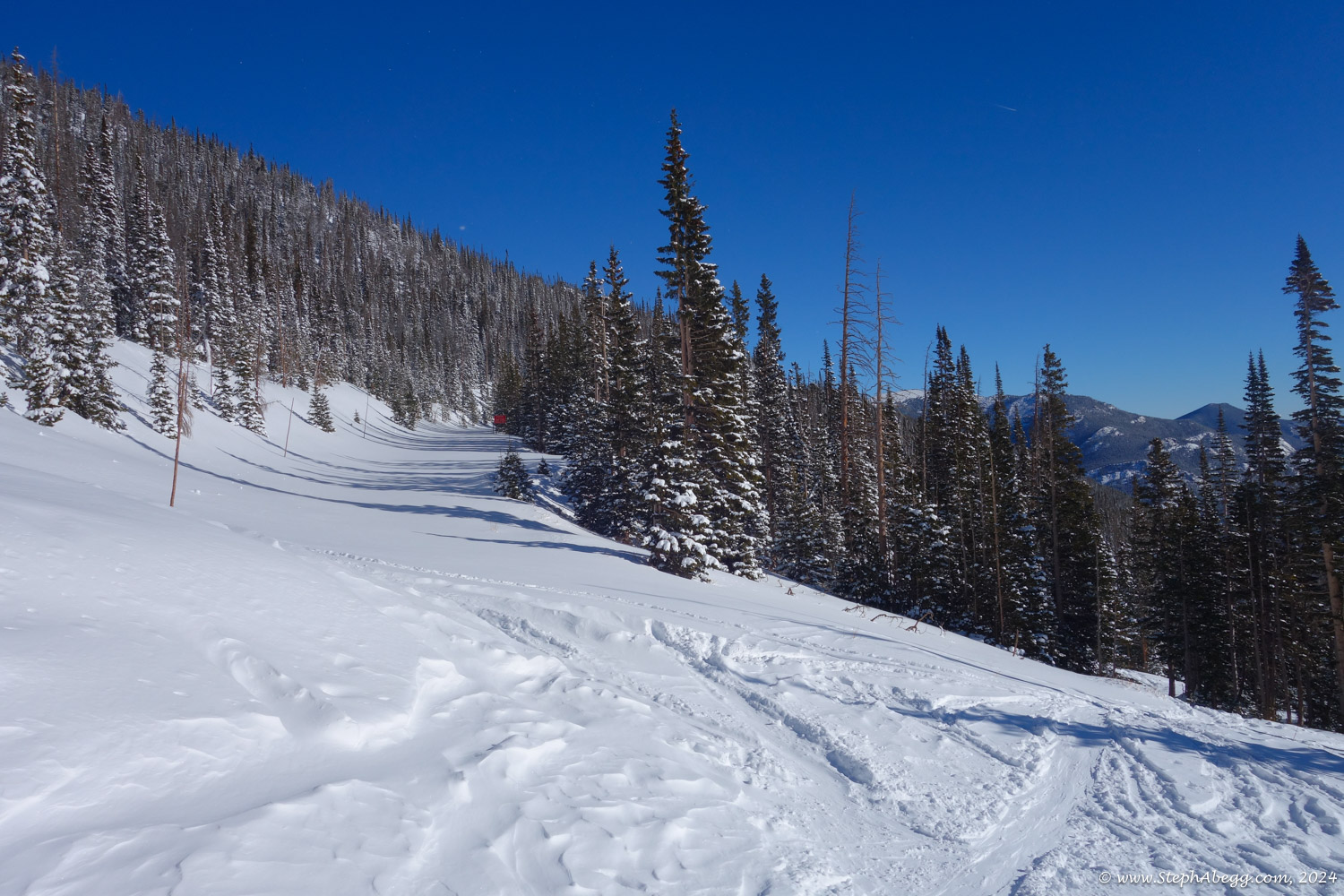
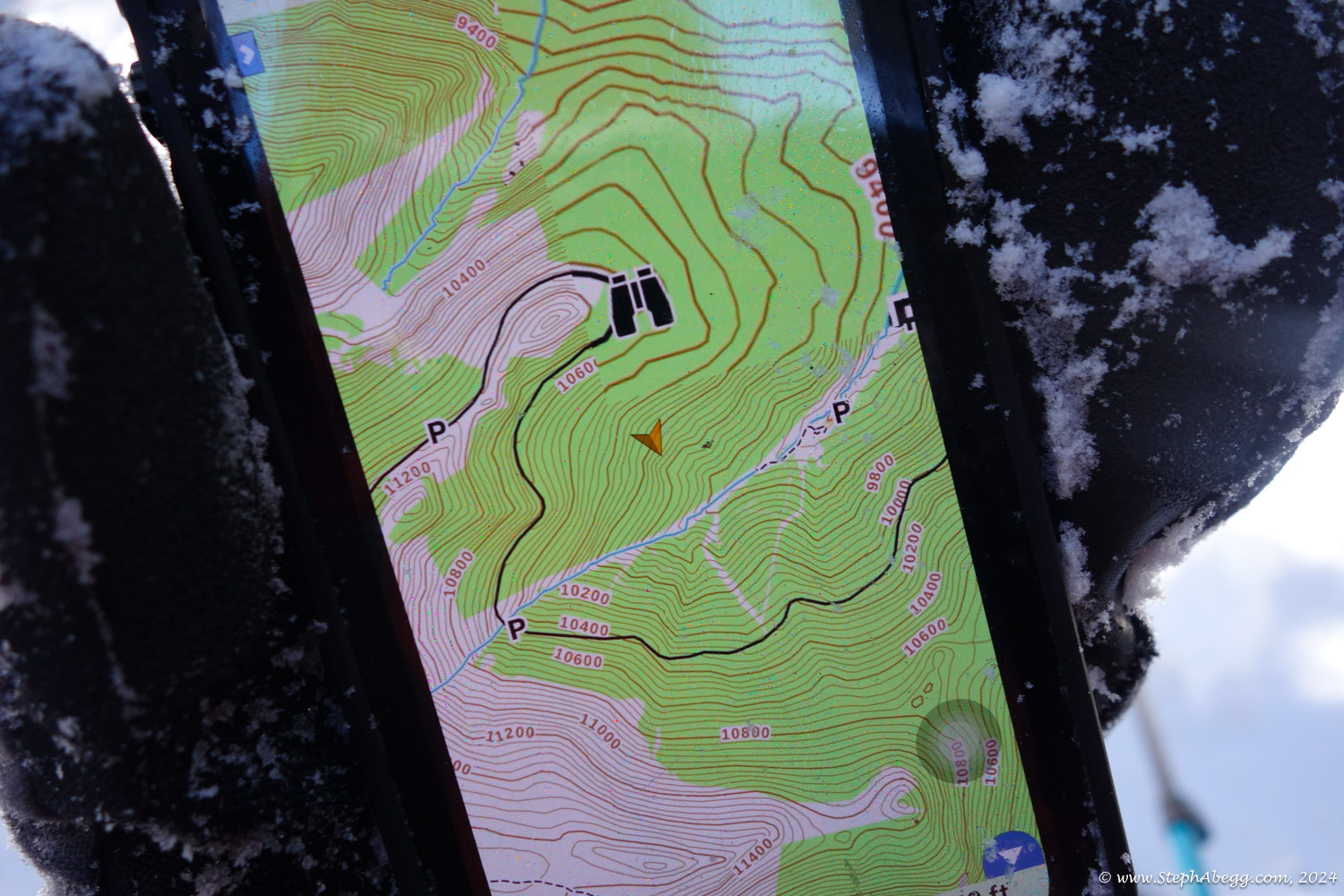
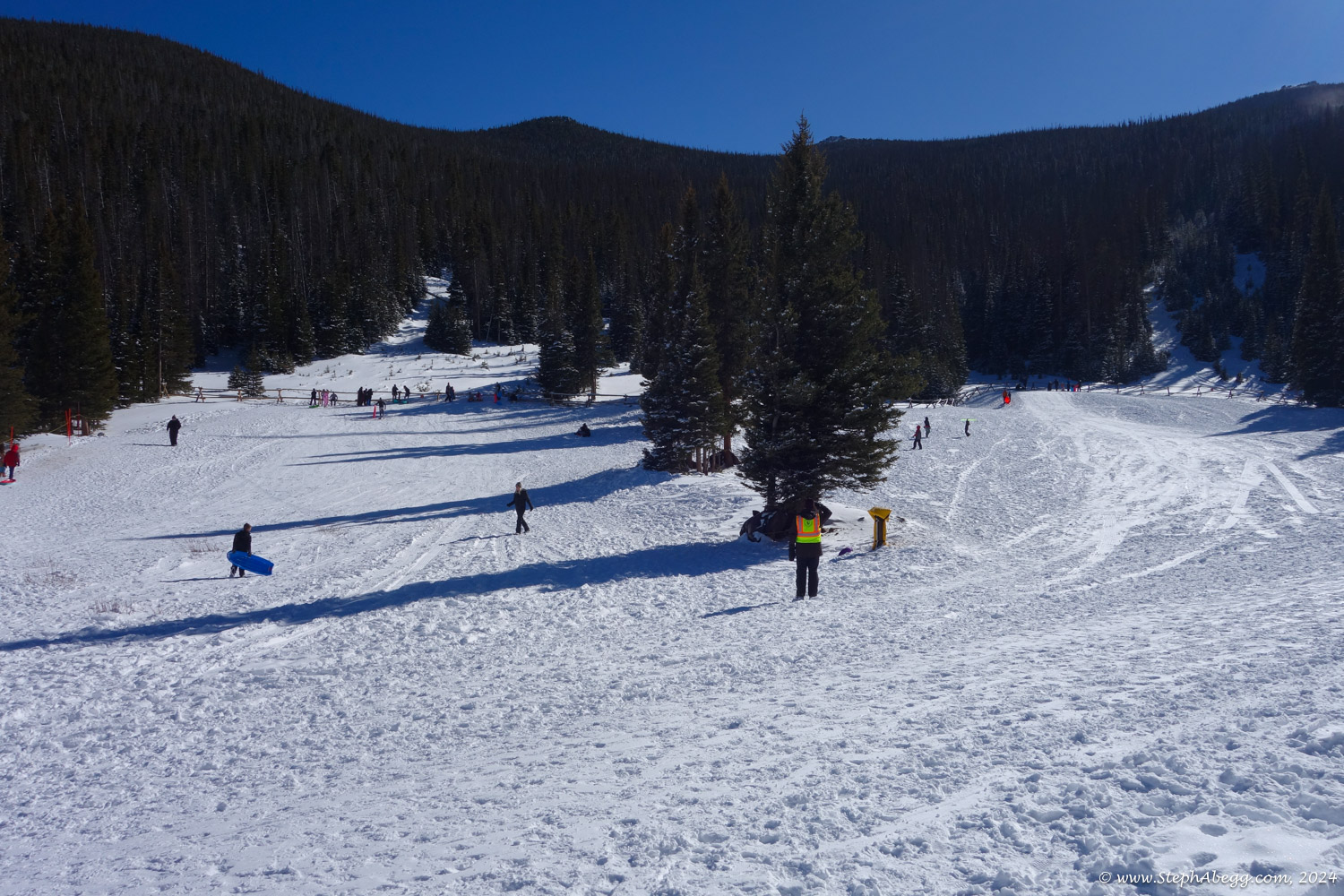
There are two ways to start: from the beginning of the road closure at Many Parks Curve (starts directly on Trail Ridge Road and at a higher elevation) or from Lower Hidden Valley (shorter, but involves a steep 1000 ft uphill up ski slopes to get to Trail Ridge Road). I chose to start at Lower Hidden Valley.

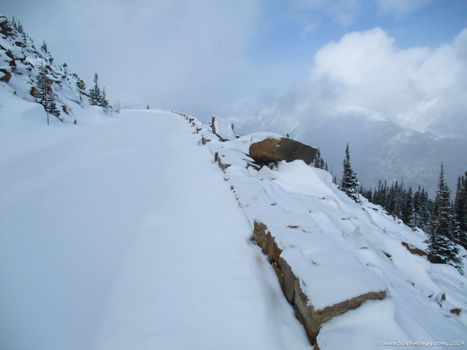
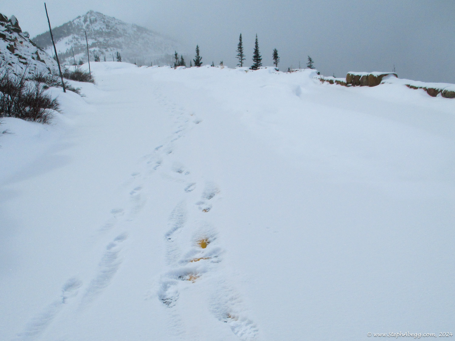
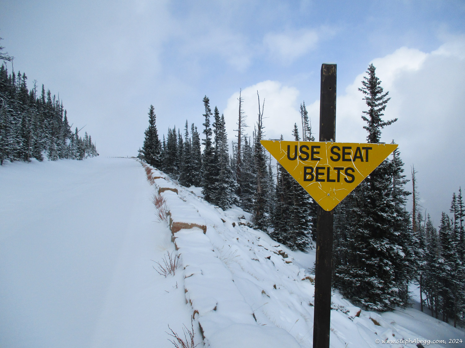
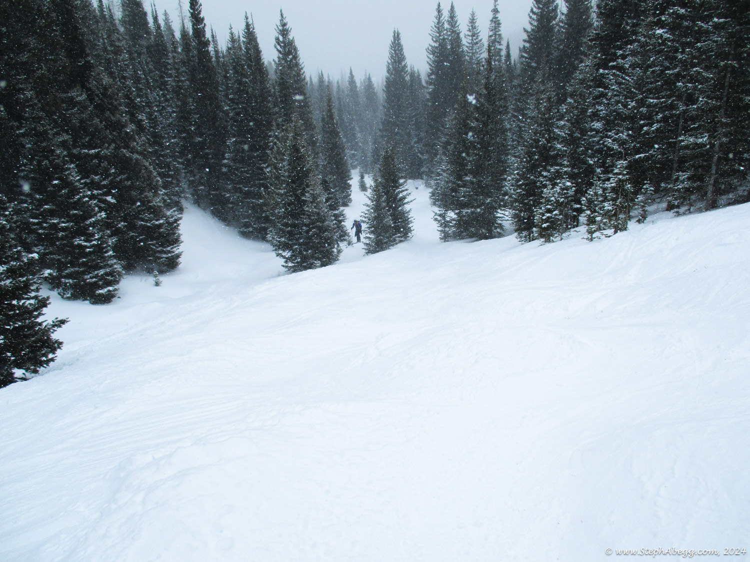
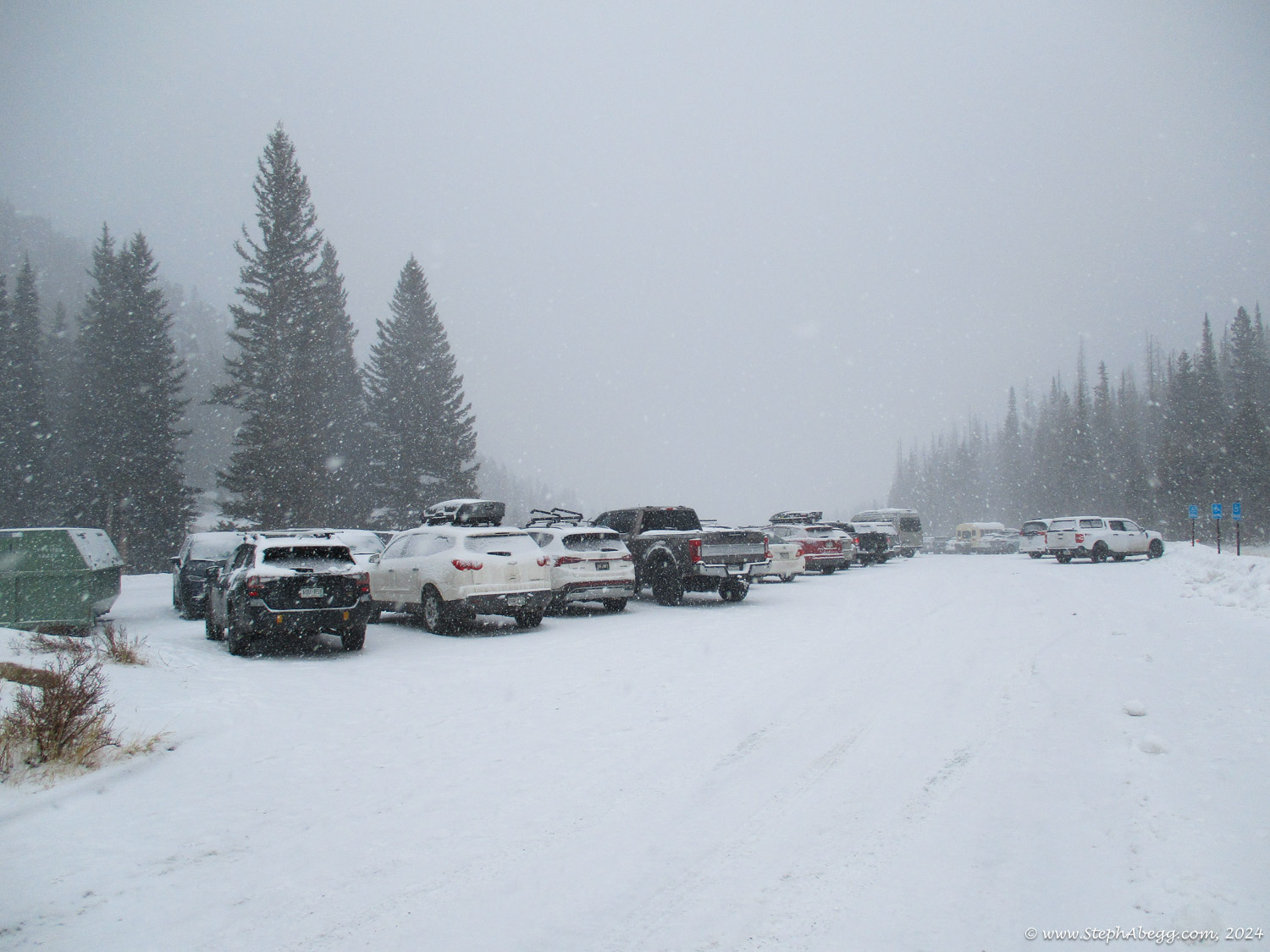
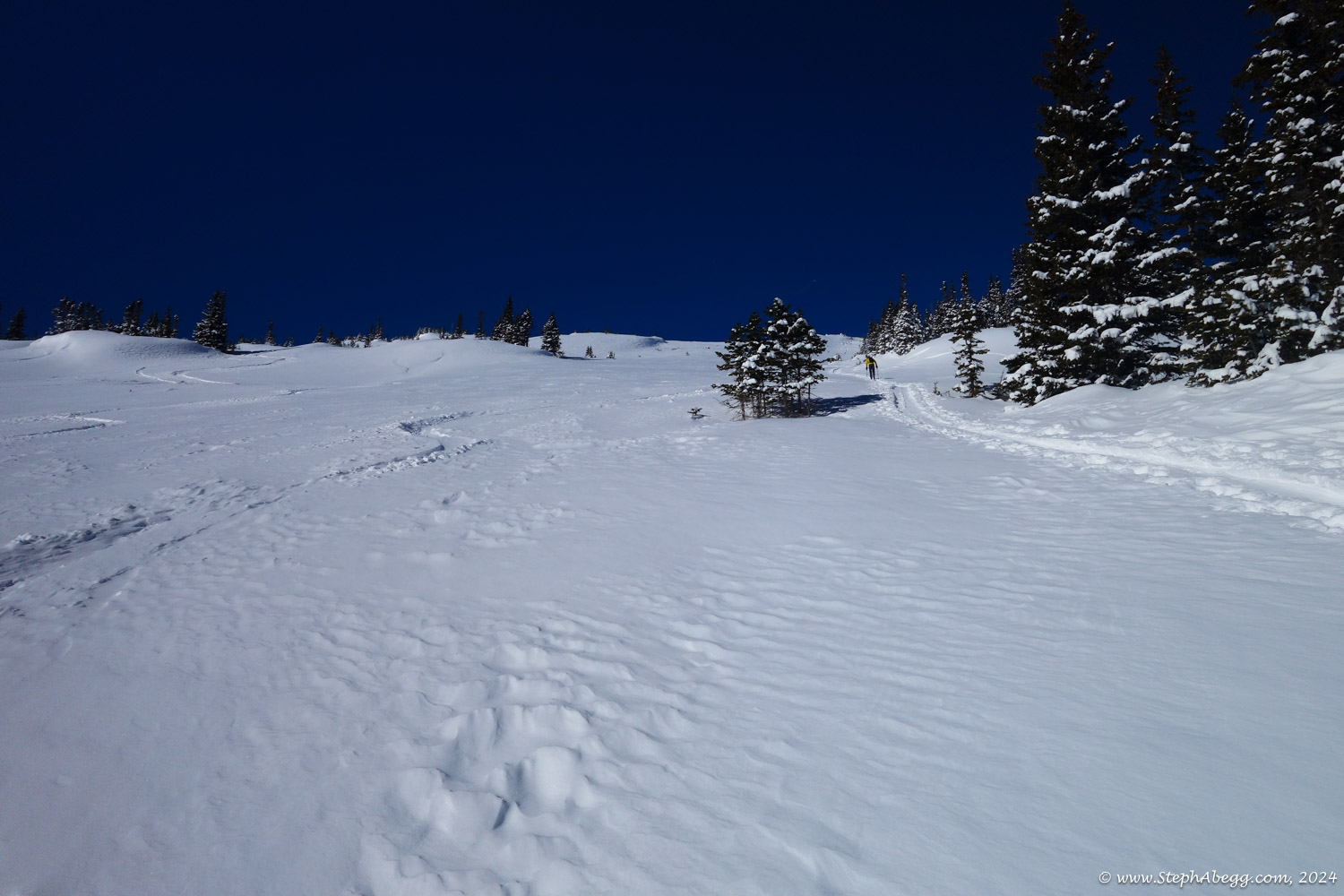
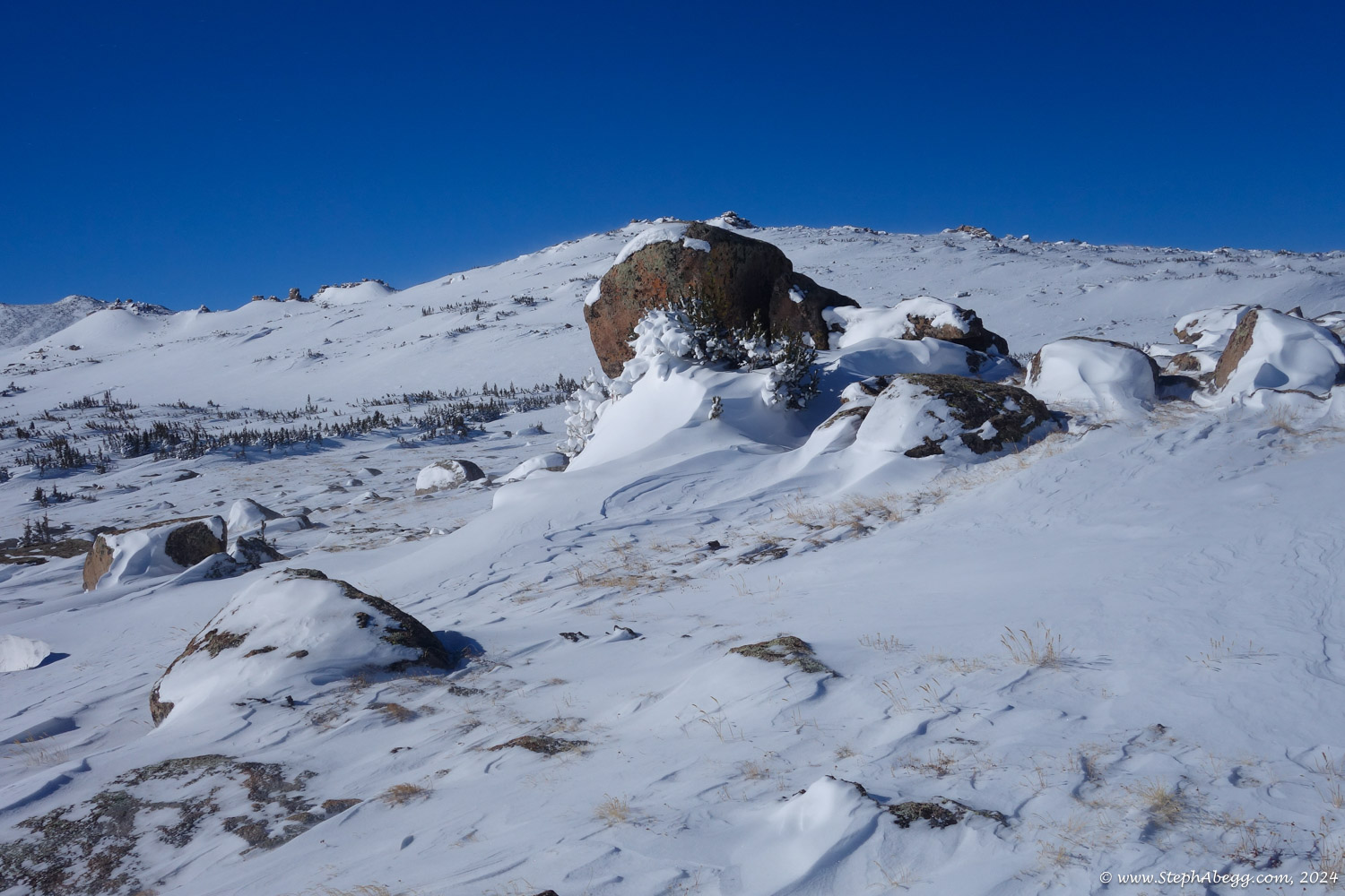
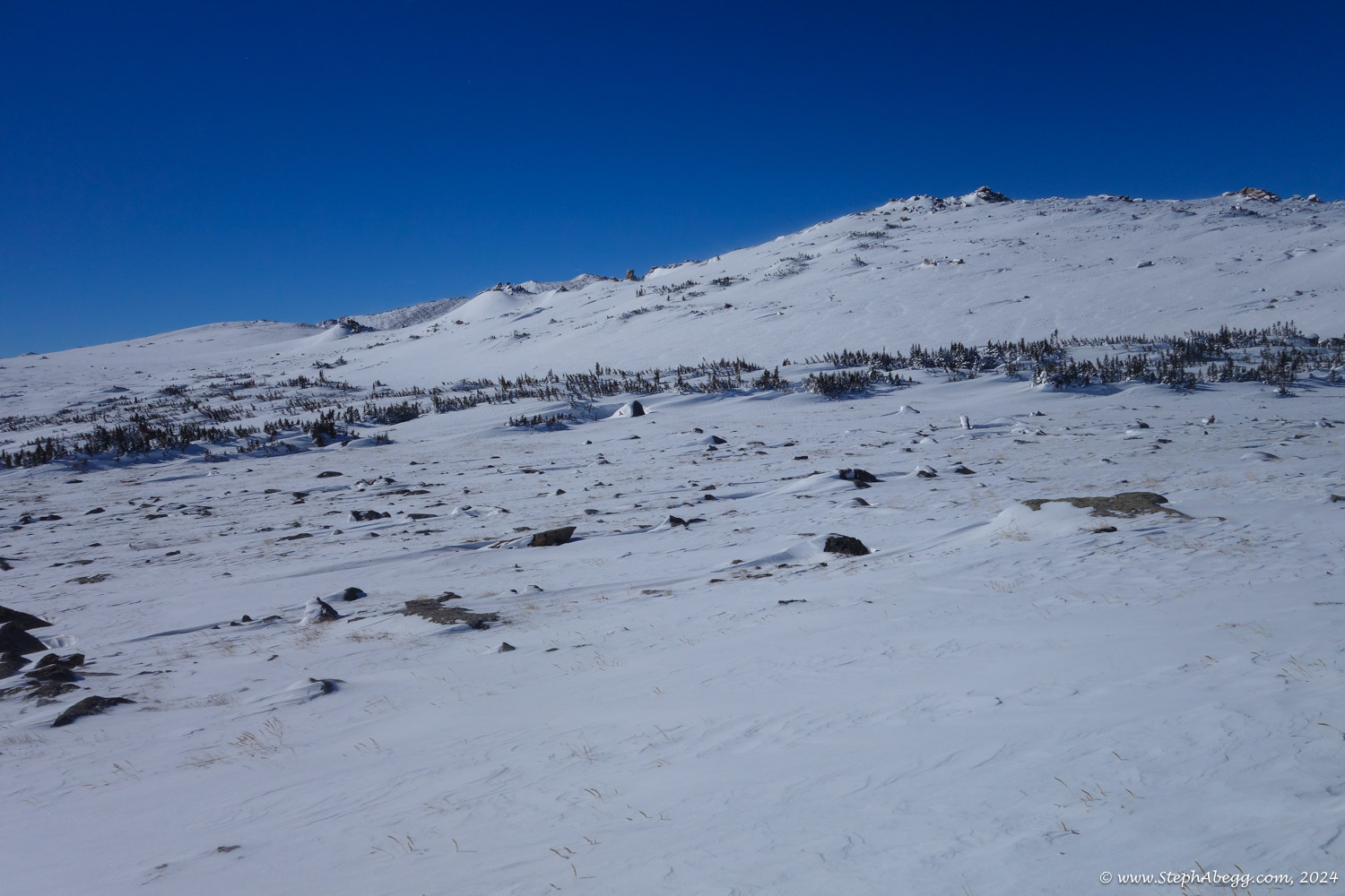
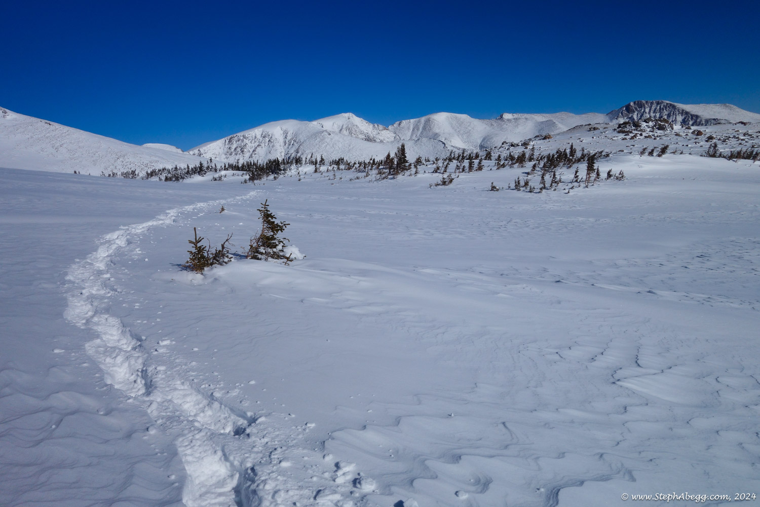
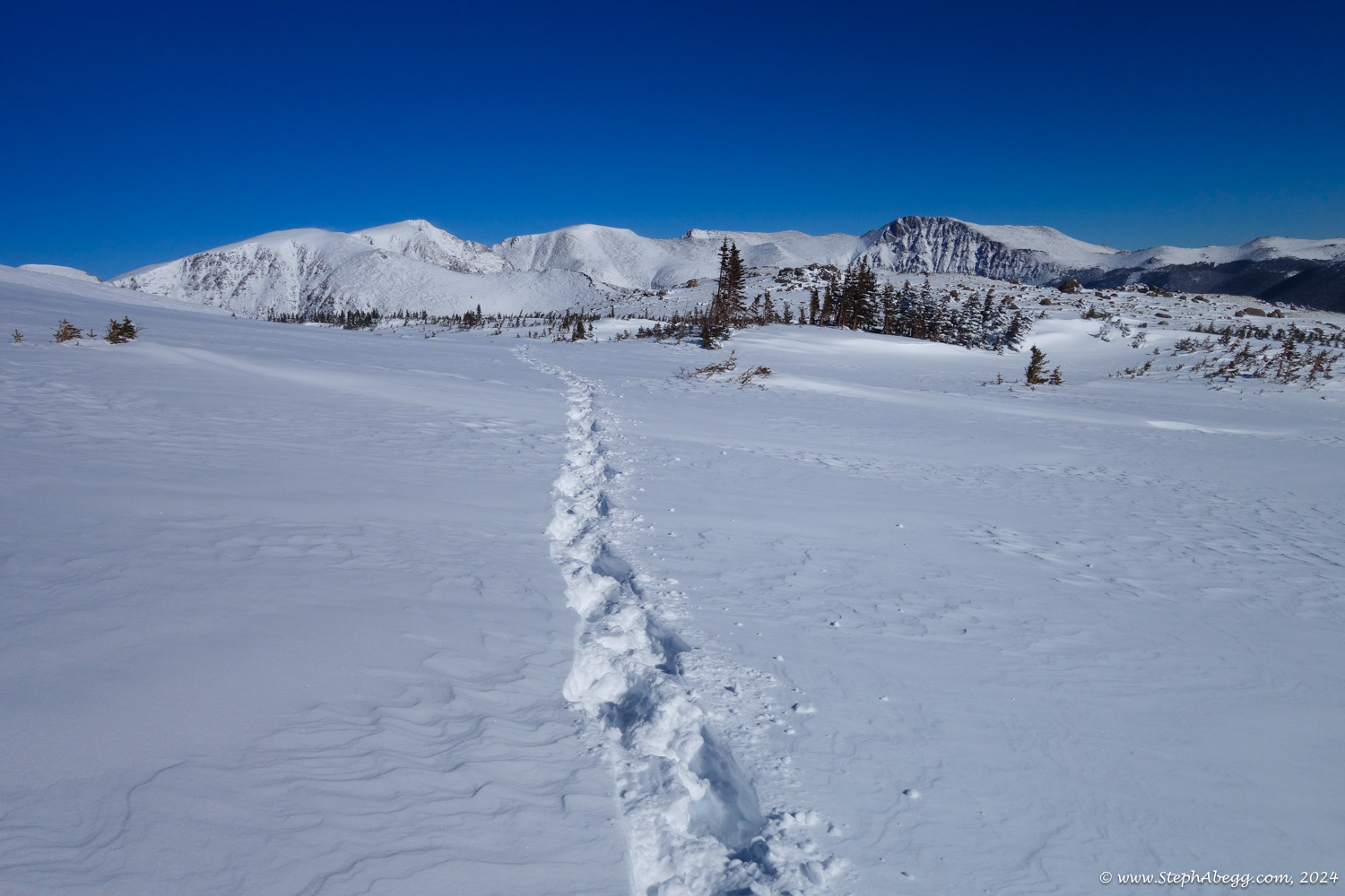
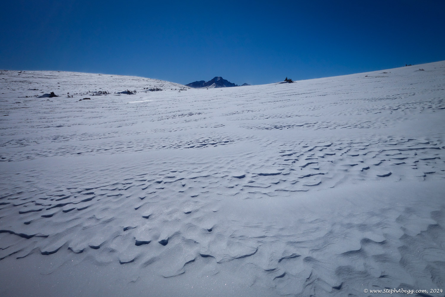
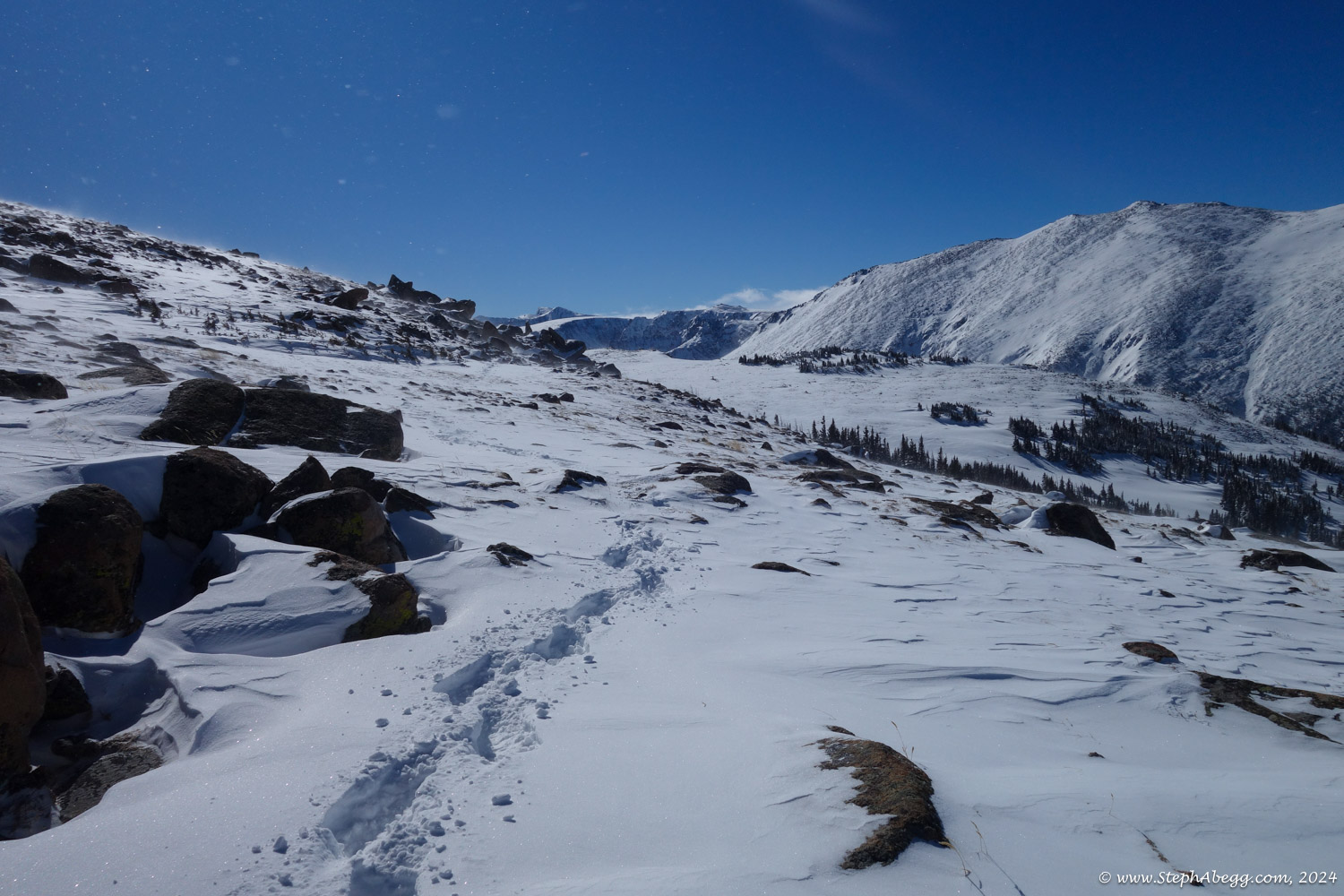
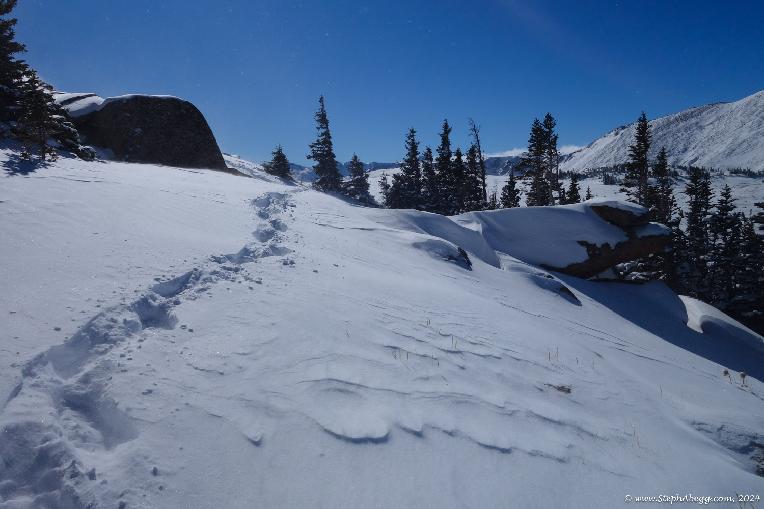
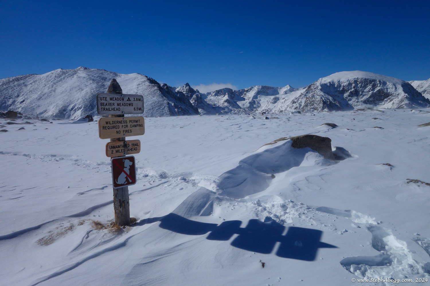
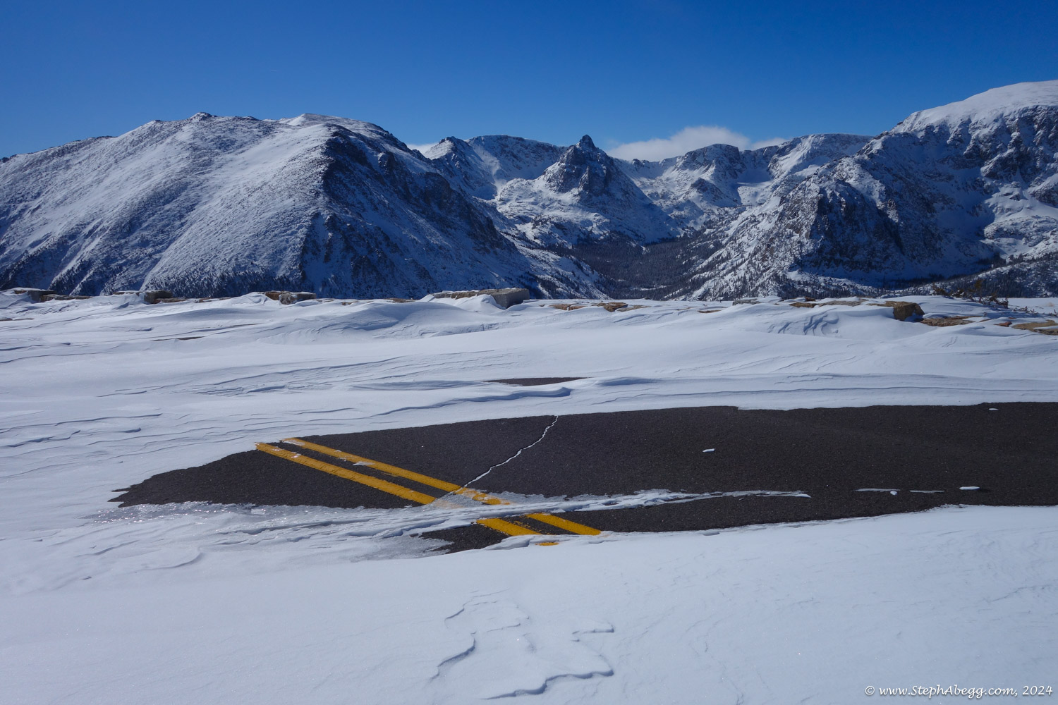
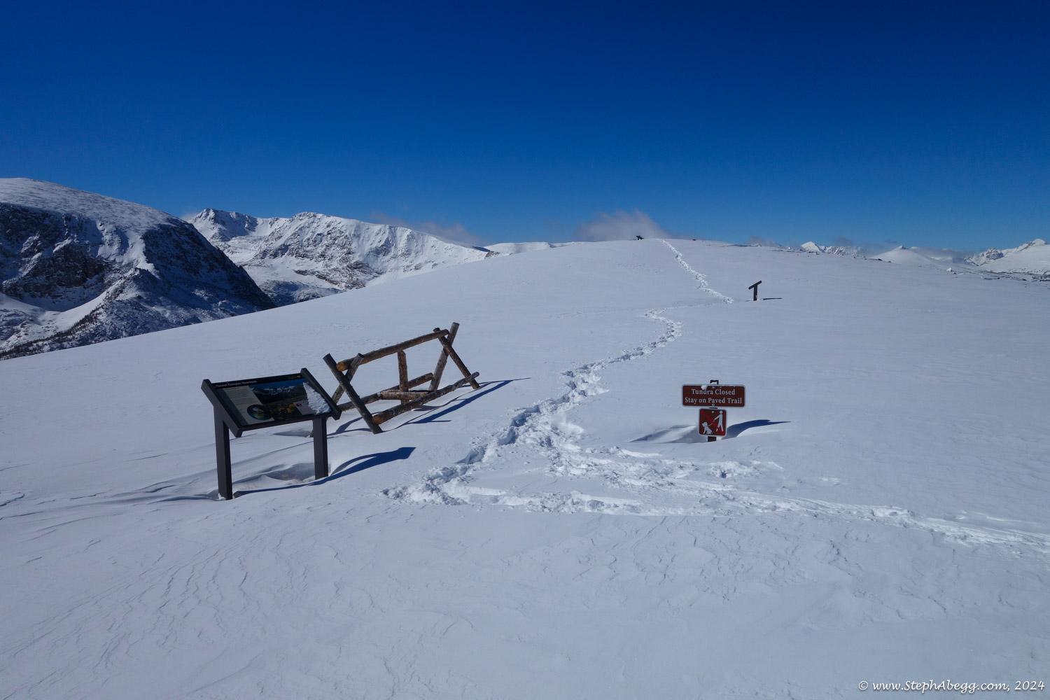
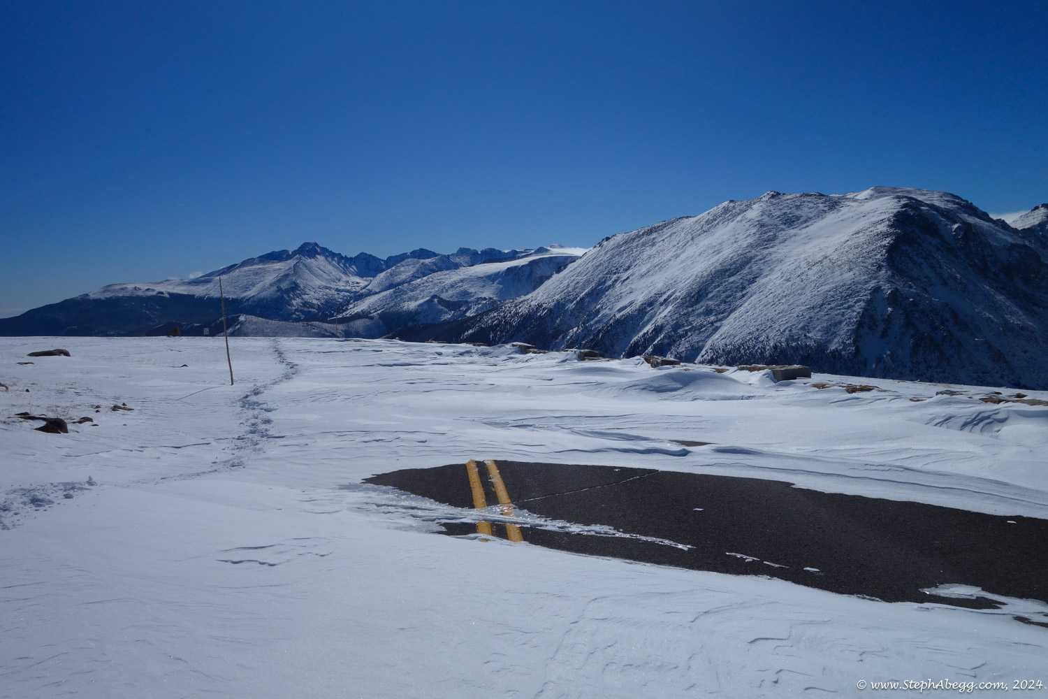
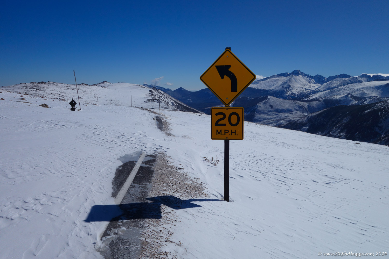
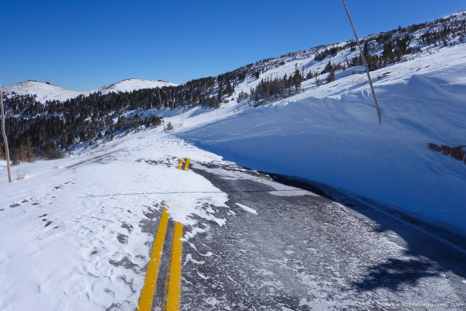
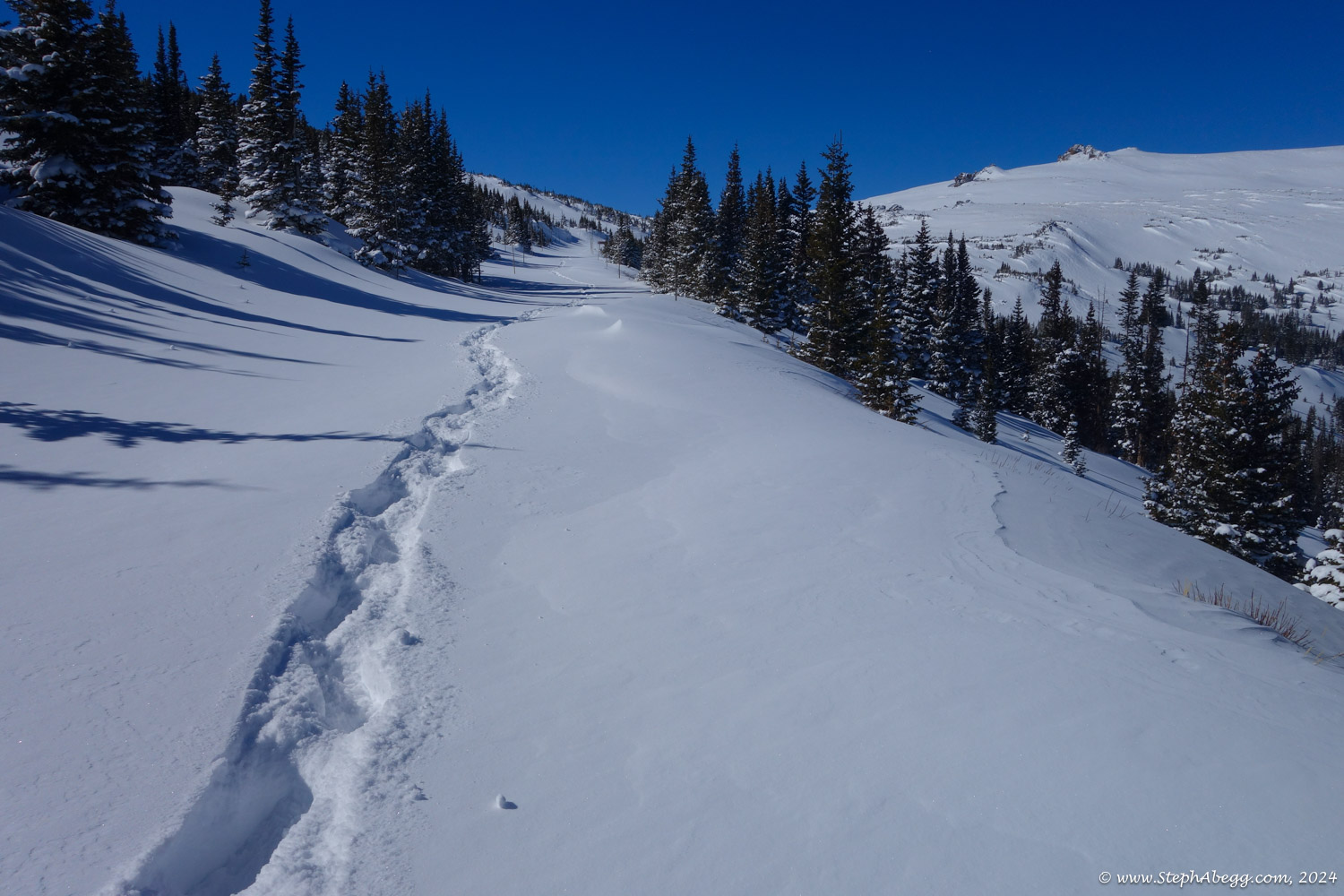
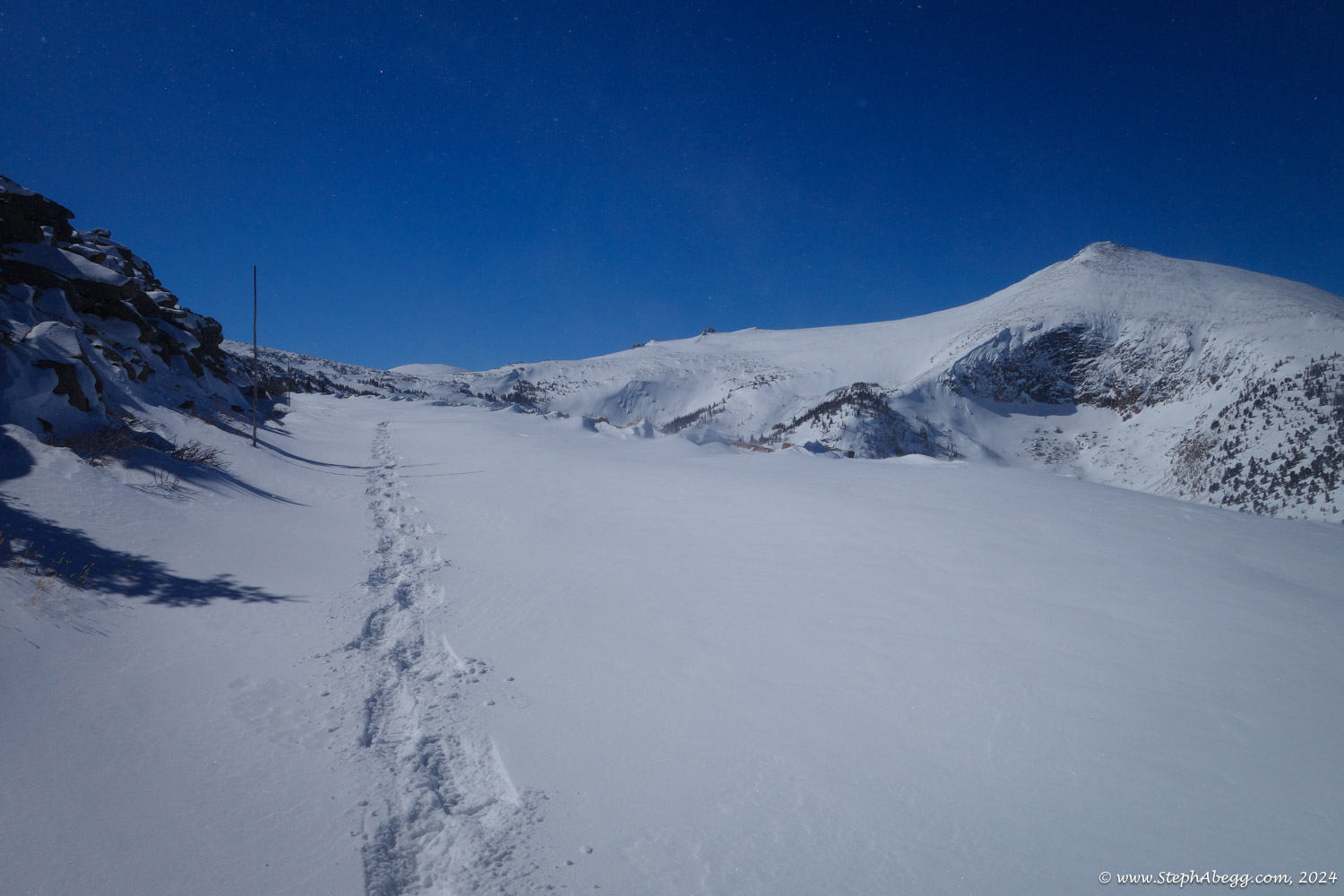
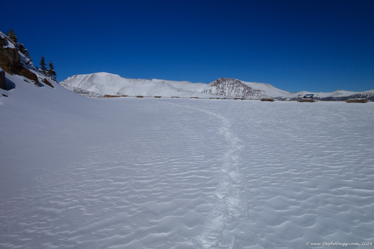
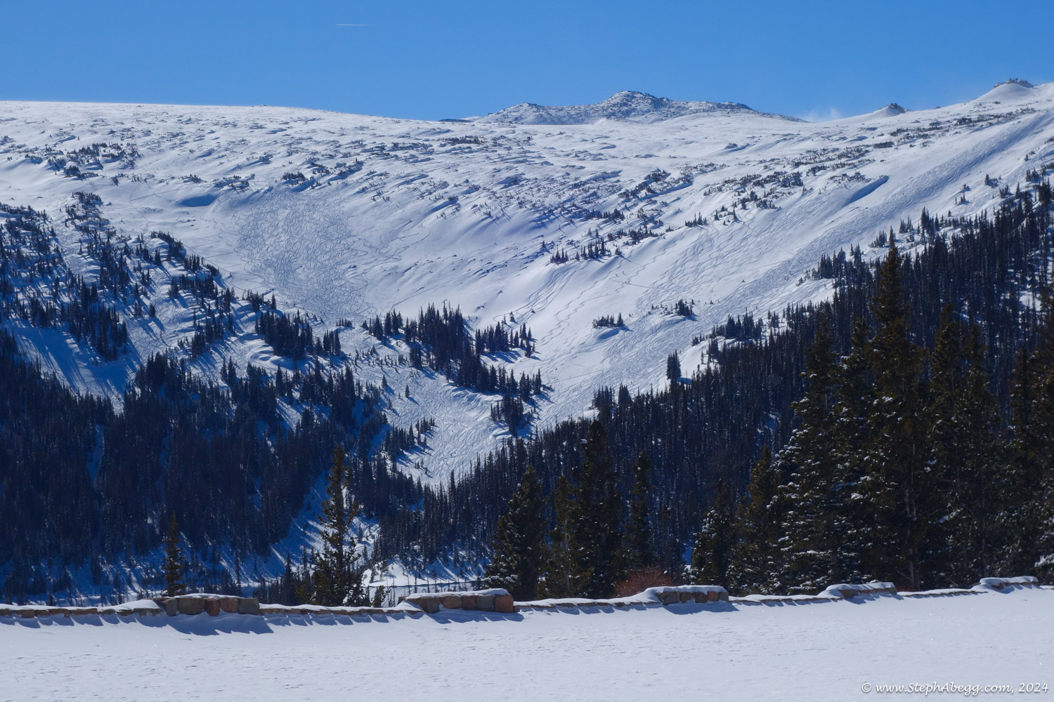
(Historical note: Hidden Valley Ski Area officially opened in 1955. The ski area featured an impressive 2,000-foot vertical from 11,400 to 9,400 feet. There was also a base lodge with cafeteria and gift shop, ski patrol headquarters, and a large parking area. A double chairlift was added in 1971, and the ski area became frequented mostly by Northern Colorado residents who would otherwise face a long drive to the larger ski resorts along Interstate 70. However, in the late ’80s, it became apparent that Hidden Valley couldn’t compete with the bigger Colorado resorts. Following a meager snow season during which skier visits dropped by nearly 33 percent, Hidden Valley removed its lifts and closed ski operations in 1991. But while the ski area is gone, the mountain remains, and it has become a popular destination just a short drive from Estes Park for all kinds of fun in the snow. Here is a link to a website with some historical photos of Hidden Valley Ski Area.)

It took me just under an hour to get to Trail Ridge Road. There were lots of skiers also heading up the hill (I made a good effort to stay out of their skin tracks), but once I turned onto Trail Ridge Road, I left all of them behind and had the entire road to myself. I hiked up the road; sometimes the road was practically bare, forcing me to remove my snowshoes; and other times the road was covered in thick drifts, forcing me to put them back on. Most of the time it was lightly snowing, but quite calm (calm days are rather rare in this area, but most of them seem to be on days when the snow lightly falls the entire day). I was hoping the clouds would break open but they never did. My turn around point was the Ute Crossing.

It was a nice way to get some exercise on a winter day. The entire adventure took me just a couple of minutes over 4 hours.

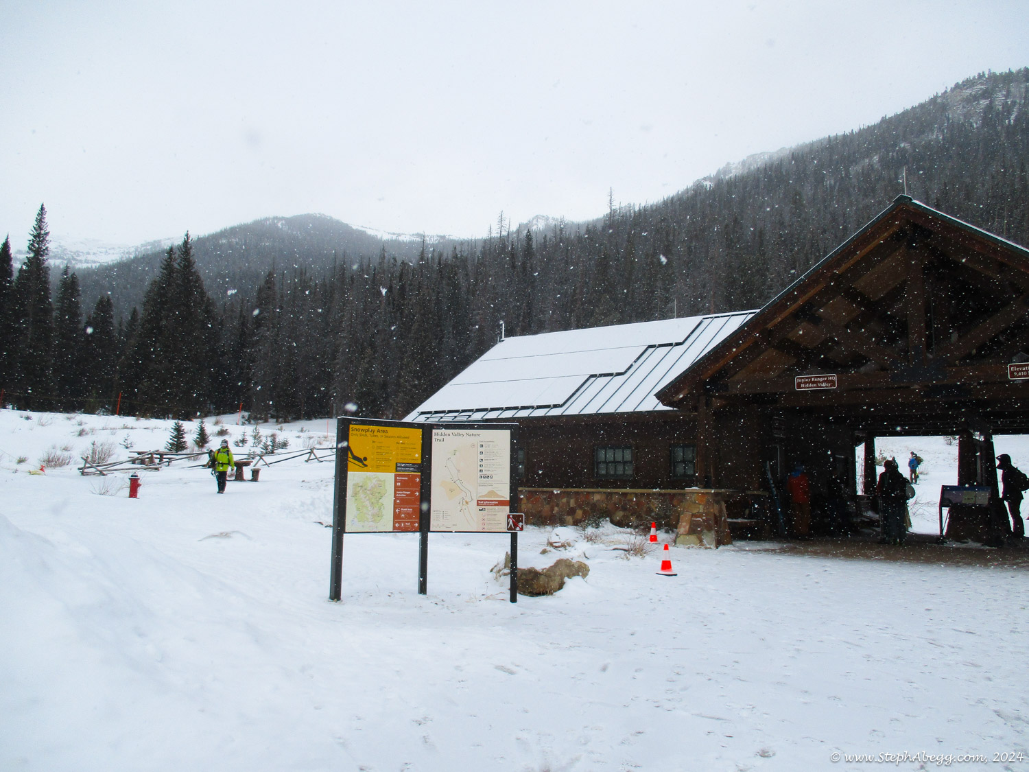
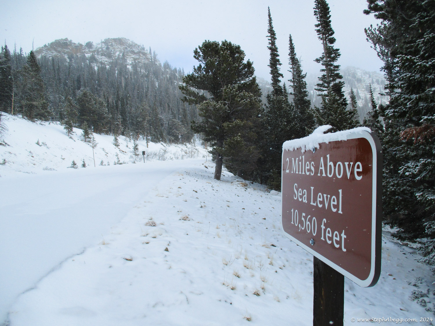
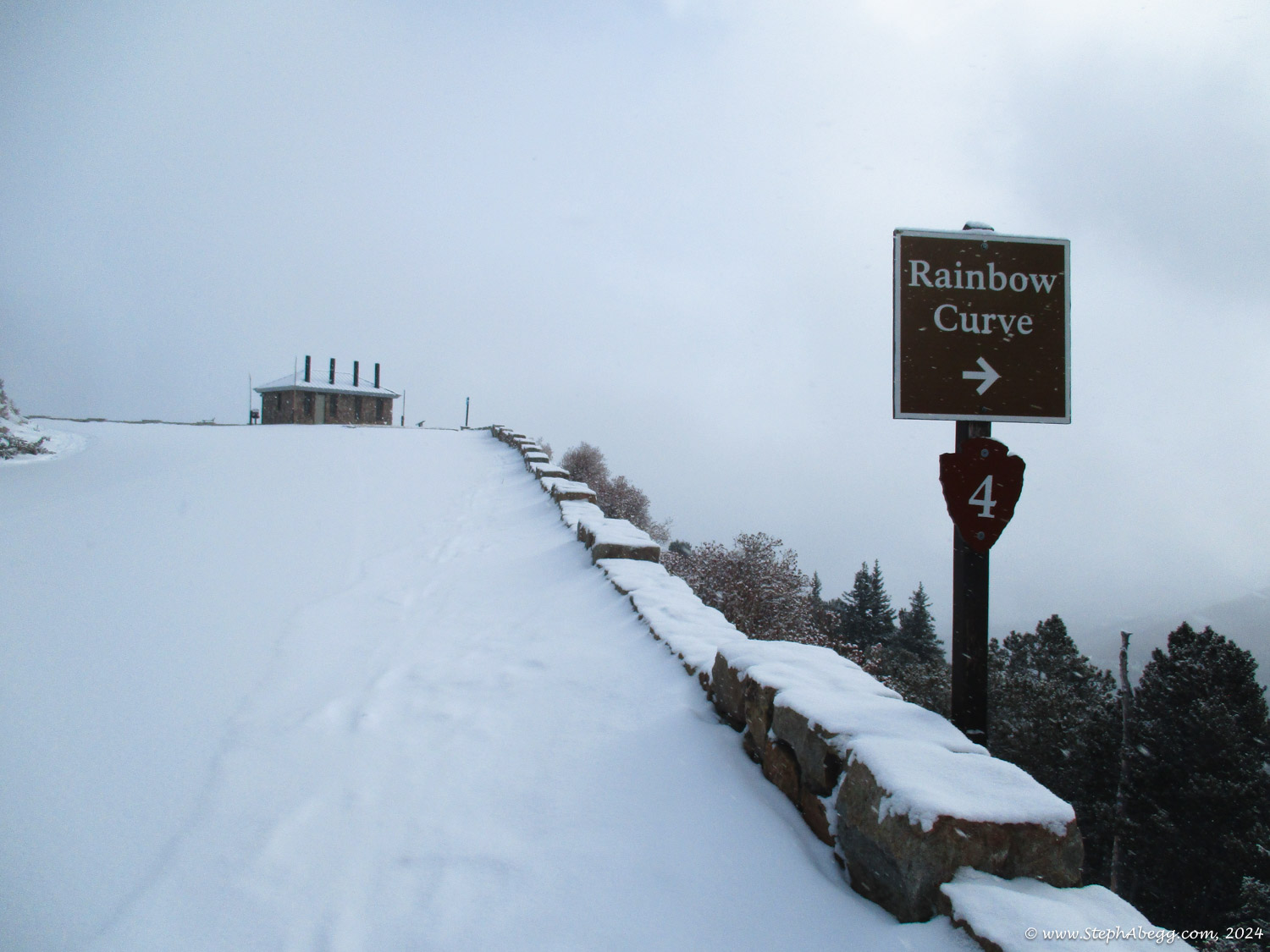
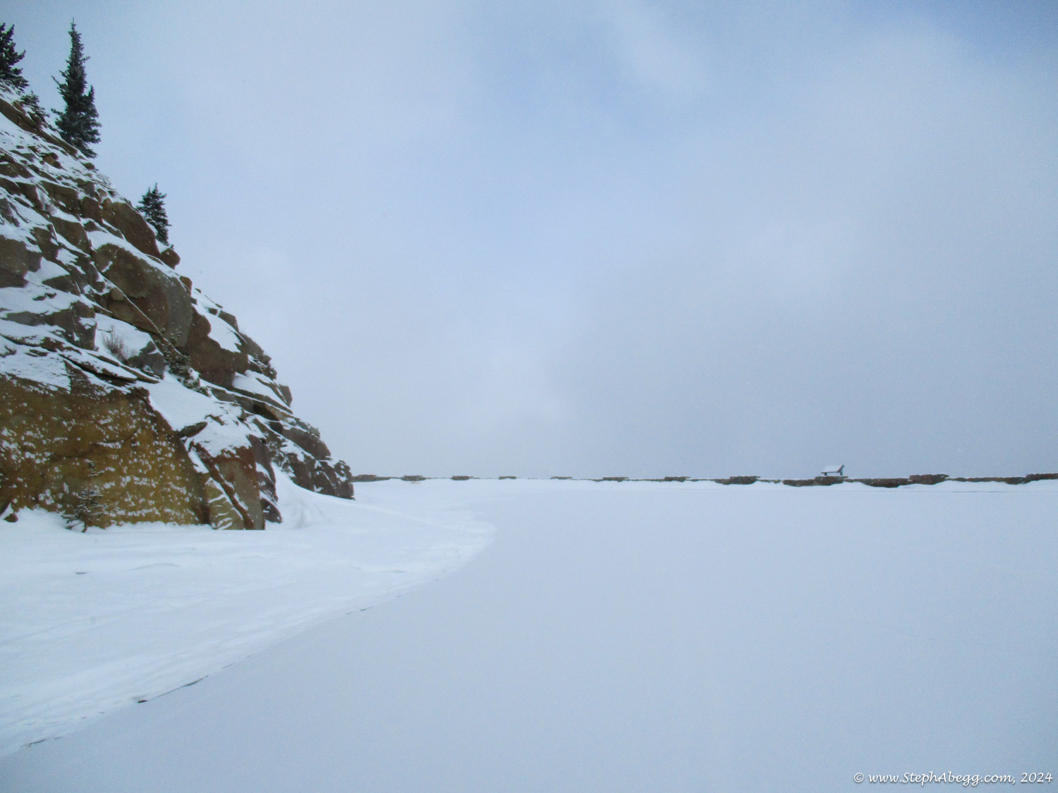
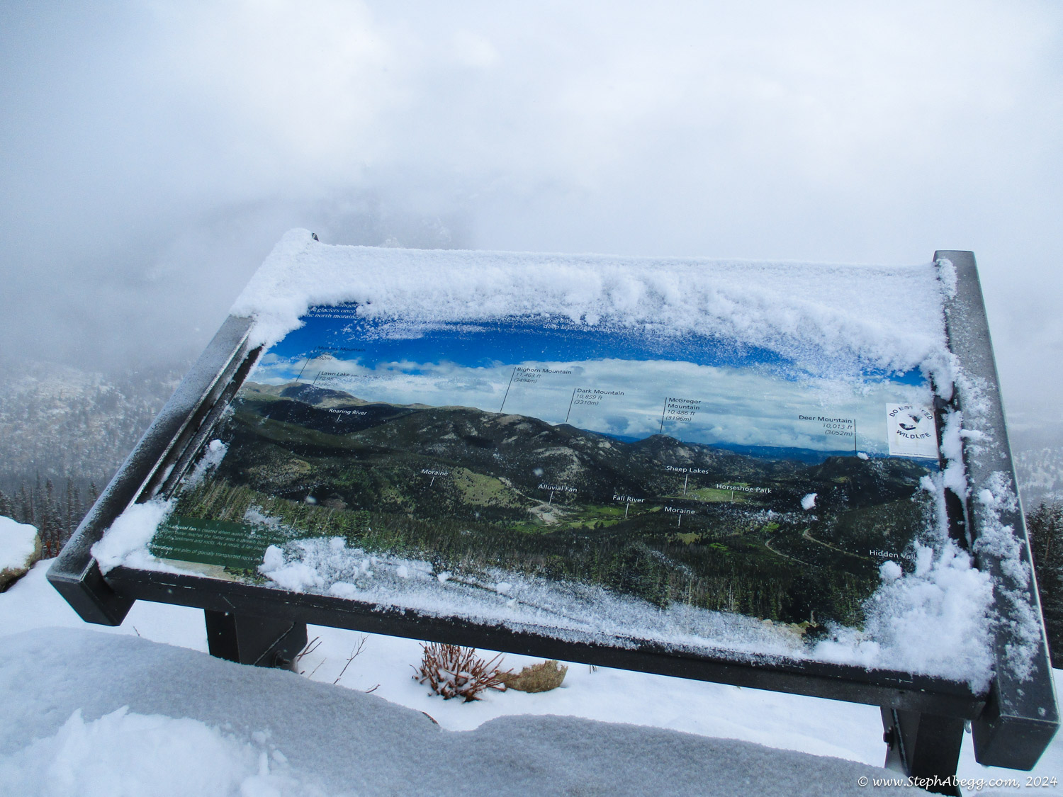
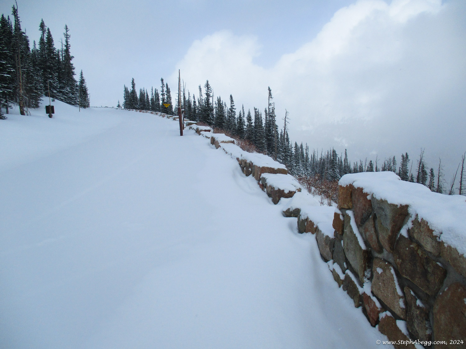
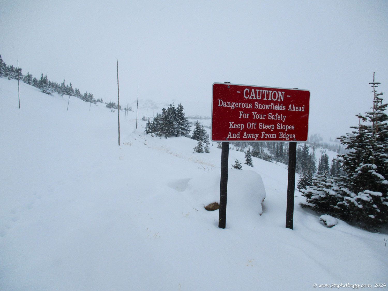
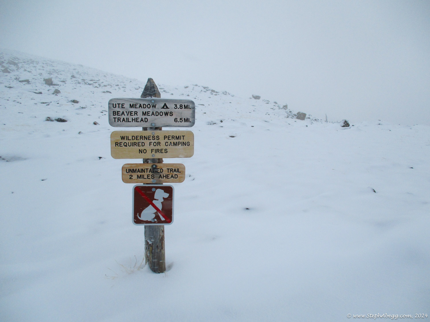
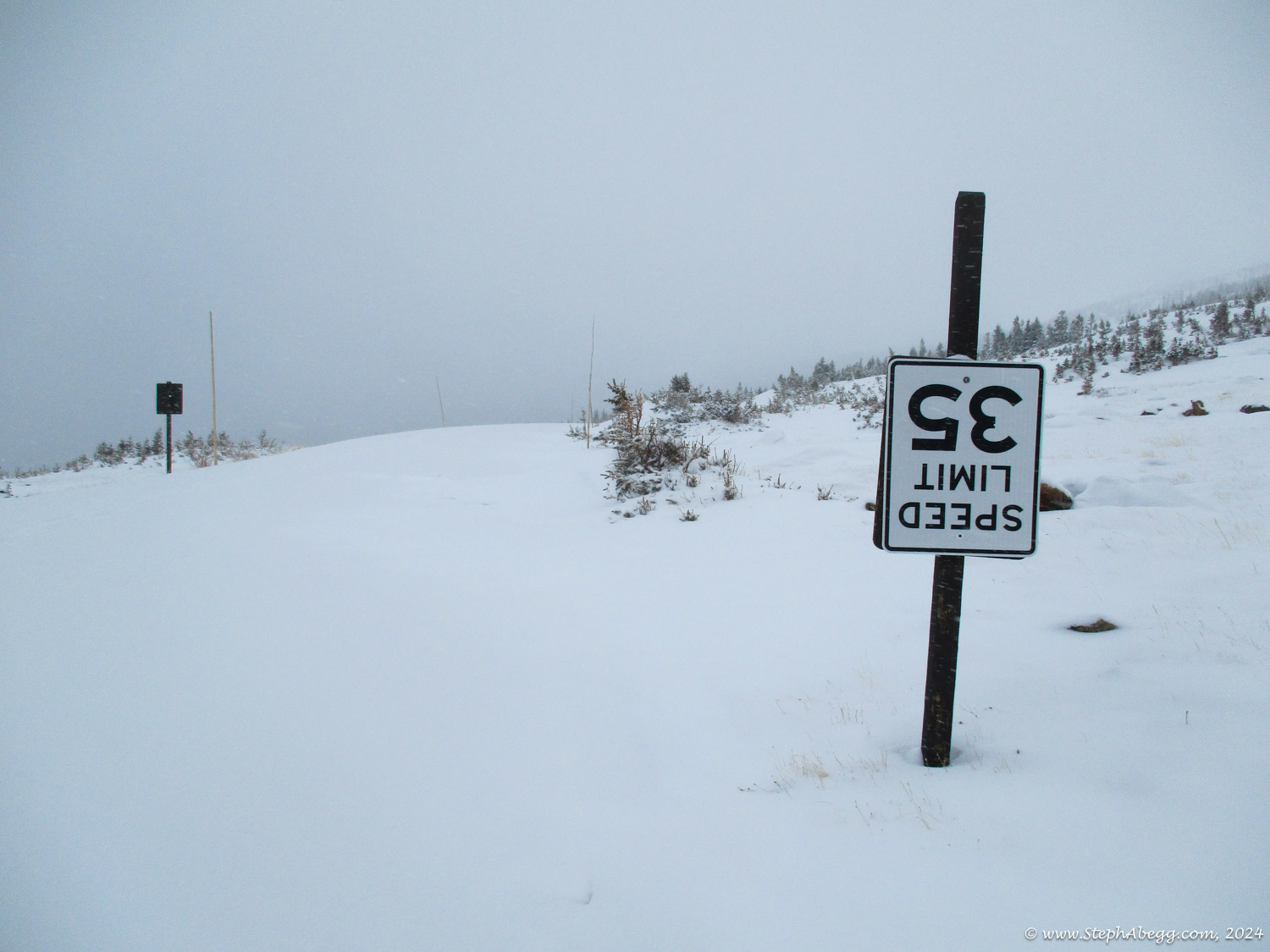
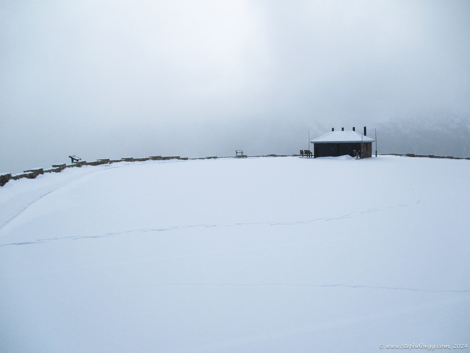
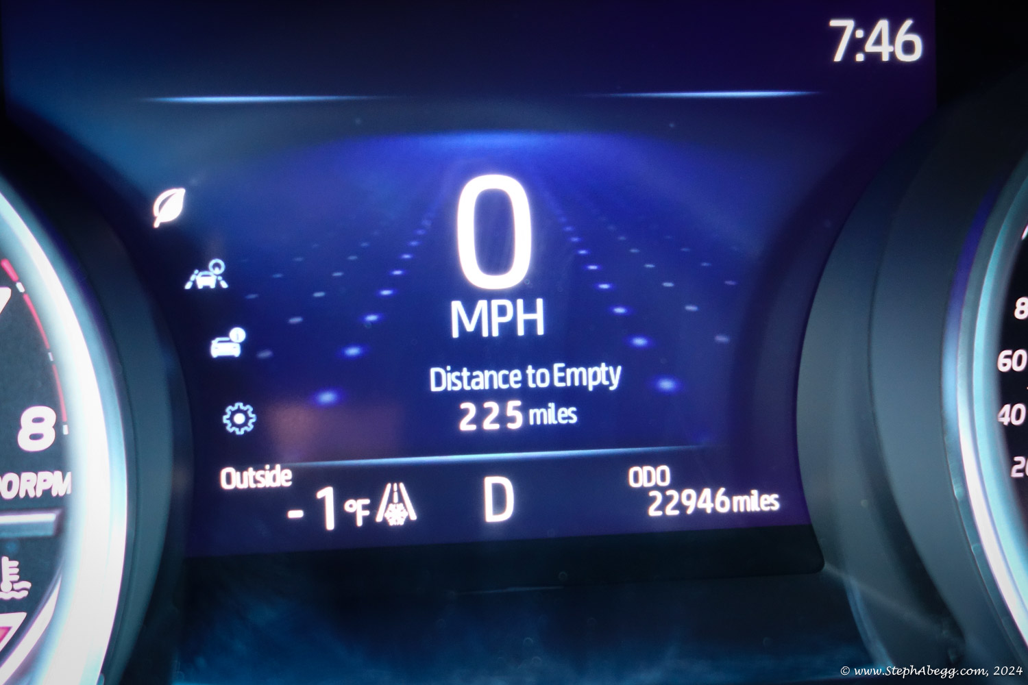
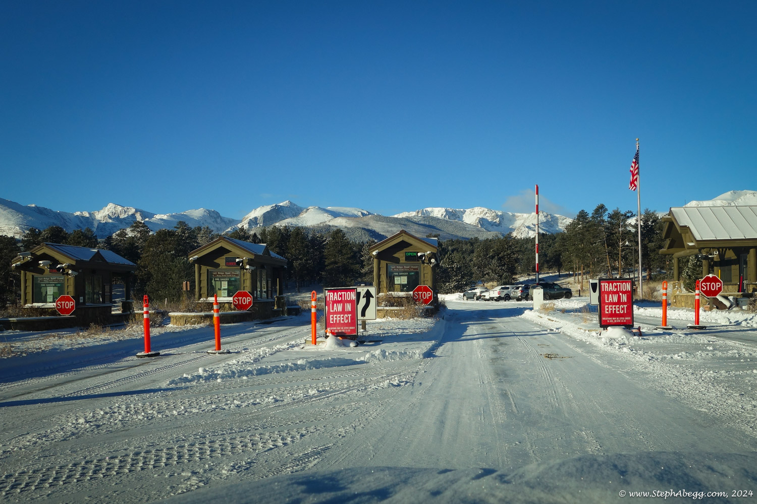
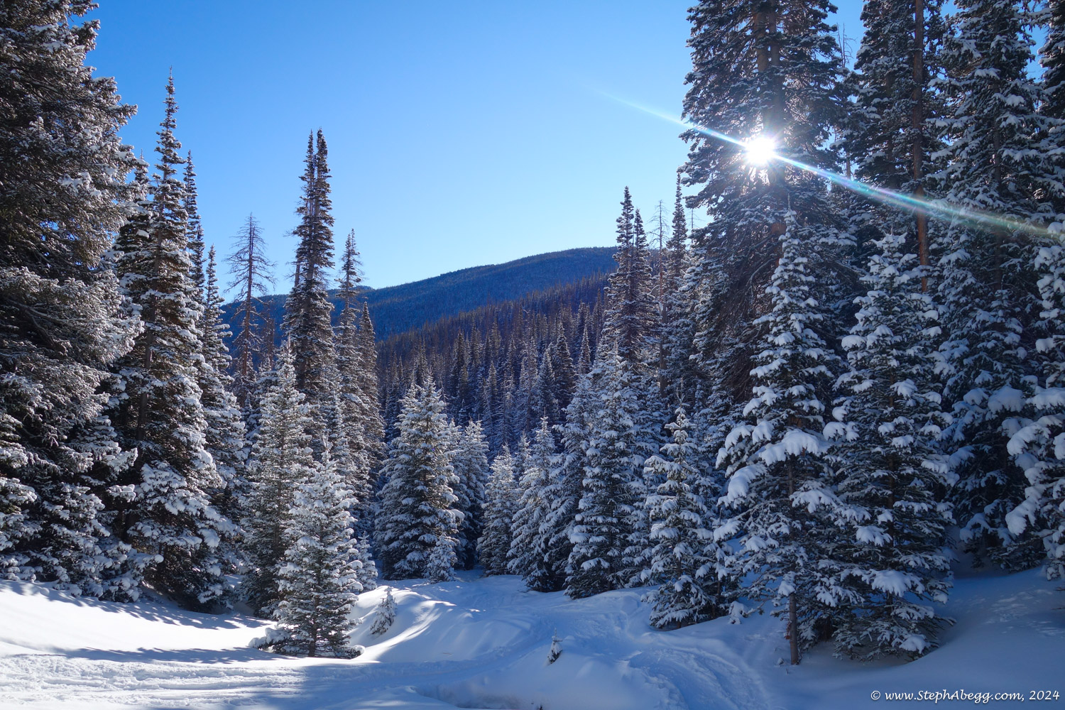
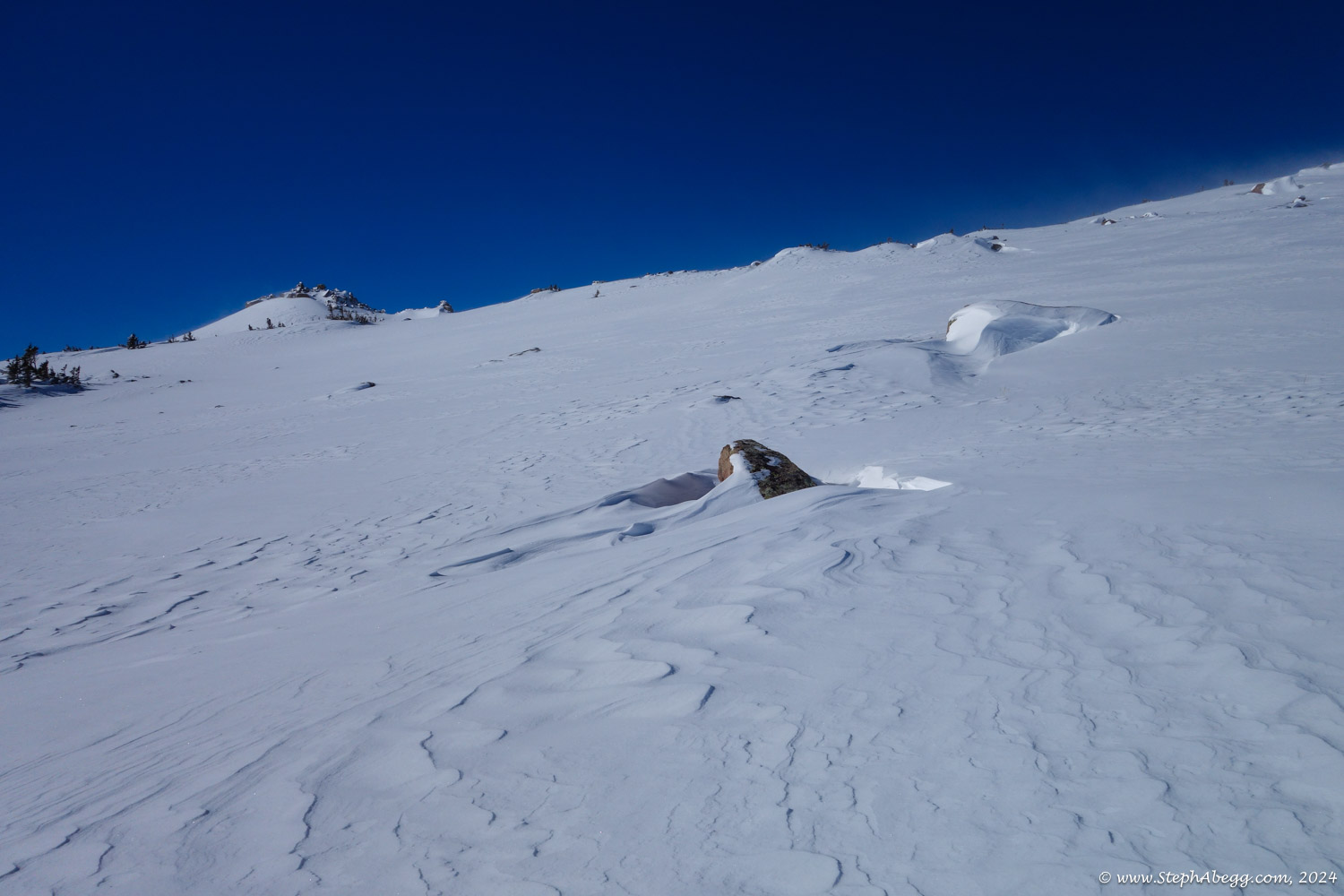
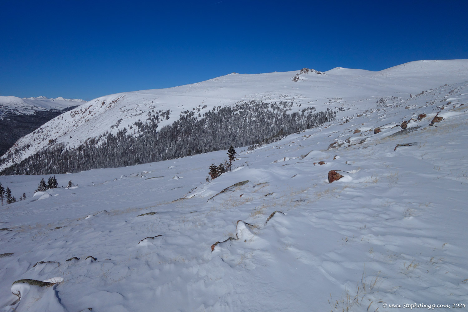
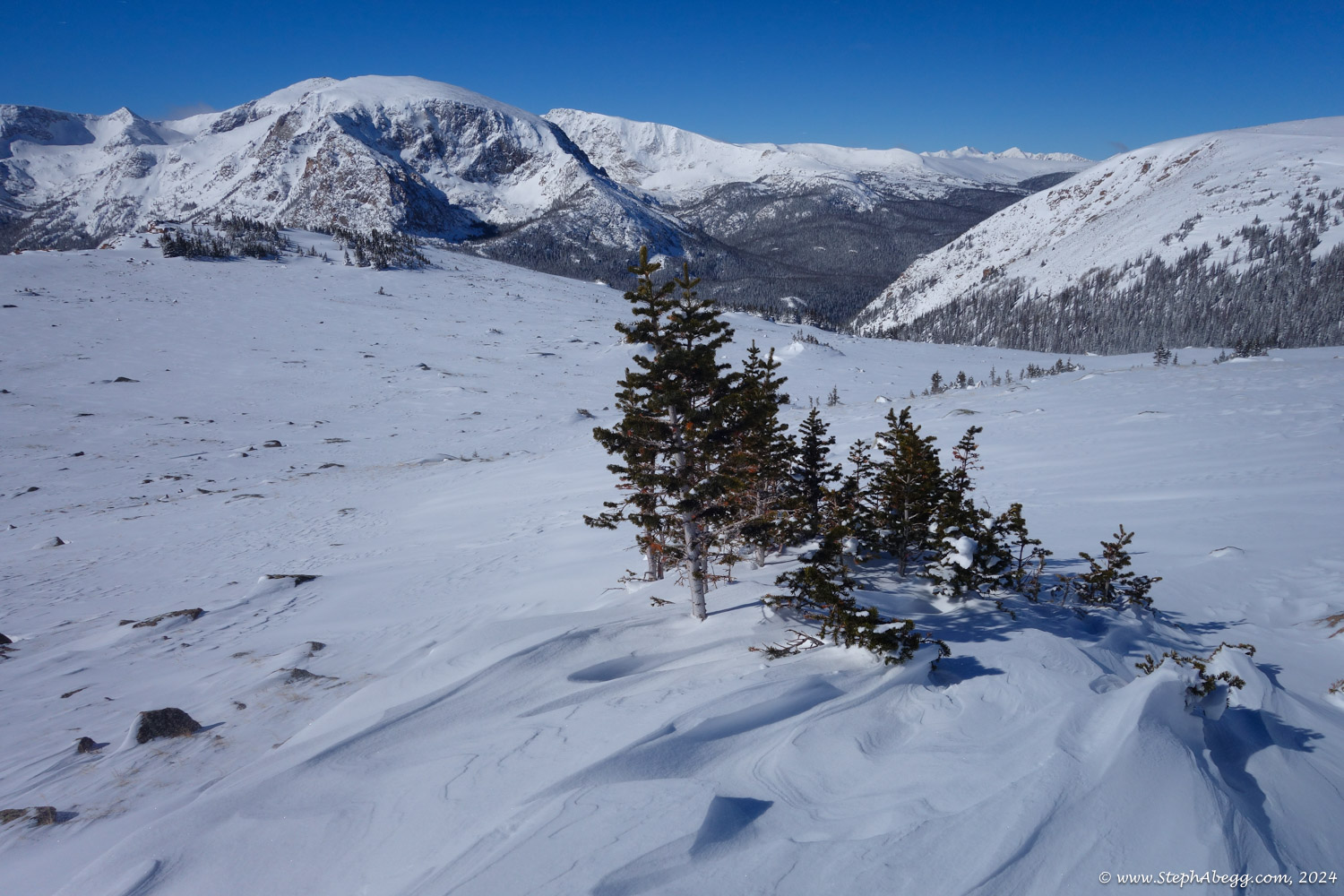
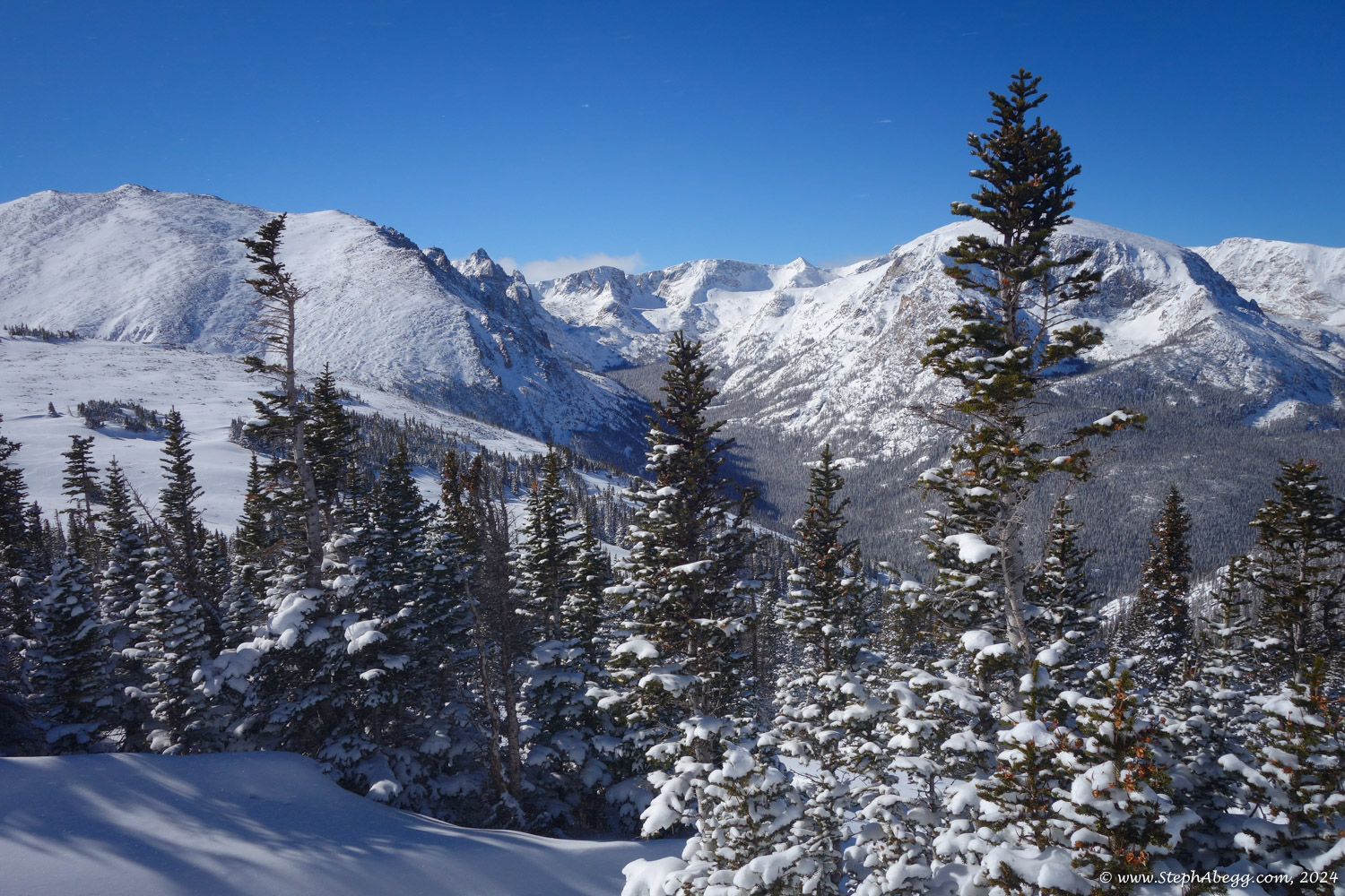
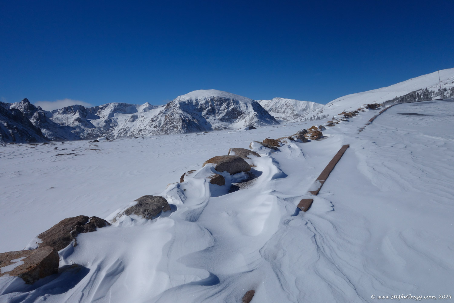
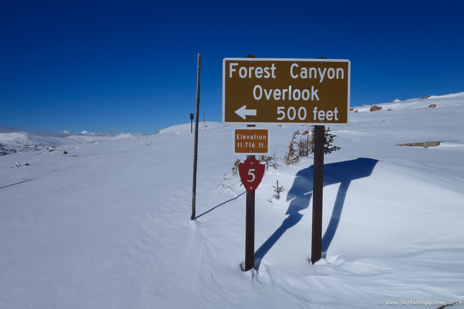
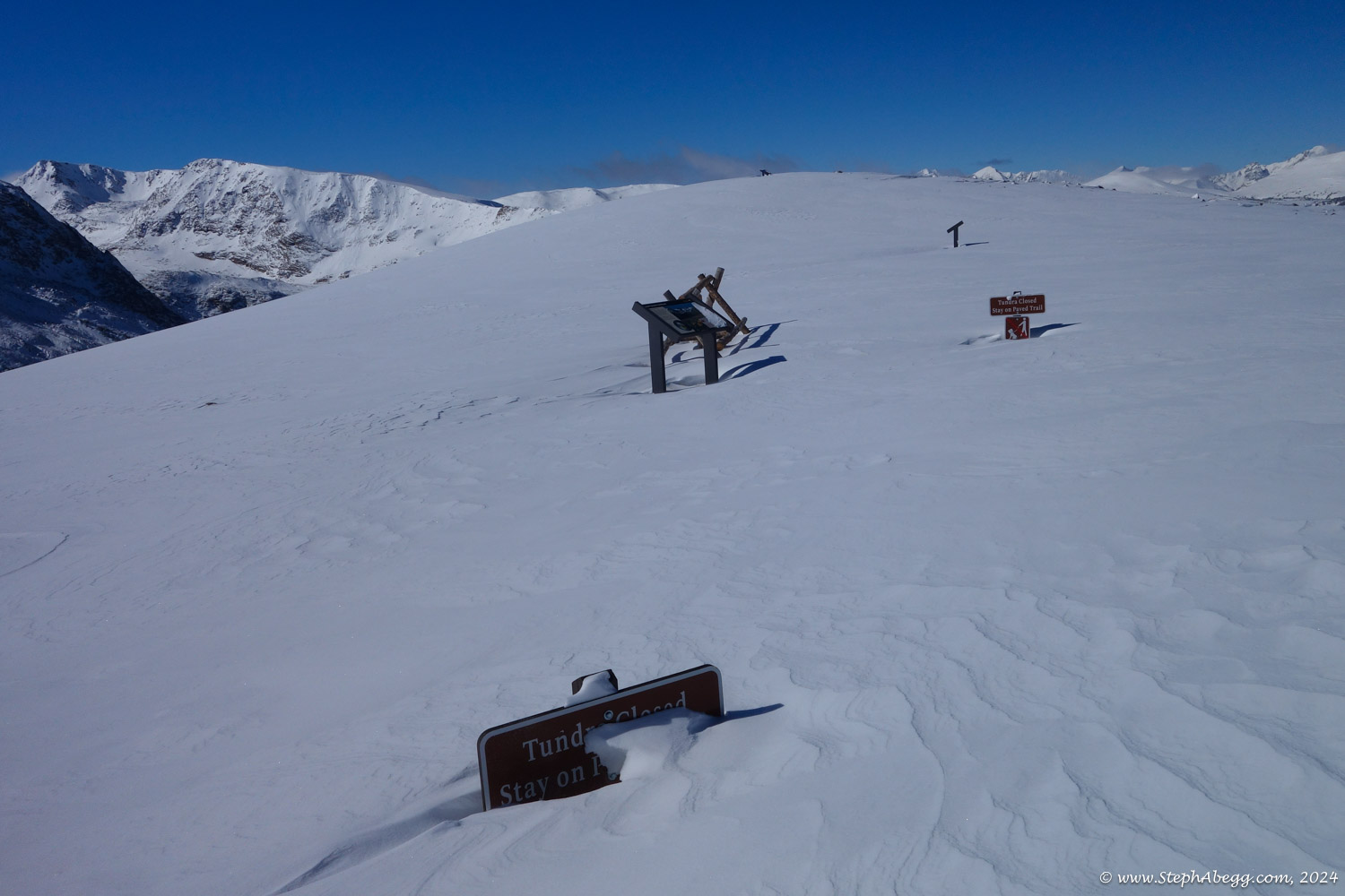
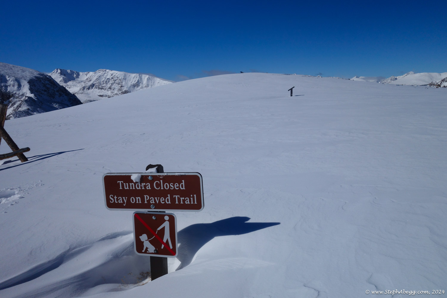
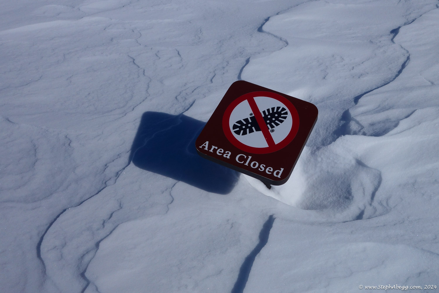
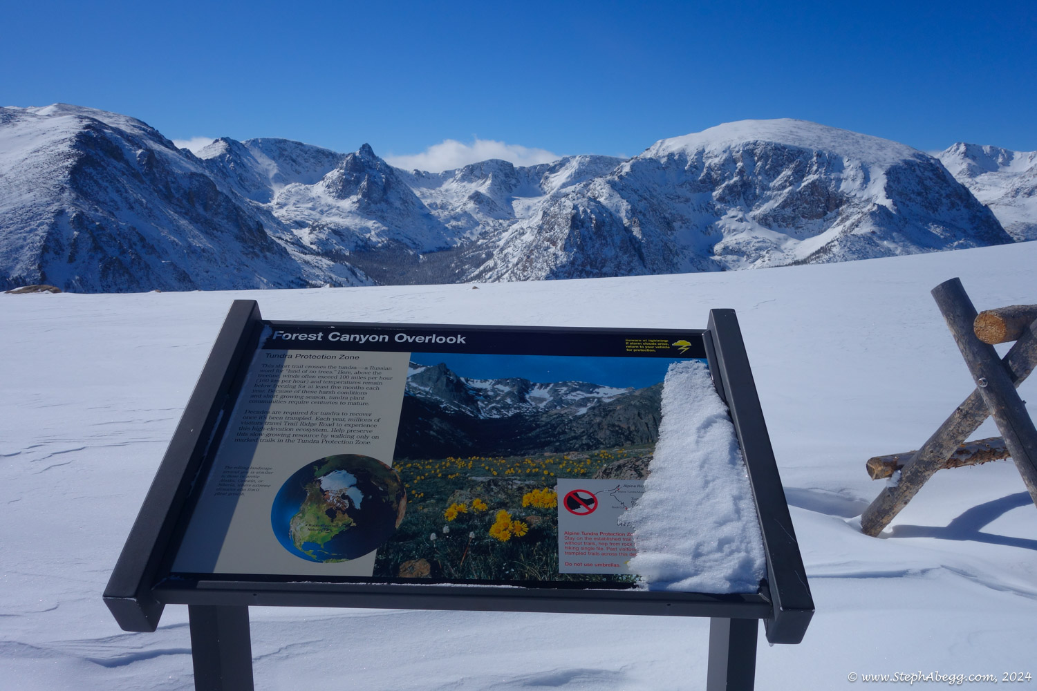
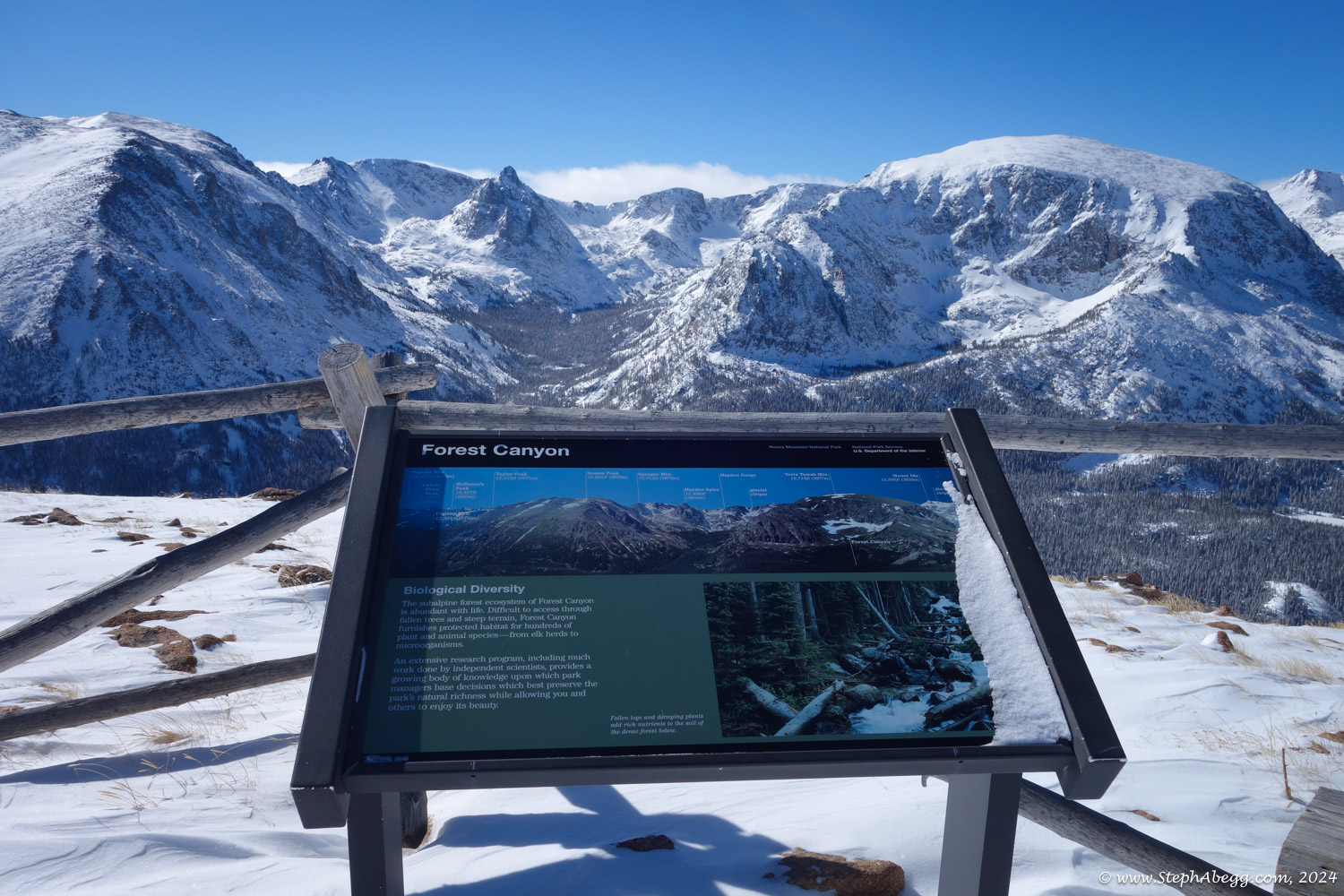
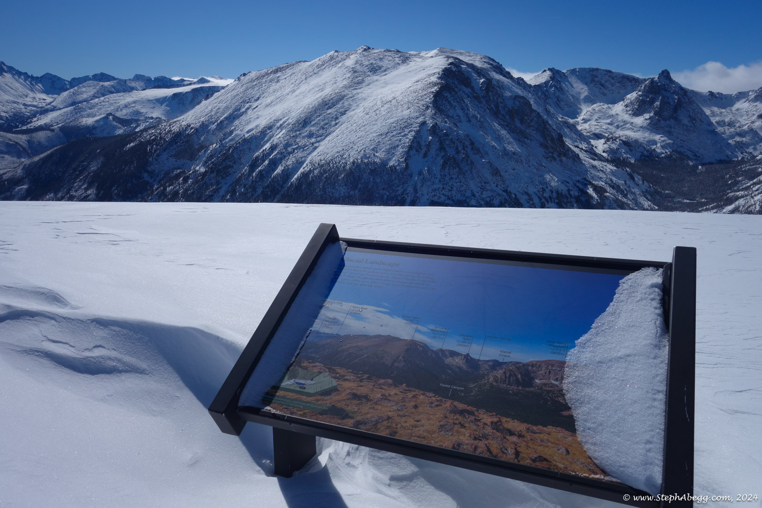
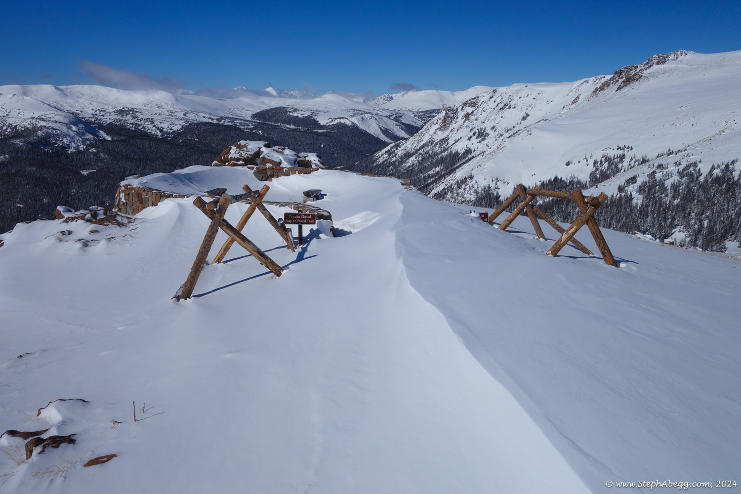
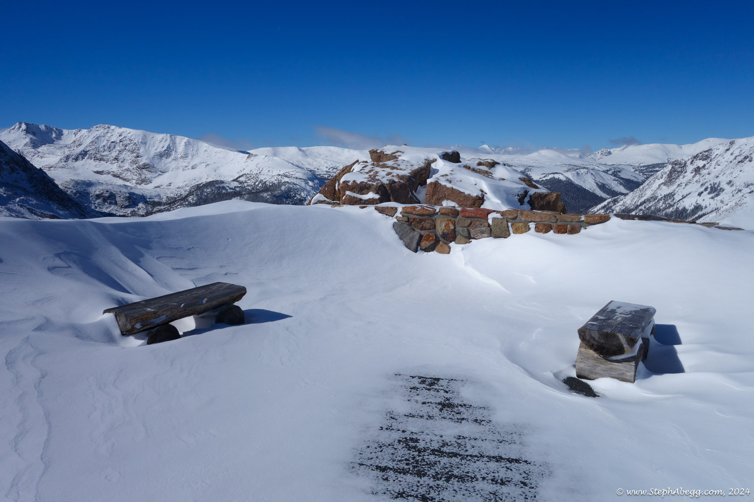
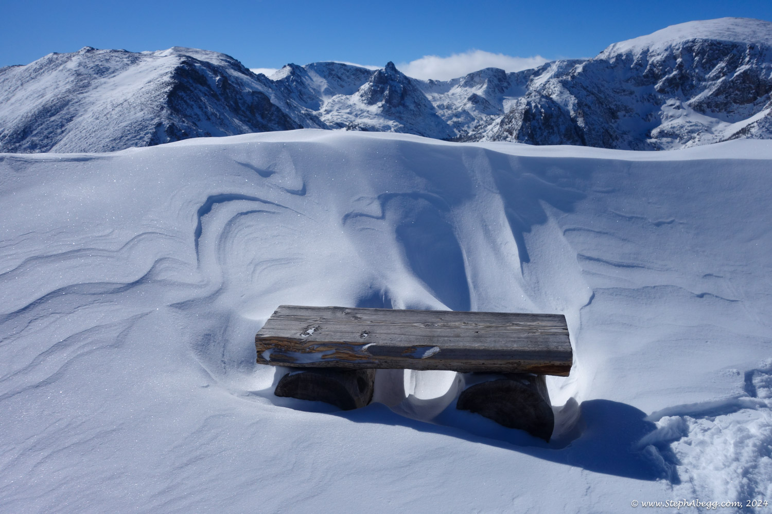
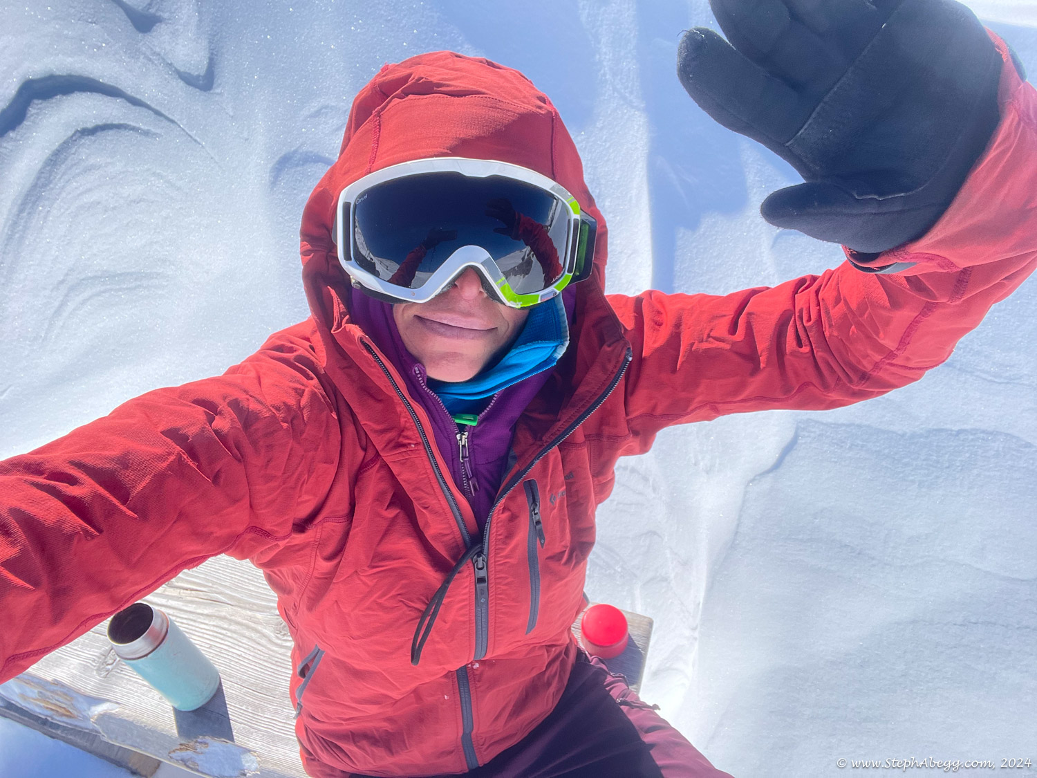
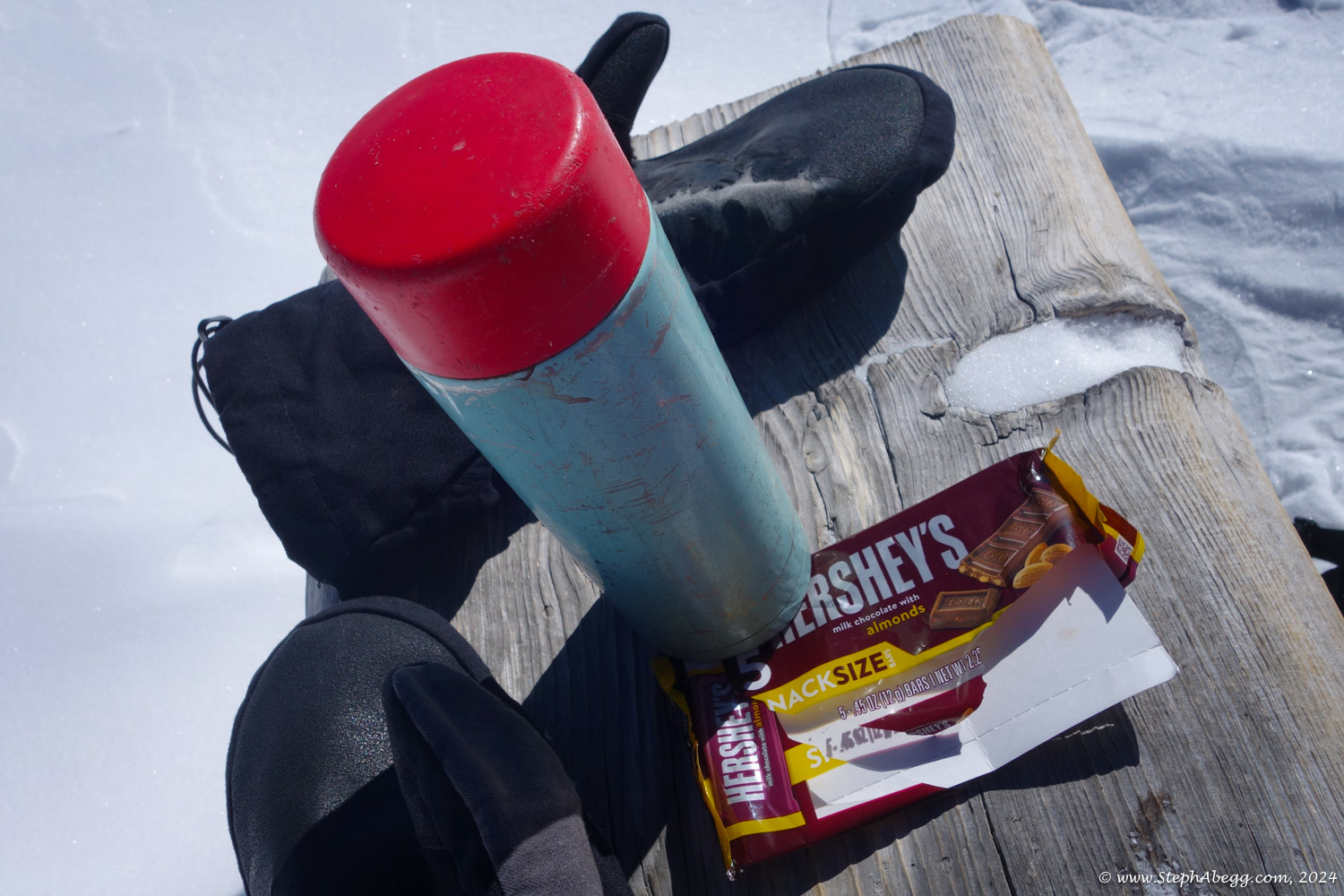
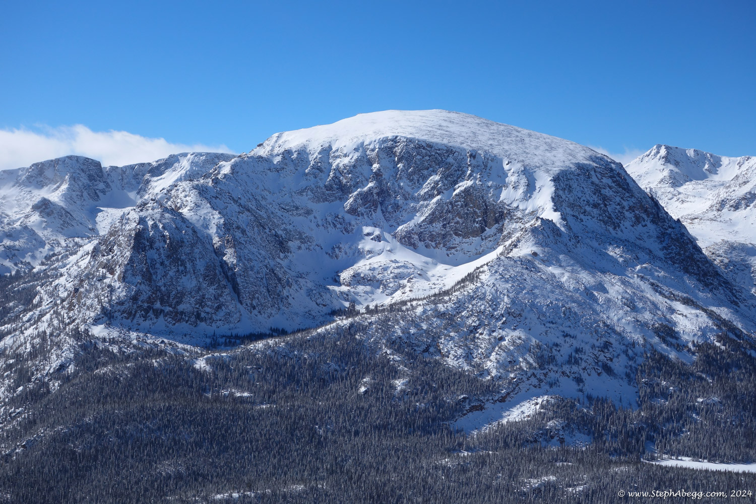
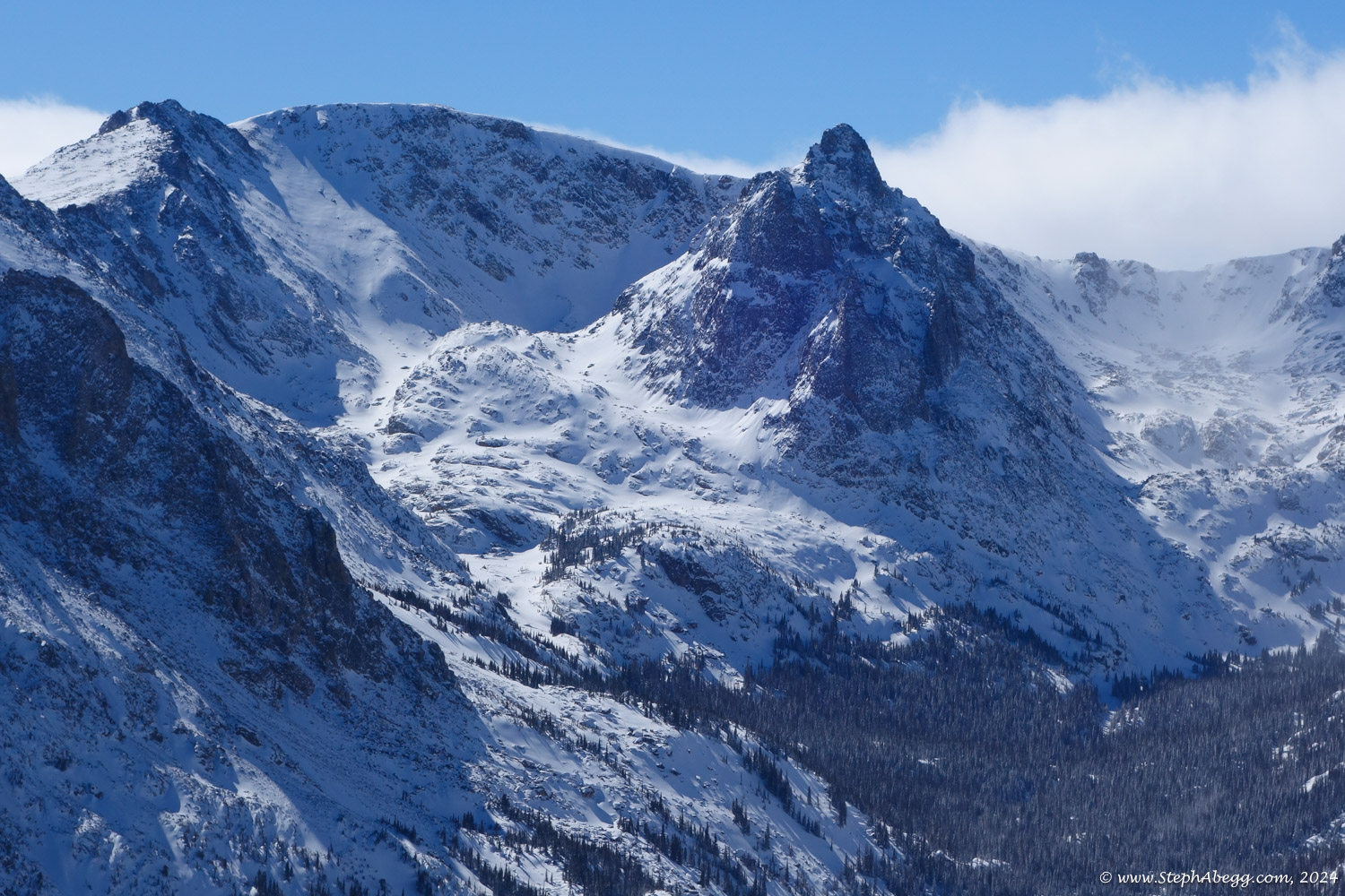
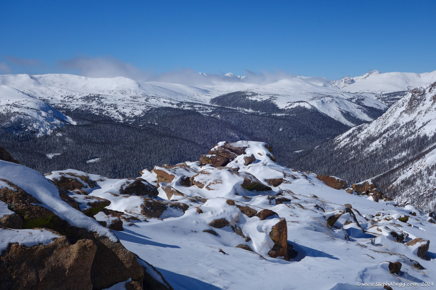
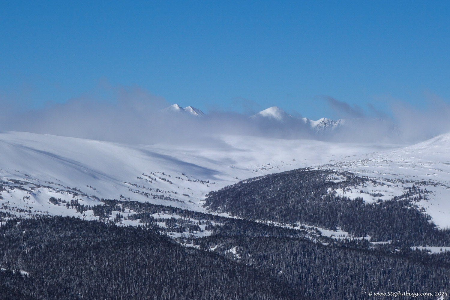
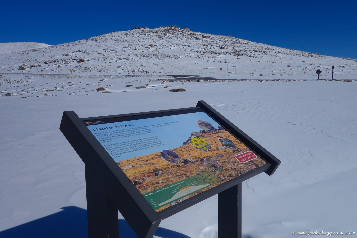
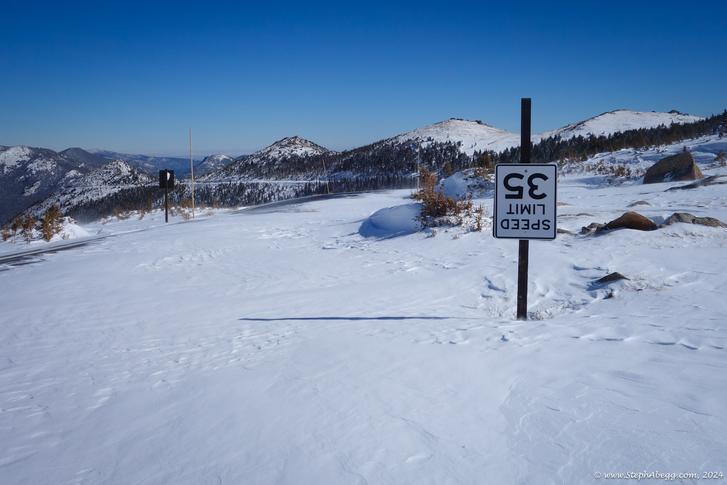
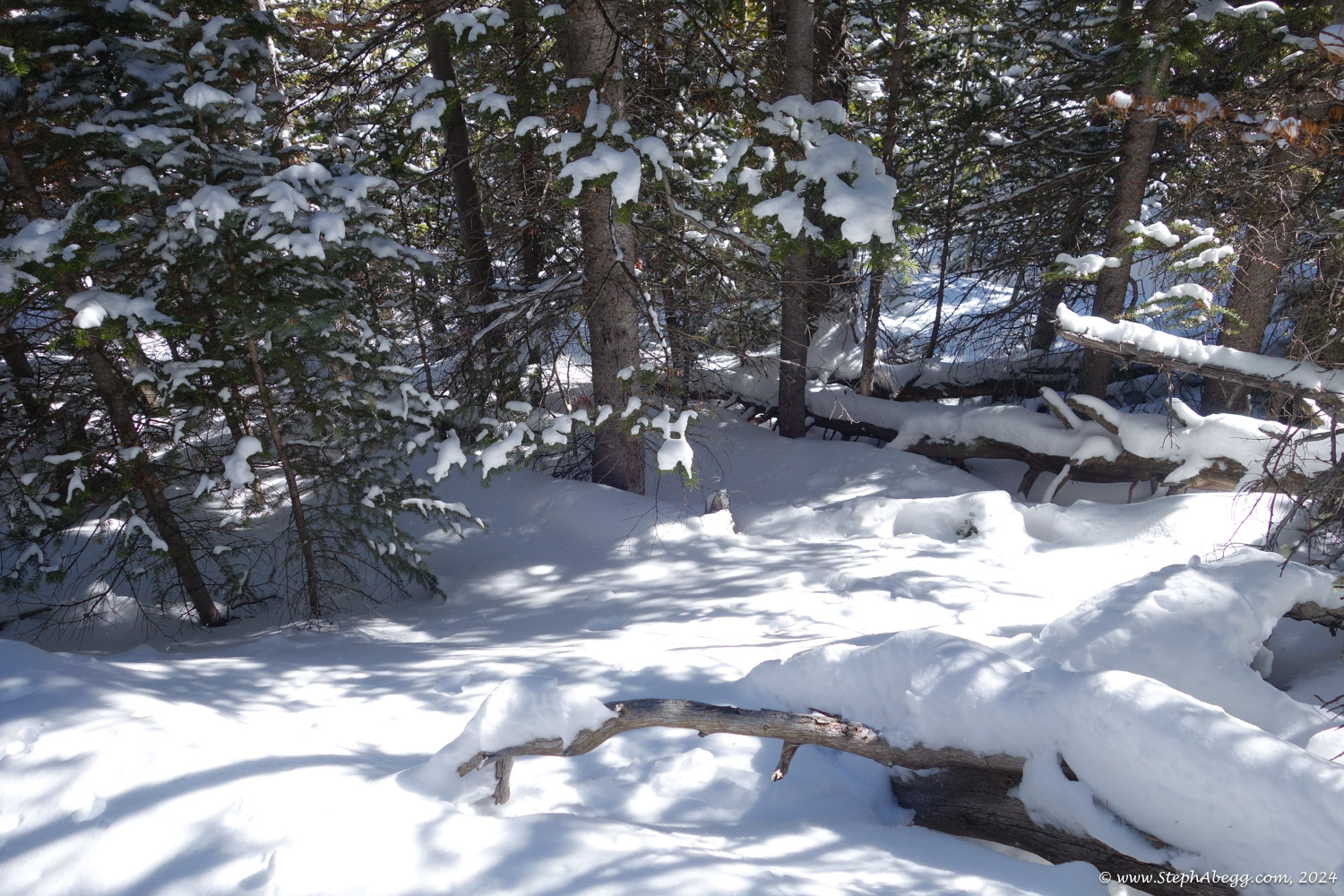
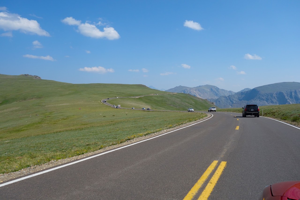
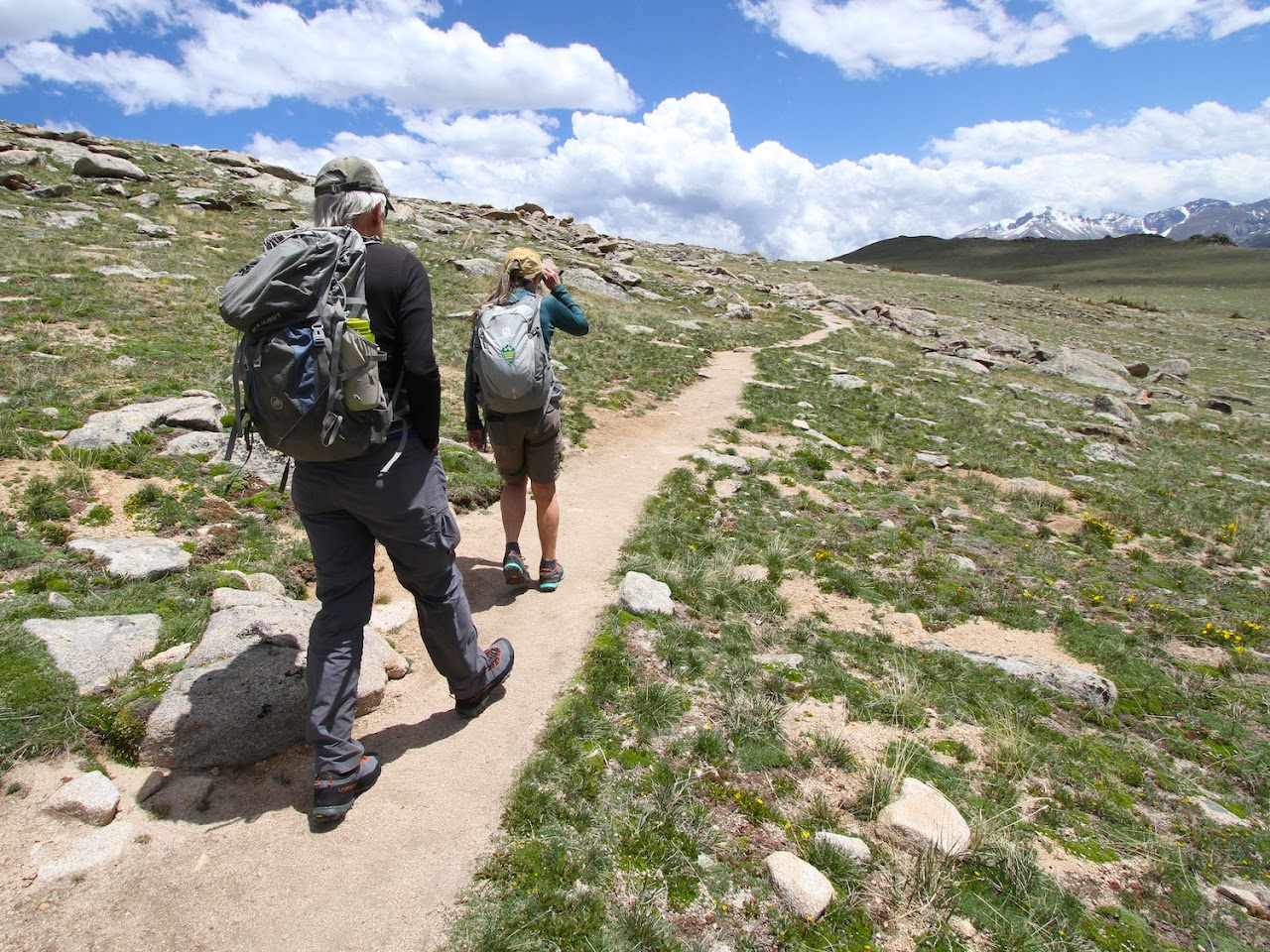
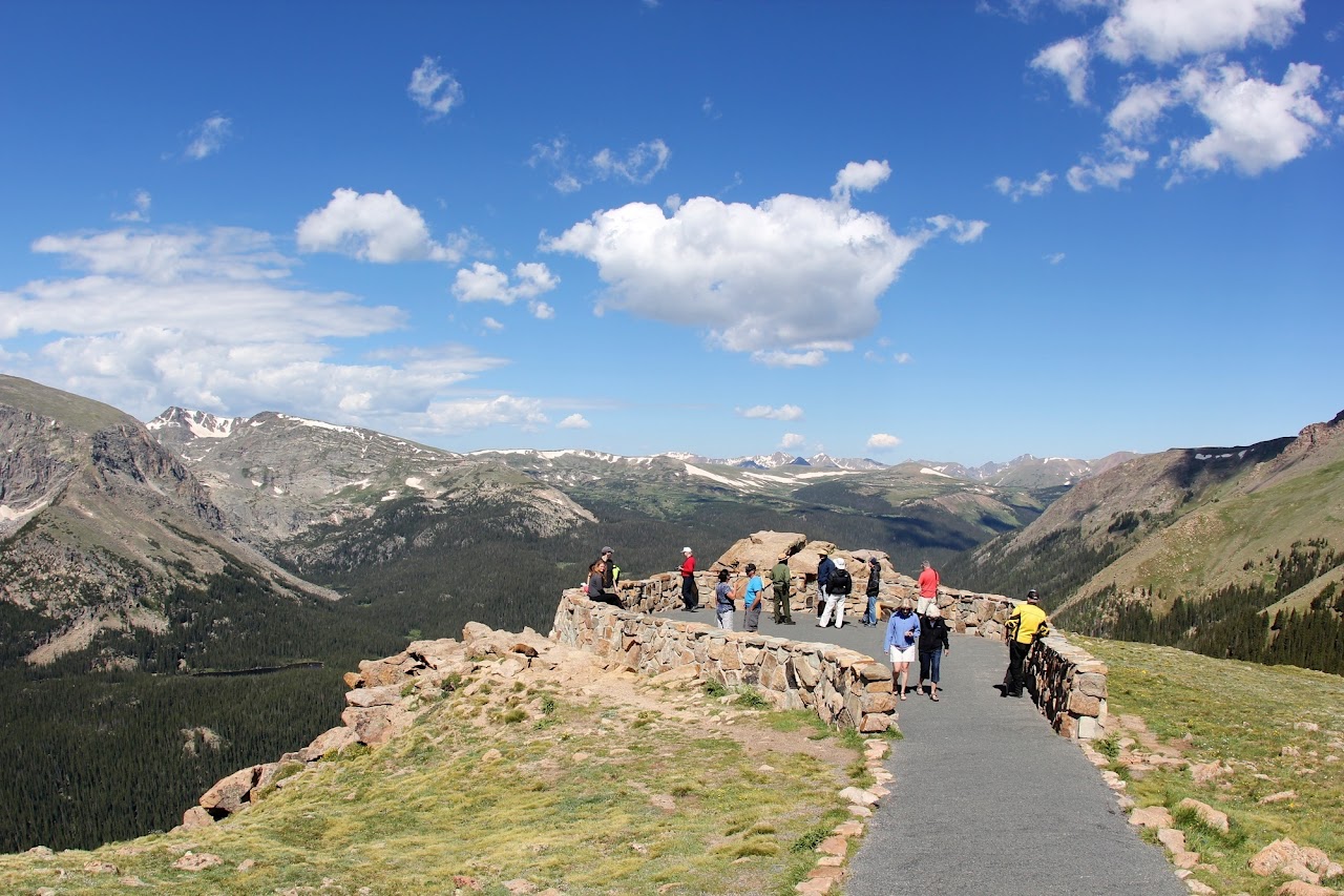
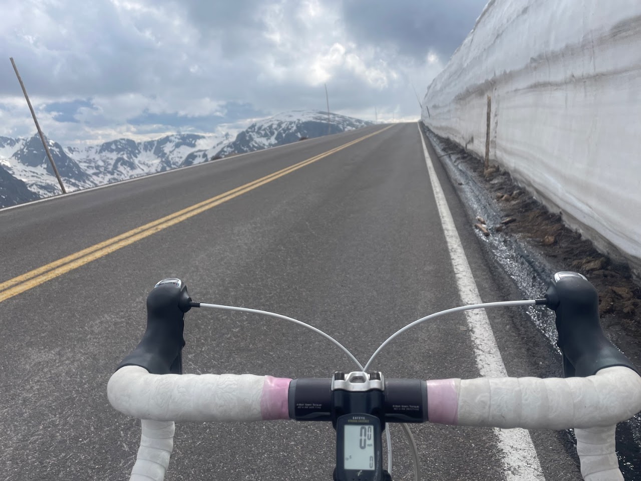
Below are some photos.

Photos

Intro

The previous weekend, I had snowshoed up to the Ute Crossing on a snow-covered Trail Ridge Road. But it was a snowy day without a single mountain view. So I made a note to come back on a bluebird day. A week later I did.

It had snowed about a foot in the mountains over Thursday and Friday. With the cold temperatures, the snow was light and fluffy. I started from Lower Hidden Valley as I had the previous week, but when I got to Trail Ridge Road, I was still early enough that no skiers were coming down yet, so I just continued directly up the right margin of the slopes of Upper Hidden Valley, arriving on Tombstone Ridge a couple of thousand feet later. I romped along the ridge to the Ute Crossing, and then continued up the snow-covered Trail Ridge Road to the Forest Canyon Overlook, where I enjoyed a nice break with hot chocolate and chocolate and a view. Then I headed back down, deciding to make a loop by taking Trail Ridge Road to Rainbow Curve, and shortly after that bee-lining straight down the steep (and at times a bit thick) forest back to the Hidden Valley parking area.

It was a glorious winter day with 360° views of snow-caked peaks. Besides from a few skiers I passed on the slog up the slopes of Hidden Valley and over 100 people at the parking lot when I returned at the end of my adventure, I did not see a single soul.

The entire adventure took me 5 hours and 53 minutes. This included a nice 30 minute break at the Forest Canyon Overlook.

Below are several photos from my glorious snowshoe high in RMNP.

Photos

Summer Photos

Some summer photos of Trail Ridge Road and Ute Trail and Forest Canyon Overlook for comparison.

Comments Pertaining to this Page / Trip Report

Useful beta. Updated route information. Corrections. Historical notes. Interesting facts. No fluff please.
Leave a Reply

Your email address will not be published. Required fields are marked *