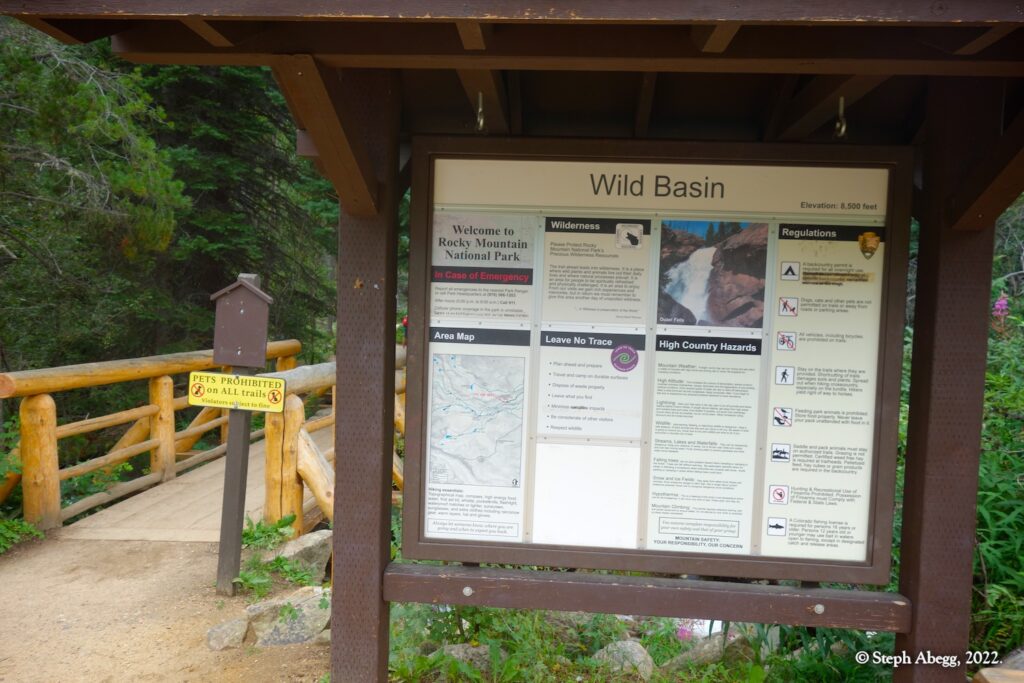
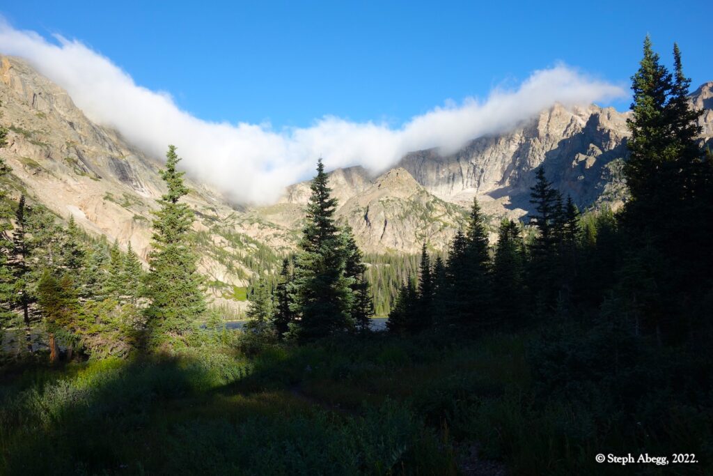
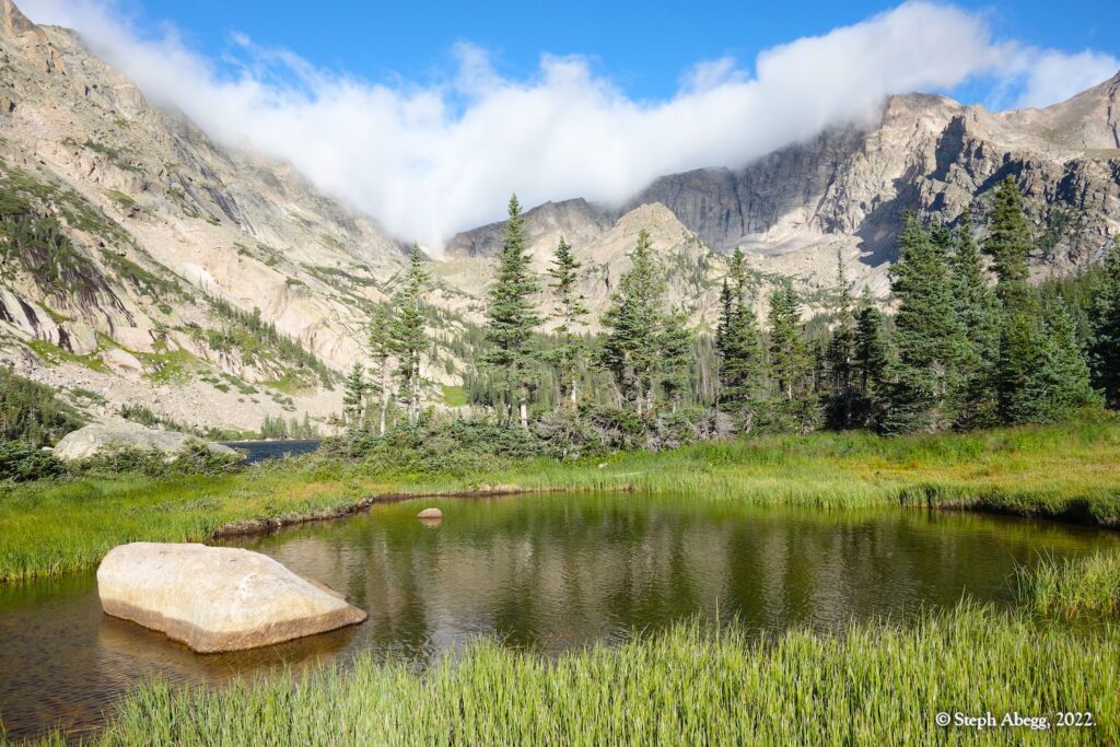
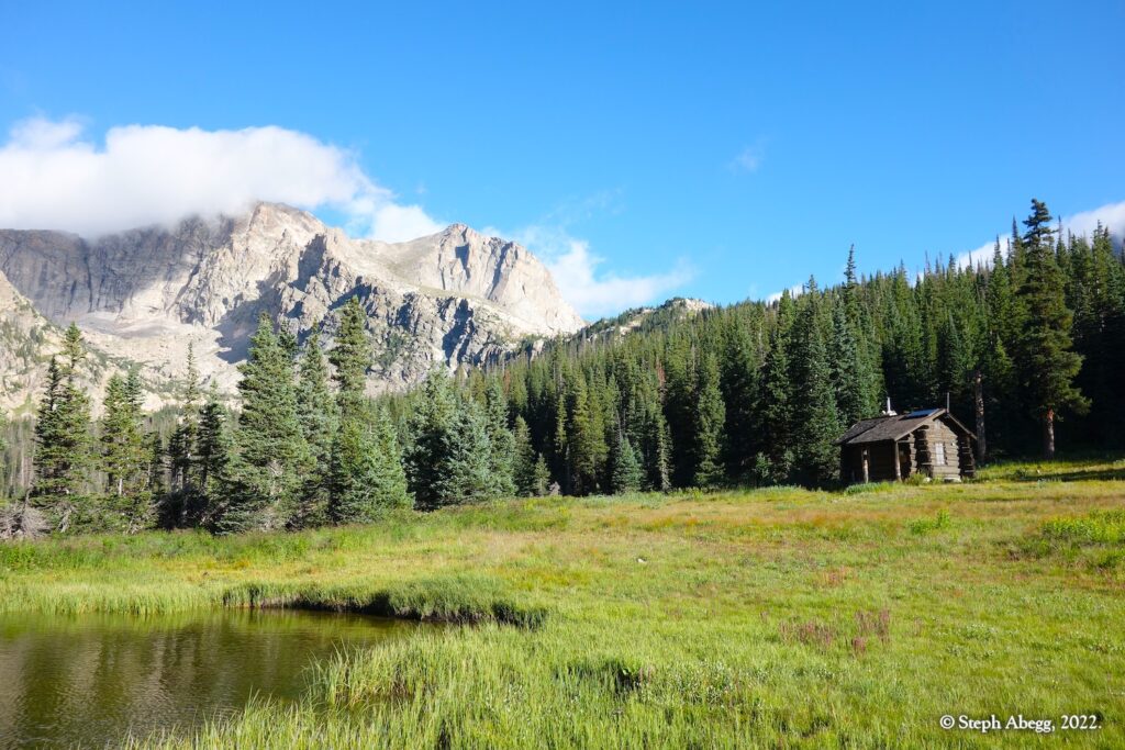
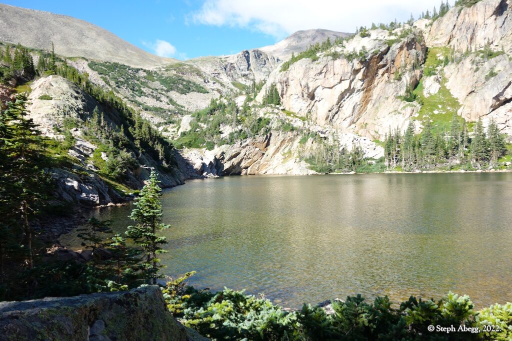
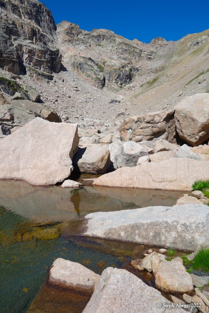
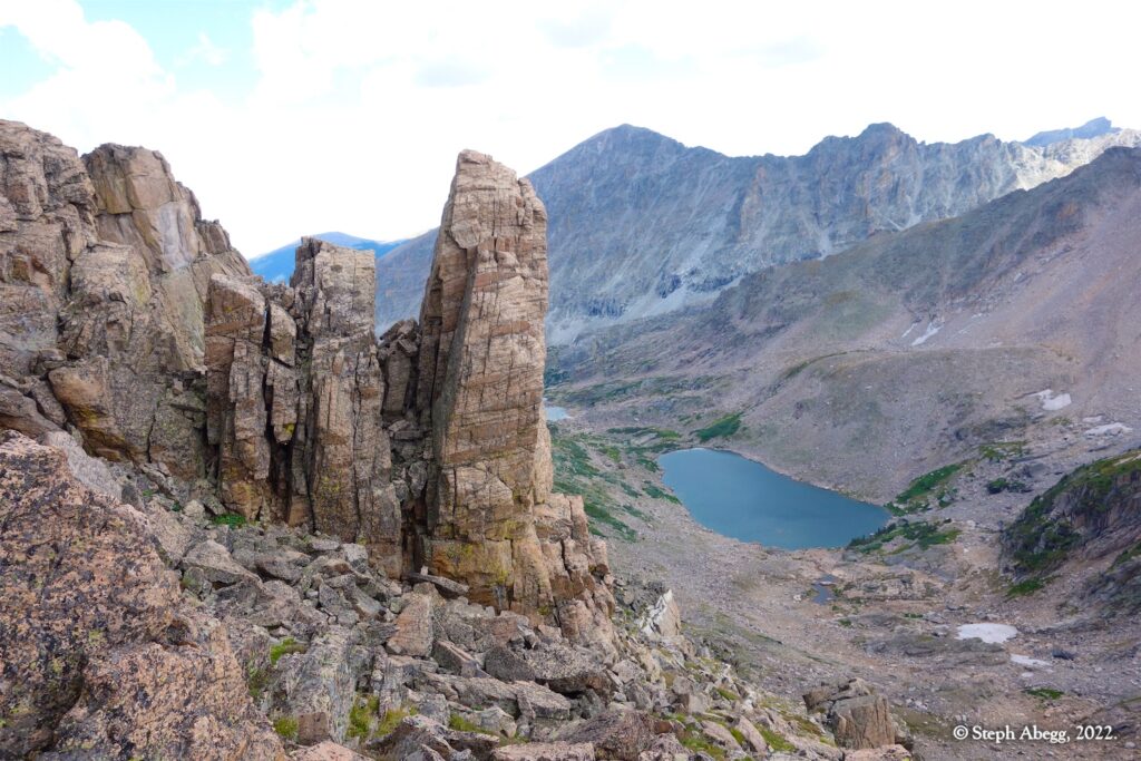
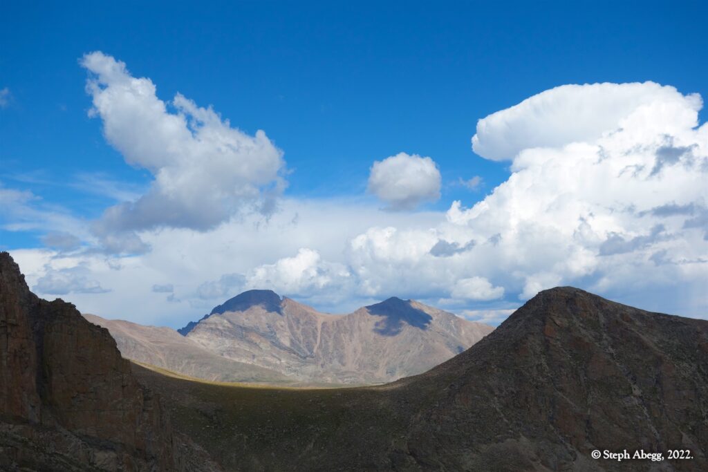
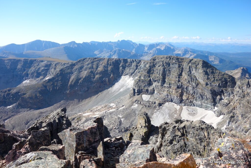
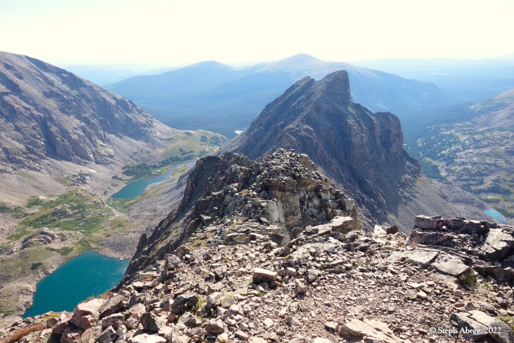
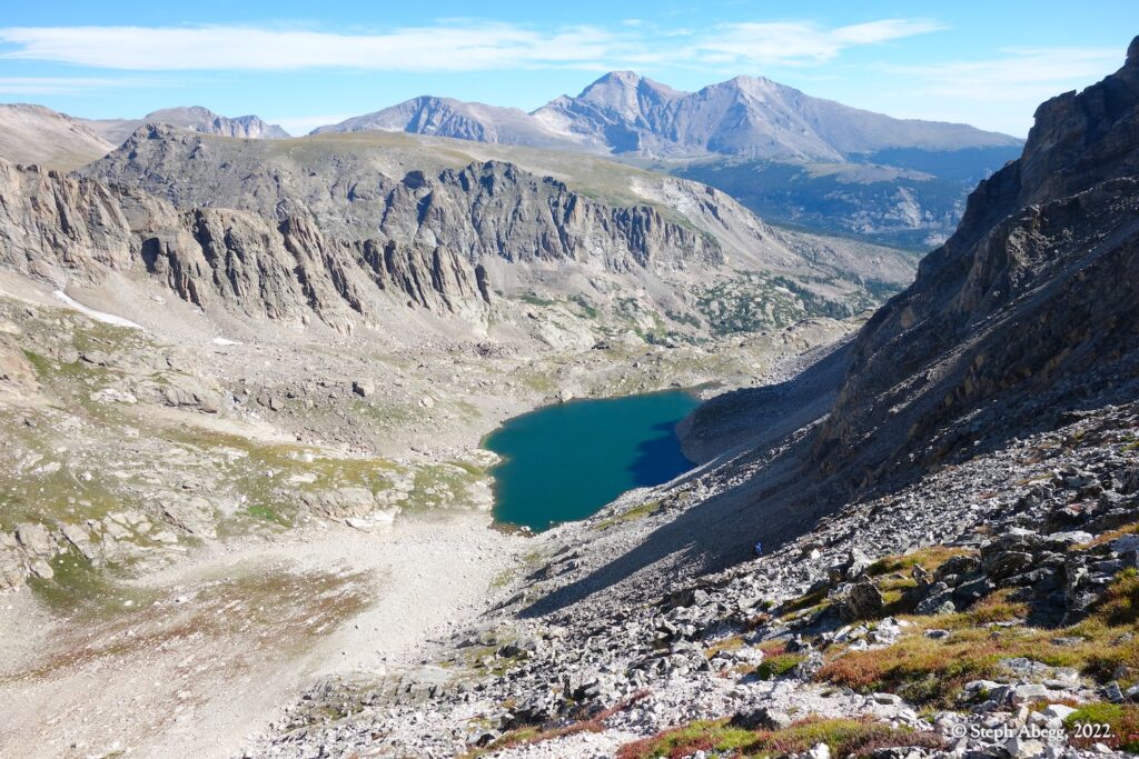
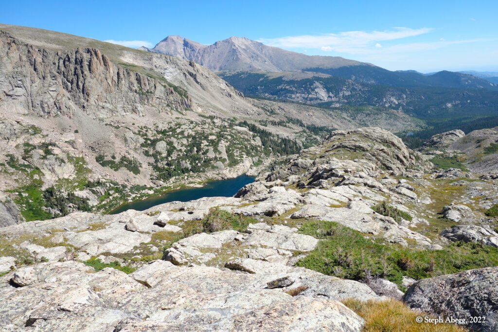
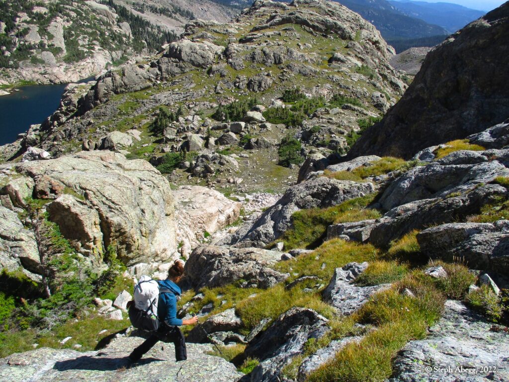
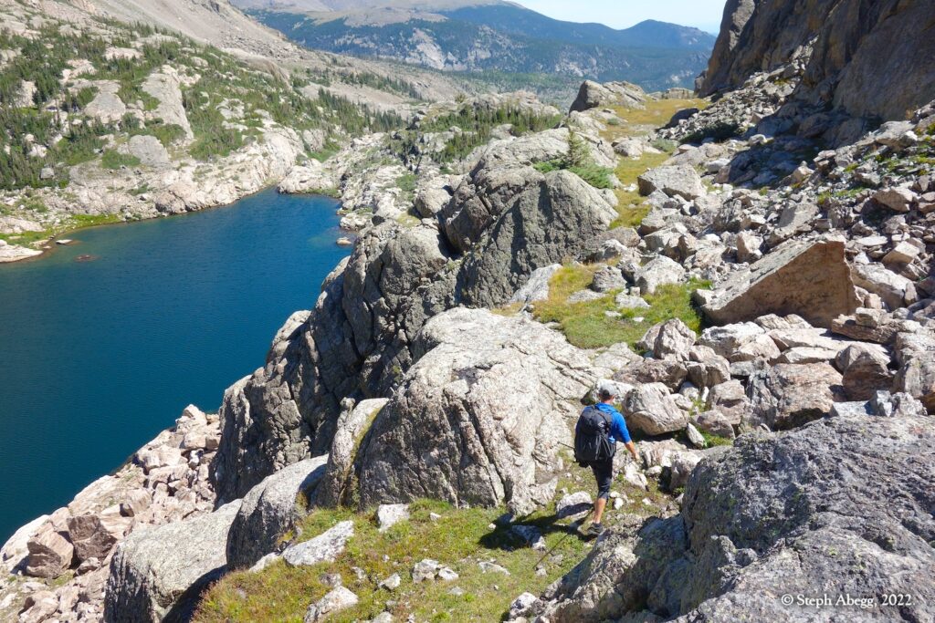
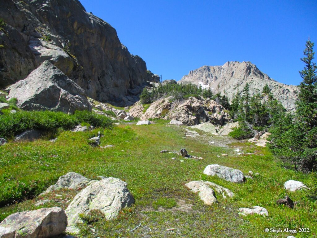
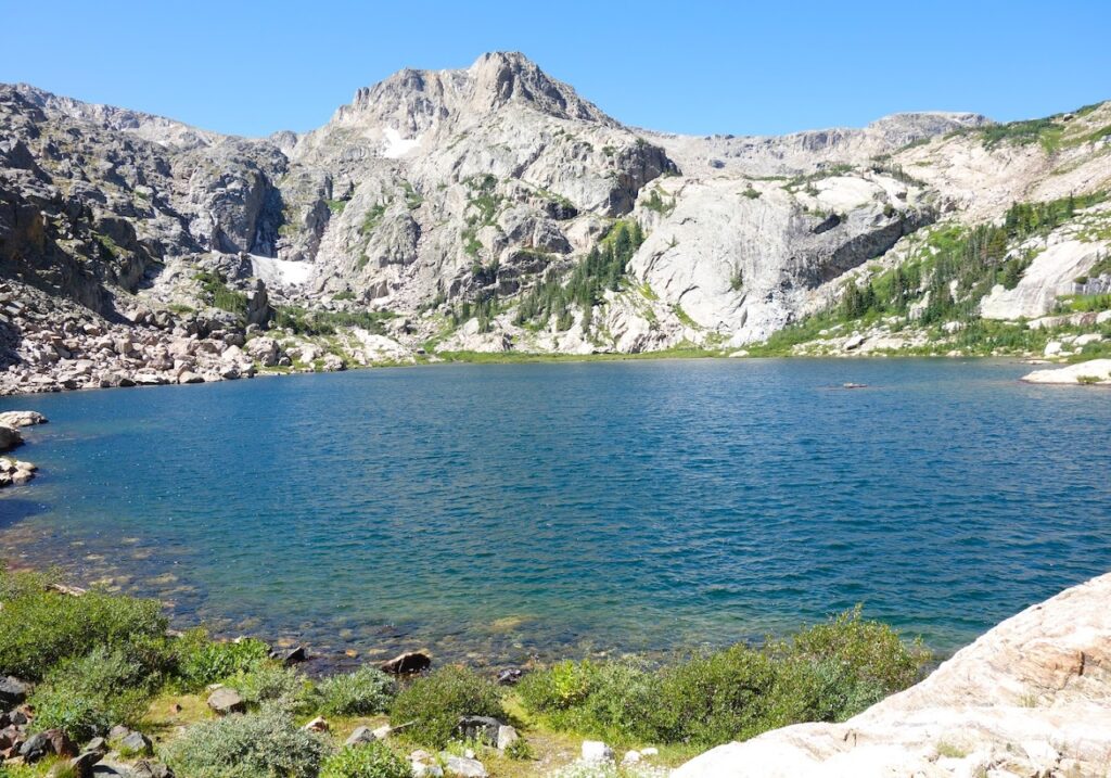
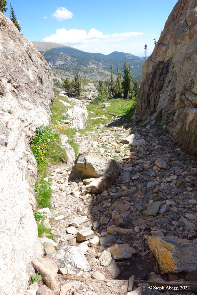
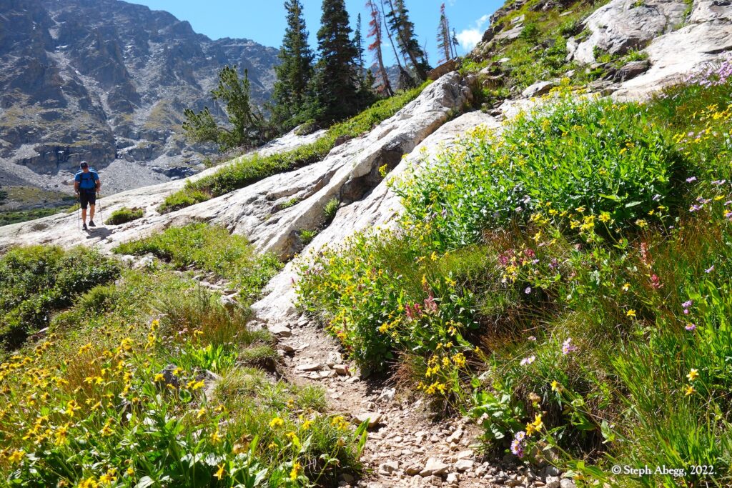
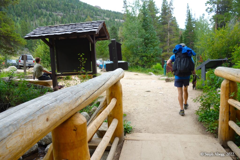
It was late August, and already there was a fall feel to the air, especially in the mountains. Nate and I wanted to fit in a nice mountain adventure before the daytime summer temperatures disappeared for good. We had discussed Wild Basin, located in the southeast corner of Rocky Mountain National Park. Aptly named, Wild Basin is replete with wildlife, rushing rivers, roaring waterfalls, sparking alpine lakes, gleaming snowfields, remote and jagged peaks, and other hidden areas of RMNP that few visitors see. When a backcountry site at Thunder Lake opened up at the last minute, a Wild Basin trip felt meant to be. The forecast called for rain on Friday afternoon (when we would be hiking in), but mostly sunny over the weekend.
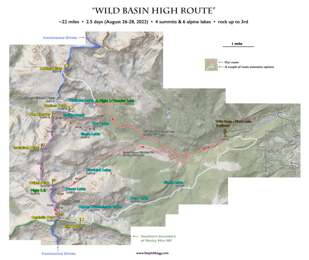
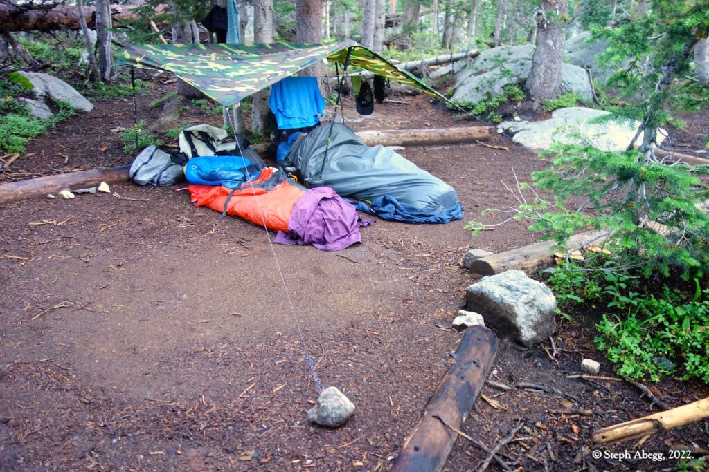
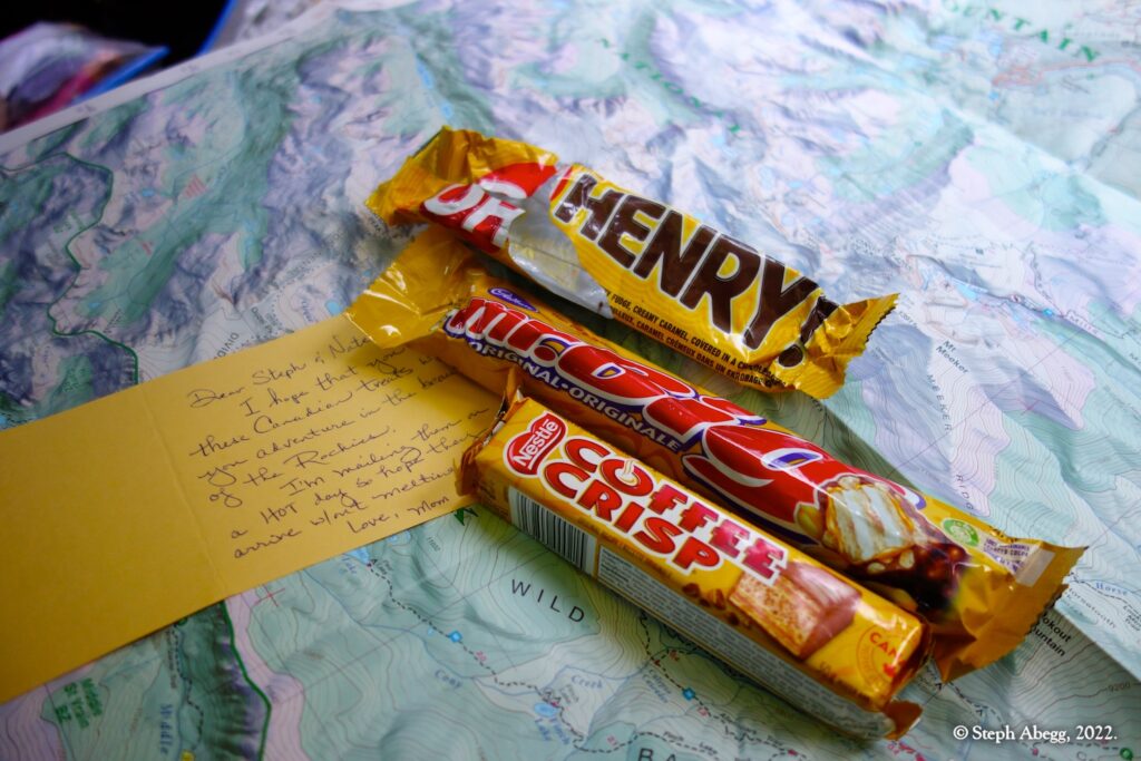
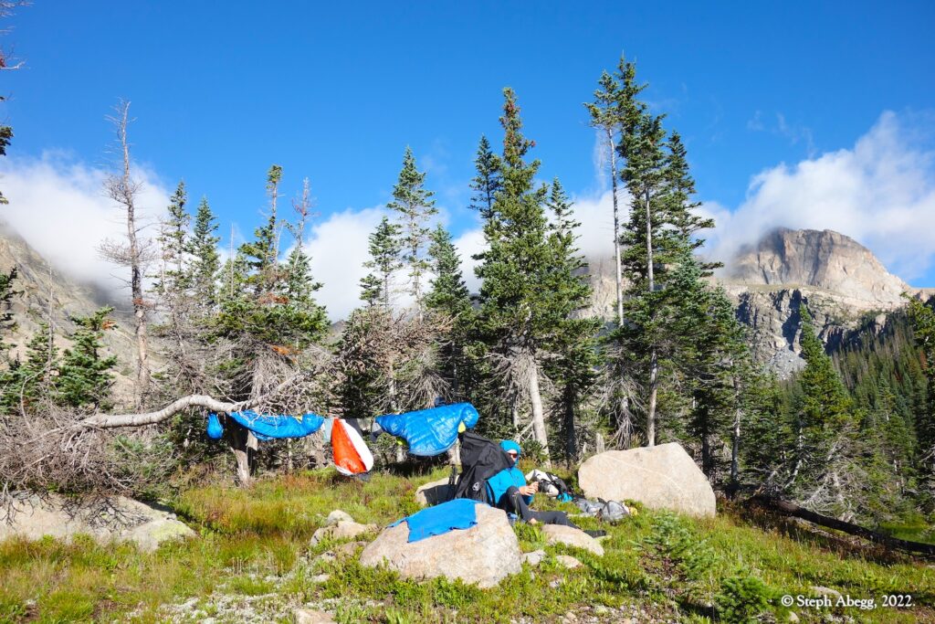
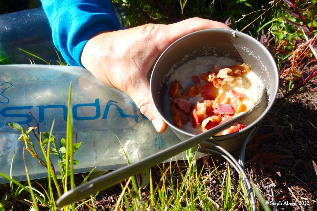
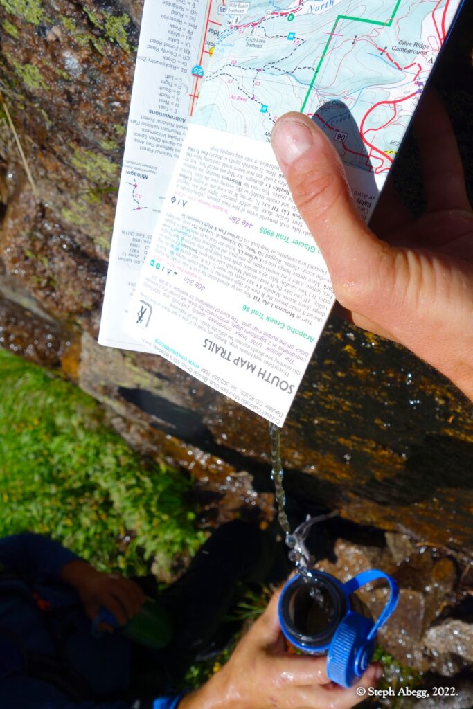
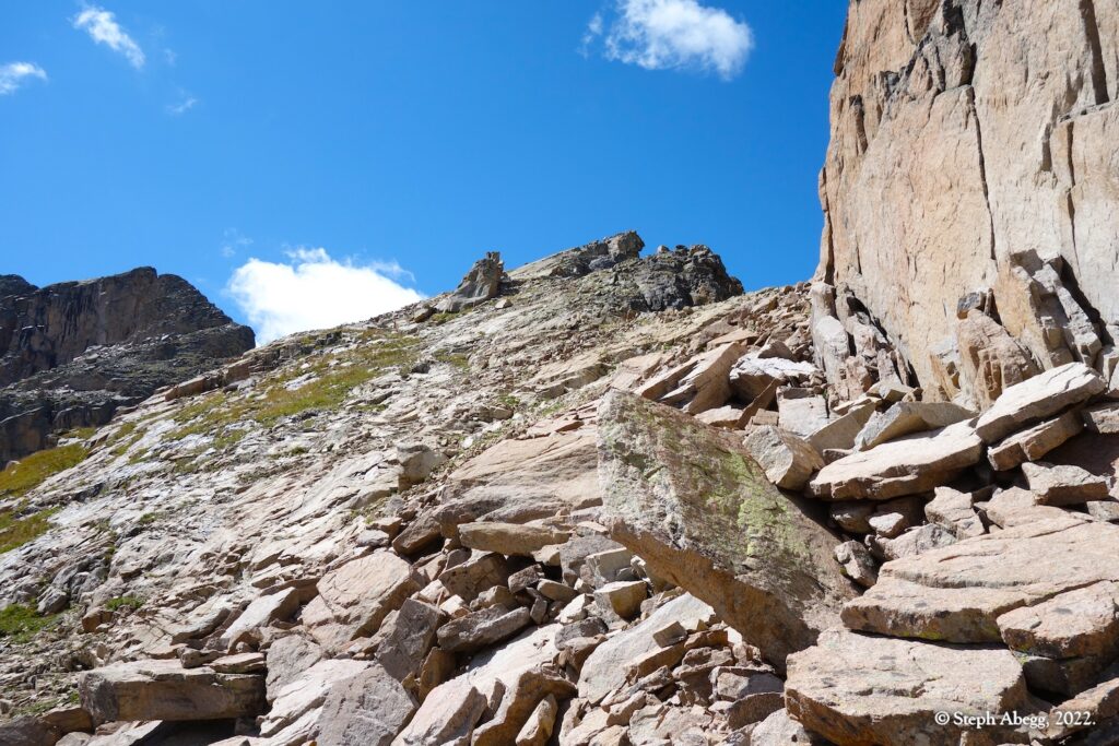
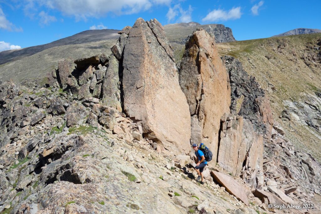
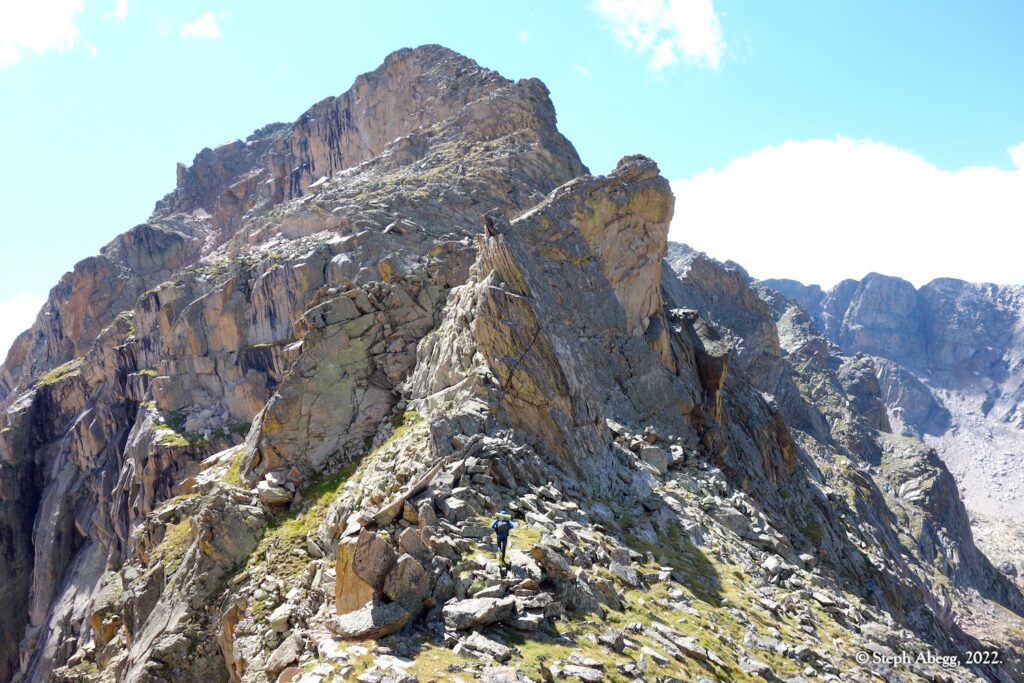
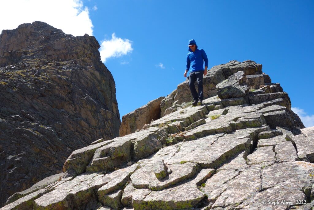
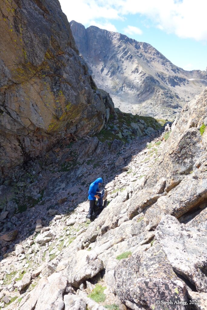
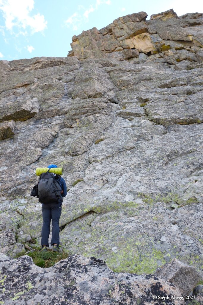
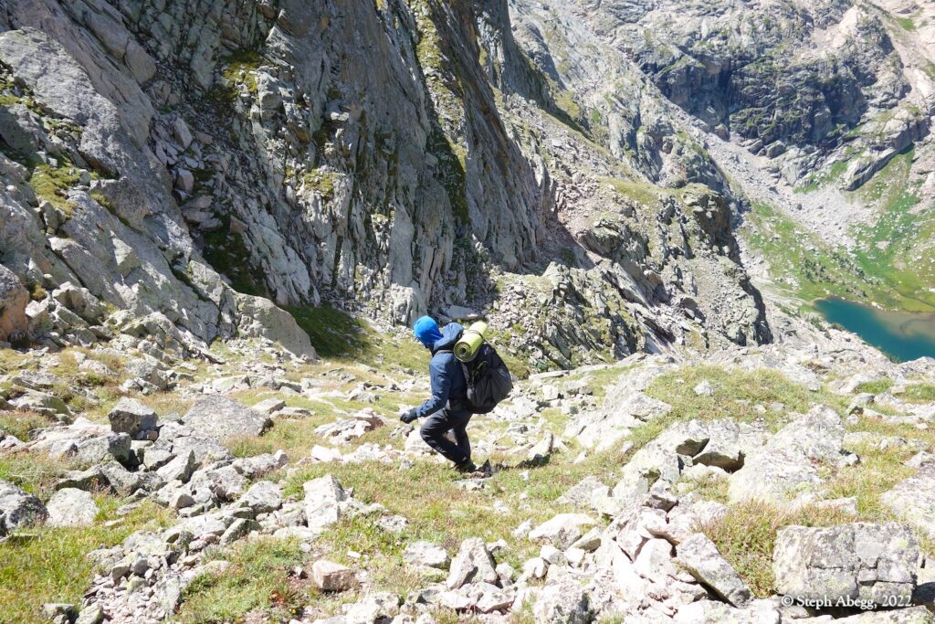
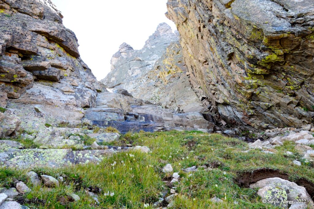
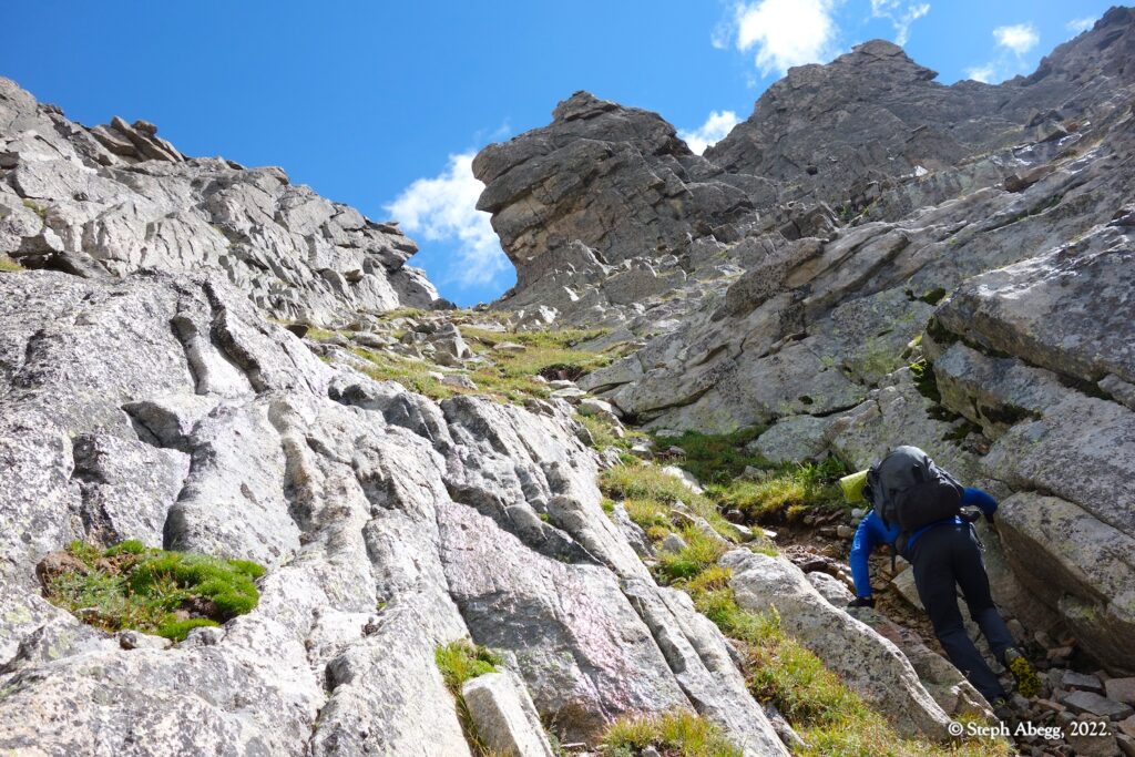
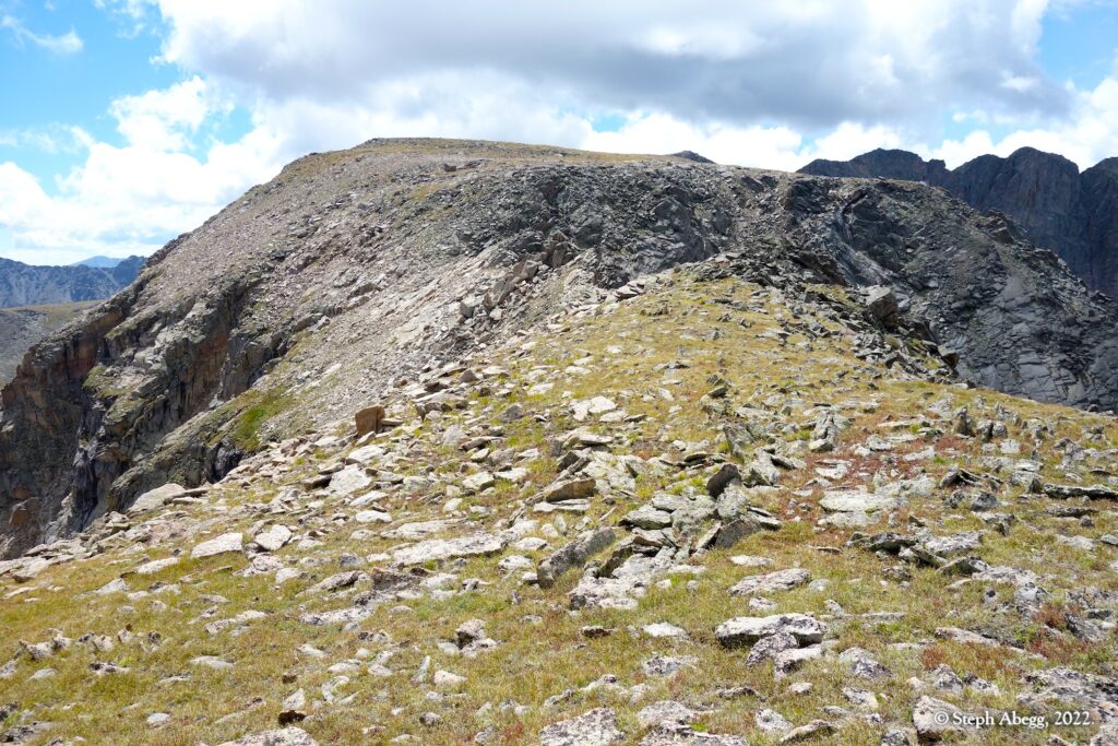
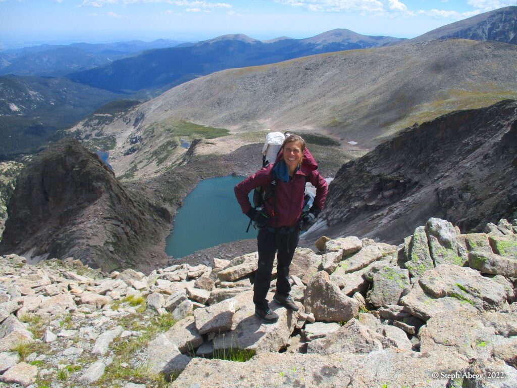
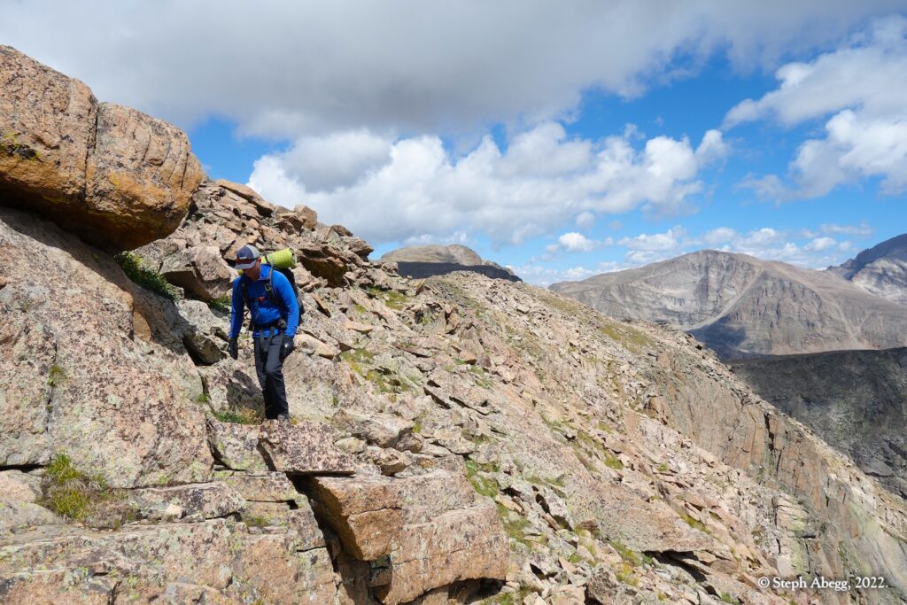
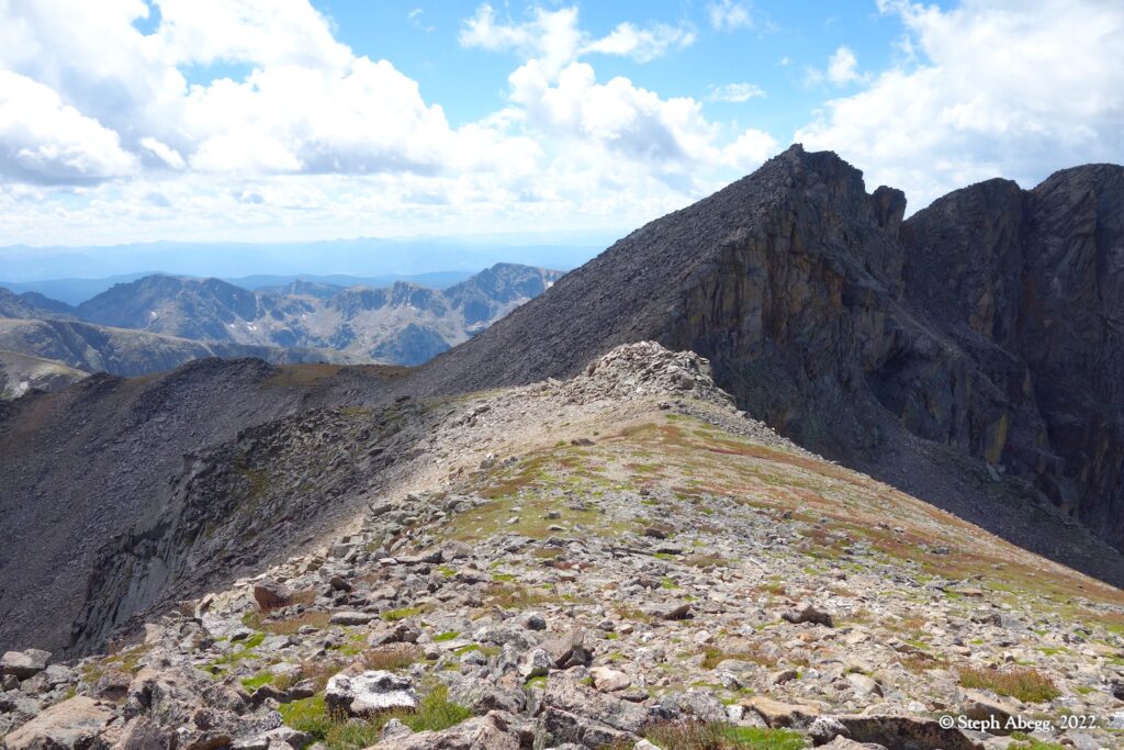
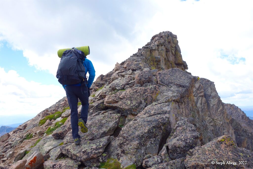
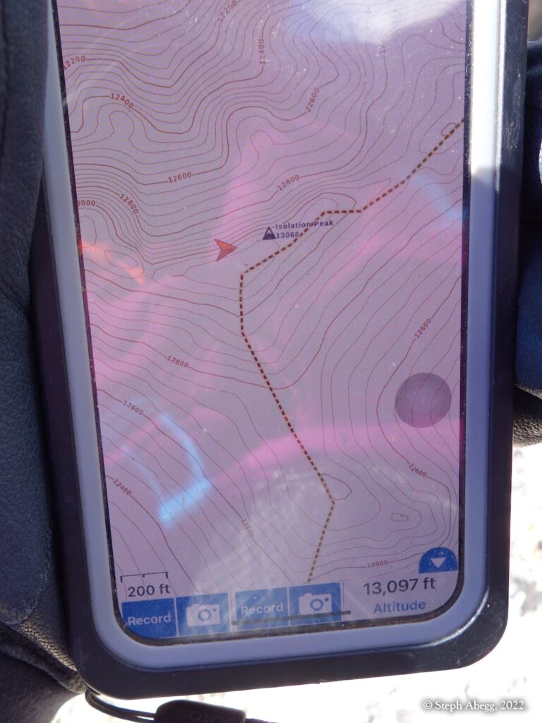
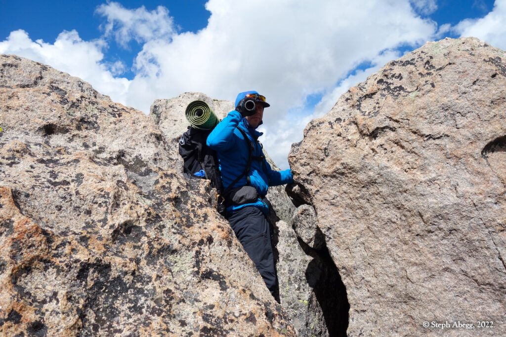
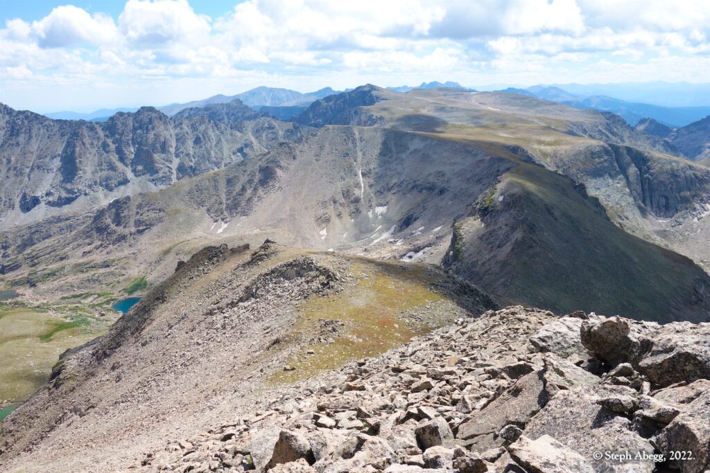
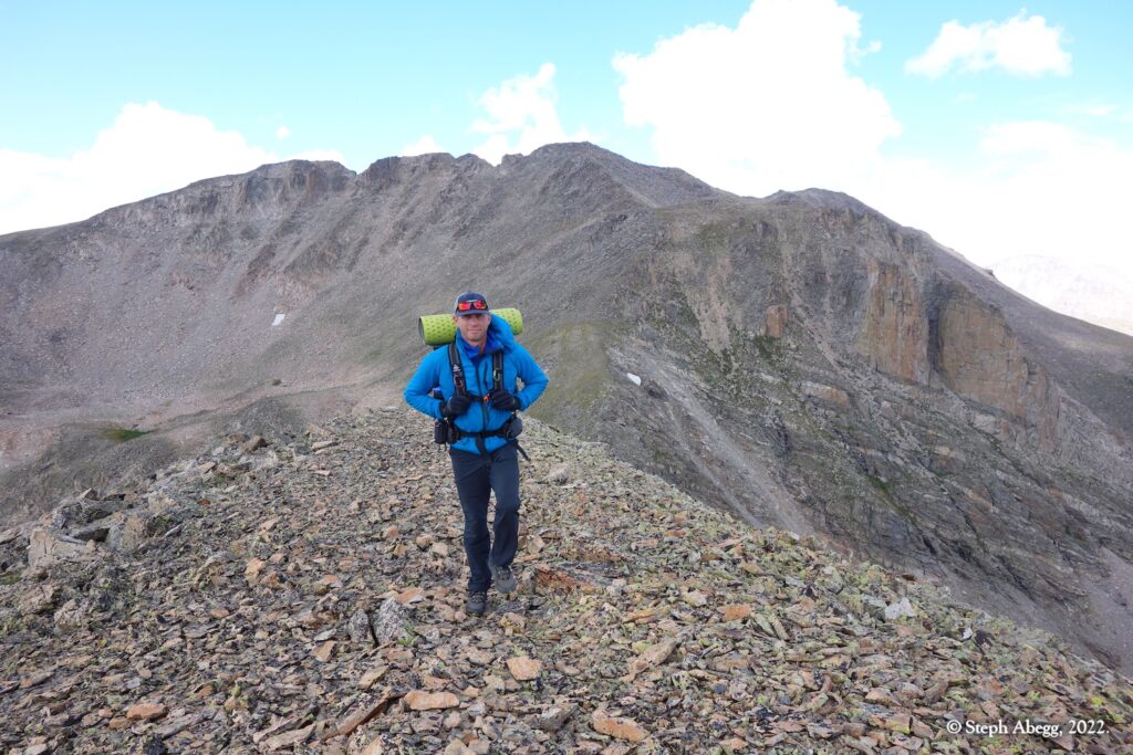
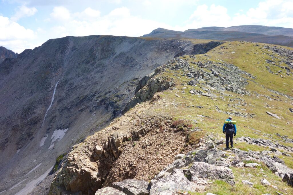
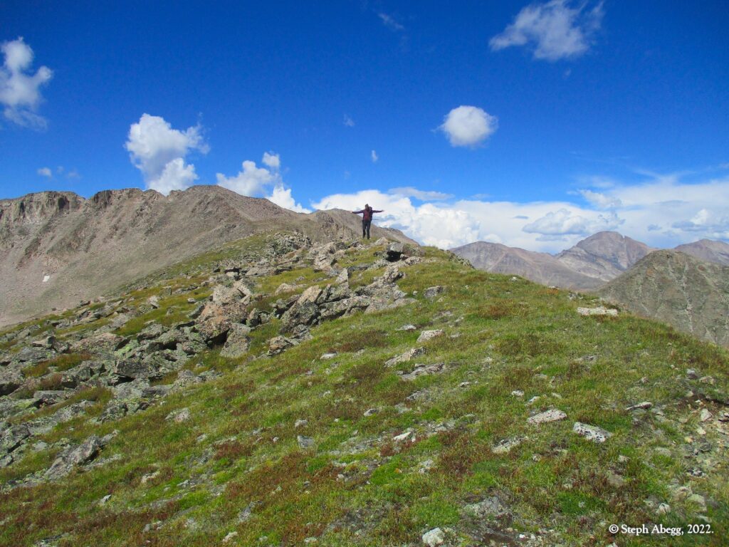
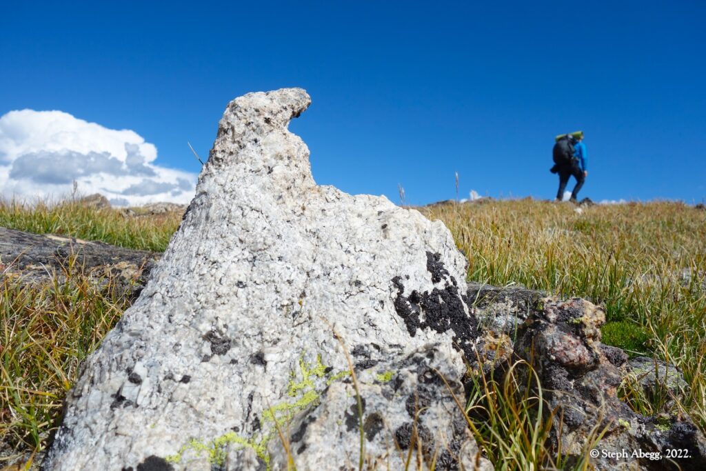
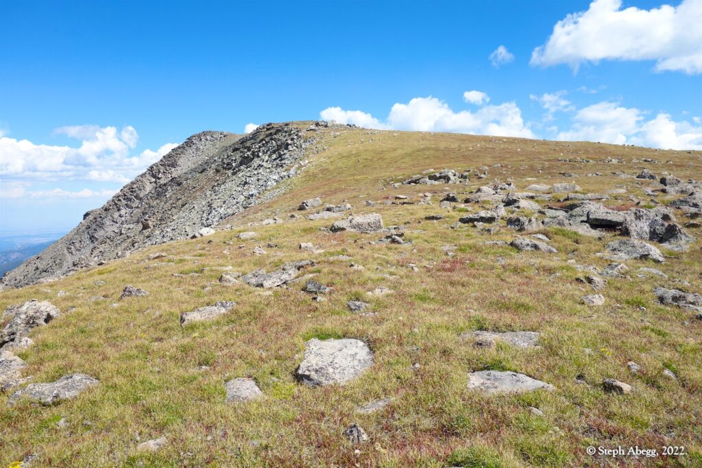
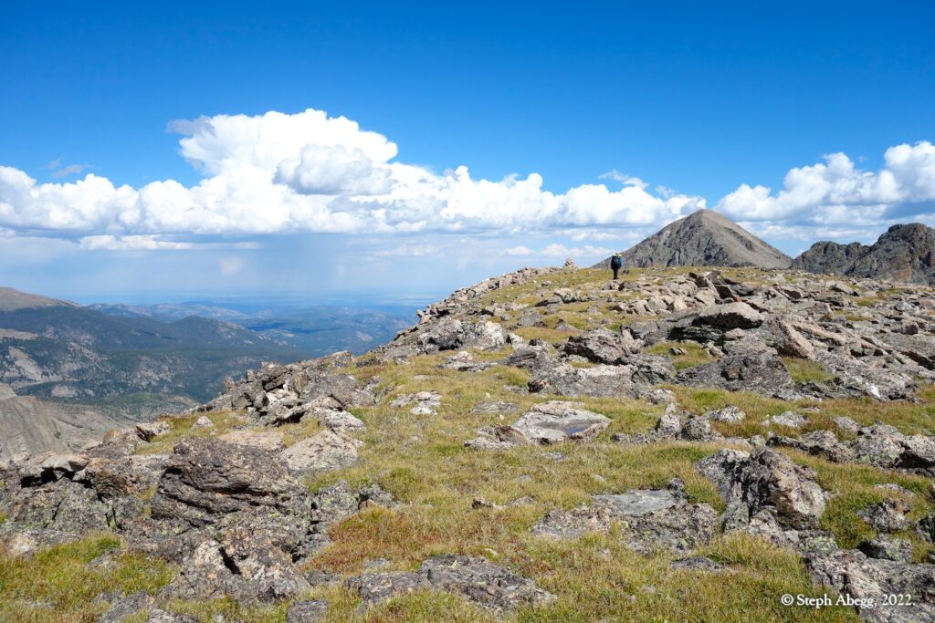
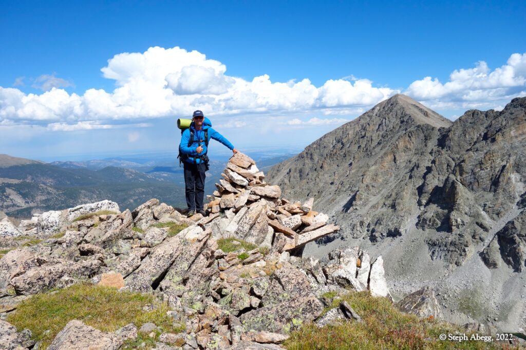
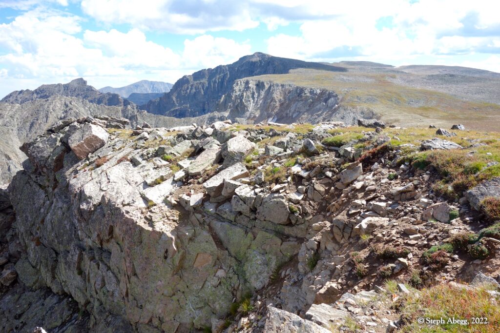
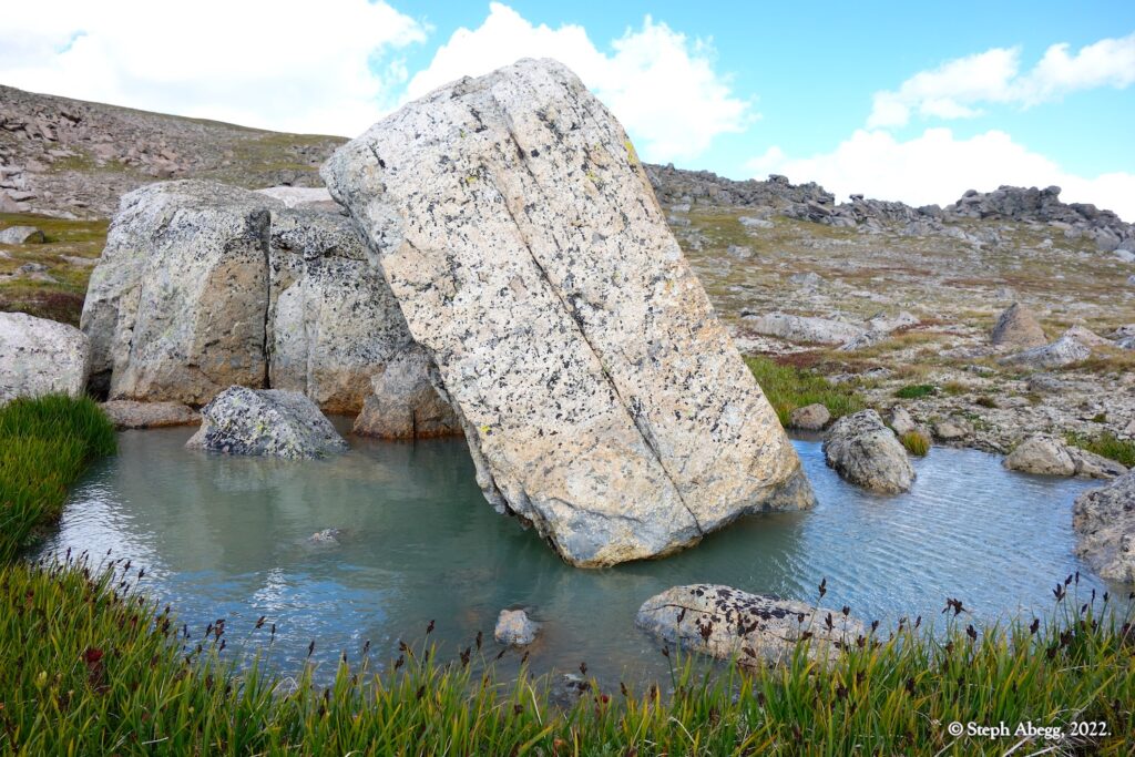
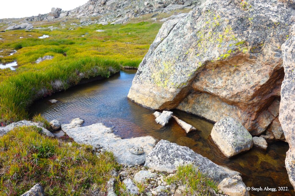
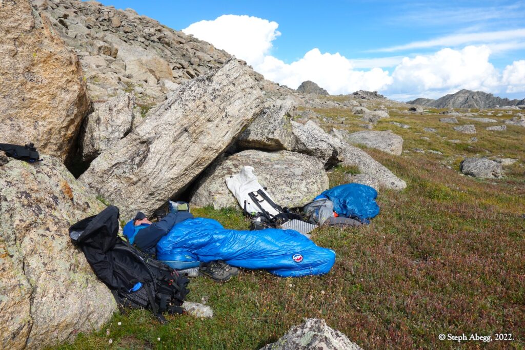
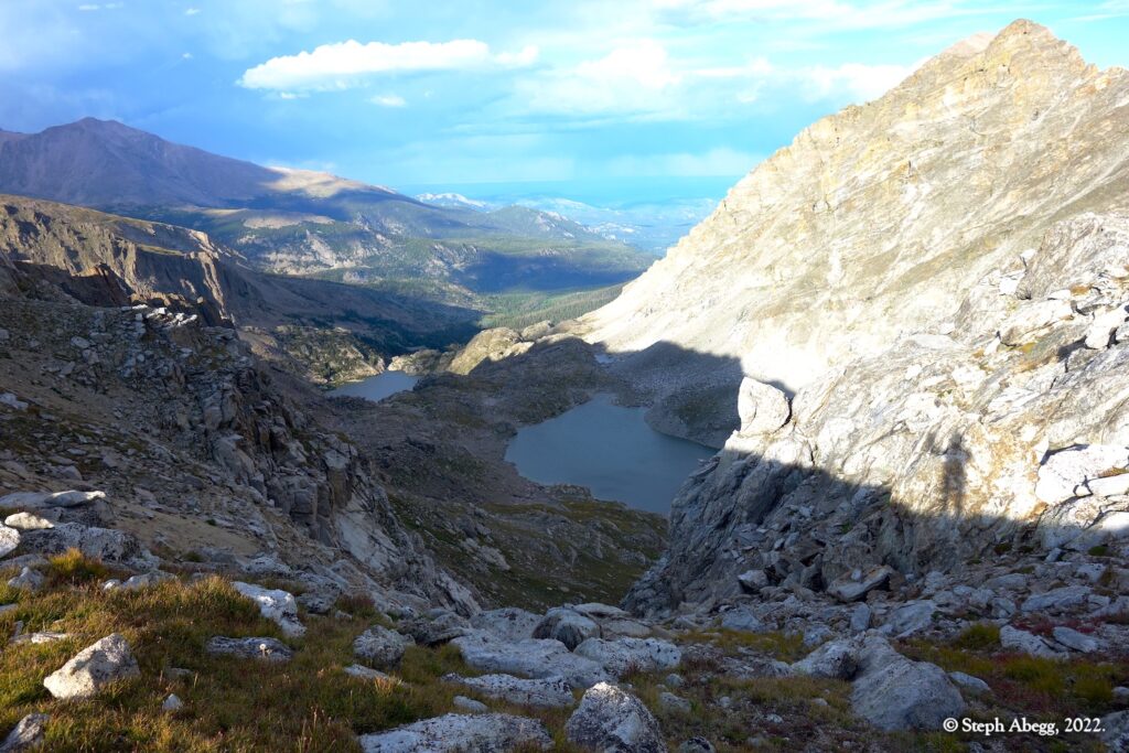
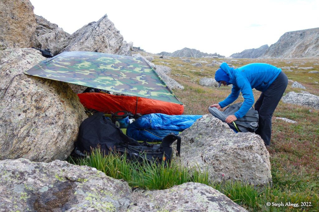
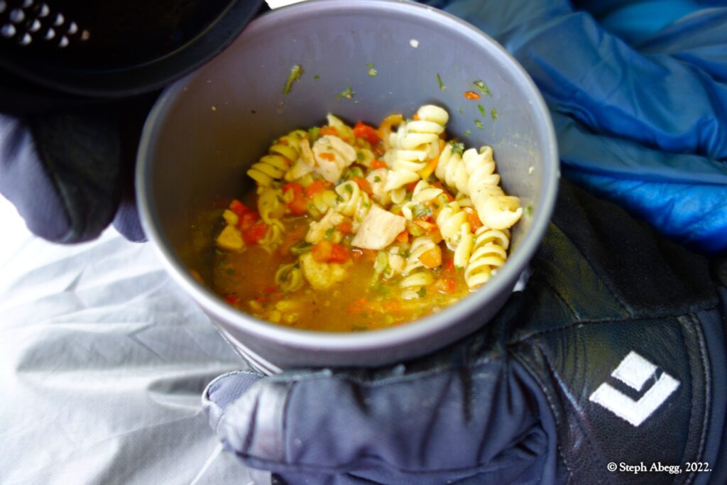
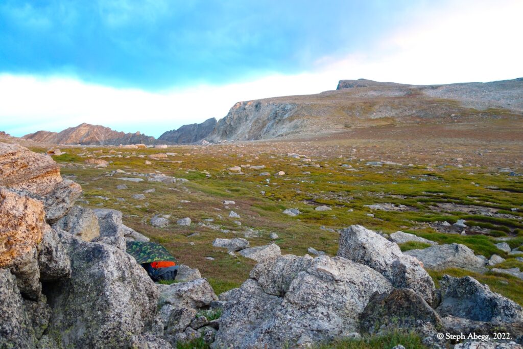
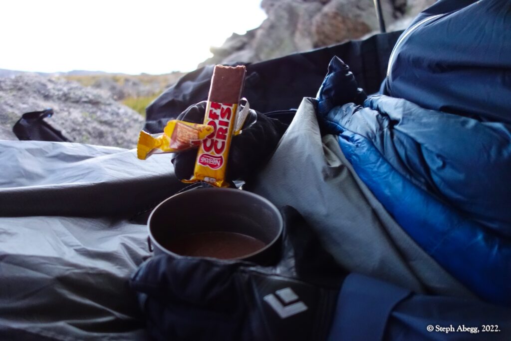
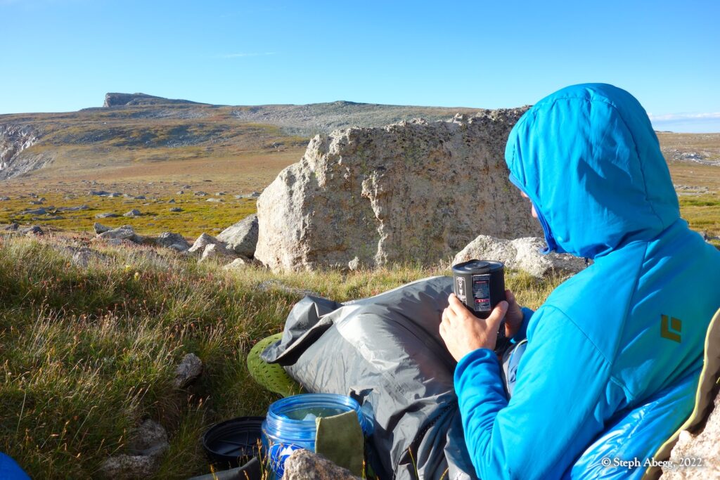
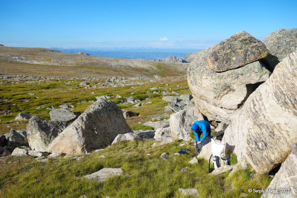
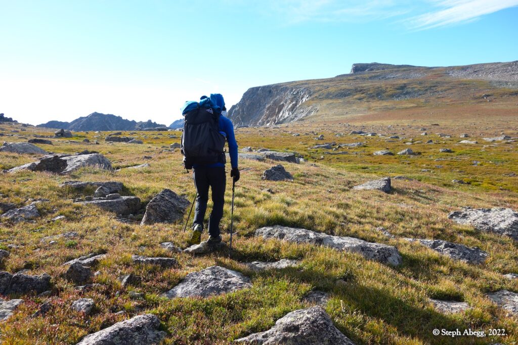
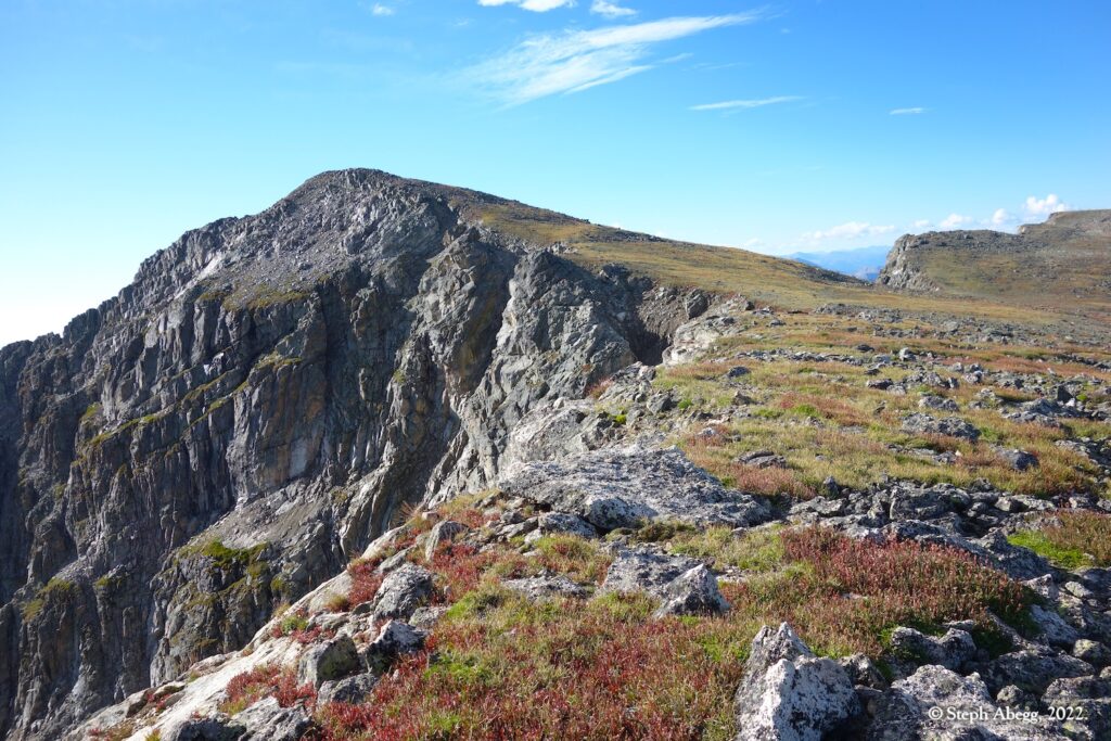
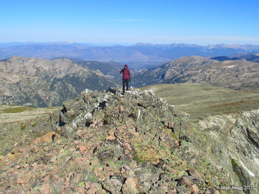
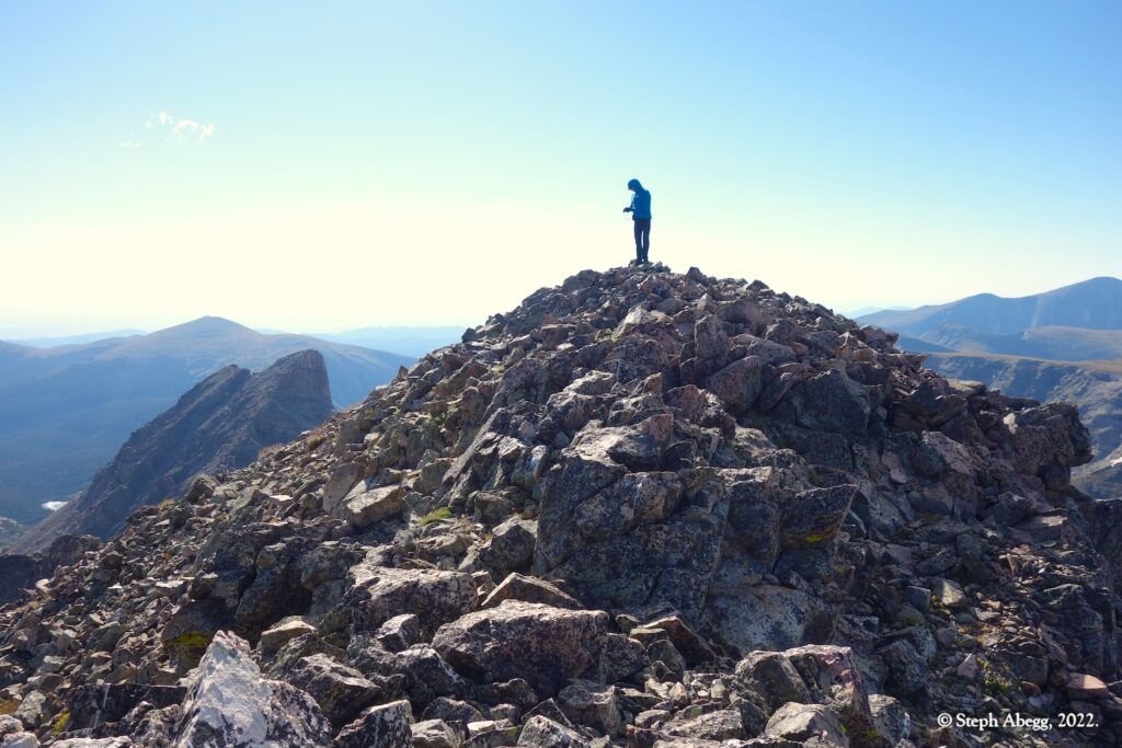
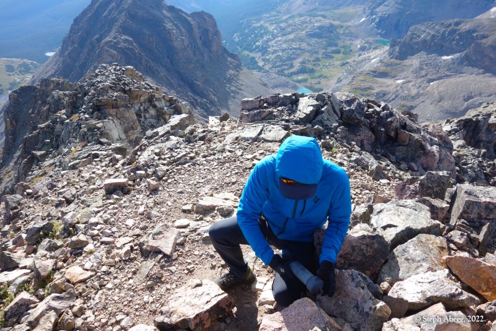
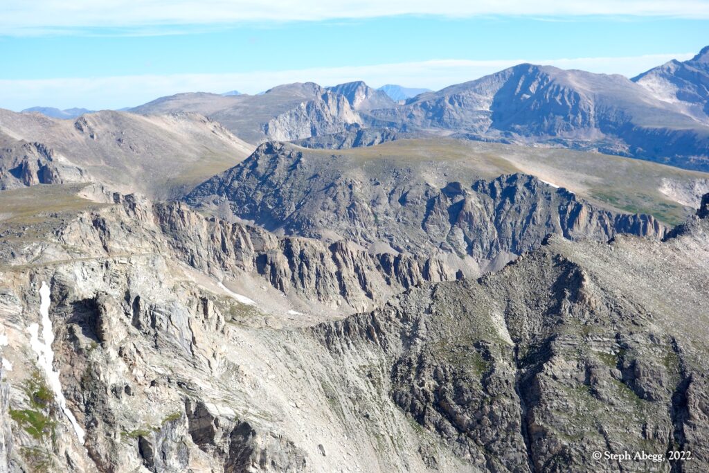
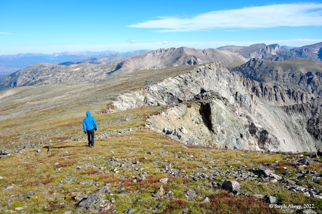
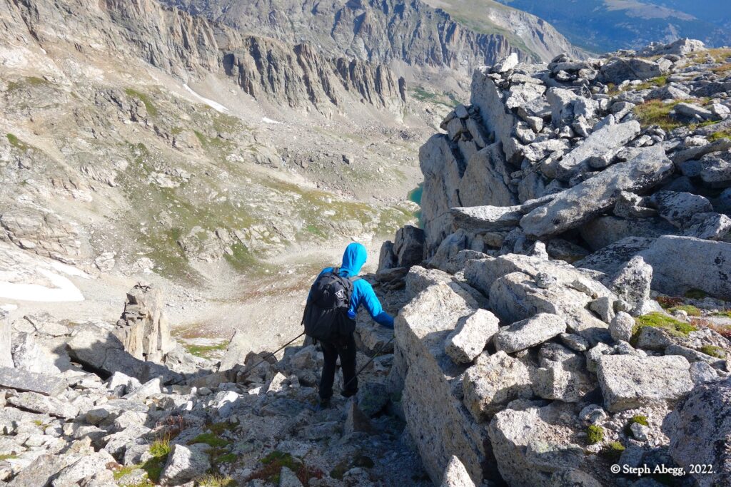
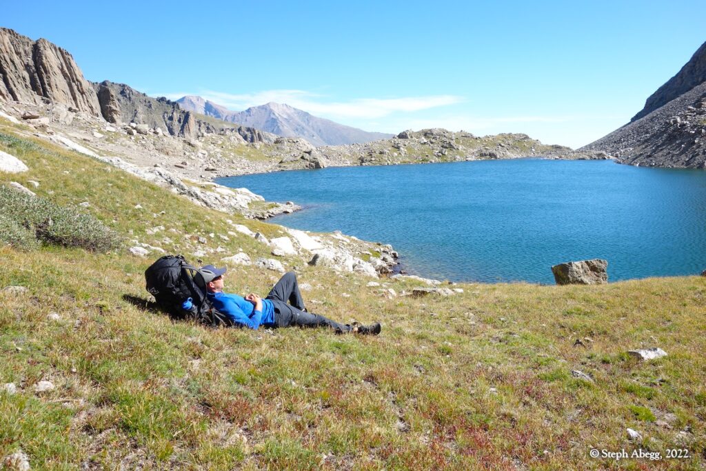
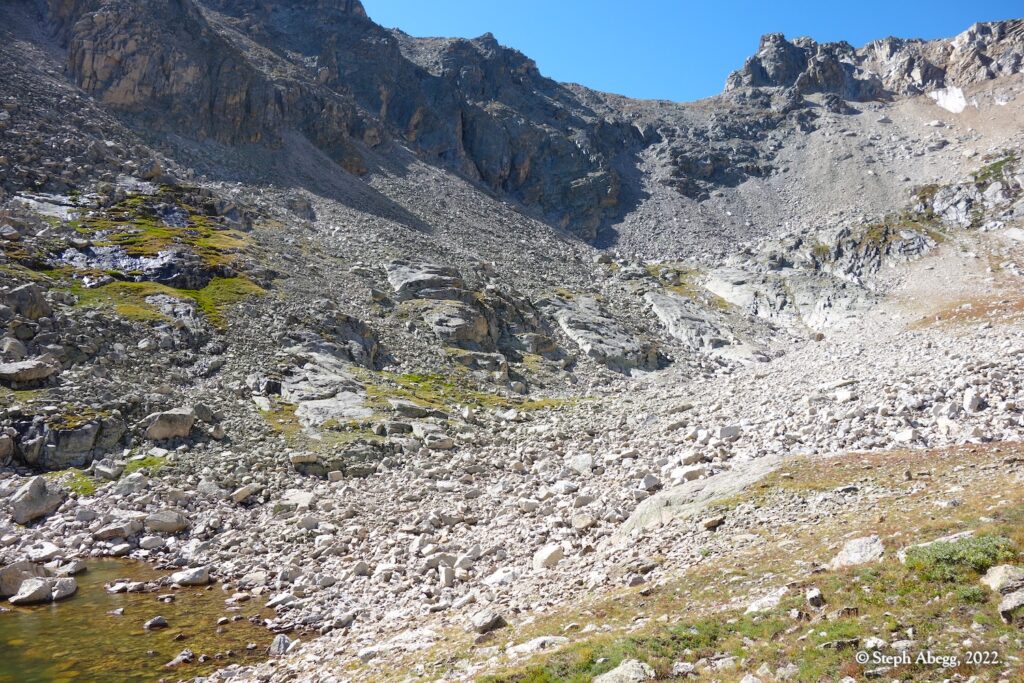
On Friday afternoon, Nate and I hiked into Thunder Lake. We arrived a bit soggy and chilled, but warmed up after donning dry clothes, crawling into warm sleeping bags, and consuming hot drinks, warm food, and Canadian chocolate bars my mom had sent us. On Saturday, we shouldered our packs and headed upwards, first hiking past Box Lake, Eagle Lake, and Indigo Pond en route to gaining the ridgeline along the Continental Divide; we traversed along the Divide for the rest of the day, along the summiting The Cleaver, Isolation Peak, and Ouzel Peak. It was windy and the late summer temperatures were cool, but sun and jackets kept us comfortable. Just when we were starting to wonder where we would spend the night (water was essential, which we figured would probably mean dropping down a ways), we came upon a water source high on the Divide, and decided it was a sign to stop and establish camp for the night. On Sunday, we continued along the Divide to Ogalalla Peak on the southern boundary of RMNP, and from there descended via Cony Pass to Junco Lake and then Bluebird Lake, where we gained the main trail and hiked out. All told, we tagged 4 summits along the Divide (Cleaver, Isolation, Ouzel, Ogalalla) and 6 alpine lakes (Thunder, Box, Eagle, Indigo, Junco, Bluebird). All of the travel was 2nd-3rd class.
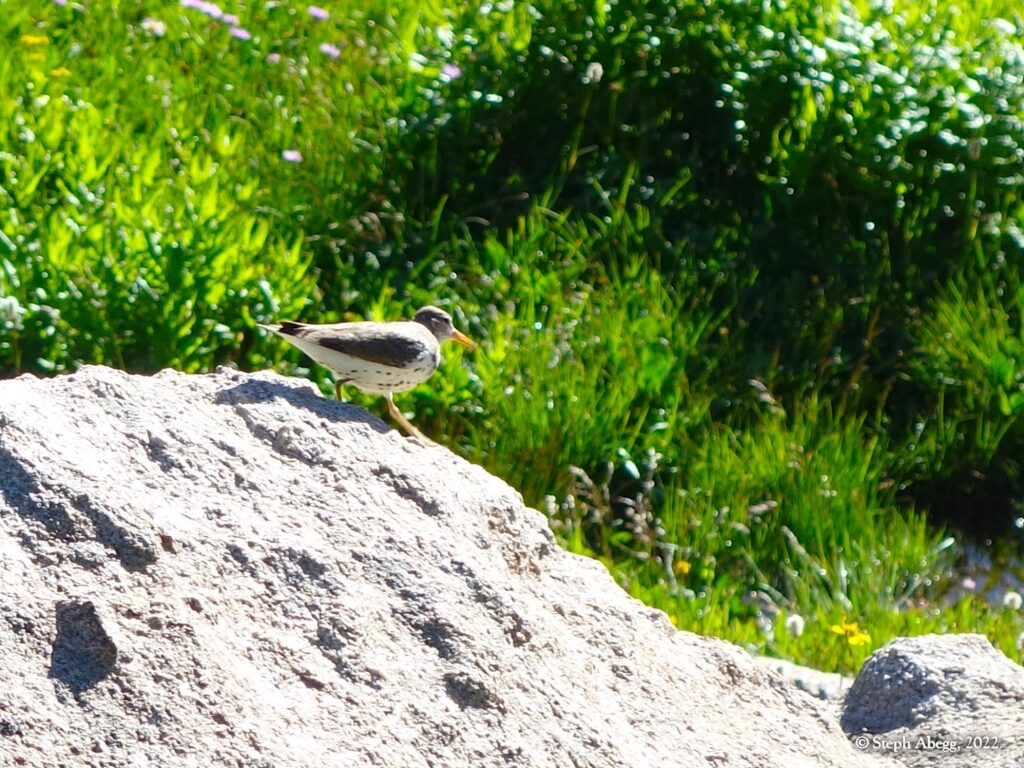
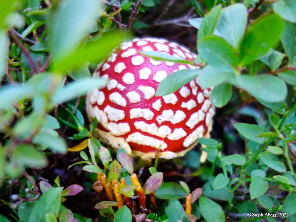
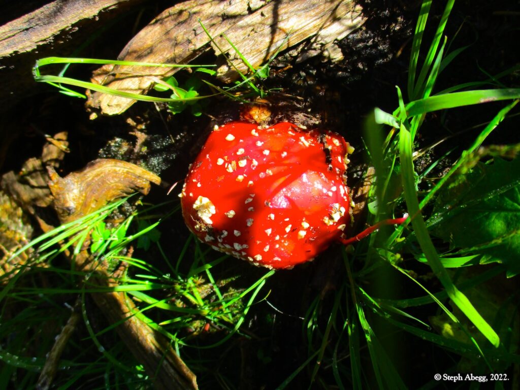
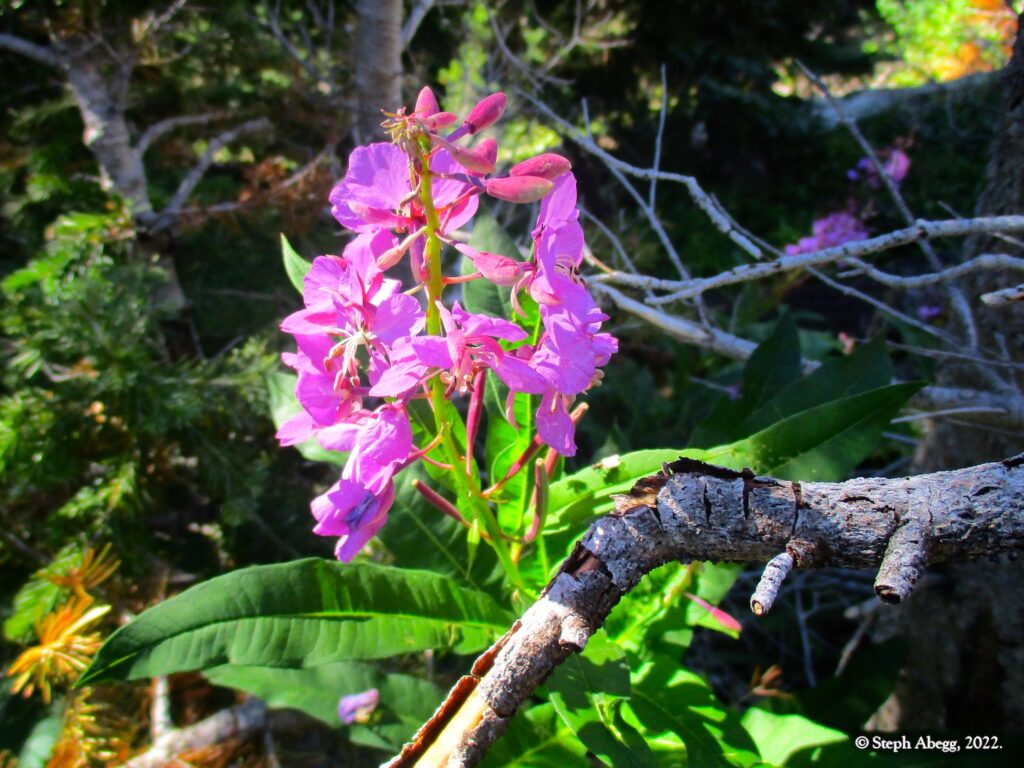
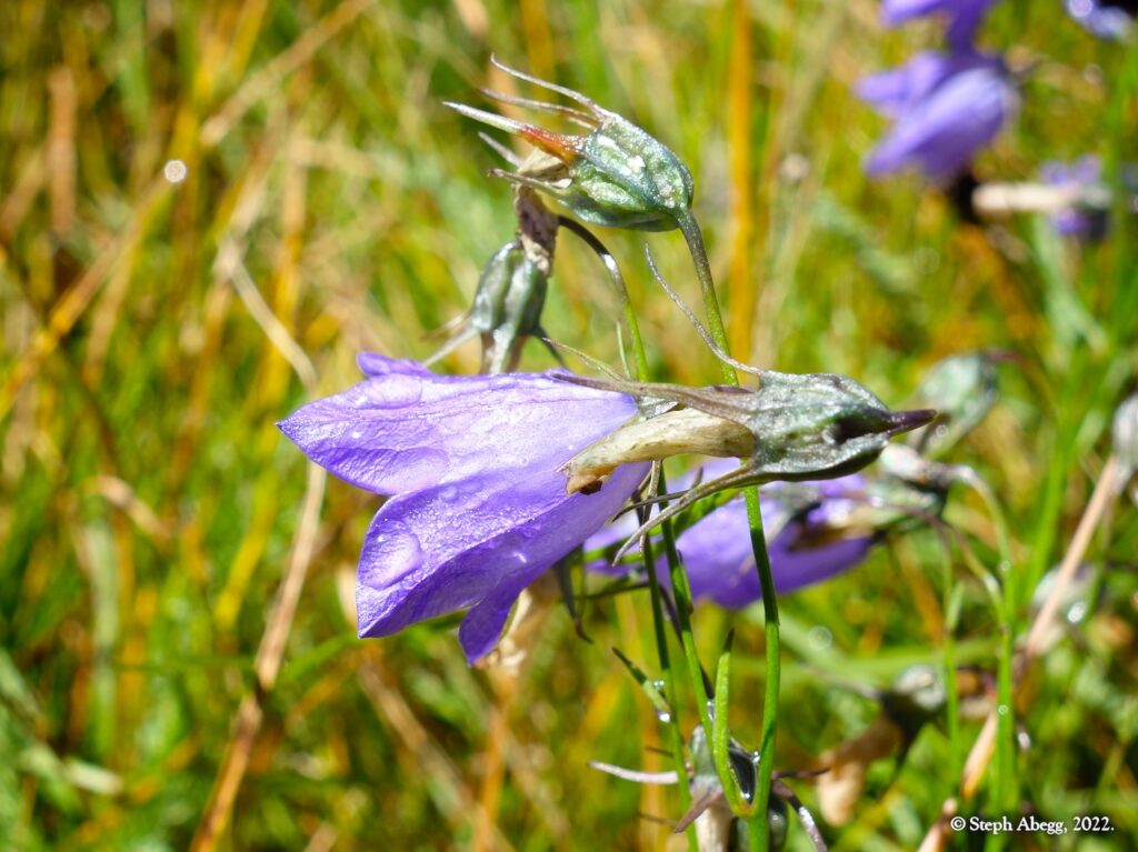
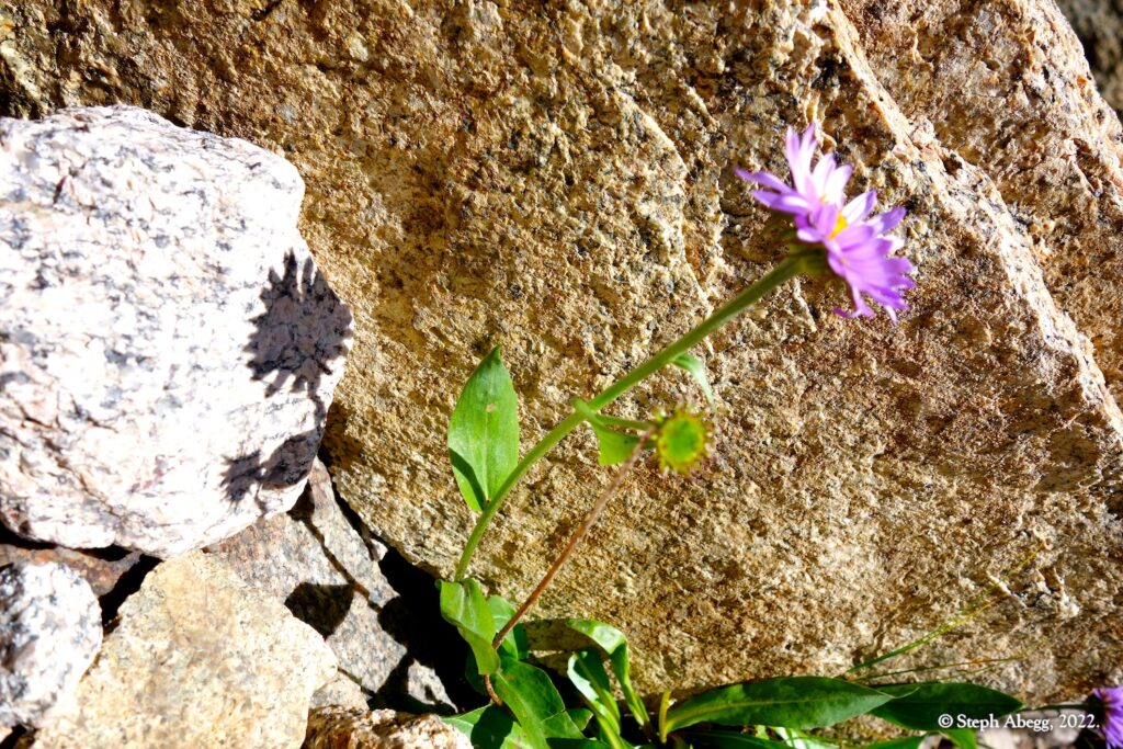
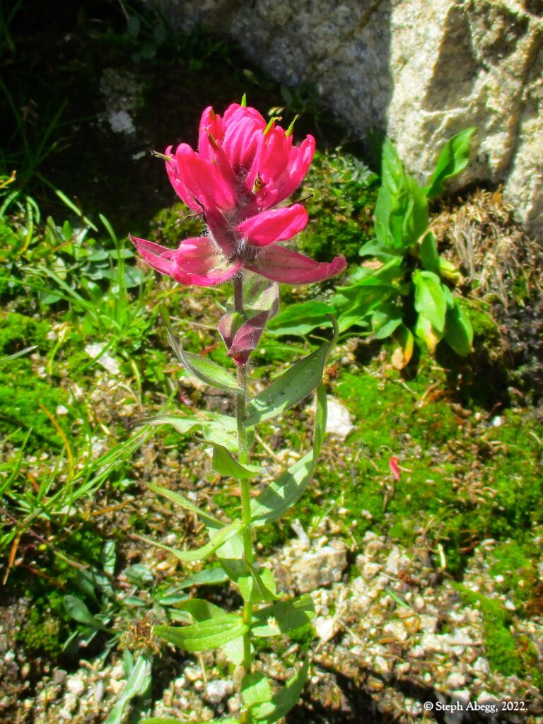
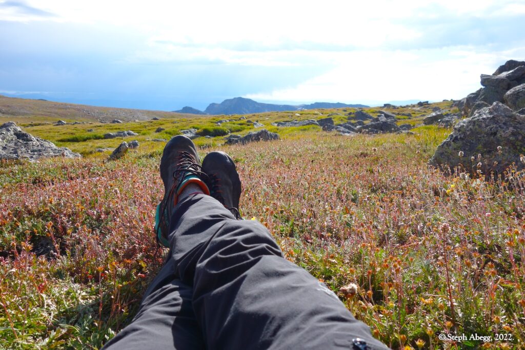
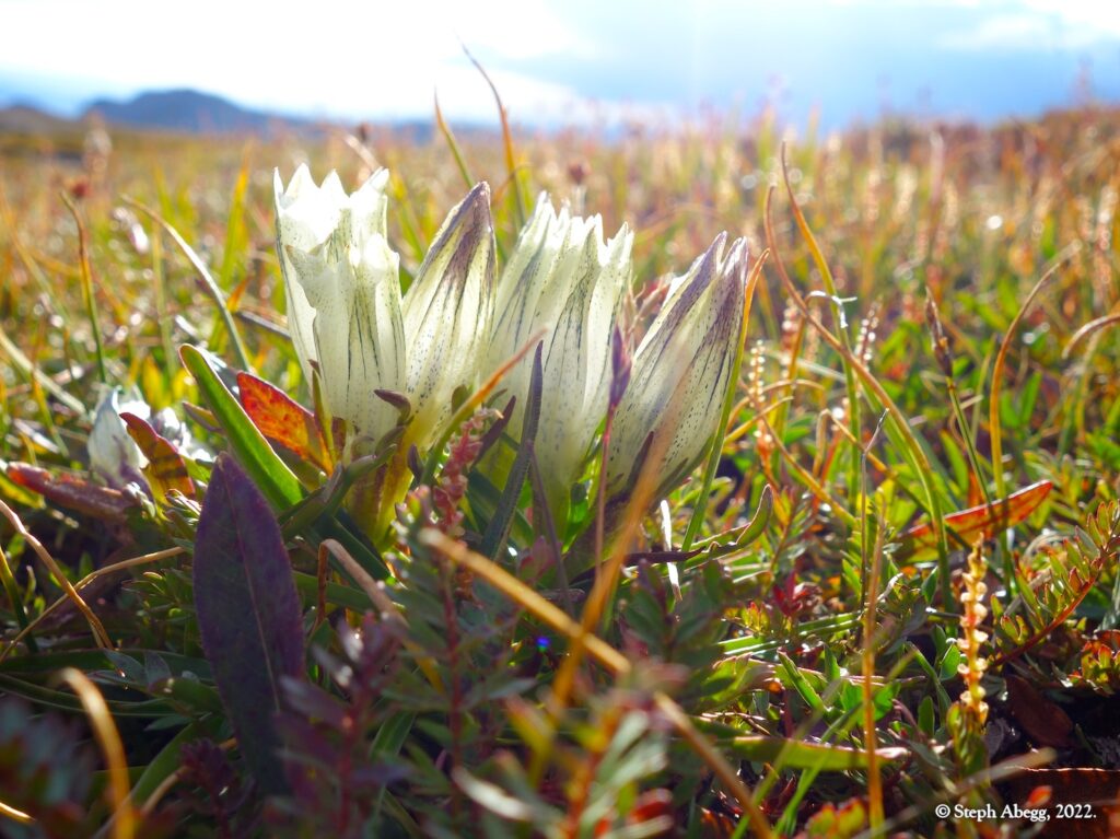
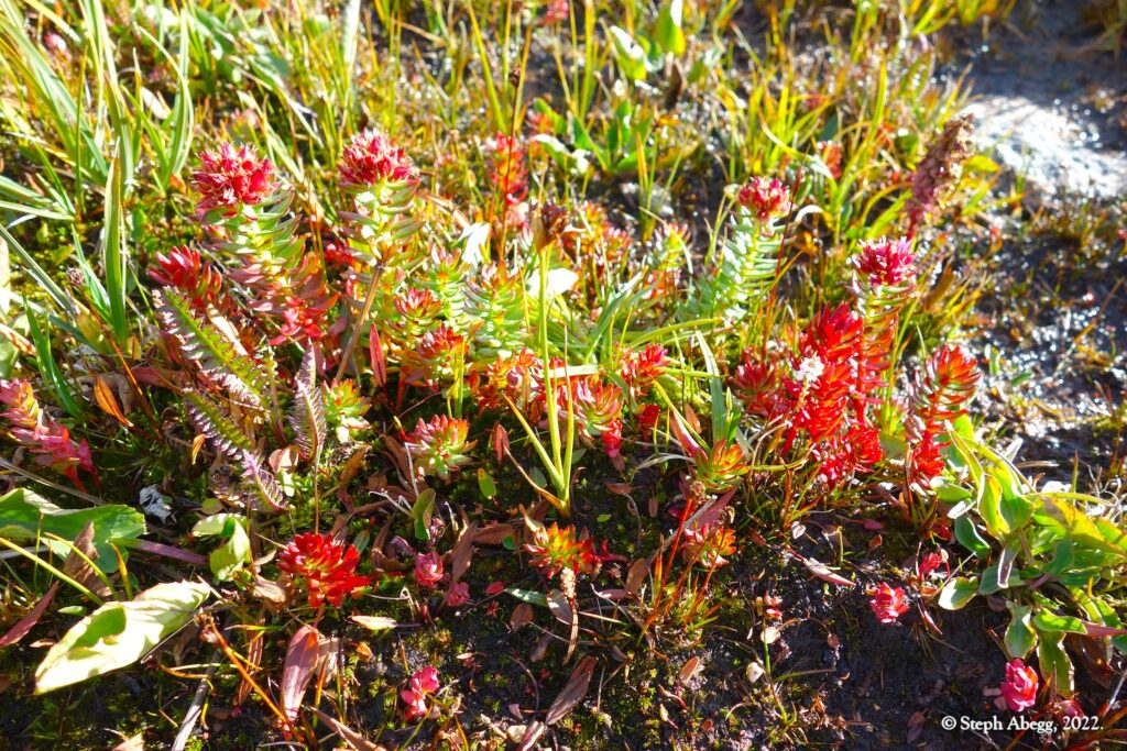
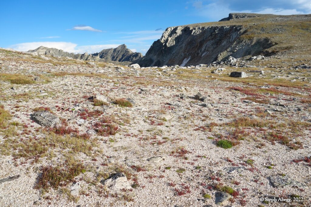
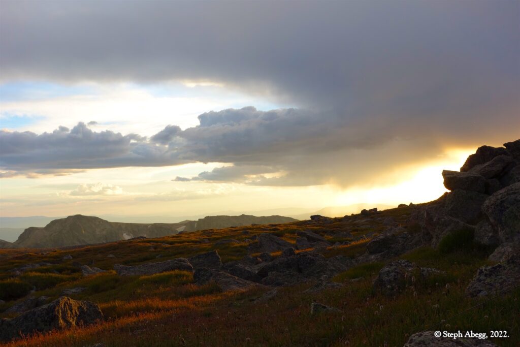
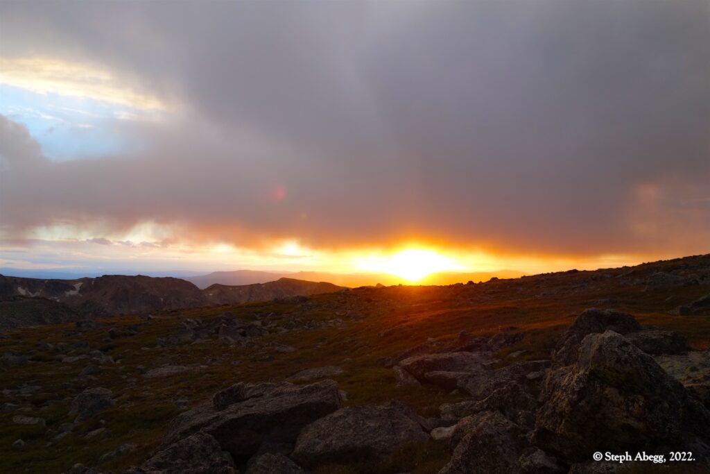
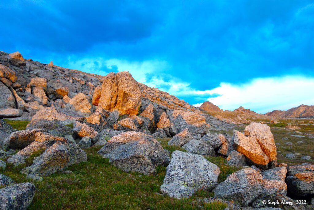
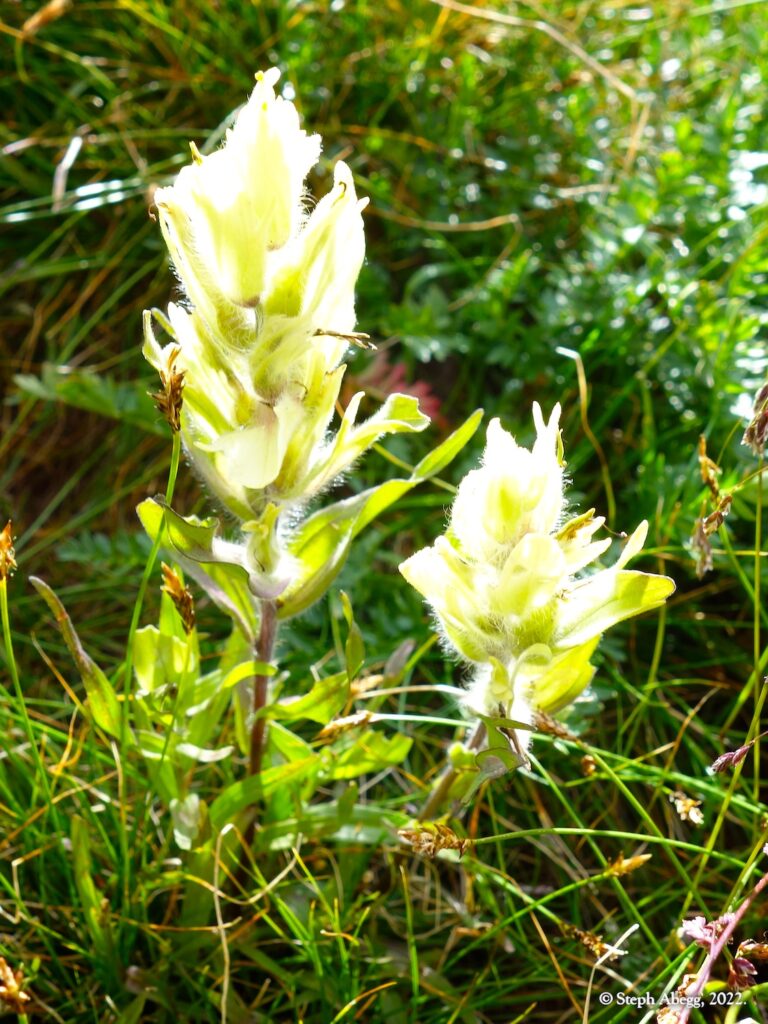
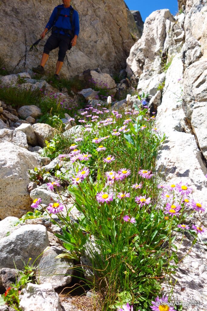
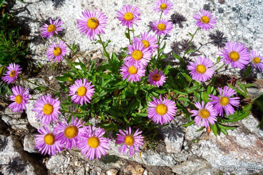
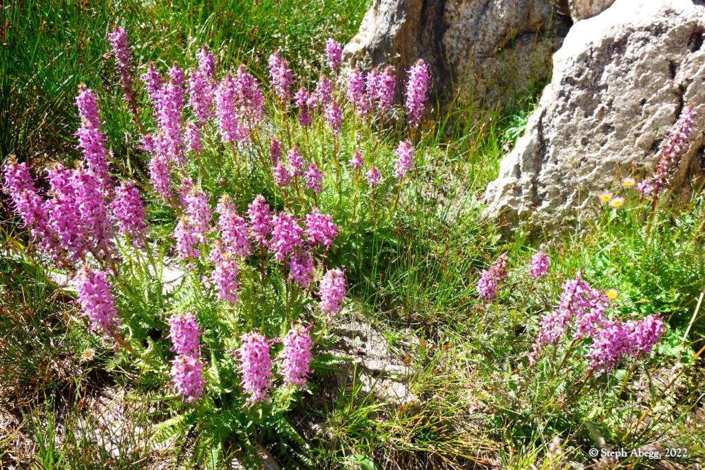
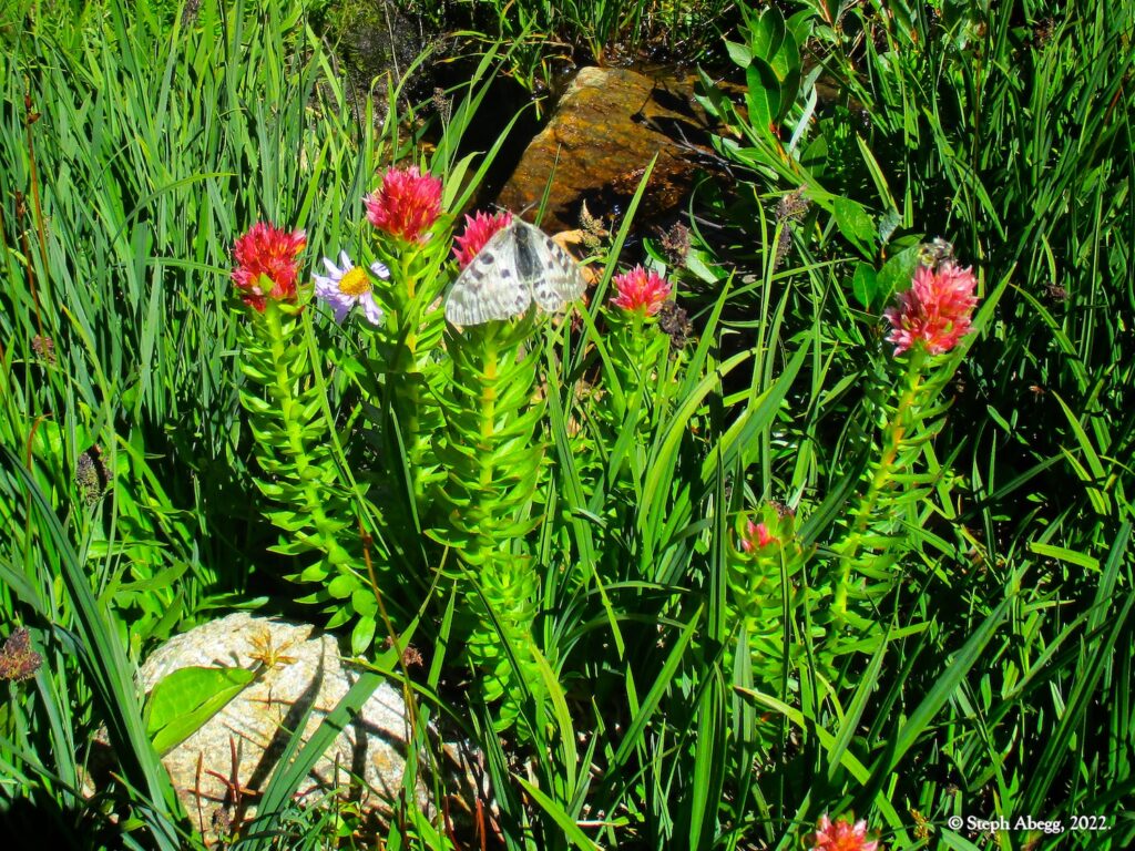
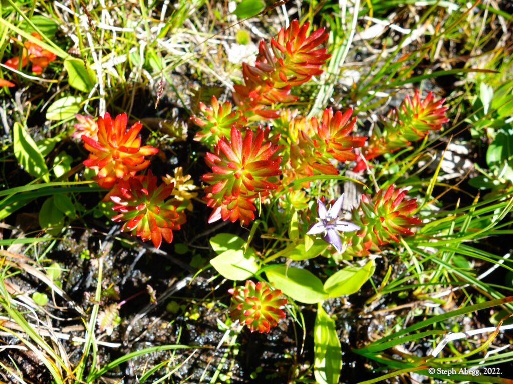
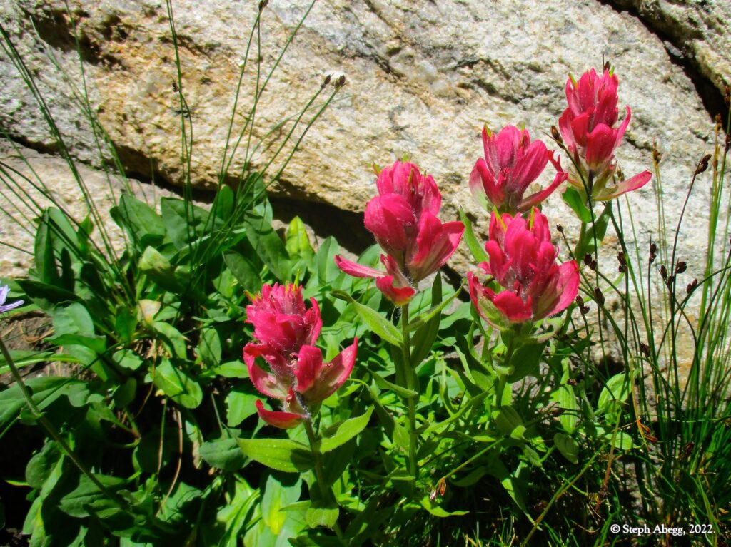
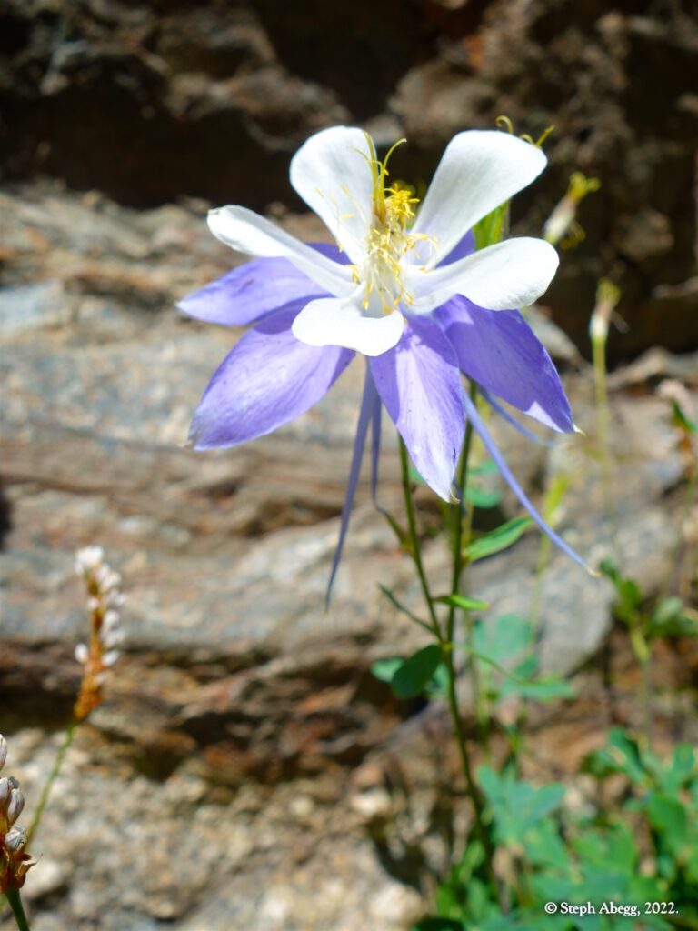
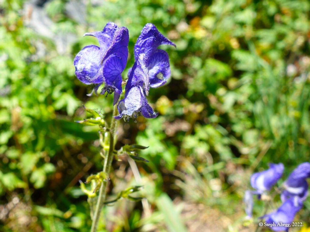
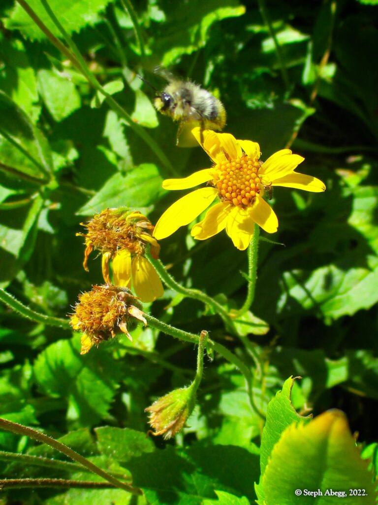
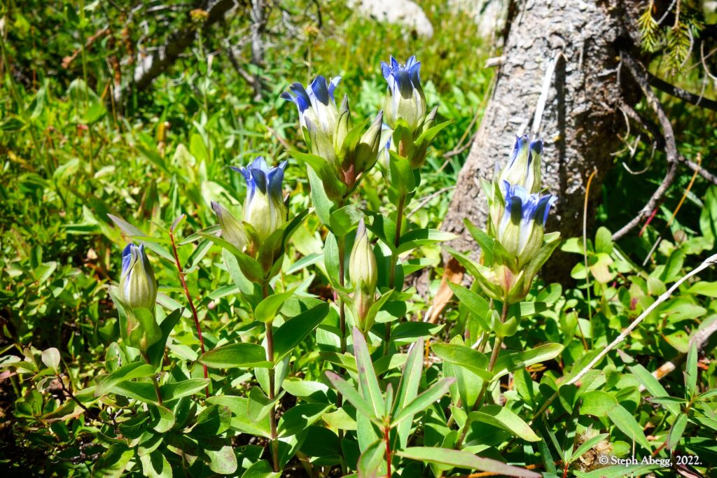
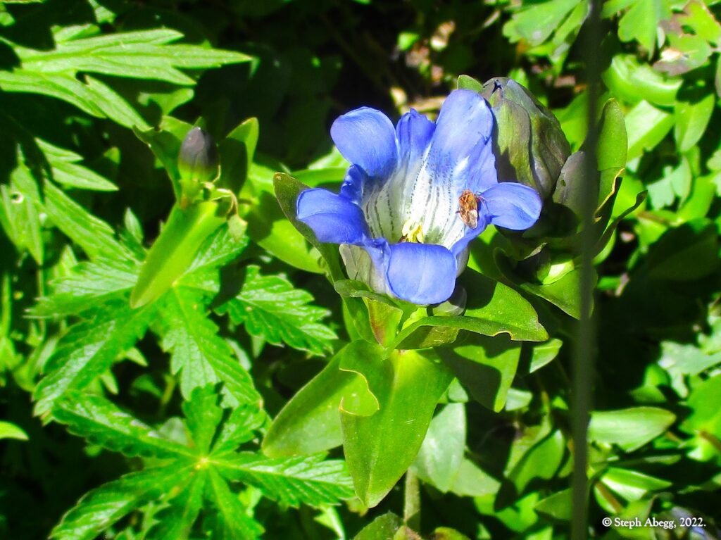
It was a marvelous adventure. Above treeline, the views were glorious in all directions and there was a feeling of fall in the air and touches of fall color in the foliage. Even so, the flowers abounded, thanks to a wet summer. I had loaned Nate one of my point and shoot cameras, and both of us took lots of photos (Nate took 106 photos and I took 281 photos). The following trip report includes several photos taken by Nate.
Below is a trip report for our weekend overnight high route in Wild Basin. Enjoy!
Nate and my travels along the Continental Divide in RMNP:
As of this trip, Nate and I have traversed most of the Continental Divide that runs through Rocky Mountain National Park. Our July 2020 "
Estes Skyline High Route" included the section between the Alpine Visitor Center and Chiefs Head; in August 2020, we summited
Mt. Alice; and in the trip on this page we traversed from The Cleaver to Ogalalla Peak on the southern boundary of RMNP. Sections we have not done include: the far north end on Specimen Mountain, which is closed year-round to all travel for the protection of bighorn sheep so cannot be included; the straightforward 2nd-3rd section between Chiefs Head and Mt. Alice; and the straightforward 2nd-3rd section between Mt. Alice and The Cleaver. It just remains to connect all of these sections in one glorious high ridgeline trip. Stay tuned for a future report on the "RMNP Continental Divide High Route"!


