Mt. Wilson, Resolution Arête (5.10c C1, 24p, 2500’)

Mt. Wilson

Route:

Resolution Arête

5.10c C1, 24p, 2500’

Old dad adventure trad.

Region: Nevada
Elev: 7071 ft (Mt. Wilson summit)
Rock type: Aztec Sandstone
Type: 
Date(s): April 15, 2025 (Tue)
Partner(s): Nate Beckwith

Route Overlay

CLICK TO ENLARGE

Intro

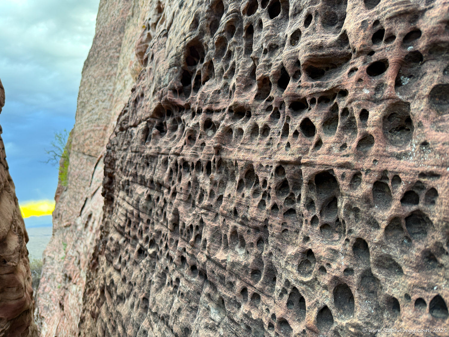
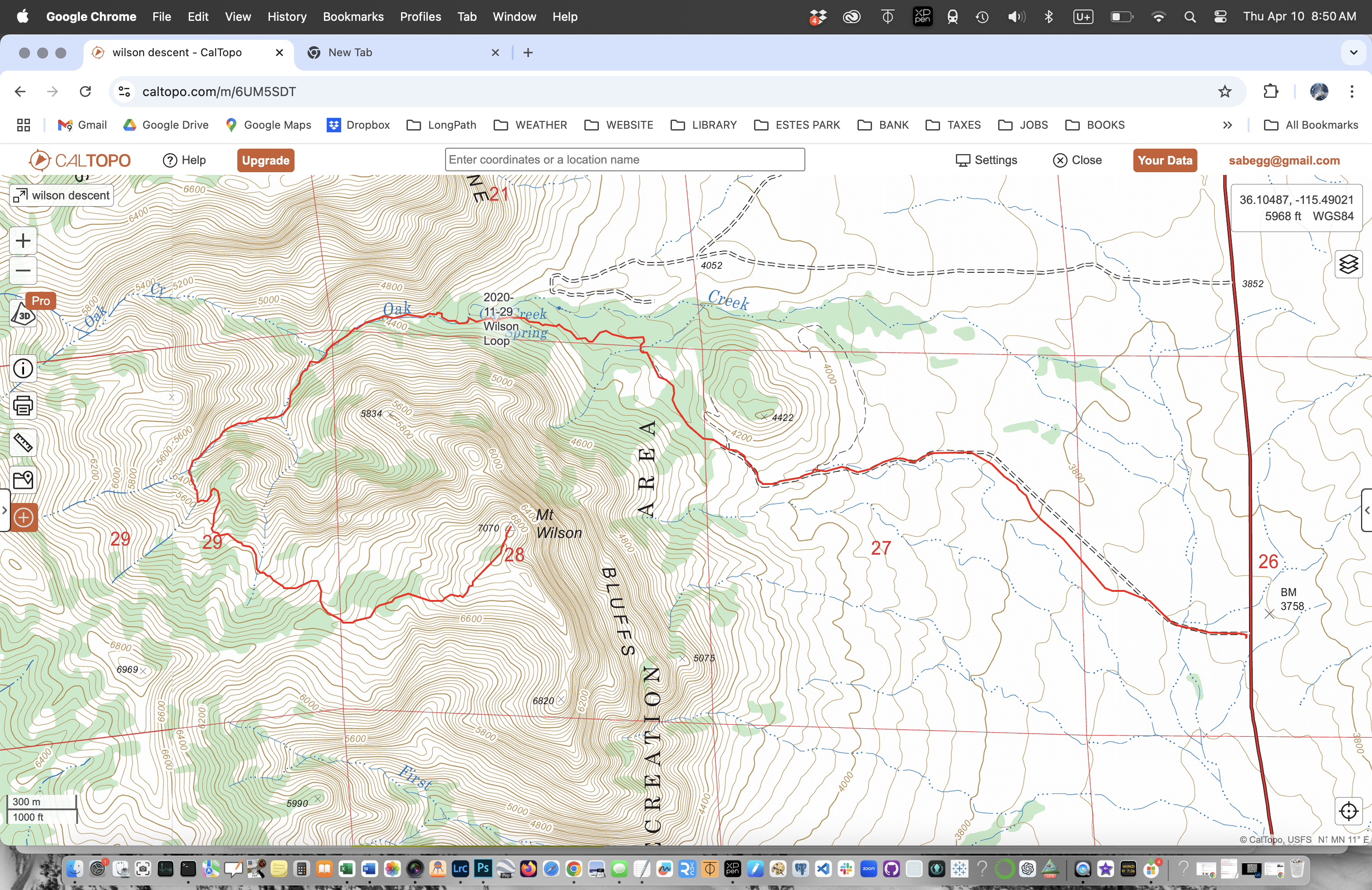
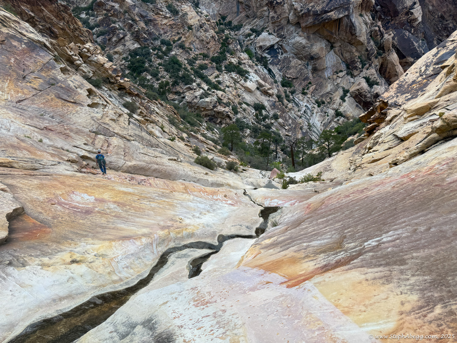
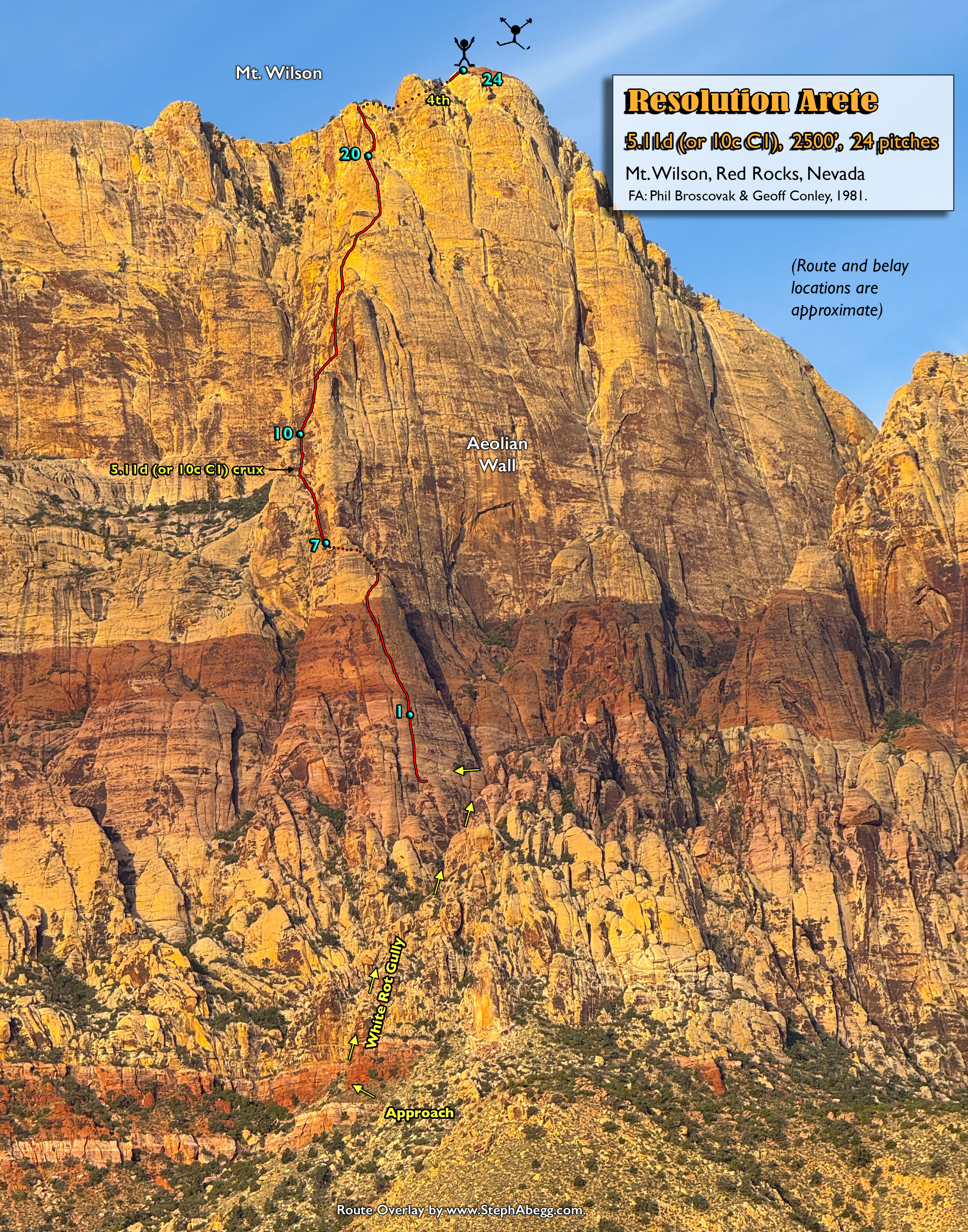
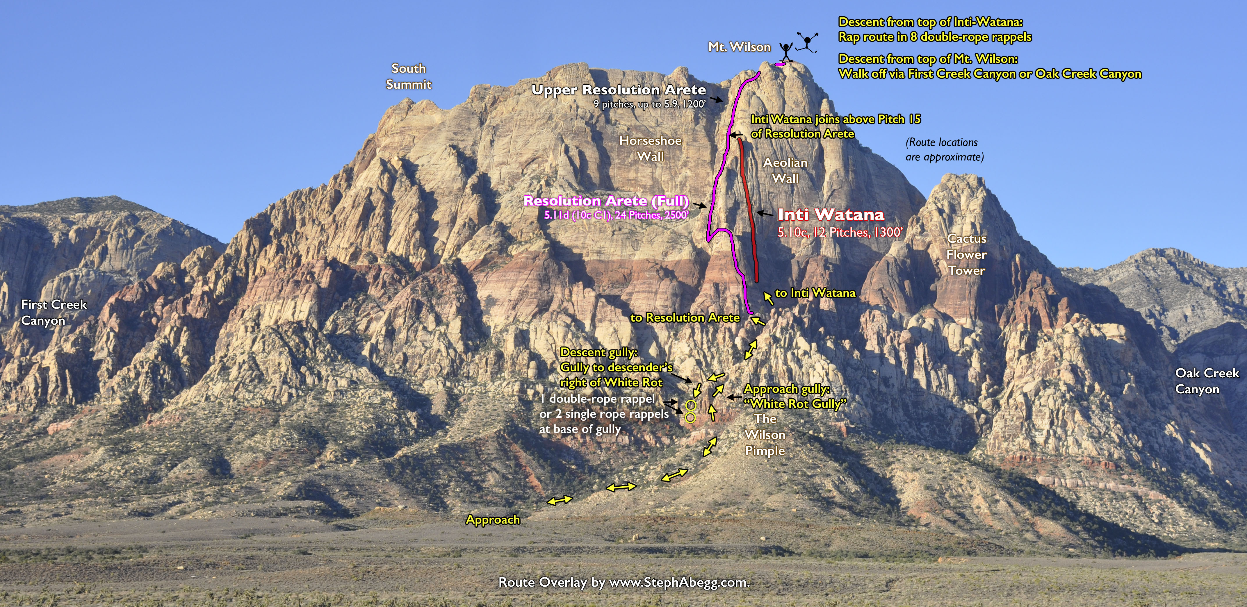
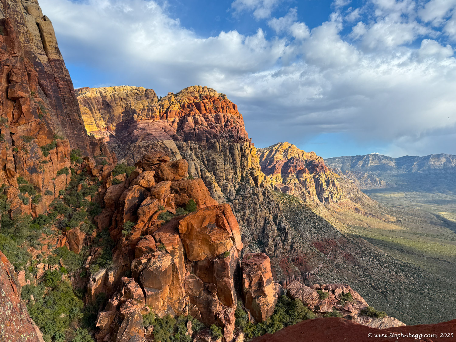
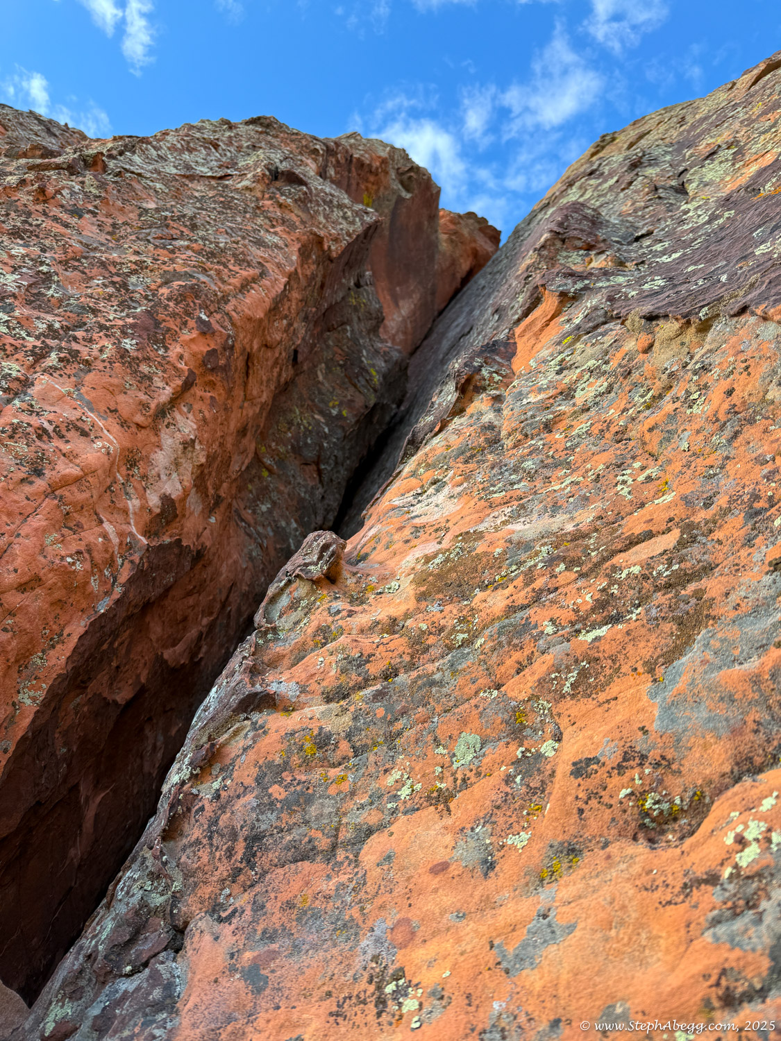
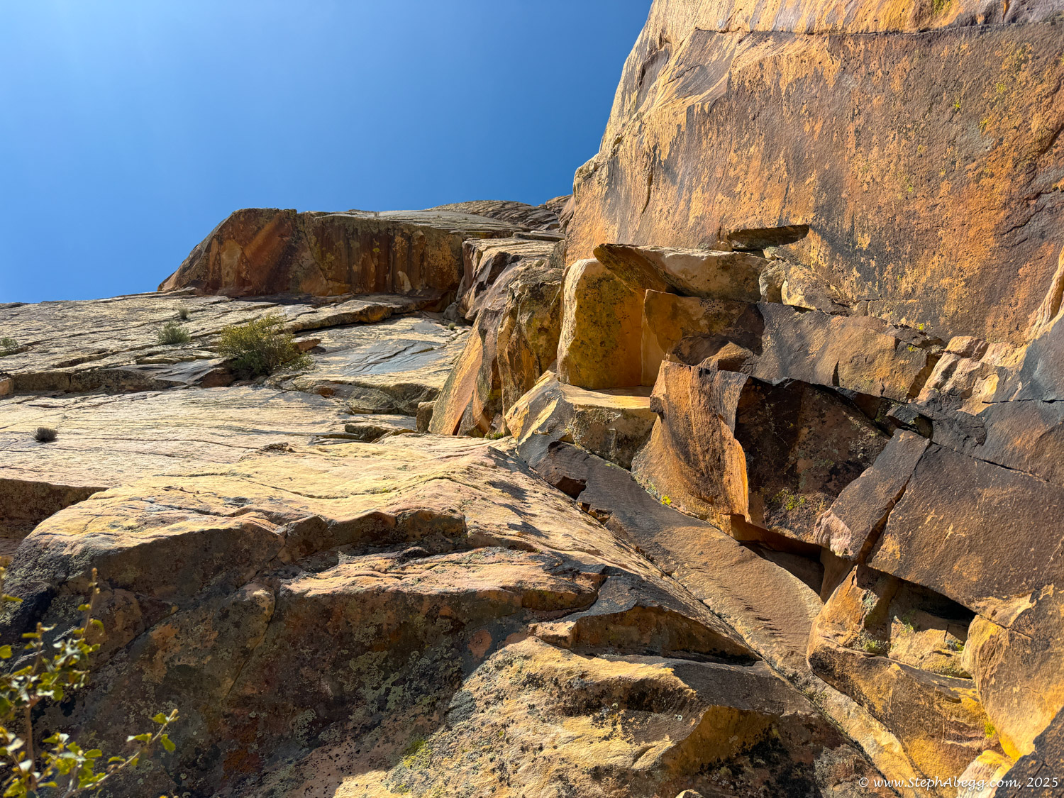
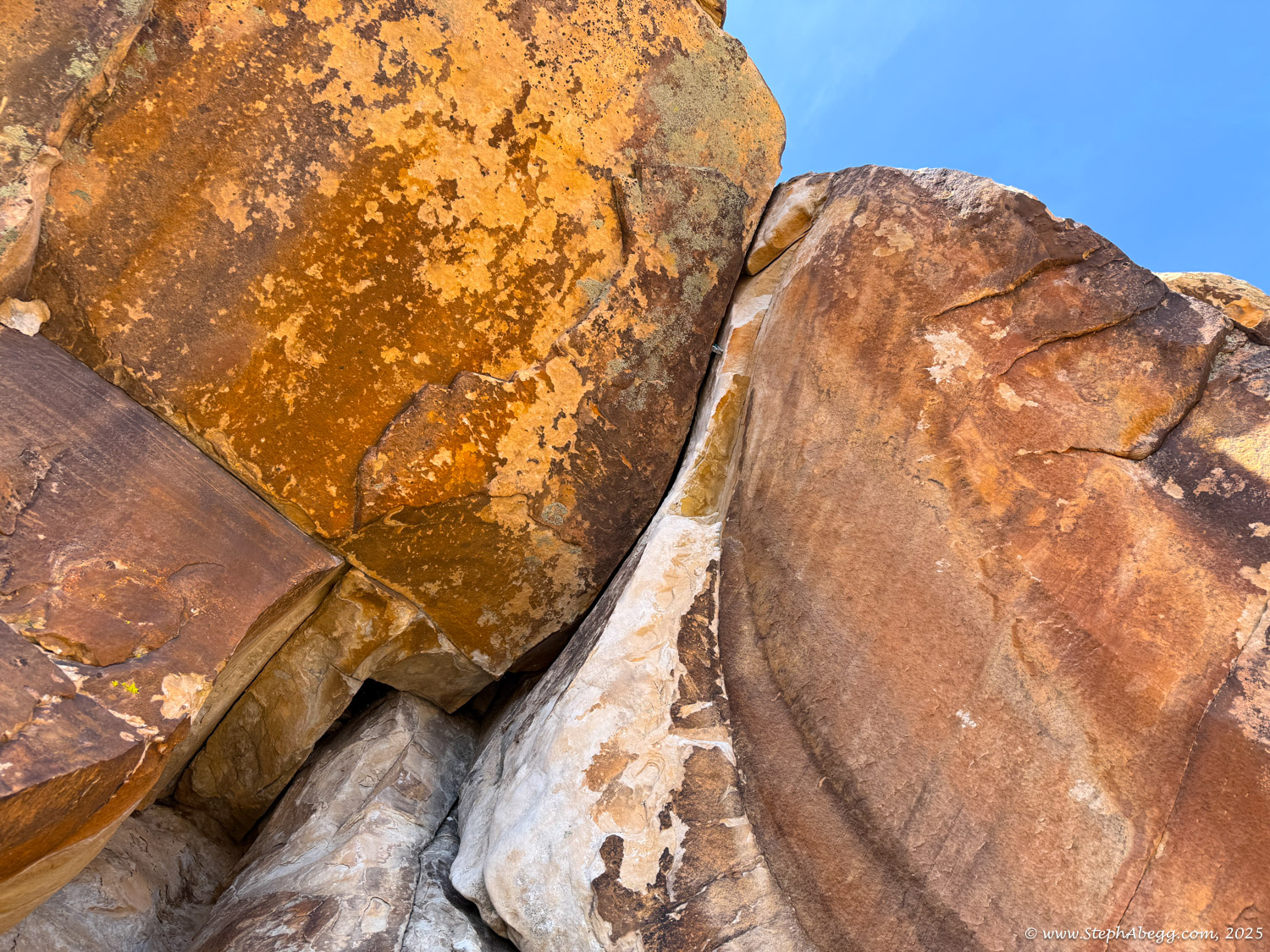
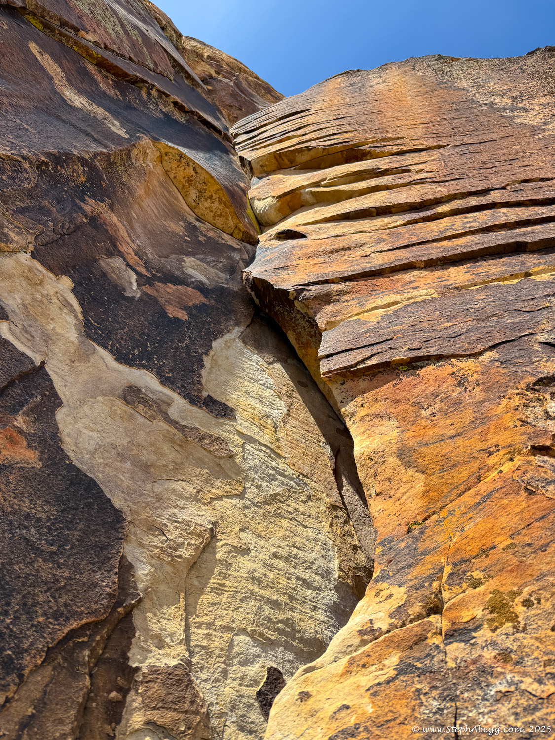
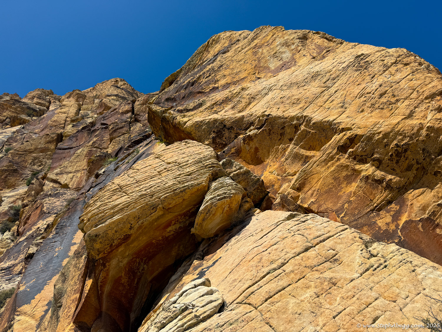
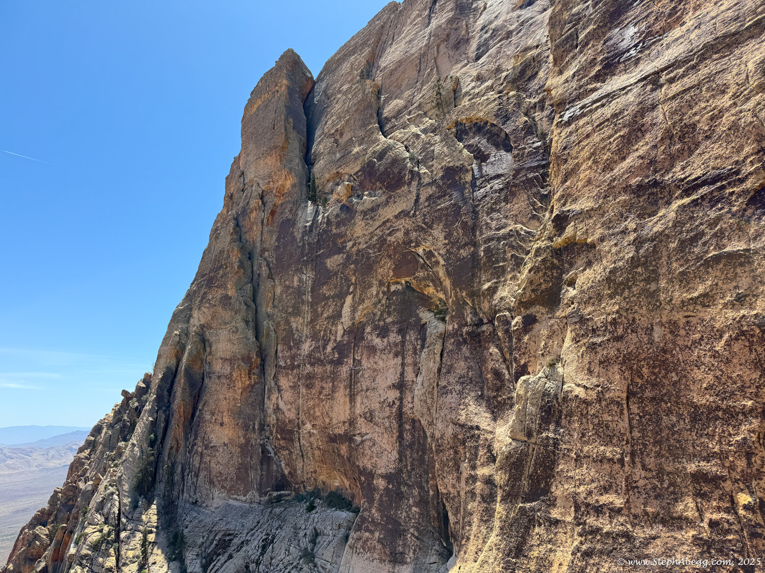
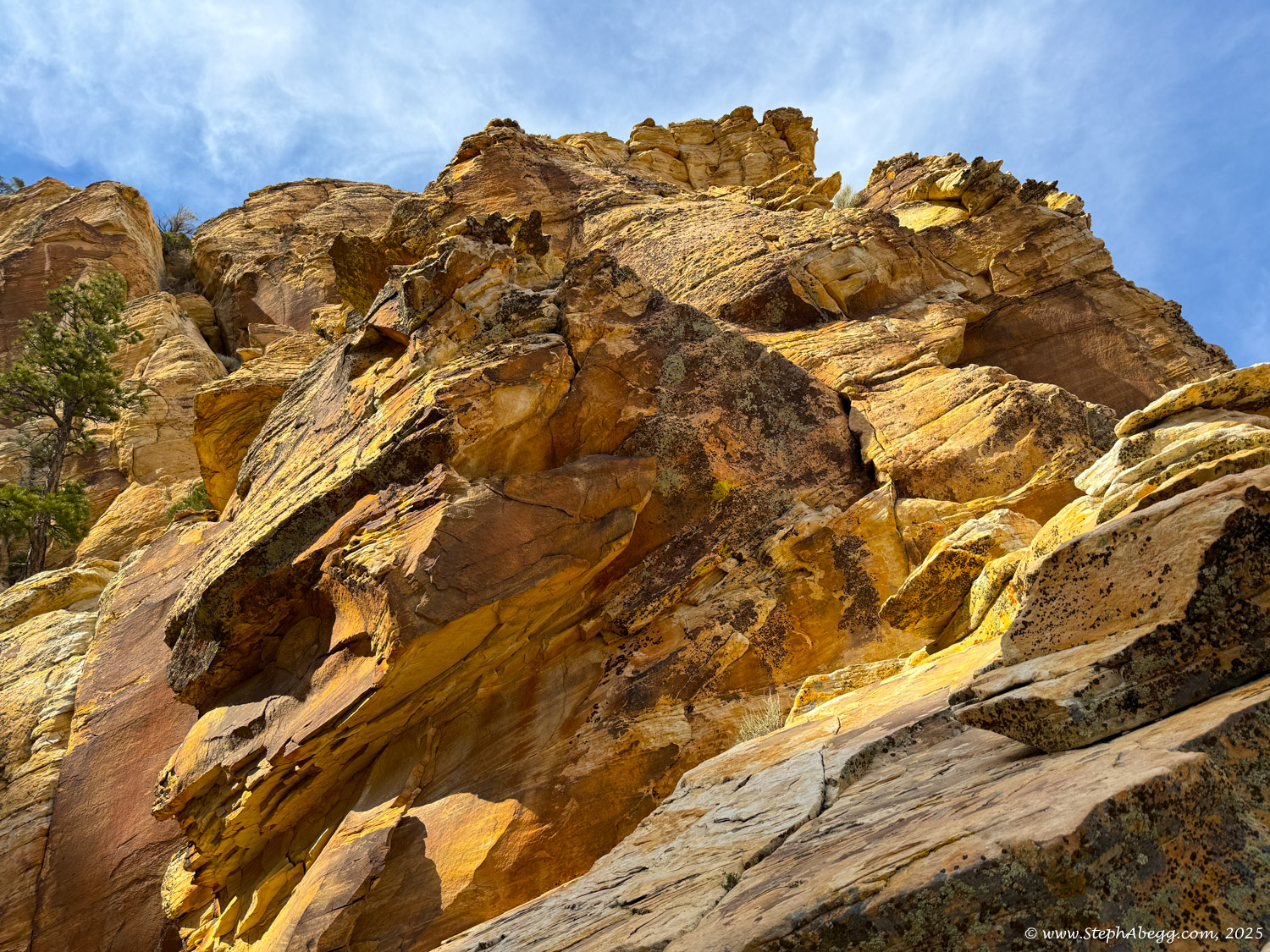
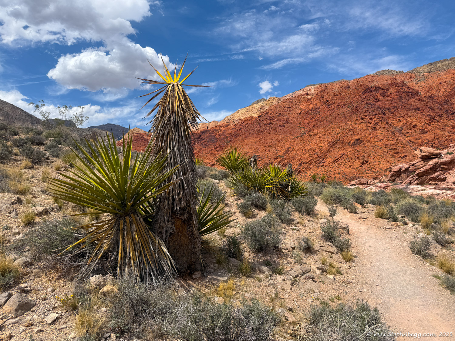
Resolution Arete climbs the long, turreted arete which forms the left edge of Aeolian Wall all the way to the top of Mt. Wilson. Despite a few scrappy sections, this is a classic alpine endeavor requiring good route-finding skills and efficient climbing. 

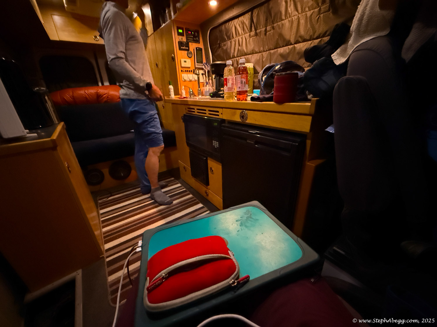
I love a good adventure route, especially one that ends on a summit. I'd had this route on my Red Rocks to-climb list for years. Every time I looked at Mt. Wilson it beckoned me. In Spring 2025, I found myself on an impromptu climbing road trip with my friend Nate Beckwith. (Funny story: I had left my home in Estes Park on what I planned to just be three days in the Creek before returning home. It ended up being a six week climbing road trip involving Indian Creek, Zion, Lime Kiln Canyon, and Red Rocks.) Nate's plan for the spring was to get strong by hitting various sport climbing areas. My plan was to climb big routes. So we worked out a deal - I would join him sport climbing as long as we threw a big route into the schedule on occasion. The first of these big routes had been The Moonlight Buttress (5.12c, 11p, 1200') in Zion. Followed by a week of sport climbing at Lime Kiln Canyon in Arizona. This inched us closer to Red Rocks. So that's where we headed, with the plan to sport climb at Clear Light Cave at Mt. Potosi and break up the bolt-clipping with an occasional big route. Our first big route was The Original Route (5.12a, 13p, 1000') on Rainbow Wall. A week later, we climbed
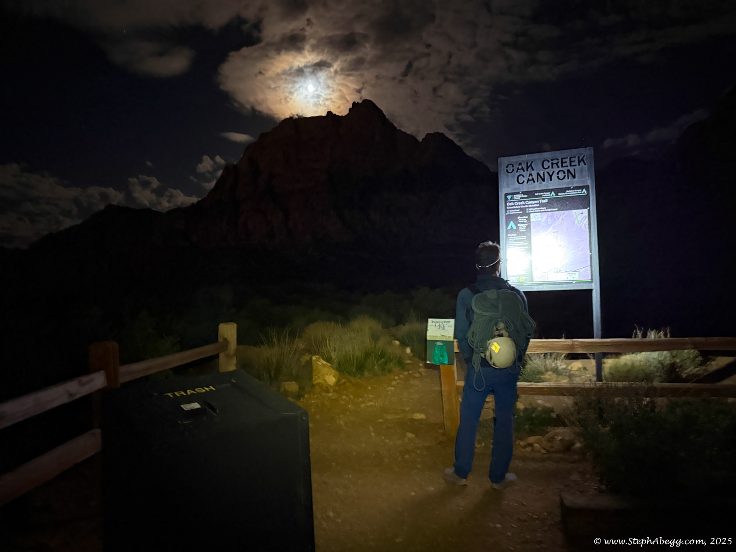
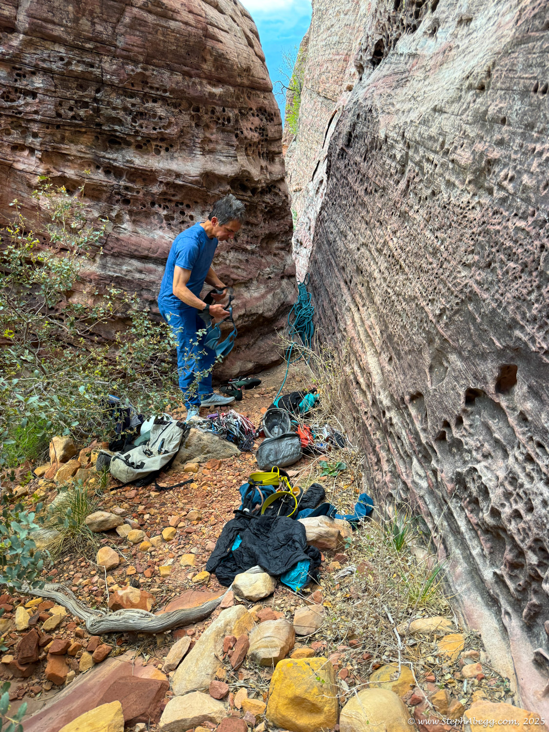
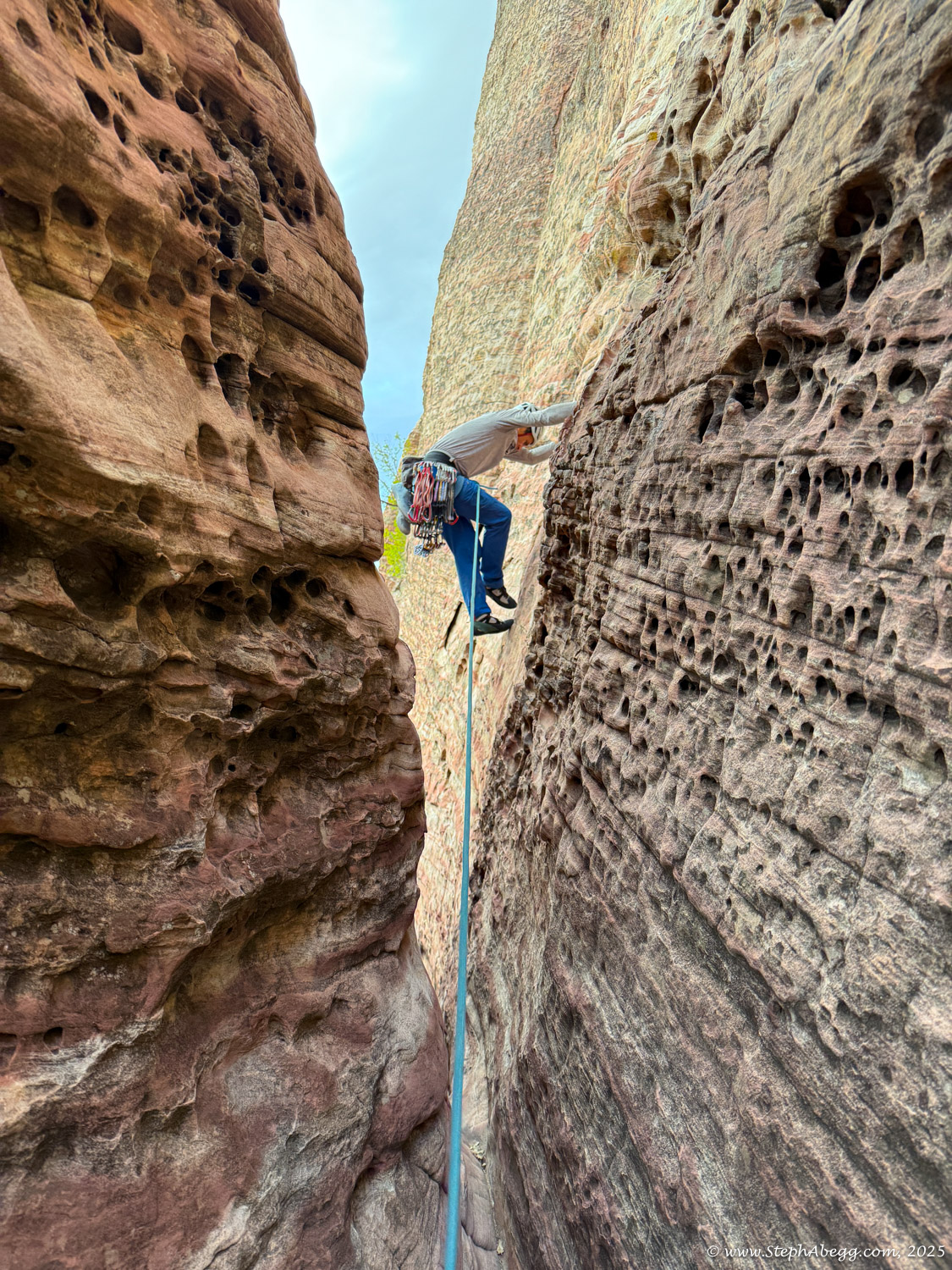
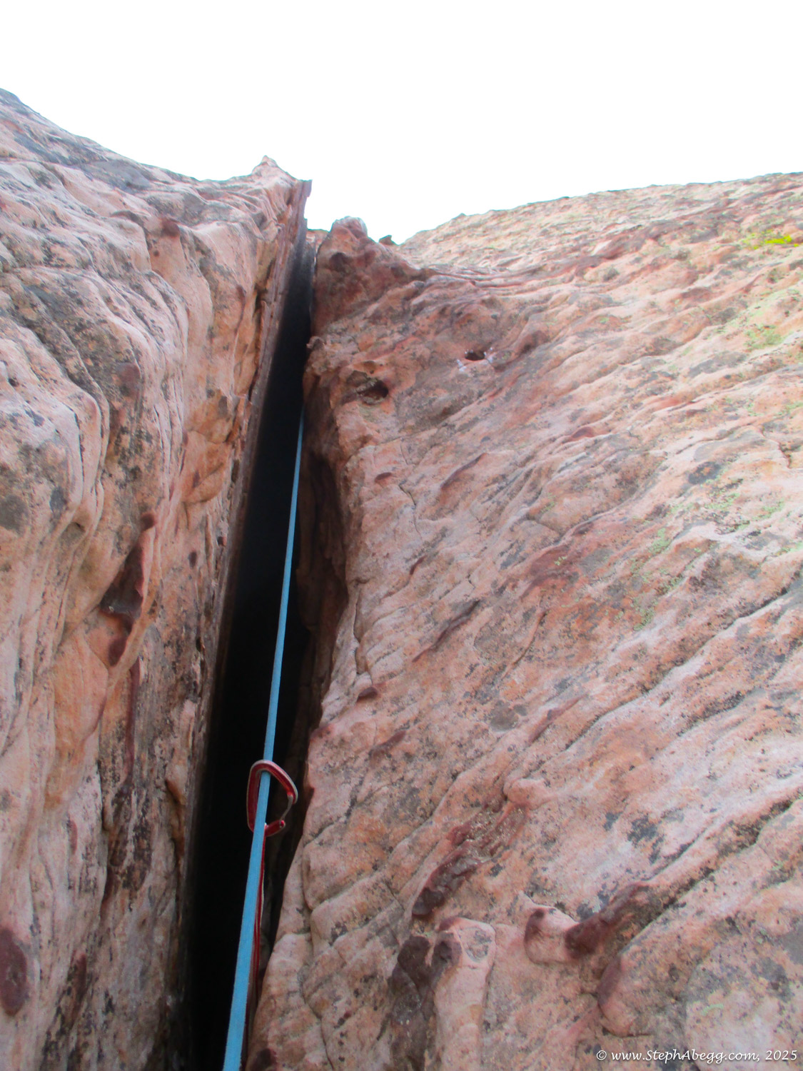
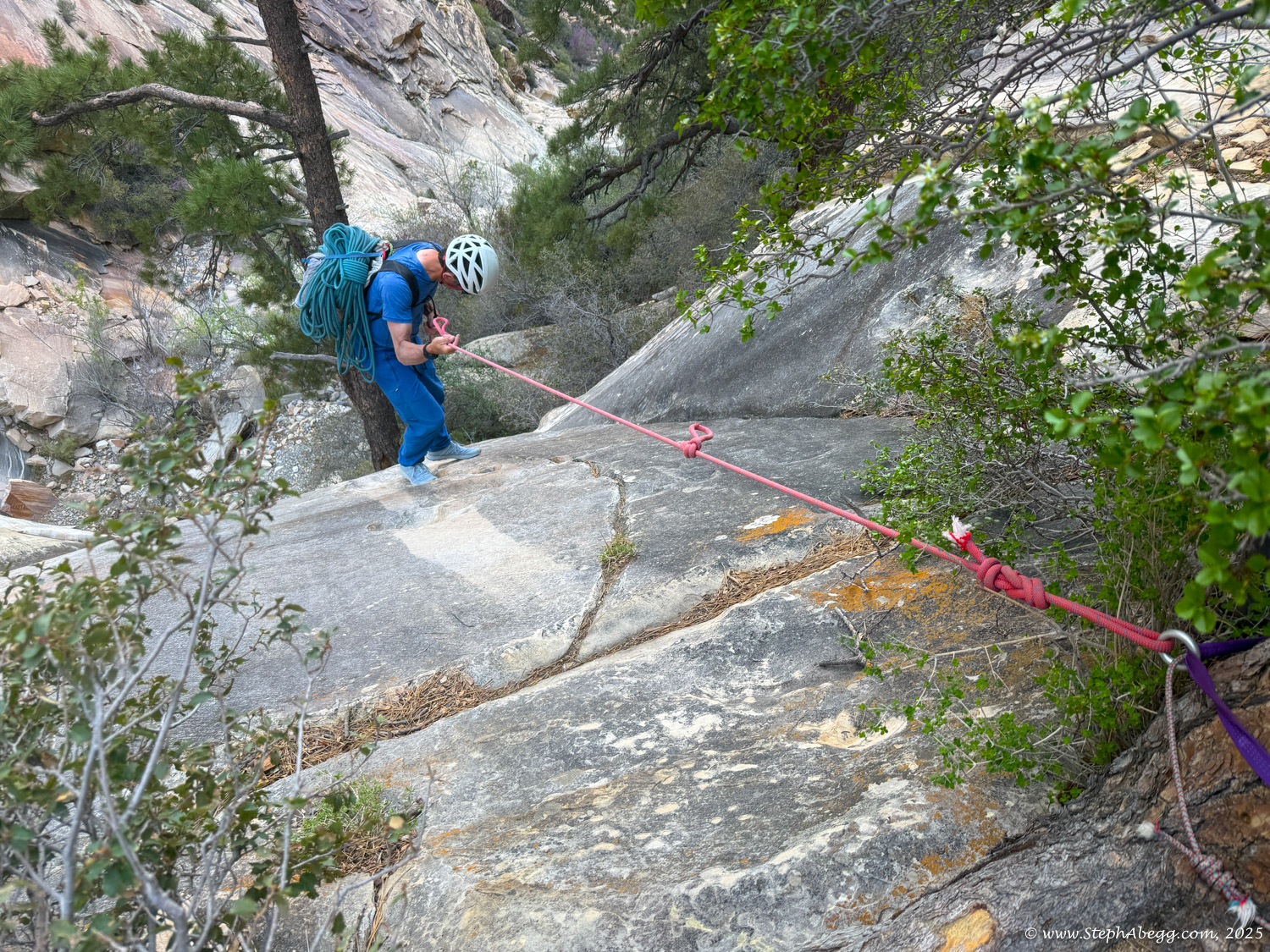
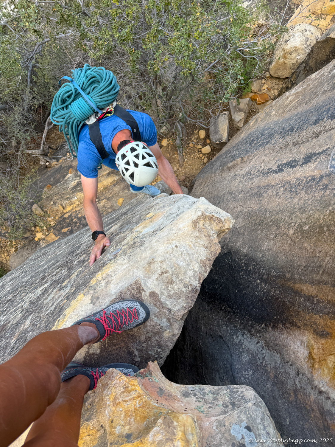
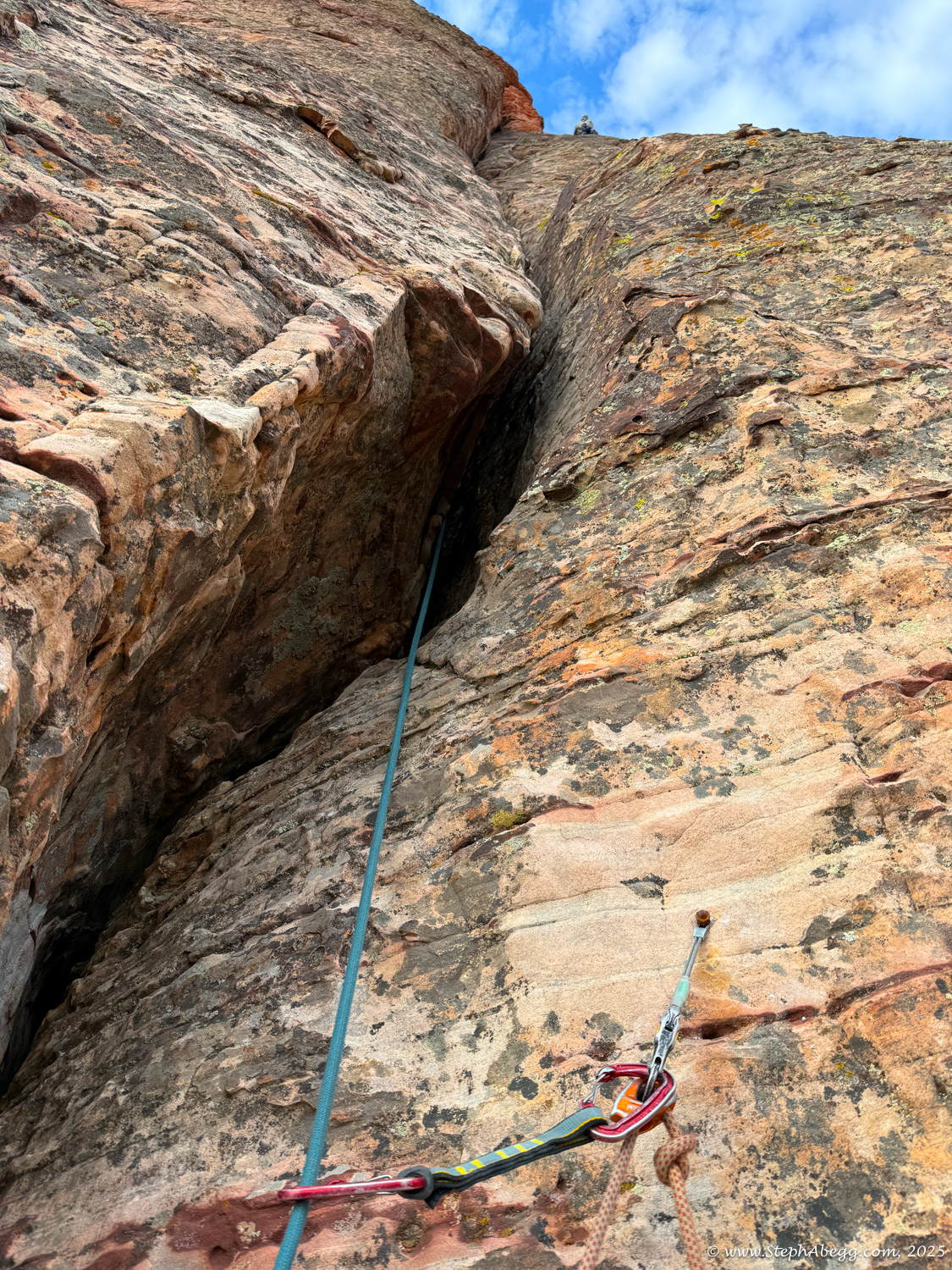
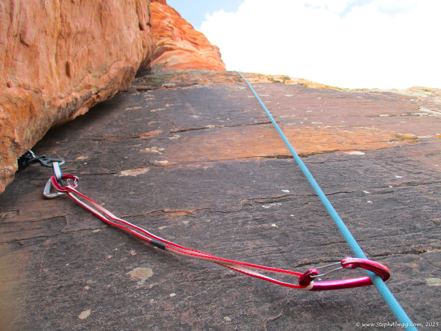
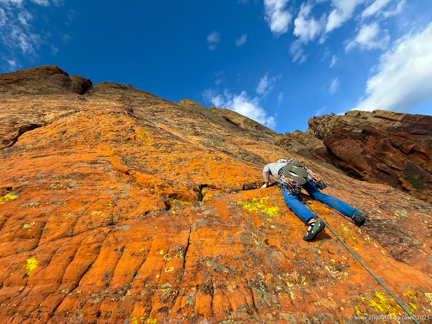
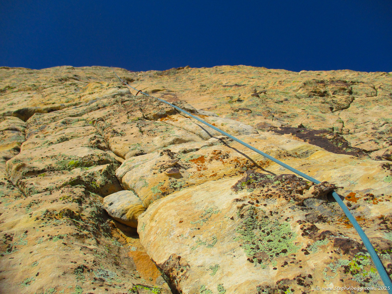
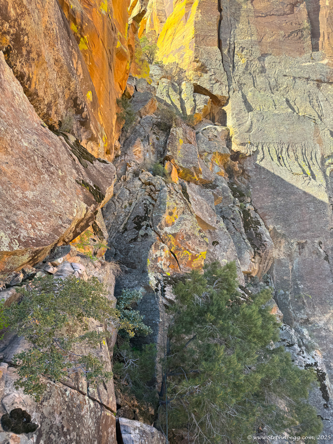
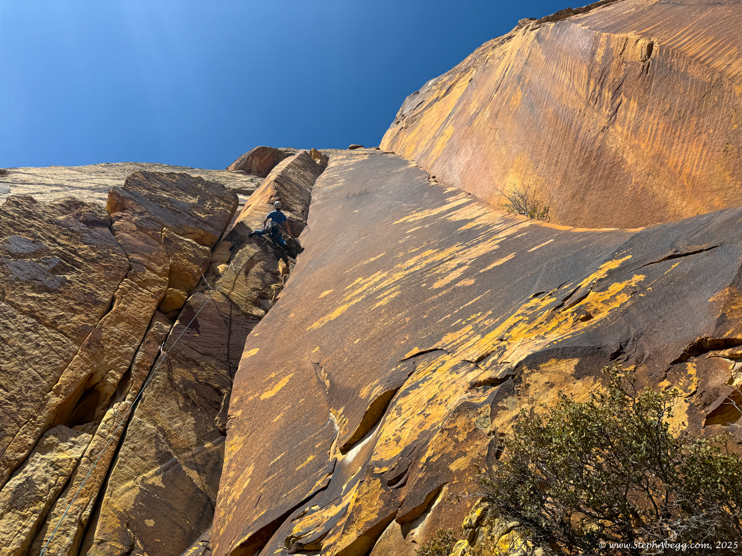
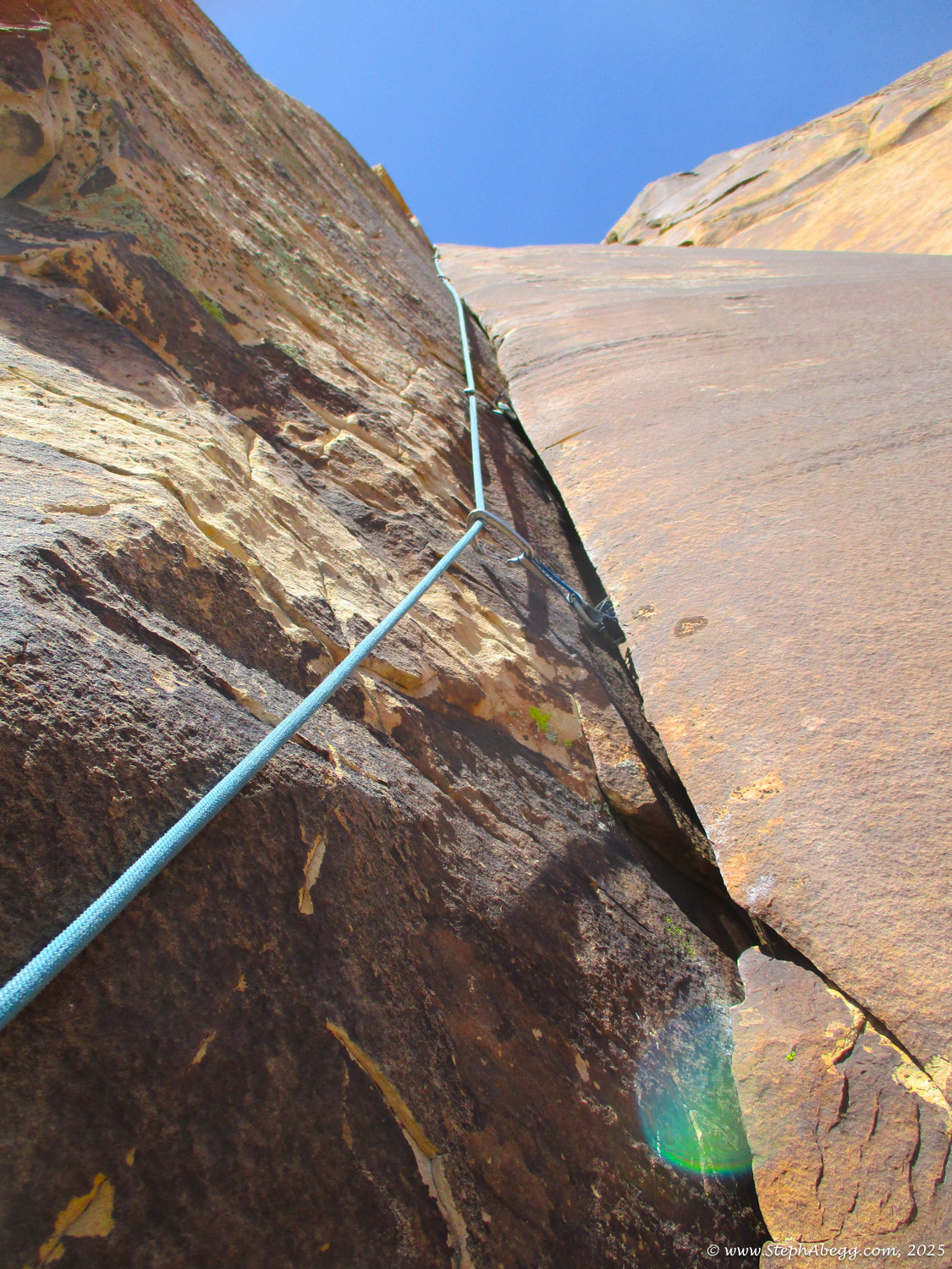
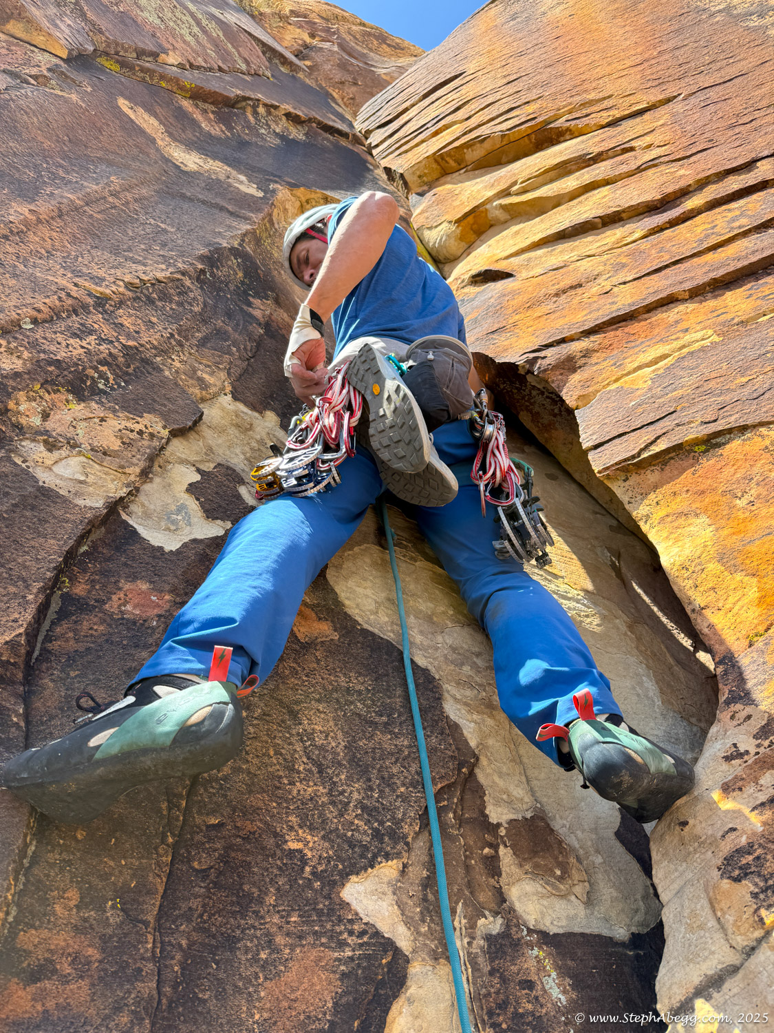
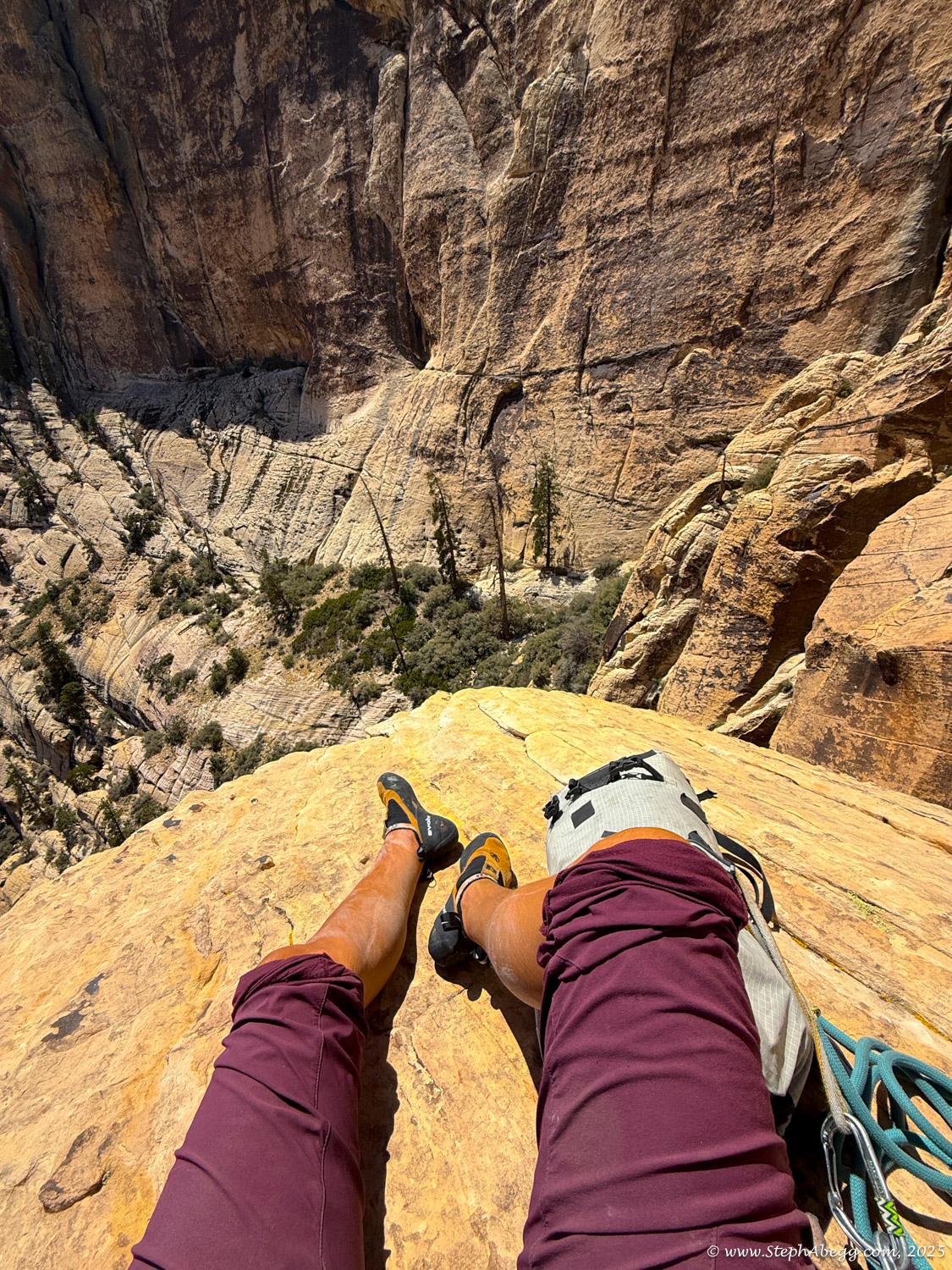
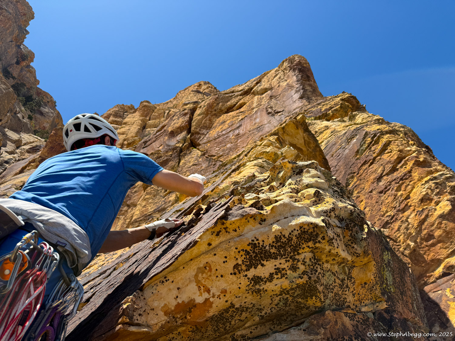
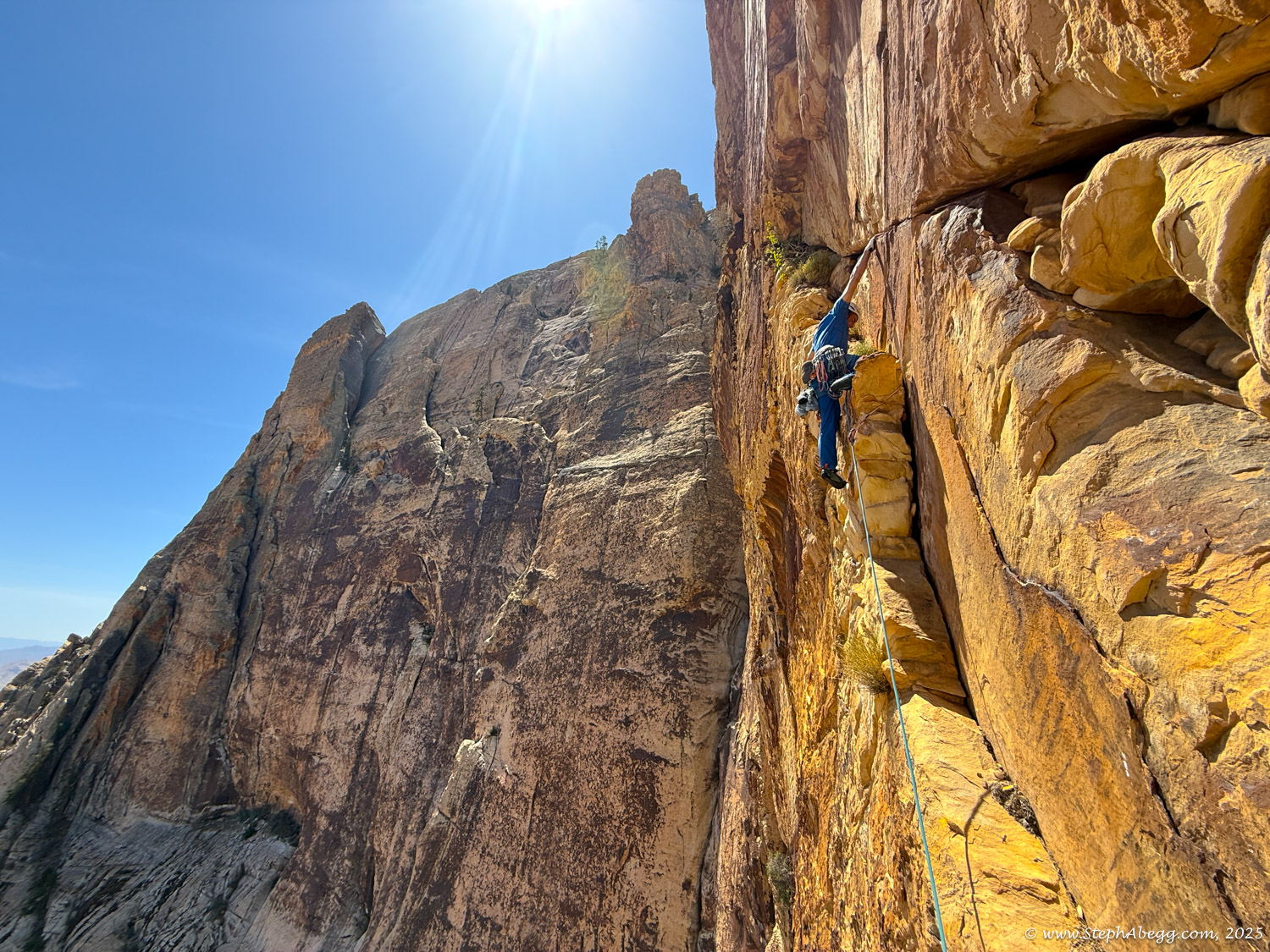
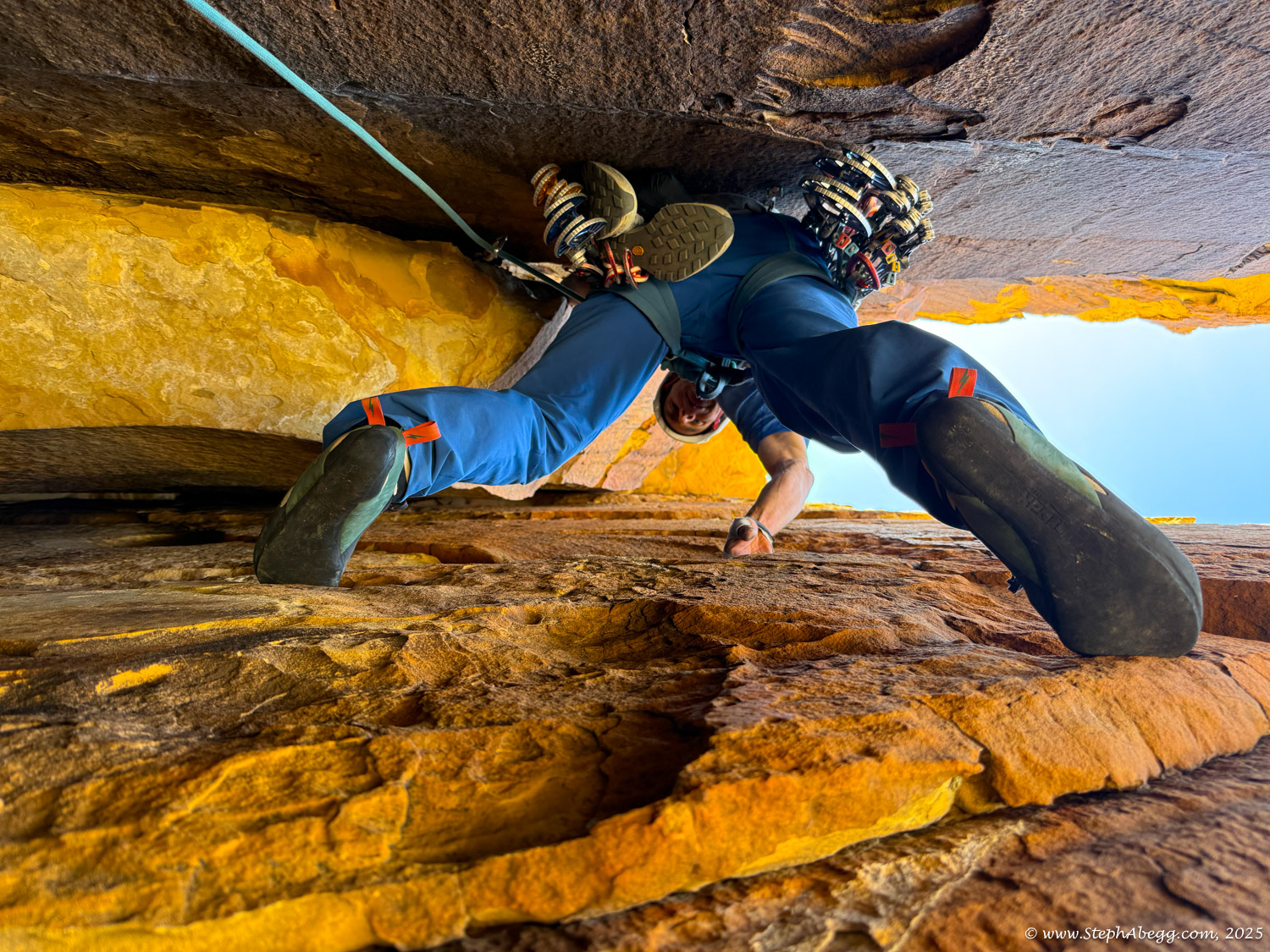
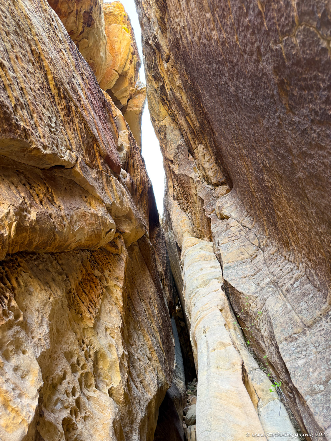
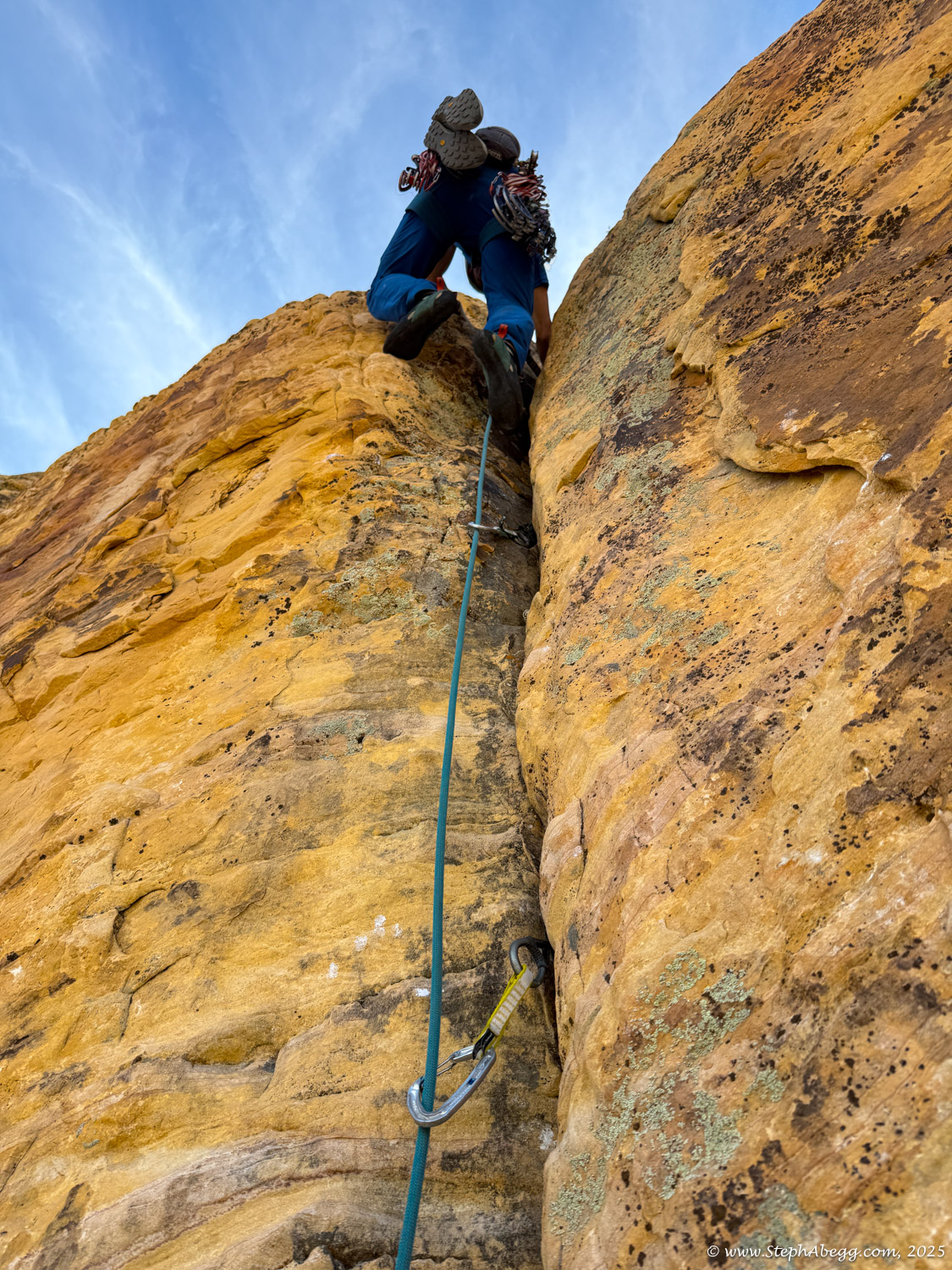
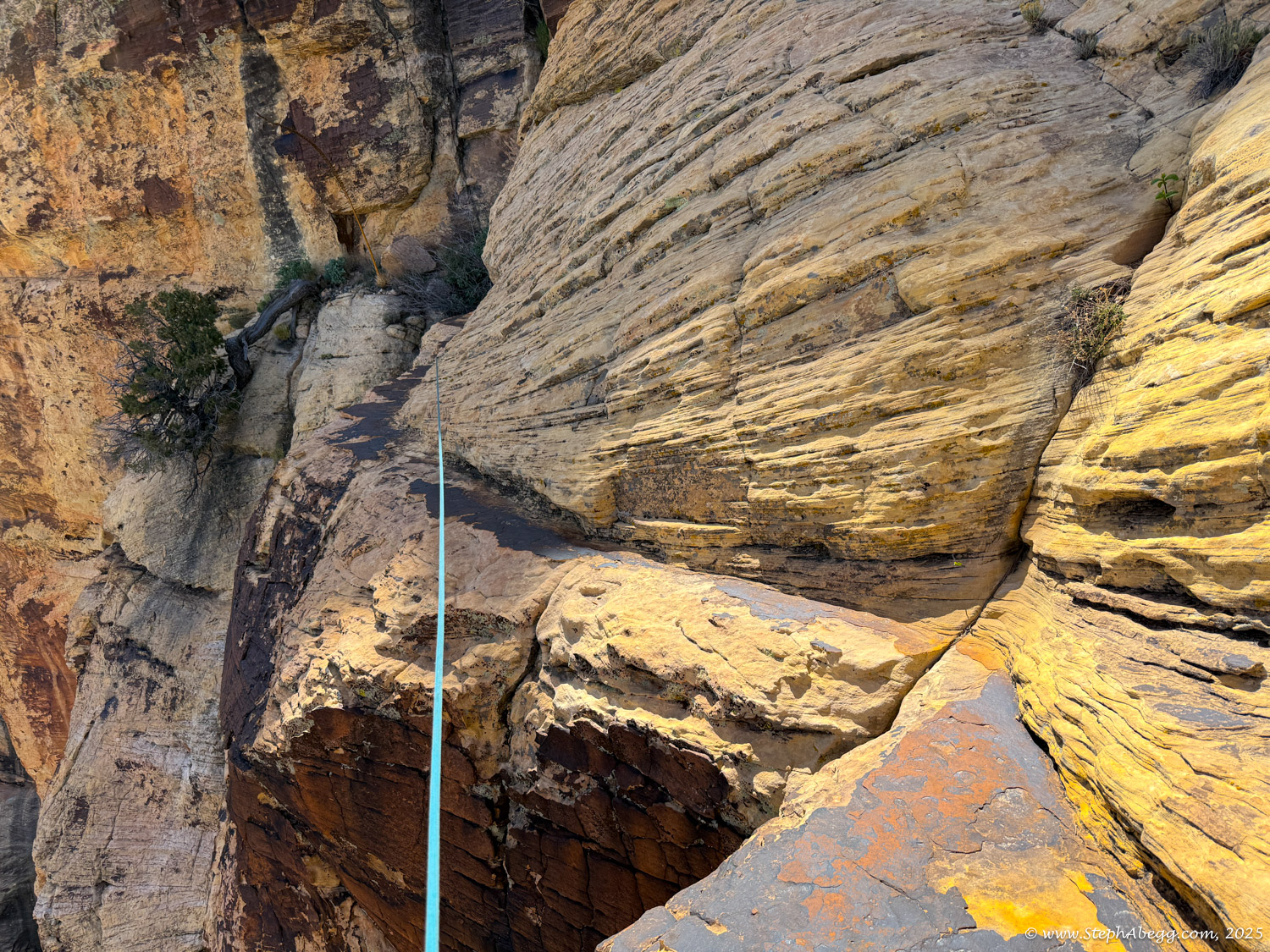
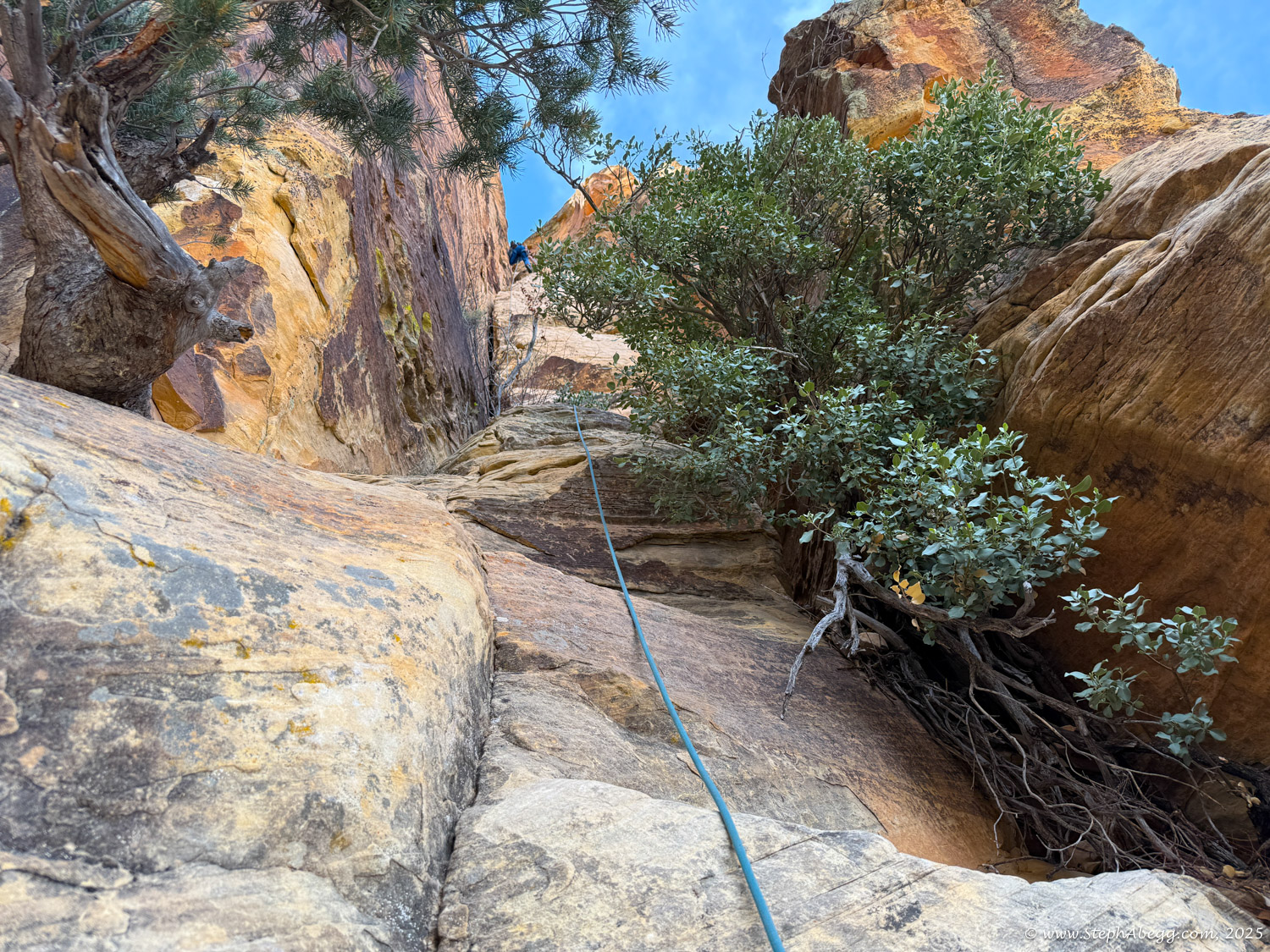
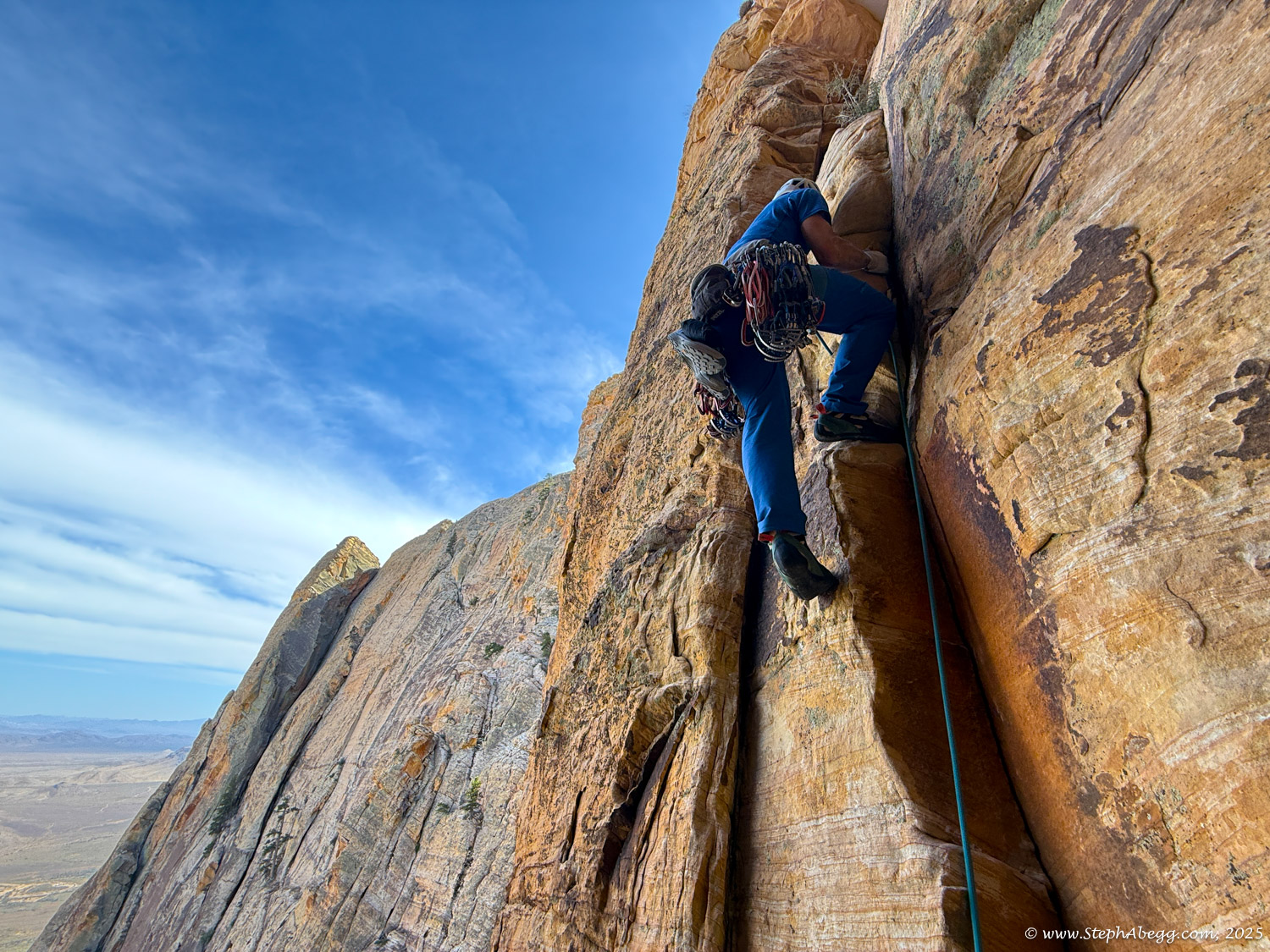
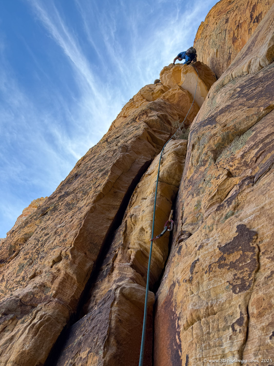
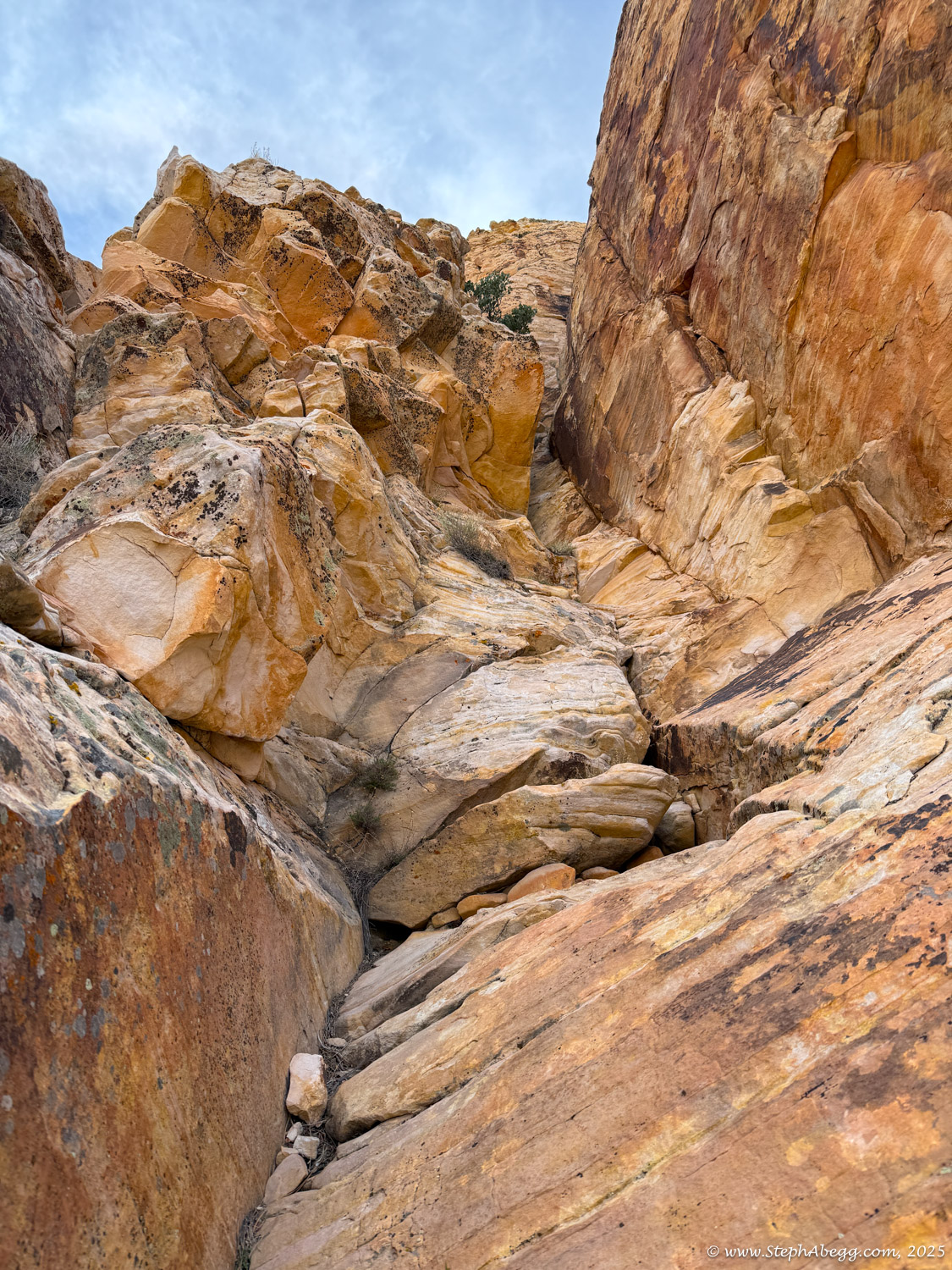
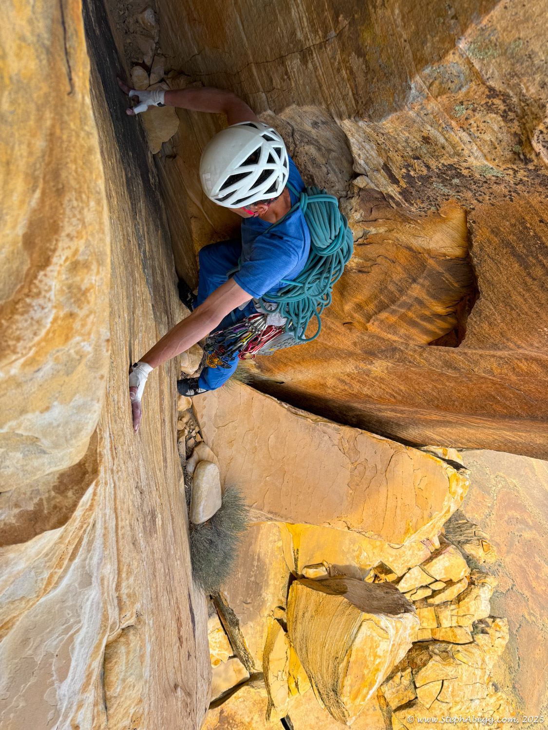
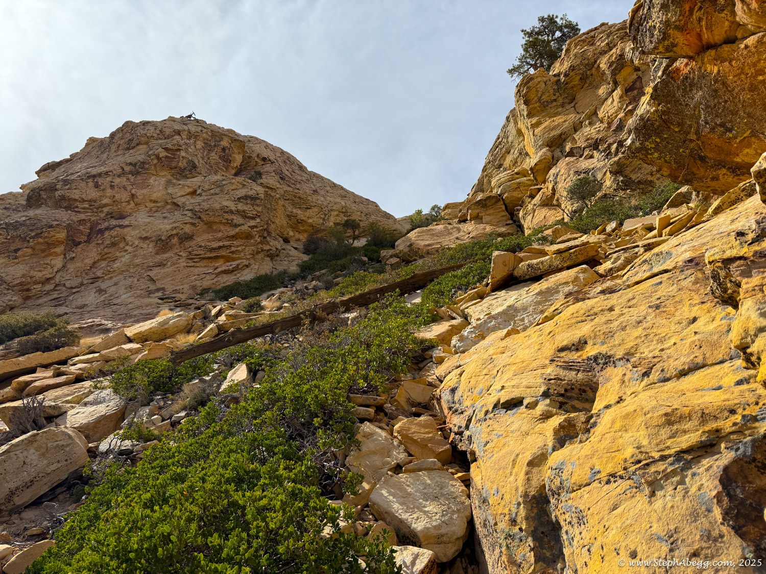
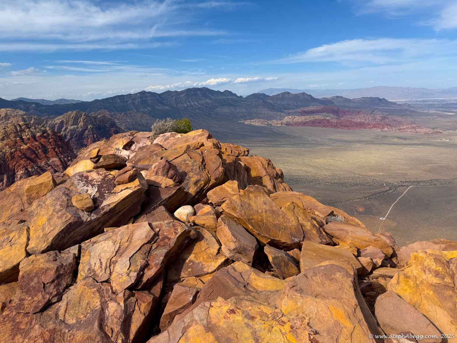
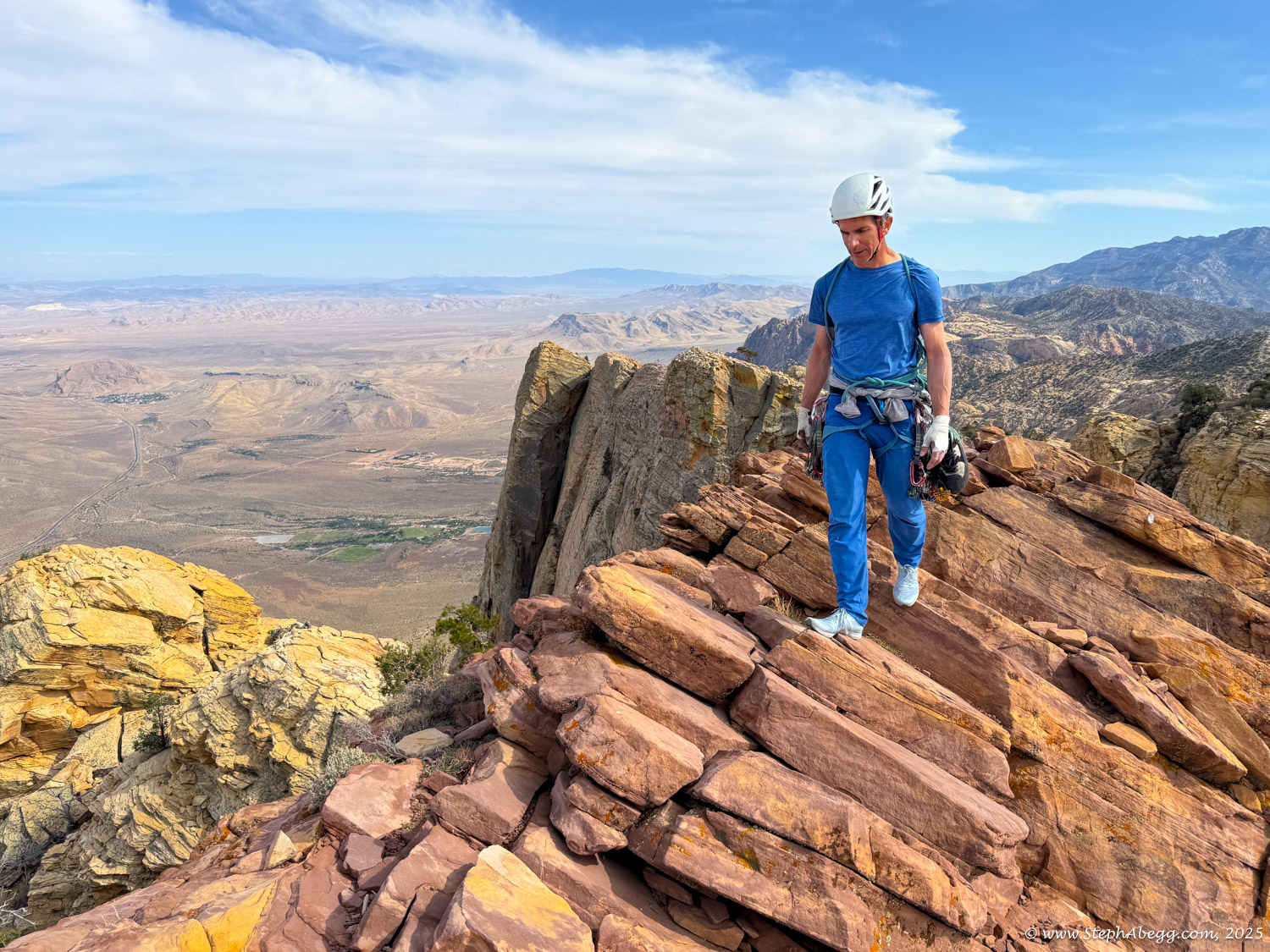
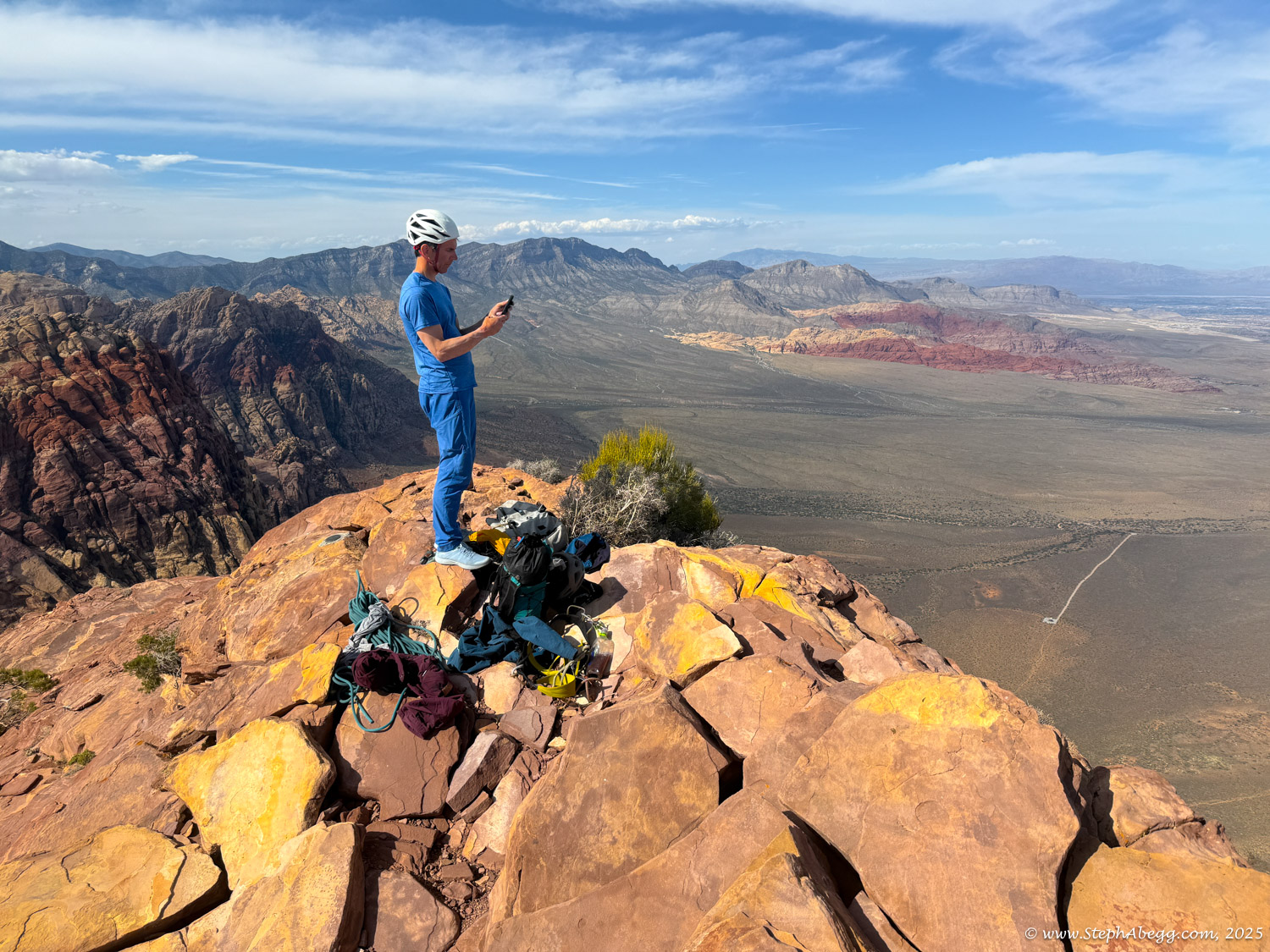
 Resolution Arete.

I thought that 
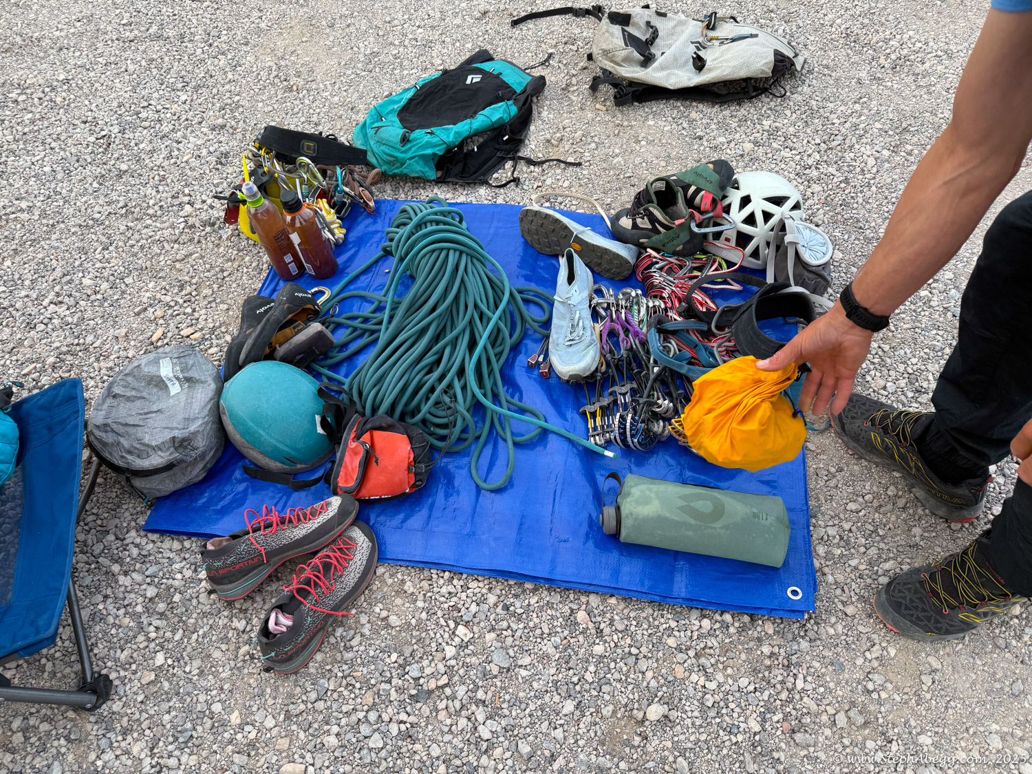
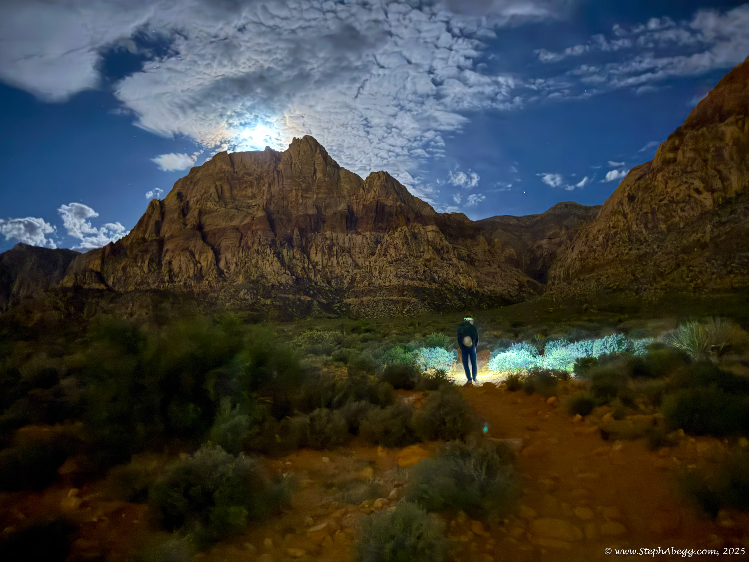
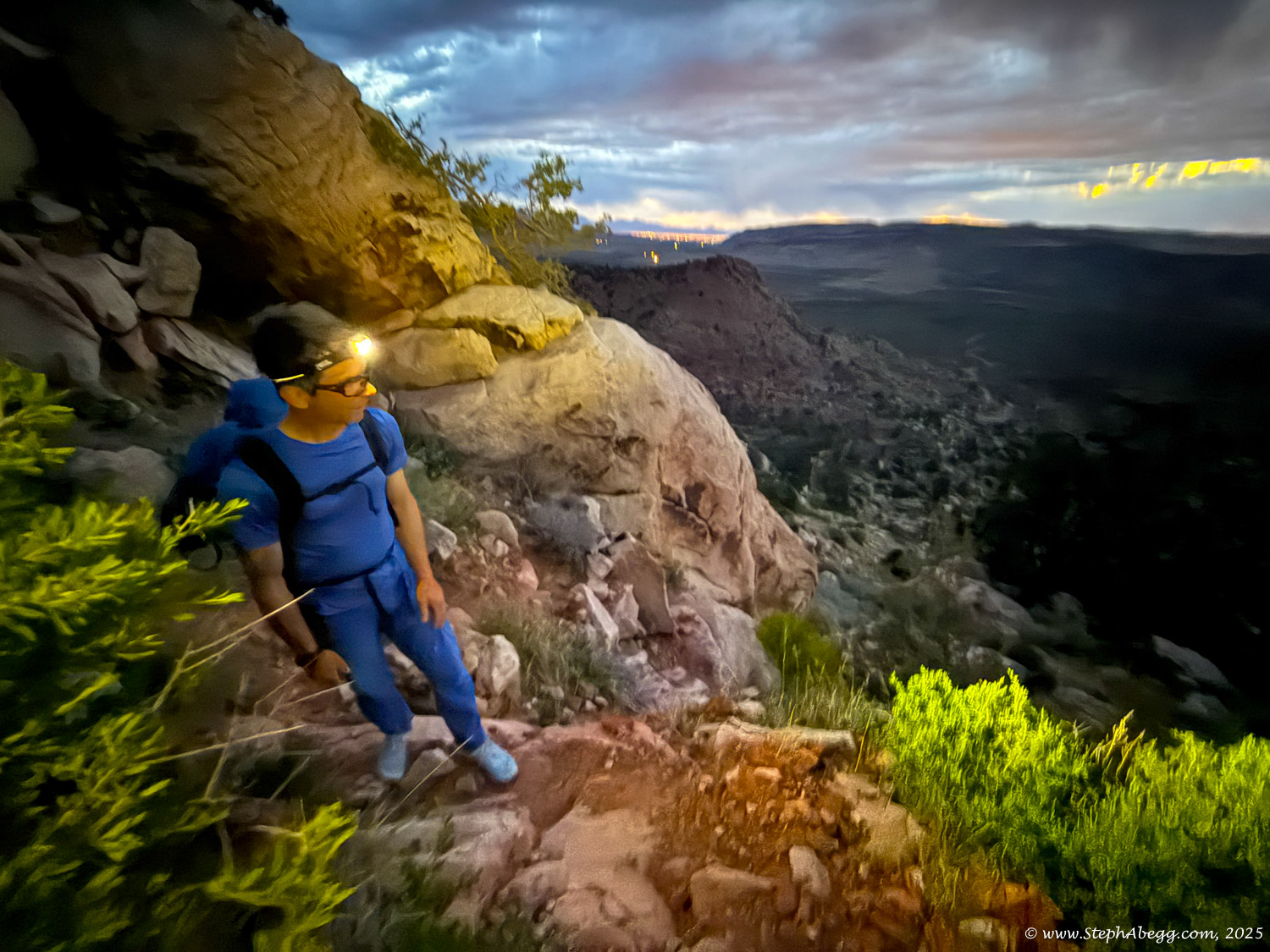
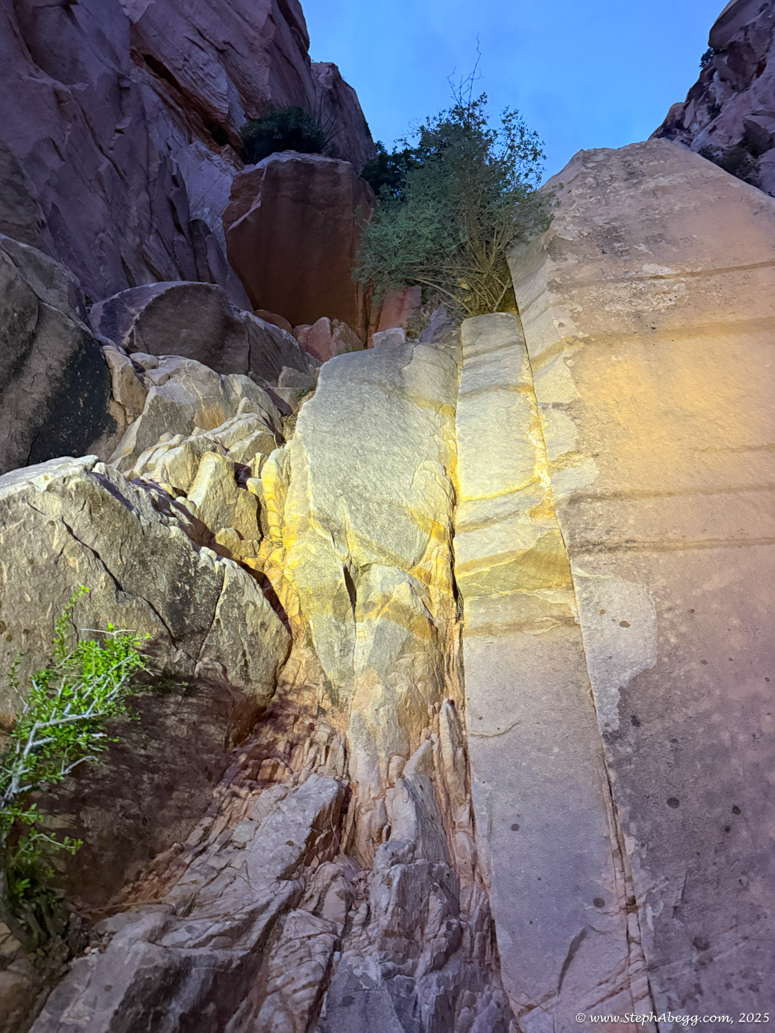
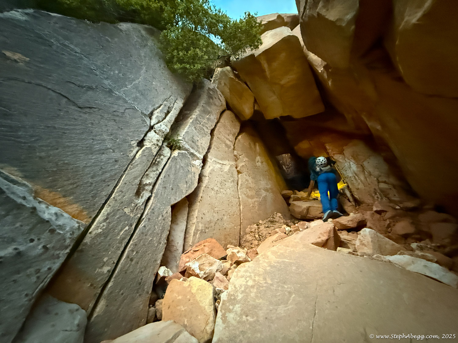
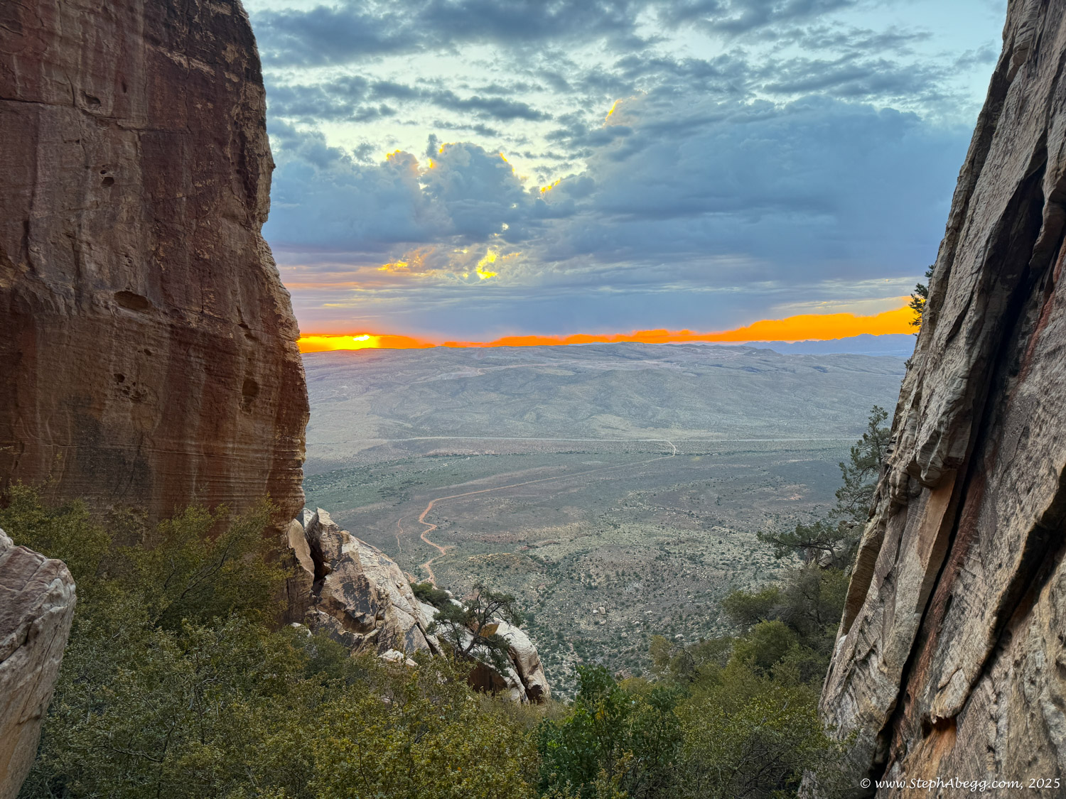
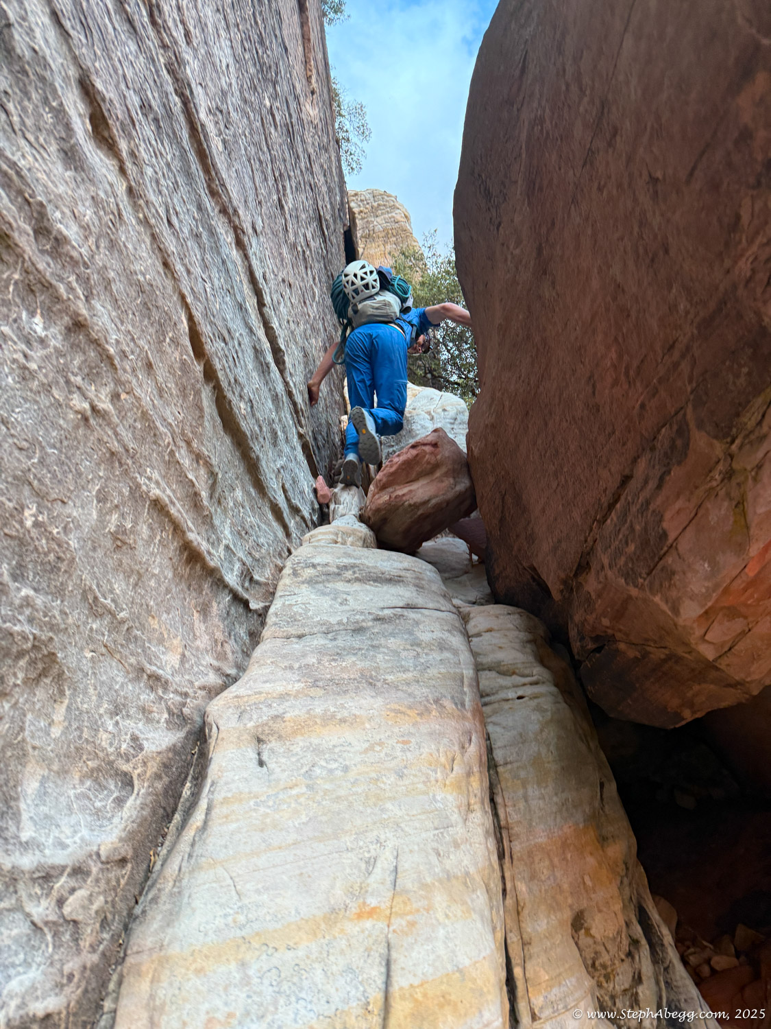
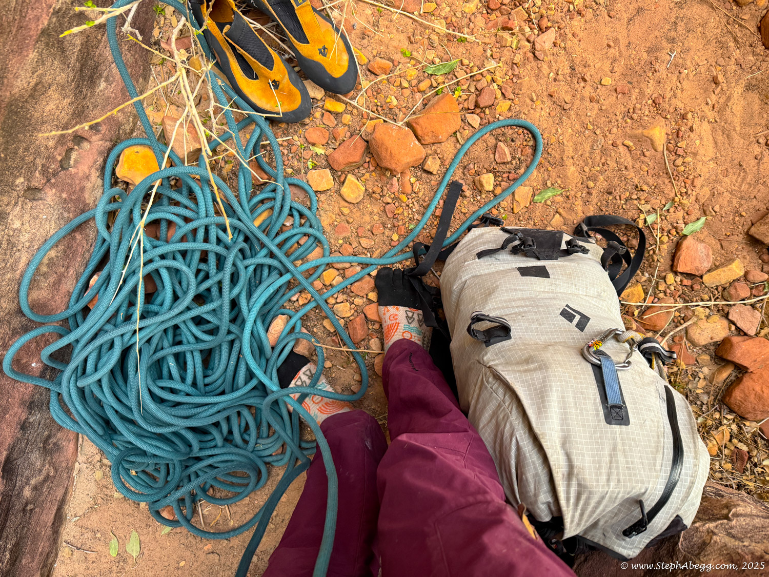
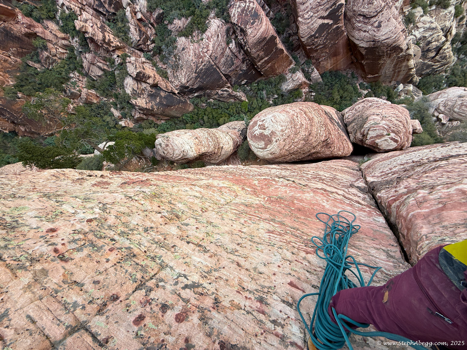
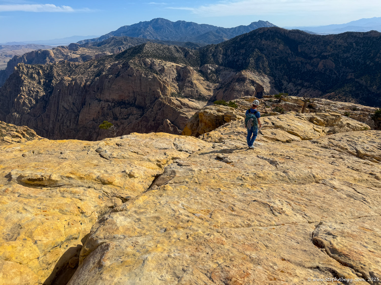
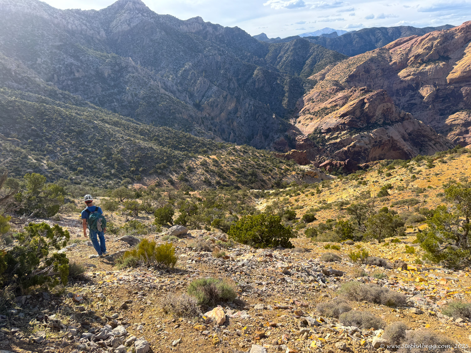
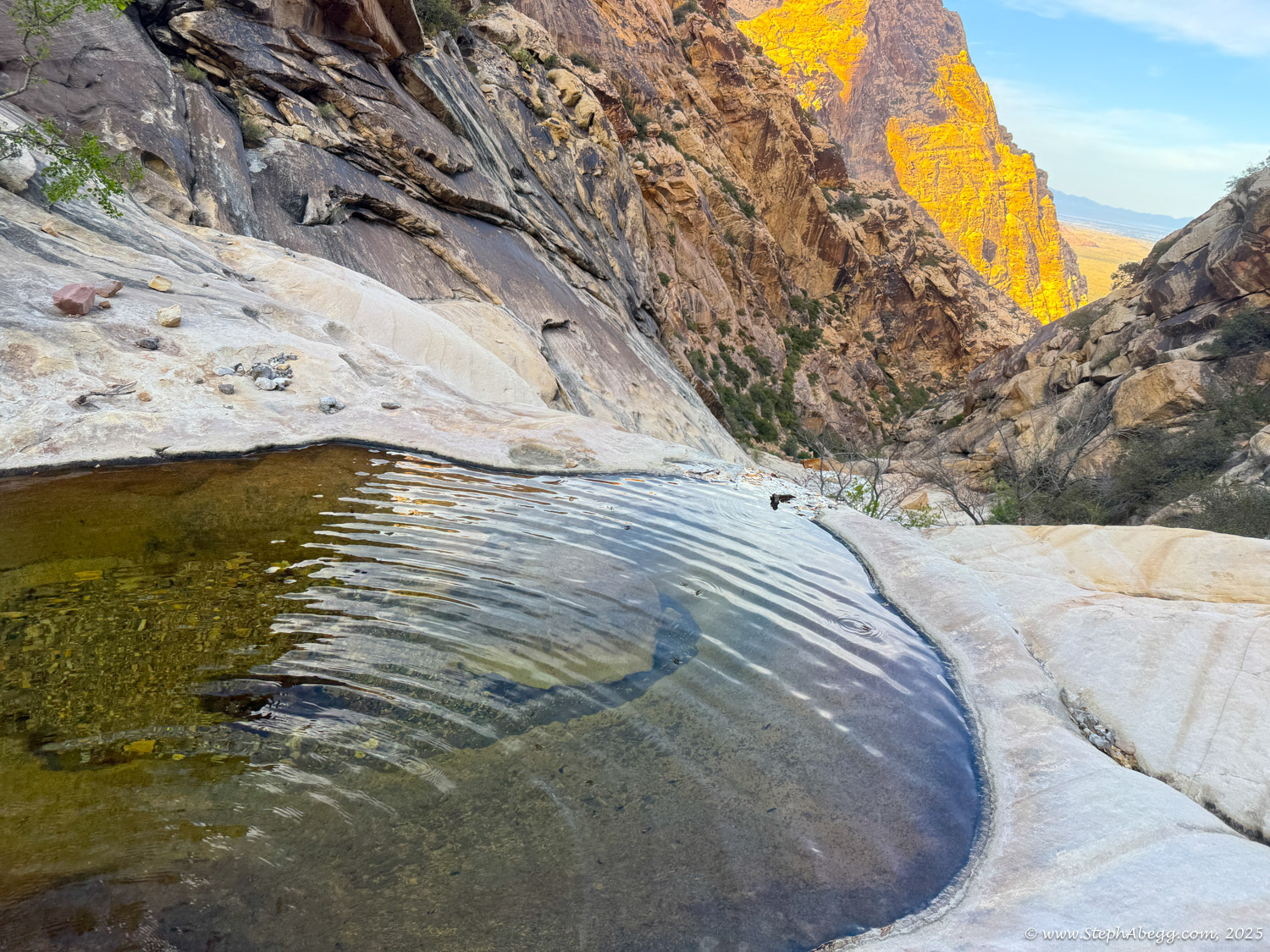
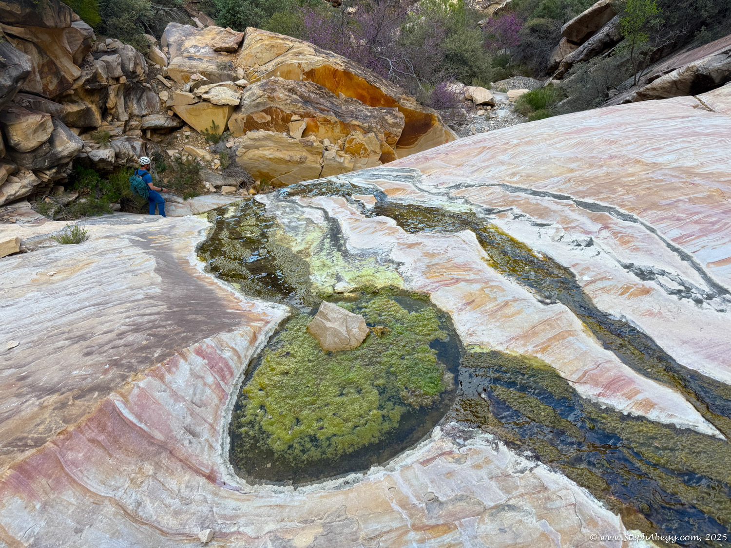
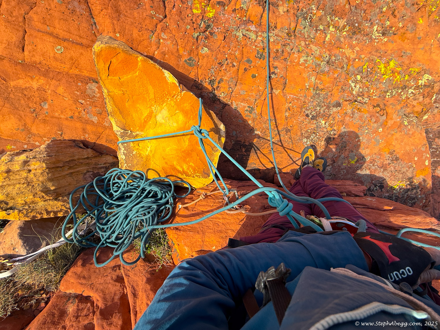
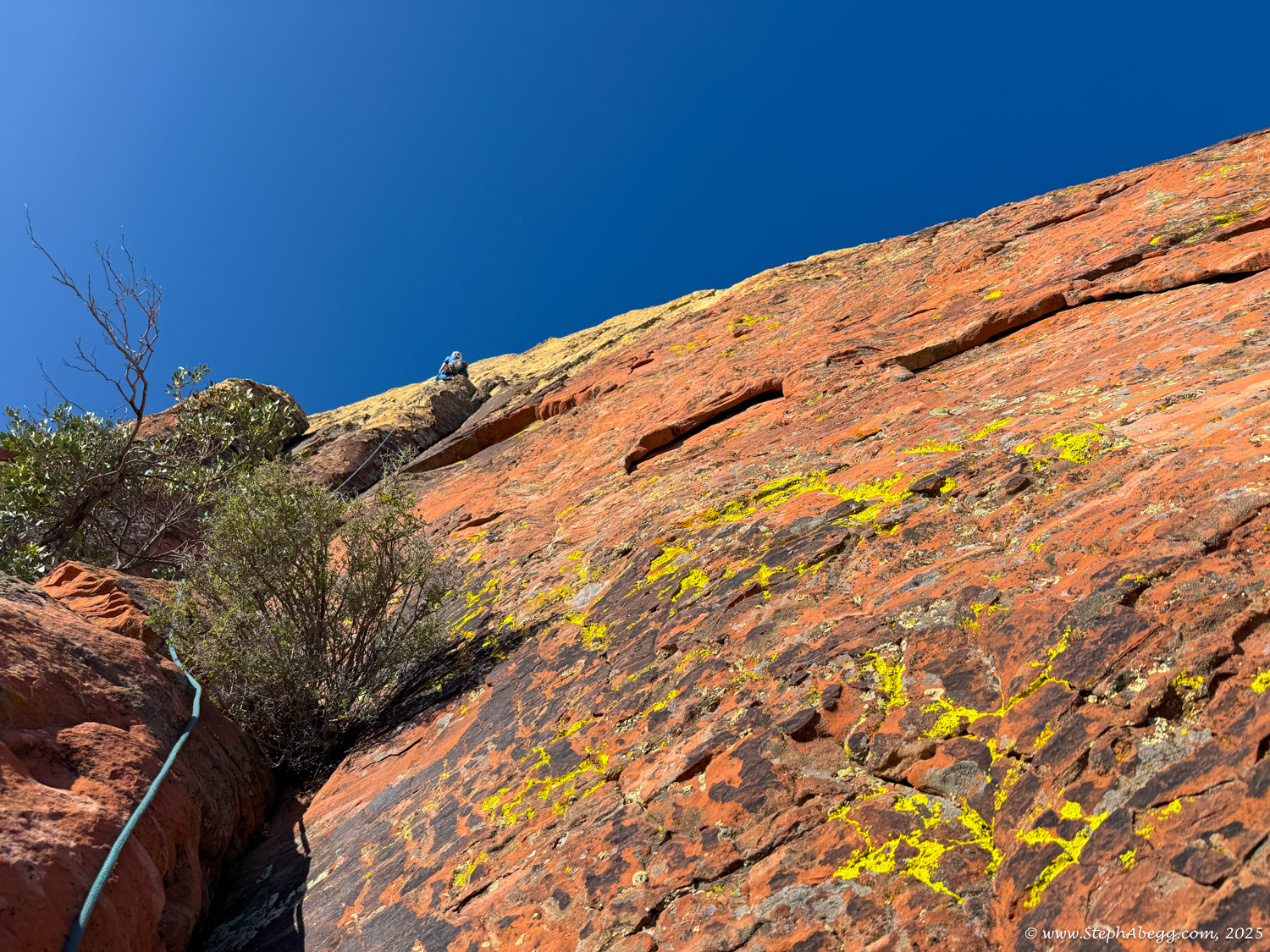
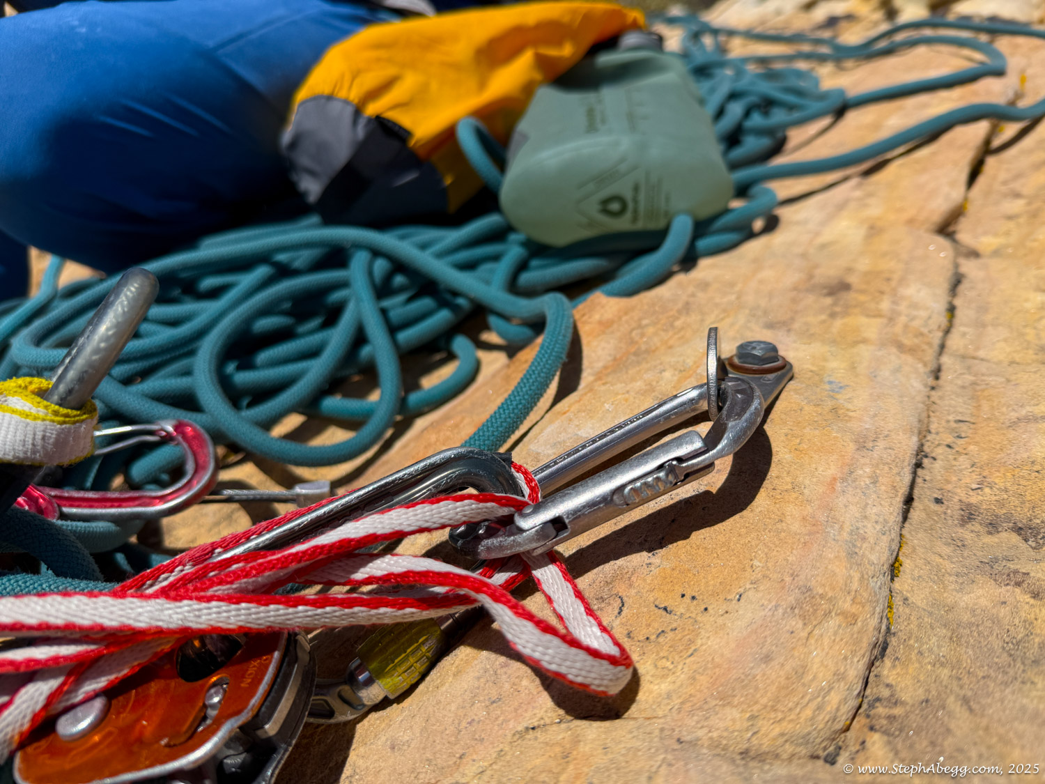
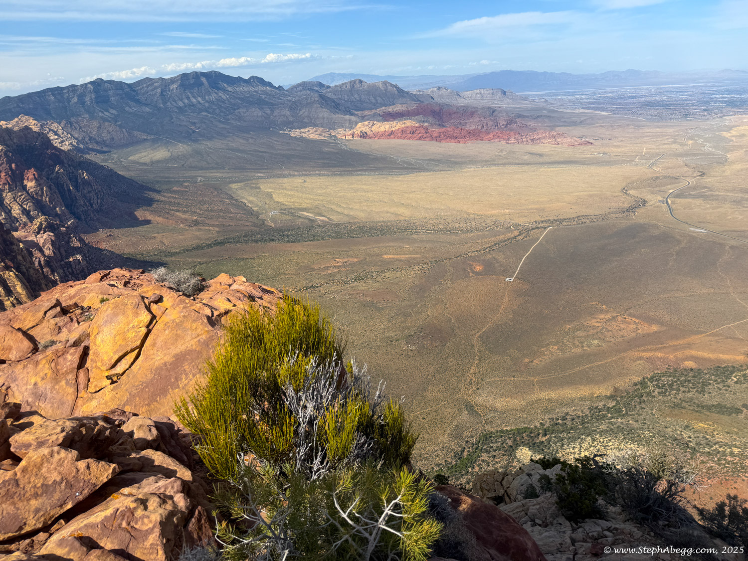
Resolution Arete was a classic long adventure route, with varied and good climbing throughout, with enough challenging sections of climbing to keep one engaged. We never really discussed the lead/follow plan, but Nate began leading the route and ended up leading all the way to the top. I carried the pack full of water (we started with about 1.8L each = 8 lbs of water), food, extra clothes, headlights, etc. Weather was great - it started off a bit cloudy but cleared by mid-morning into a sunny day. But the higher elevation and a slight breeze prevented it from ever feeling too hot. We checked the route description at the start of every pitch except one pitch (Pitch 5), and we only got off route once (Pitch 5), but only by a bit.

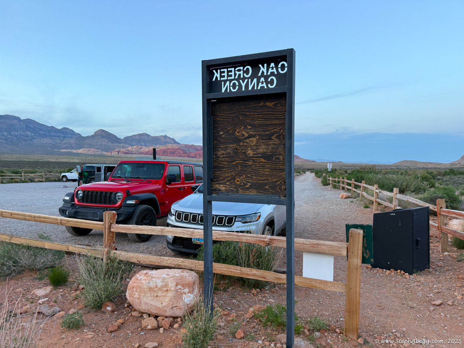
The following page gives a route overlay, time stats, and photos from our climb.

My adventure trad desires were fully satisfied by this route, at least for a week. I am now looking forward to some sport climbing!

Weather Forecast

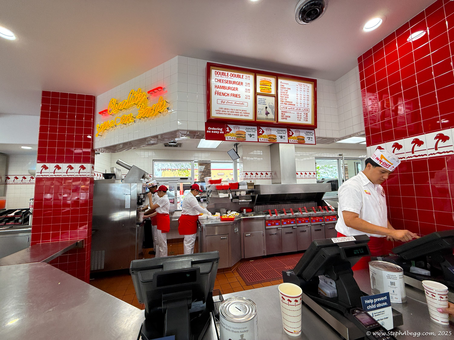
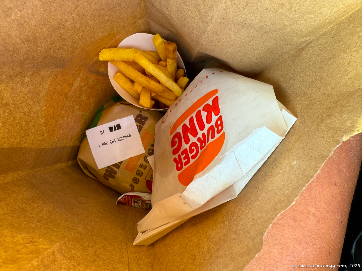
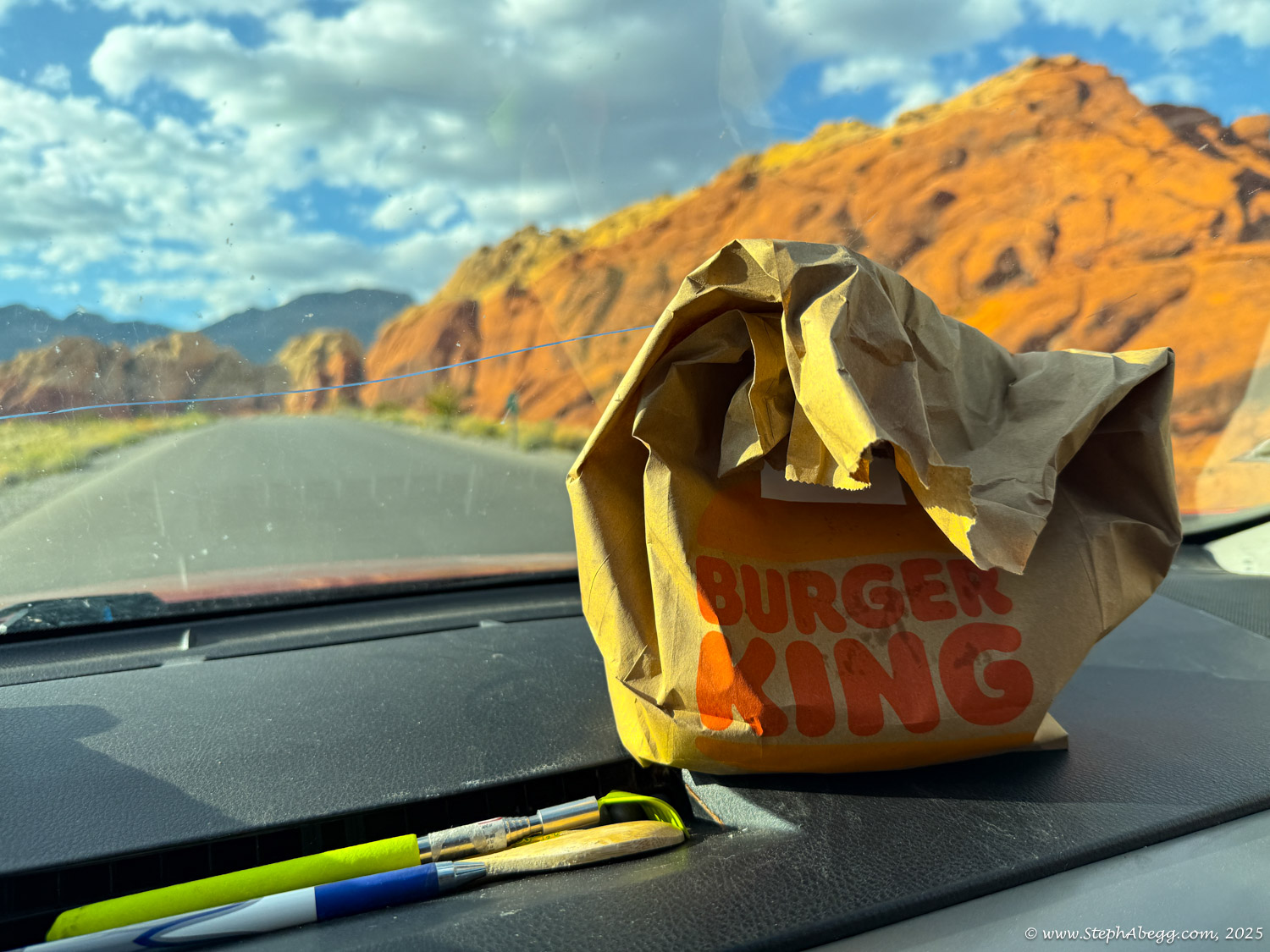
High 80's in Vegas means comfortable on Resolution Arete.

Time Stats

Times
Leave Oak Creek Trailhead: 4:38 am
Base of route: 6:30 am
Start climbing: 6:51 am
Top of Mt. Wilson: 3:51 pm
Begin descent (via Oak Creek drainage): 4:12 pm
Oak Creek Trailhead: 7:17 pm
Splits
Approach: 1 hour 52 minutes
Climb route: 9 hours
Descent (via Oak Creek drainage): 3 hours 5 minutes
Total time (car-to-car): 14 hours 39 minutes

Our Rack

We brought a single rack to #4 with double #0.5 ad #0.75 and a set of stoppers and 10 slings. It was sufficient, but for the lower pitches an extra #1 and #2 would have been nice to have (but then you have to cart them up the upper pitches where they are less needed).

Pitch-by-Pitch Photos

Approach

3rd-4th

Map & GPX File of Approach

CLICK TO ENLARGE

Starting from the parking along the highway or from the Oak Creek trailhead, hike paths and old roads until behind the Wilson Pimple. Follow a climbers' trail to a steep gully which is the only break in the wall. Scramble up the gully, passing underneath a huge chockstone, and continue a short distance further until it is possible to go over the ridge on the left and scramble down into the main gully. The gully cuts steeply up to the west, underneath the Aeolian Wall. After 20 minutes uphill from this point, a ledge system is followed out left to a prominent, large ponderosa pine tree.

The route starts about 50 feet left of the ponderosa pine tree, in a cleft which tops a spectacular chimney.

Approach time: 1.5-2 hours.

Pitch 2

5.8, 150'
Continue up the crack to the top of a red pillar.

Pitch 3

5.9, 100'
From the right side of the pillar, face climb into a right-facing corner system. Climb the corner, past a delicate section with dicey protection. Continue to a belay in the base of a chimney.

Pitch 4

5.8, 150'
Climb the chimney and continue up to set a belay on the highest ledge, 20' above the top of a red band.

Pitch 5

5.8, 160'
Go up the face for 50', then trend right towards the lower of two pine trees.

Pitches 6&7

4th, 250'
Climb over a broken rock towards the Aeolian Wa, then go left into the notch behind a huge triangular buttress. From the notch go round to the south side of the ridge and go up 75' to the base of a corner with jammed blocks.

Pitch 8

5.9+, 140'
Climb the corer, easily at first, then past a beautiful section of 5.9+ stemming to a belay in an alcove.

Pitch 9

5.9, 100'
Climb over blocky rock, trending left. Belay 20' below a large roof.

Pitch 10

5.11d (5.9+ C1), 100'
Climb up to the roof, then undercling/lieback around right (crux). Once around the corner, 5.9+ face leads to a belay at the base of a thin, smooth left-facing corner.

Pitch 11

5.10d, 80'
Climb the corner until it is possible to step left to easier climbing. Belay on a large sloping ledge with a bolt. (The FA party rapped from here to Sherwood Forest for a more comfy bivy, then ascended the ropes to continue the climb.)

Pitch 12

5.8, 150'
Head right to the top of the sloping ledge, then climb an awkward left-leaning corner to a belay just below a notch.

Pitch 13

5.8, 150'
Follow the broken ridge past a 5.8 step to the base of a long left-slanting crack.

Pitch 14

5.9+, 100'
A beautiful pitch up the diagonal crack leads to a belay at the base of a chimney.

Pitch 15

5.7, 160'
Climb the chimney, then follow the easy blocky ridge to the base of a blocky pillar.

Pitch 16

4th, 80'
Enter a hole near the right side of the pillar and belay at the base of a chimney.

Pitch 17

5.9, 150'
Climb the chimney, then exit left and follow a broken ridge up and left past a 5.9 move. Follow ledges left to the base of a crack which is followed to a ledge with a small tree. To avoid rope drag and a dangerous lead on the 5.8 crack, it is better to do this as 2 pitches.

Pitch 18

3rd, 120'
Walk left on an exposed ledge, the "Catwalk Ledge".

Pitch 19

5.8, 120'
At the left end of the ledge is a 20' wide chimney. Climb the left side of the chimney to a belay about 40' below a rotten white roof on the left wall of the chimney. Make sure to establish the belay high enough so that any falling rocks from the rotten roof do not endanger the belayer.

Pitch 20

5.7, 80'
Climb carefully around the roof and belay on a large ledge with a ponderosa pine.

Pitch 21-24

4th, 600'
Past the tree, descend 10' then follow easy rock for 600' to the summit. This is described as 4 pitches in the guidebook, but we did it unroped.

Pitch 21: Descend 10 feet below the pine, then follow easy rock up and left.

Pitch 22: Follow easy rock up and right.

Pitch 23: Go straight up broken rock.

Pitch 24: Class 34 to the summit plateau.

Descent

Scramble

Map & GPX File of Descent

CLICK TO ENLARGE

You can descend via Oak Creek Canyon or First Creek Canyon. We descended via Oak Creek Canyon, which seems to be a popular choice among climbers. 

Go west, almost to the limestone, all the way to the mature ponderosa pine cluster and a mushroom tower. Go around this tower and head down into Oak Creek Canyon. If you head down too soon, bad cliffs will be encountered. There is a fixed hand-line in upper Oak Creek Canyon but no rappels are required if you do the approach correctly. 

A more detailed description by Josh Janes on mountain project forum.

Rest Day

The next day was a well-deserved rest day. I got a bit antsy by noon and went on a hike around Kraft Mountain and then drove into the outskirts of Vegas to pick up some groceries and a Whopper meal for Nate.

Comments Pertaining to this Page / Trip Report

Useful beta. Updated route information. Corrections. Historical notes. Interesting facts. No fluff please.
Leave a Reply

Your email address will not be published. Required fields are marked *