Geology/Area Notes taken from my Utah Road Trip trip report:
Great Basin National Park lies about 10 miles off the Utah-Nevada border, on the Nevada side. It is within the Basin and Range physiographic province. The entire region has experienced thinning and deformation of the earth's crust, resulting in extensive faulting. Along these roughly north-south-trending faults, mountains uplifted and valleys down-dropped. This process, which continues today, produced the pattern of basin, range, basin, range that extends across the region.
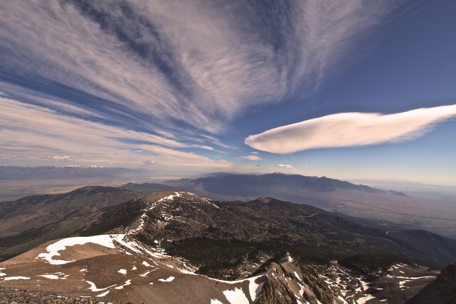
At 13,063 ft, Wheeler Peak is the highest point in Great Basin National Park. It is also the second highest peak in Nevada. The rocks of Wheeler Peak first formed as layers of sand laid down at the sea's edge 600 million years ago. The layers cemented into sandstone, and heat and pressure turned the sandstone into quartzite. I hiked to the top of Wheeler Peak while I was in the park - the 60mph gusts on the ridge made the easy 4.3 mile trail hike a bit more like a climb! I didn't see another soul up there.
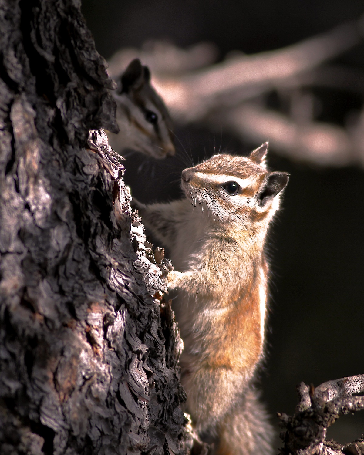
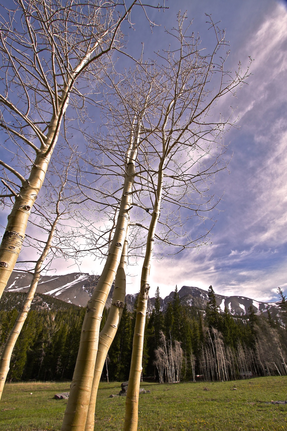
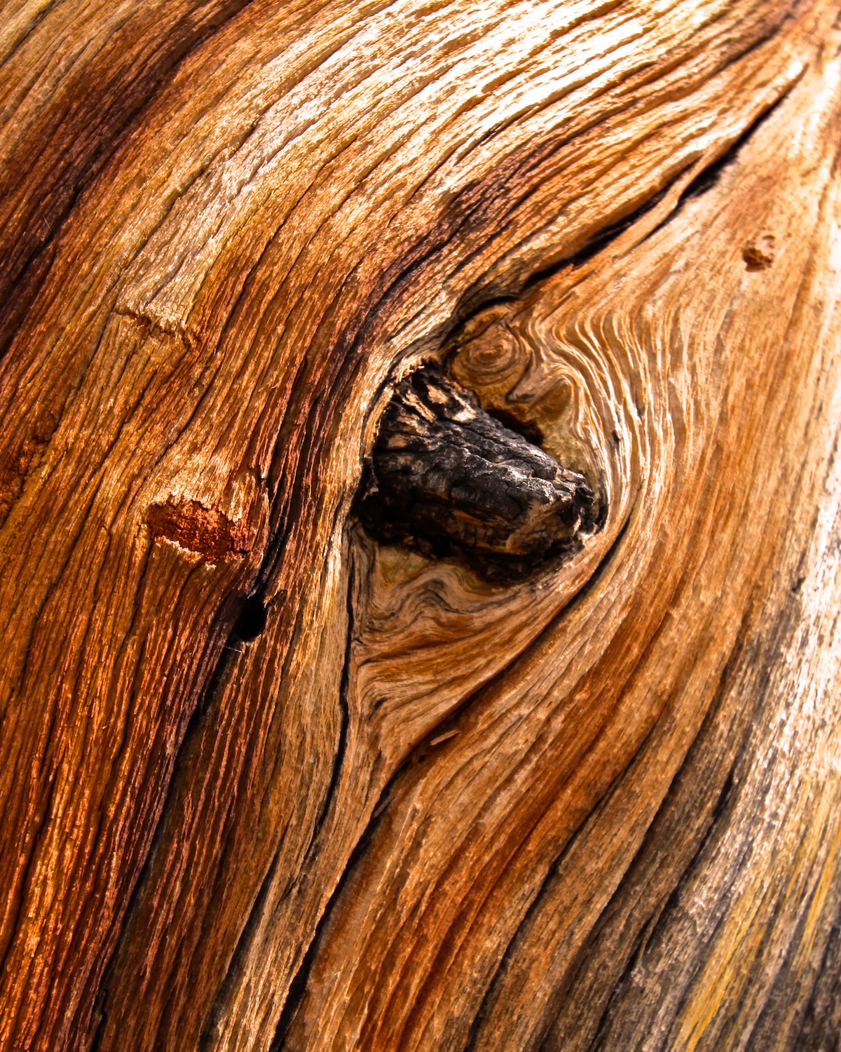
Because of the over 6000 feet of elevation difference between the summit of Wheeler Peak and the surrounding Great Basin, the park hosts a range of zones - from sagebrush into forests of spruce and aspen, upward to terrain where bristlecone pines give way to rocky peaks. These beautiful pines are more than 3000 years old.