I’d re-aggravated an arm injury while sport climbing at Smith Rock, so I decided to take a week off from climbing. It seemed like the perfect opportunity for a dayhike up South Sister. Less than a week previous, I had climbed
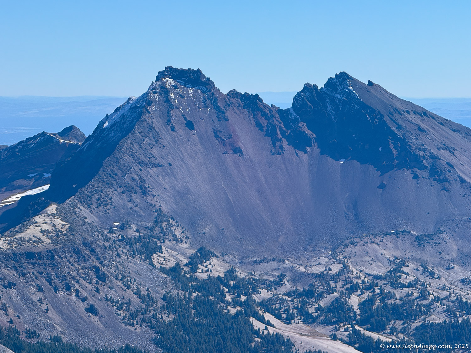
Broken Top but turned around about 80 vertical feet below the summit after encountering rime ice near the top. With early-October conditions persisting, South Sister—via its straightforward South Side walk-up route—sounded like an ideal objective.
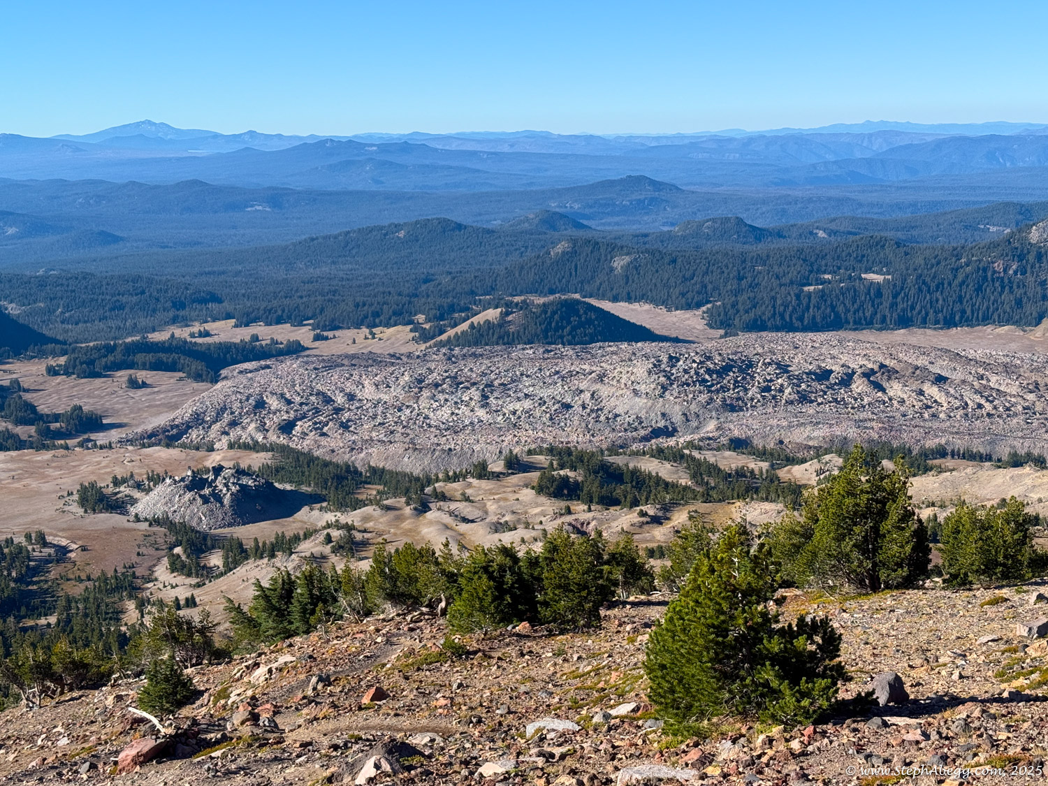
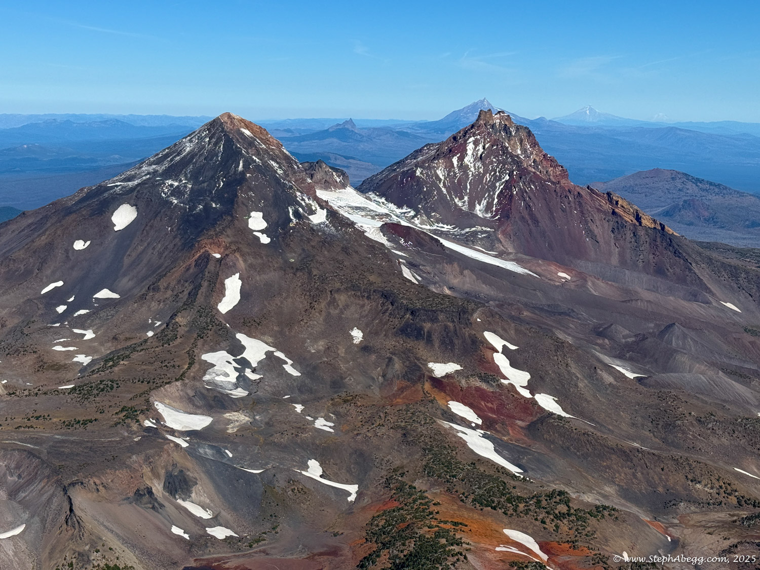
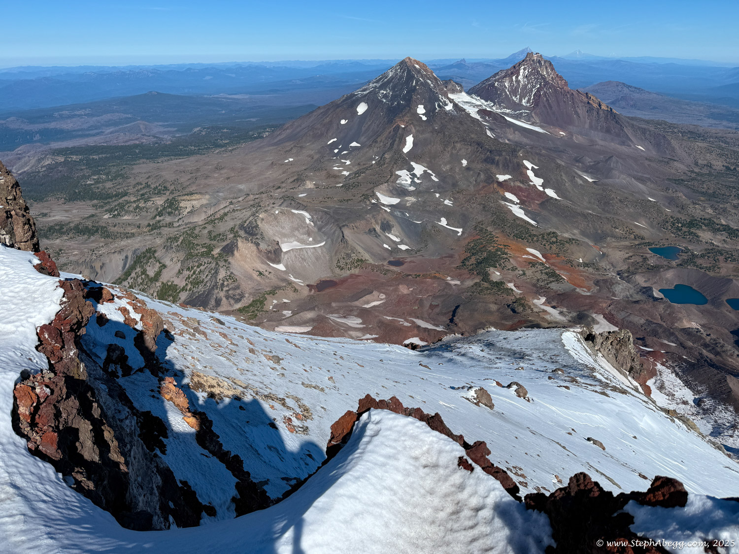
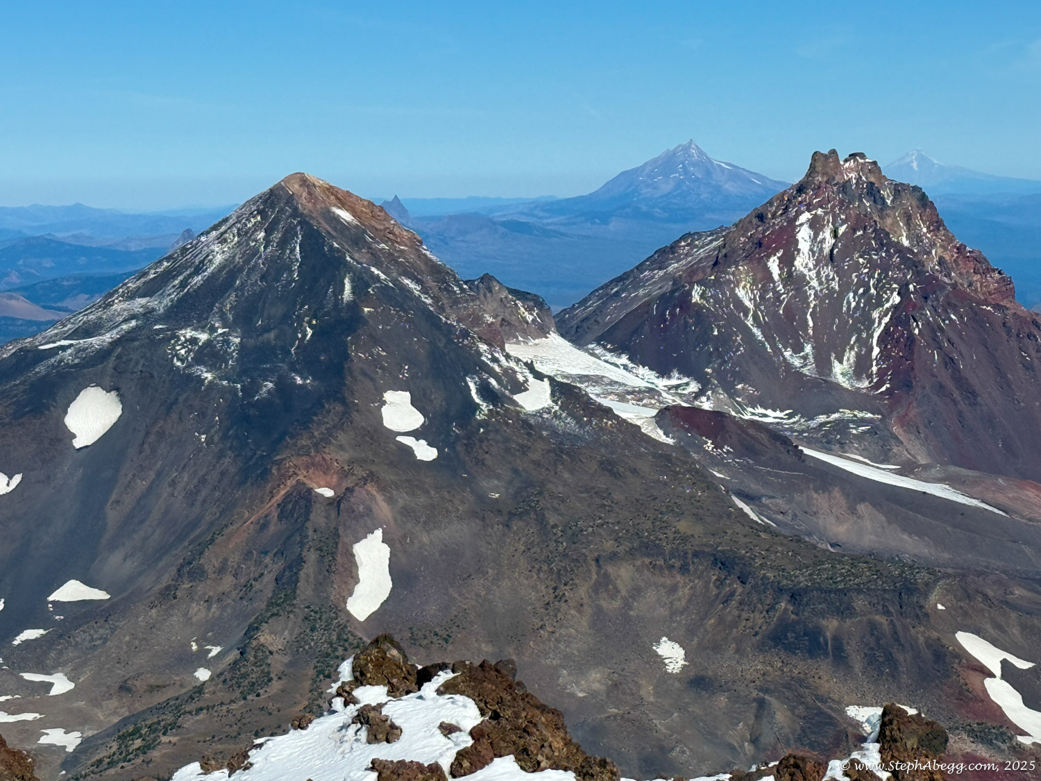
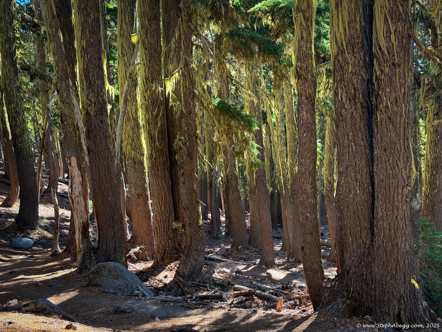
Central Oregon’s alpine region features five major peaks over 9,000 feet: South Sister, Middle Sister, North Sister, Broken Top, and Bachelor Butte. The wilderness is rich with glaciers, alpine lakes, meadows, and forests.
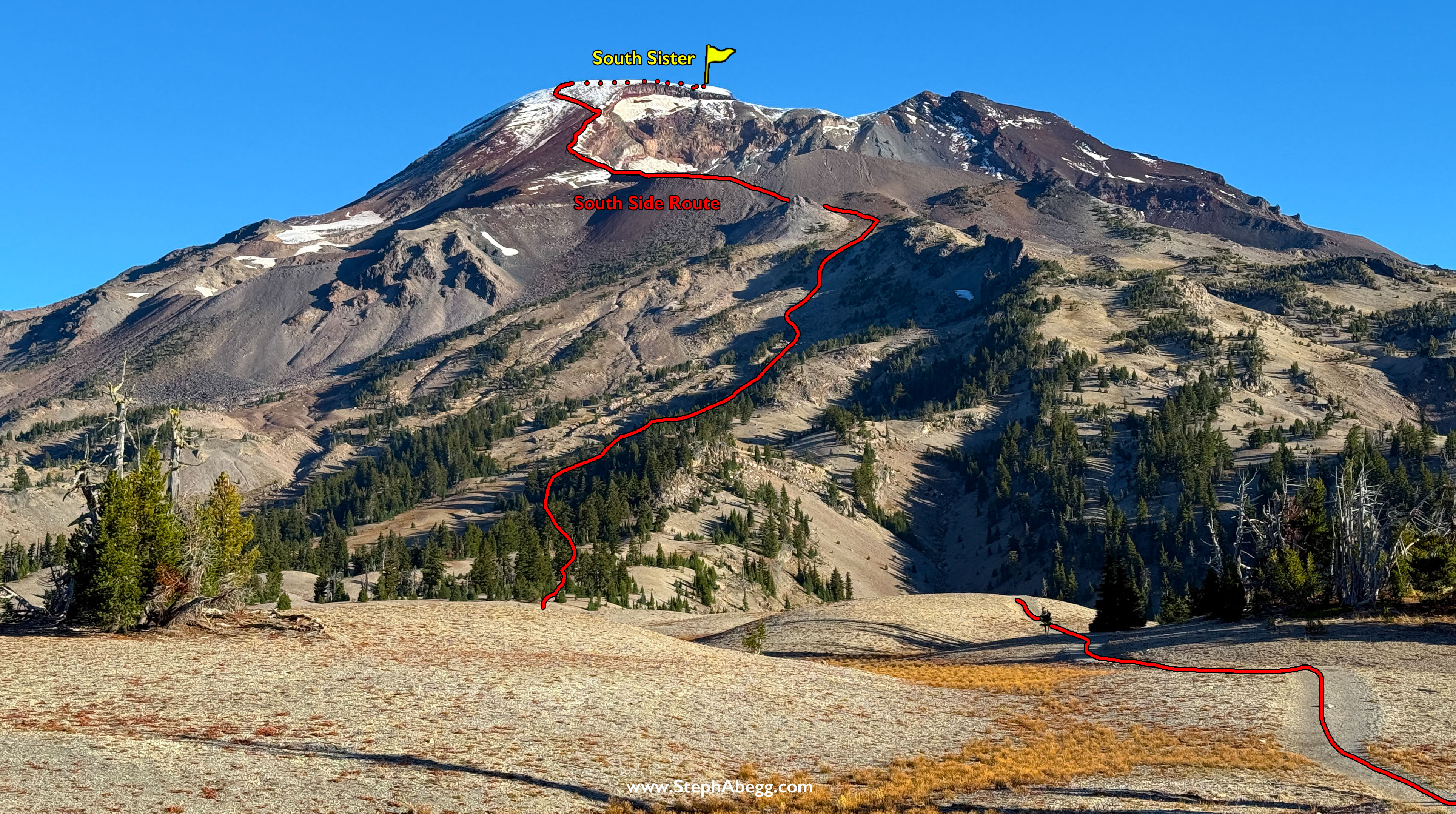
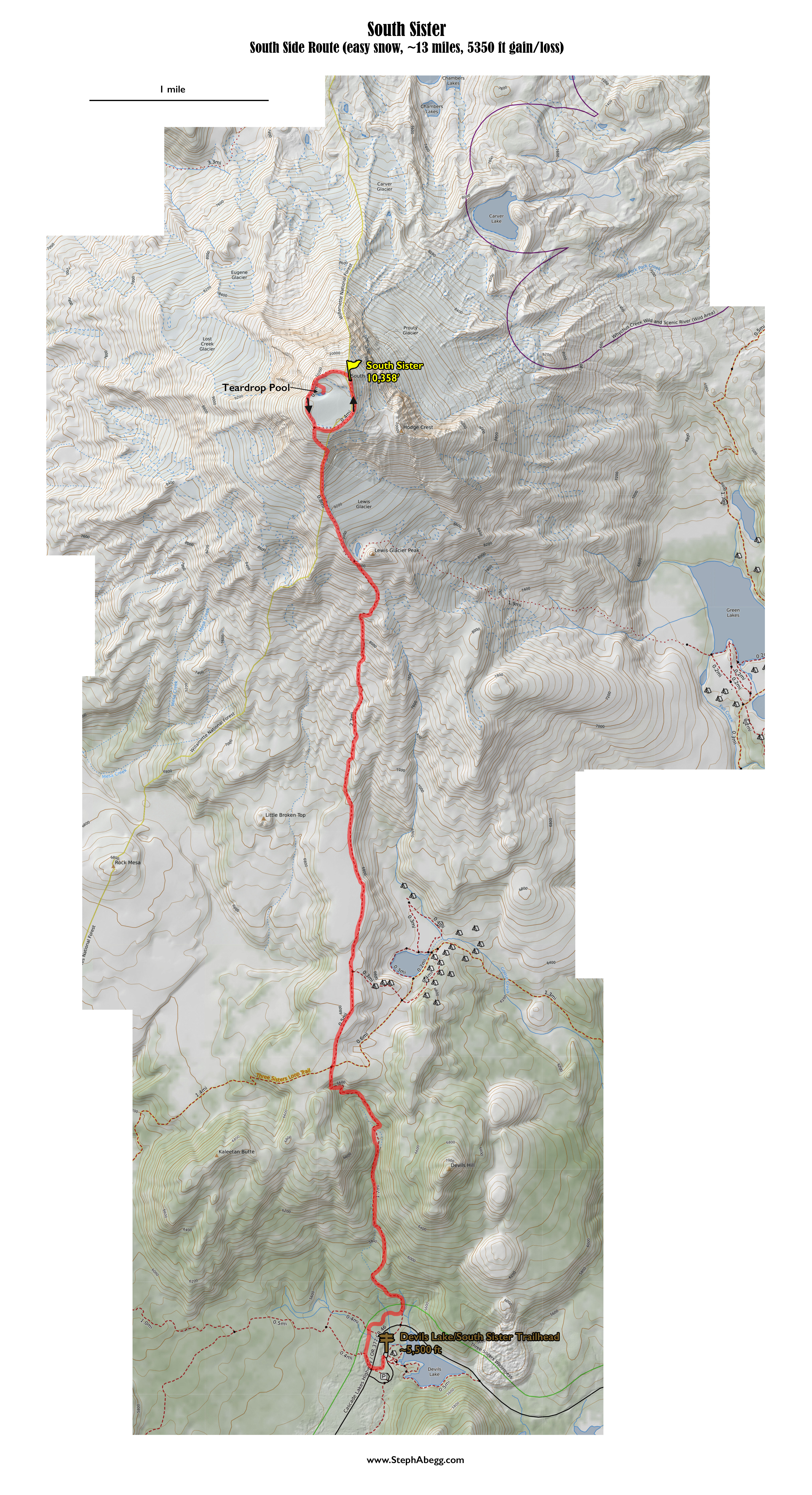
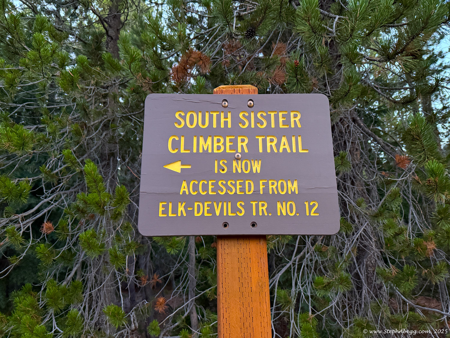
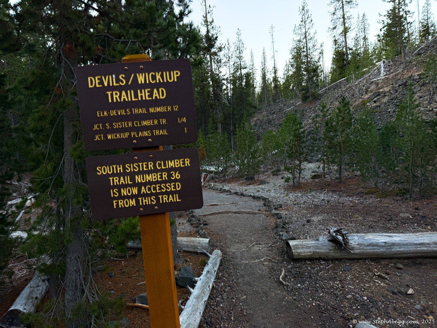
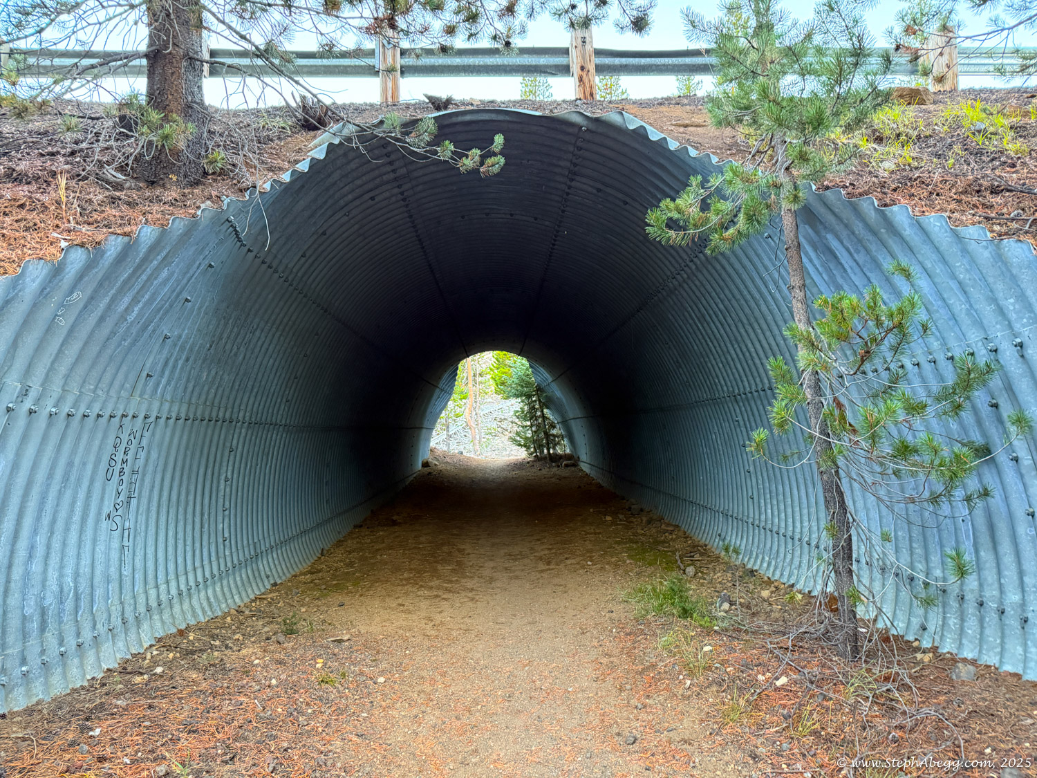
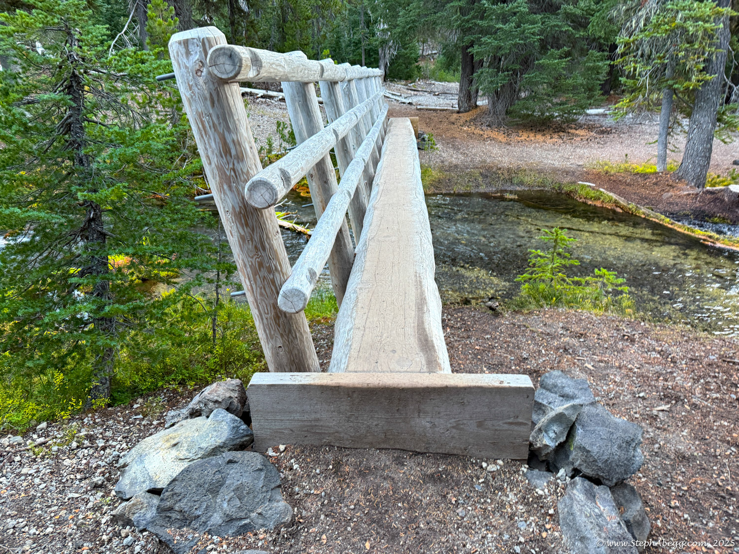
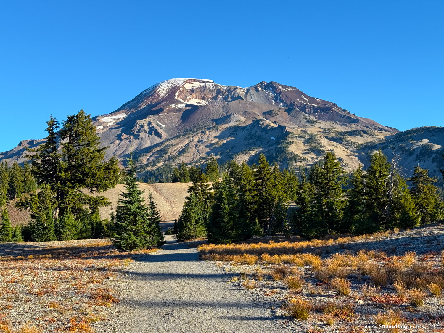
At 10,358 feet, South Sister is Oregon’s third-highest peak. It supports several glaciers and has at least nine established routes. The most popular, the South Side Route, is a Class 2 (easy) hike—or a simple snow climb when conditions warrant. The round trip is about 12.5 miles, starting from the Devil’s Lake Campground trailhead. Follow signs for the South Climb Trail and self-issue a permit at the trailhead. The route climbs steadily through loose volcanic scree to the summit—just follow the well-worn path. If snow remains, bring crampons and an ice axe.
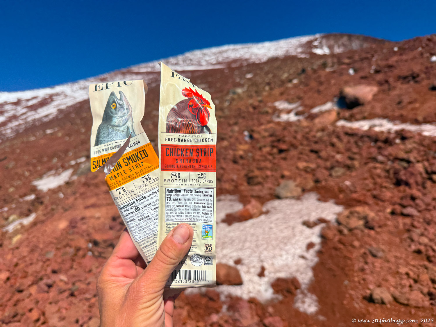
Permits are required and available on recreation.gov. As of October 2025, roughly 30 additional permits per trailhead are released a few days in advance. I was able to grab one for just $1—a small, symbolic fee that feels more about preserving the wilderness than collecting revenue.
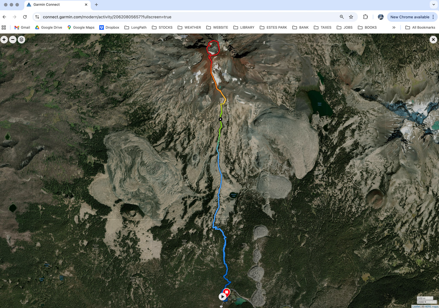
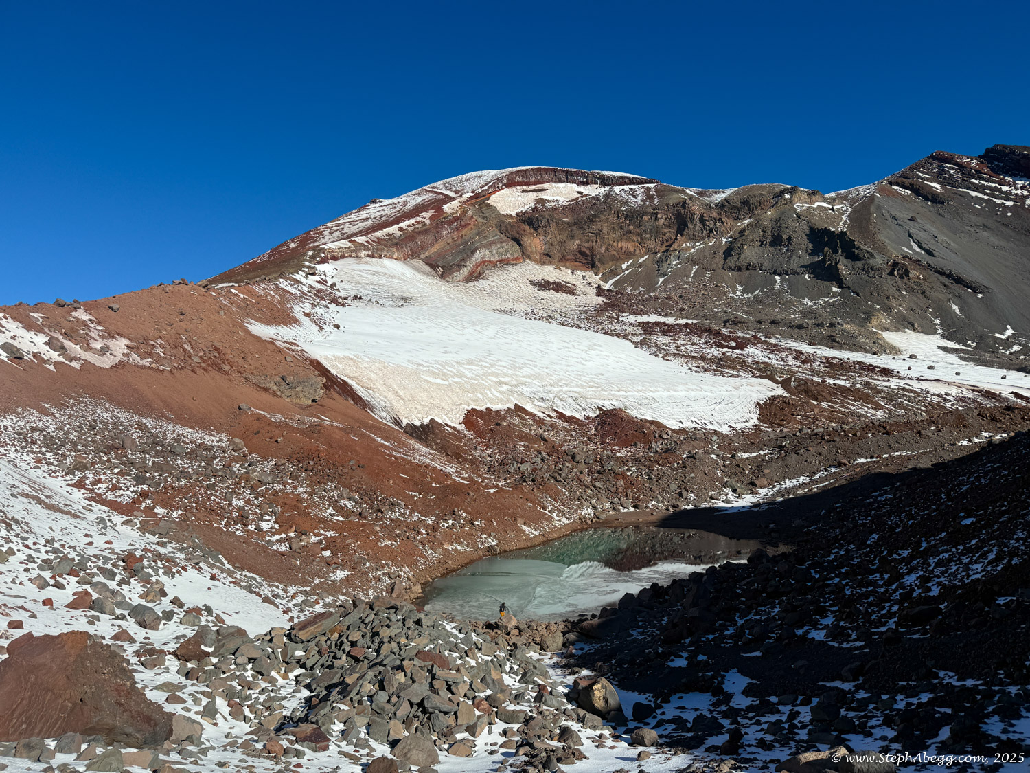
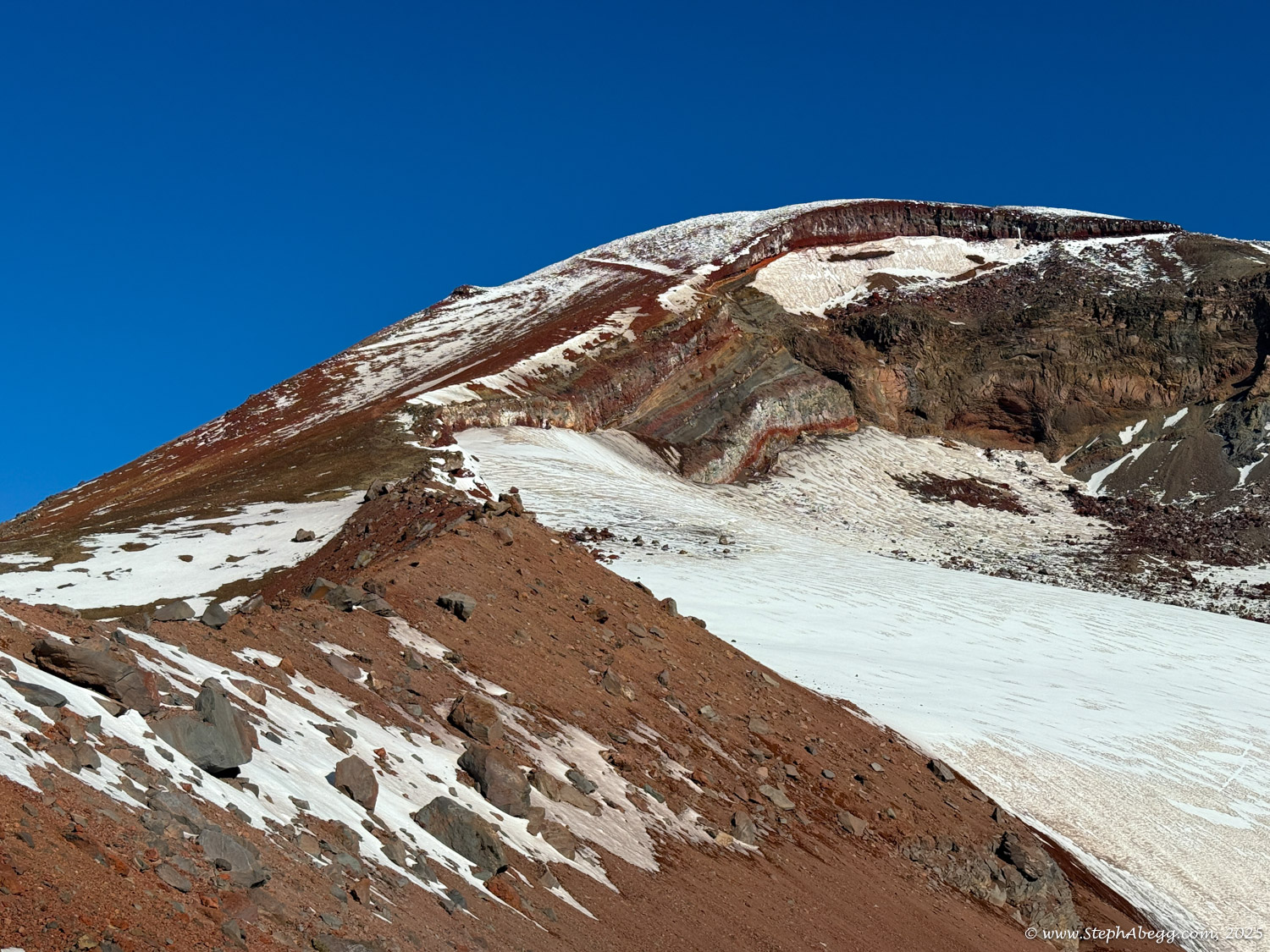
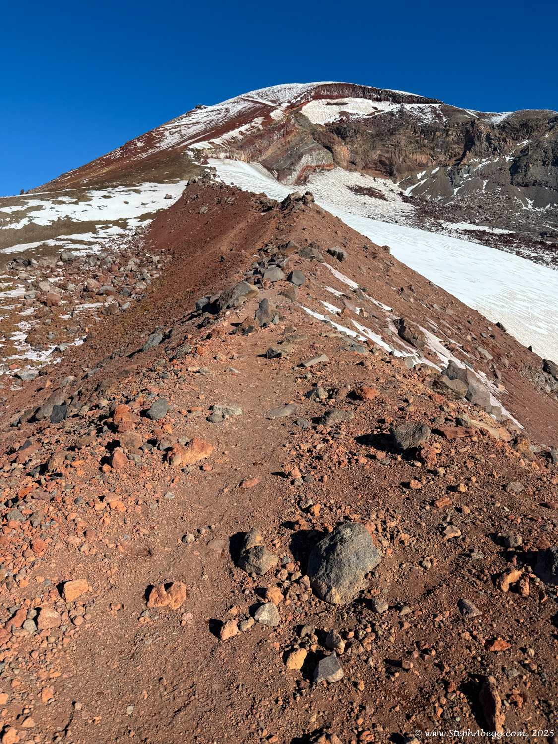
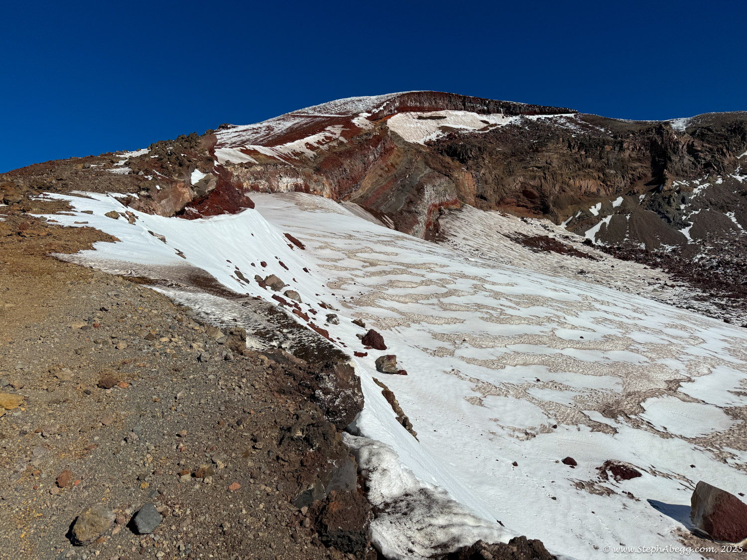
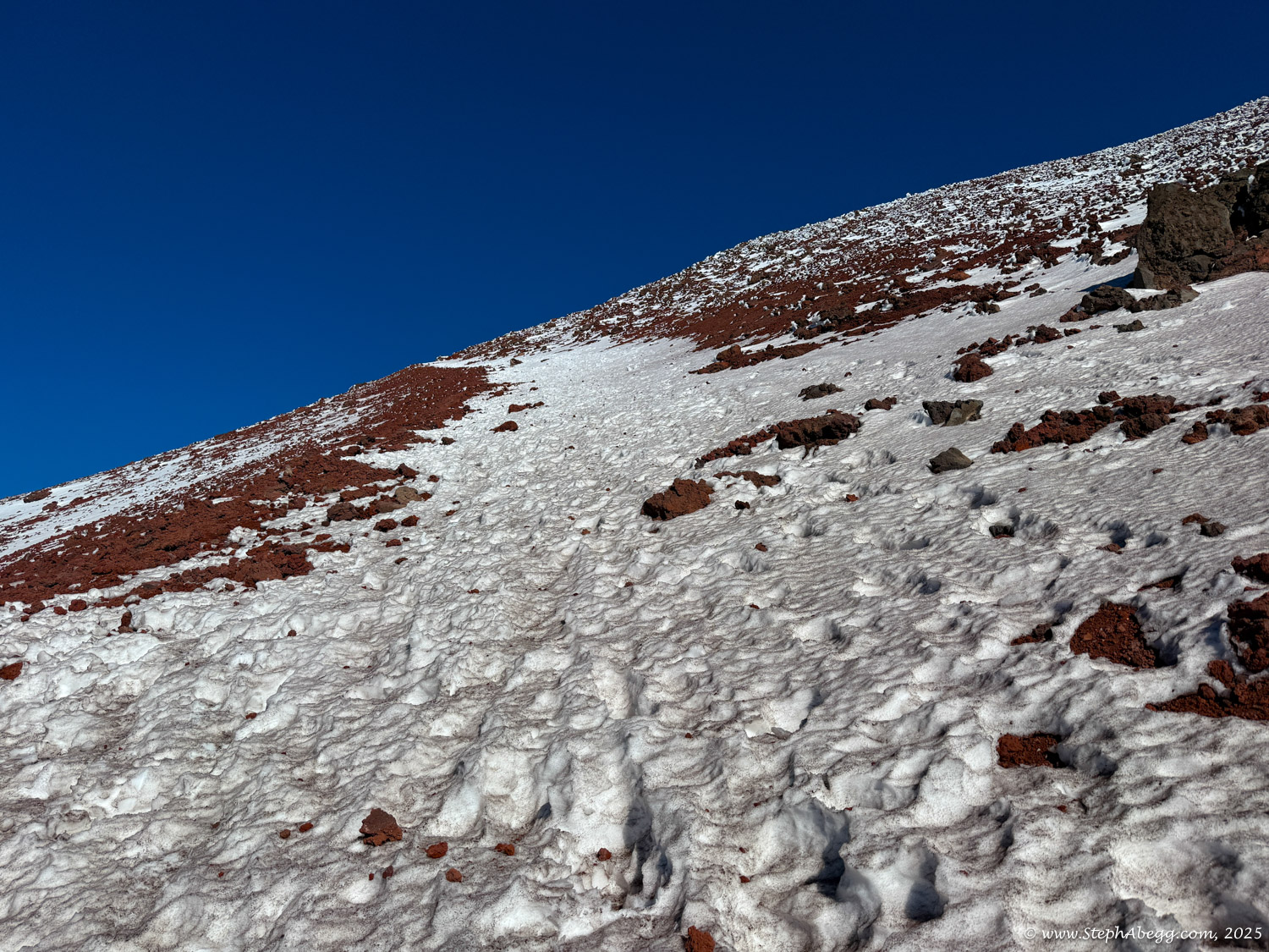
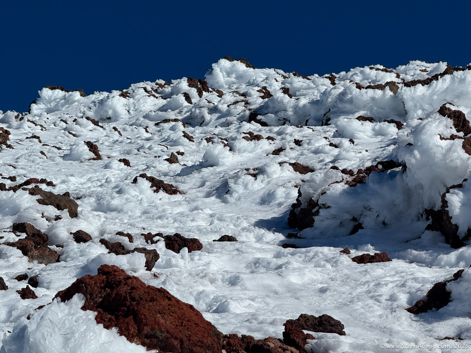
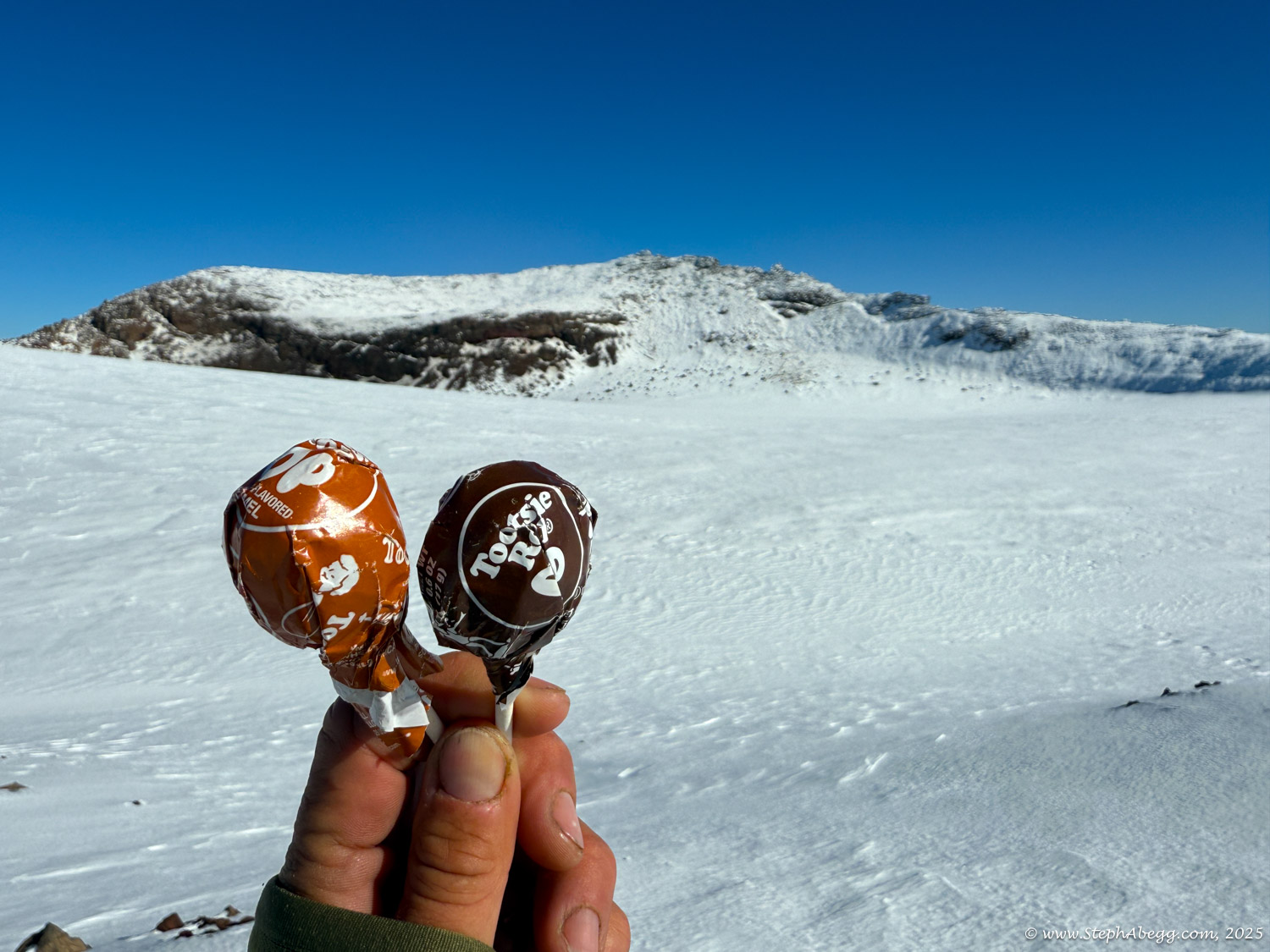
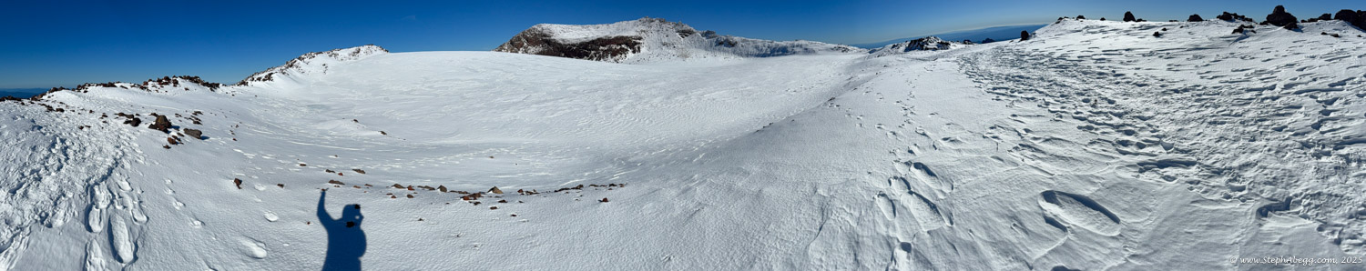
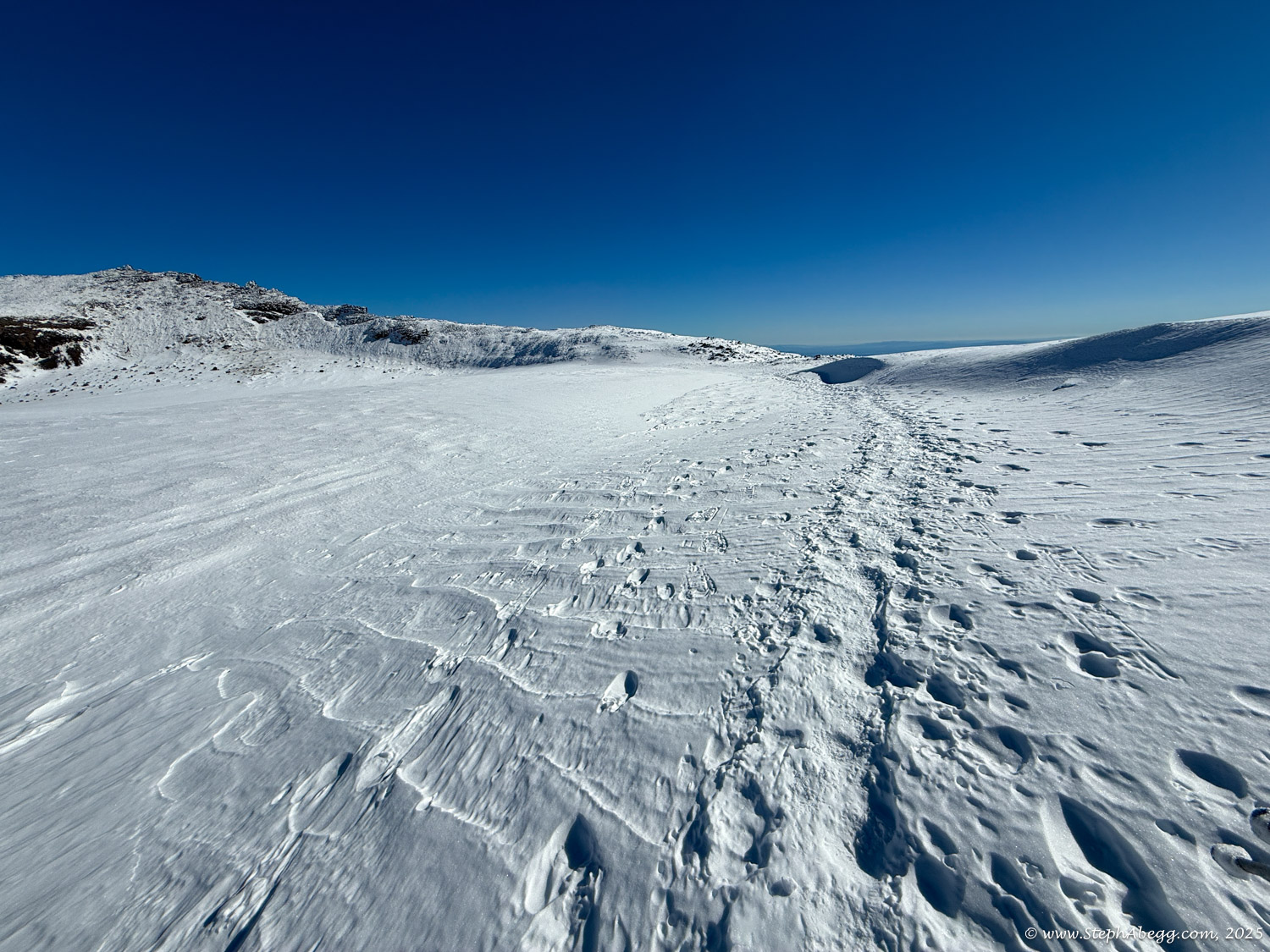
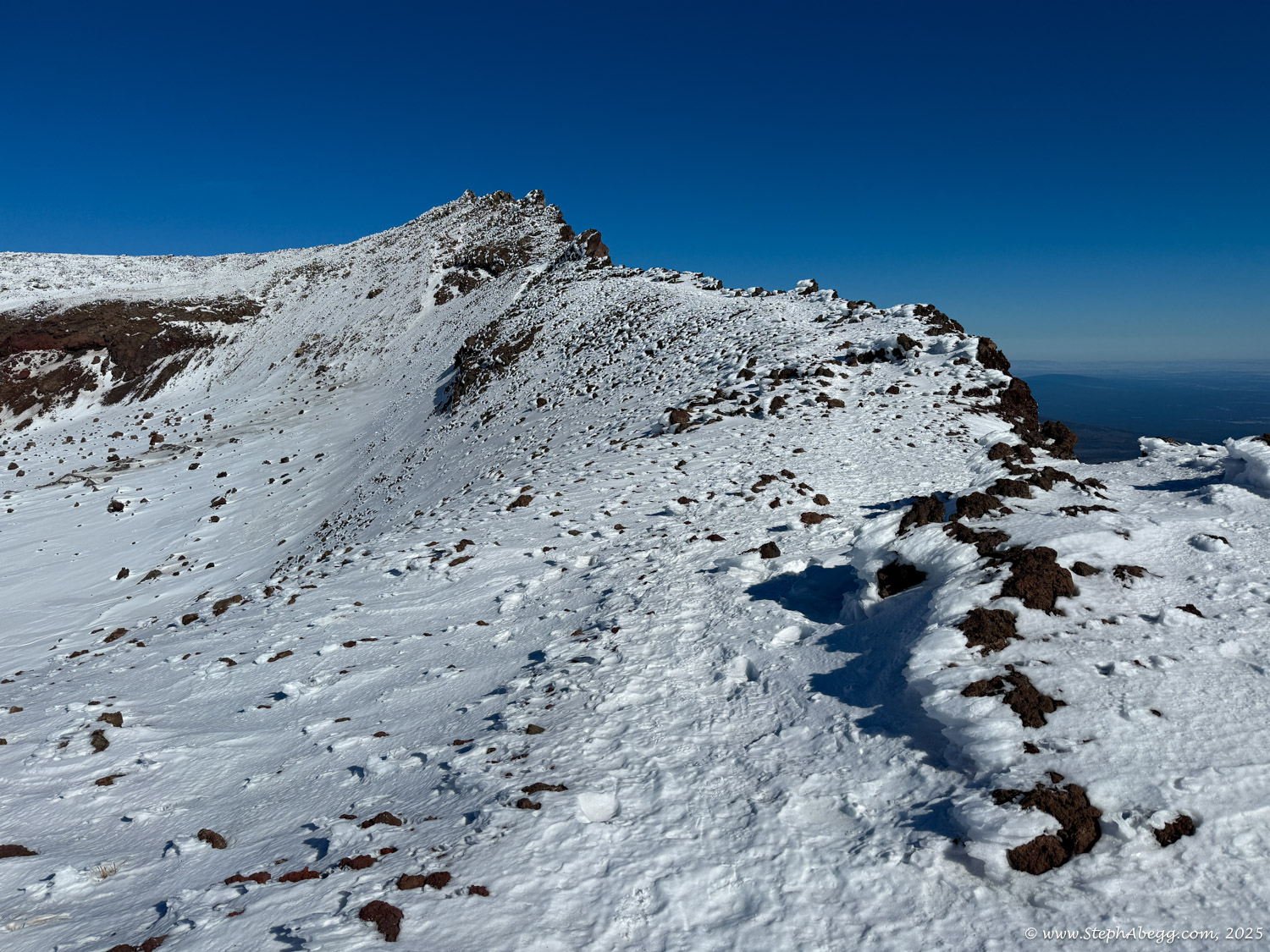
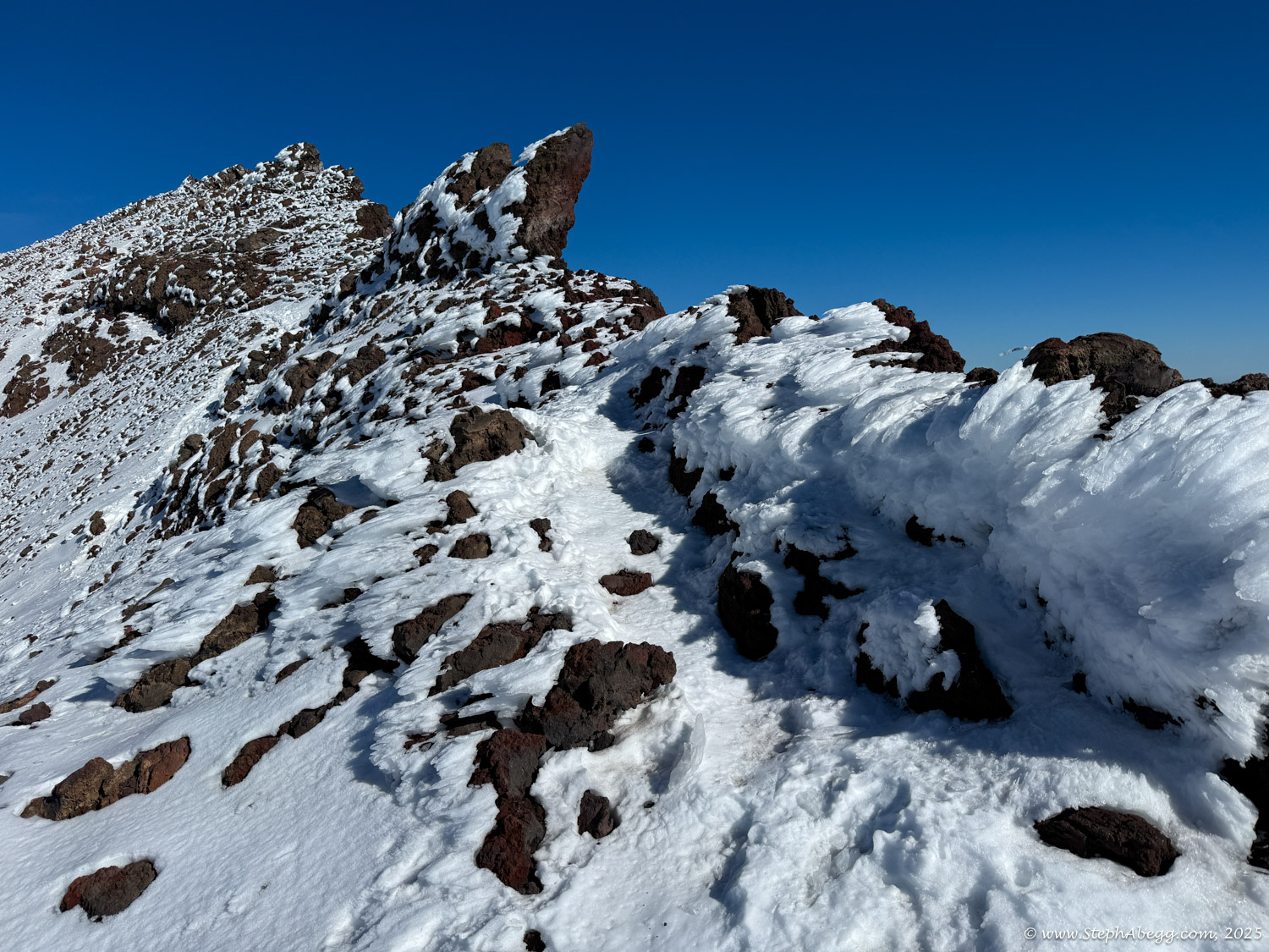
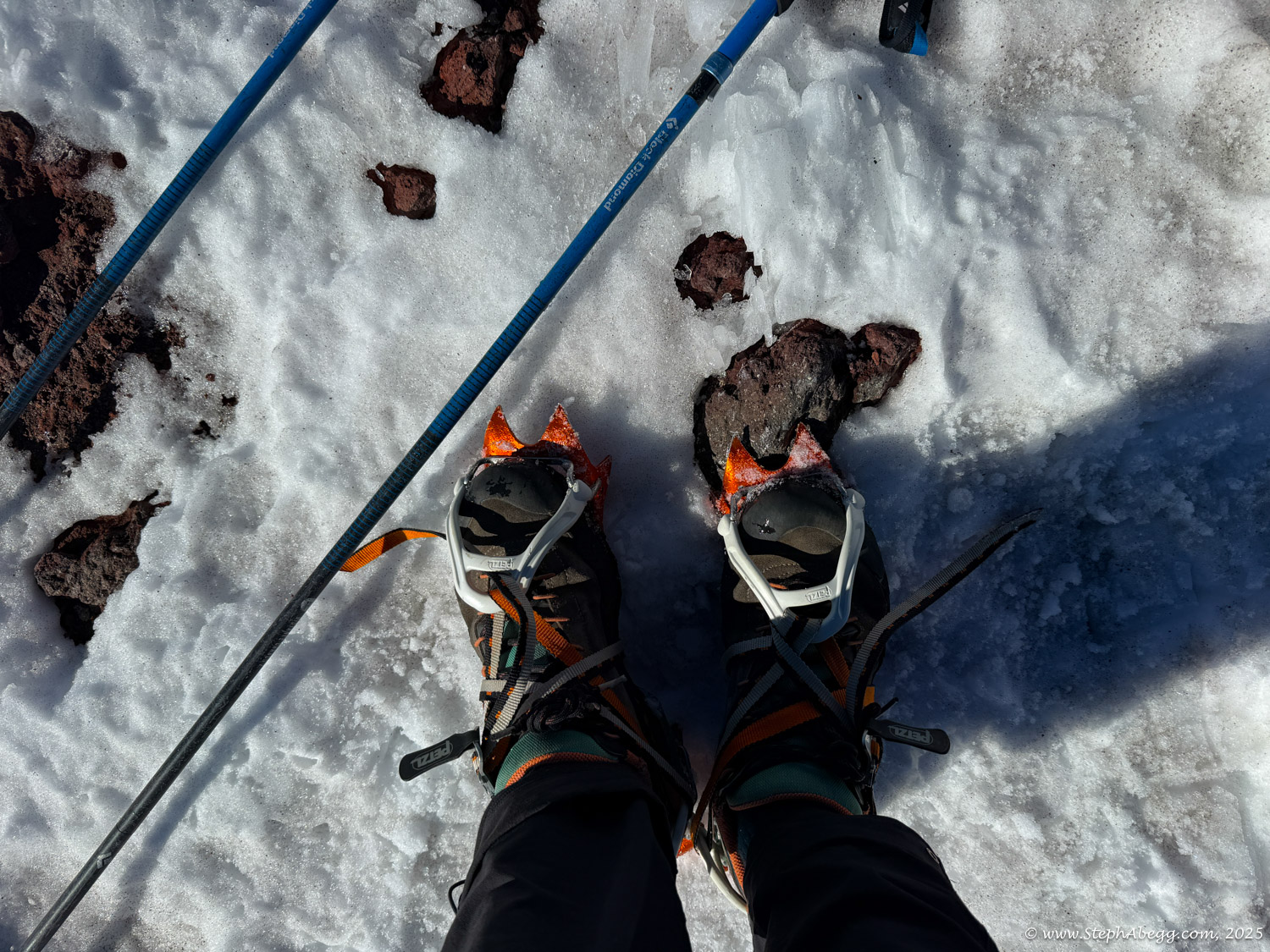
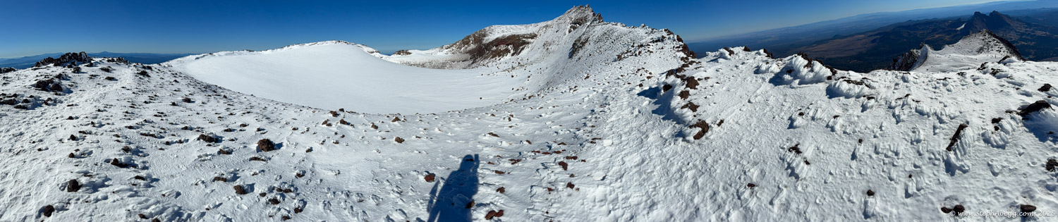
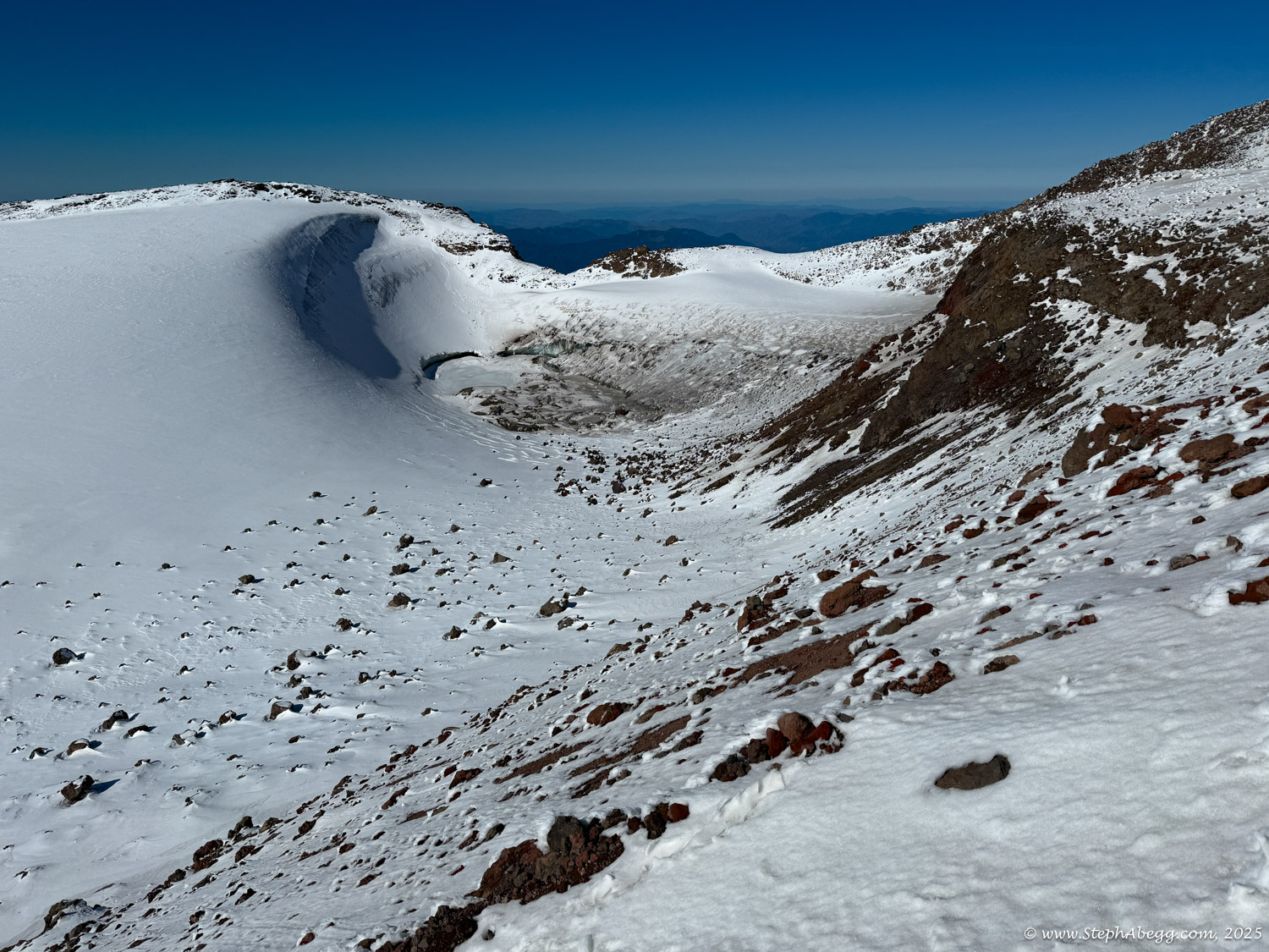
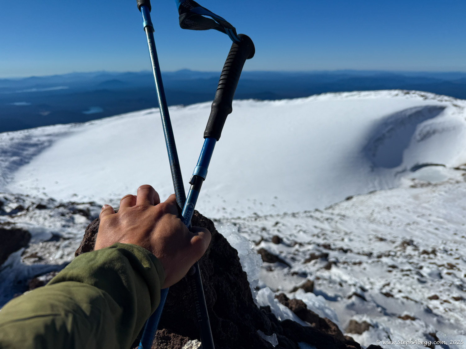
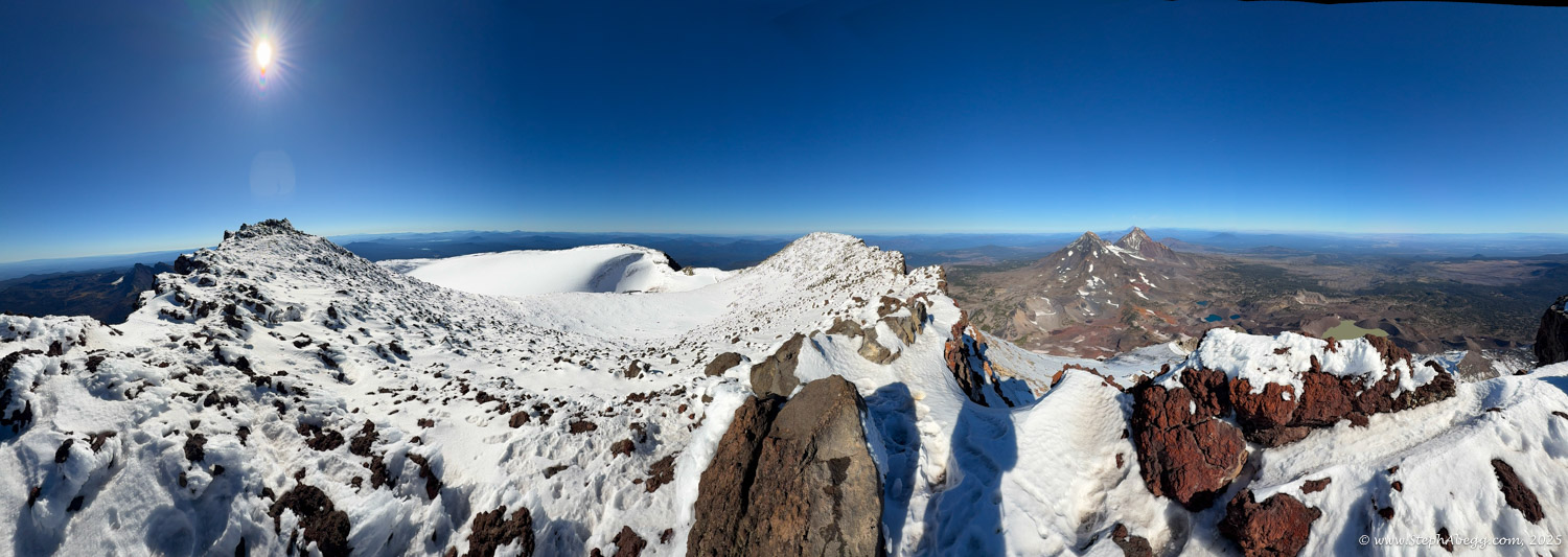
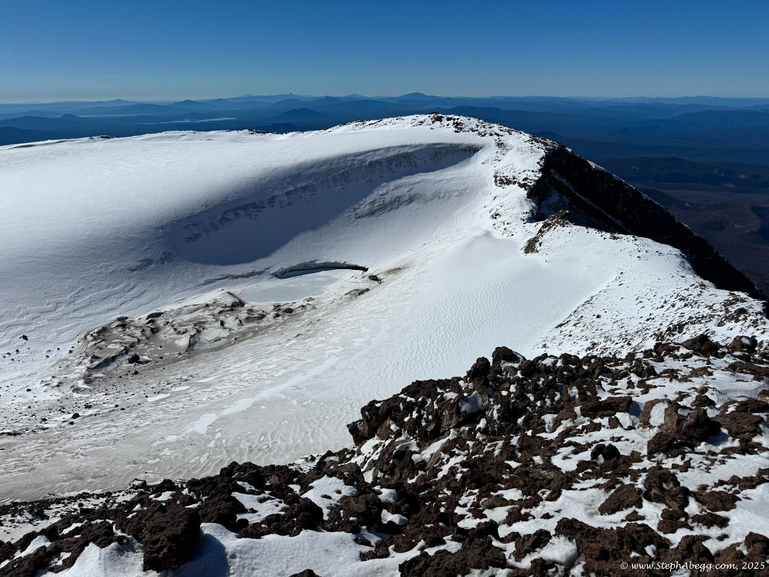
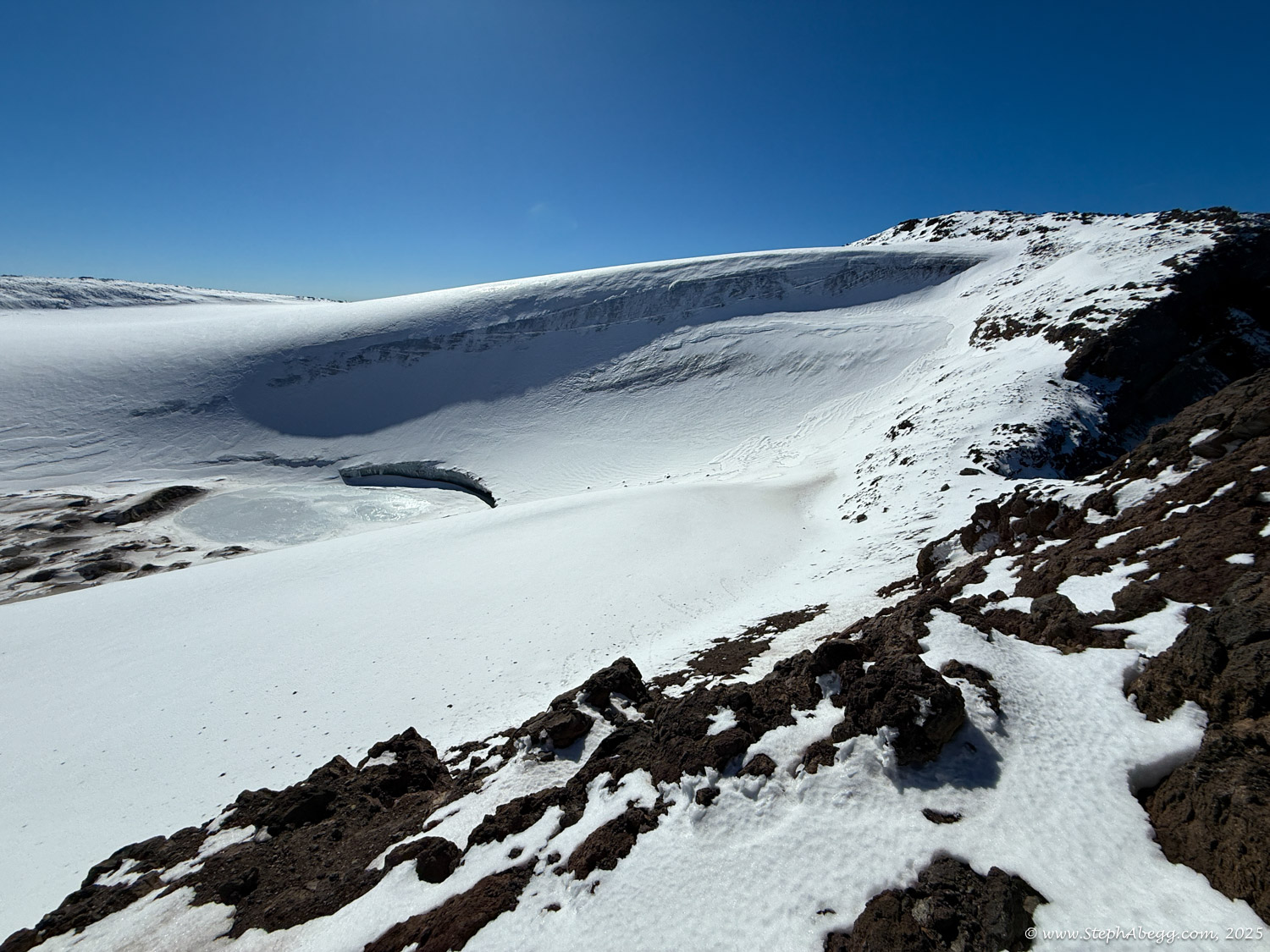
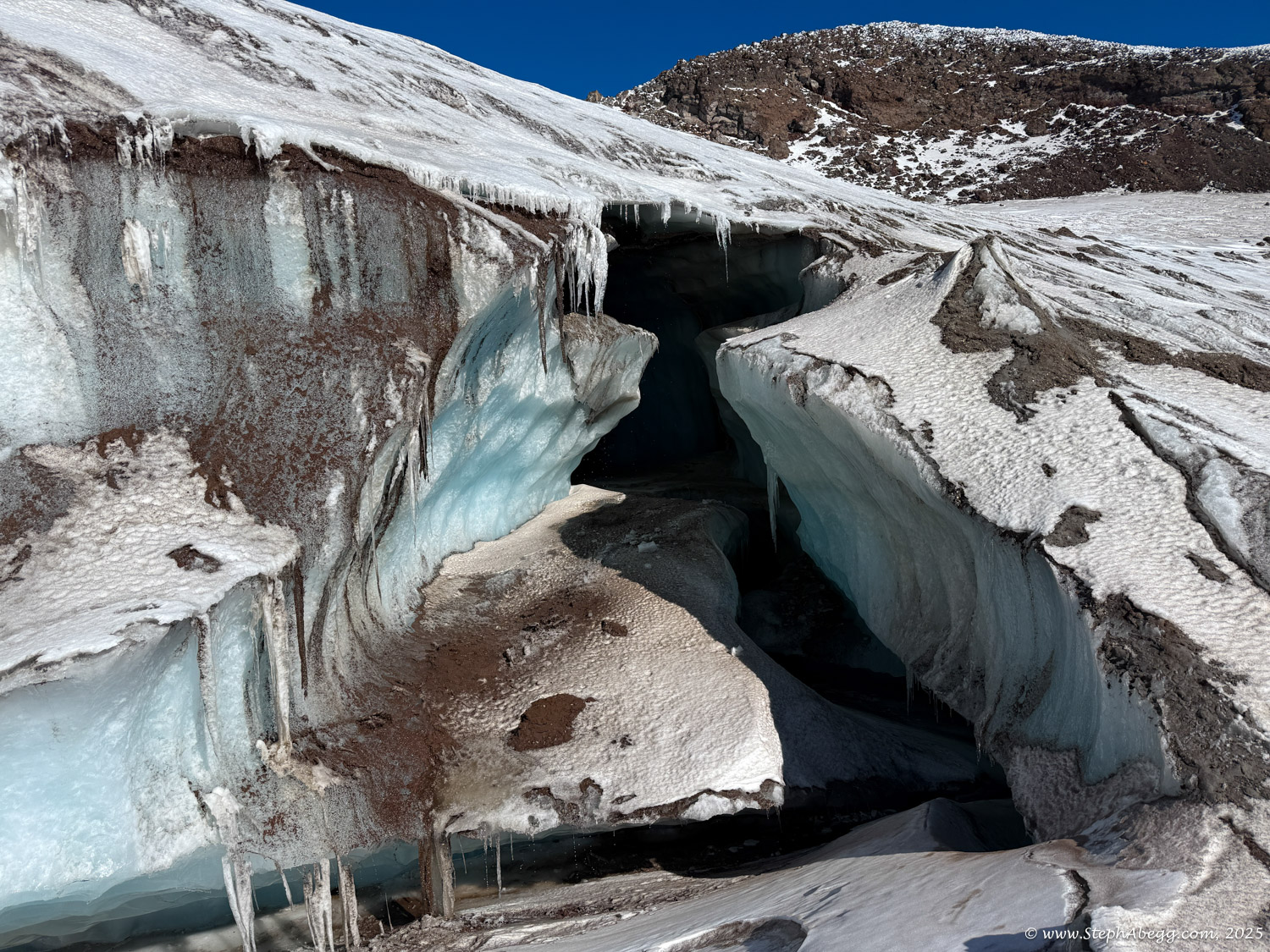
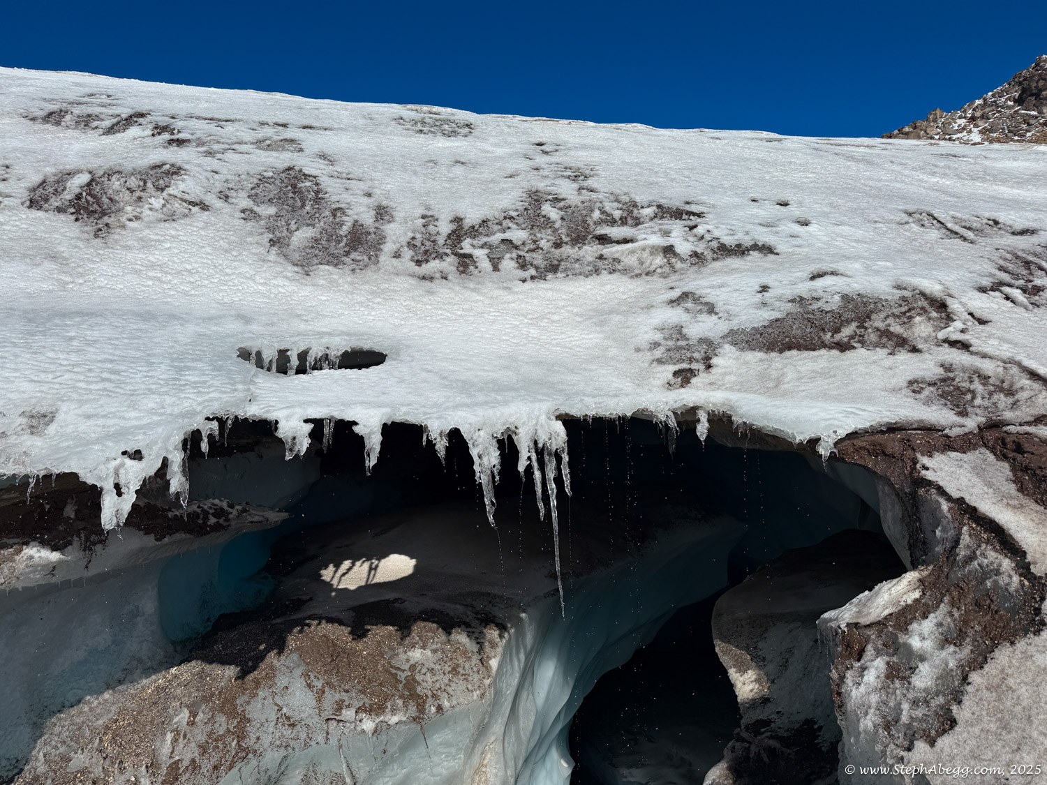
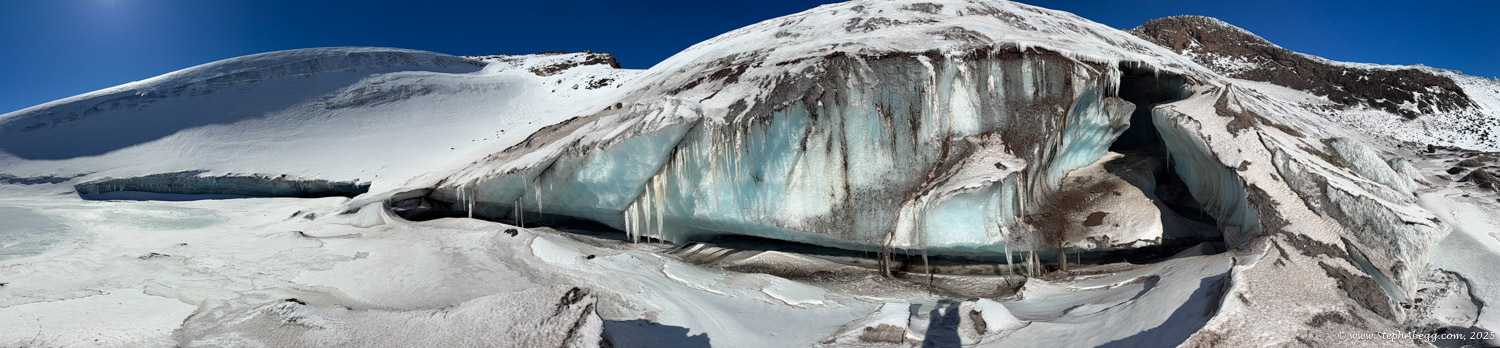
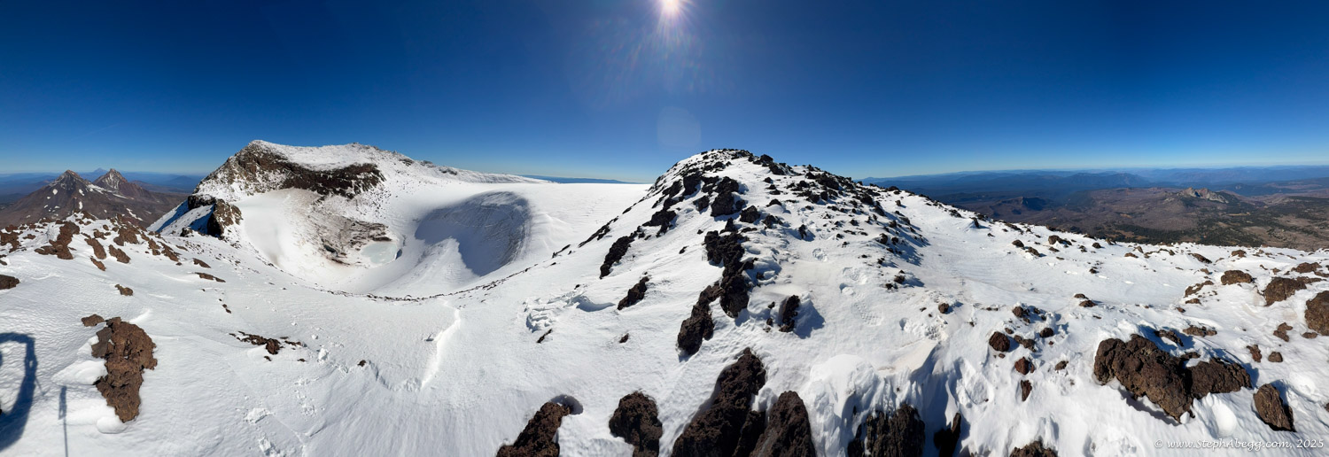
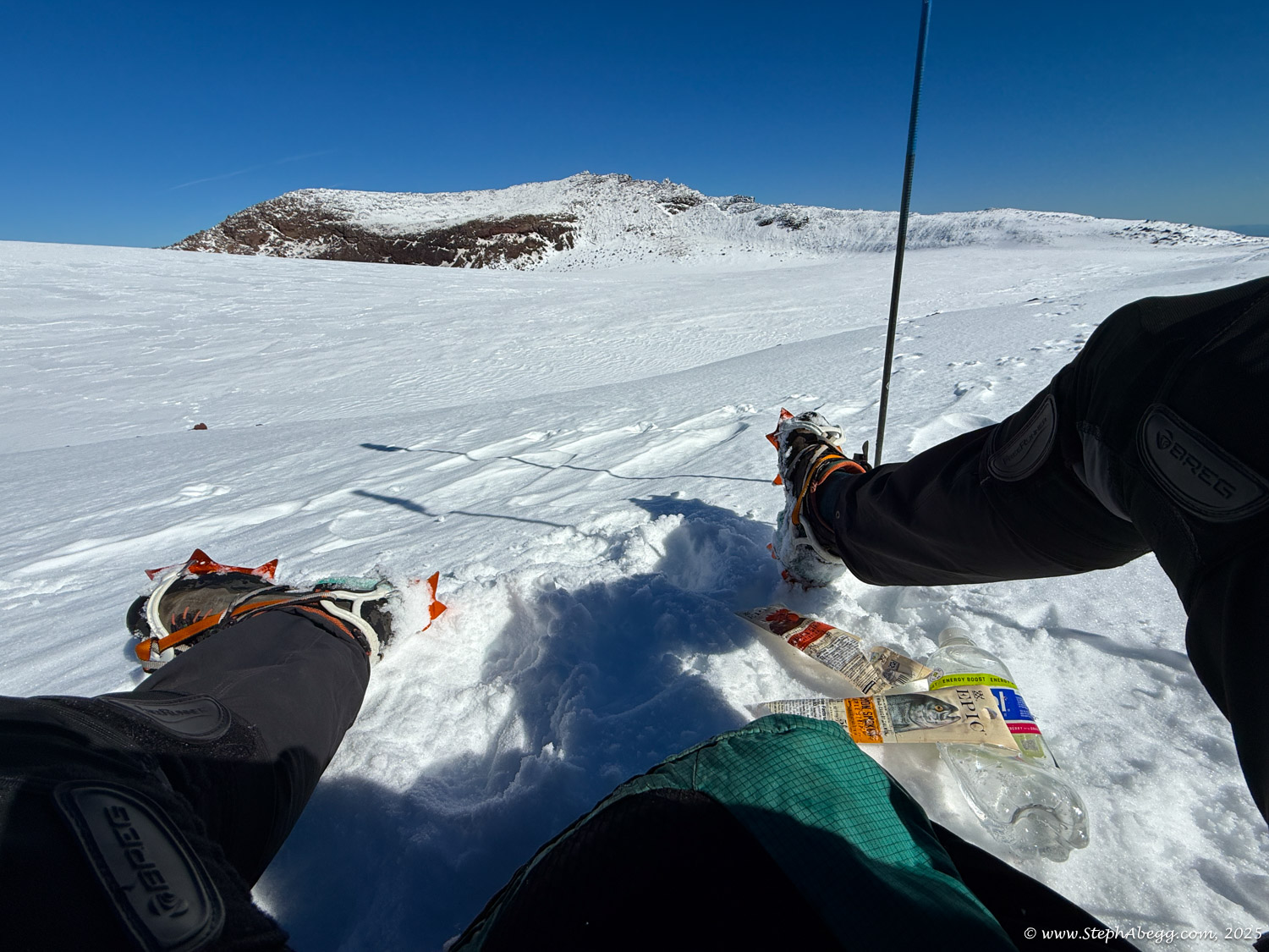
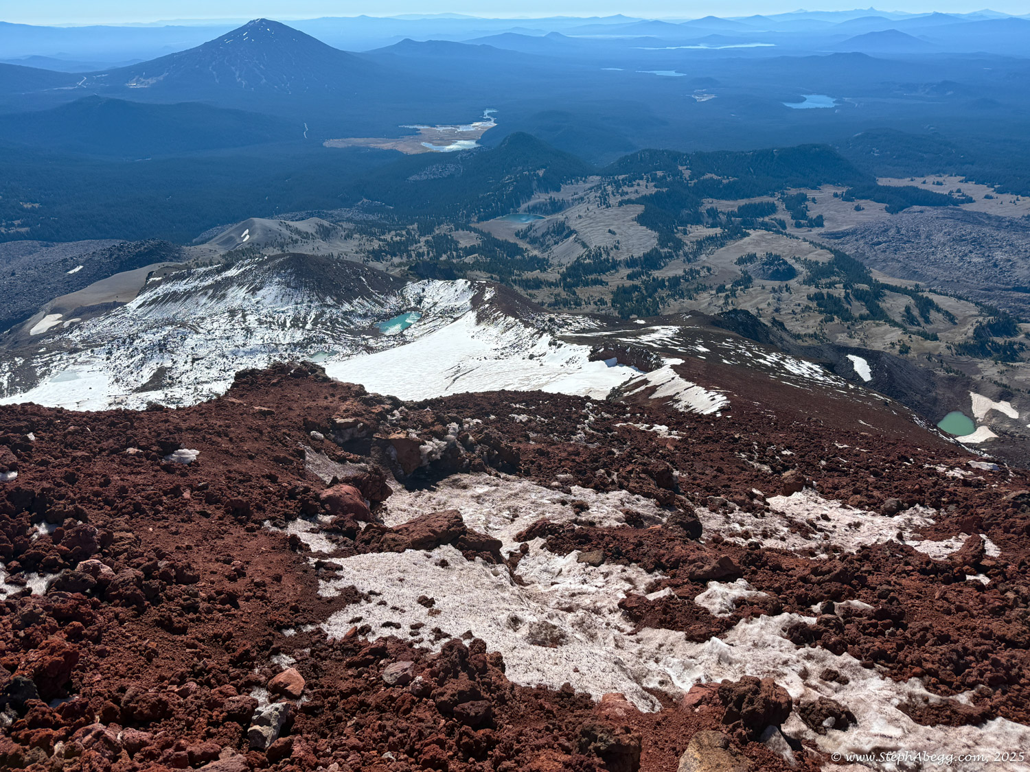
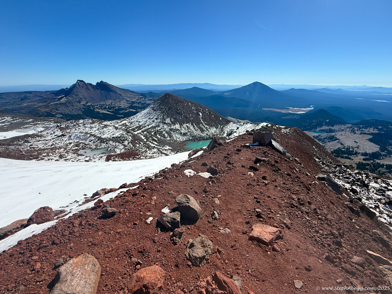
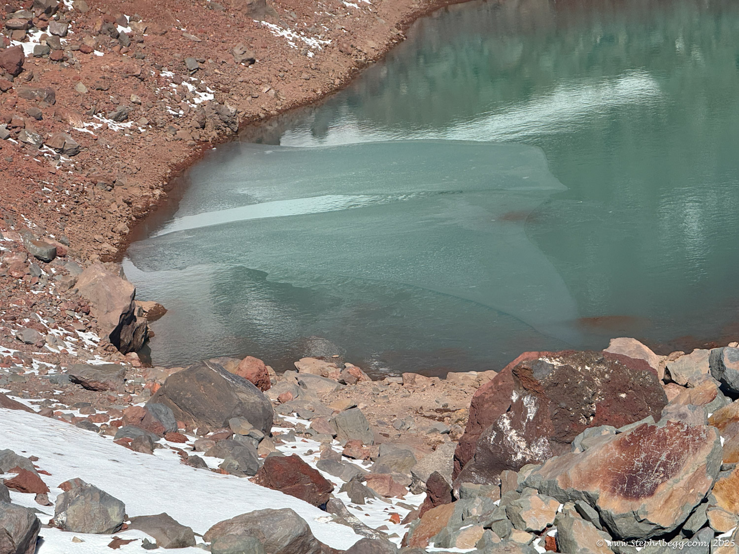
Given the icy conditions I’d encountered on Broken Top, I packed crampons. Most of the rime had melted, but they came in handy on the wind-packed snow near the summit. I circumnavigated the summit crater counterclockwise and marveled at some ice caves I encountered near Teardrop Pool (the highest lake in Oregon!). The crater itself was a highlight of the route—wide, white, and otherworldly. My Garmin logged 13 miles and 5,350 feet of elevation gain and loss.
This page includes a route overlay, map, time stats, and photos.