Mt. St. Helens, Monitor Ridge (early summer conditions, snow slog, Class 2)
Mt. St. Helens
Route:
Monitor Ridge
early summer conditions, snow slog, Class 2
I should have known that when I stopped to see Mount St. Helens on the way home from my Utah Road Trip, I wouldn't make it home to Seattle that night. I wanted to climb it. Anyway, climbing the volcano would allow me to get a closer look over the rim at the gaping crater.
Region: Washington
Elev: 8,465 ft * (*used to be 9,677 ft before the eruption!)
THIS TRIP REPORT IS STILL MOSTLY IN THE EMBEDDED HTML FORMAT OF MY OLD WEBSITE. MOBILE Tip: Try Landscape mode. It is generally more mobile friendly.
The Eruption
Mount St. Helens is most famous for its catastrophic eruption on May 18, 1980, which was the deadliest and most economically destructive volcanic event in the history of the US. Fifty-seven people were killed; 250 homes, 47 bridges, 15 miles of railways, and 185 miles of highway were destroyed. The eruption caused a massive debris avalanche, reducing the elevation of the mountain's summit from 9,677 ft to 8,365 ft and replacing it with a 1 mile wide horseshoe-shaped crater. The debris avalanche was up to 0.7 cubic miles in volume, the largest landslide in recorded history.
Below are two photos showing the pre-eruption and post-eruption Mount St. Helens. The photo on the left was taken by my mom when she climbed the volcano in 1974 (and camped on the summit!). The photo on the right was taken the day before I climbed St. Helens in June 2010, from the Johnston Ridge Observatory. The summit is 1300' easier to get to now!
Pre-eruption St. Helens, 1974.
Post-eruption St. Helens, June 2010.
The Climb
Mount St. Helens is a popular climb for both beginning and experienced mountaineers. Although people are able to climb Mount St. Helens year-round, late spring through early fall is the most popular season. Climbing Permits ($22) are required top climb the volcano; a quota is in effect with 100 climbers per day.
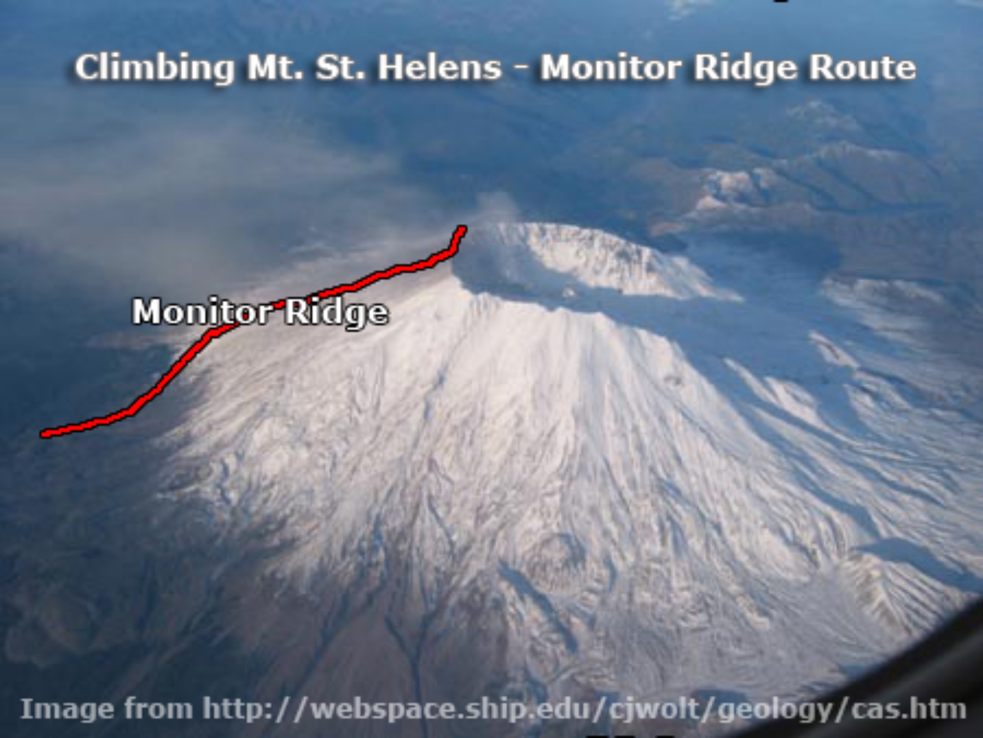
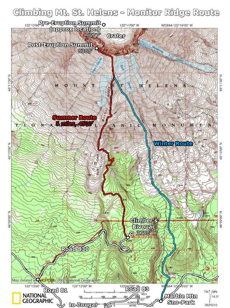
Like most climbers, I climbed the Monitor Ridge Route from Climbers Bivouac on the south side of the volcano. This route gains 4,500 feet in five miles to the crater rim at 8,365 feet elevation. It was a pretty easy hike (mostly on snow), and took me 5 hours (2:45 to true high point, 15 min gazing into the crater, 2 hours down).
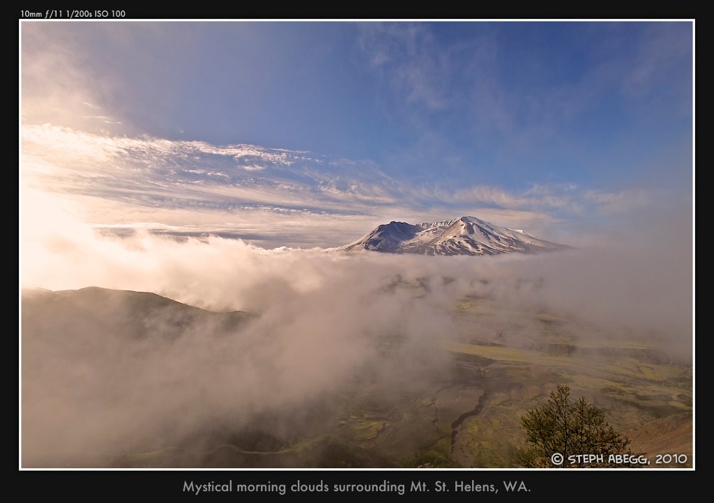
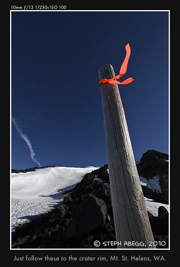
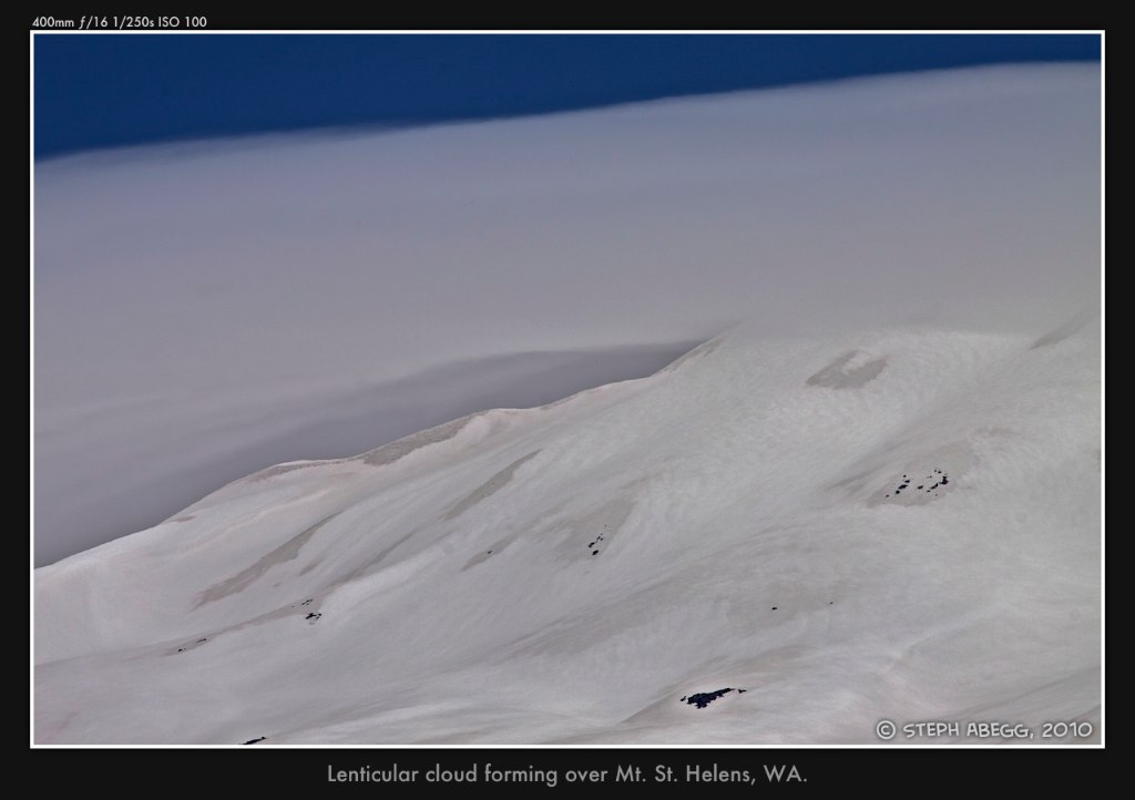
Photos from my late-June climb of Monitor Ridge
First Ascent of Mt. St. Helens
In 1853, Mount Saint Helens was the 8th highest summit in Washington, and became the first of the state's "highest summits" to be climbed. The catastrophic eruption moved the volcano to the 87th highest summit in Washington. It is unknown (or at least there is some debate) as to who the last pre-eruption climber was, or who the first post-eruption climber was.
Last year, I put together a poster of the first ascent chronology of Washington's highest summits. I had used the pre-eruption Mt. St. Helens as the background image, so I found it appropriate to add this poster to this trip report!
Useful beta. Updated route information. Corrections. Historical notes. Interesting facts. No fluff please. Please do not put links in your comment, as my spam filter will filter those comments out.