THIS TRIP REPORT IS STILL MOSTLY IN THE EMBEDDED HTML FORMAT OF MY OLD WEBSITE. MOBILE Tip: Try Landscape mode. It is generally more mobile friendly.
INTRO
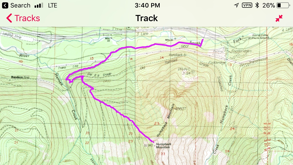
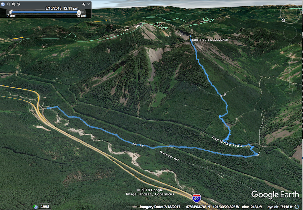
The objective on this sunny late-winter Saturday was Humpback Mountain, a peak just southwest of Snoqualmie Pass on the south side of I-90. The views from the upper section of the route are excellent: Mount Rainier, the Snoqualmie Region, down the I-90 valley, and distant Mt. Stuart.
The standard route up Humpback is the Northwest Ridge. Because it is in the trees until the very top, Humpback Mountain is generally thought of as a good snowshoe trip when the avalanche danger is considerable. However, the main caveat is that the bare summit is subject to high winds, and hence the slope below the summit is subject to wind slabs. Wind slabs can slide.
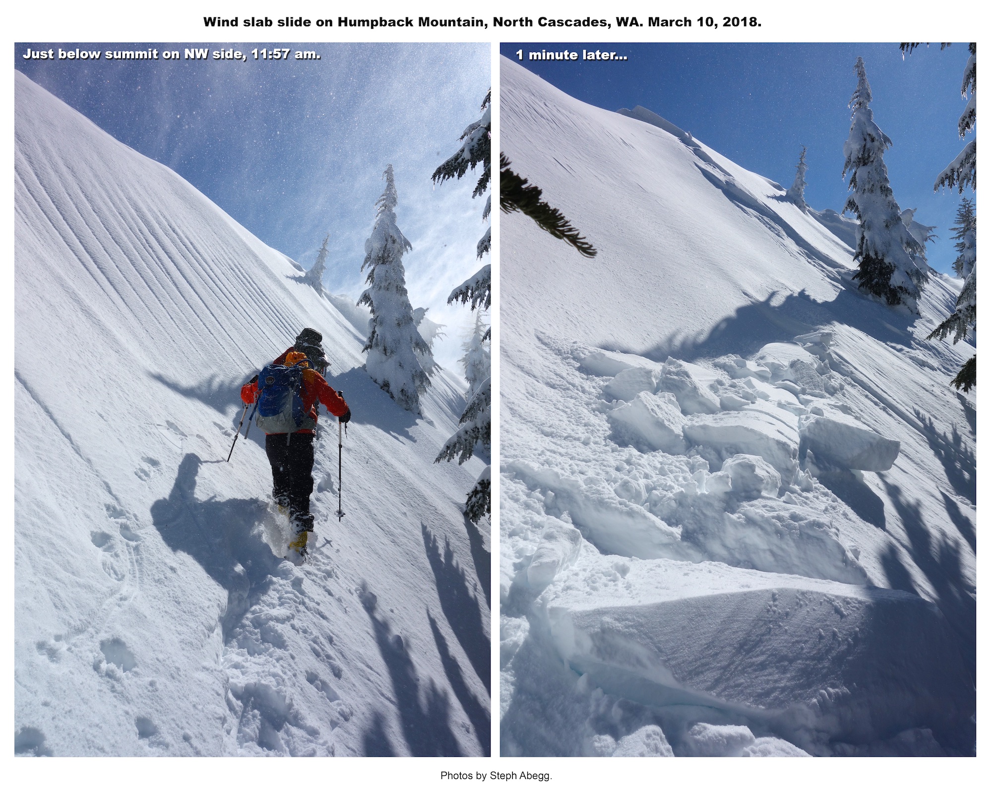
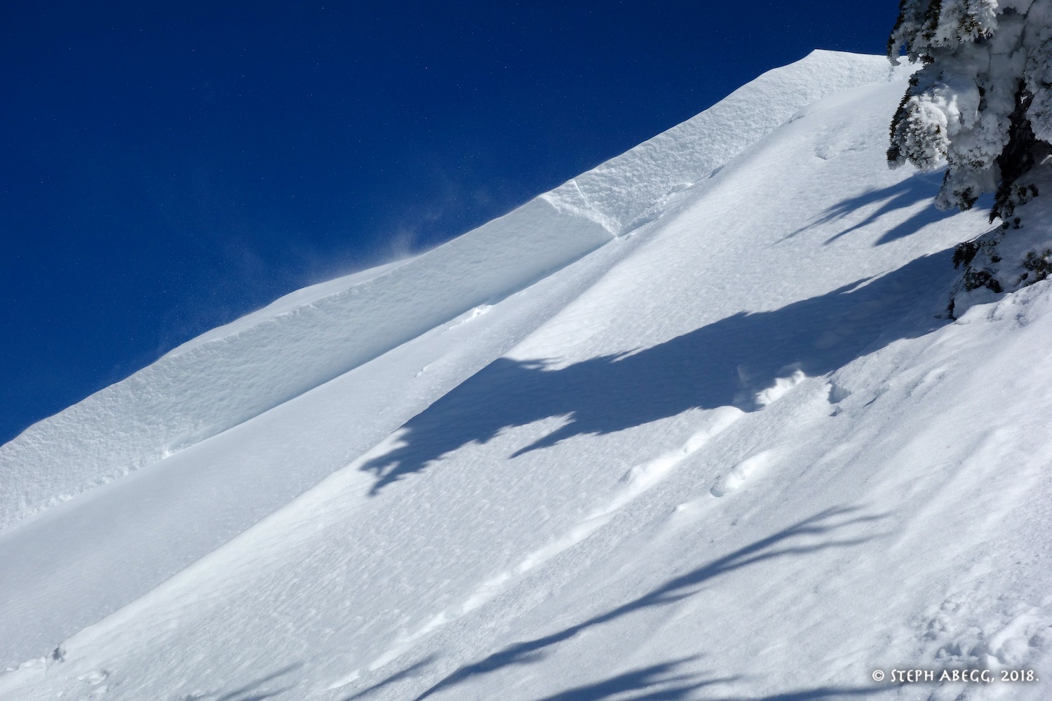
Before and after horizontal version.
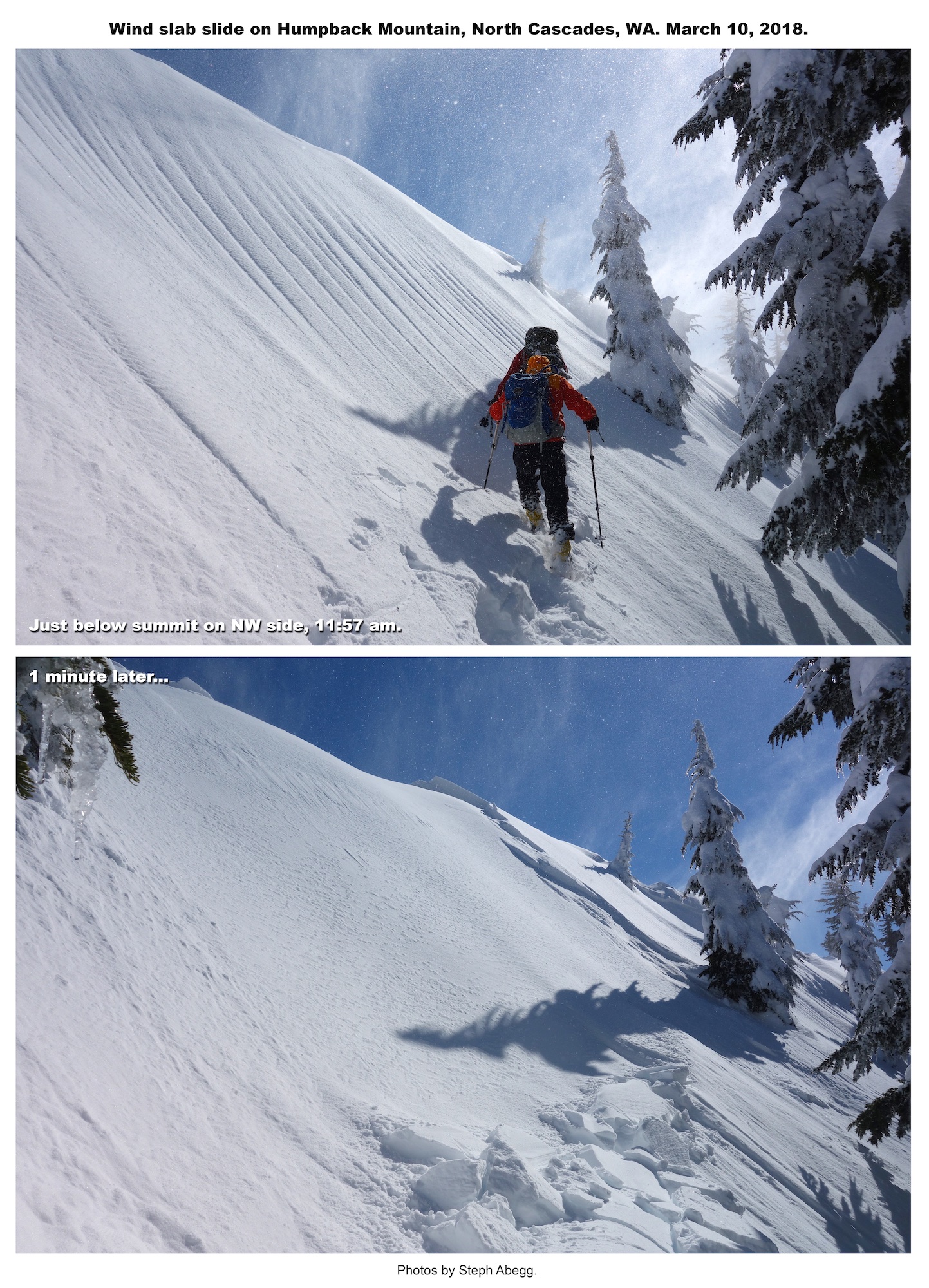
Before and after vertical version.
Screenshot from Ira's gps showing how far he was carried by the slide.
For being timbered, the ascent up the Northwest Ridge is surprisingly pleasant and pretty. It was a perfect sunny winter day. Everything was going well and we were making good time, on track to be on the summit by noon. But we never made it to the top. At 11:57am, crossing the final short slope just below the summit, the entire upper NW/W summit slope broke loose. Ira, Brett, and Cal were swept down the slope with it, while I was protected by a tree island and Ian managed to leap onto the tree island next to me, where the two of us hunkered as snow streamed around us. When the snow stopped moving, Ian and I called down to the three below, and were relieved to hear all three of them call out that they were okay. (I think the main danger was not getting buried by snow but getting slammed into a tree hard enough to get seriously hurt, but fortunately this did not happen.) We were quite fortunate that the only casualties were Ira's ski poles, Brett's glasses, and Cal's phone. The general consensus was that as a group we had failed to take heed of the ample warning signs and changing conditions as we approached the final summit. It was a classic case of "pack mentality": the group is okay with it so, so so am I train of thought. We got lucky this time and are (hopefully) a little wiser because of it.
But otherwise, it was an excellent day out in the mountains. The following page gives a short trip report for the adventure.
STATS
Total trip (from GPS track): ~9 miles, ~3300 ft gain/loss, ~7.5 hours (car to car time, includes breaks)
6:30 AM : Sun rises
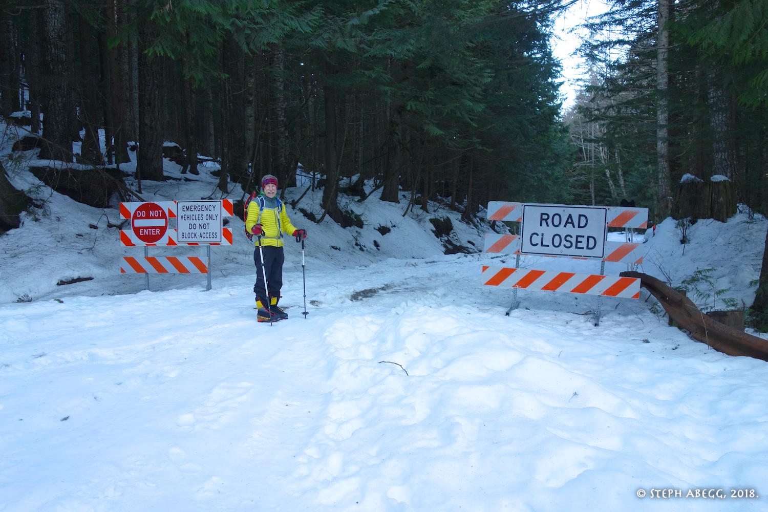
7:30 AM : ~1,800 FT : Leave car
11:57 AM : ~5,150 FT : About 20 feet below summit, when slab broke loose
12:15-12:45 PM : ~5,000 FT : Lunch break
~3:00 PM : ~1,800 FT : Arrive back at car
6:06 PM : Sun sets
PHOTOS
Ira starting up the road. This is just off Exit 47 on I-90.
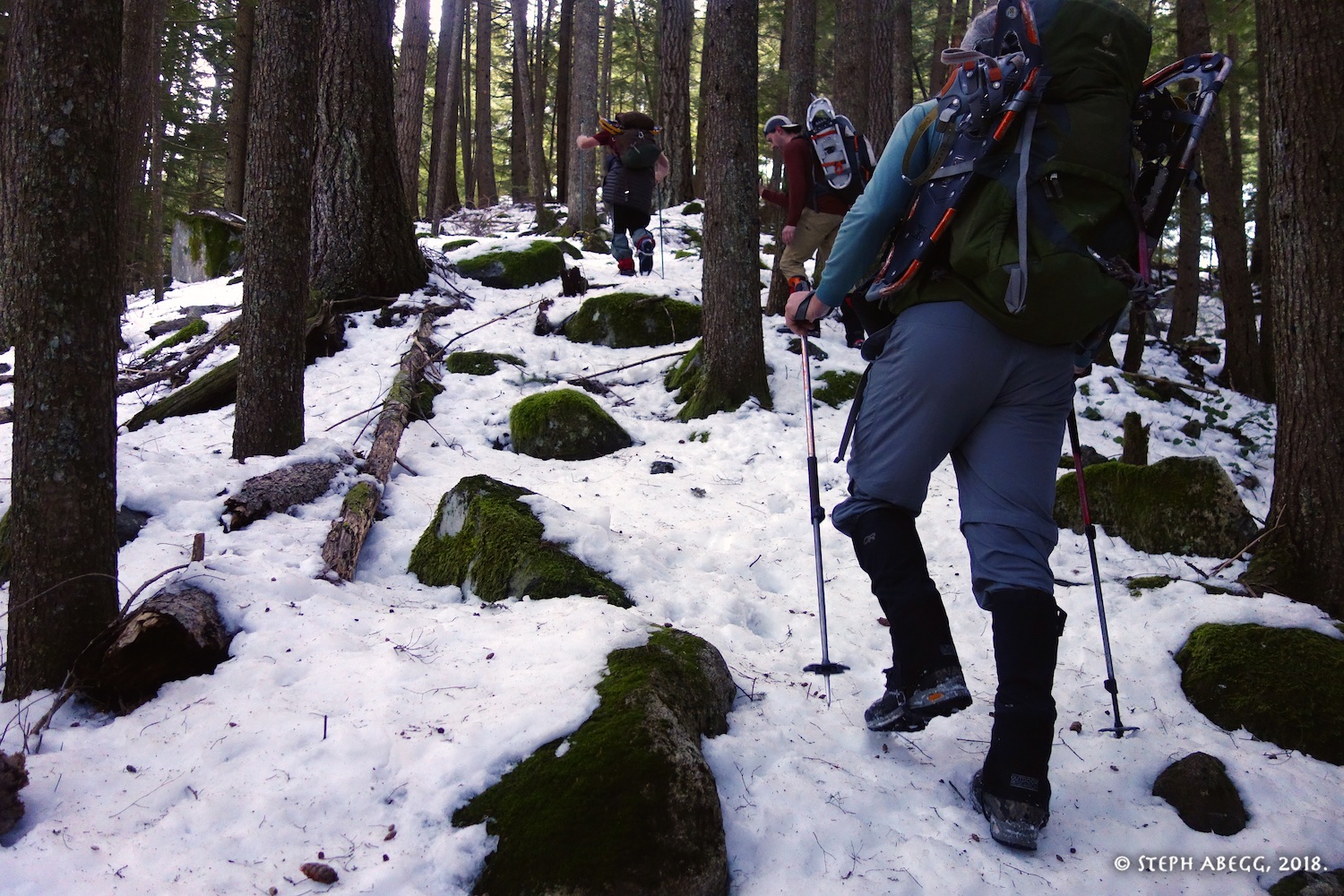
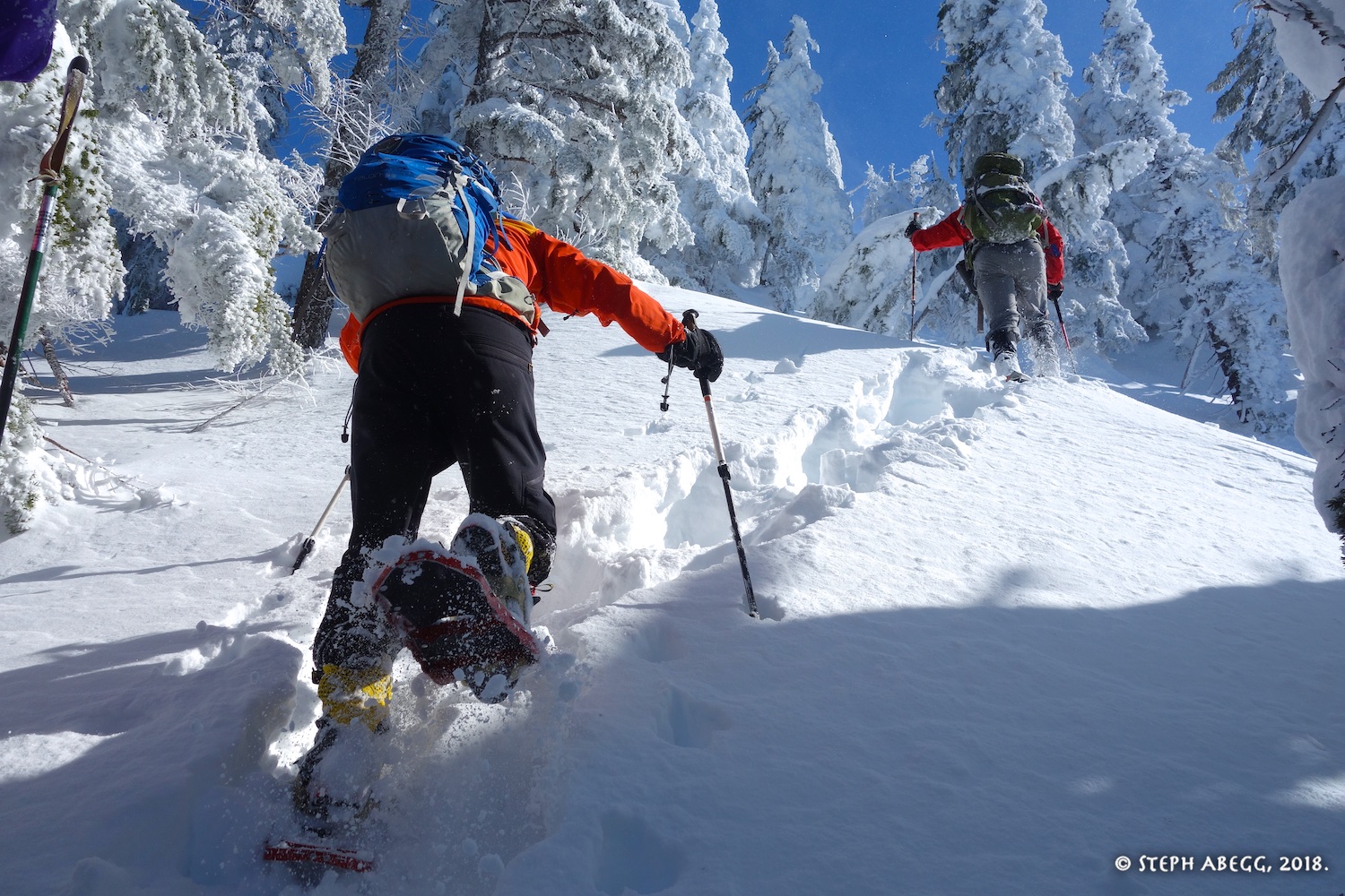
Hiking up the timbered slopes. We did not need snowshoes for the first several hundred feet.
Brett getting ready to dive into the green stuff beyond.
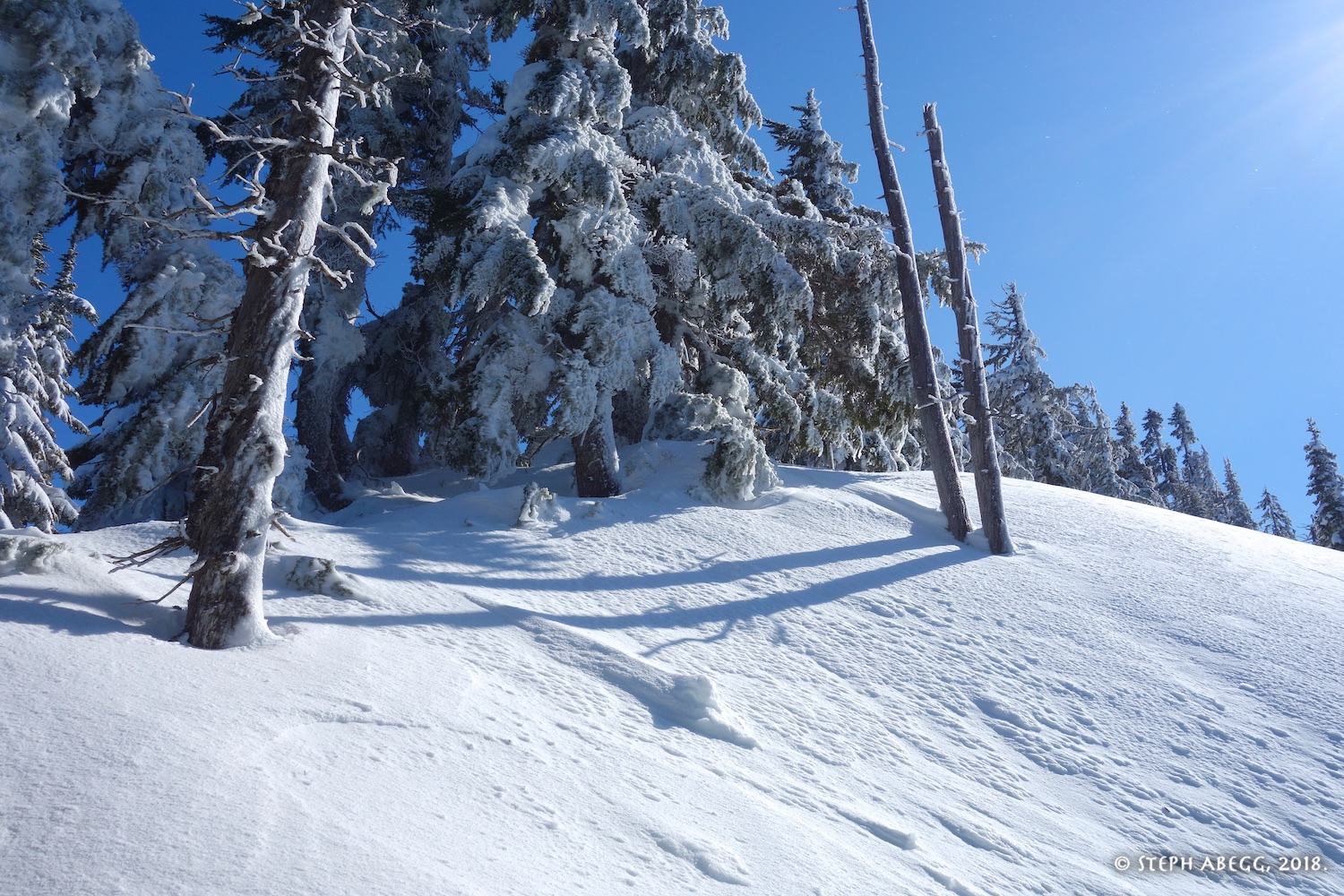
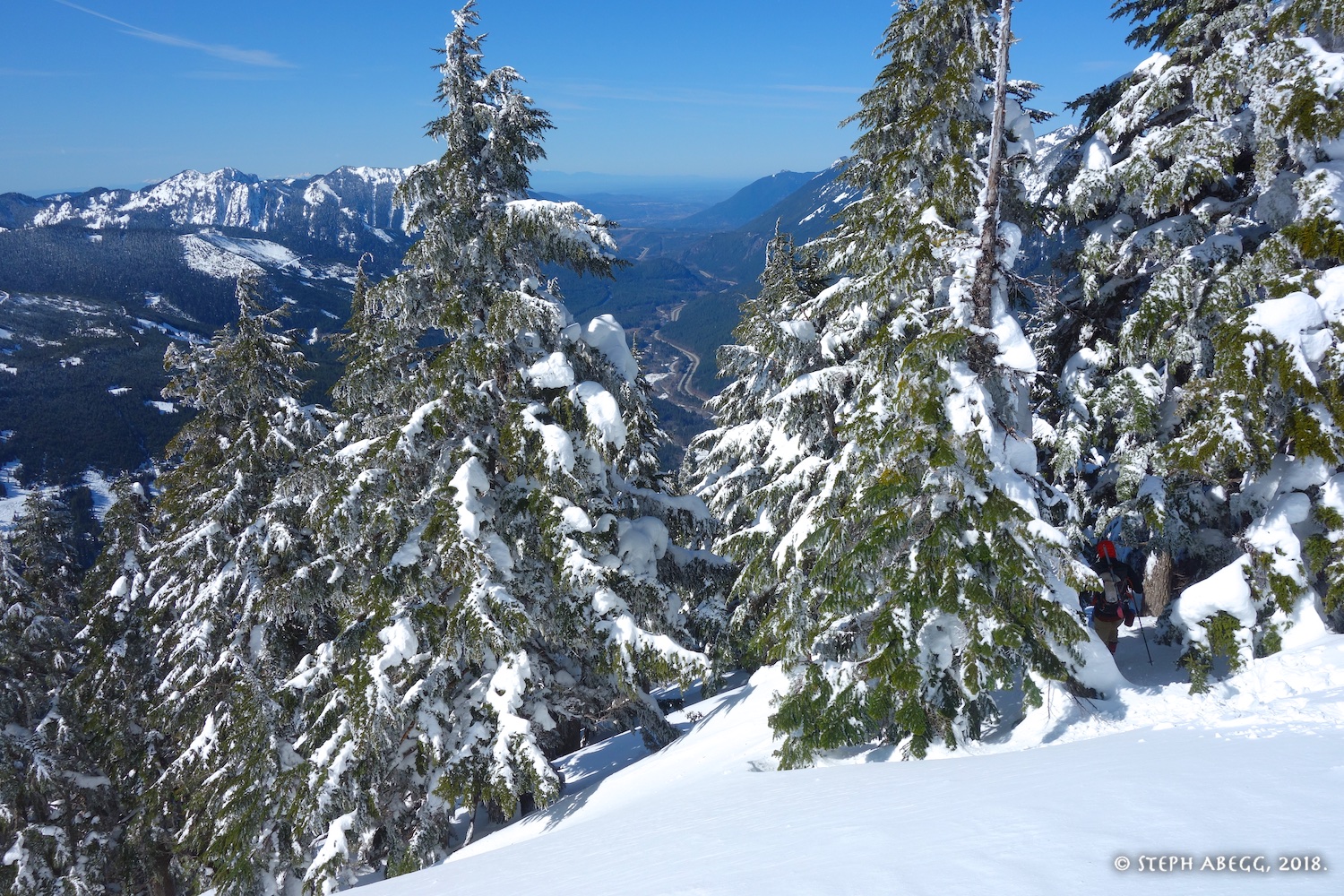
Fortunately the green stuff in the previous photo is short-lived, and the NW Ridge becomes a stroll up through open timber. It's surprisngly pleasant.
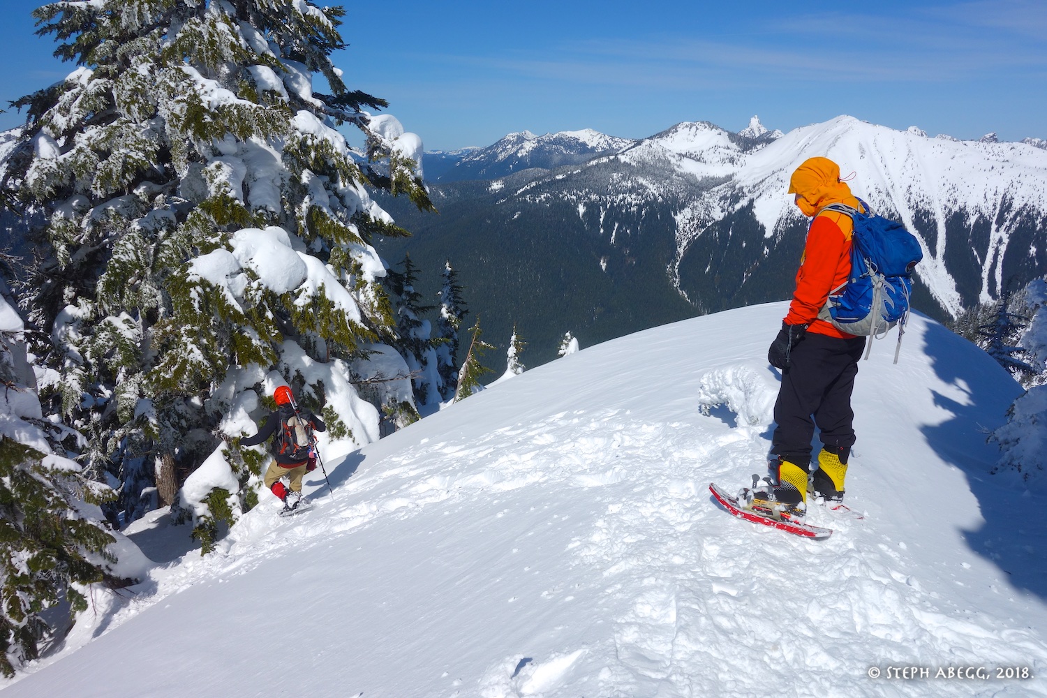
The ridge opens up a bit as you get higher.
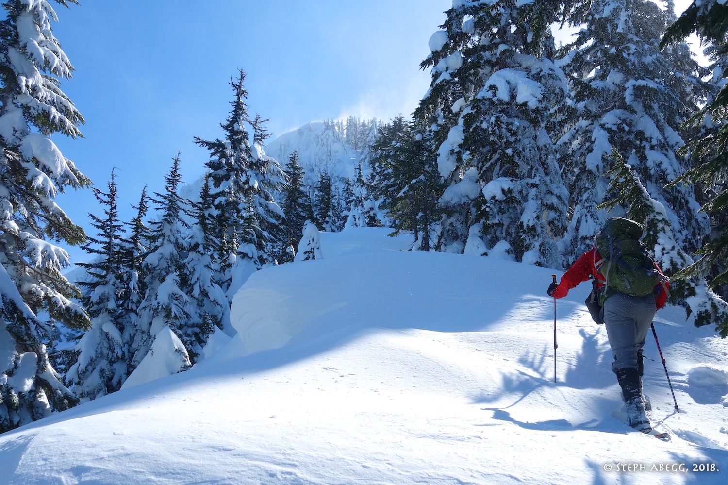
Our first views of the summit.
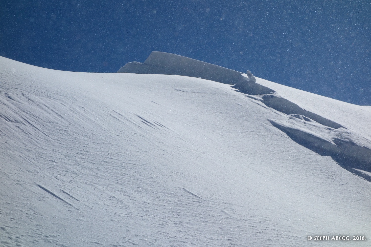
Windy up there. This was our first (and quite obvious in retrospect) warning sign of wind loading on the west slope below the summit (on the right in the photo).
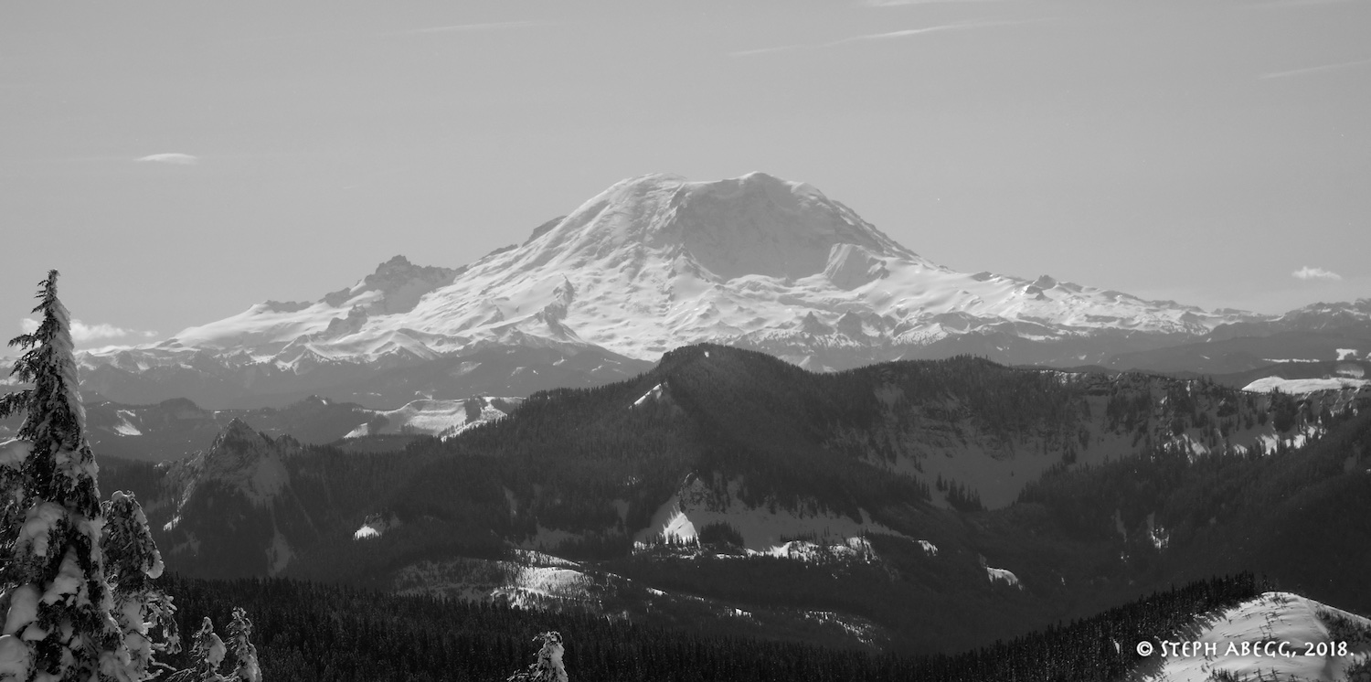
A view of Rainier to the south.
Closer up on Mt. Rainier.
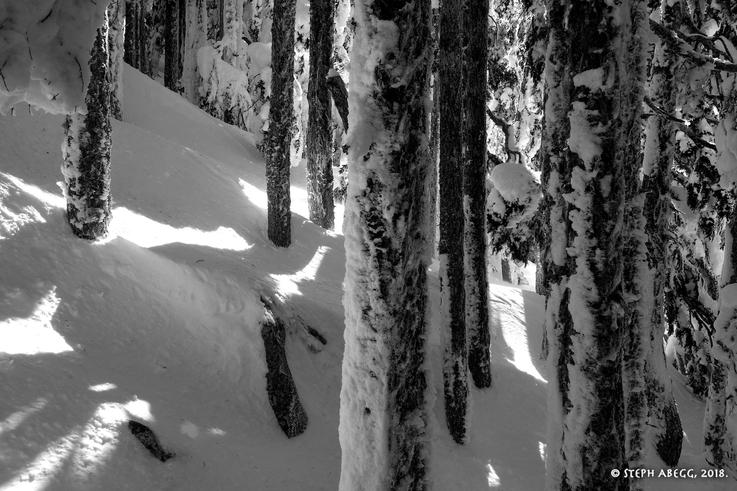
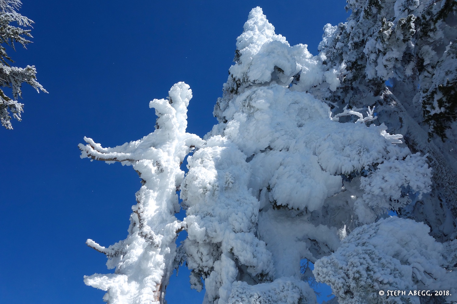
Rime on trees on the upper ridge.
Rime on trees on the upper ridge. This ridge obviously gets some harsh winter weather.
Kicking steps up the powder on the upper ridge.
We were making good time, on track to be on the summit by noon. But we never made it to the top. At 11:57am, we triggered a slab avalanche as we crossed the final slope below the summit. As you can see in the before and after photos to the left, this slope was clearly wind-loaded. Brett and Ira started across first. I hung back at a tree island, waiting for them to get safely across. Then I watched in horror as the terrain in front of me began to ooze downward and a crack snaked across the top of the mountain. The entire NW/W summit slope broke loose. (It all seemed to happen in slow motion to me, but Ira, Brett, and Cal have a more fast and frantic recollection.) Ira, Brett, and Cal were swept down the slope with it, while I stood protected by my tree island and Ian managed to leap onto the tree island next to me, where the two of us hunkered as snow streamed around us. When the snow stopped moving, Ian and I called down to the three below, and were relieved to hear all three of them call out that they were okay. (I think the main danger was not getting buried by snow but getting slammed into a tree hard enough to get seriously hurt, but fortunately this did not happen.) We were quite fortunate that the only casualties were Ira's ski poles, Brett's glasses, and Cal's phone. The general consensus was that as a group we had failed to take heed of the ample warning signs and changing conditions as we approached the final summit. It was a classic case of "pack mentality": the group is okay with it so, so so am I train of thought. We got lucky this time and are (hopefully) a little wiser because of it.
Brett emailed the following after the trip: "fyi – i went through my gps track (my gps was in my pocket and recording the whole time) carefully and gleaned some interesting information:
the avalanche occurred at 11:58am
i was carried ~40 vertical feet (ira, i estimate was ~10 vertical feet below me, so he was carried about 50 vertical feet)
we were on the west side of the summit and we were carried in a westerly direction, as also evidenced by the location of rainier in relation to us.
my face was submerged in snow (i was being dragged head first on my back) and i had difficulty breathing until i uncovered myself. since i was able to uncover myself, i can only assume there was only inches of snow covering my face and body."
Ira emailed the following after the trip: "here's a screenshot from my GPS. also shows i went about 50 vert feet and 75 feet of distance (within the accuracy of the GPS). also says i was moving at 8 MPH.
btw: if the slope was 35 deg and i went 50 vert feet, i should have traveled 88 ft. so i would estimate it was in the ballpark of 40-50 vert feet and 70-88 ft in distance."
More from Ira: "...i do hope i will think more about the terrain features and avy conditions based upon this experience. there were too many things we overlooked causing this to occur. there was clear wind slab on the higher slopes (which the avy report said there would be), we could see the wind blowing extensively on the slopes when we were further down, the slope had been in the sun for awhile, the angle was perfect for this to occur 35 deg or so, maybe steeper right at the top, and then we cut the entire slope by our track across it allowing it to release. the question is whether we will be able to use this information to help in the future. i hope so but certainly no guarantees."
Looking up at the crown on the right side of the slope. It was about 2 feet thick.
Looking up at the crown on the left side of the slope. It was about 2 feet thick.
Heading down. Kaleetan Peak poking up in the distance.
I-90 corridor below.
Heading down the pleasant timbered slopes of Humpback's NW Ridge.
Useful beta. Updated route information. Corrections. Historical notes. Interesting facts. No fluff please. Please do not put links in your comment, as my spam filter will filter those comments out.