A few days earlier, I had climbed the
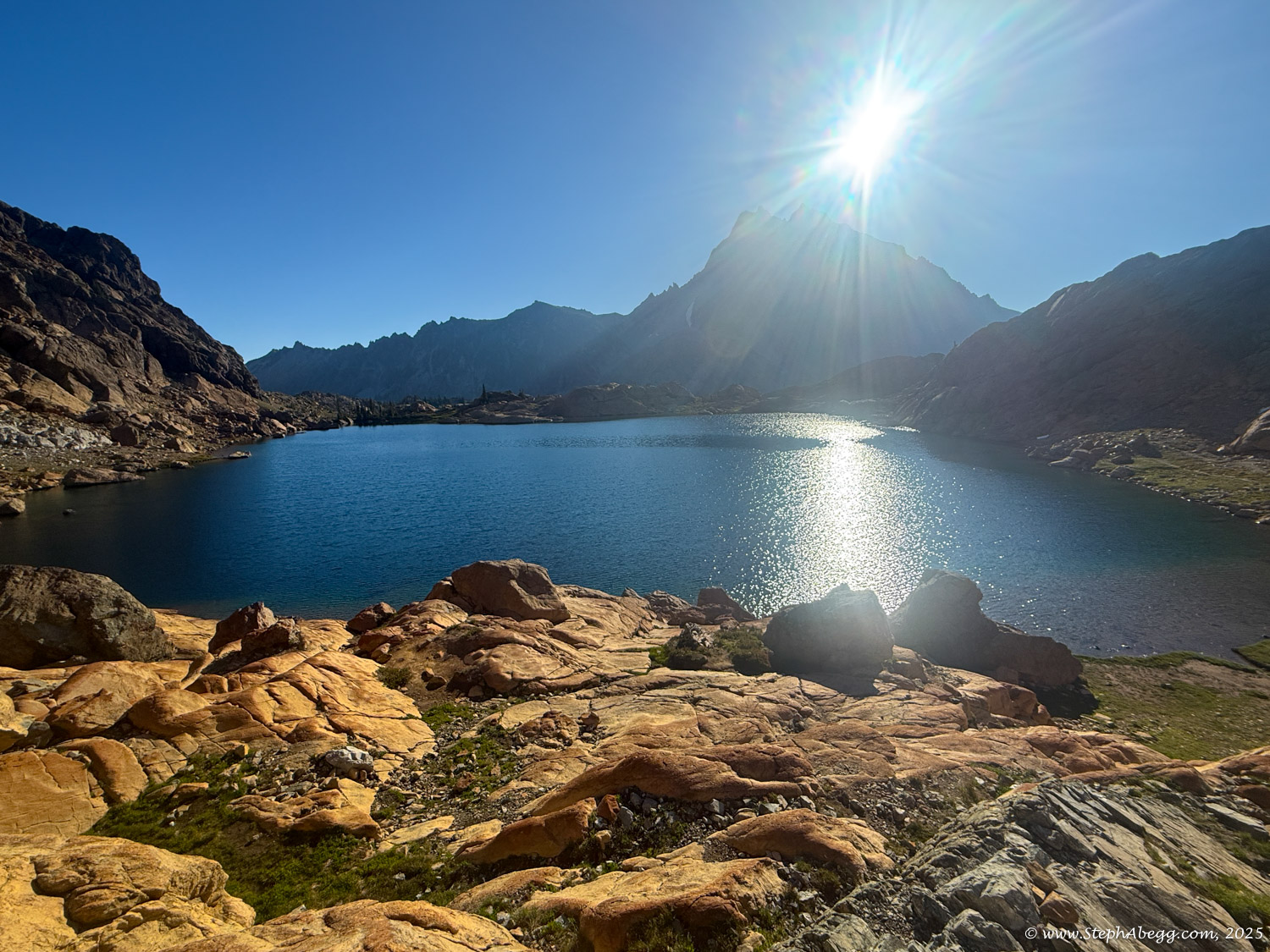
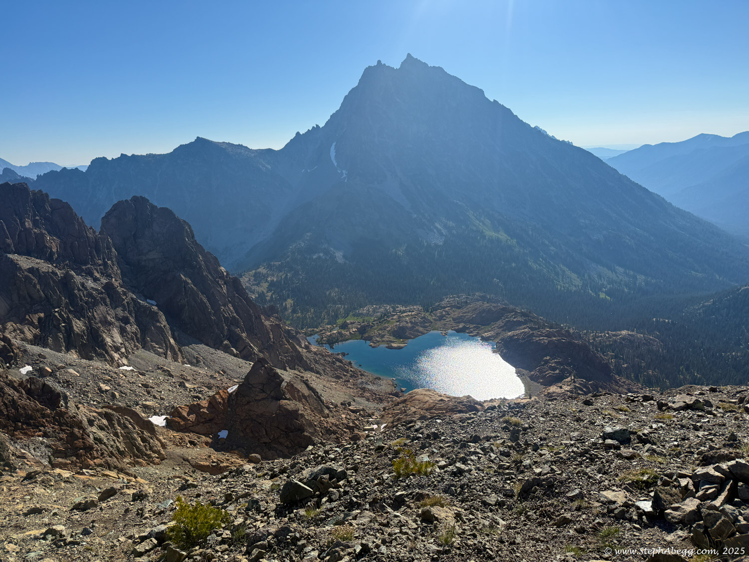
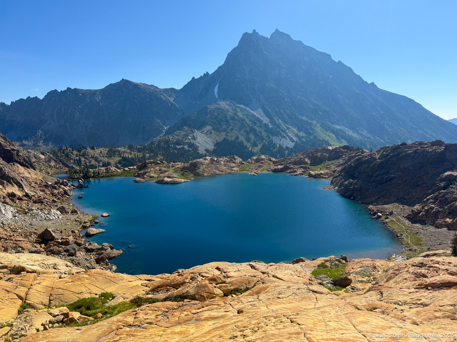
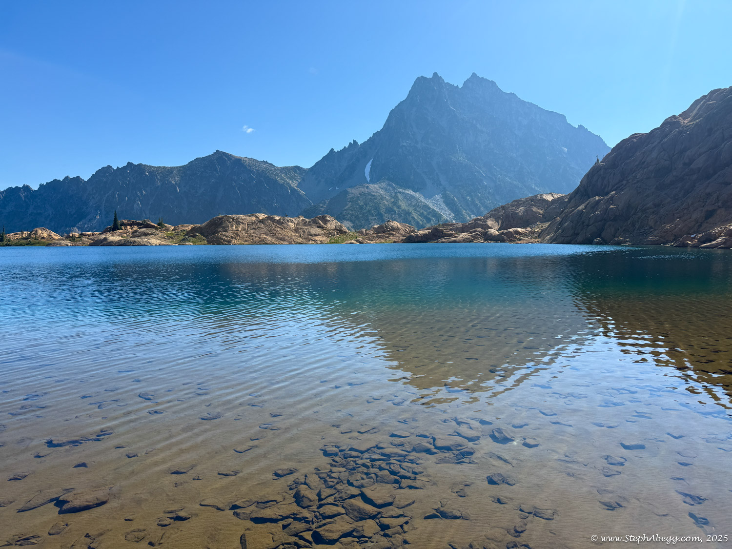
West Ridge of Mt. Stuart and looked across at Ingalls Peak and Lake Ingalls. I found myself wishing I had chosen that approach instead—Lake Ingalls looked especially scenic, and I was curious what it was like up close. I decided to check it out, and include a scramble of Ingalls Peak.
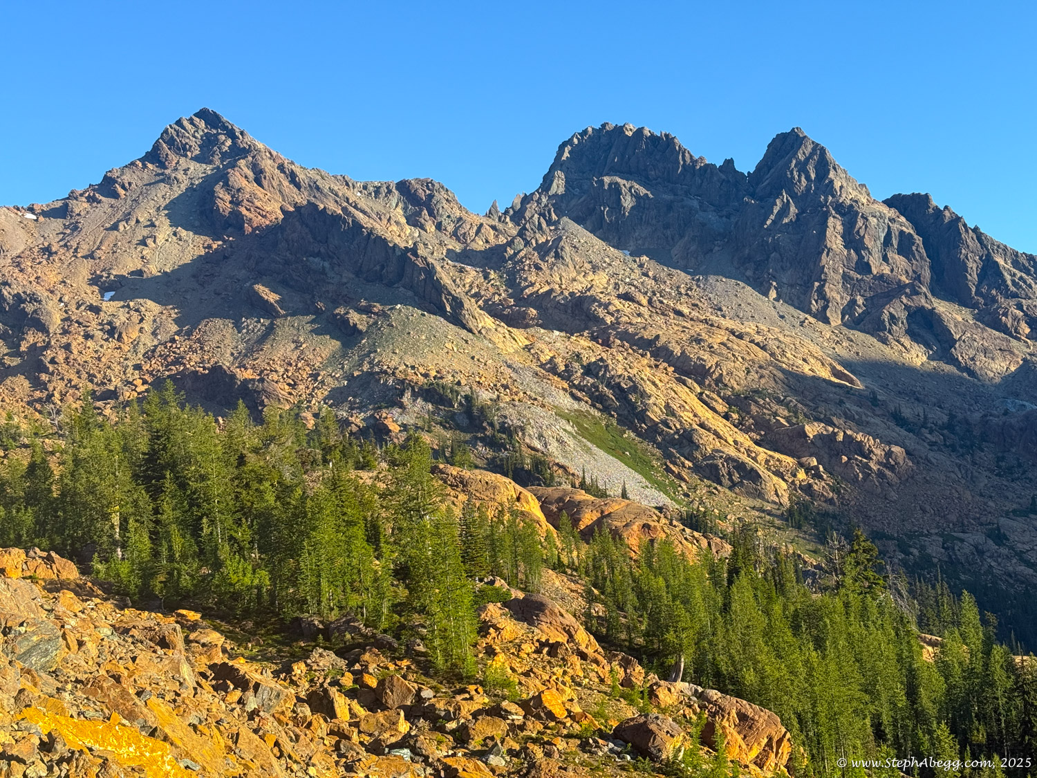
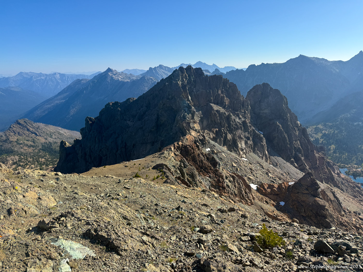
Ingalls Peak, standing at 7,662 feet, is a triple-summit mountain located in the Alpine Lakes Wilderness on the border between Kittitas and Chelan Counties in Washington. It’s the tallest peak in the Teanaway region of the Wenatchee Mountains.
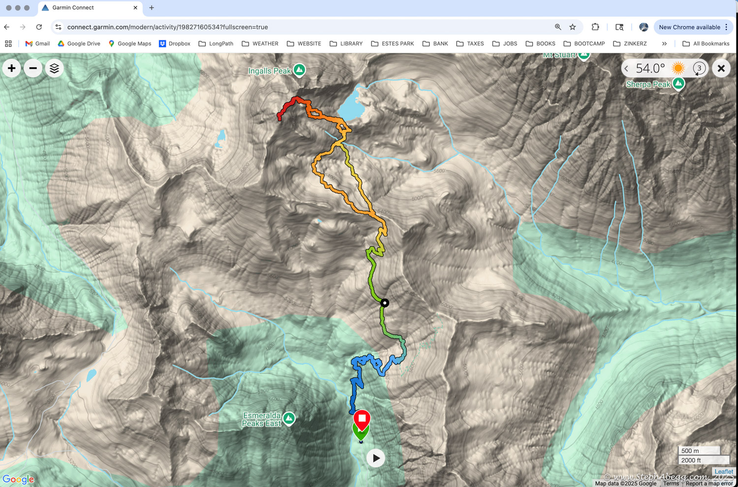
The South Peak of Ingalls is an 11-mile round-trip scramble with about 4,200 feet of elevation gain. It’s rated as an intermediate scramble, with a few exposed moves along the way.
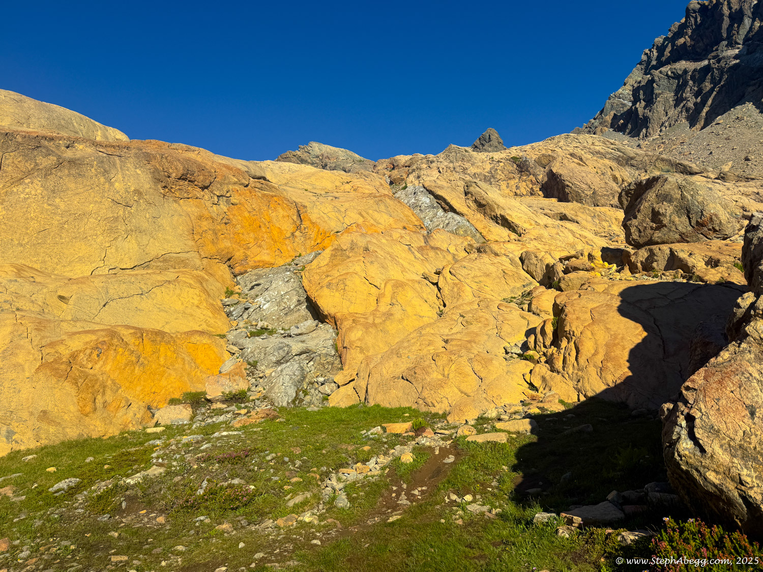
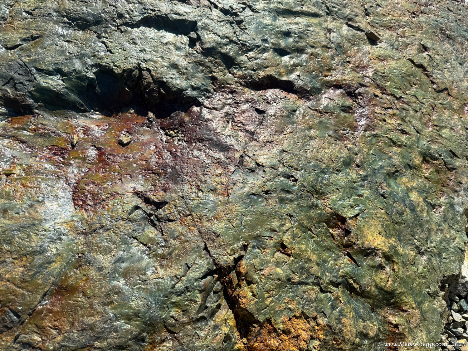
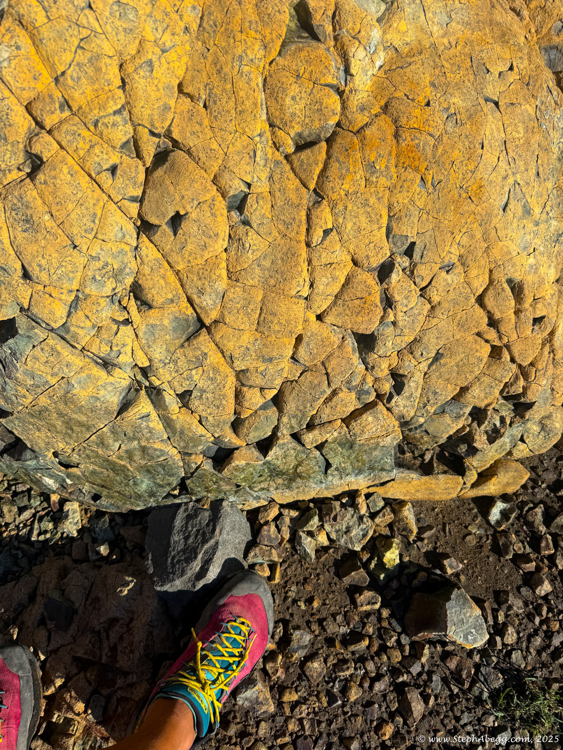
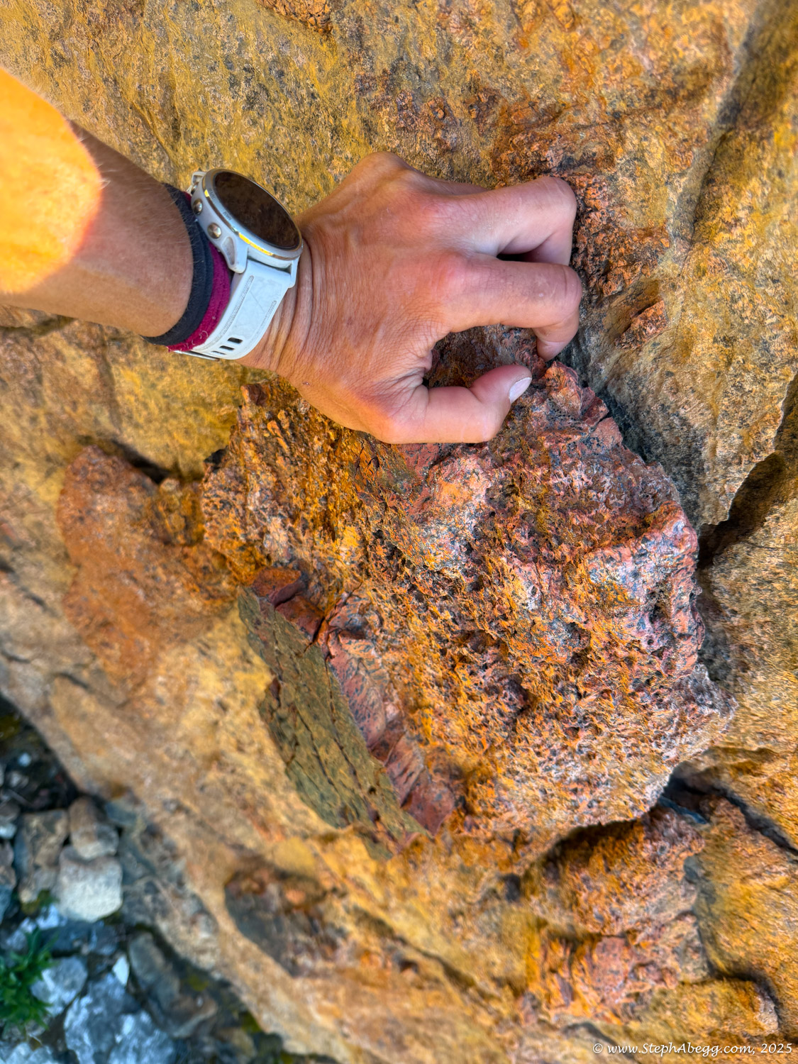
Geologically, Ingalls Peak is composed primarily of serpentinite and peridotite—ultramafic rocks originating from the Earth’s mantle. These rocks are part of the Ingalls Tectonic Complex and include serpentinized and metamorphosed formations.
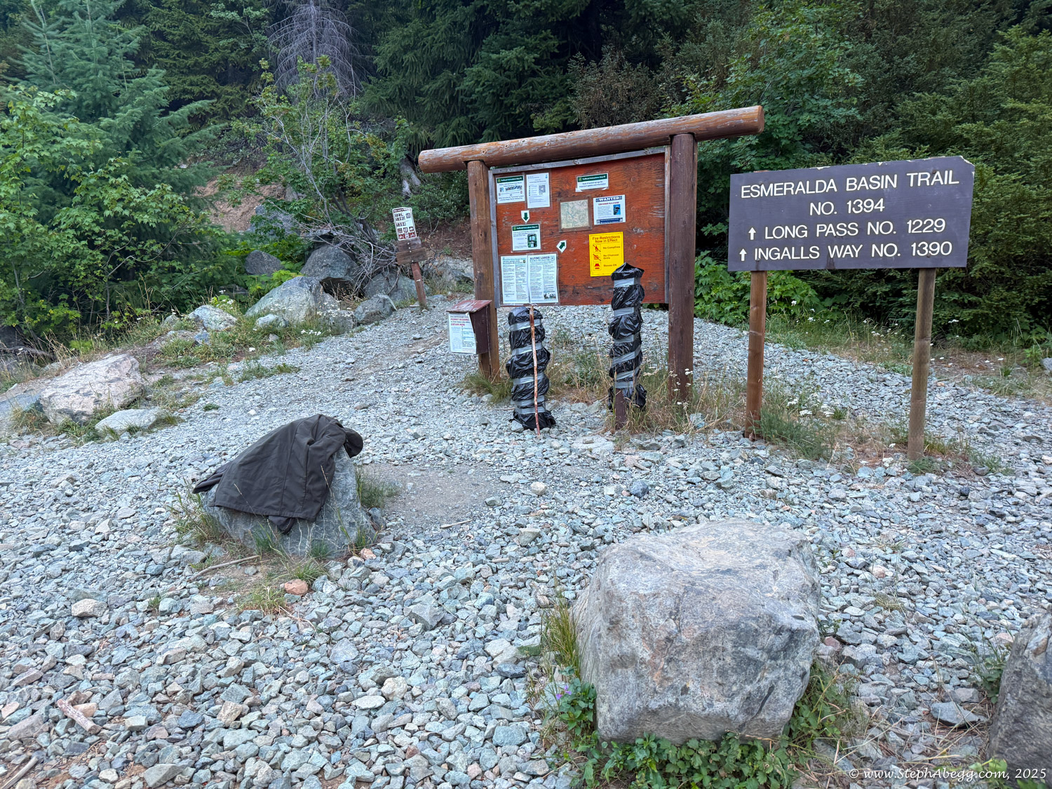
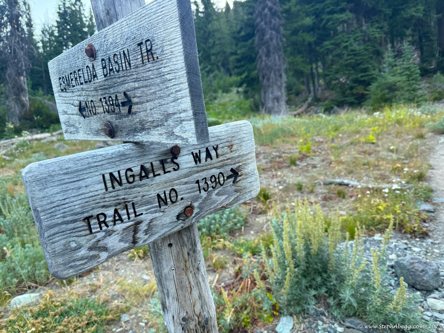
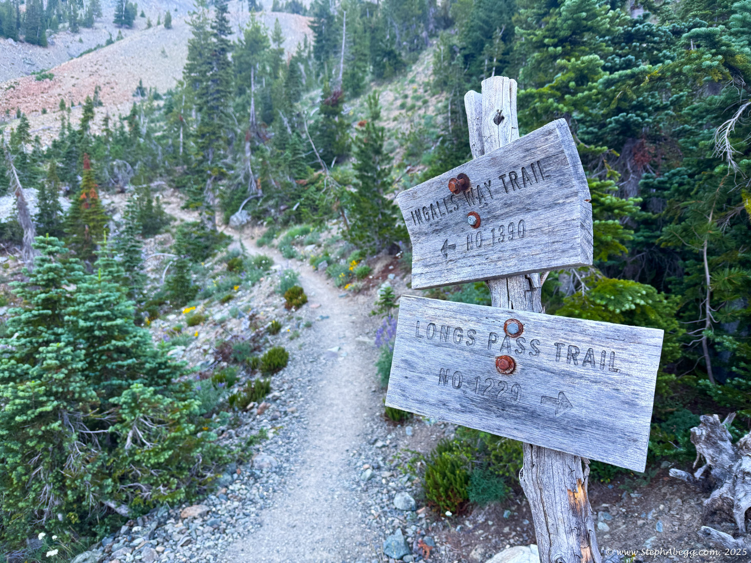
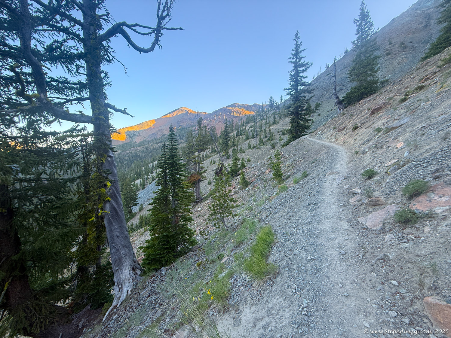
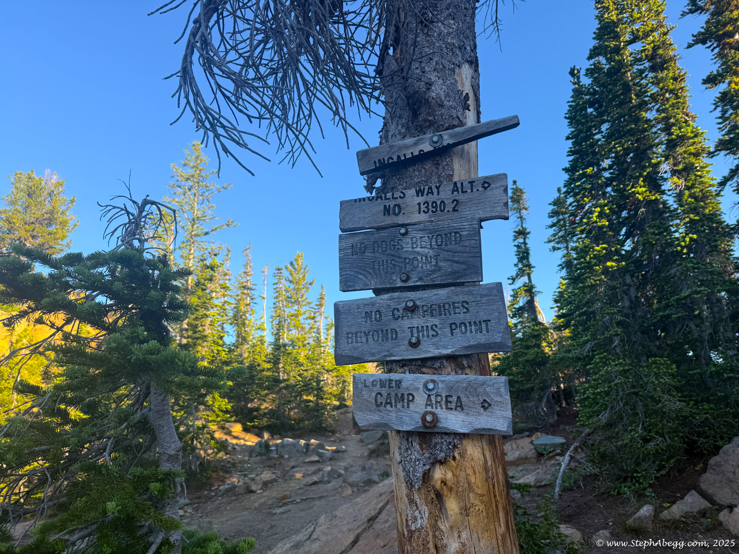
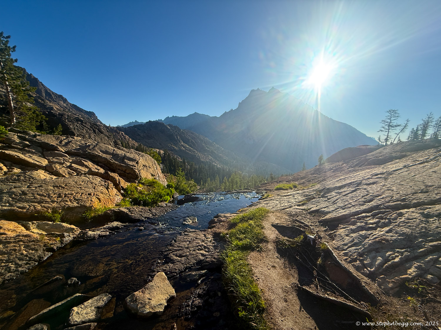
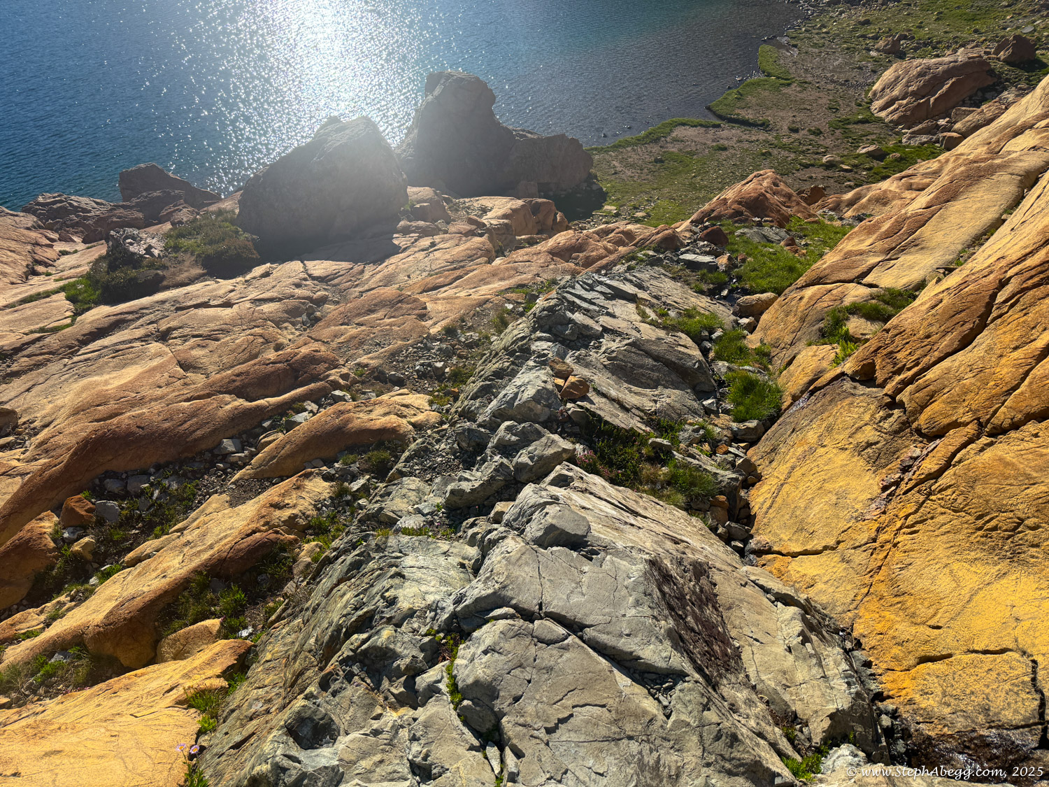
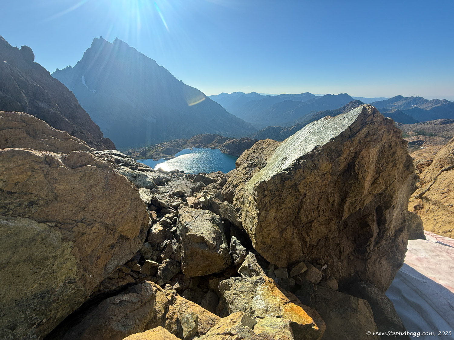
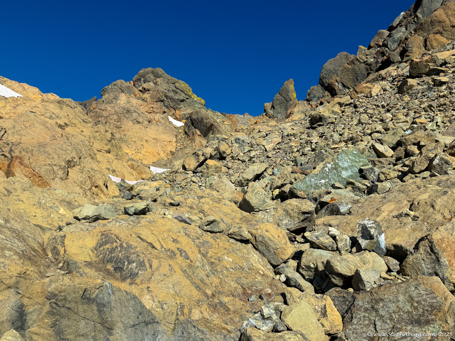
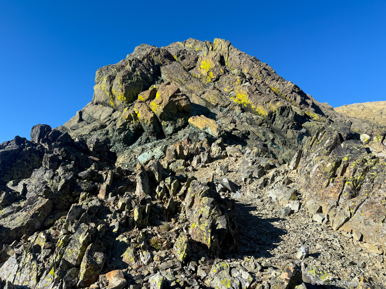
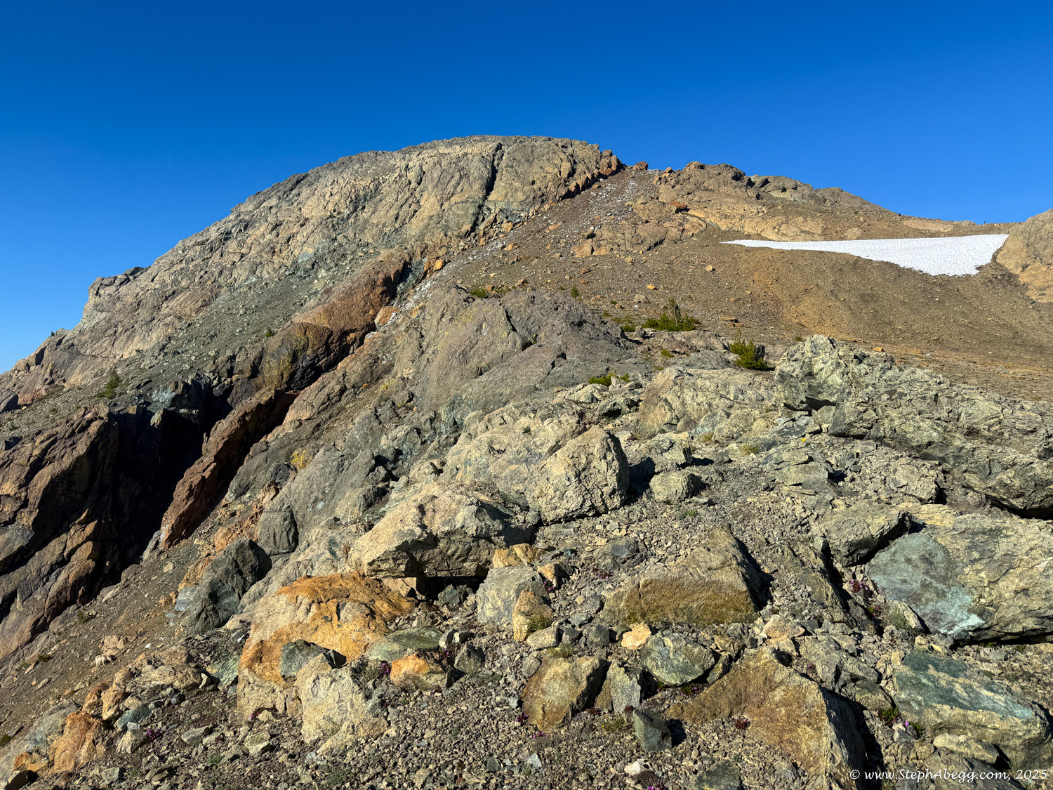
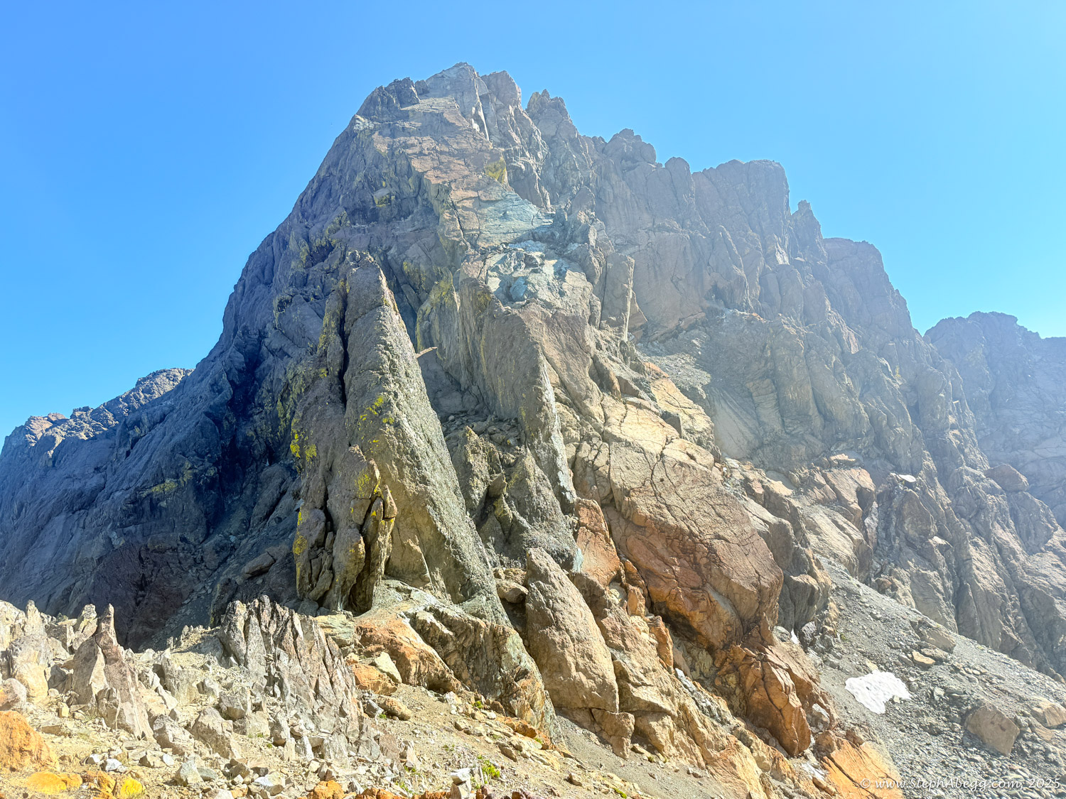
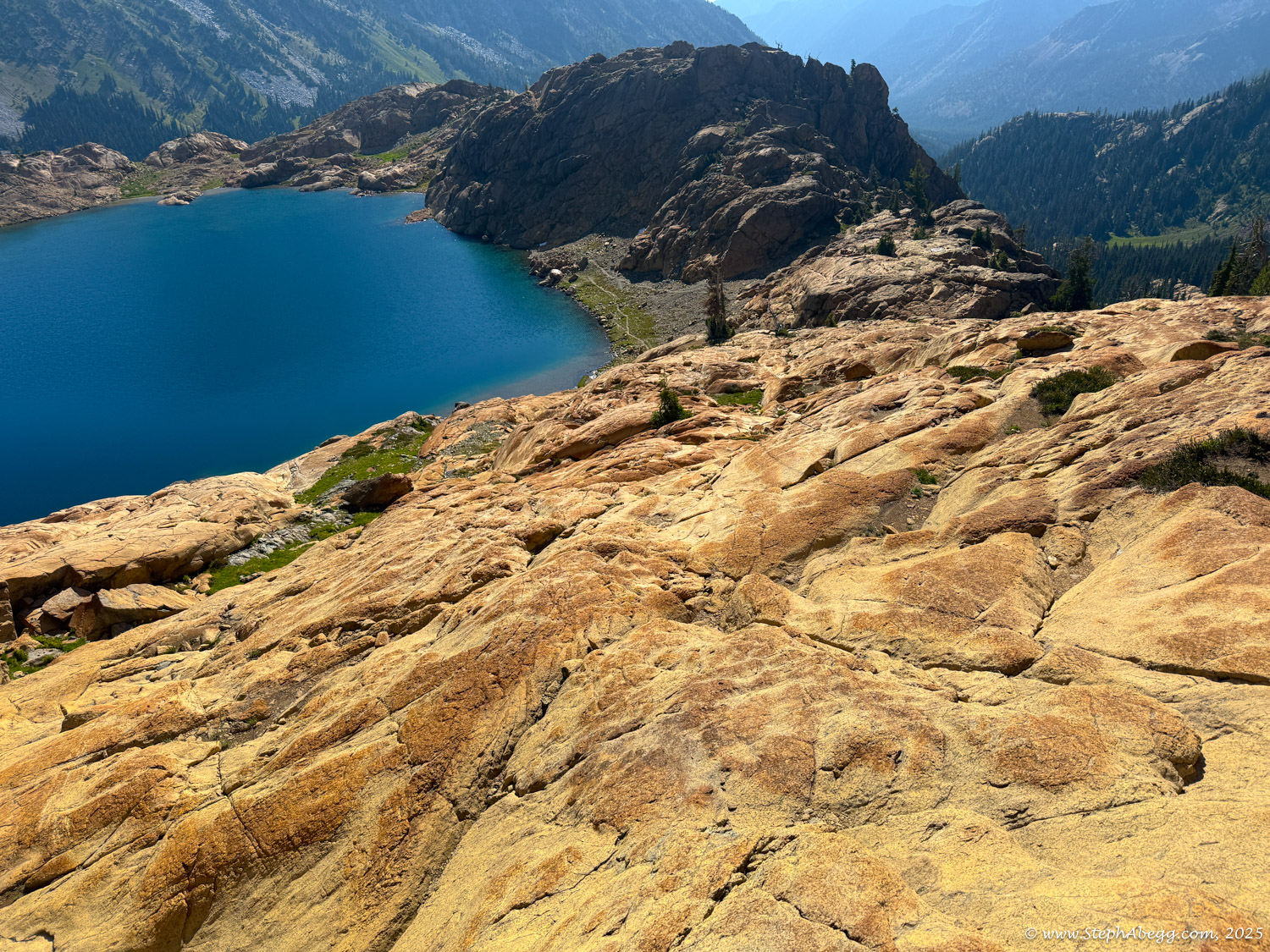
The standard route begins on the Ingalls Lake Trail, following it for 3 miles over Ingalls Pass, then continuing another mile down to the lake. From there, you ascend slabs, talus, and boulders to the notch between the North and South Peaks. A small spire marks the saddle—aim just left of it. Steep snow may linger below the saddle. From the notch, drop down about 50 feet to the west side of the ridge, then climb one of several gullies (~100 feet of Class 2–3 rock) back to the ridge. Follow the ridge to the summit over a mix of snow and rock.
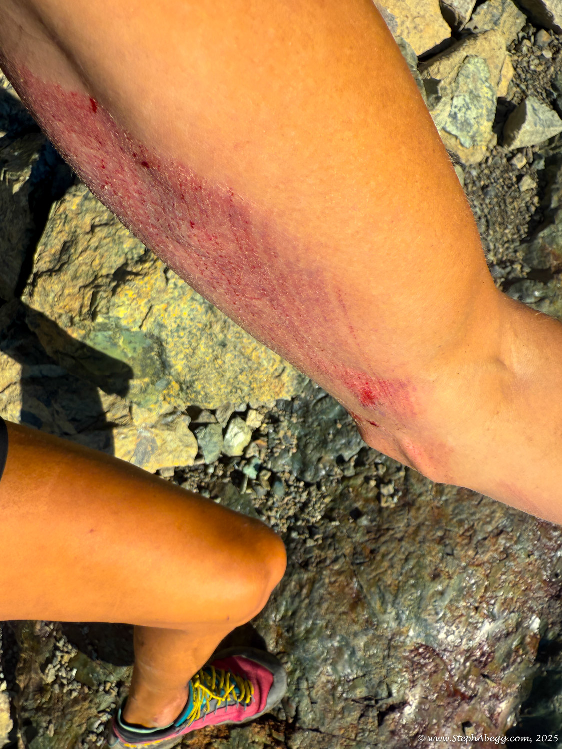
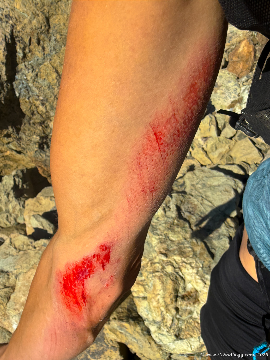
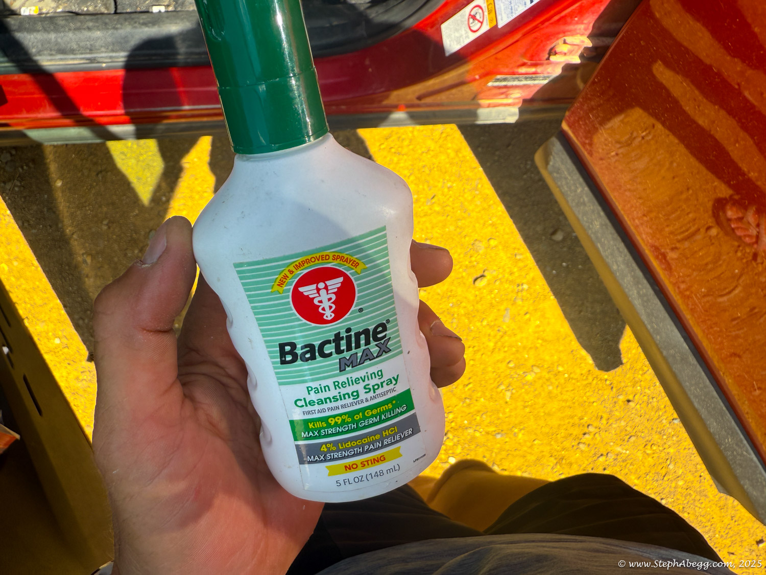
The North Peak is a little harder to get to, with the easiest route being 5.3-5.6 depending on route finding. I had tentatively planned to solo this and had brought rock shoes, but on the approach I took a slip while scrambling through some boulders—earned some deep scrapes on my arms—and decided it was a sign that soloing was not for me today. So I was happy to just nab the South Peak.
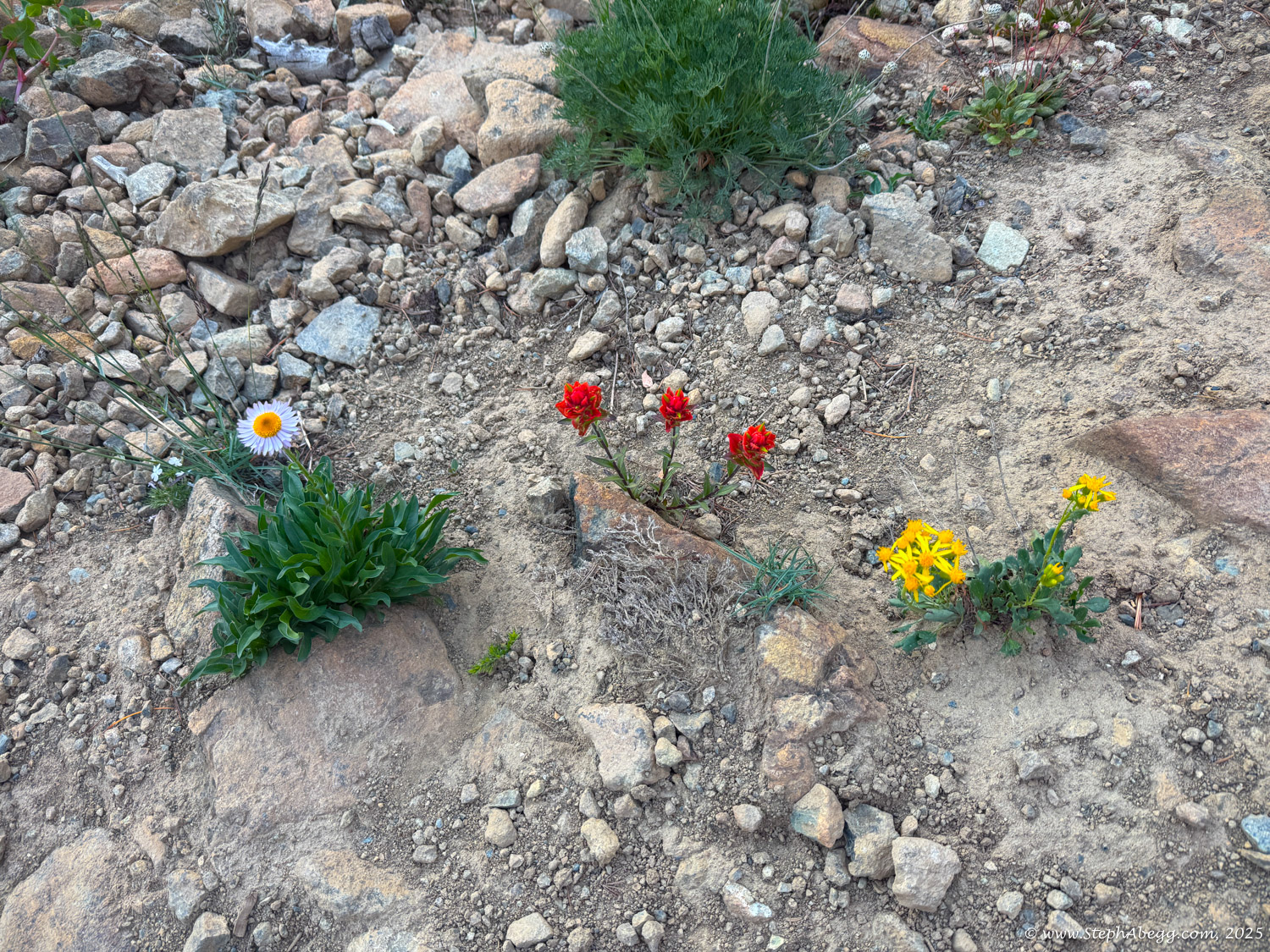
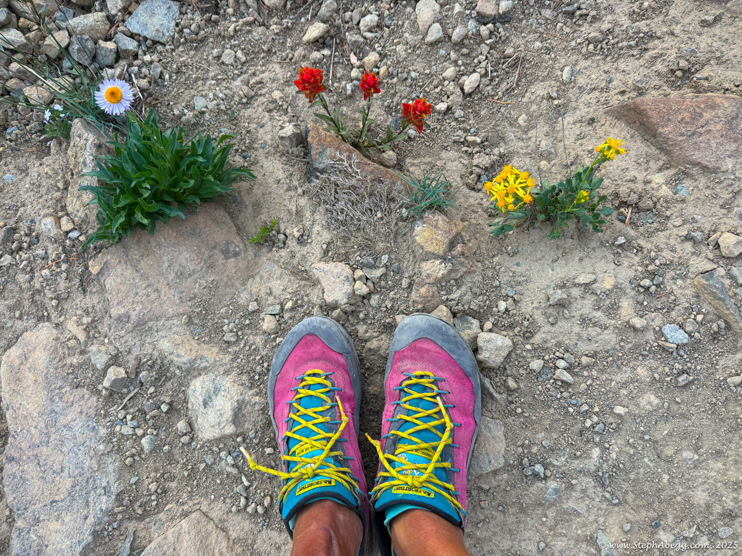
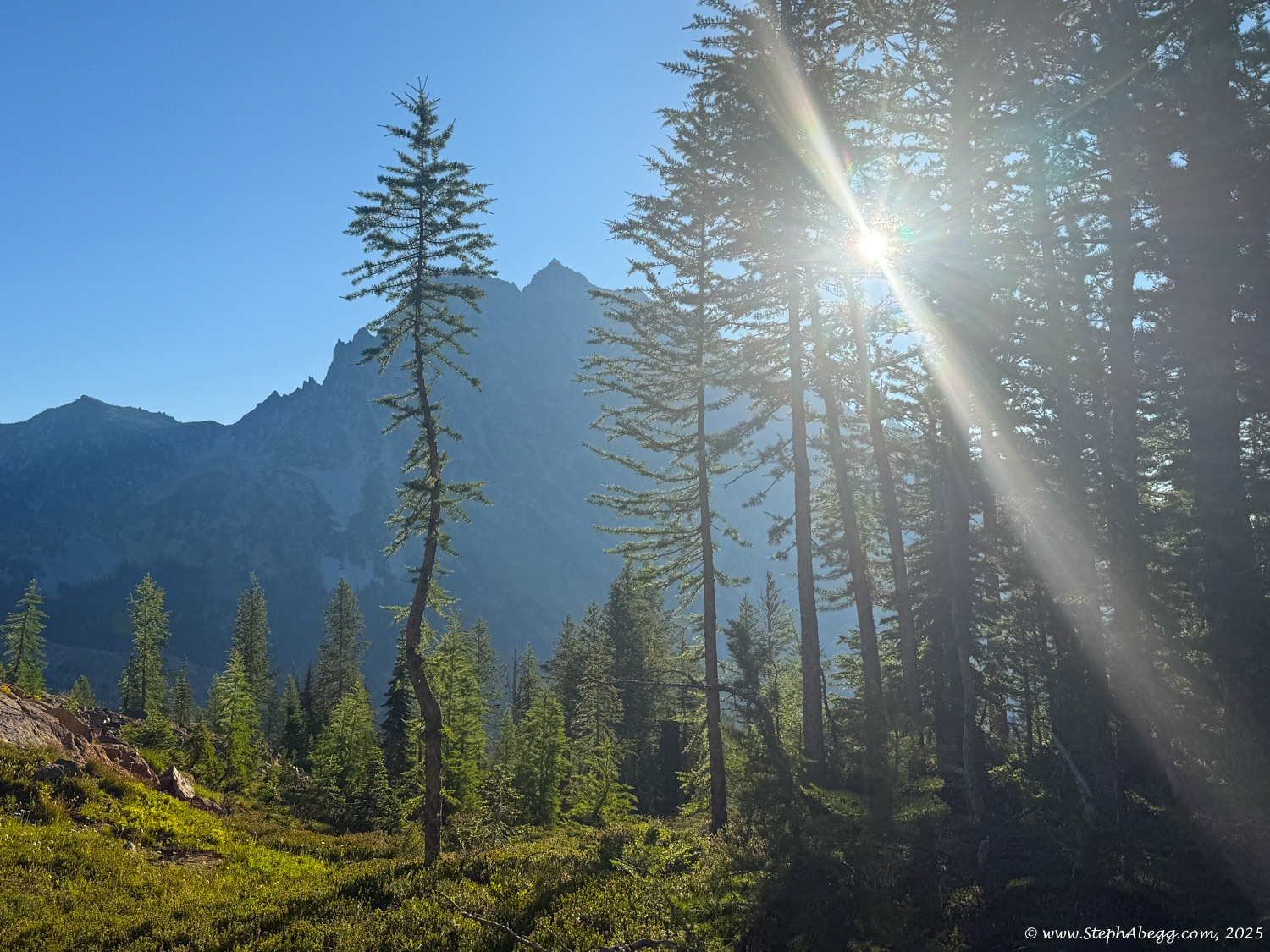
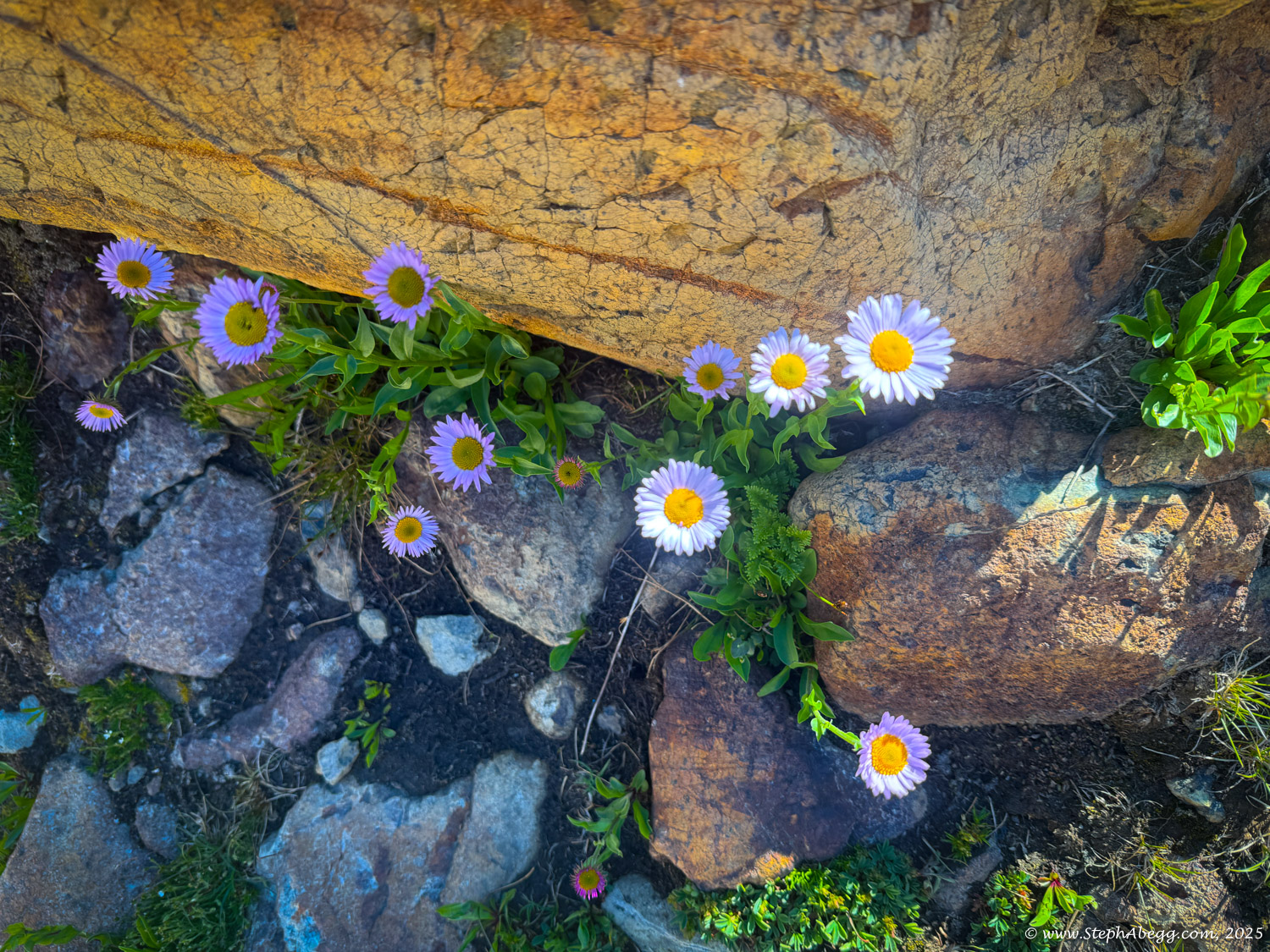
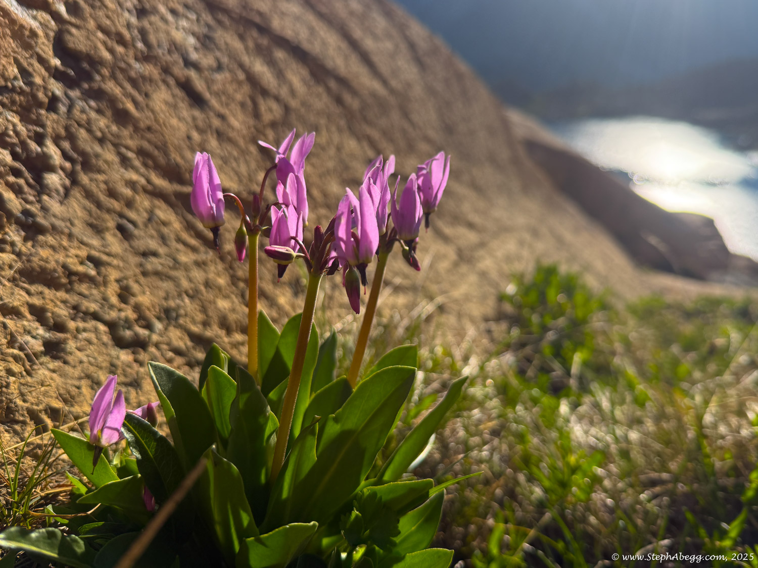
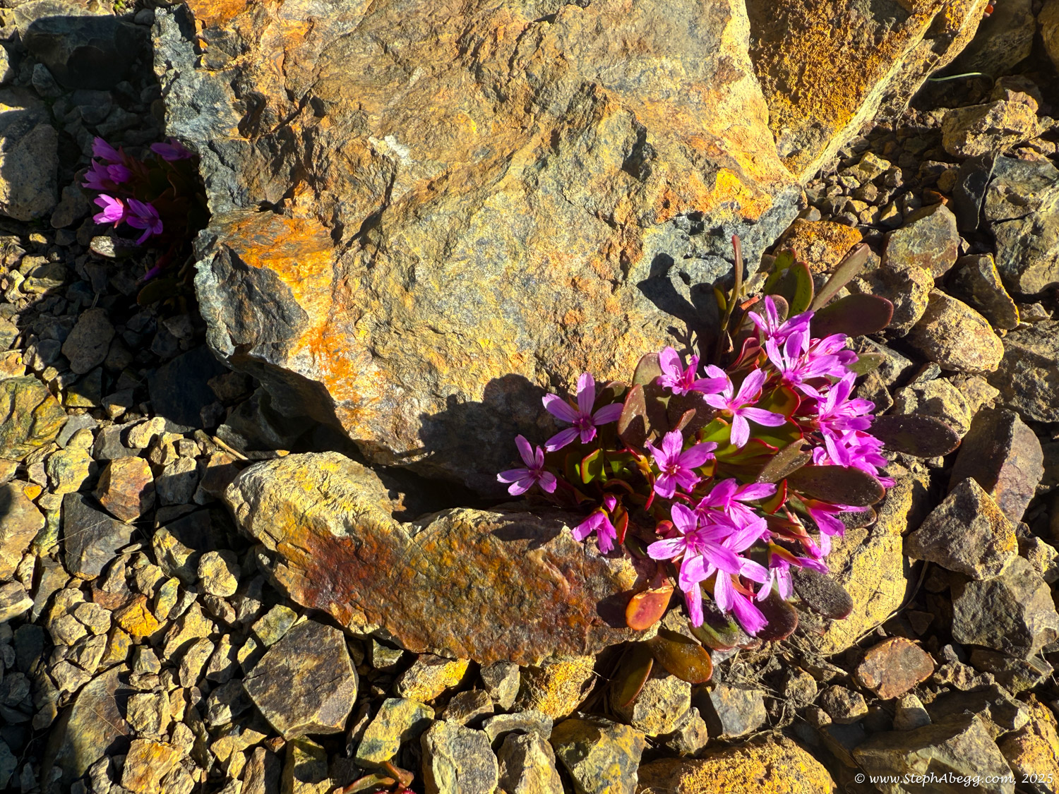
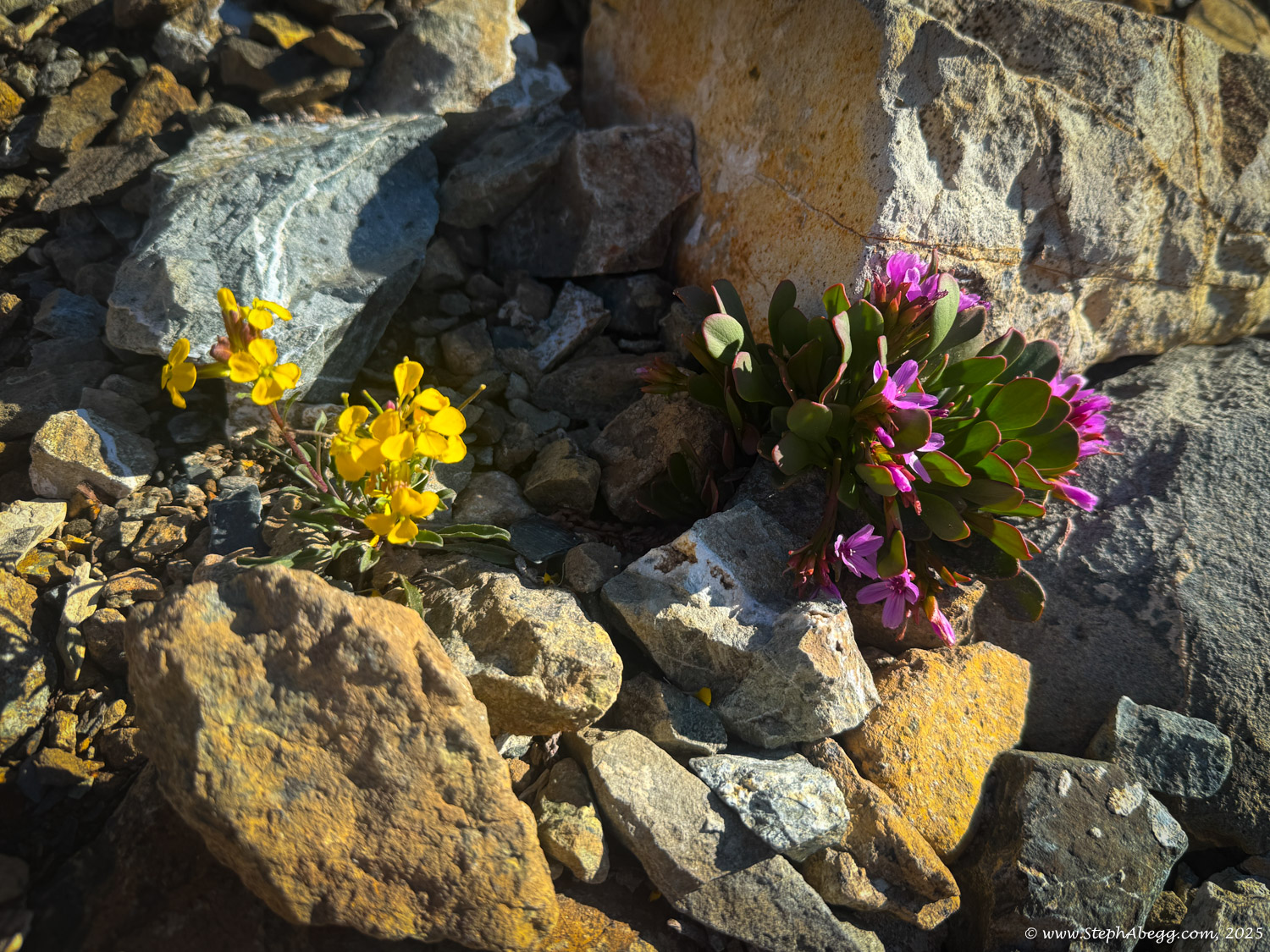
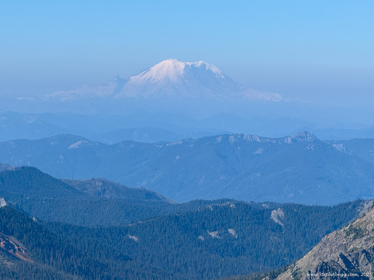
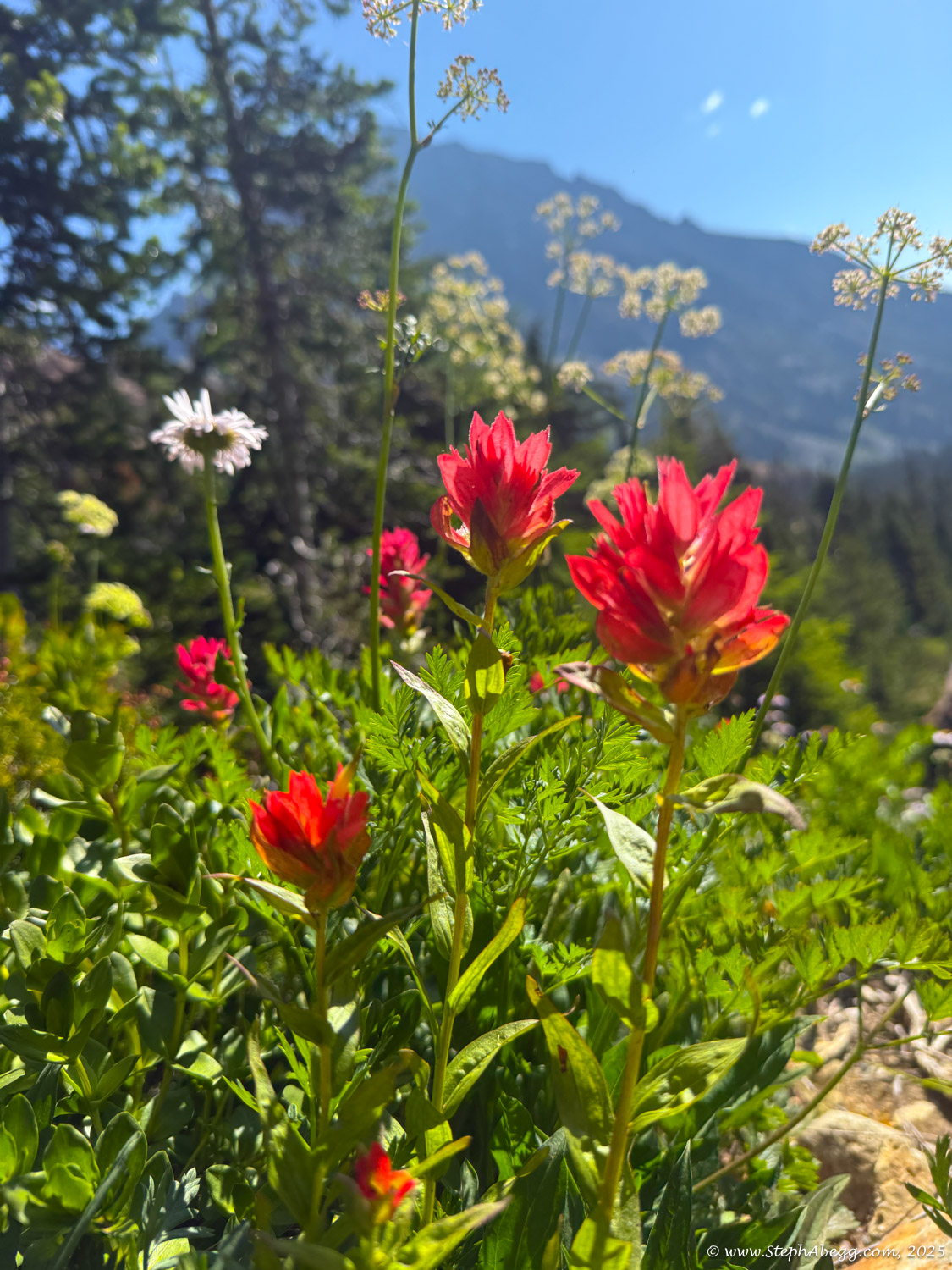
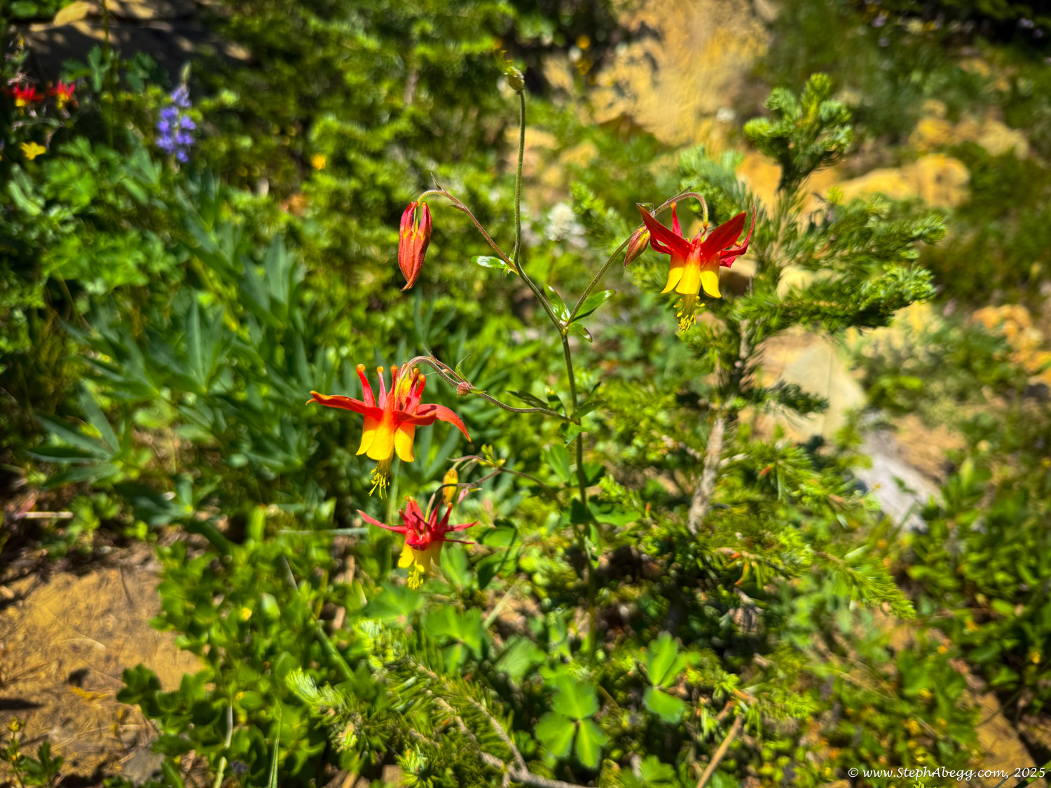
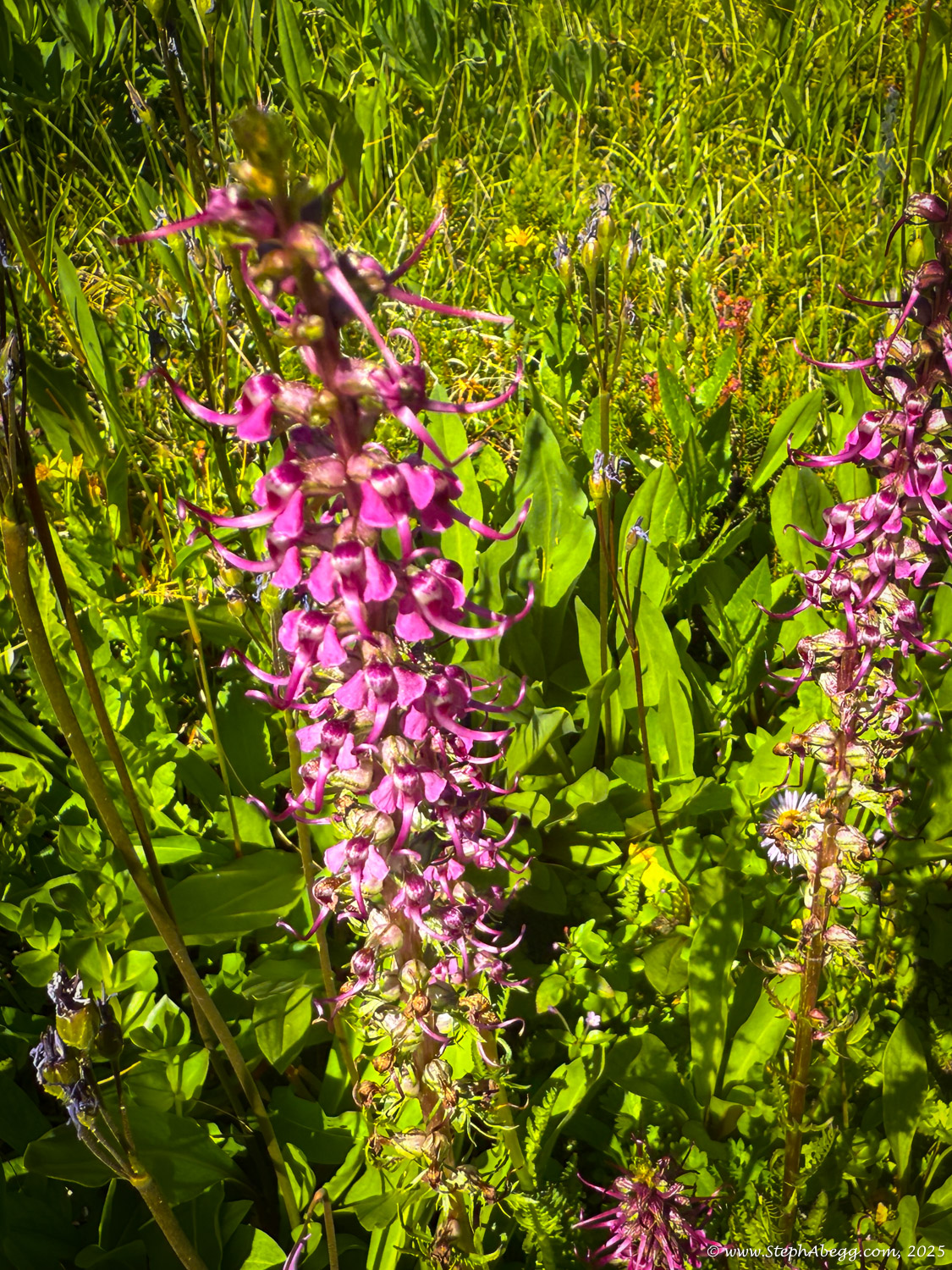
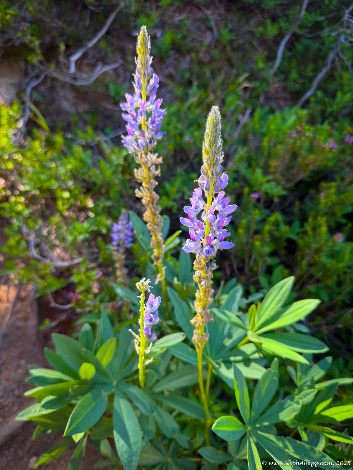
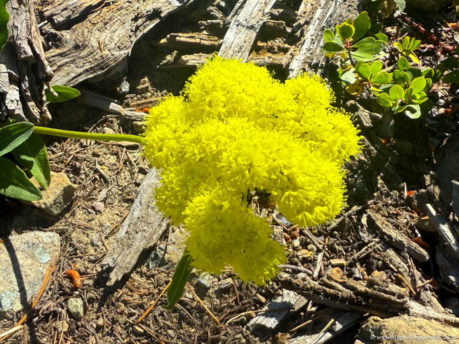
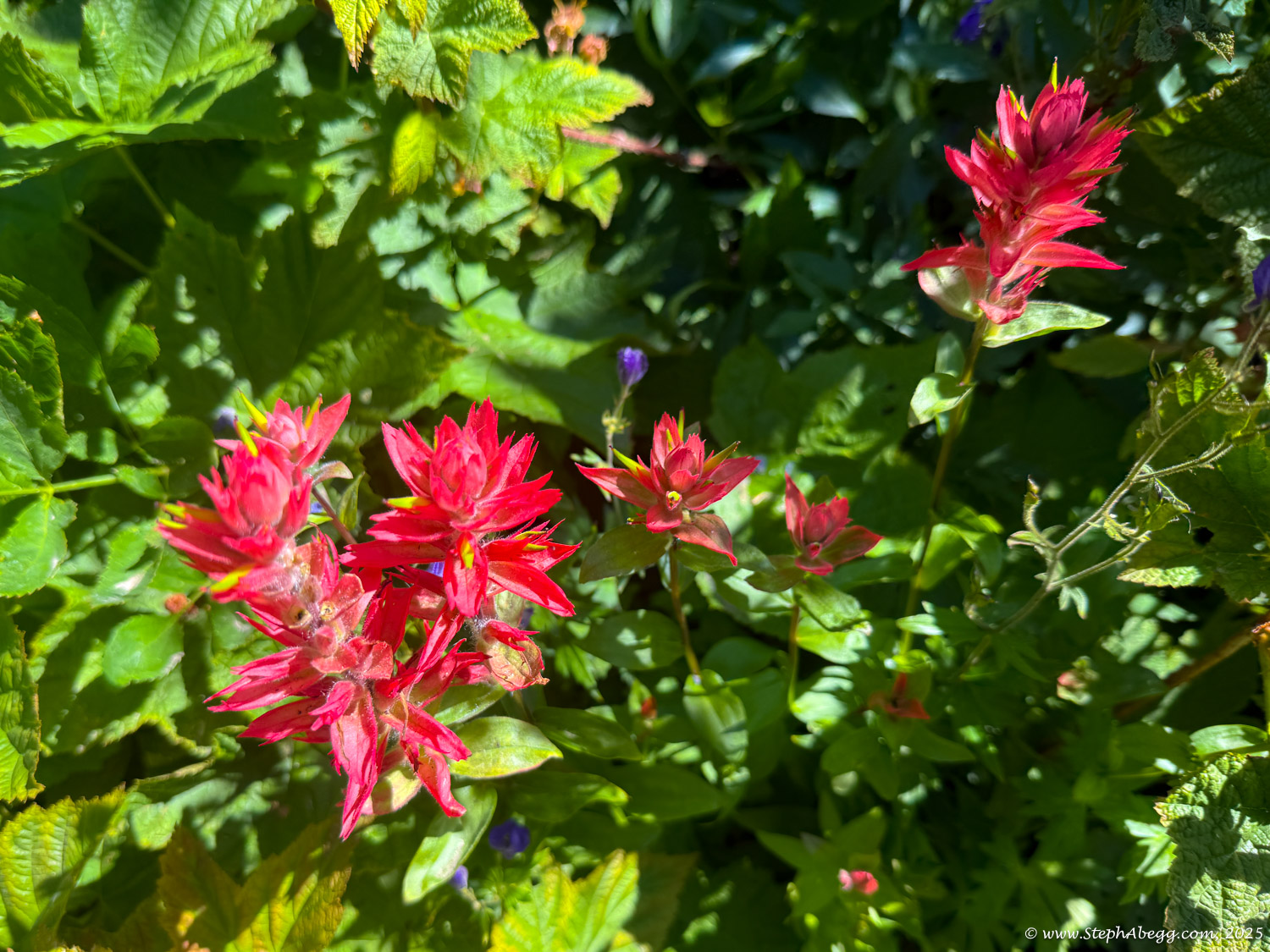
The following page shares photos from my day out. Despite the tumble, it was a lovely morning in the mountains. The wildflowers were in full bloom!