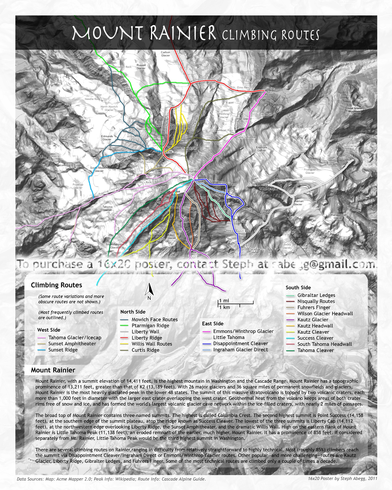
My initial plan was to climb Mt. Rainier's classic Liberty Ridge in May 2010, but when the spring dumped several inches of snow in the Cascades, I was forced to wait until later. June's weather was a typical mix of rain and clouds, so the climb didn't happen then either. But then July arrived, bringing with it sunny skies and warm weather. Liberty Ridge was in perfect condition, something that only happens for a couple of weeks each year. Time to climb!
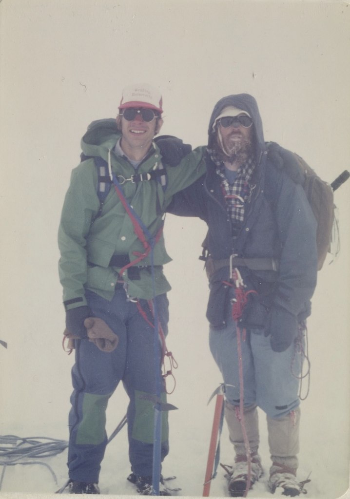
What follows is a photo trip report for my climb of Liberty Ridge with my friend Jason. We had perfect conditions, perfect weather, and a great climb together. Click the photos for descriptions.
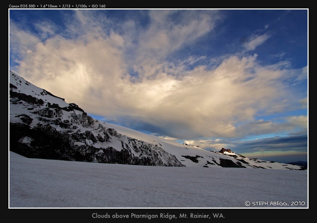
(Jason and I had so much fun on Liberty Ridge, that we climbed
Ptarmigan Ridge on Rainier the following weekend with our friend Steve. Ptarmigan Ridge is a close contender with Liberty Ridge for Rainier's "best" route. Click the link for this trip report!)
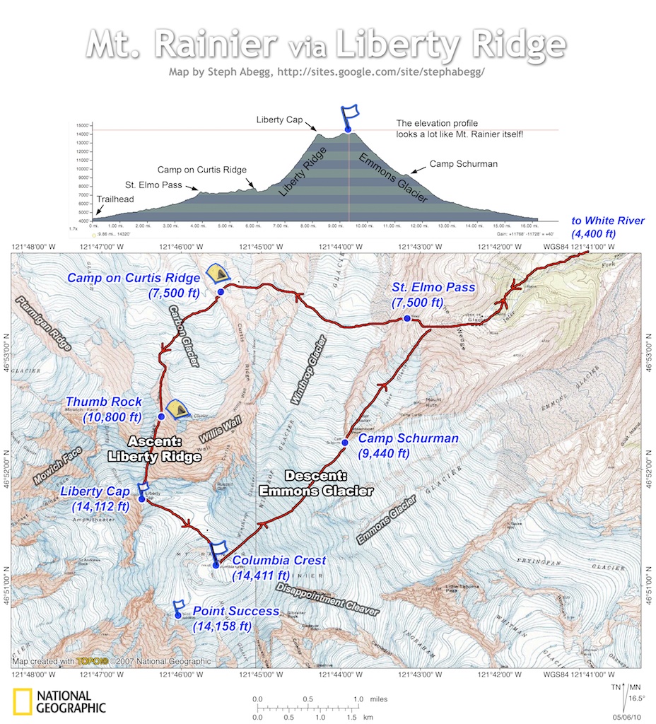
Day 1 - White River Campground (4,400 ft) to camp on lower Curtis Ridge (7,500 ft)
elevation gain: 3,100 feet
time: 5.5 hours
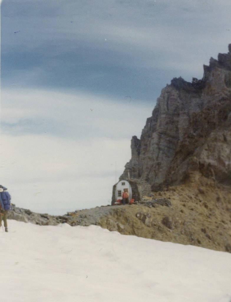
Photos from approach to camp on Curtis Ridge
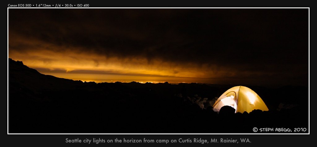
Photos from camp on Curtis Ridge
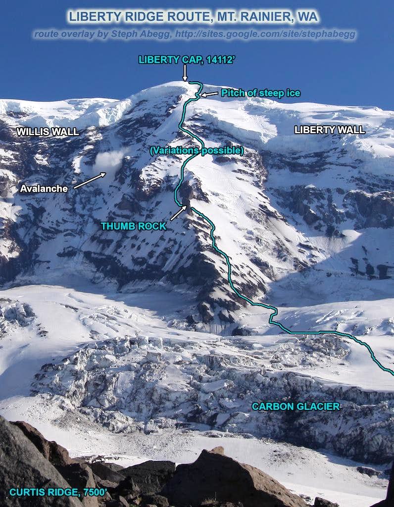
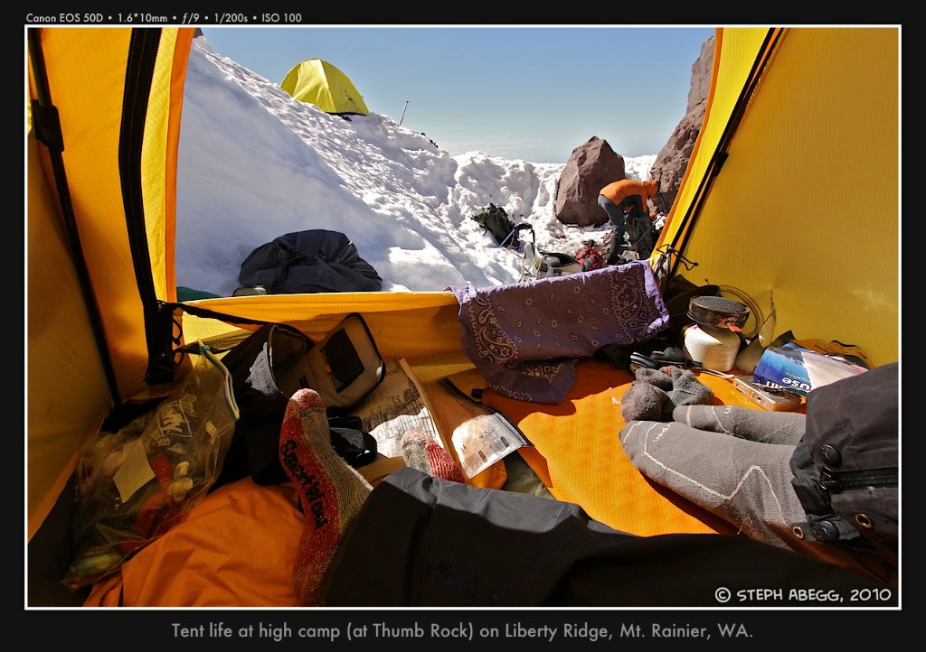
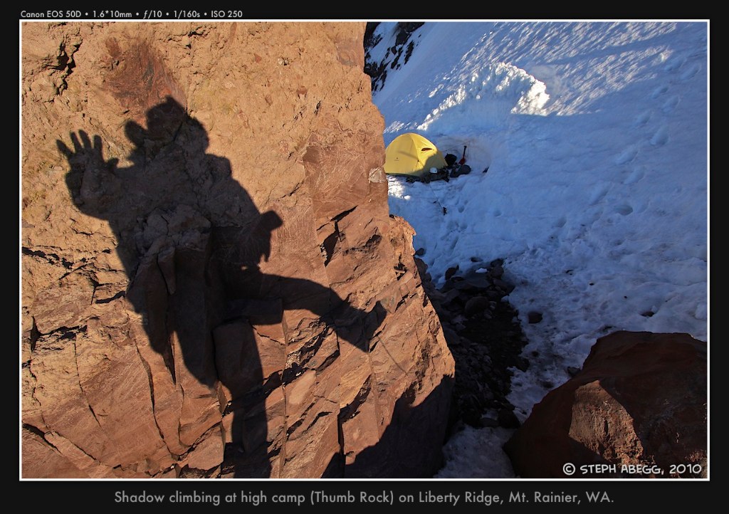
Day 2 - Lower Curtis Ridge (7,500 ft) to camp at Thumb Rock (10,800 ft)
elevation gain: 3,300 feet
time: 3.5 hours
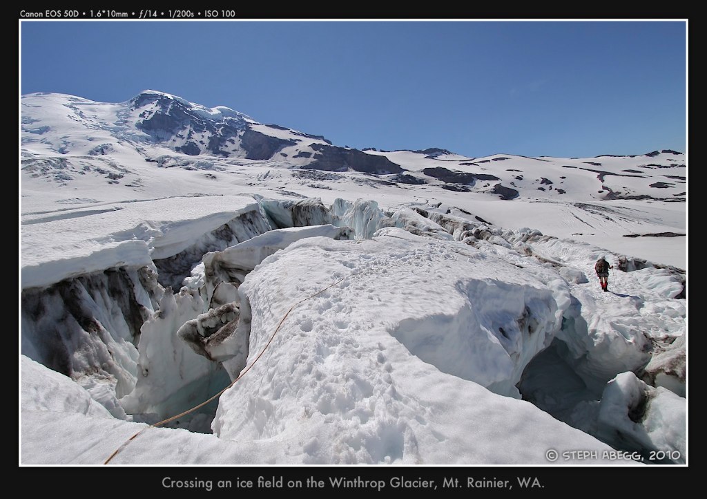
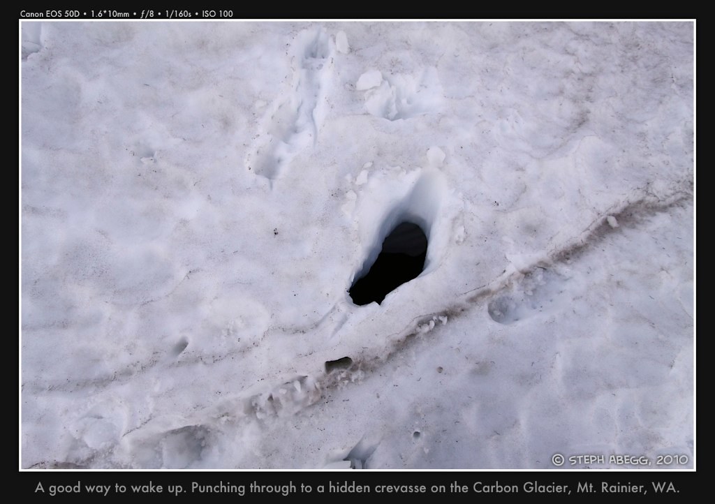
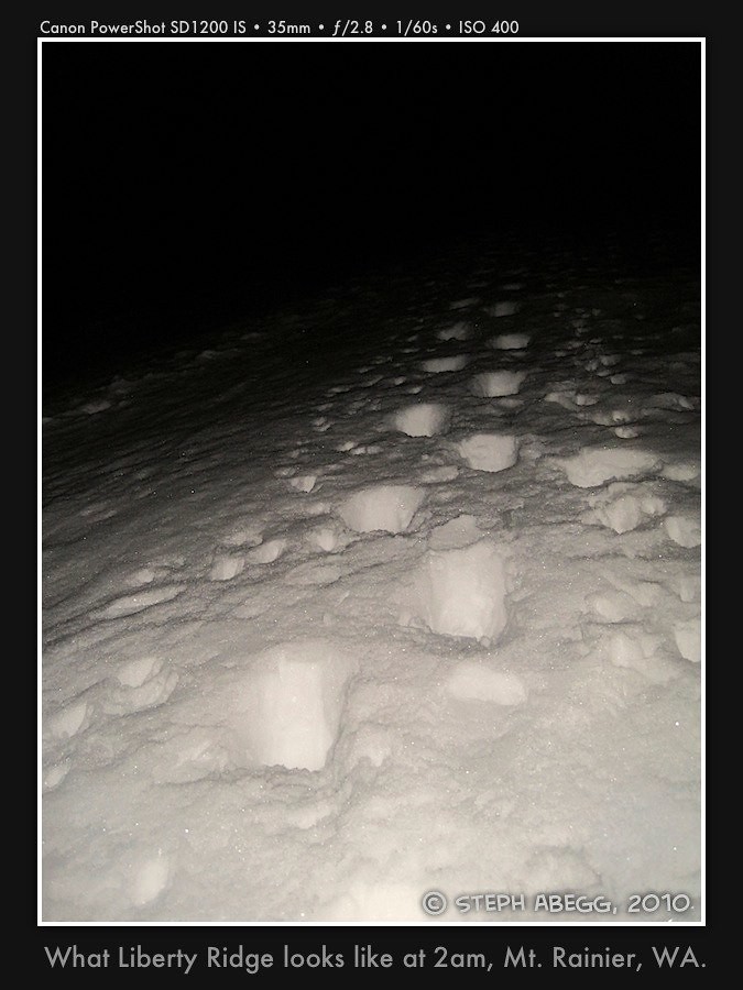
Photos from climb of lower Liberty Ridge
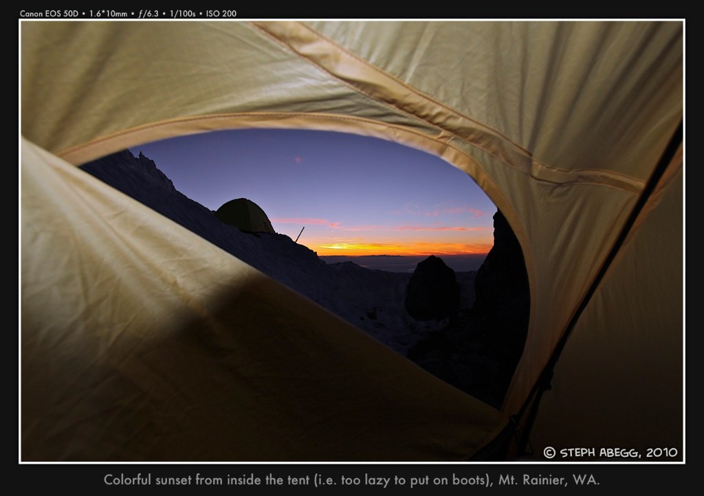
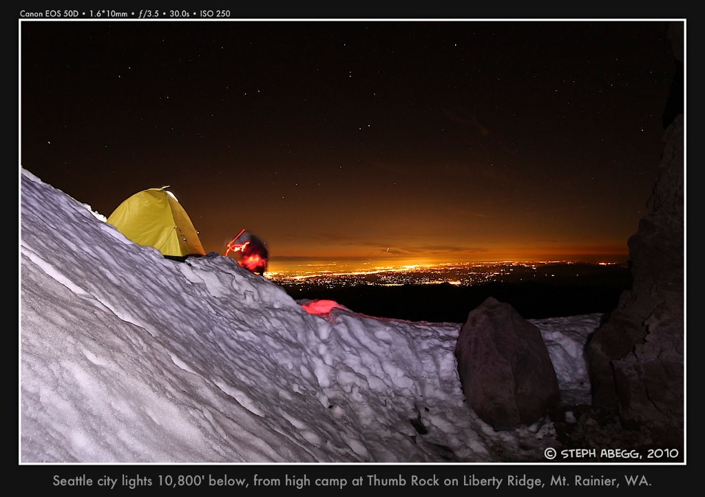
Photos from high camp at Thumb Rock
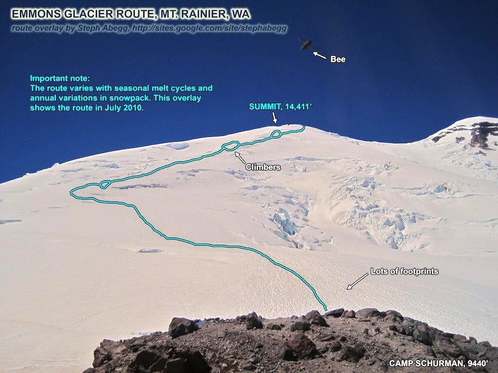
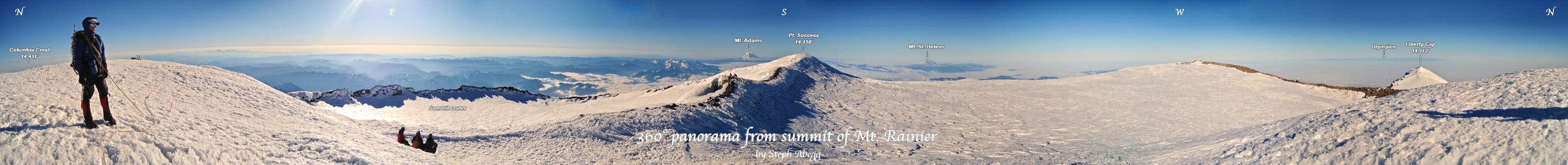
Day 3 - Thumb Rock (10,800 ft) to Liberty Cap (14,112 ft) to summit (14,411 ft) and descent of Emmons Glacier back to White River Campground (4,400 ft)
elevation gain: 3,600 feet
elevation loss: 10,000 feet
times: 5 hours from Thumb Rock to Liberty Cap, 1 hour from Liberty Cap to summit, 2 hours from summit to Camp Schurman, 2.5 hours from Camp Schurman to car
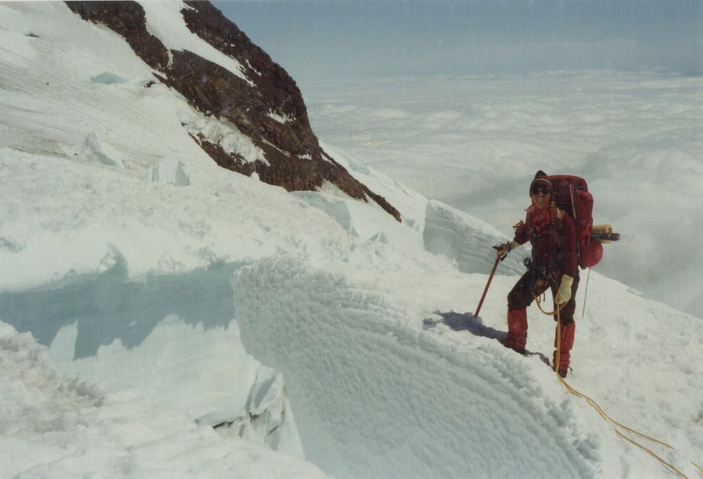
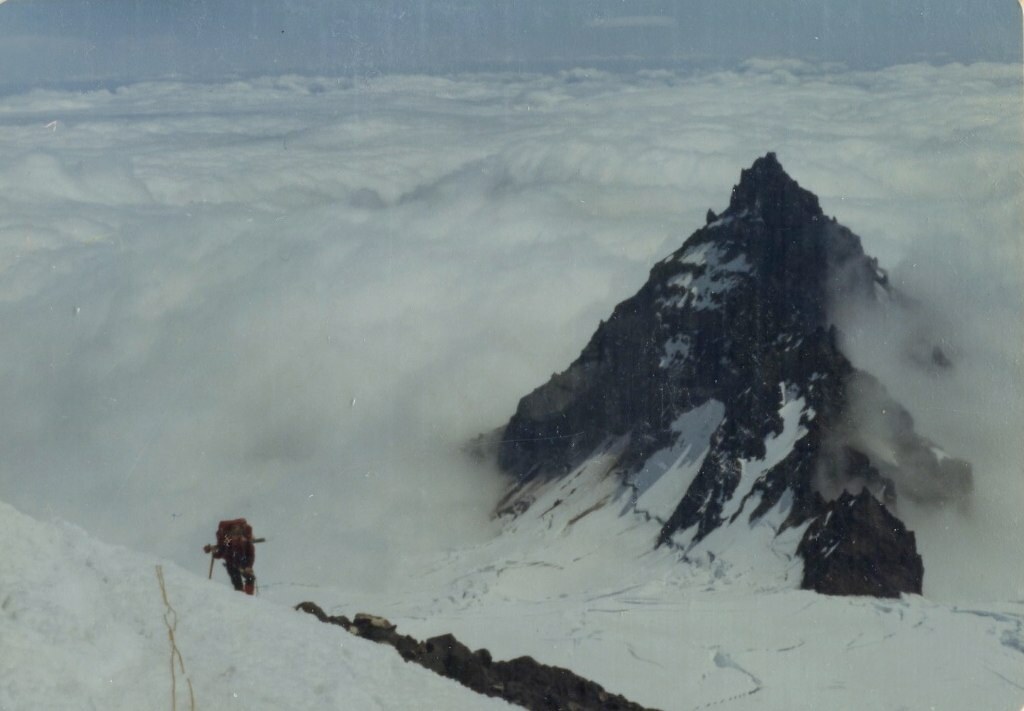
Photos from climb of upper Liberty Ridge
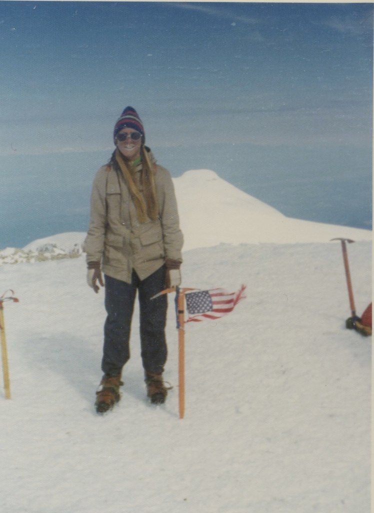
Photos from summit
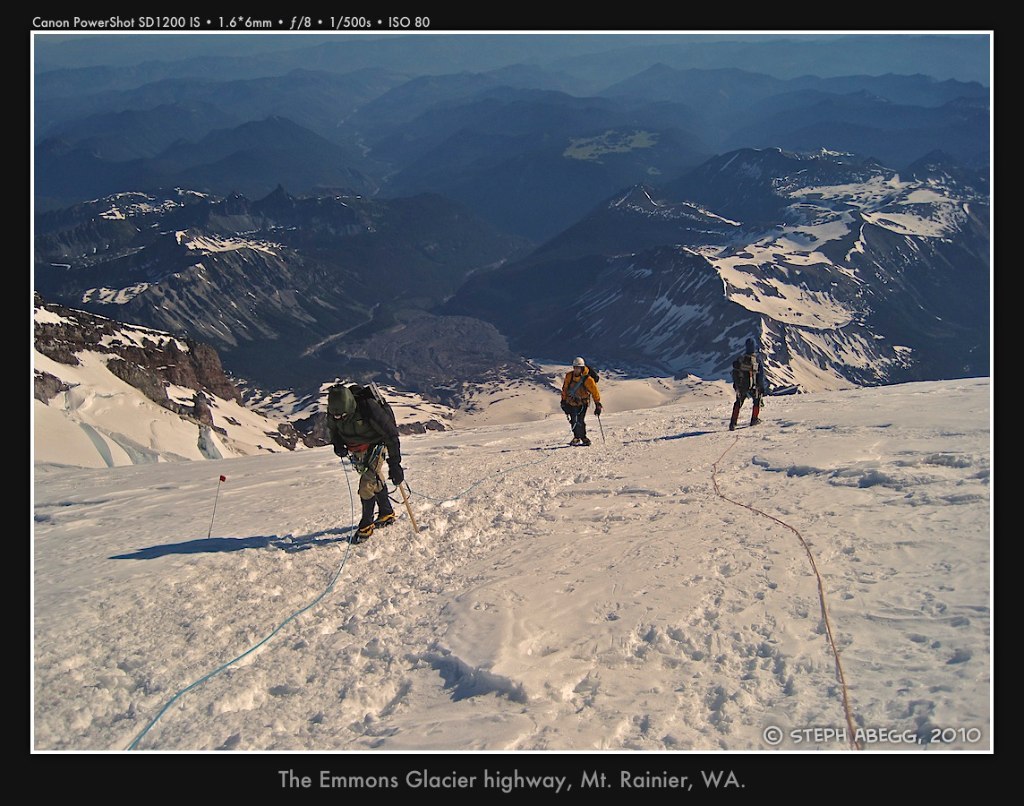
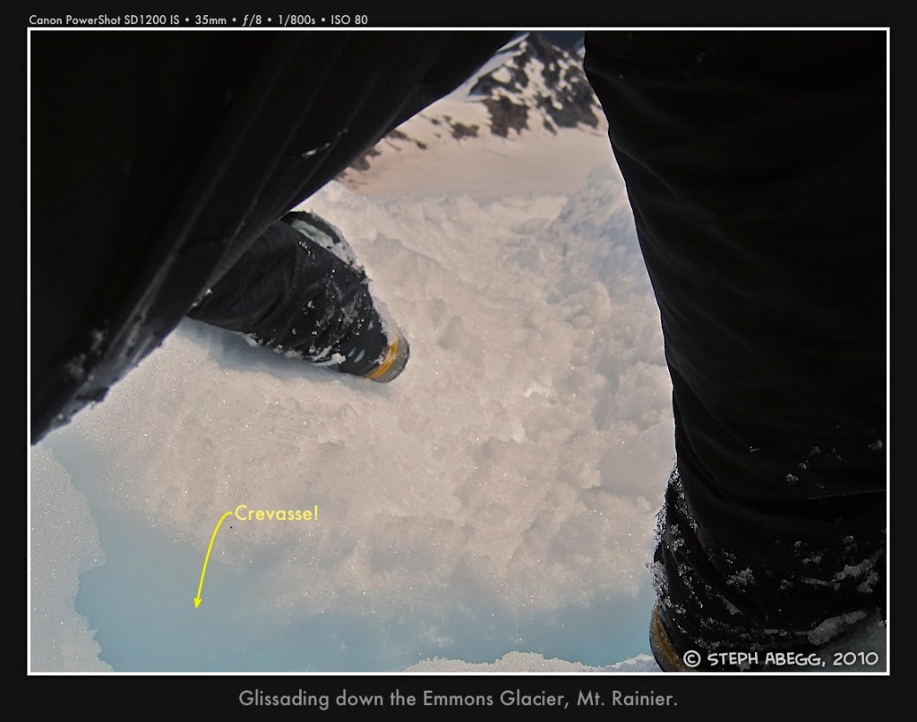
Photos from descent of Emmons Glacier