THIS TRIP REPORT IS STILL MOSTLY IN THE EMBEDDED HTML FORMAT OF MY OLD WEBSITE. MOBILE Tip: Try Landscape mode. It is generally more mobile friendly.
INTRO
Washington was experiencing one of its winter high pressure systems bringing with it sunny skies, calm air, and mild temperatures. Fortunately, the high pressure system bridged a weekend, so I joined my friends Matt and Carla from Seattle on a climb to the top of Revolution Peak. Revolution Peak is just outside North Bend, above the Middle Fork Snoqualmie River and quite visible from I-90. Revolution is a full day adventure during the winter involving hiking, snowshoeing, and maybe even some scrambling. The trip covers a large distance and gains lots of altitude, a good full day objective, especially for the short winter days of Washington.
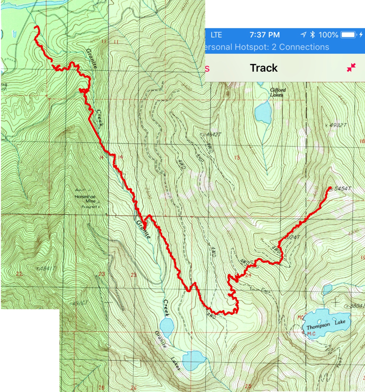
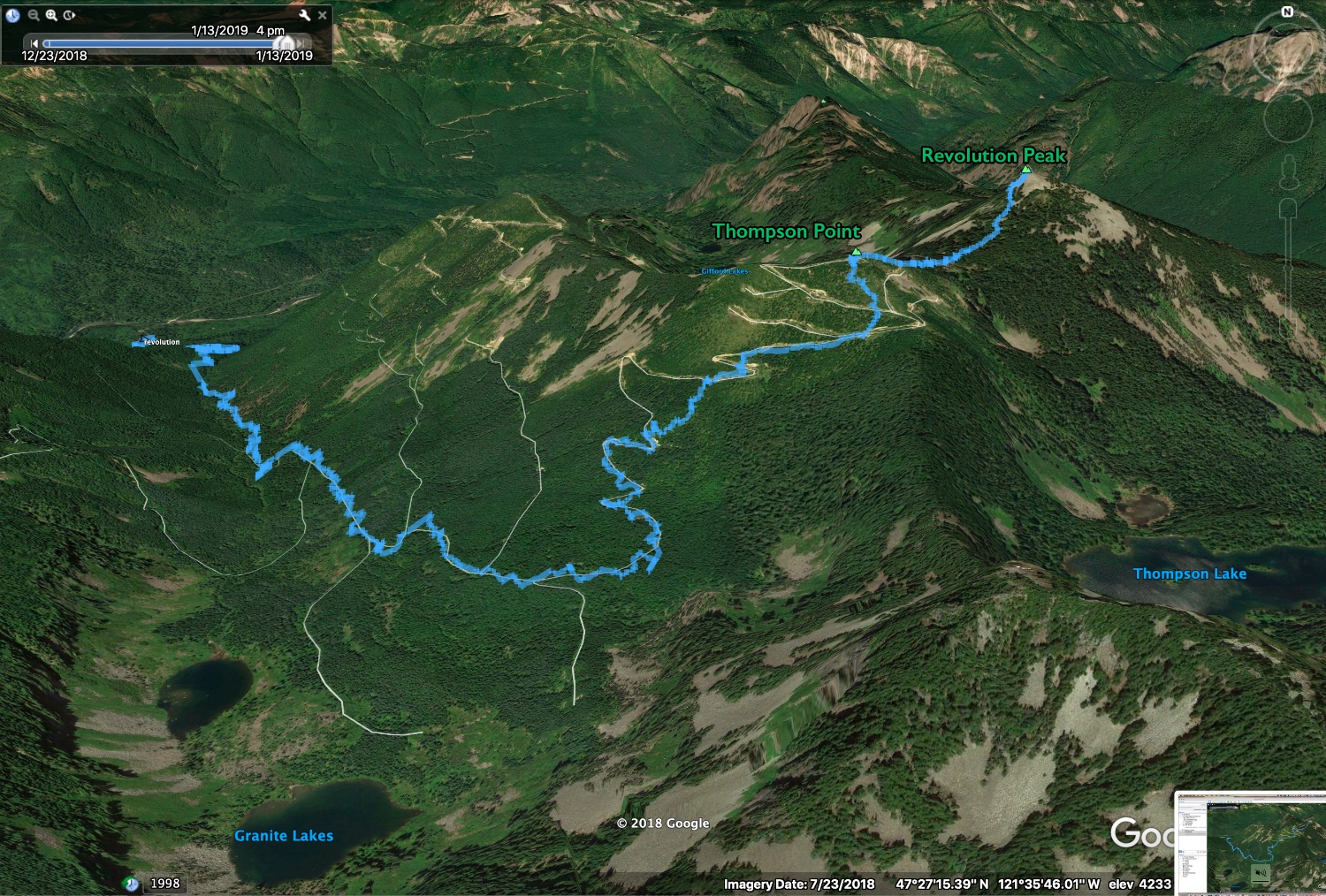
We left the Granite Creek trailhead (900 ft) at 8:15am, and for the first hour enjoyed a parklike hike up the new trail. At around 3,500 feet, there was enough snow on the trail to put on snowshoes (it had been a pretty meager snow year, so I suspect the snow would usually be further down in January). The meager snow made for quick travel, and we made good time to Thompson Point (5,124 ft). From here, it was 55 more minutes along a narrow ridge to the summit of Revolution Peak (5,454 ft), involving one steep section that looked more intimidating than it actually was. We snapped a few summit photos and then headed down. It was already almost 1 pm and wanted to get out before dark. The hike out went quick, and we reached the car around 4 pm, and were already nearing Seattle before darkness settled in.
Carla had already been to the top of Revolution, in June 2012. To see spring conditions on Revolution, here's Carla's June 2012 photoset.
I was disappointed to discover that the cabin was no longer standing at Thompson Point. I don't know much about the history of the cabin (i.e. when it was built, who owned it, what it was used for, etc.) but there's a few photos of it on this nwhikers trip report from March 2018. I wondered why it was torn down, so I did a bit of online digging and came across the following information, written by a user named puzzlr (who I know as Monty) in the comments on a December 2018 trip report on nwhikers.com (this trip report has much more wintery conditions than we had): "The cabin was removed by the DNR on October 24, 2018. The property was purchased by Forterra in 2016 and then transferred to the DNR. Per a conversation with the local DNR office there are regulations about structures inside NRCA boundaries and keeping the cabin wasn't an option. They got an estimate for hauling it all out but that was too expensive and they aren't allowed to burn structures on this category of property. During interactions about the Fairy Cabin they learned the FBI was willing to practice their bunker busting techniques and blow up the cabin. After the explosion tons of debris was hauled down via helicopters and taken to the dump by Wade Holden's Friends Of The Trail group."
The following page gives a short trip report for our adventure.
STATS
Total trip (from GPS track): ~16.7 miles (seems a bit on the high side), ~4,600 ft gain/loss
Total time: 7 hours 45 minutes (car to car time, includes breaks)
Car to Thompson Point (5,124 ft): 3.5 hours
Thompson Point (5,124 ft) to Revolution Peak (5,454 ft): 55 minutes
On summit: 5 minutes
Revolution to car: 3 hours 15 minutes
PHOTOS
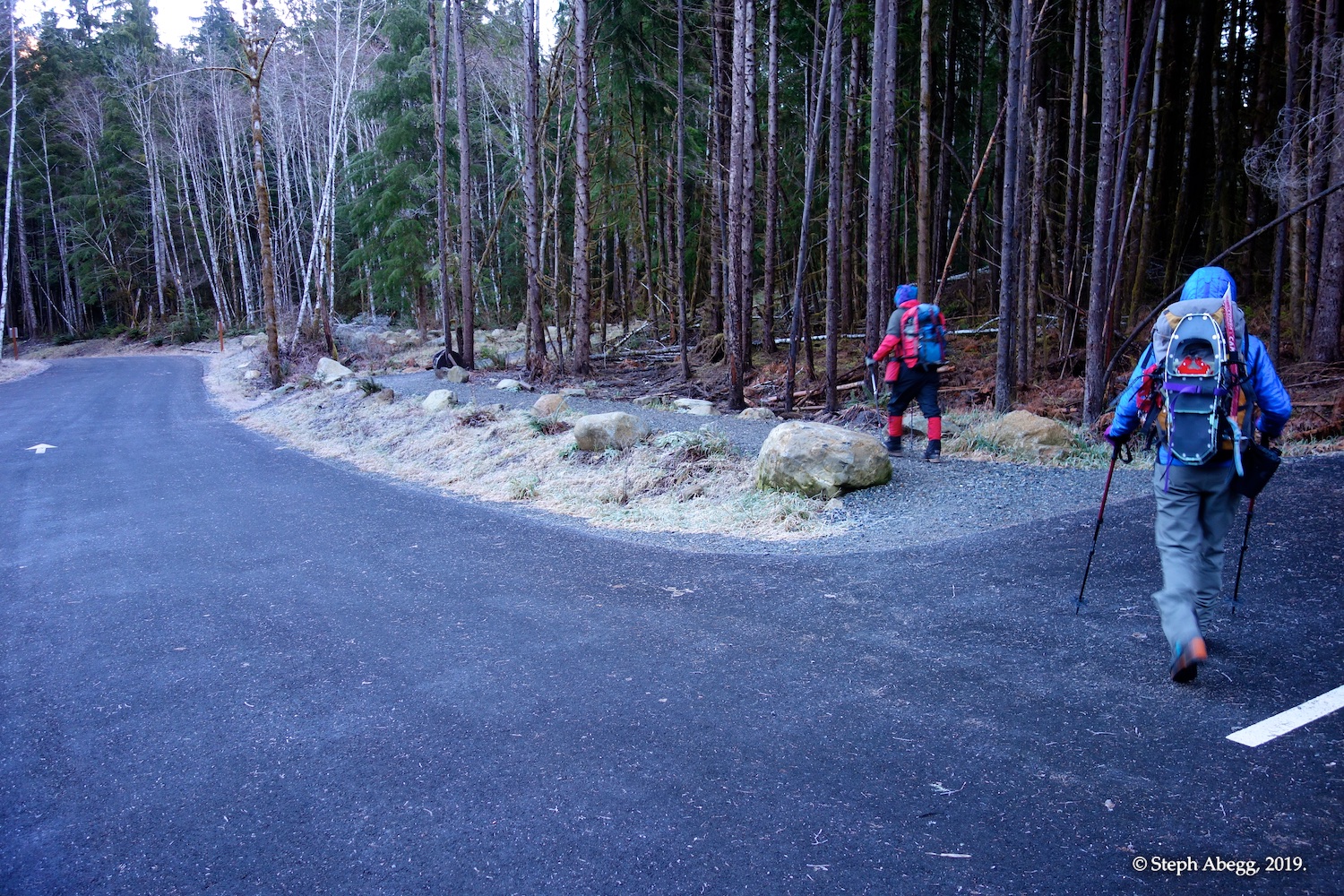
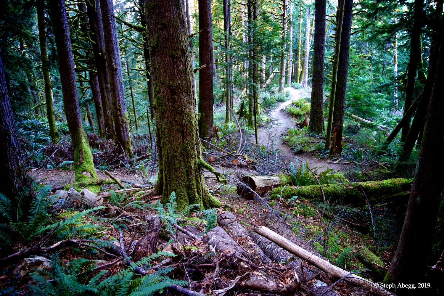
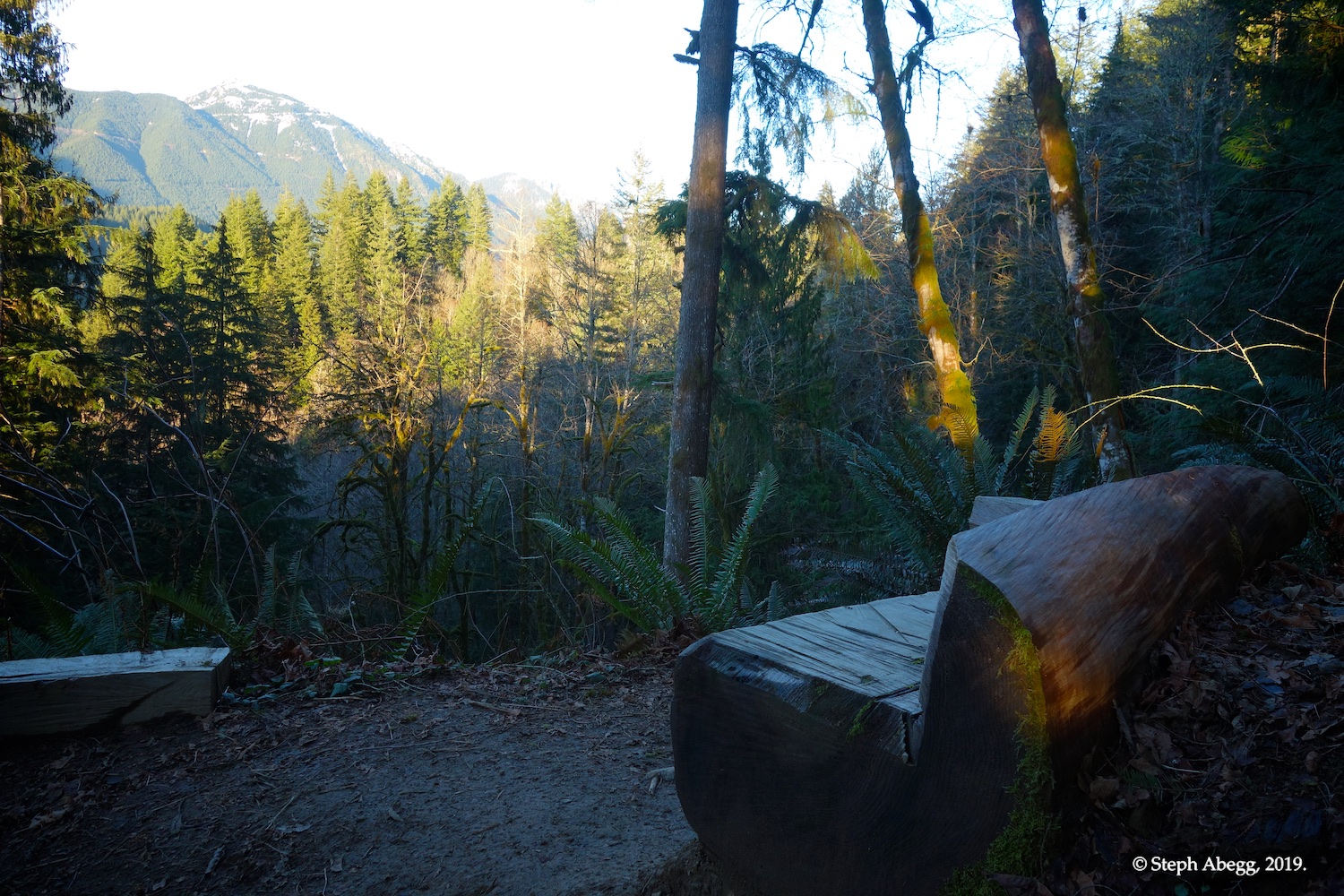
Starting the hike at the Granite Creek trailhead. I think the first few miles of trail is new. It was a very pleasant parklike hike through beautiful forest with towering trees.
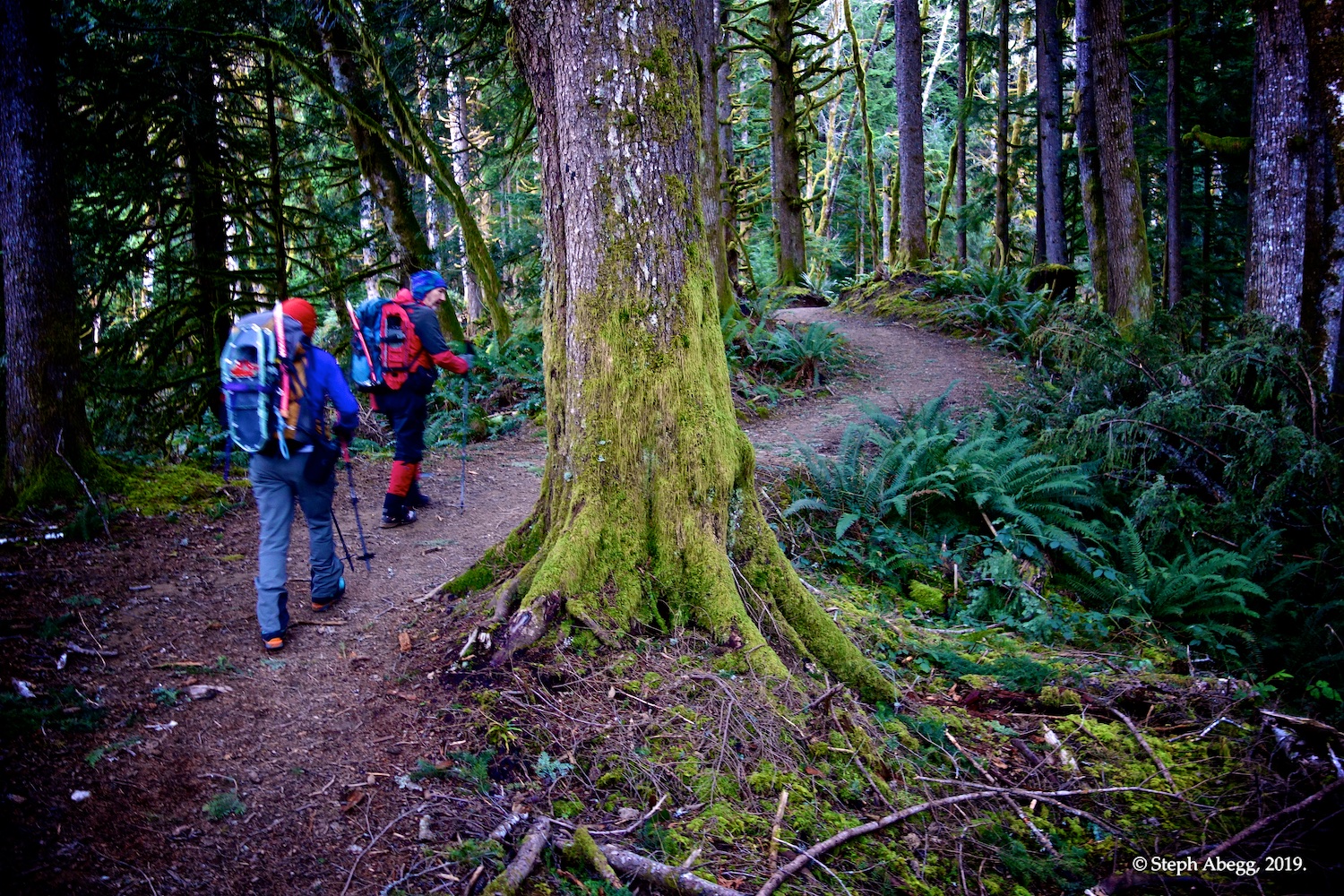
Enjoying the parkline hike through beautiful forest with towering trees.
At a trail junction. We took the Granite Lakes trail.
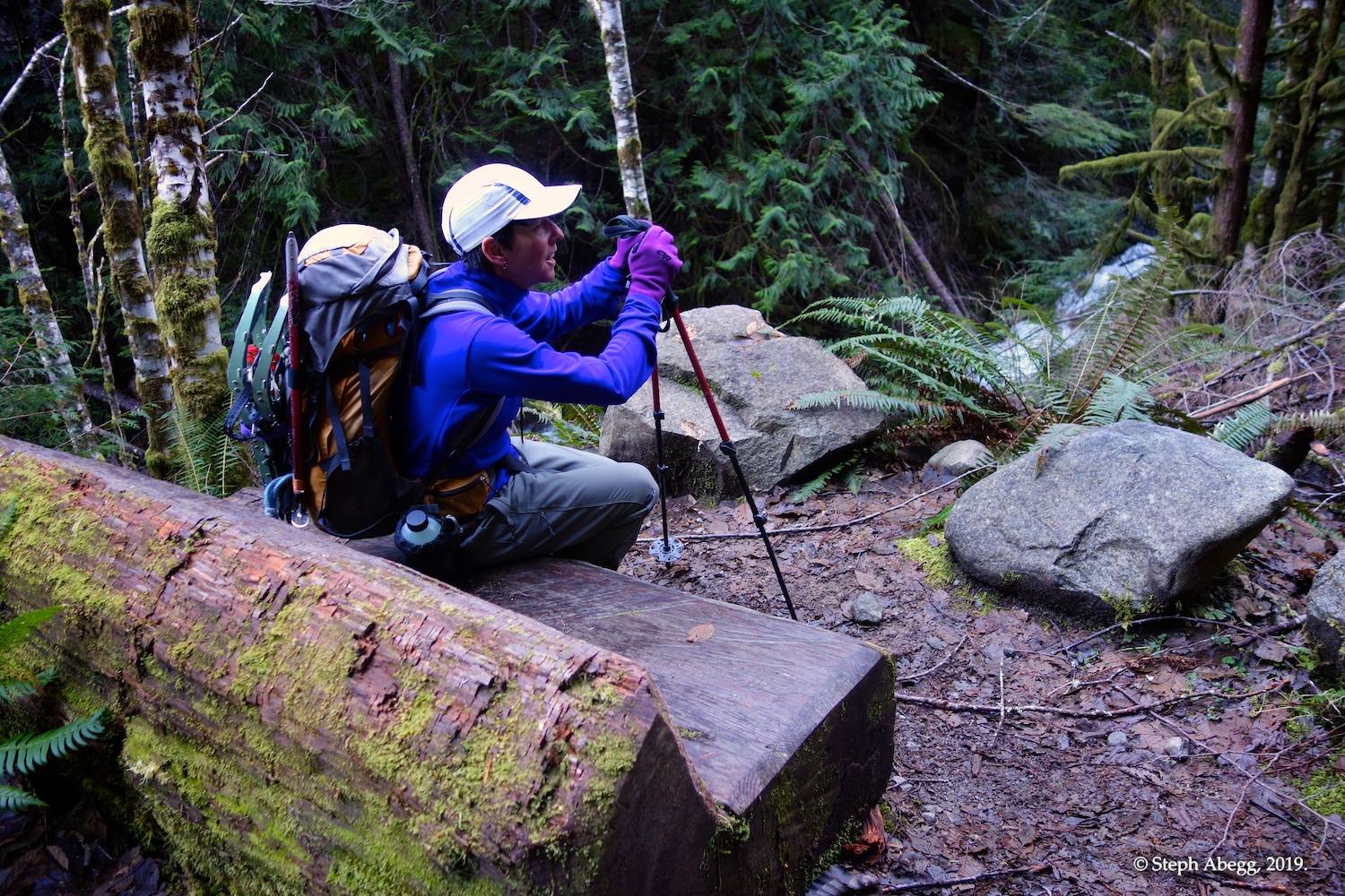
There are several nice benches on this hike.
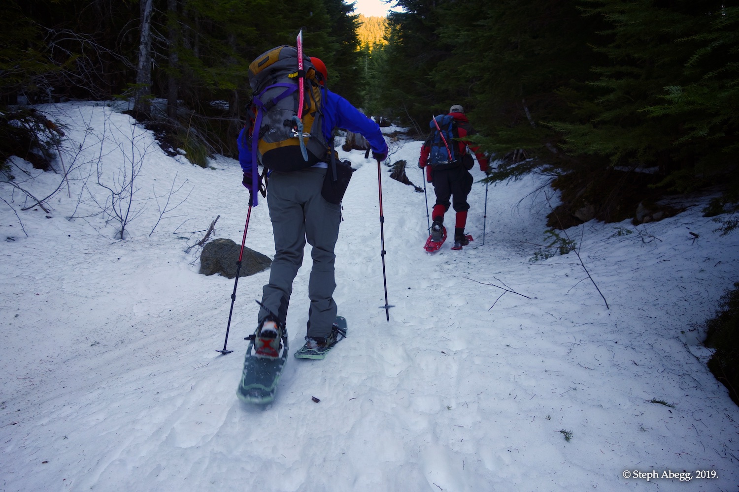
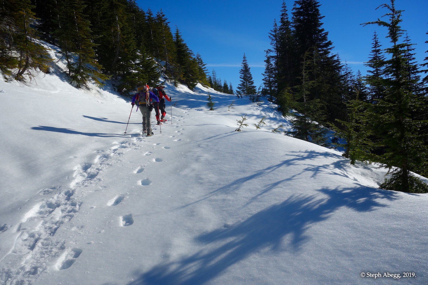
Around 3,500 ft or so, there was enough snow to put on snowshoes. The trail was fairly well tracked.
When the timber thinned a bit and the trail was on an old logging road, we began to head directly up the slope rather than follow the gentle switchbacking grade of the old logging road.
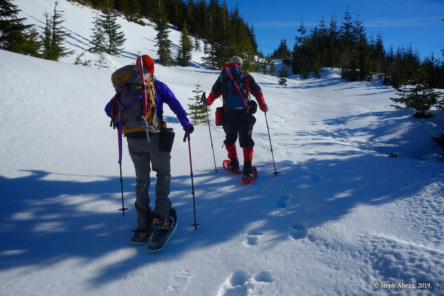
On the old logging road for a bit.
Just before cutting up and left to shortcut another switchback.
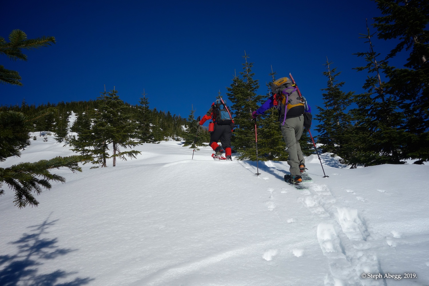
Heading up towards Thompson Point.
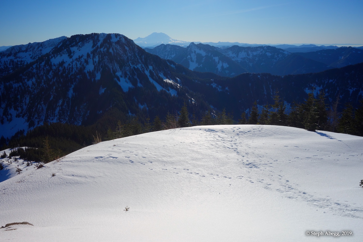
Thompson Point. Mt. Rainier in the distance.
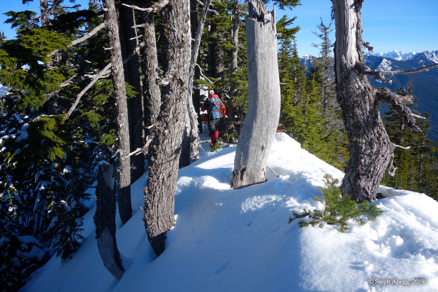
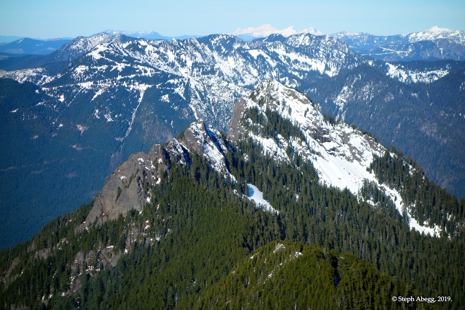
The narrow ridge between Thompson Point and Revolution.
The summit of Revolution, taken from the ridge about 1/3 of the way between Thompson Point and Revolution.
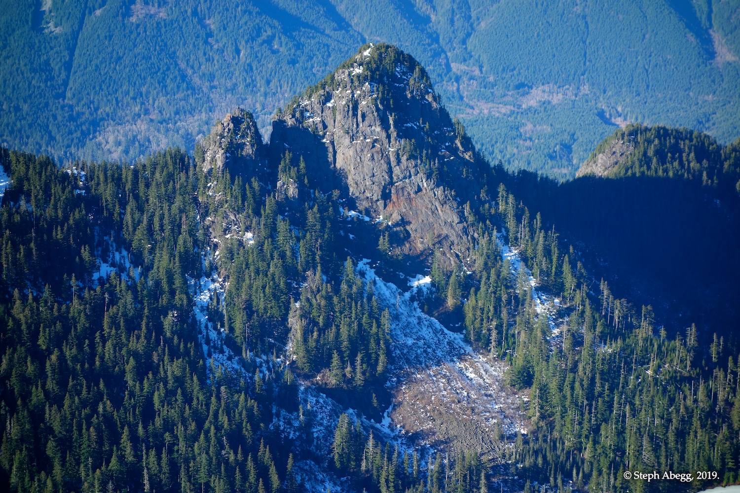
There was just a short steep section on the ridge between Thompson Point and Revolution. From above, it looked a bit sketchy, but once we tried to go down, it wasn't too bad.
Looking up at the top of Revolution.
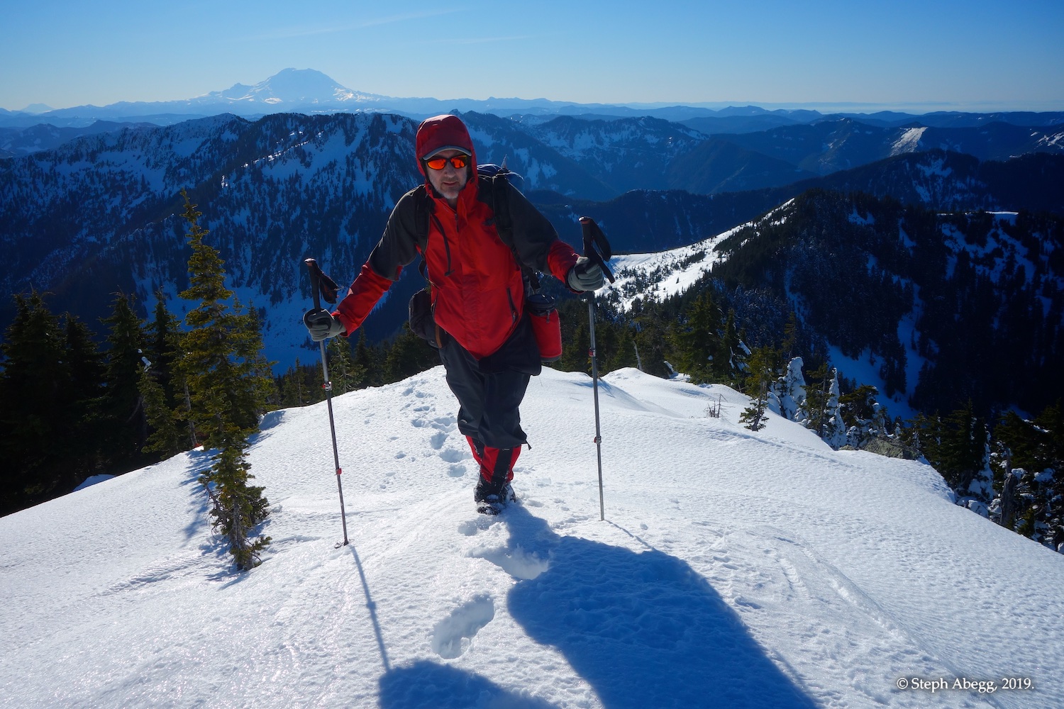
Matt reaching the summit. Mt. Rainier in the distance.
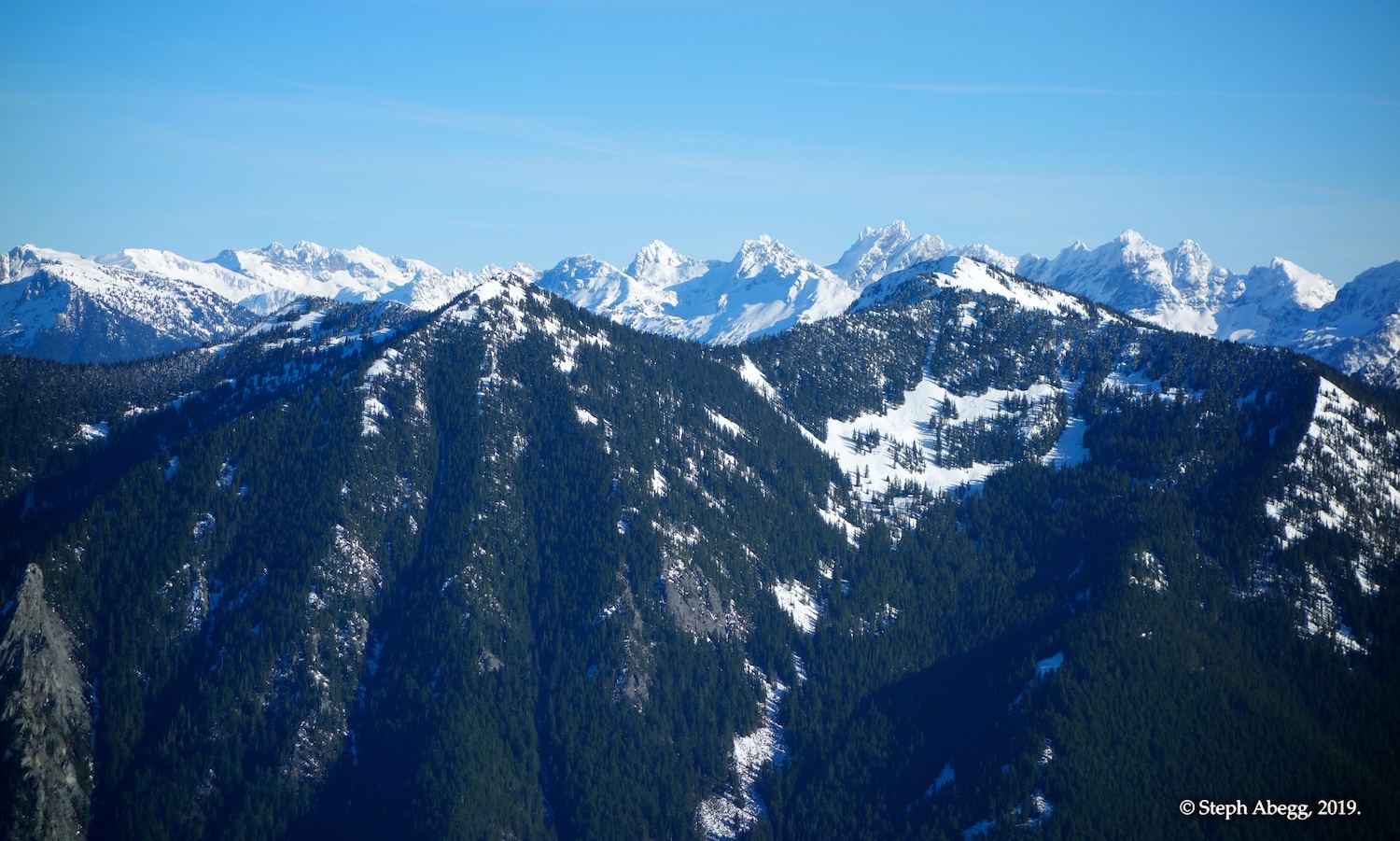
Summit photo. Russian Butte is in the foreground, and in the distance are the North Cascades to the north.
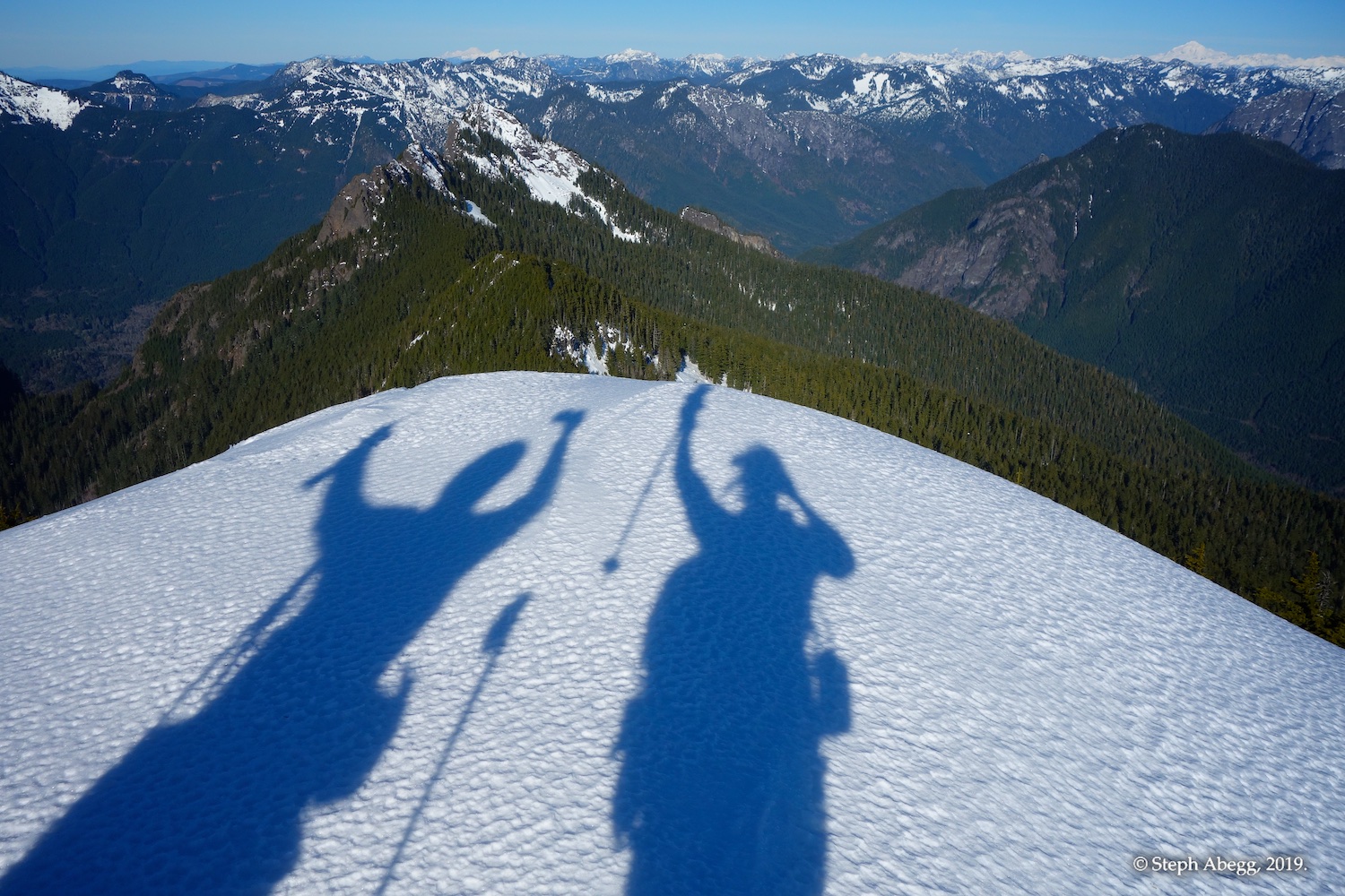
Matt and I on the summit of Revolution. This photo was taken by our friends Lindsay and Gabriel on Mailbox Peak.
View to the west. You can see Seattle in the distance and the Olympics beyond that.
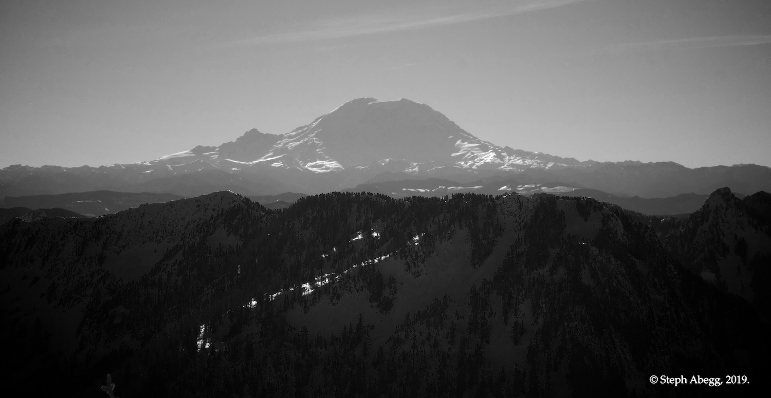
Mt. Rainier to the south.
Cascades to the north and east. In this photo you can see Hinman, Daniel, Overcoat, Chimney, and Lemah.
Russian Butte to the north. In the far distance you can see Mount Baker. It doesn't look too wintery out there to me.
Little Comrade to the northwest.
The pretty parklike trail.
Another bench.
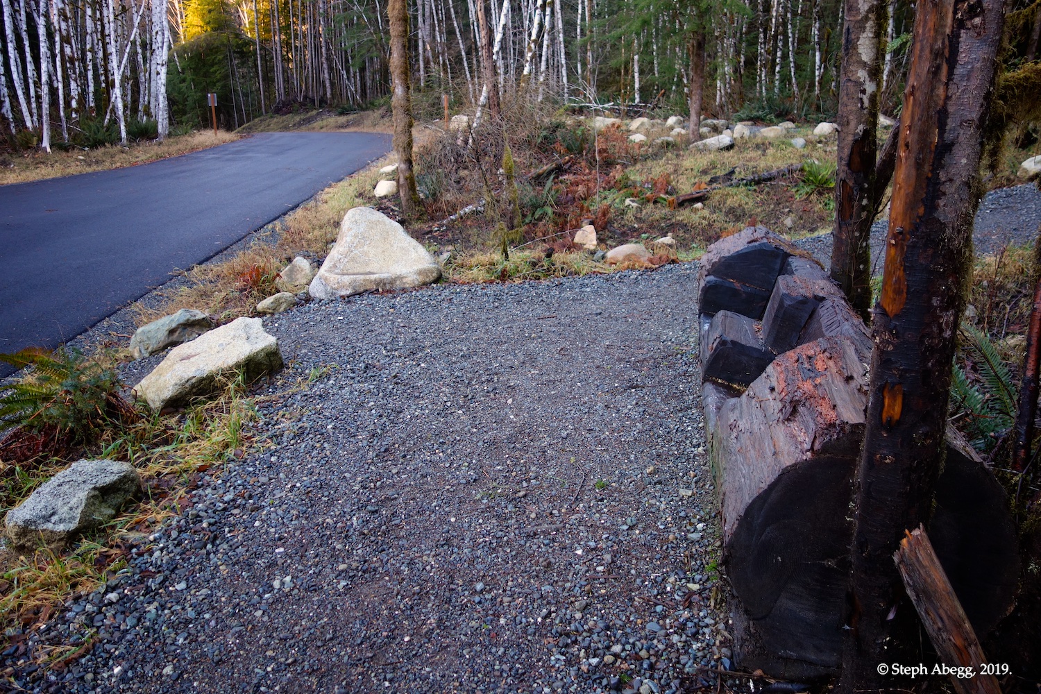
There's even a bench at the start of the trail for those who need one final rest stop before reaching the car.
Useful beta. Updated route information. Corrections. Historical notes. Interesting facts. No fluff please. Please do not put links in your comment, as my spam filter will filter those comments out.