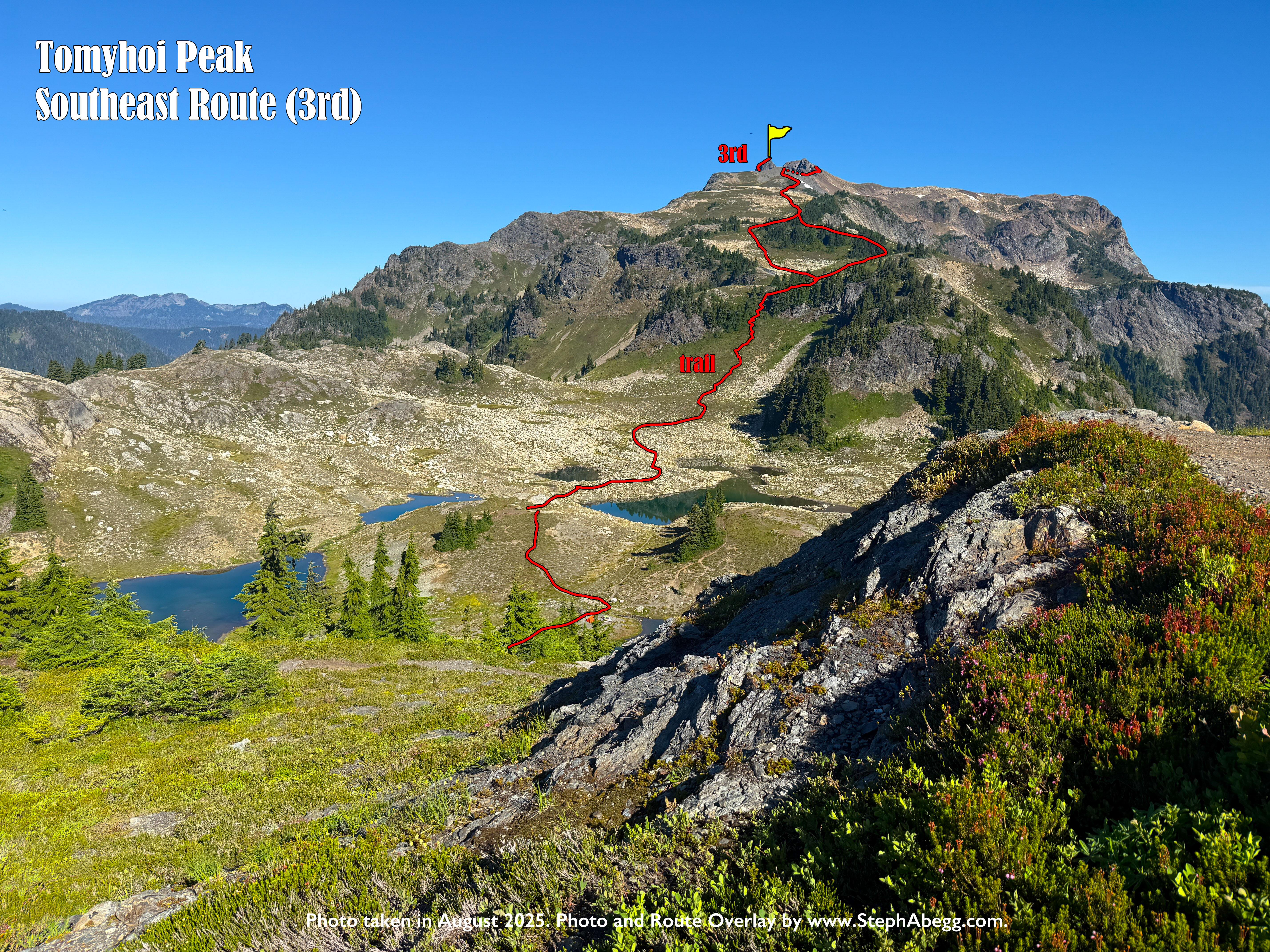
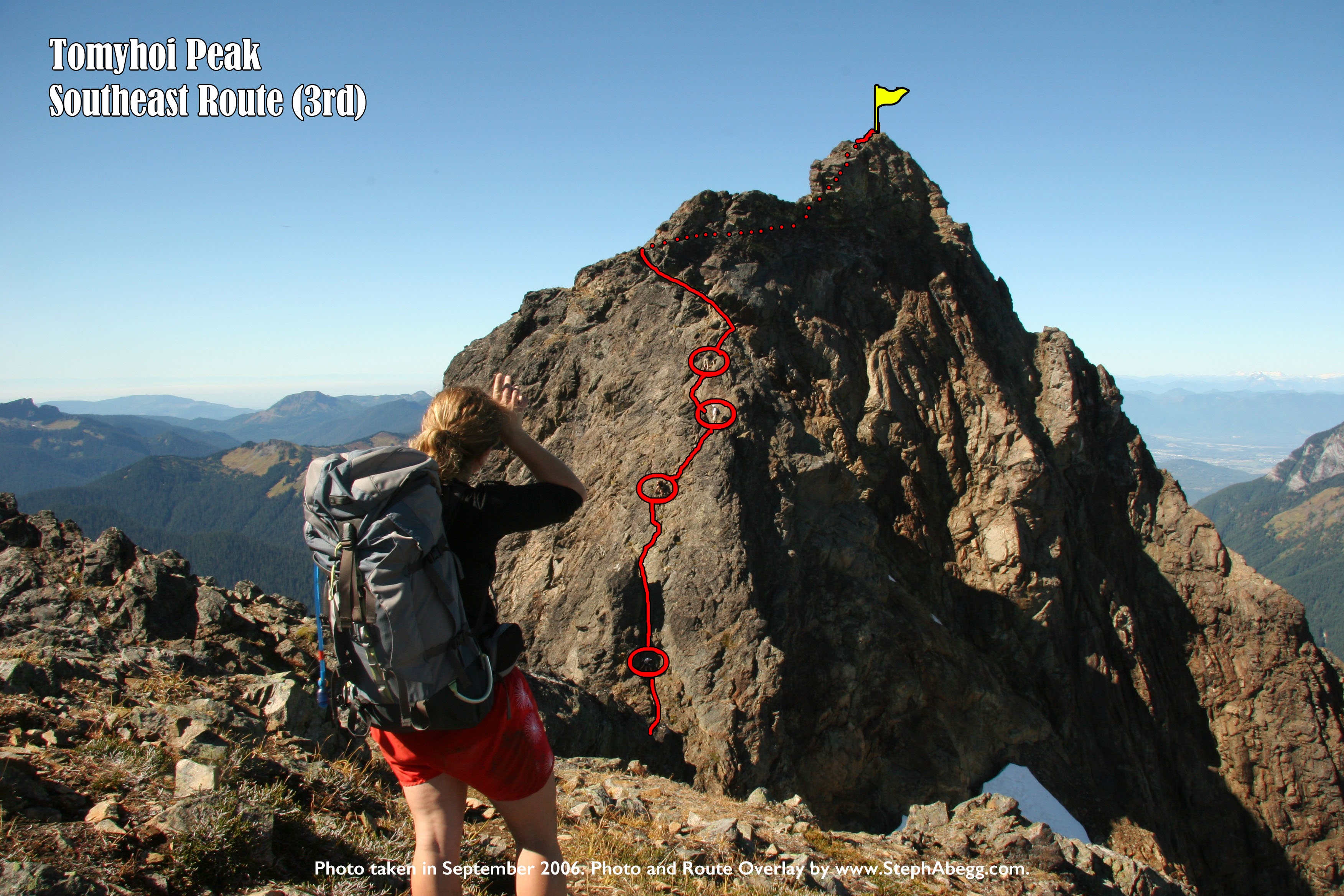
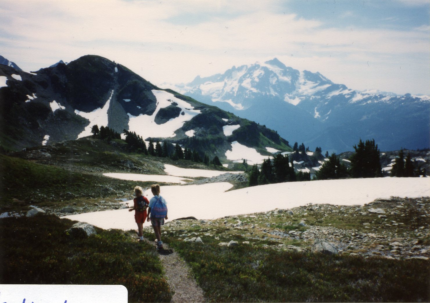
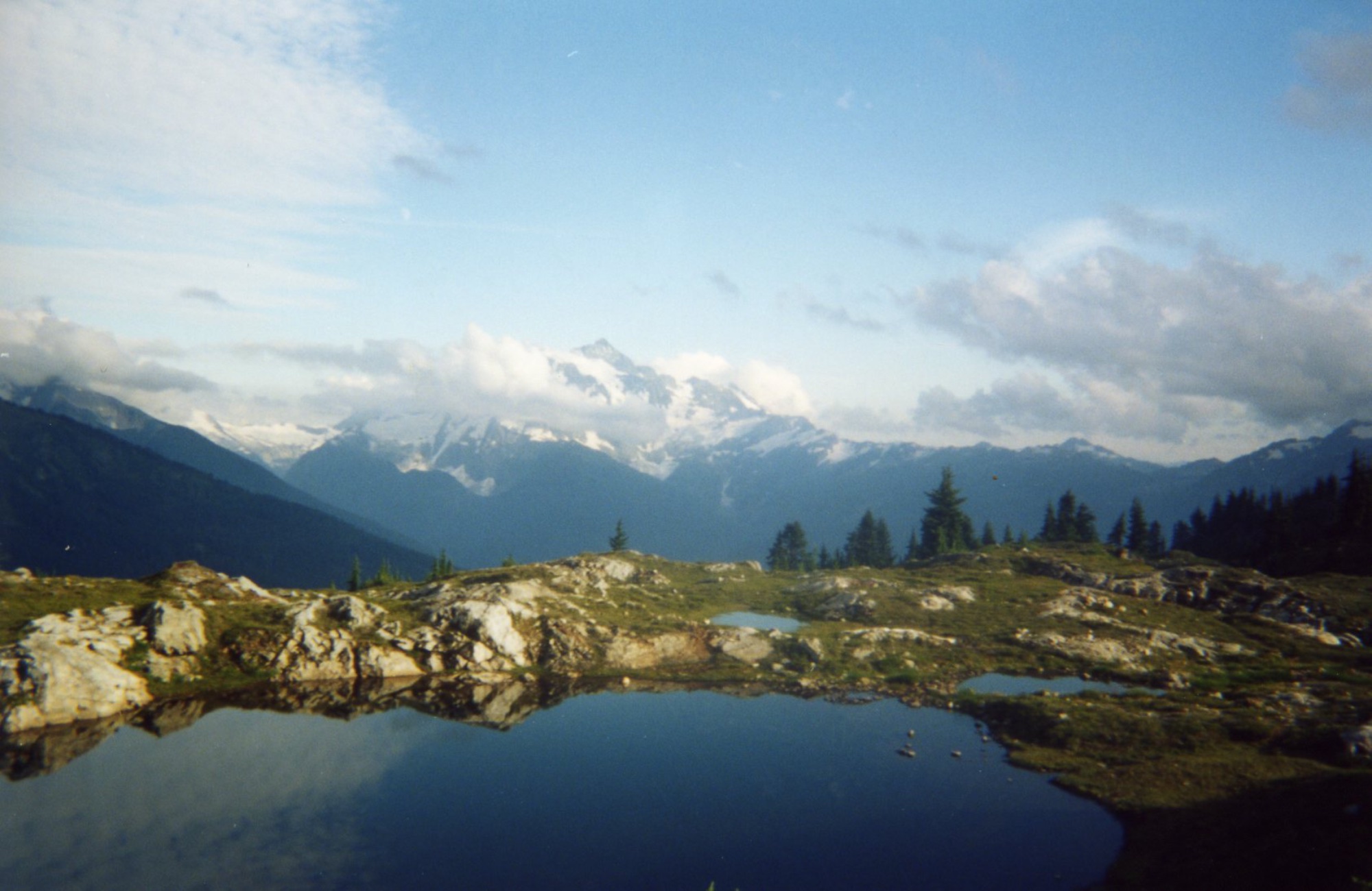
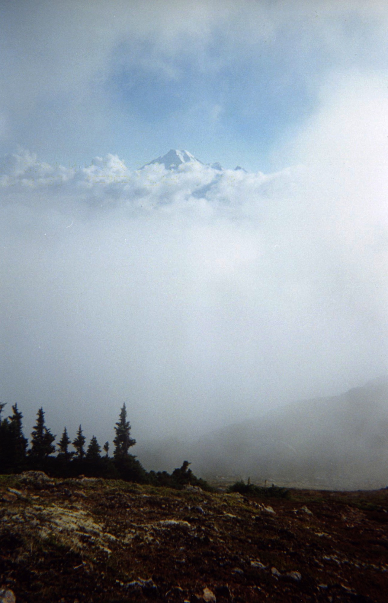
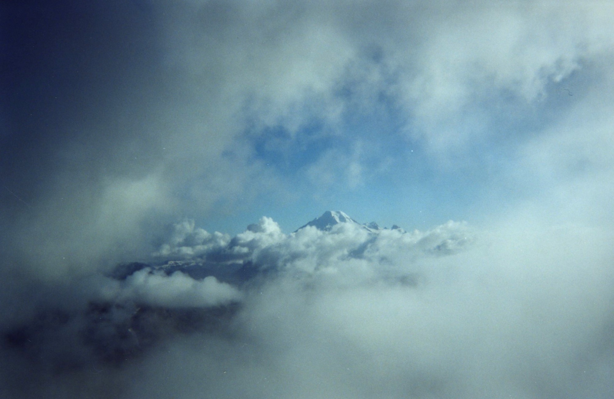
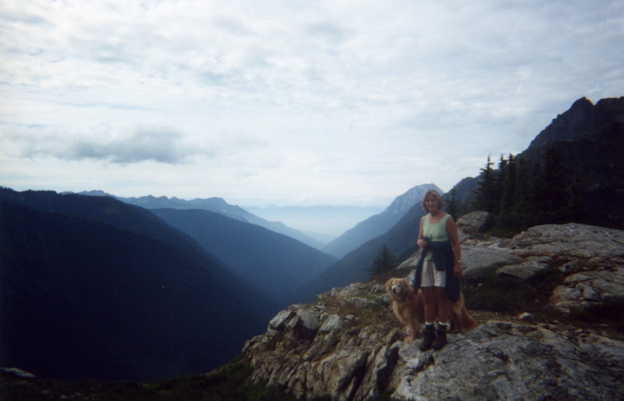
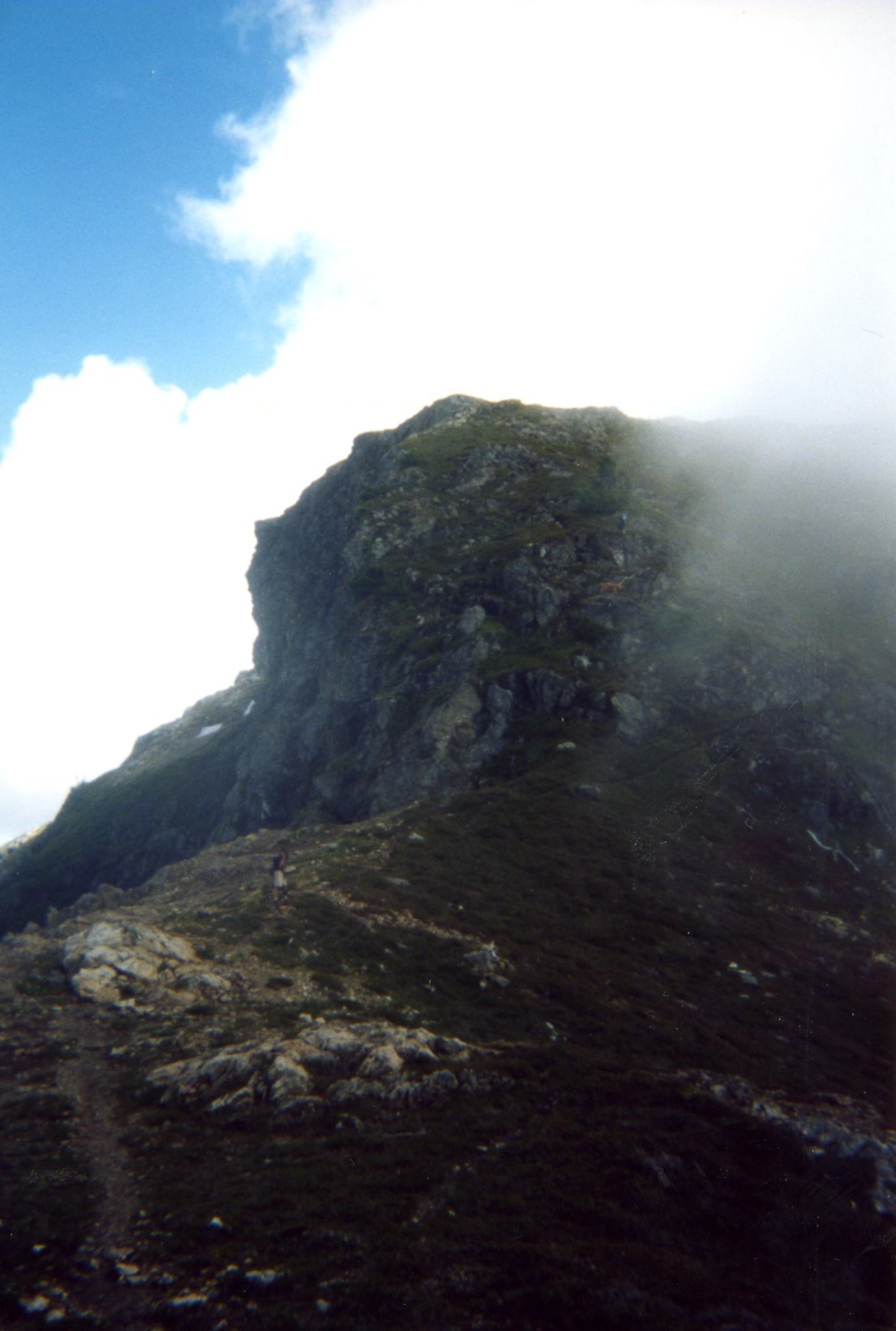
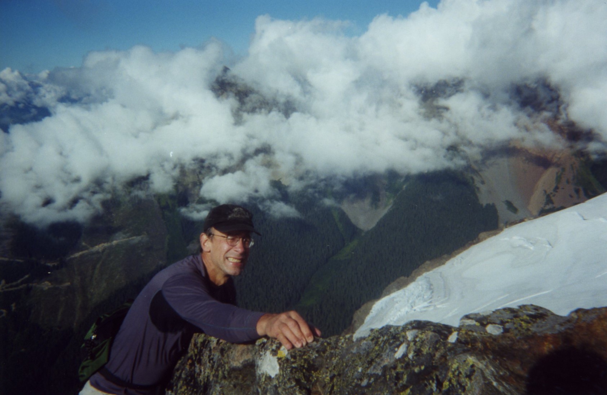
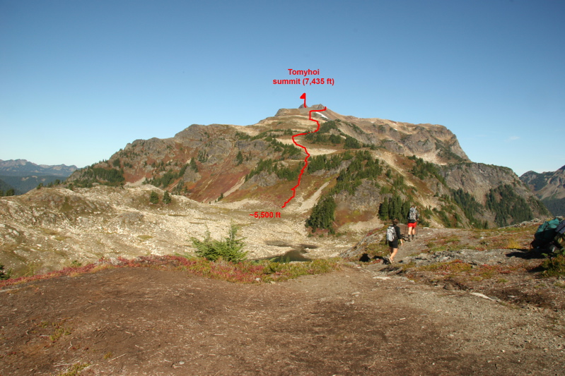
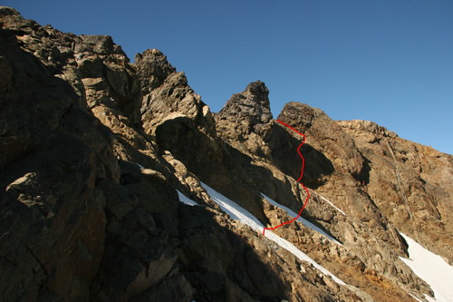
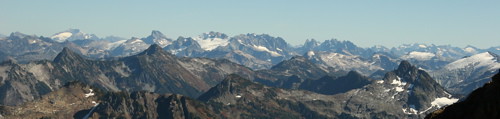
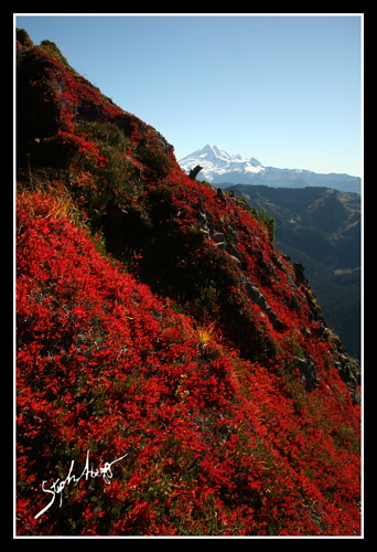
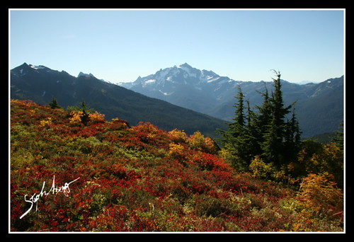
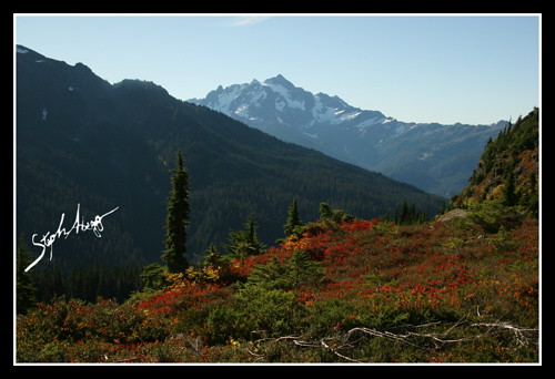
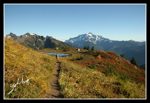
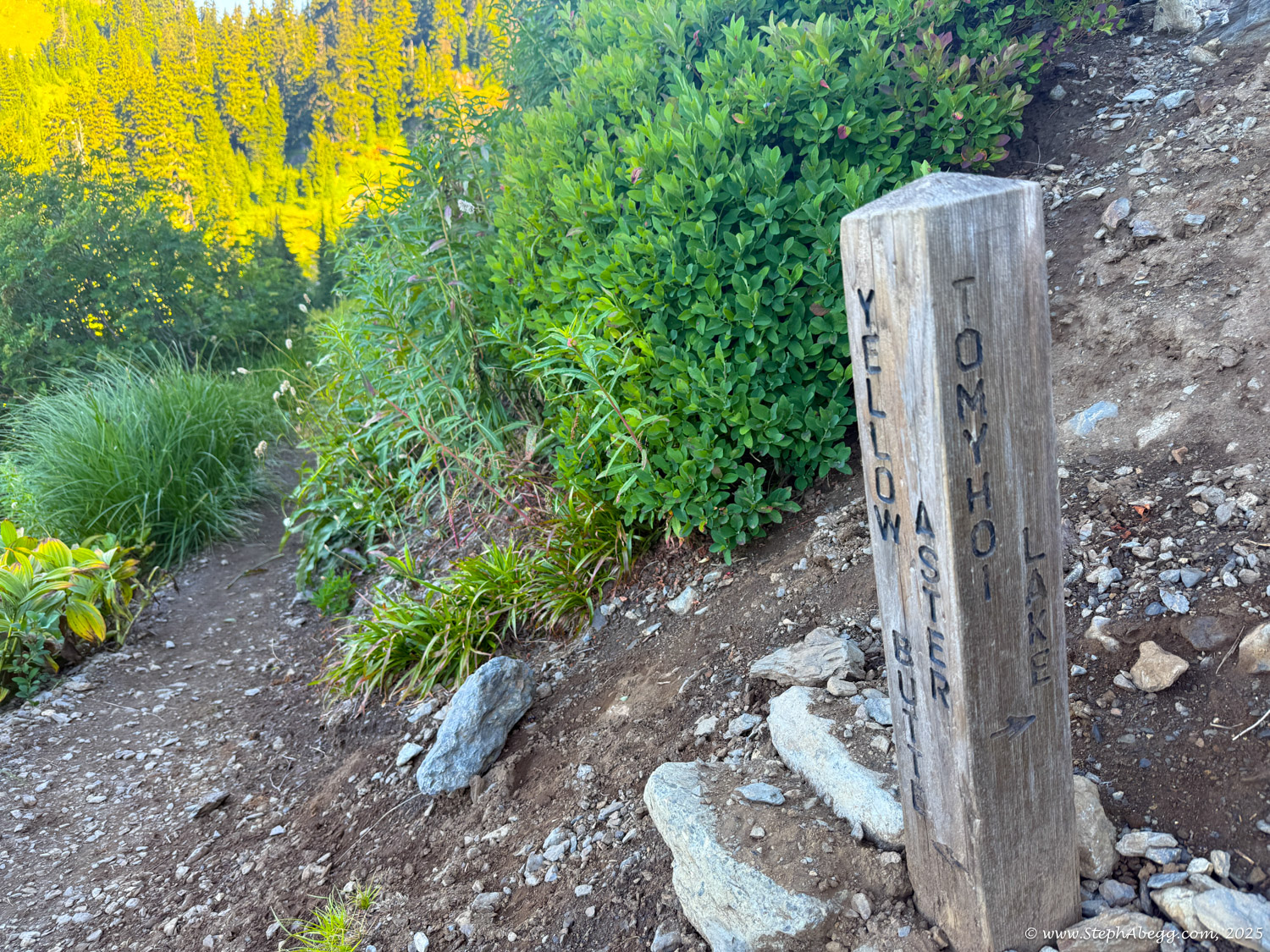
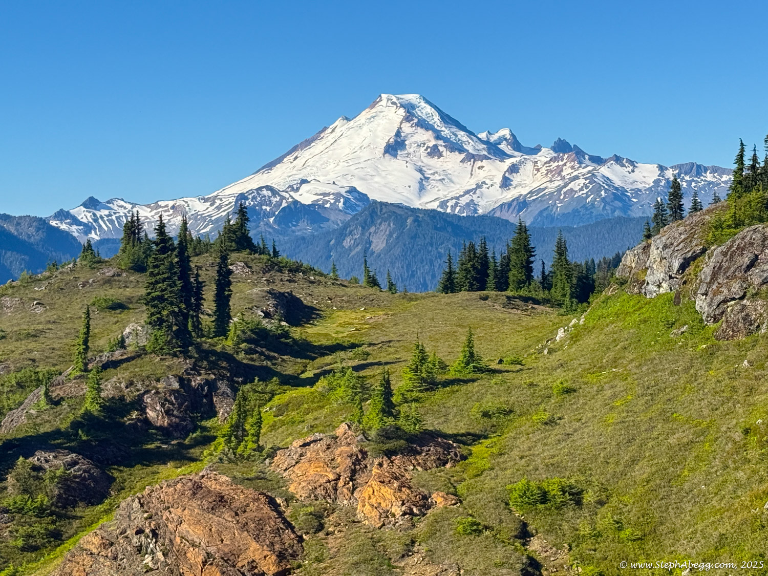
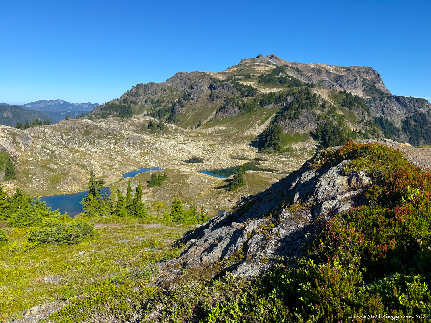
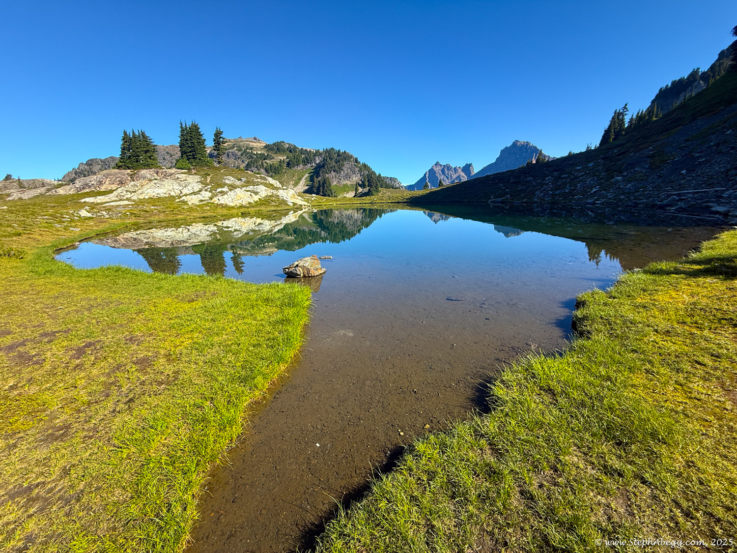
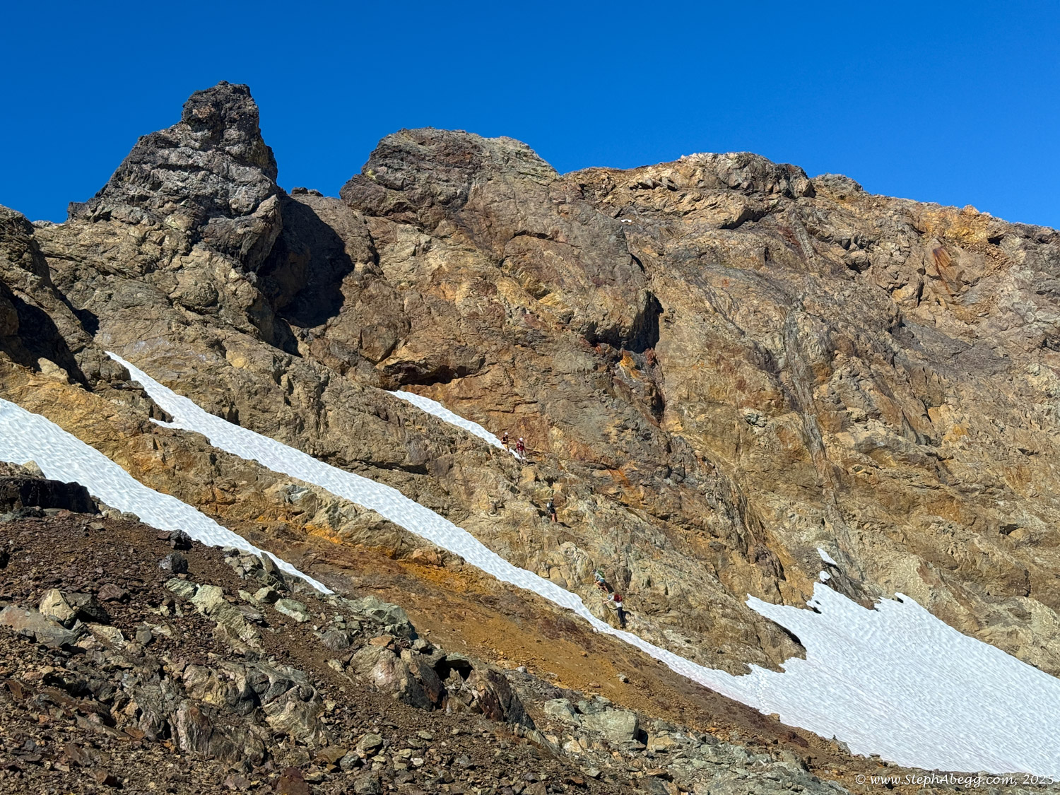
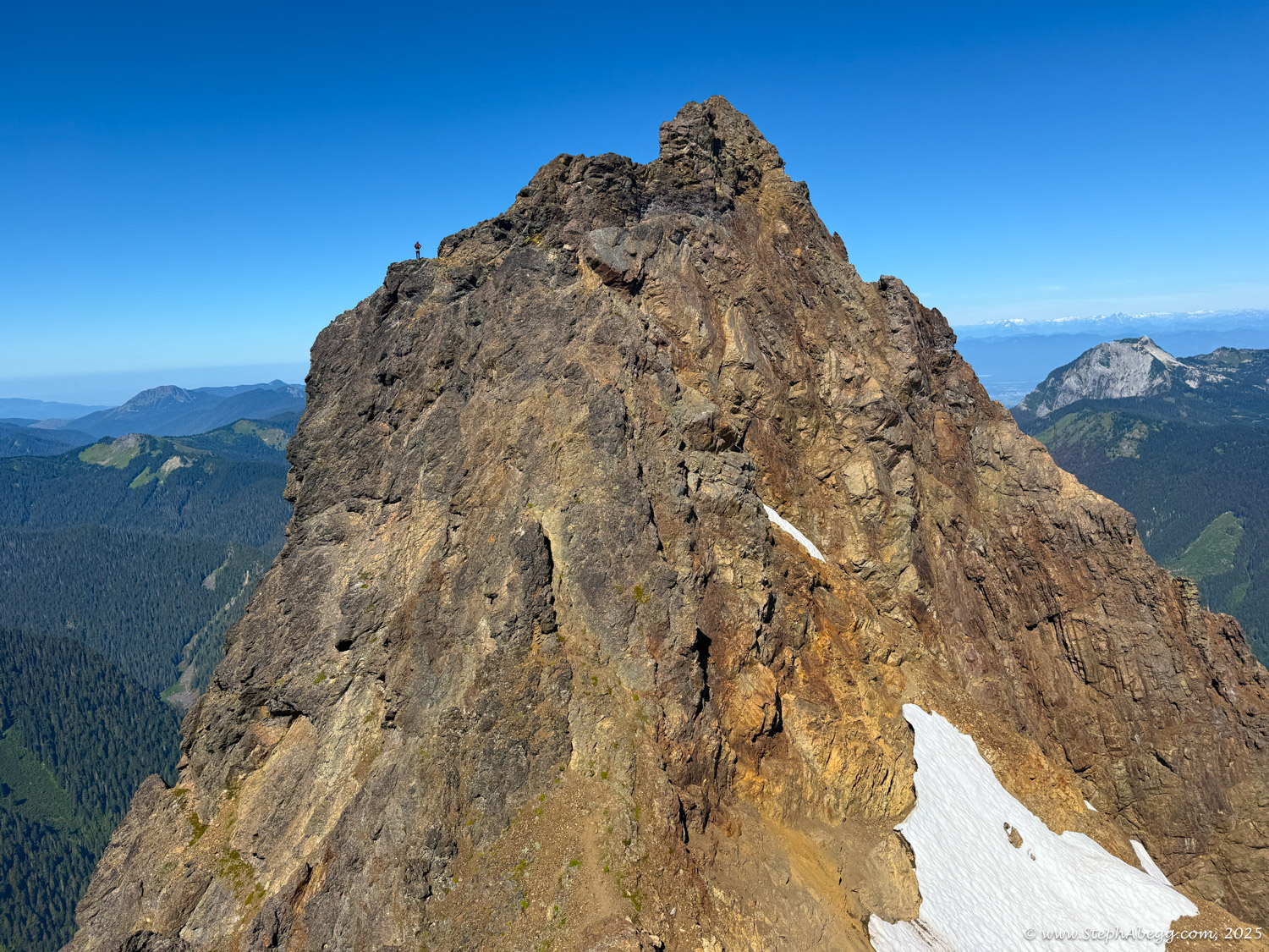
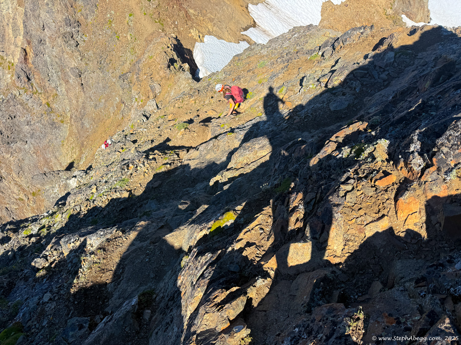
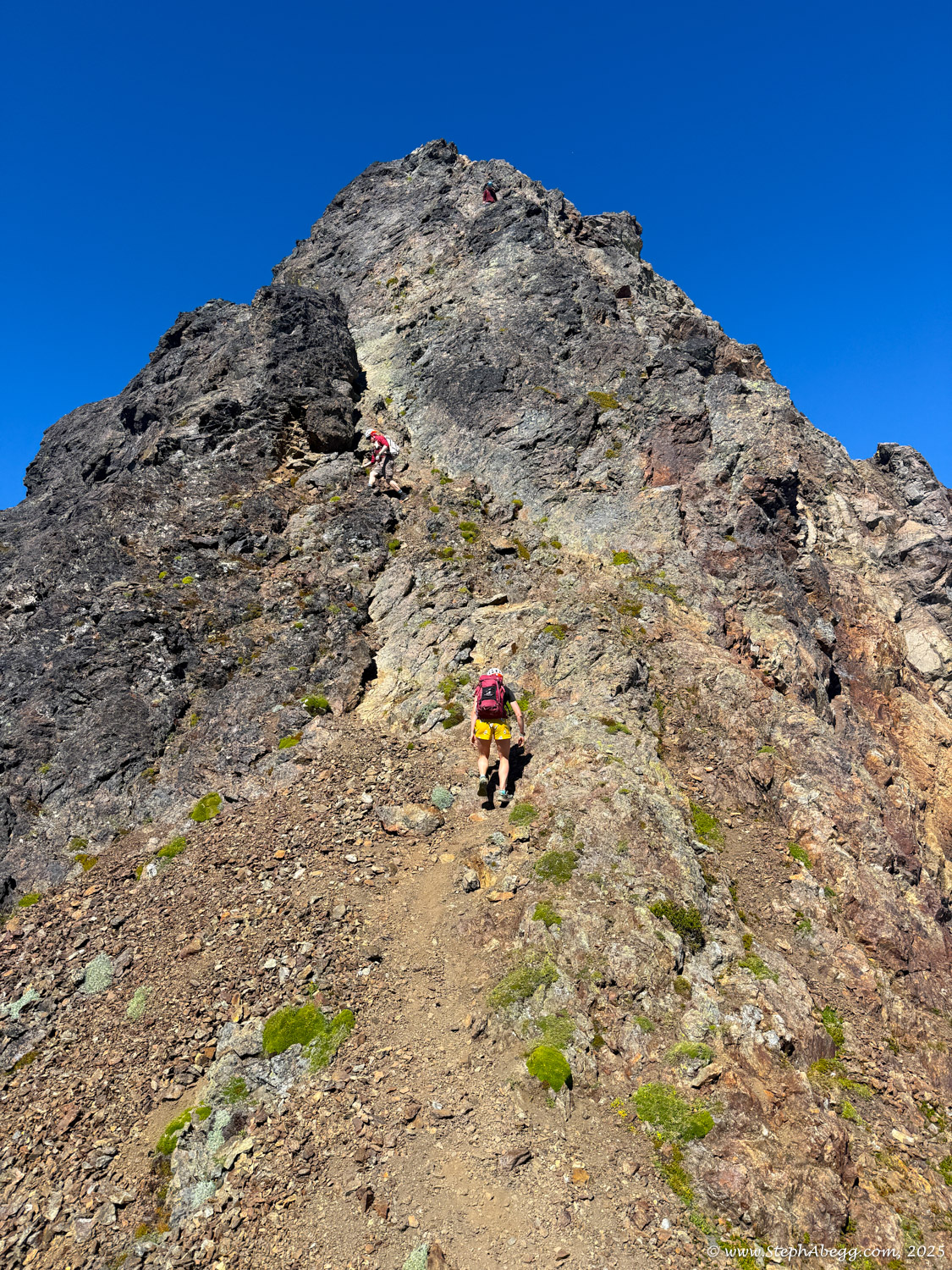
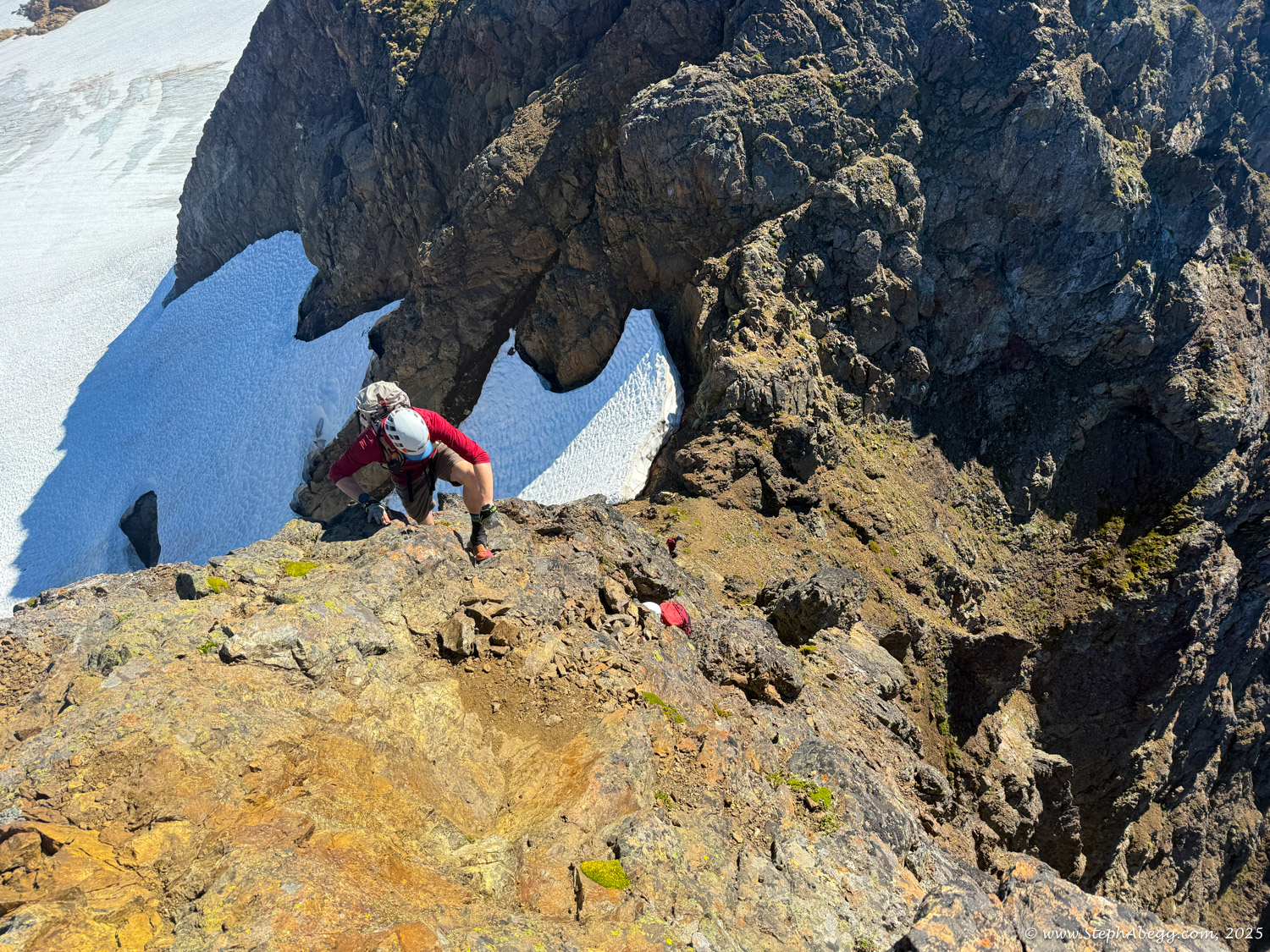
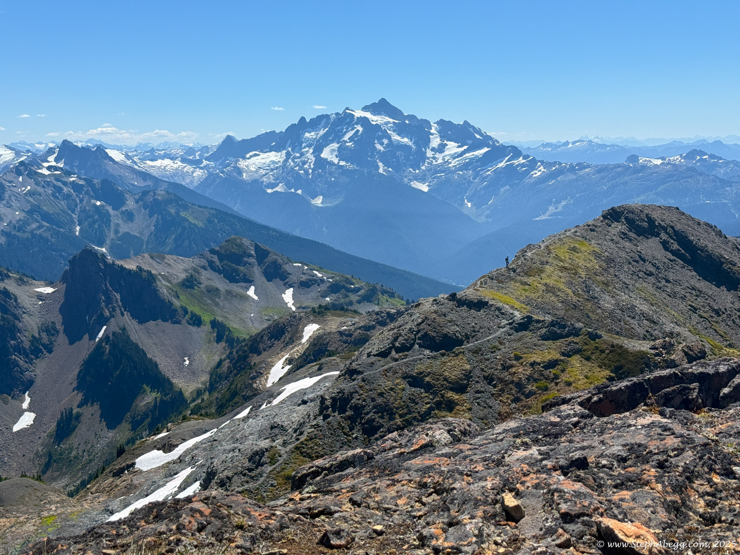
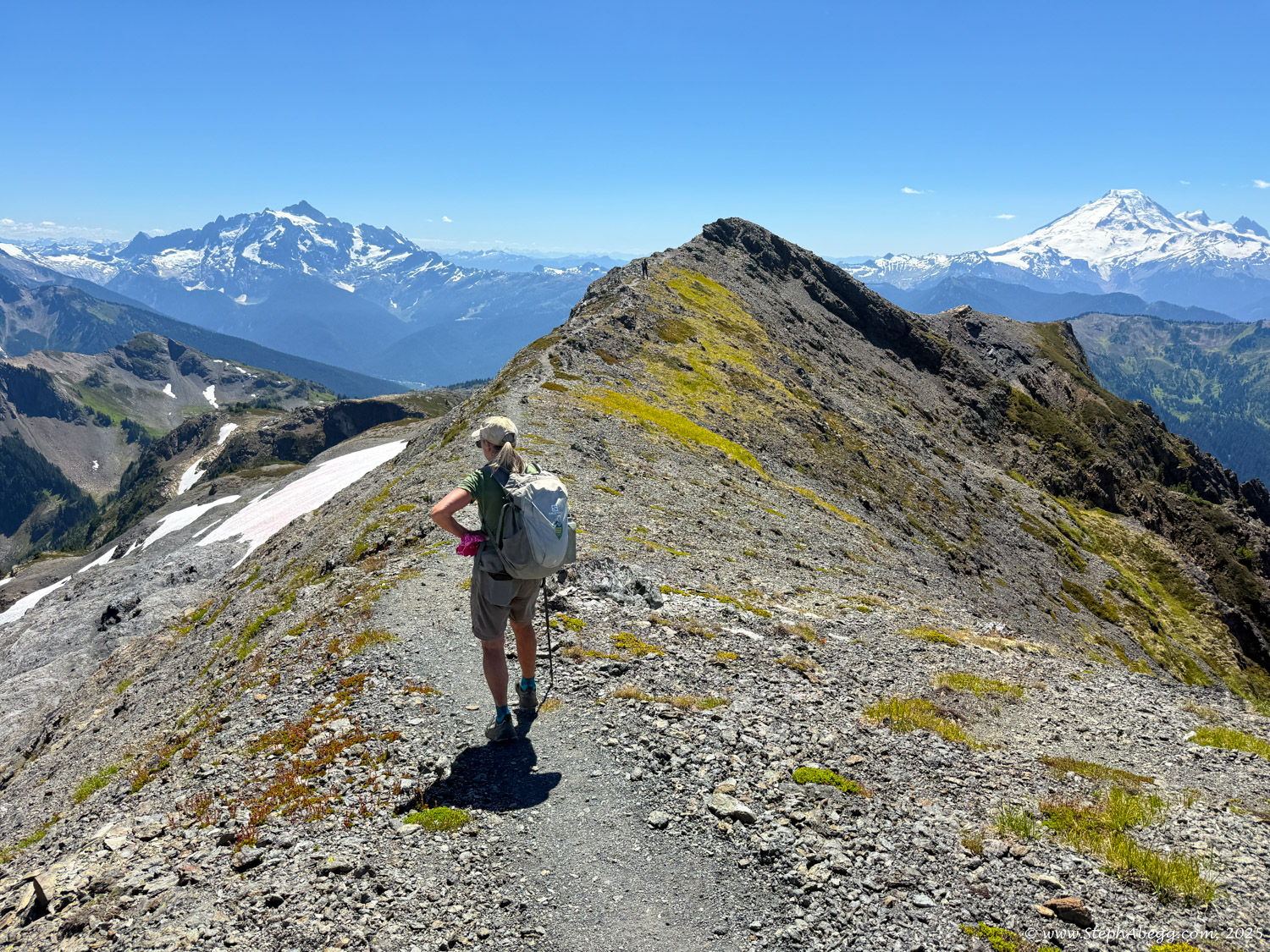
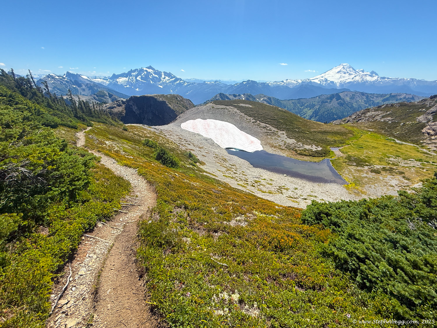
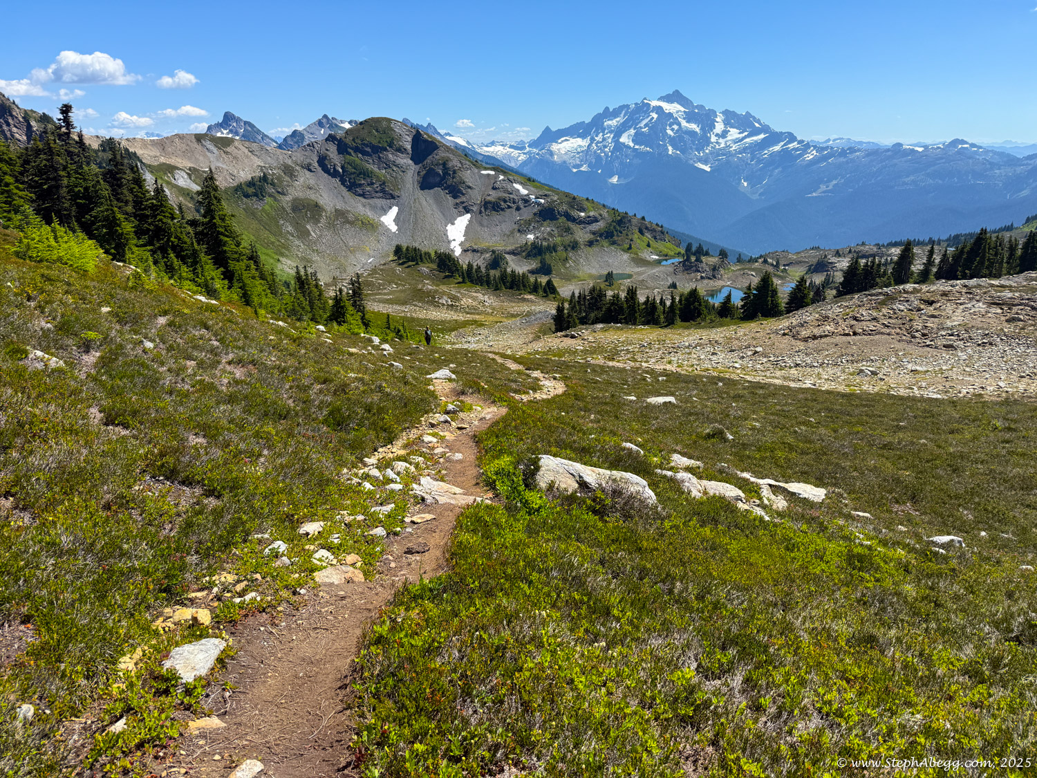
My favorite part about early autumn where I live is hiking in the North Cascades. So when September 24 looked like it would be a sunny and warm day, it was no surprise that I found myself planning a hike/climb with my cousin Lisa. The plan was to hike 3 miles into the Yellow Aster Butte area and continue up to Tomyhoi Peak, a Class 3 scramble about 3 miles from Yellow Aster Butte, near the American-Canadian Border. My Mother Sue, Aunt Barb, Uncle Scott, and Cousin’s Friend Kristen came along with Lisa and me to spend the day on the lower arm of Tomyhoi while Lisa and I climbed. We planned on a 9 hour round trip from the road for the climb, which turned out to be pretty accurate. Here is a brief timeline of our climb:
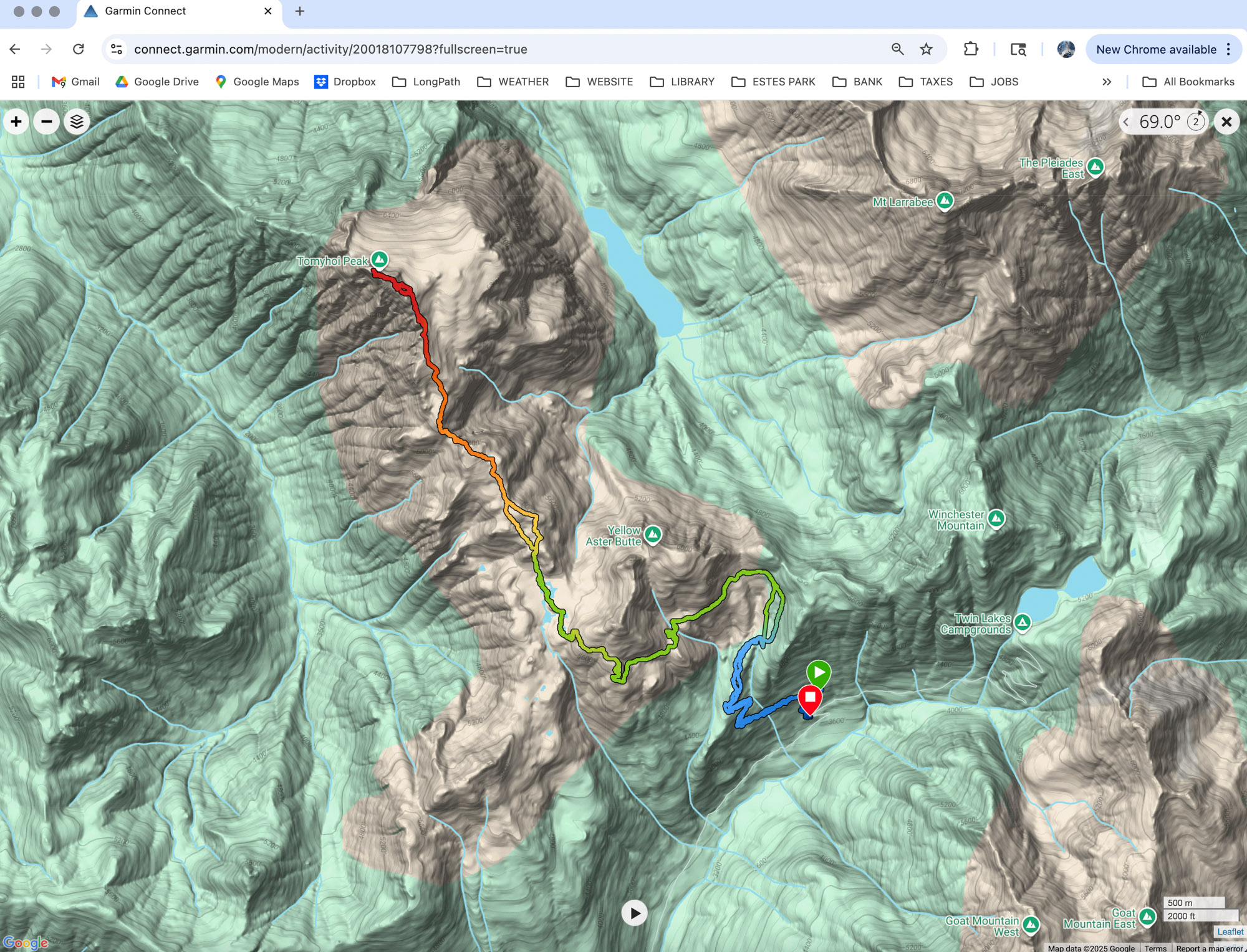
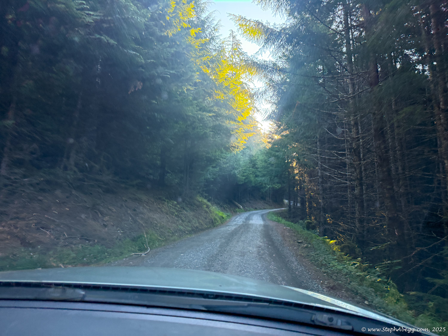
- 8:45 am - leave trailhead (3,600 ft) of Yellow Aster Butte Trail.
- 10:45 am - arrive at arm just below Yellow Aster Butte, around 5,200 ft.
- 11:45 am - Aunt Barb, Uncle Scott, Mommy Sue, and Friend Kristen find a nice place on the lower Tomyhoi Arm to stay while Lisa and I climb.
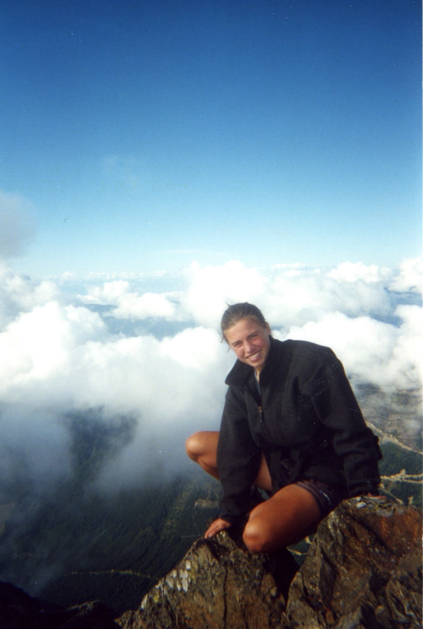
- 1:35 pm - Lisa and I arrive on summit (7,435 ft) (just under 5 hours from road at a relaxed pace).
- 2:01 pm - Lisa and I head down from summit.
- 6:05 pm - arrive back at car.
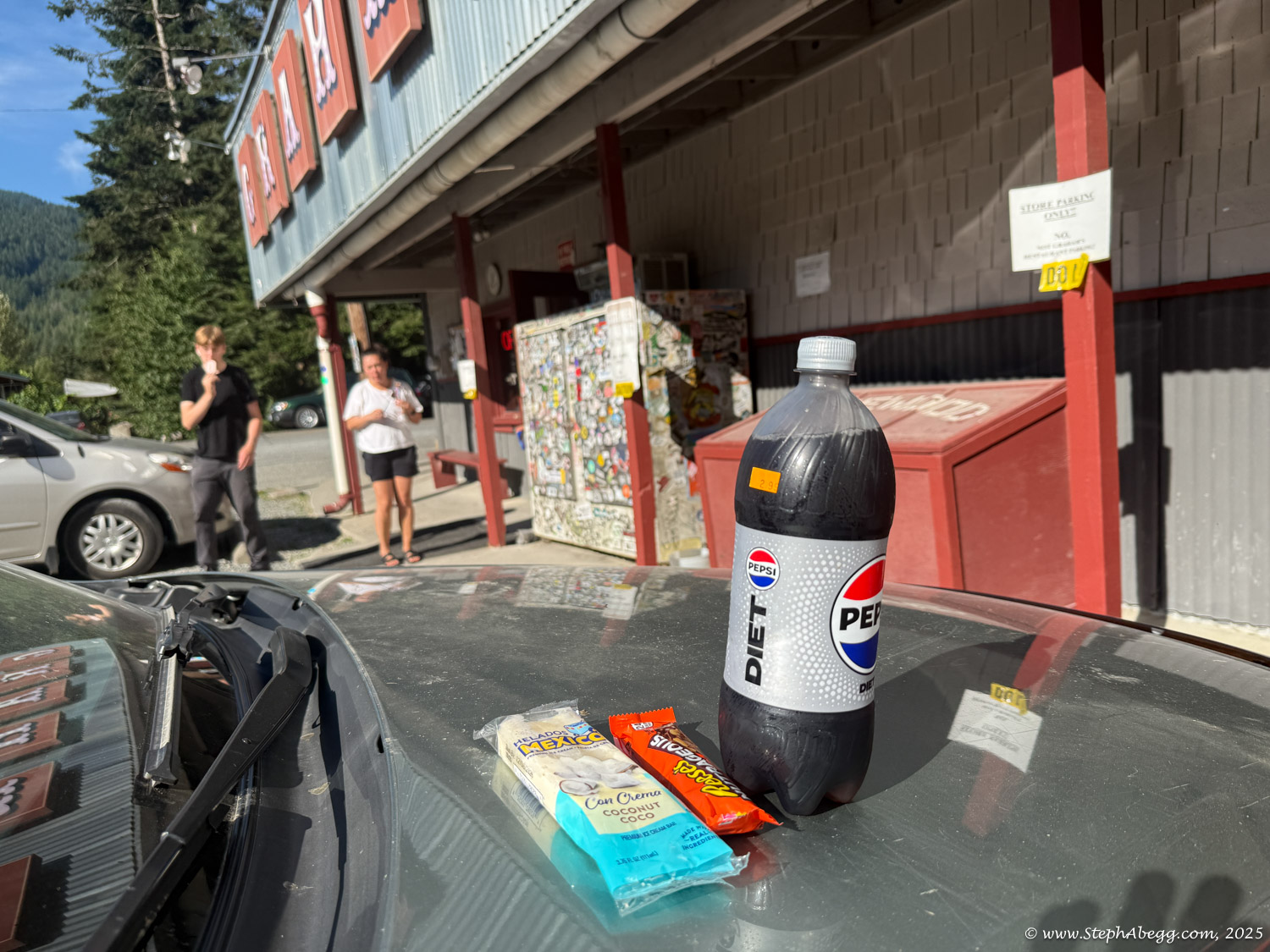
- 7:15 pm - my mom and I arrive at the Sumas border crossing to find a lineup extending out the south end of the town, due to a murder suspect that was thought to be escaping into Canada. This was the longest border wait I have ever experienced. But at least we were able to get home eventually (apparently the timorous Blaine border crossing guards refused to work, saying that without guns they "felt unsafe" (a likely excuse--I think they all saw the nice weather and decided they wanted to go hiking. Perhaps this was why there were so many people climbing Tomyhoi—all those Blaine border guards…)).
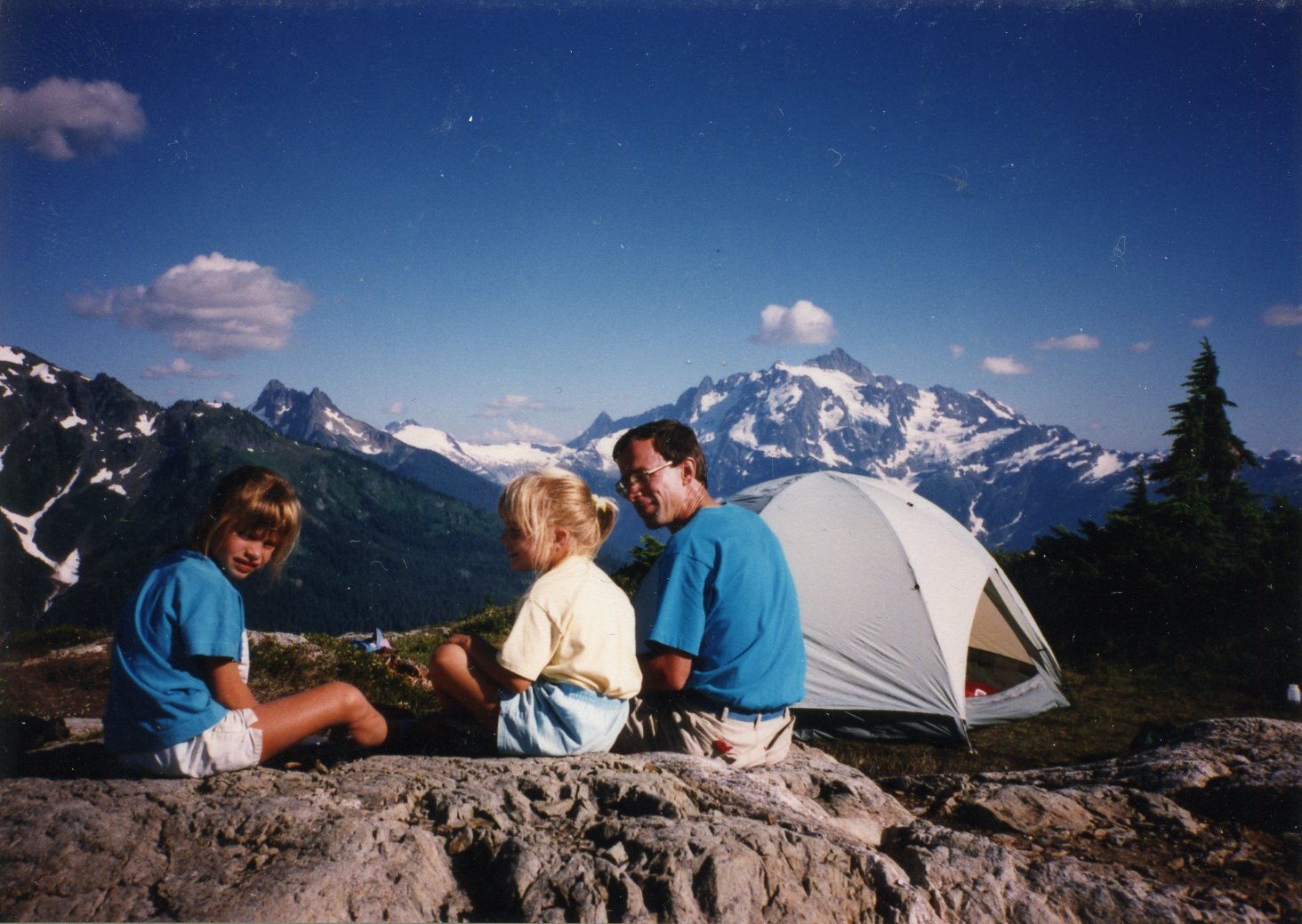
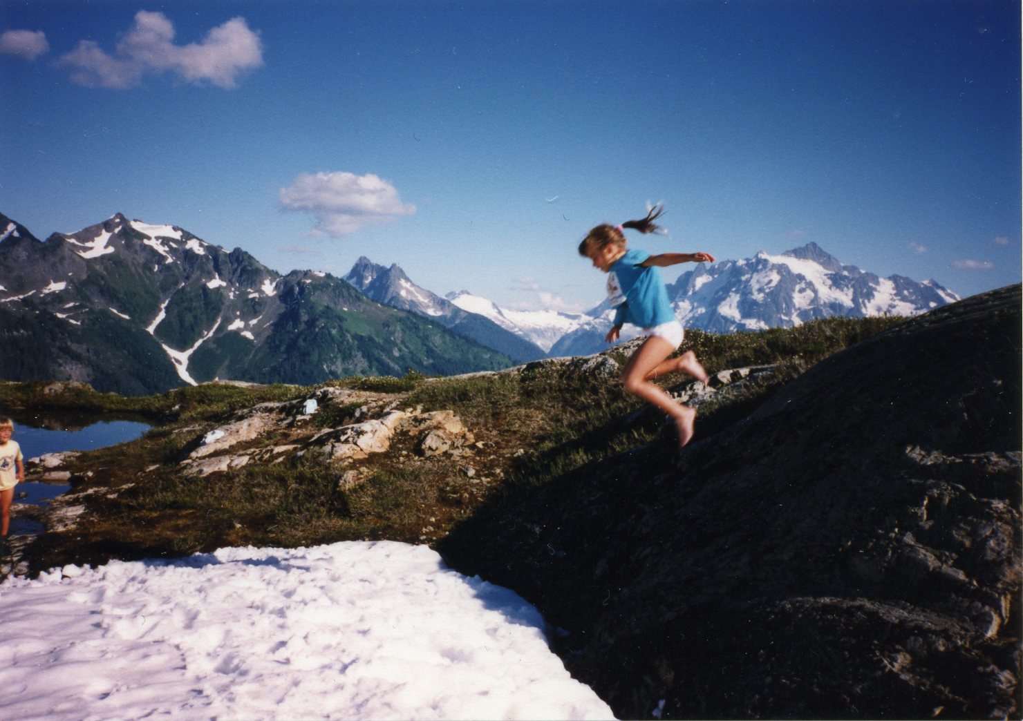
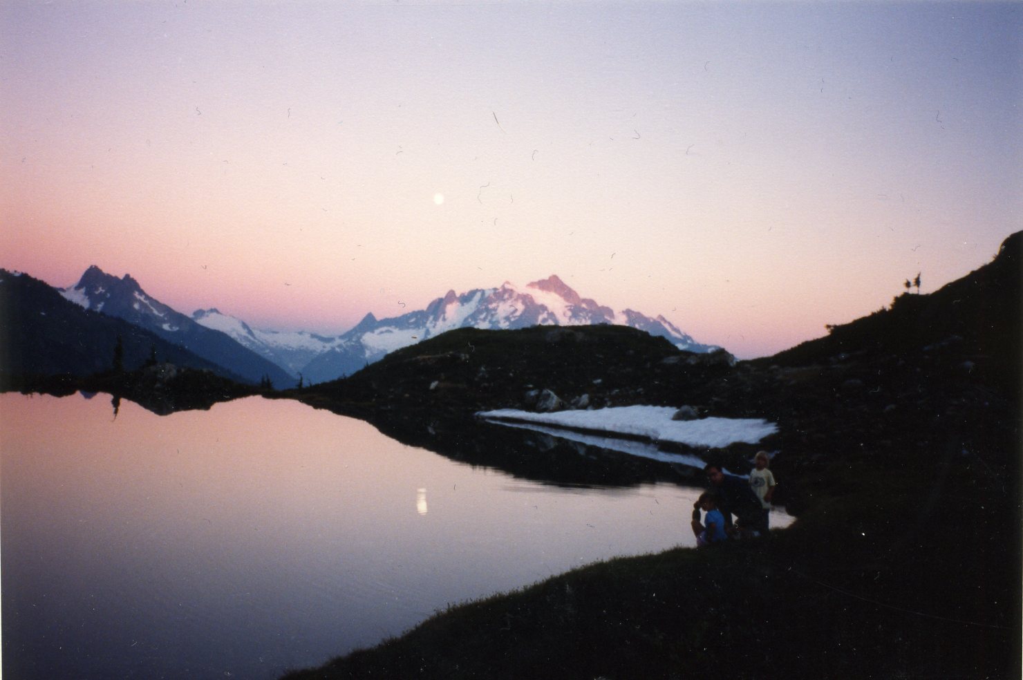
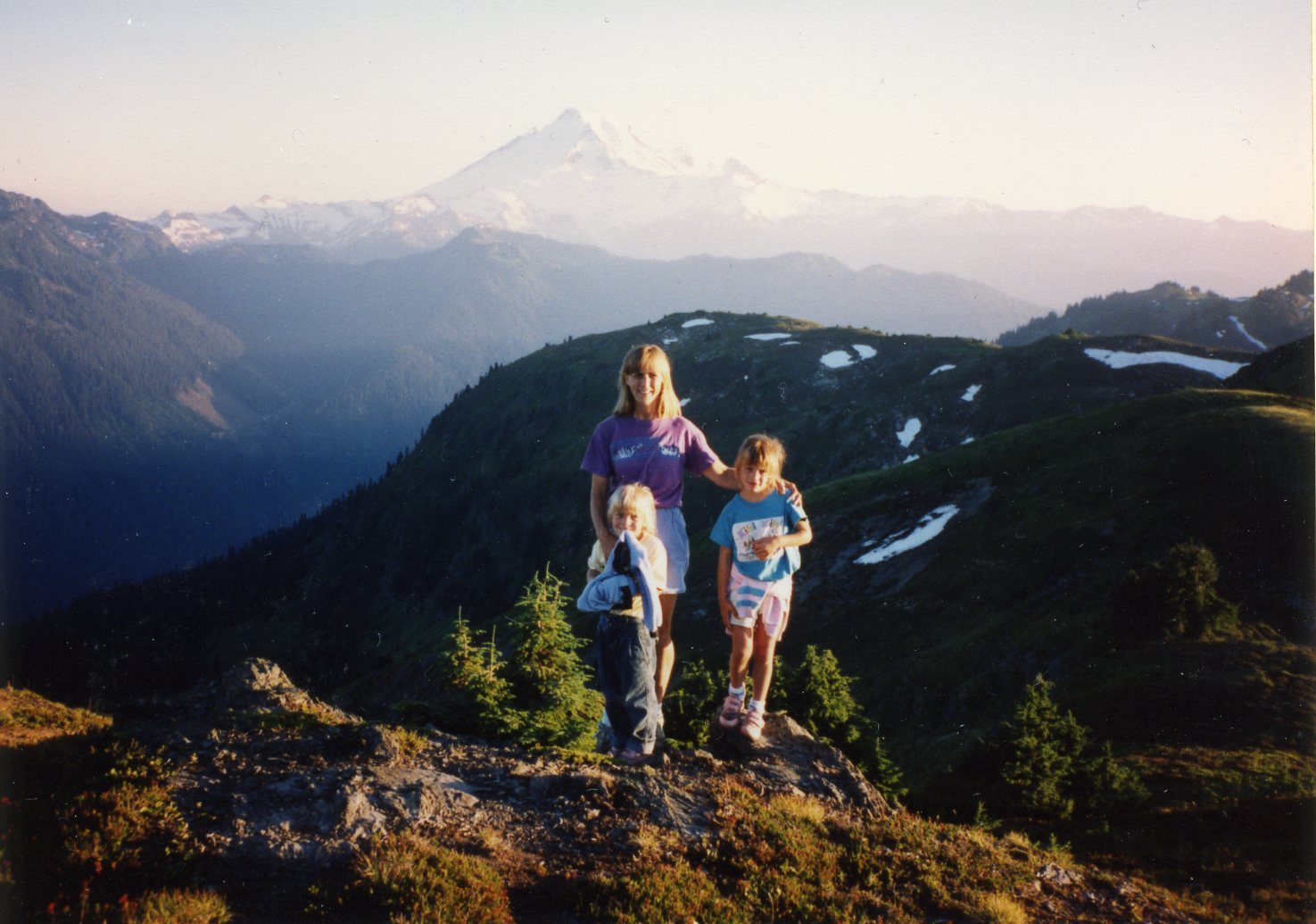
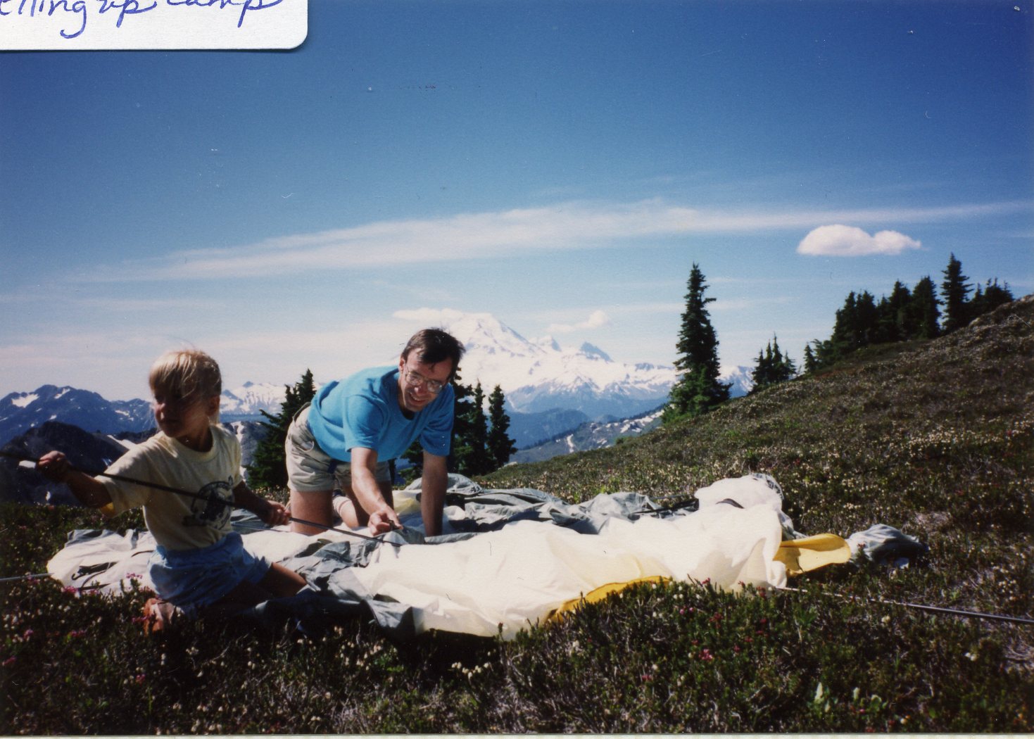
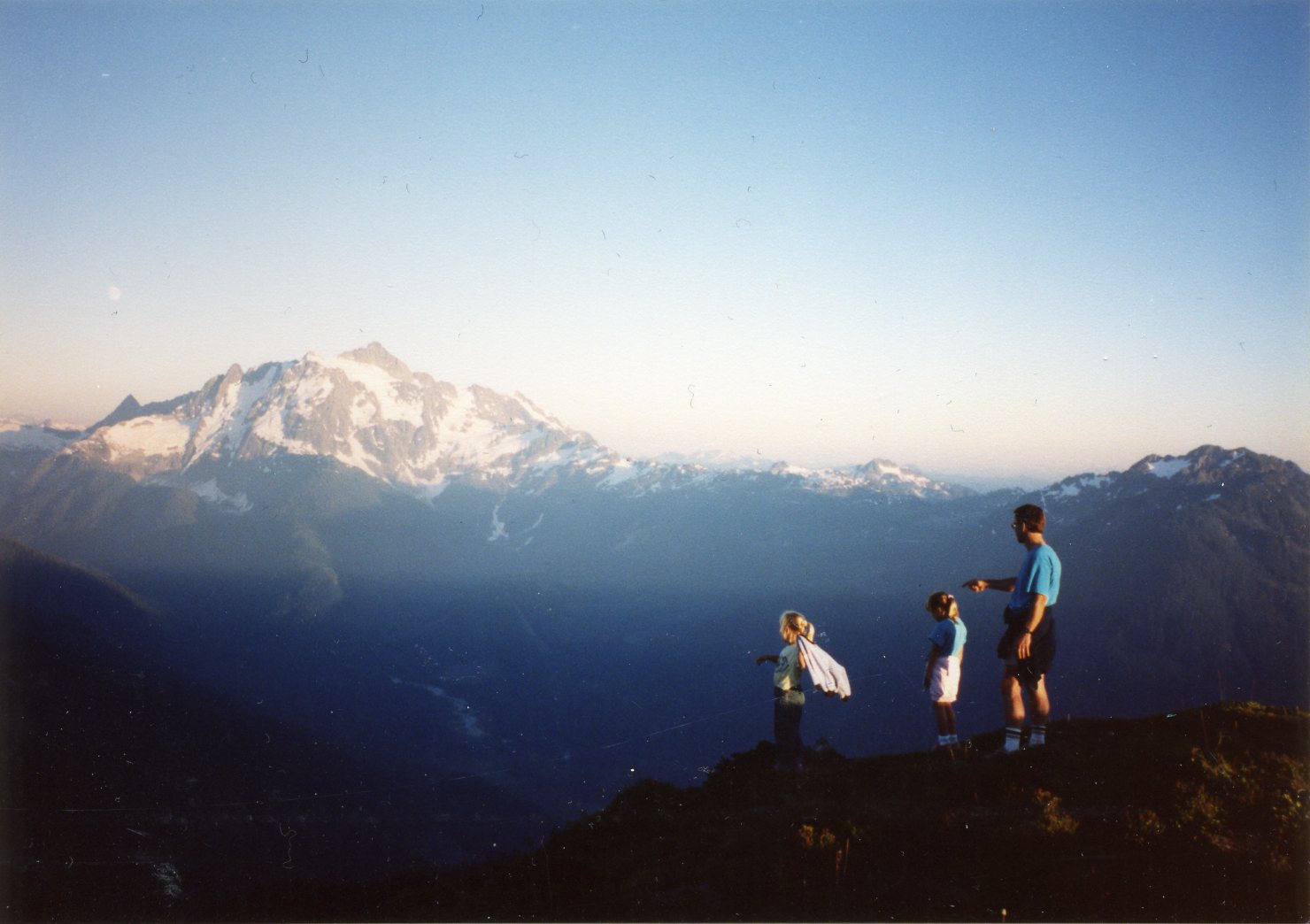
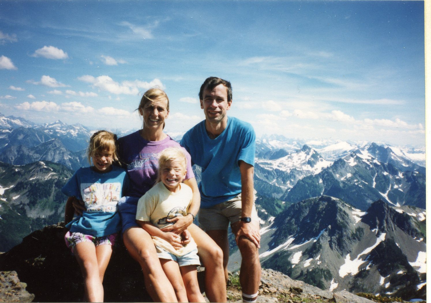
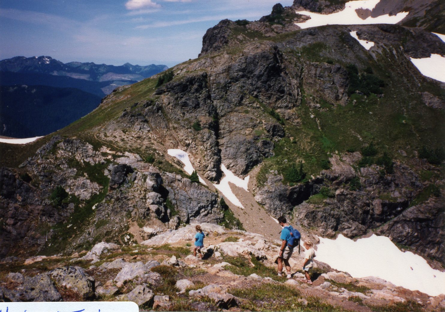
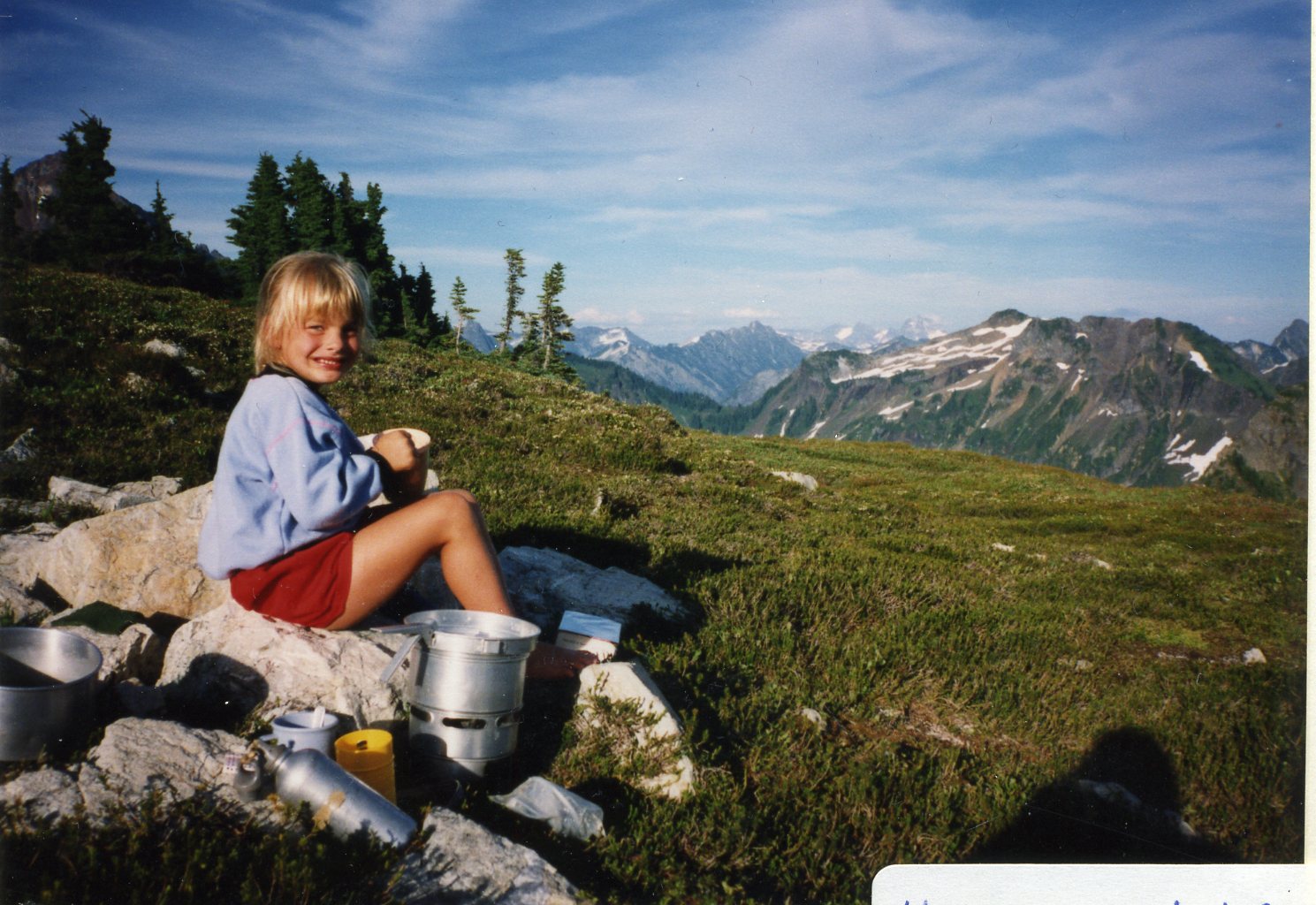
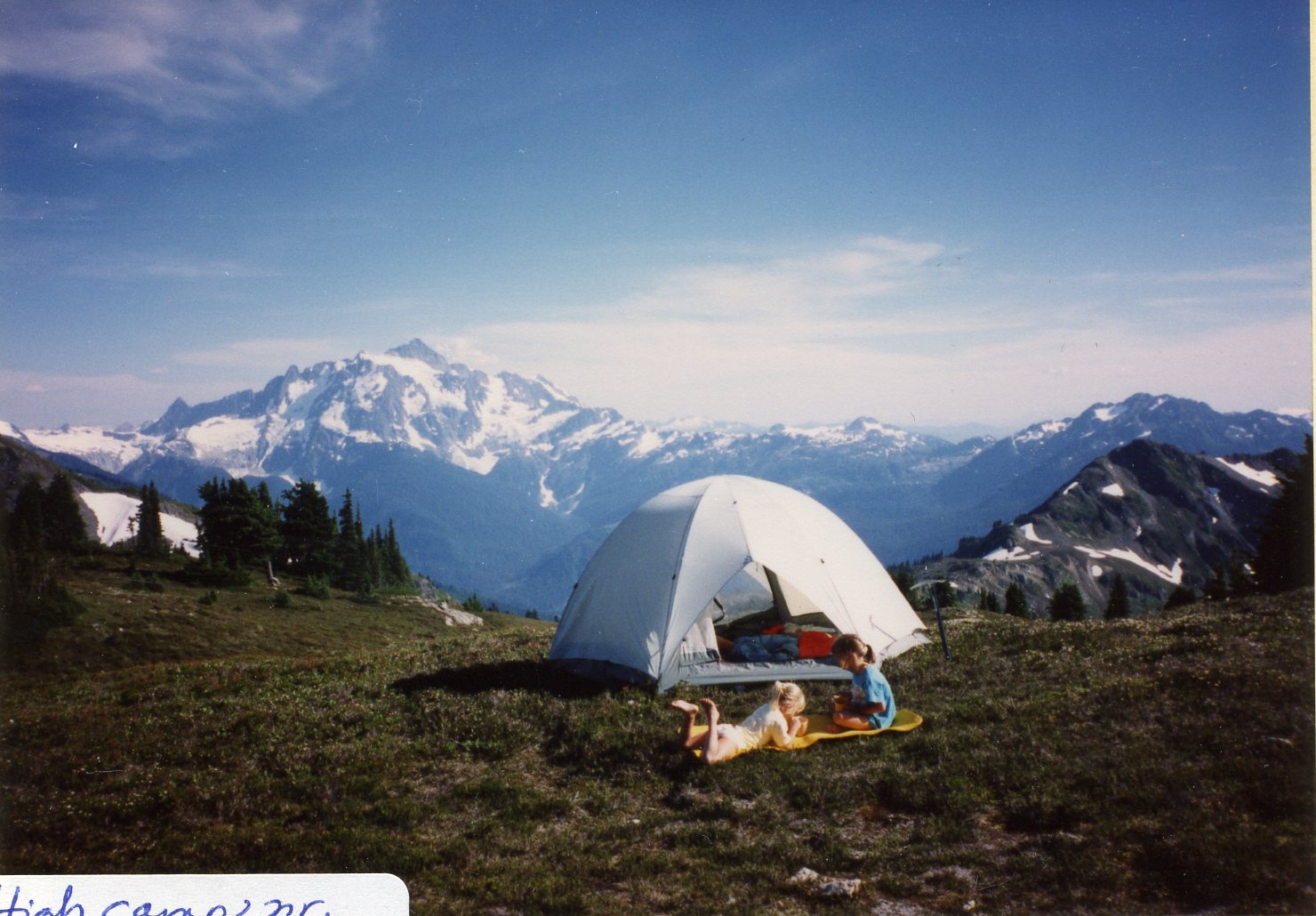
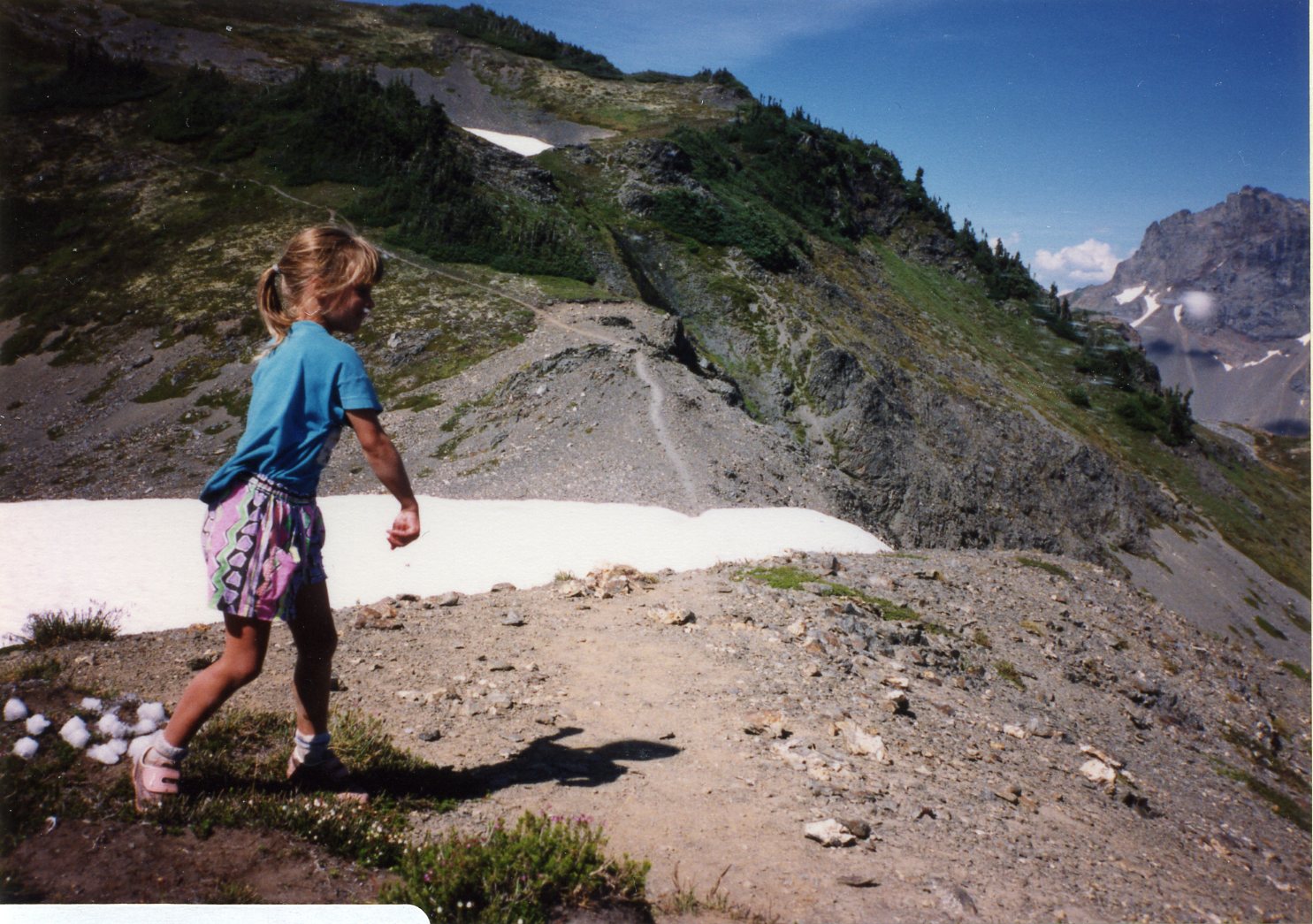
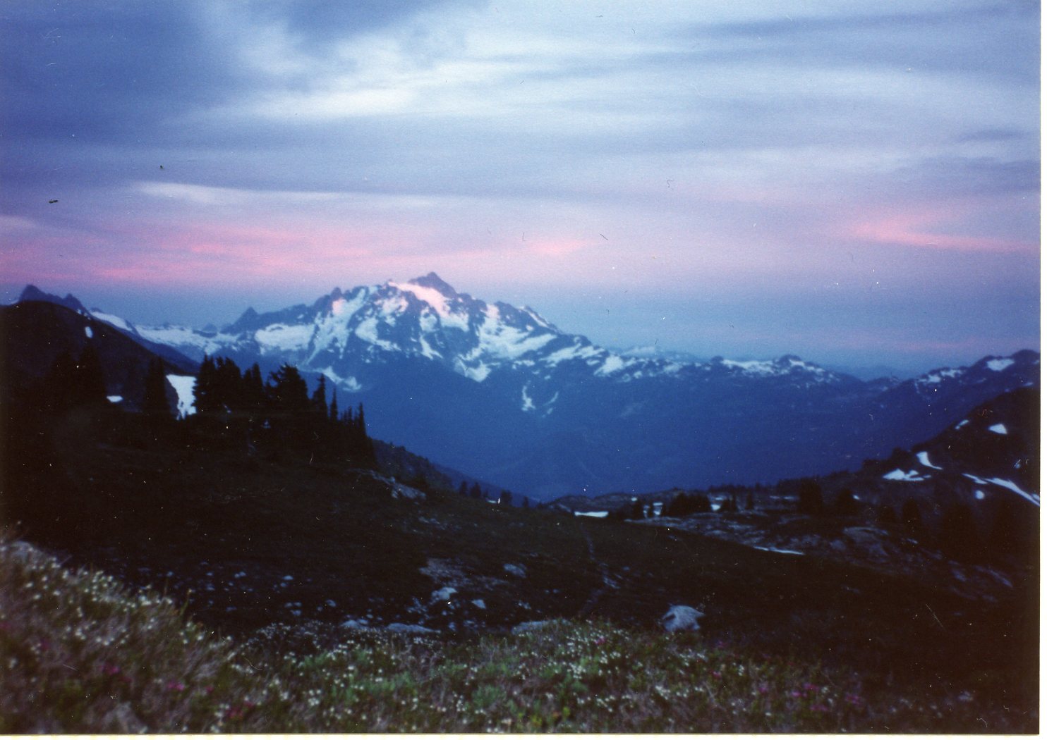
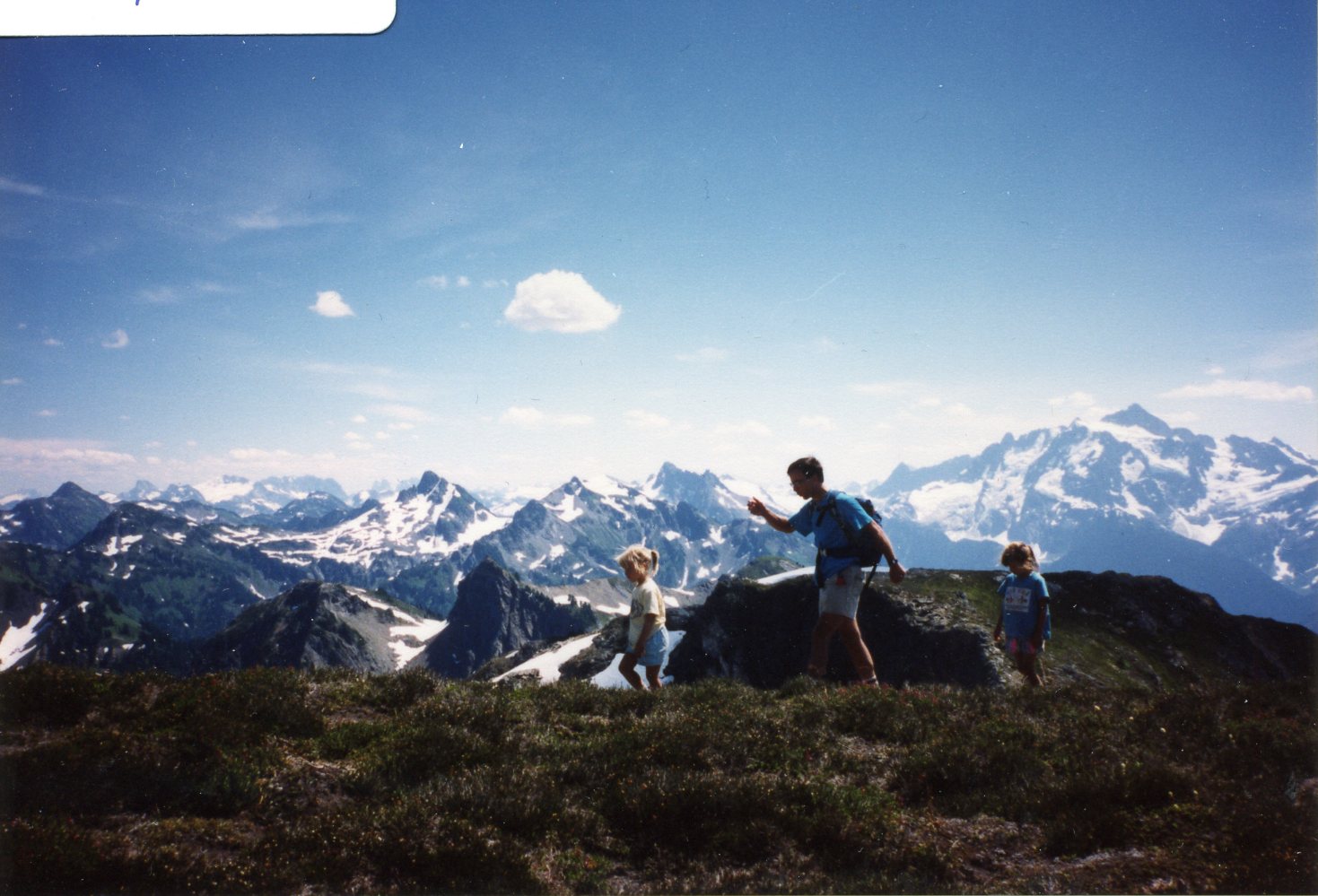
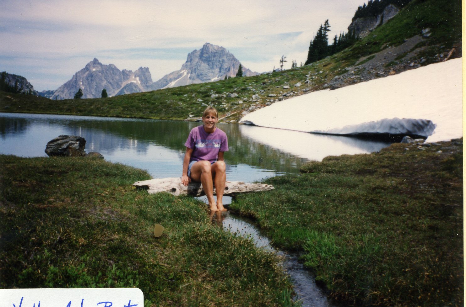
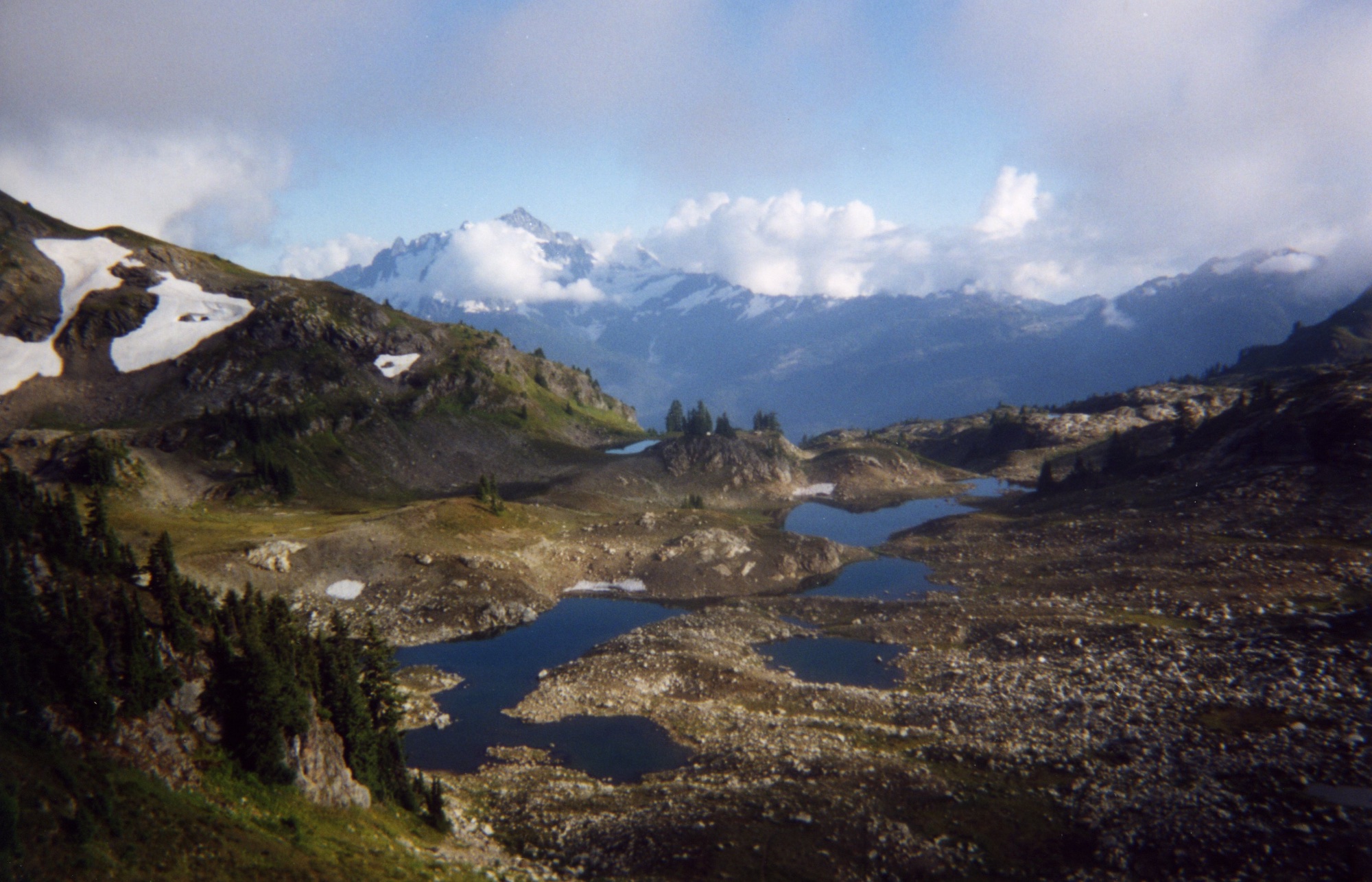
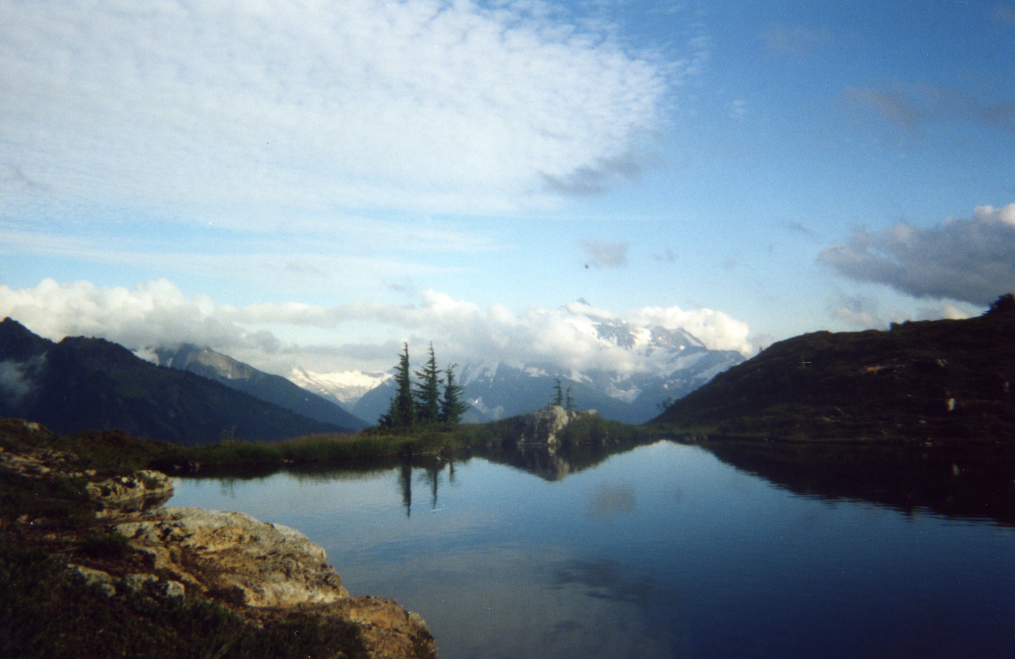
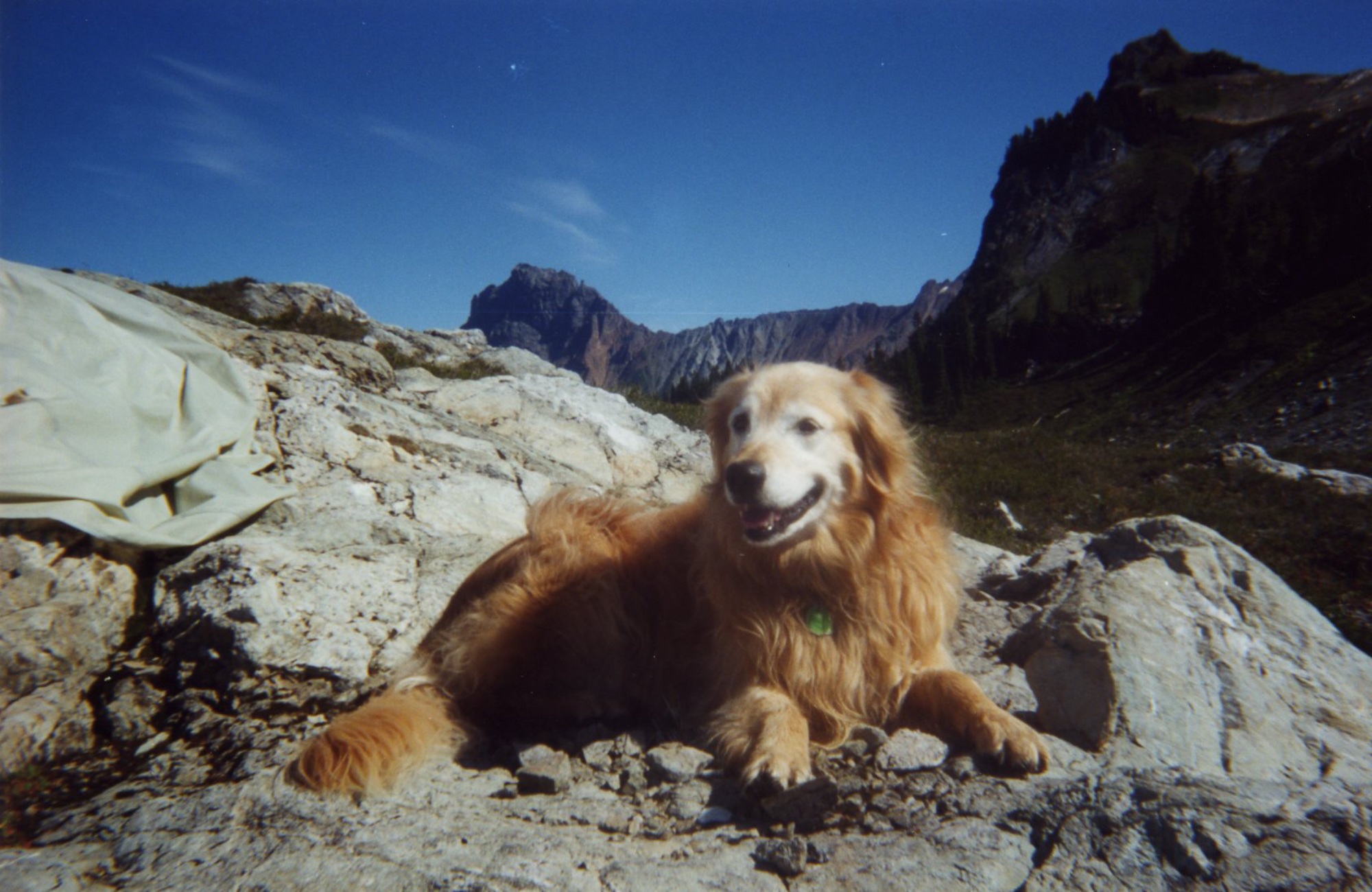
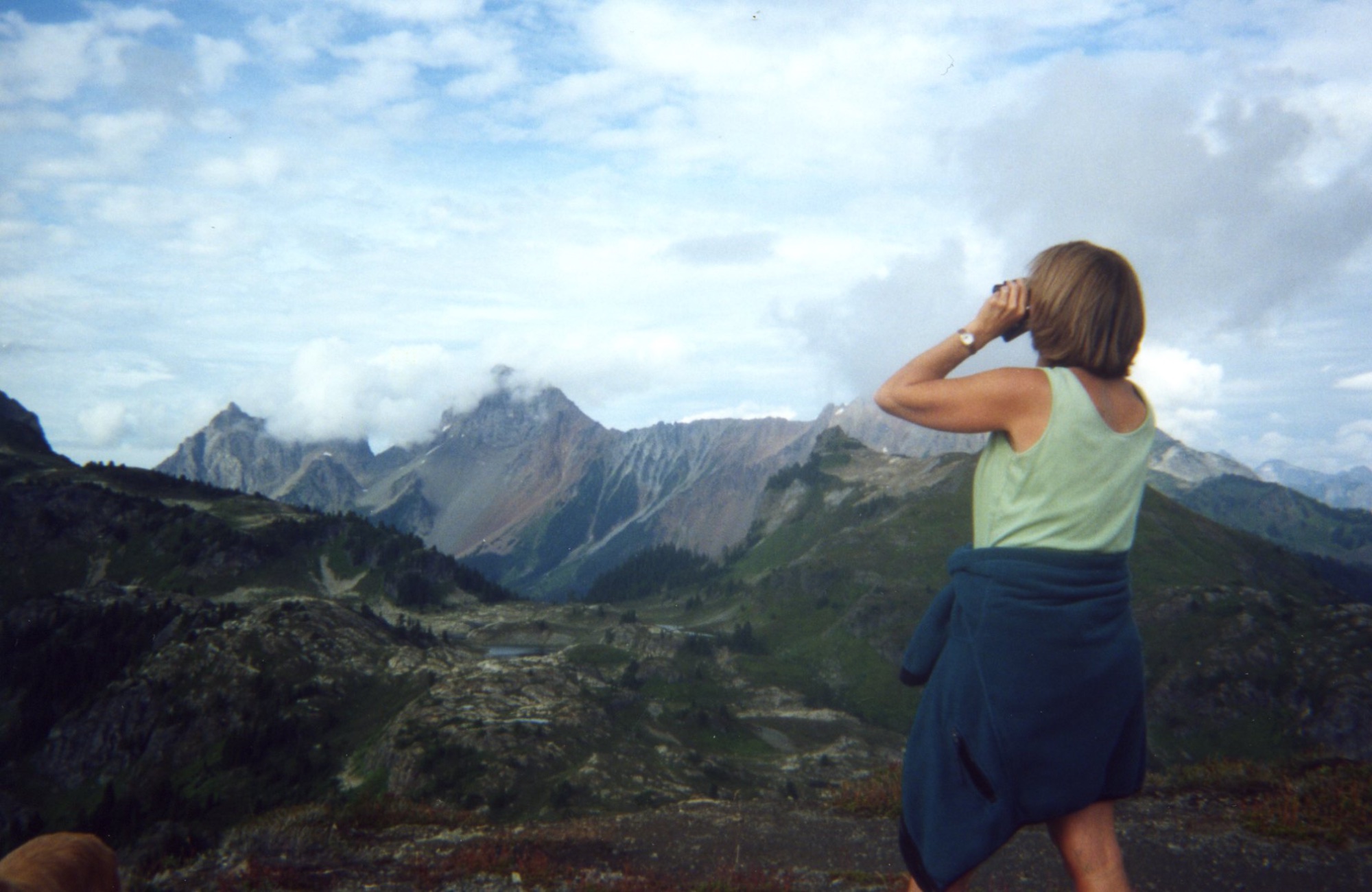
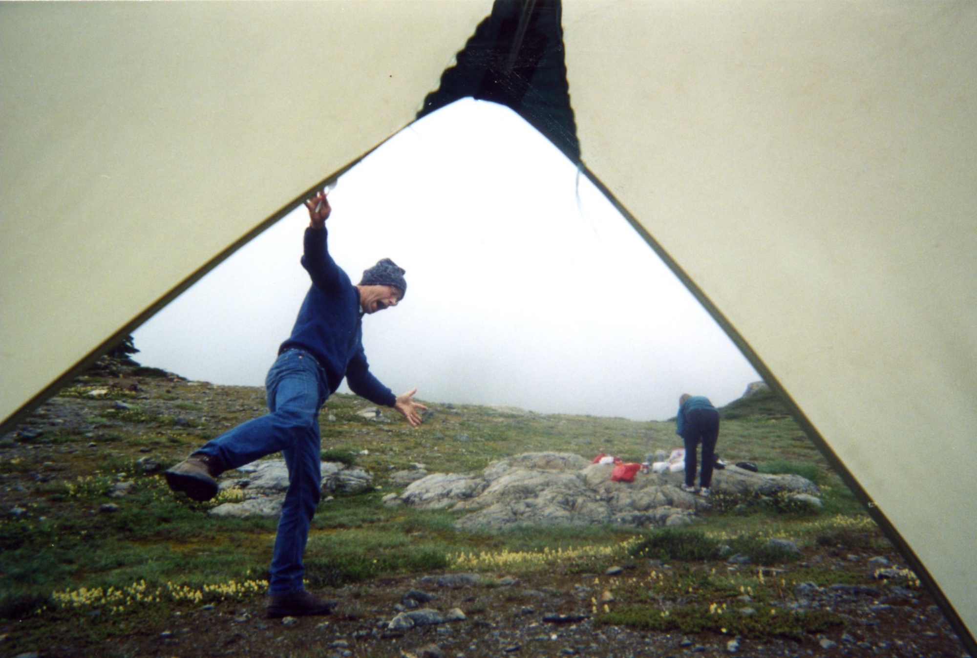
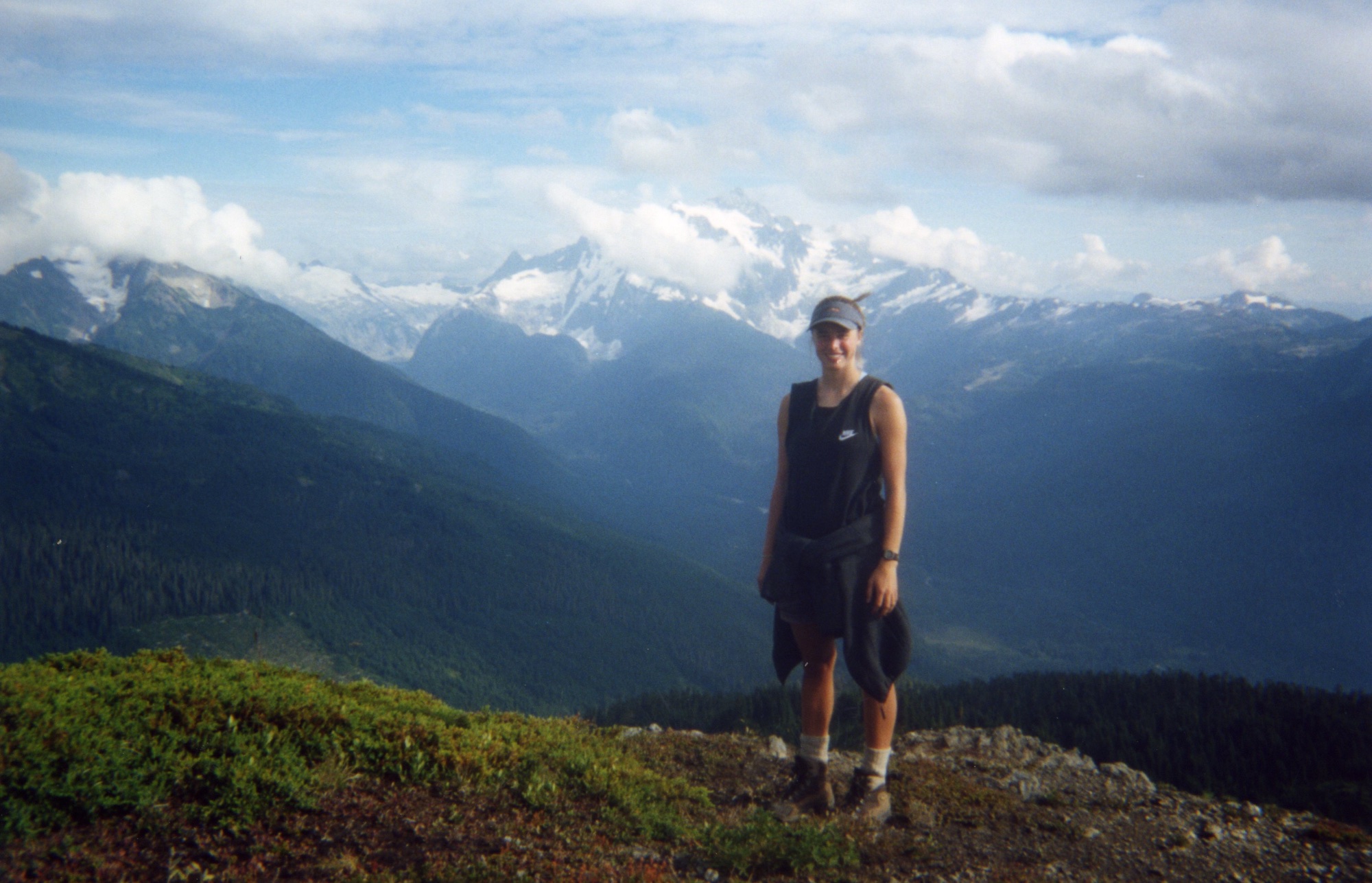
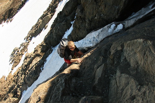
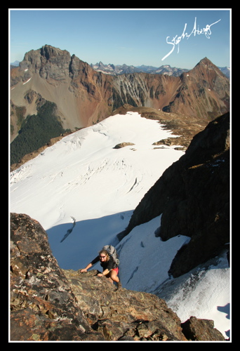
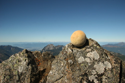
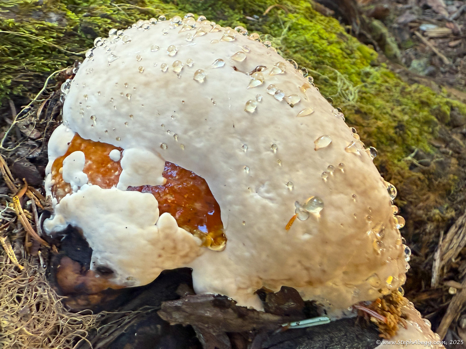
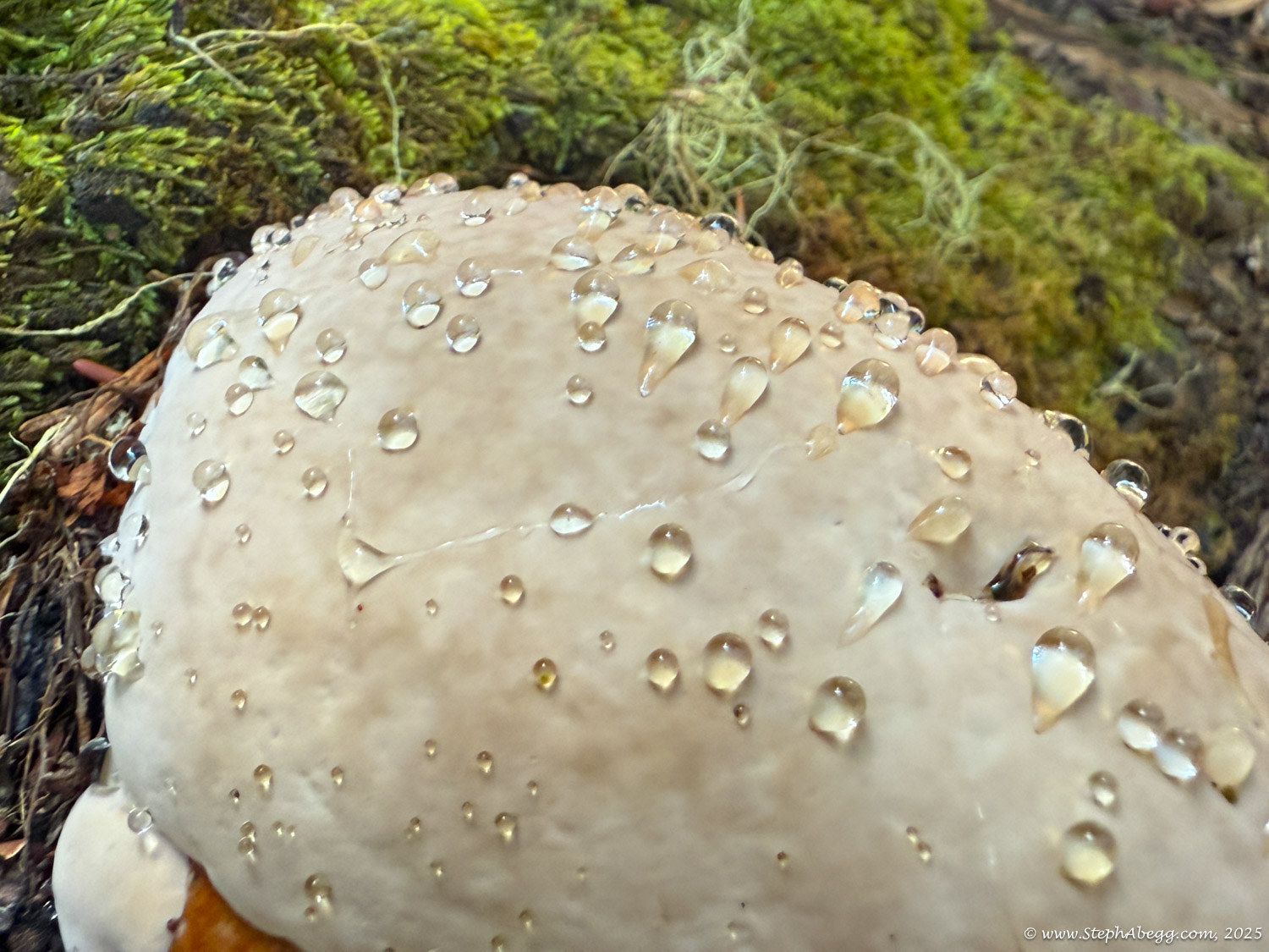
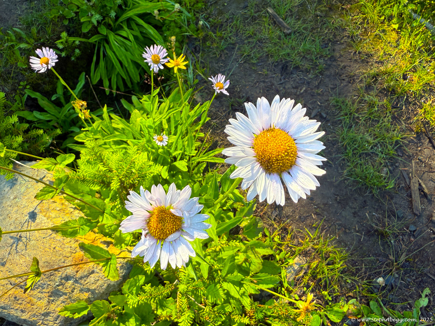
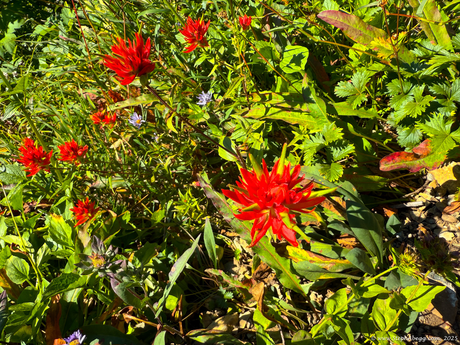
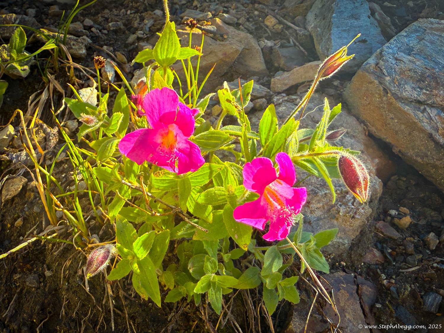
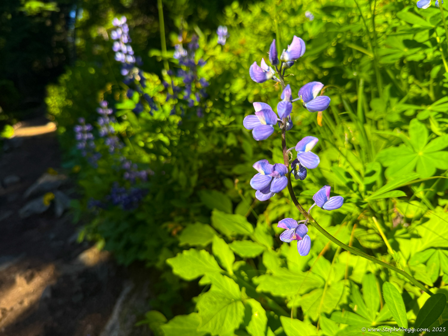
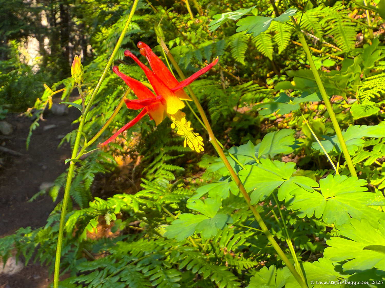
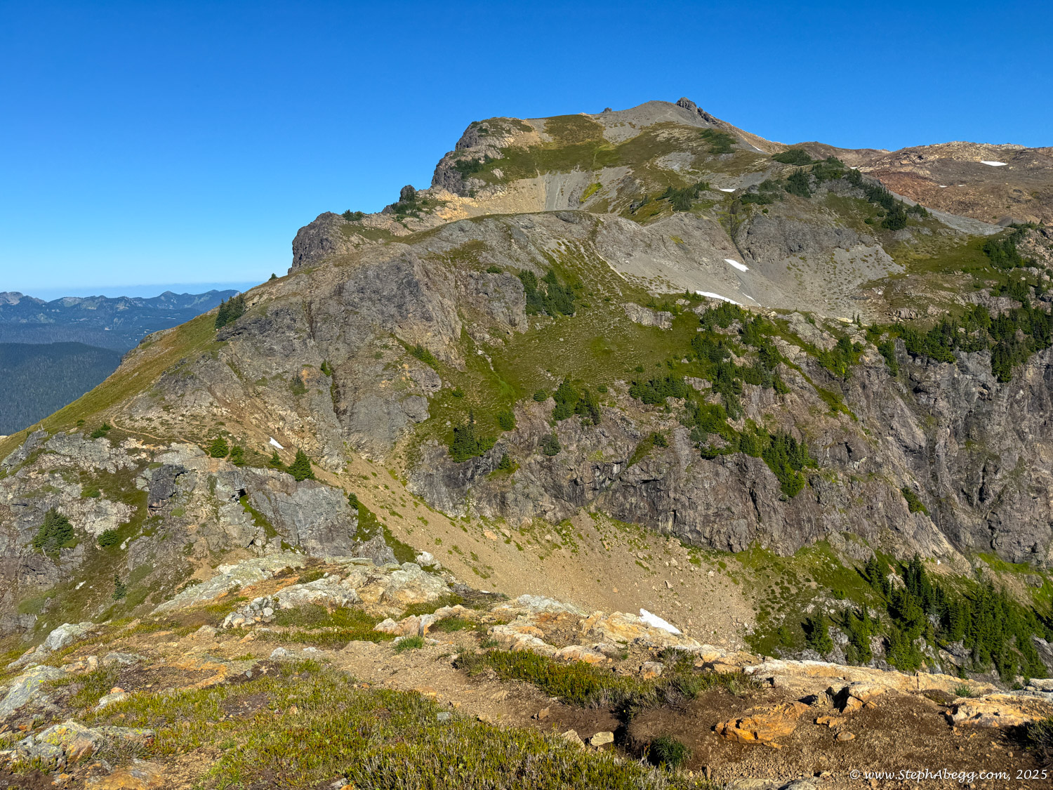
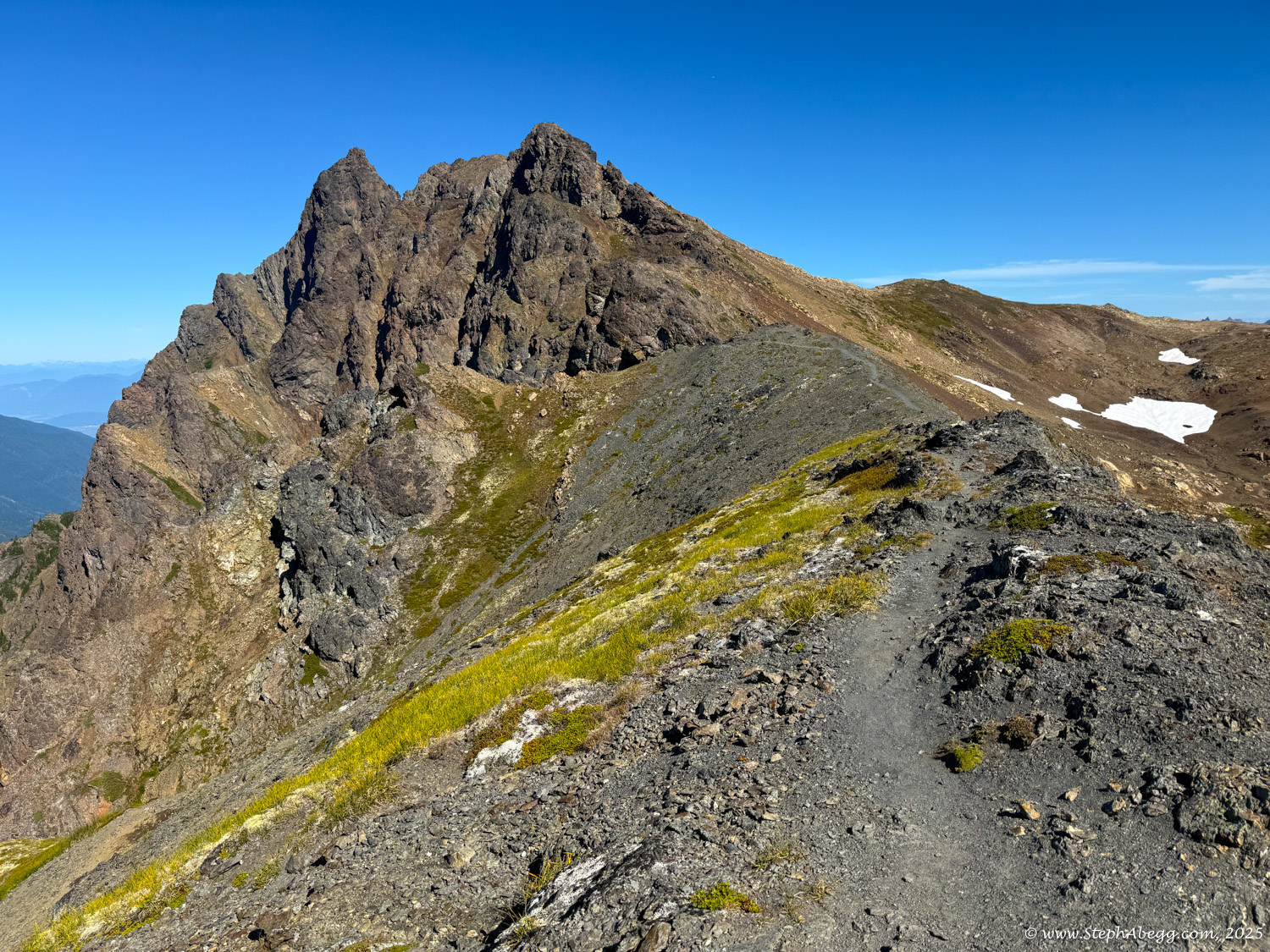
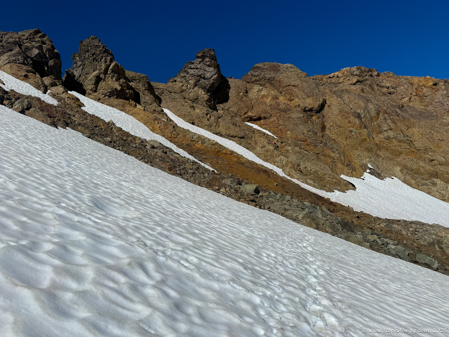
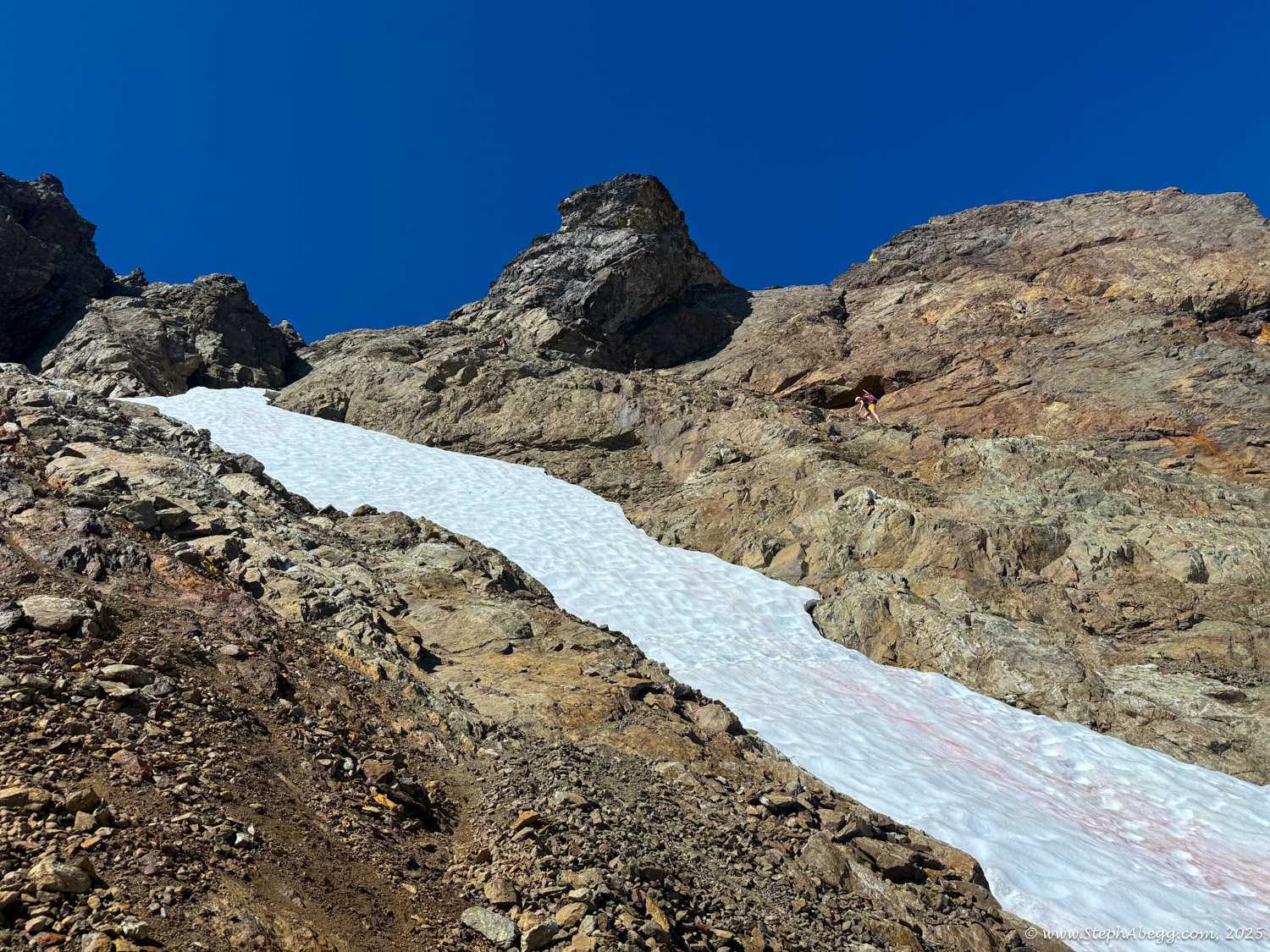
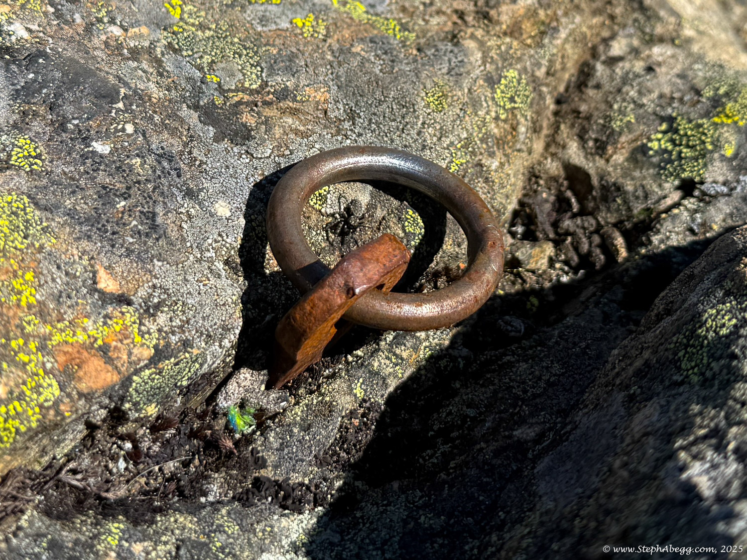
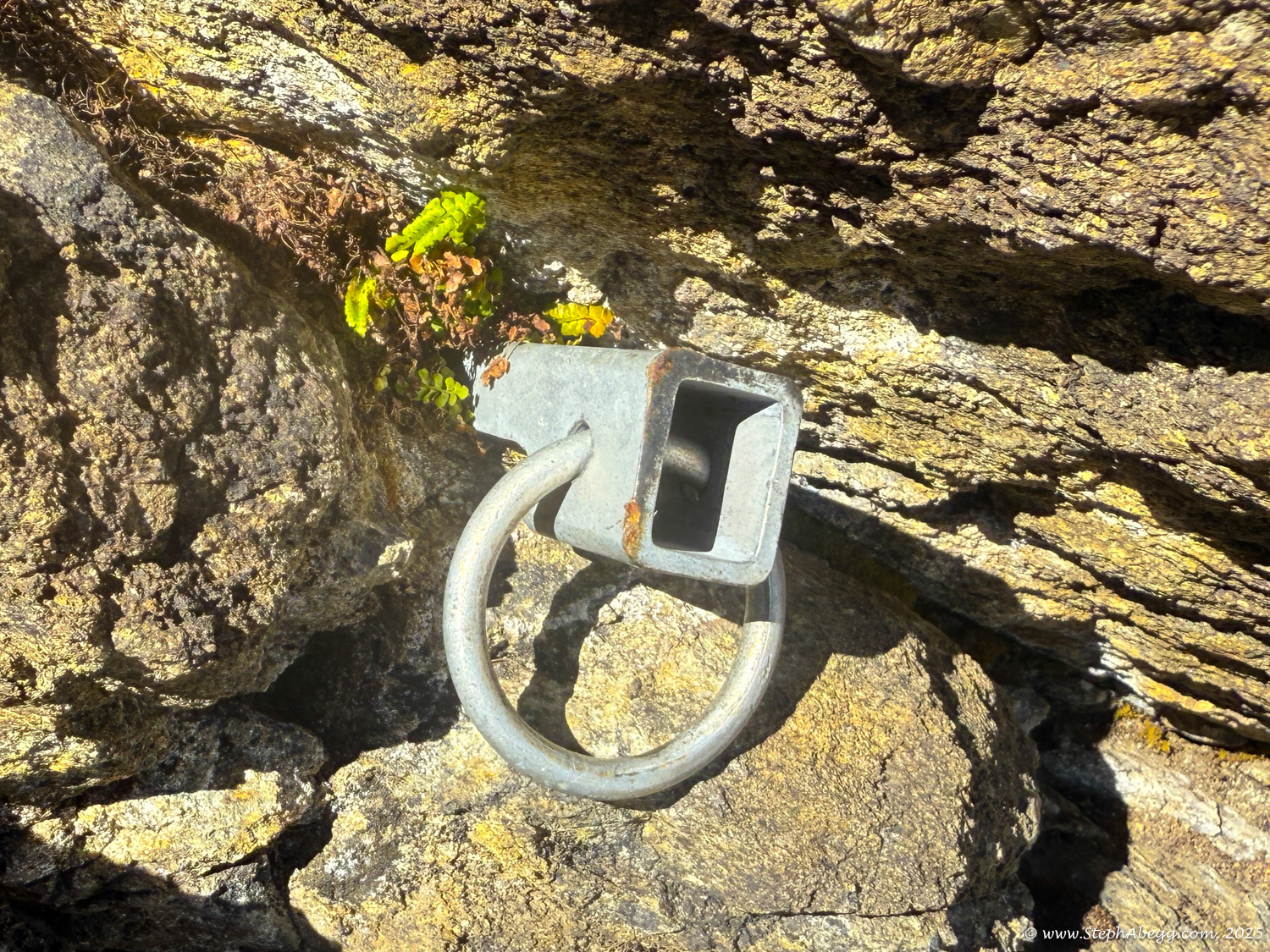
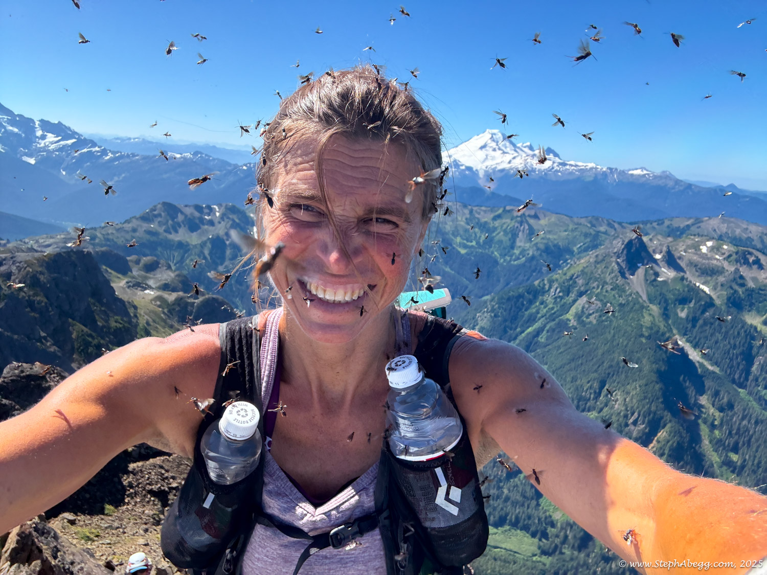
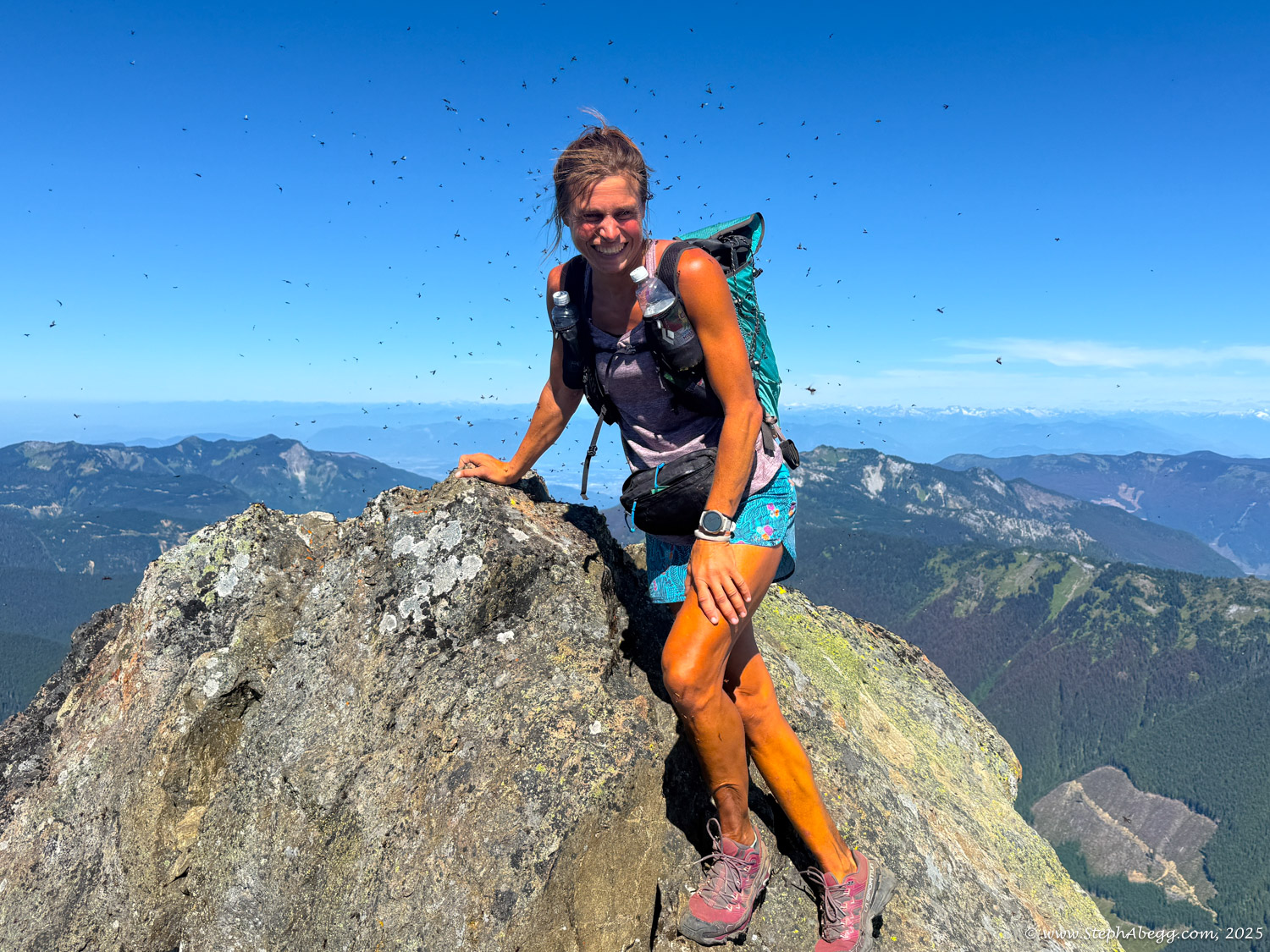
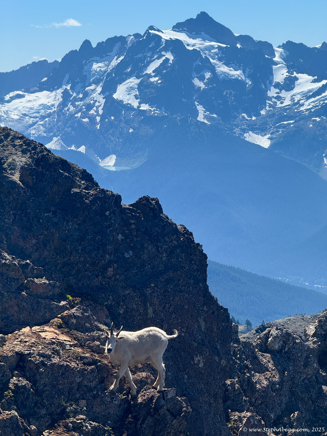
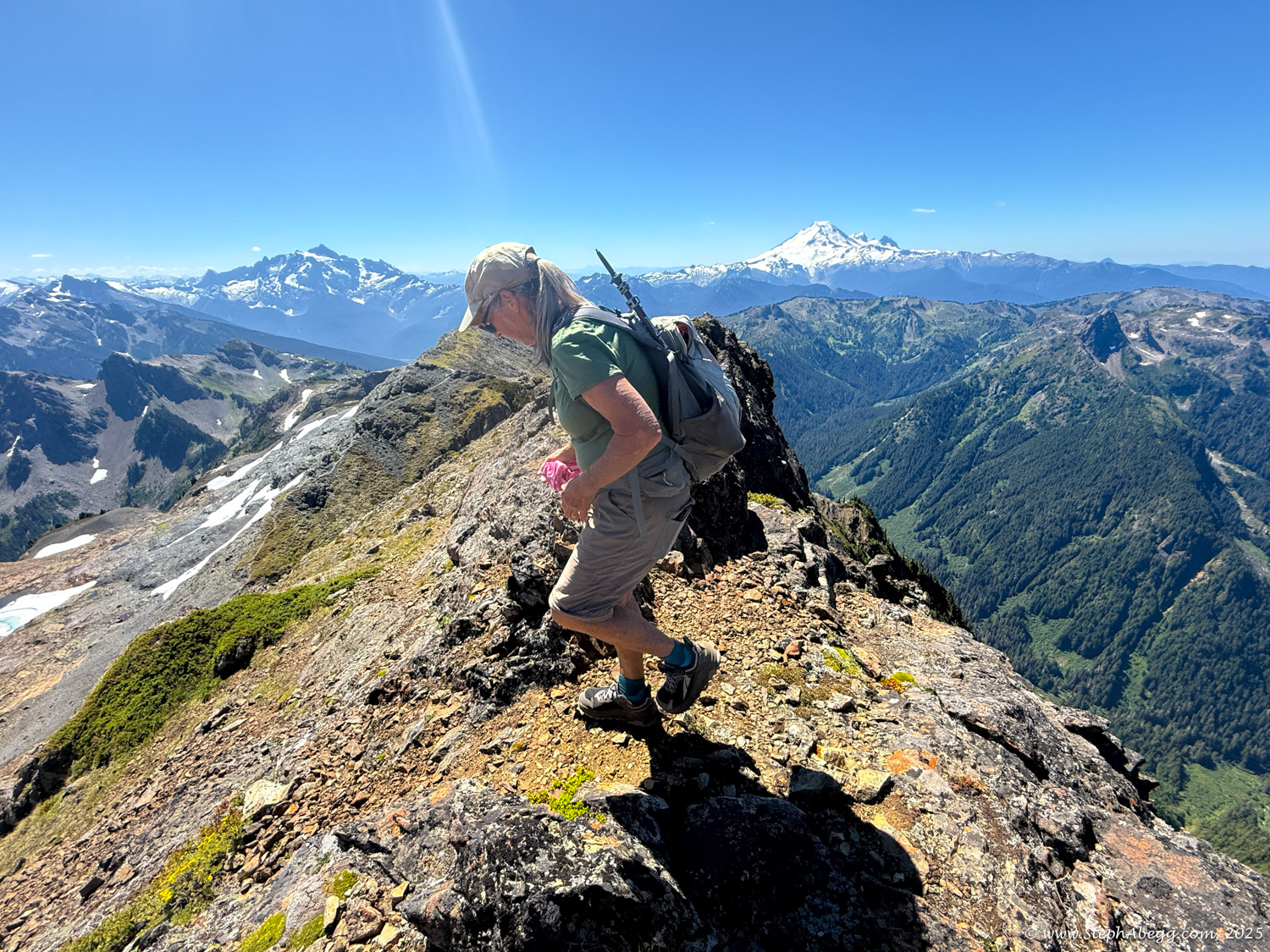
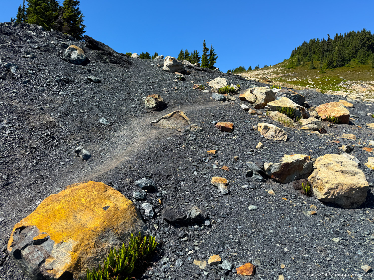
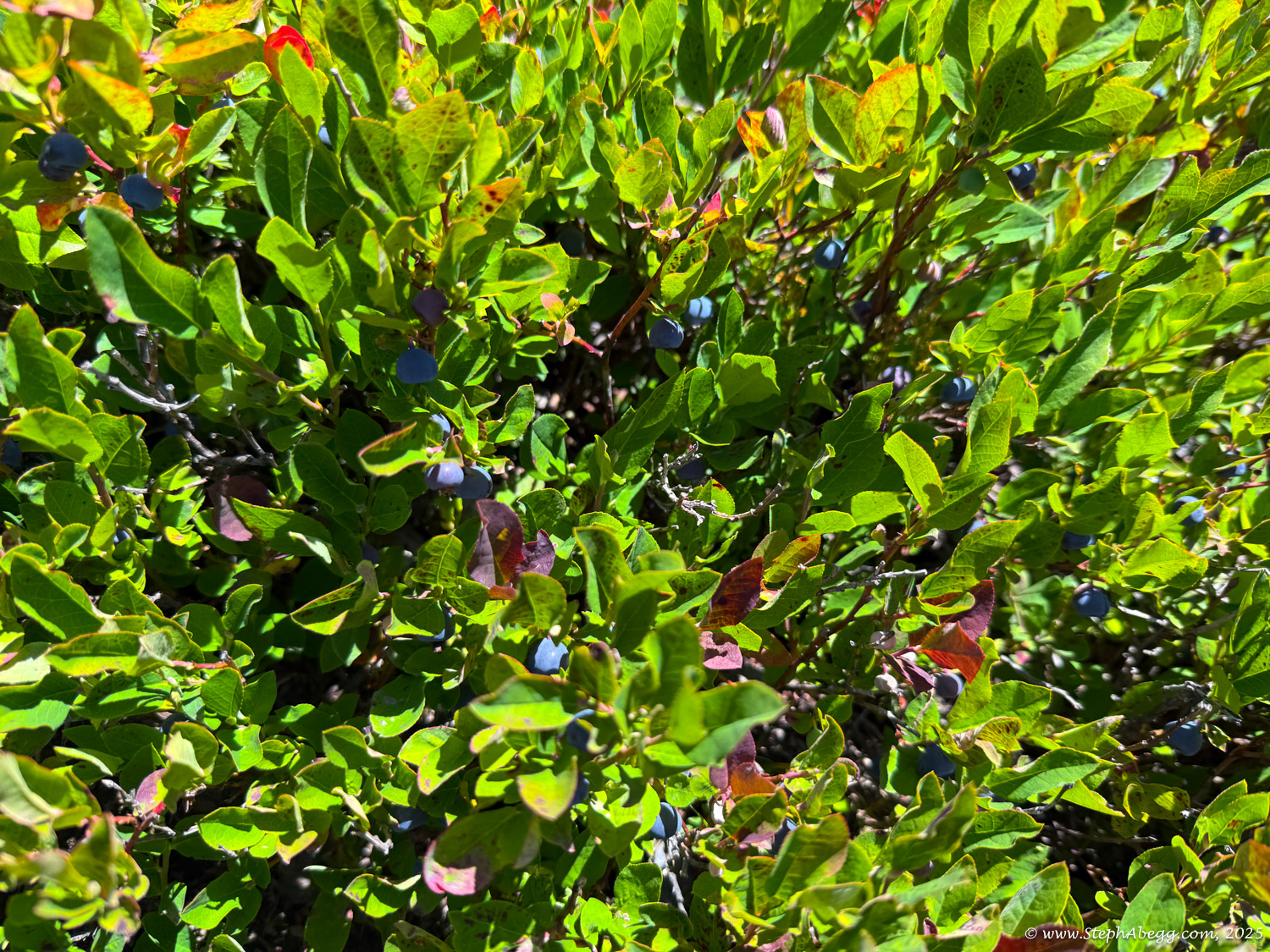
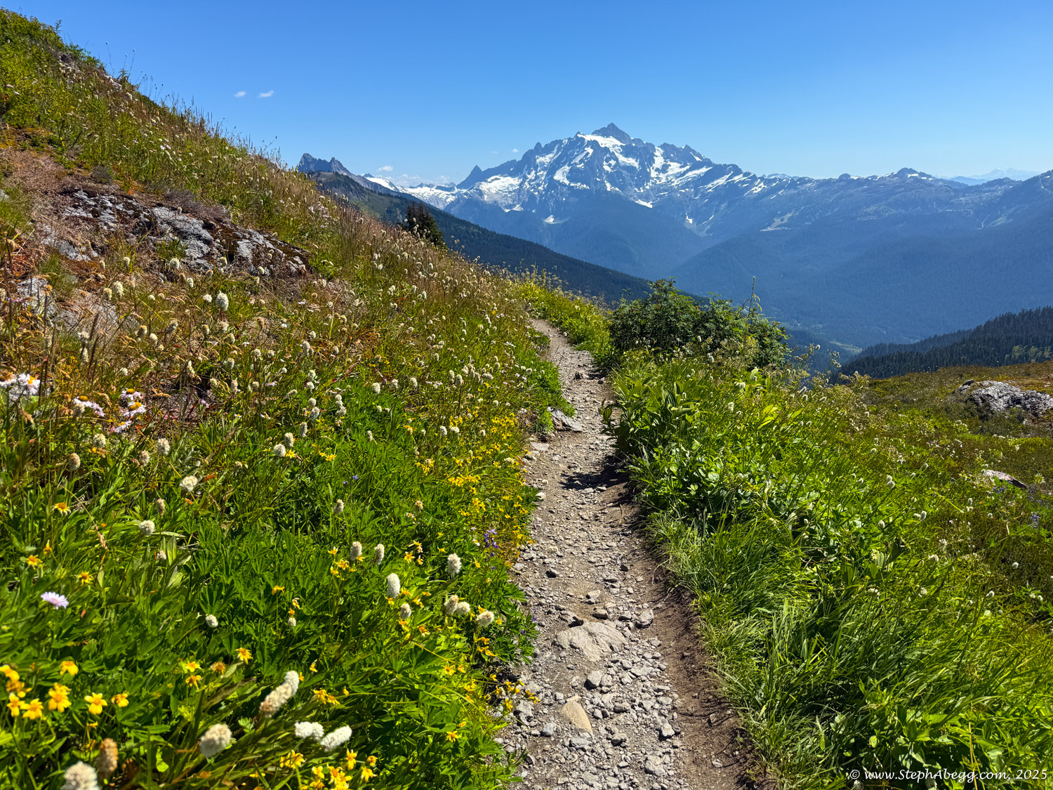
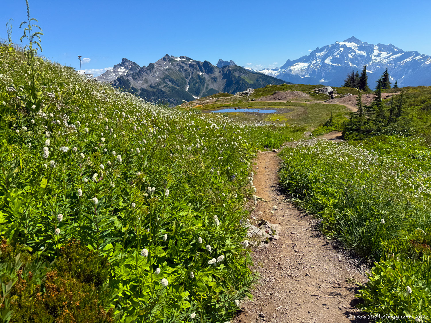
Below are some photos from the hike/climb. The autumn colors were beautiful.