Jess had come to visit from Indiana and this was a great intro to the North Cascades.
Region: Washington
Elev: 6,145 ft
Rock: Gneiss
Mode:
Date(s): July 6&7, 2008 (Sun&Mon)
Partner(s): Jess Wehrly
Trip Report
THIS TRIP REPORT IS STILL MOSTLY IN THE EMBEDDED HTML FORMAT OF MY OLD WEBSITE. MOBILE Tip: Try Landscape mode. It is generally more mobile friendly.
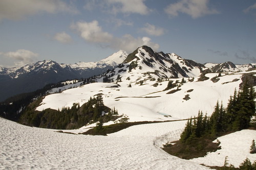
Jess traversing the snow-covered ridge towards the summit of Yellow Aster Butte, Mt. Shuksan to the left, Mt. Baker to the right. Under normal summer conditions, this is a snow-free path. The view of the snow-capped Cascades from the ridge is spectacular.
My longtime friend Jess from Indiana came to visit, and was eager to see the North Cascades. An overnight hike up to Yellow Aster Butte was an obvious choice. Yellow Aster Butte is one of my family's favorite day-hike areas; it is a round trip of about 9 miles and 2500 ft elevation gain to the summit of Yellow Aster Butte (6145 ft), a bit less if the destination is just the nearby lakes basin.
Jess and I had a wonderful adventure. Since it was a high snow year in the mountains of the Pacific Northwest, we hit snow on the trail at about 1.5 miles, pulling out the ice axes and slogging across snow slopes for the remainder of the hike (from the way Jess handled the slippery snow and ice axe, you would have thought she was a native North Cascadian!). We had the beautiful Yellow Aster Butte basin to ourselves. We slept out under the stars, and woke up to a brilliant morning; we decided to climb the snowy ridge of Yellow Aster Butte before hiking out. We enjoyed the spectacular views of the snow-capped Cascades and the early summer wildflowers along the trail.
Below are some photos and more detailed information from our gorgeous 2-day adventure.
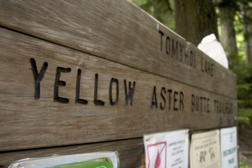
The sign at the trailhead (3600 ft) for Yellow Aster Butte Trail No. 686, which is about 4.5 miles along the Twin Lakes Road off of Highway 542 13 miles beyond Glacier.
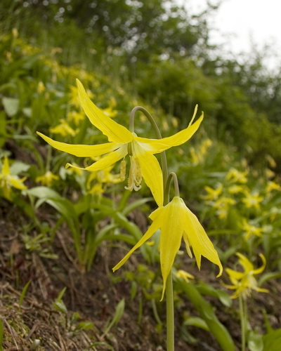
Glacier Lilies along the trail, indicating that it wasn't long since the snow melted.
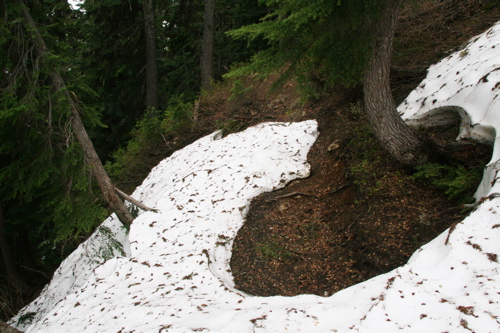
Snow on the trail, about 1.5 miles from the trailhead. (ie. that puts the snow as of early July 2008 at around 4500 ft).
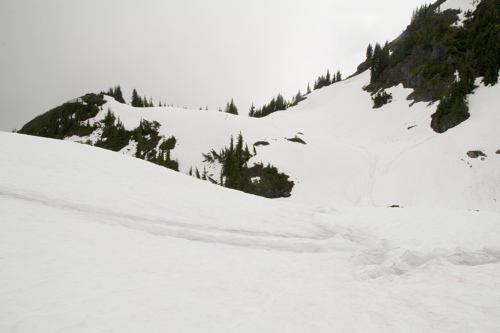
A snowy approach. There were no signs of other parties after we hit snow on the trail, (although we had seen a few parties that were turning back due to the unusually low snow), so we enjoyed having the usually-popular day-hike spot to ourselves.
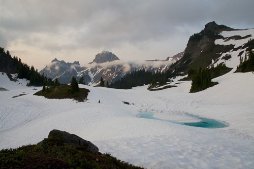
Snowy lake basin by Yellow Aster Butte. Most of the lakes were either still frozen or only partially melted.
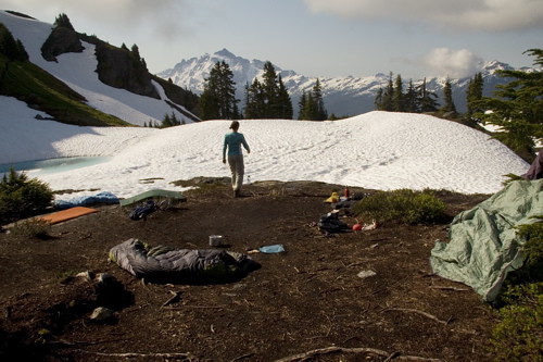
Our camp on a snow-free knoll in the lakes basin under Yellow Aster Butte. We had a nice view of Mt. Shuksan through the trees.
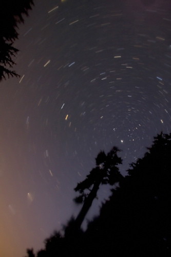
We slept out under the stars. I just placed my camera on the ground pointing upwards…..
Looking north towards American Border Peak and Canadian Border Peak. Yellow Aster Butte is on the right.
The summit of Yellow Aster Butte is on the left. We approached via the ridge, which was mostly snow-covered (although usually in the summer it is a snow-free trail to the summit).
Jess traversing the snow-covered ridge towards the summit of Yellow Aster Butte, Mt. Shuksan to the left, Mt. Baker to the right. Under normal summer conditions, this is a snow-free path. The view of the snow-capped Cascades from the ridge is spectacular.
Steph on the approach to the summit of Yellow Aster Butte (6145 ft). A fun and beautiful hike.
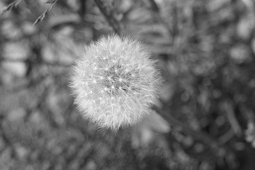
Dandelions along the trail. There were a lot of early summer flowers on the lower section of the trail.
Useful beta. Updated route information. Corrections. Historical notes. Interesting facts. No fluff please. Please do not put links in your comment, as my spam filter will filter those comments out.