Enchantments Thru-Hike (~20 miles, ~7000 ft gain, ~5000 ft loss, 9 hours)

Enchantments Thru-Hike

Route:

Hike

~20 miles, ~7000 ft gain, ~5000 ft loss, 9 hours

A gorgeous thru-hike of the Enchantments.

Region: Washington
Elev: 1,300 - 7,841 ft
Rock type: Granite
Type: 
Date(s): July 4, 2025 (Fri)
Partner(s): solo

Map

CLICK TO ENLARGE

Intro

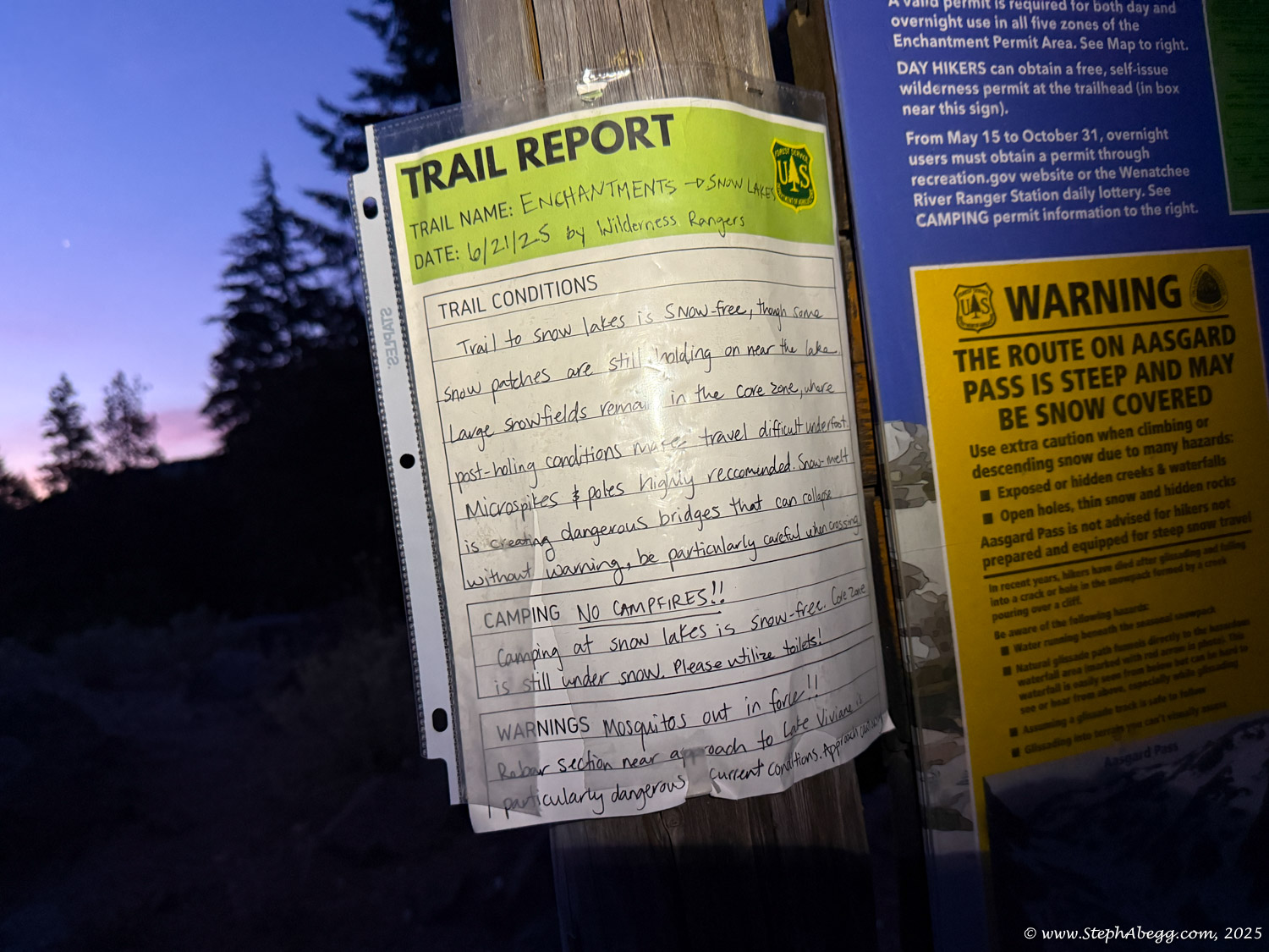
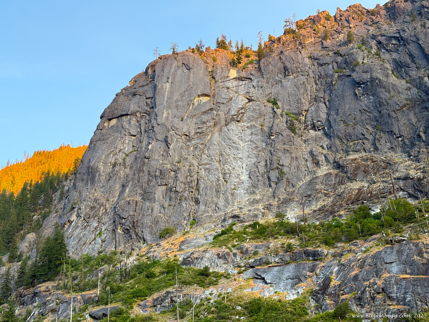
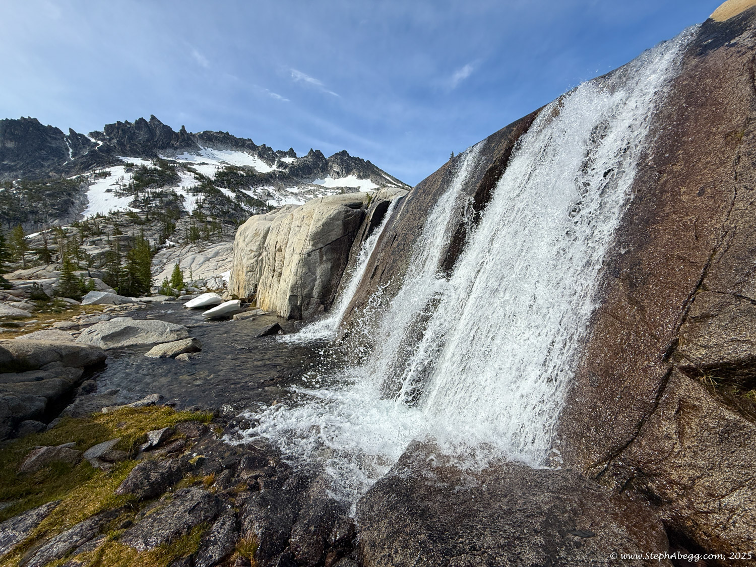
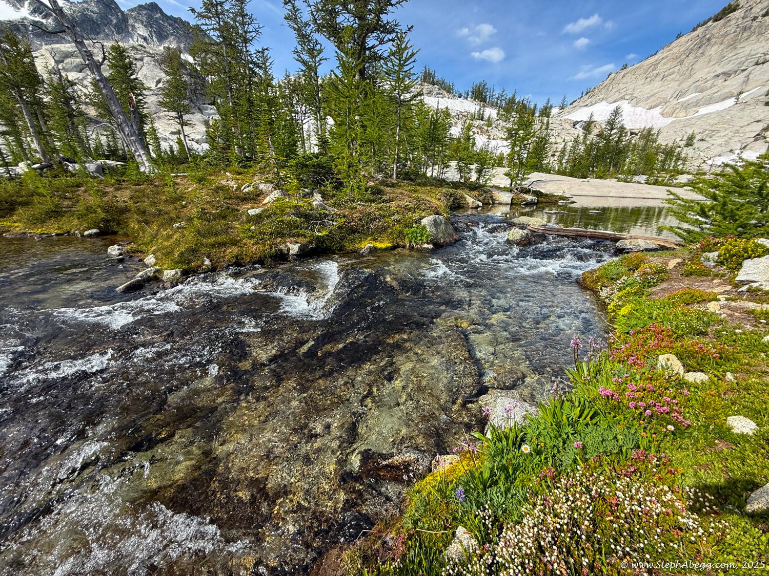
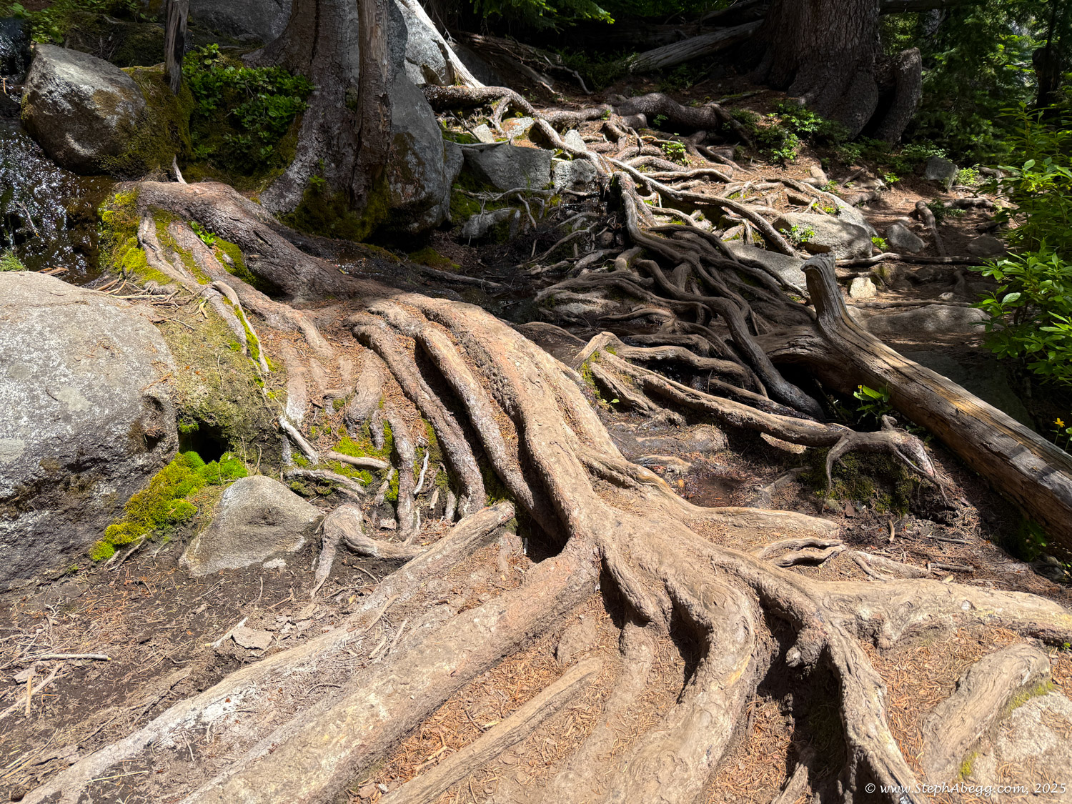
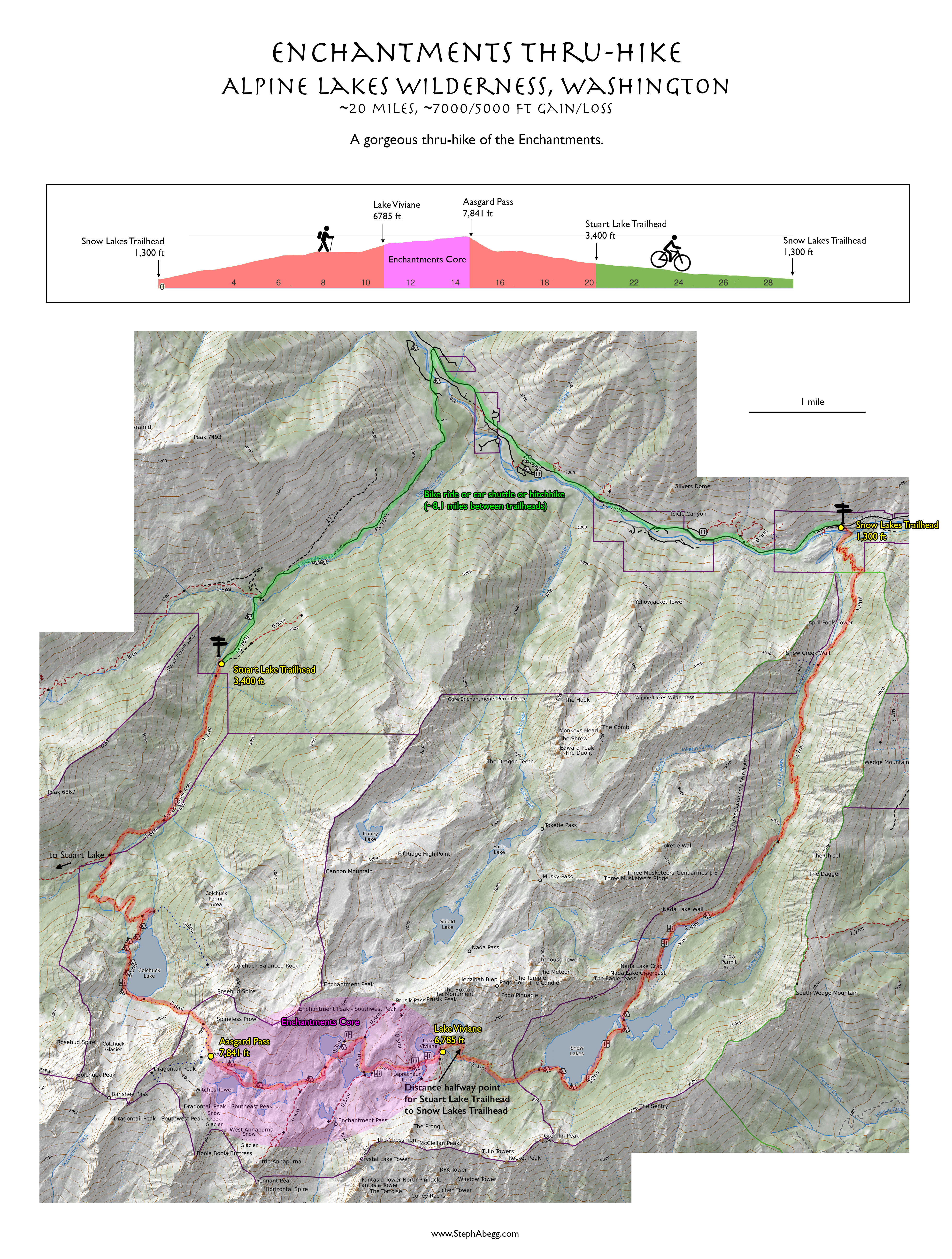
The Enchantments is a slice of hiking paradise. Tucked within the Alpine Lakes Wilderness of Washington State, it’s a stunning landscape of alpine lakes, jagged peaks, and cascading waterfalls. The only way to visit is by hiking—no roads lead here. There are two trailheads, and from either starting point, it’s a long, difficult, and strenuous trek to reach the heart of the Enchantments.

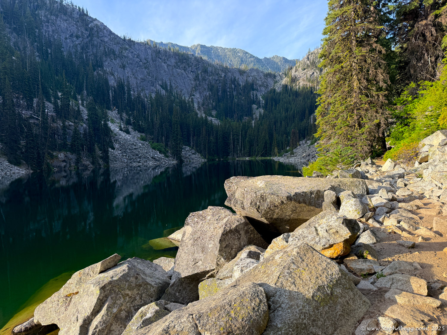
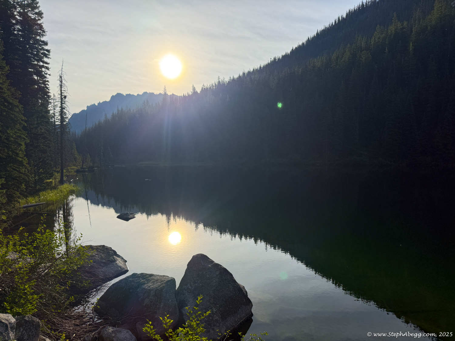
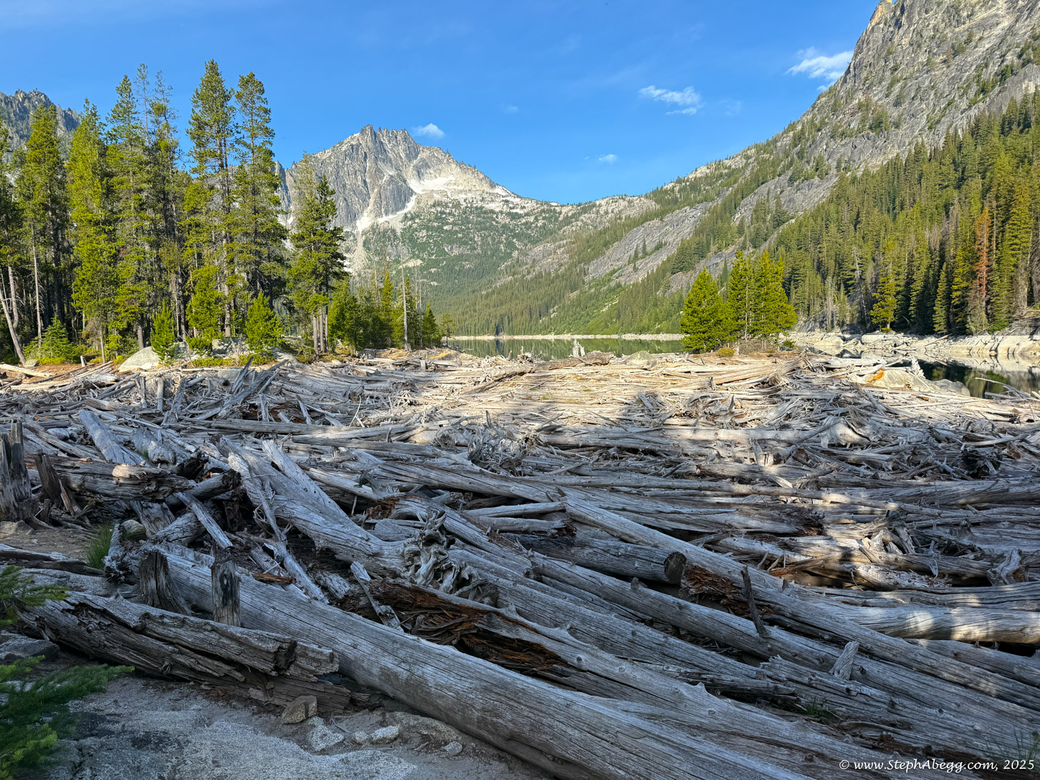
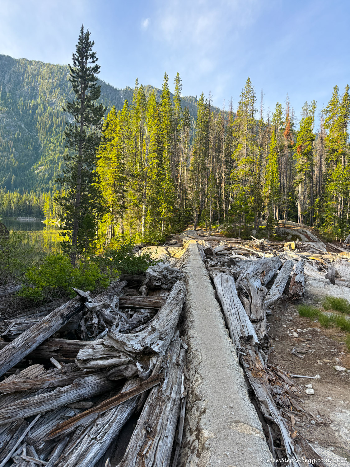
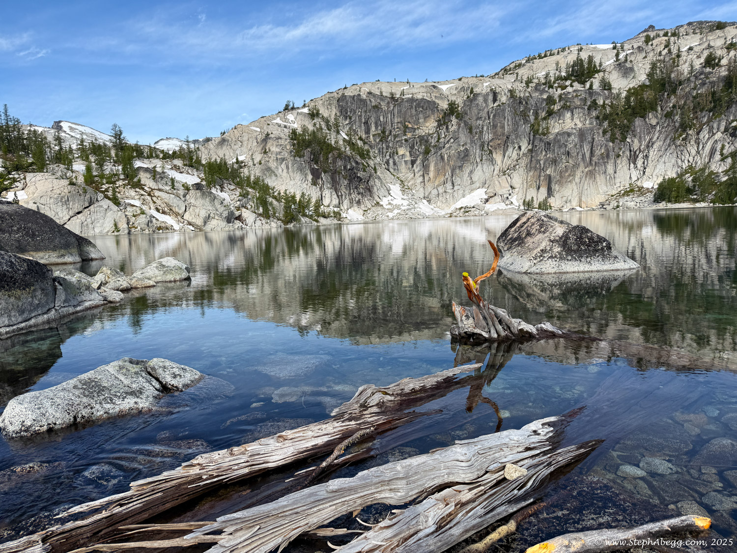
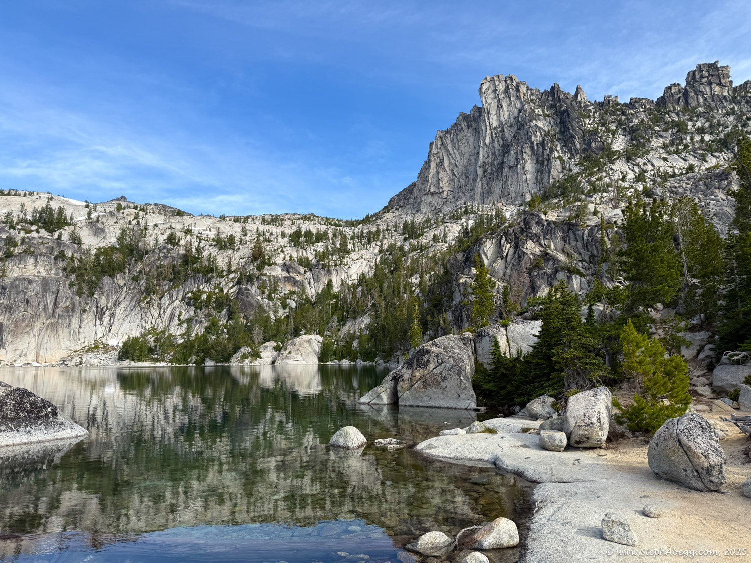
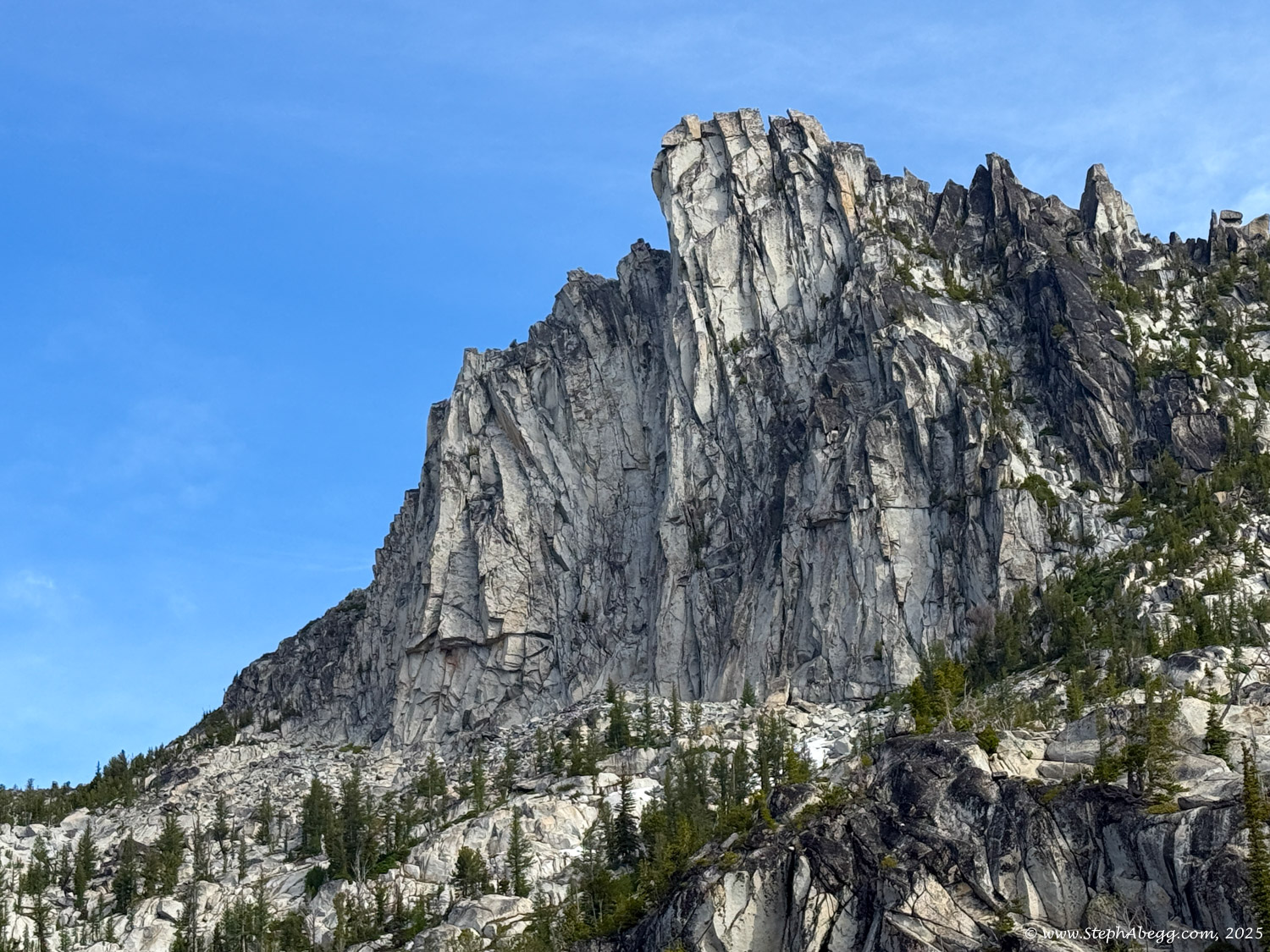
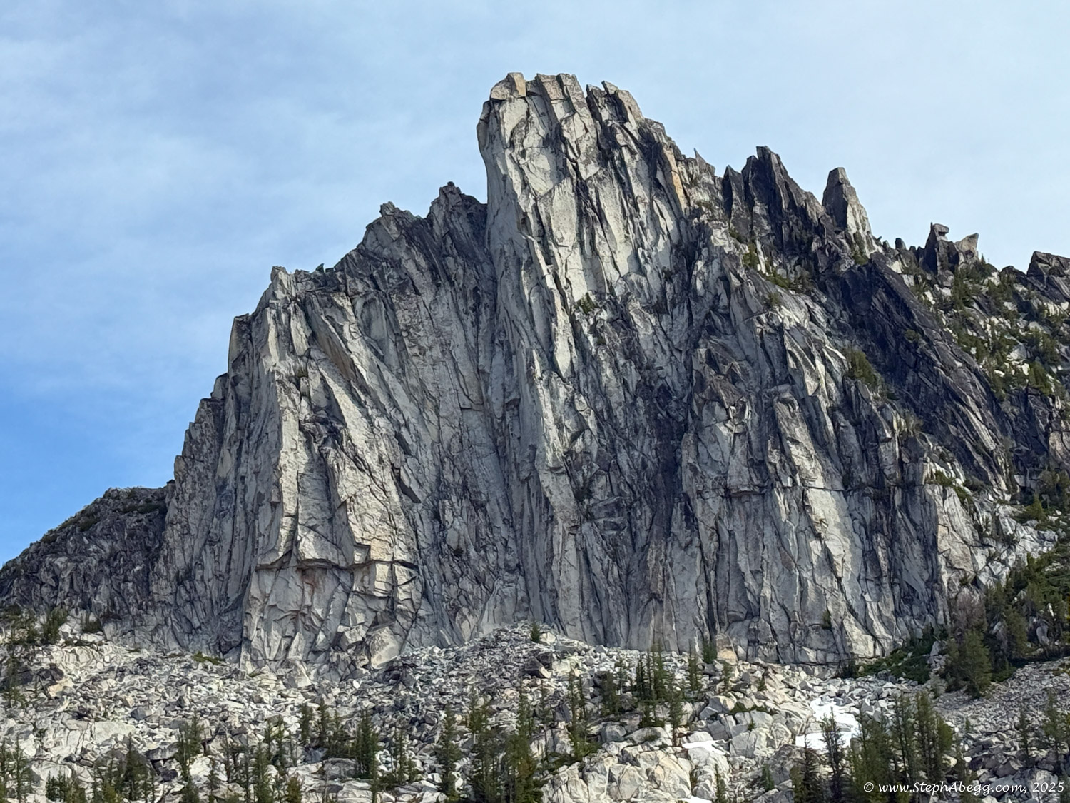
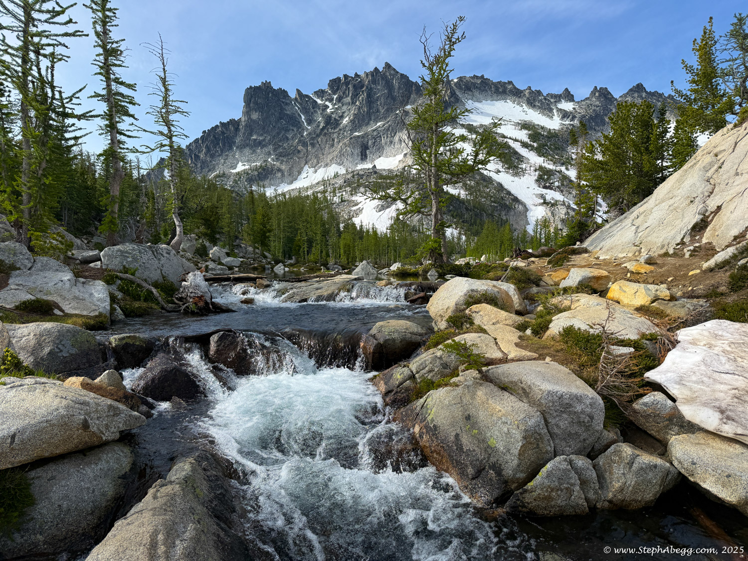
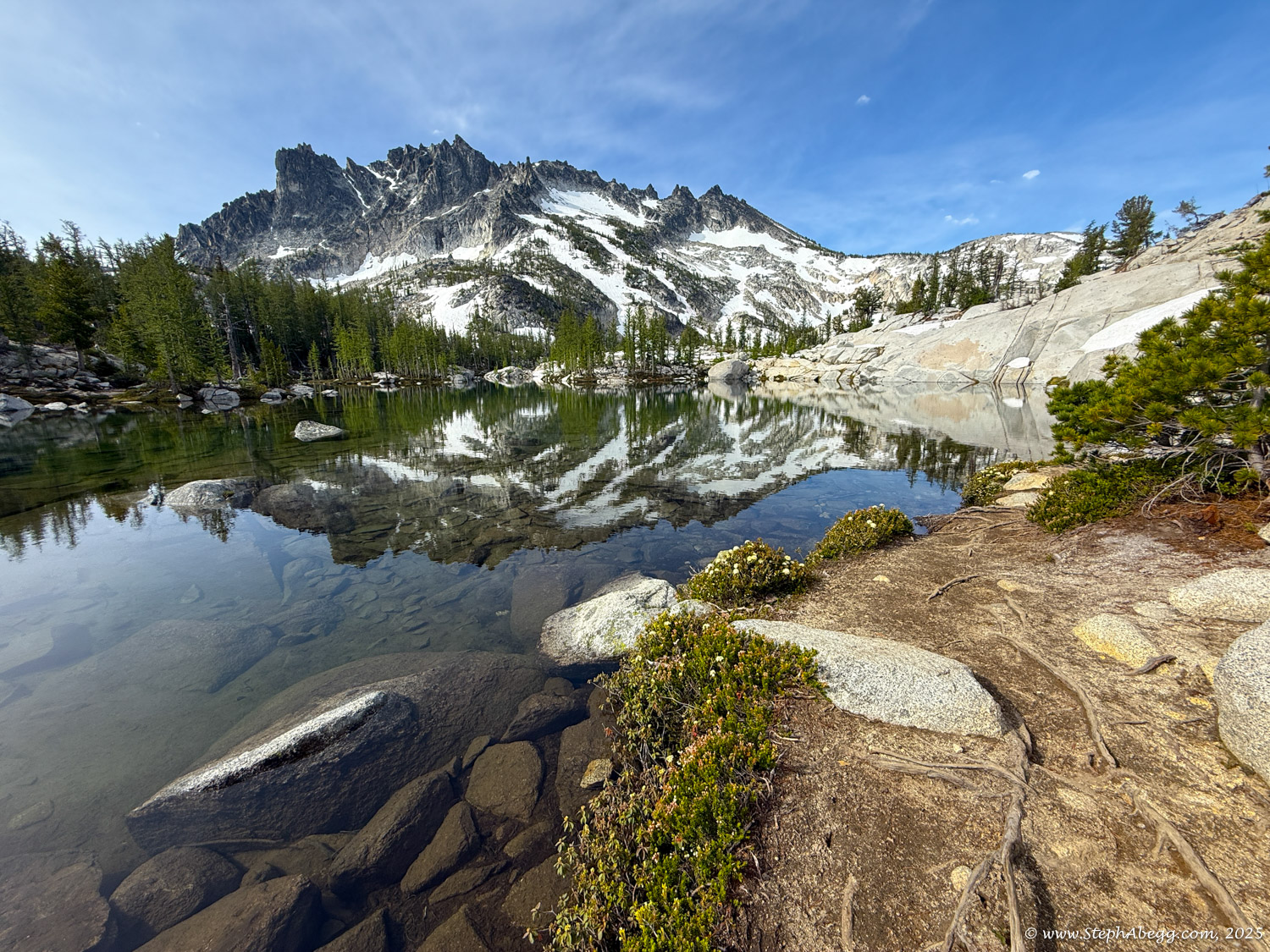
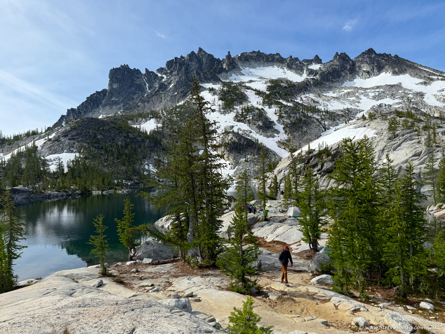
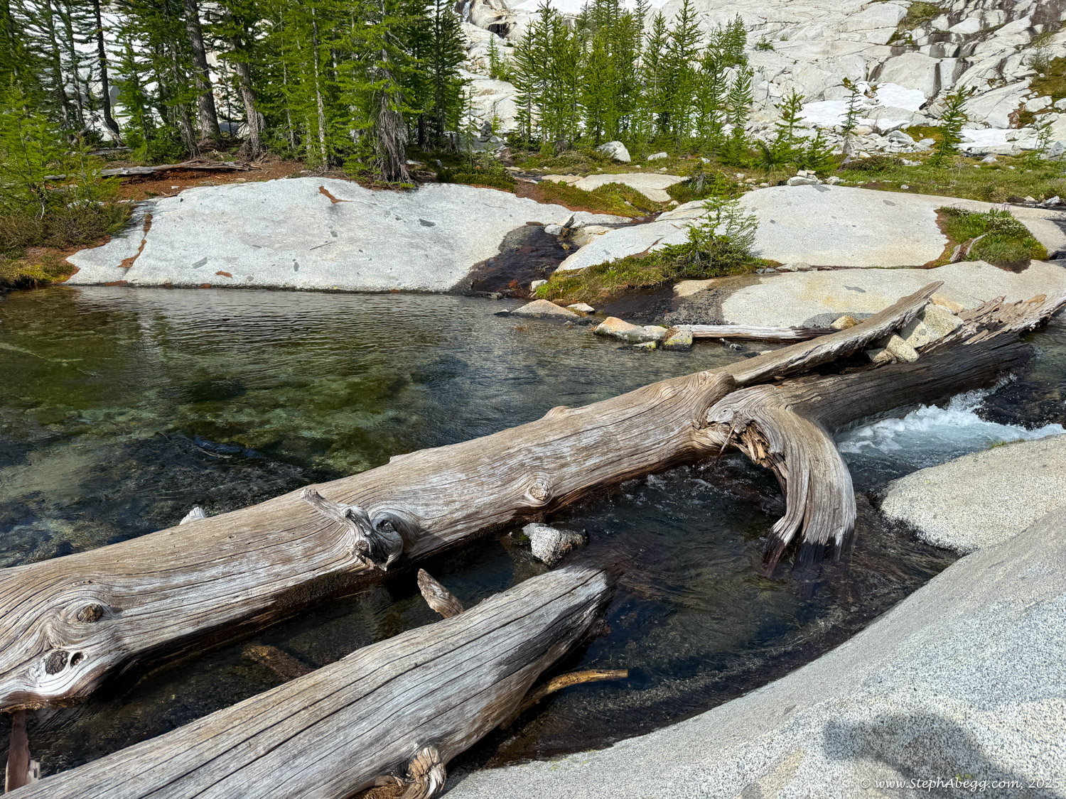
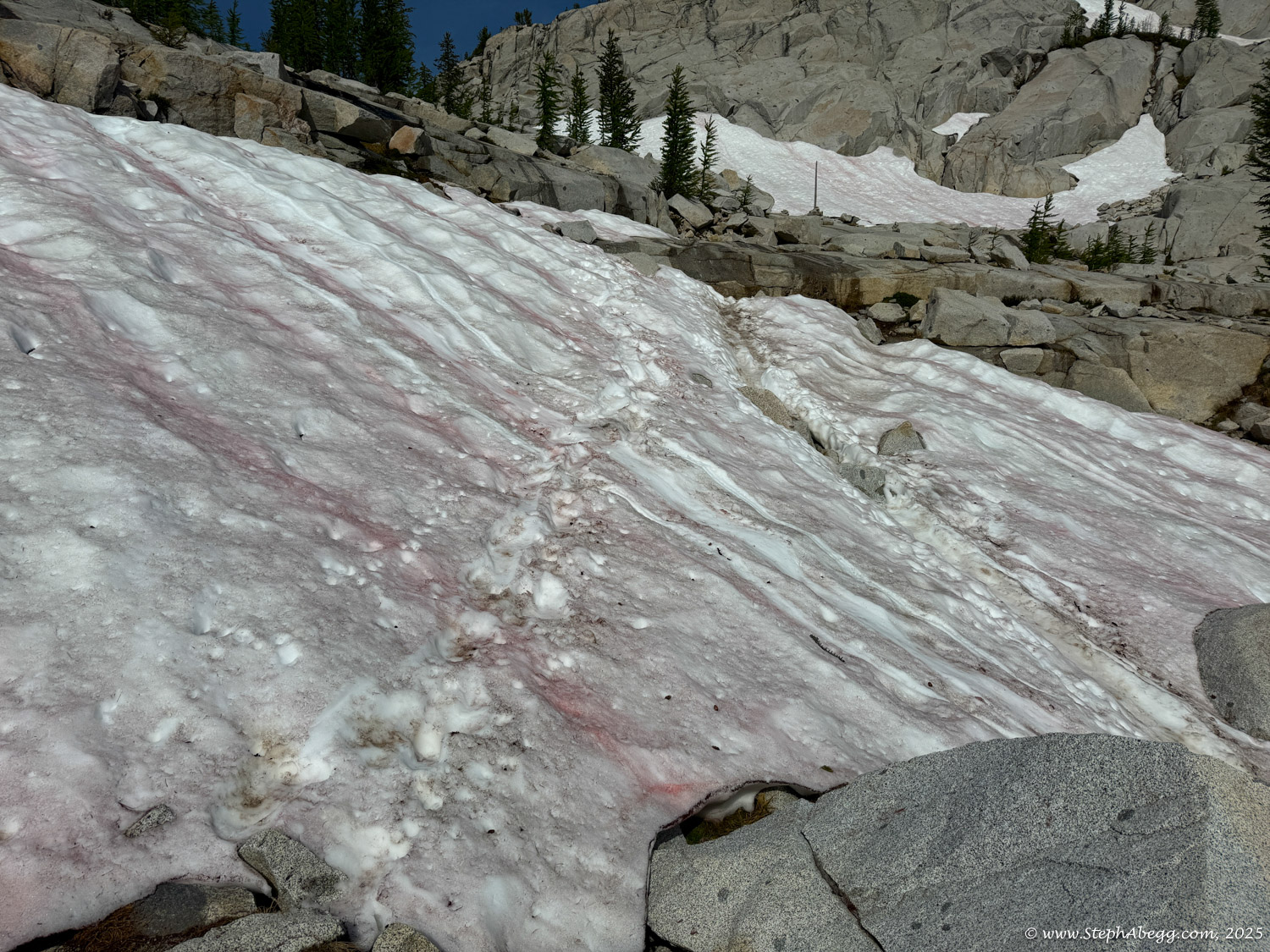
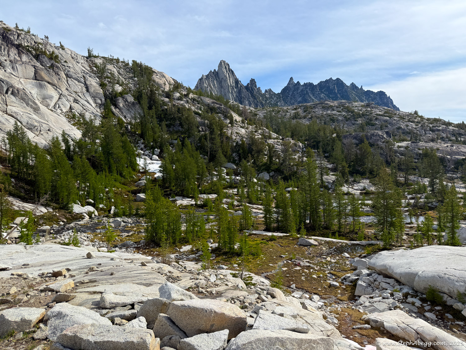
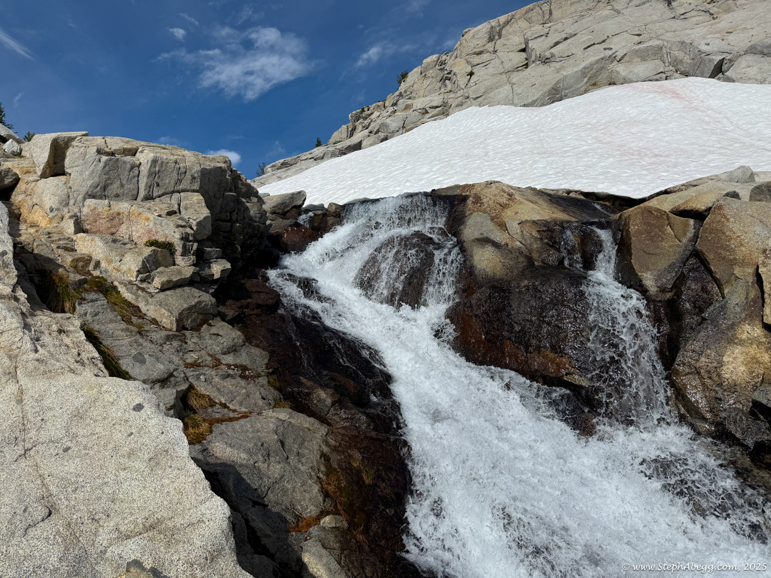
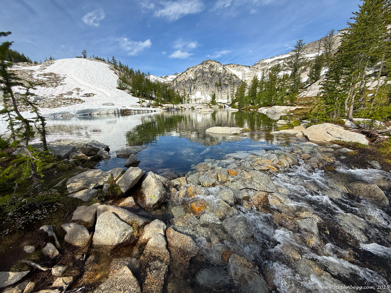
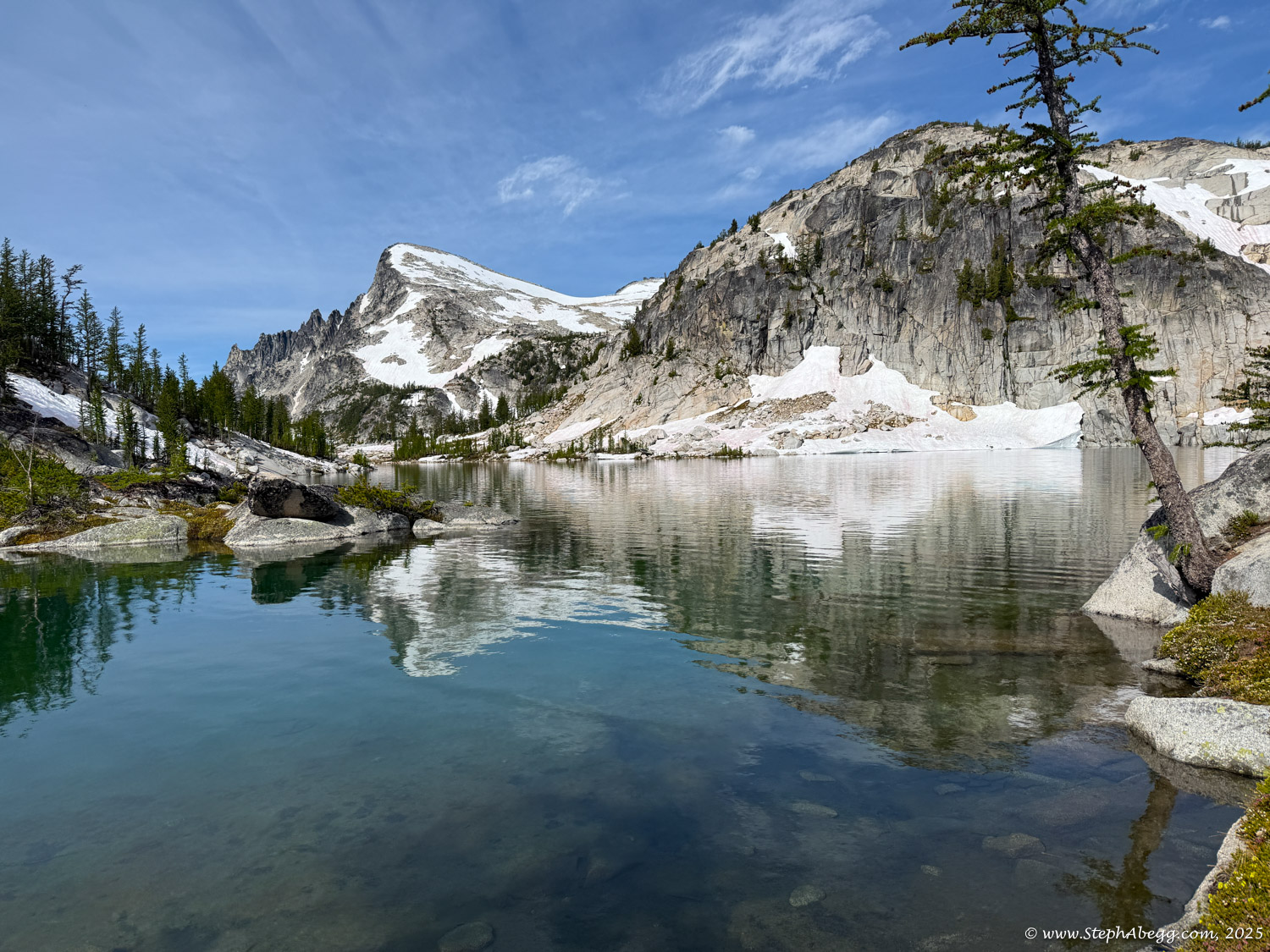
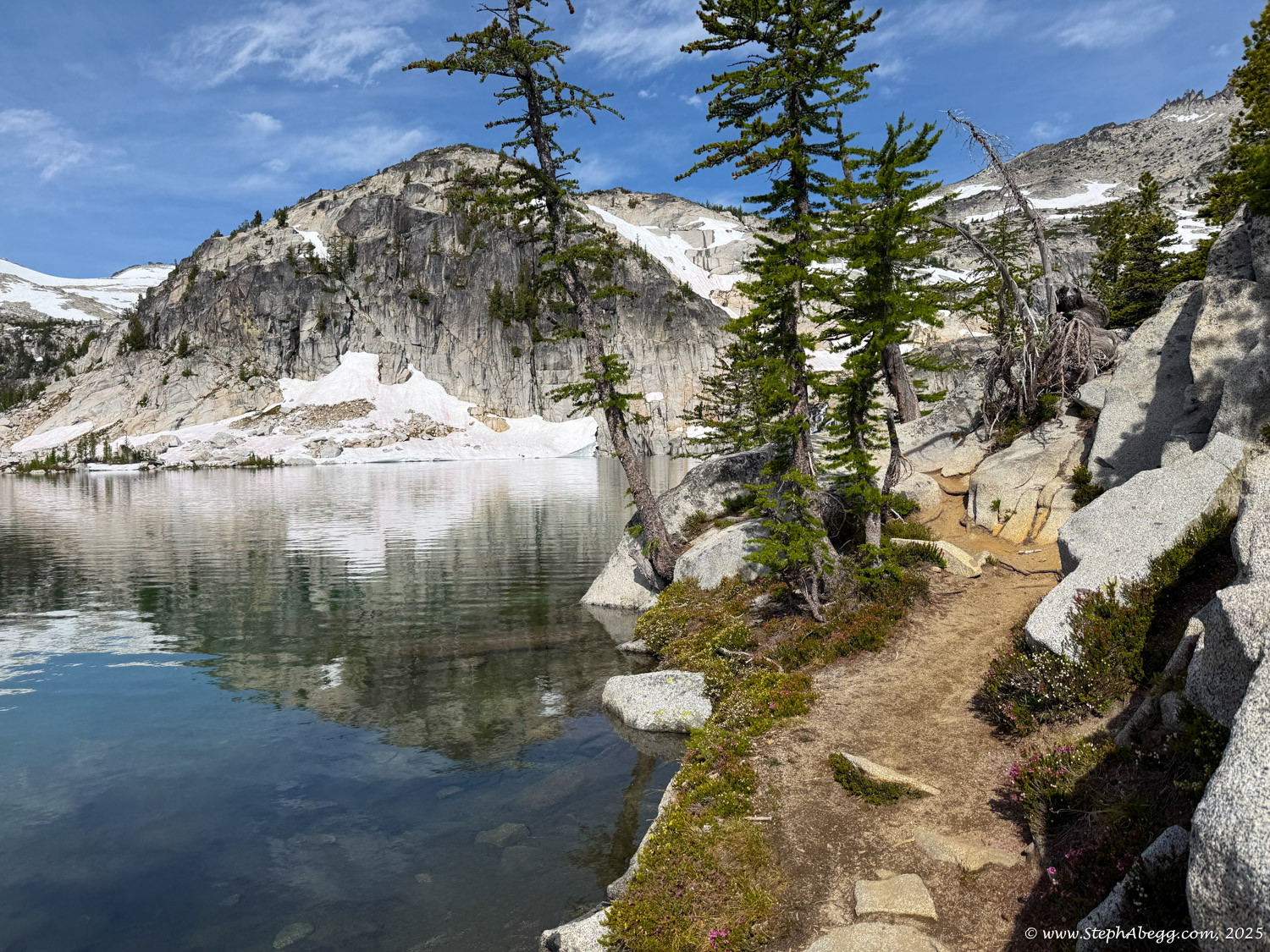
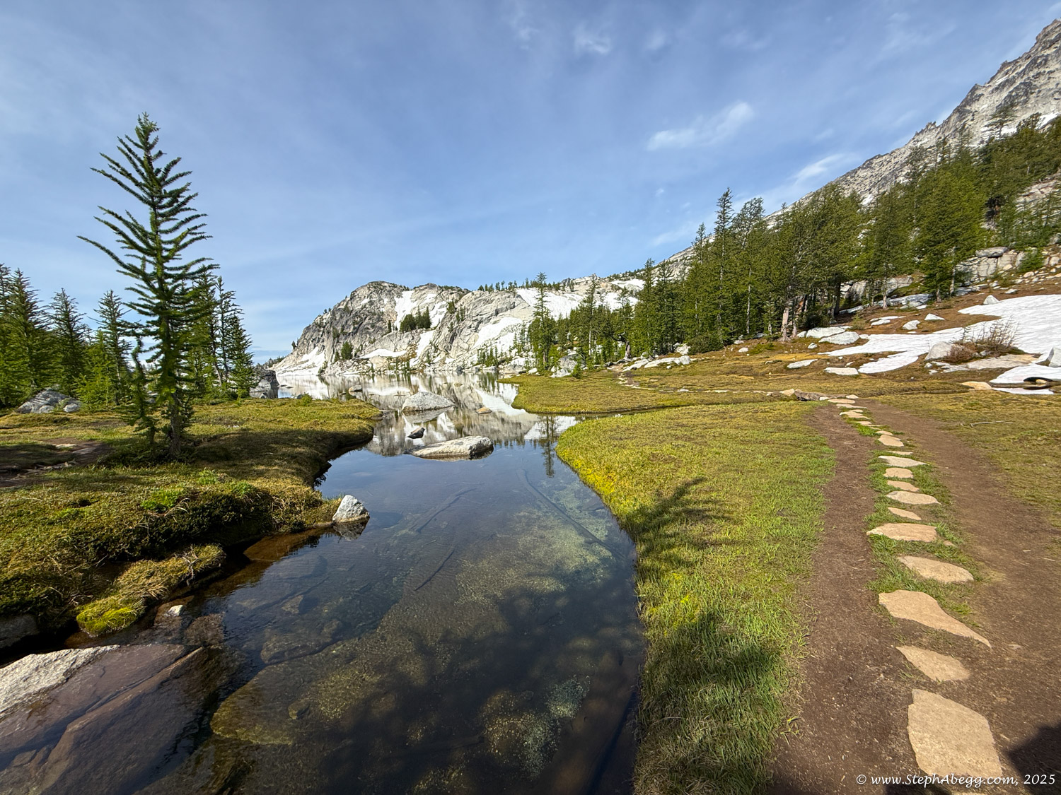
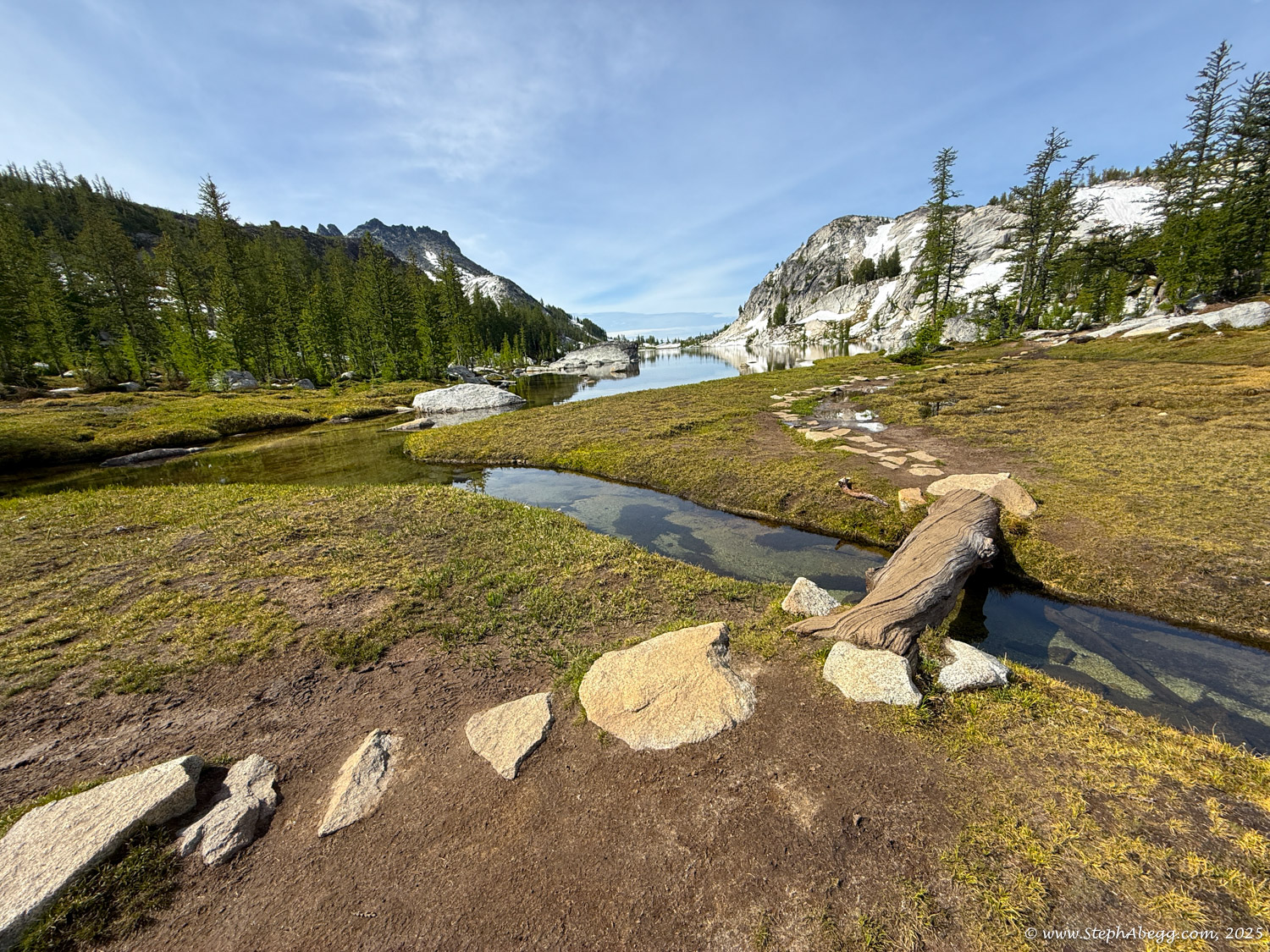
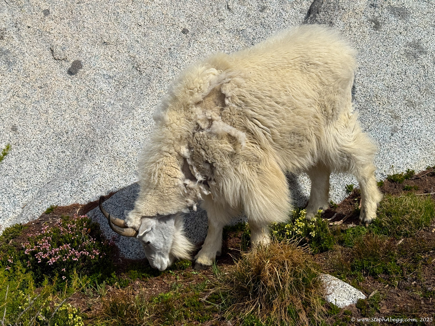
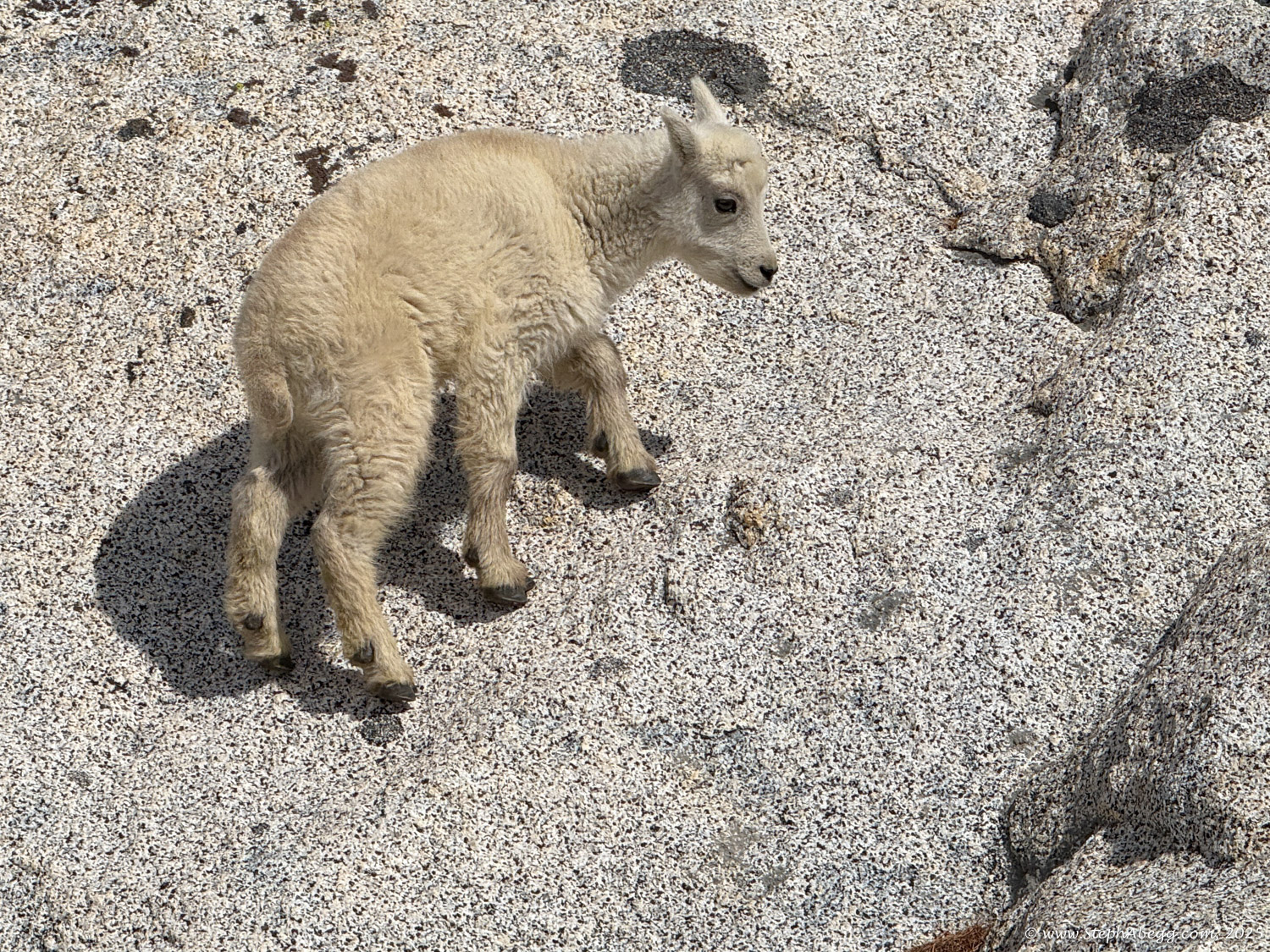
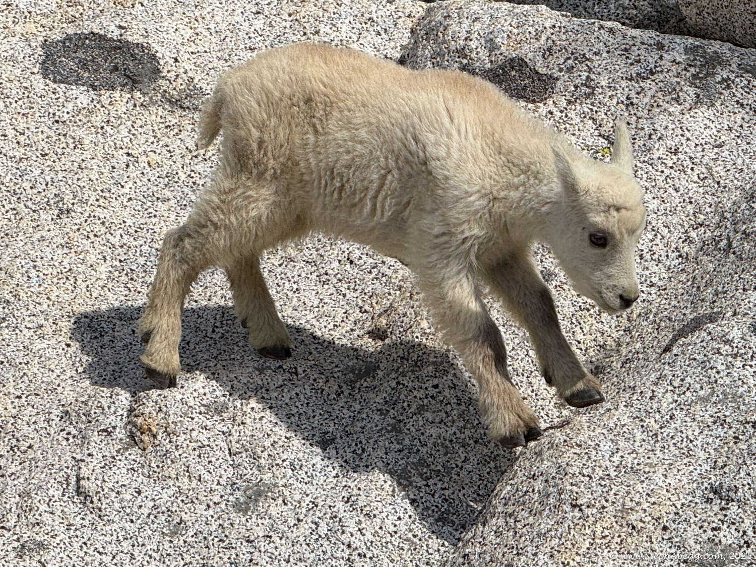
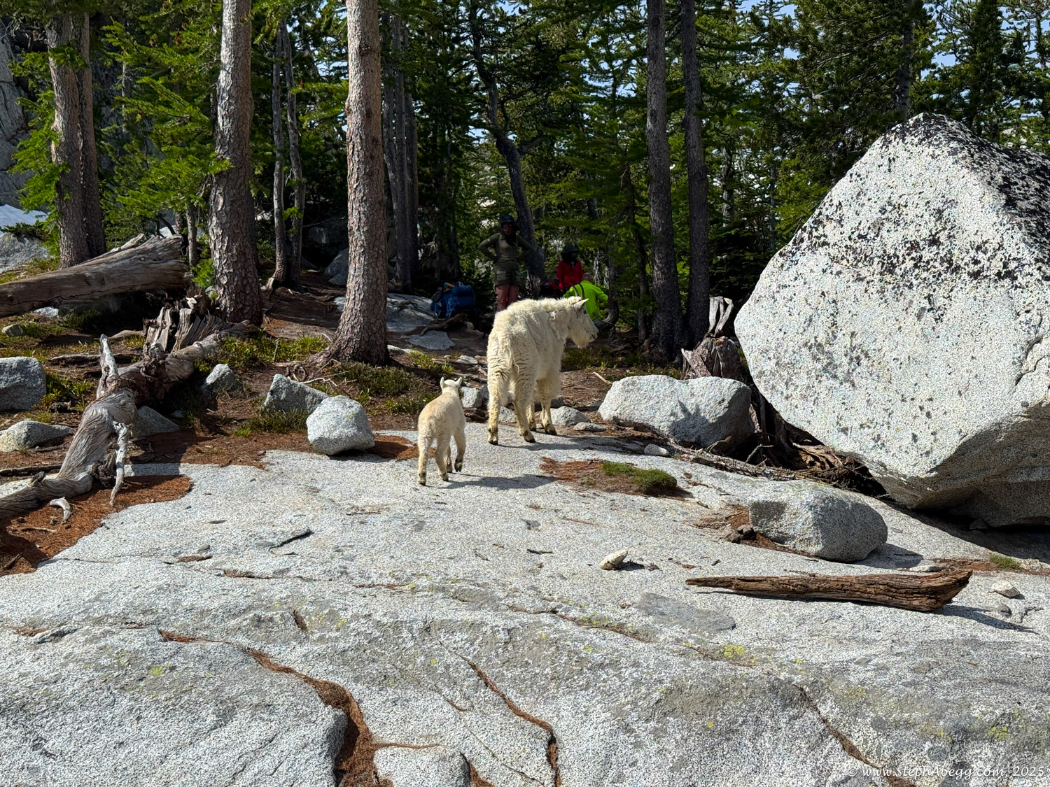
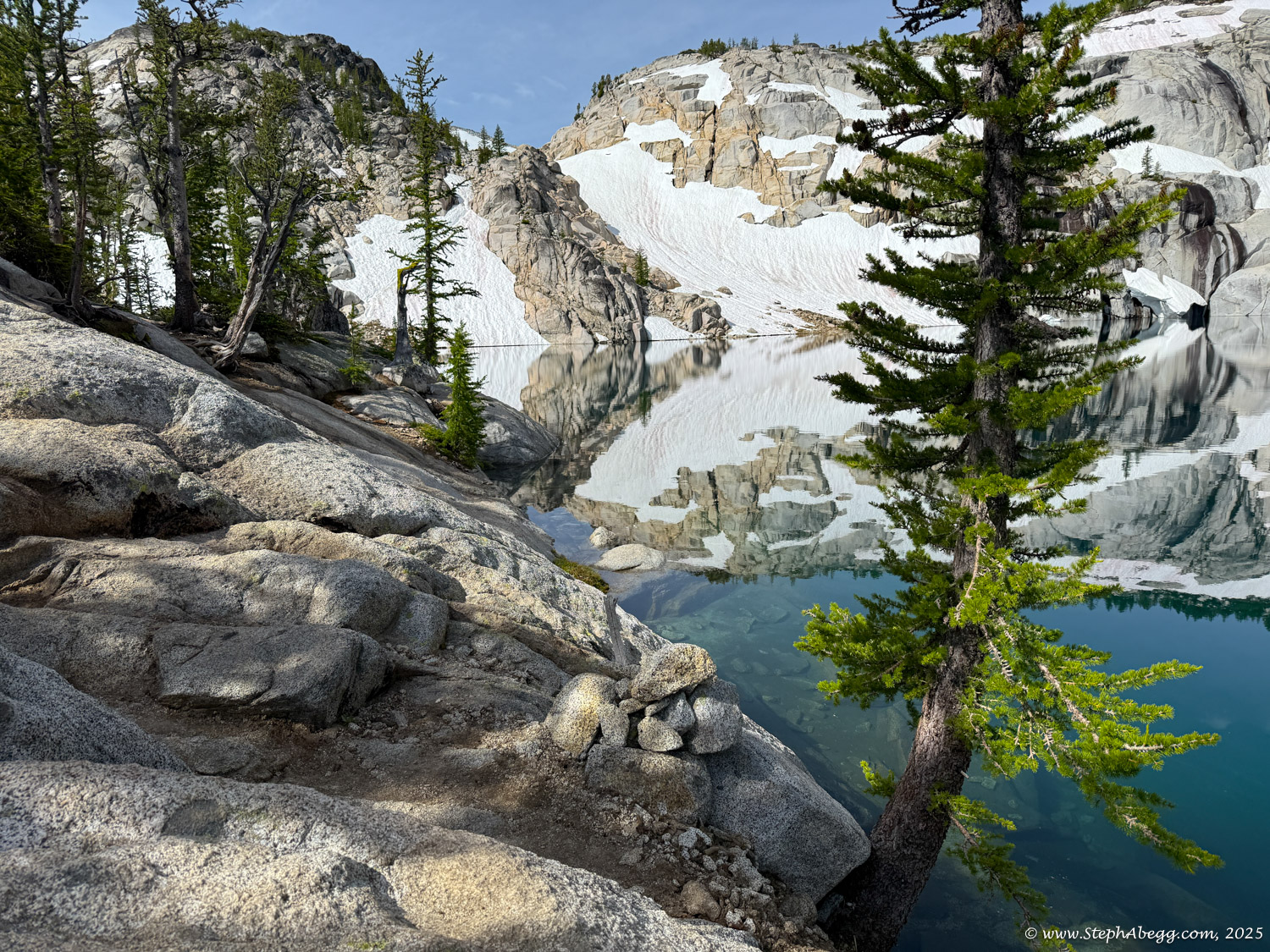
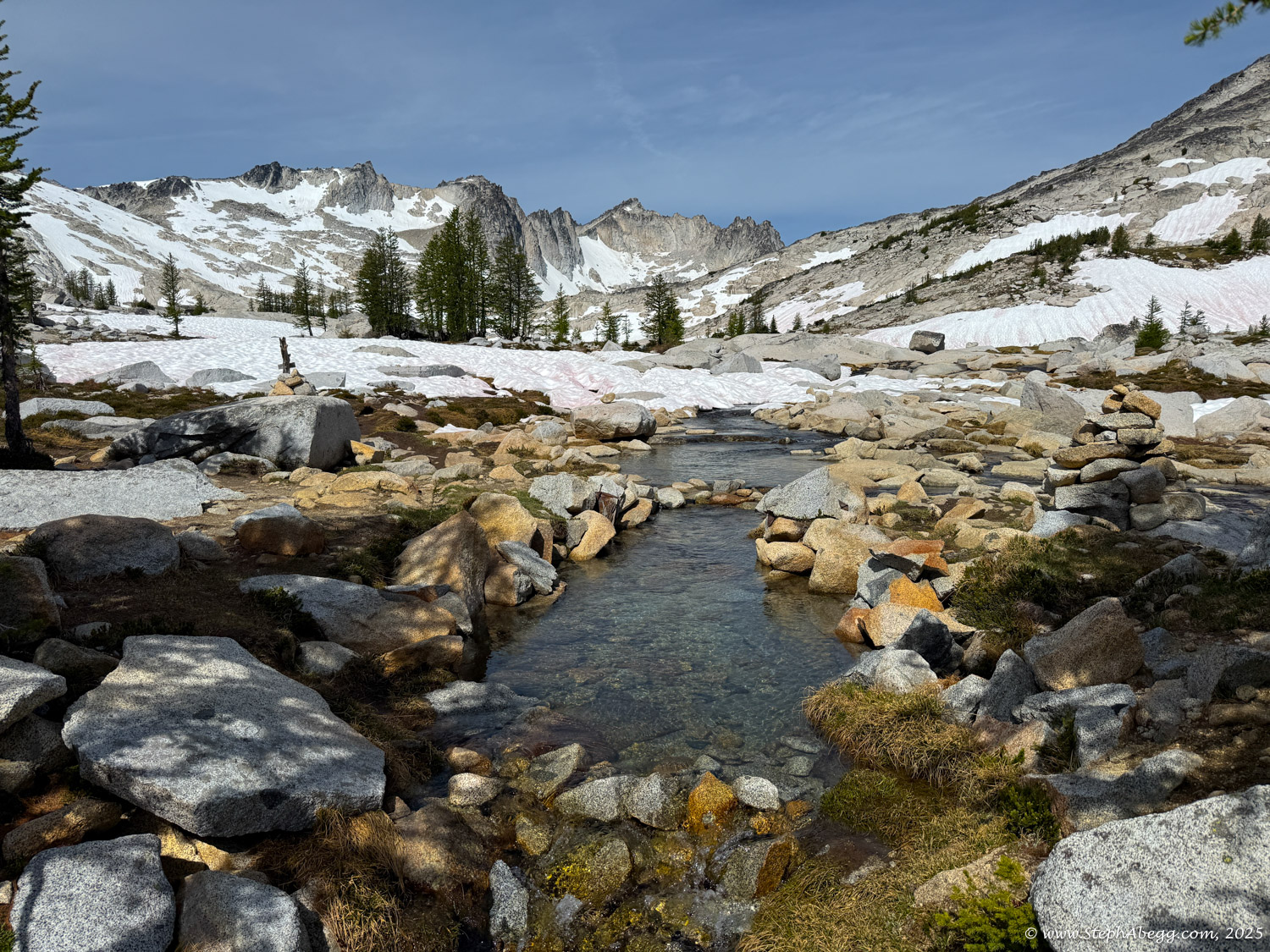
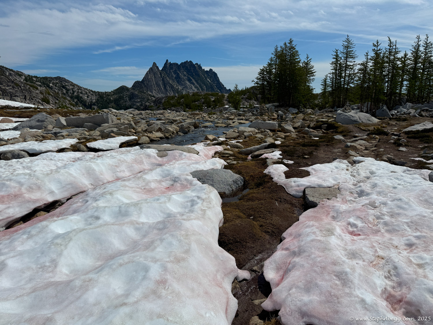
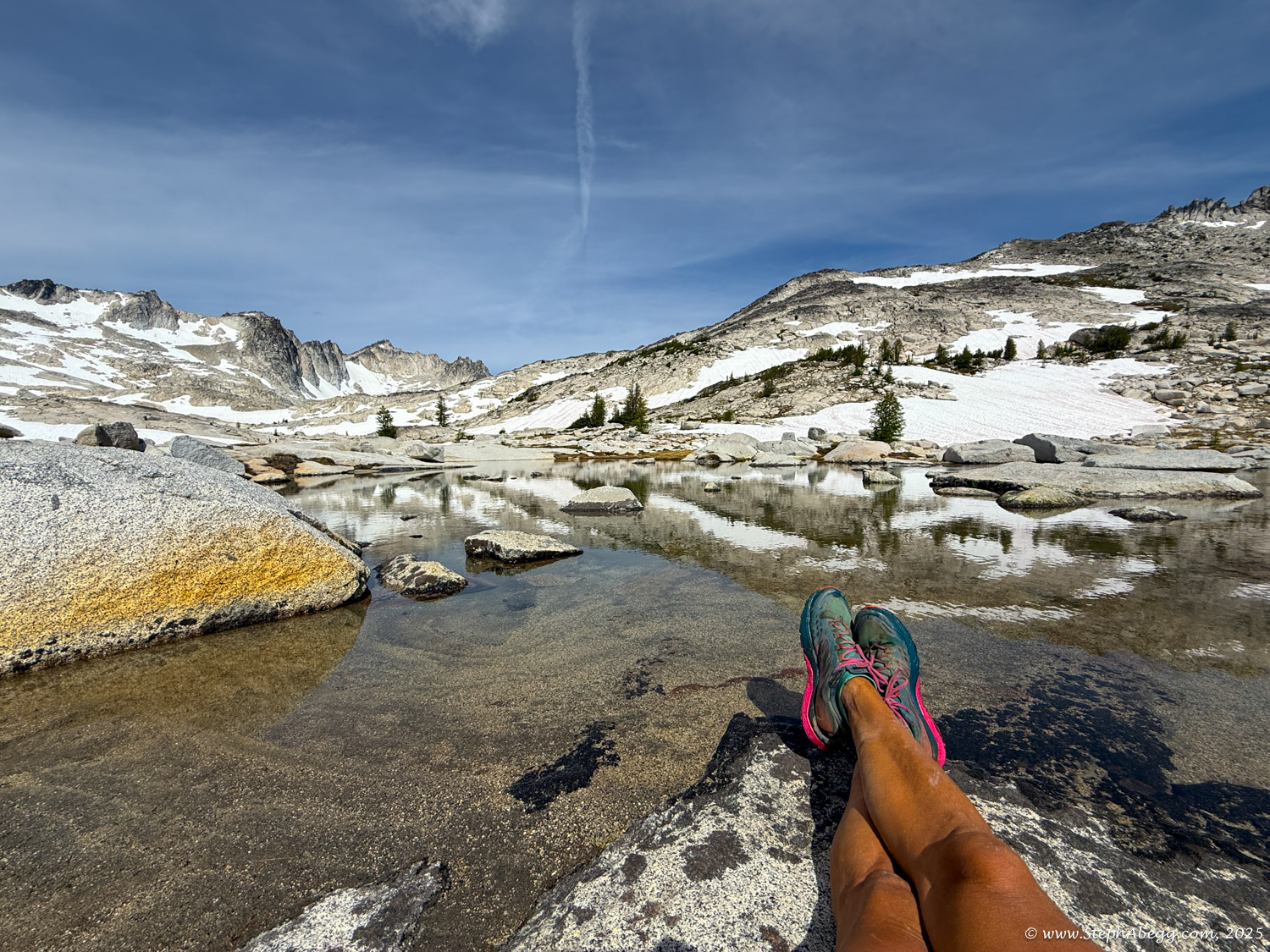
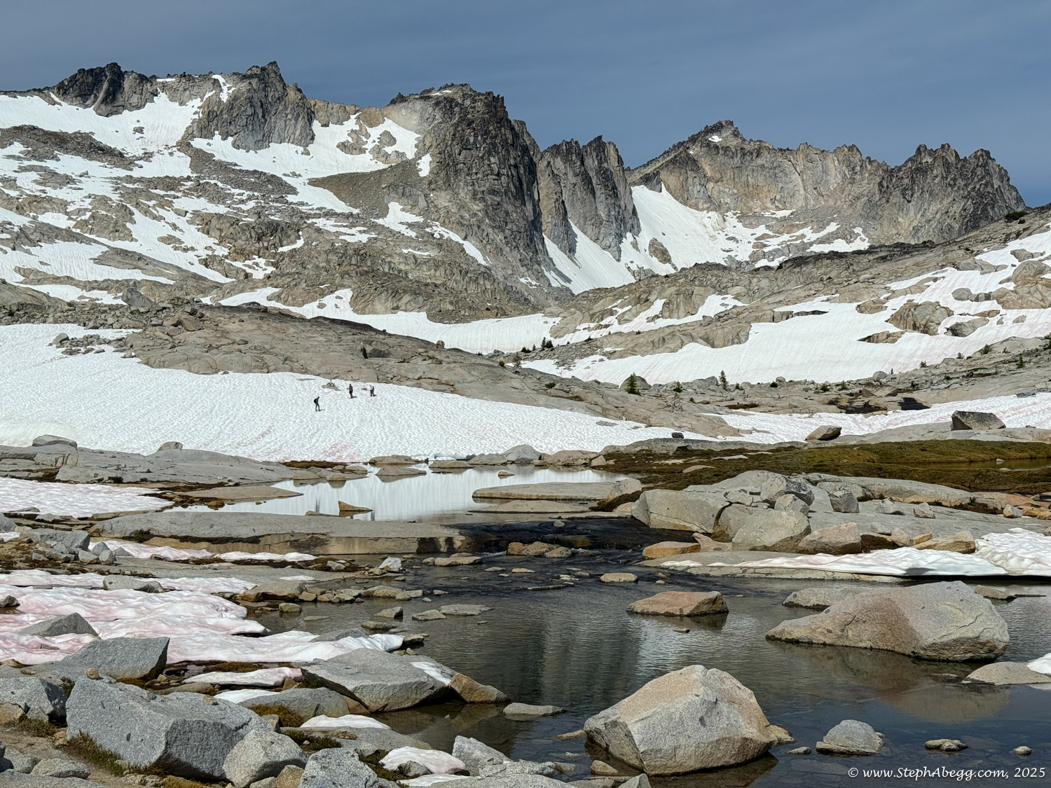
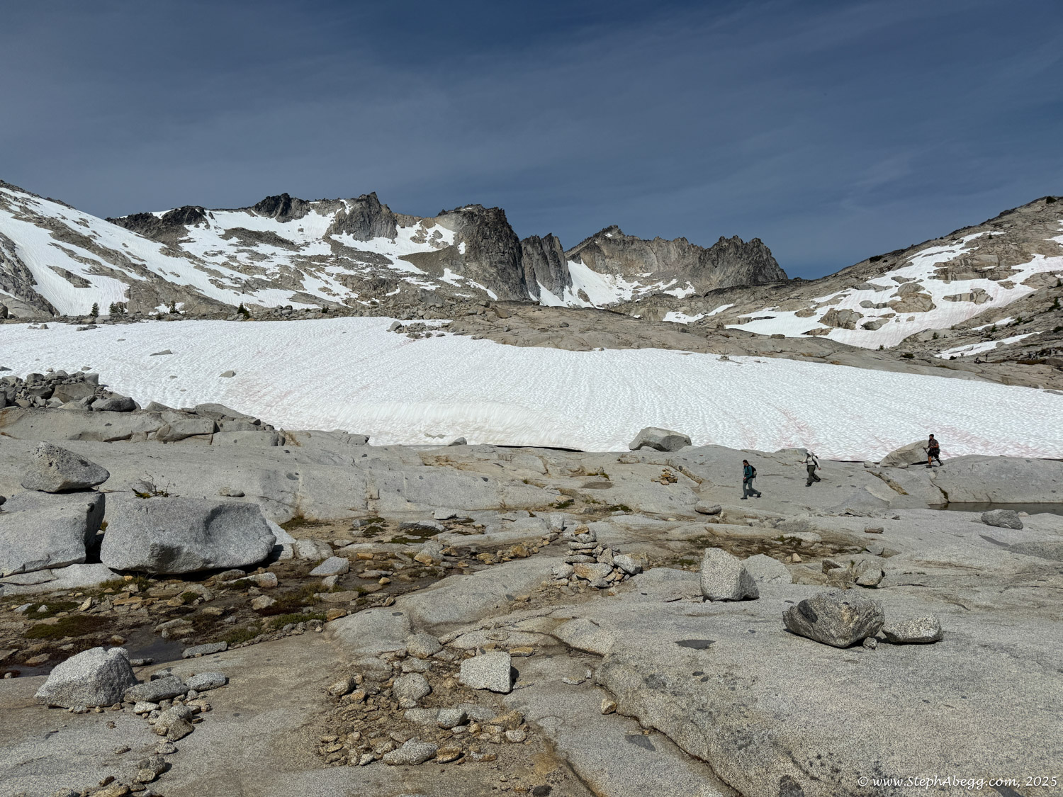
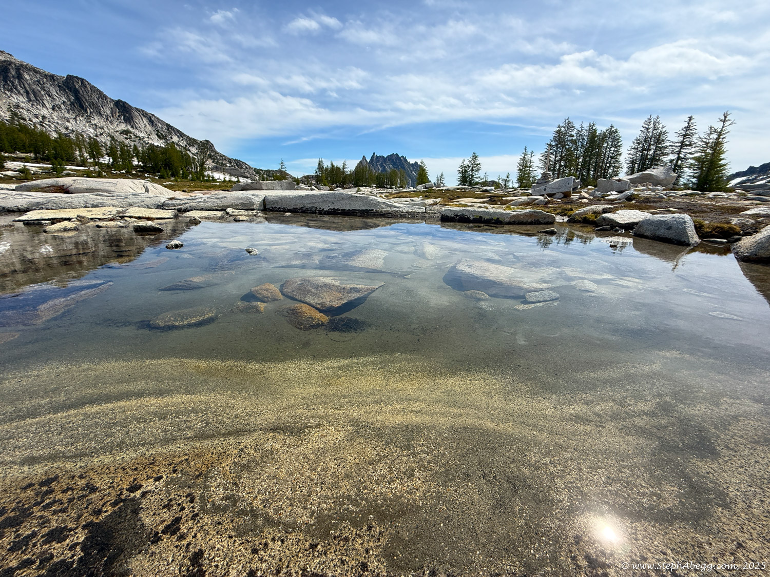
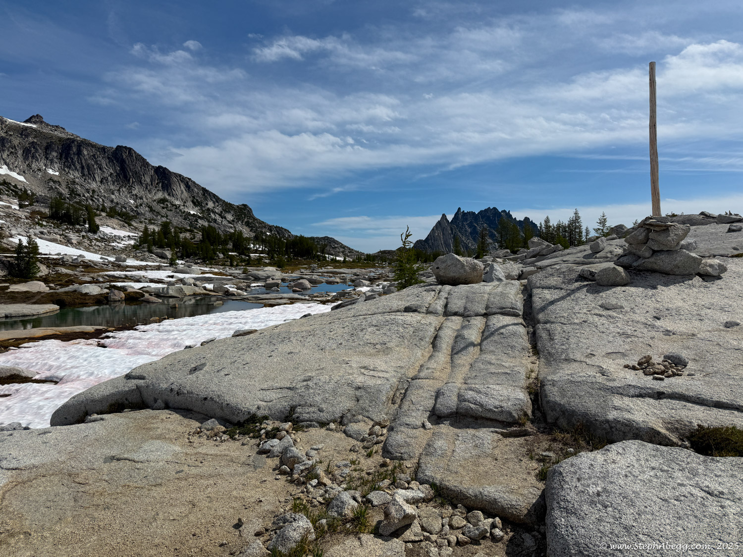
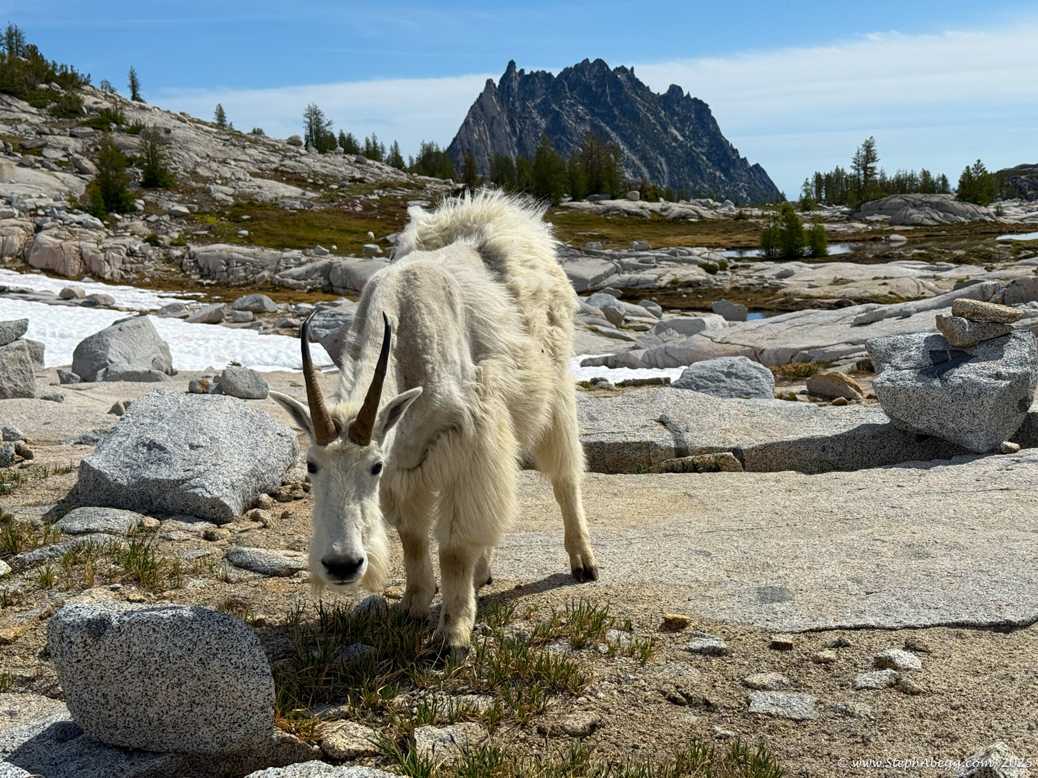
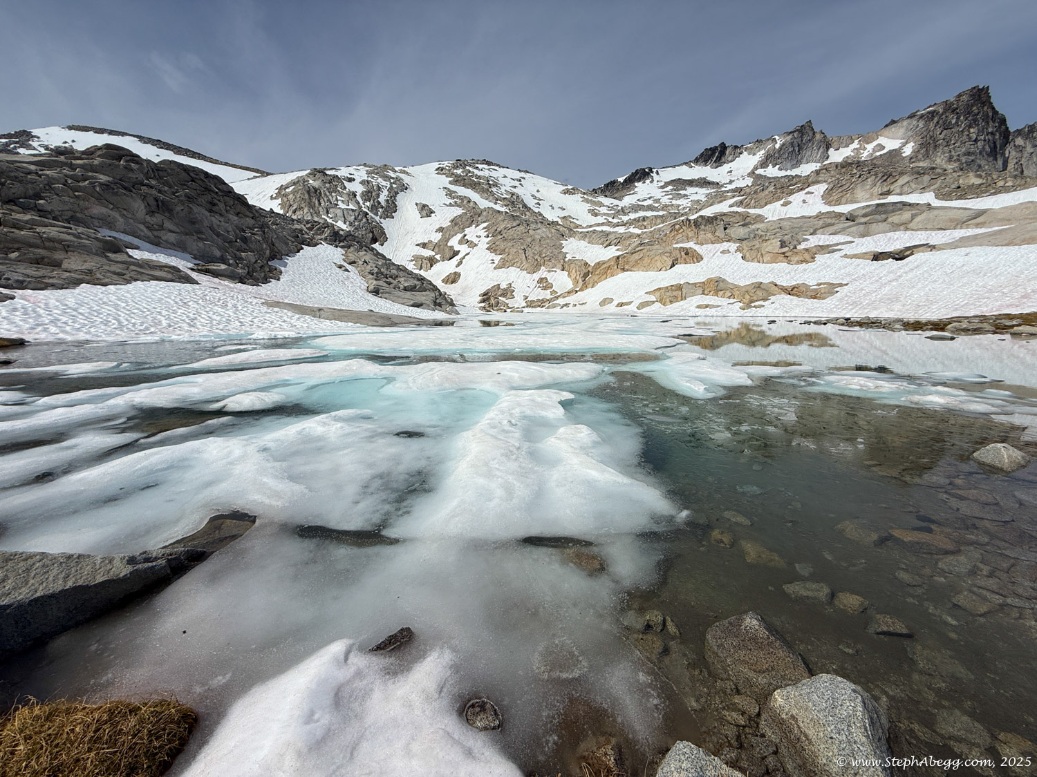
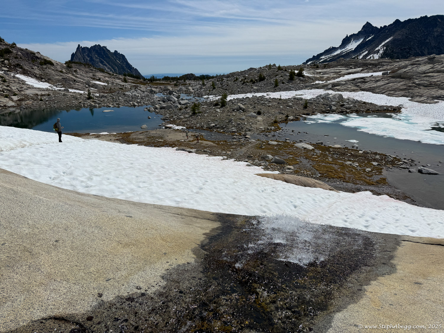
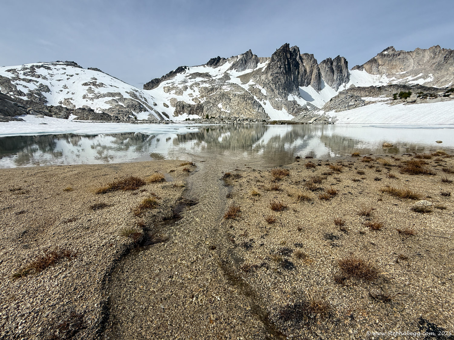
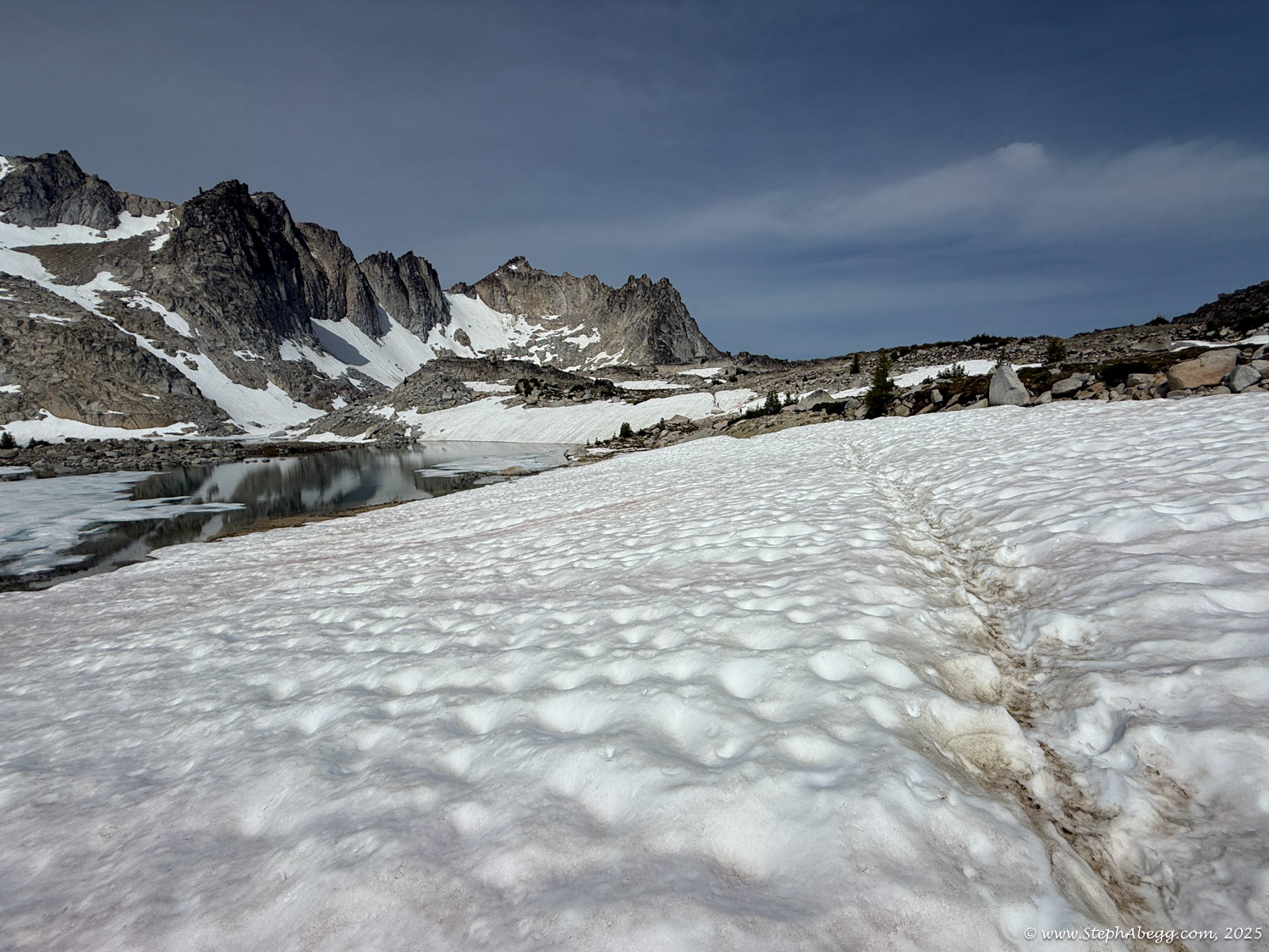
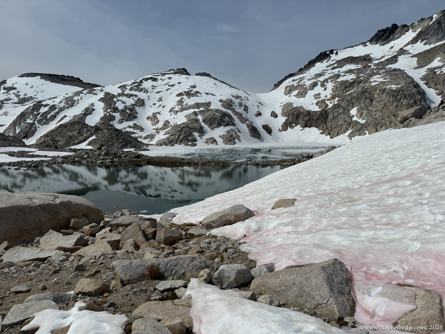
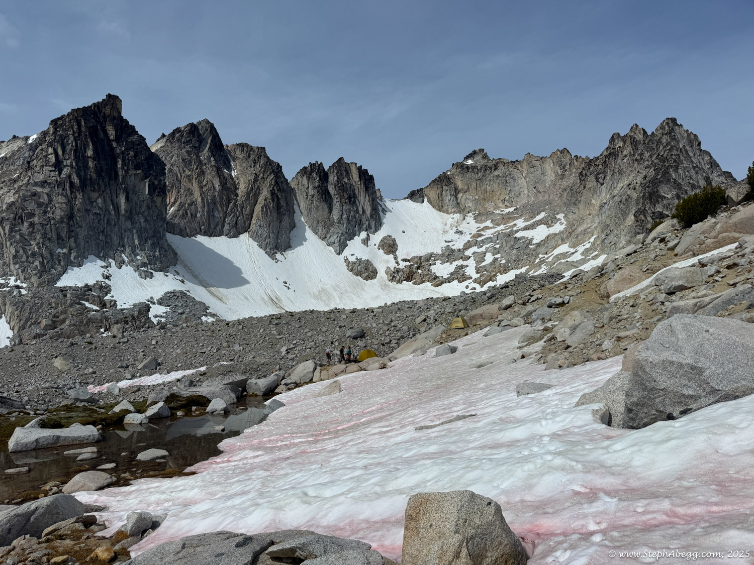
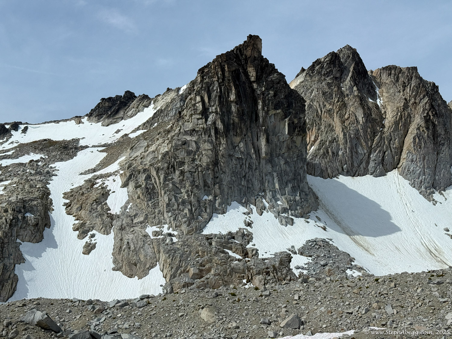
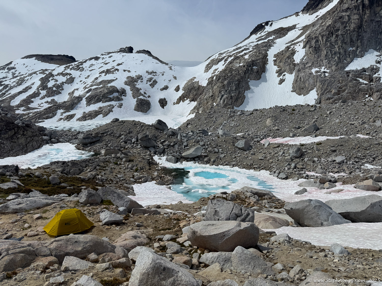
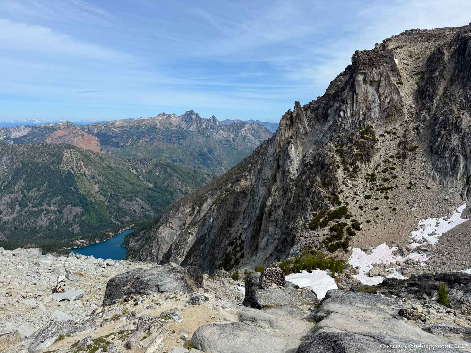
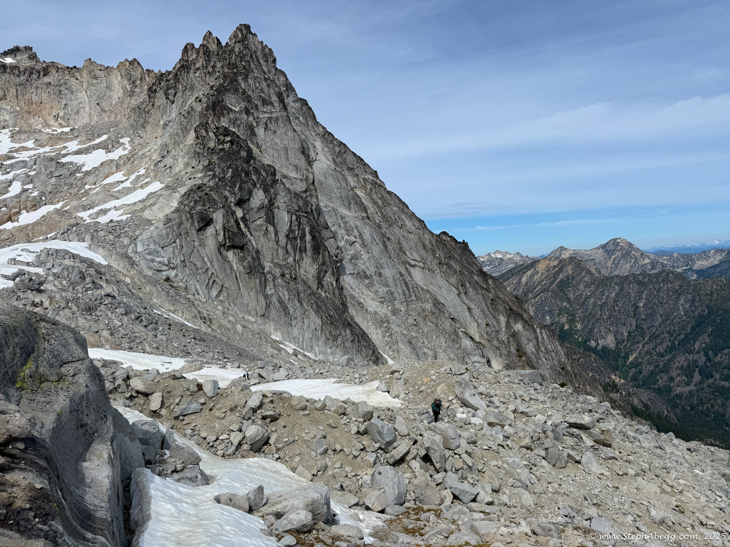
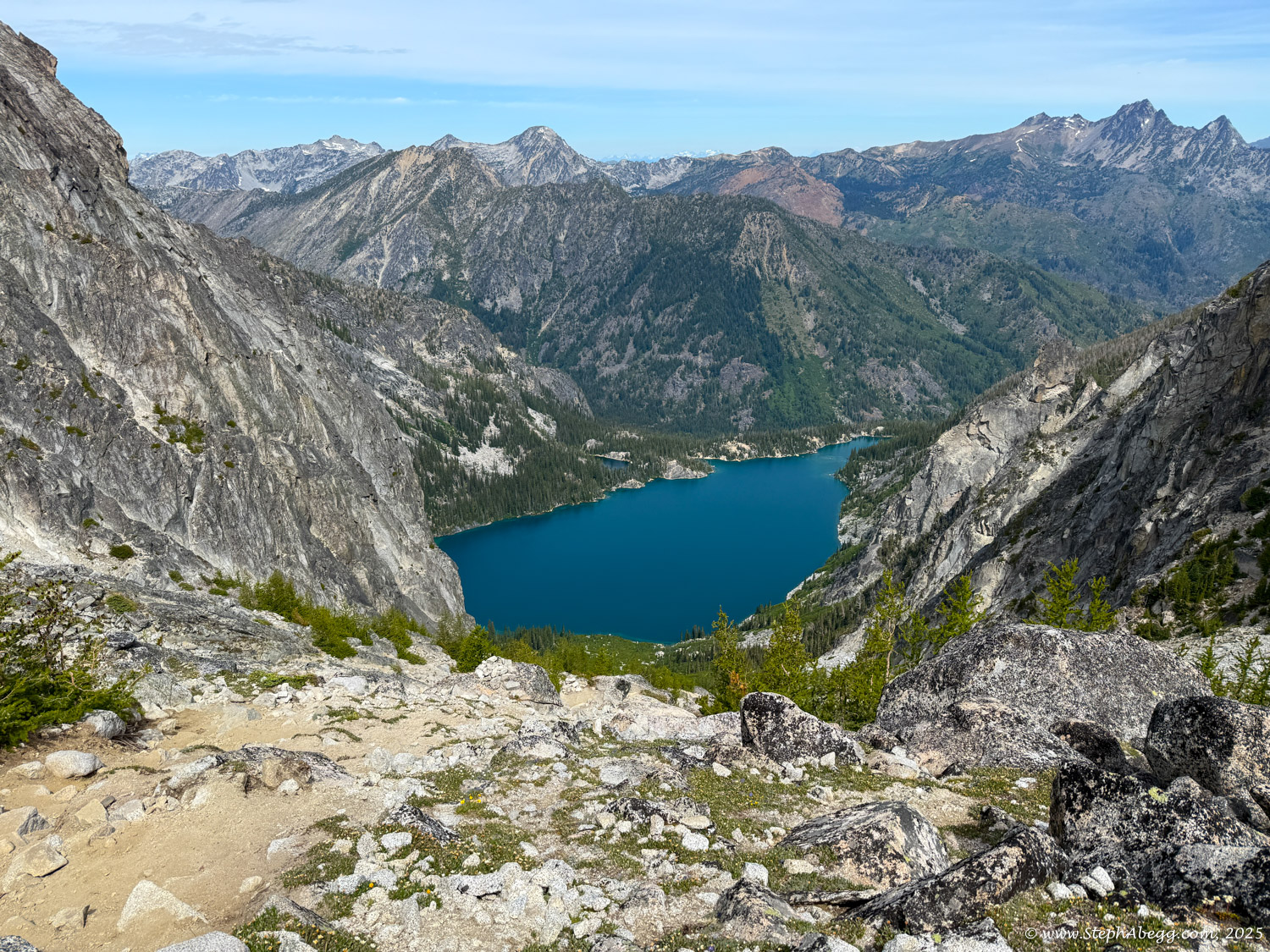
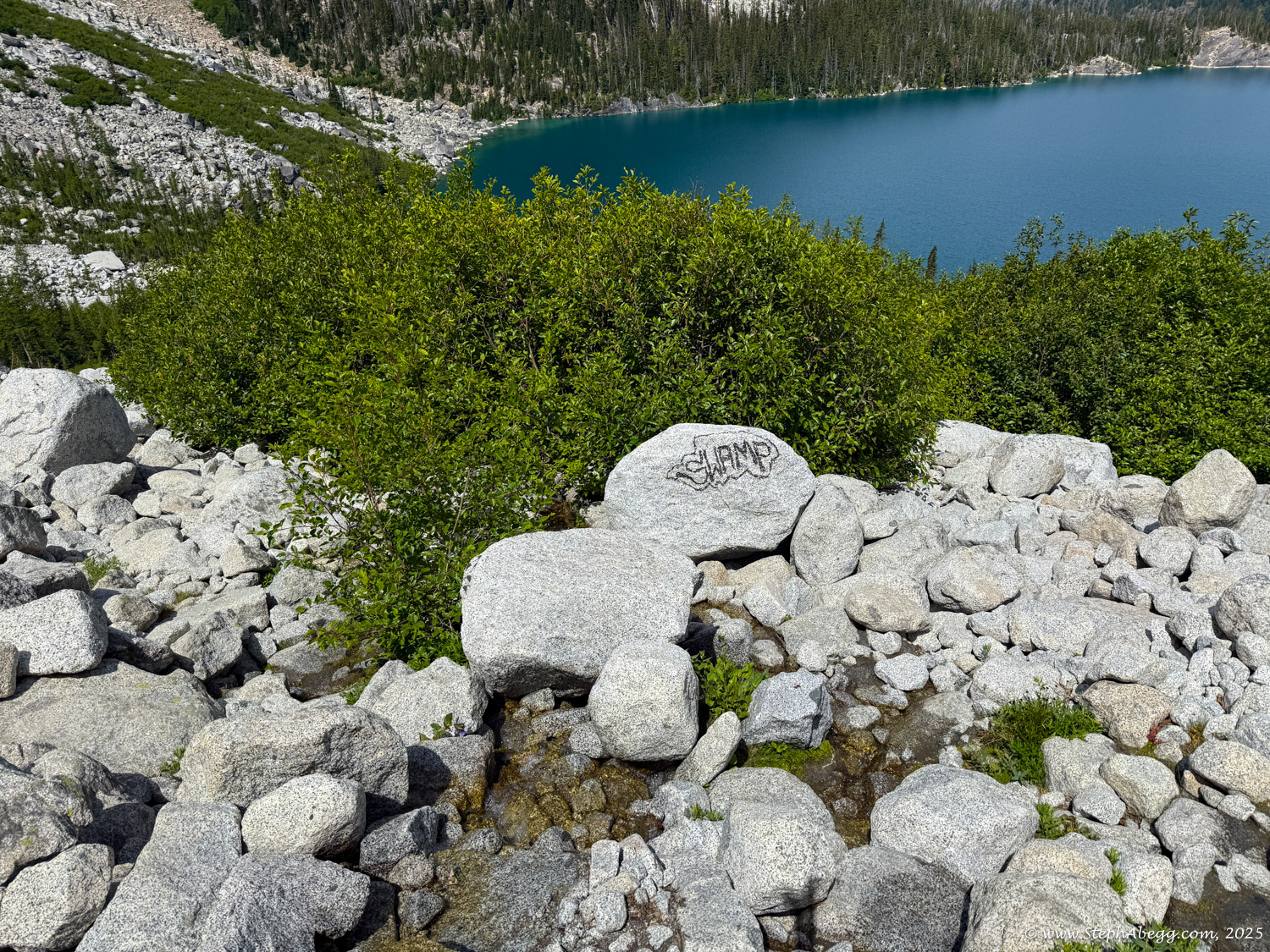
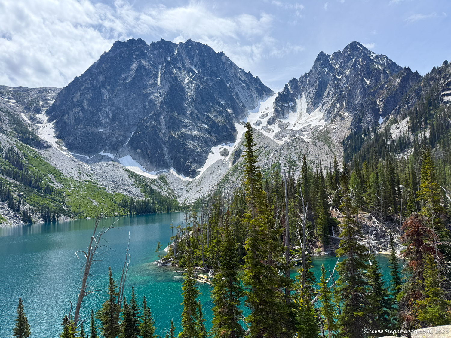
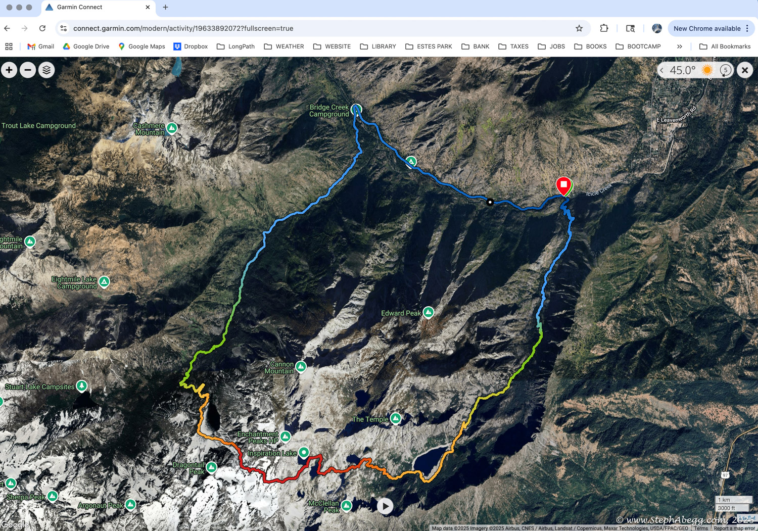
The core zone, stretching from Colchuck Lake to Snow Lake, is a jaw-dropping expanse of lakes, meadows, and peaks—easily one of the most beautiful places I’ve ever experienced on foot.

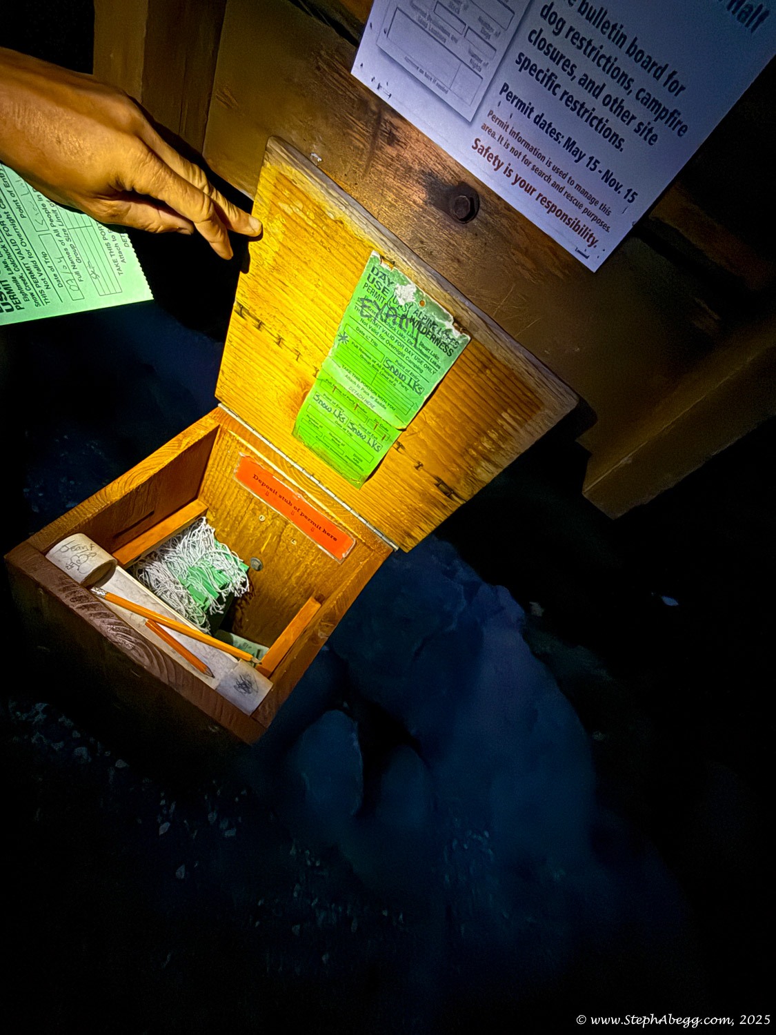
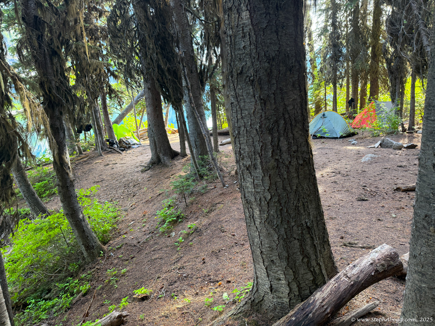
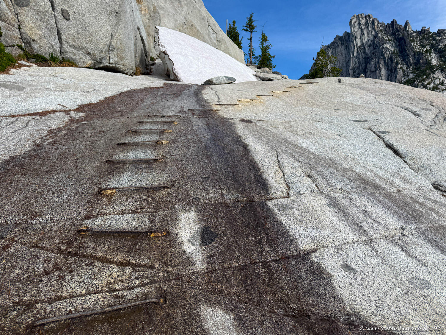
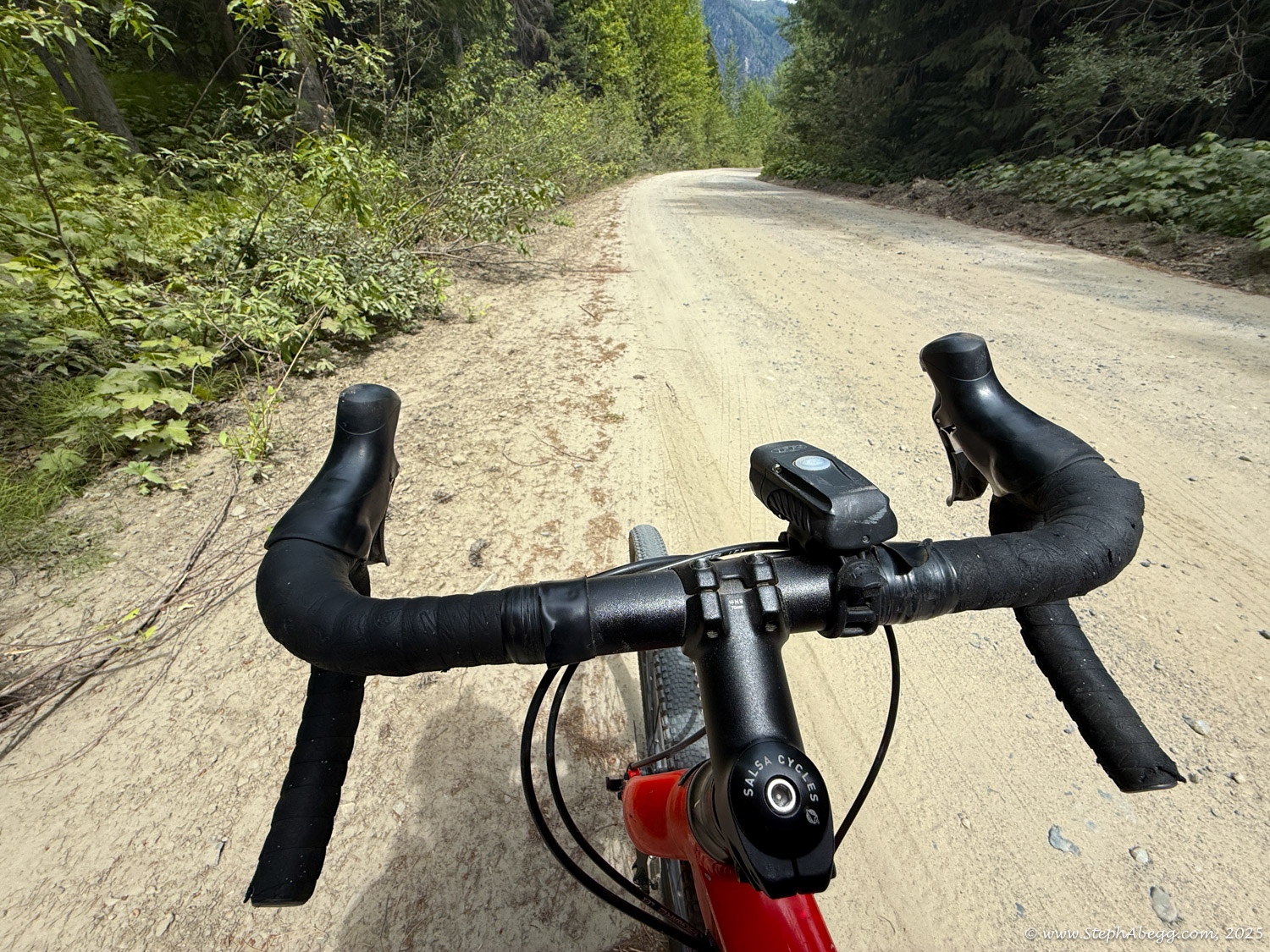
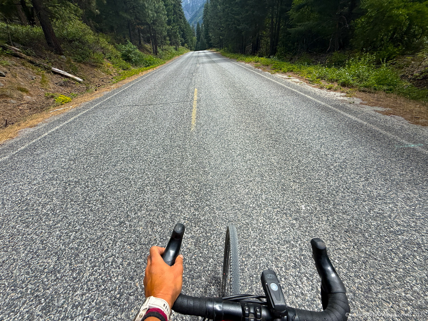
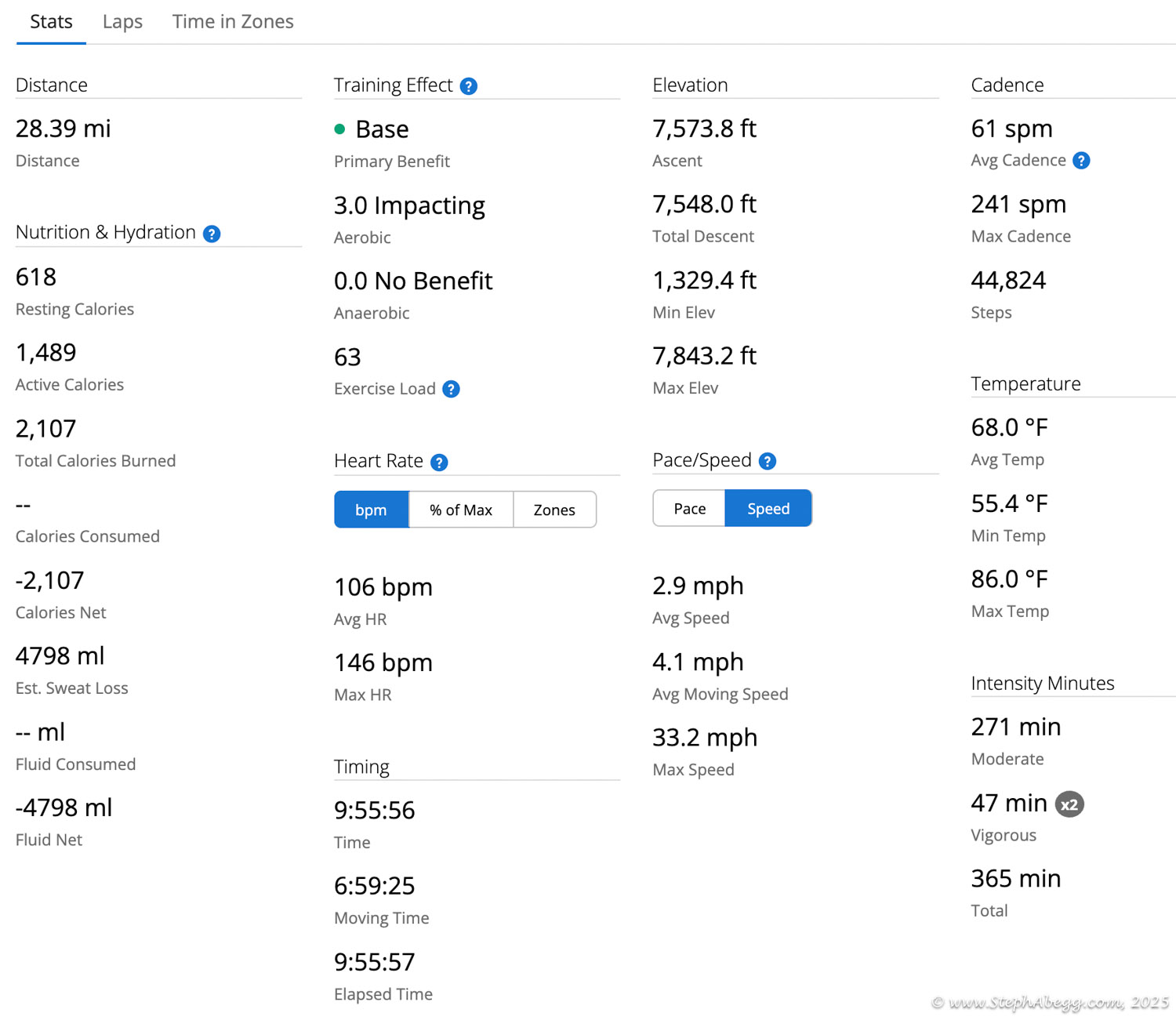
There are two main ways to explore the Enchantments: as a challenging one-day thru-hike or as a multi-day backpacking trip. However, camping within the core zone requires a highly sought-after permit, which is notoriously difficult to obtain. Because of this, most people opt to visit the Enchantments as a single-day hike—18.5 miles with roughly 5,000 feet of elevation gain and loss. It’s a big day, but an unforgettable one.

I lived in Washington from 2008 to 2019 and visited the Enchantments several times, climbing a number of routes on peaks such as Aasgard-Sentinel, Colchuck Balanced Rock, Colchuck Peak, Dragontail Peak, Enchantment Peak, Little Annapurna, Prusik Peak, Mt. Stuart, and Snow Creek Wall. I’d also hiked in the area in October 2008 and 2009 to photograph the golden larches (see my "Larch Trees in Enchantments" page). But until now, I had never documented the full Enchantment Thru-Hike on my website.

The original plan was to meet my friend in Squamish, but after injuring my arm sport climbing in 
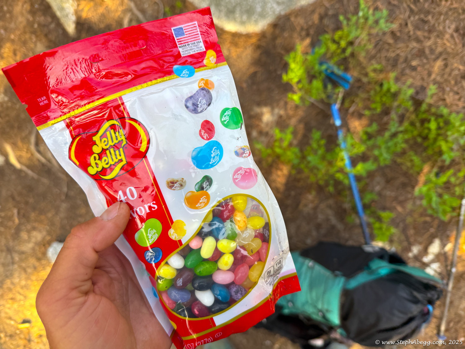
Rifle the week prior, we decided to postpone by a week. That left me with some unexpected free time as I made my way from Colorado to British Columbia. With about ten days to spare before the rescheduled meet-up, I stopped in Leavenworth, Washington, for a couple of days to stay at my sister Jenny’s place. It just so happened to be Fourth of July weekend, which was a hopping time in Leavenworth. She already had plans, which gave me the perfect opportunity to tackle the Enchantment Thru-Hike solo. It was spectacular. It took me 9 hours to do the thru-hike at a leisurely pace (stopped to take lots of photos and video, but never took a prolonged break). It was kind of a mountain teaser that left me wanting more. Hmm...Ptarmigan Traverse in a day? ......... After that, I continued north to Chilliwack, British Columbia, to visit my parents and enjoy a bit of adventuring around their area.

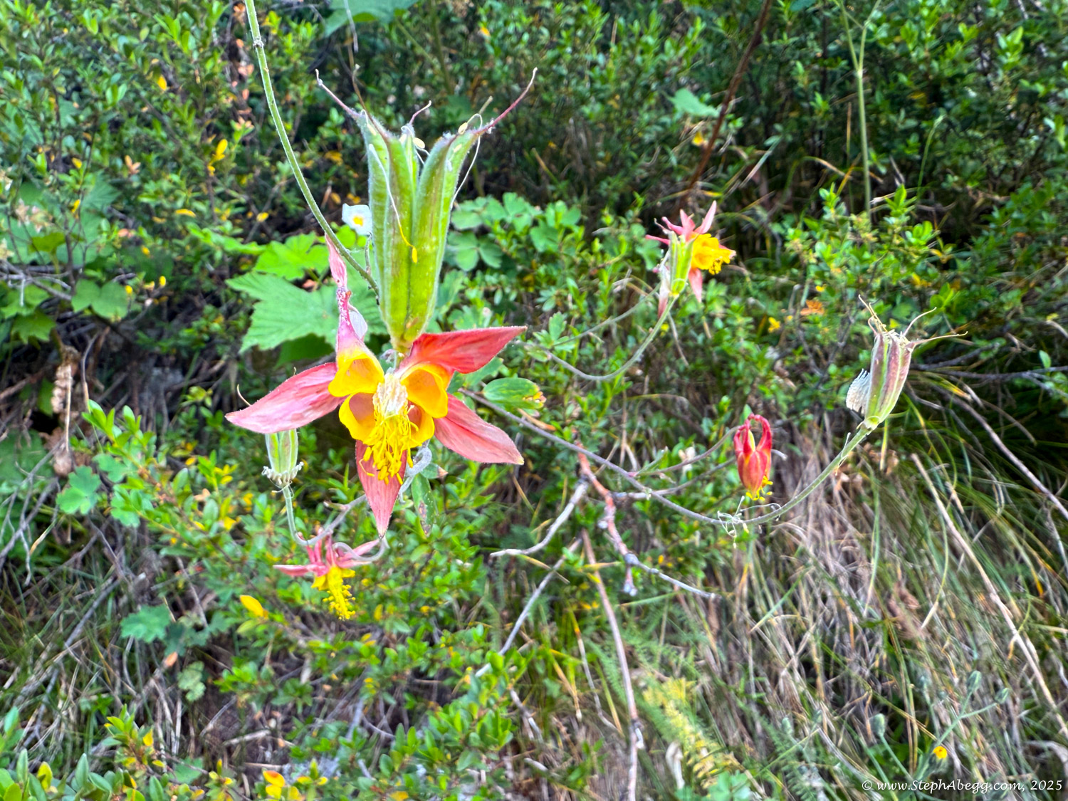
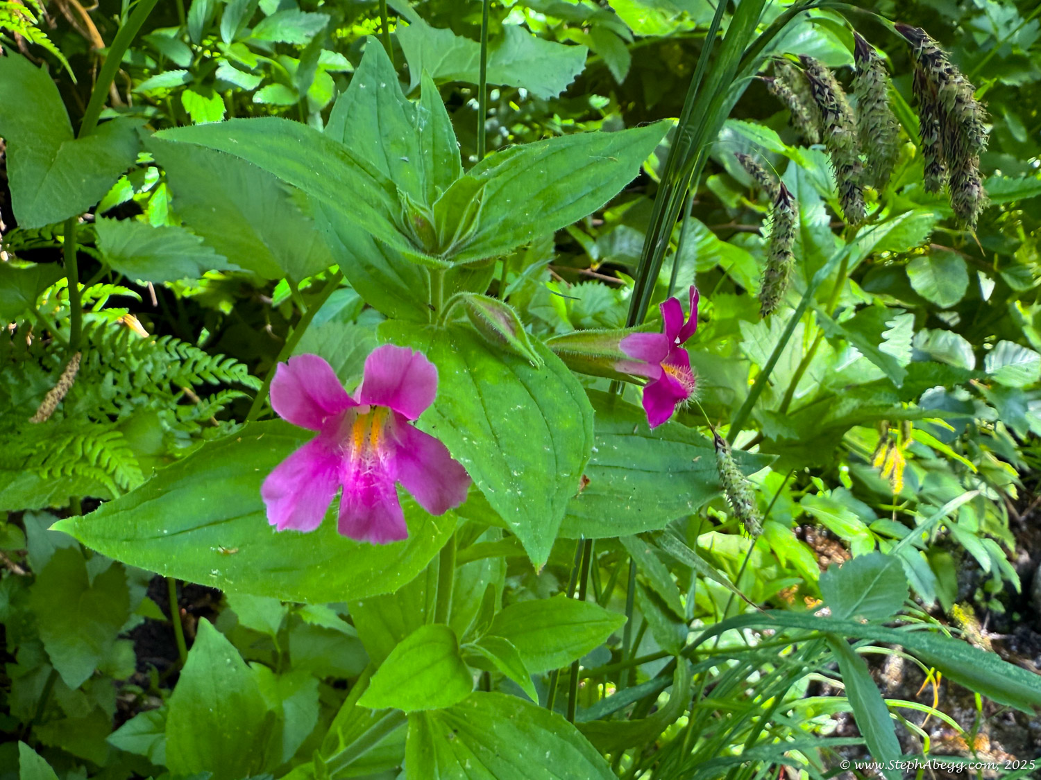
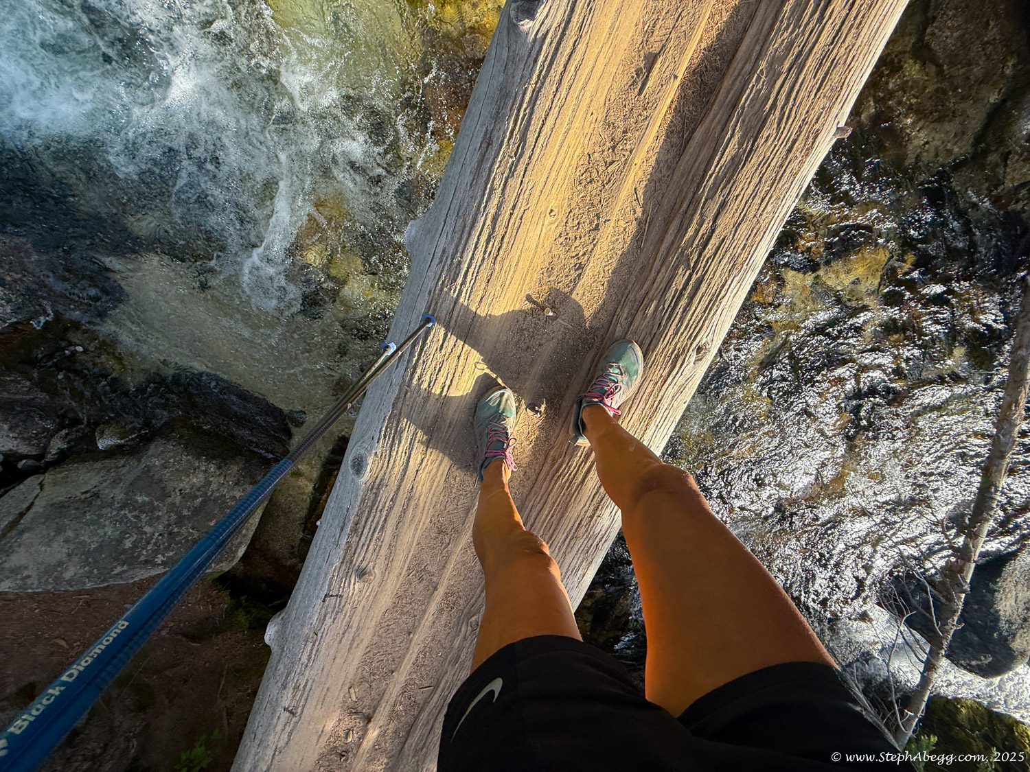
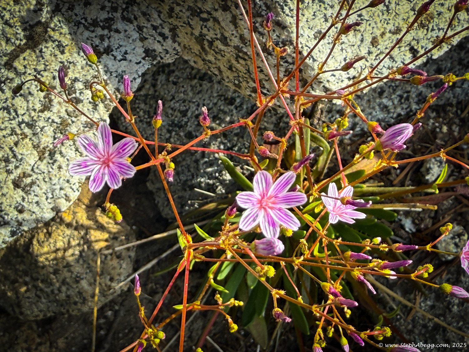
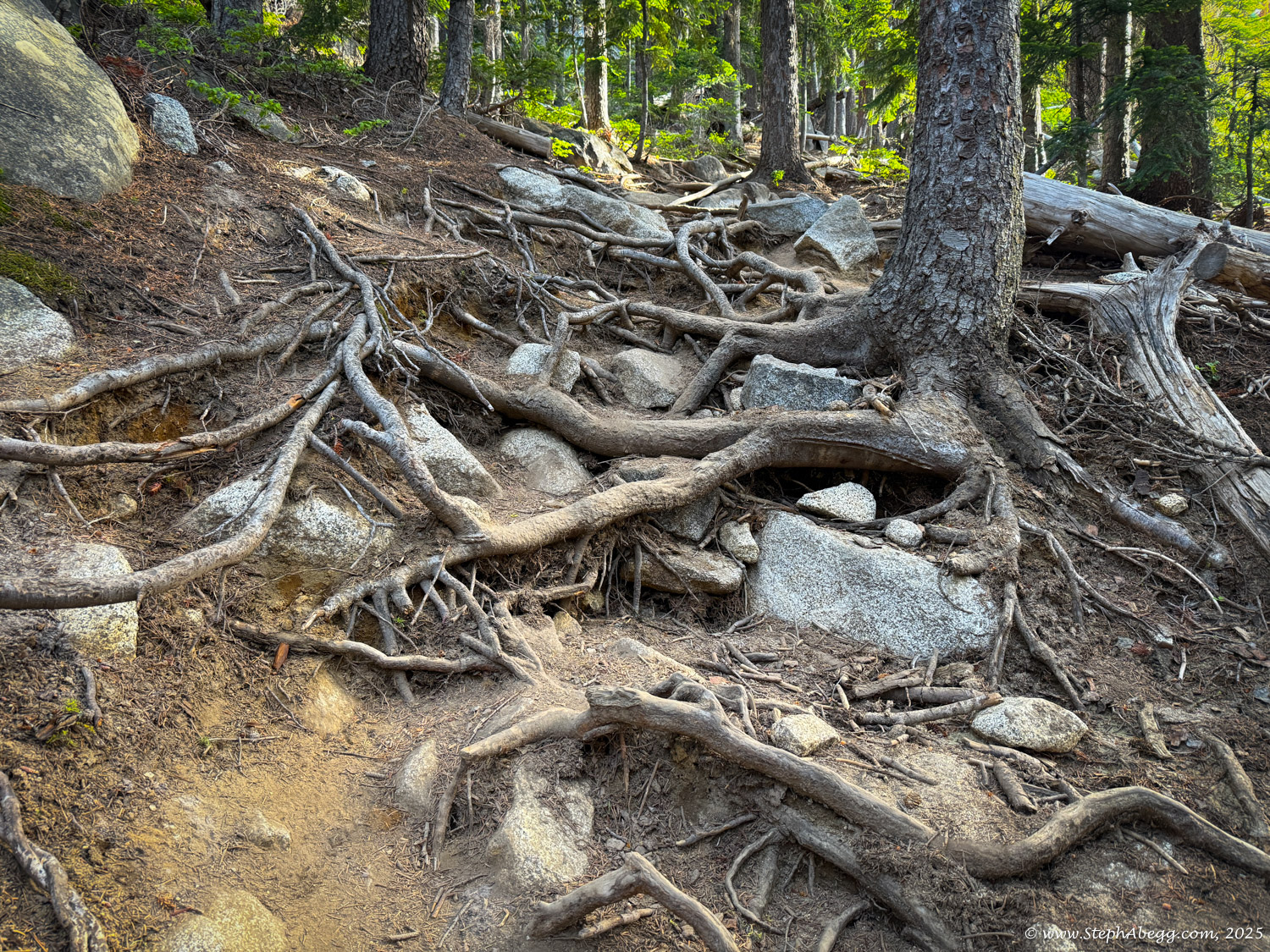
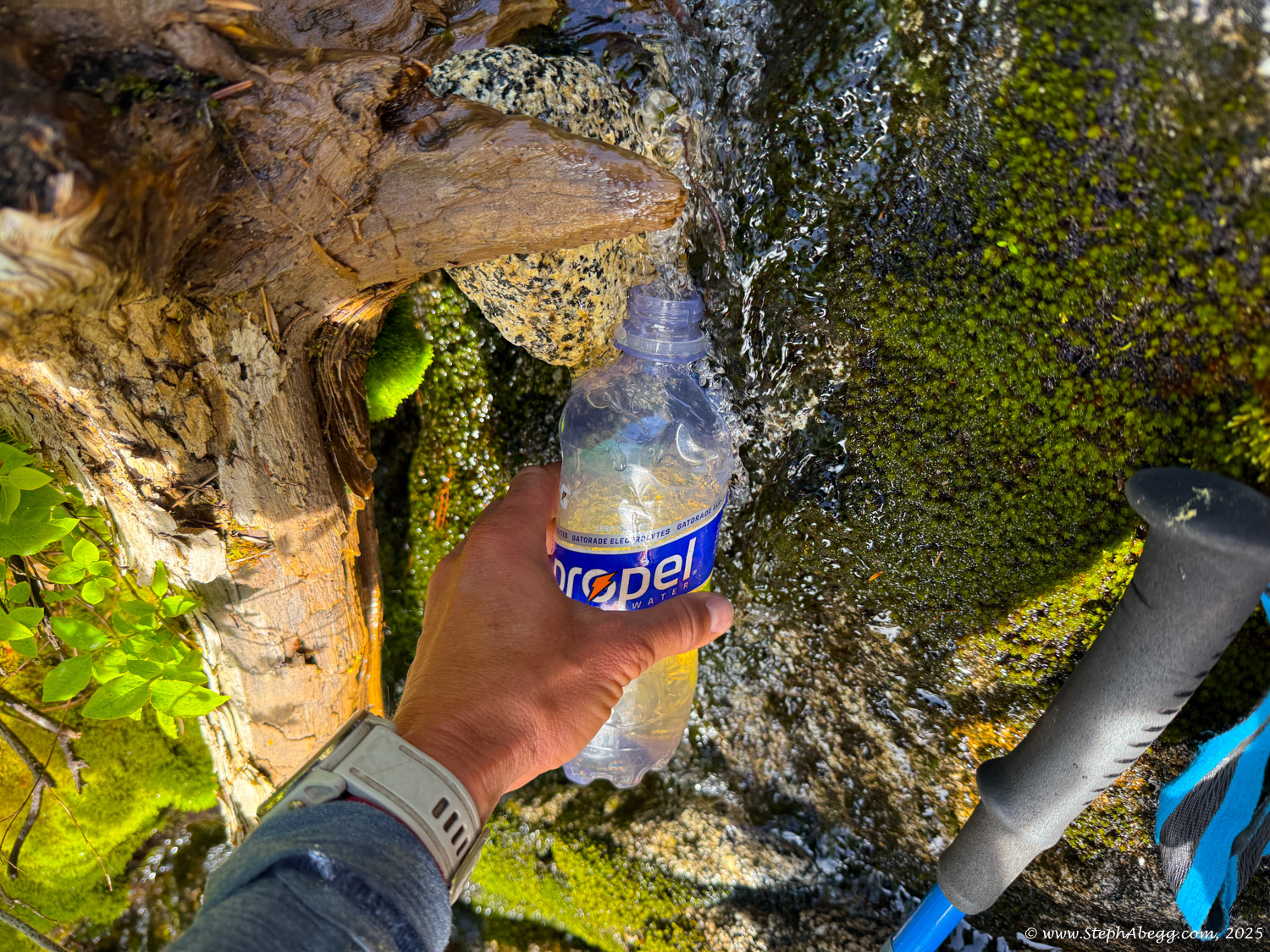
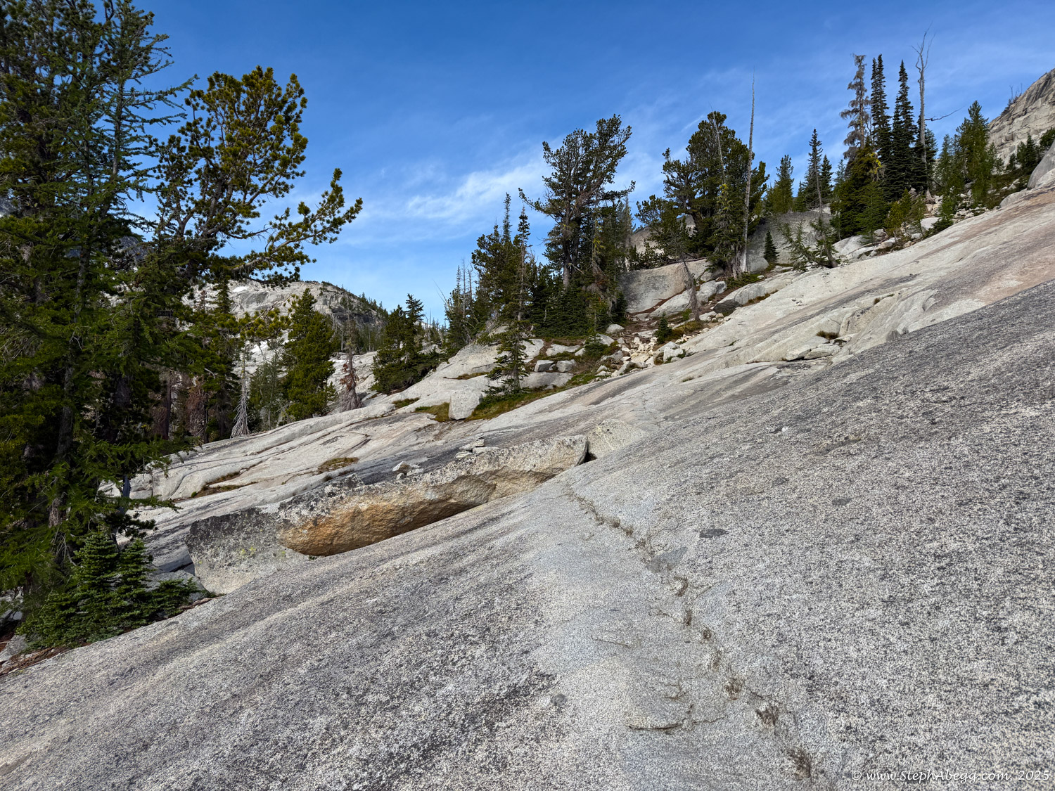
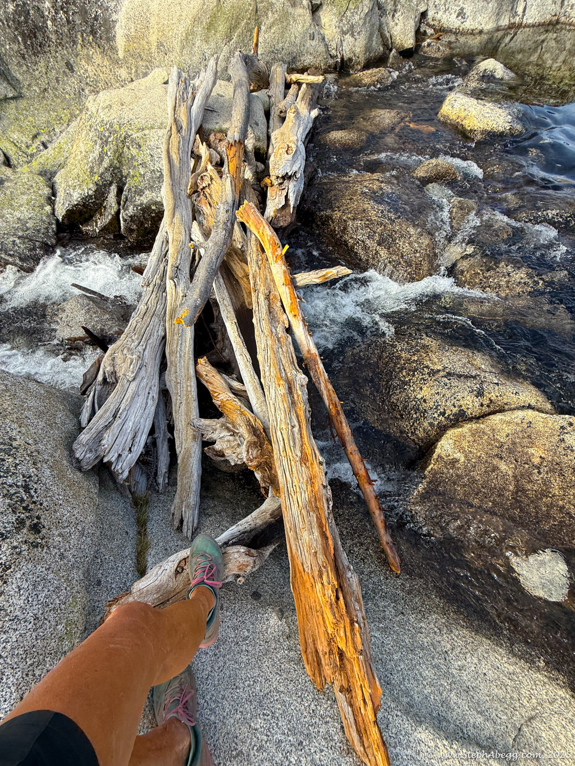
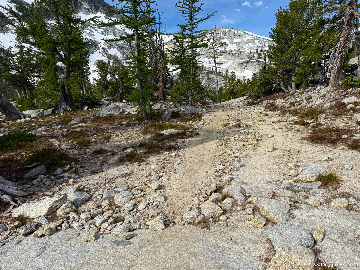
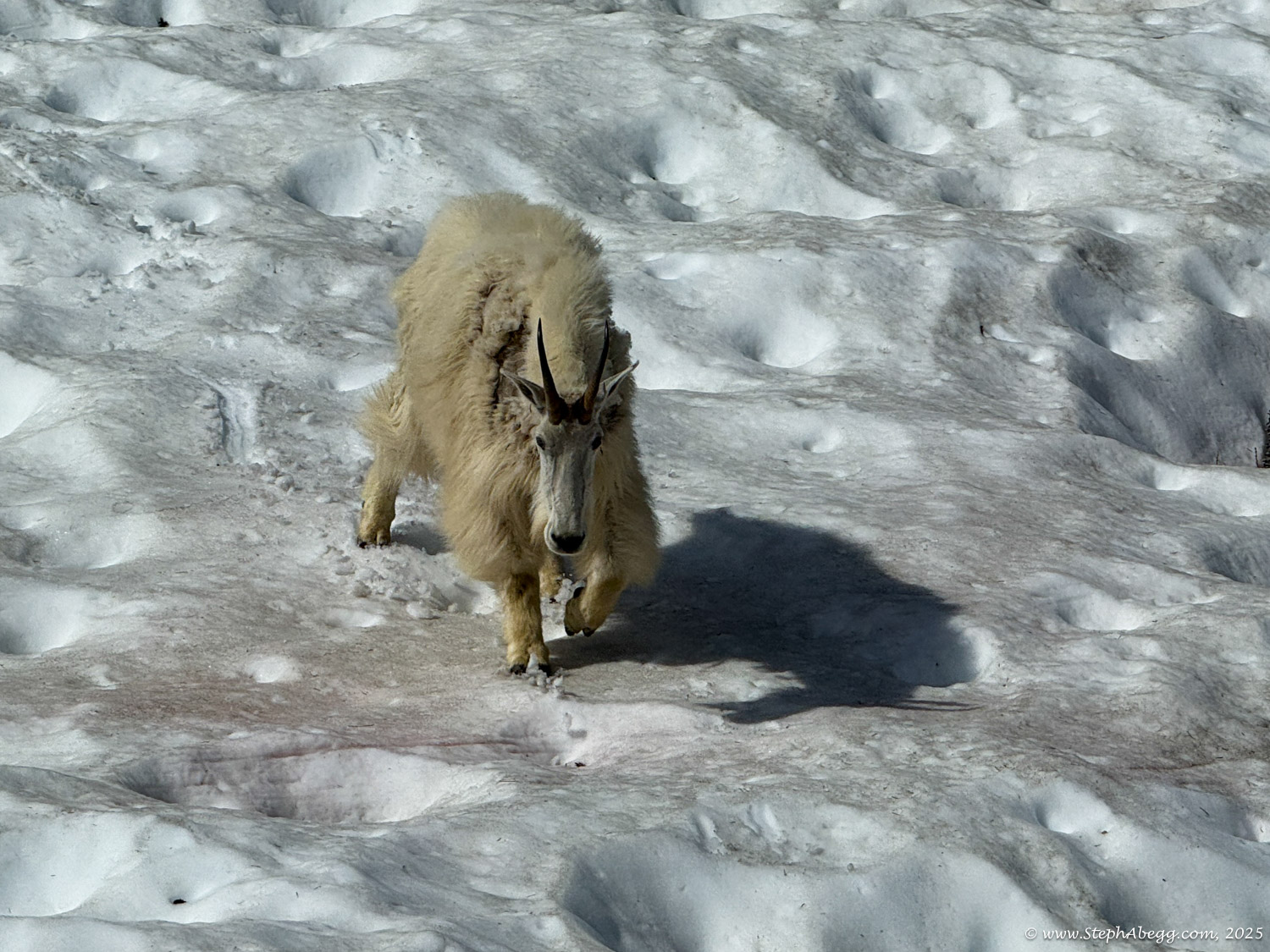
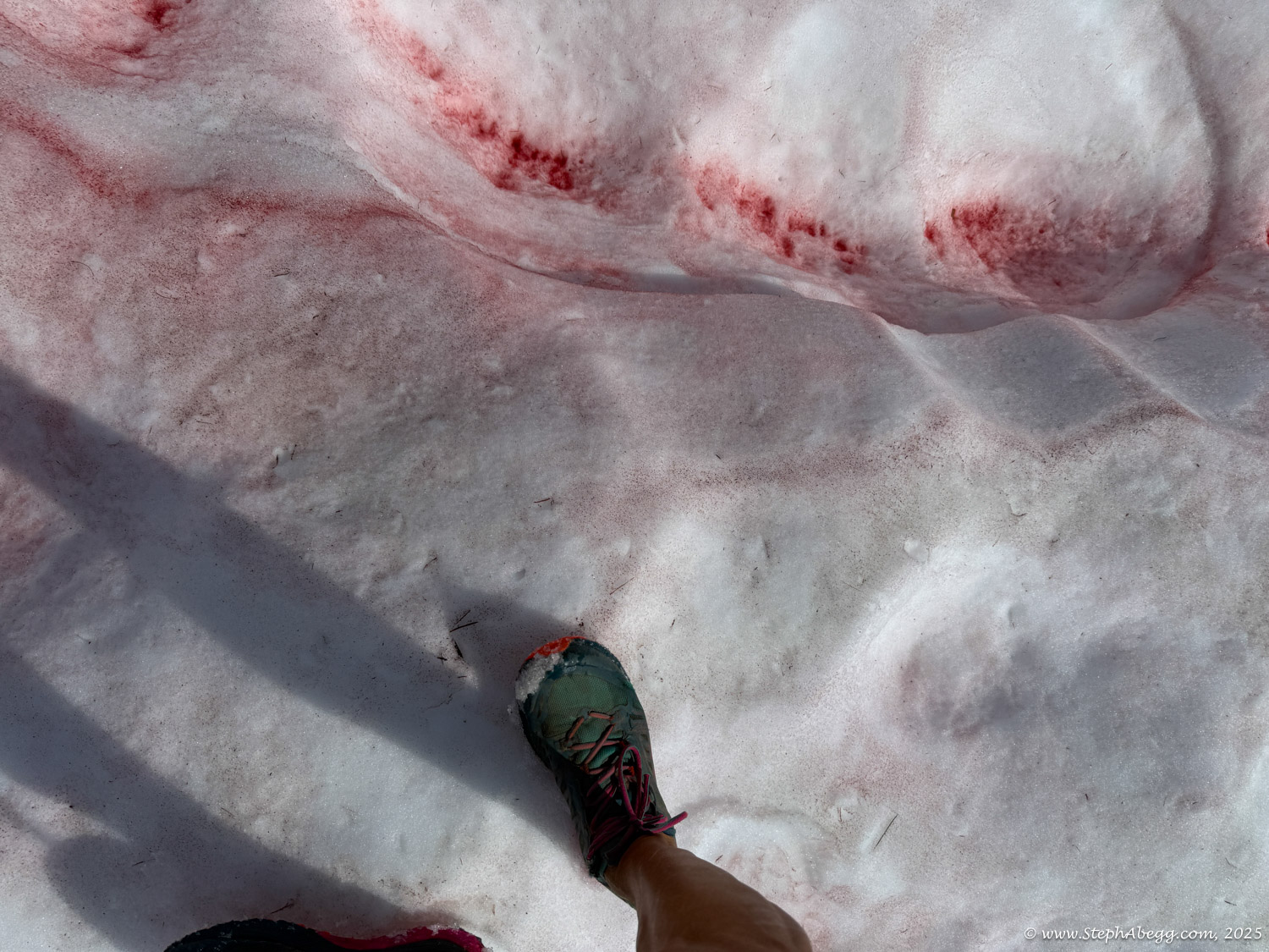
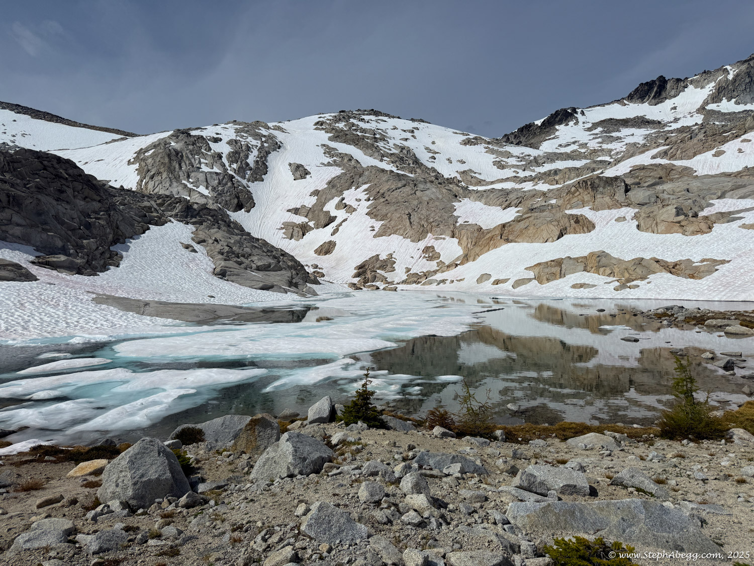
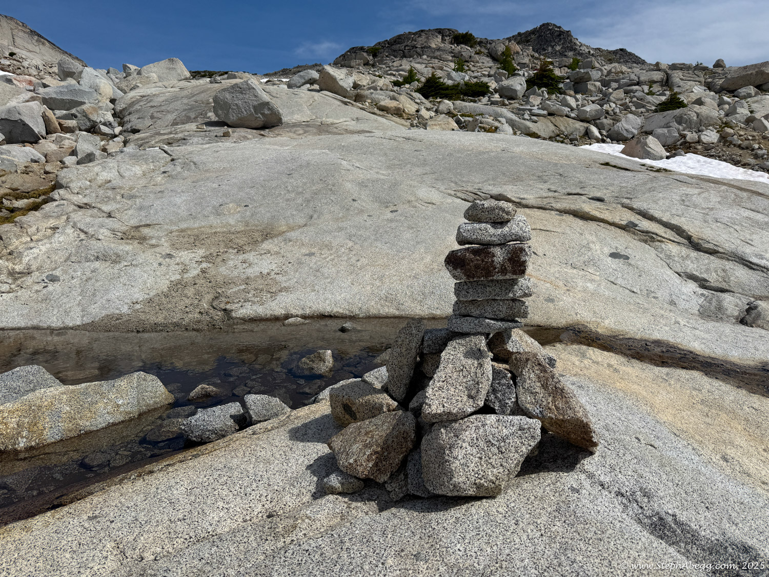
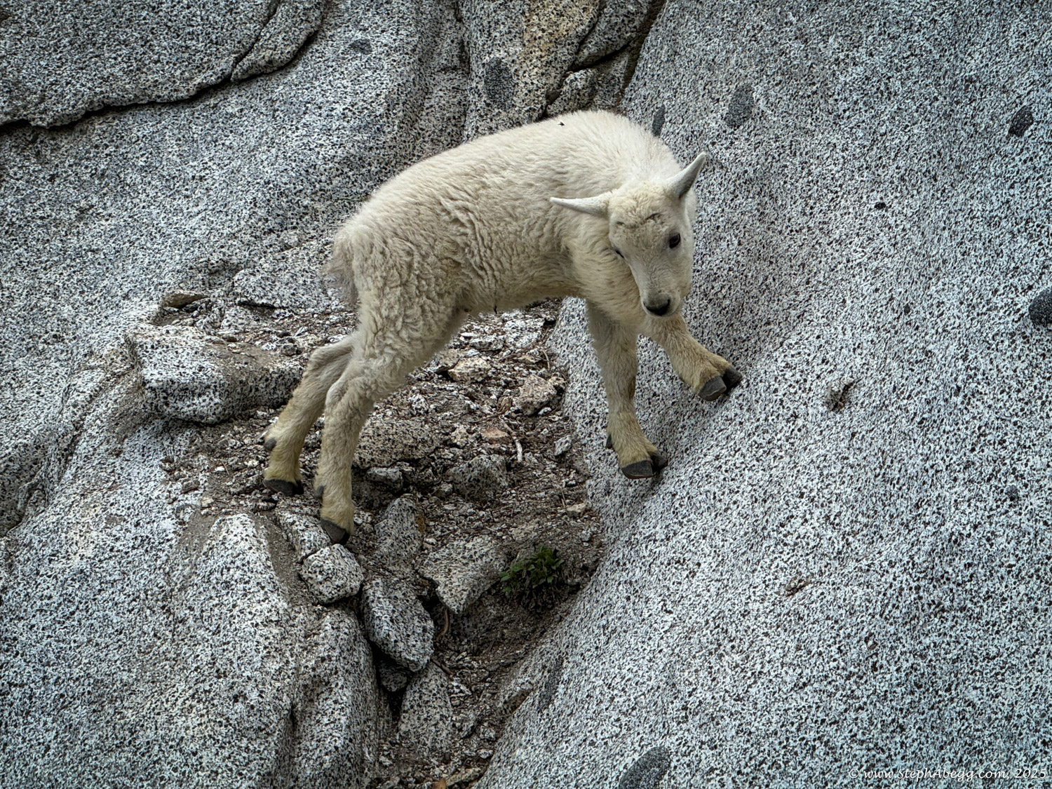
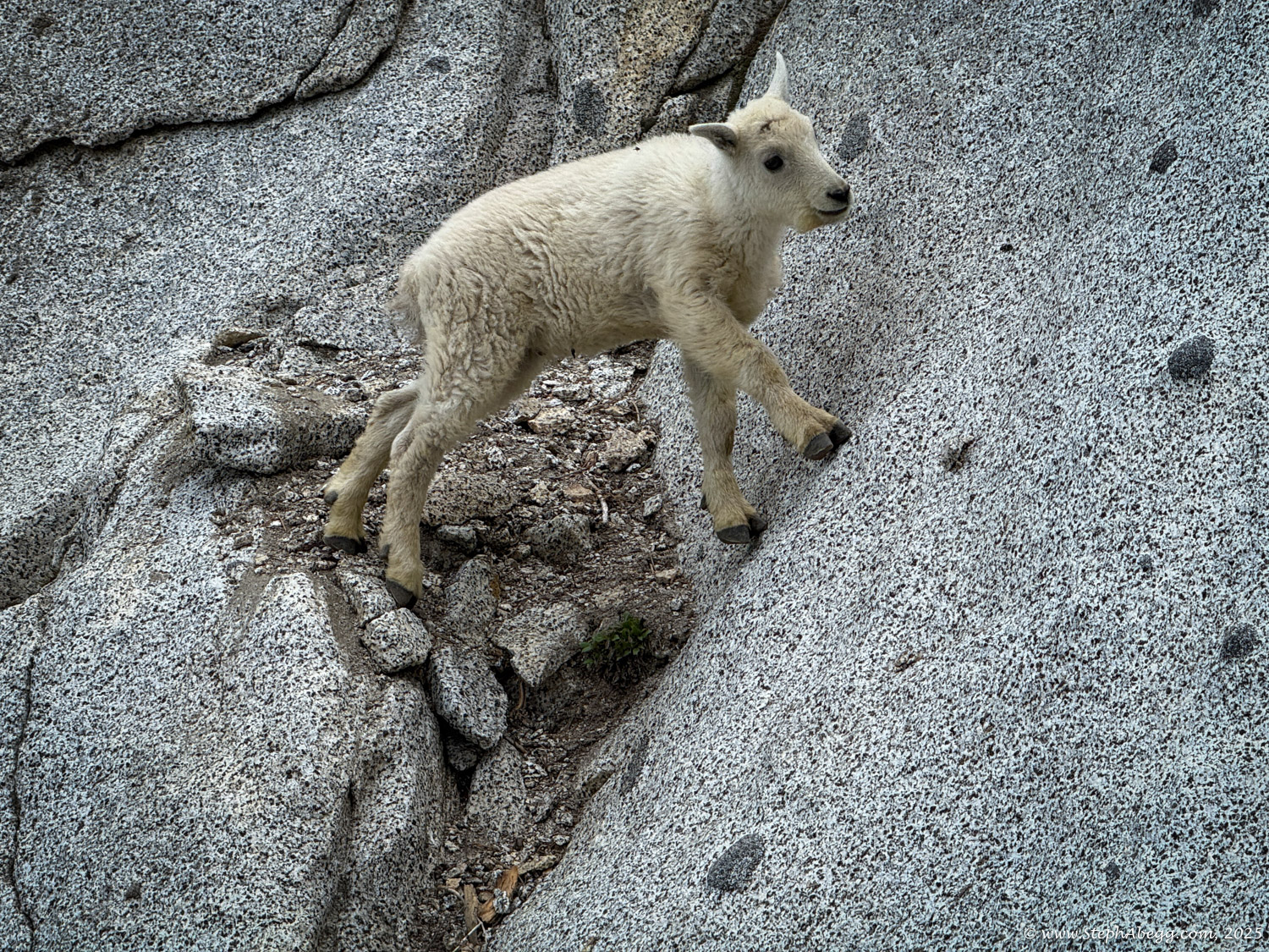
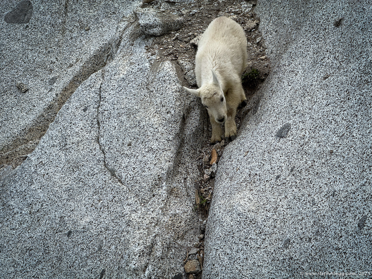
This page includes a map, time stats, and photos from my thru-hike of the Enchantments.

Which Trailhead to Start From?

There are two main entry points into the Enchantments: the Stuart Lake Trailhead and the Snow Lakes Trailhead.

Most thru-hikers begin at the Stuart Lake Trailhead, and for good reason. Sitting at roughly 3,225 feet, this trailhead is significantly higher than the Snow Lakes Trailhead, which starts around 1,400 feet—meaning you’ll face nearly 2,000 feet less total elevation gain if you start at Stuart Lake. Additionally, the toughest climb of the route, Aasgard Pass, comes earlier in the hike from this direction, when your legs are fresher and temperatures are cooler.

Aasgard Pass is the highest point along the trail. From the Stuart Lake side, the climb begins around mile 5 and gains roughly 2,000 feet in just 1.5 miles. It’s a brutal ascent, but the reward is immediate—you drop into the spectacular Core Enchantments Basin on the other side. If hiking from the Snow Lakes side, however, you’ll face a long, steady climb of nearly 7,000 feet before topping out at Aasgard Pass, followed by a steep and pounding descent that can be especially hard on the knees.

That said, I’m one of those odd hikers who actually prefers uphill over downhill—more calories burned, less wear on the joints. Since I was hiking solo, figuring out transportation between trailheads without hitchhiking posed a challenge. Luckily, my sister Jenny—who lives in Leavenworth—was doing a big traverse of the Stuart Range that same day and offered a great solution: she’d stash her gravel bike in her van at the Stuart Lake Trailhead and give me a spare key so I could retrieve it. With that plan in place, I began my hike from the lower trailhead.

Here are the stats for hiking from the Snow Lakes Trailhead to the Stuart Lake Trailhead (reverse the gain/loss and start/end if going the other direction):

Hiking Distance: 18.5 miles
Total Elevation Gain: 7,000 feet
Total Elevation Loss: 5,000 feet
Starting Elevation (Snow Lakes Trailhead): 1,300 feet
Ending Elevation (Stuart Lake Trailhead): 3,400 feet
Highest Point (Aasgard Pass): 7,841 feet

Time Stats

Garmin watch stats (includes bike ride)

Photos

Snow Lakes Trailhead -> Lake Vivian (Approach to Enchantments Core)

Lake Vivian -> Aasgard Pass (Enchantments Core)

Aasgard Pass -> Stuart Lake Trailhead (Hike out from Enchantments Core)

Stuart Lake Trailhead -> Snow Lakes Trailhead (by bike)

Videos

Comments Pertaining to this Page / Trip Report

Useful beta. Updated route information. Corrections. Historical notes. Interesting facts. No fluff please.
Please do not put links in your comment, as my spam filter will filter those comments out.
Leave a Reply

Your email address will not be published. Required fields are marked *