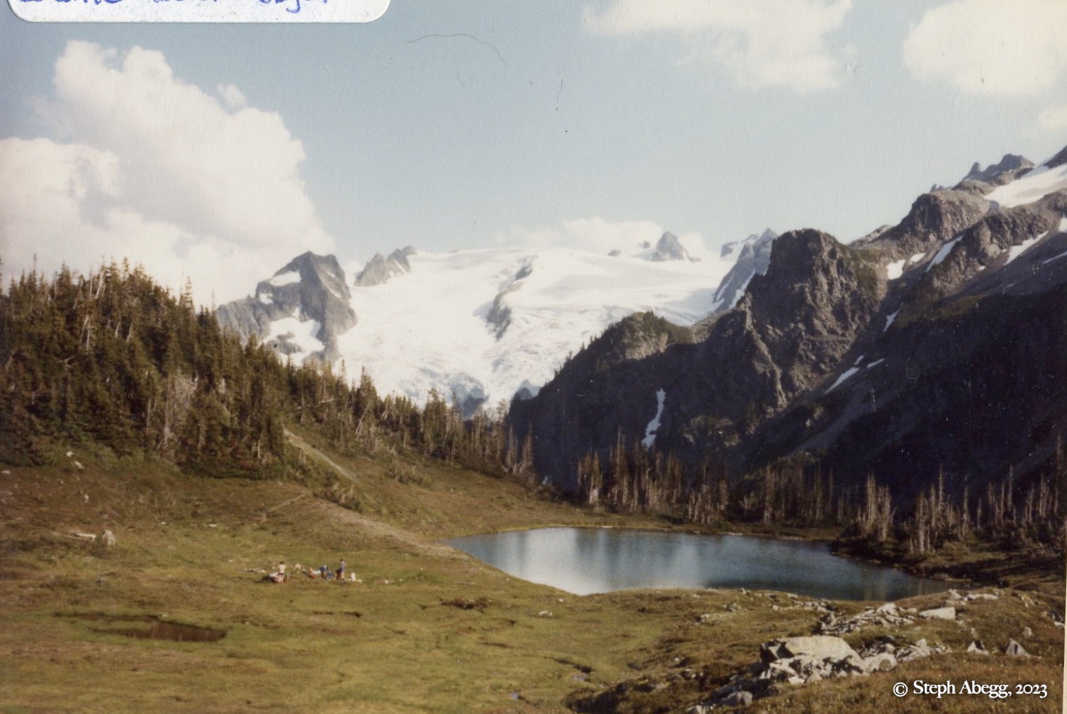
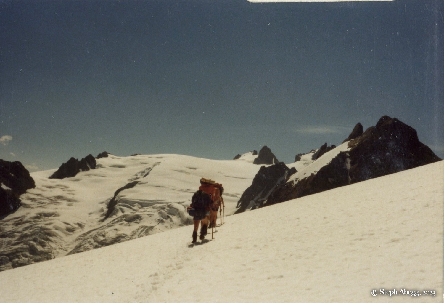
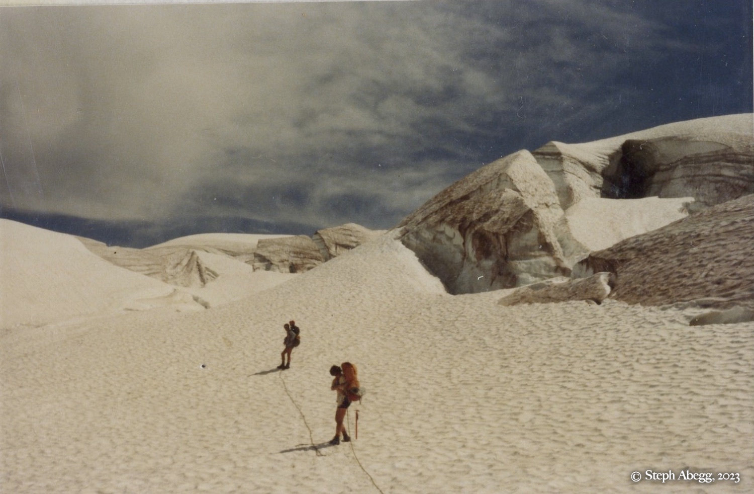
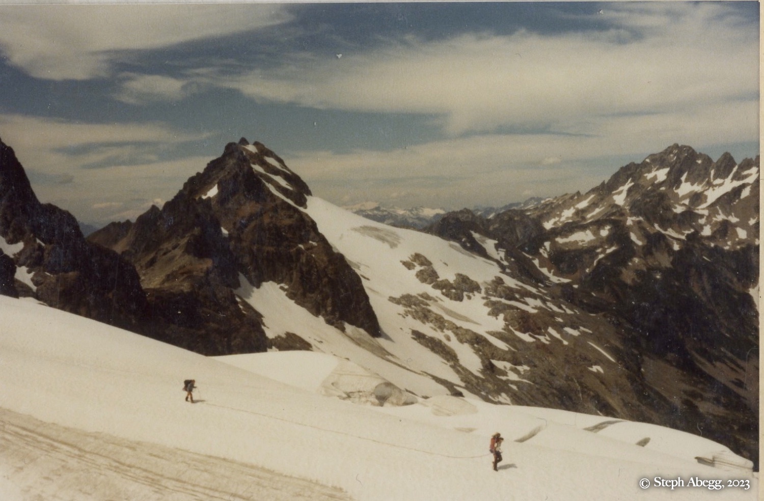
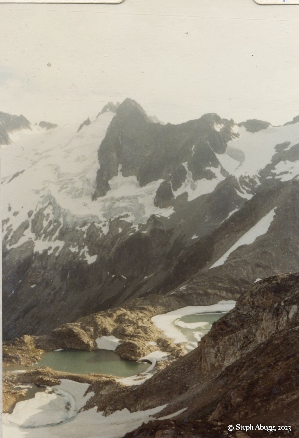
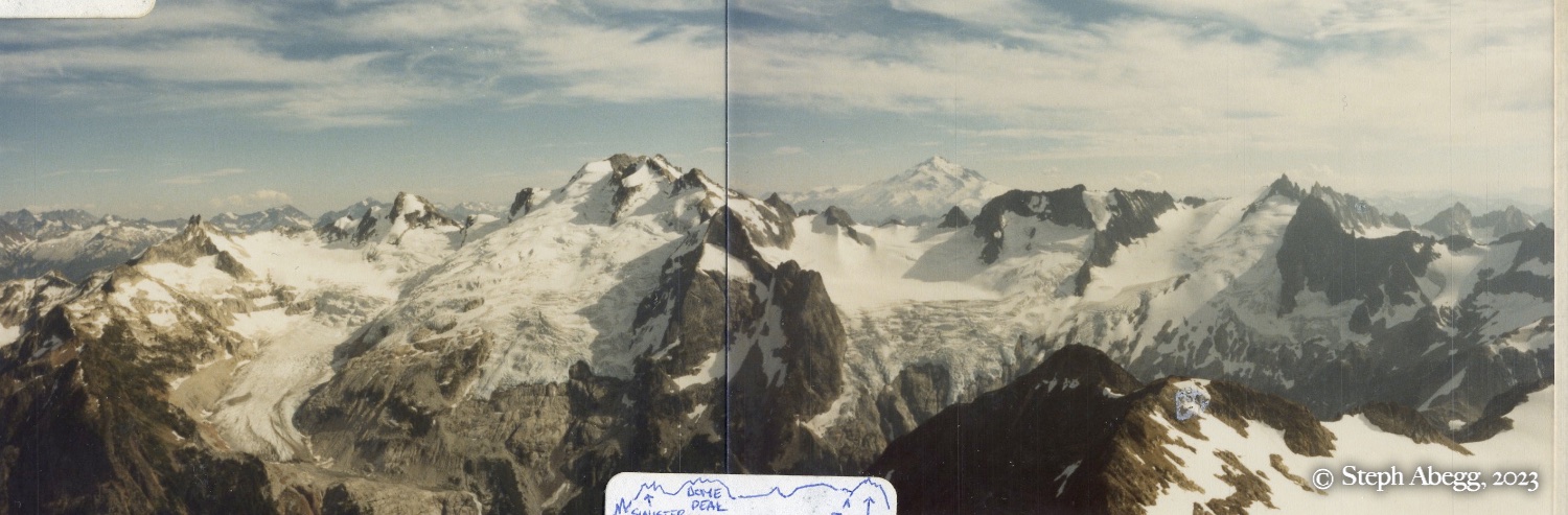
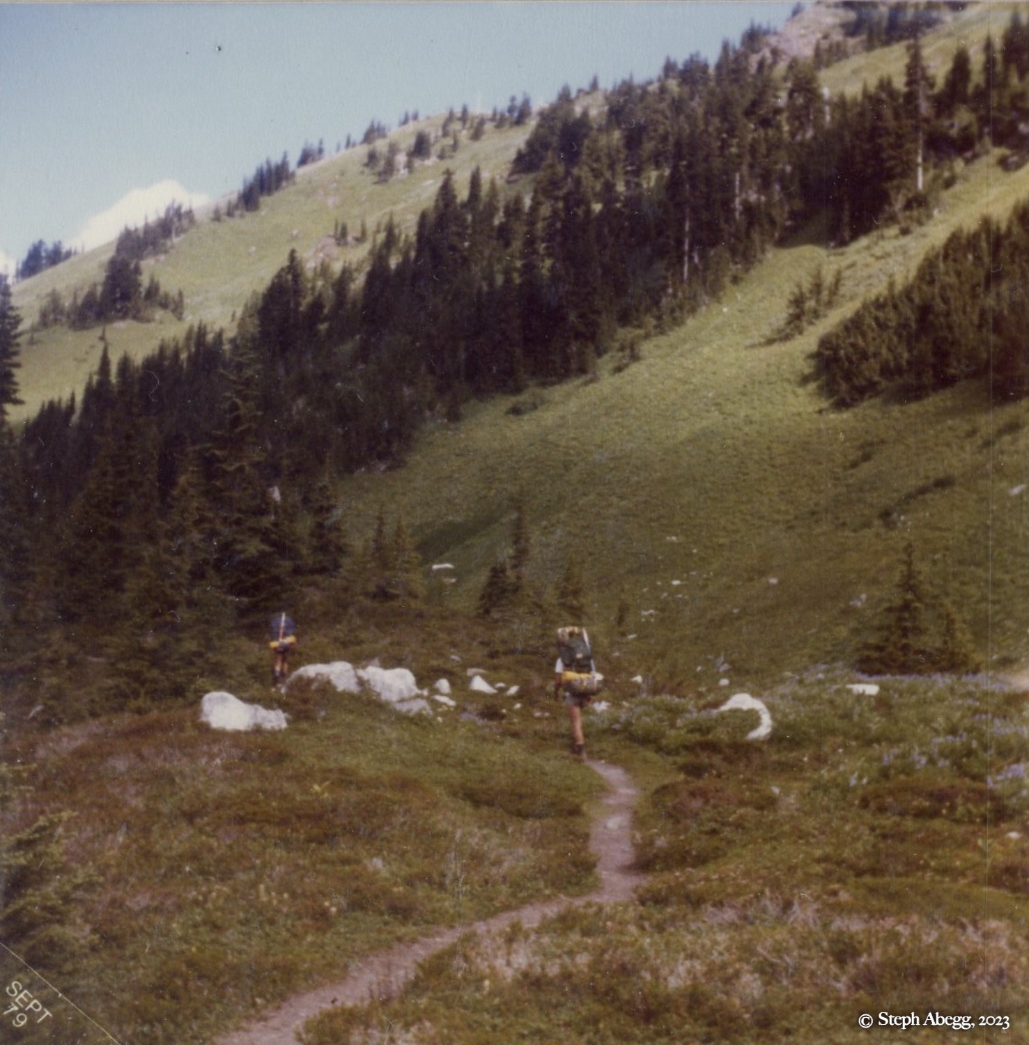
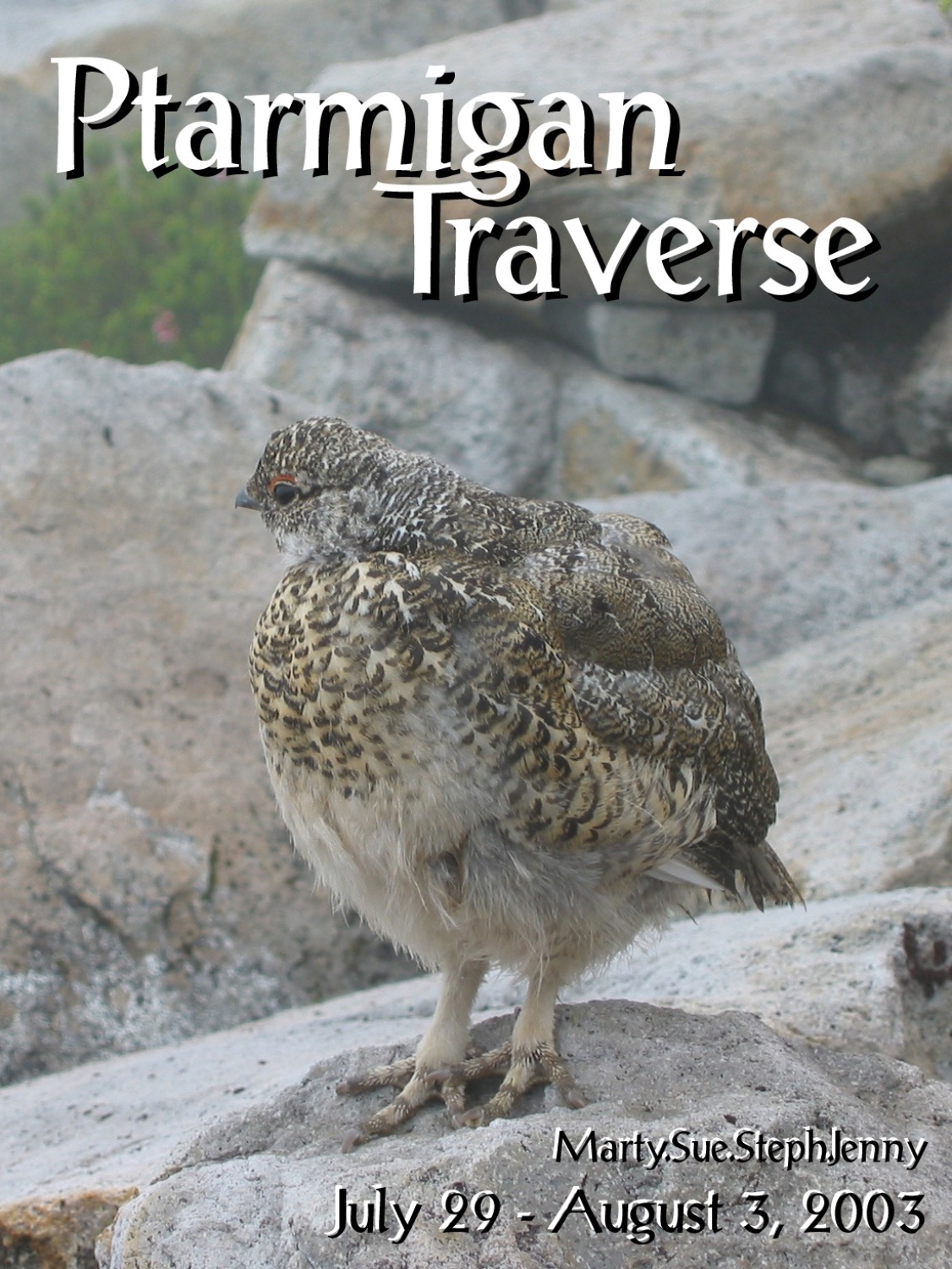
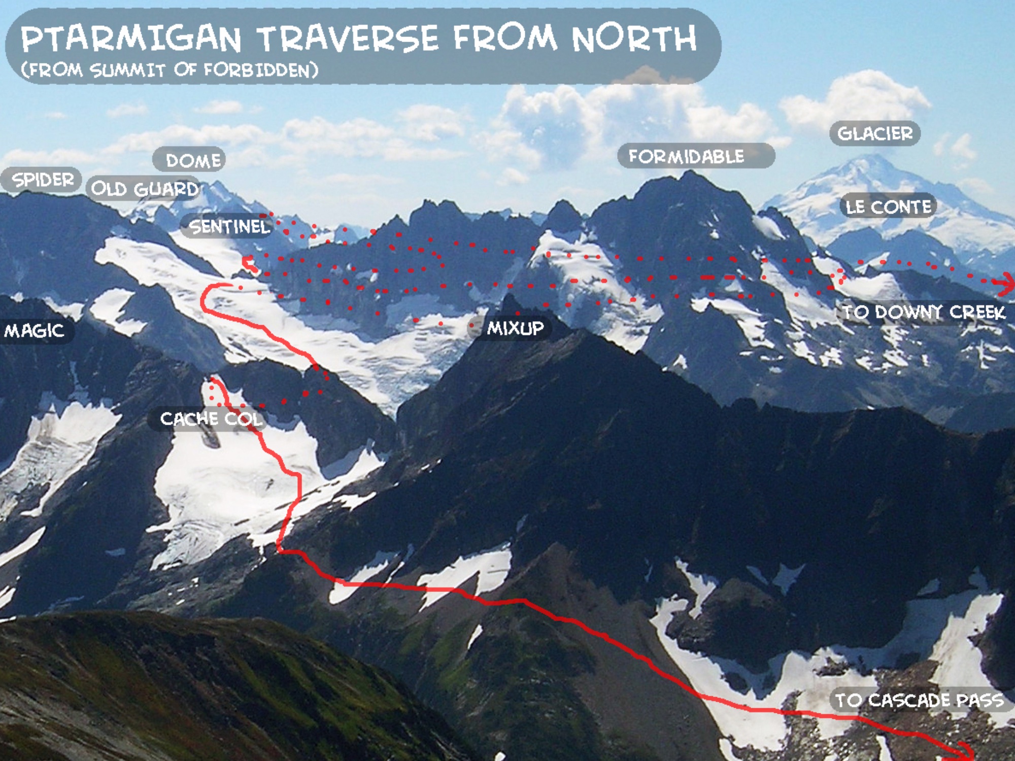
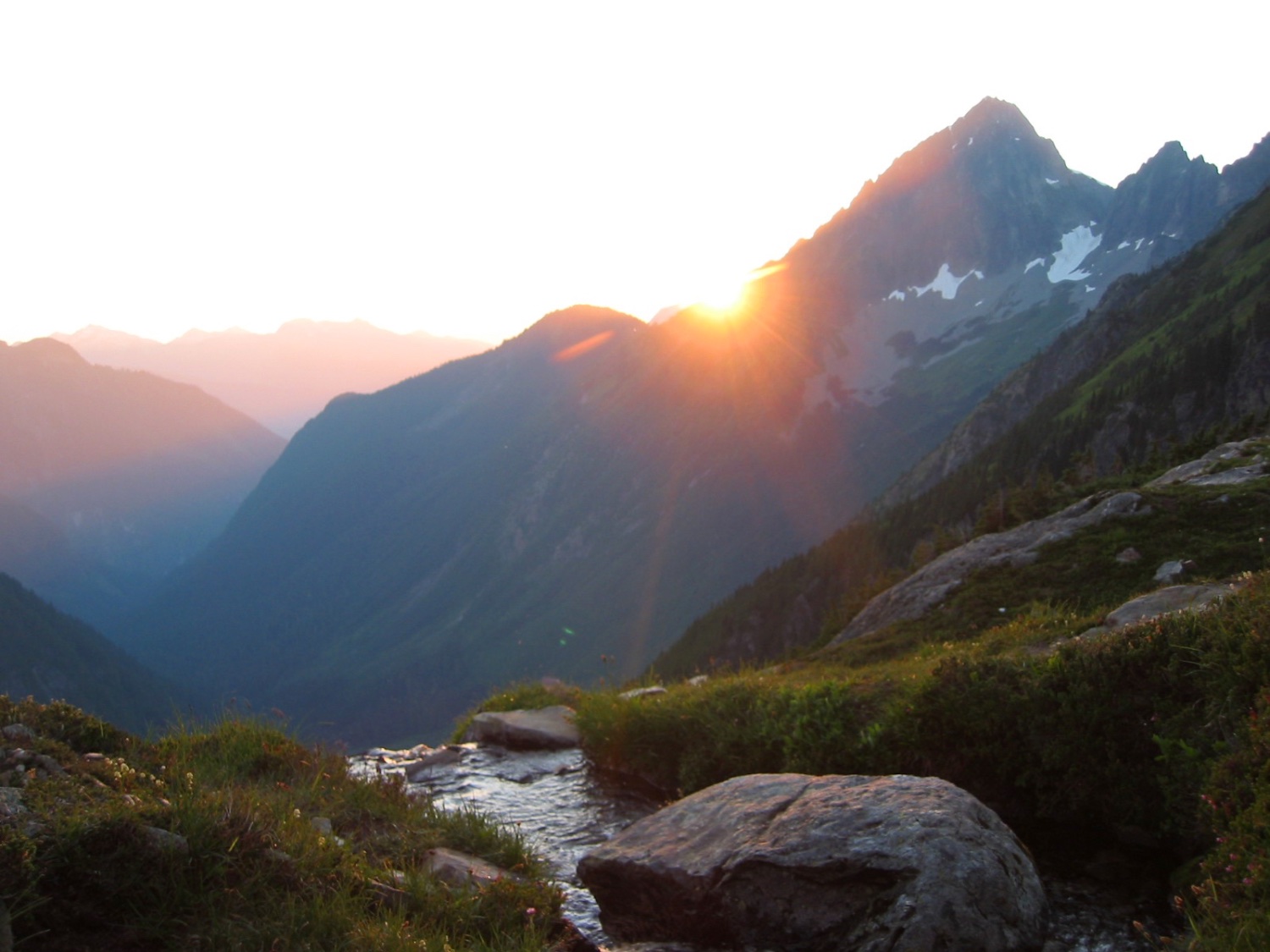
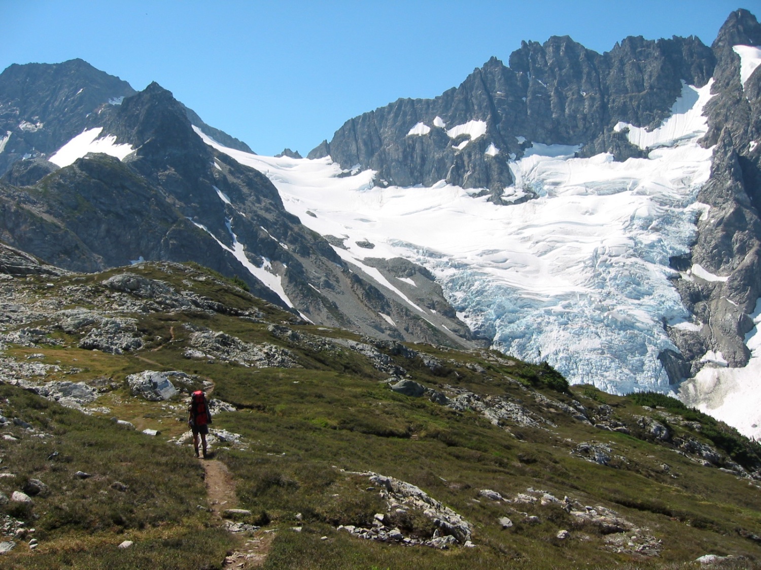
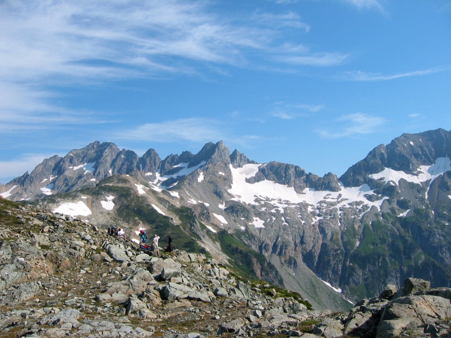
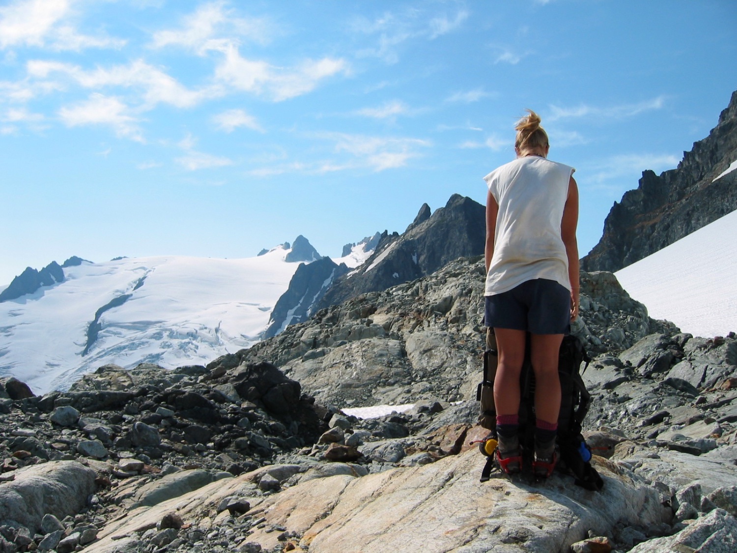
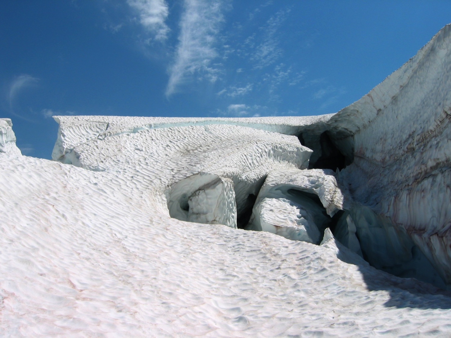
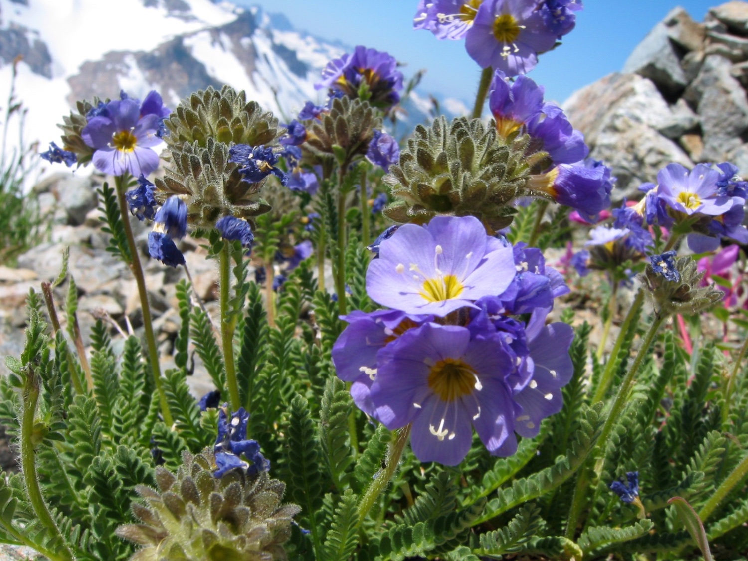
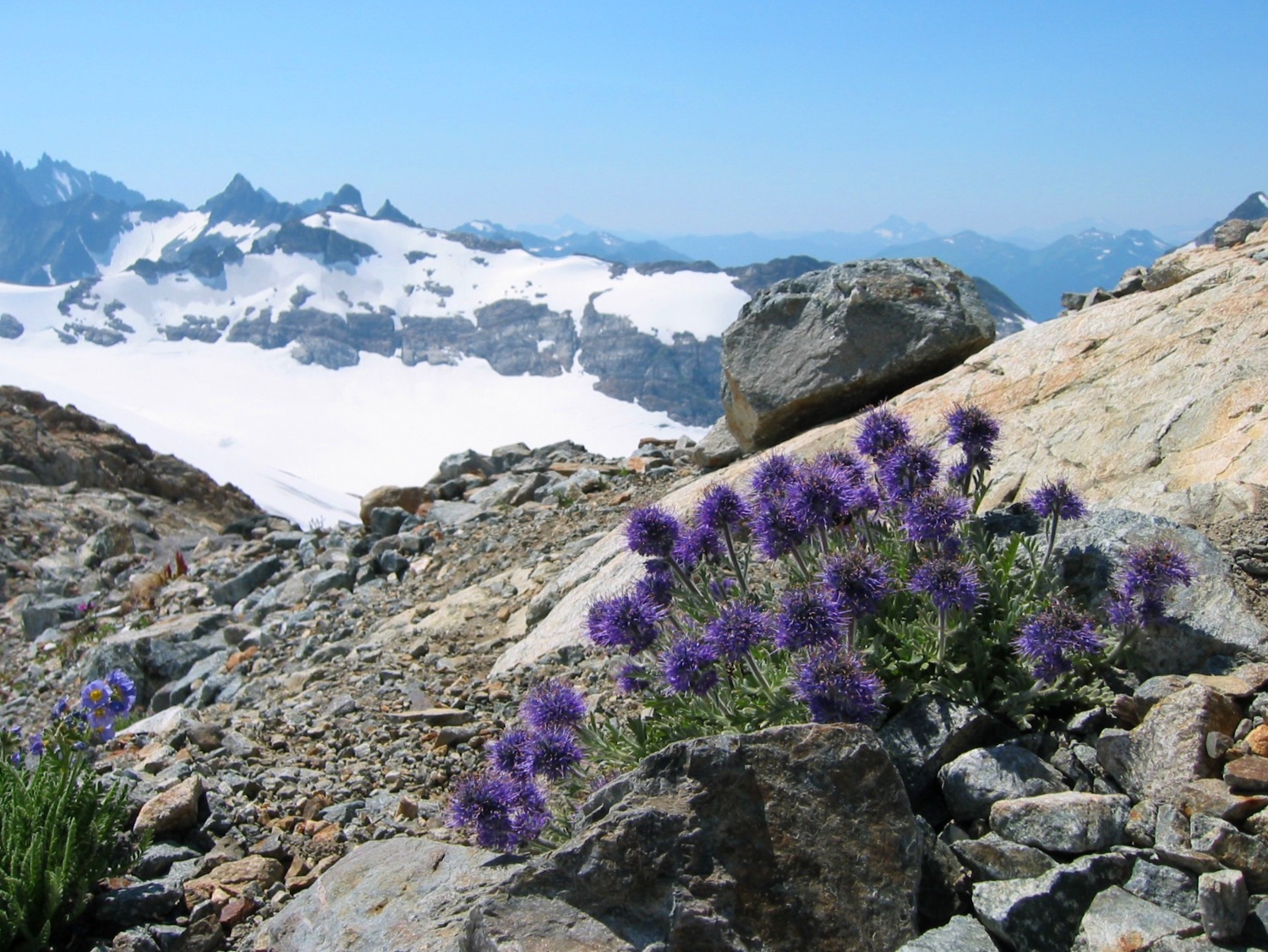
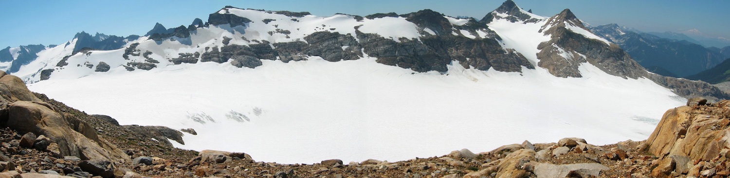
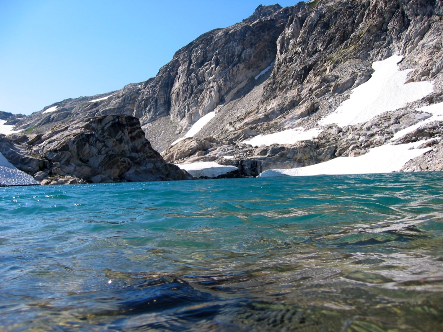
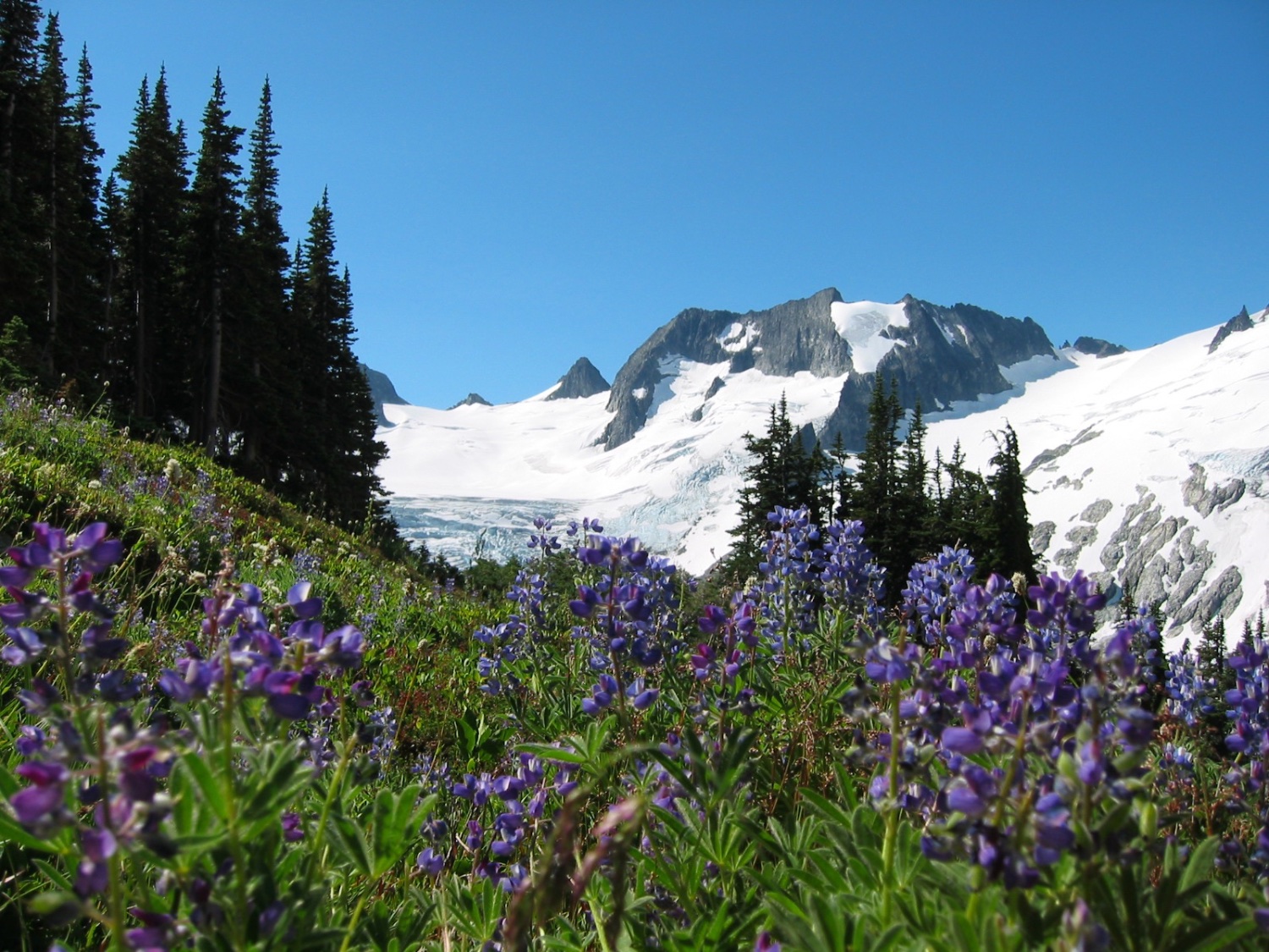
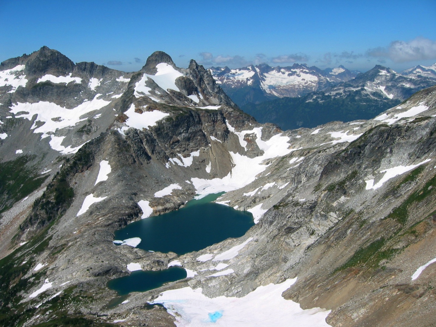
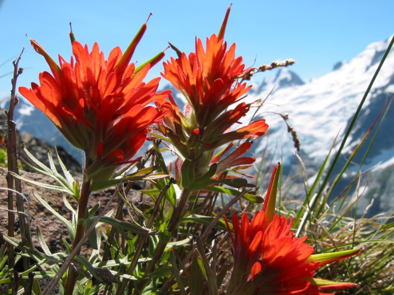
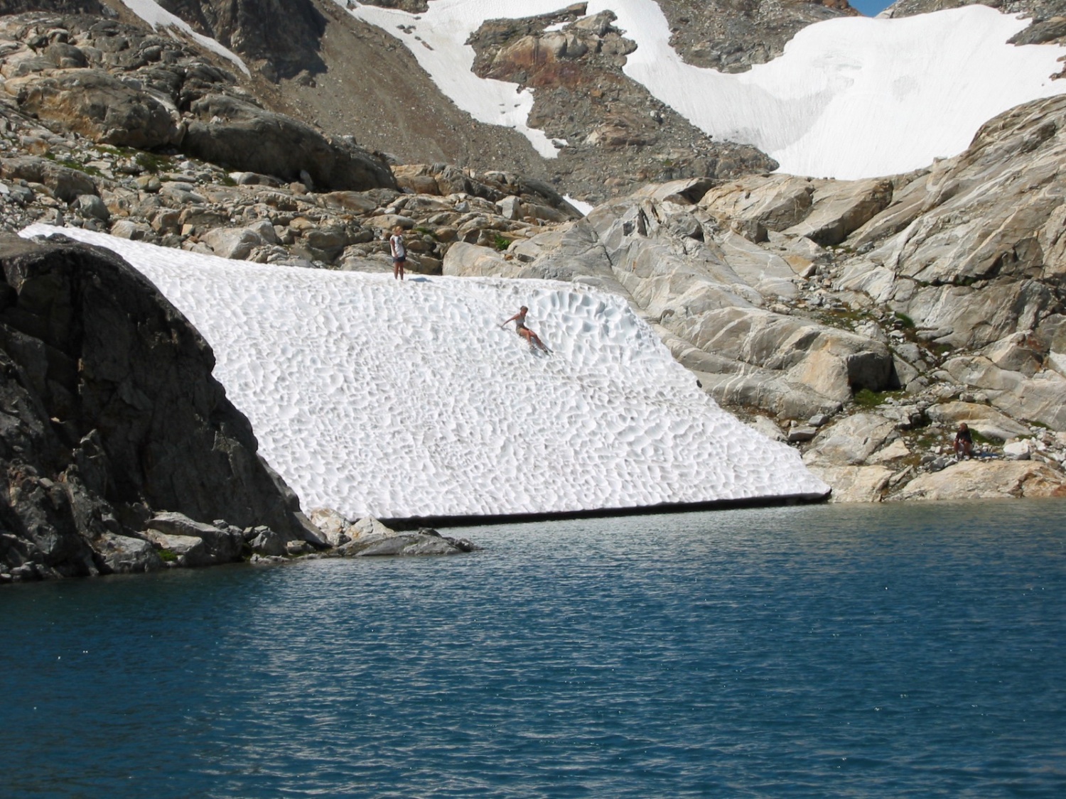
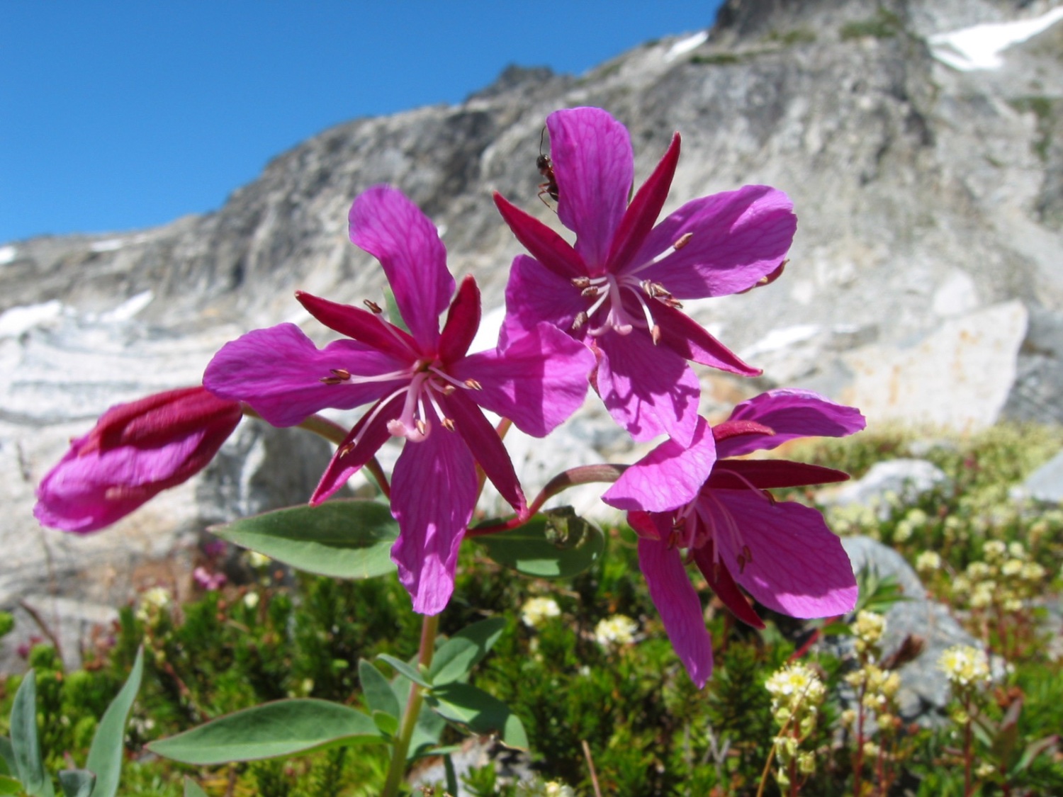
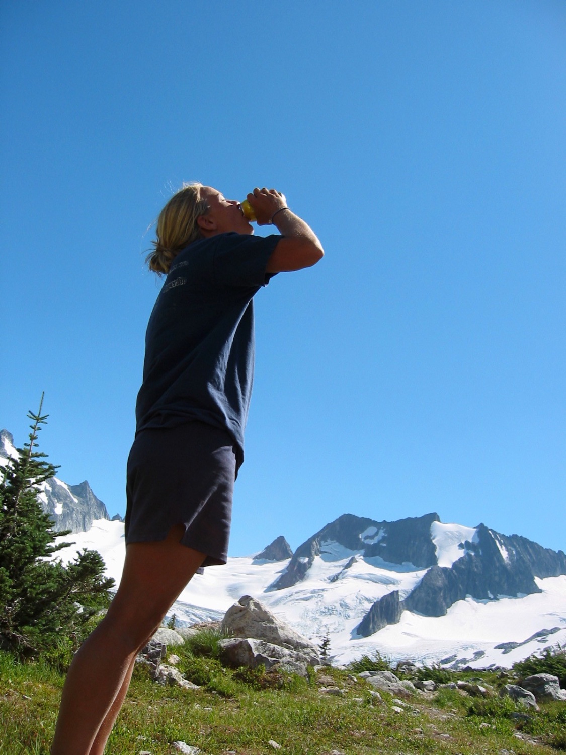
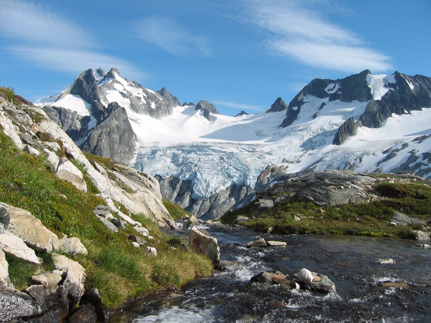
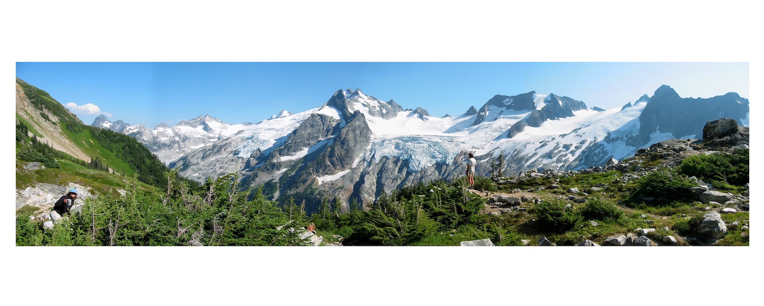
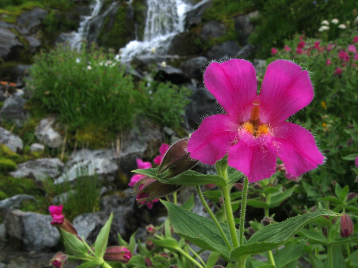
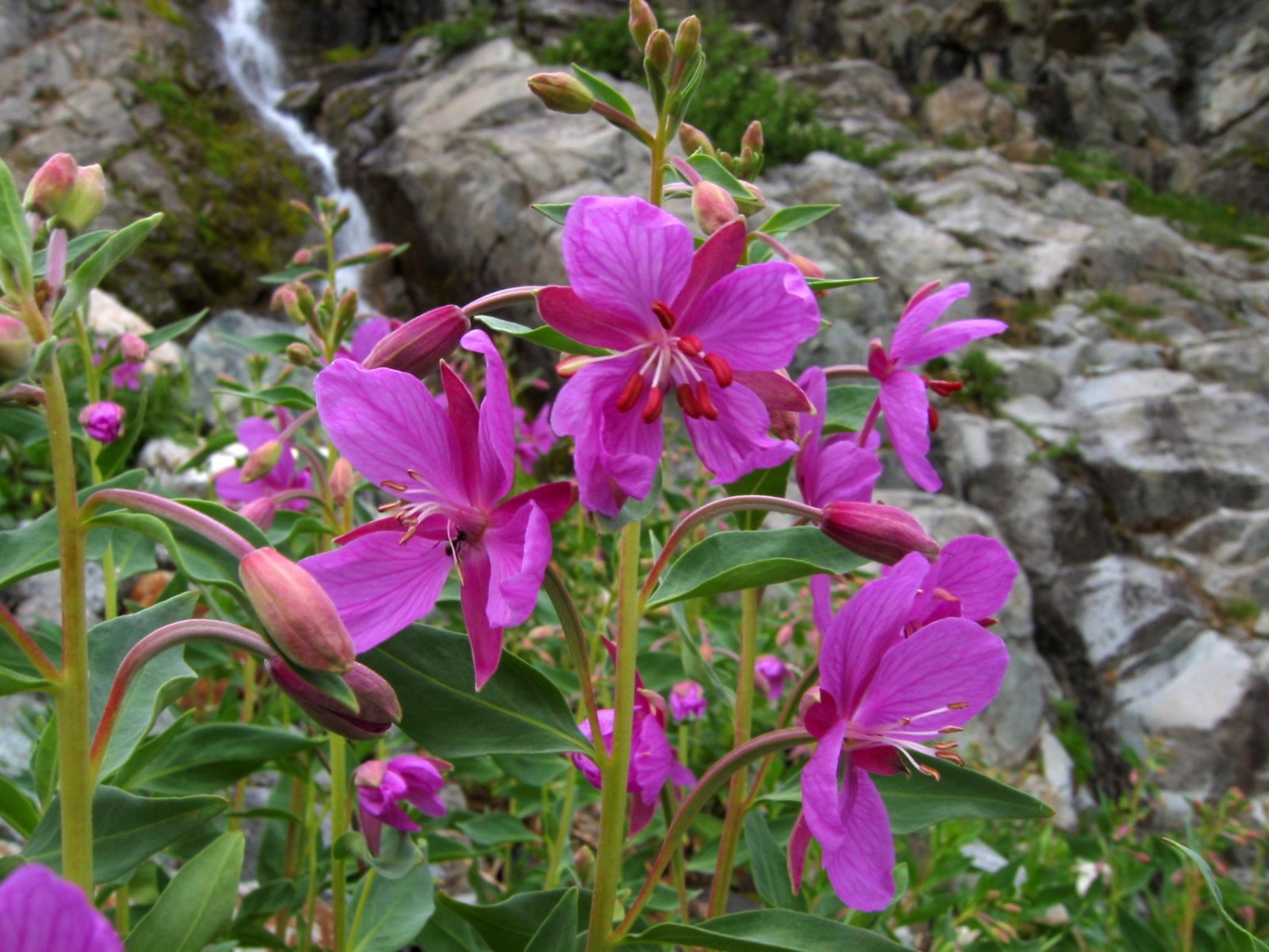
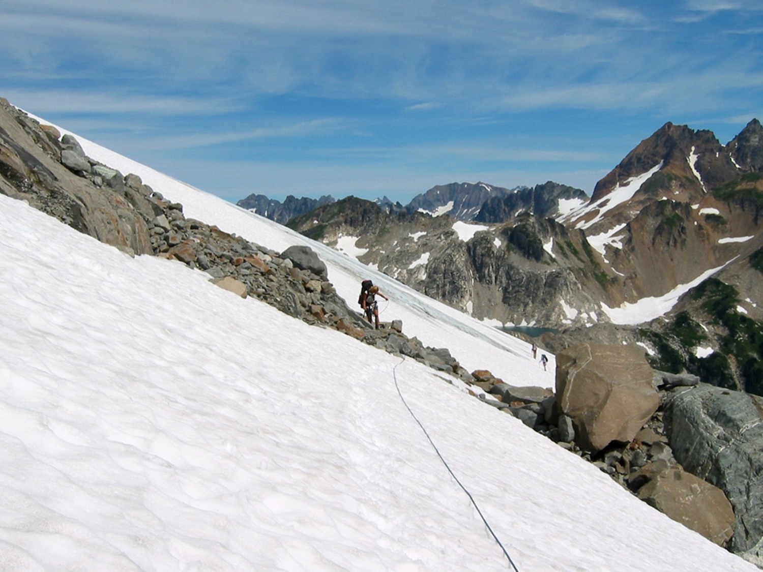
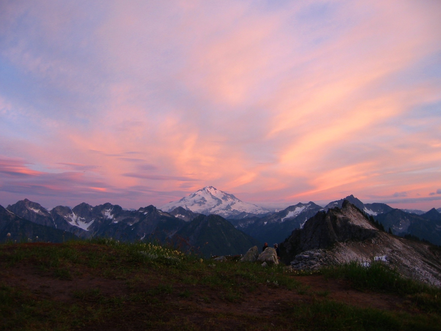
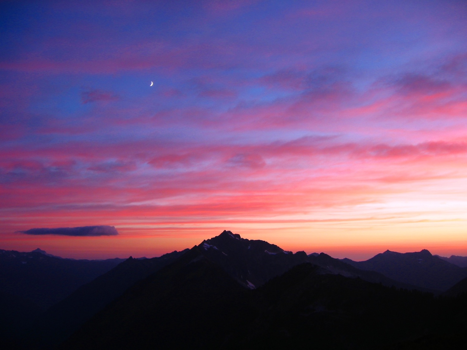
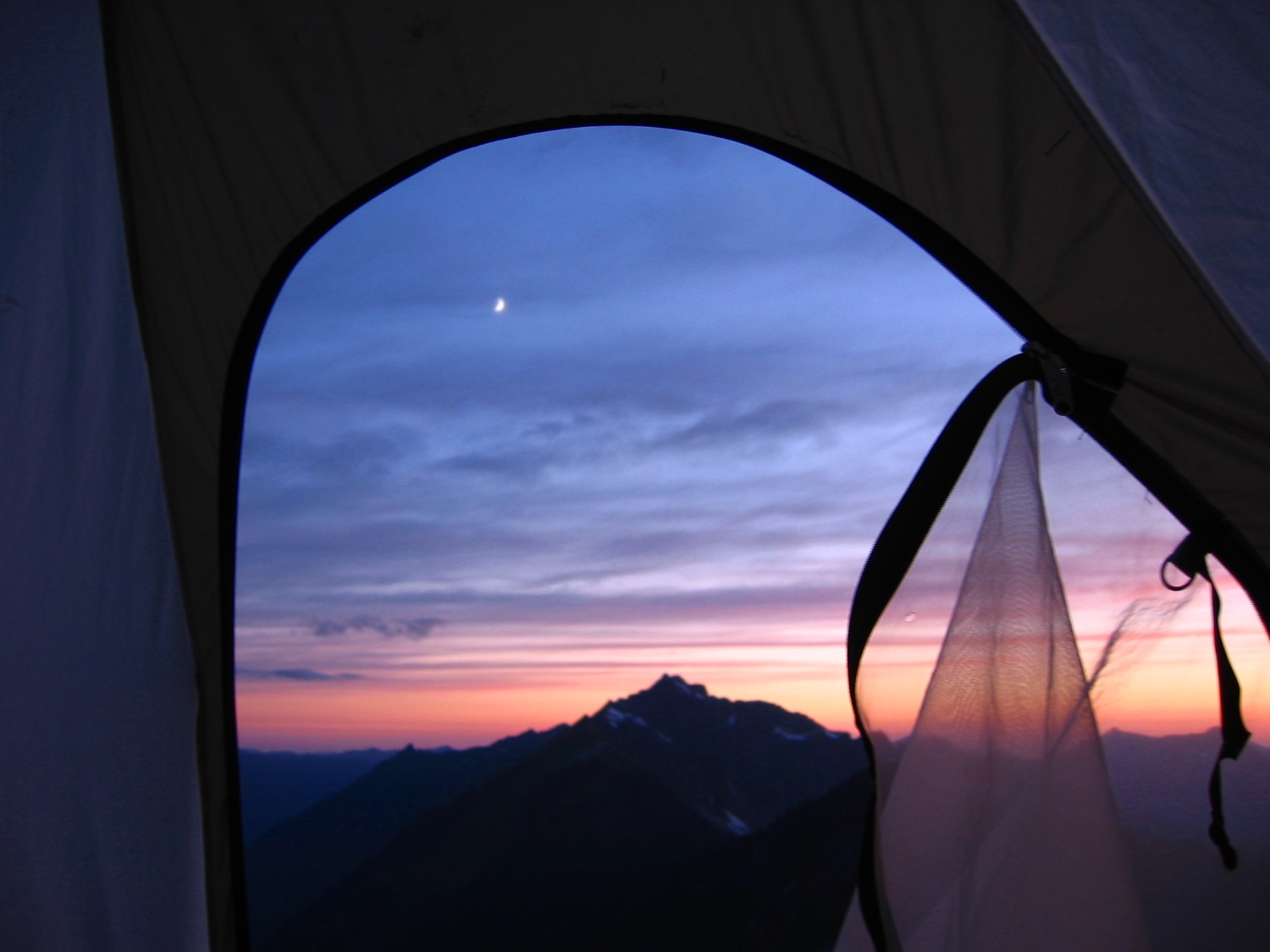
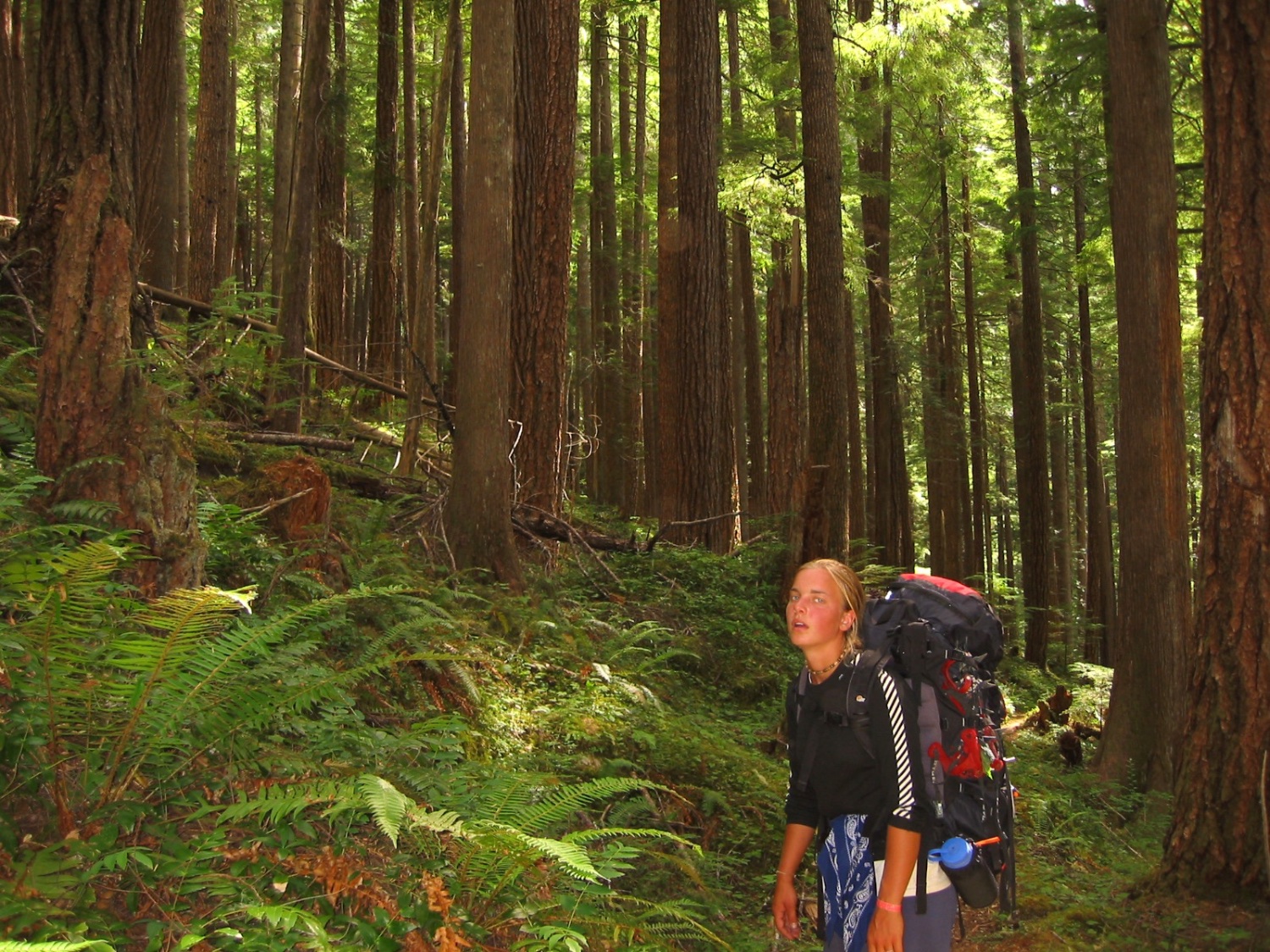
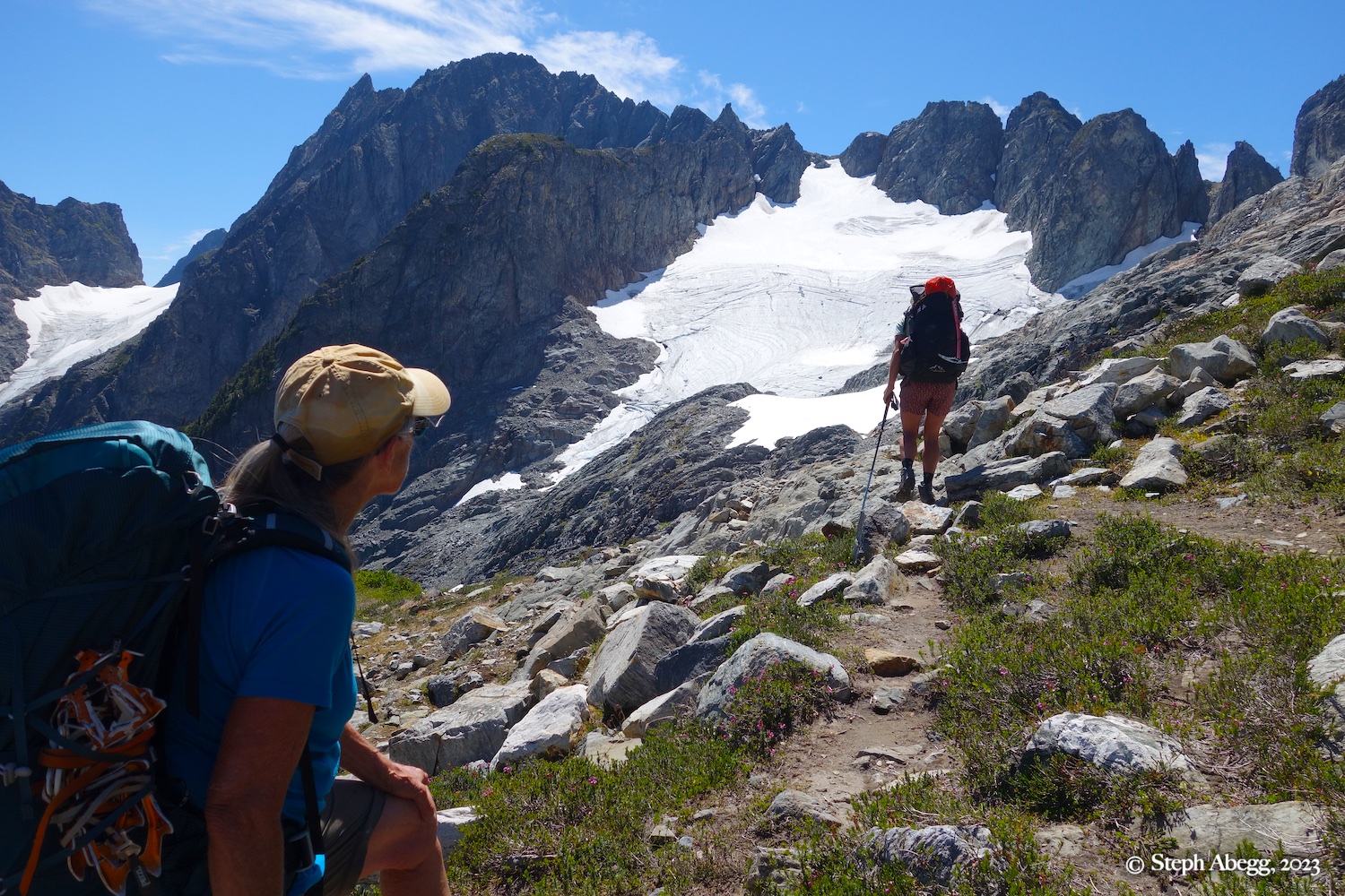
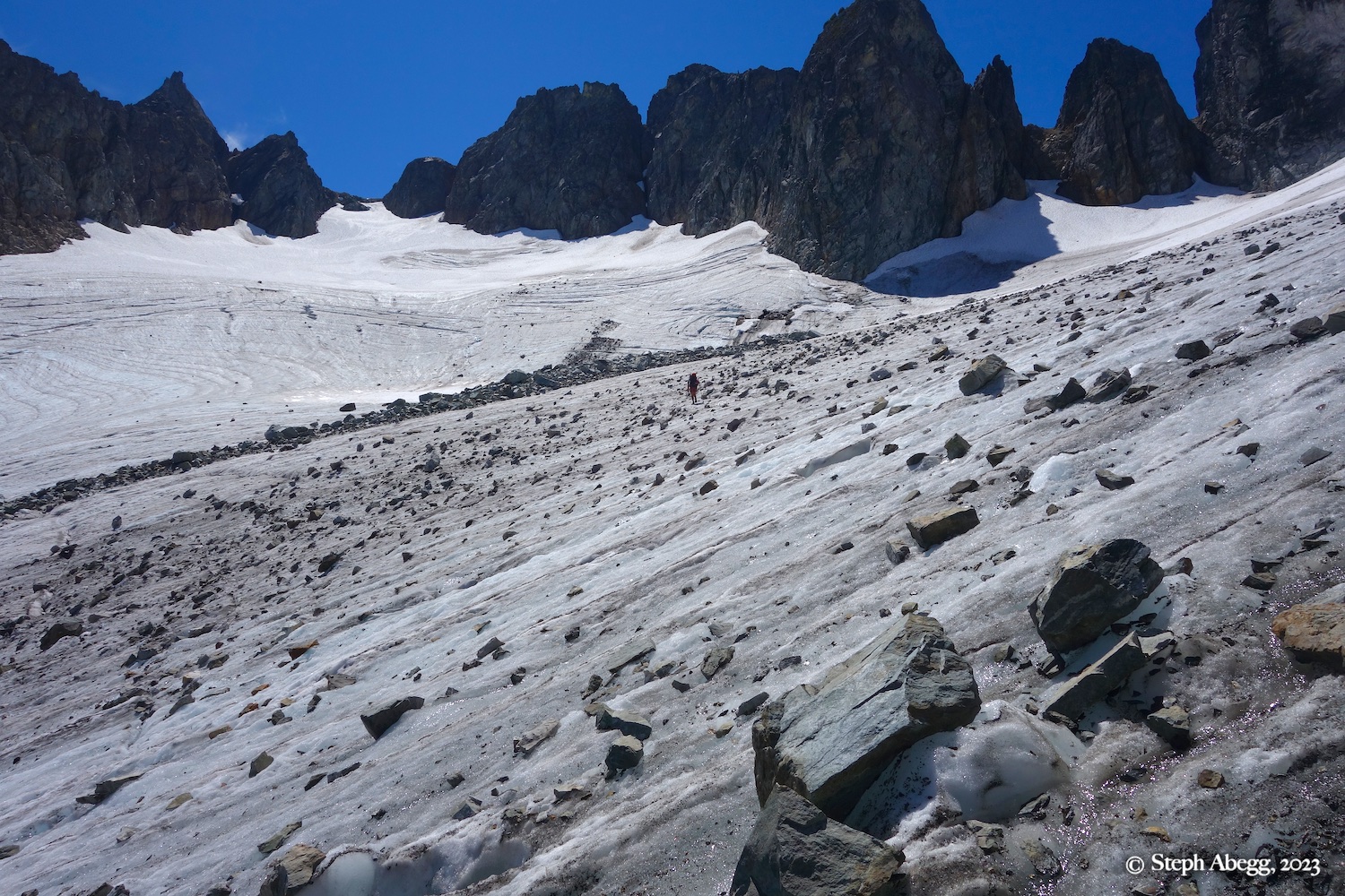
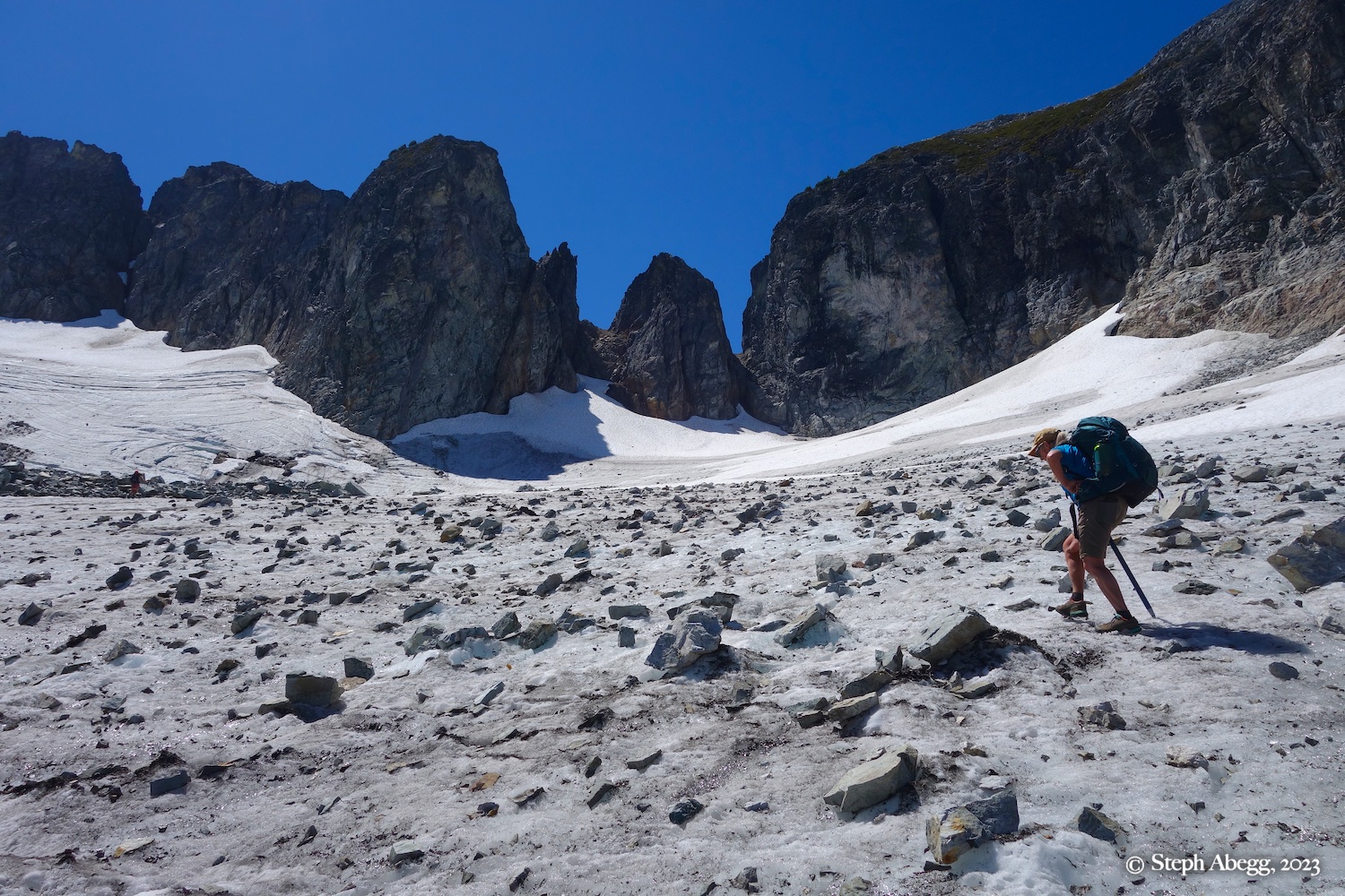
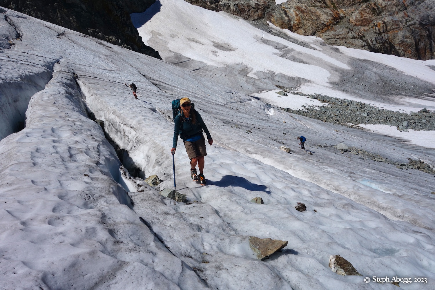
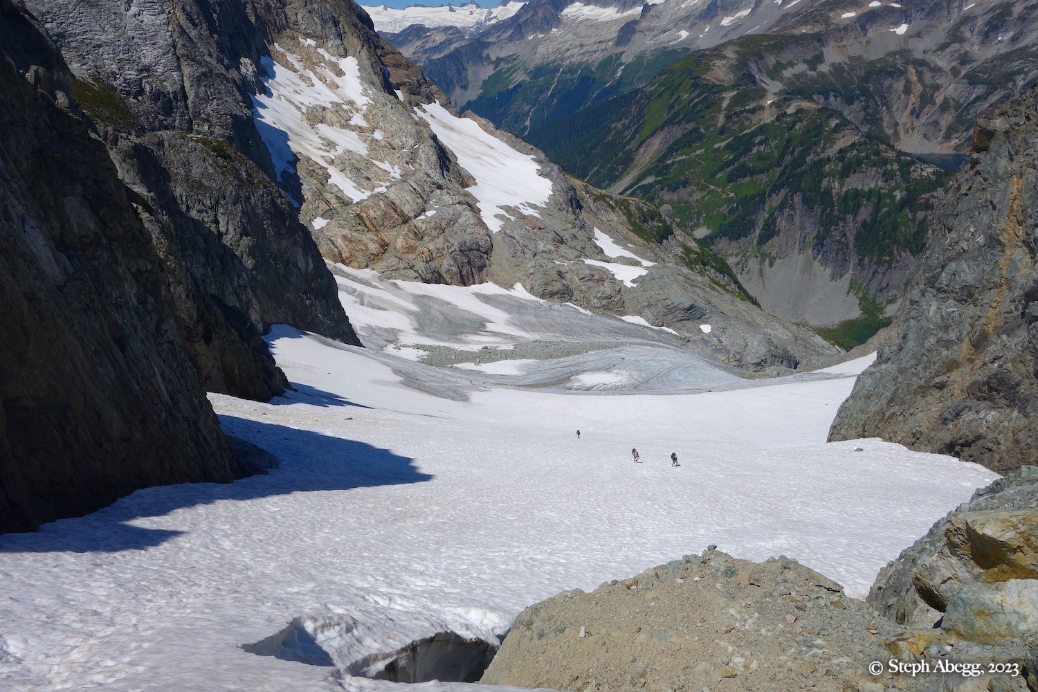
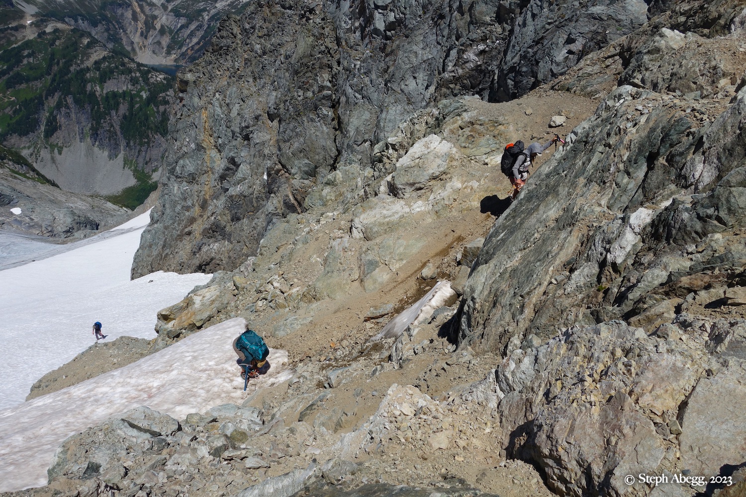
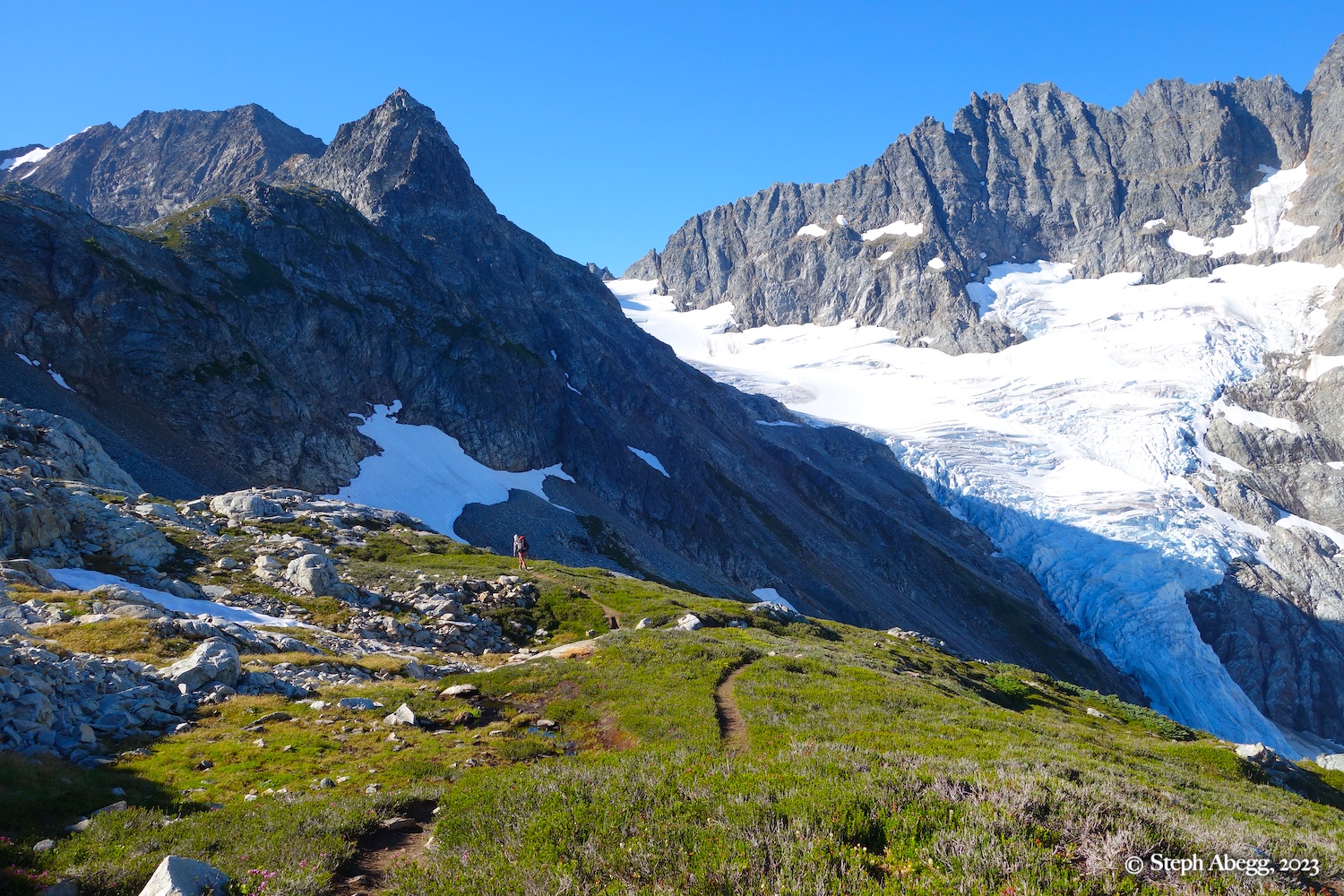
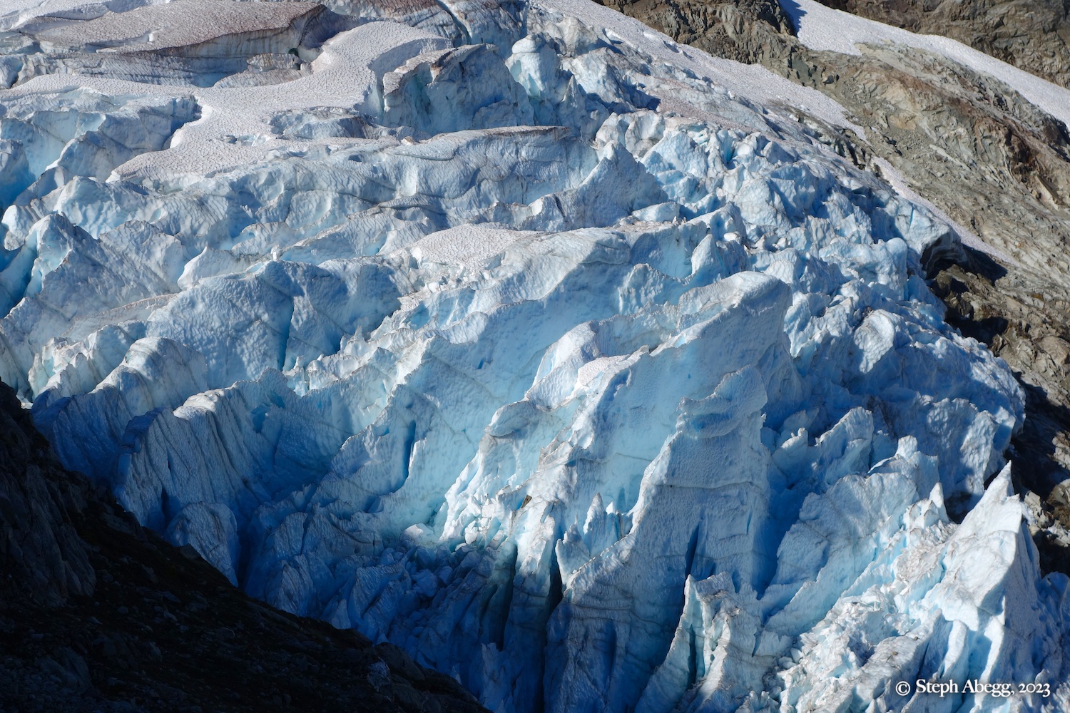
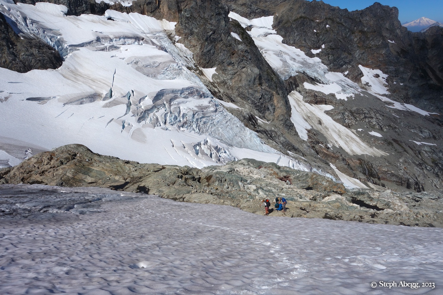
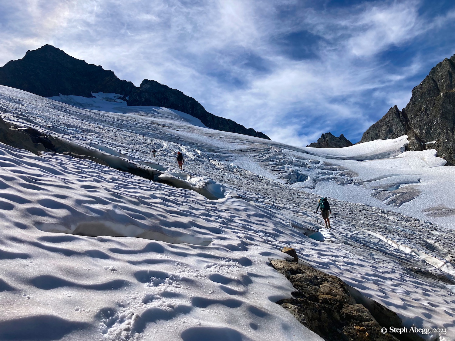
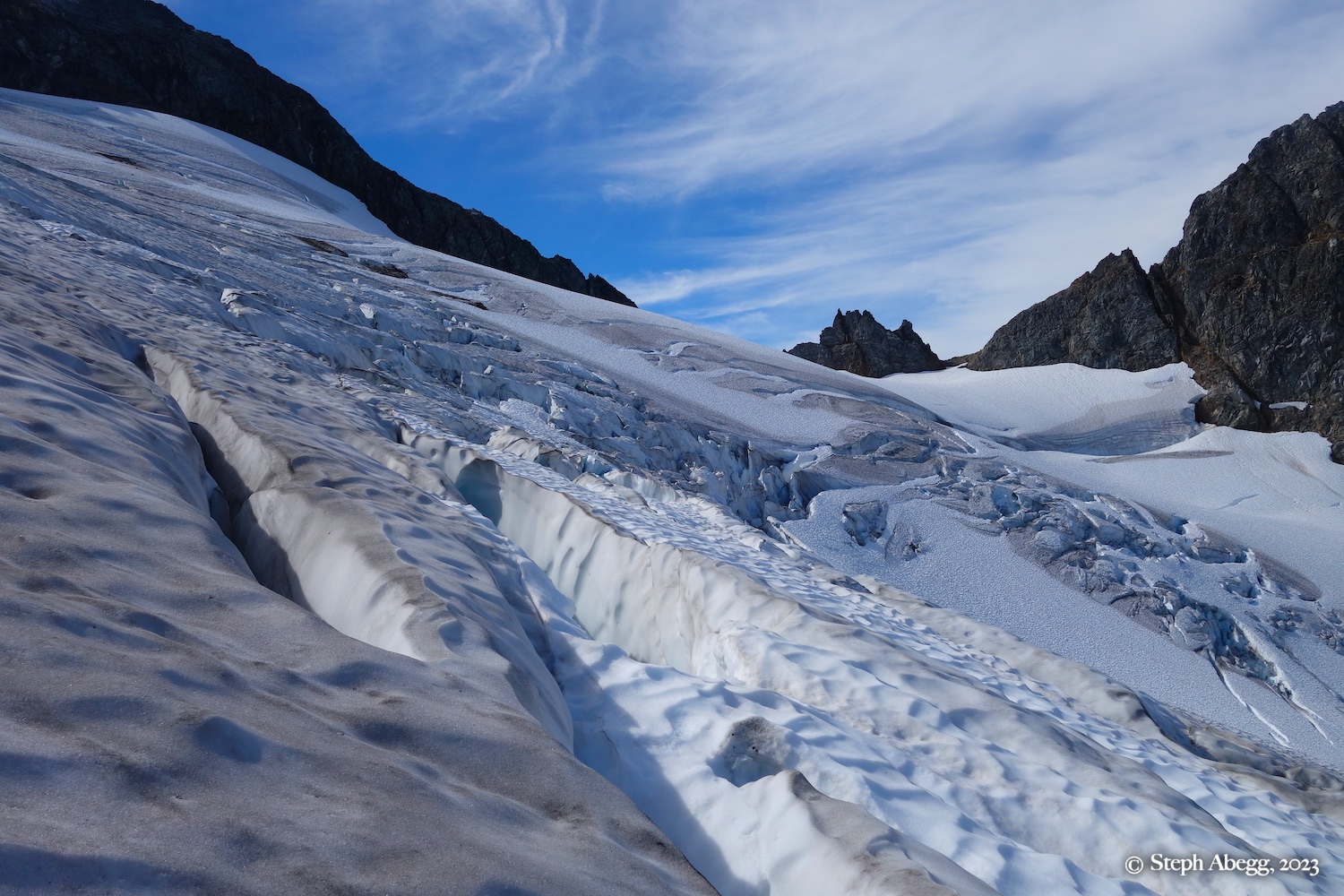
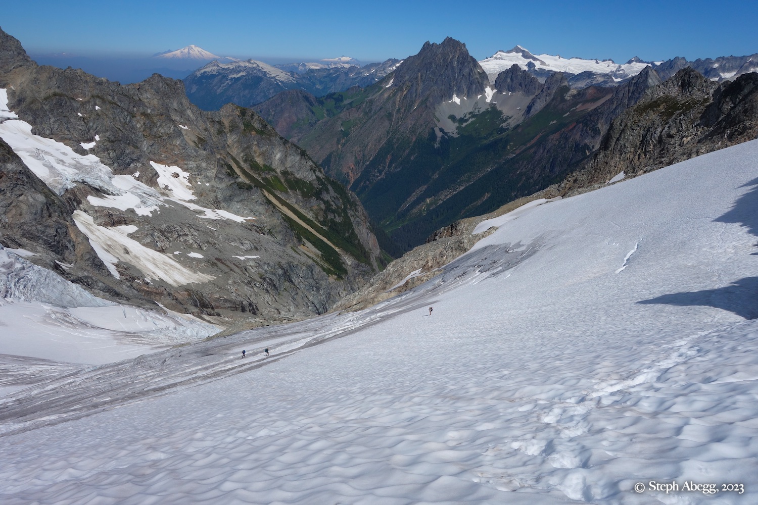
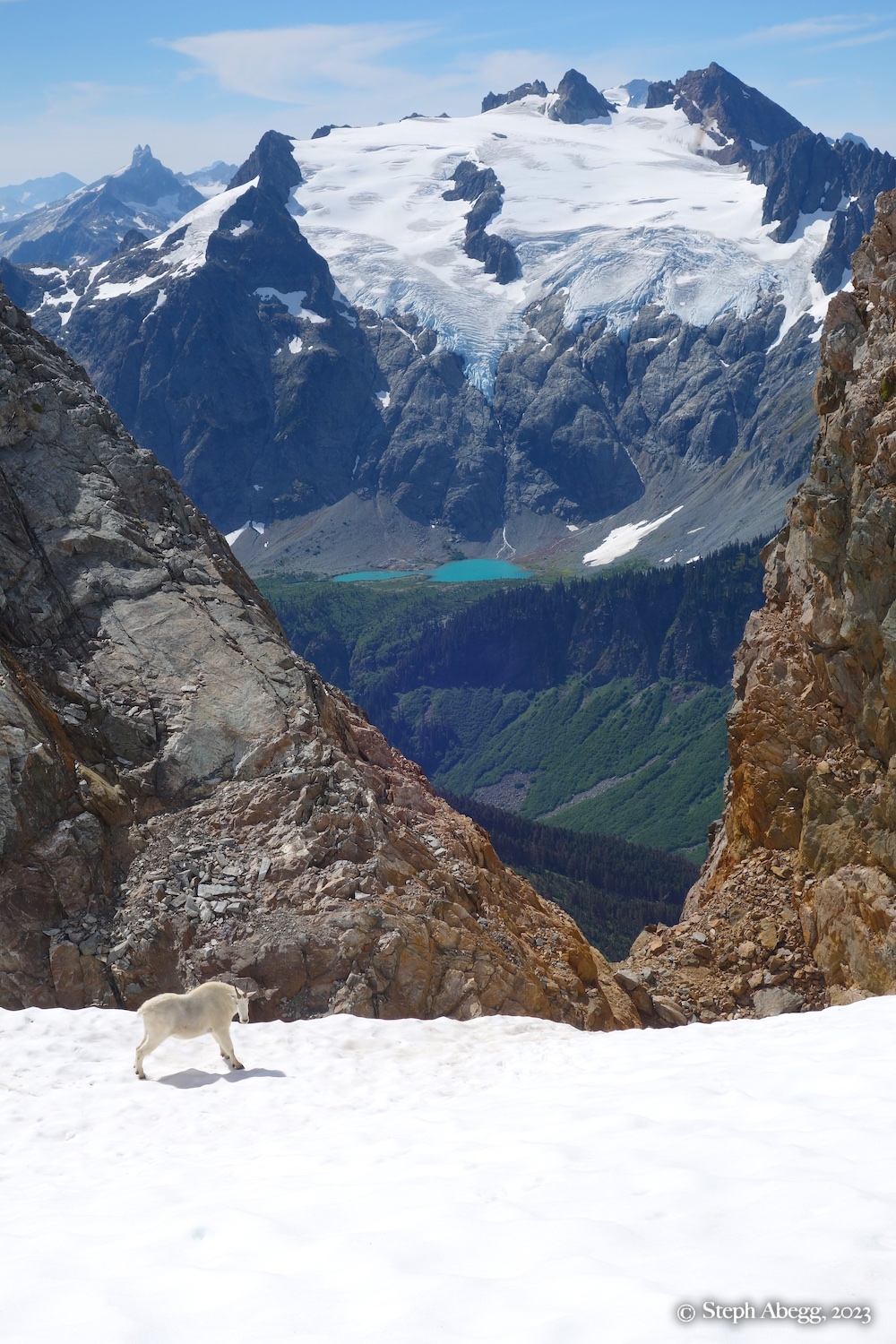
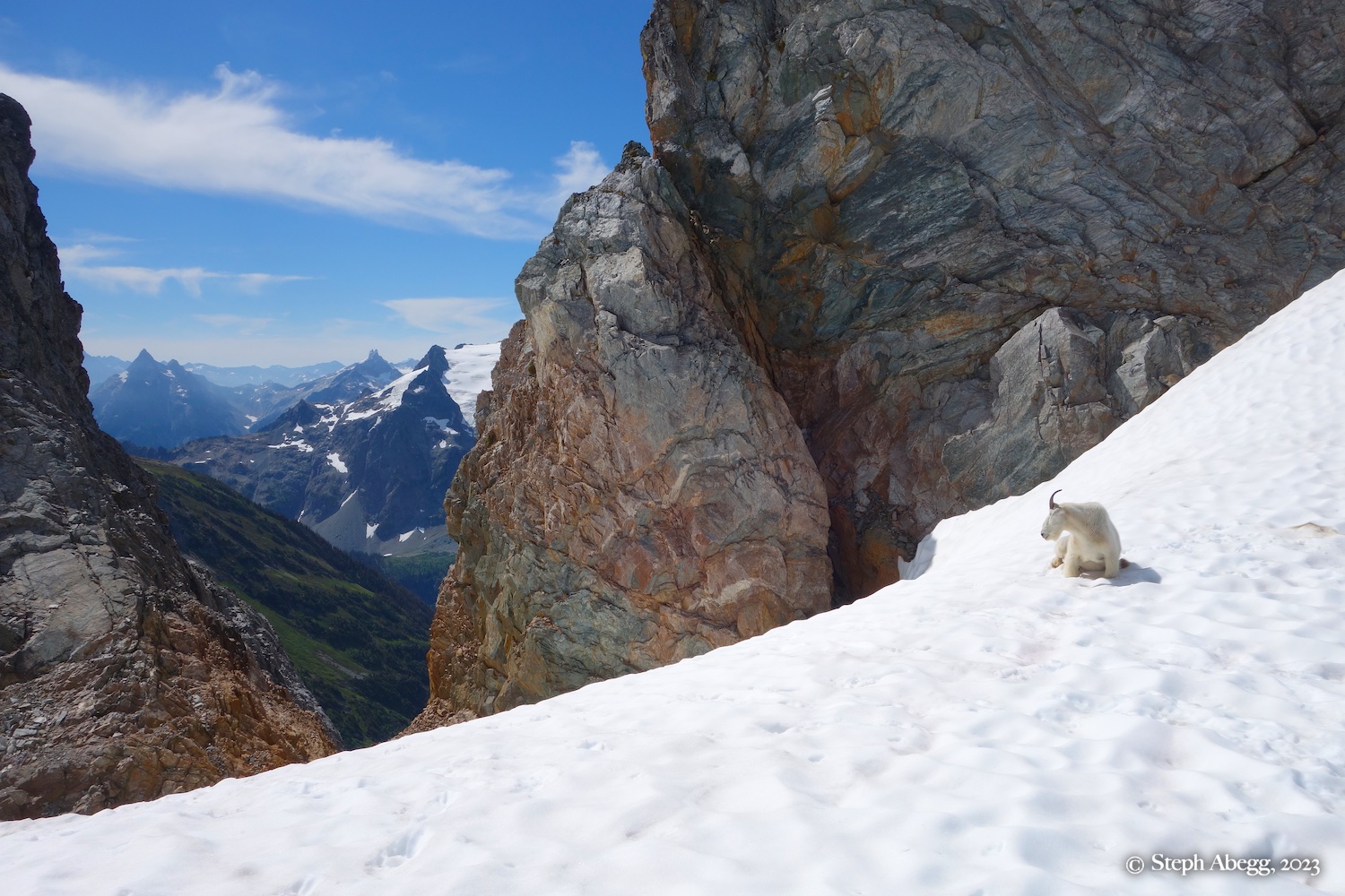
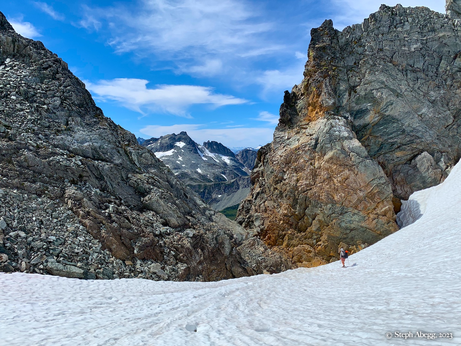
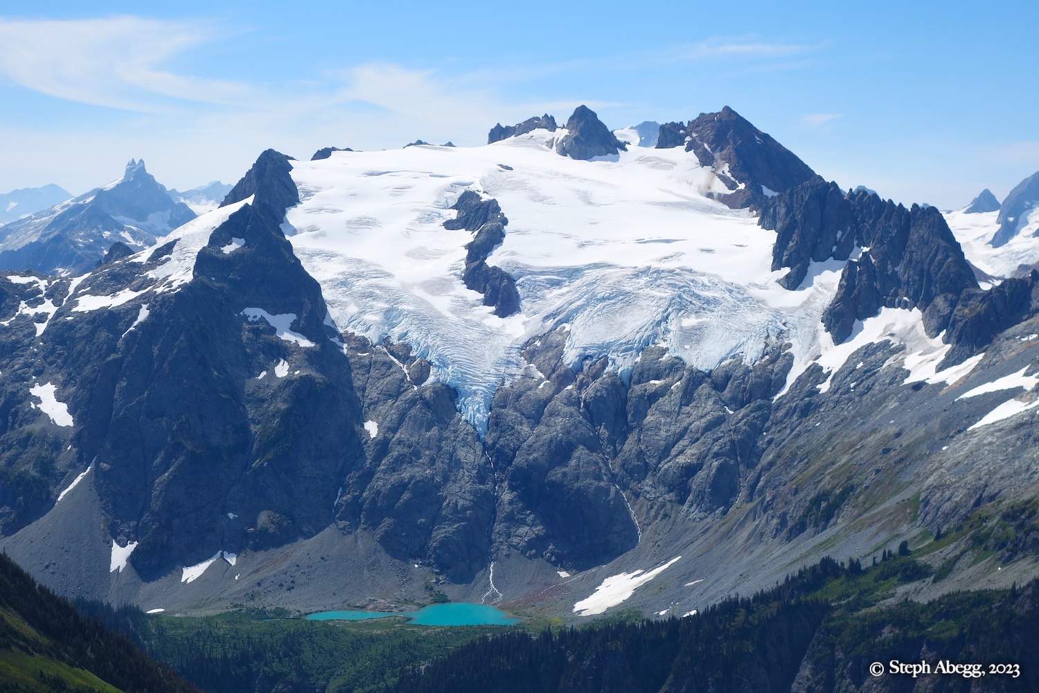
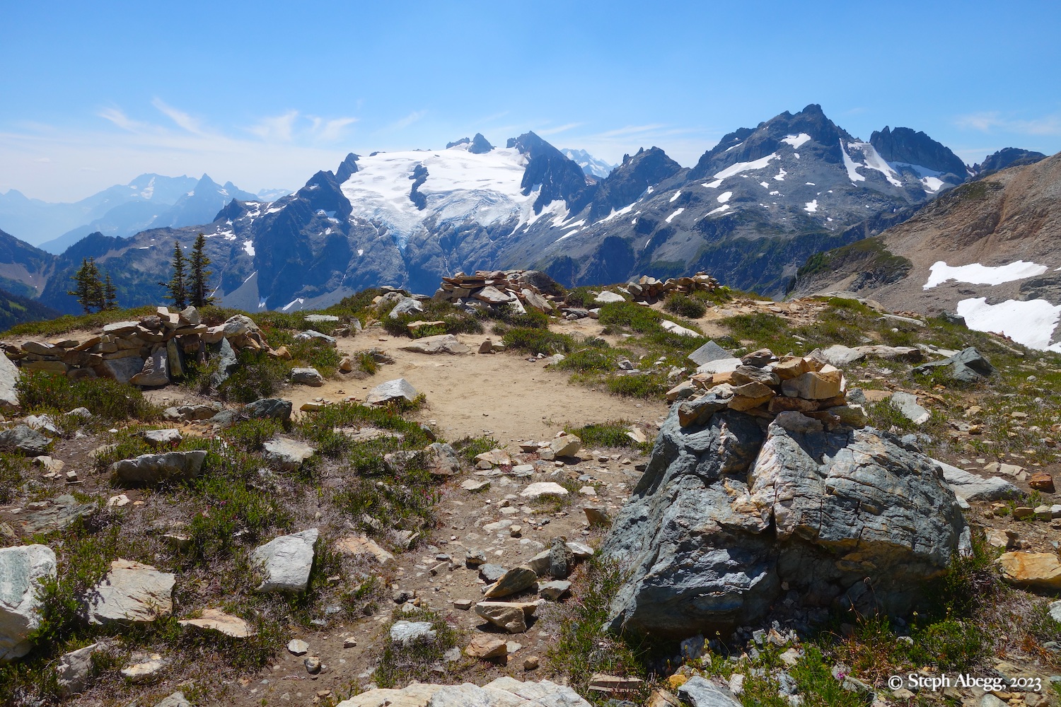
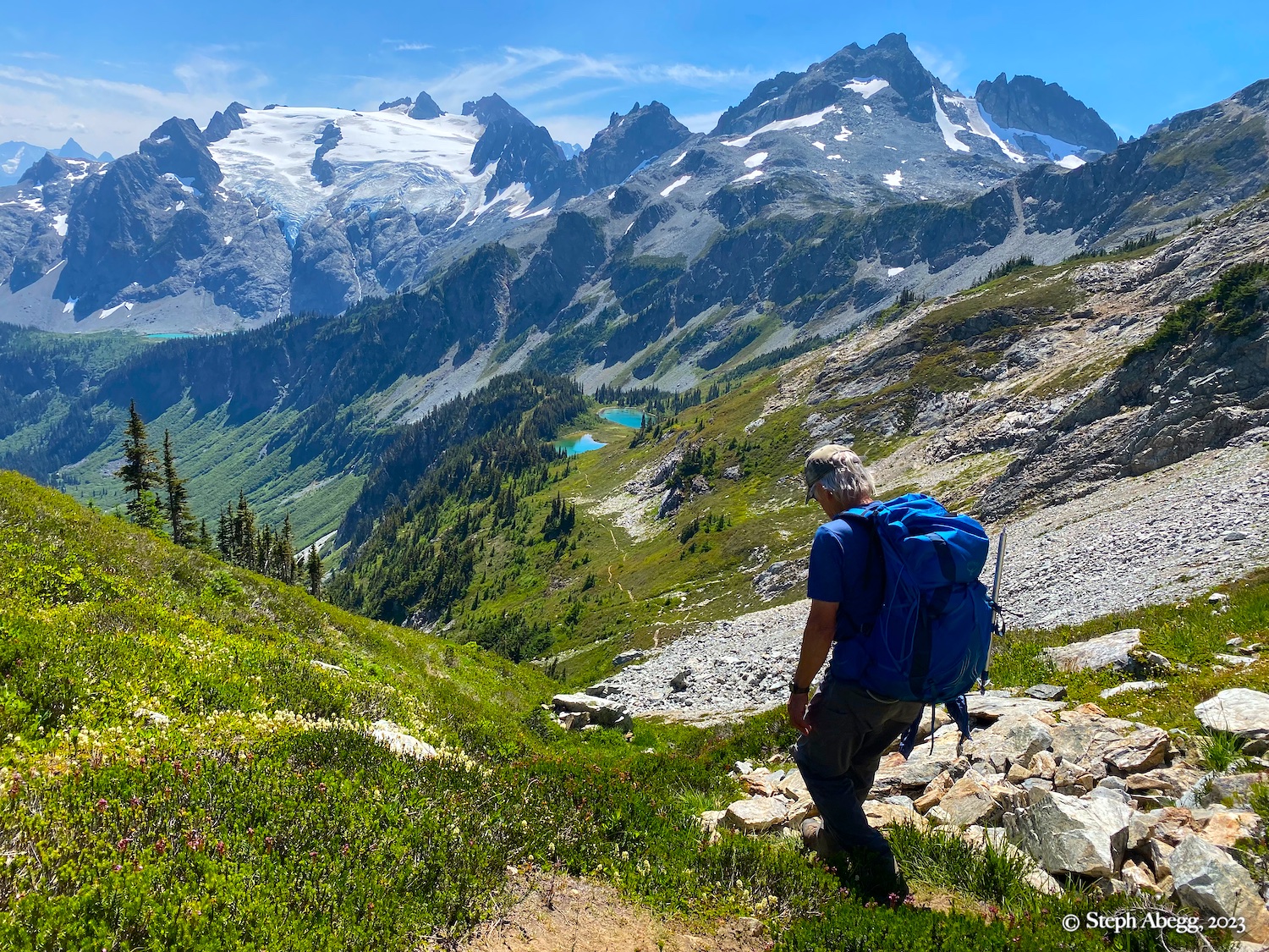
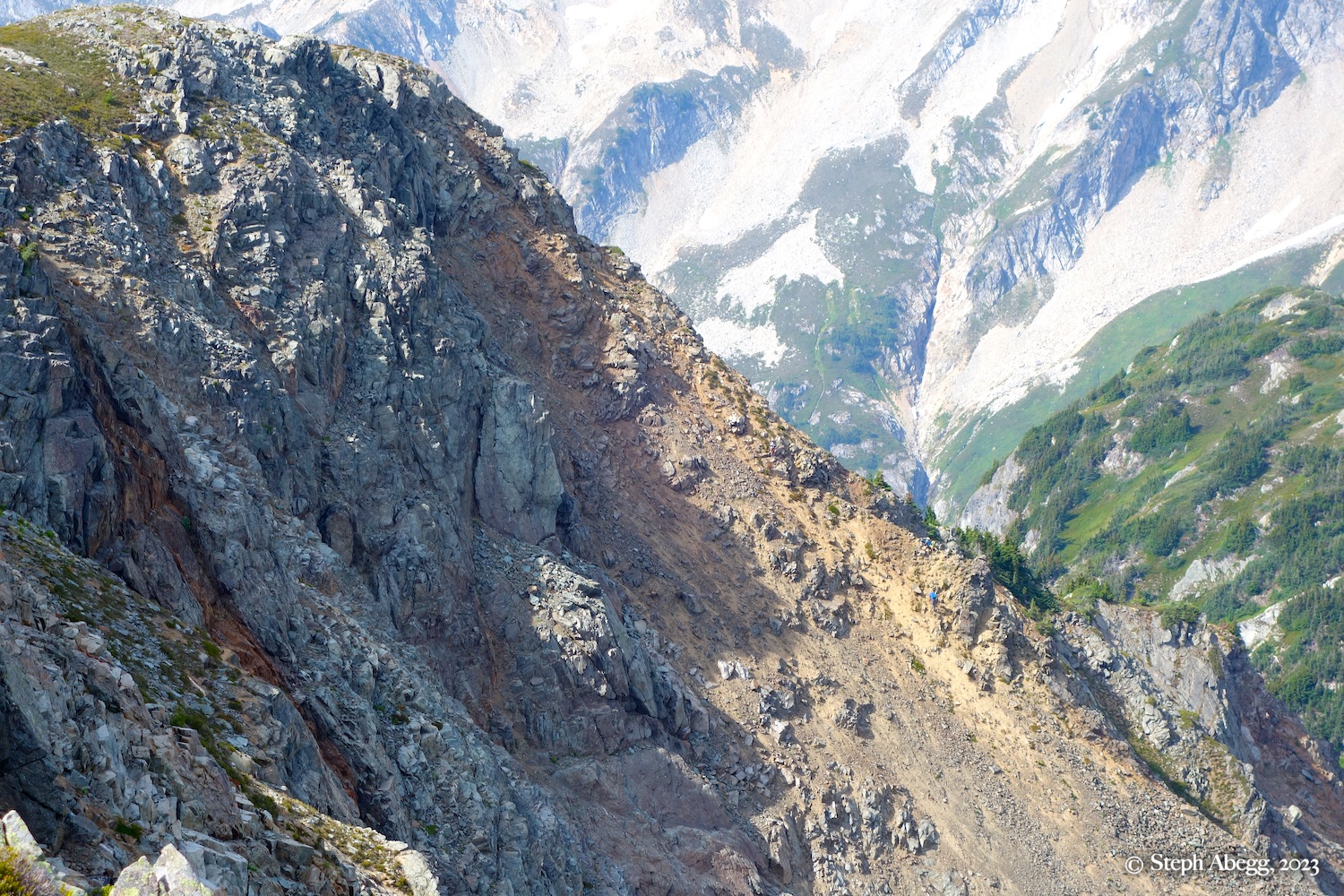
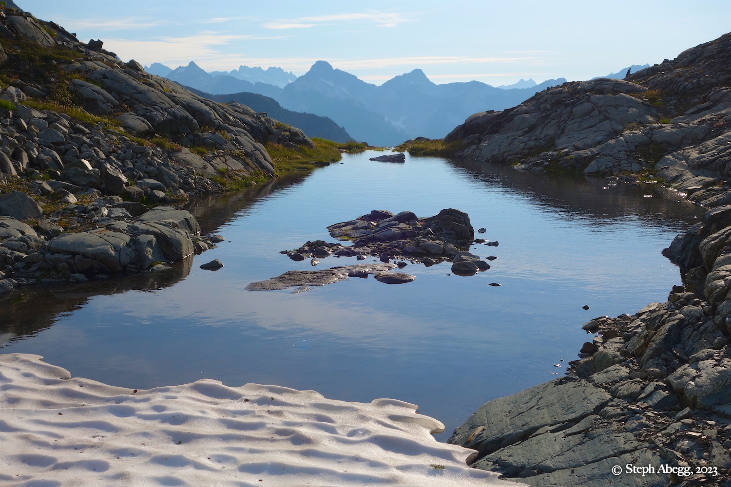
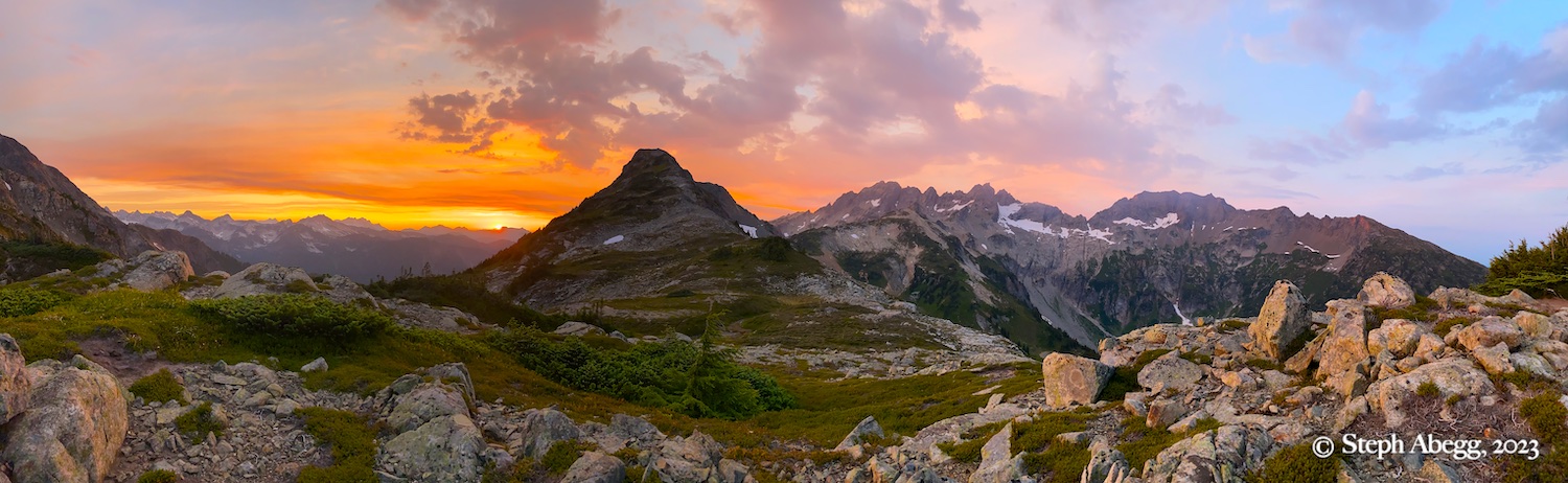
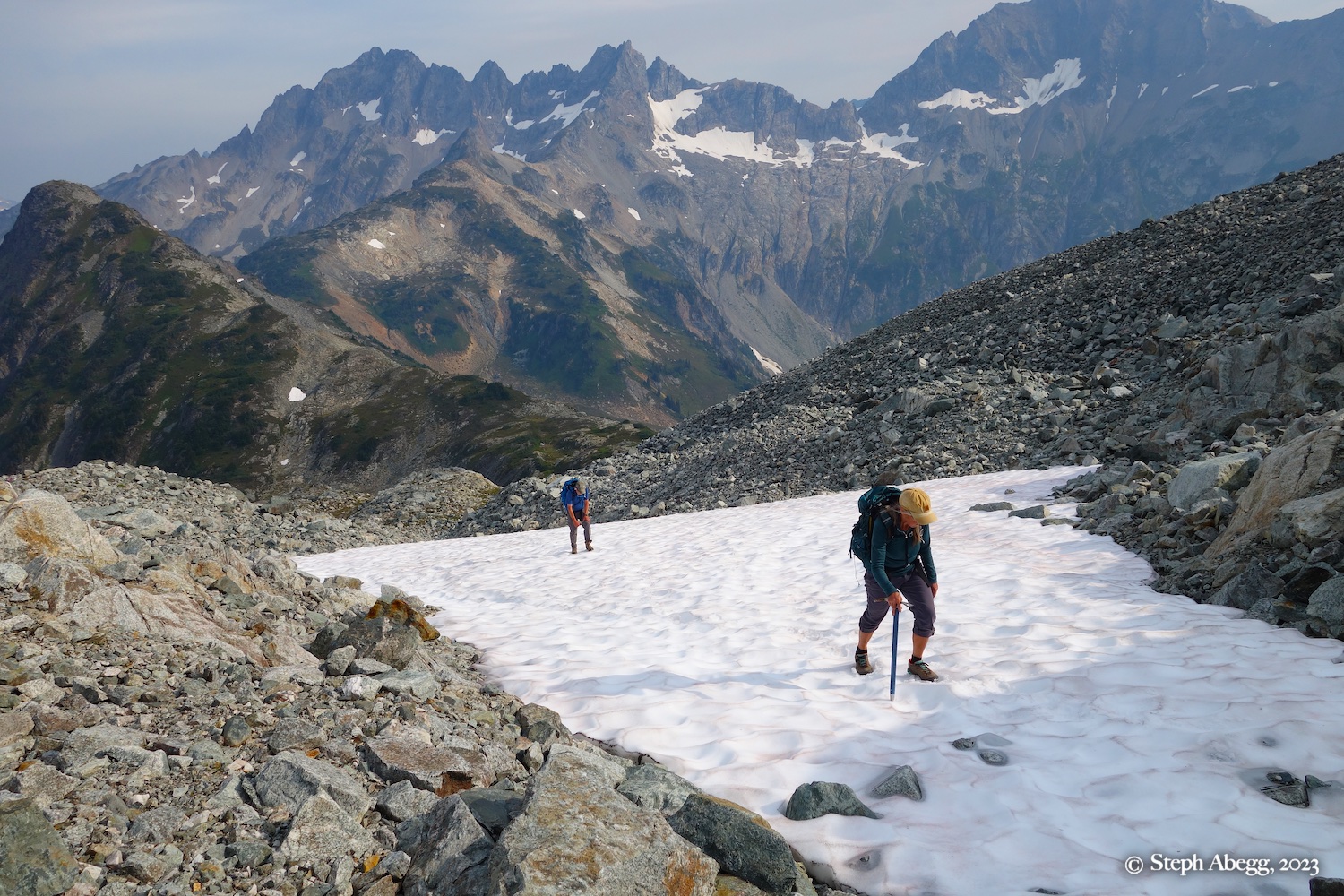
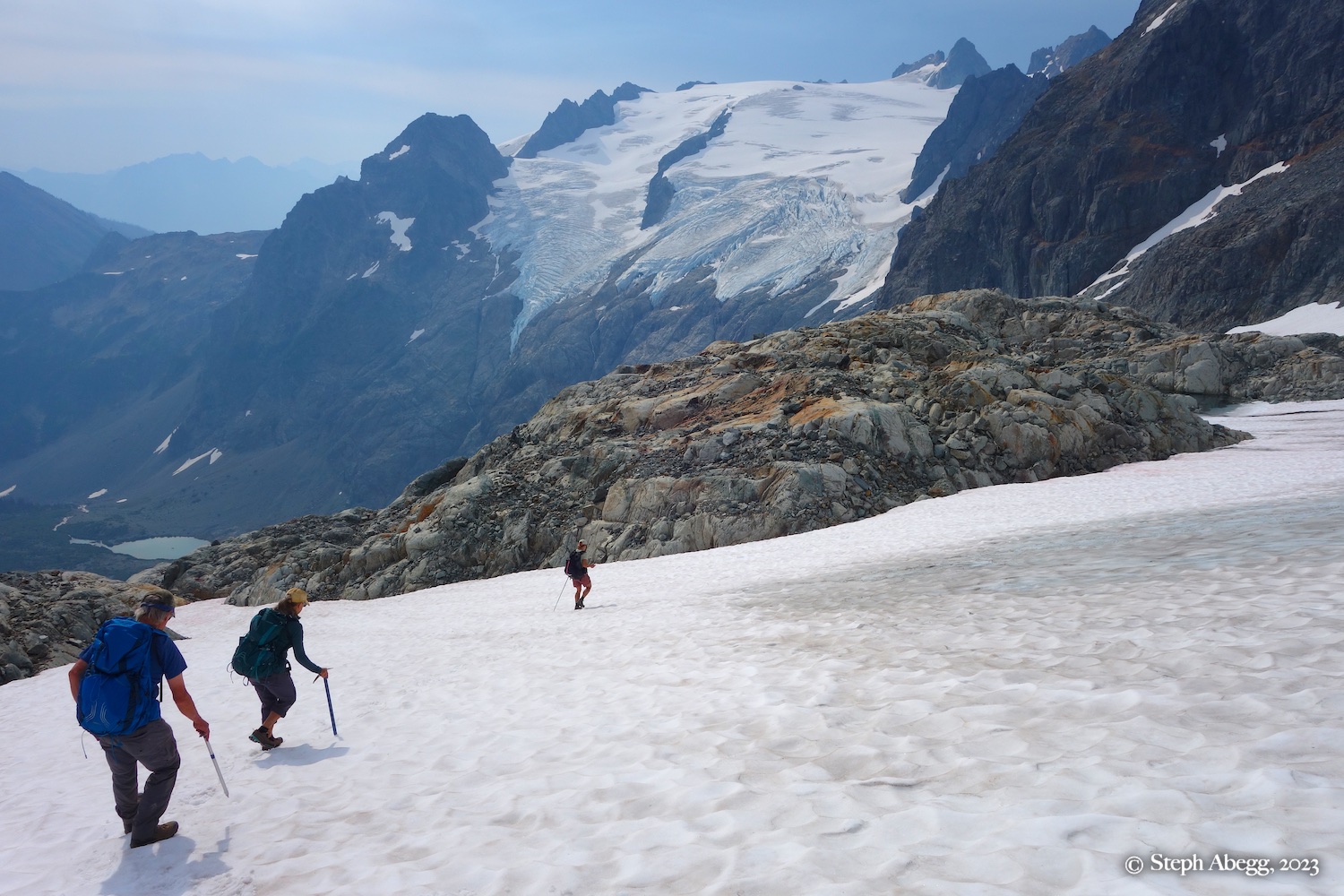
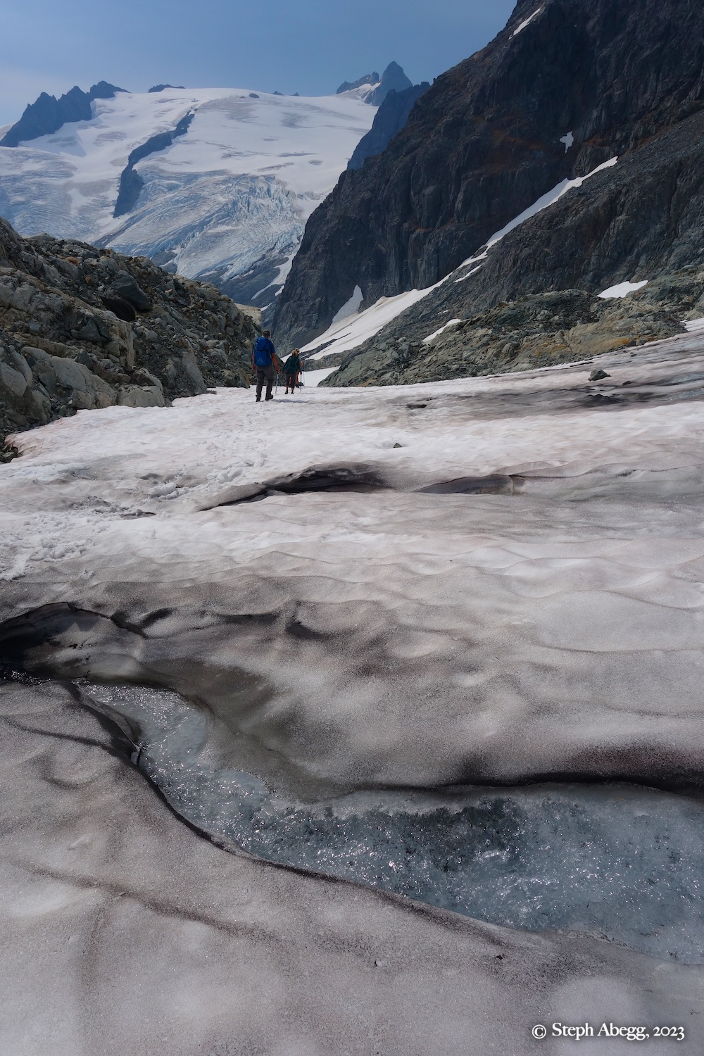
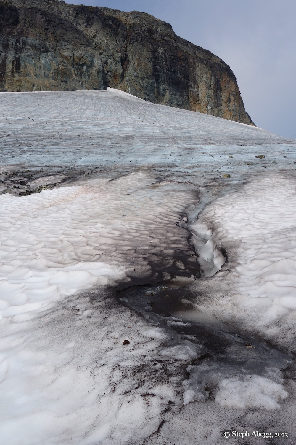
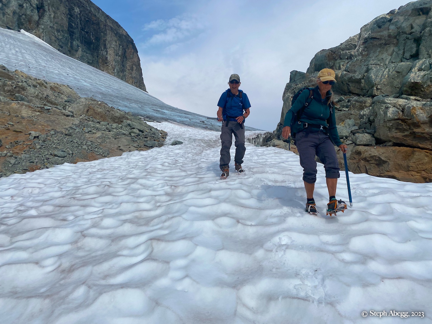
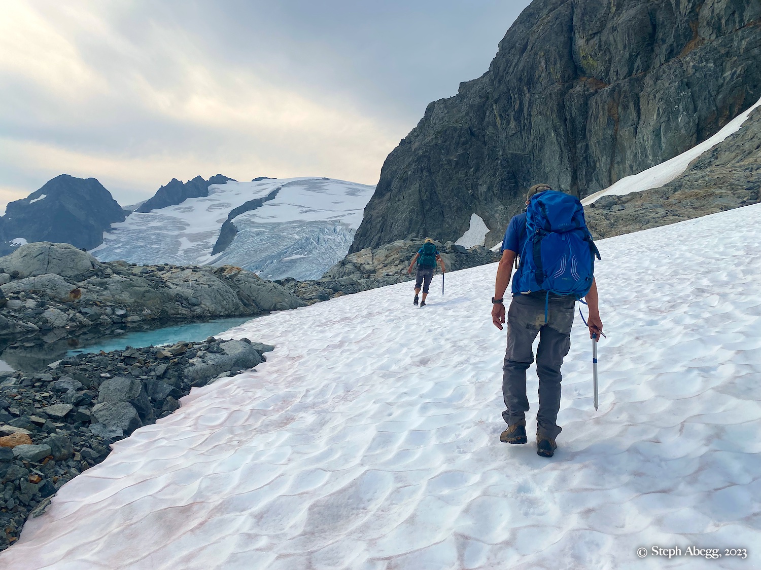
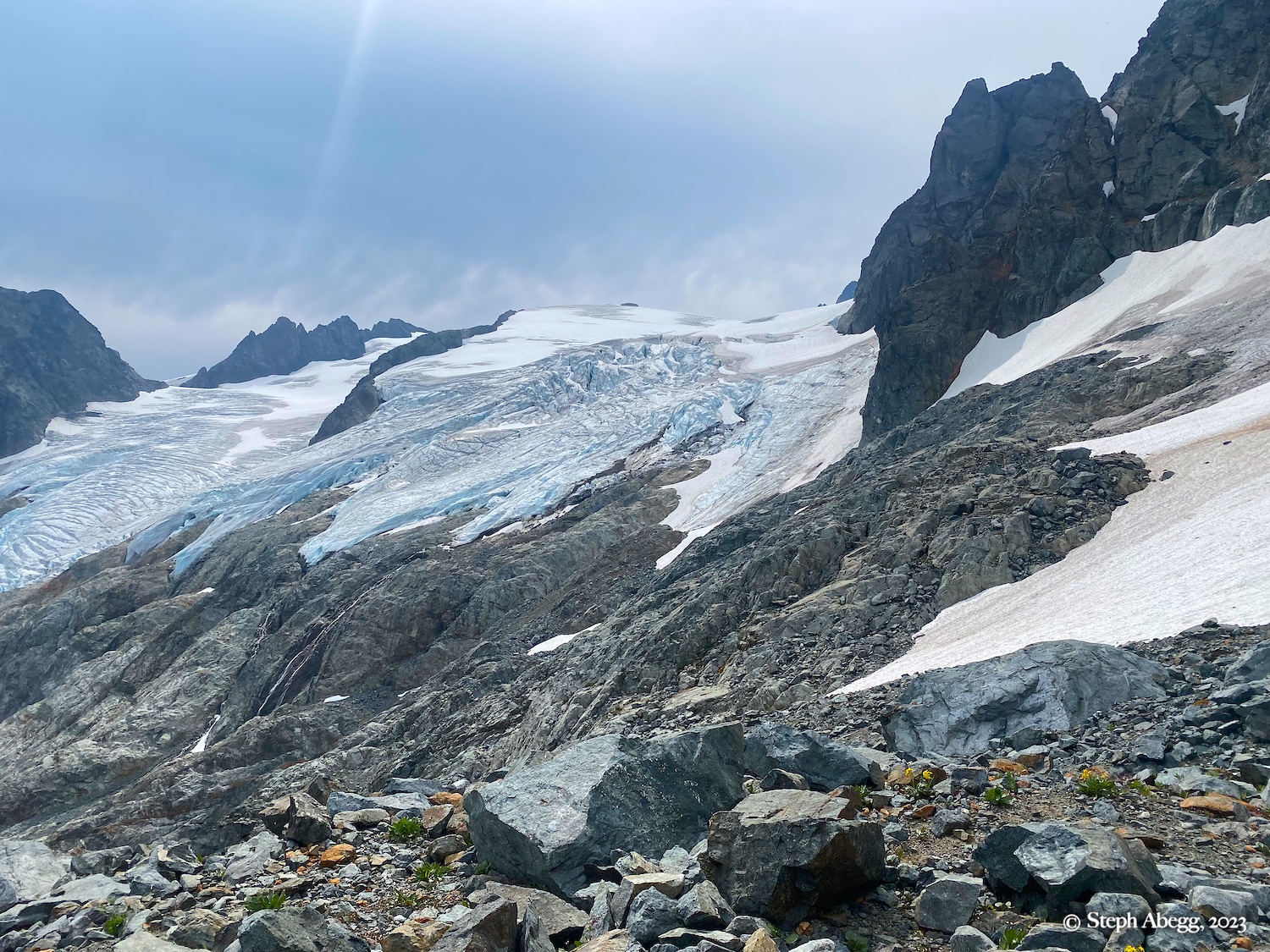
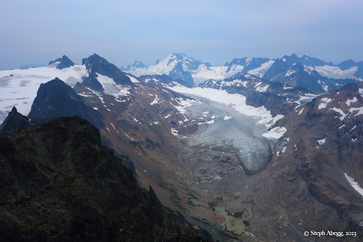
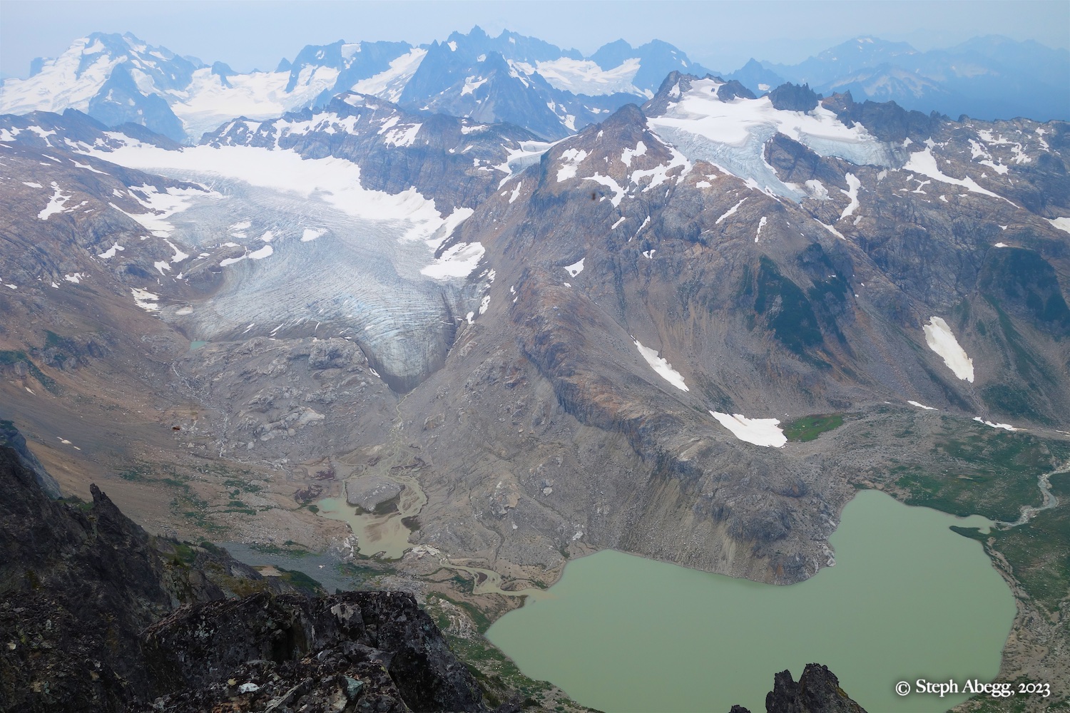
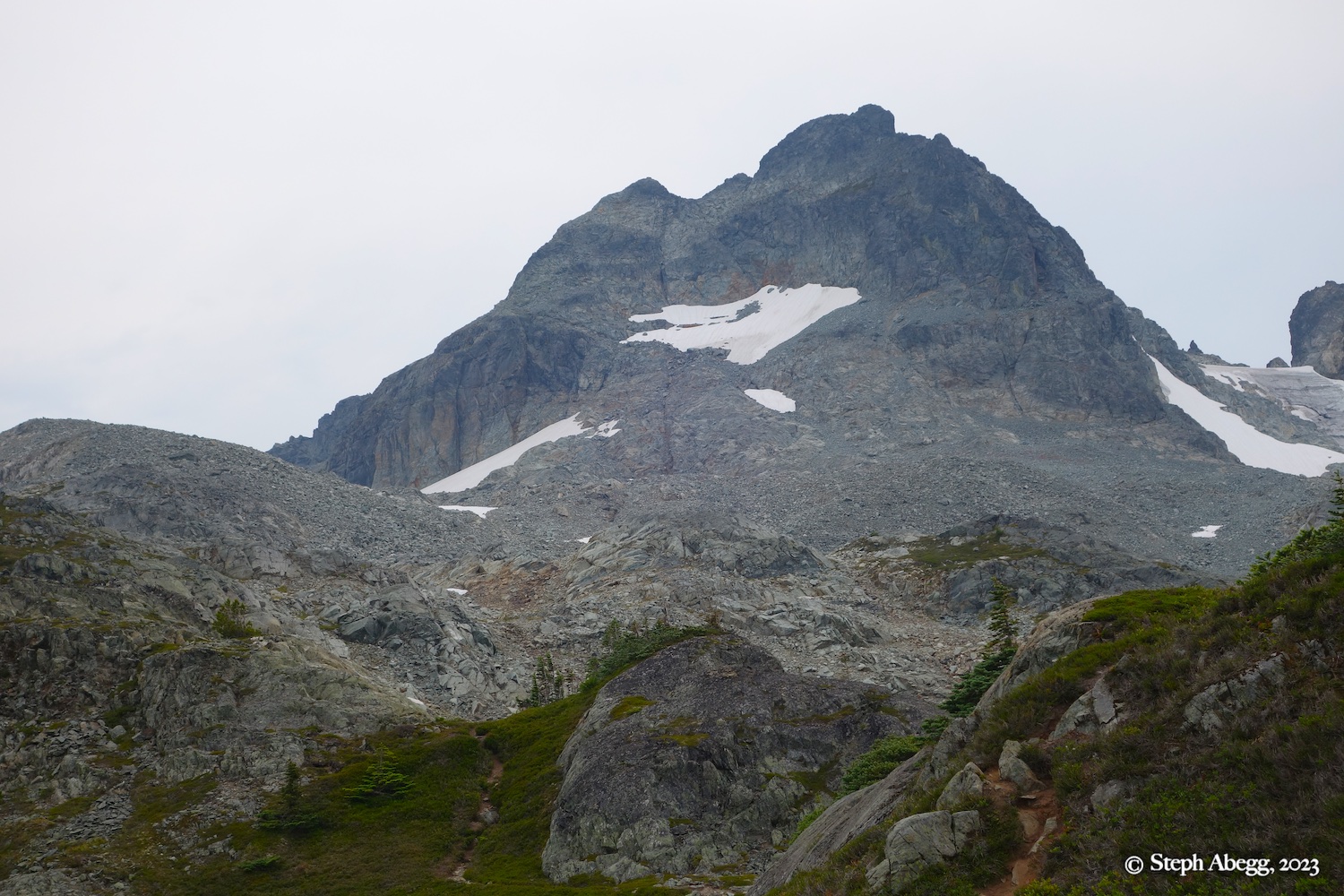
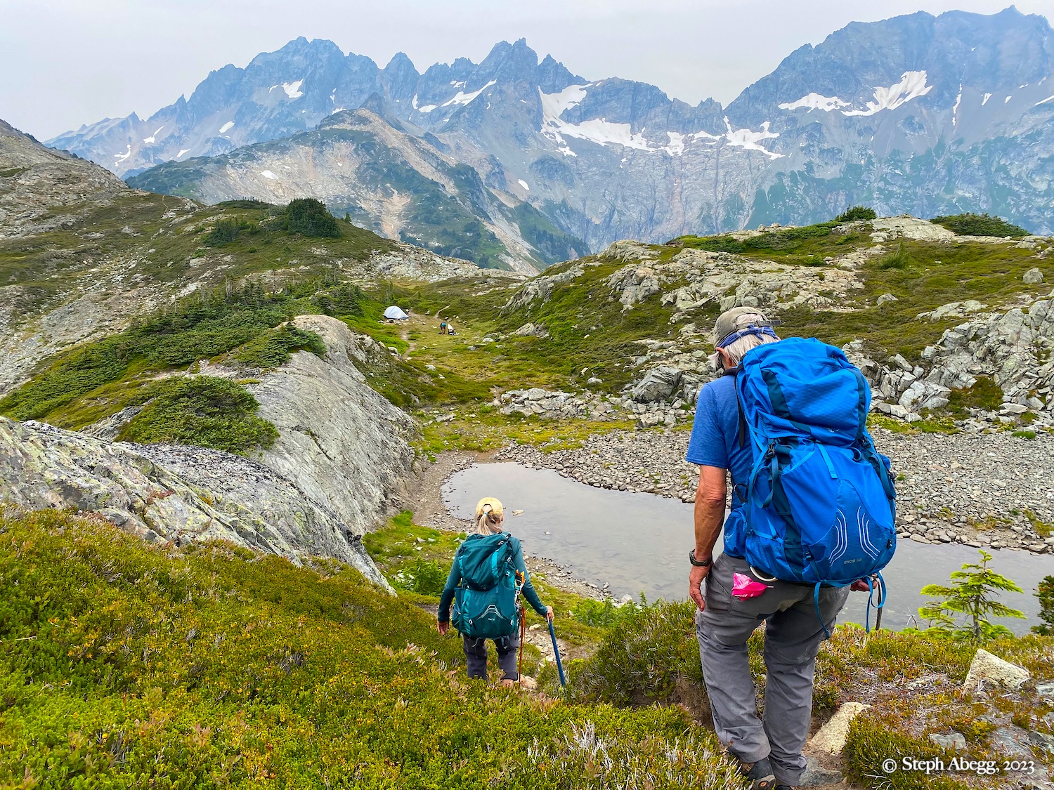
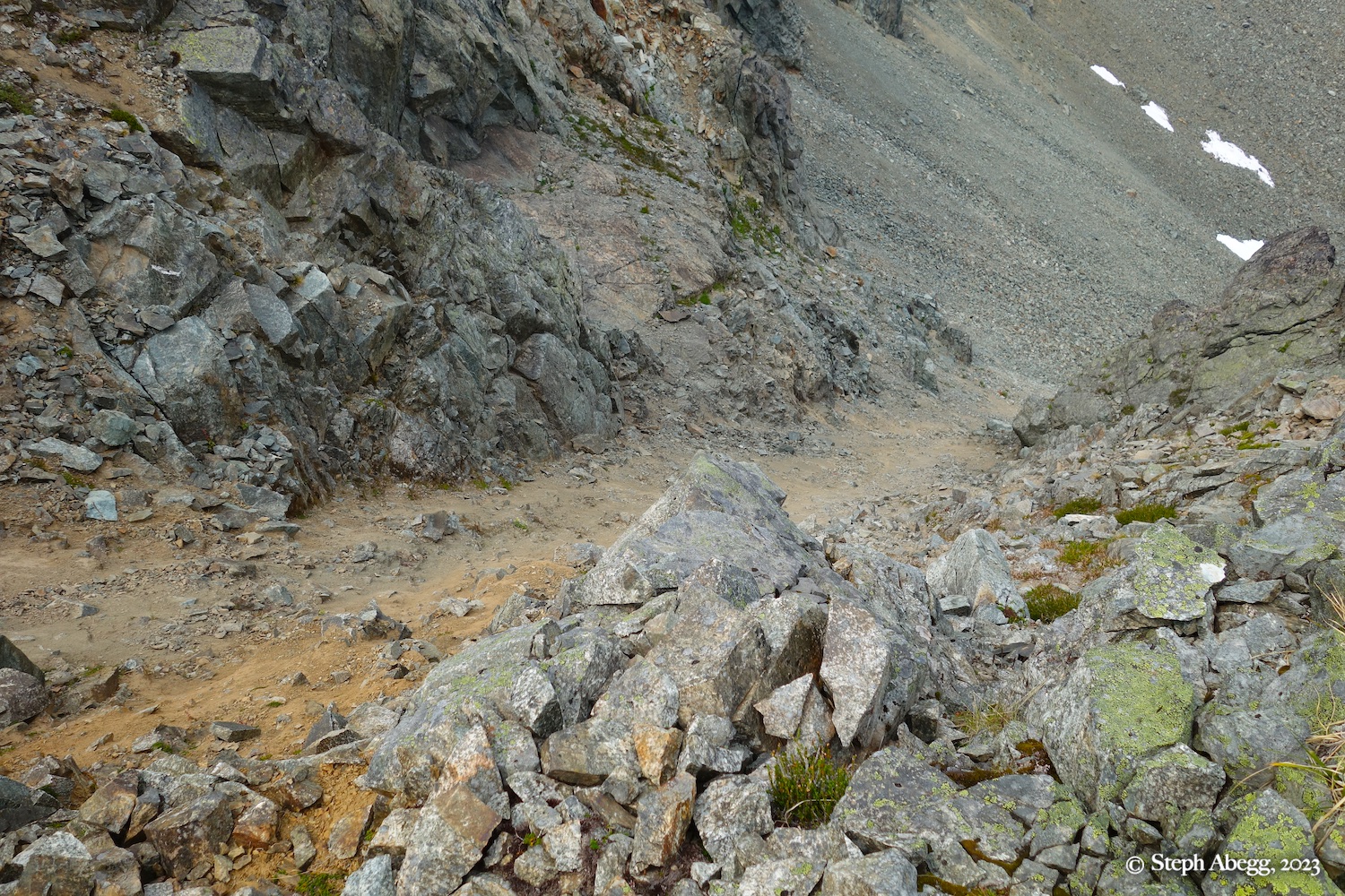
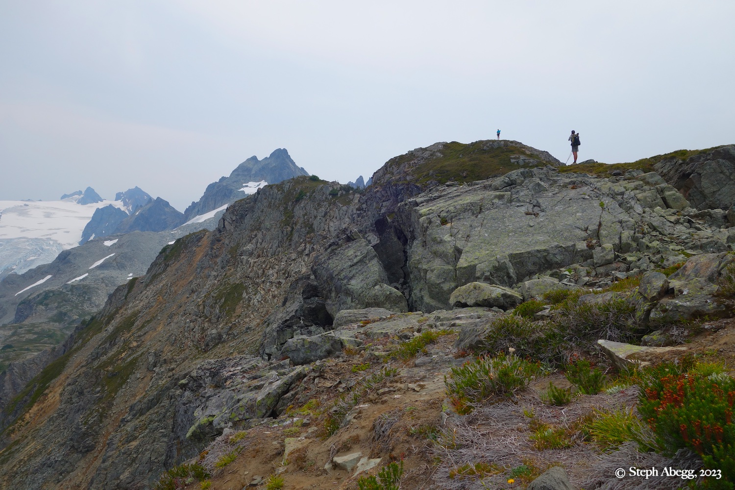
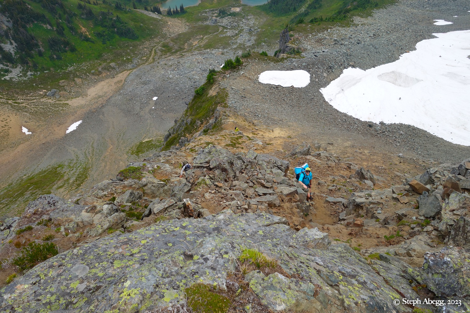
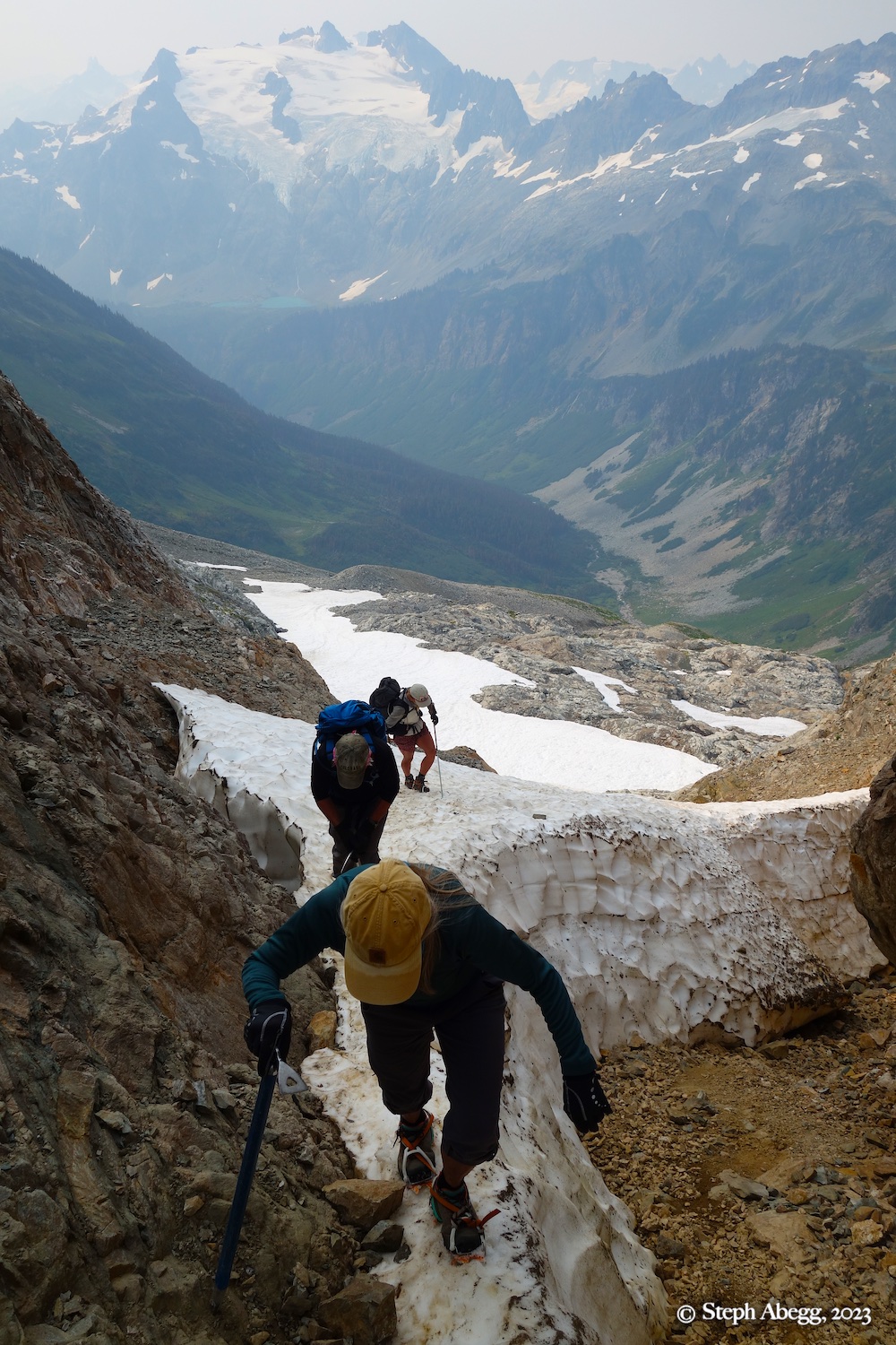
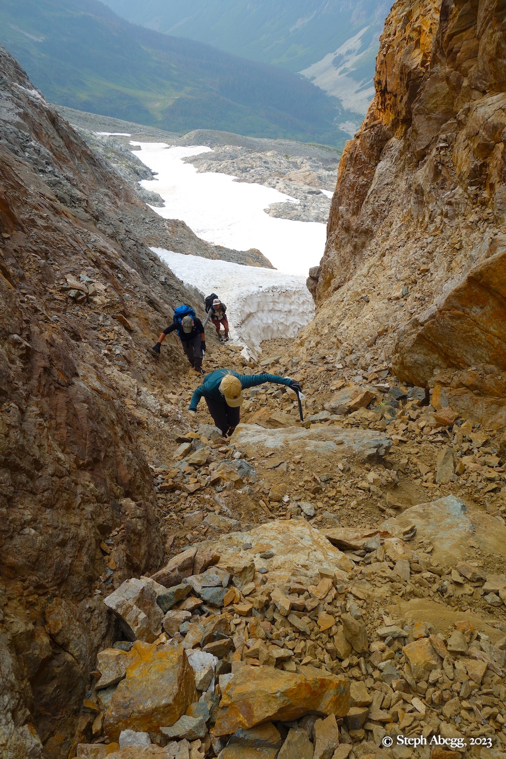
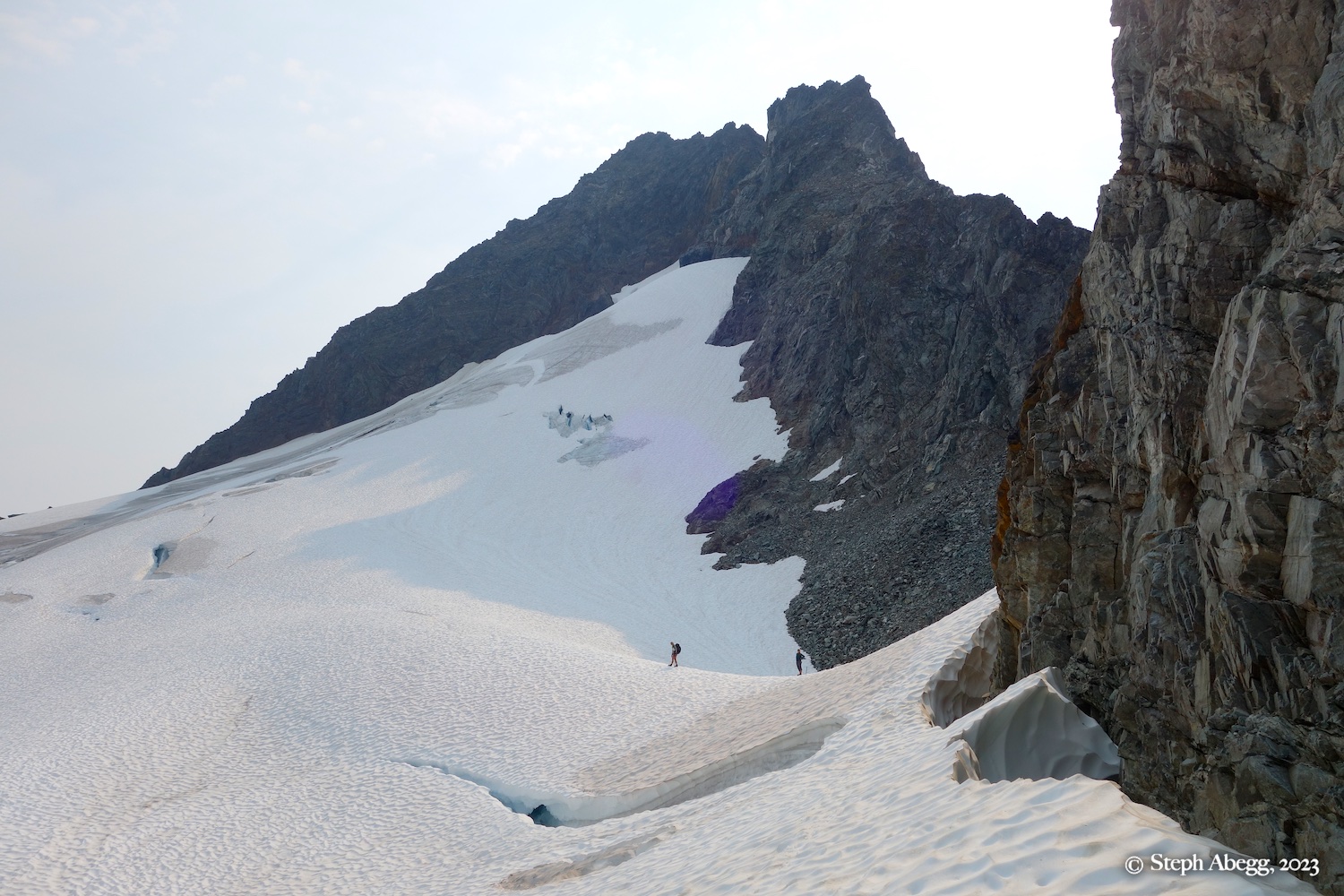
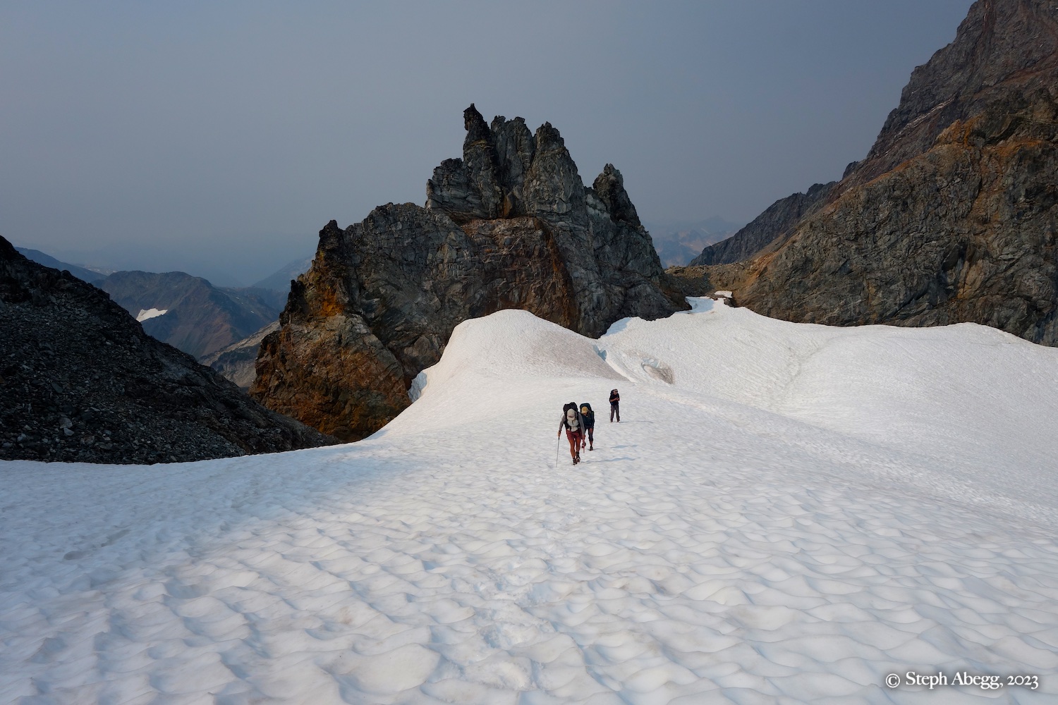
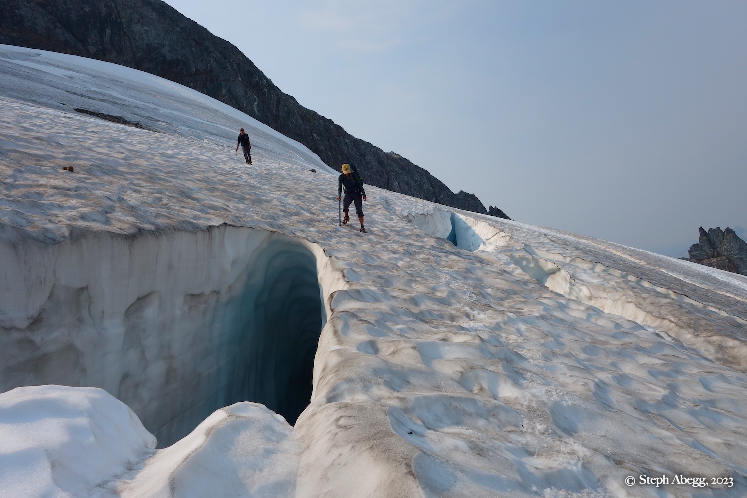
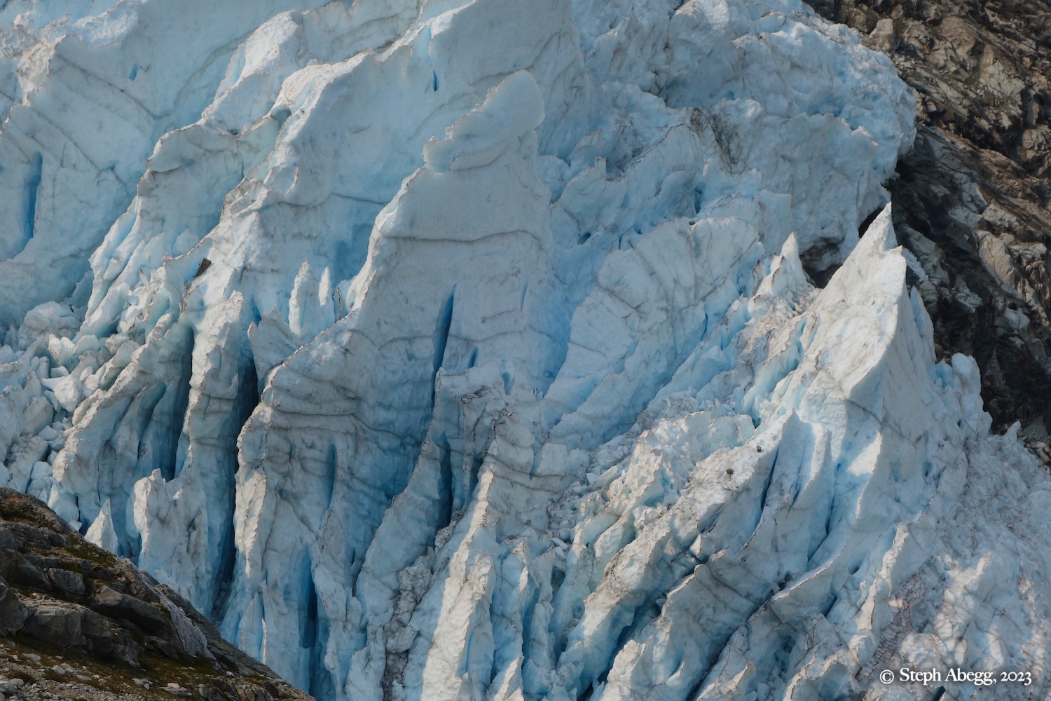
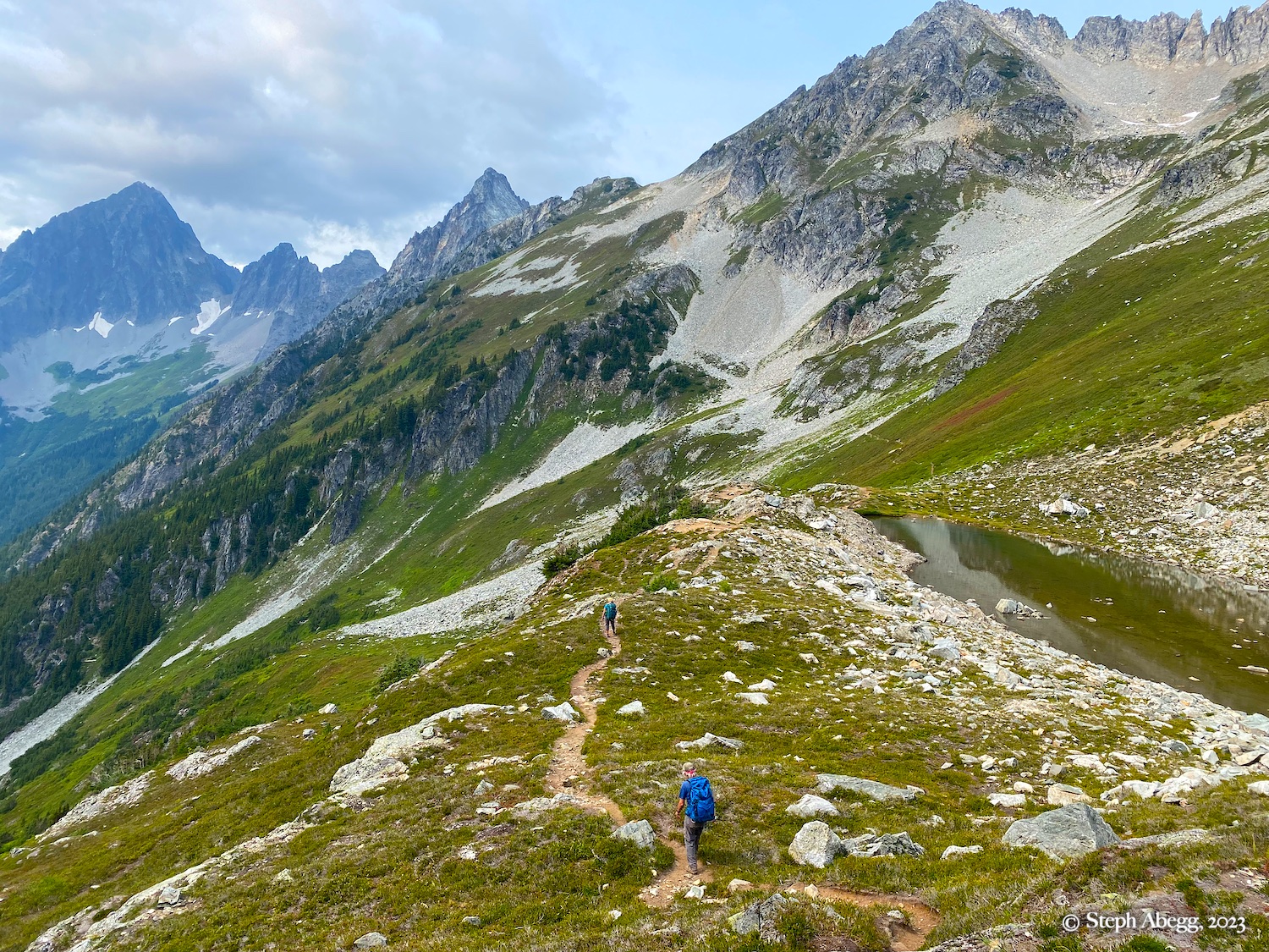
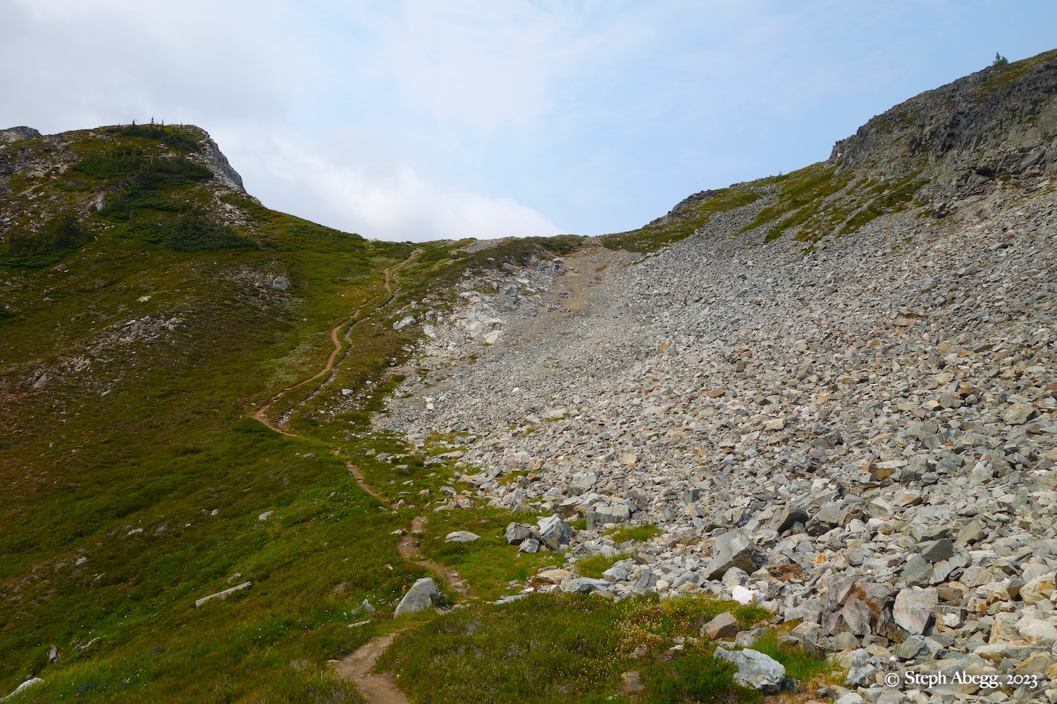
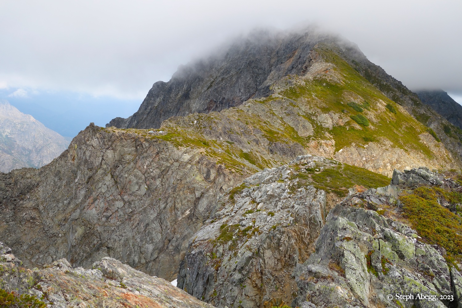
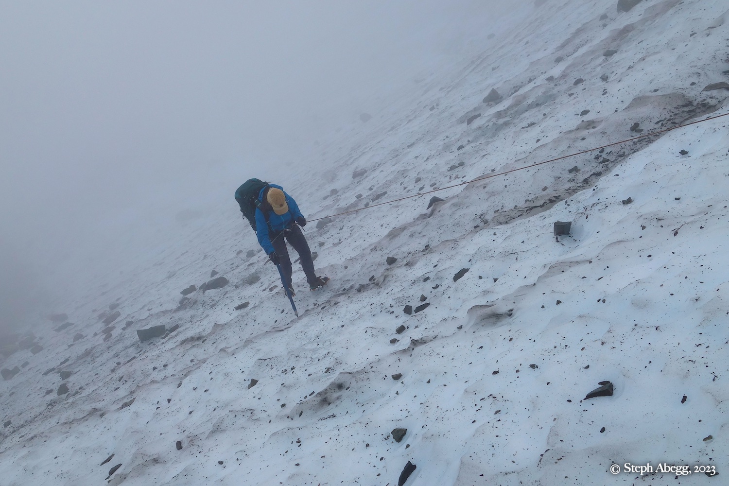
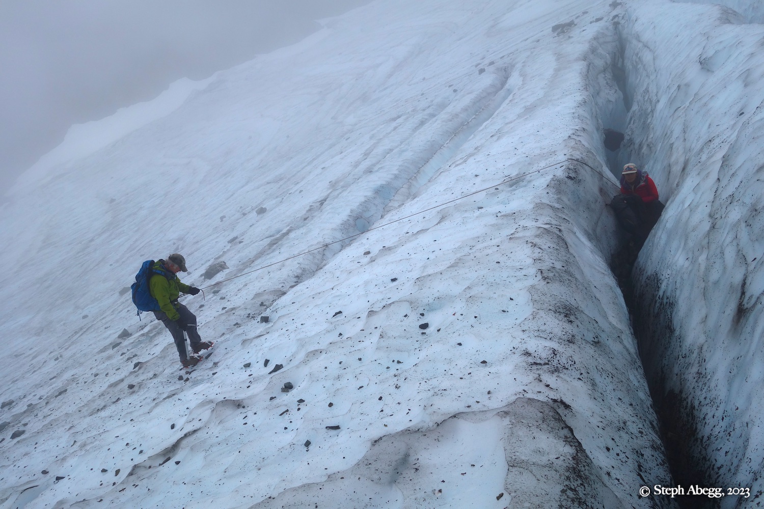
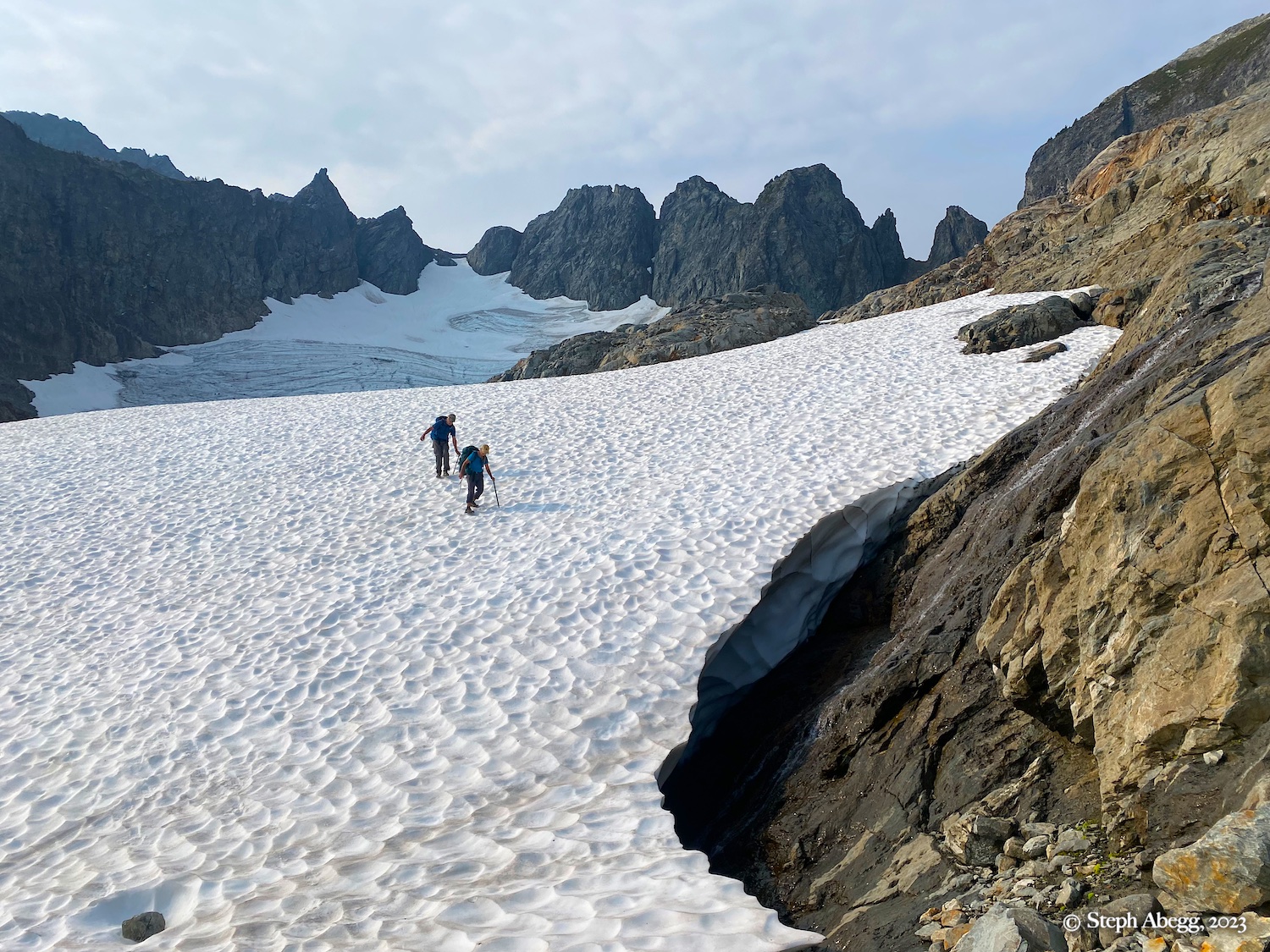
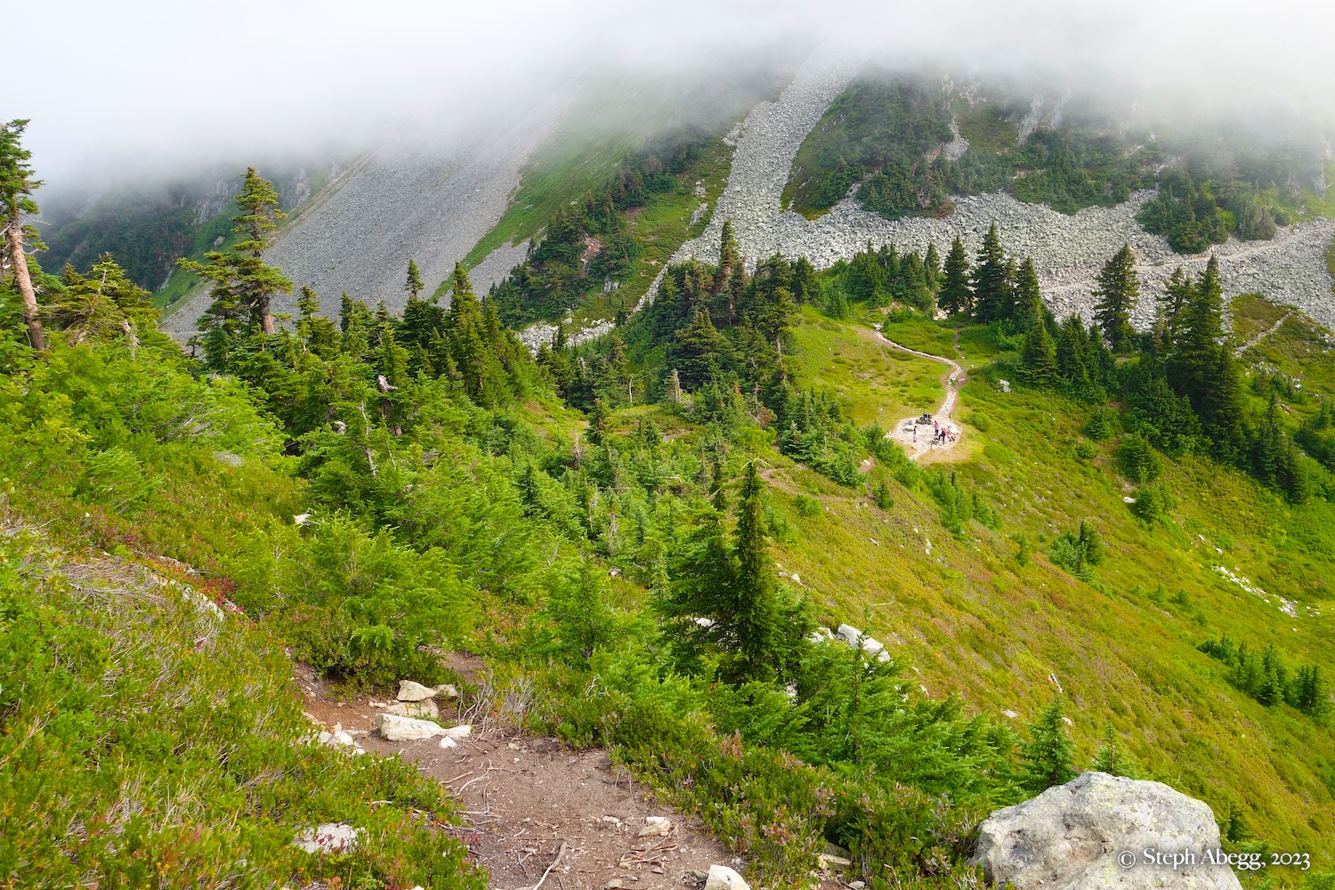
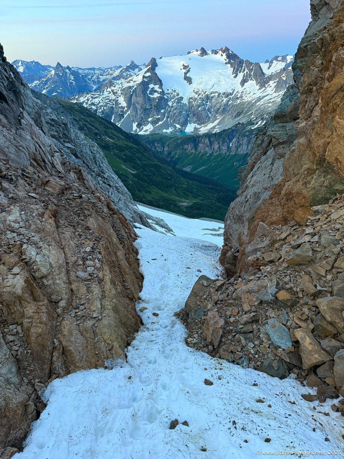
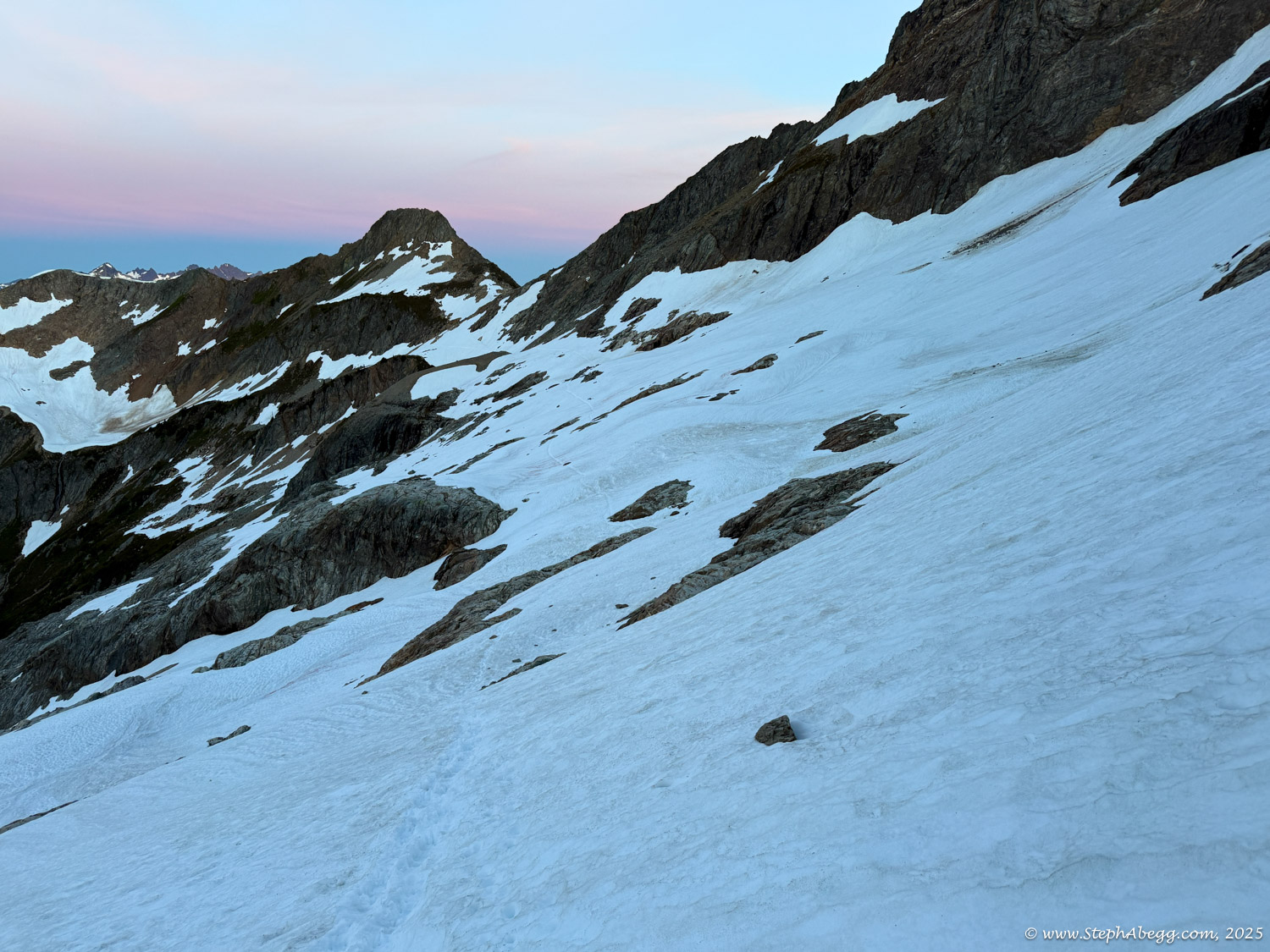
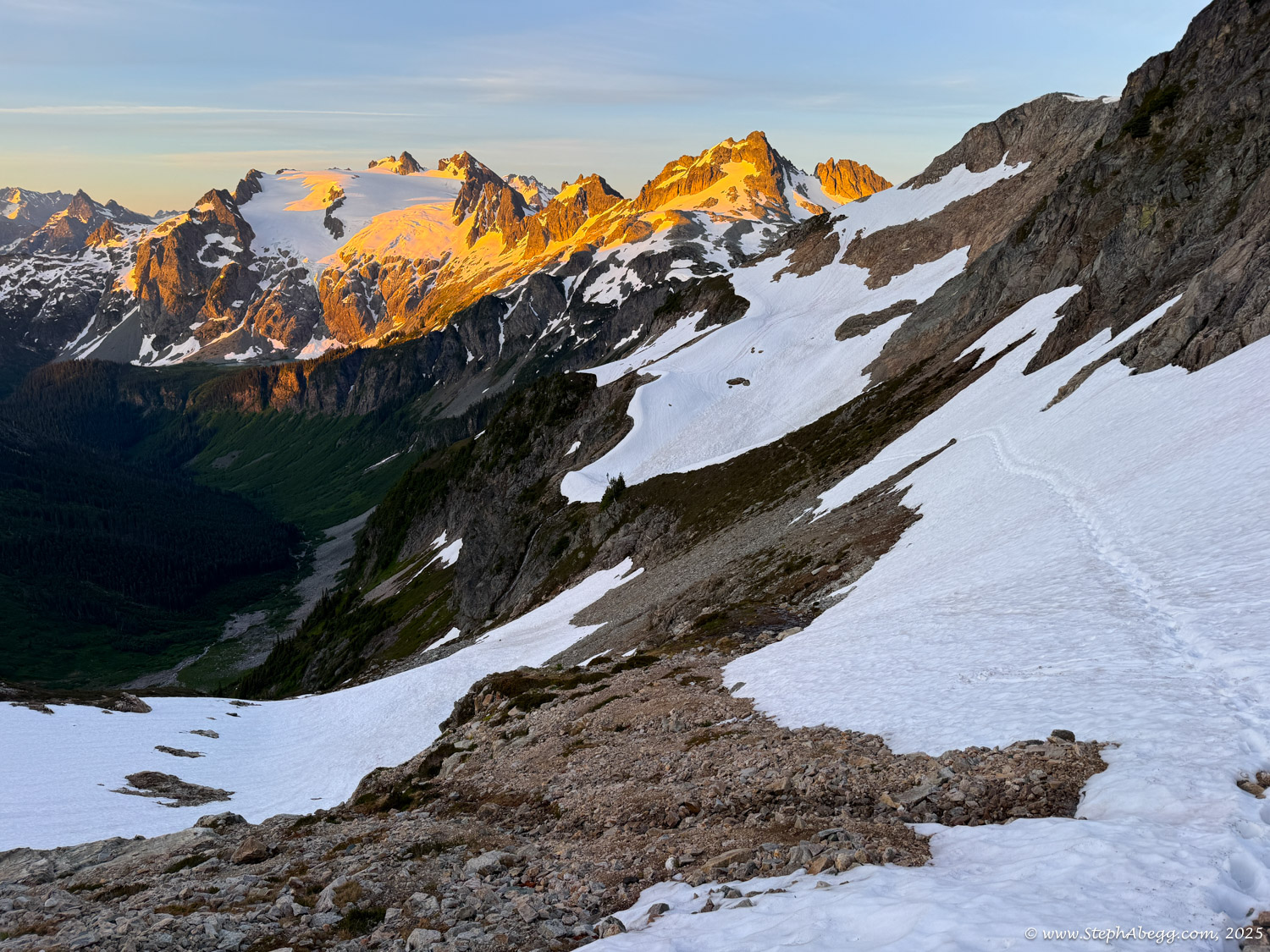
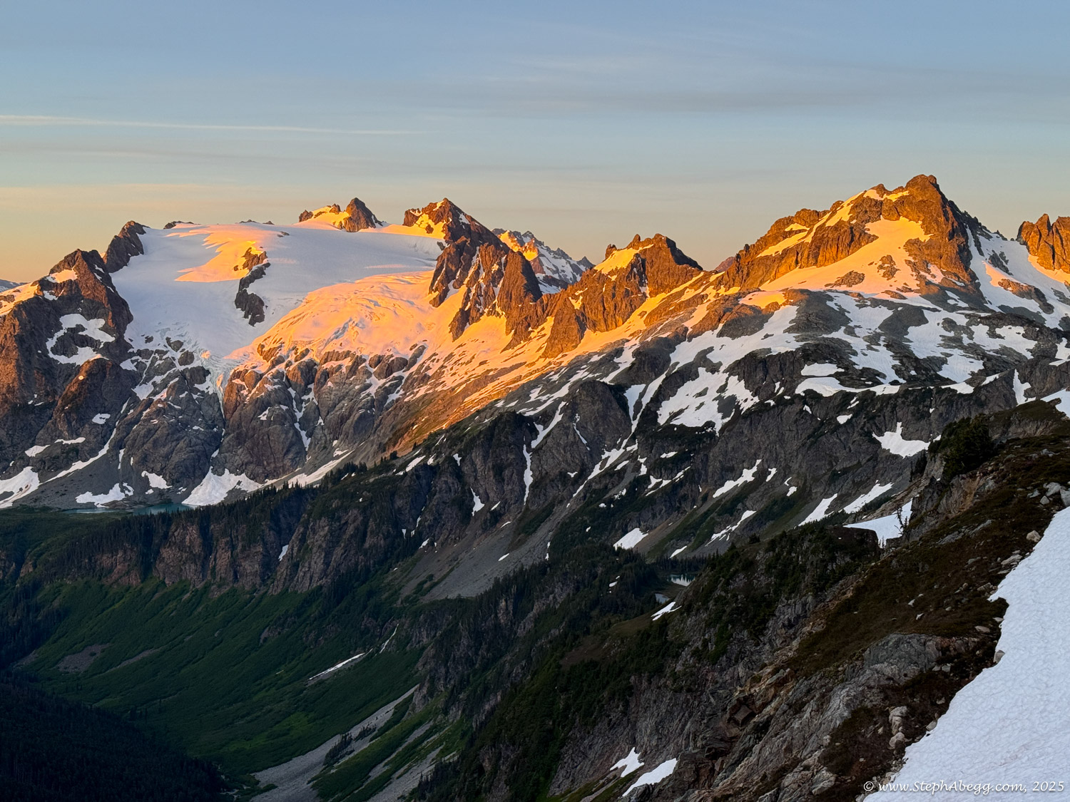
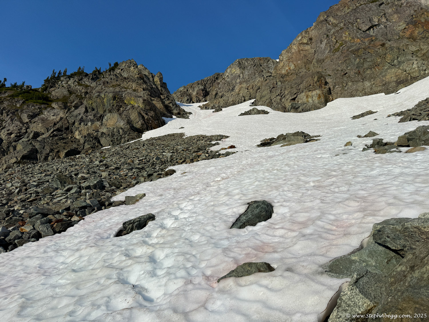
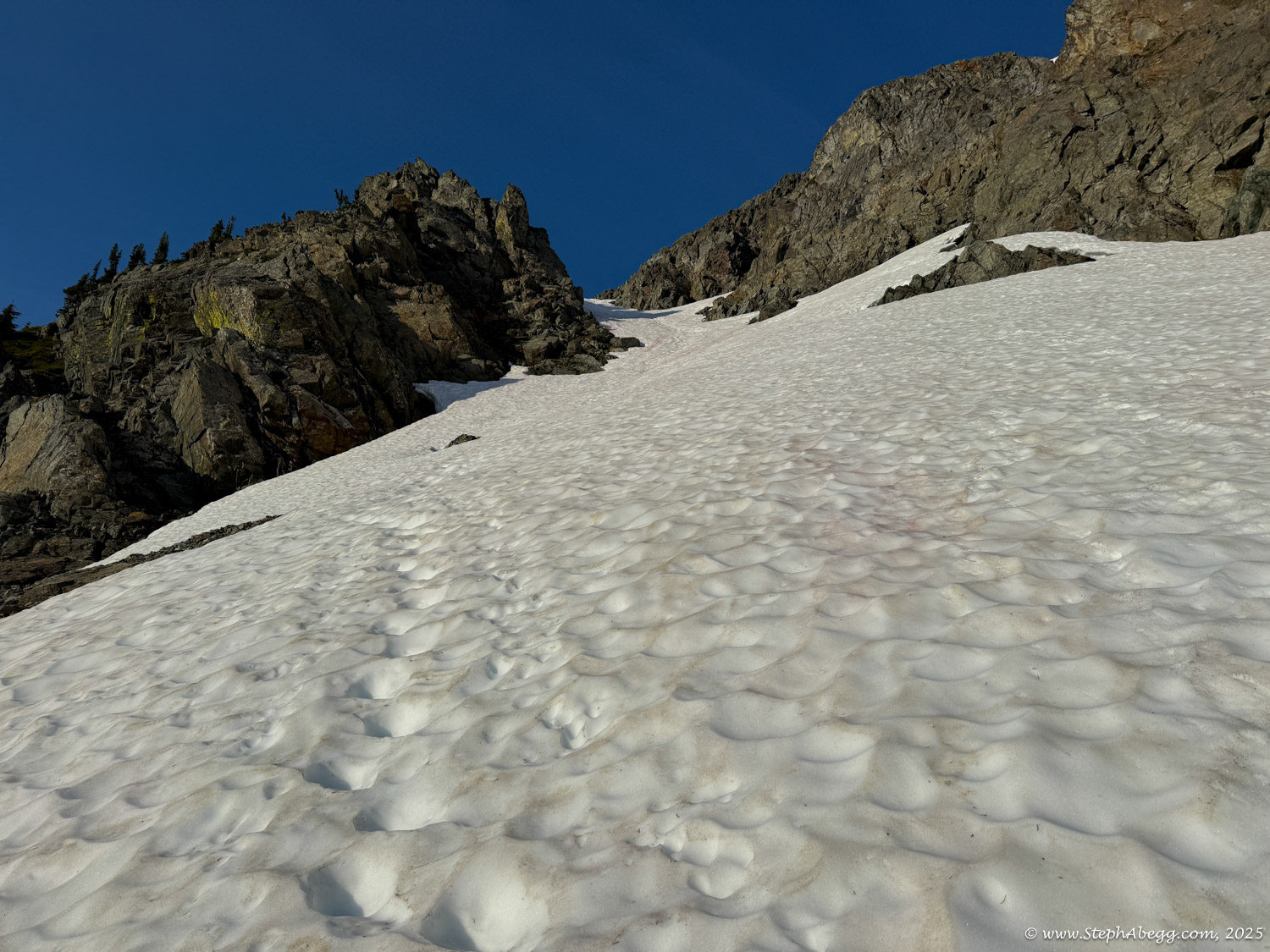
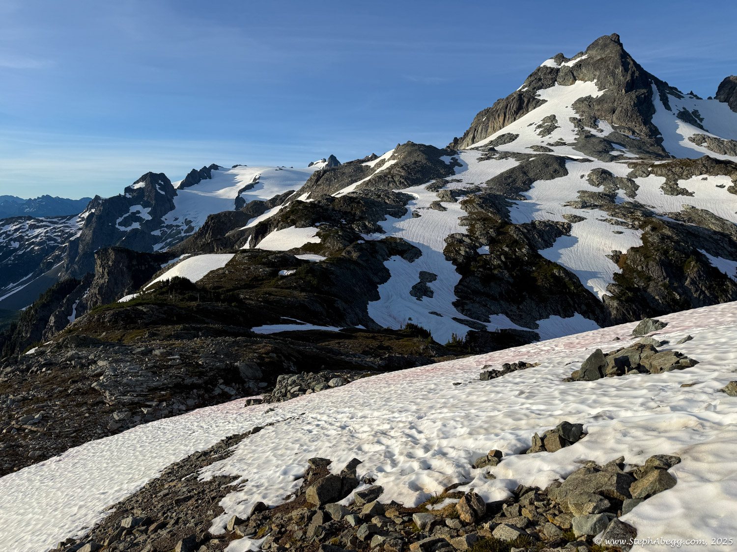
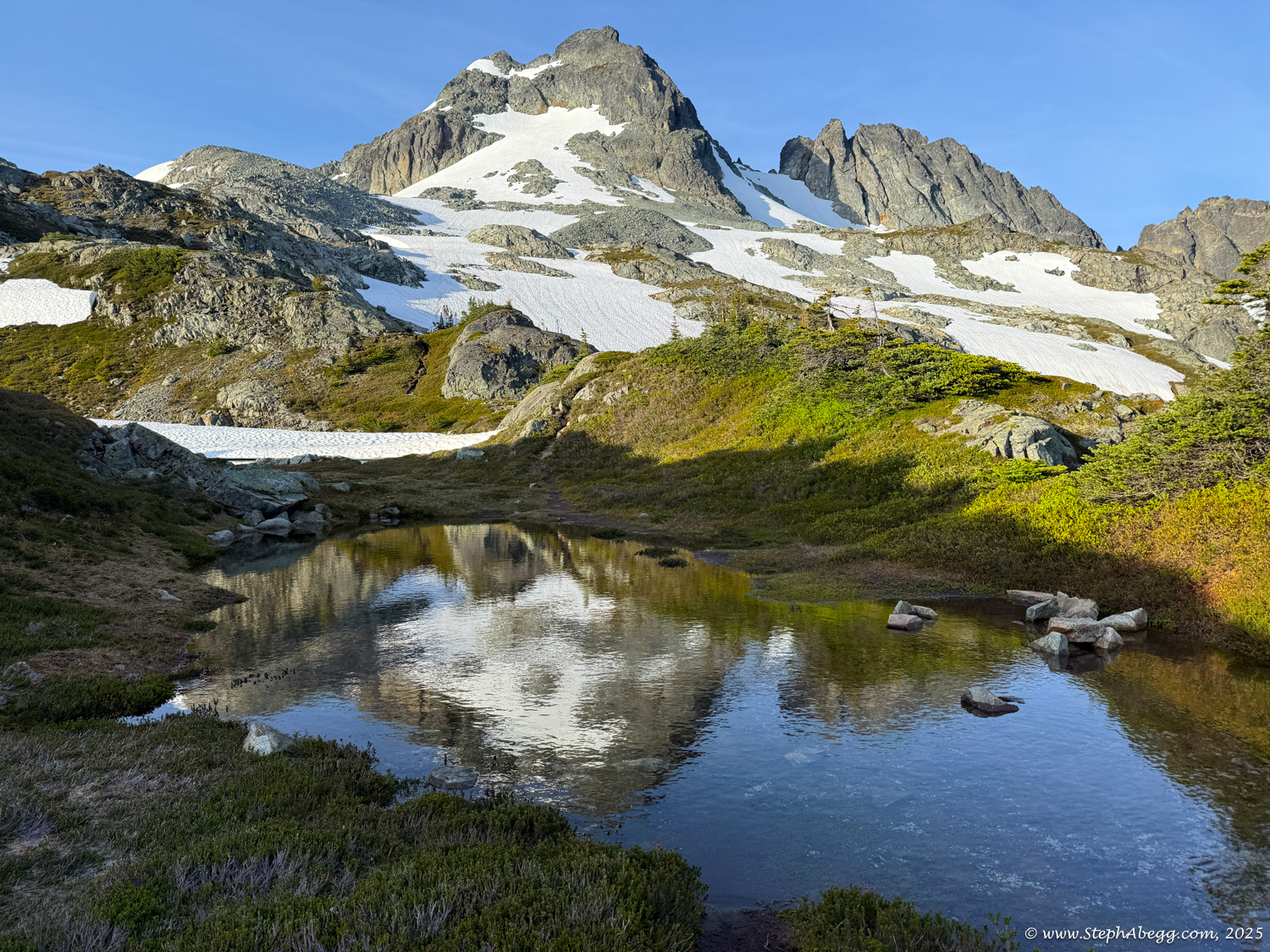
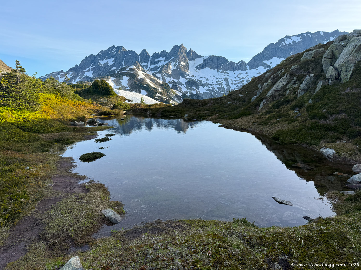
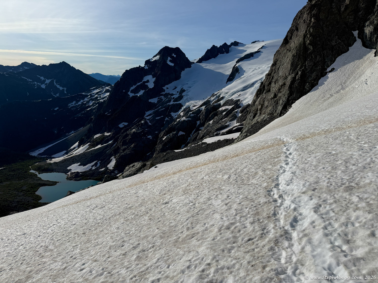
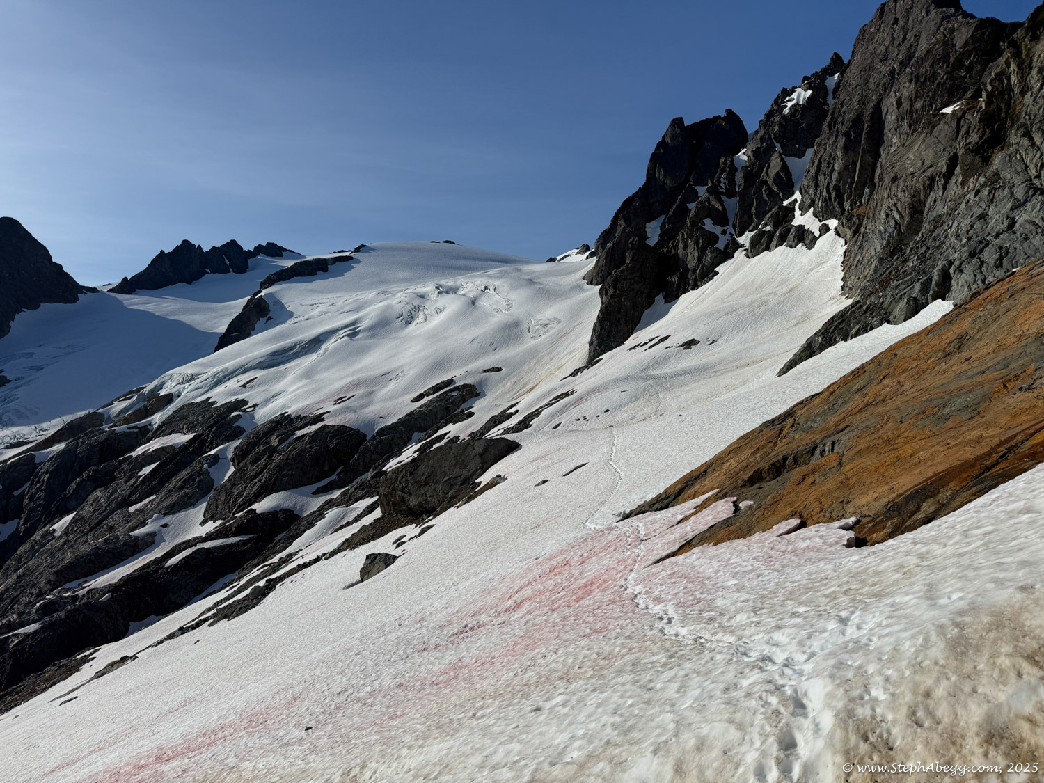
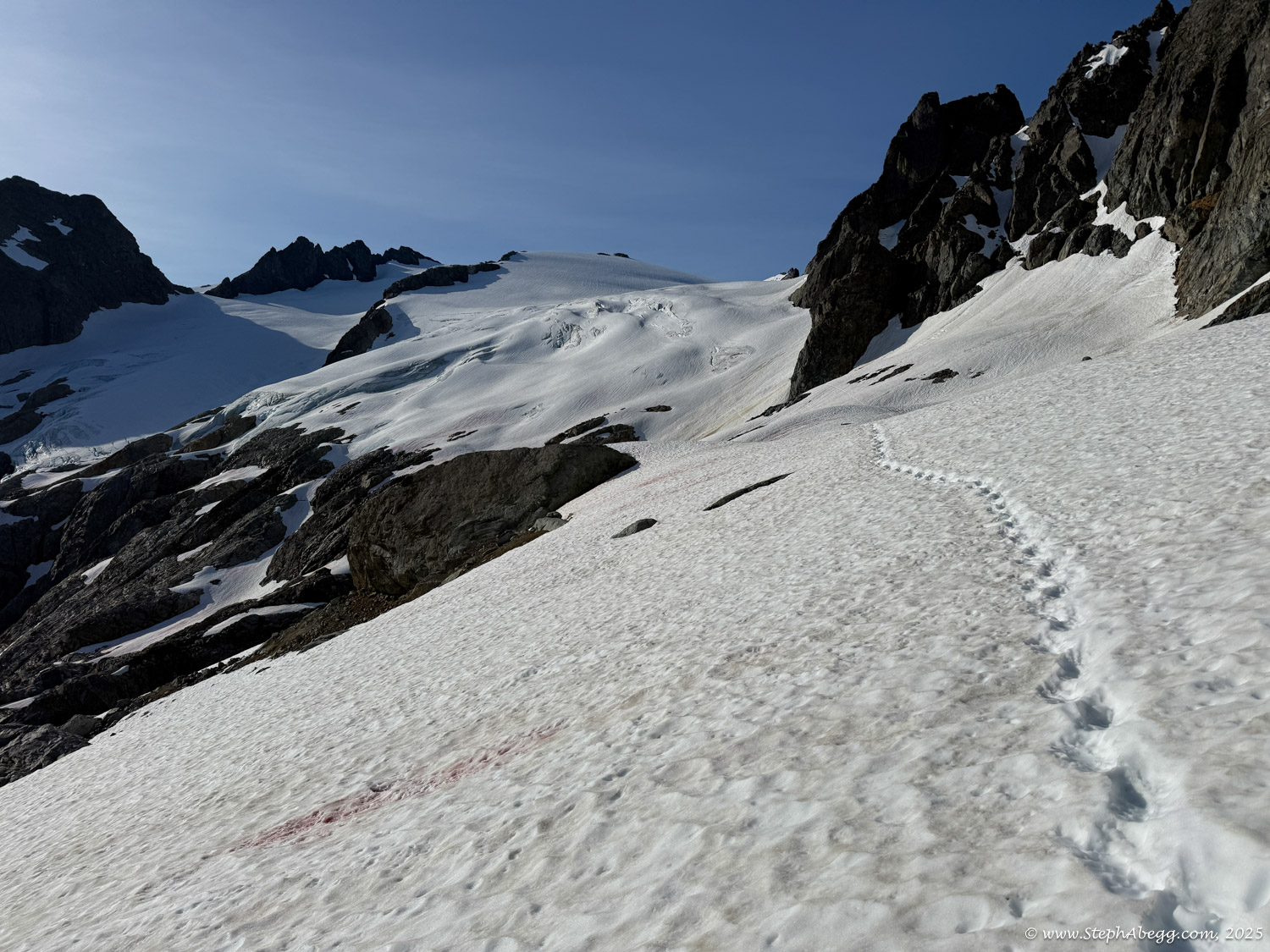
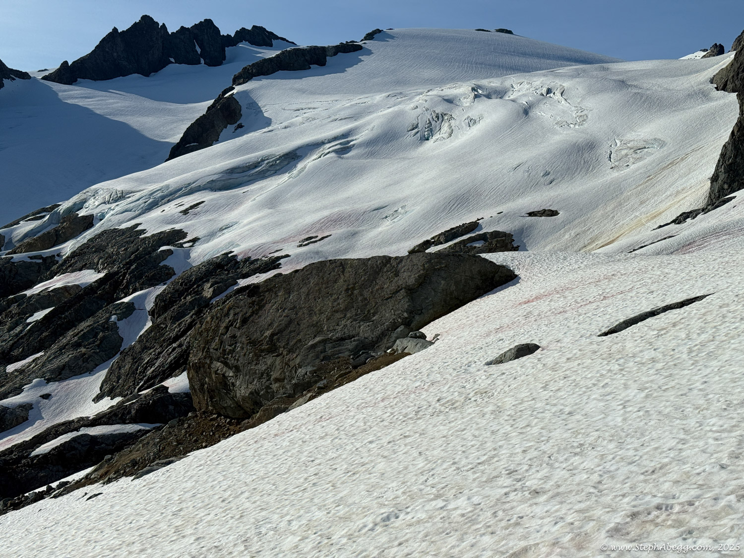
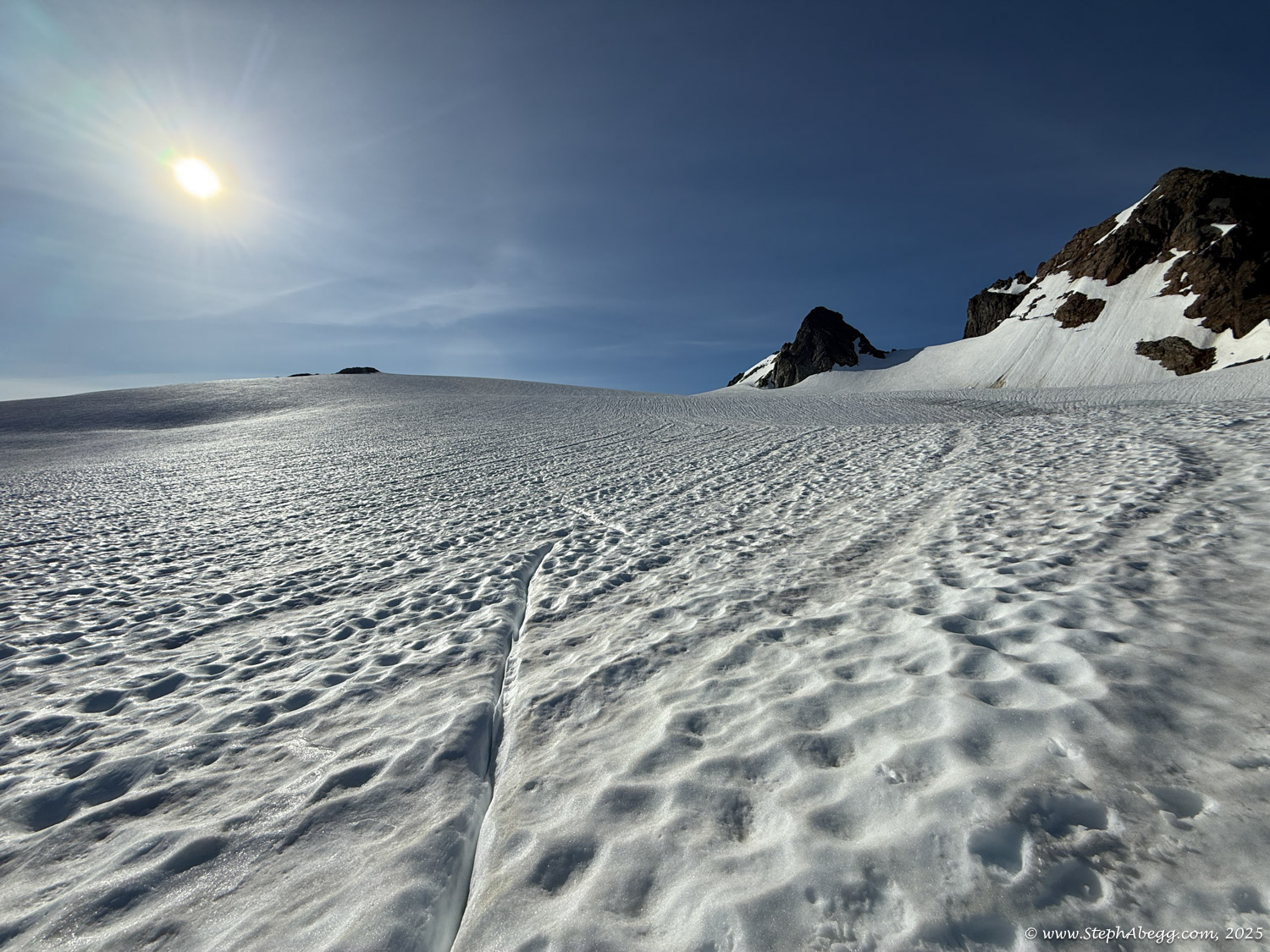
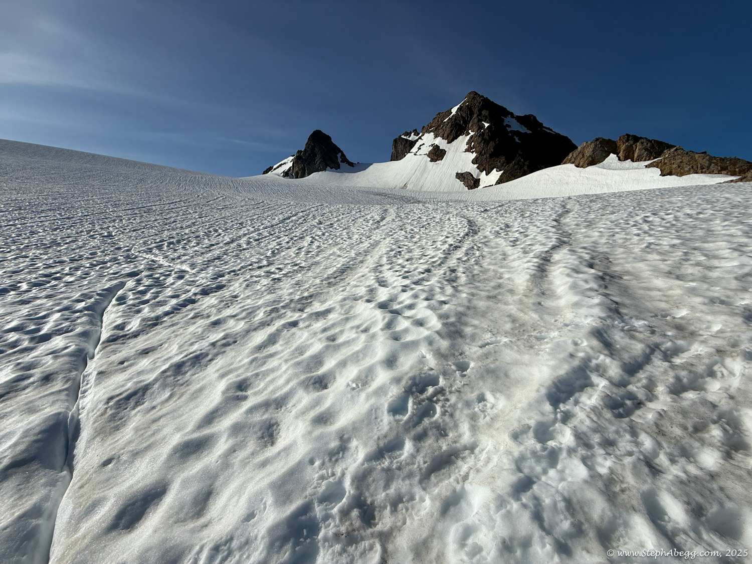
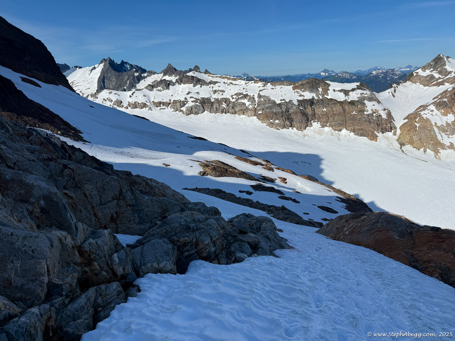
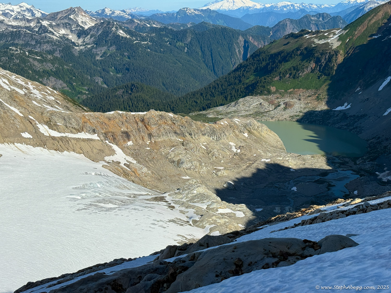
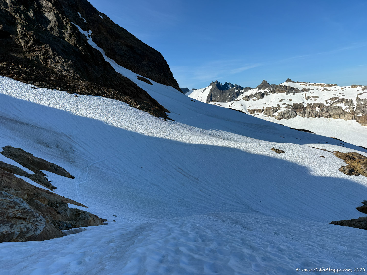
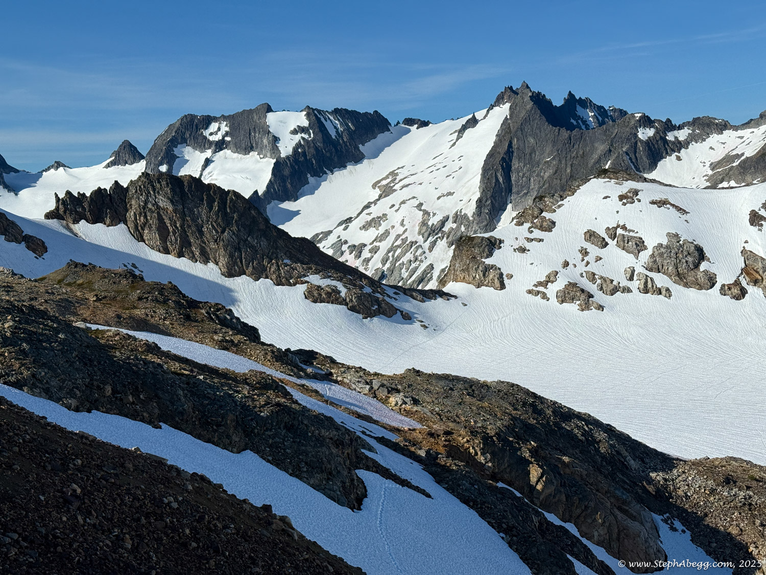
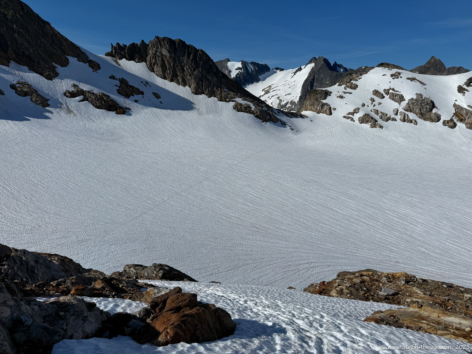
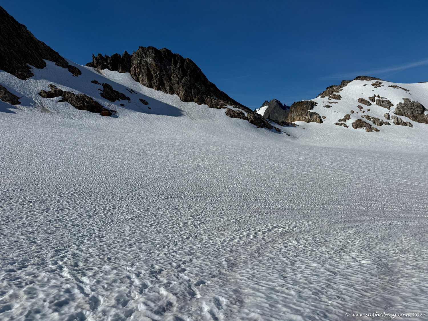
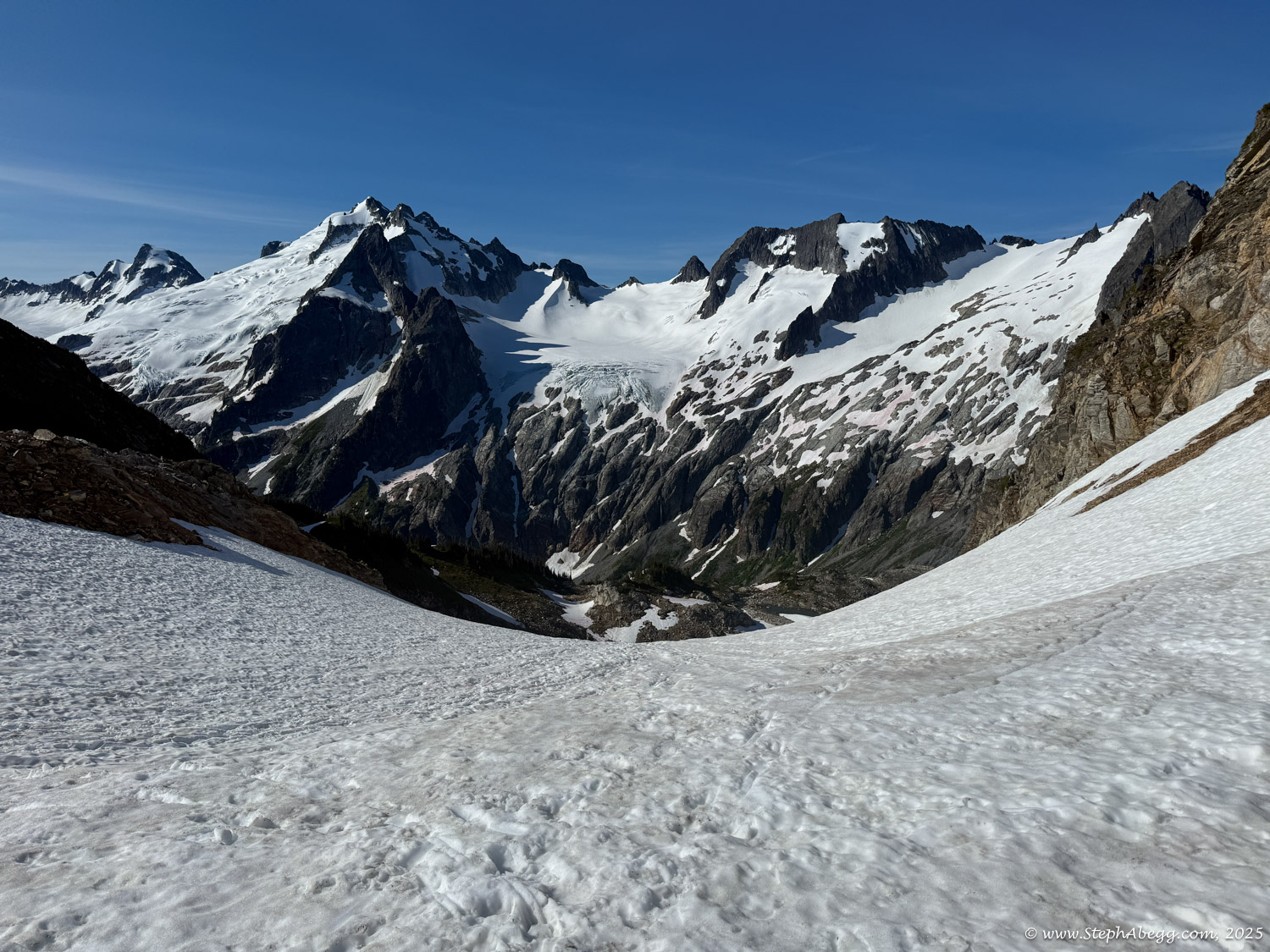
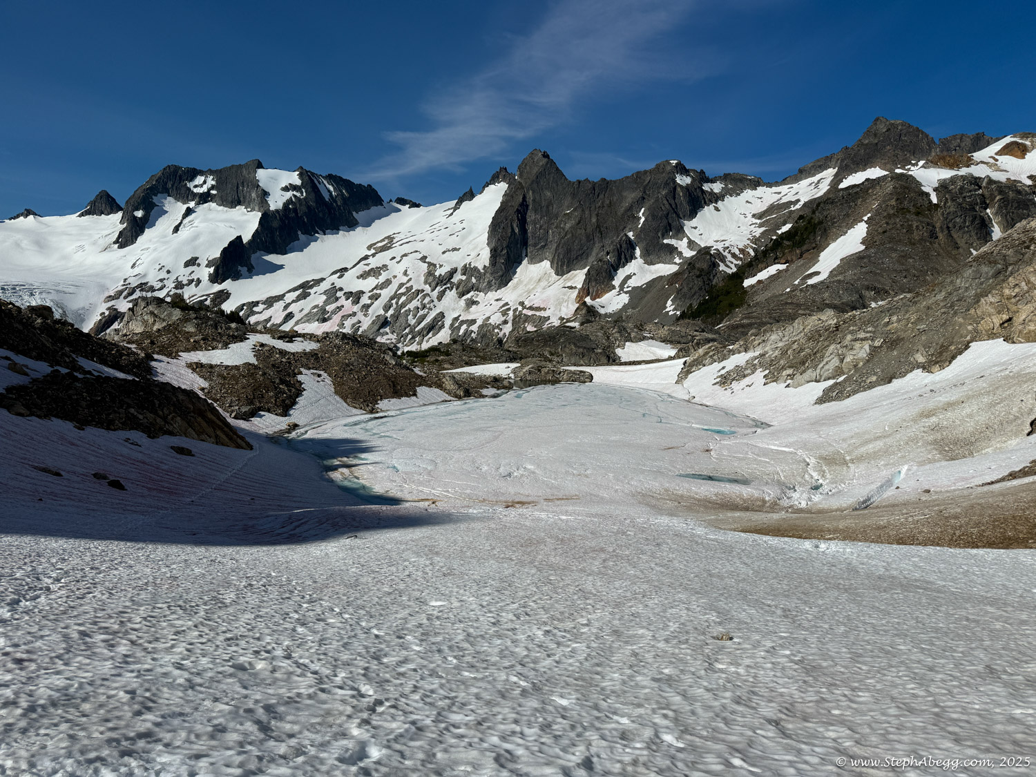
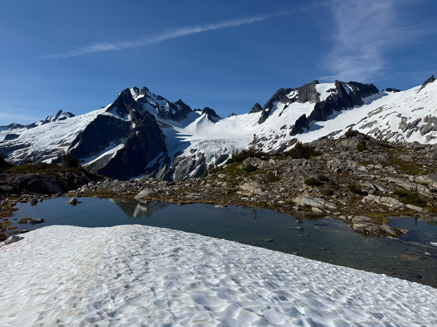
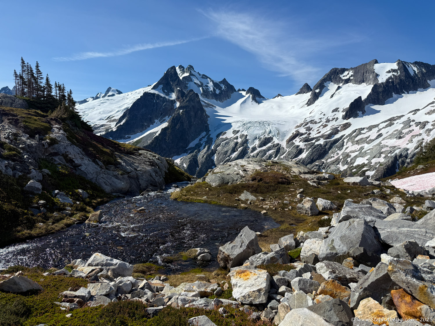
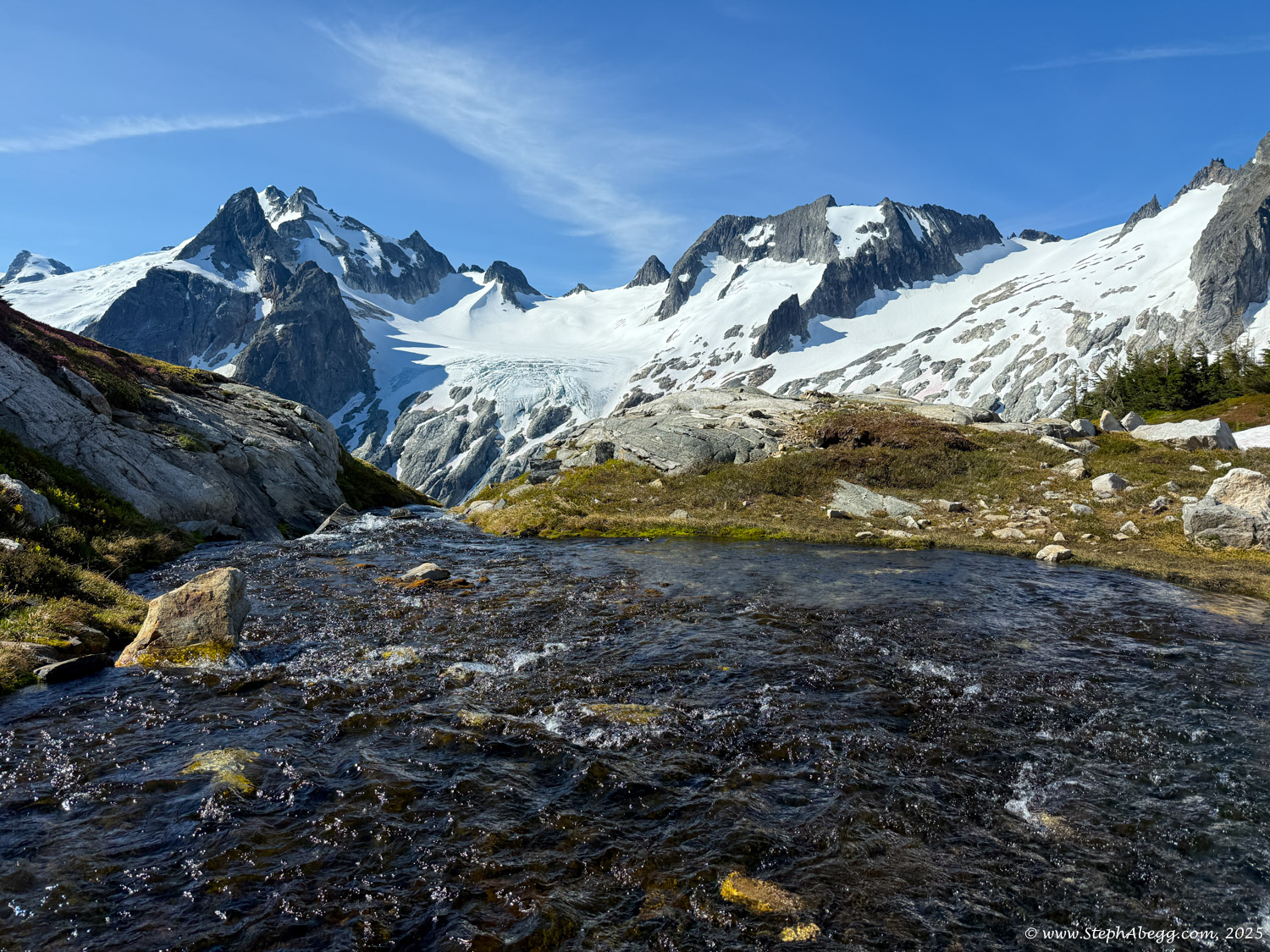
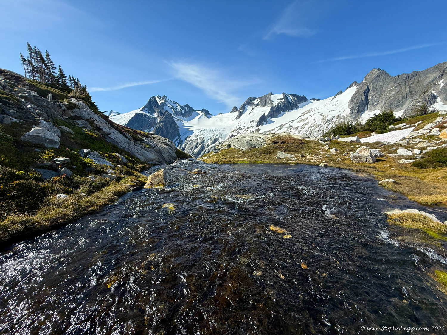
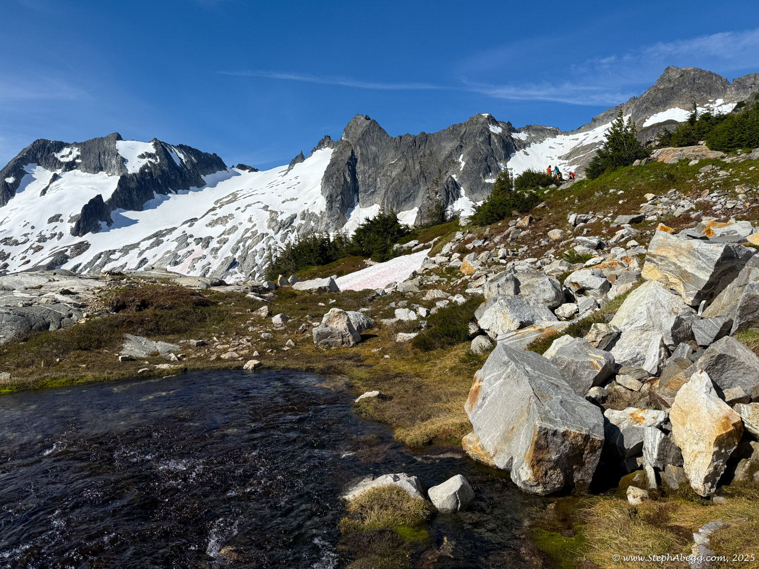
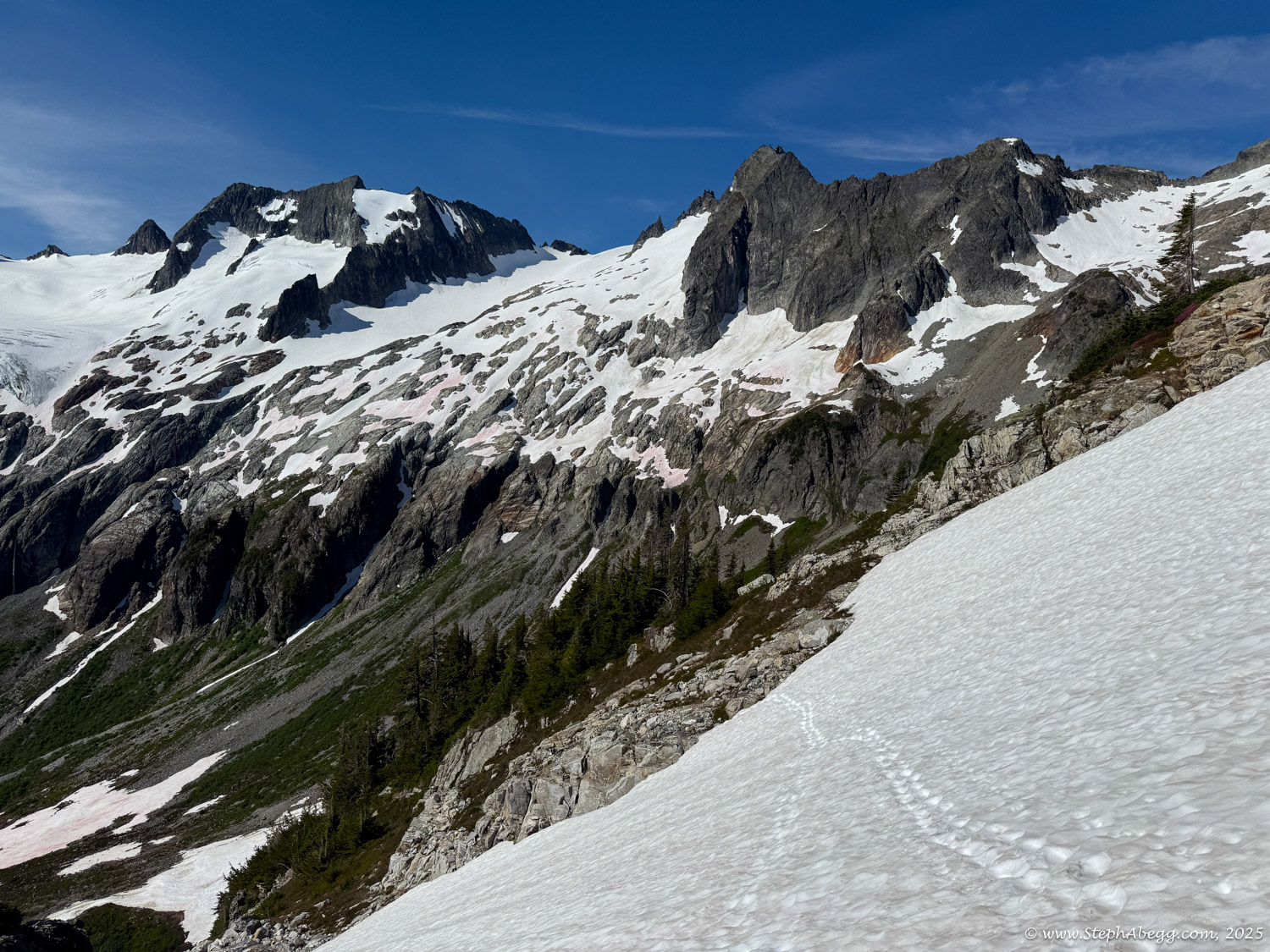
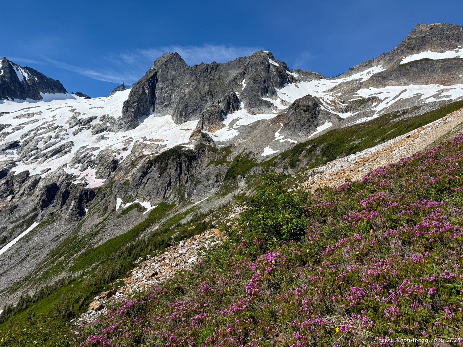
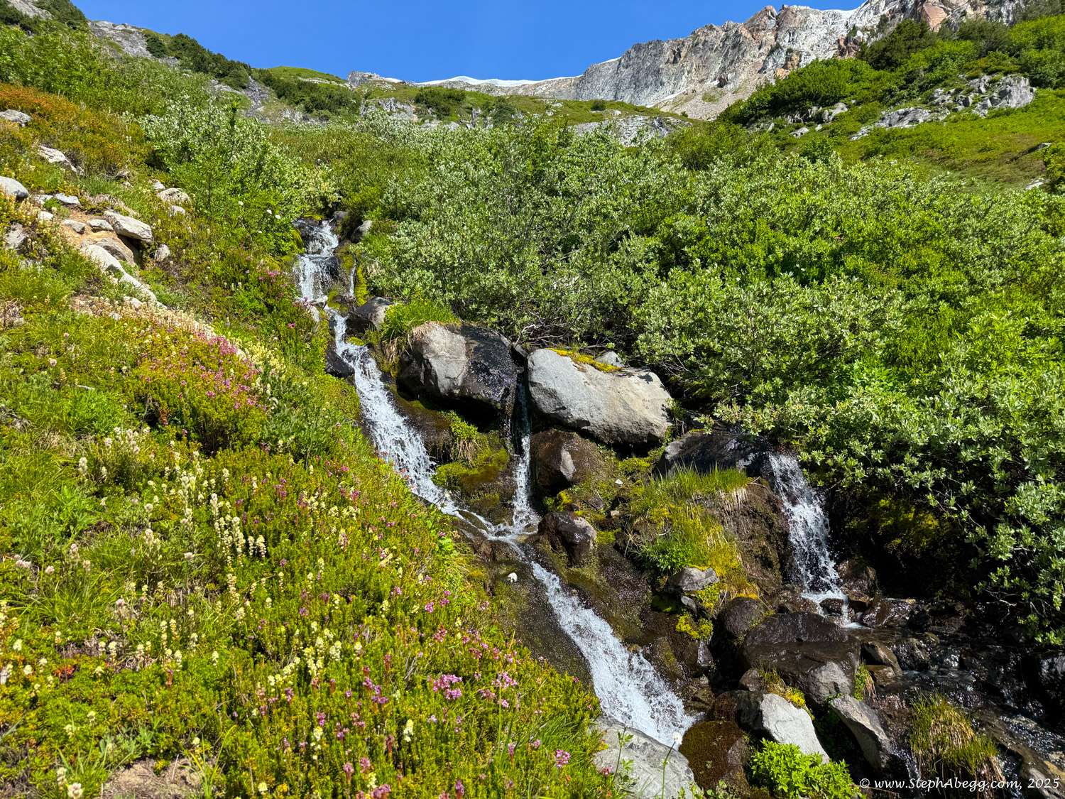
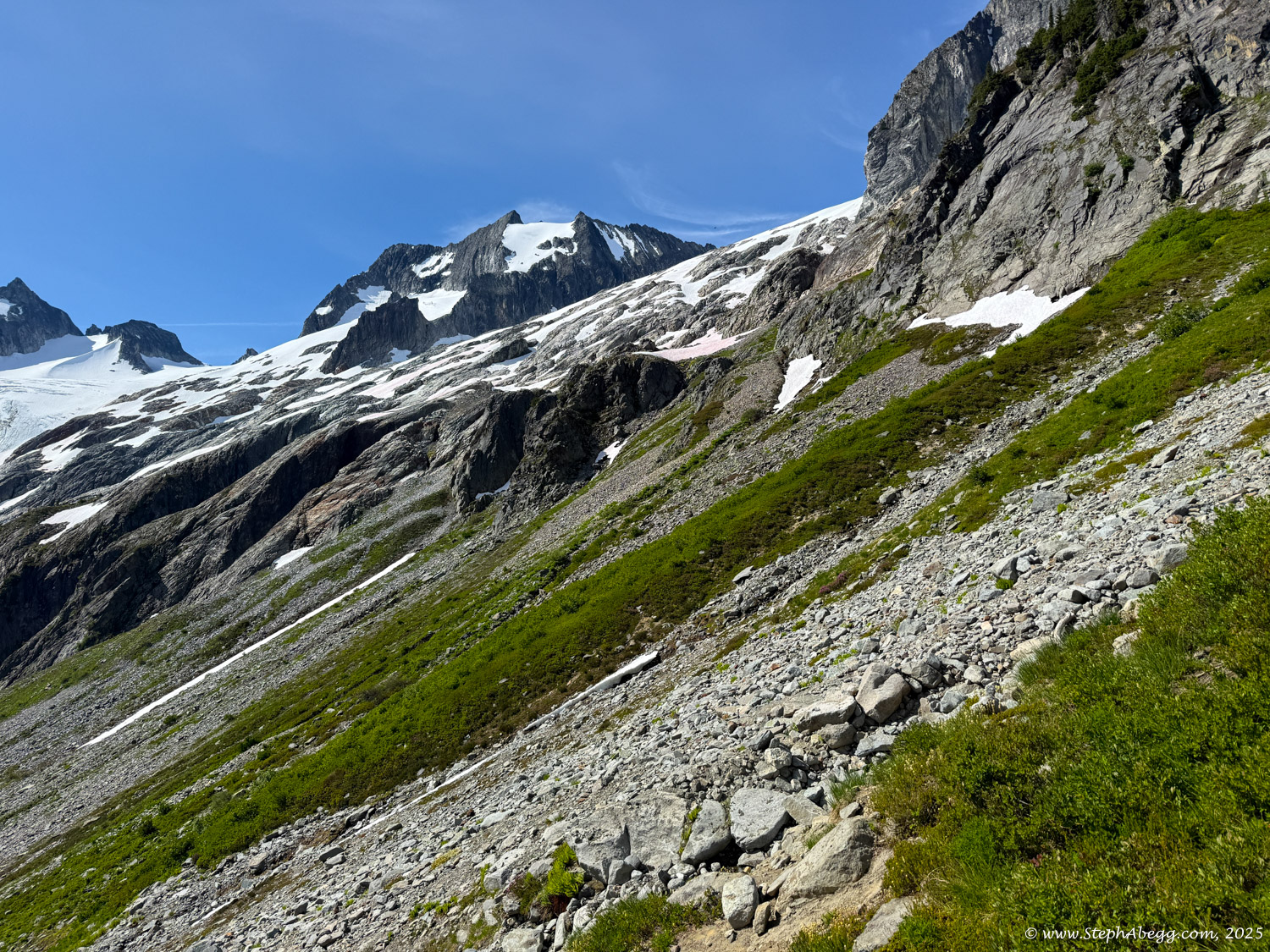
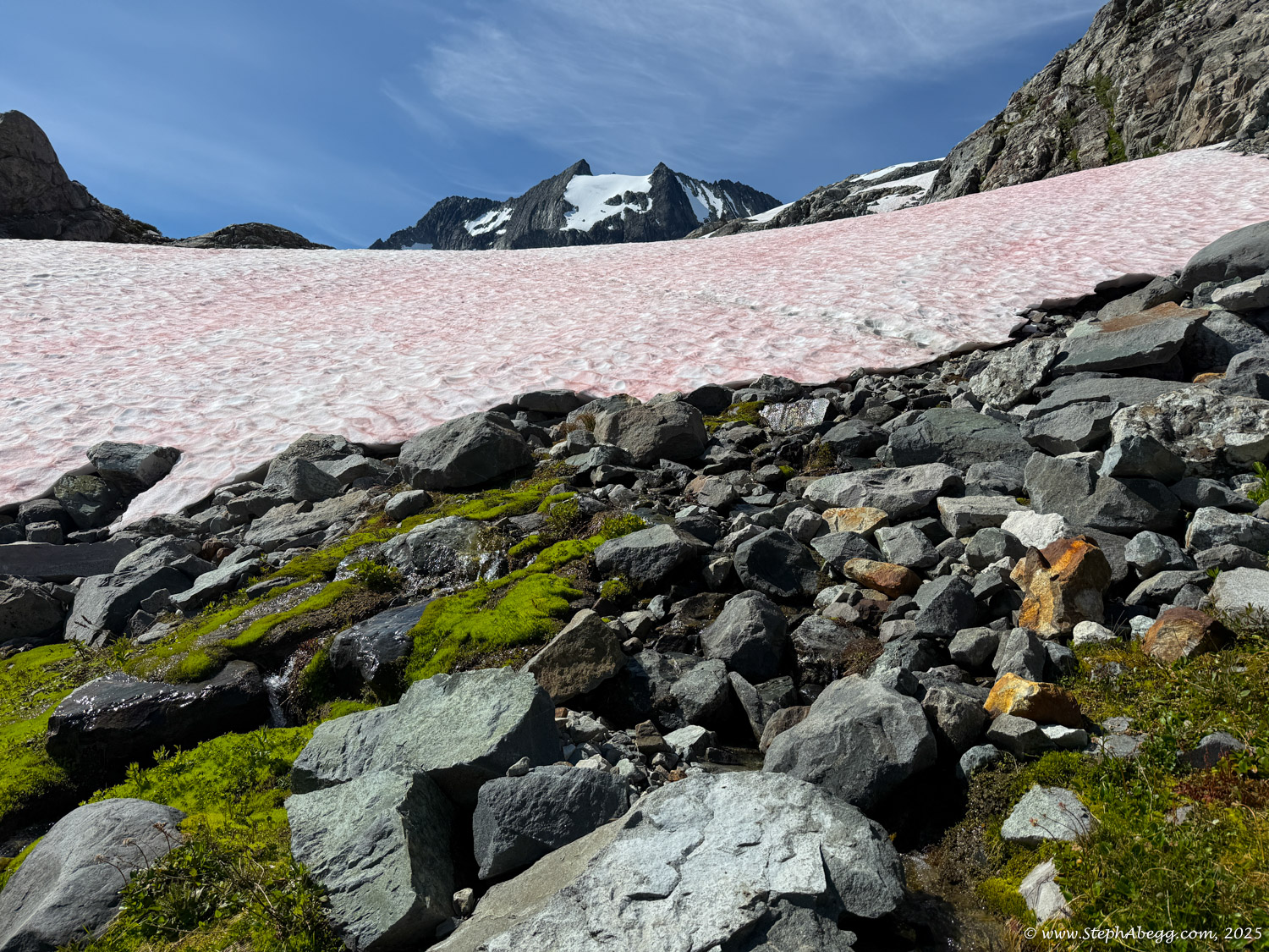
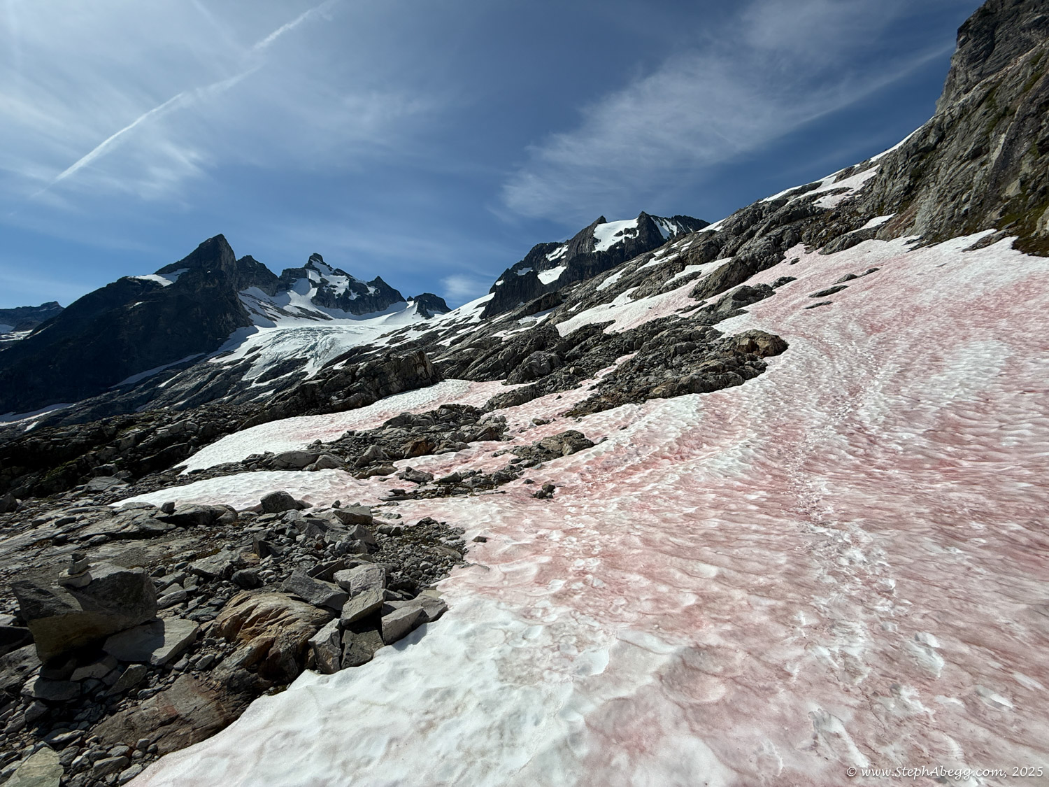
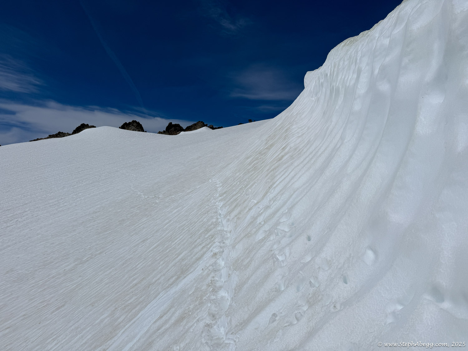
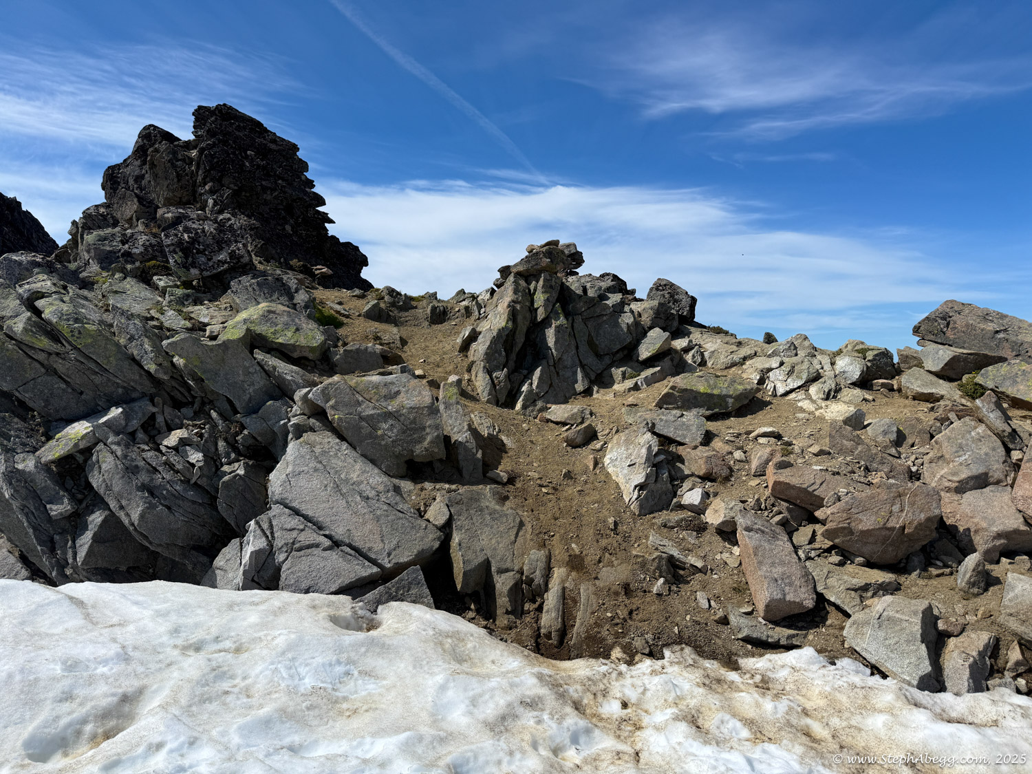
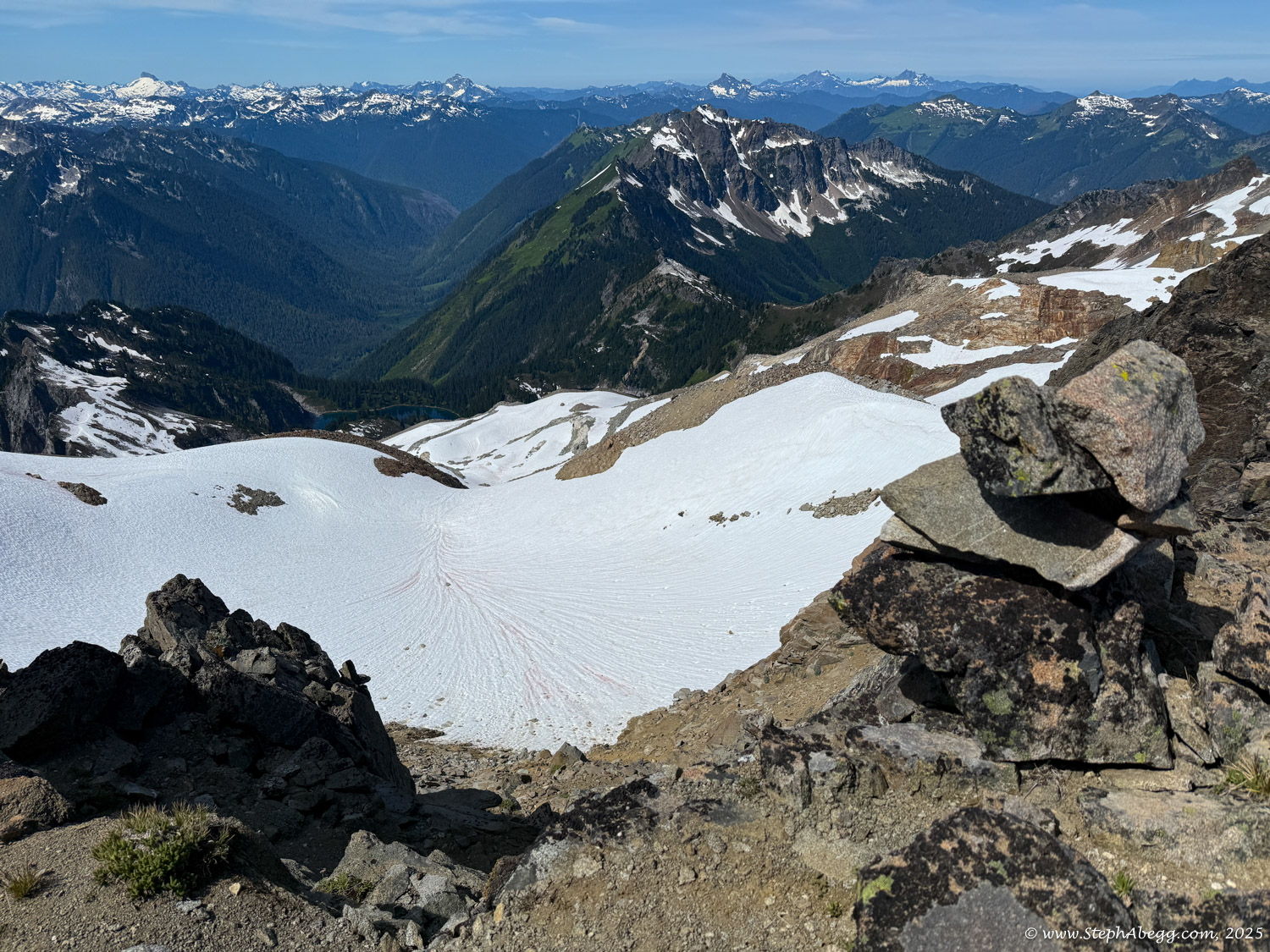
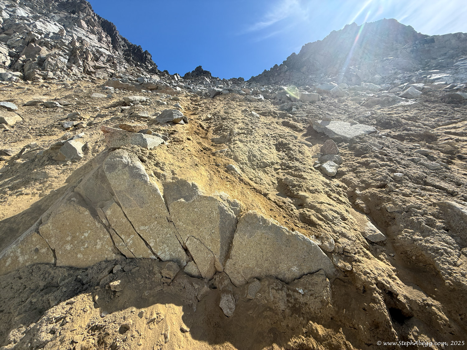
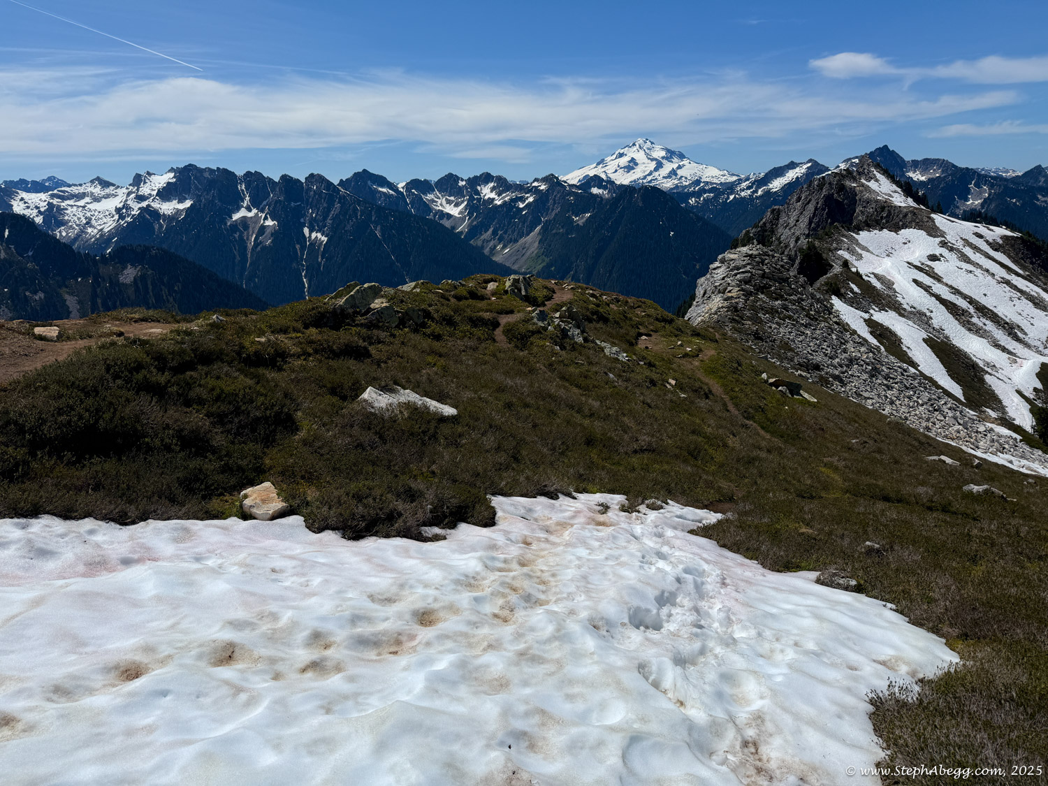
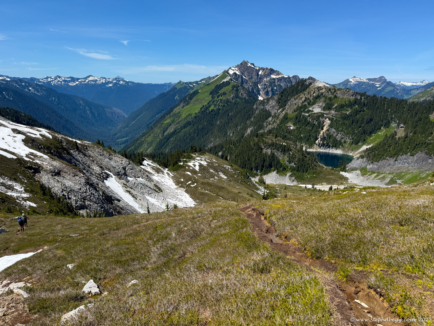
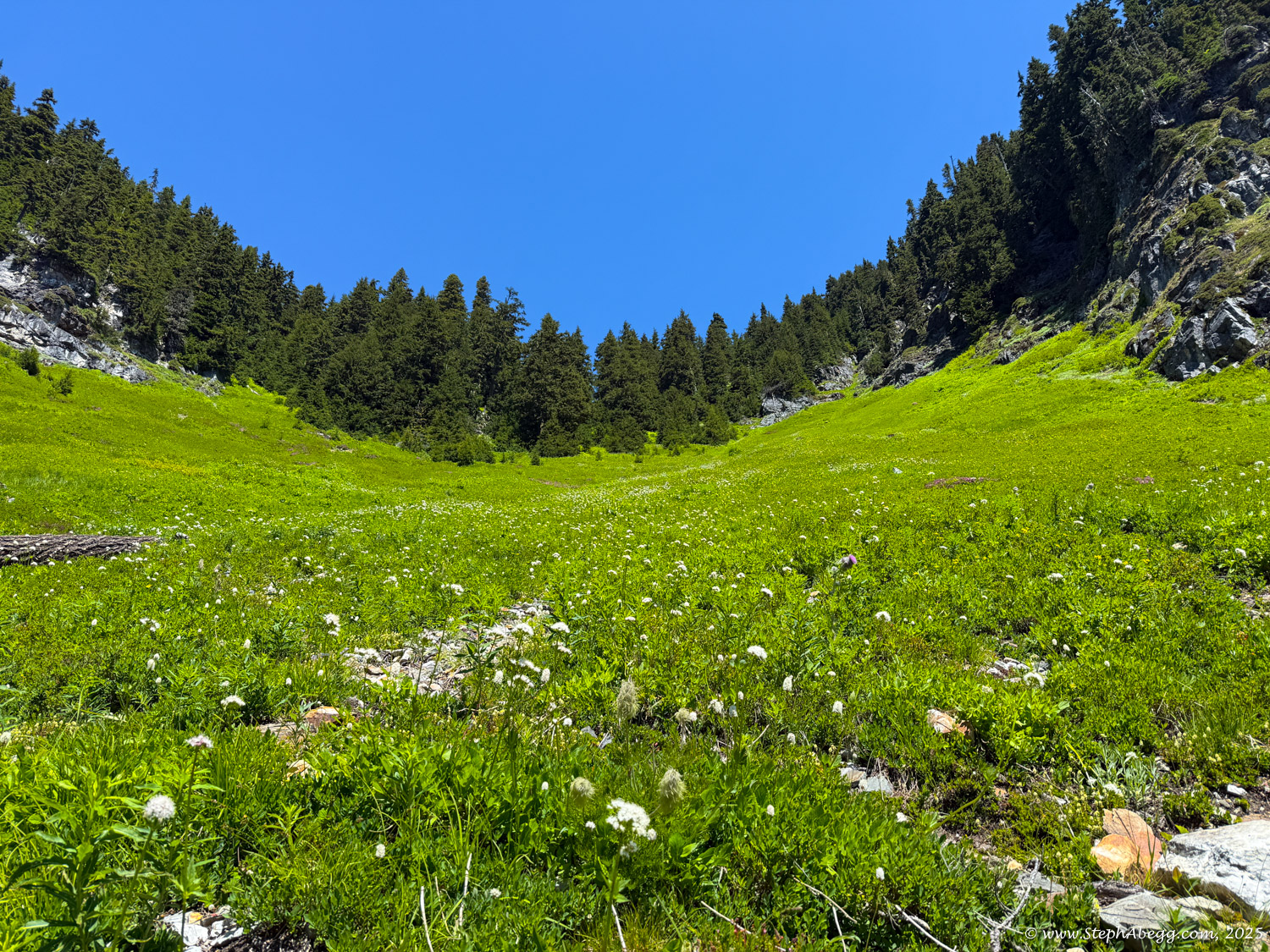
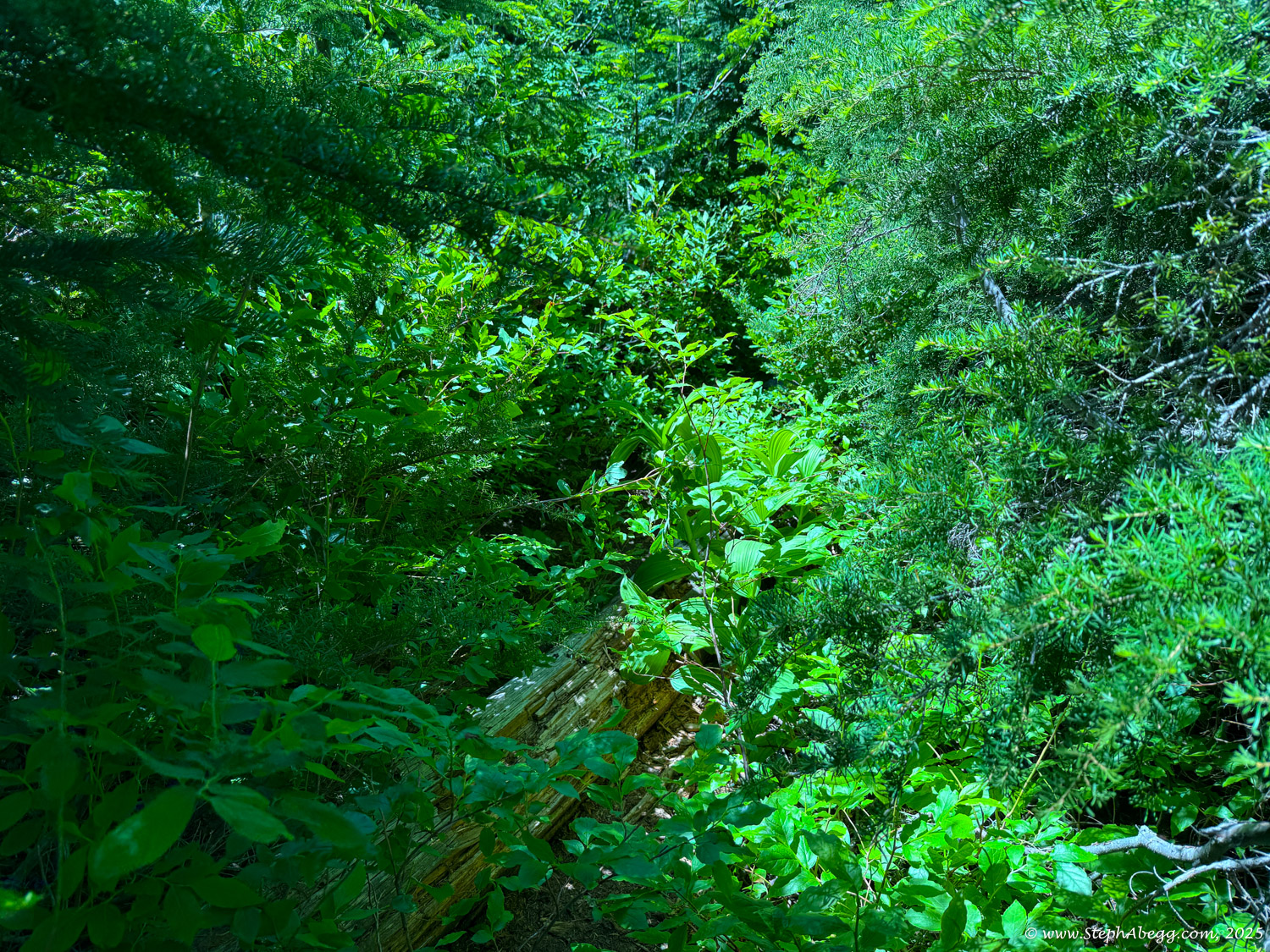
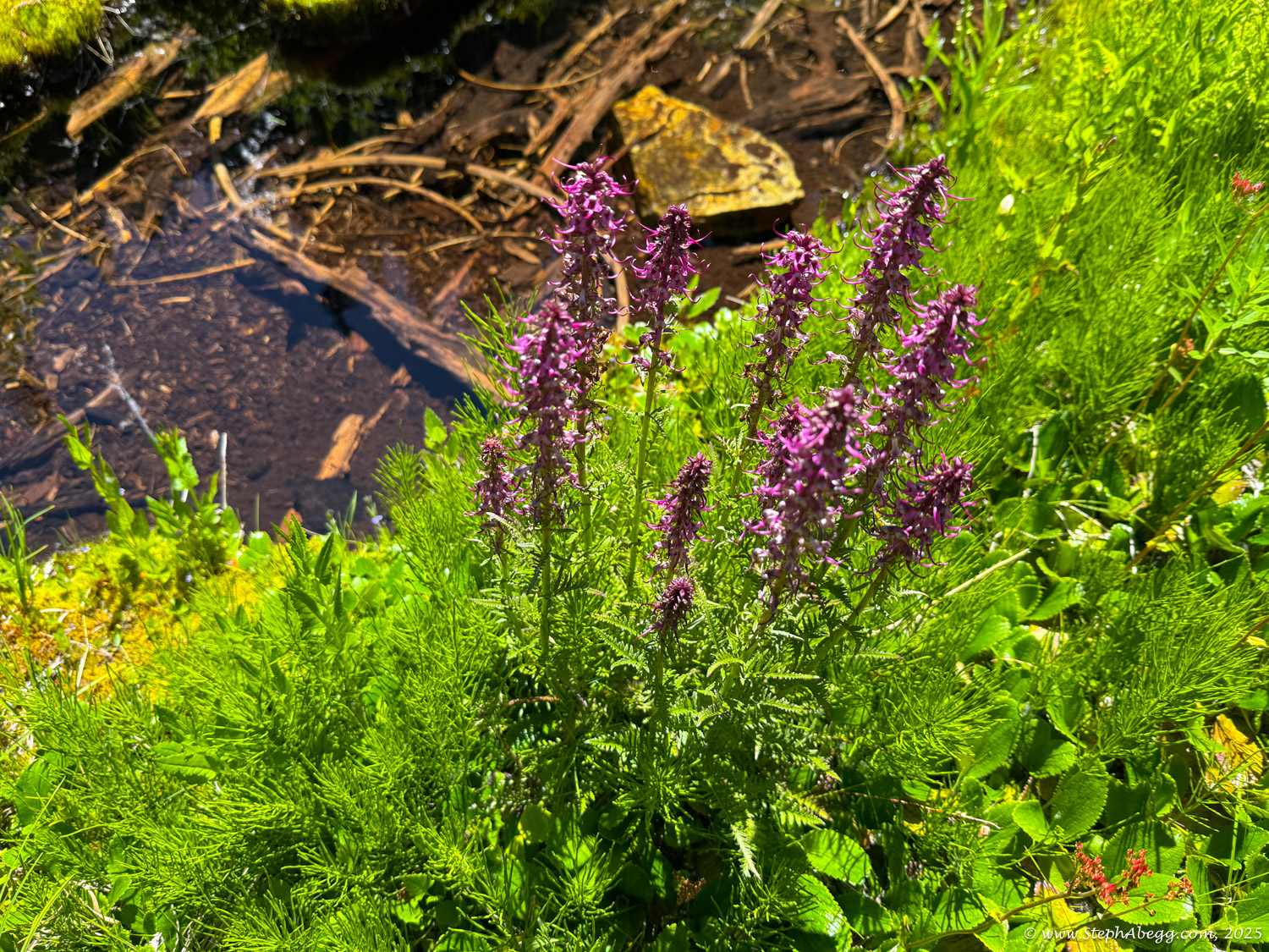
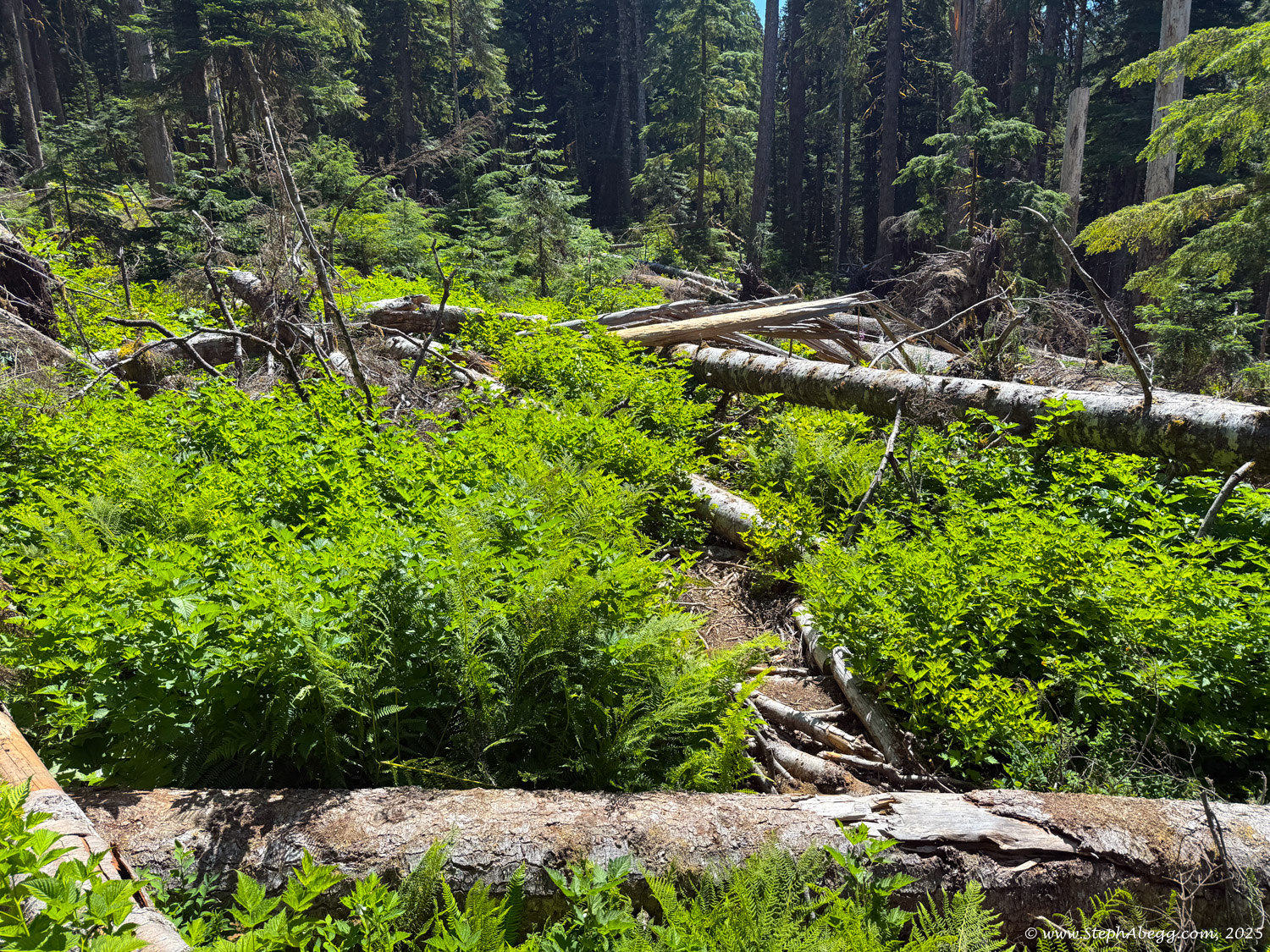
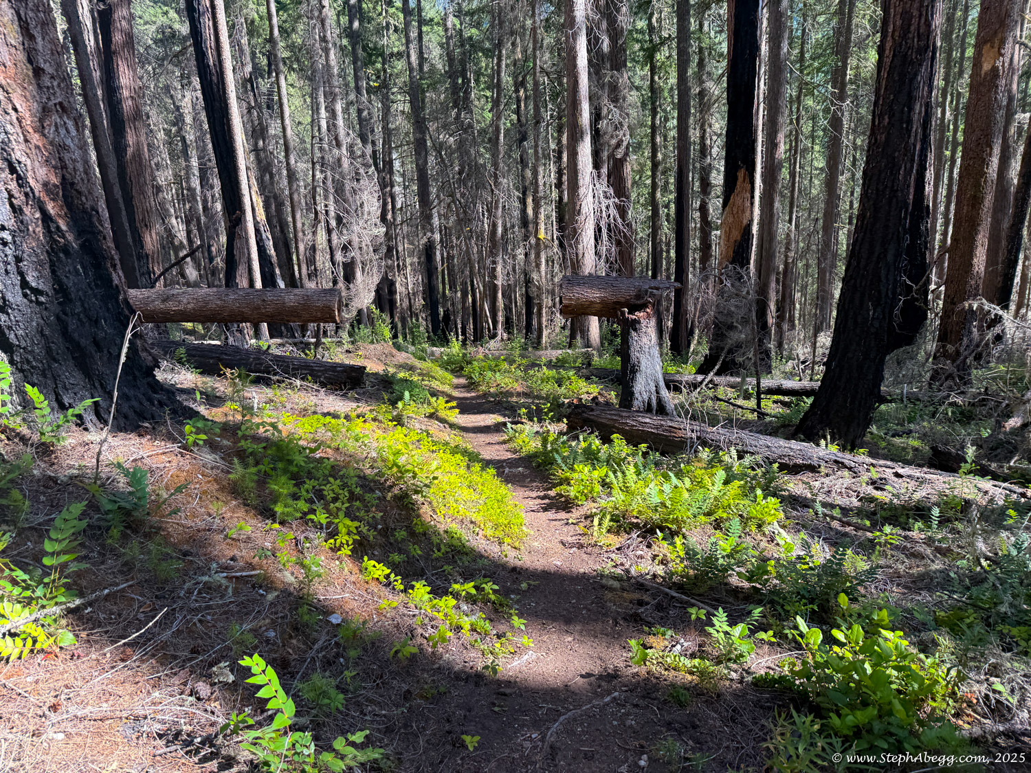
The Ptarmigan Traverse is a 30+ mile, off-trail high route that weaves between the glaciated peaks of Washington’s North Cascades, rarely straying far from the crest. The scenery is stunning, and the camp spots are spectacular. Most parties complete the traverse in 4–6 days, usually between July and August, and most travel from north to south.
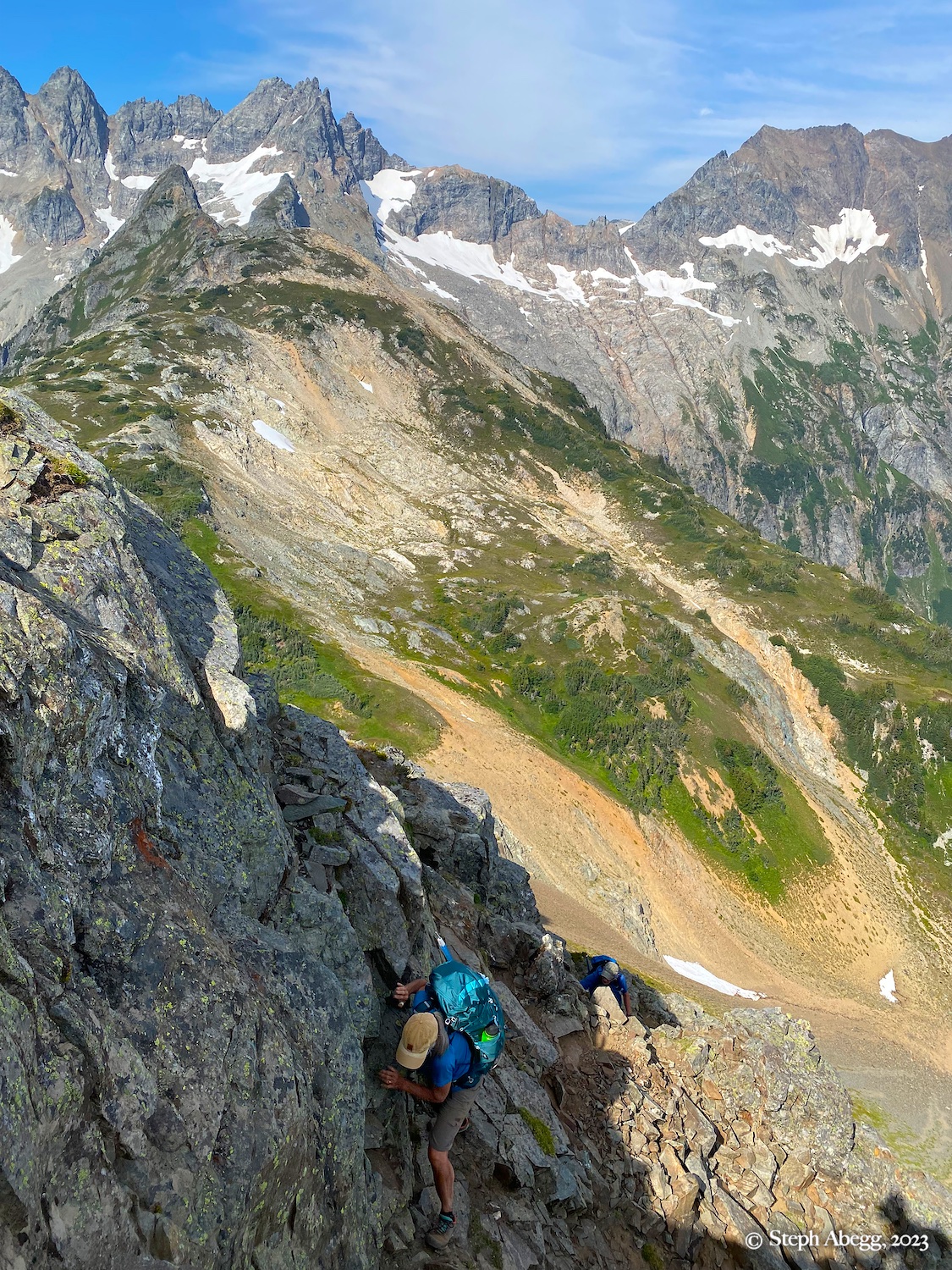
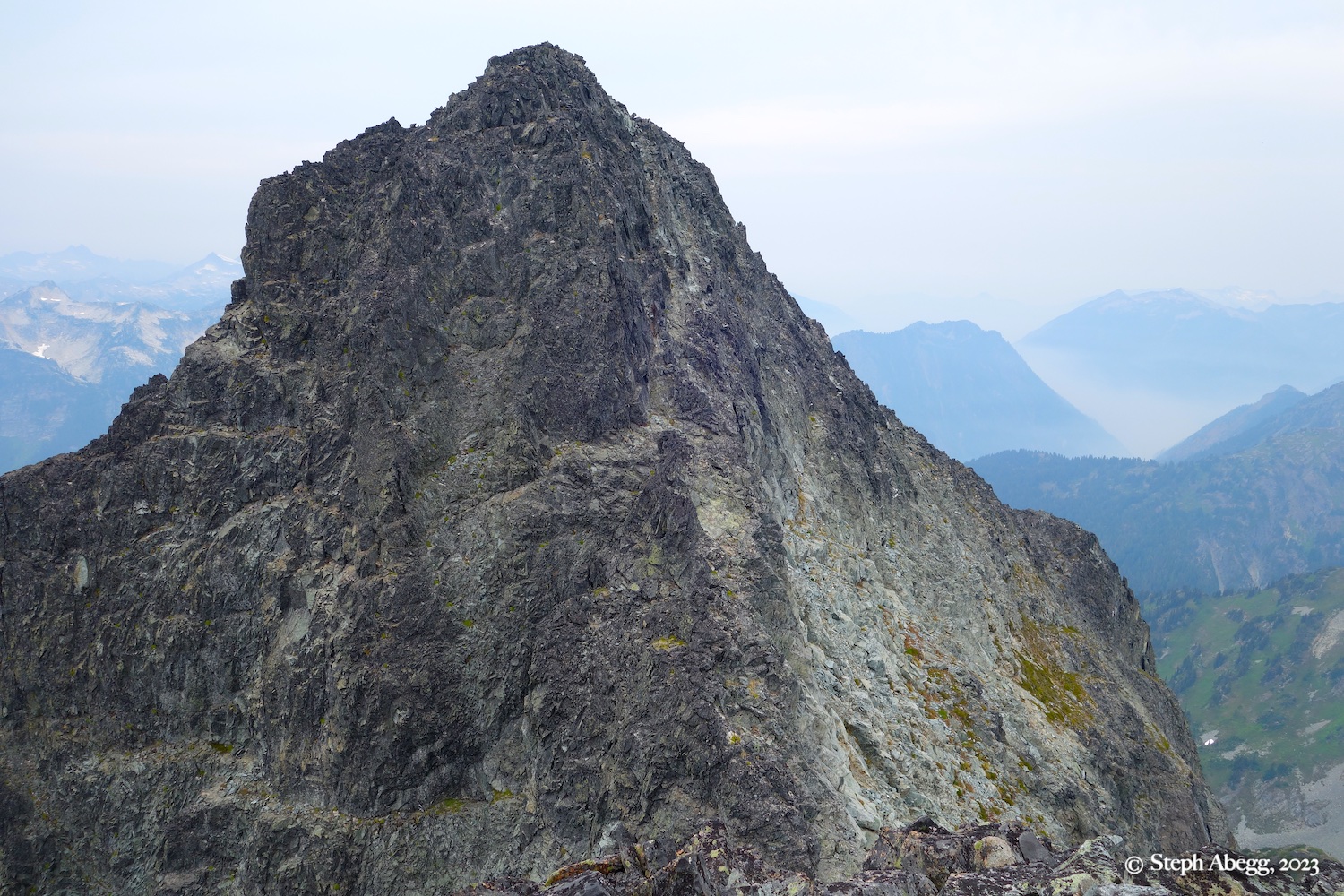
Peaks that may be climbed along the way include Mix-up Peak, Magic Mountain, “Hurry-up” (S Mountain), Mount Formidable, Spider Mountain, Le Conte Mountain, Sentinel Peak, Old Guard, The Lizard, German Helmet, Spire Point, Gunsight Peak, Dome Peak, and Sinister Peak.
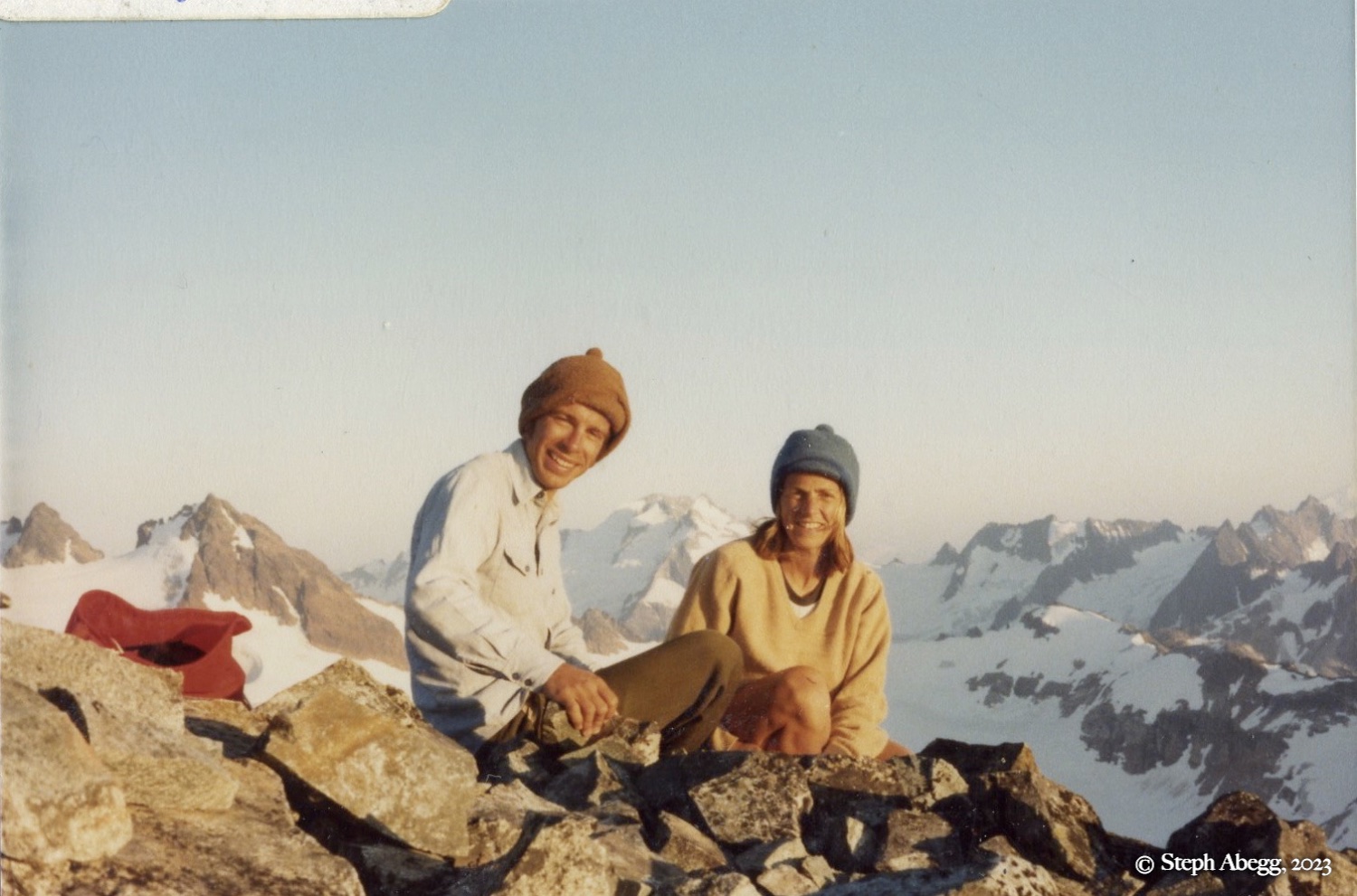
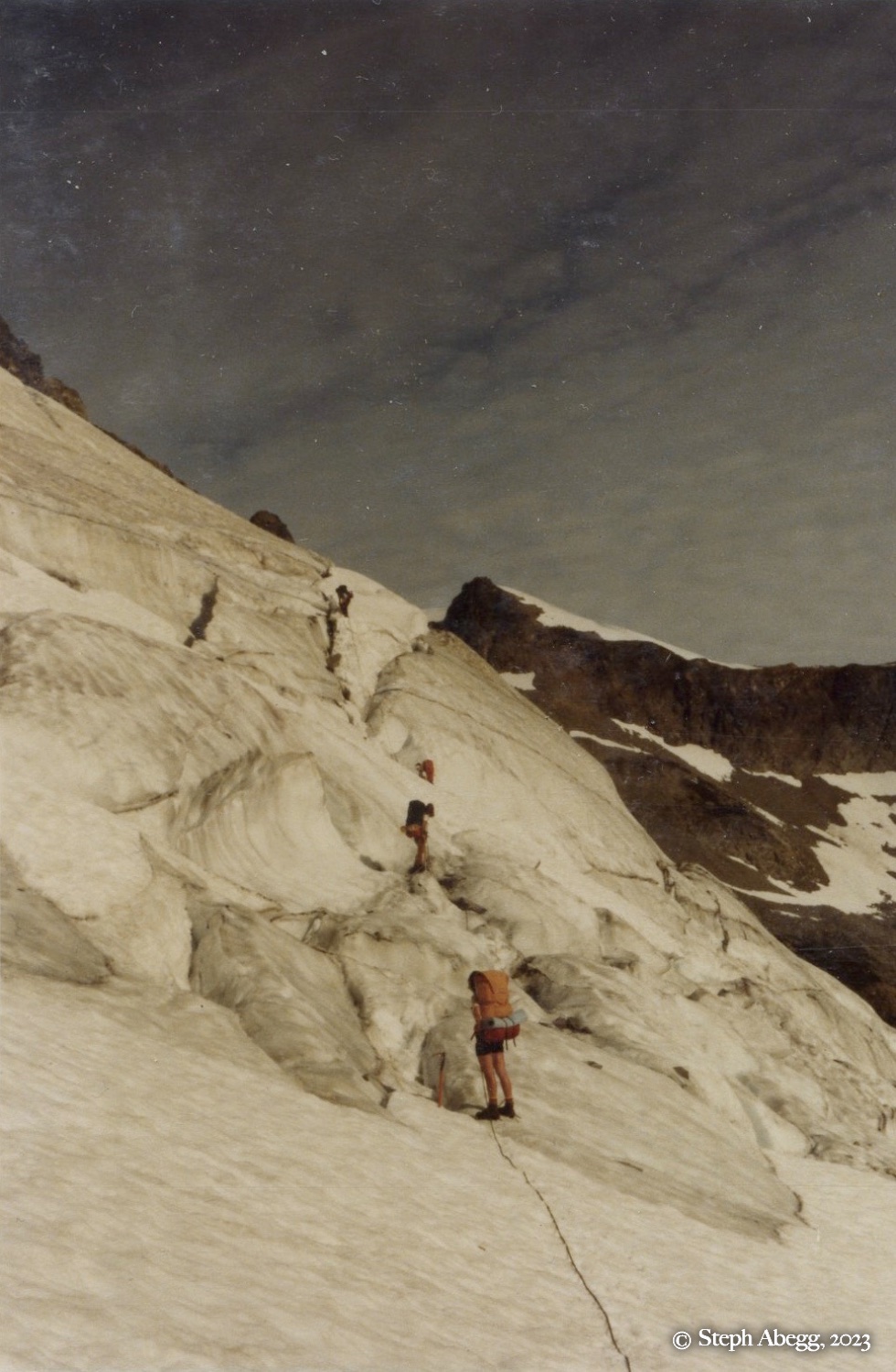
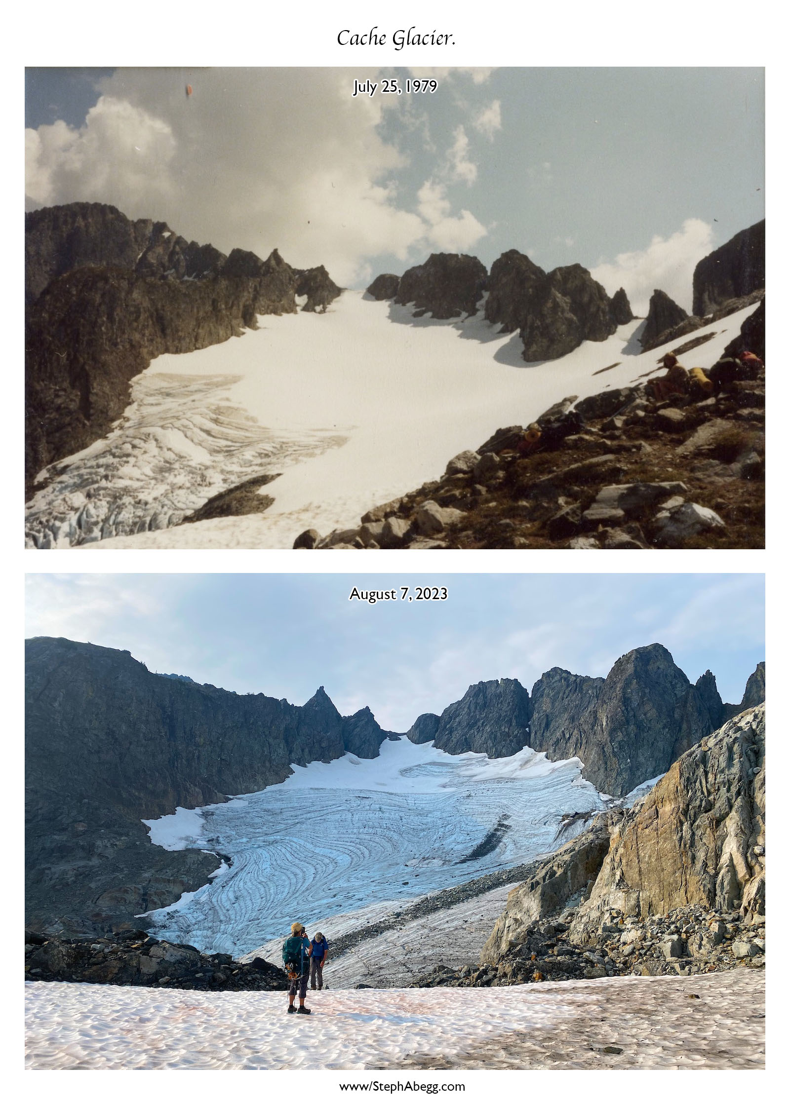
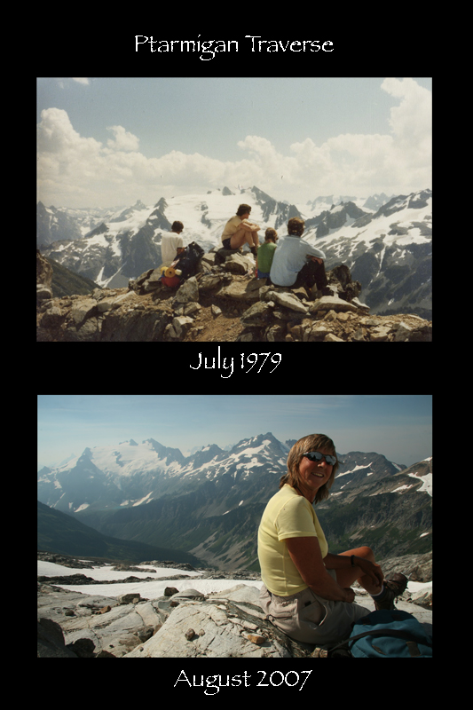
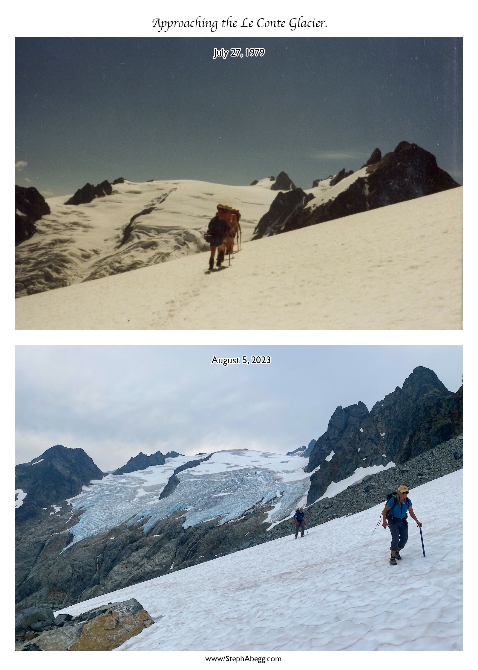
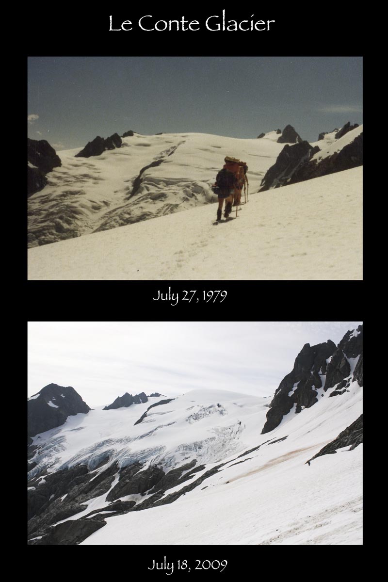
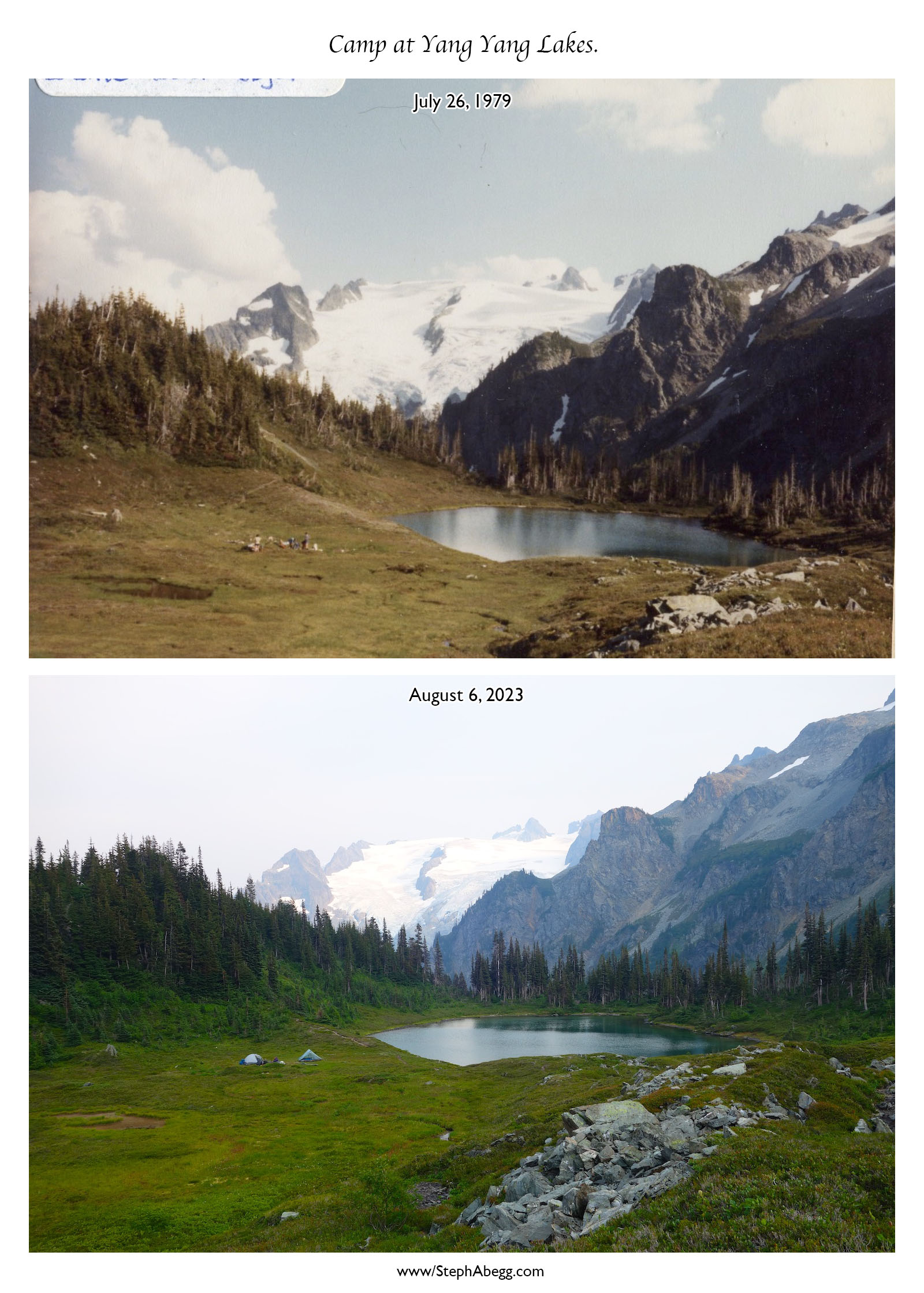
My parents first did the Ptarmigan Traverse in 1979 when they were 29 and had been married for four years. At the time, the route was far less traveled and required a fair bit of route-finding and cross-country navigation.
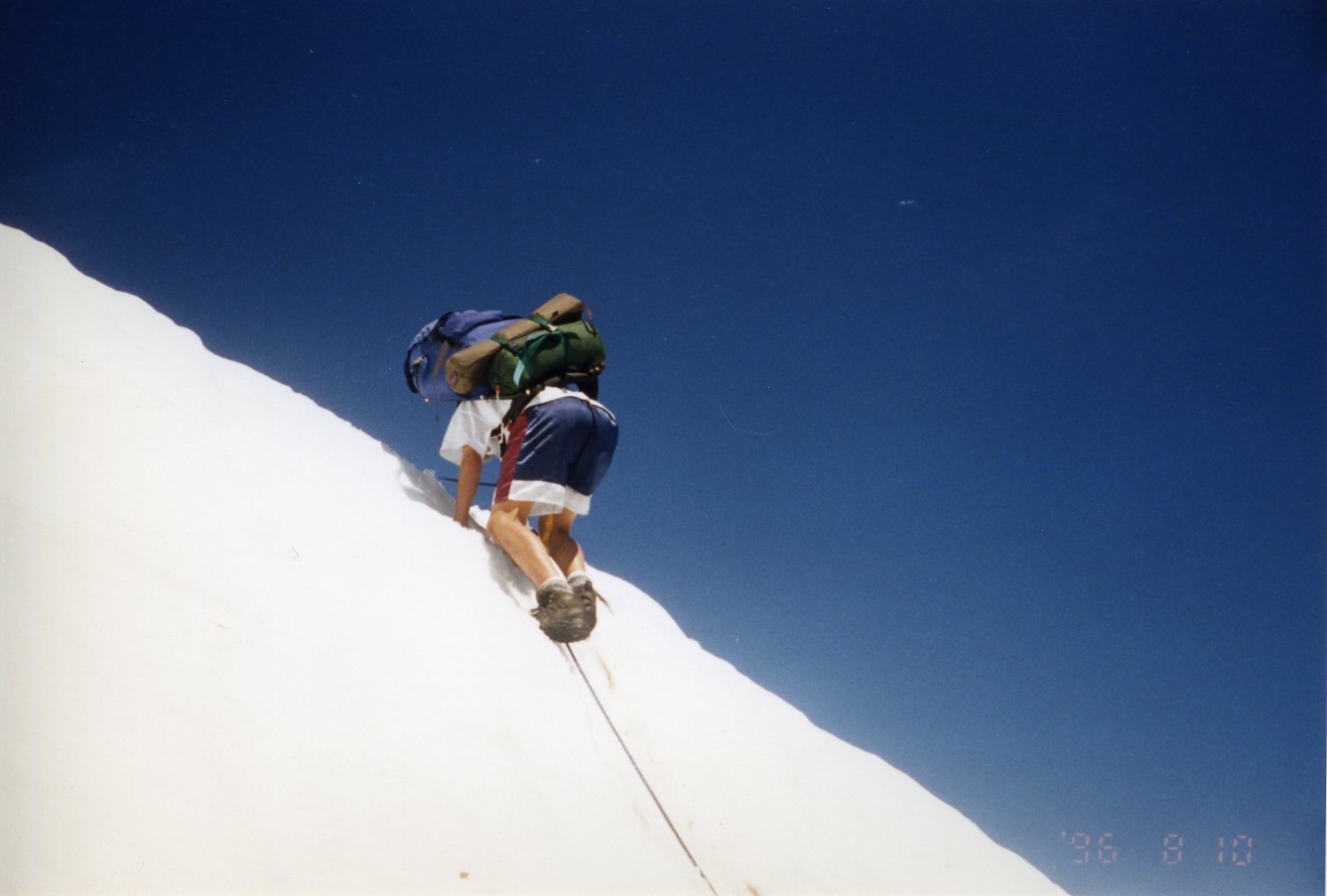
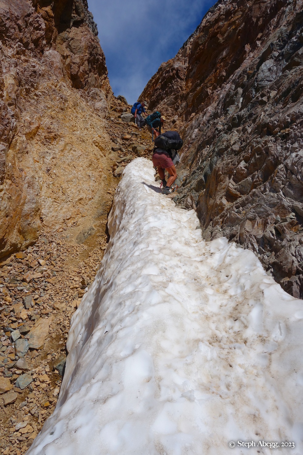
In 1996, they attempted to take my sister Jenny and me (ages 11 and 13) on the traverse. The original plan had been a trip up Sahale Arm, but a ranger turned us around for not having permits. So we defaulted to the Ptarmigan Traverse, which didn’t require permits. Unfortunately, it proved to be too much for 11-year-old Jenny. That year, the snow step at Cache Col was steep, and by the time she reached the top—sobbing and declaring it a “Death Hike”—we knew we weren’t going any further. We spent the night at the col and hiked out the next day, with my dad promising us a Mariners game if we survived.
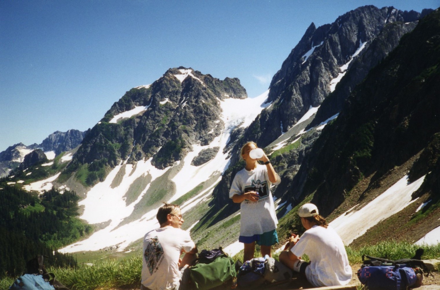
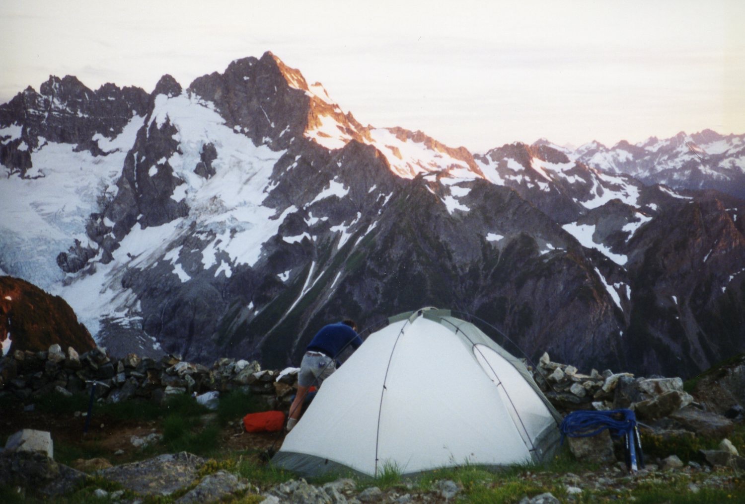
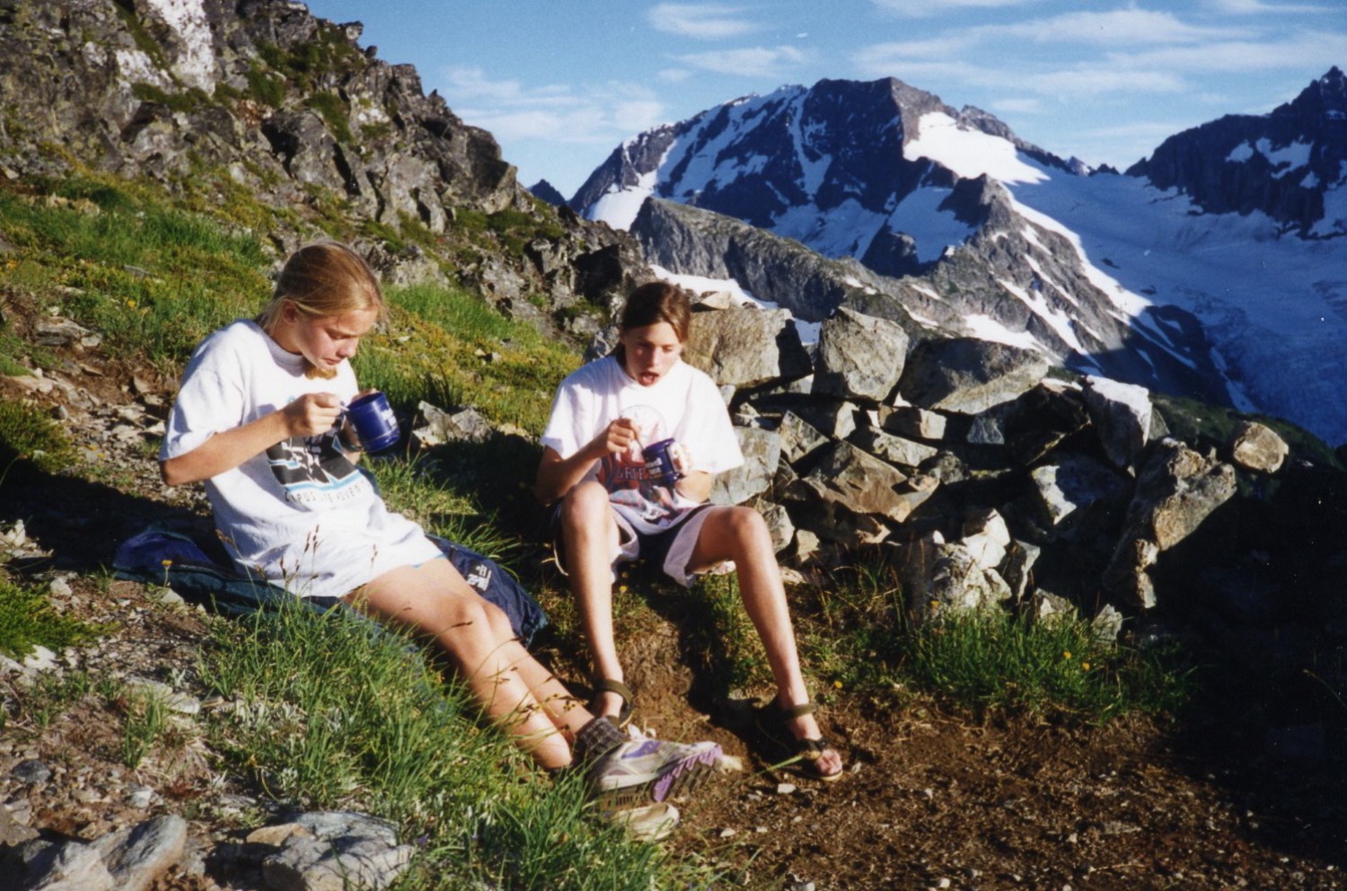
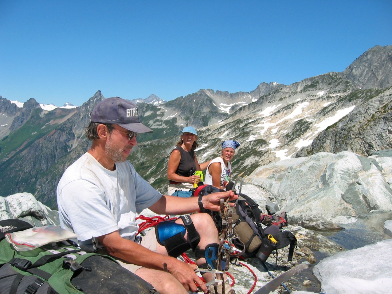
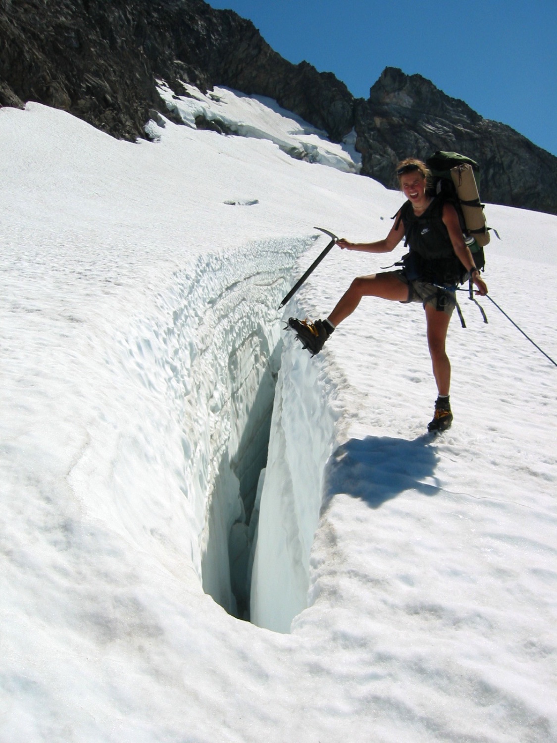
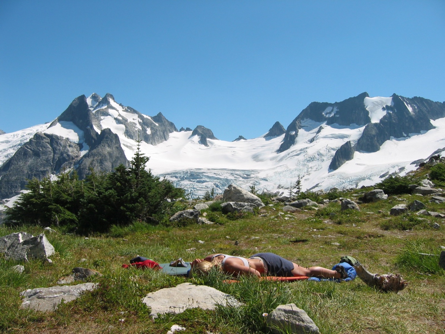
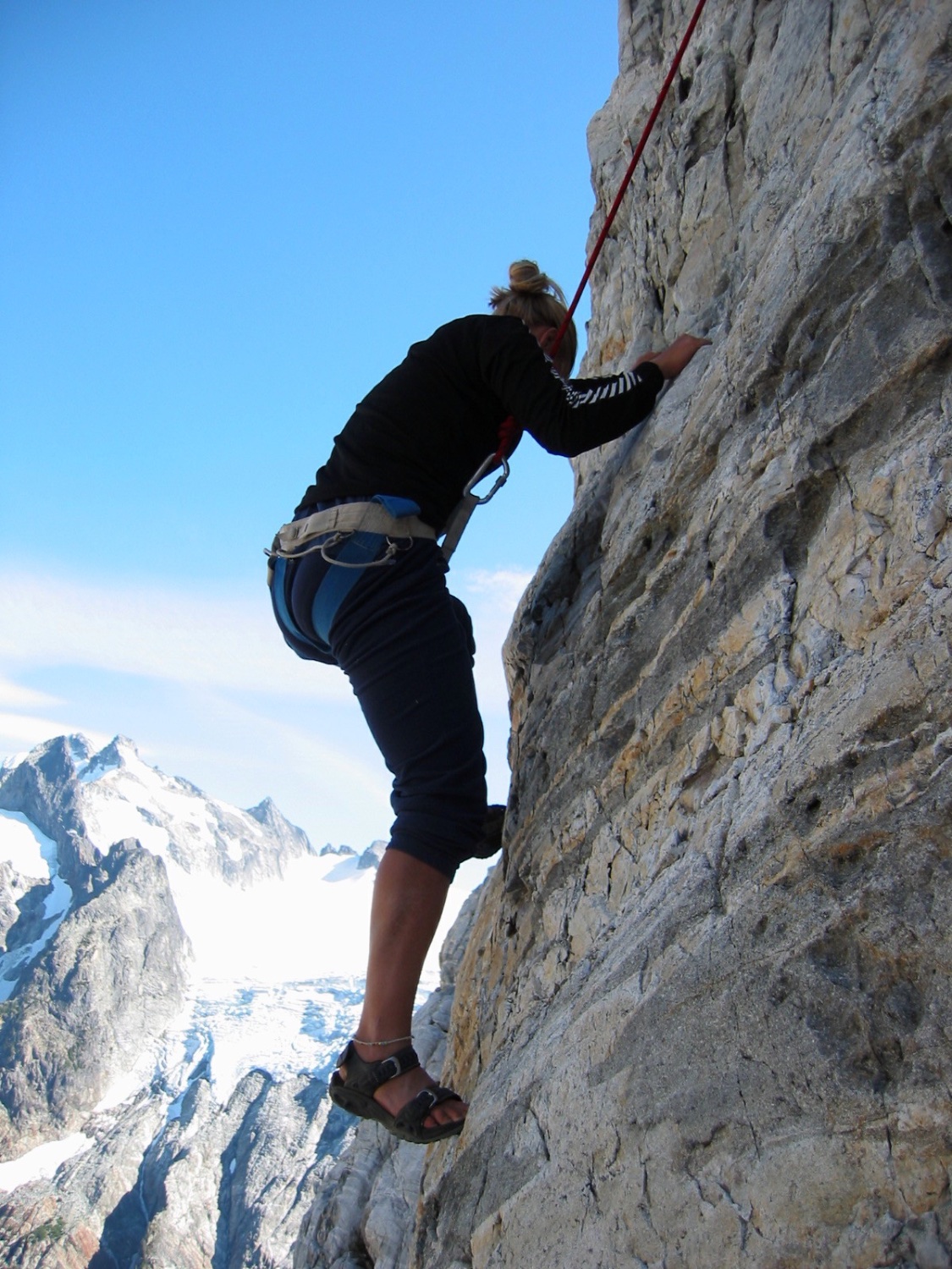
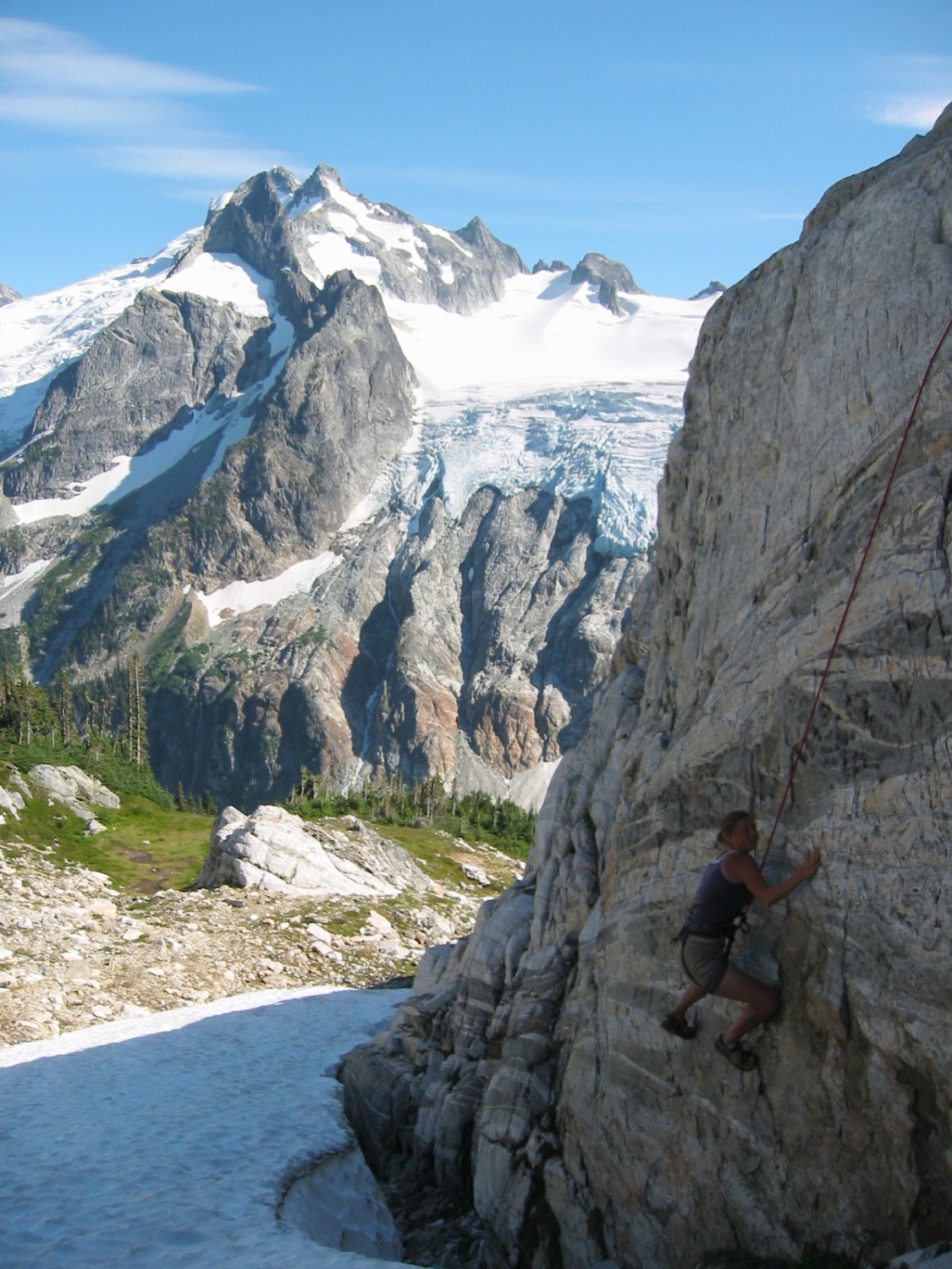
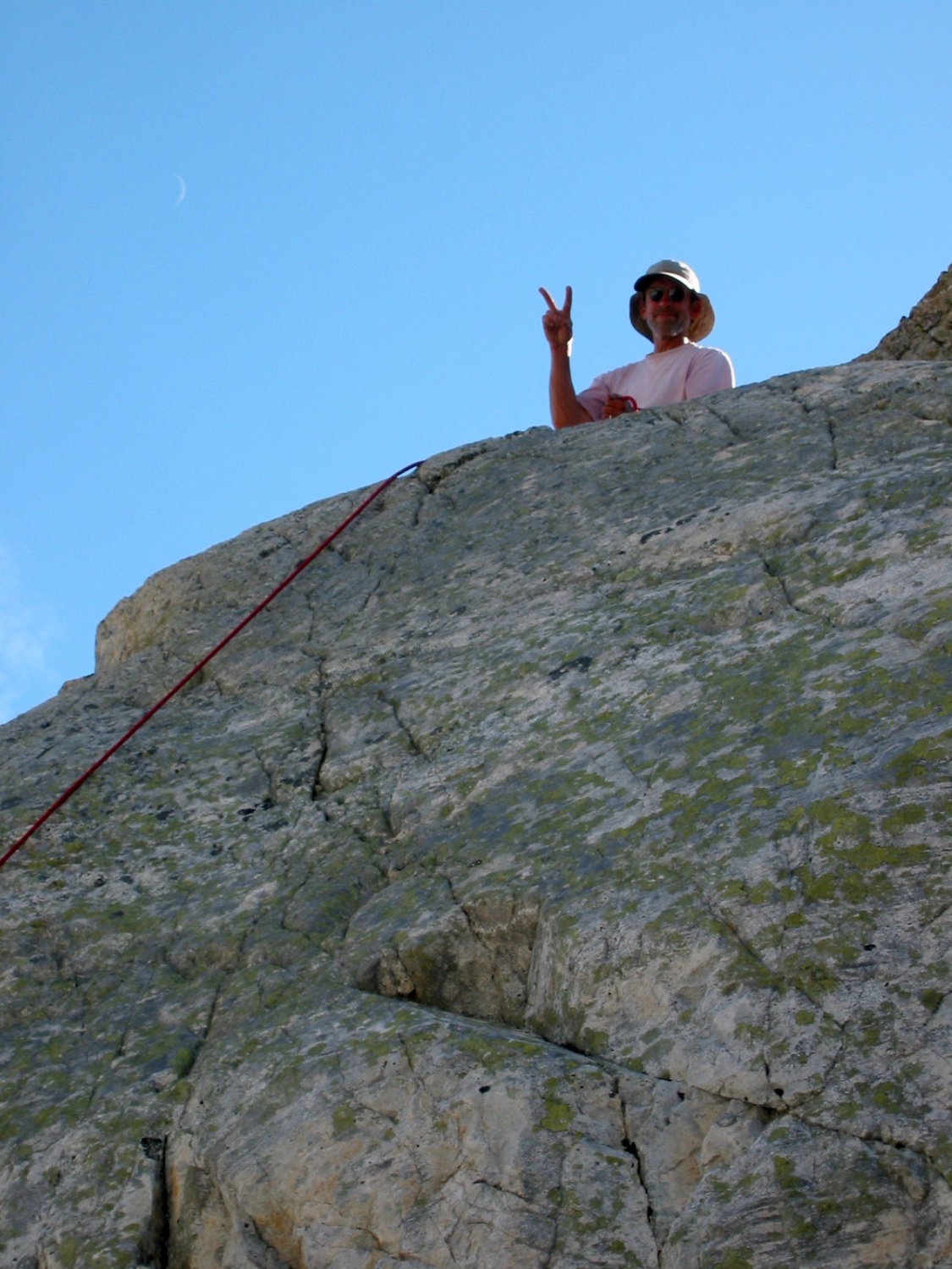
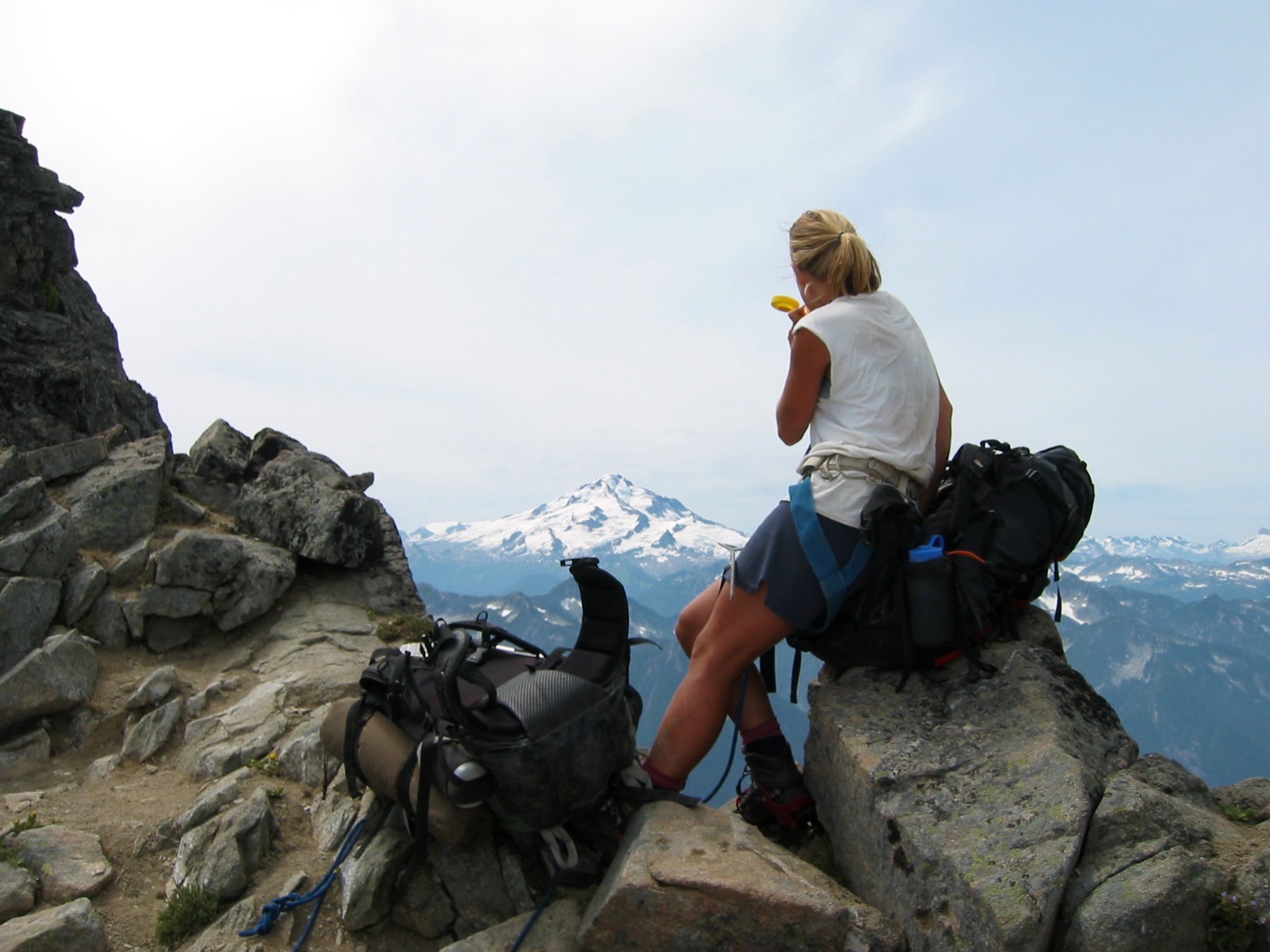
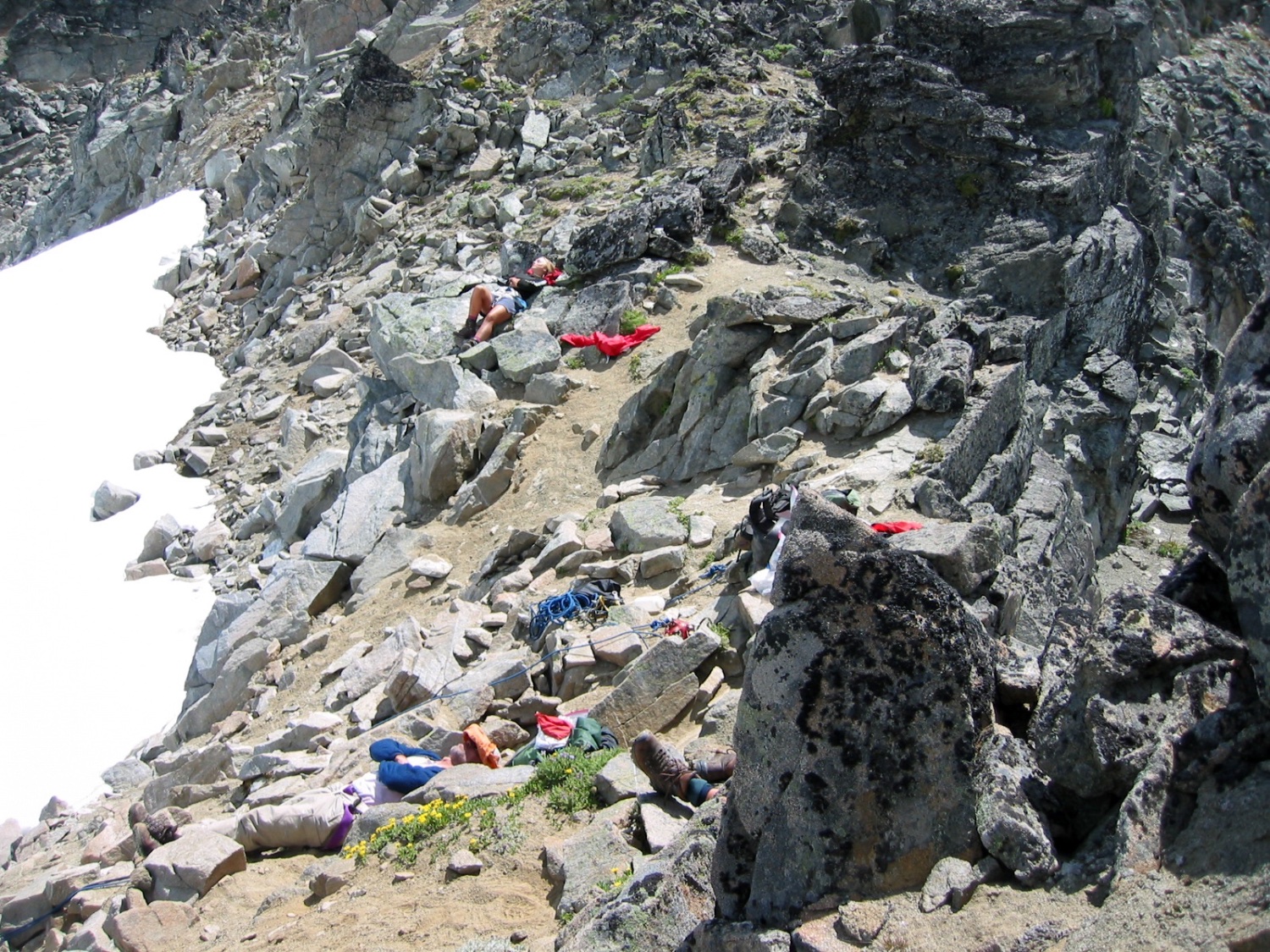
Seven years later, in 2003, Jenny (18), me (20), and my parents (now 53) completed the full Ptarmigan Traverse in six days. It was one of the most memorable backpacking trips we’ve ever done together. We even climbed the East Face (4th-low 5th class) of Spire Point along the way. By that time, the traverse had grown in popularity, and there was a visible path for most of the route.
In 2009, I repeated the traverse with a friend from university, bagging a few summits along the way. Then, in 2020, Jenny ran the entire route in a single 16-hour and 4-minute push.
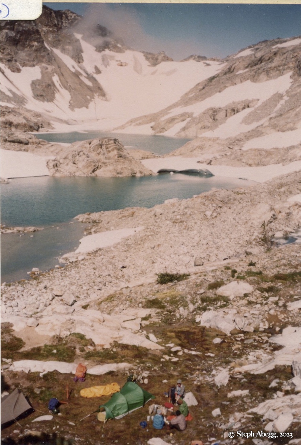
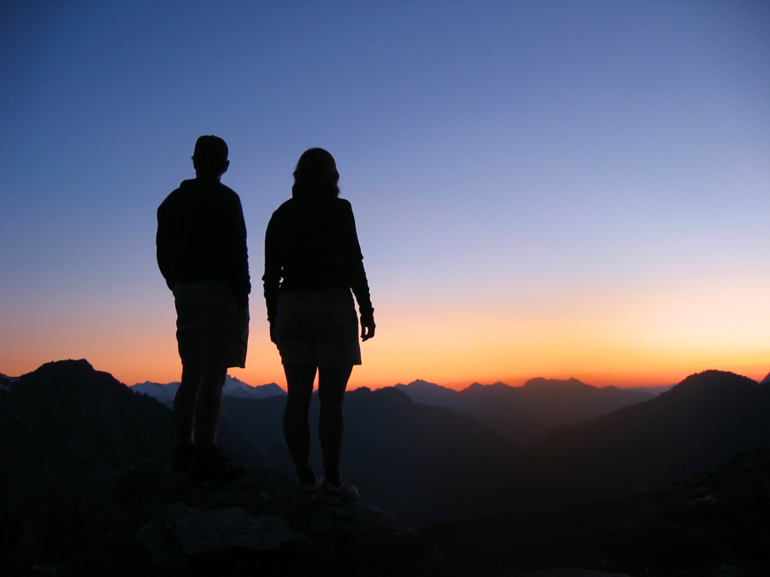
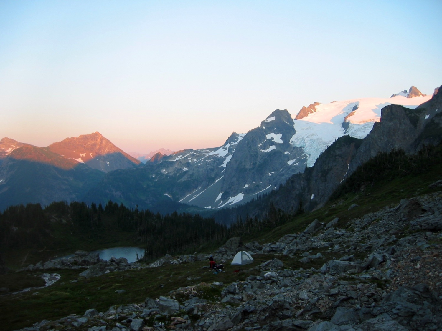
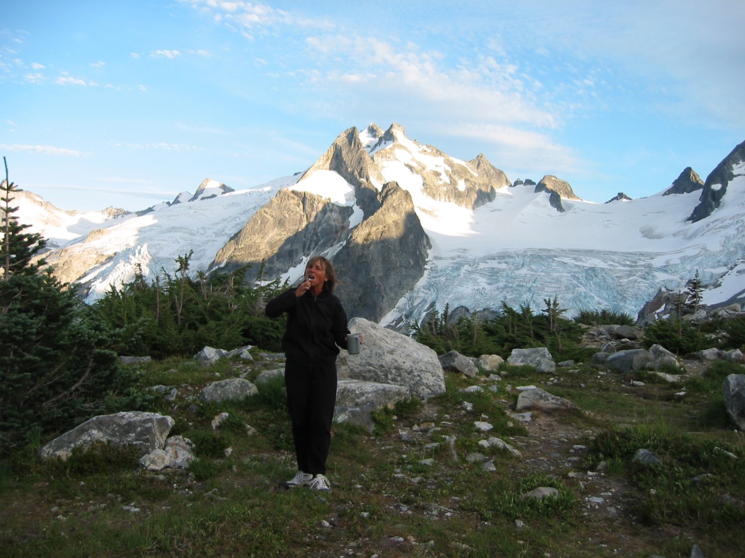
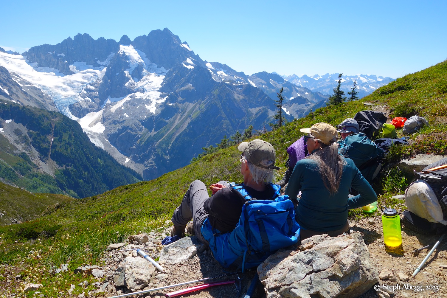
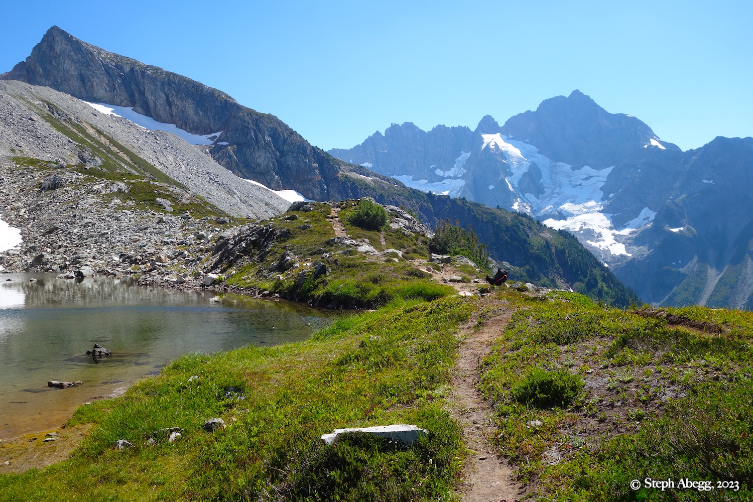
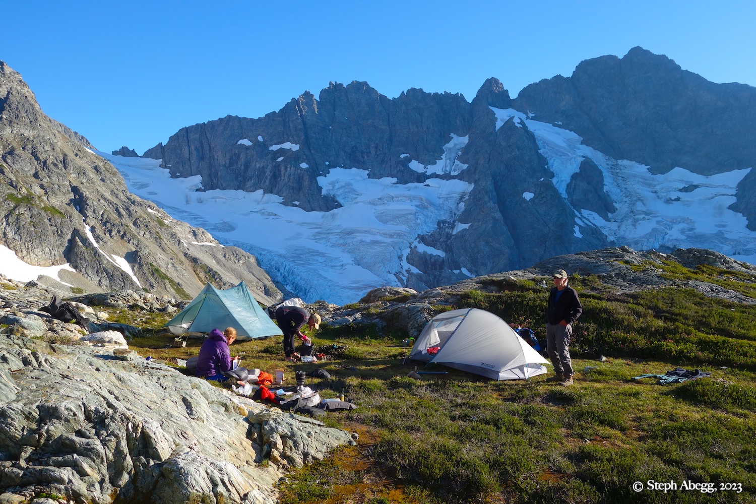
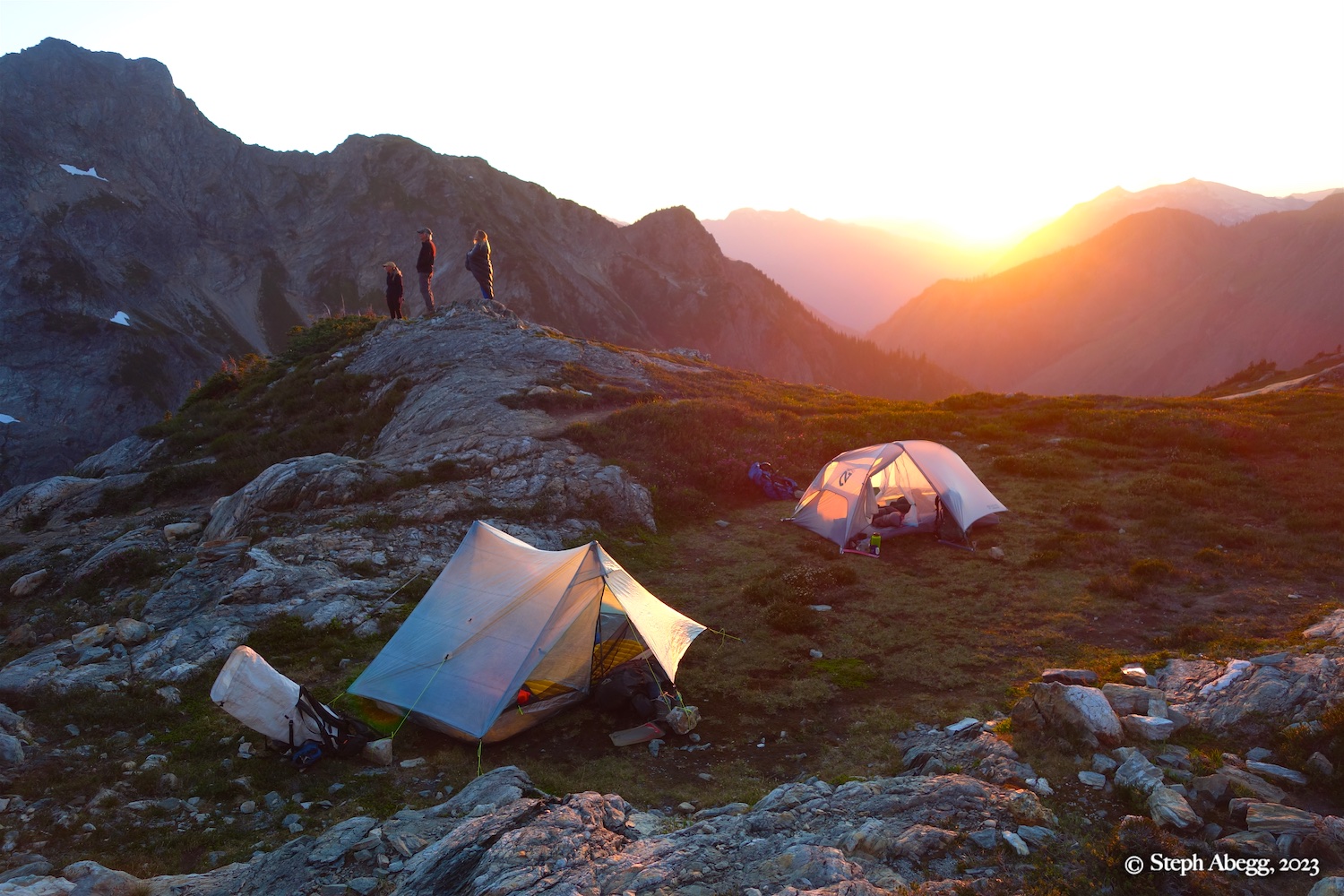
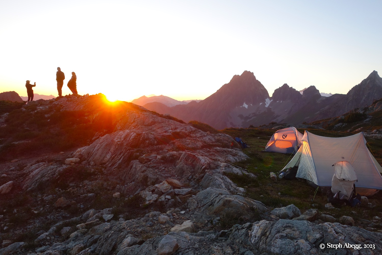
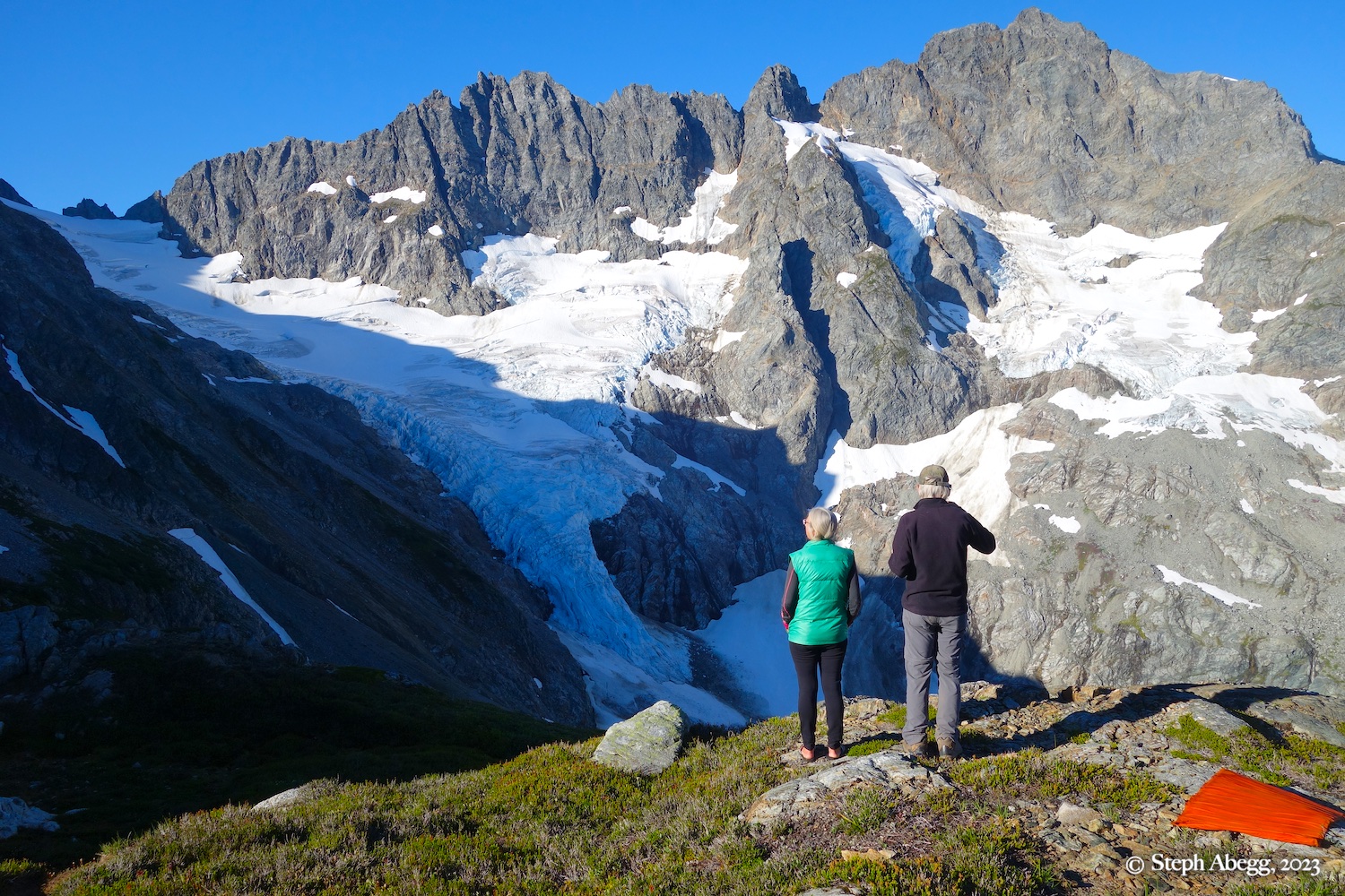
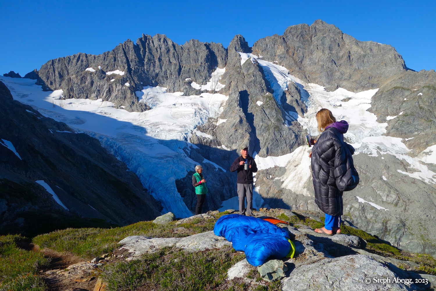
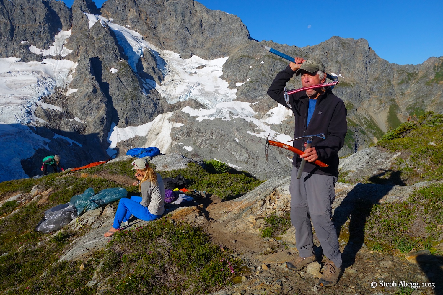
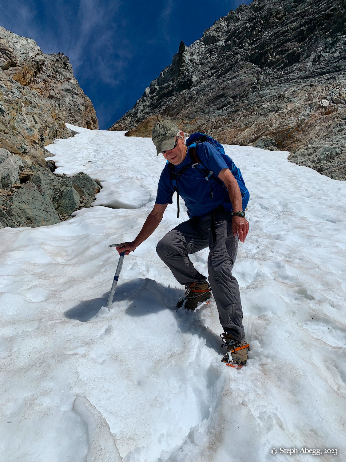
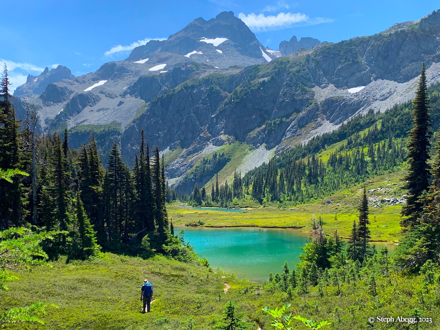
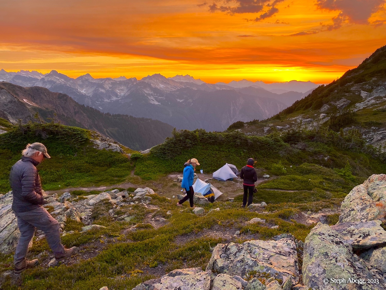
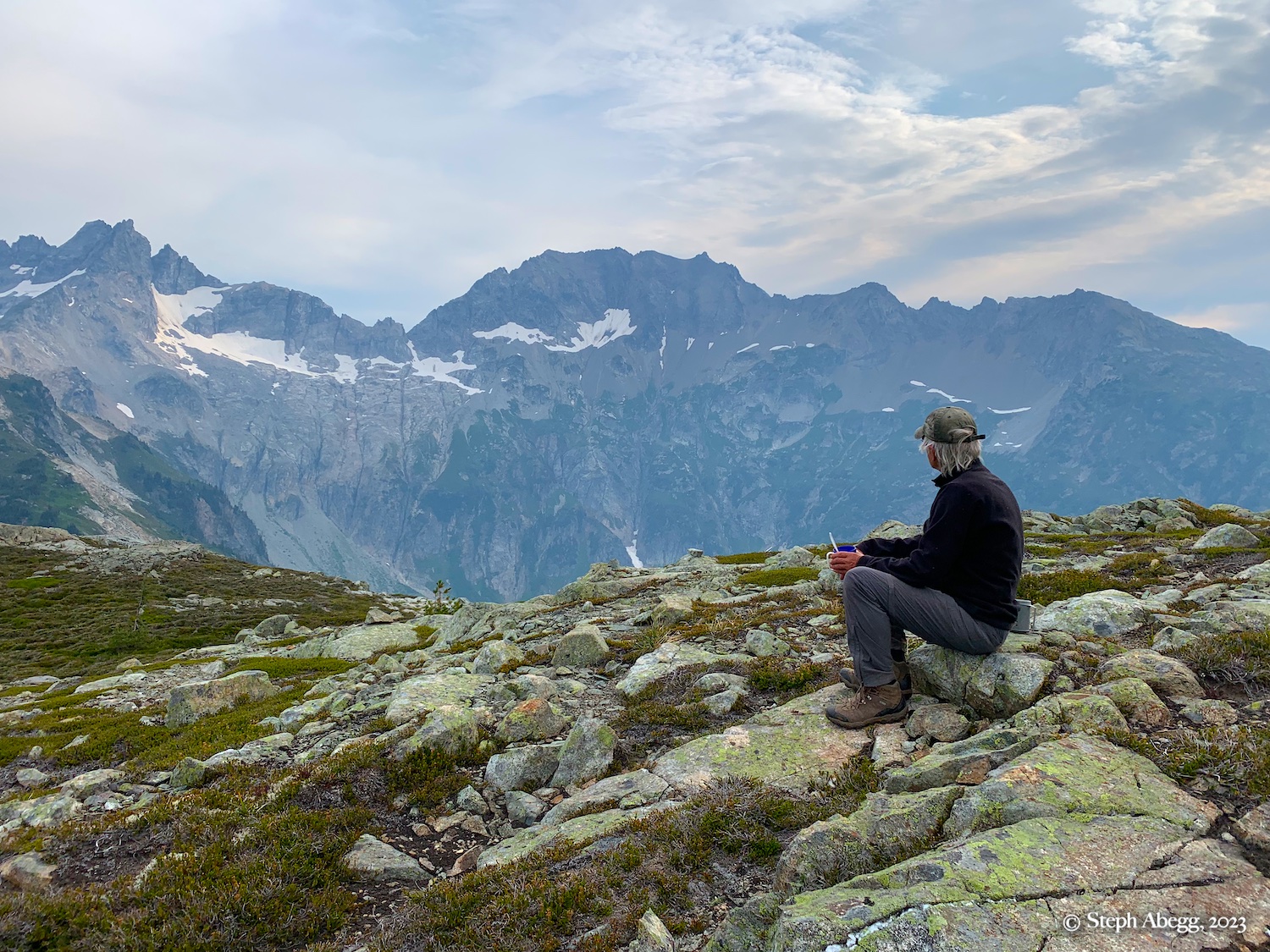
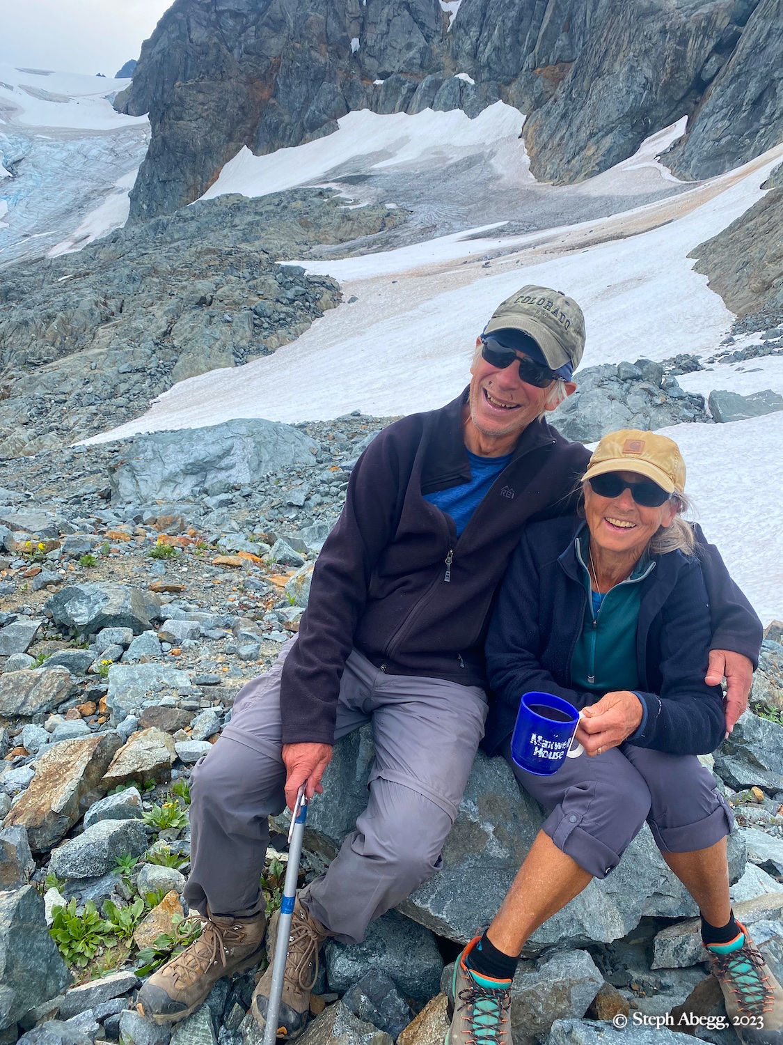
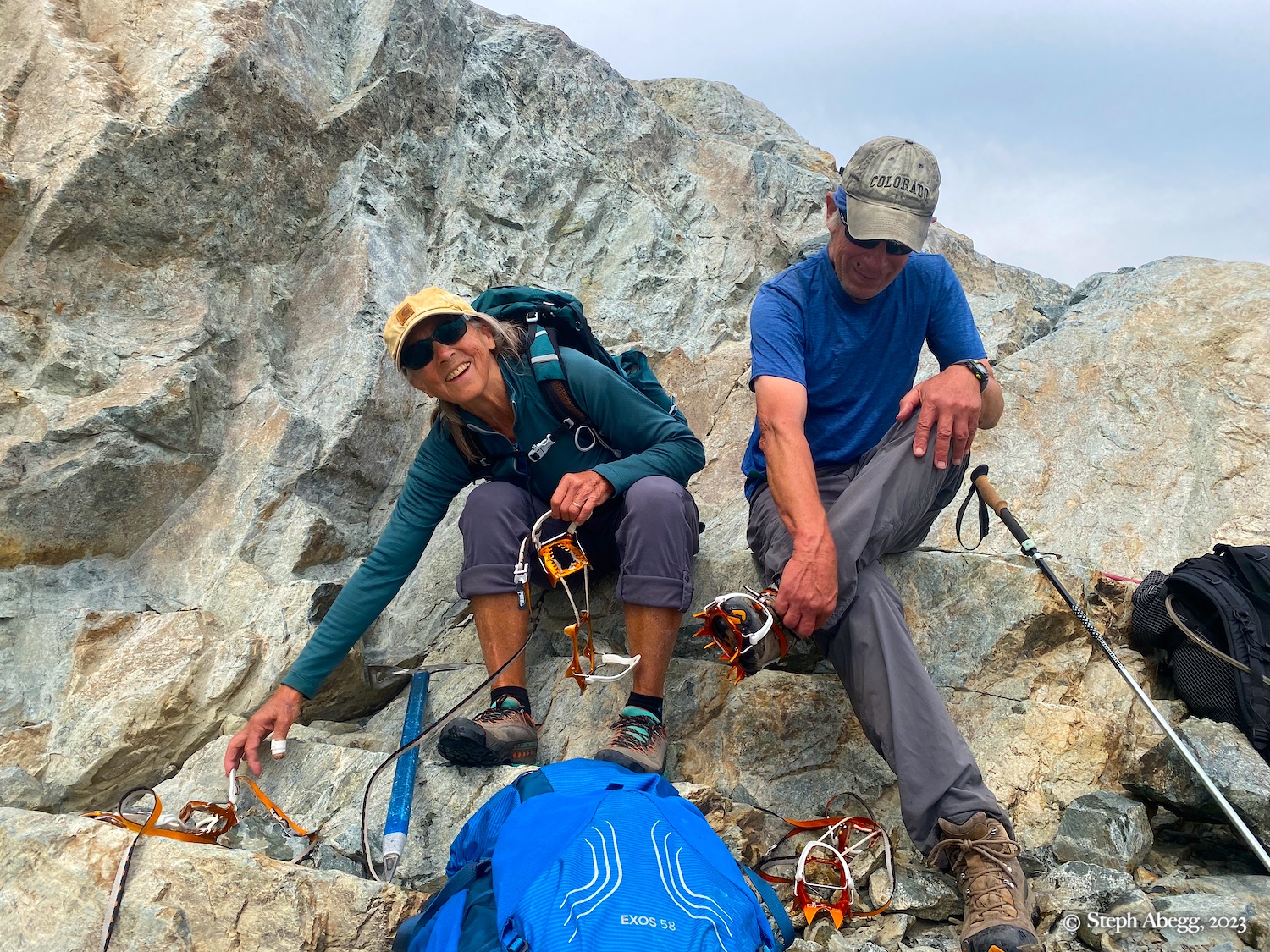
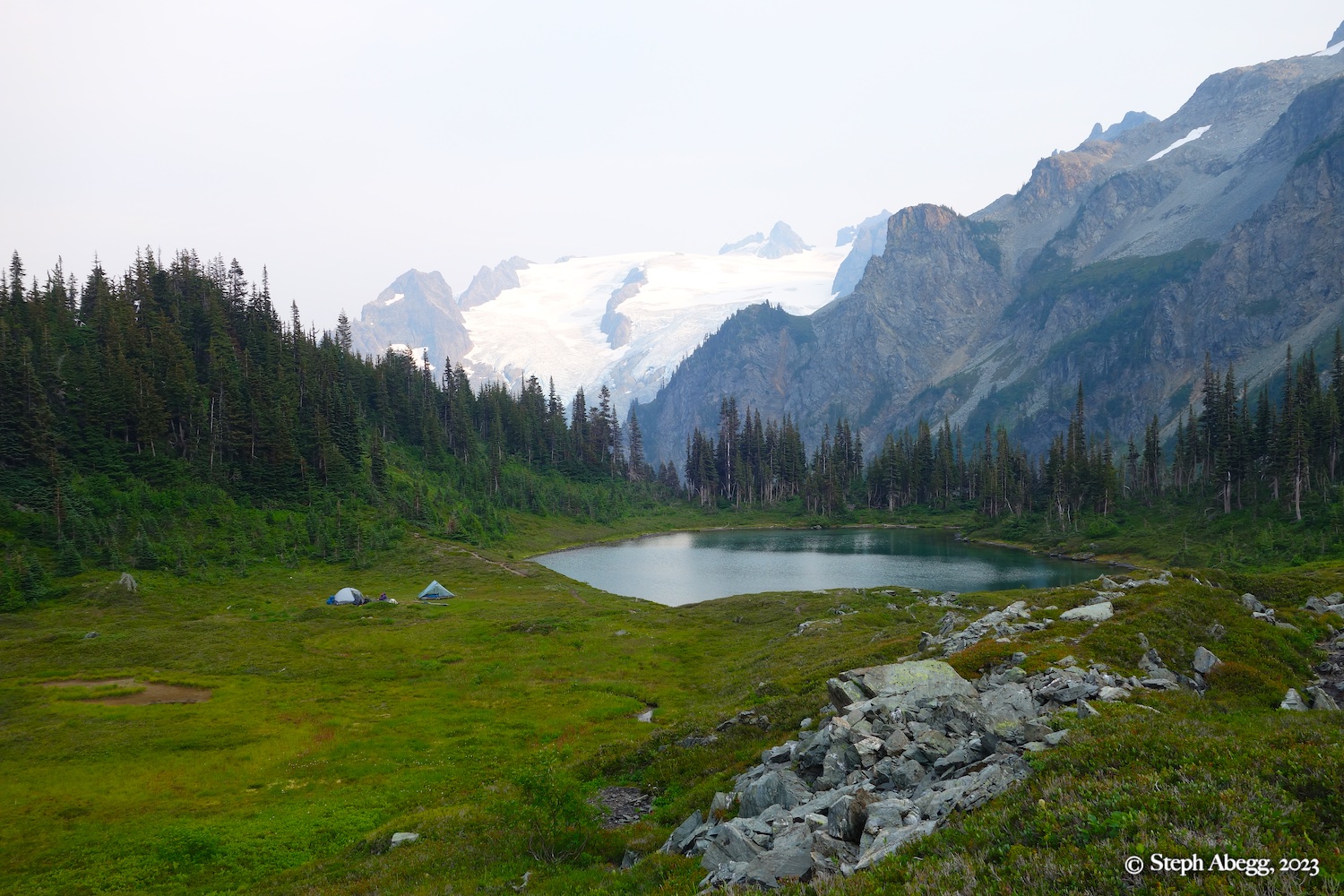
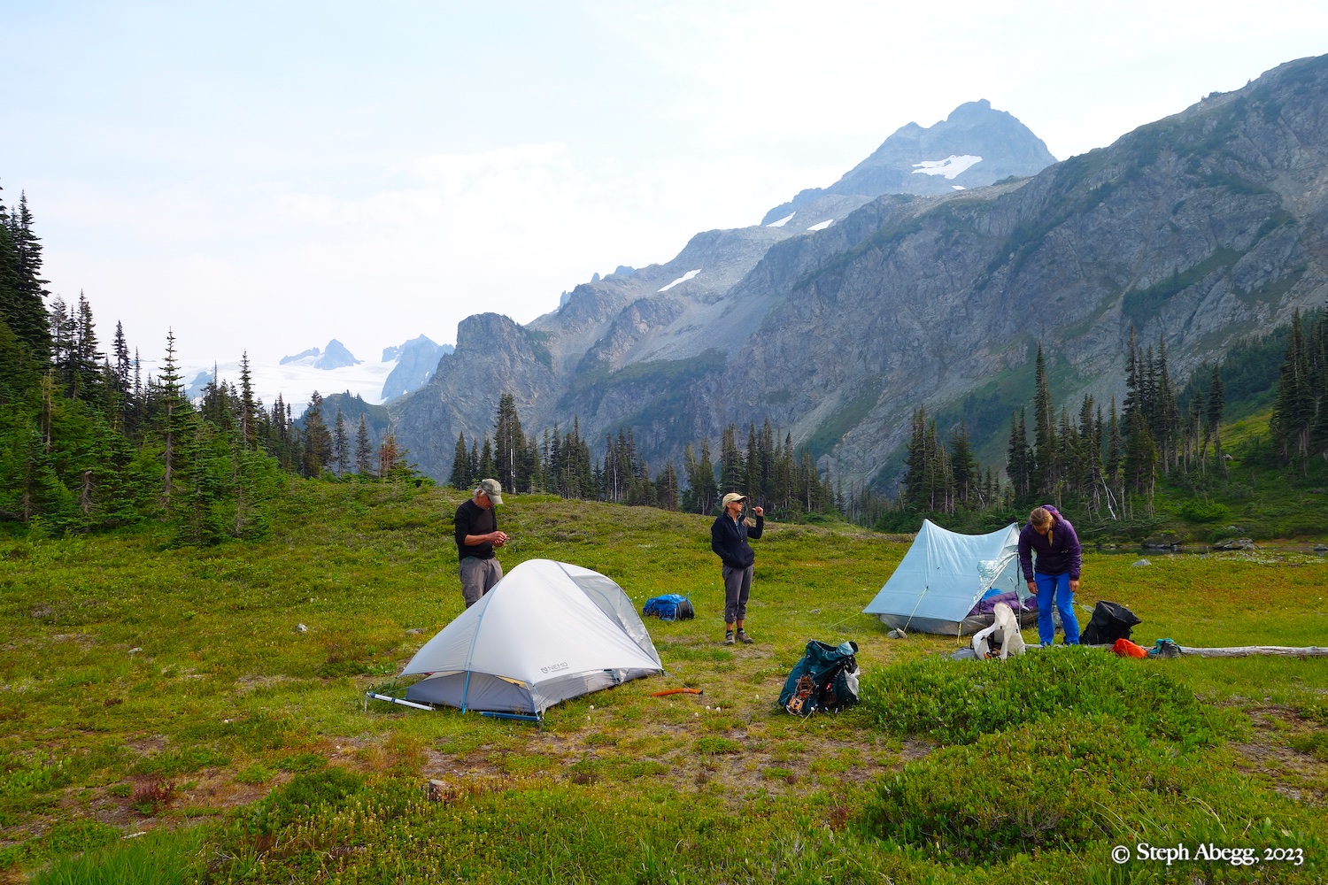
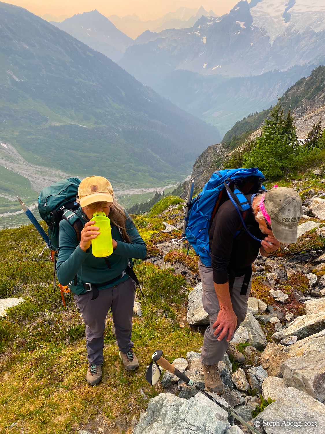
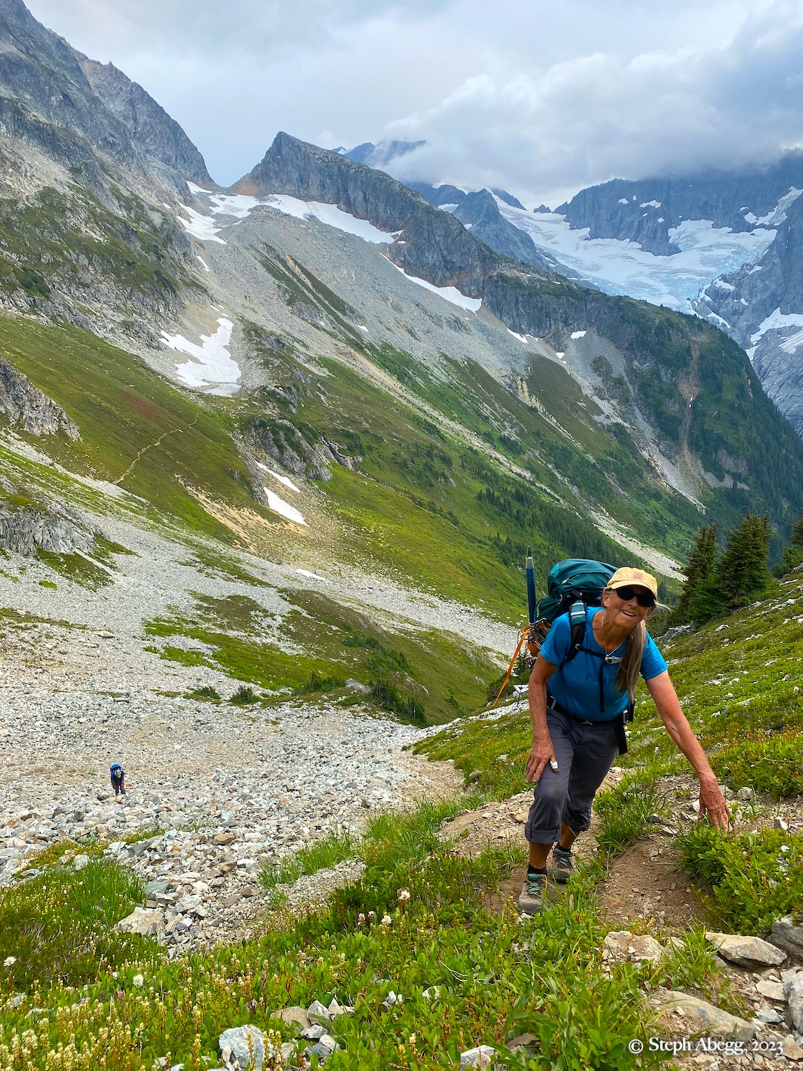
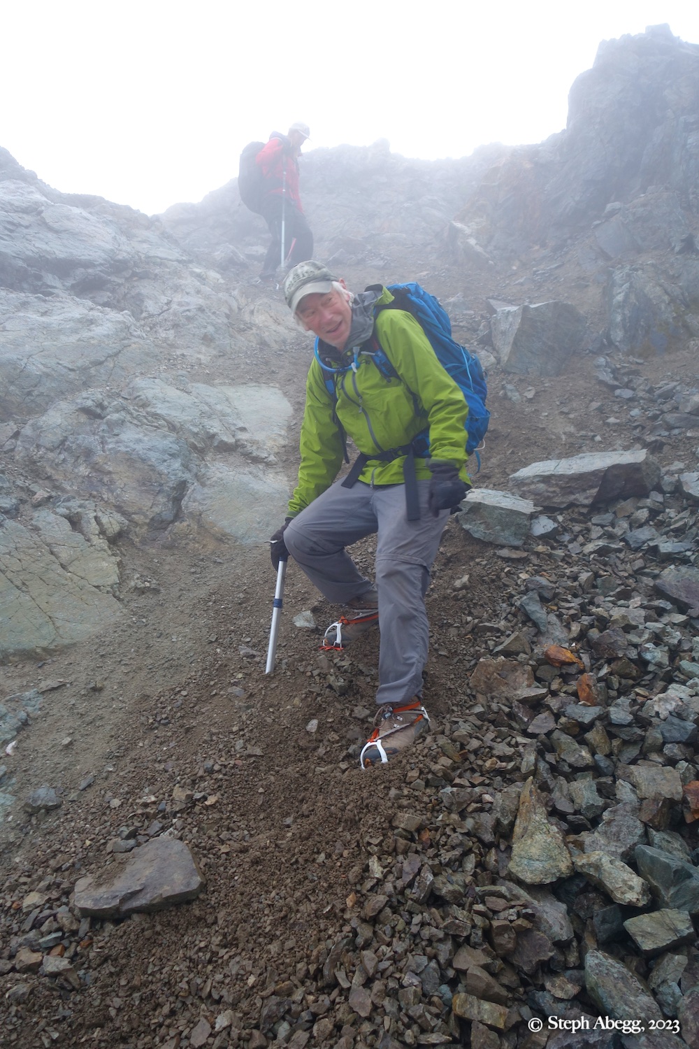
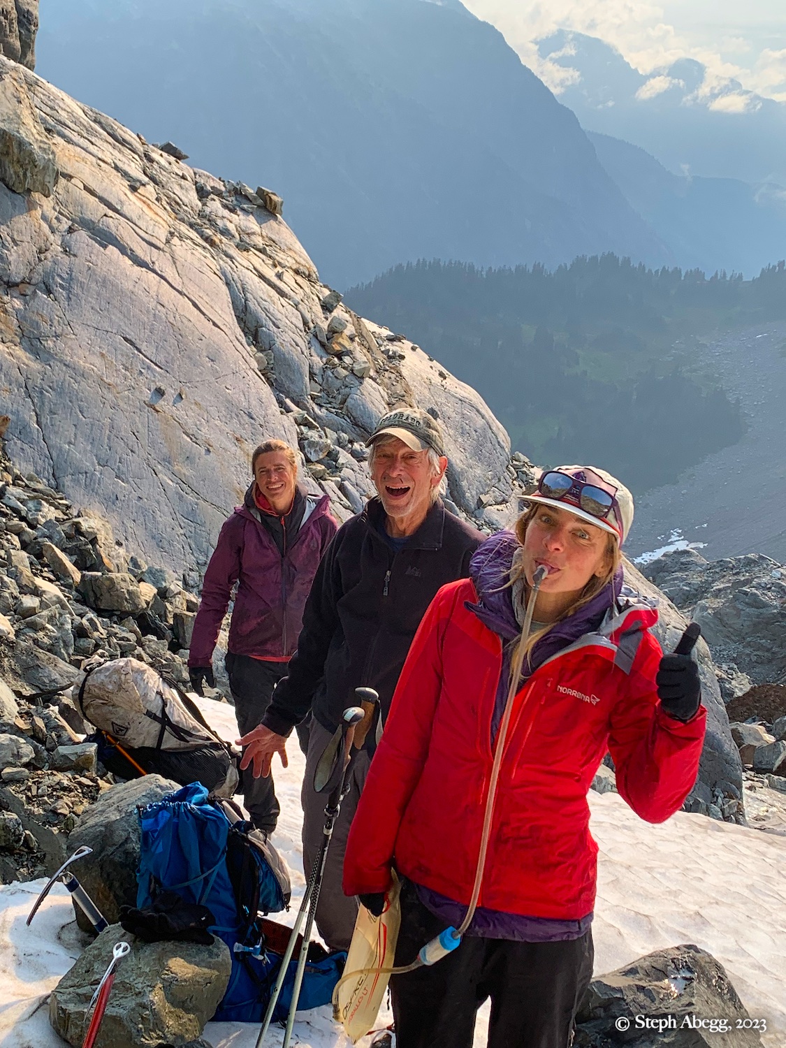
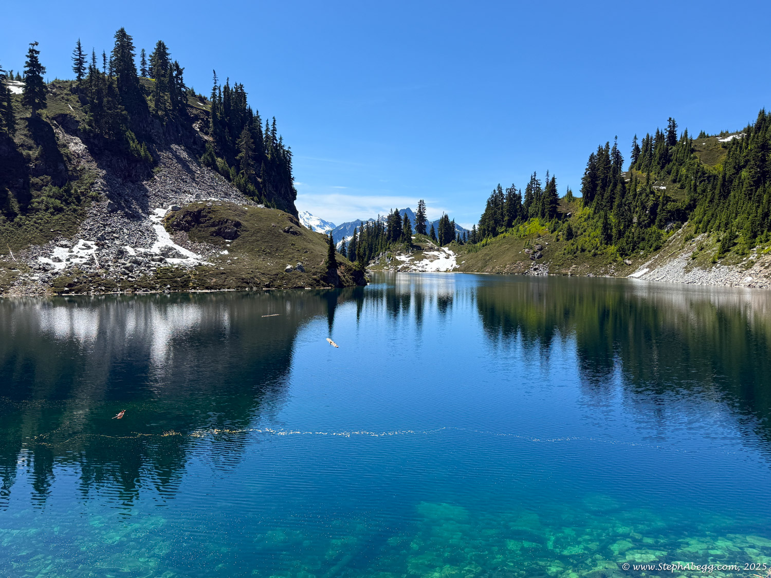
Over the years since our 2003 family trip, my parents often spoke of returning to White Rock Lakes, a spectacular basin nestled deep in the traverse. But as time passed, the prospect seemed less likely. By 2023, they were 73, and although they still yearned for the experience, the days of carrying heavy packs were behind them.
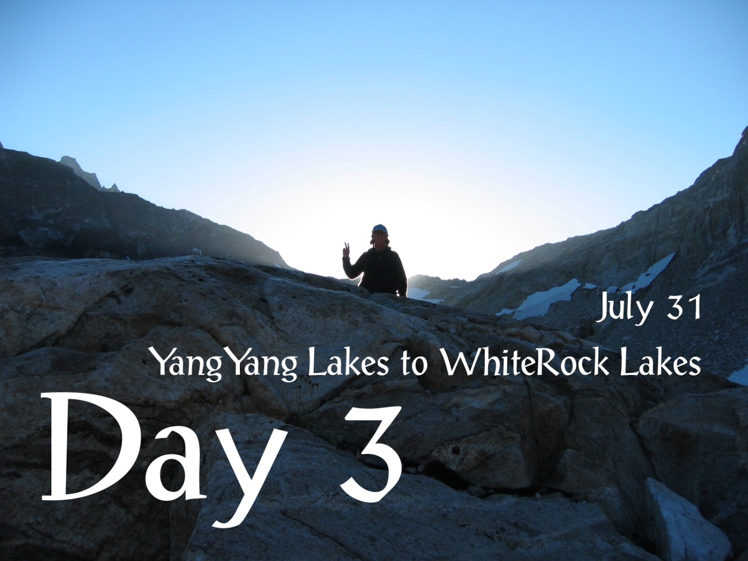
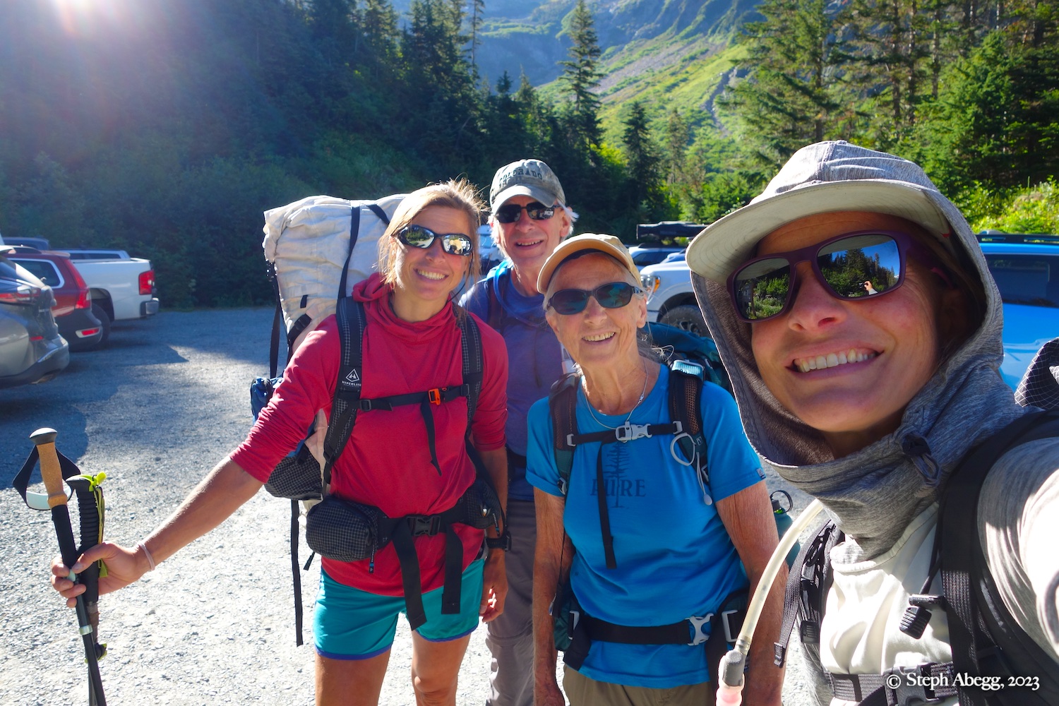
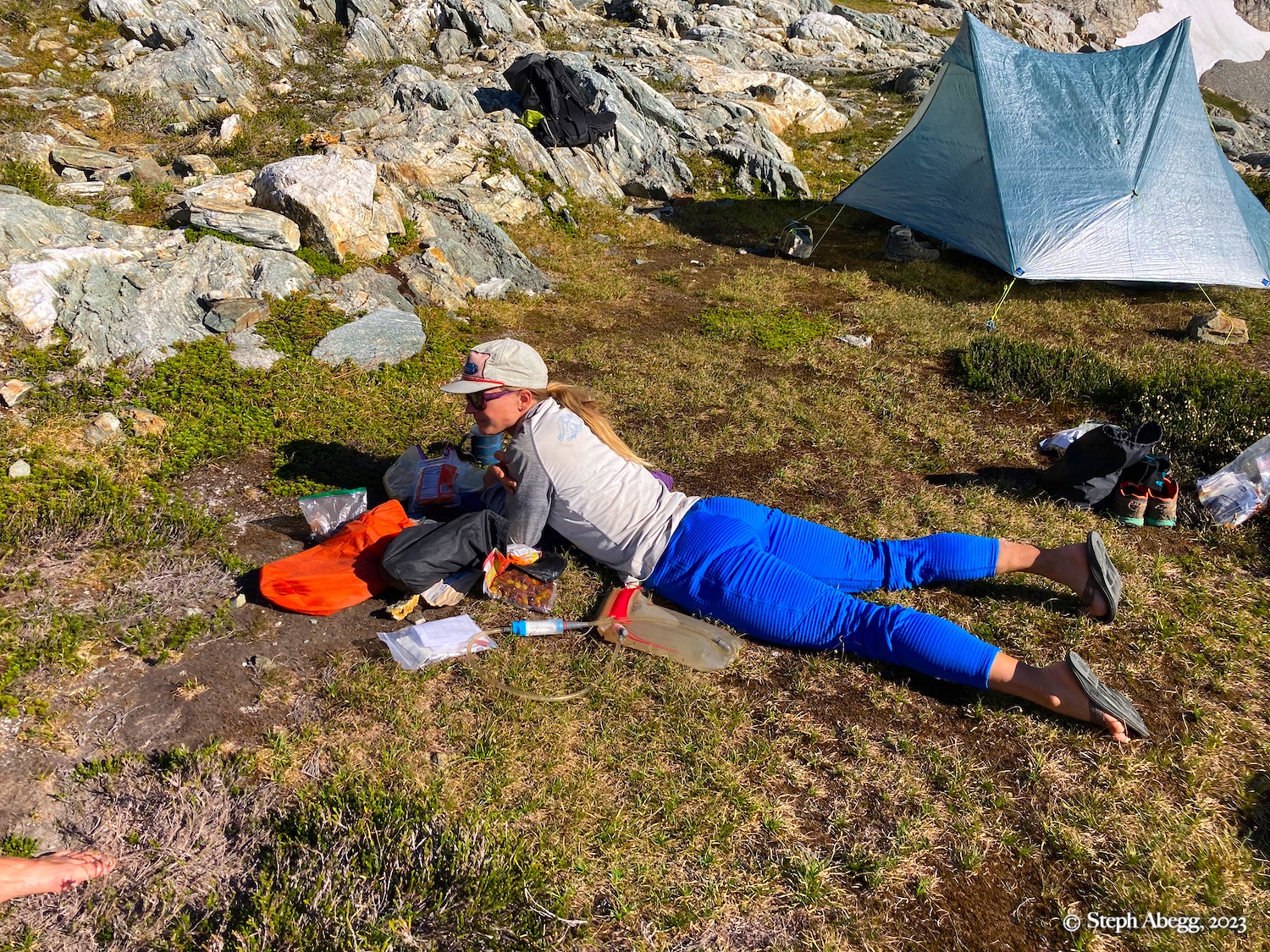
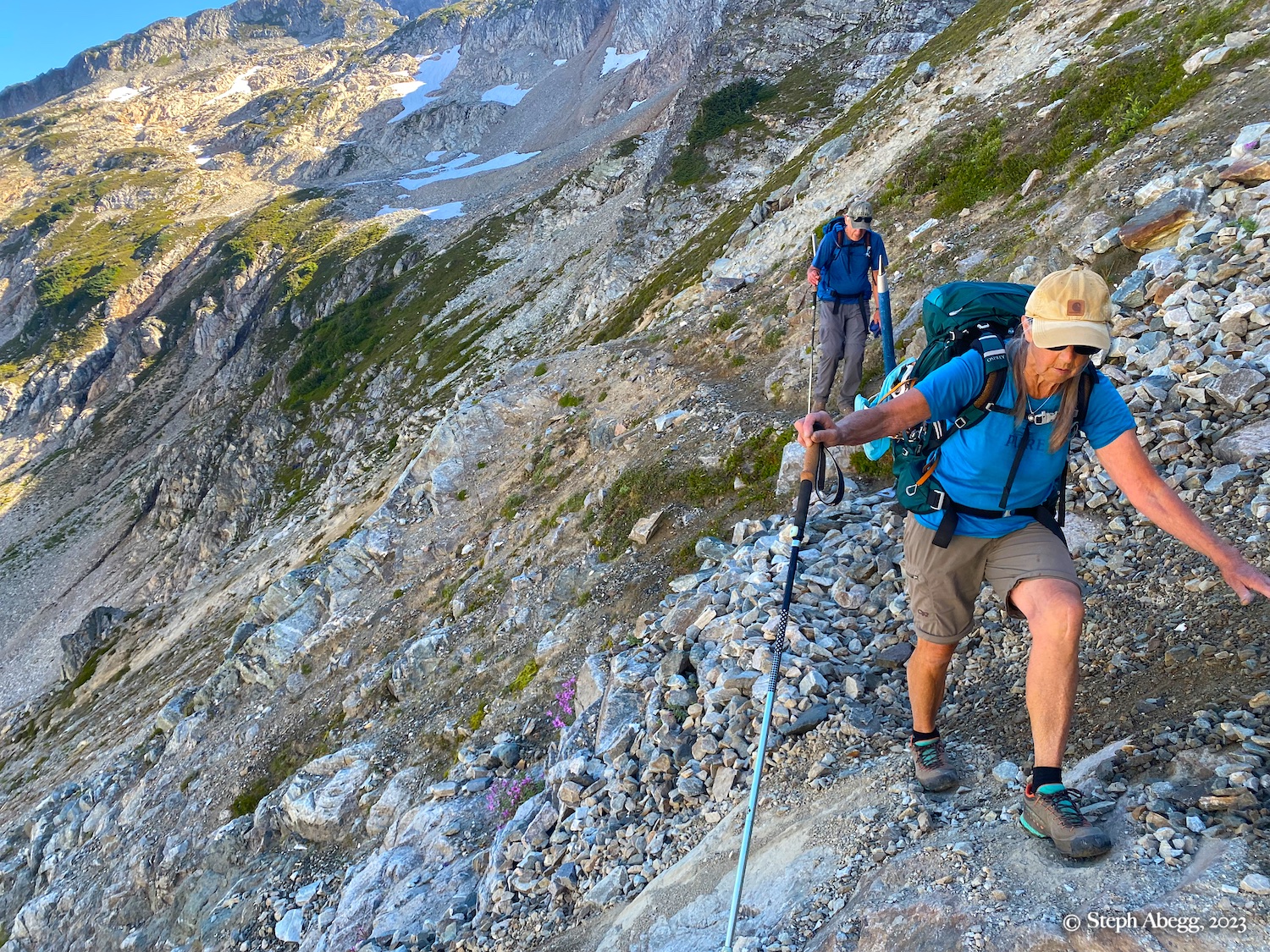
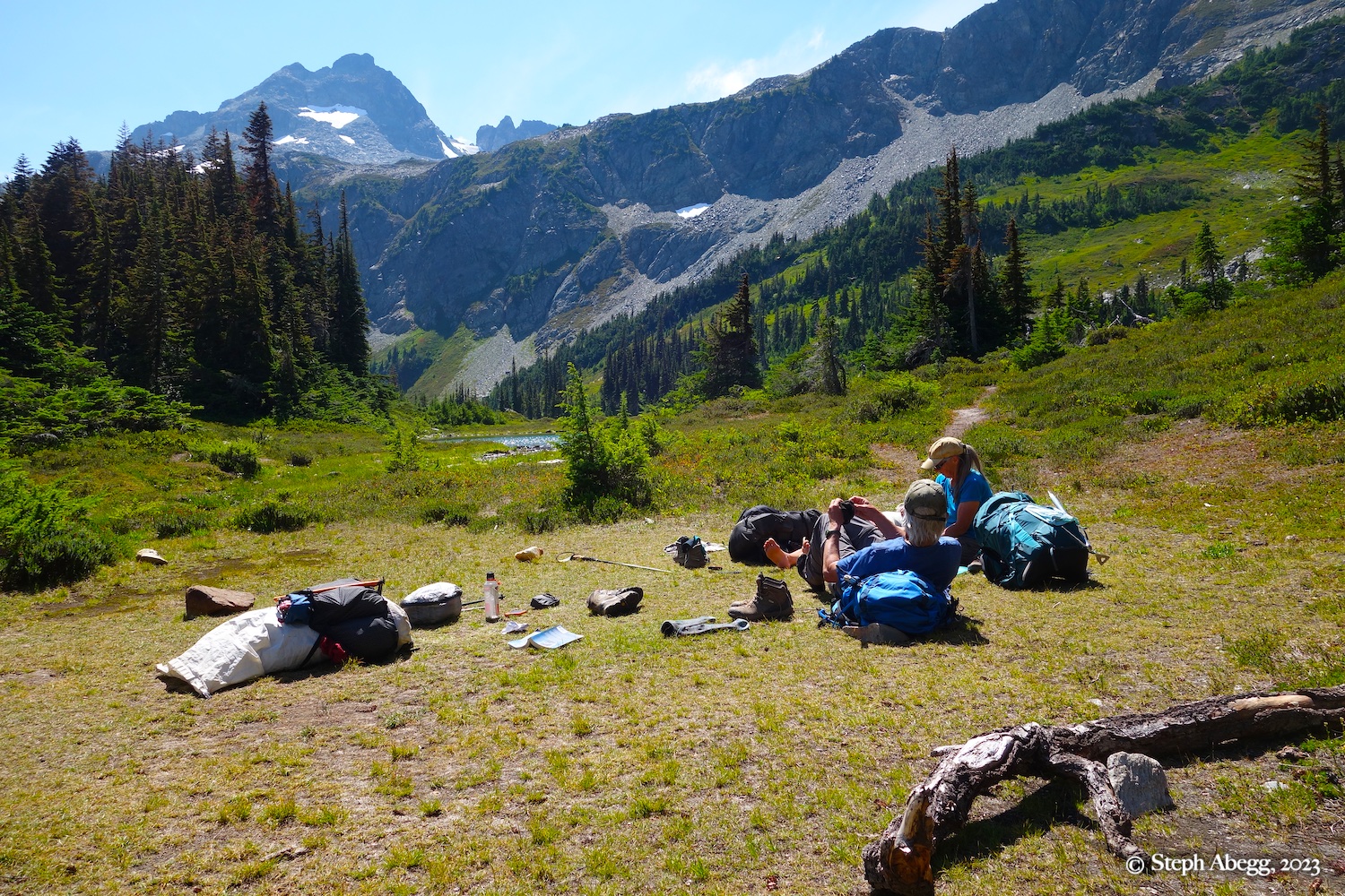
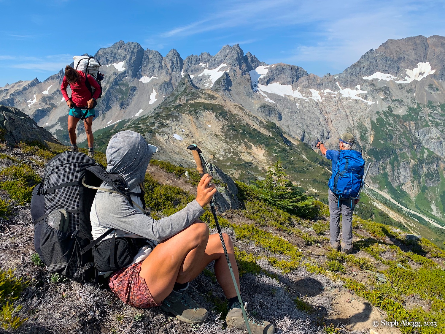
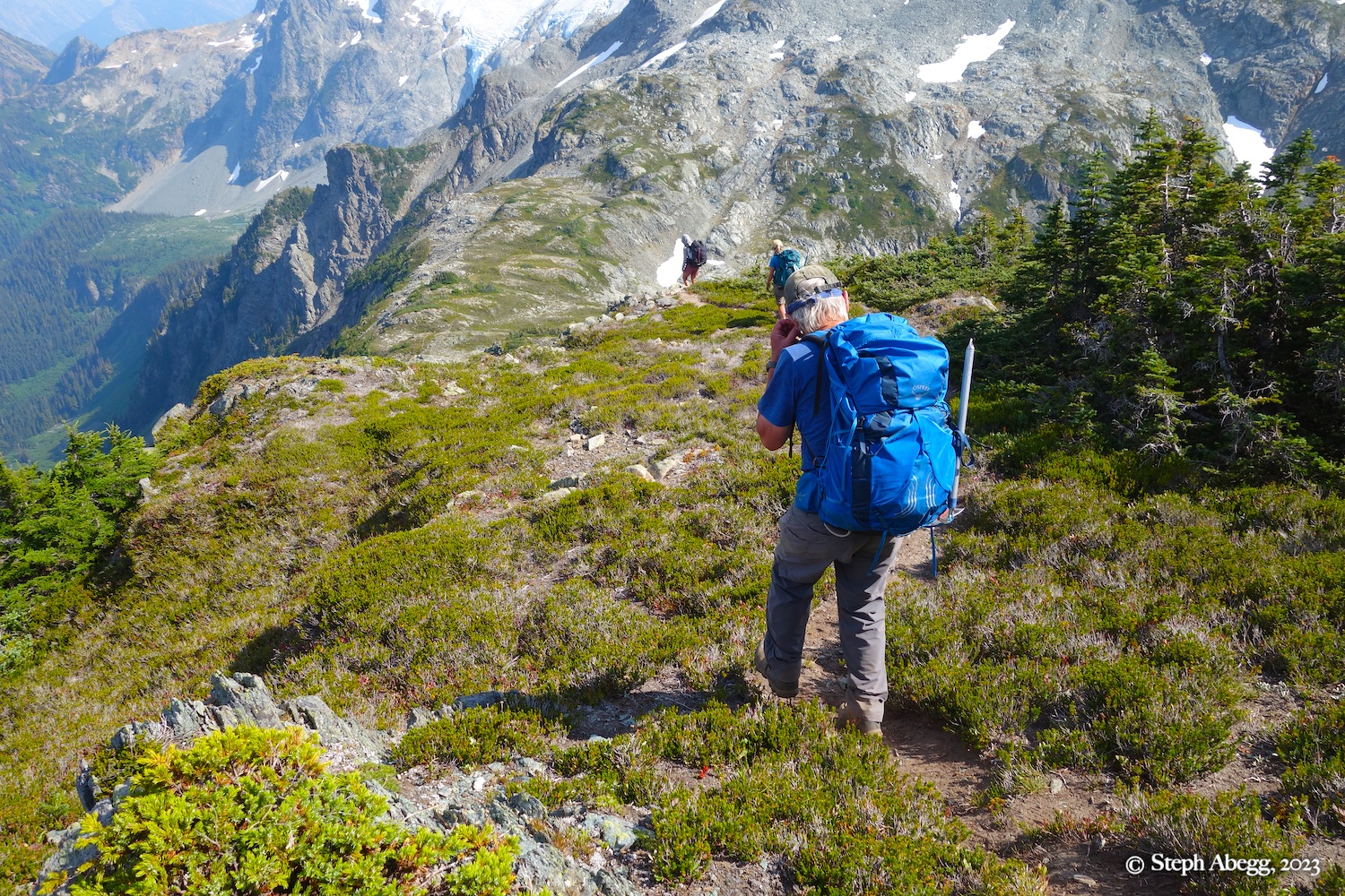
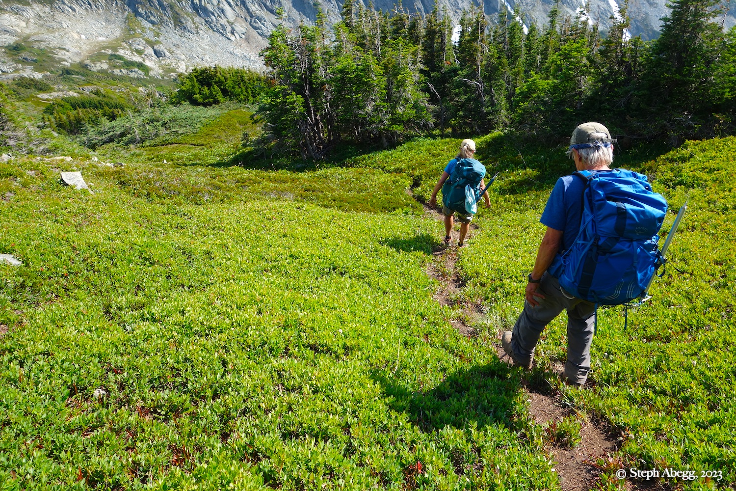
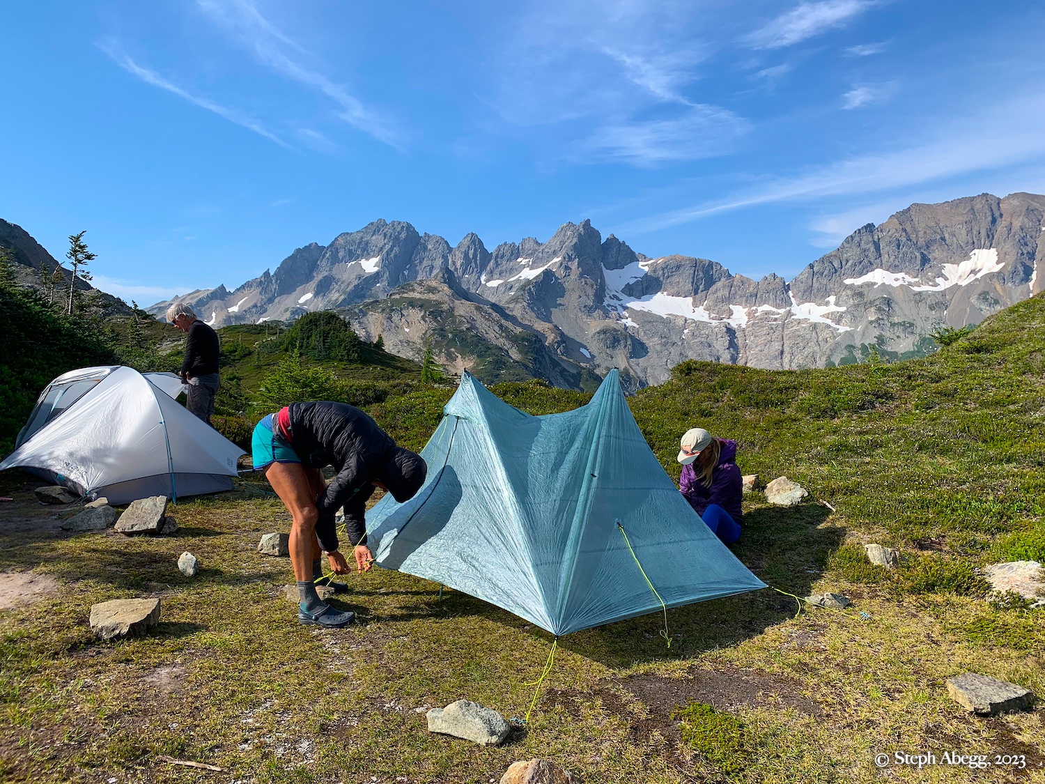
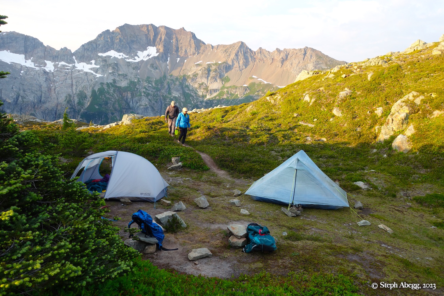
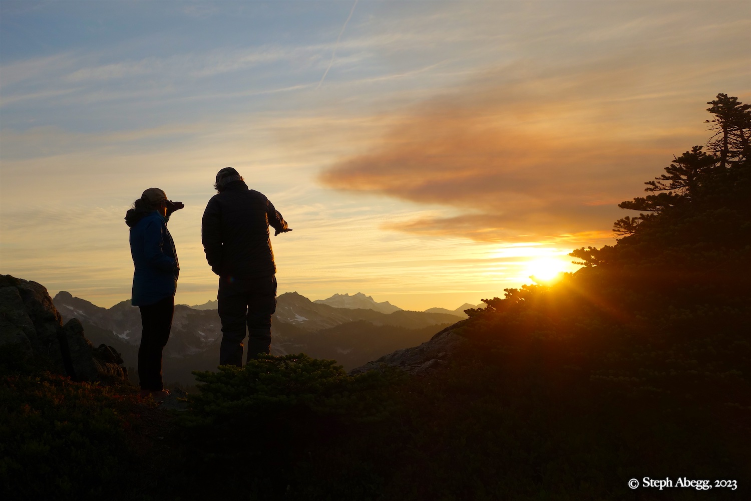
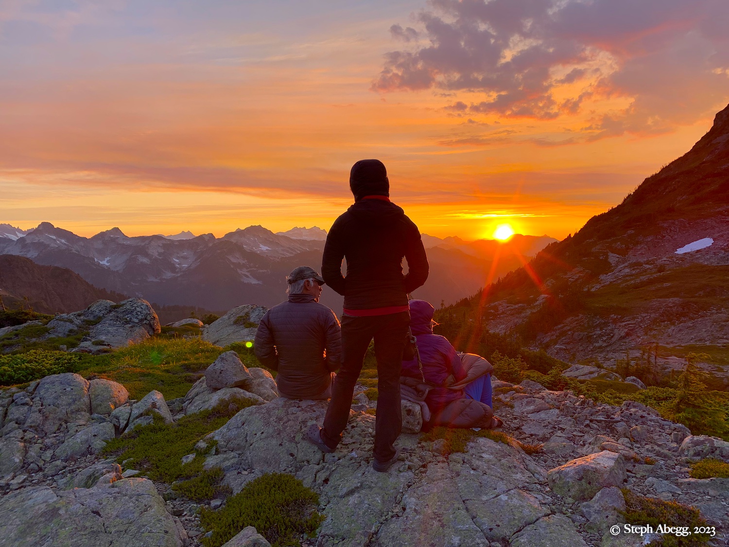
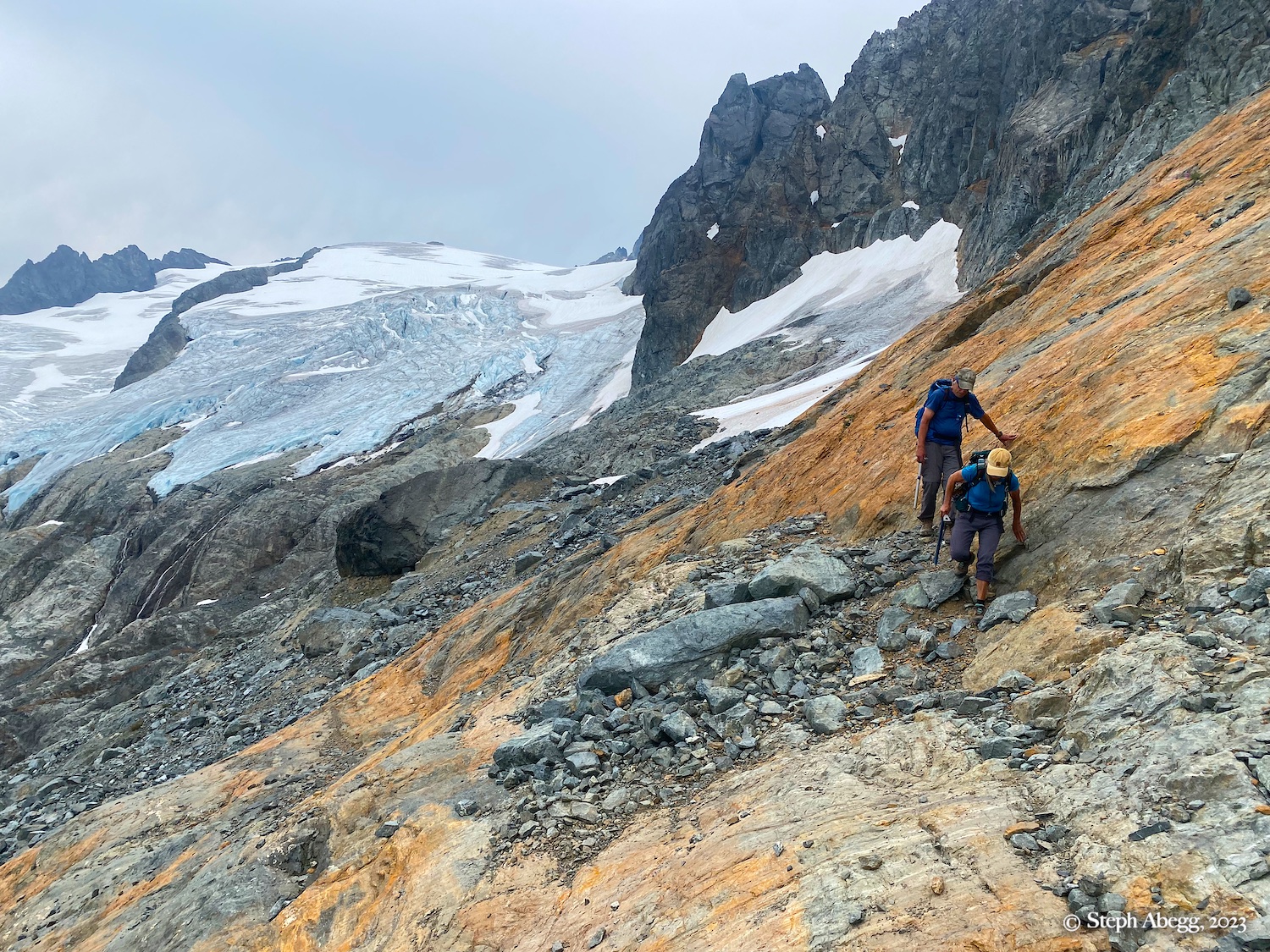
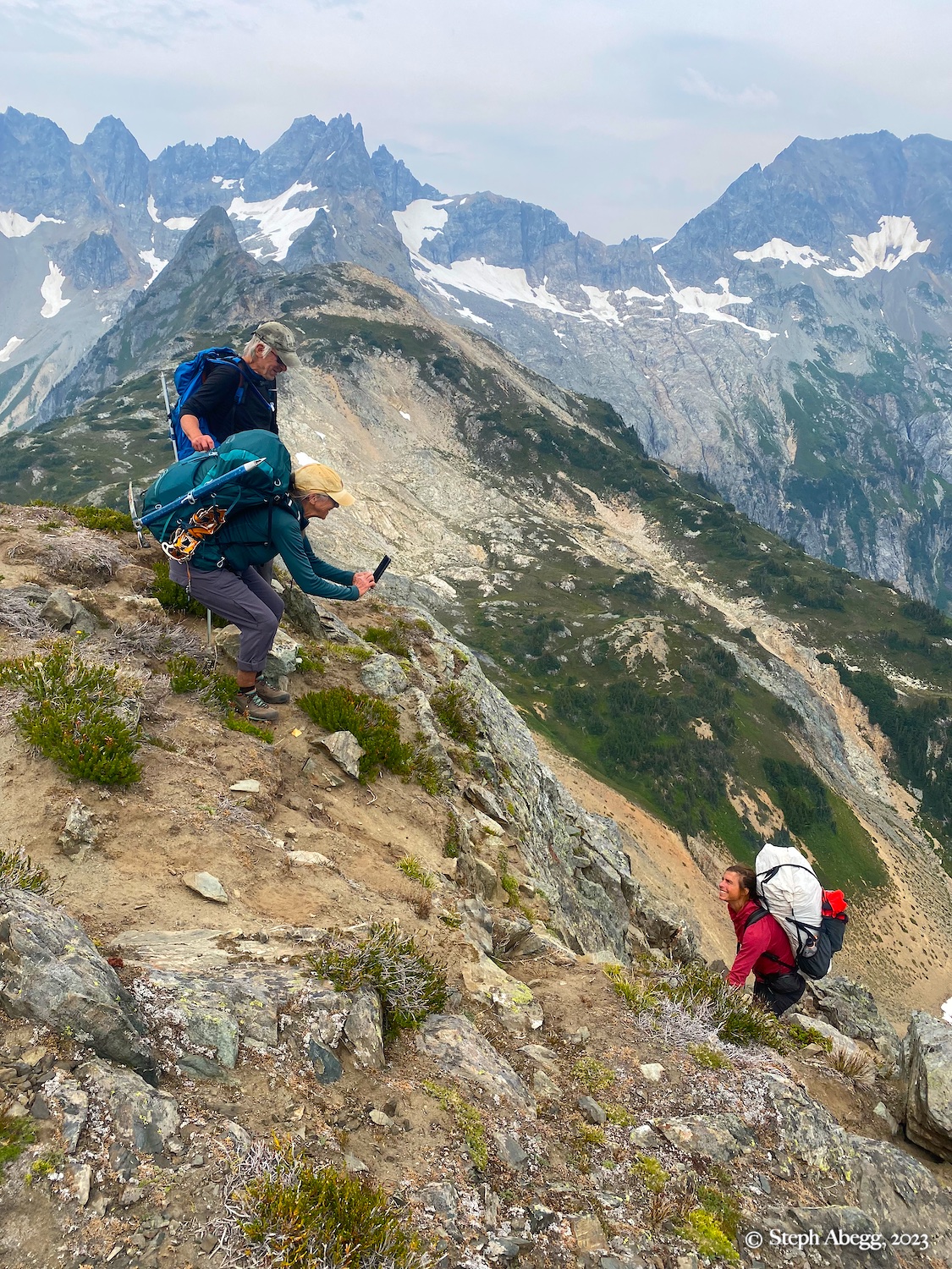
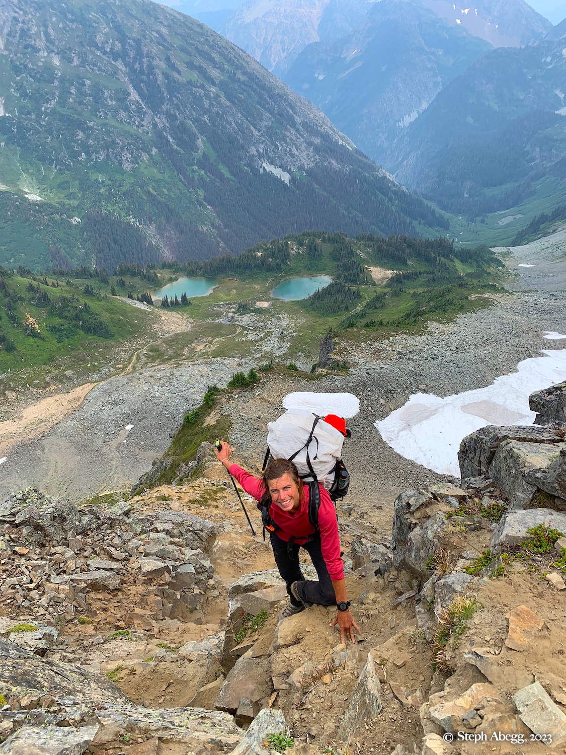
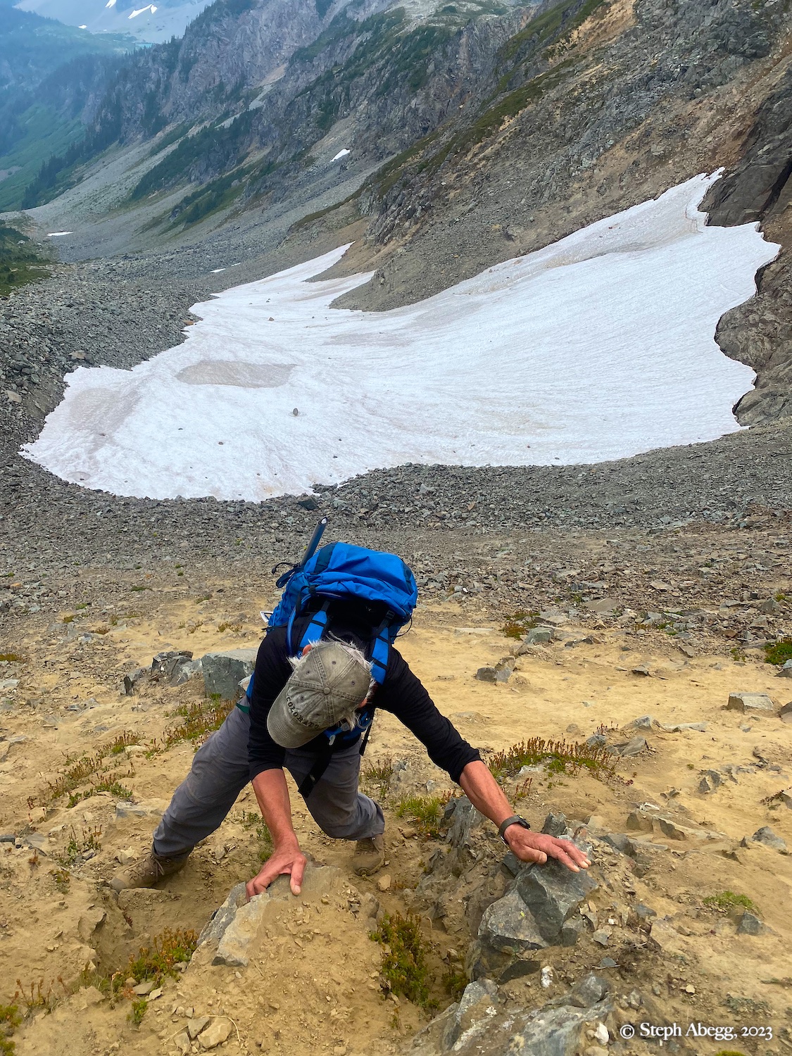
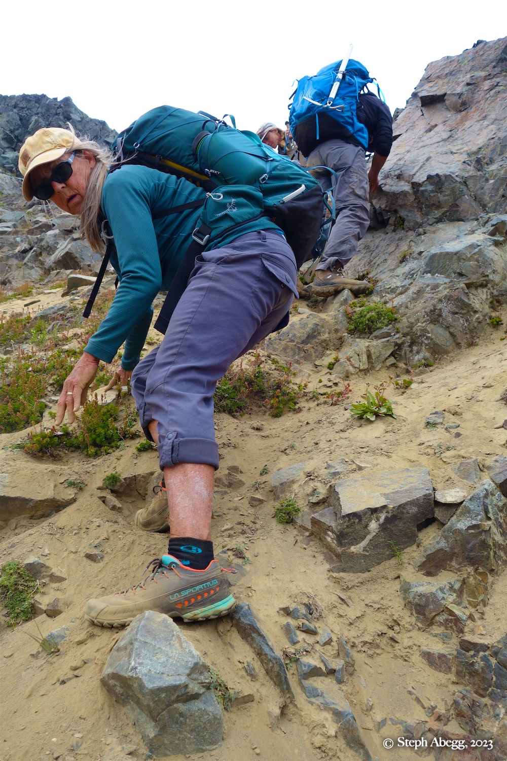
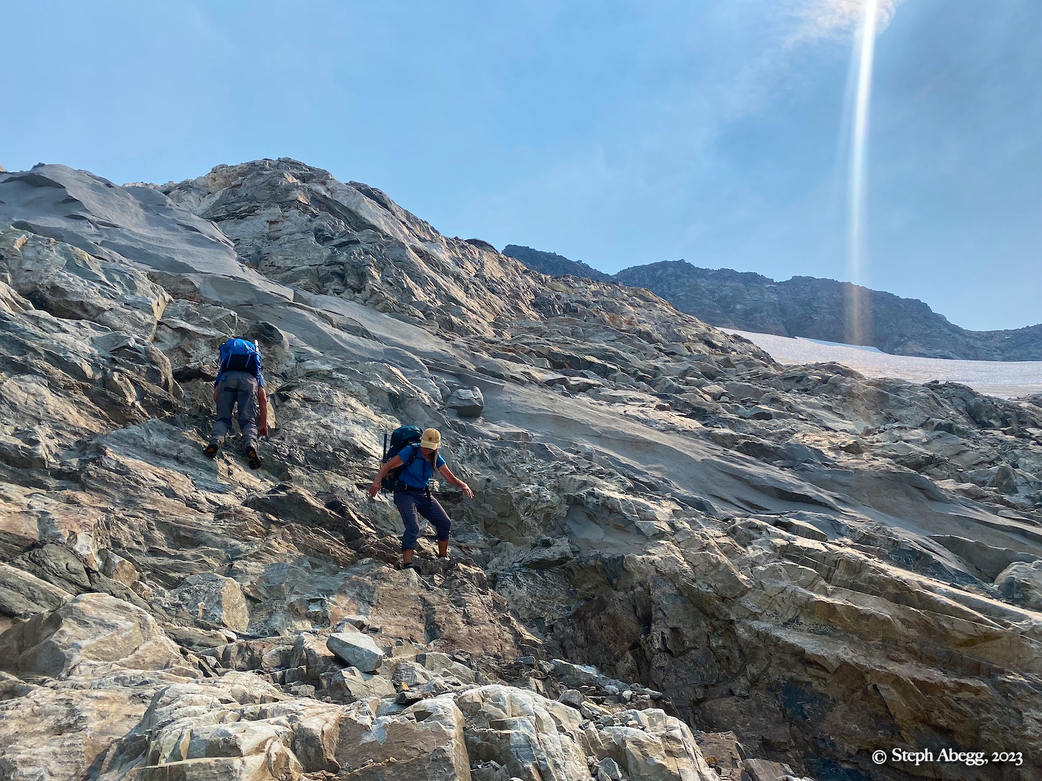
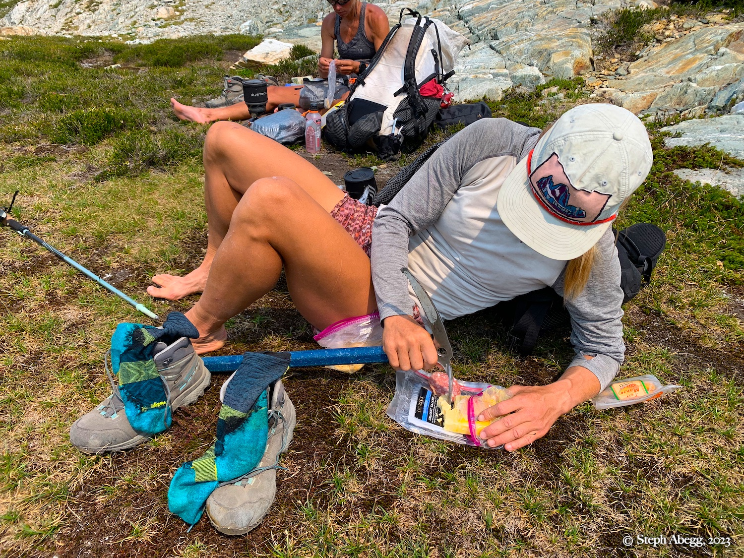
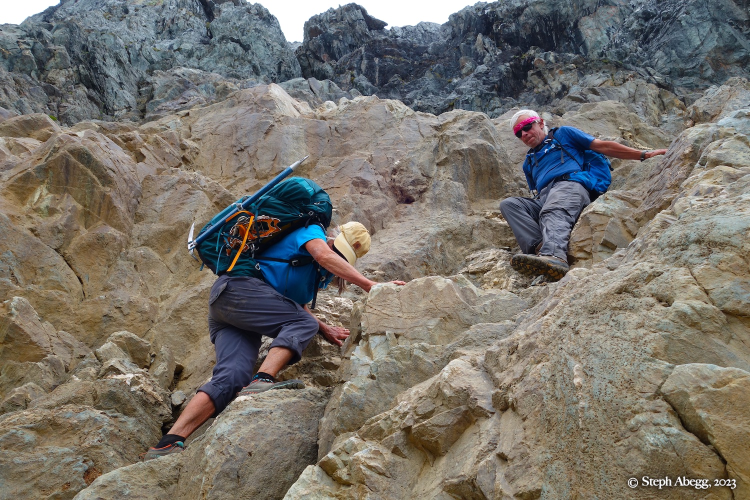
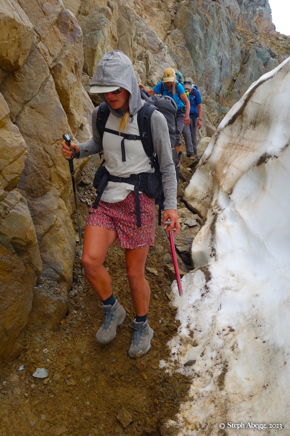
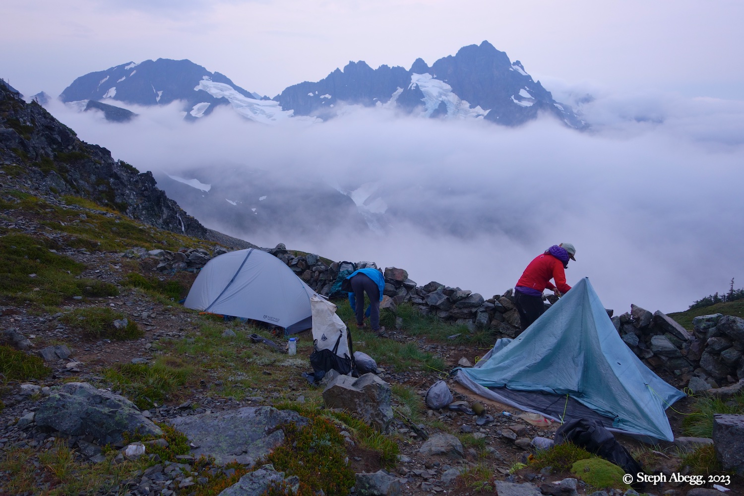
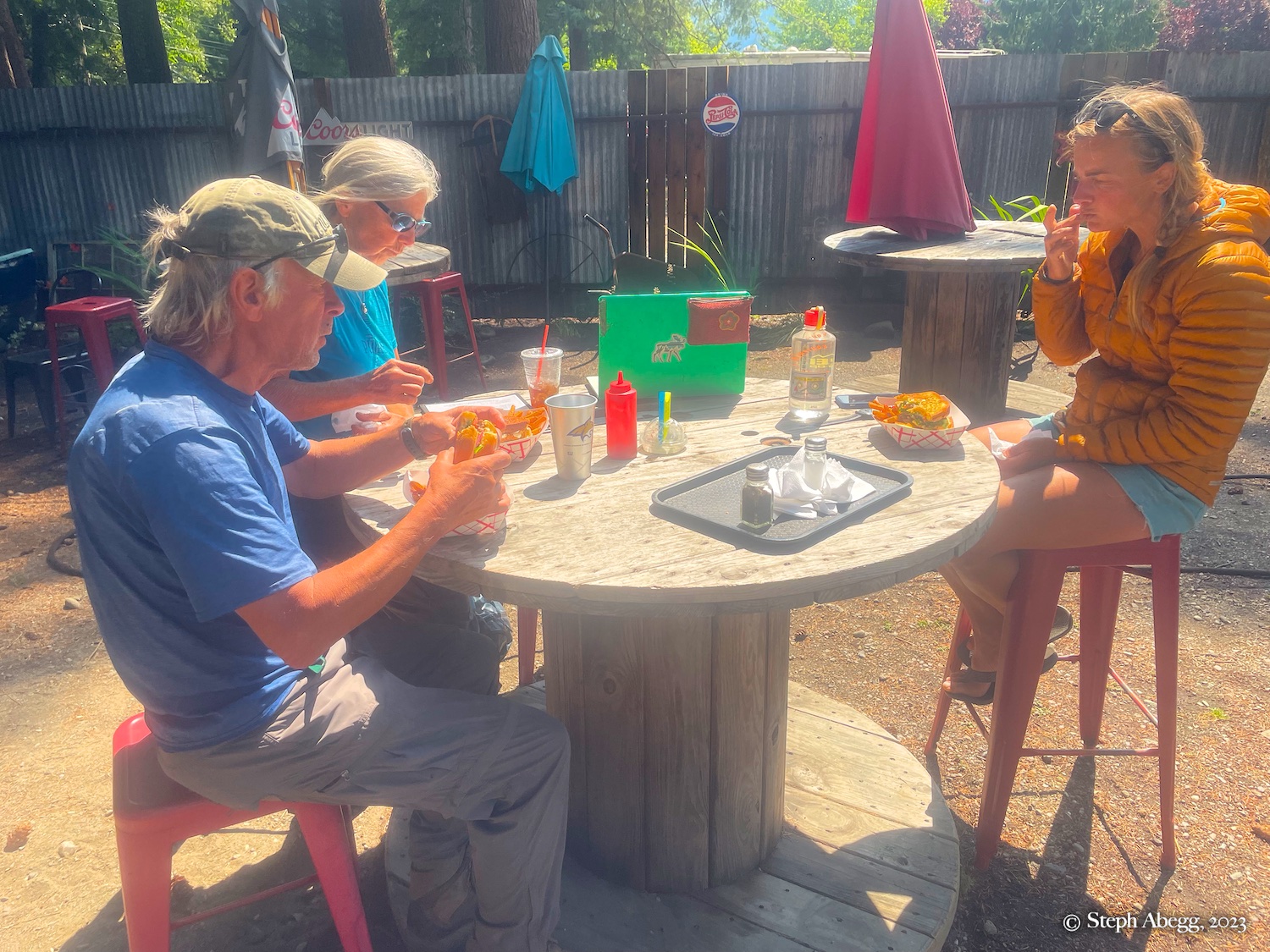
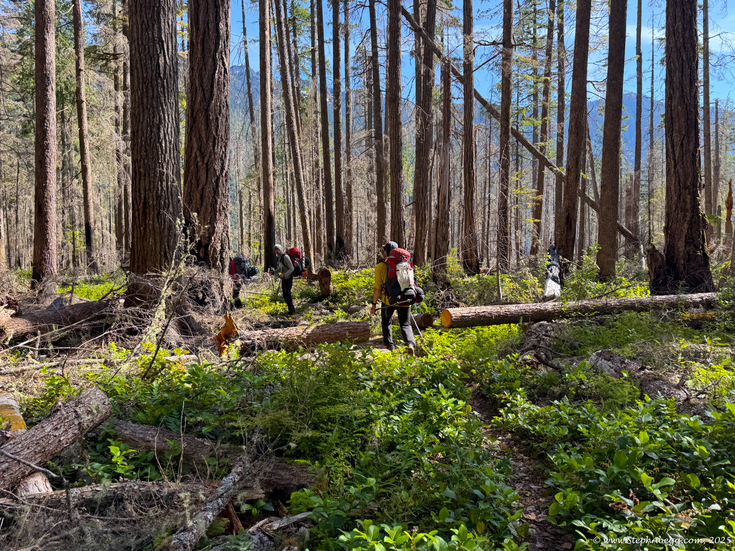
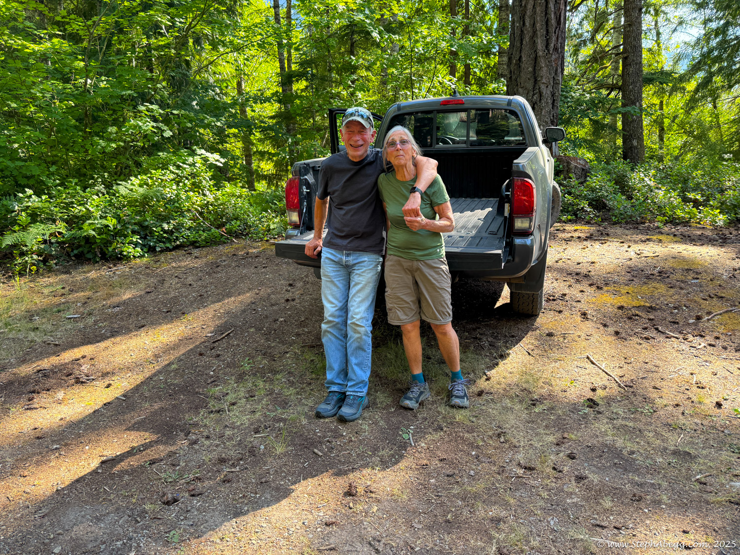
So Jenny and I came up with a plan: we would do a five-day in-and-out backpacking trip on the northern half of the Ptarmigan Traverse, carrying the overnight gear while our
clients parents hiked with lightweight daypacks. It would be the first time the four of us had been together since
Christmas 2018 in Sedona.
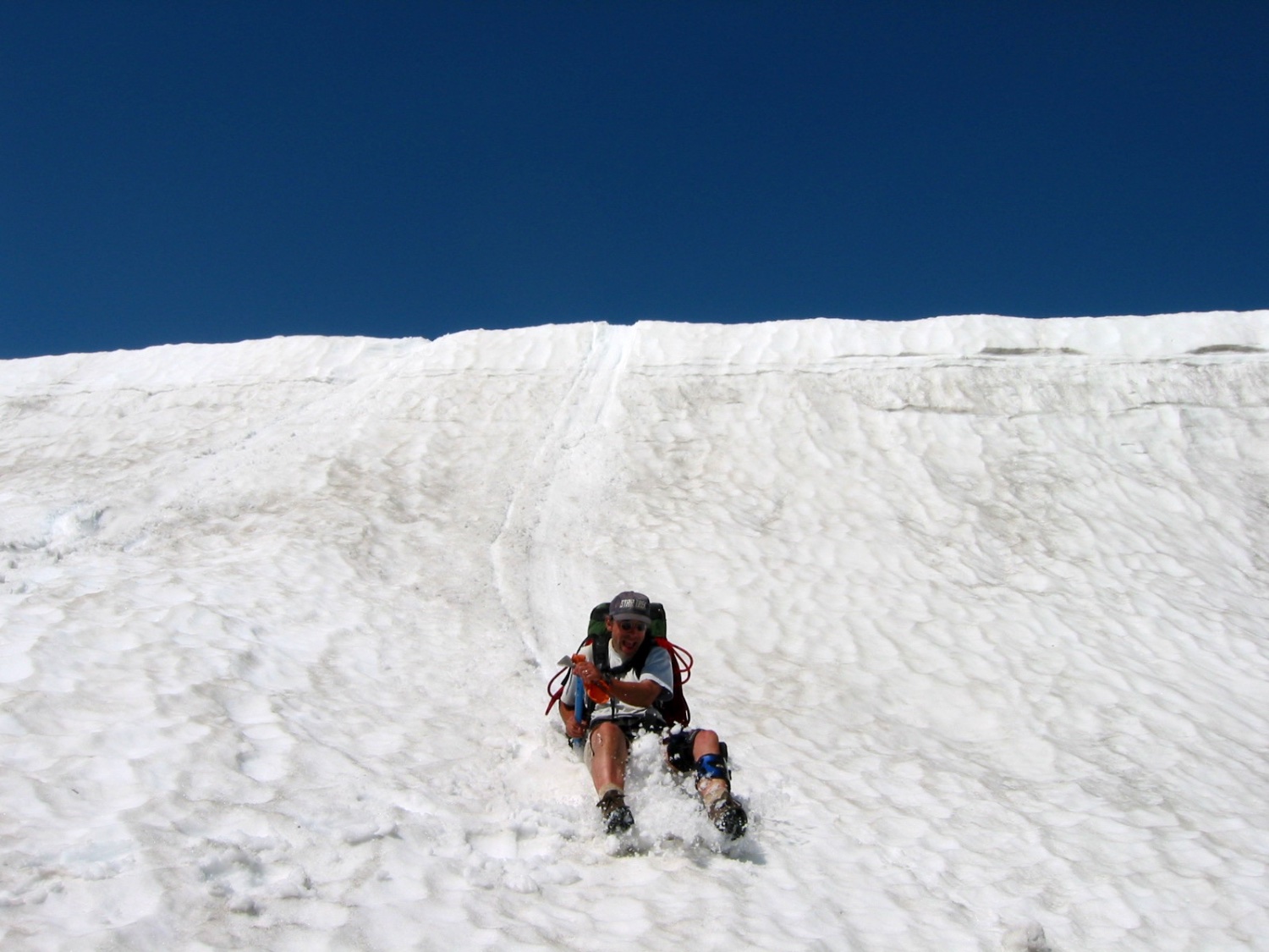
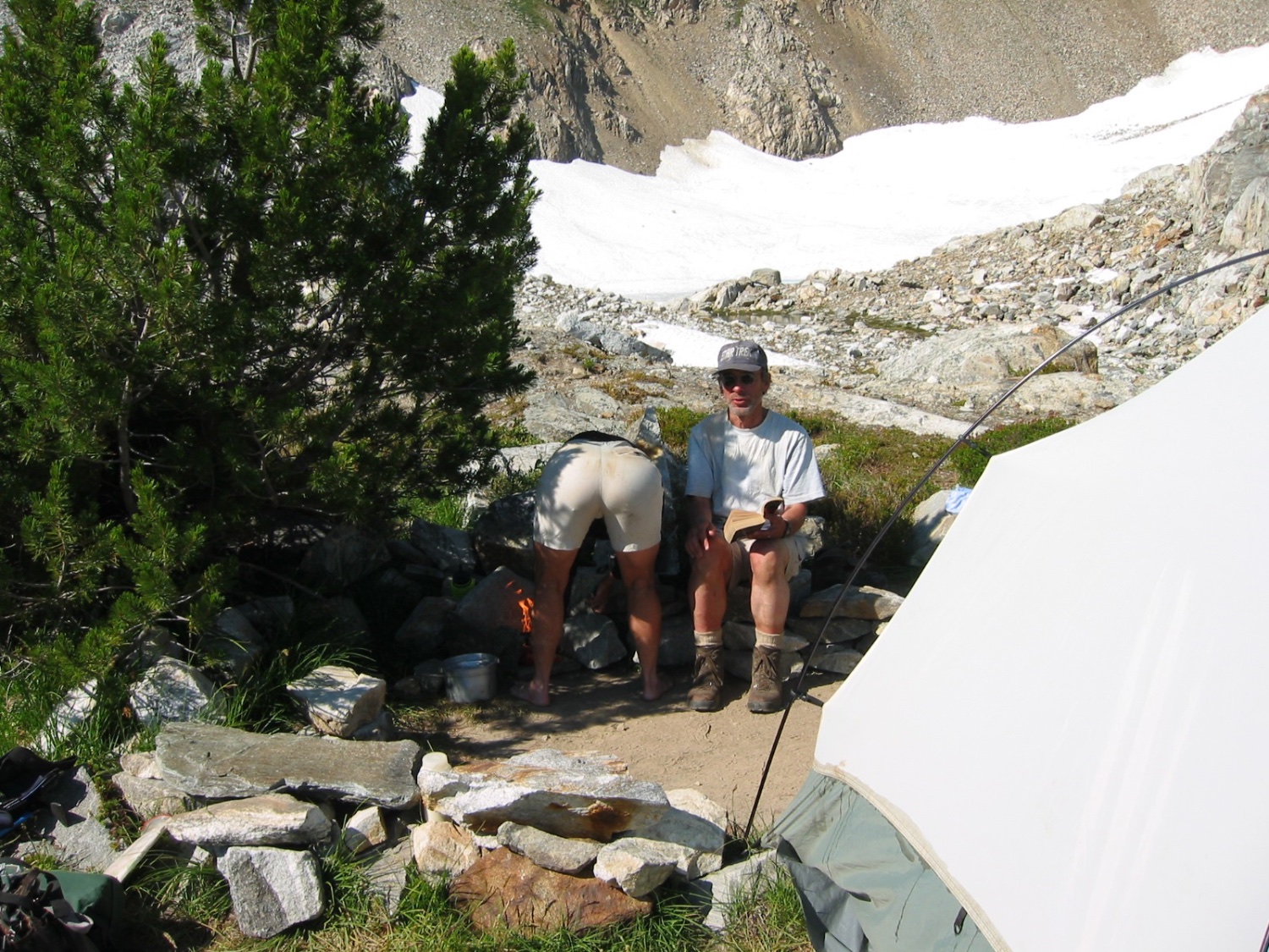
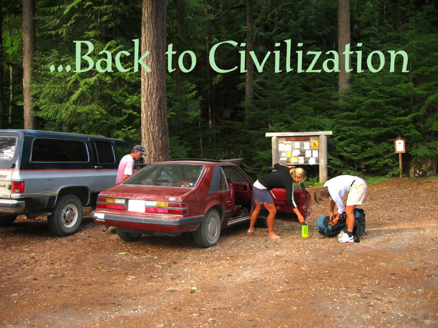
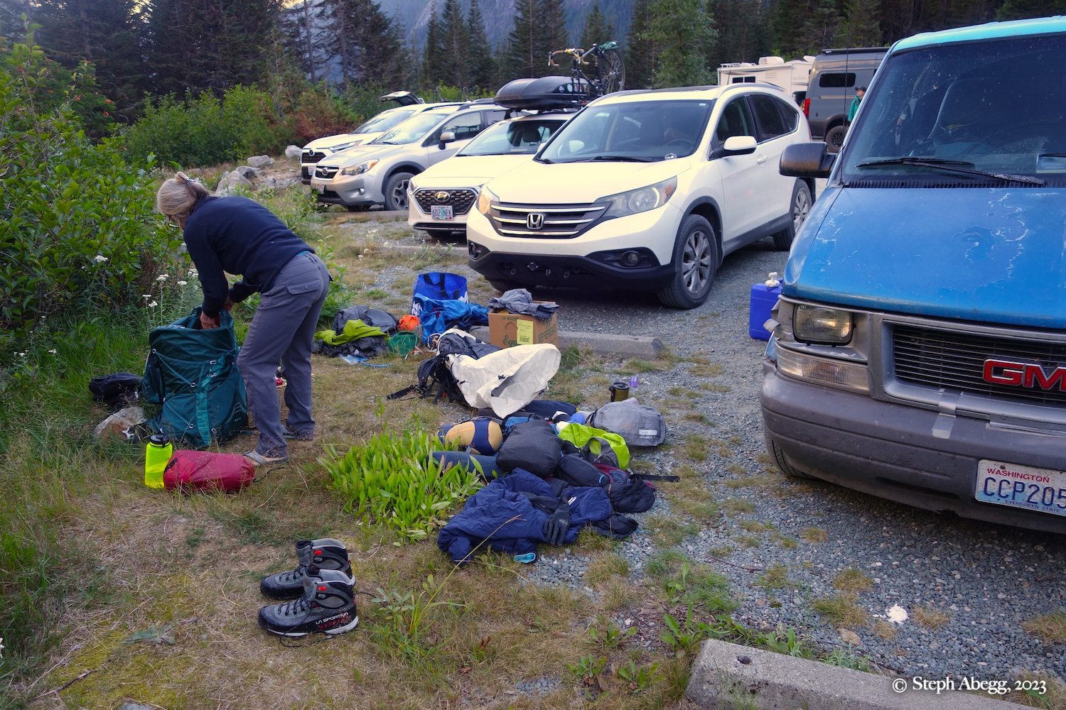
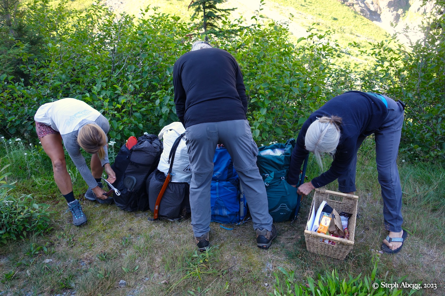
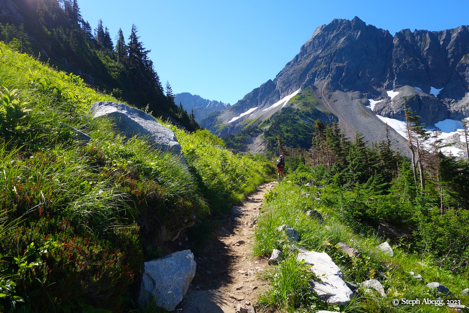
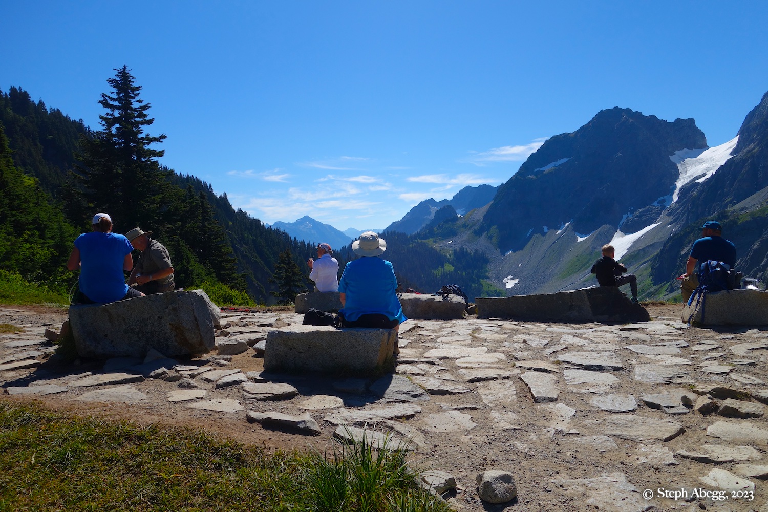
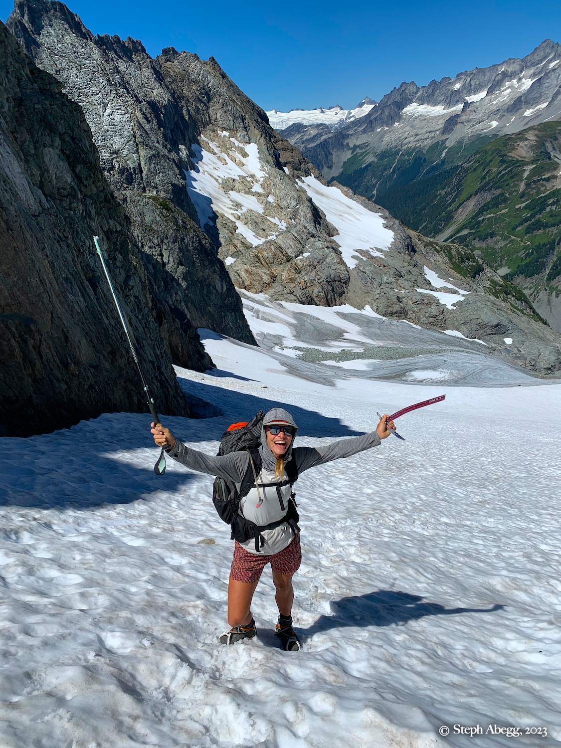
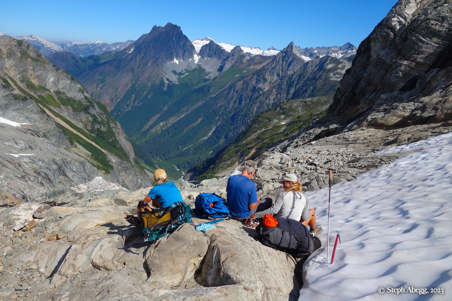
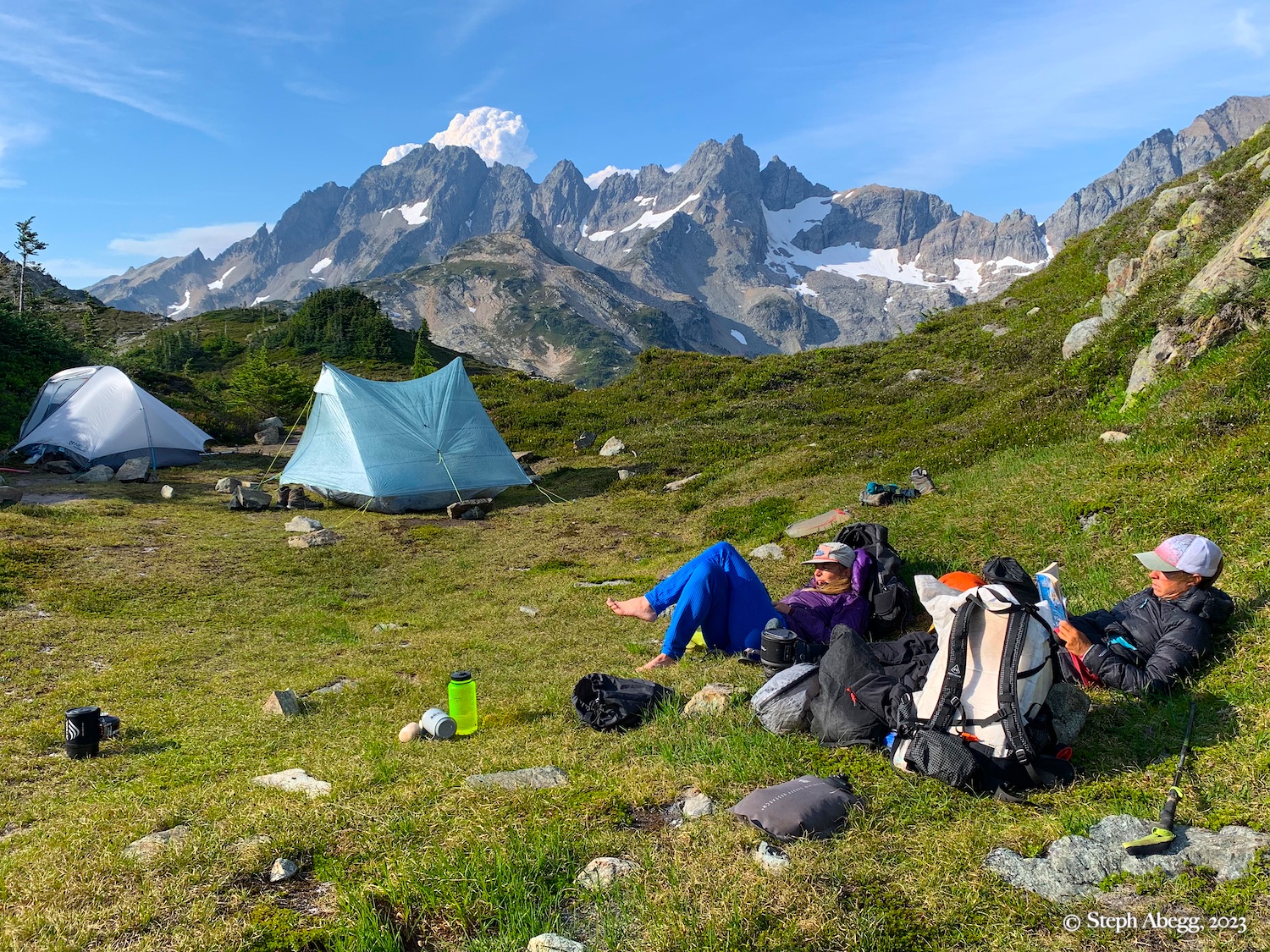
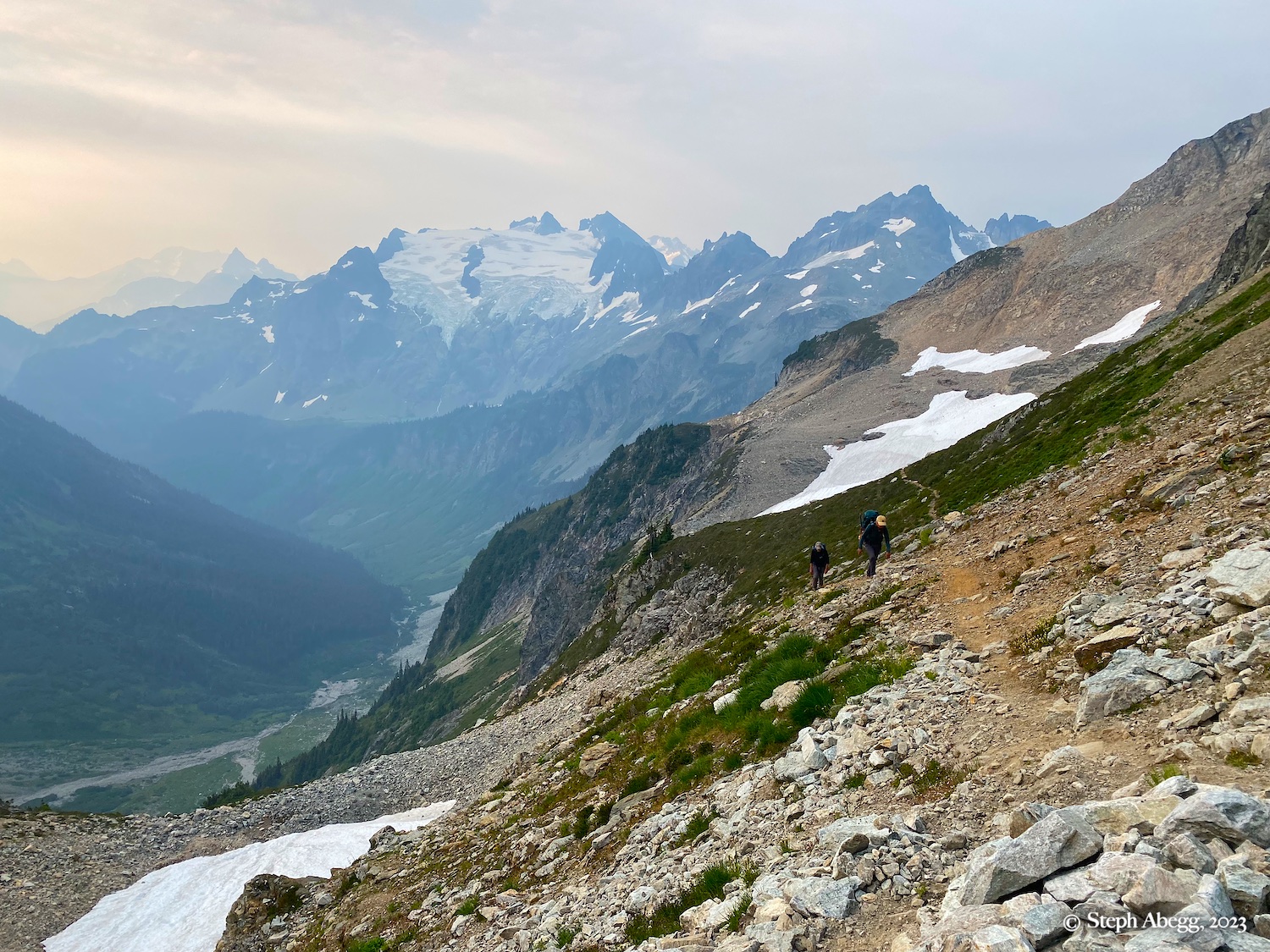
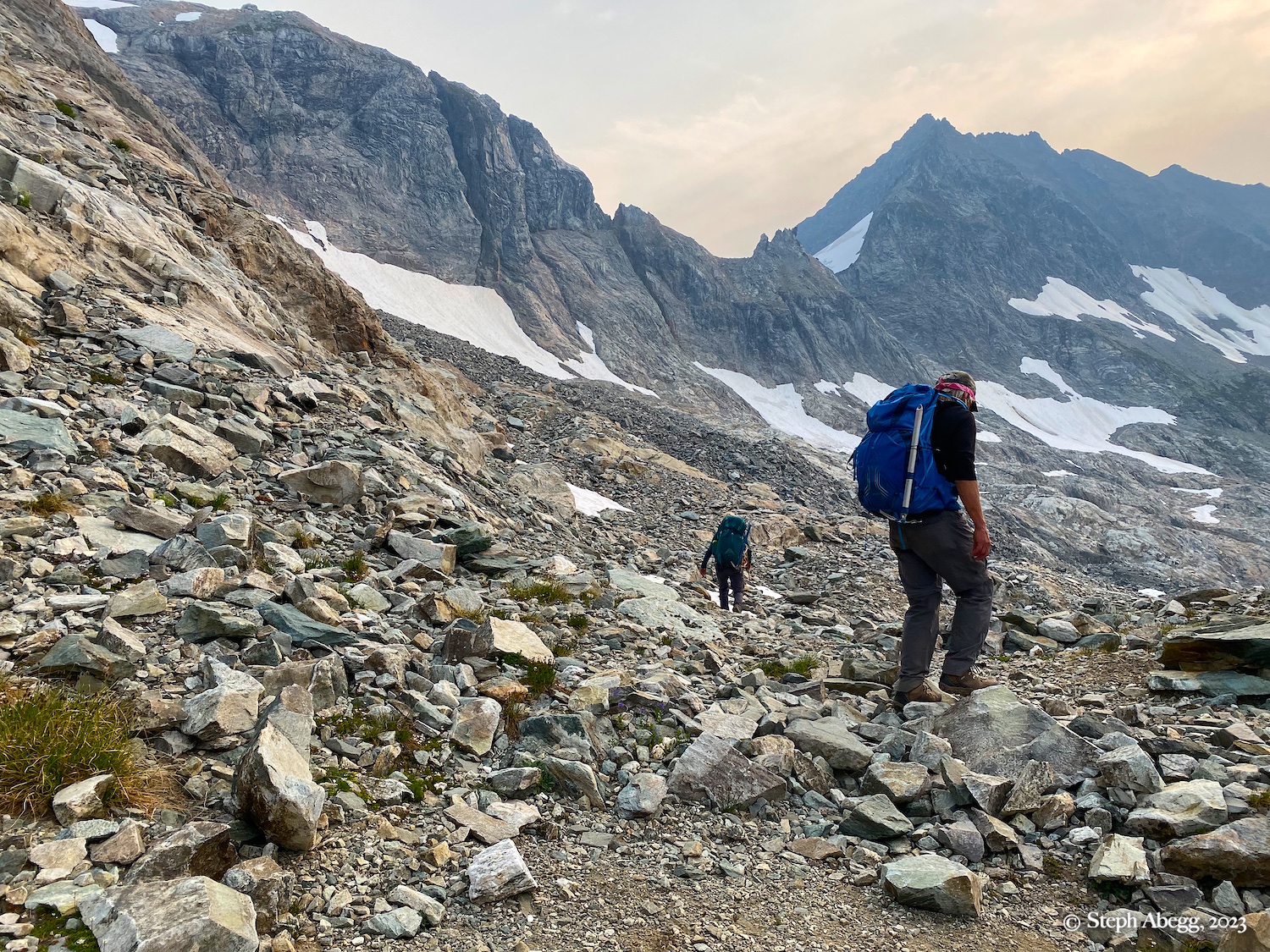
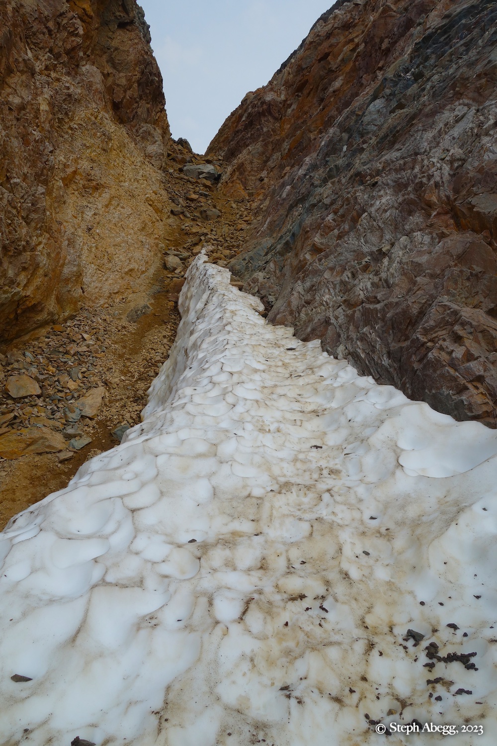
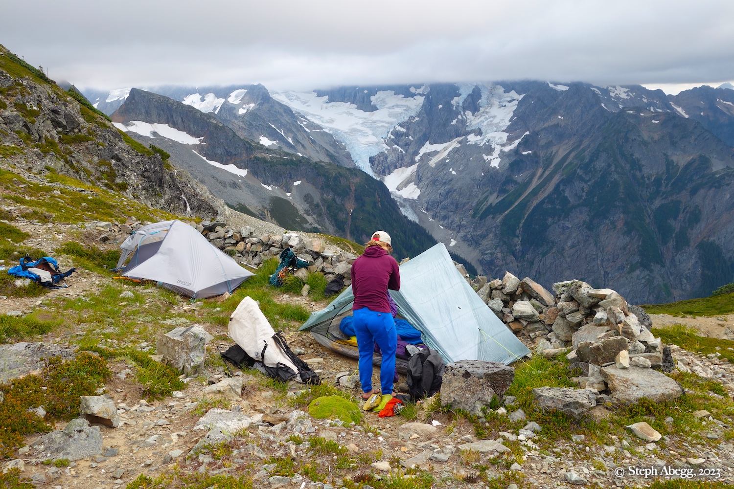
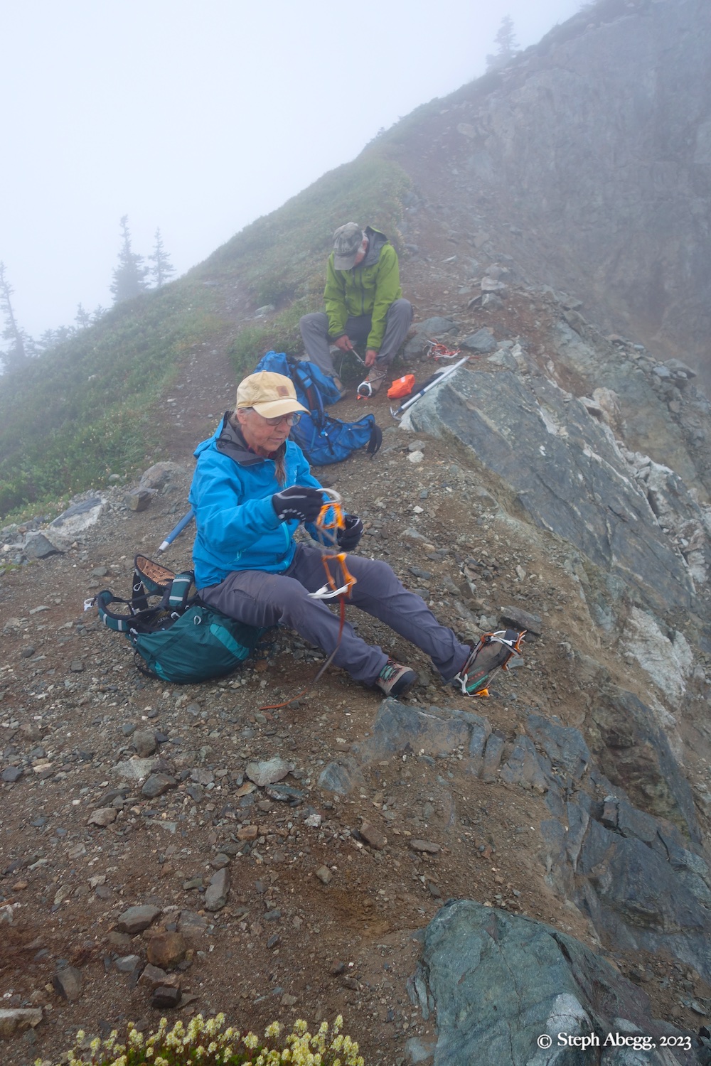
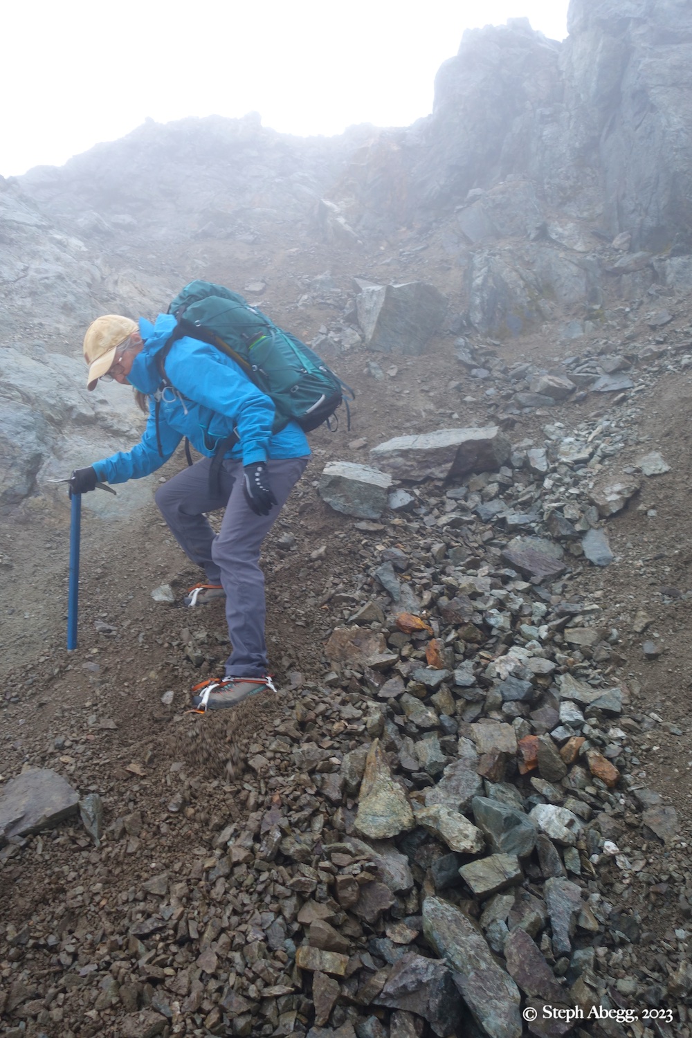
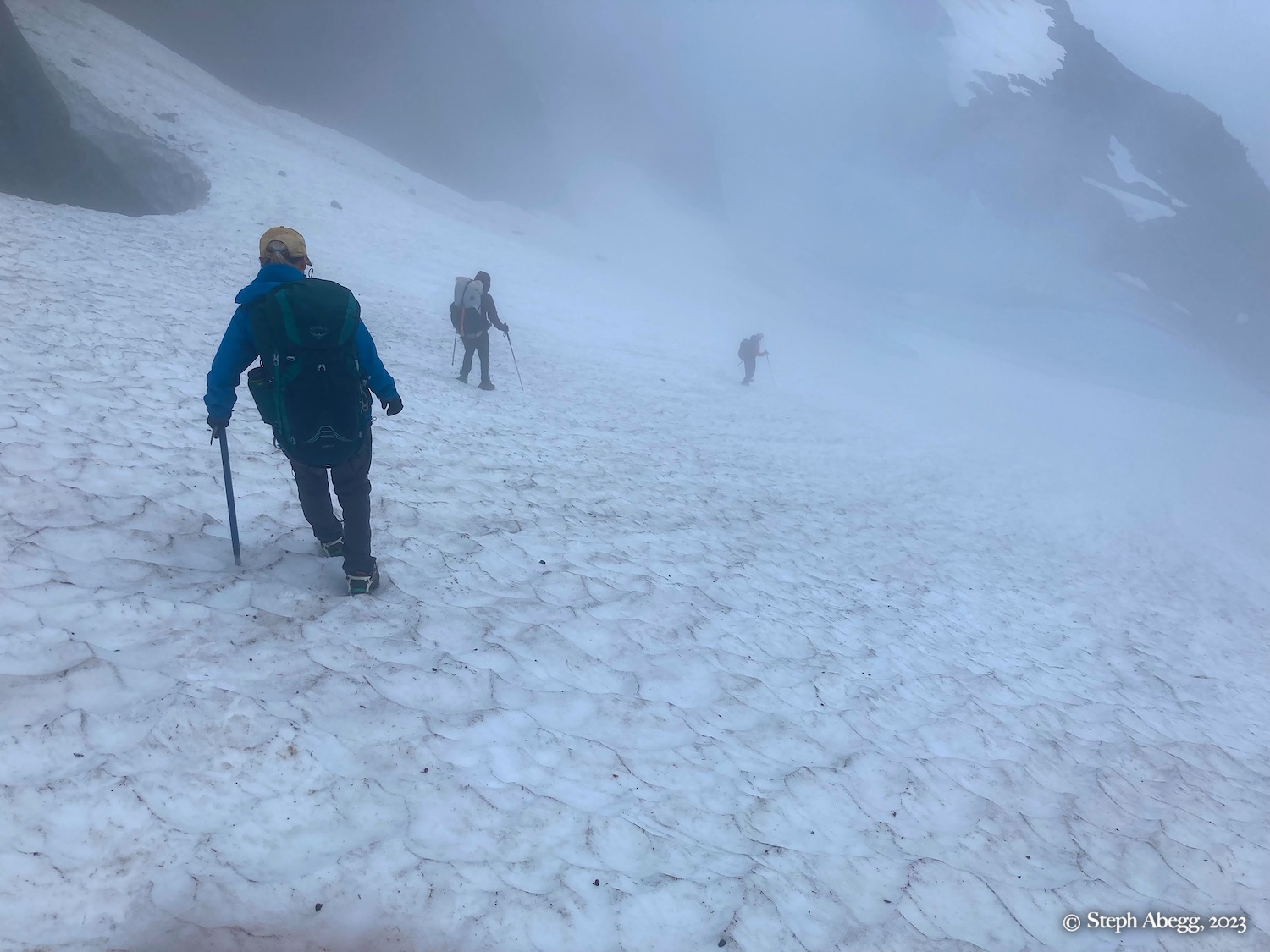
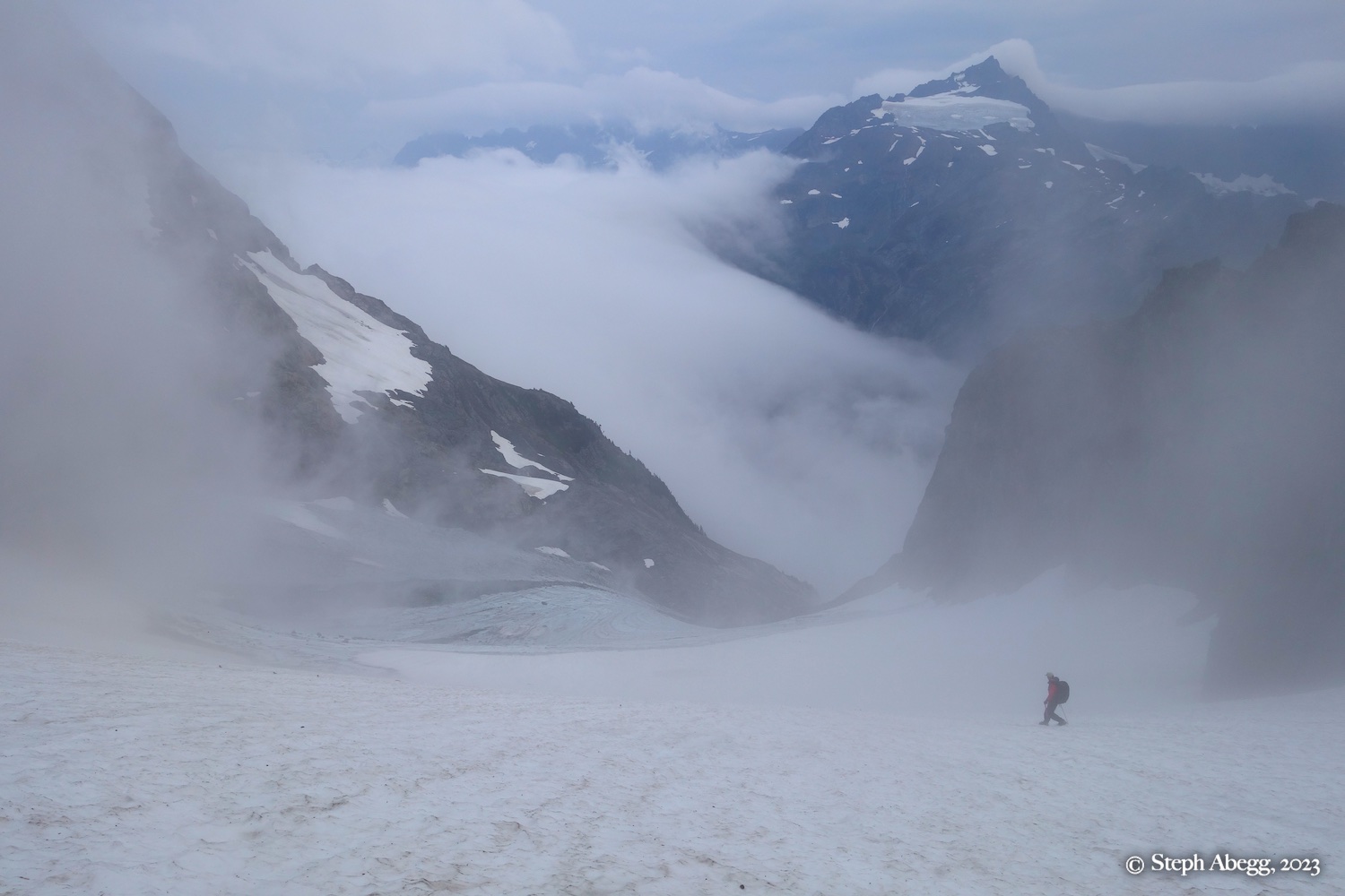
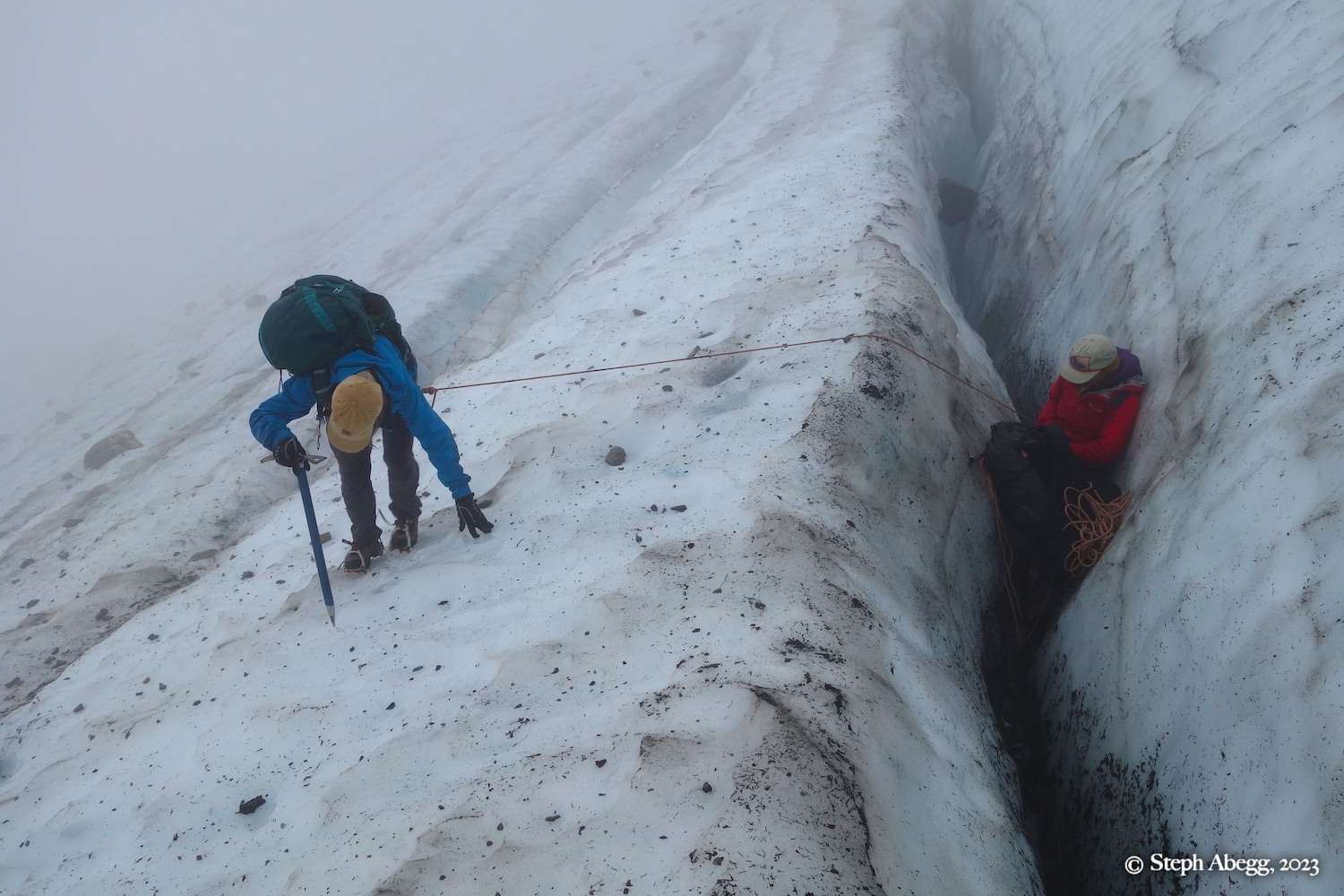
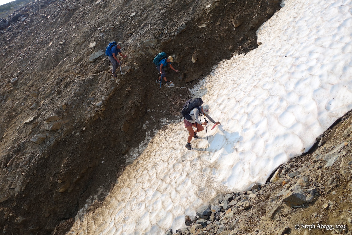
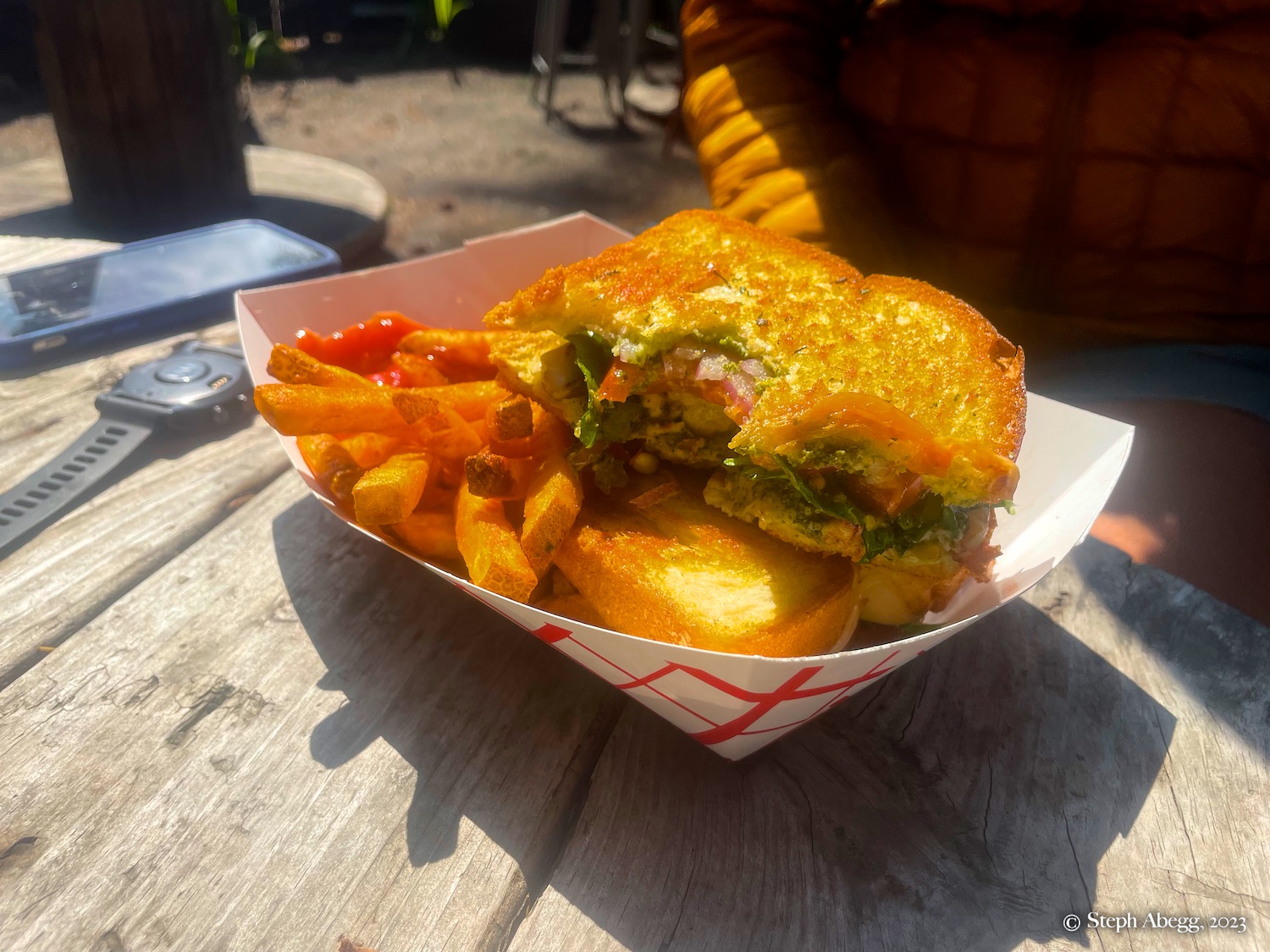
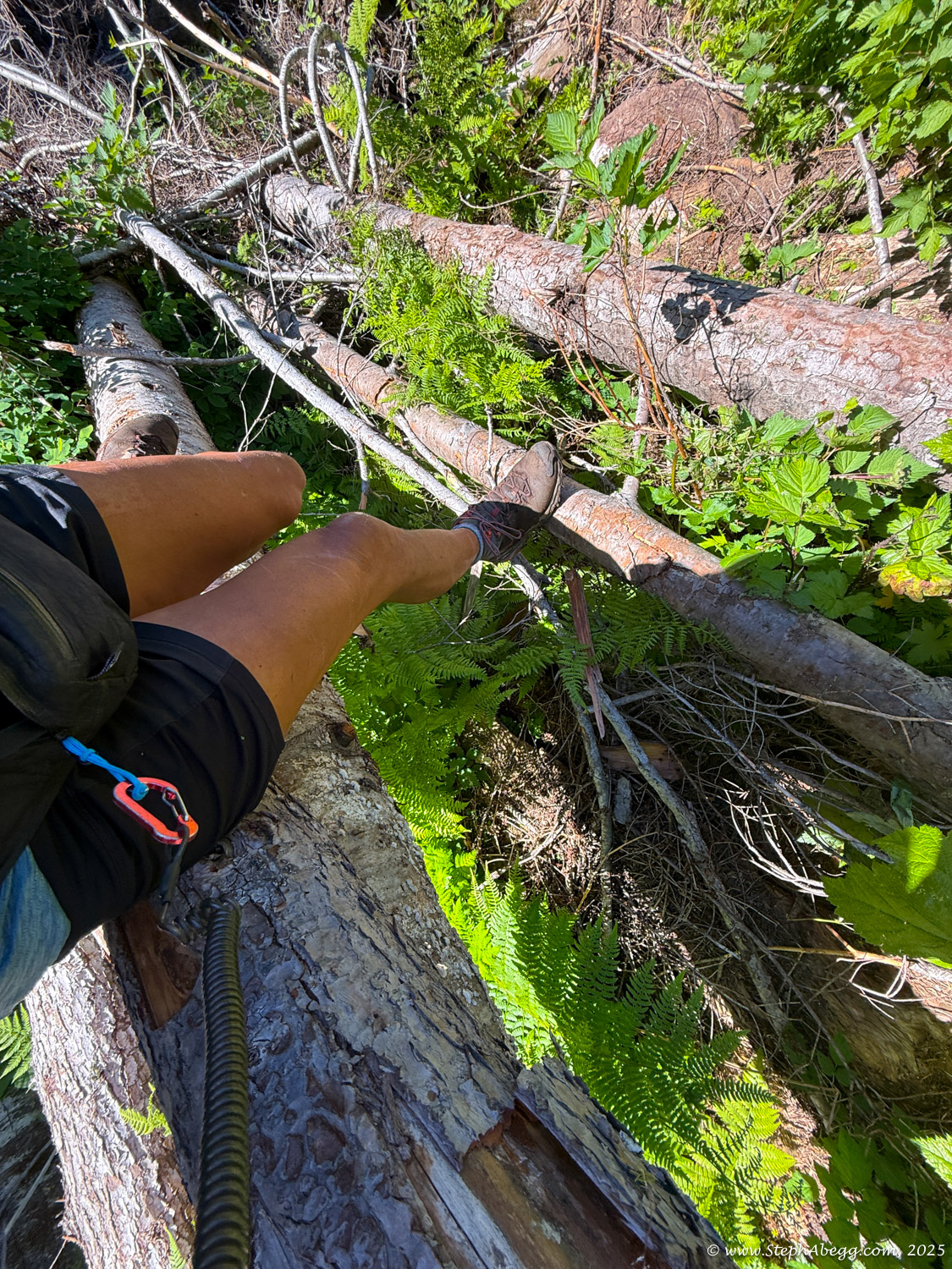
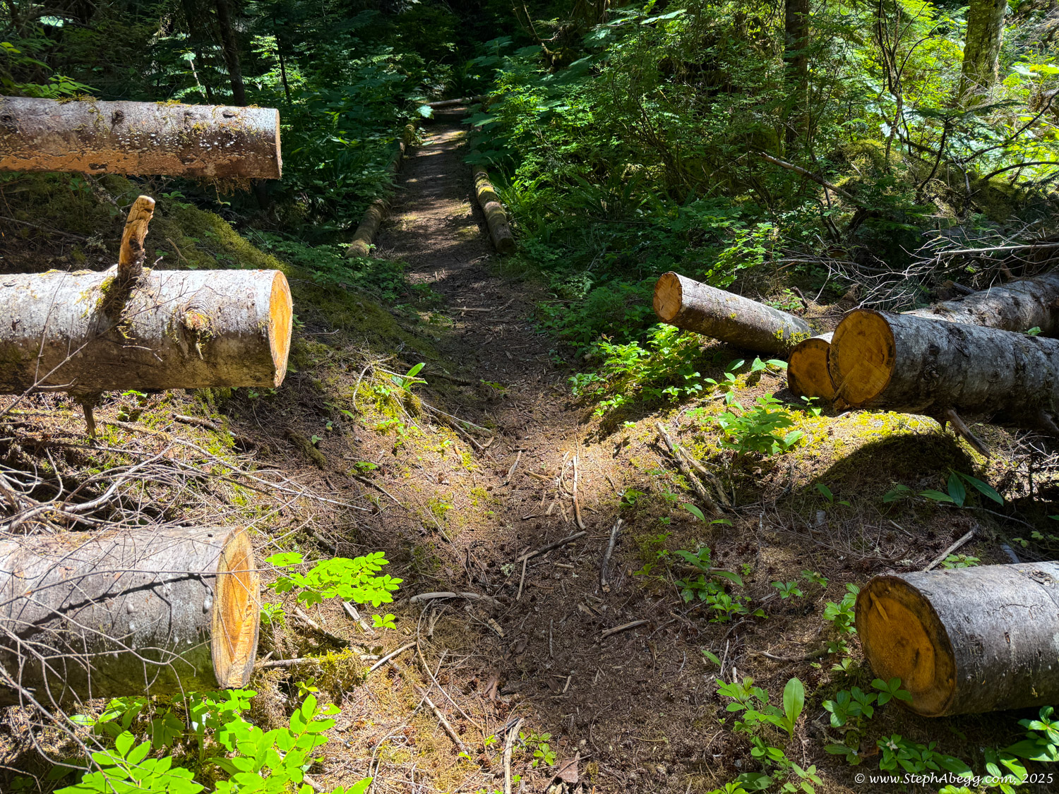
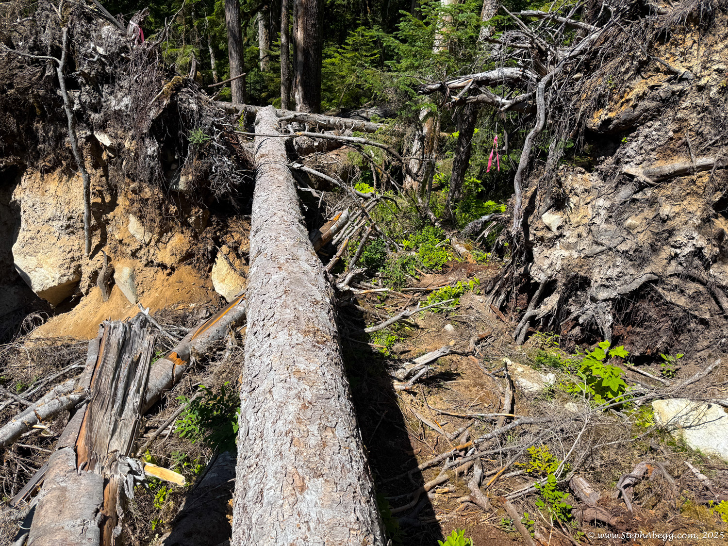
Jenny and I booked time off work, I bought a plane ticket to Seattle, our parents prepped their gear, and the plan was set into motion. A hot and dry summer had made the glaciers icy and the terrain more rugged than usual, slowing our pace. We ended up turning around just a couple of miles short of White Rock Lakes—wishing we had budgeted one more night—but it didn’t matter. The landscapes were stunning, the campsites dreamy, and I was deeply impressed with my parents. It was our most meaningful and wonderful family trip to date. Way better than Disneyland. [Why didn’t we just do the full traverse in five days? Good question. A few reasons: (1) We wanted to avoid the time-consuming car shuttle, given our tight work schedules and my flight plans. (2) The Downey Creek exit was reportedly especially “schwacky” in 2023. (3) We weren’t sure what pace we could maintain, and decided to play it safe. In hindsight, we probably could’ve committed to the through-hike, but no regrets.]
After our 2023 family adventure, we lightly tossed around the idea of returning again in 2024. But my dad’s worsening back issues ruled it out. We were glad we had snatched the opportunity in 2023.
Fast-forward to early July 2025: I was visiting my sister in Leavenworth, WA, and my parents in Chilliwack, BC. I had a few free days, was recovering from an arm injury, and trying to avoid climbing. The idea struck: why not try the Ptarmigan Traverse in a single push, like Jenny had done in 2020?
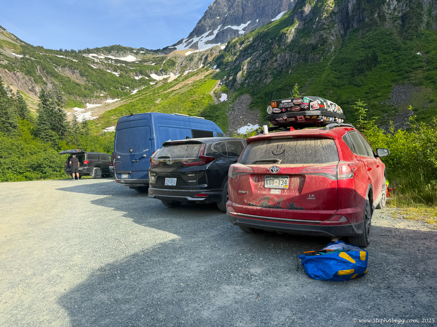
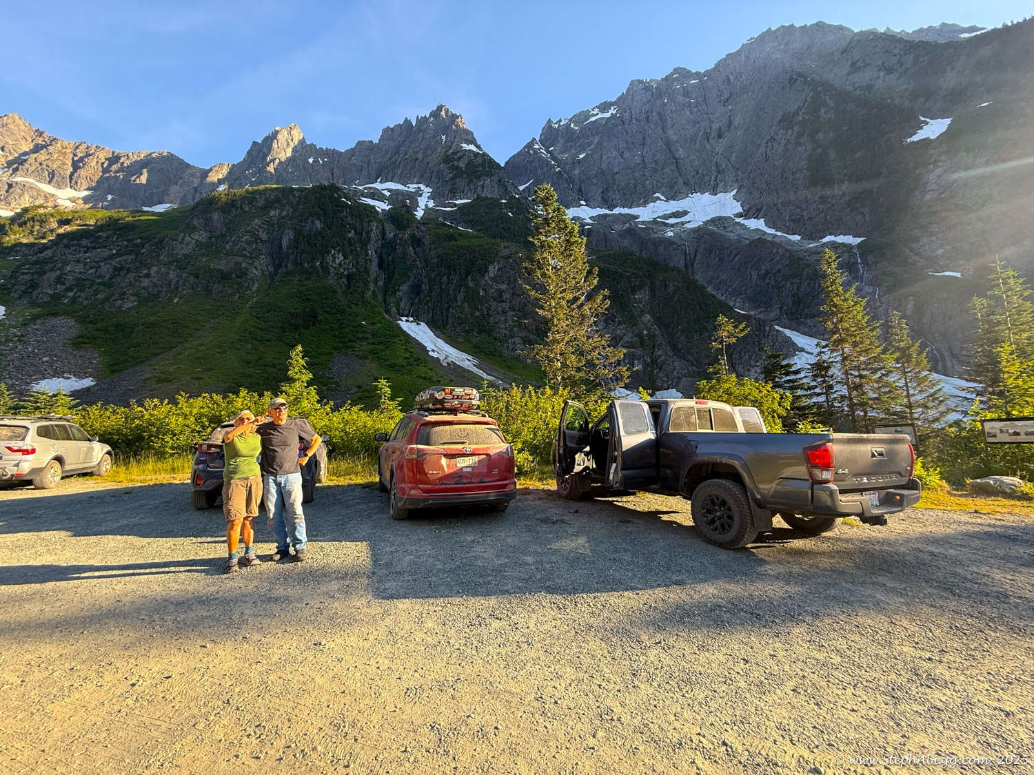
I texted my parents on Thursday: “I’m thinking of doing the Ptarmigan Traverse in a single push on Sunday. Can you pick me up at the Downey Creek Trailhead?” Their reply was nearly immediate: “Sure!”
Jenny had completed the traverse in 16 hours and 4 minutes back in 2020—the same month Kaytlyn Gerbin and Alex Borsuk set the
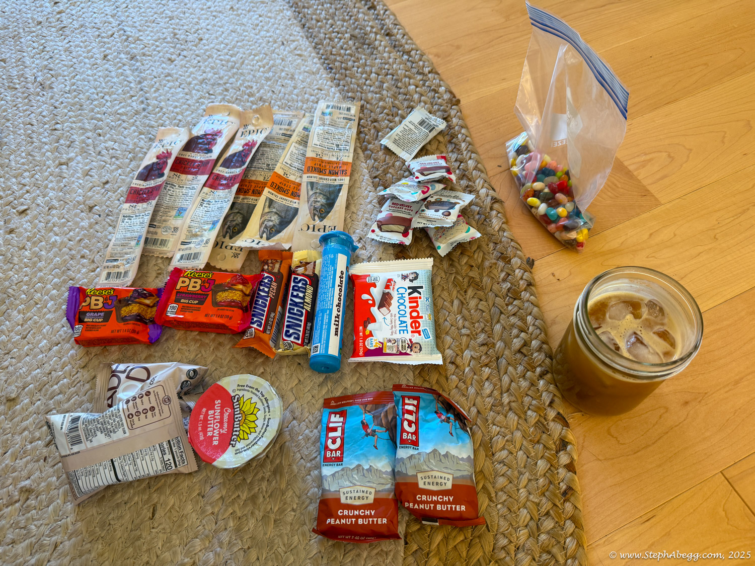
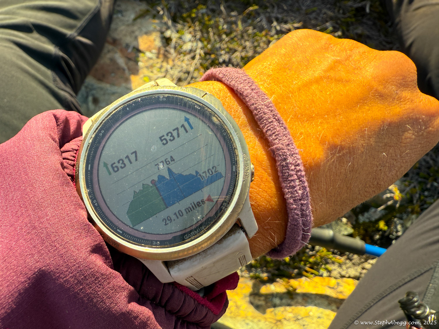
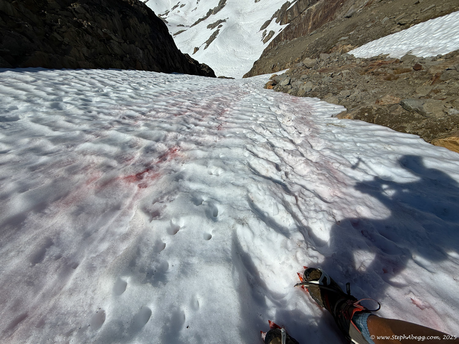
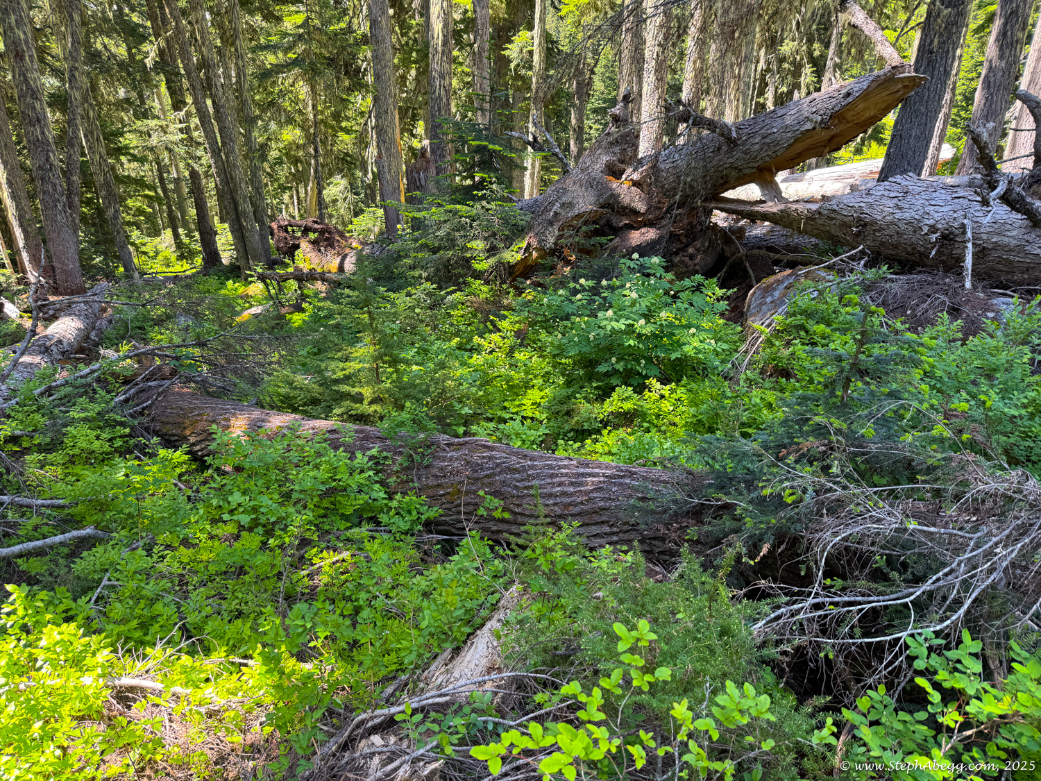
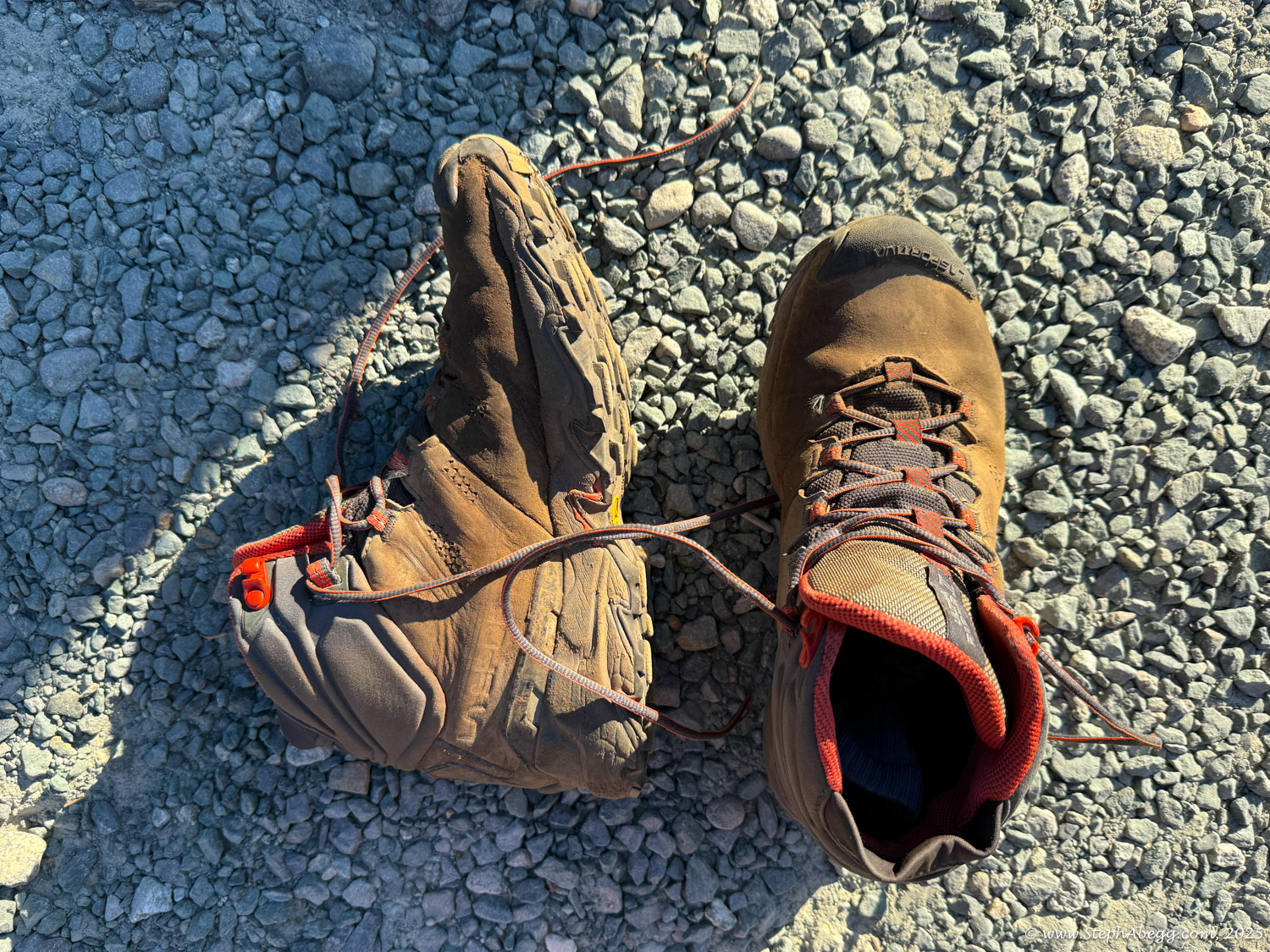
women’s FKT (Fastest Known Time) at 14 hours and 2 minutes. Speed on this route is as dependent on conditions as it is on fitness. On our 2023 family adventure, we’d encountered dry, icy terrain that slowed us significantly. By contrast, 2020 had been a high snow year, which smoothed out the talus and allowed for faster, more efficient travel. While Jenny, Kaytlyn, and Alex are probably all a bit faster than I am, it was early July and I anticipated similar—or maybe even better—snow coverage. I set my sights on an 18-hour finish. In the end, I completed it in 16 hours and 48 minutes—not bad, especially considering the added challenge of increased deadfall along about a mile of the Downey Creek Trail since their trips. As far as I know, this is the fastest known solo women’s time (but such a category does not seem to exist on
fastestknowntime.com).
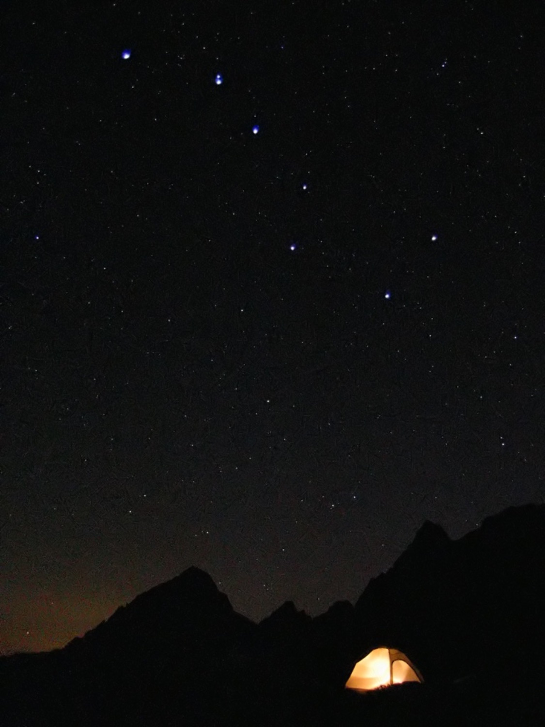
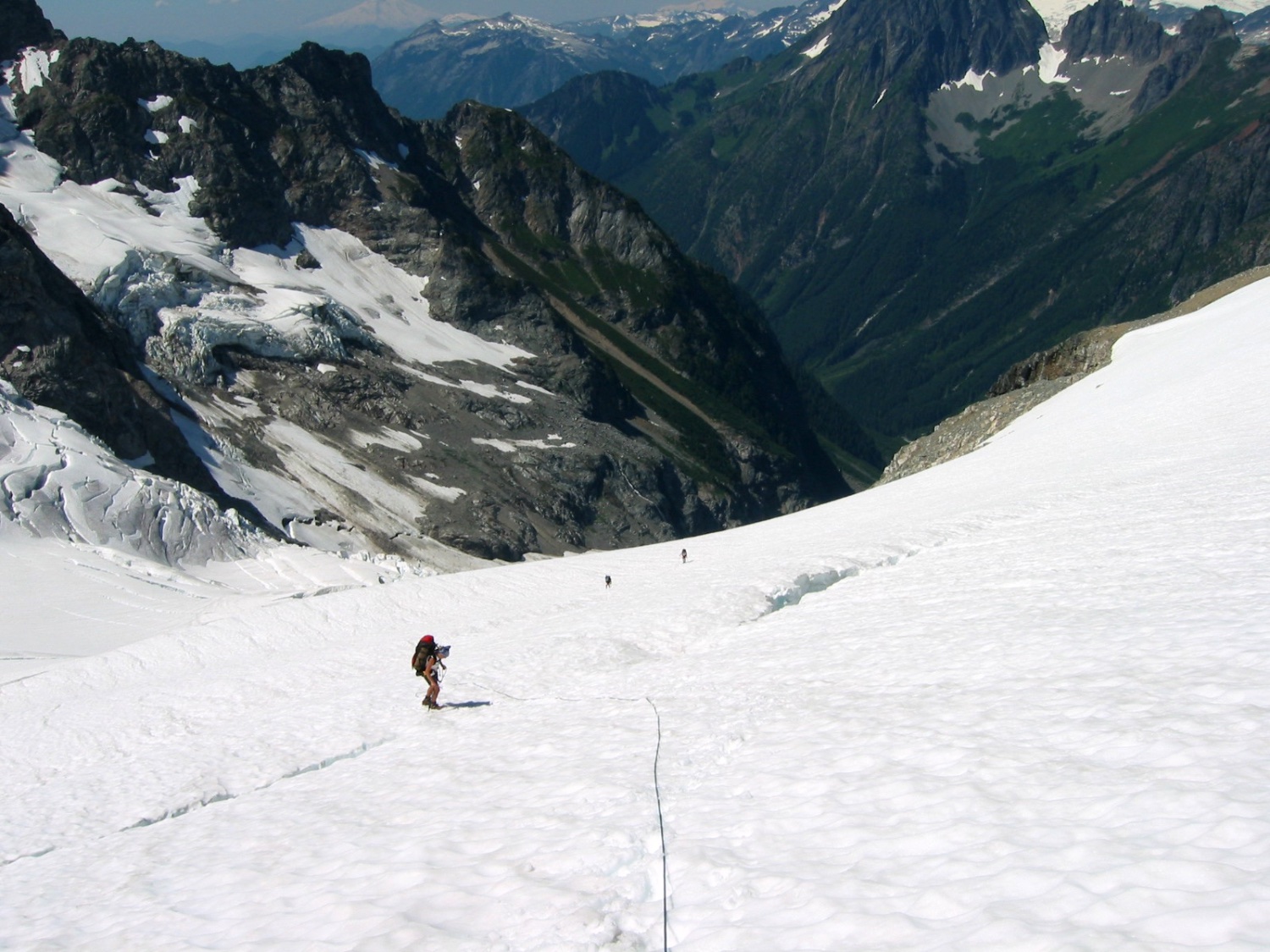
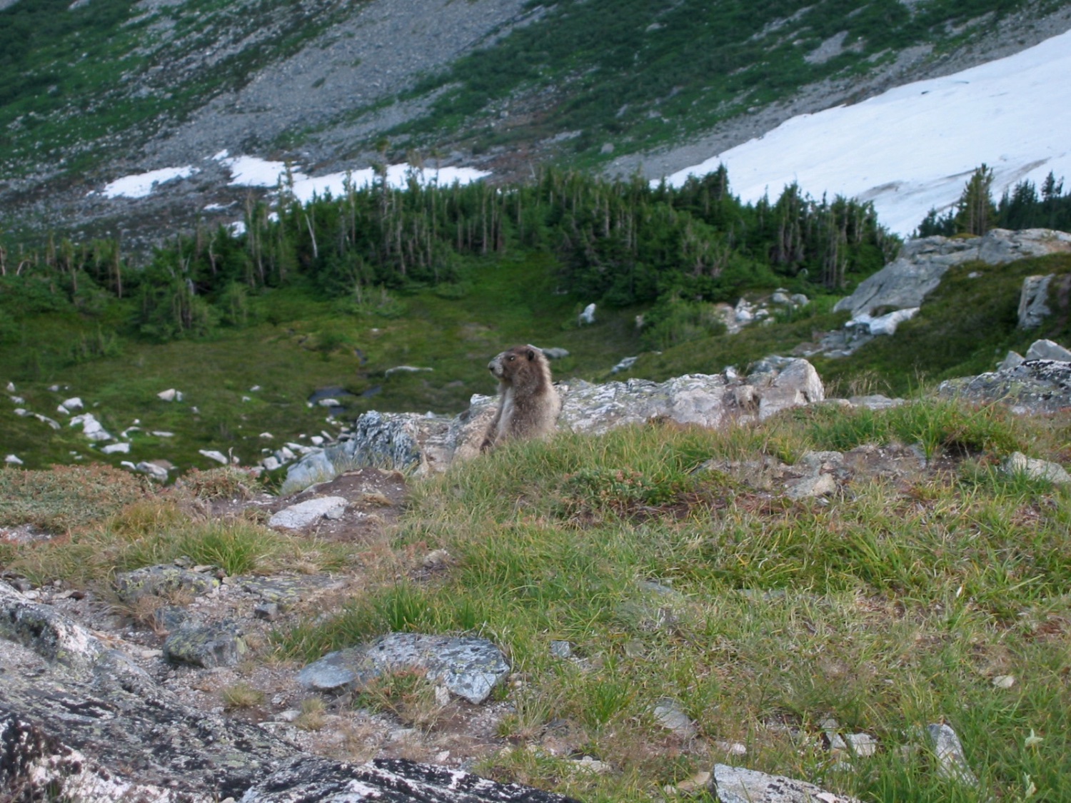
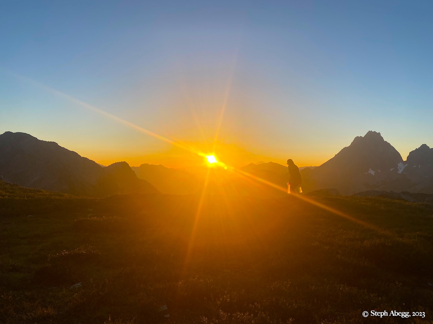
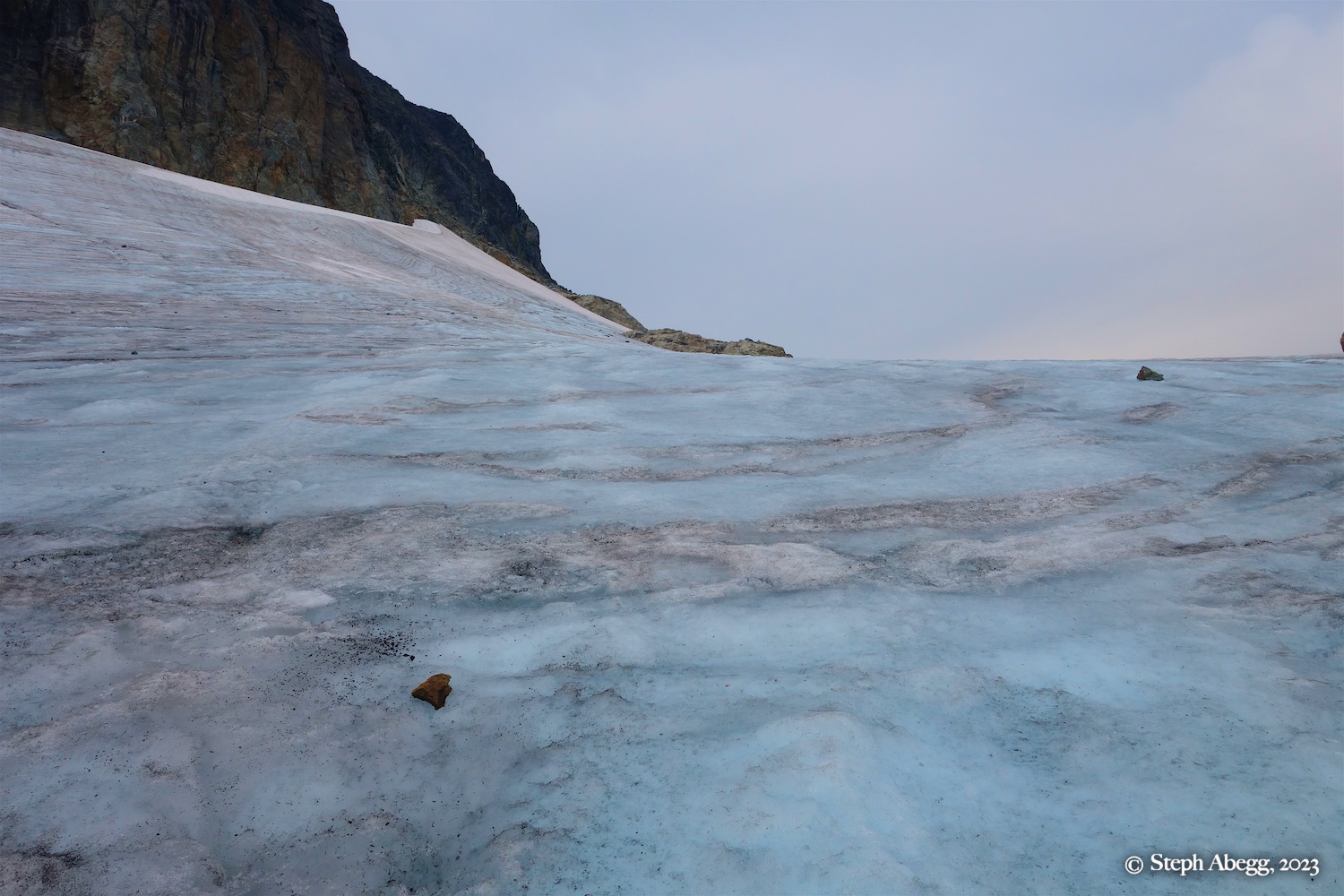
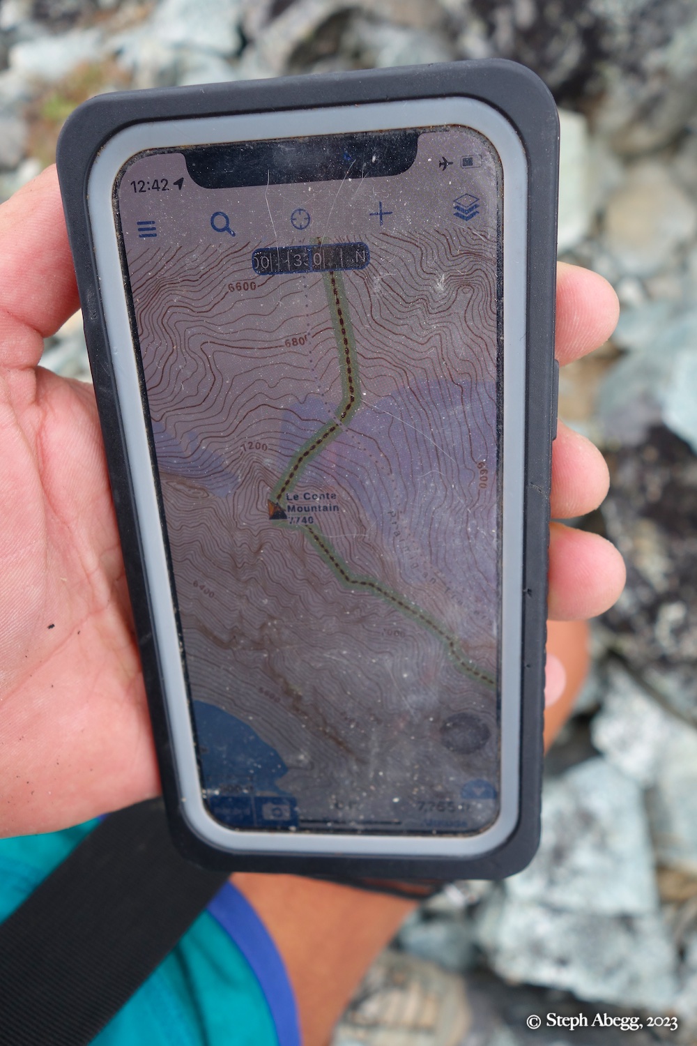
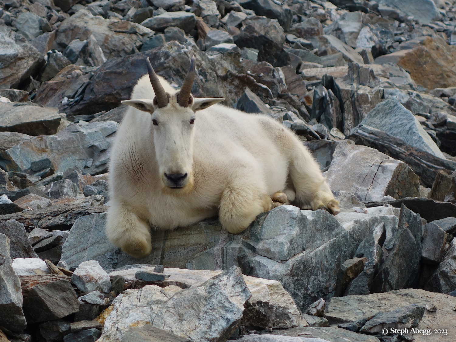
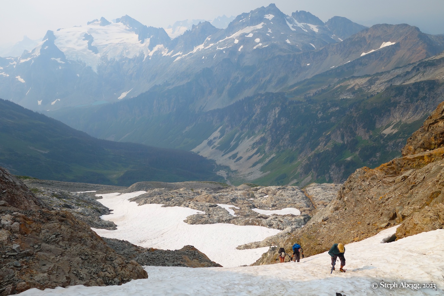
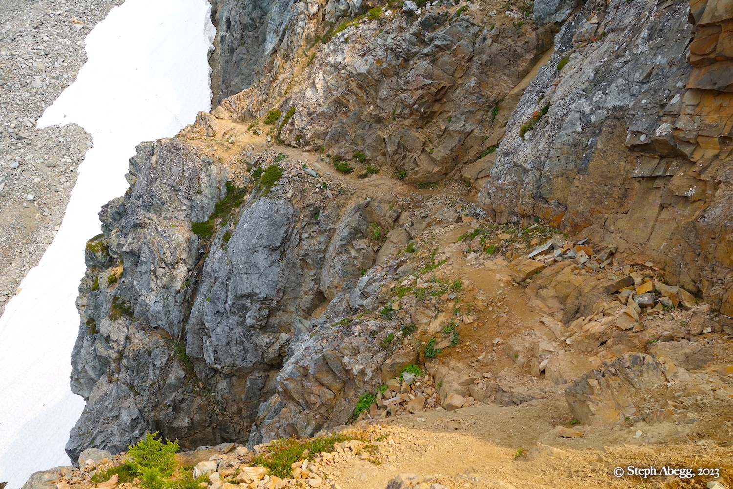
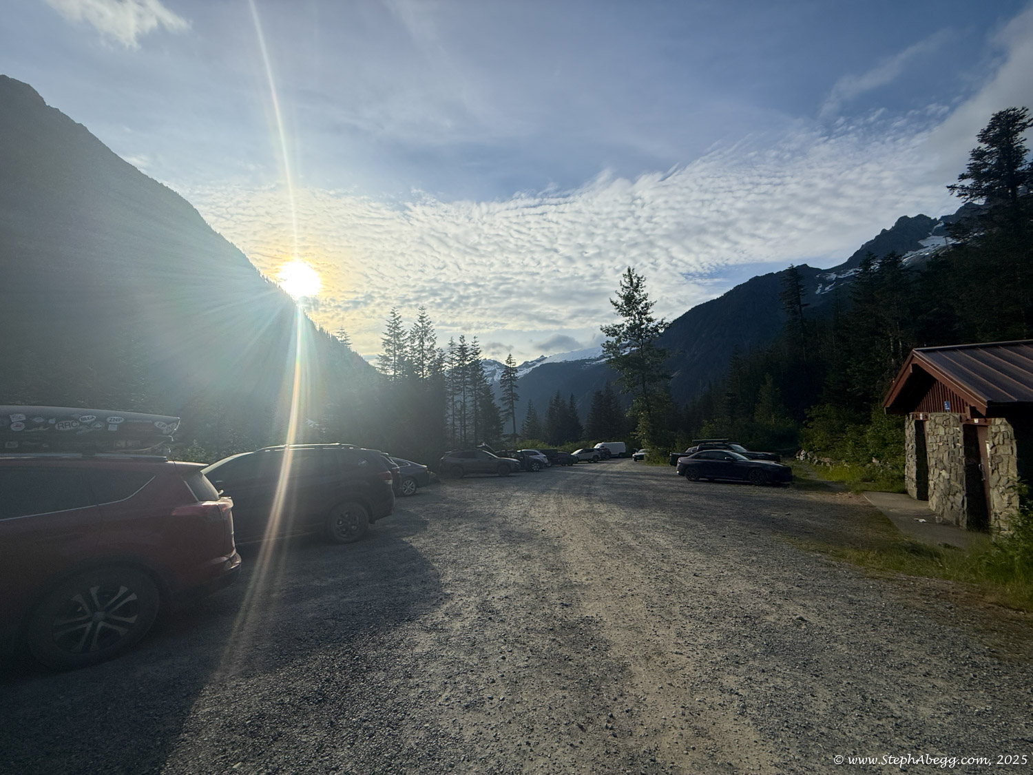
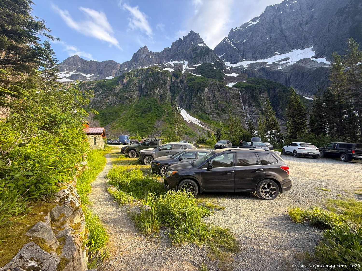
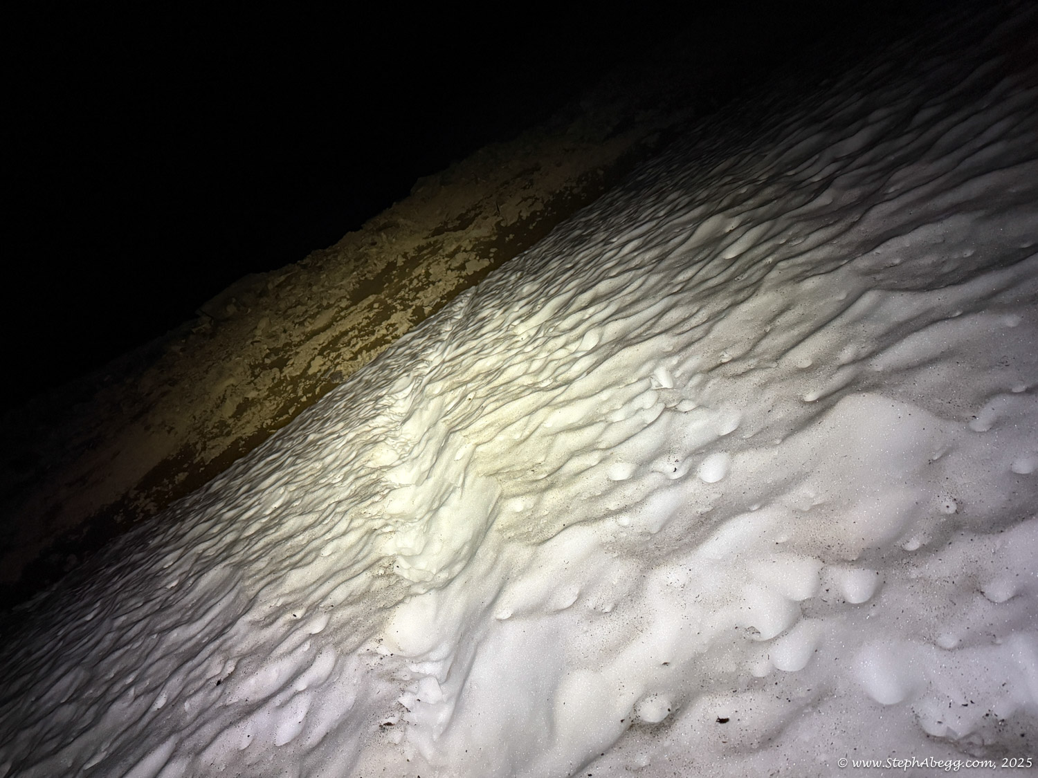
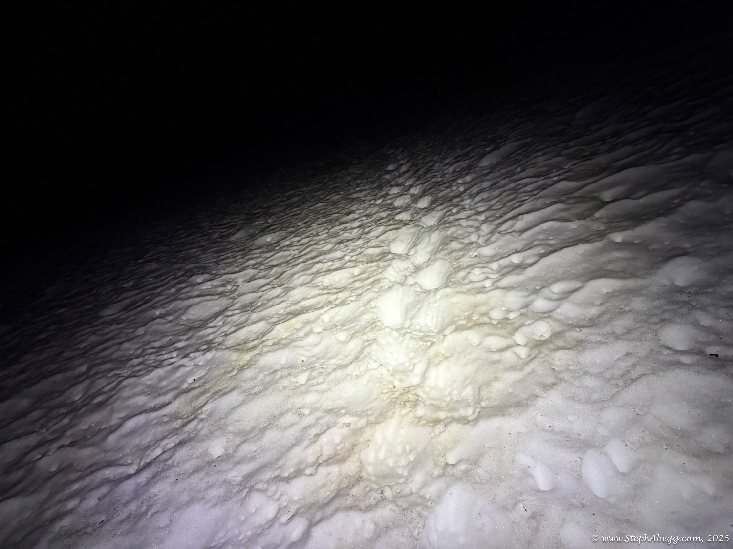
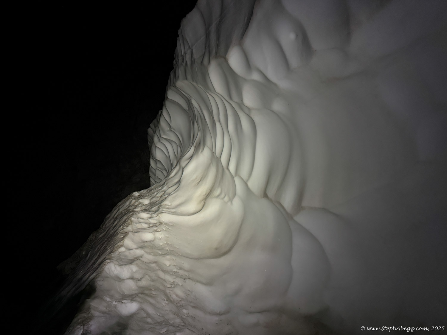
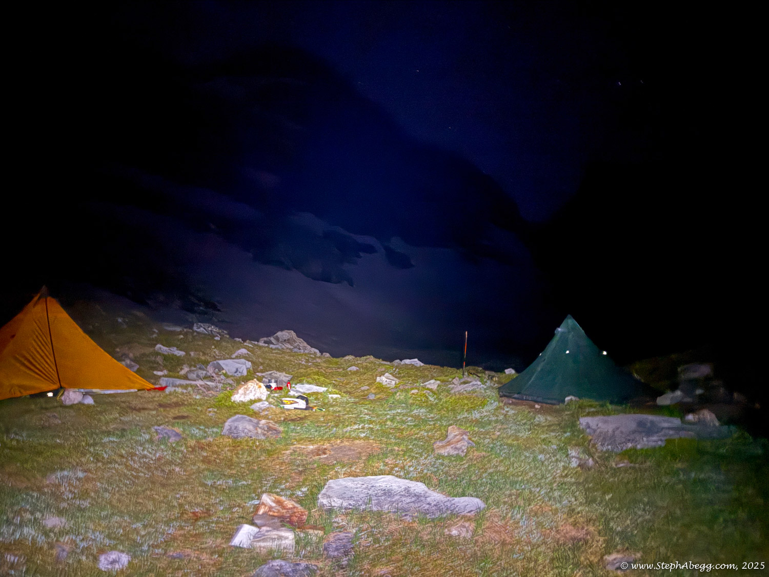
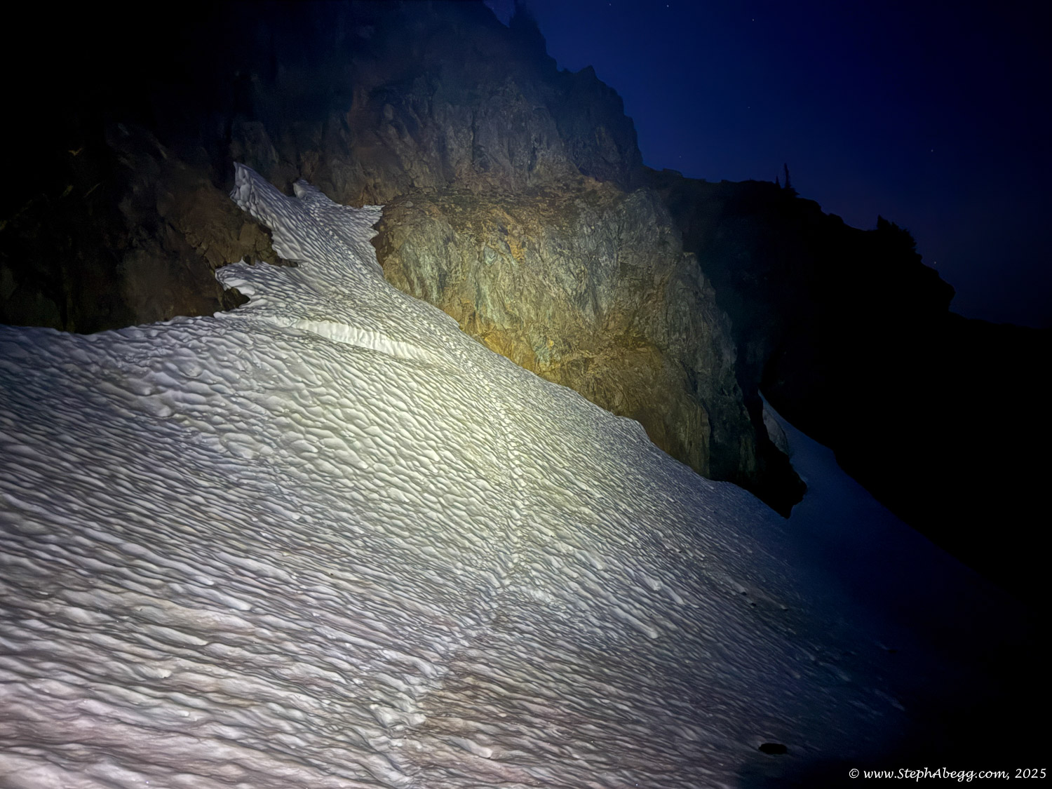
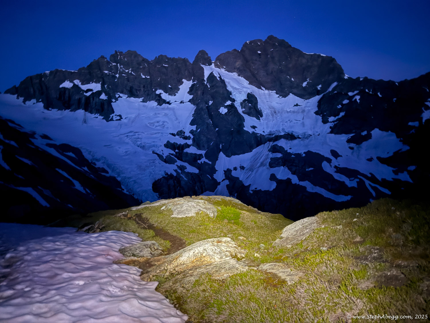
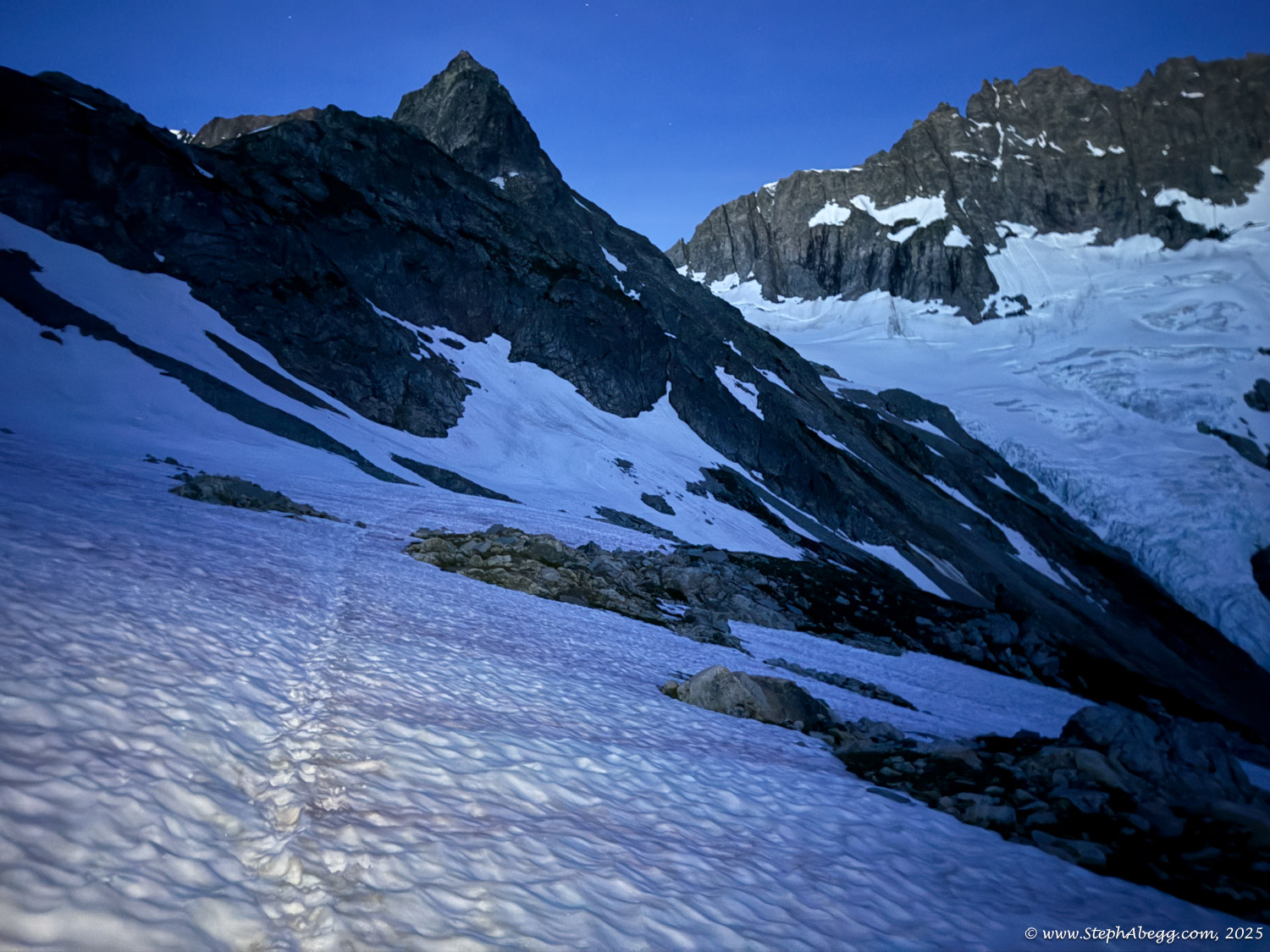
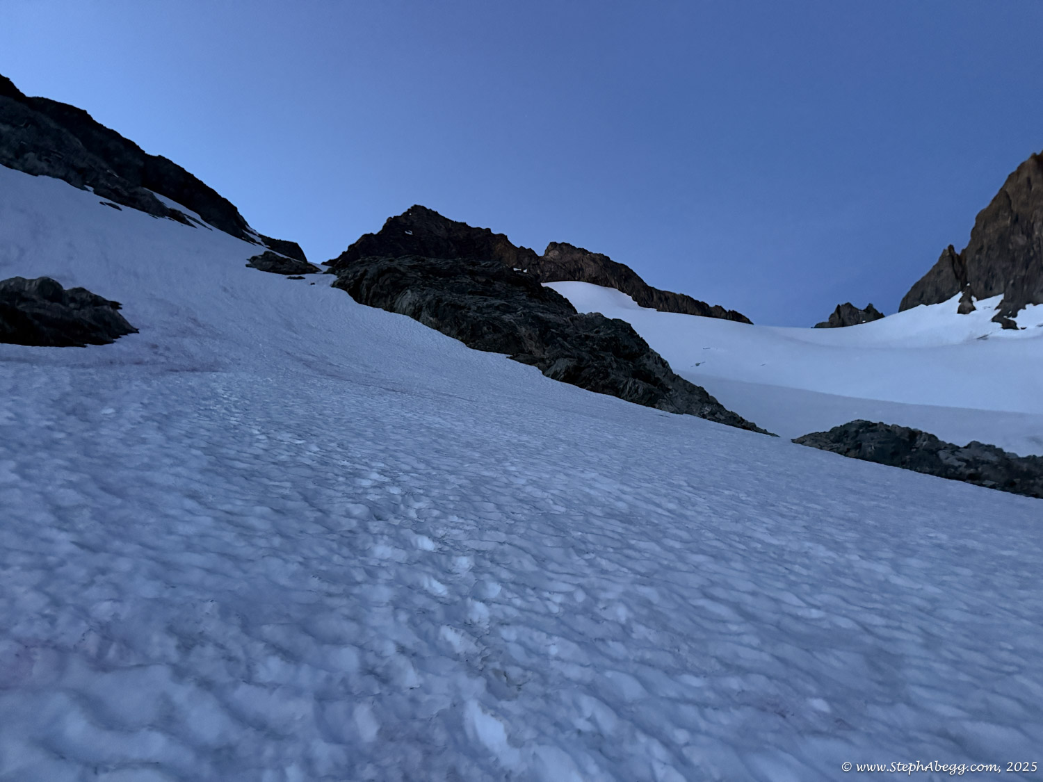
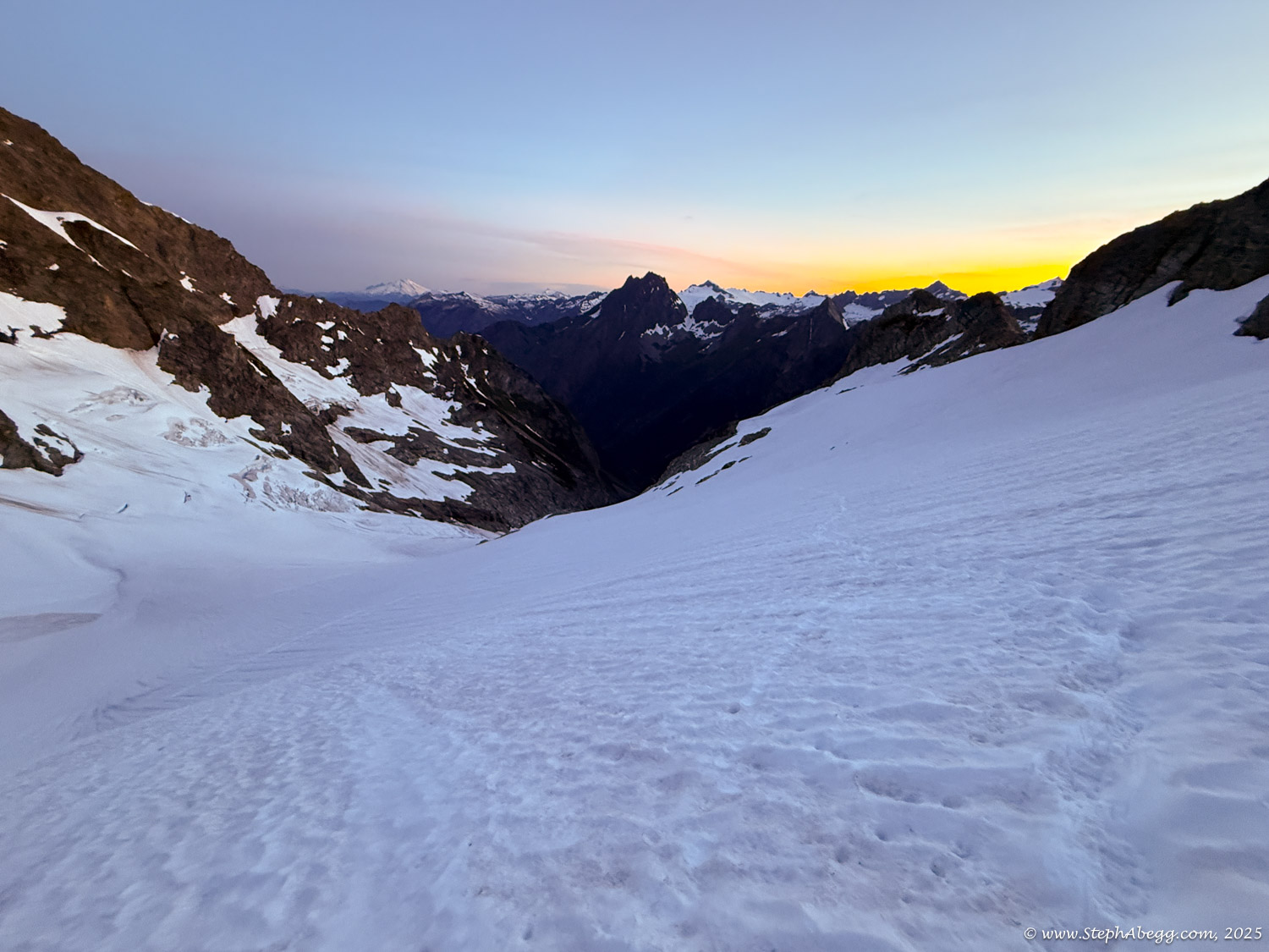
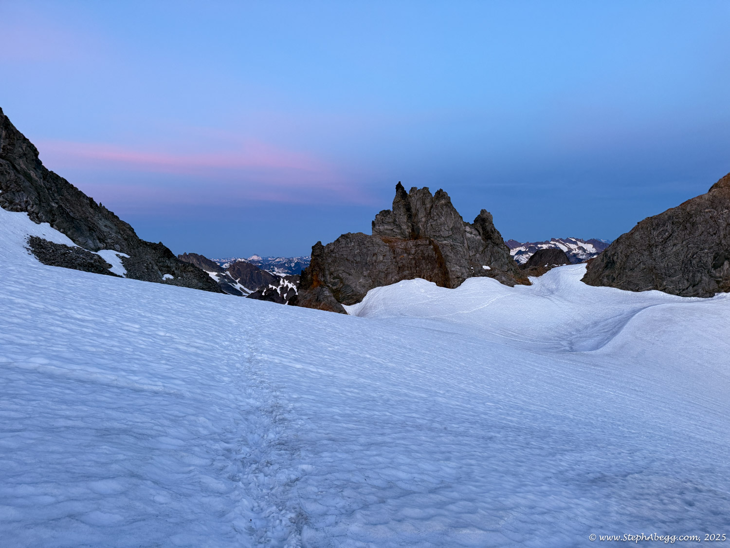
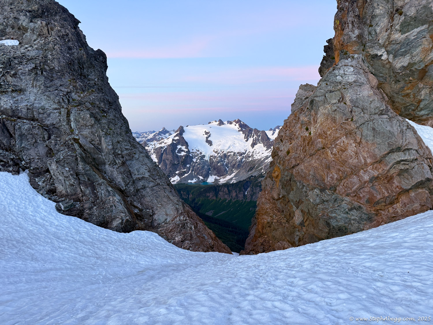
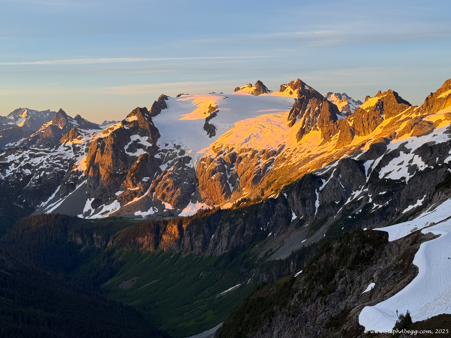
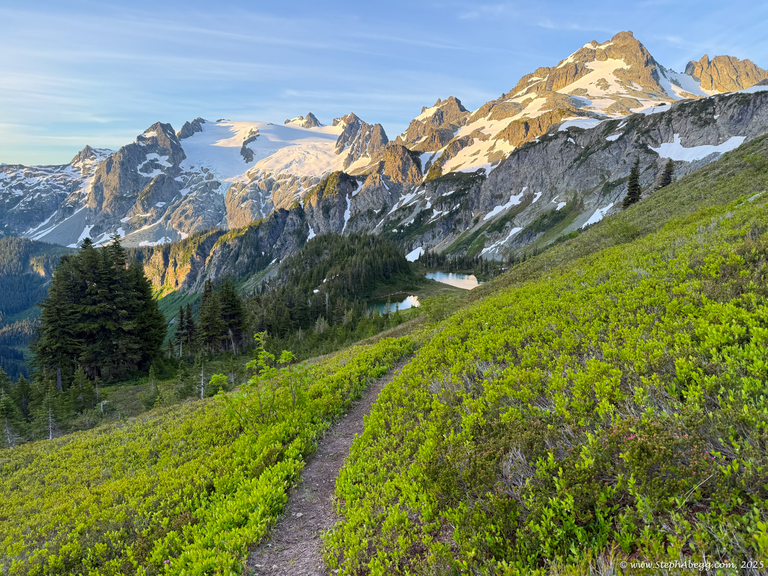
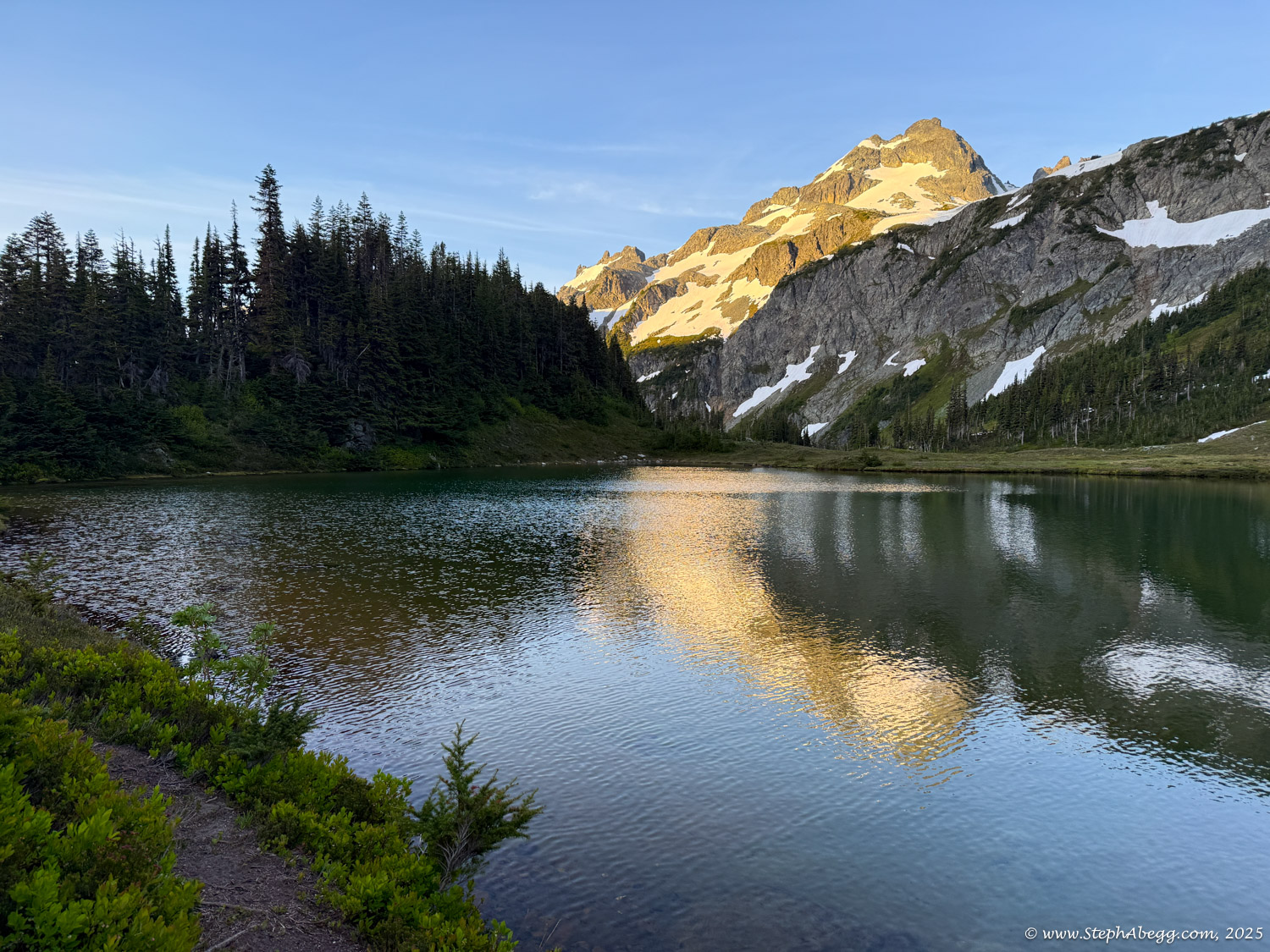
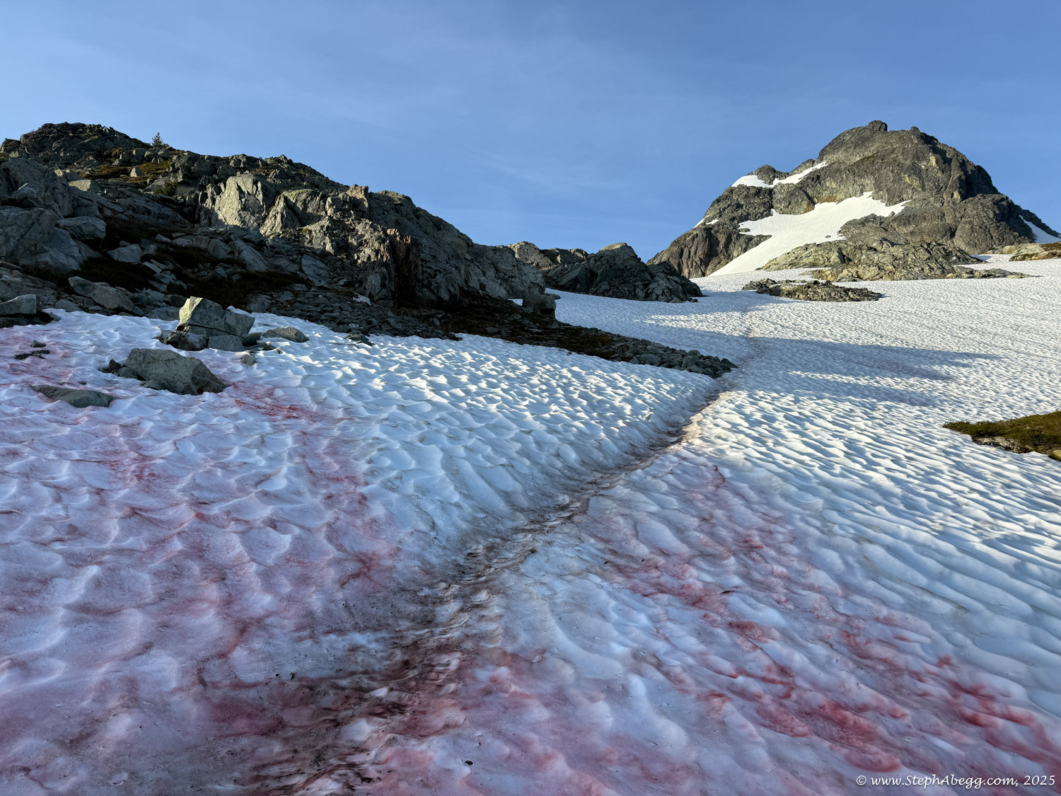
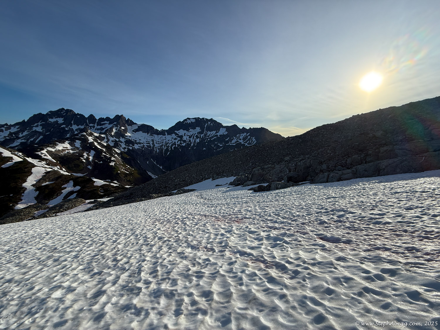
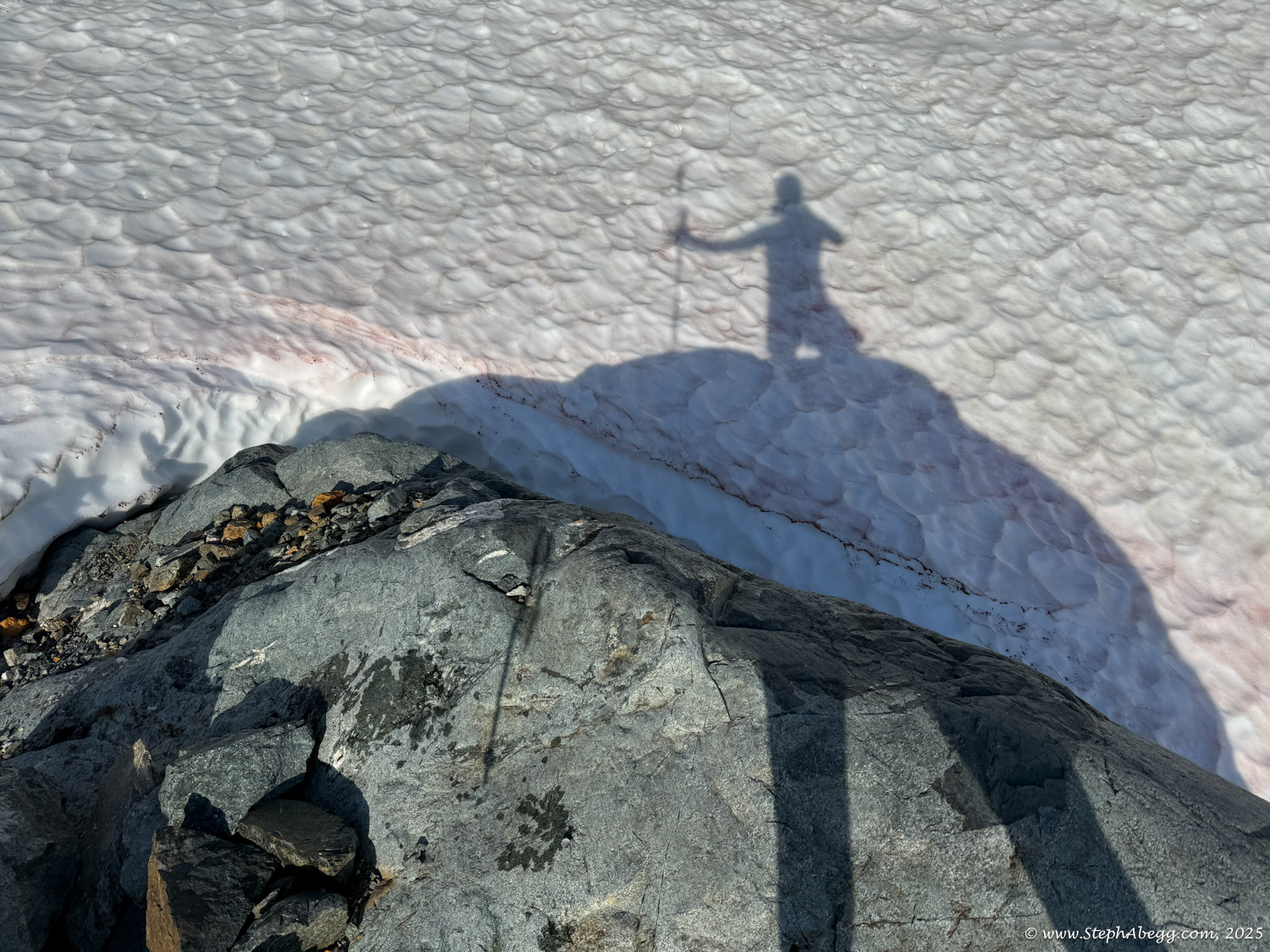
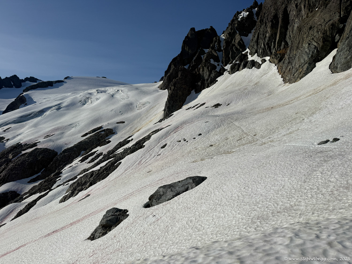
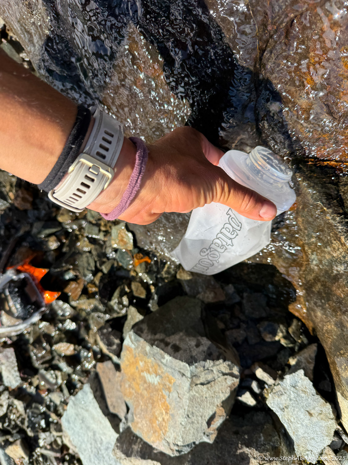
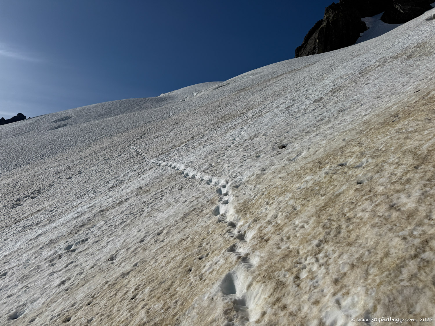
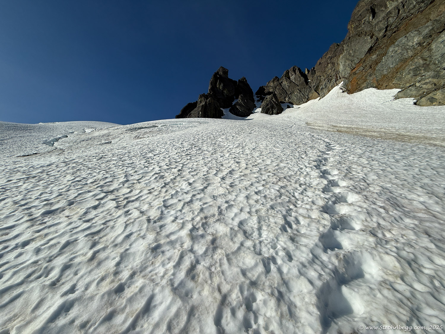
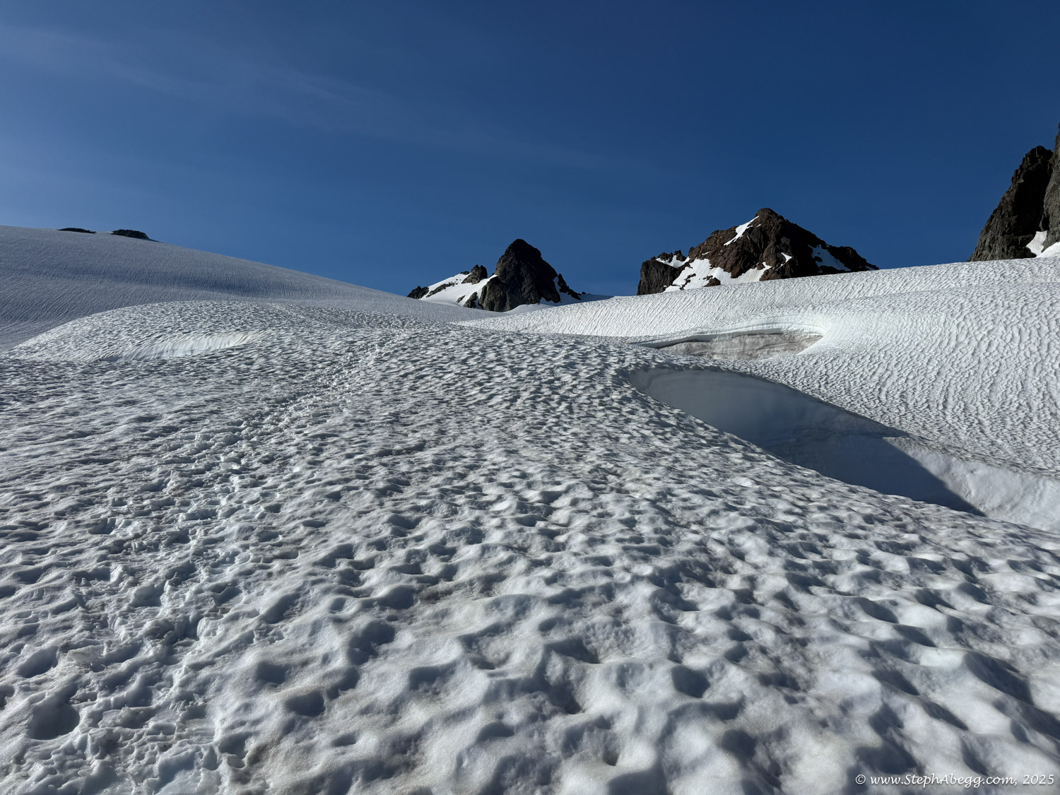
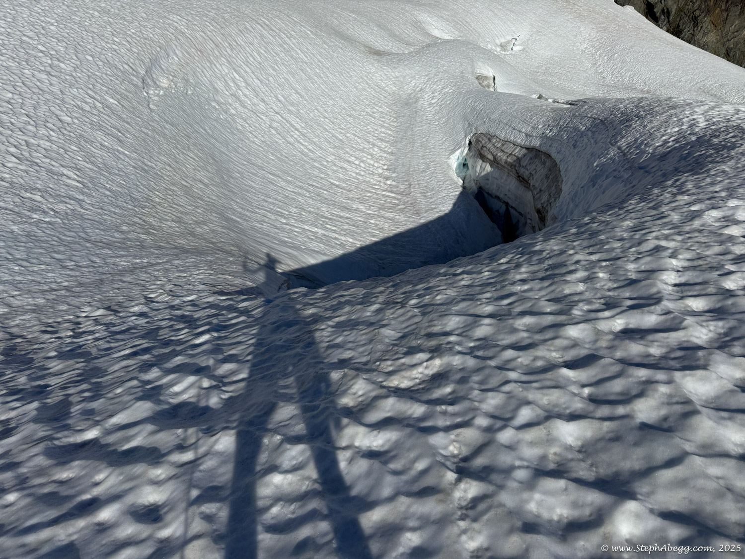
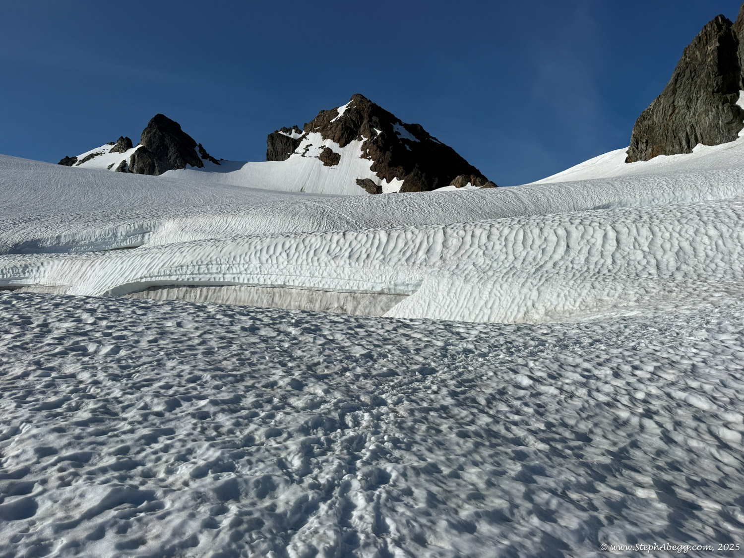
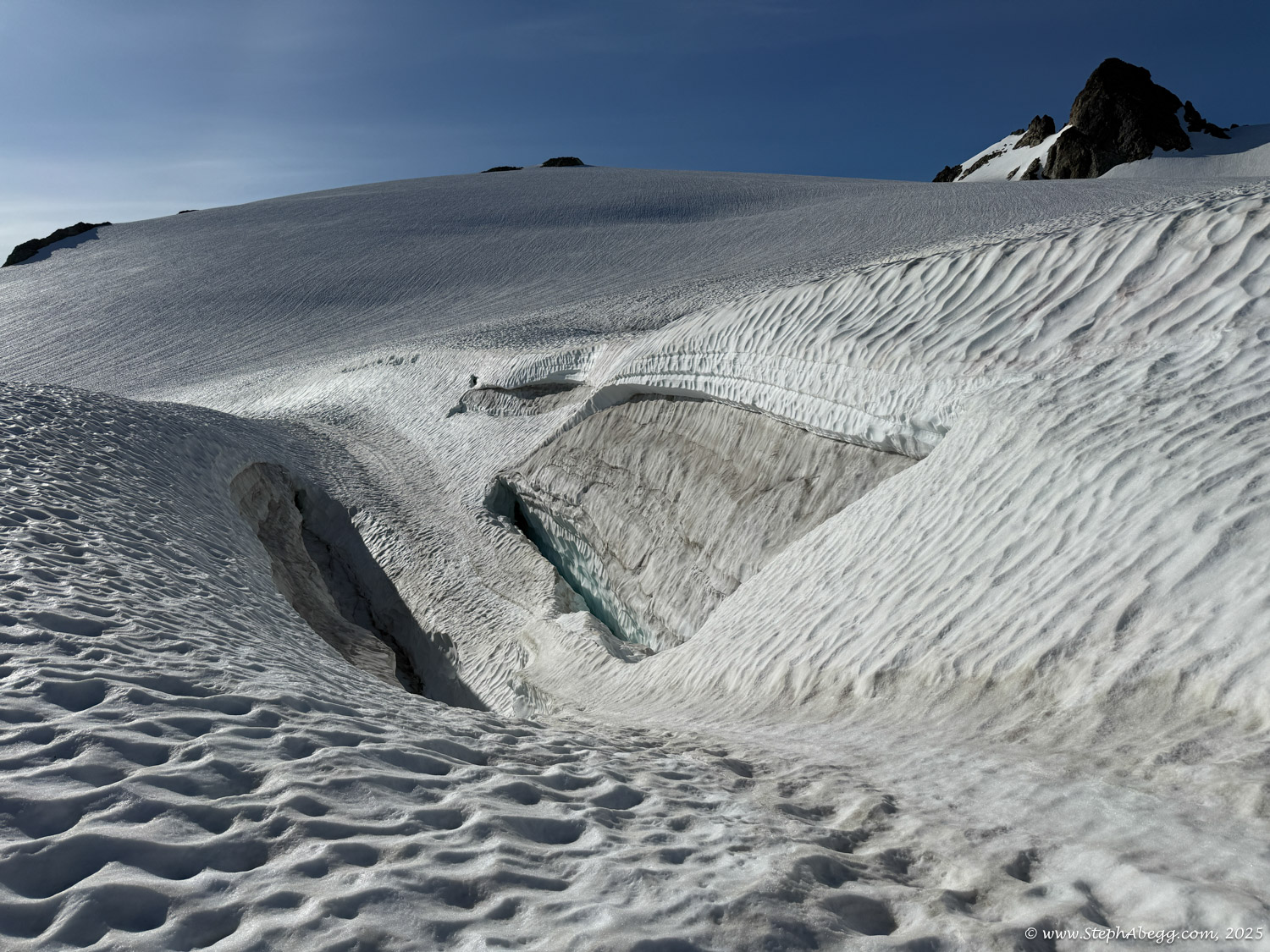
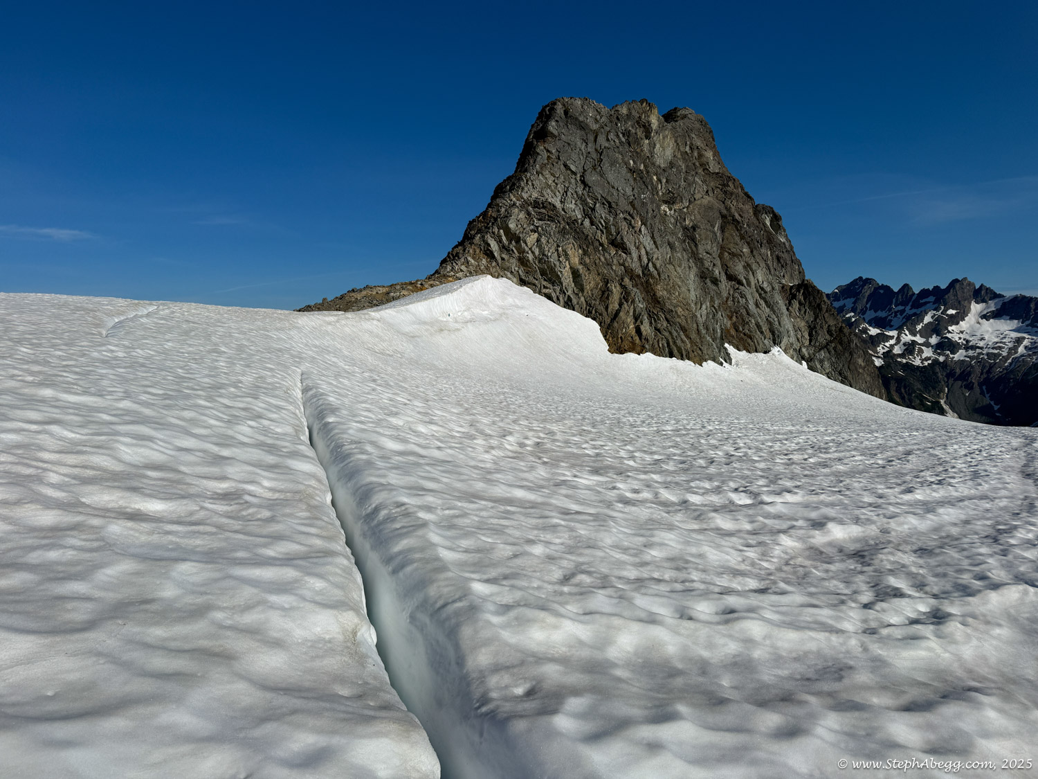
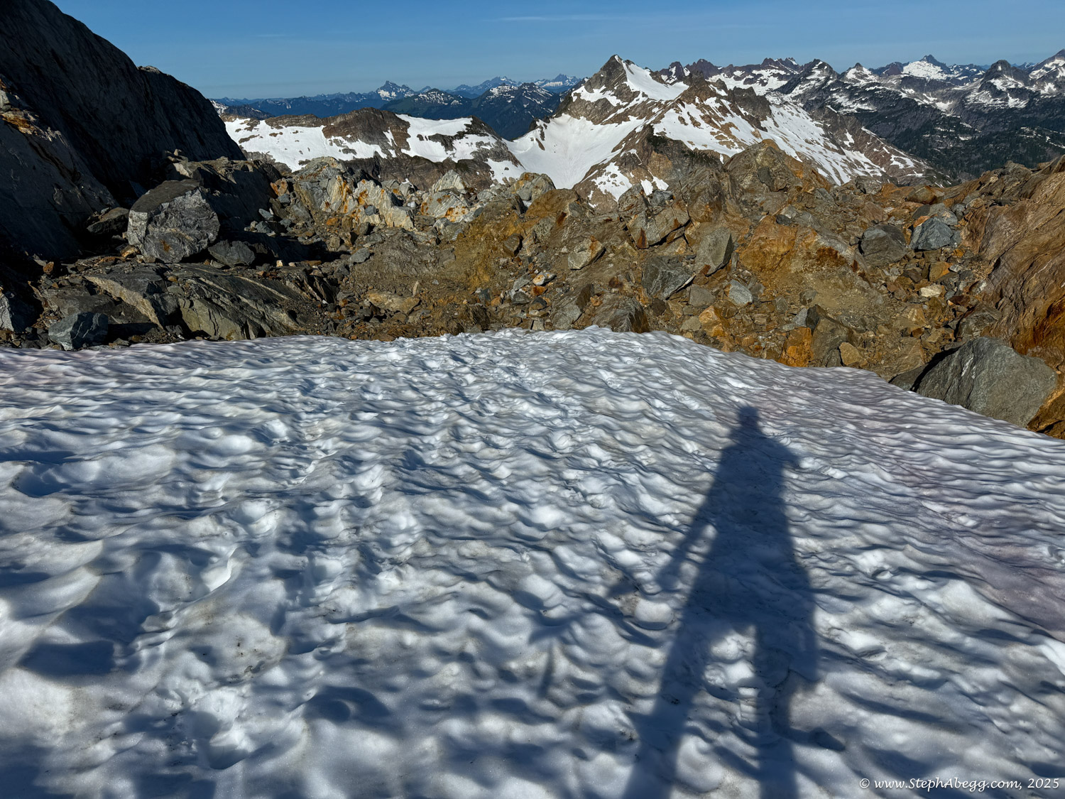
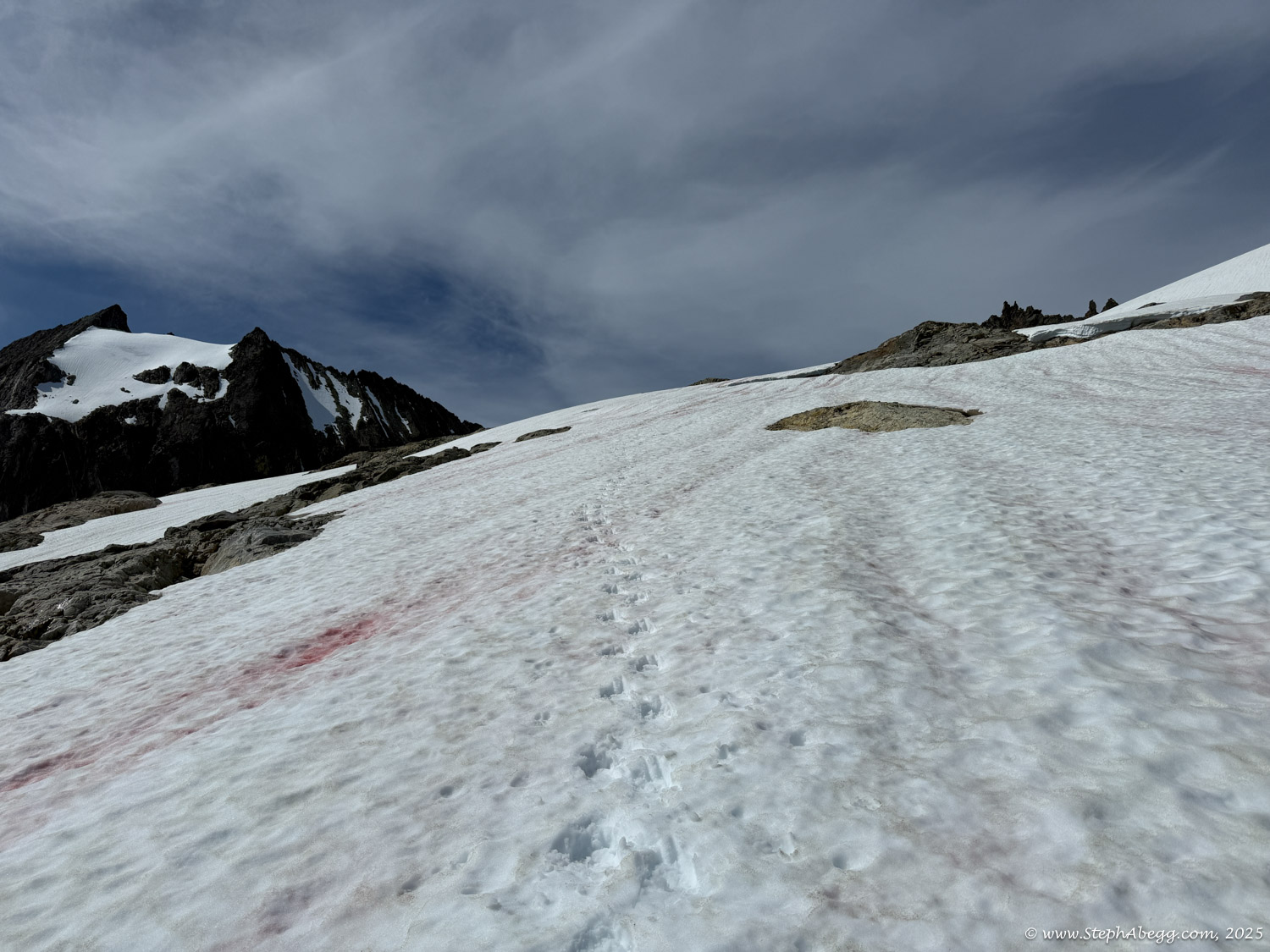
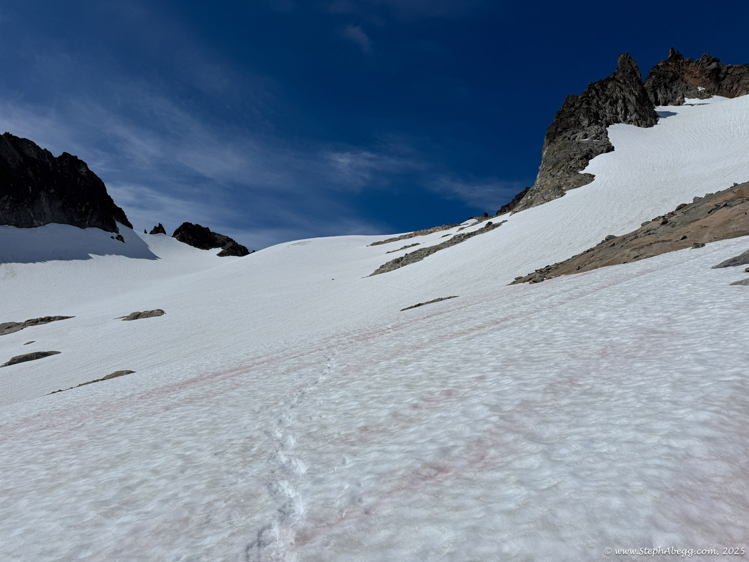
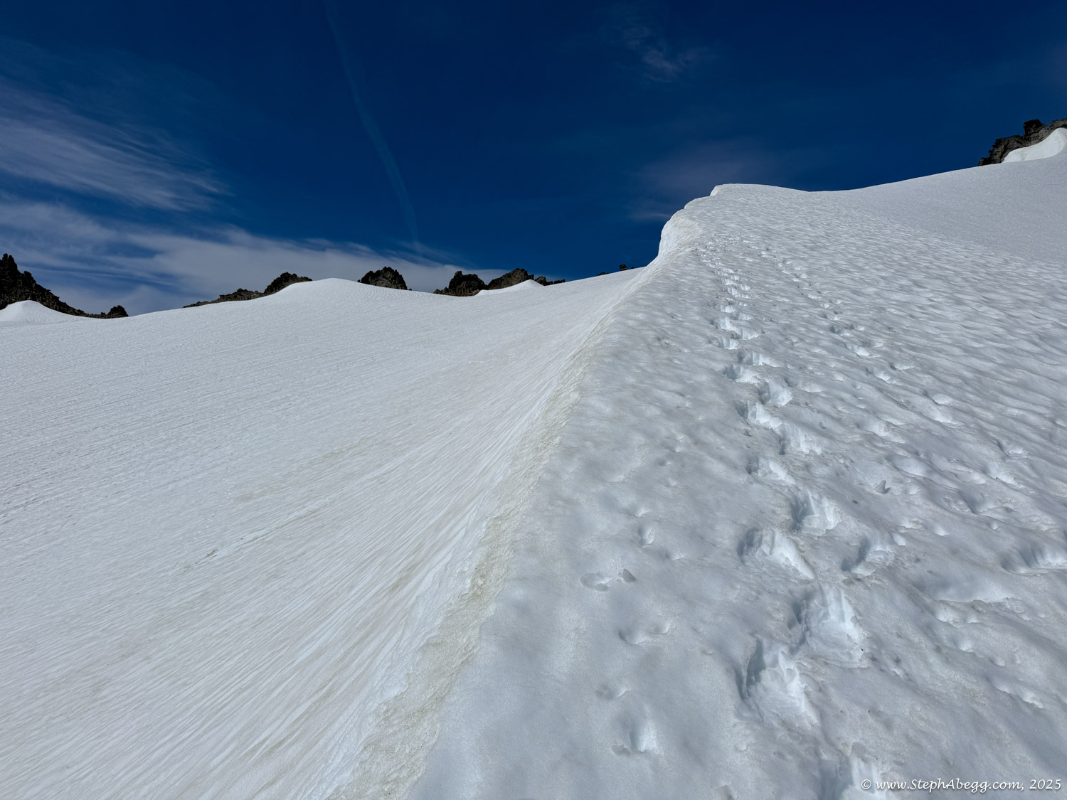
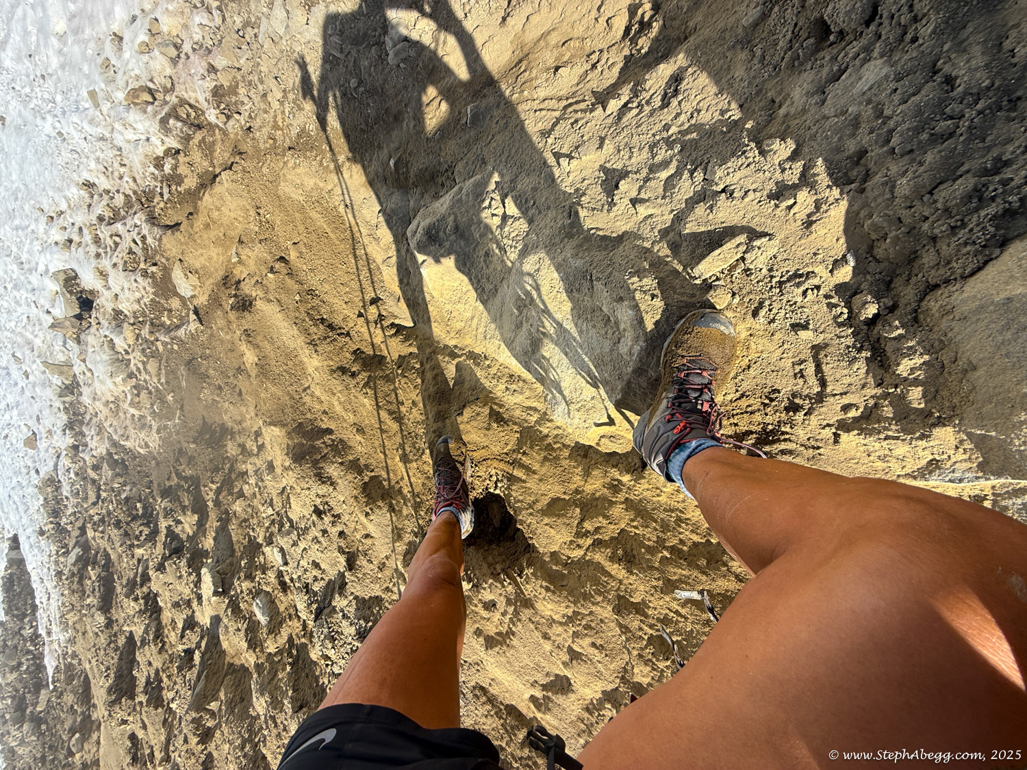
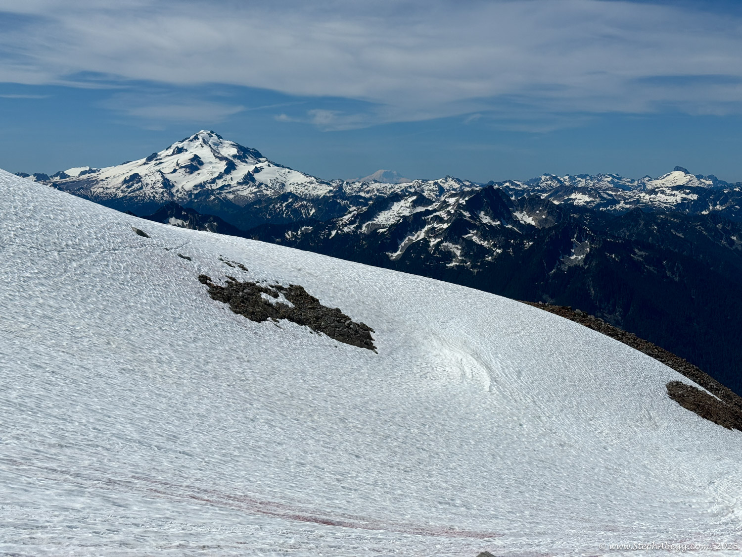
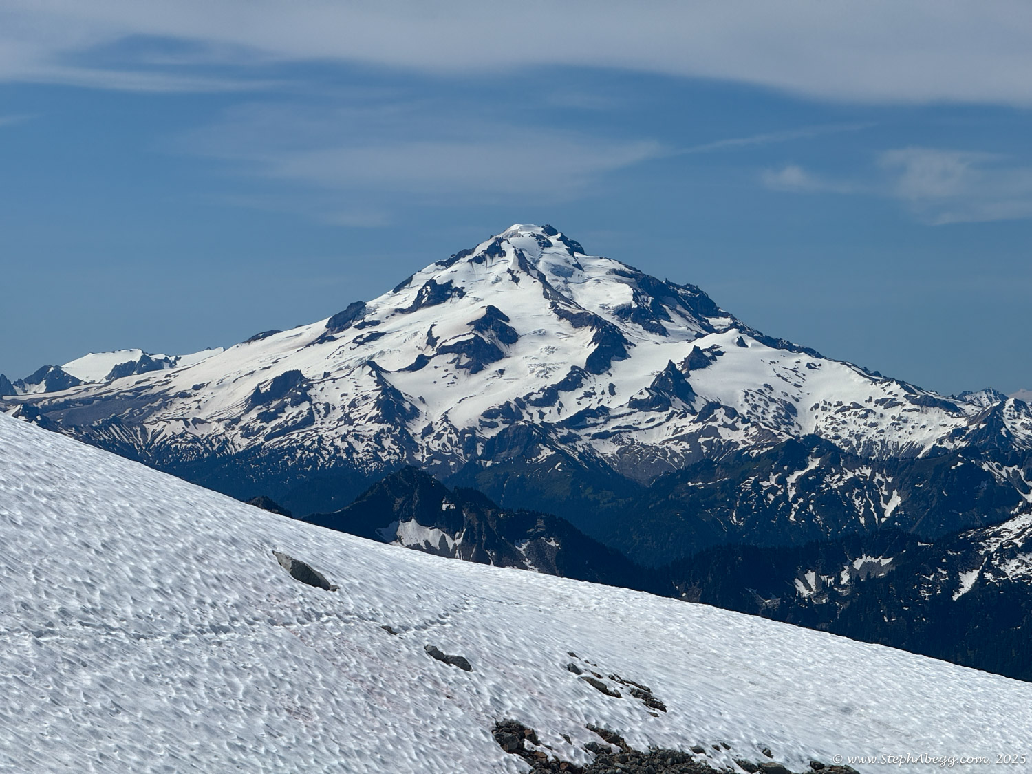
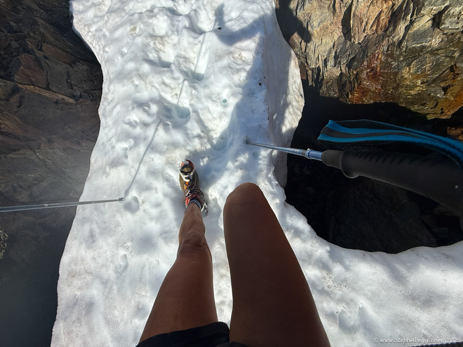
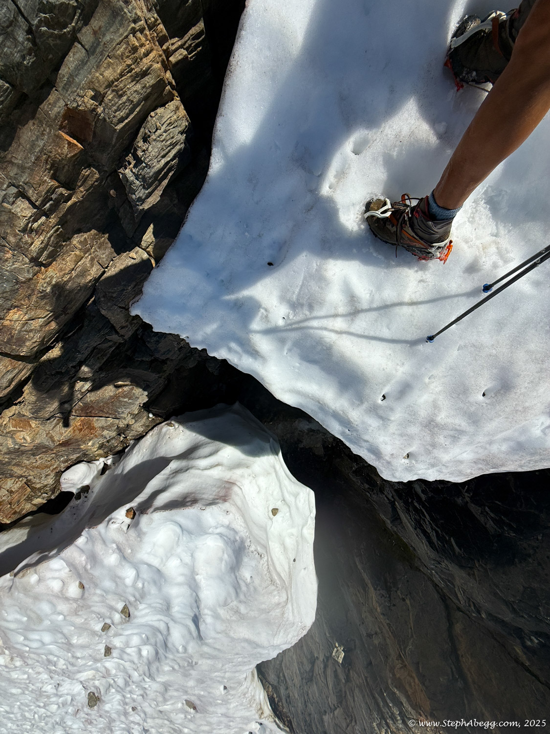
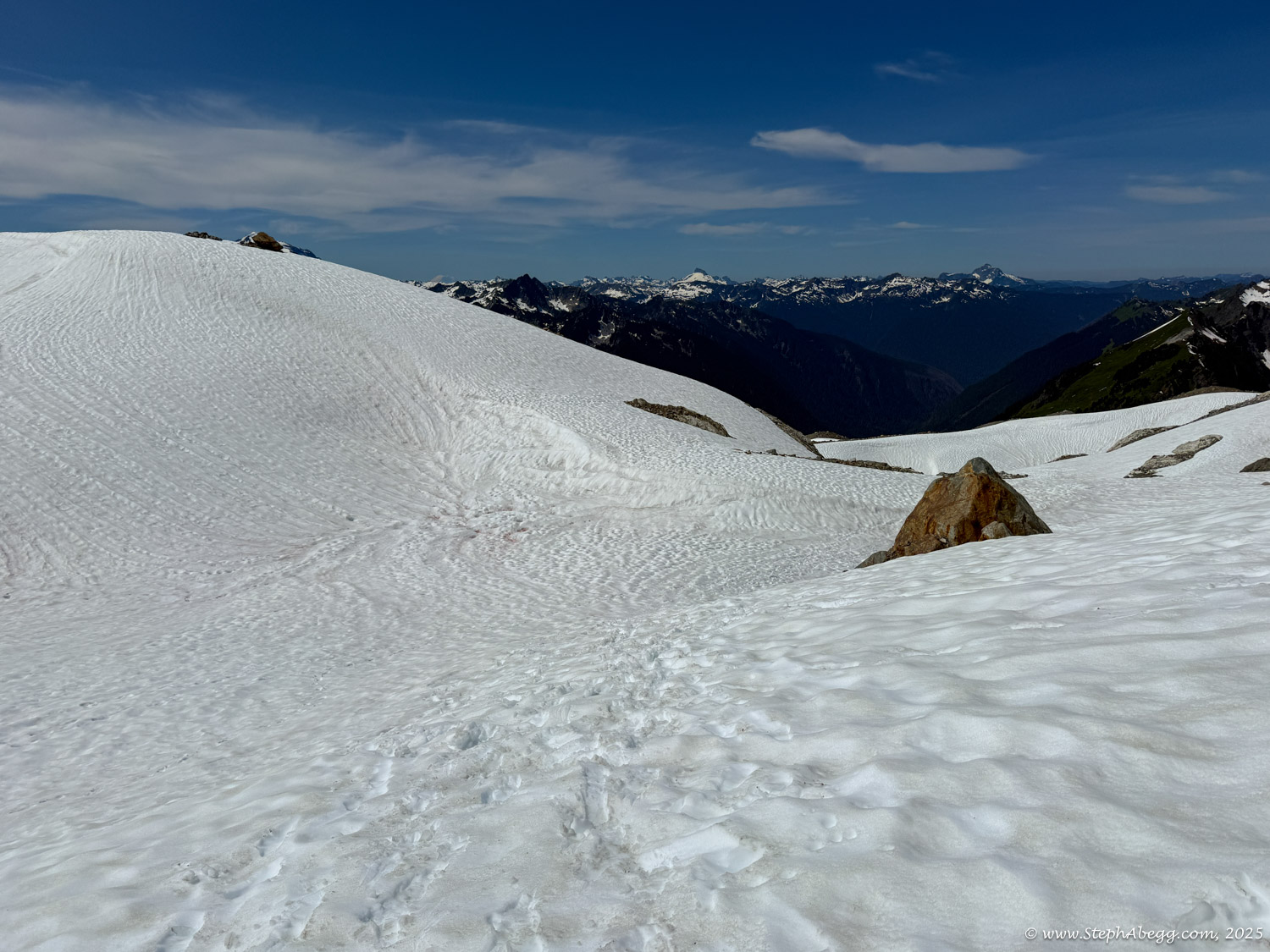
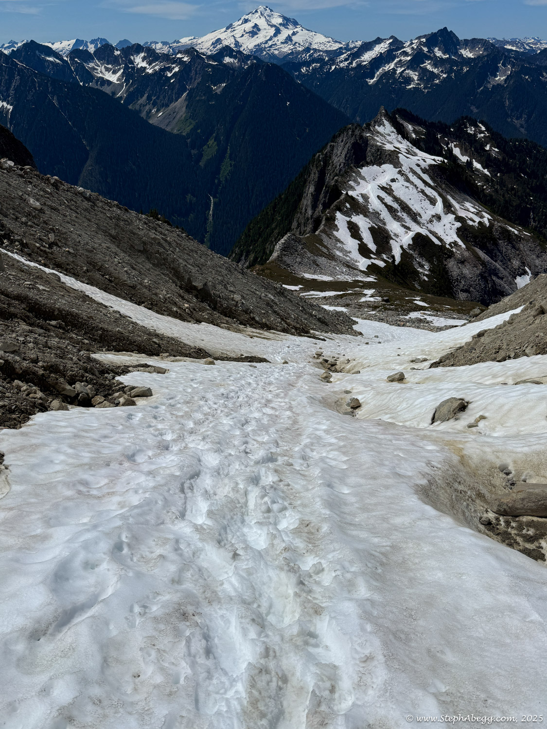
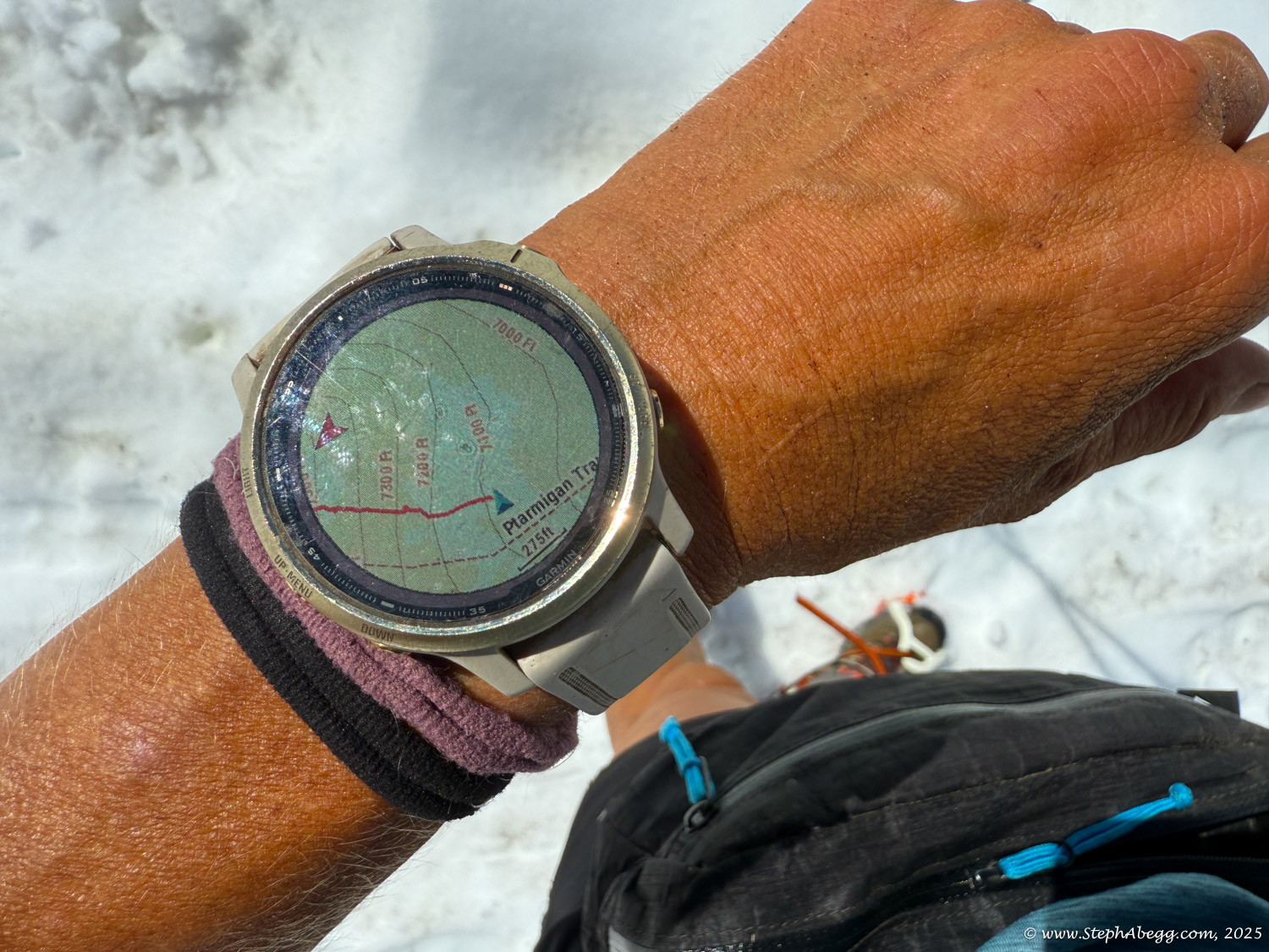
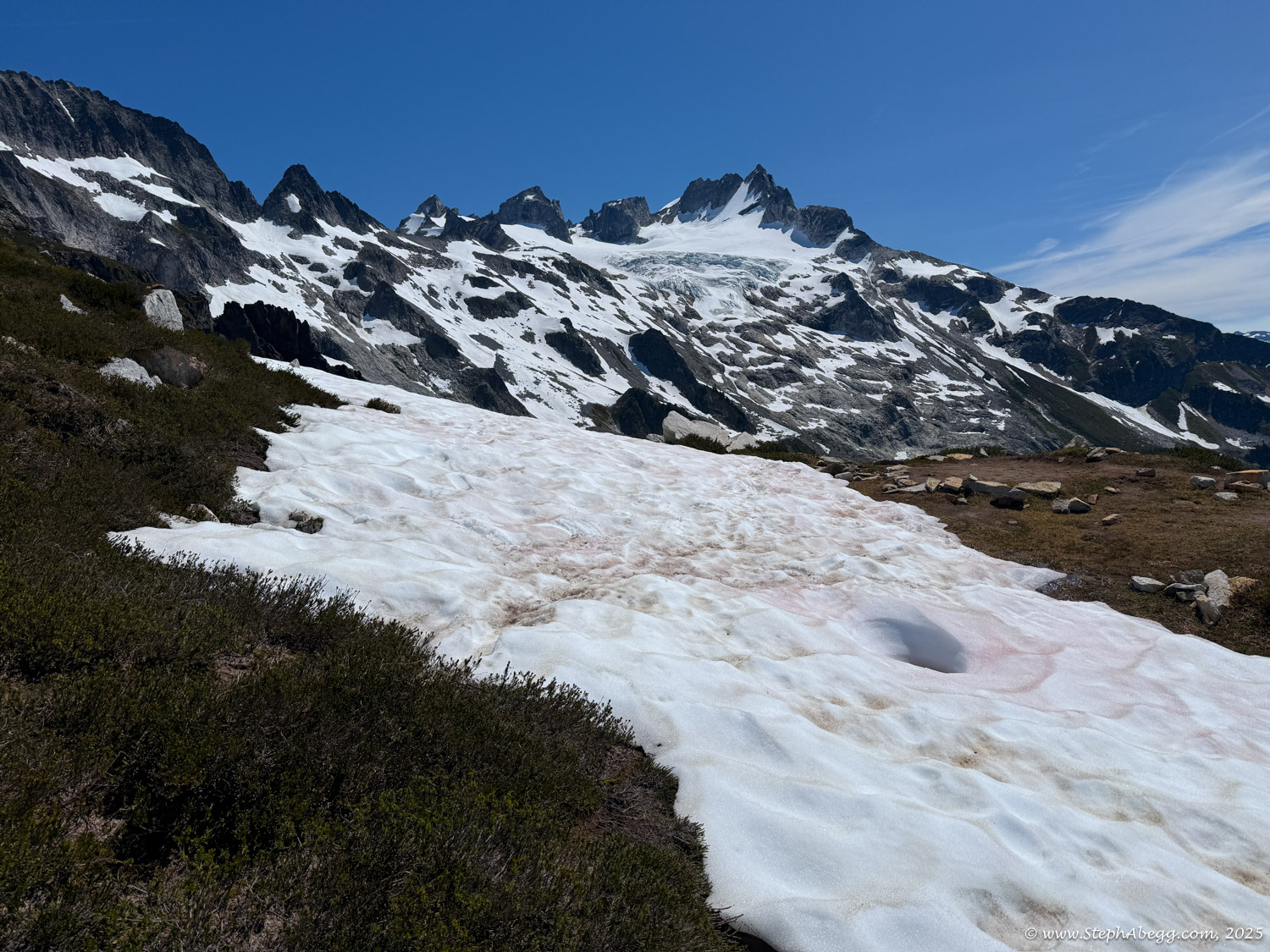
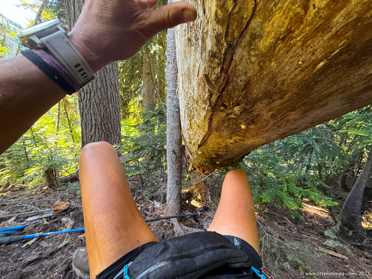
It was a magical day in the mountains. Early summer snow still blanketed much of the talus and boulder fields, making for smooth and efficient travel. The views were stunning at every turn. Starting in the dark meant I had firm, crunchy snow for much of the route—perfect for carefree cramponing while soaking in the scenery and reflecting on past experiences along the traverse. Several backpacking parties had passed through over the Fourth of July weekend, leaving tracks that I was able to follow the whole way. That said, with prior experience on the route and a GPS line on my watch, navigation was straightforward. My only human interactions were brief: I passed a couple of tents at Kool Aid Lake, exchanged greetings with a party eating breakfast at White Rock Lakes, chatted with another descending Itswoot Ridge, and passed several heavily laden hikers on the long exit along the Downey Creek Trail.
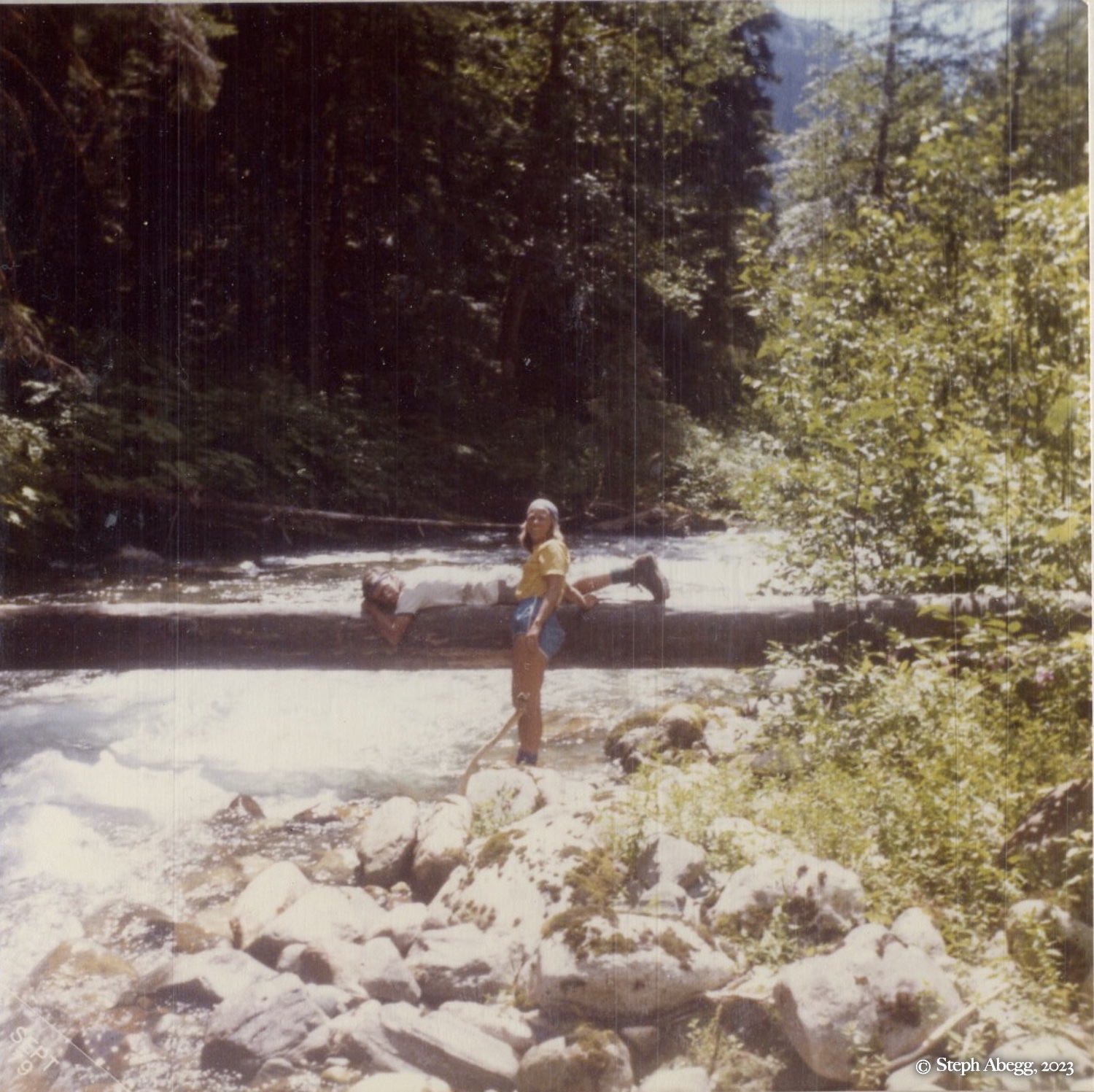
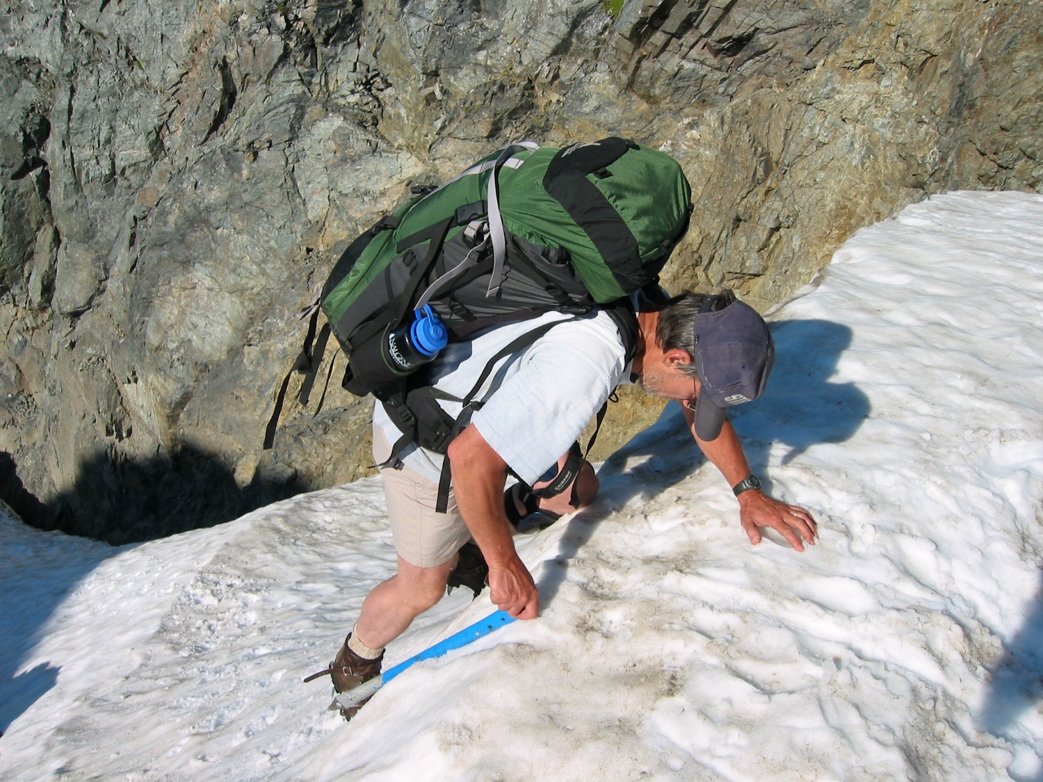
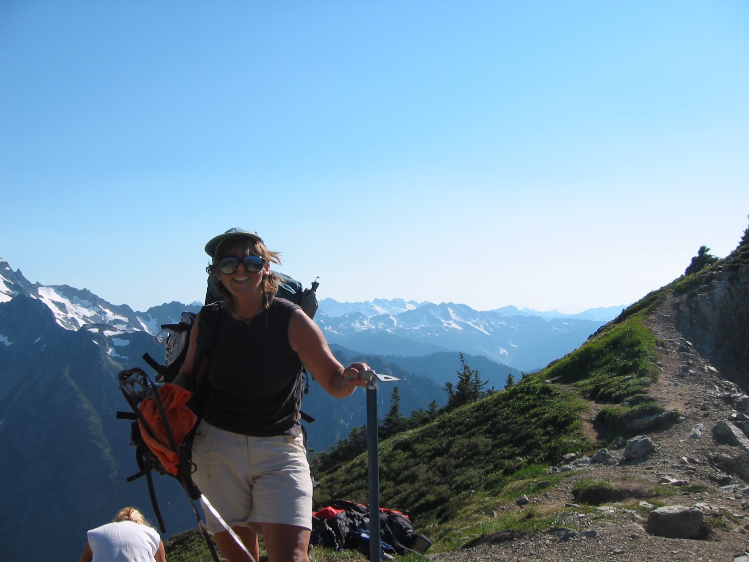
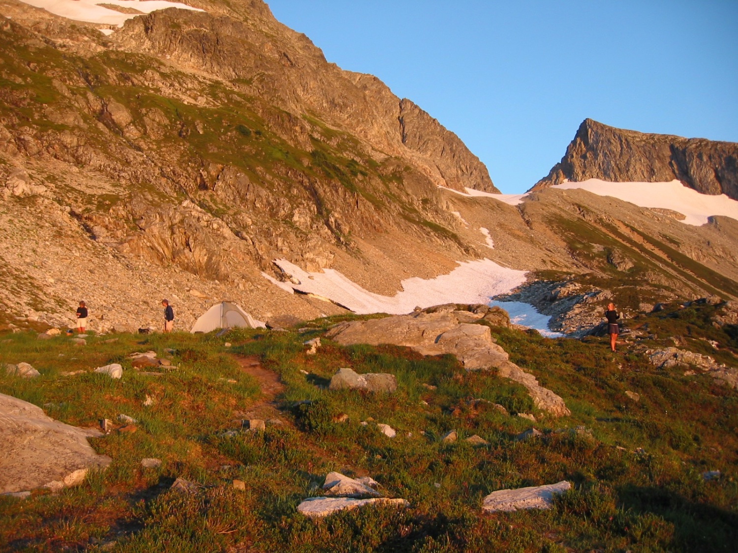
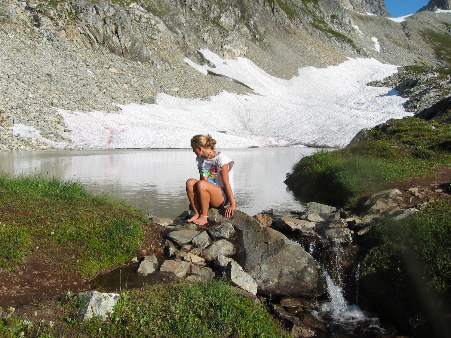
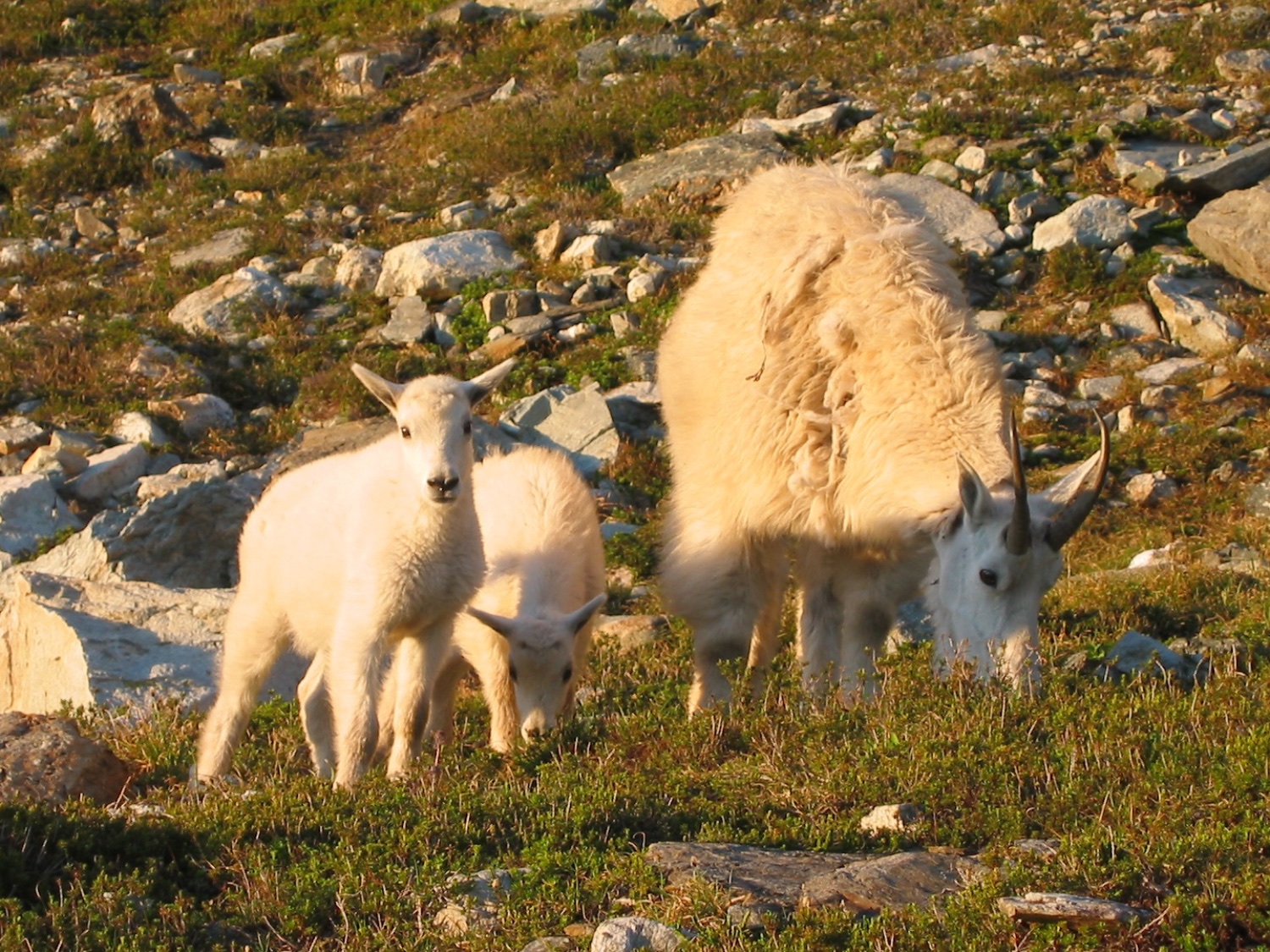
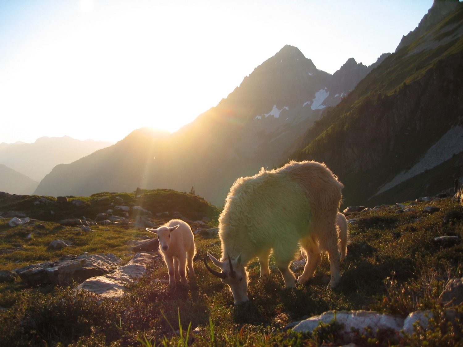
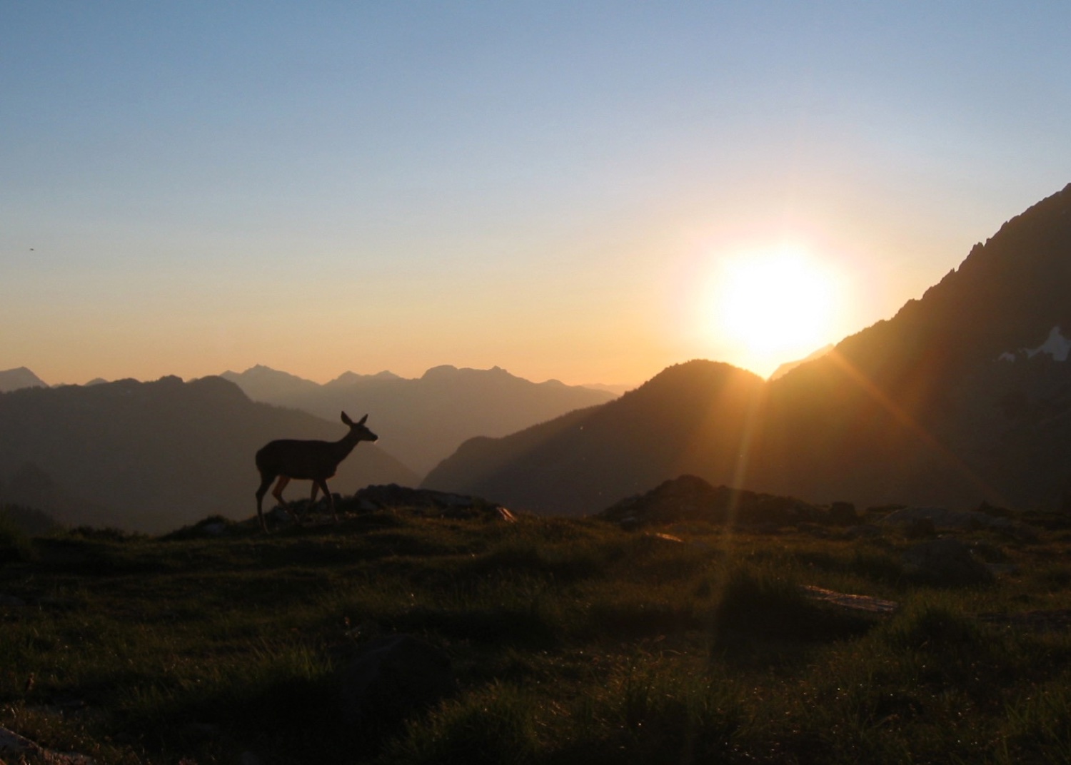
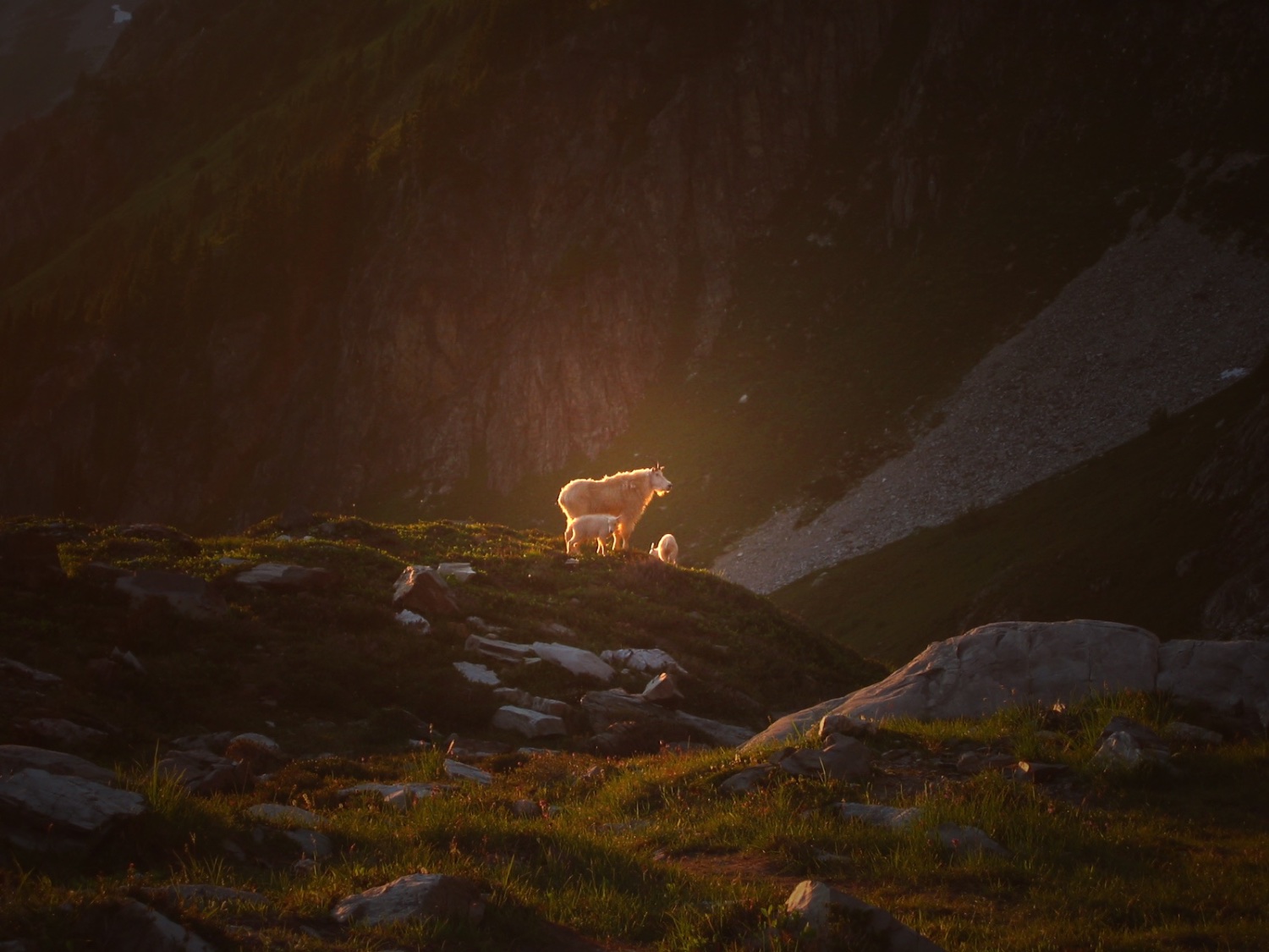
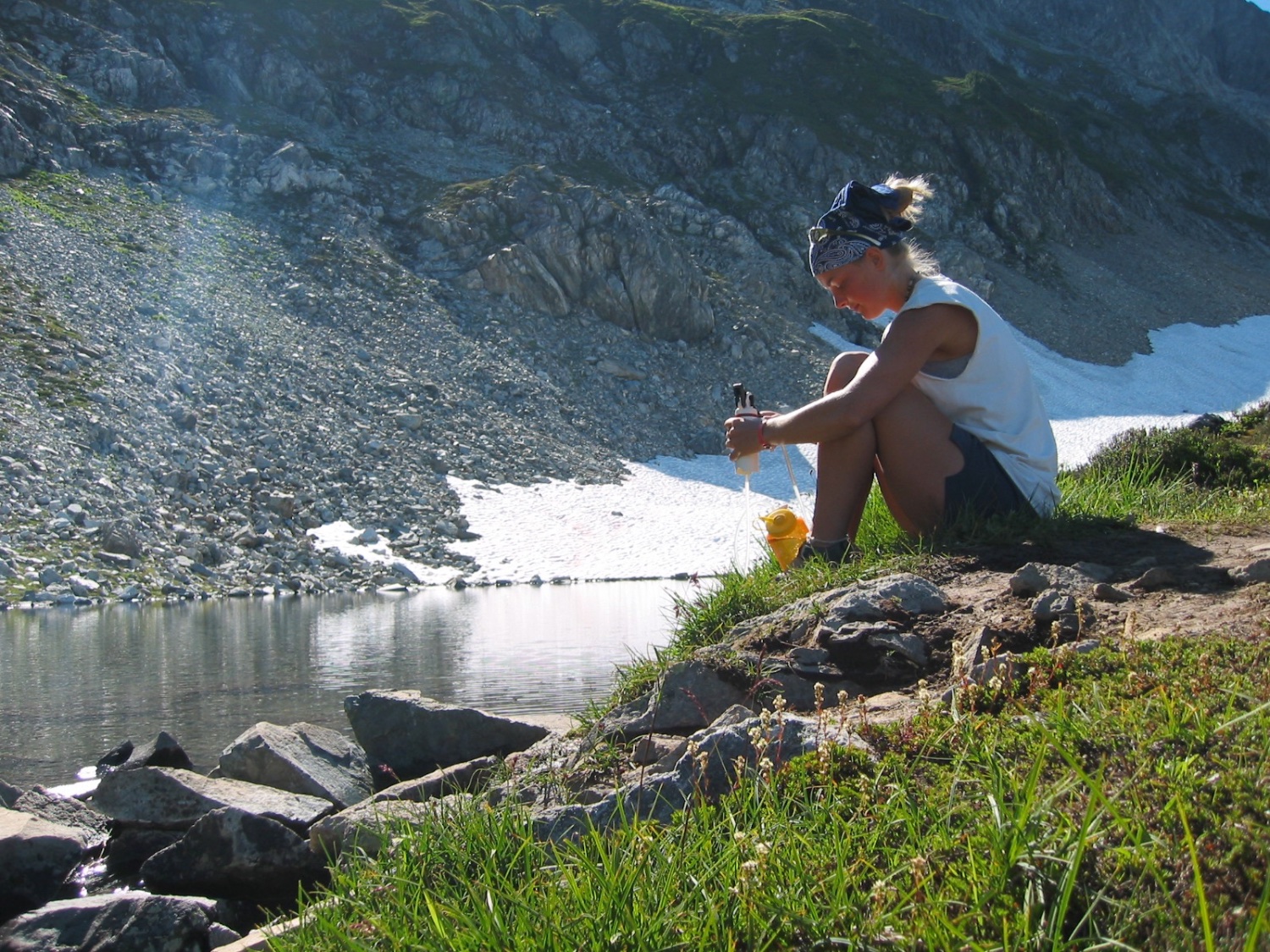
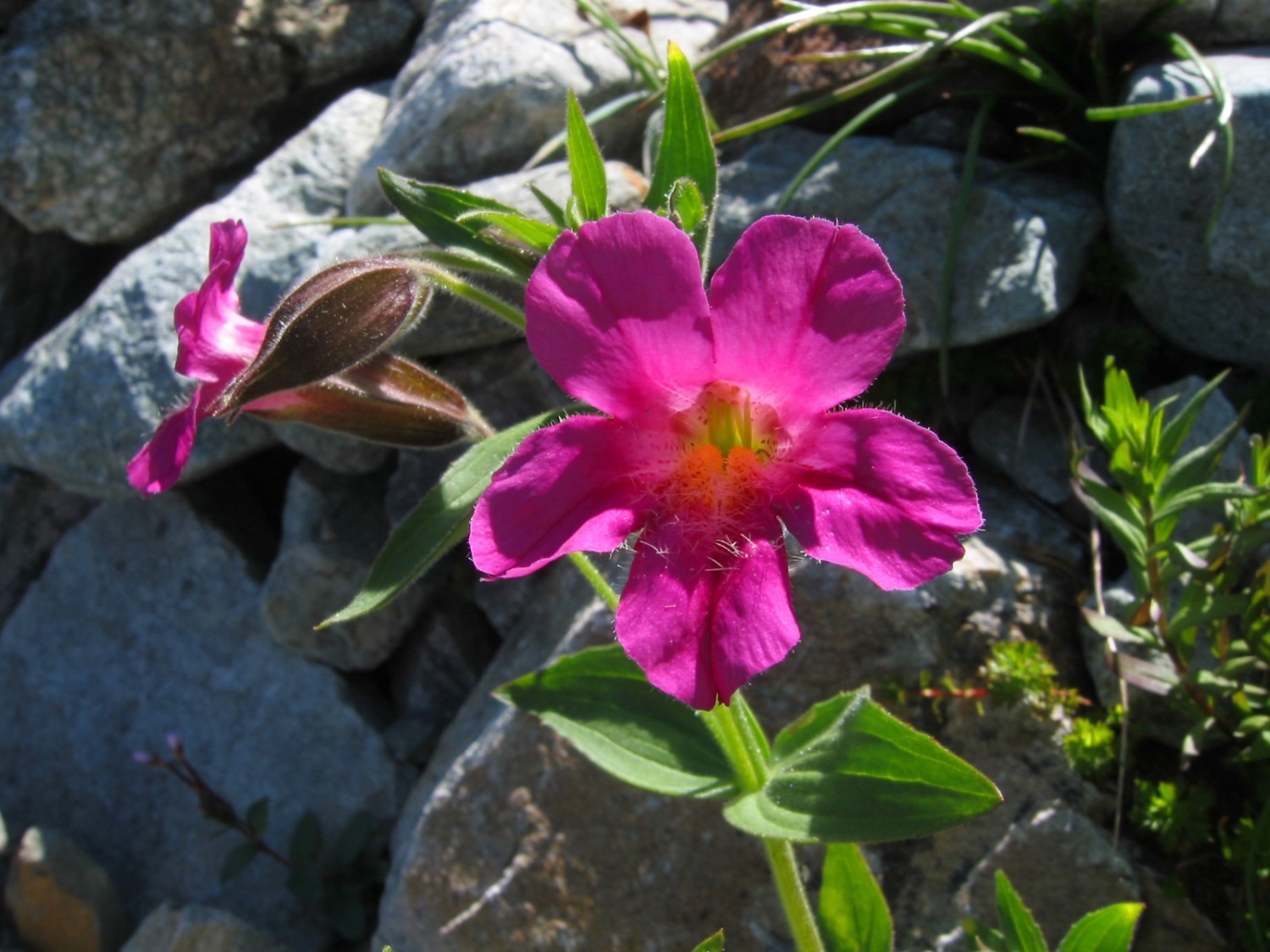
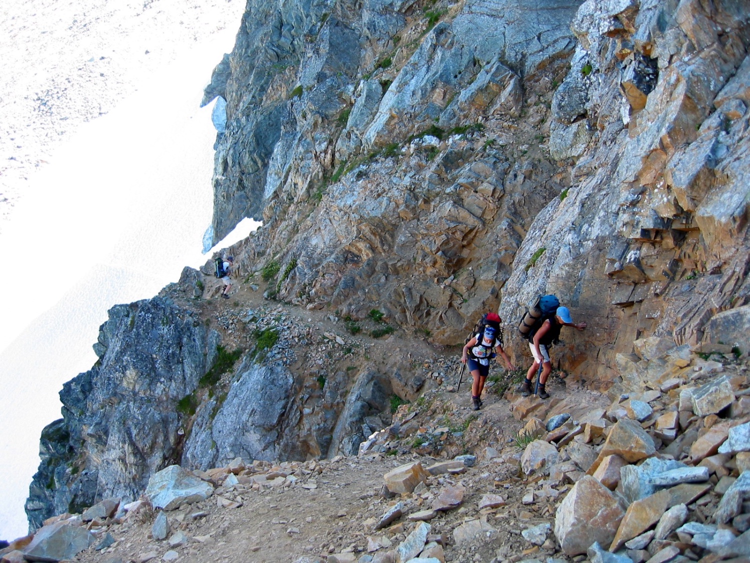
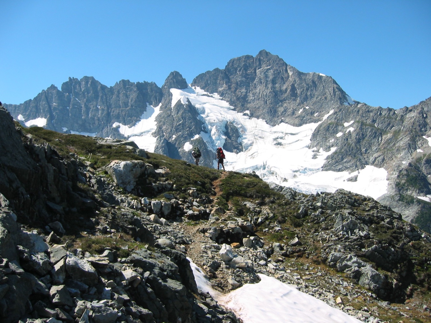
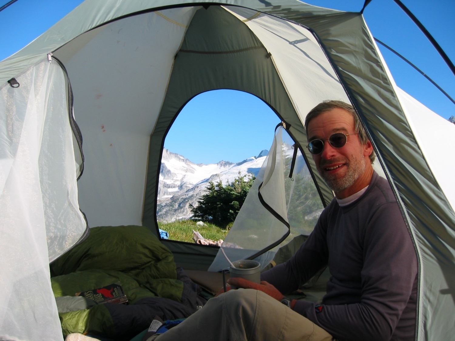
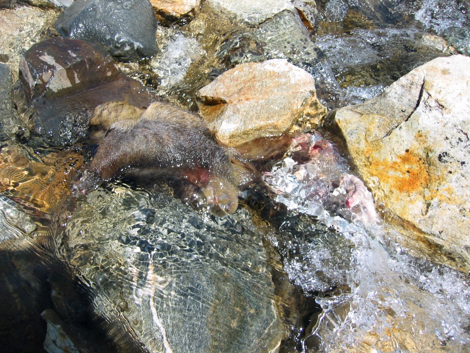
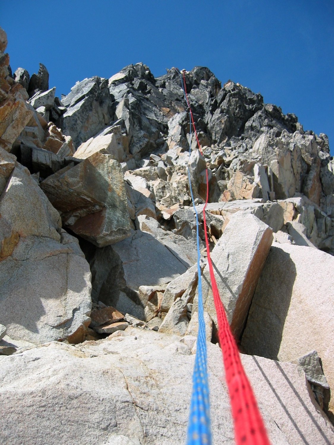
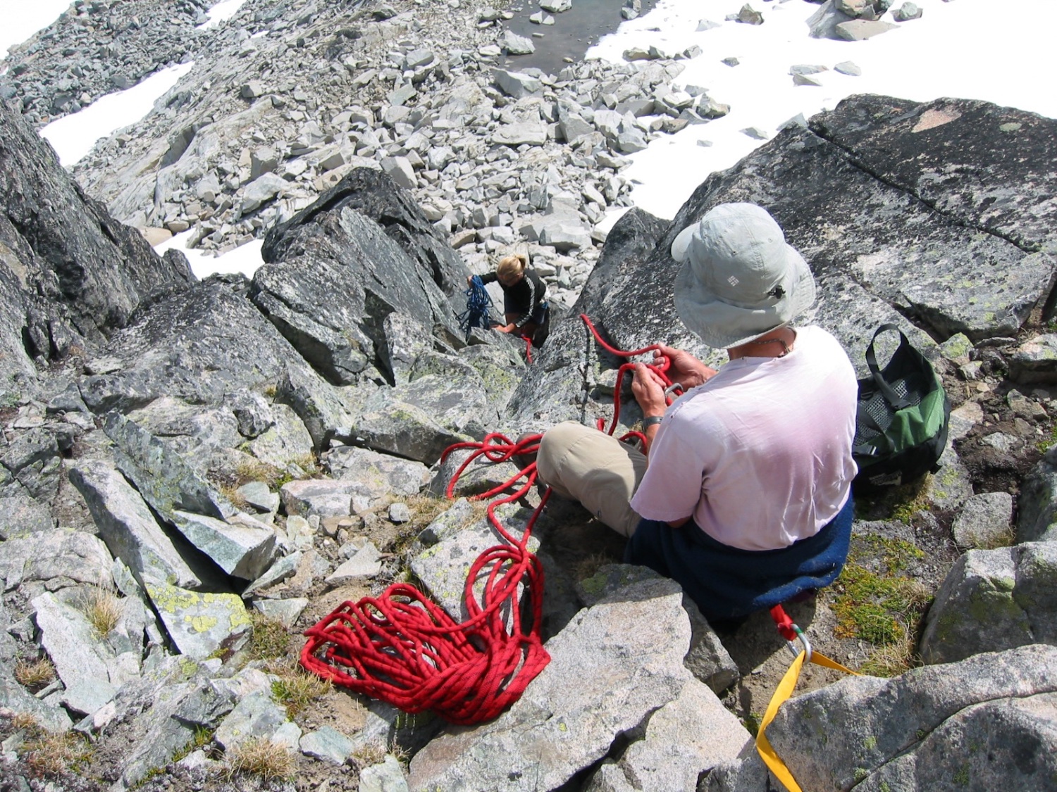
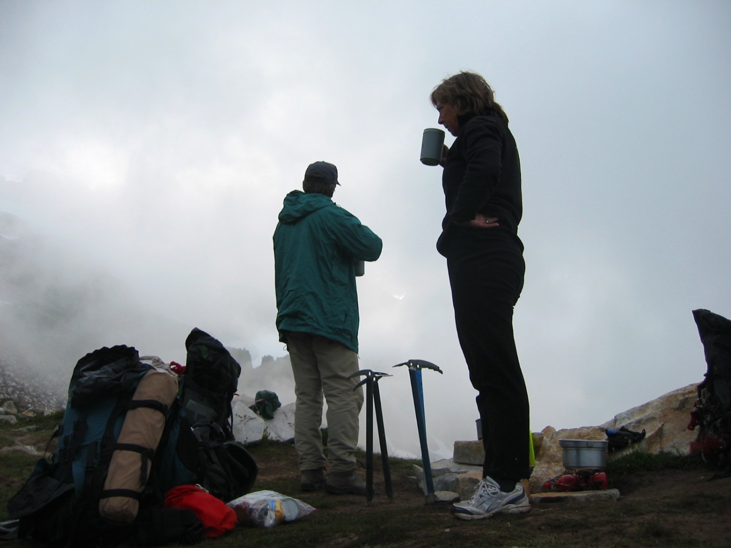
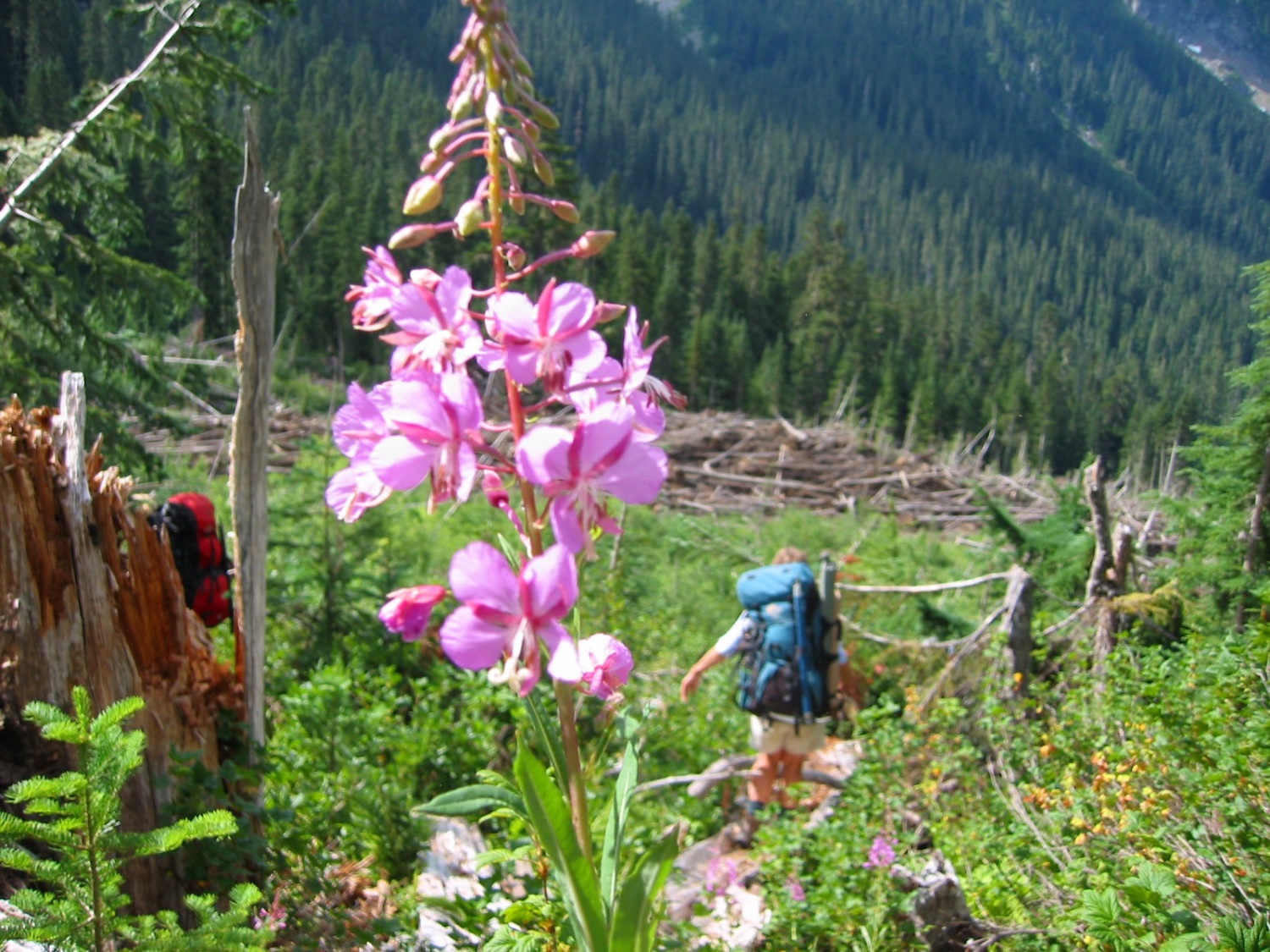
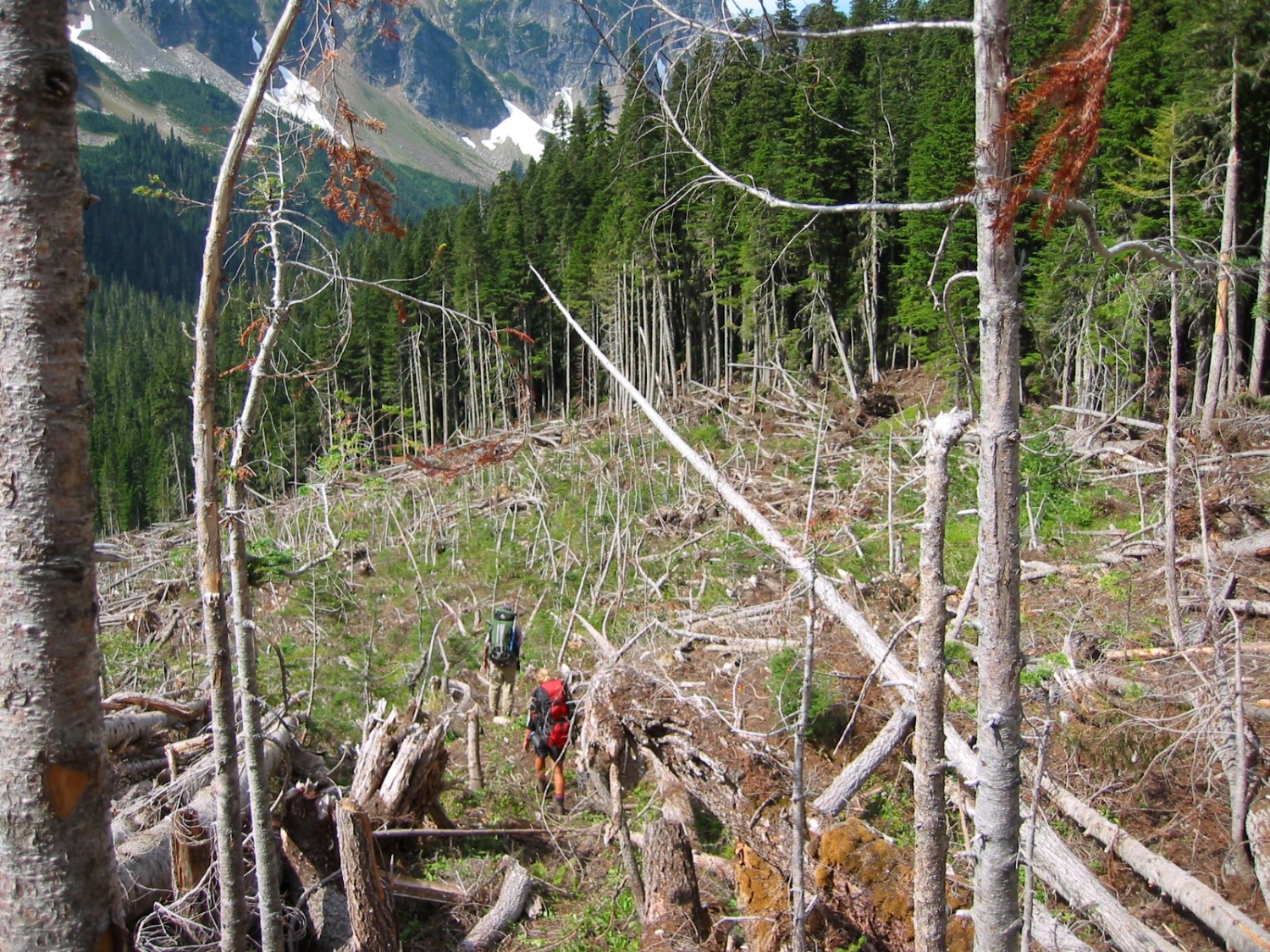
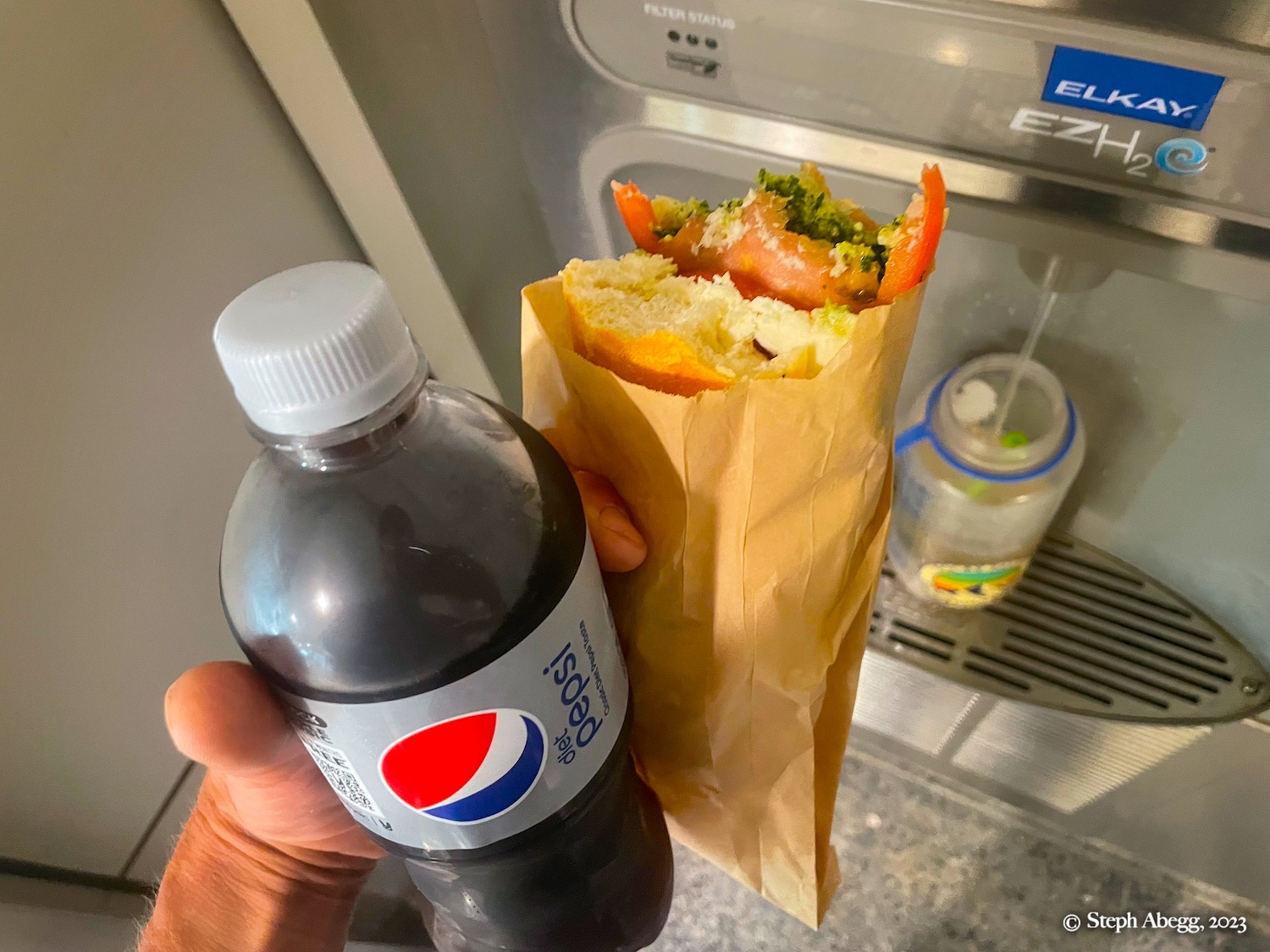
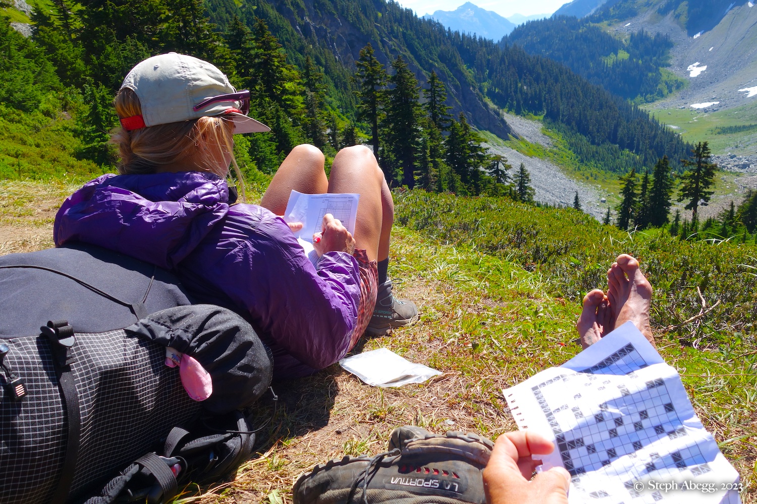
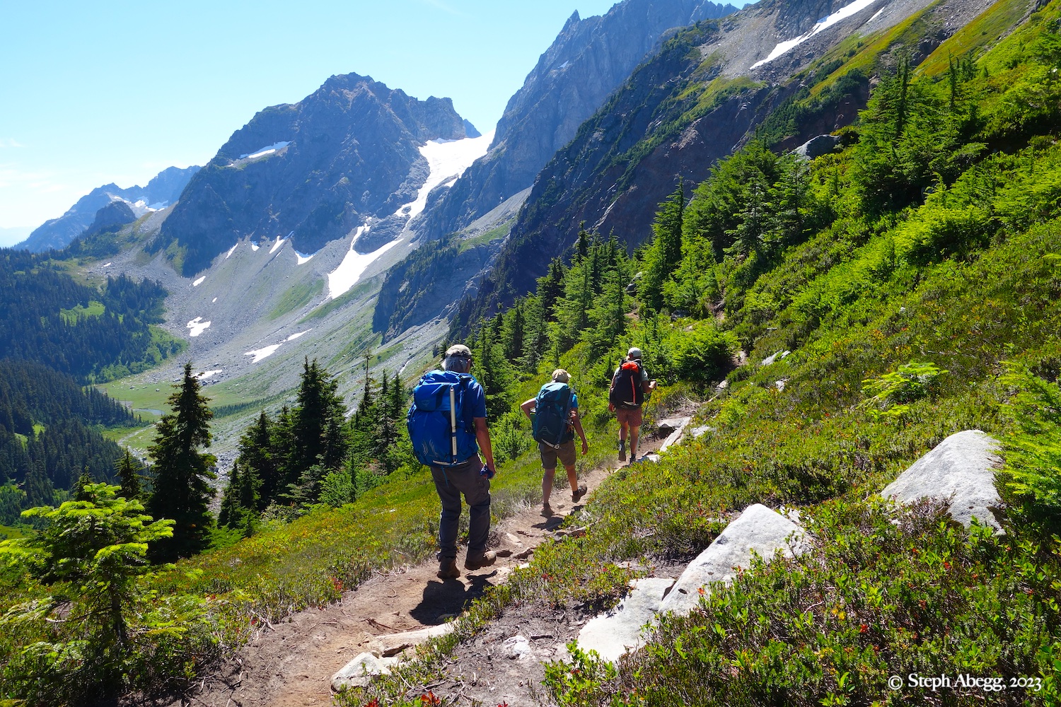
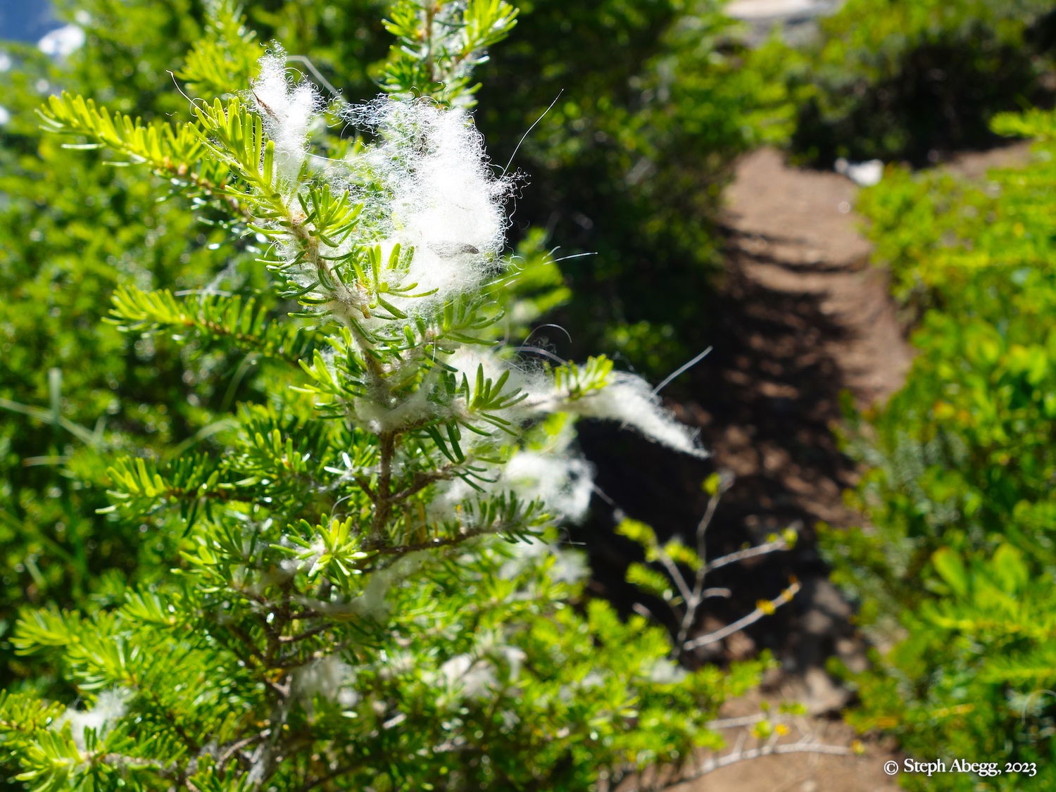
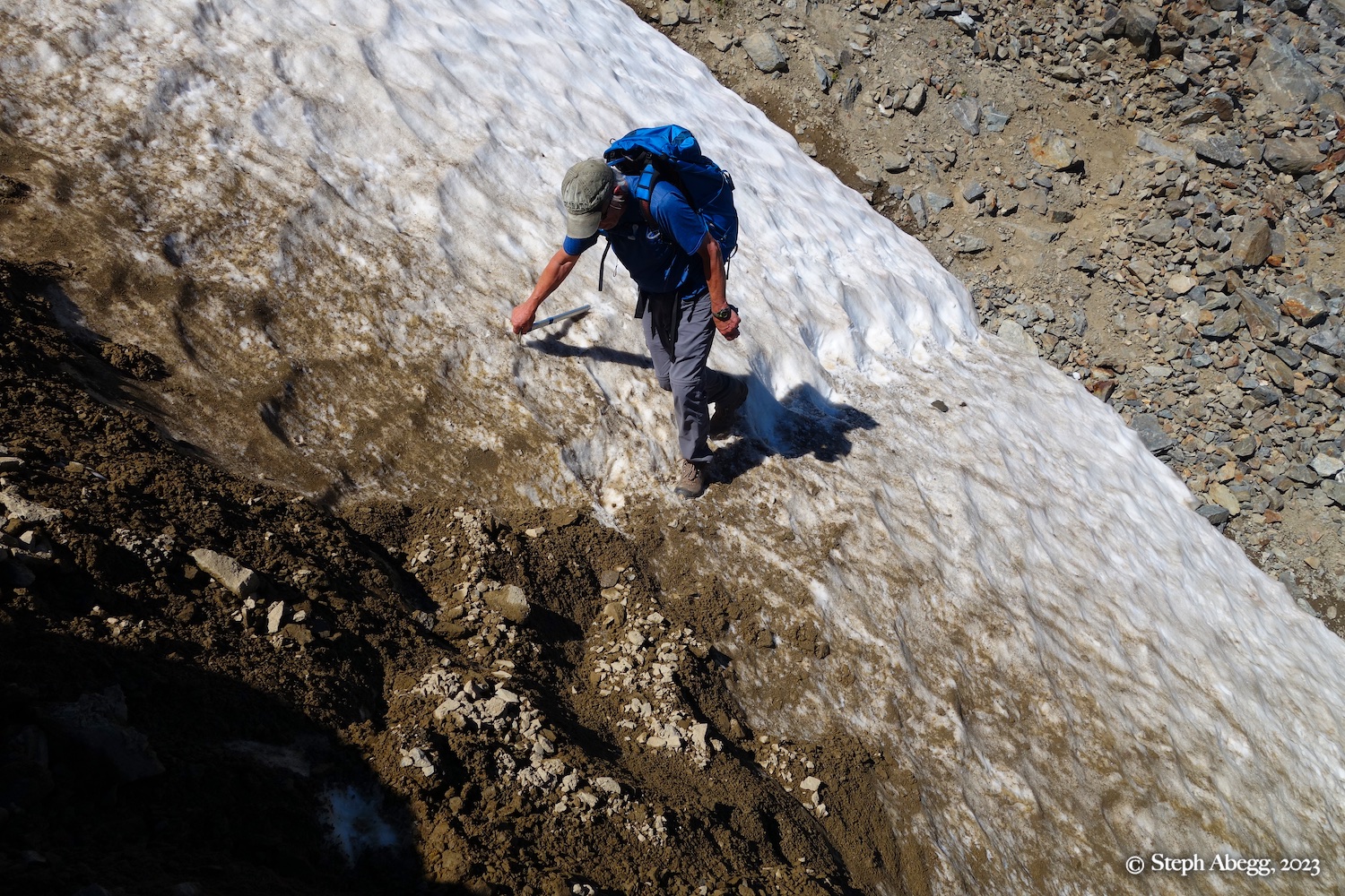
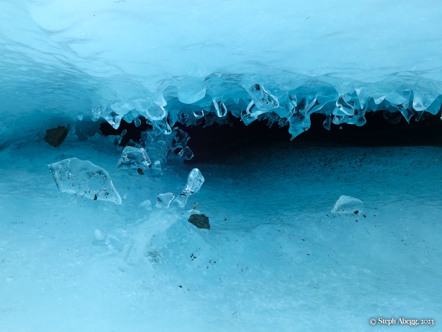
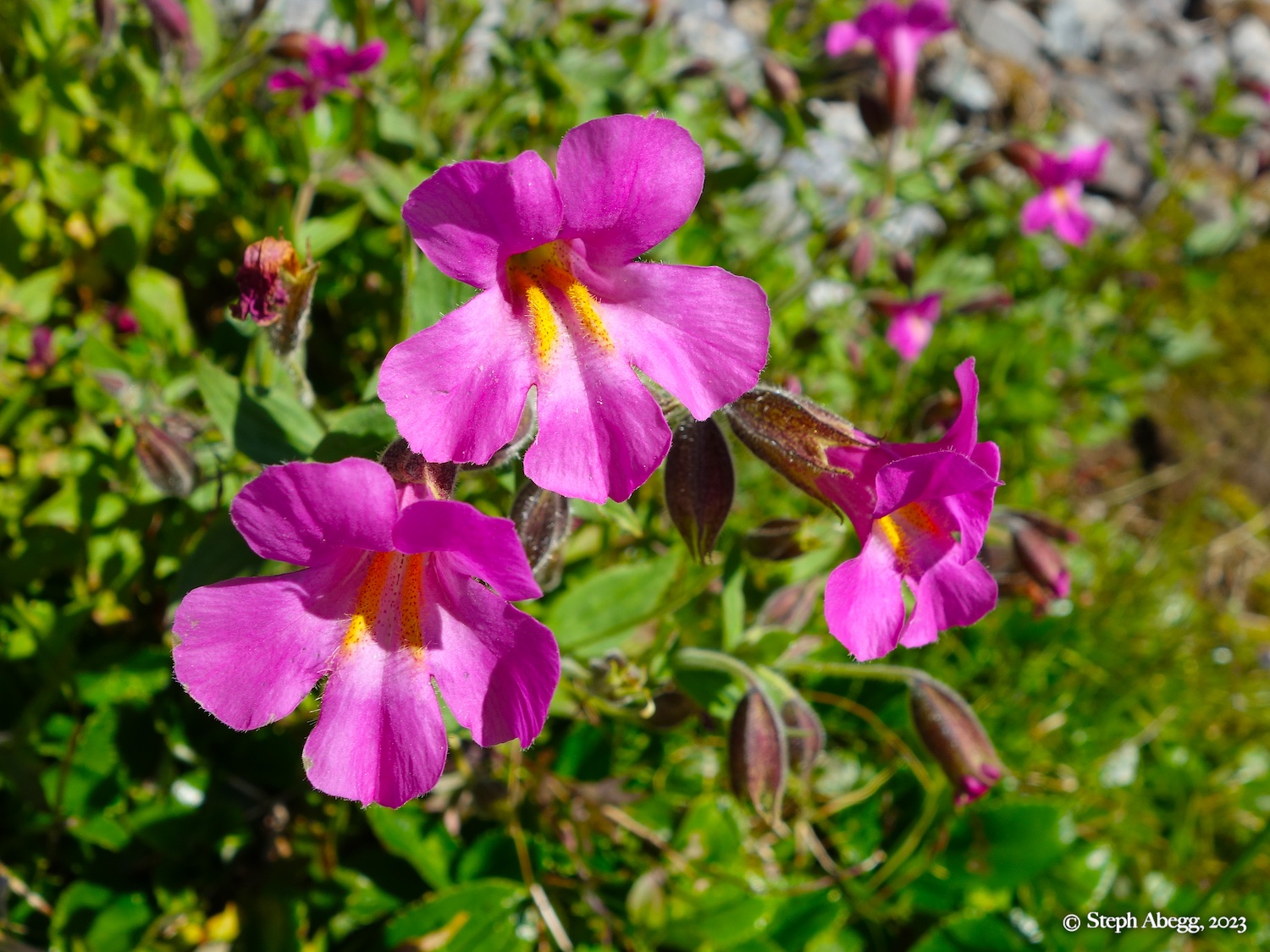
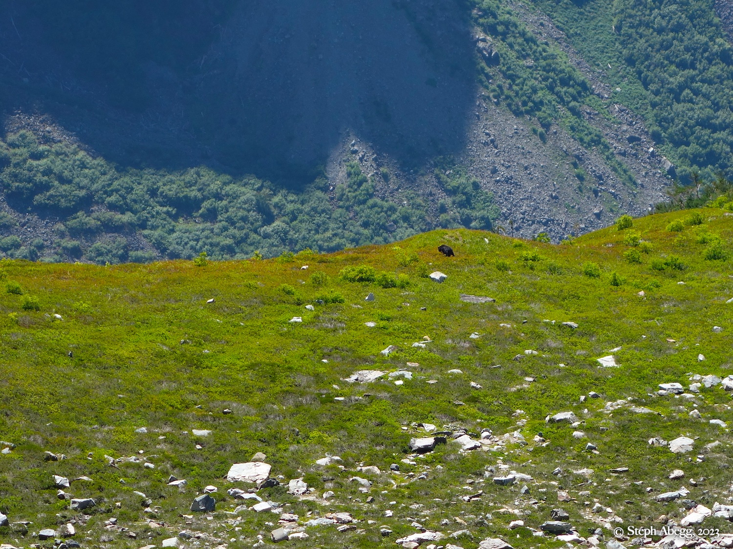
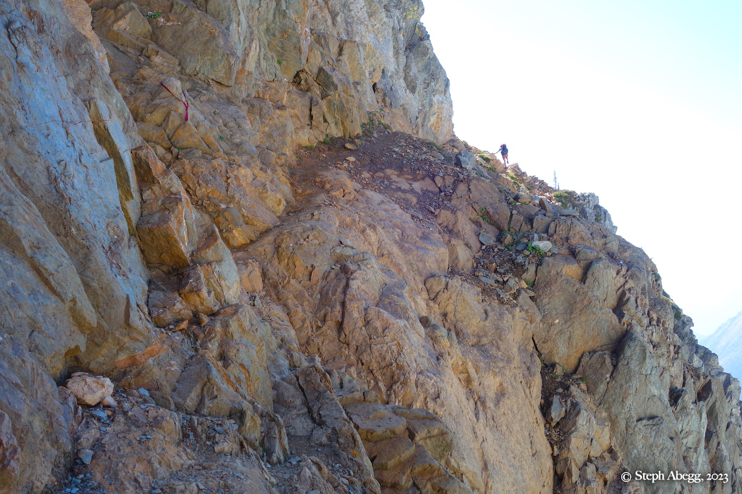
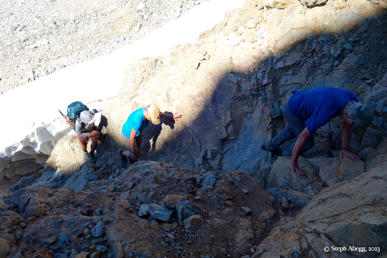
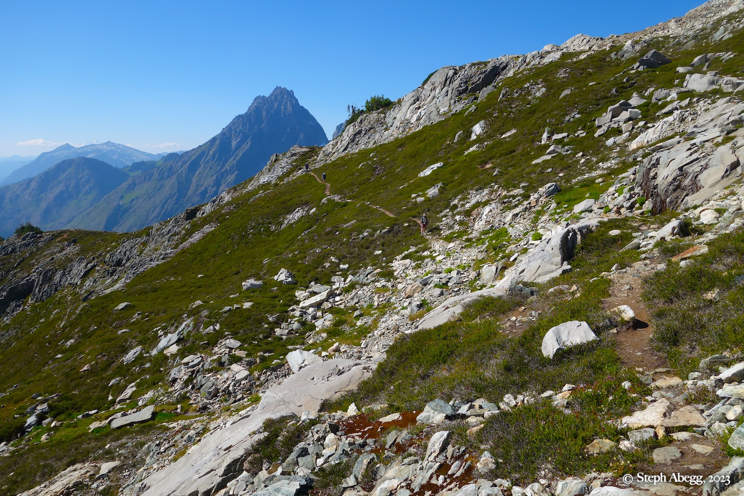
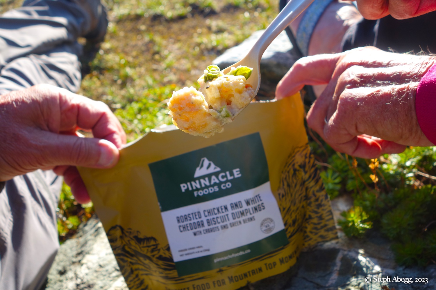
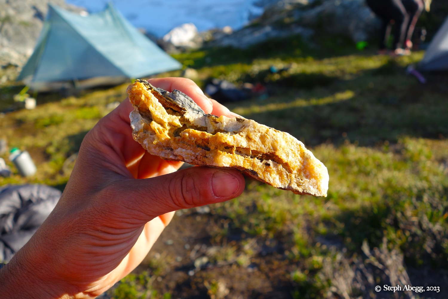
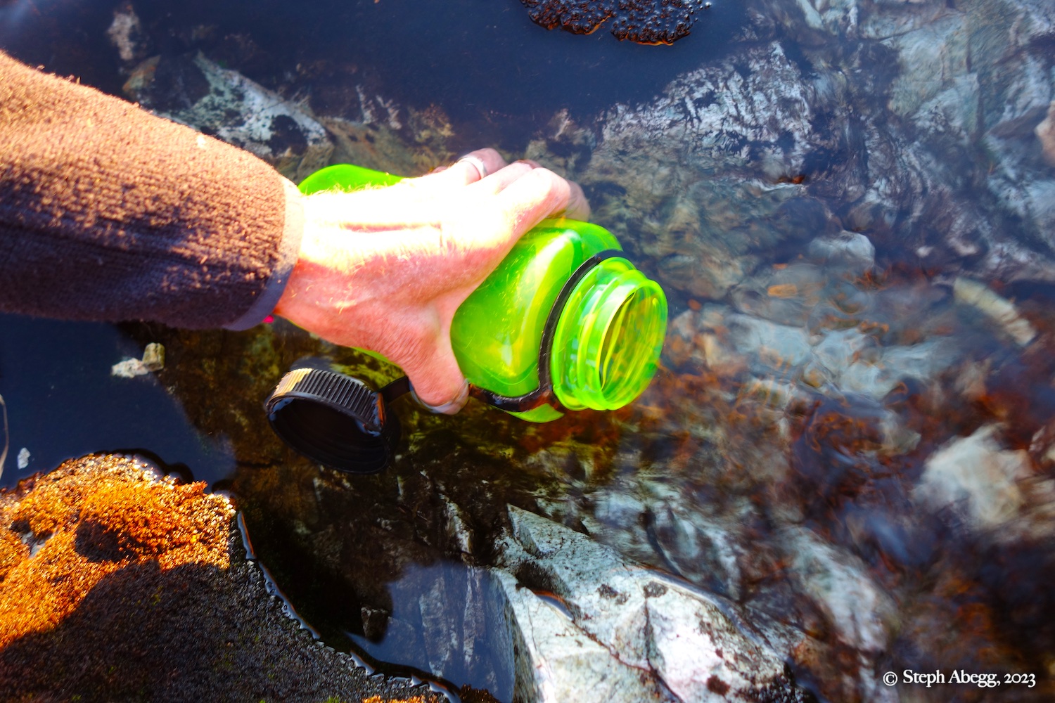
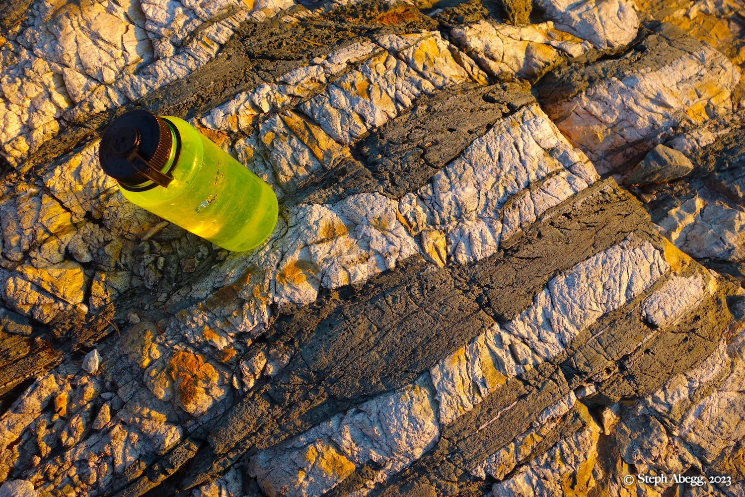
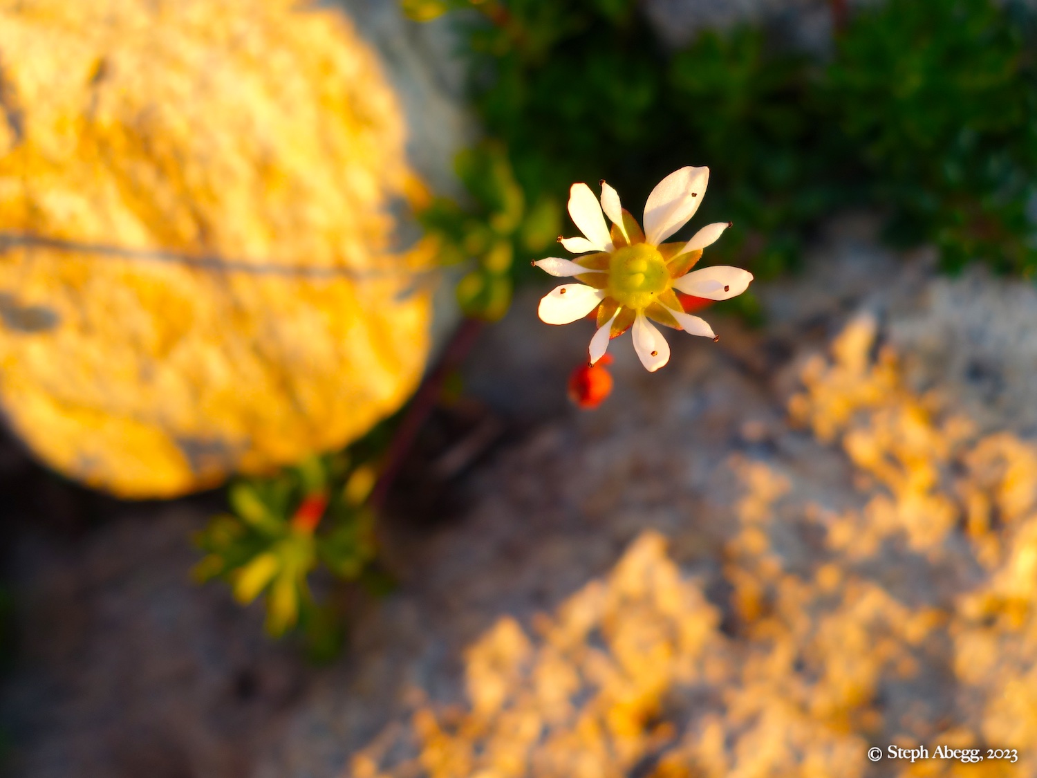
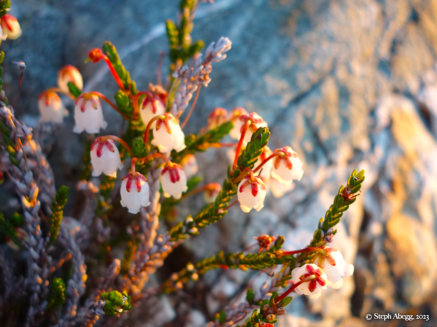
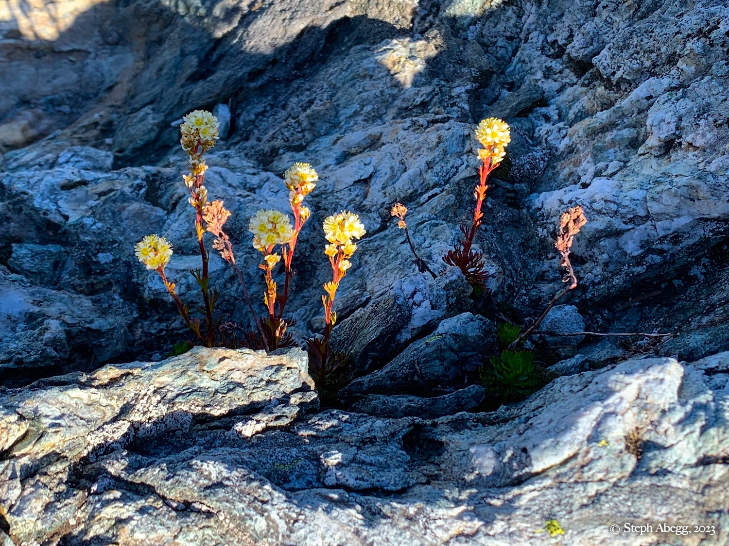
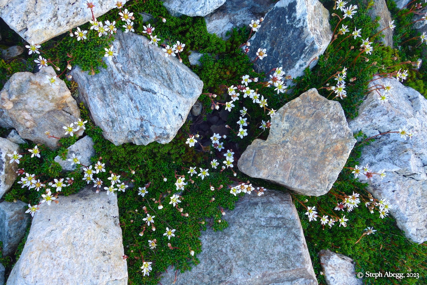
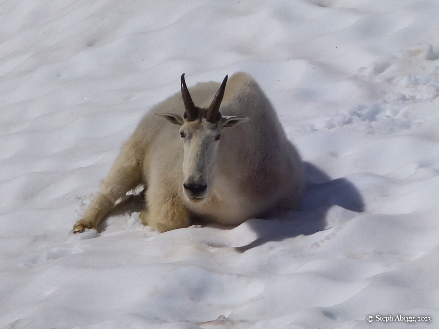
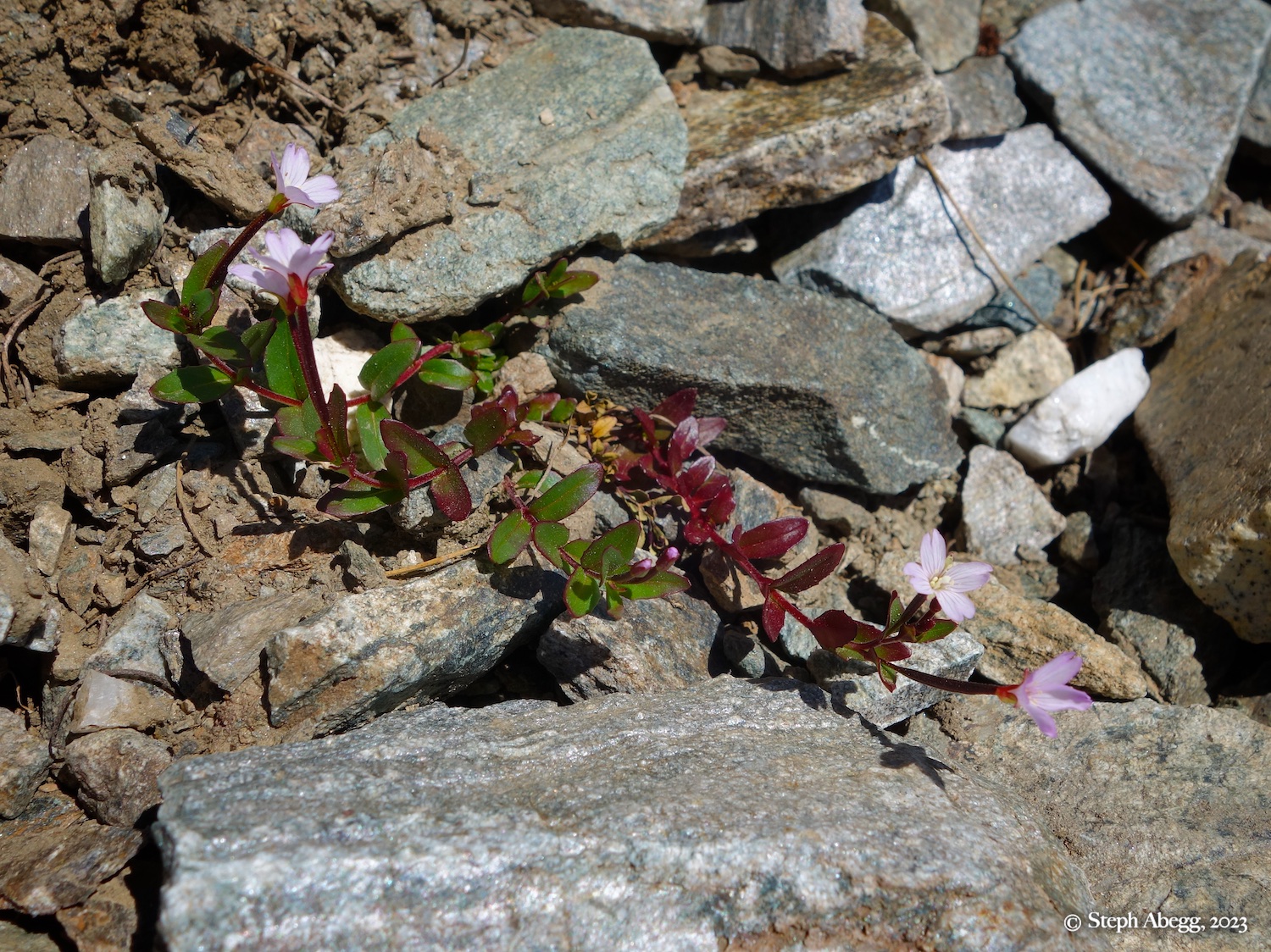
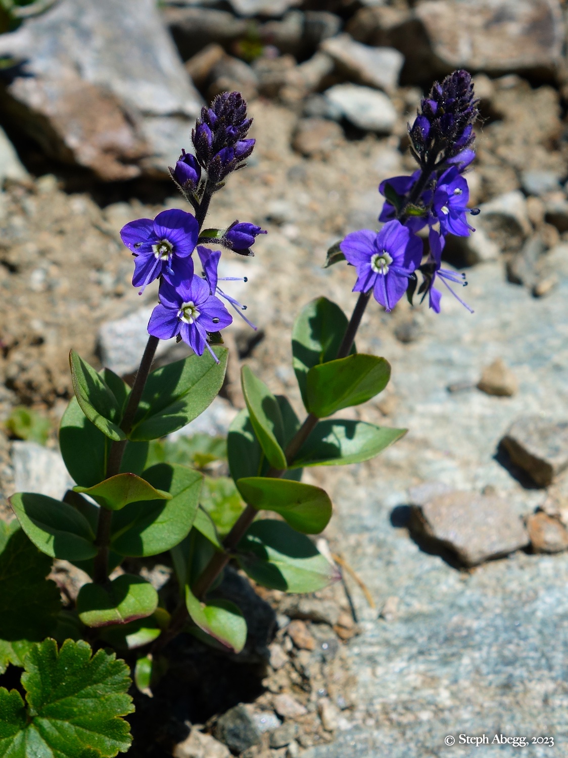
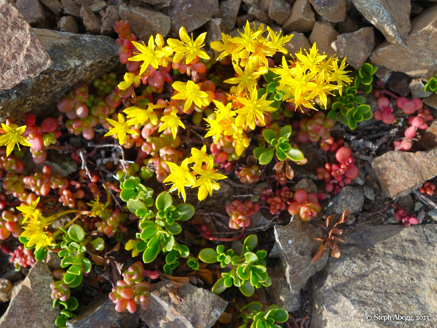
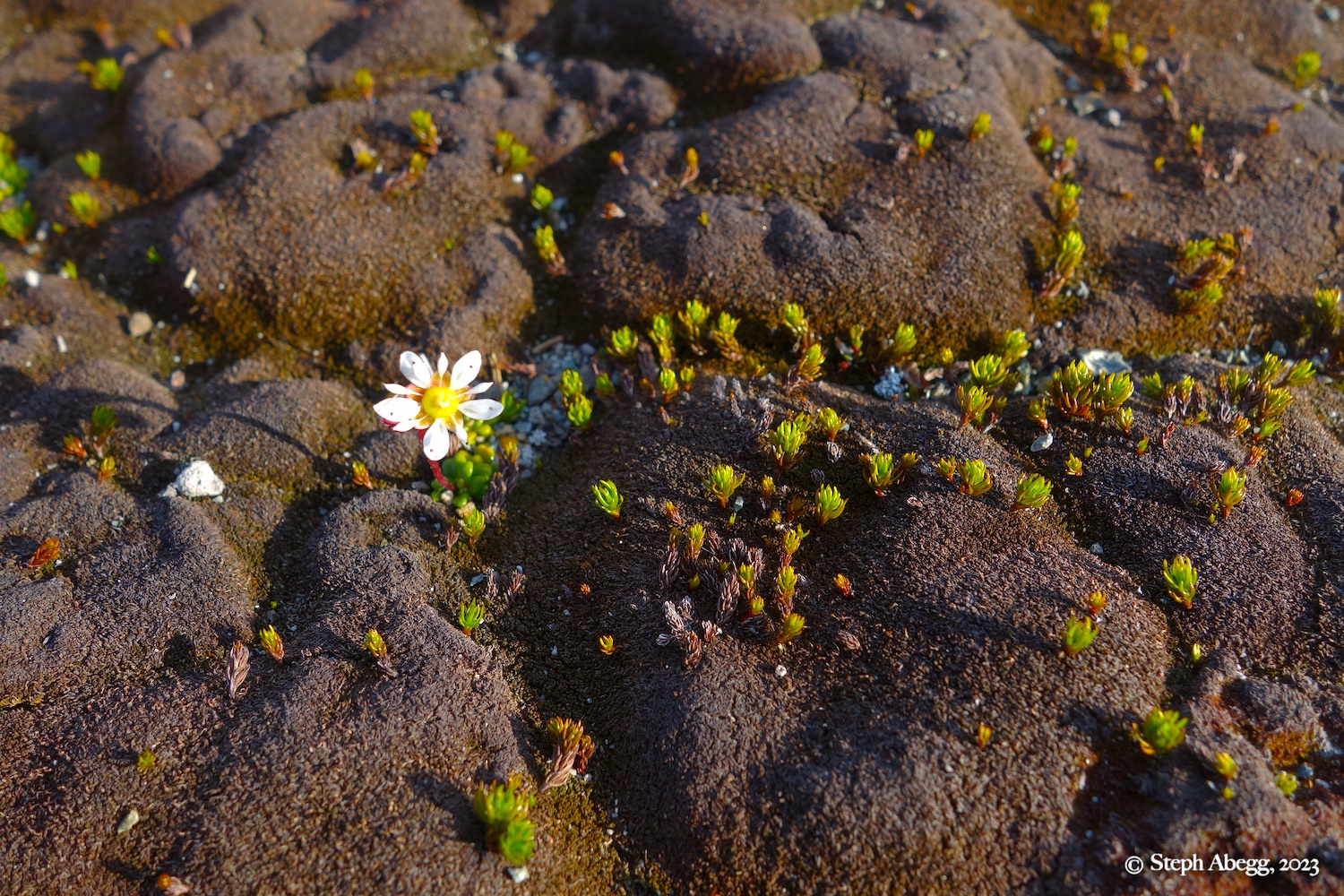
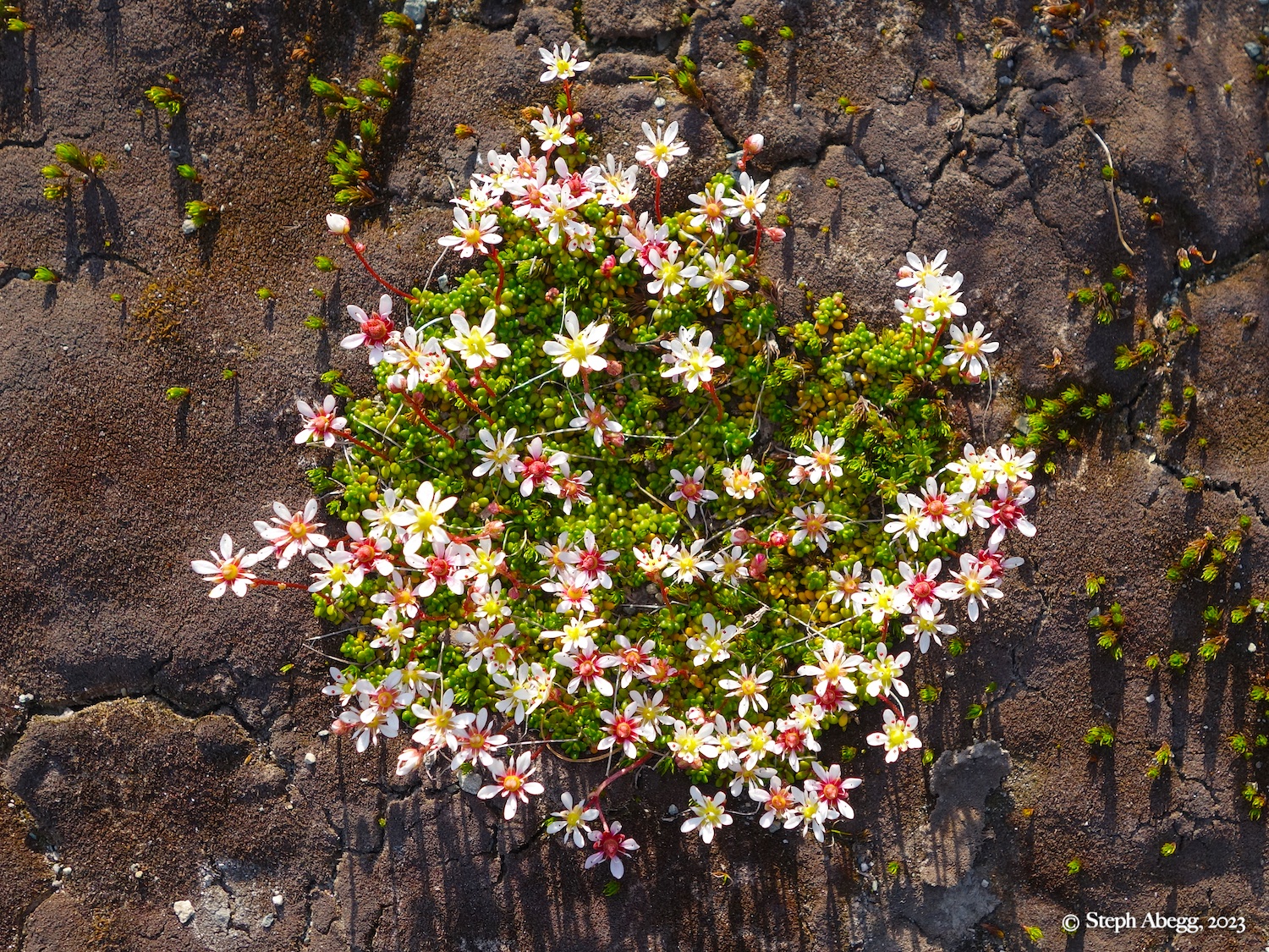
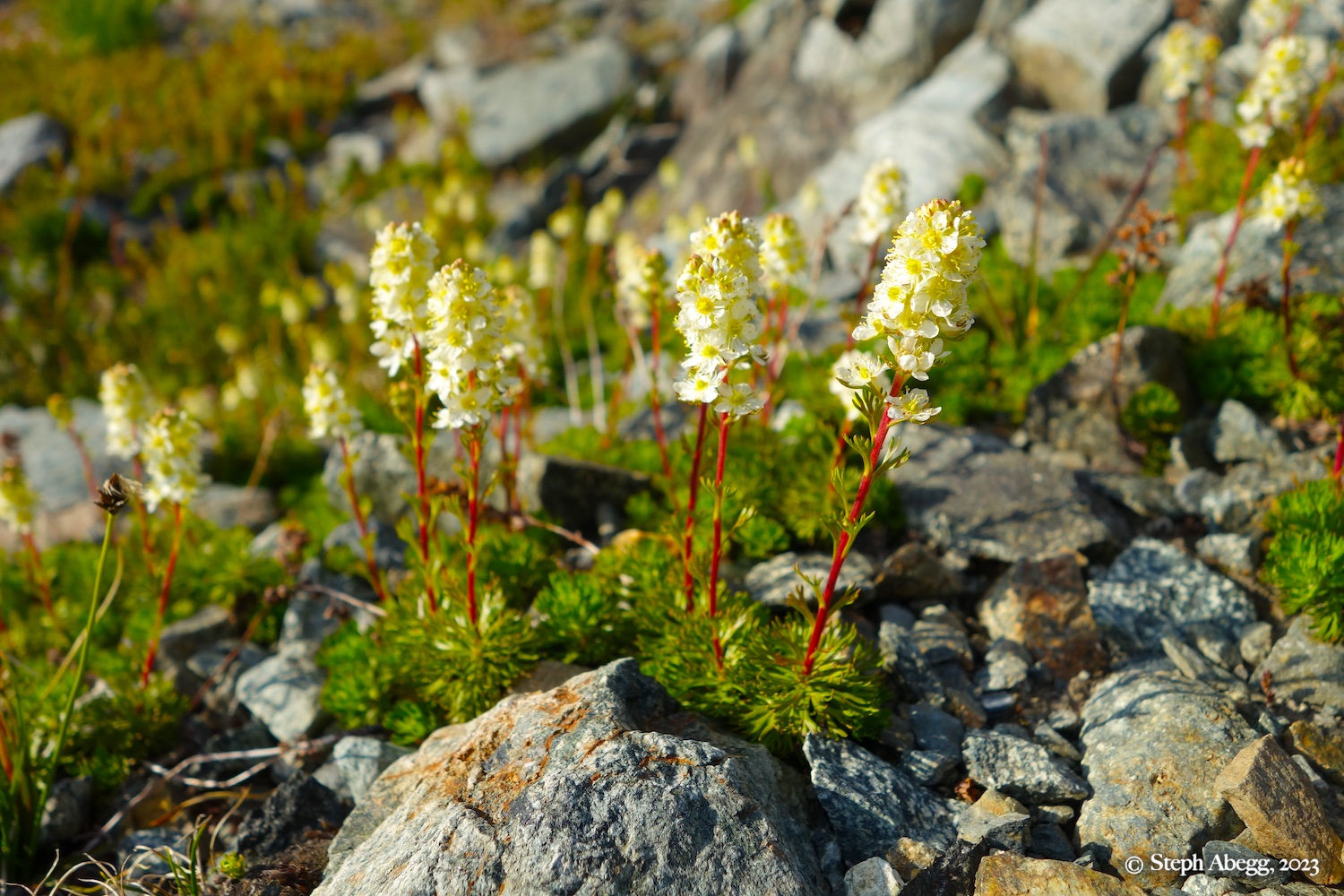
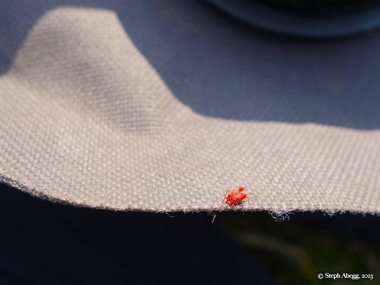
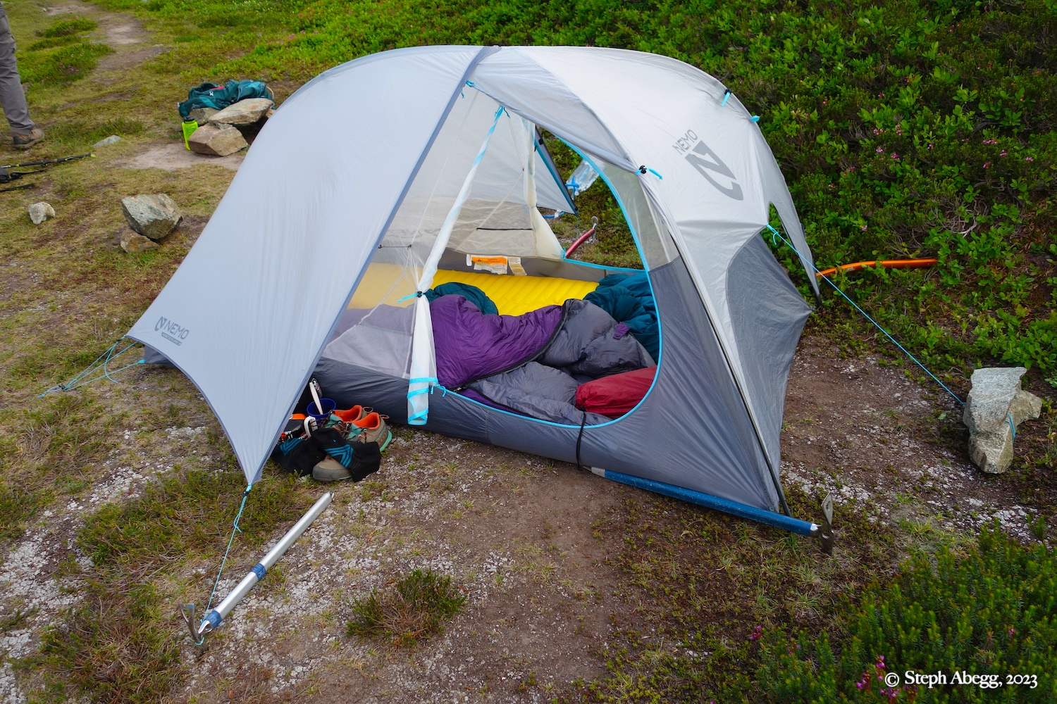
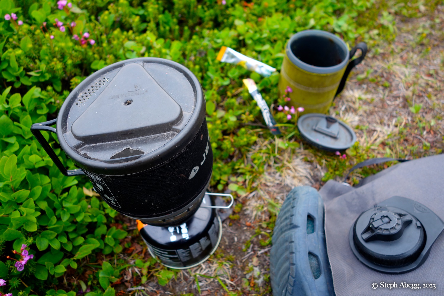
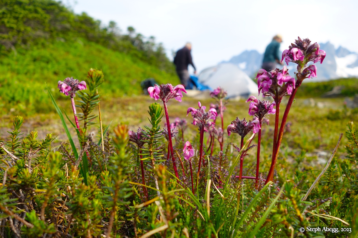
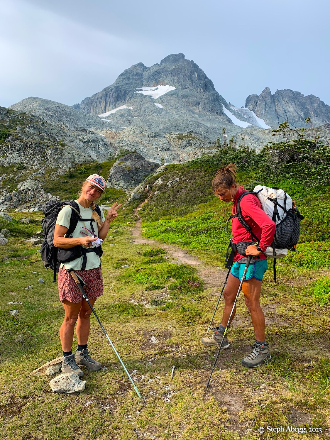
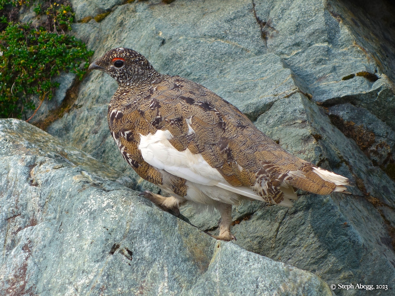
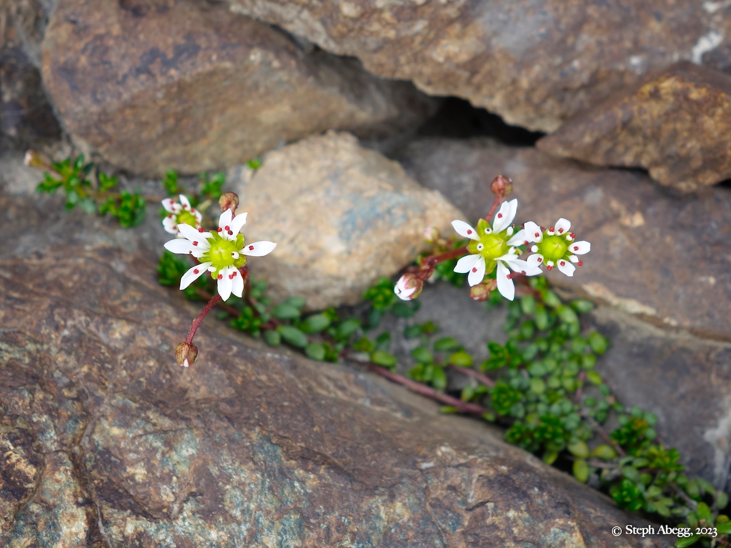
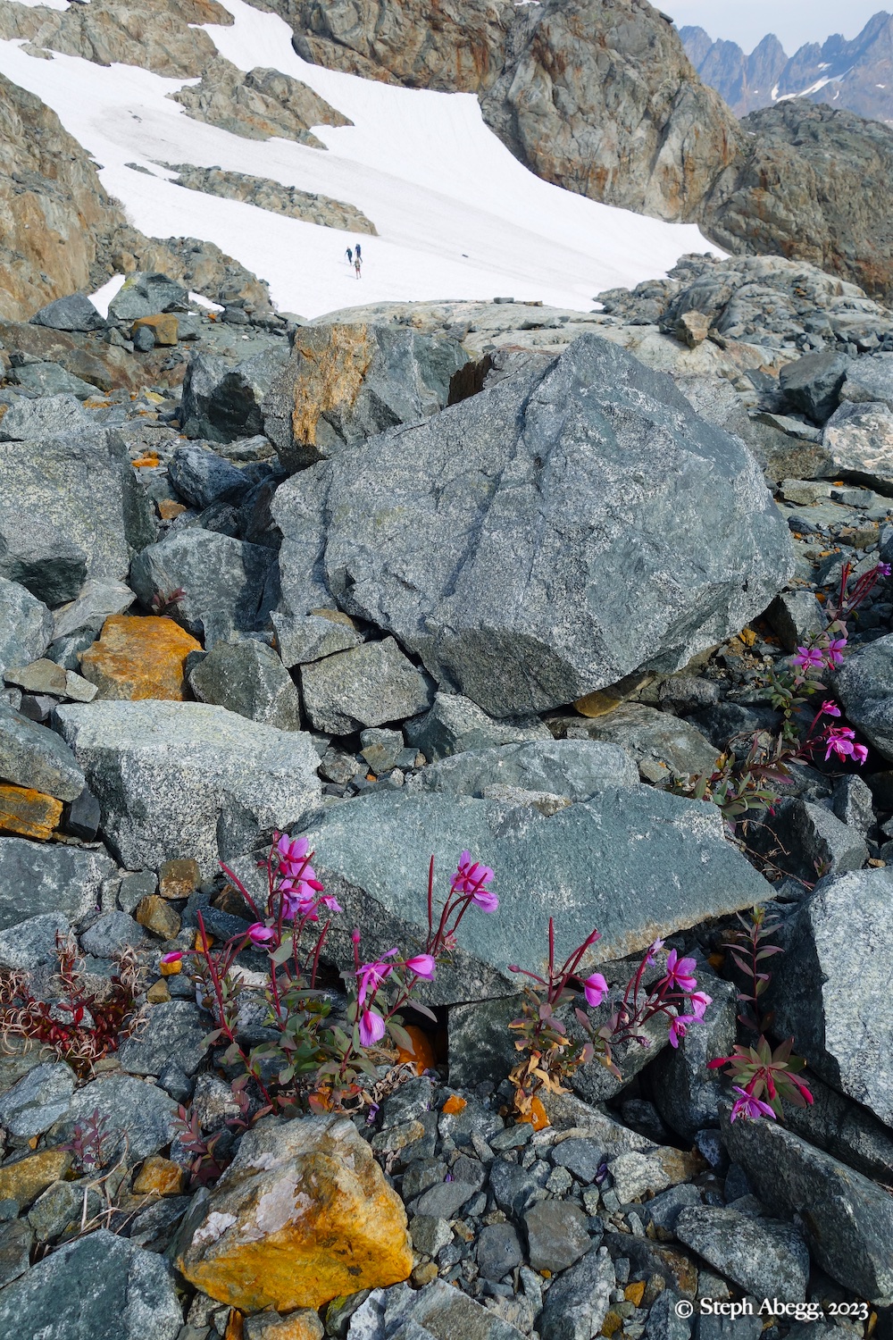
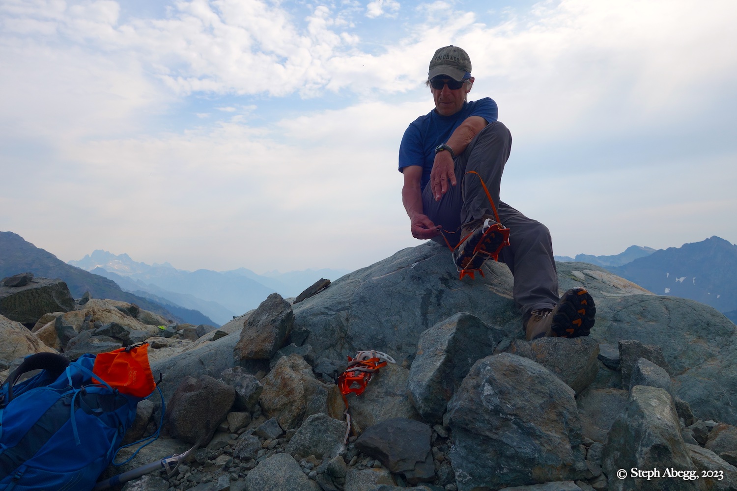
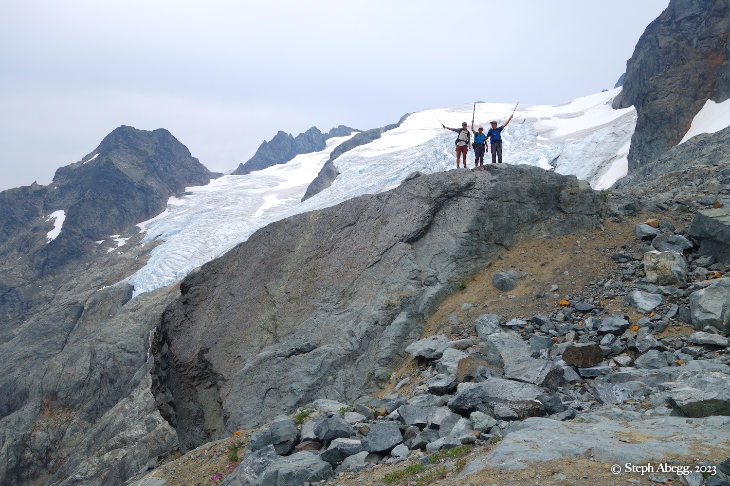
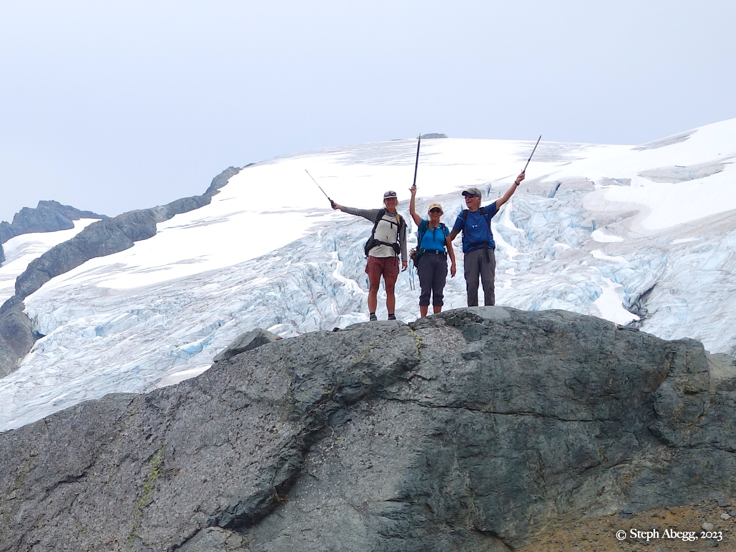
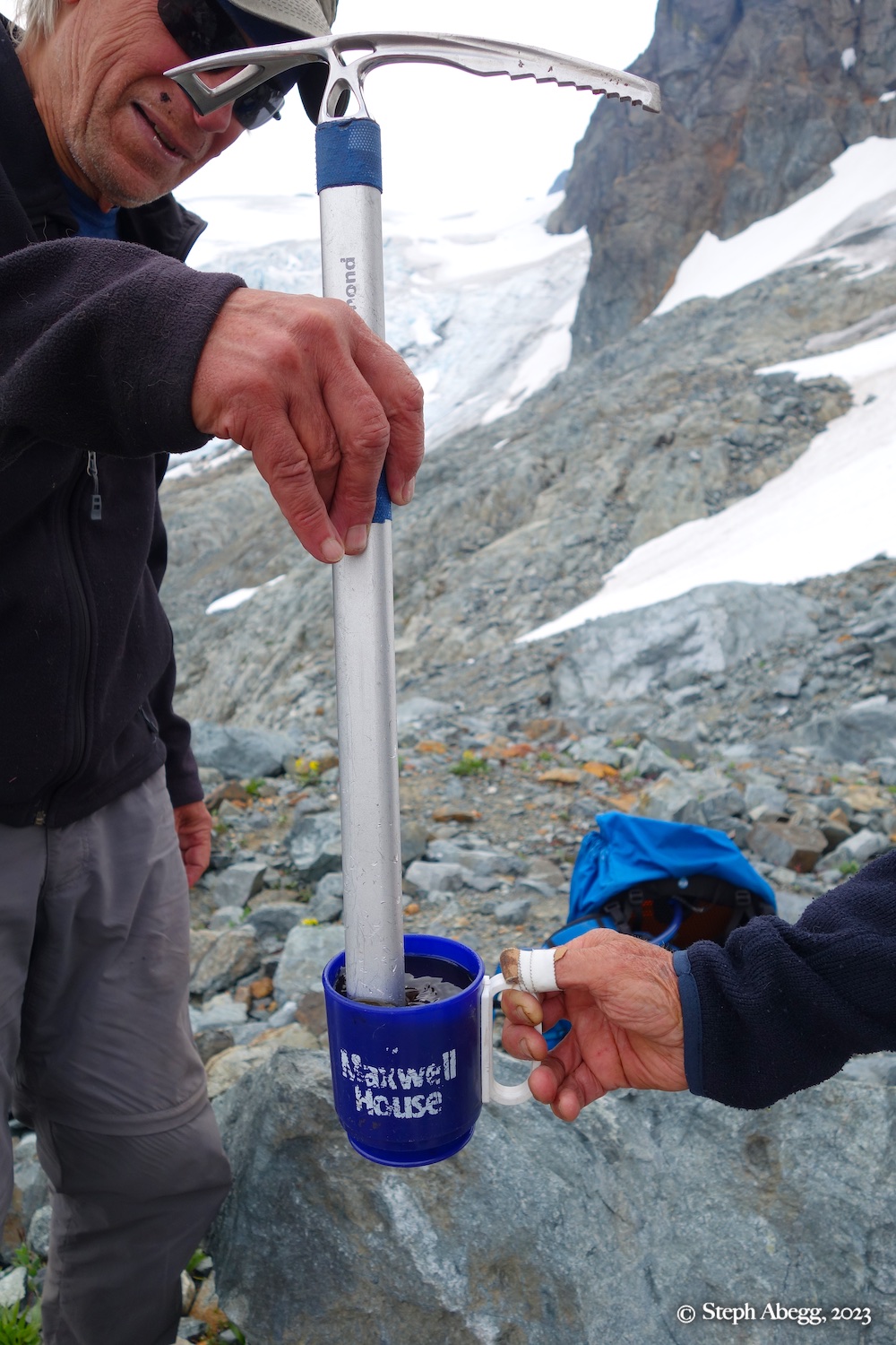
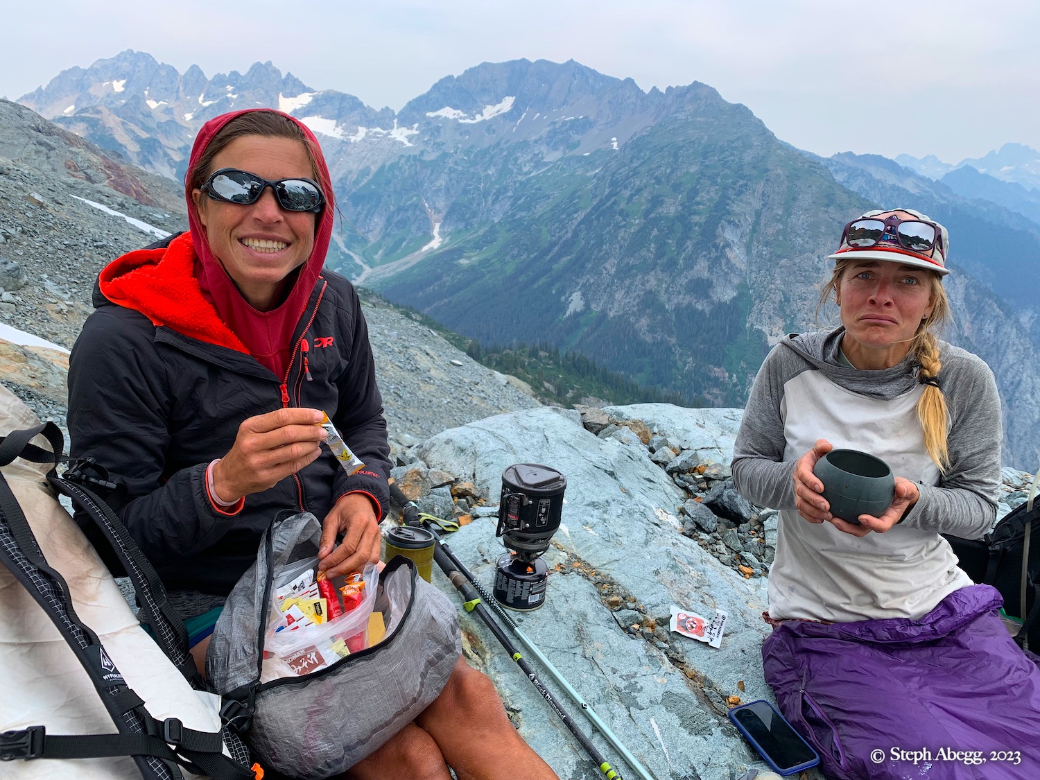
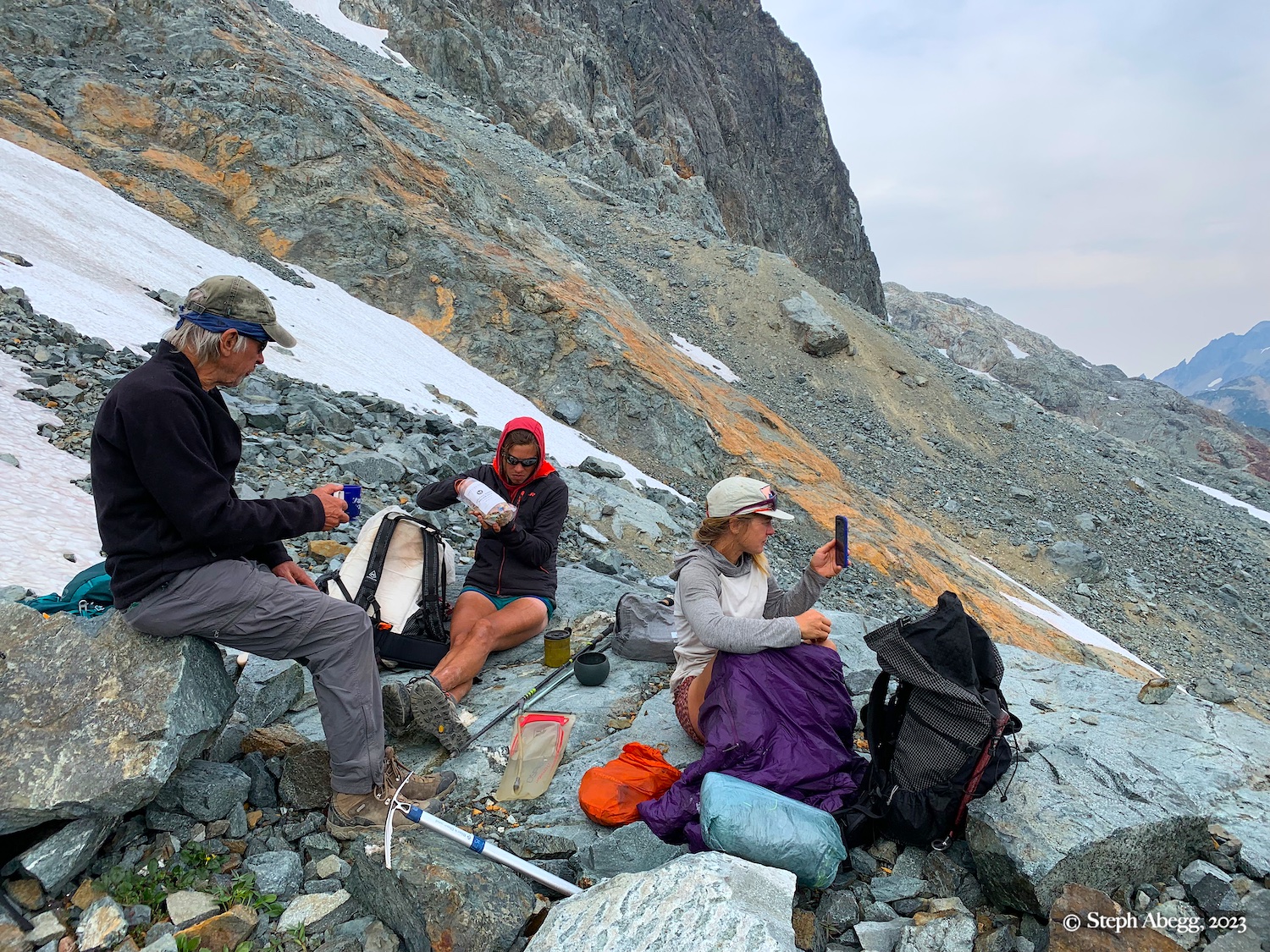
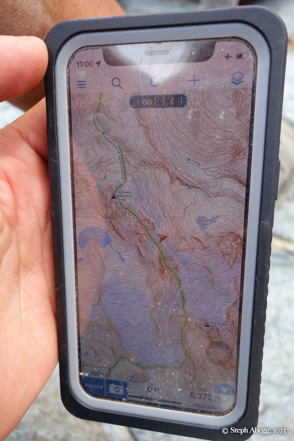
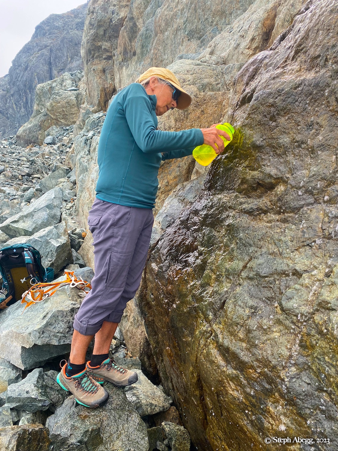
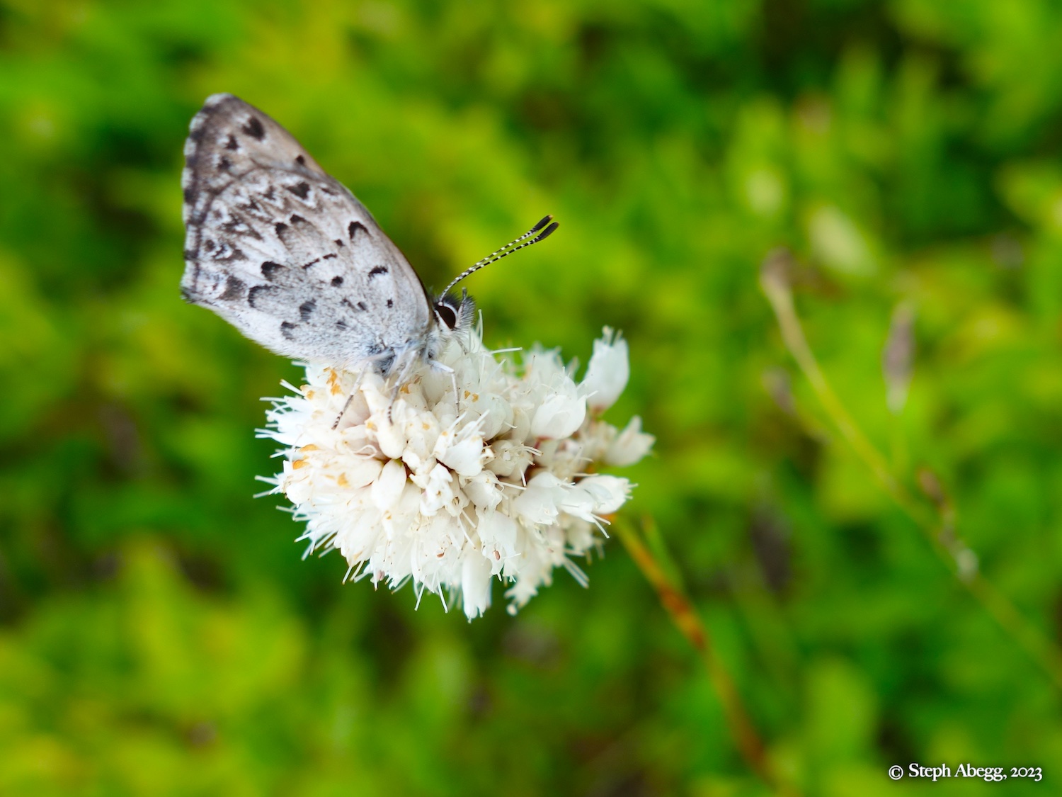
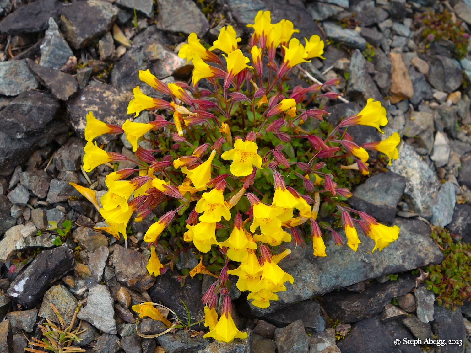
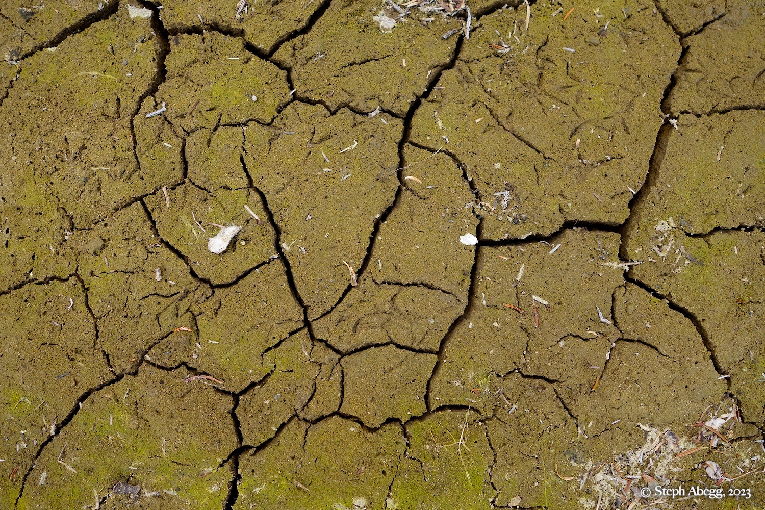
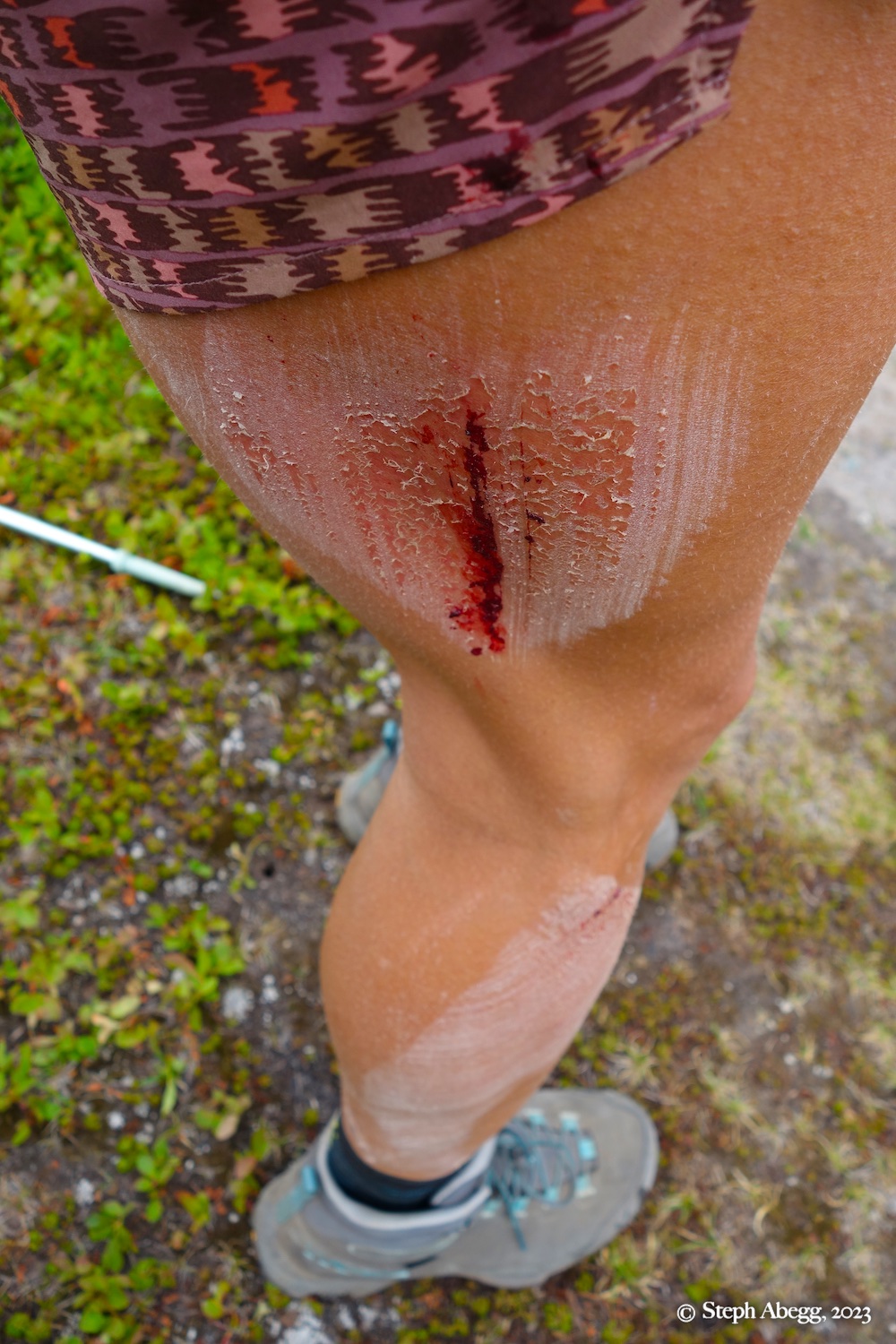
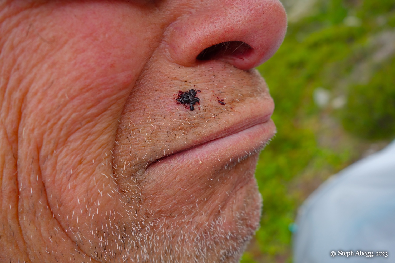
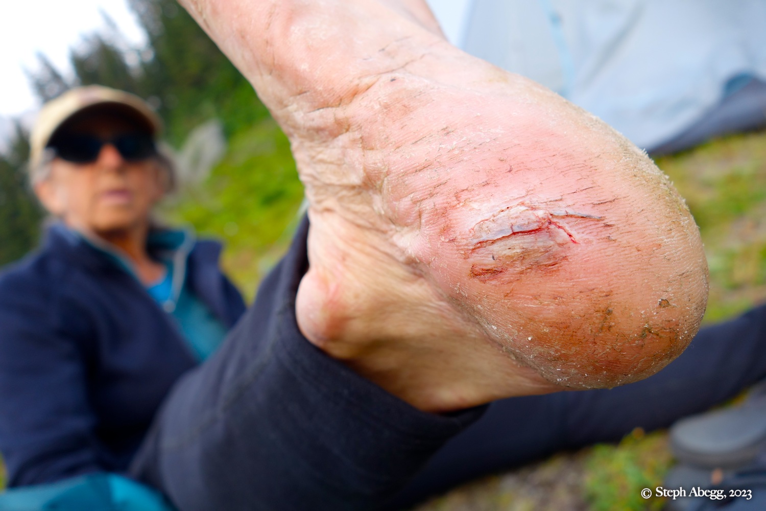
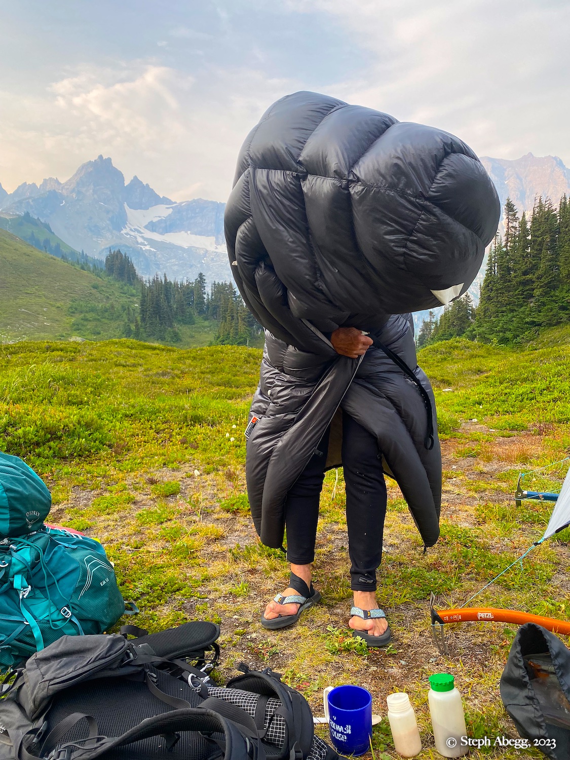
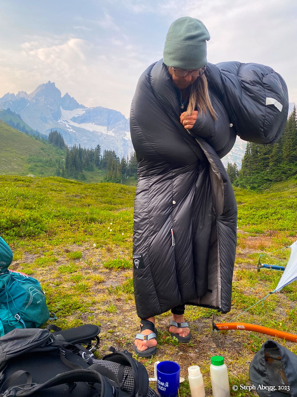
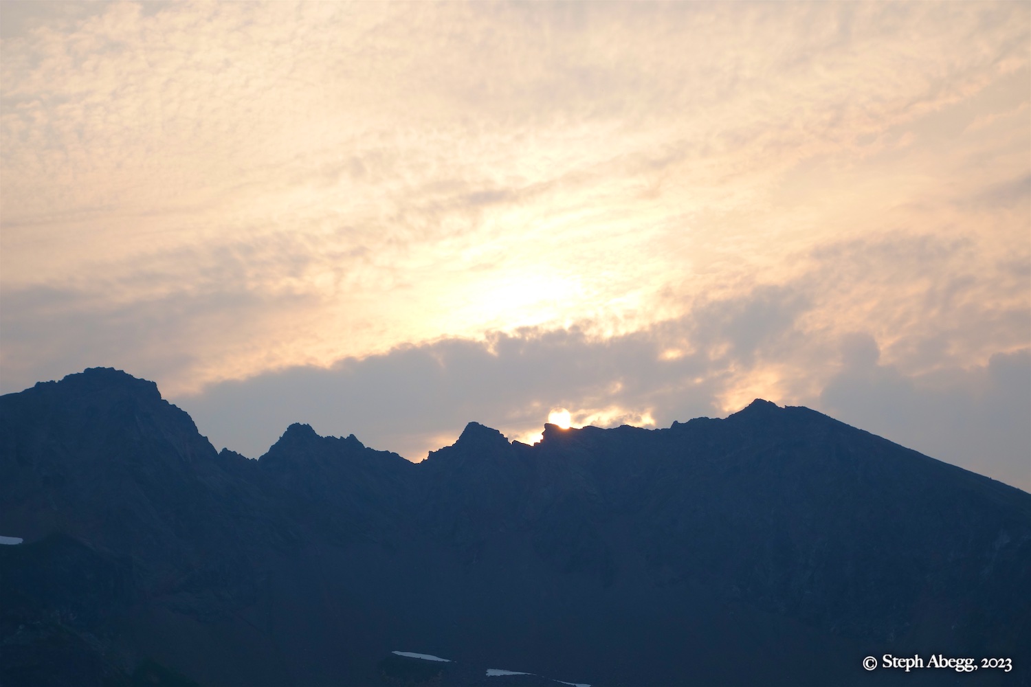
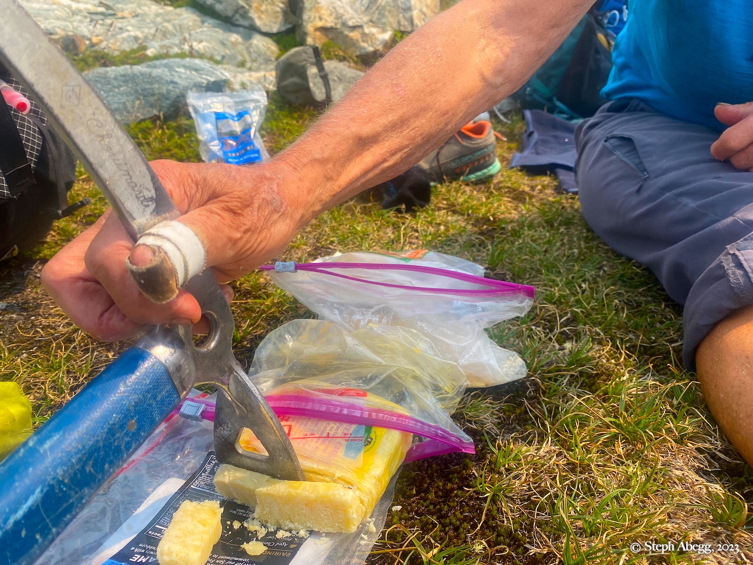
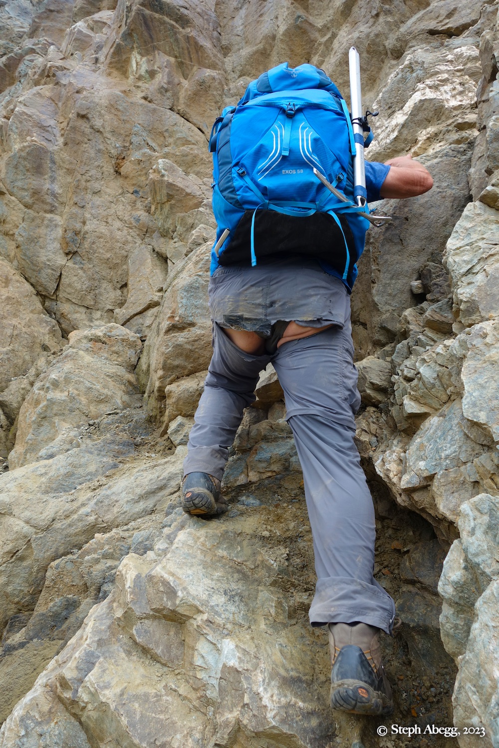
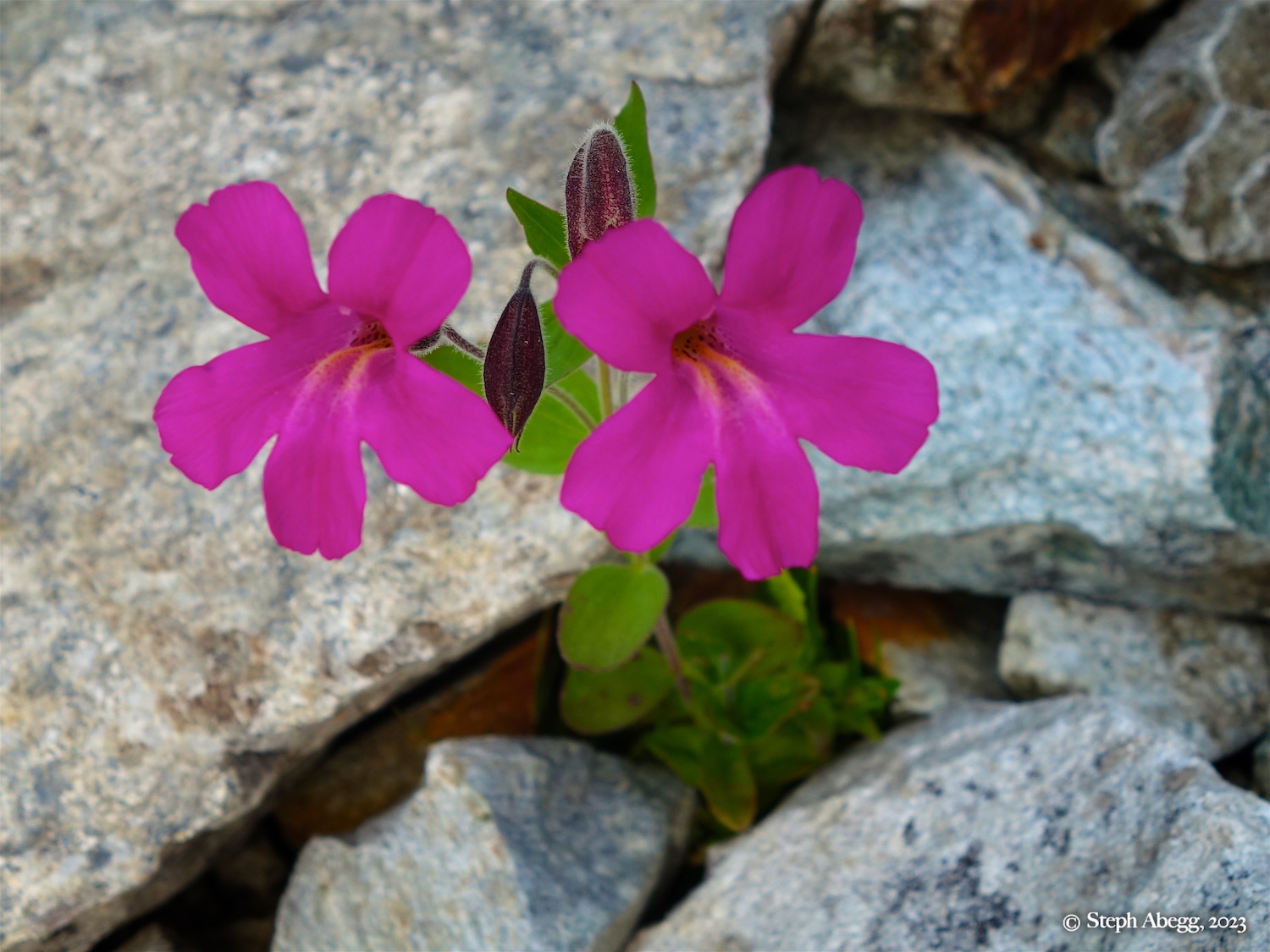
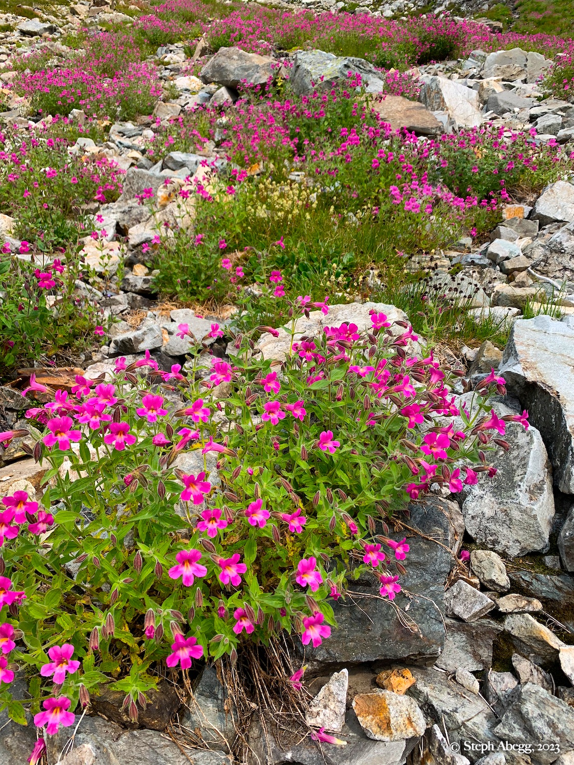
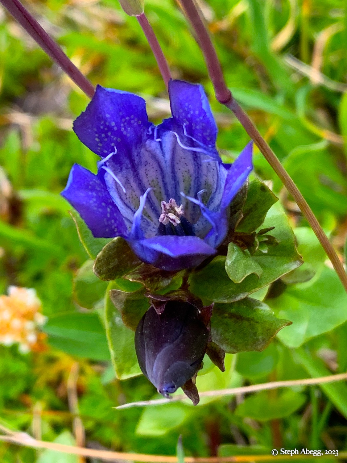
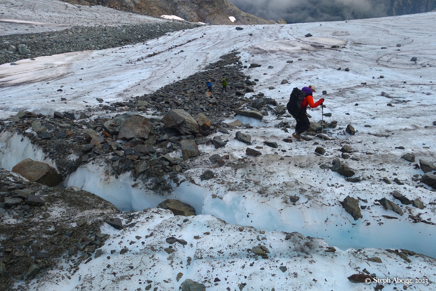
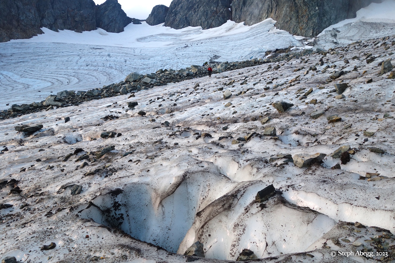
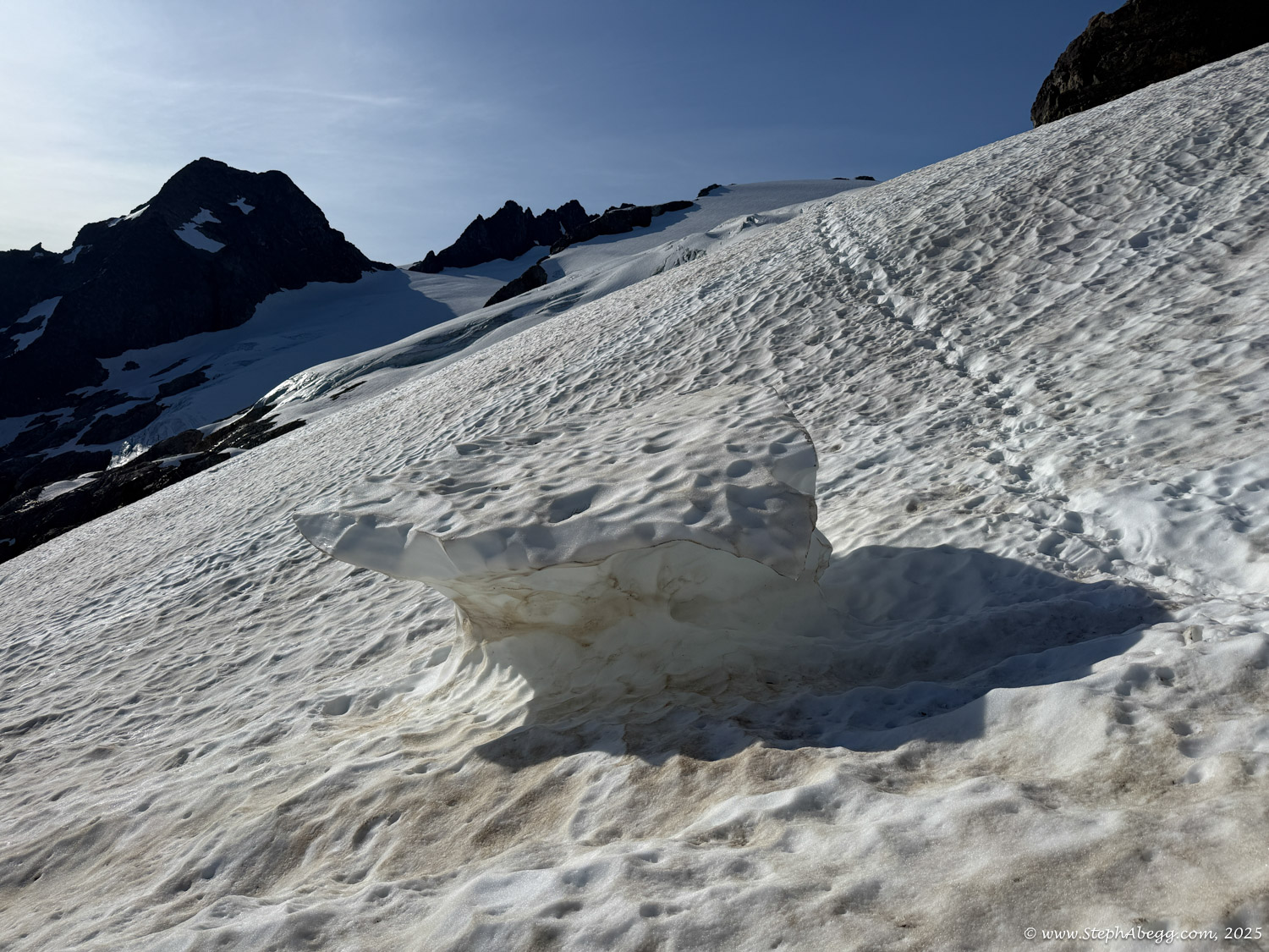
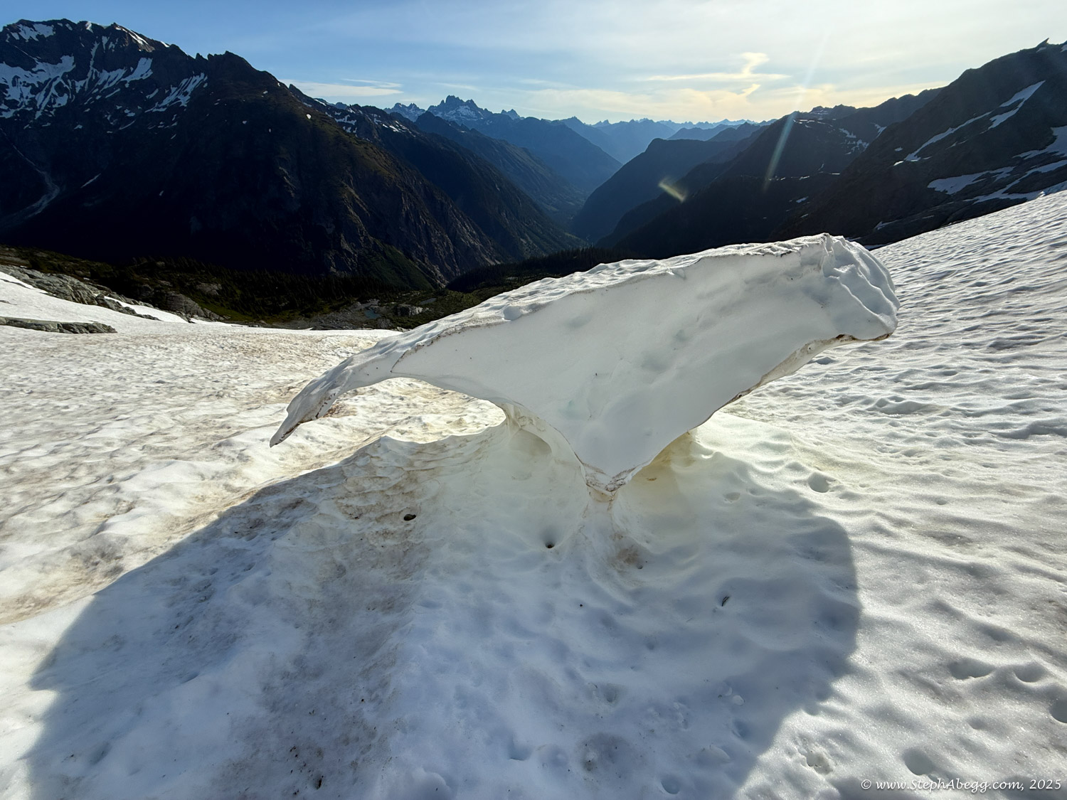
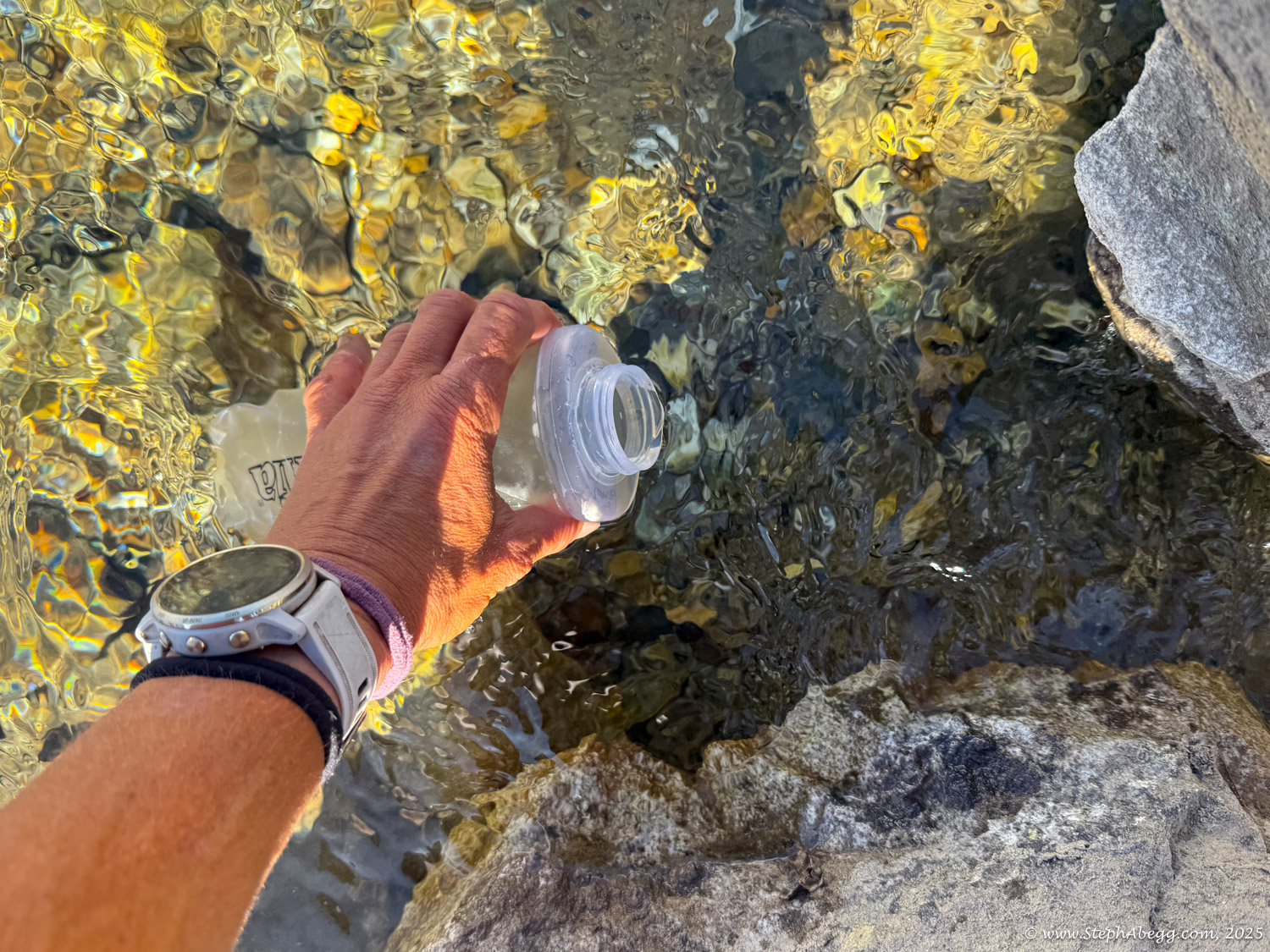
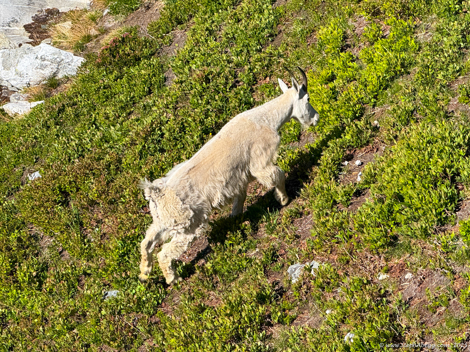
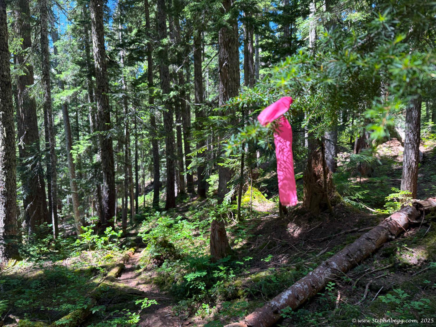
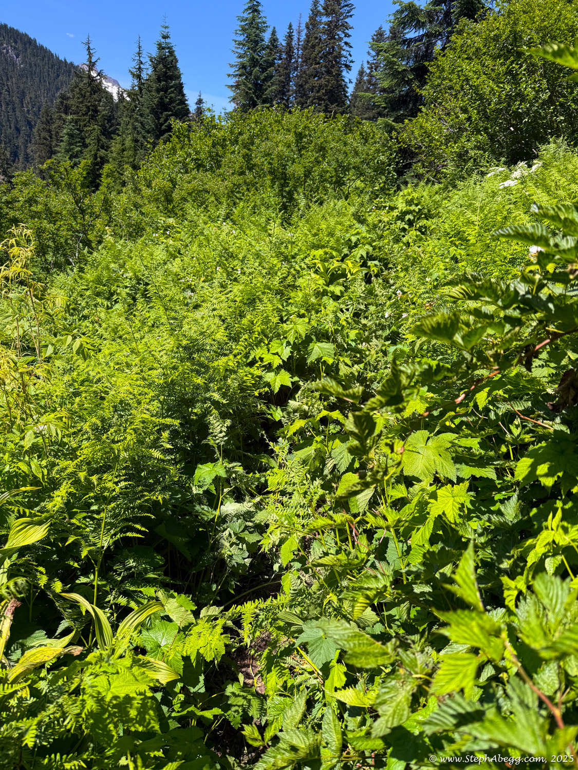
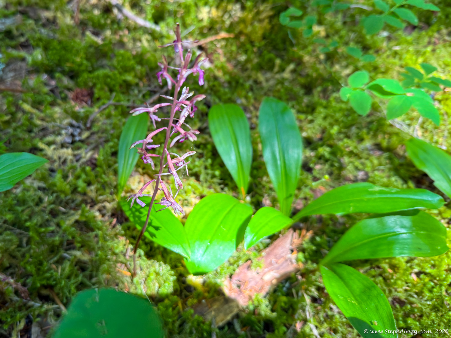
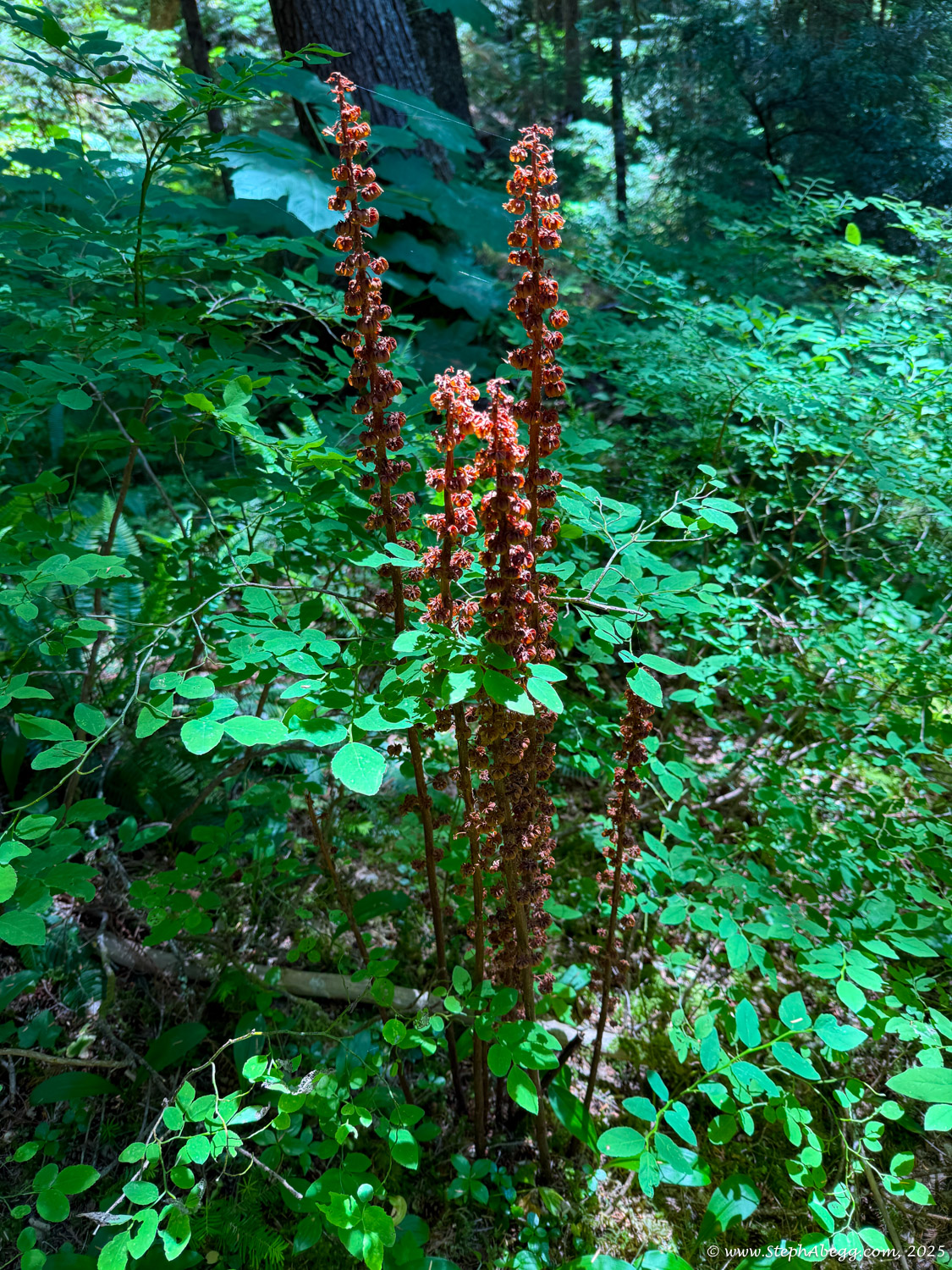
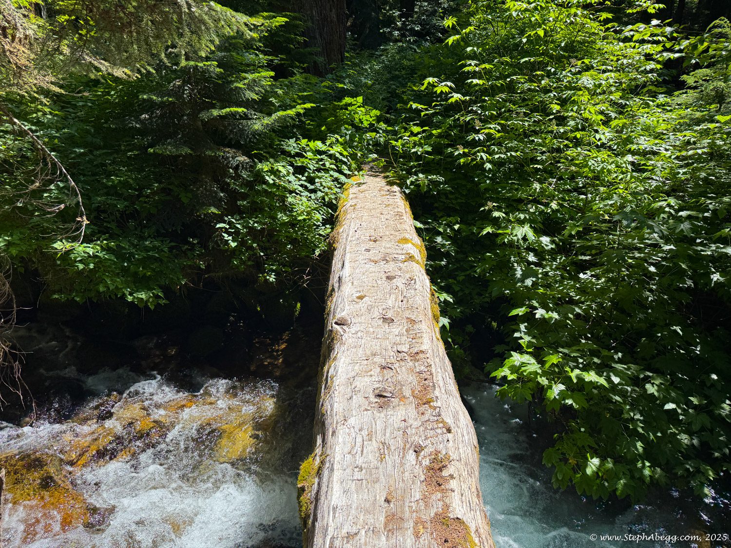
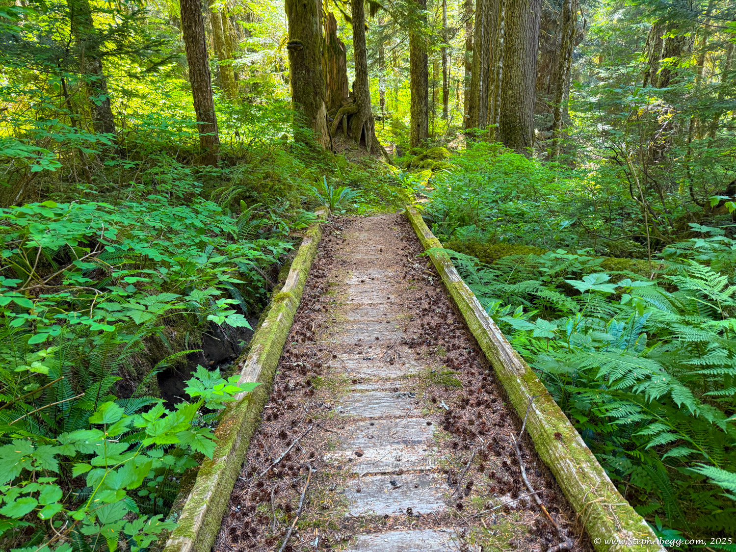
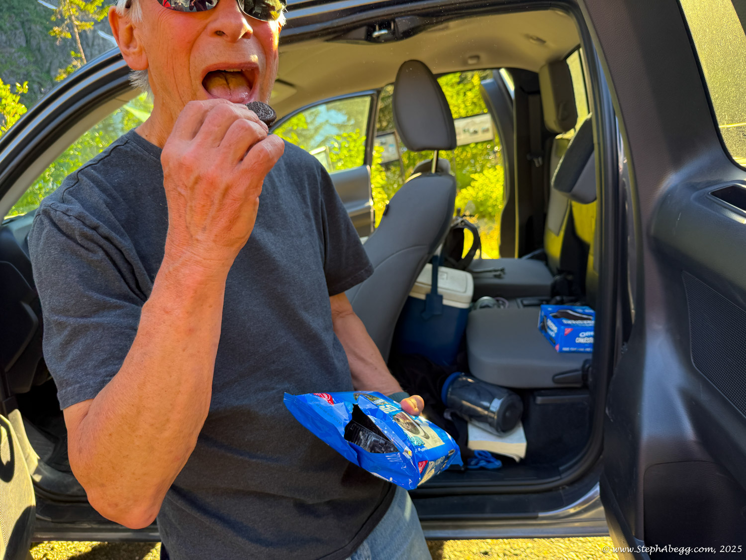
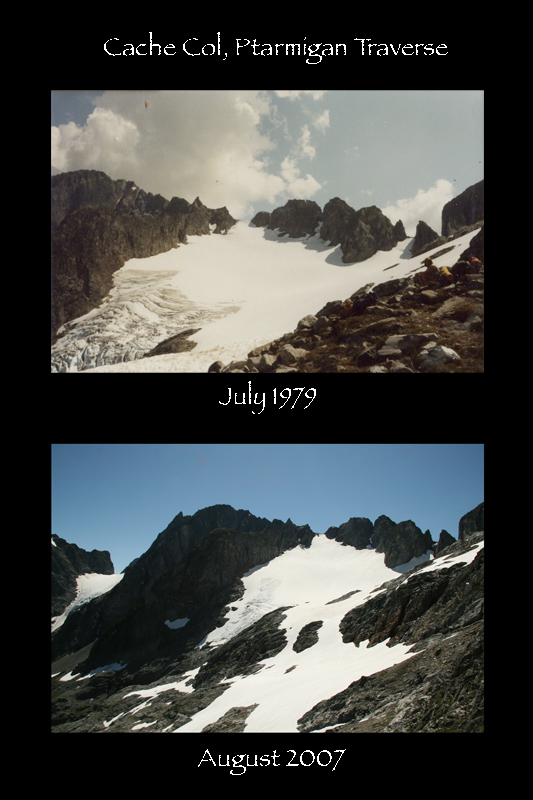
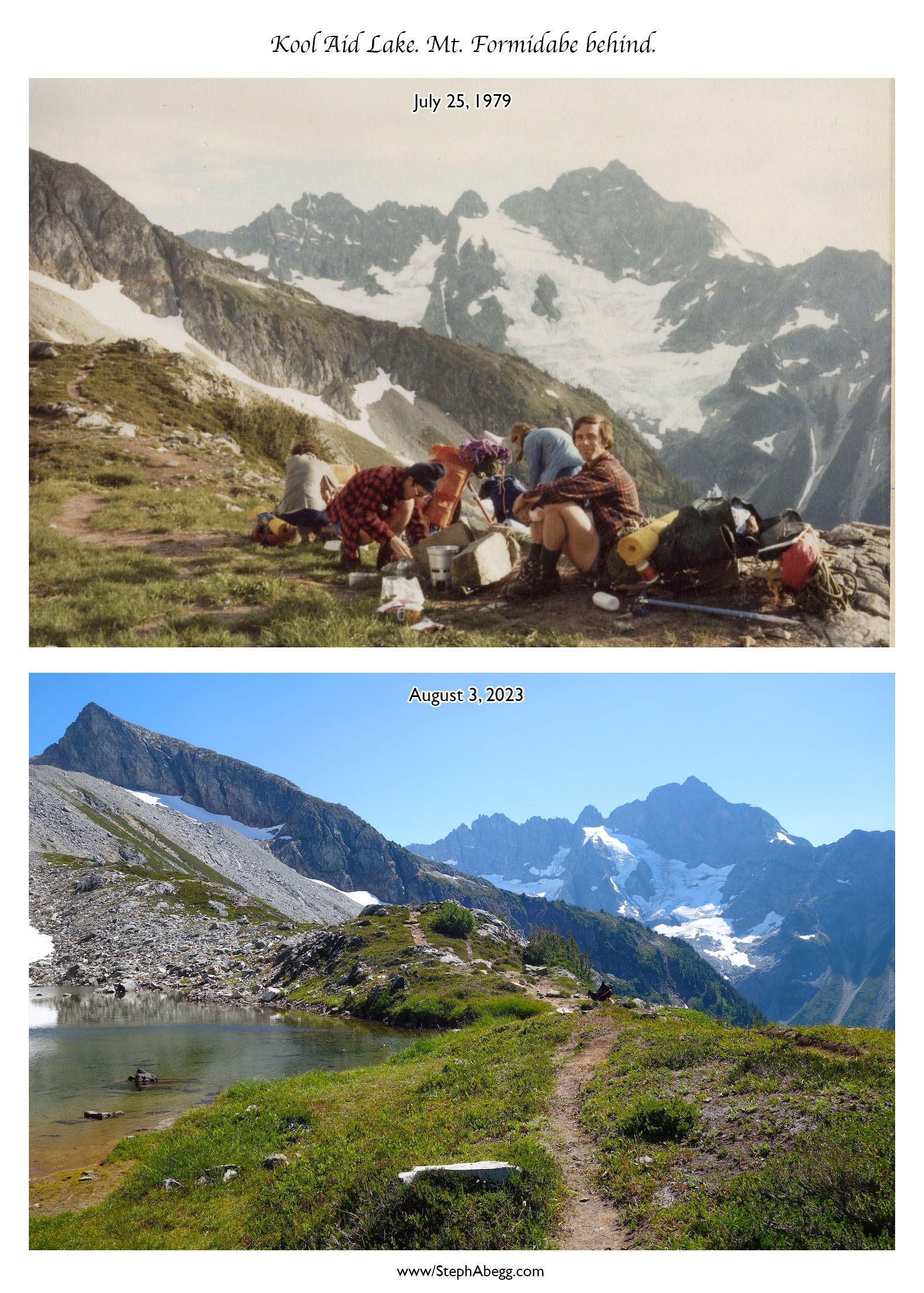
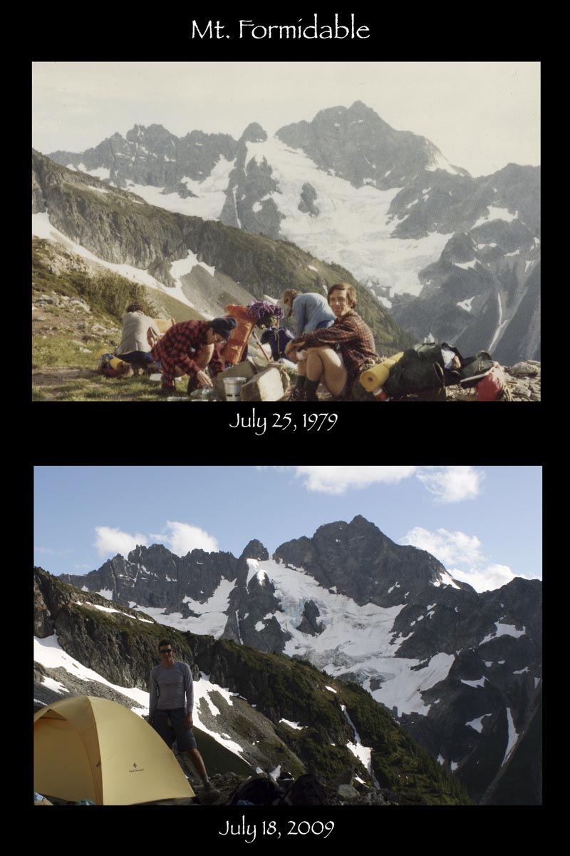
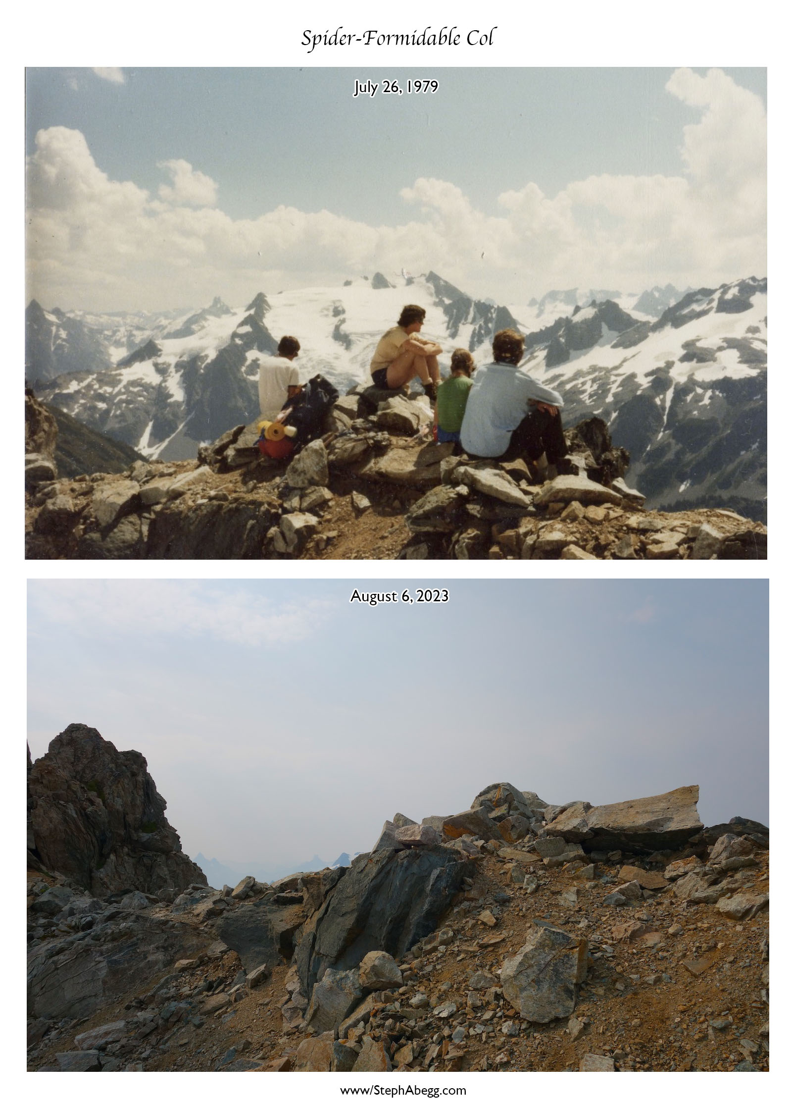
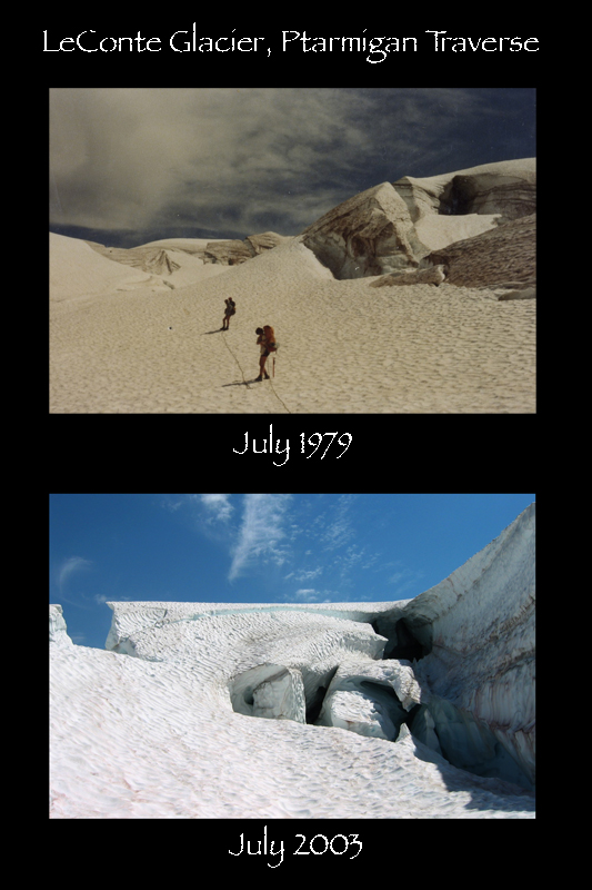
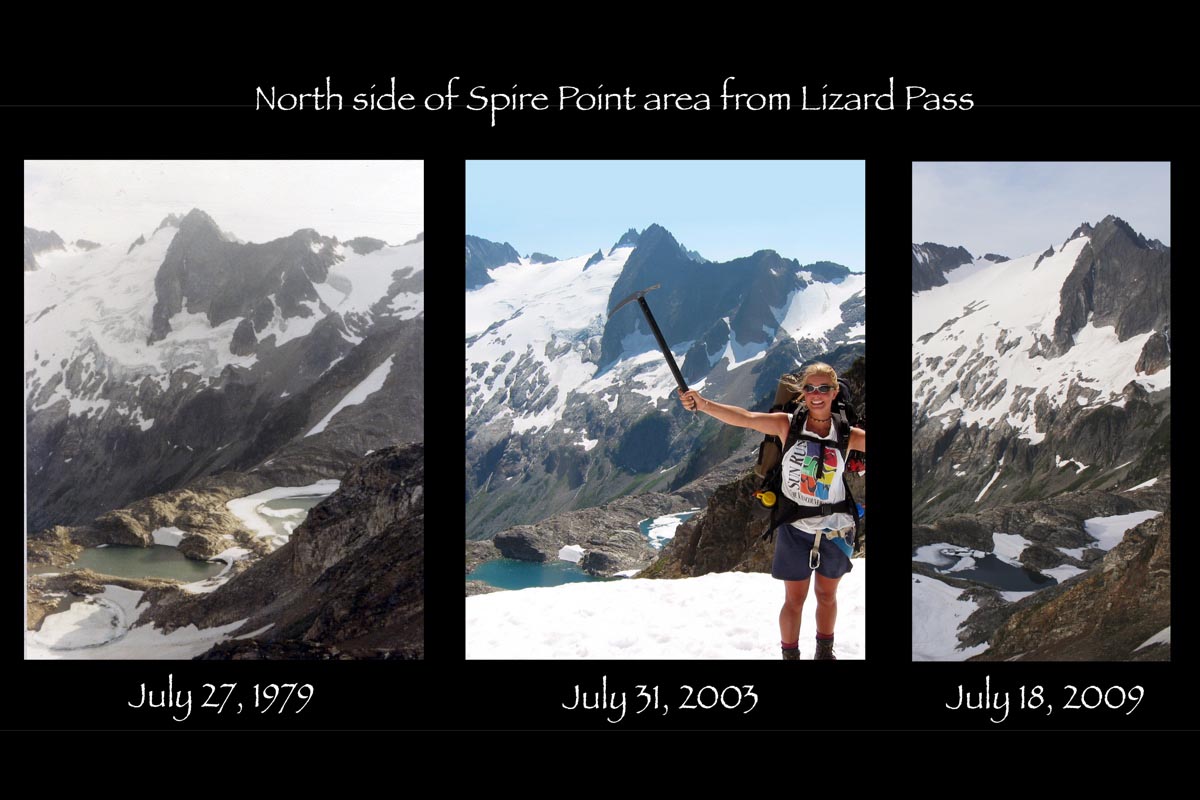
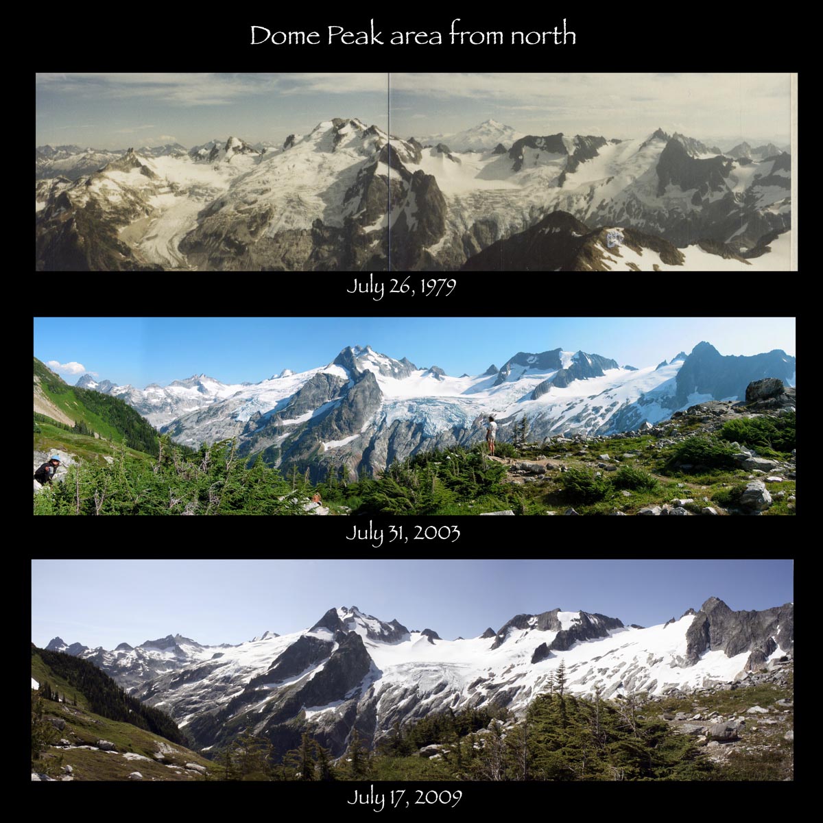
This page page provides a map of the Ptarmigan Traverse, GPS track, distance statistics, and photos from our family's 1979, 1996, 2003, and 2023 adventures, plus my unforgettable solo 2025 push. The 2023 trip in particular is a bit of a photo bomb—we all had cameras (me a real one, the others iPhones), and together we snapped over 1,200 photos.
As a result of all of these photos and reports, please be patient and wait for the tab content below to load.