After focusing on the
LA Freeway (a 38-mile high traverse between Longs Peak and Arapaho Peaks in Colorado) all summer, I was looking for another big fitness adventure to put on the schedule. Hiking the Grand Canyon rim to rim to rim (42-45 miles and 11,500 feet up and down) sounded fun. It was on my bucket list anyway. I had never hiked more than 38 miles (the LA Freeway) in a single push.
My plan was to do a two-week work/climb roadtrip to Yosemite in late October/early November, and then break up my drive on the way home by stopping at the Grand Canyon and doing r2r2r (or R3?). But just before I left for Yosemite, I fractured my tibial plateau while cleaning my gutters. I got an MRI to confirm and the doctor told me 6-8 weeks of no climbing, running, heavy packs, etc. So I was pretty sure that climbing in Yosemite and certainly the Grand Canyon was not going to happen. But out of some wild hope that I could pull it off, I decided to go on the road trip anyway. Two weeks post-fracture, I was climbing (following)
The North Face (5.11c, 8p) of the Rostrum. Several awesome climbs would follow and I even stayed in Yosemite an extra week. While leading
Central Pillar of Frenzy (5.9, 5p) near the end of the trip, I found myself wondering "which knee was it again?" and my next thought was "hmm....what about that Grand Canyon idea after all...?"
My main partner in Yosemite, Nate Beckwith (he had done r2r2r), encouraged me to go for it, rationalizing that it would be much more efficient to do it on the drive home from Yosemite than to make a future separate trip (24 hours of driving) from Estes Park to the Grand Canyon. Plus, the weather was perfect for it now, with lows in the high 20's on the canyon rims but highs in the mid-70's at the canyon floor. My decision was made when my friend Linn had offered to stay at my house in Estes Park for a night over the weekend to hang out with my cat Newt.
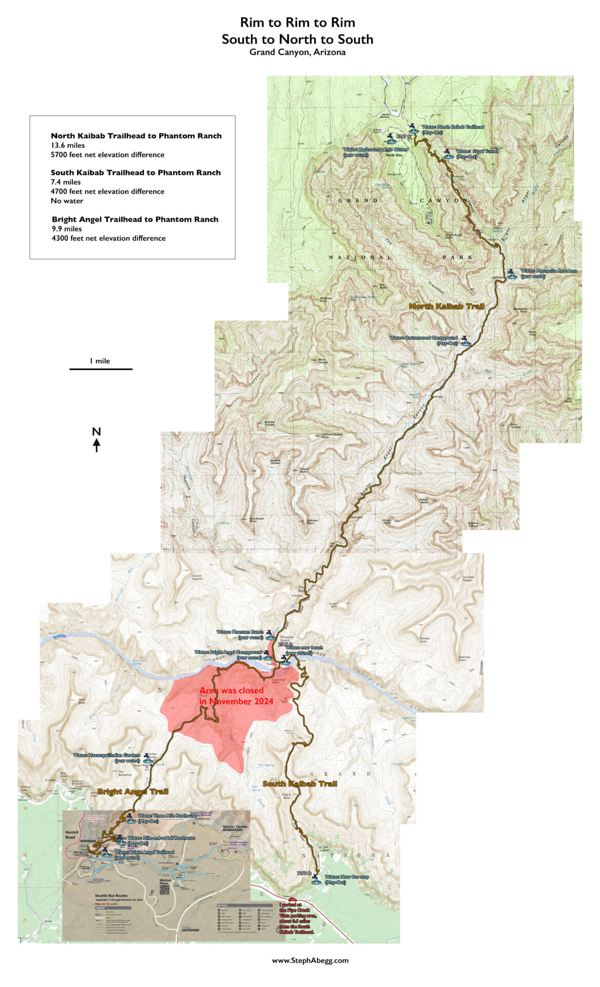
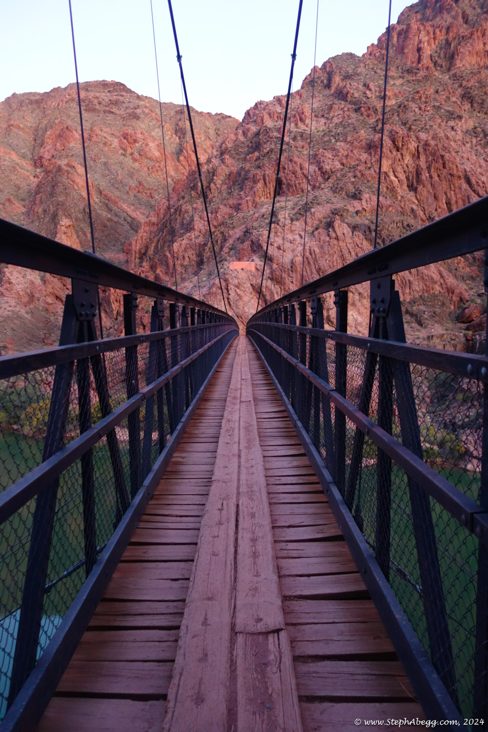
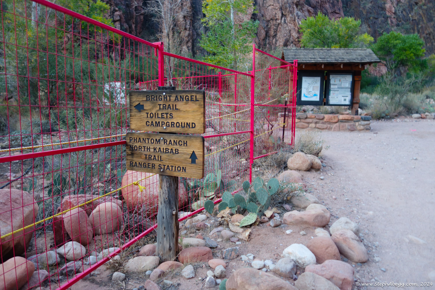
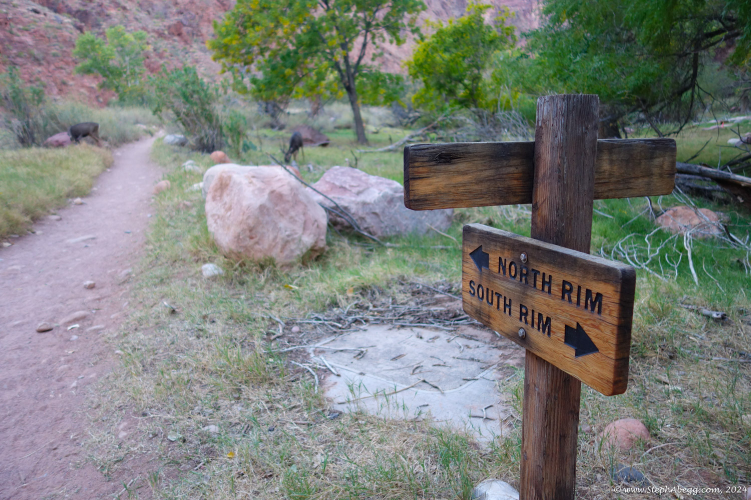
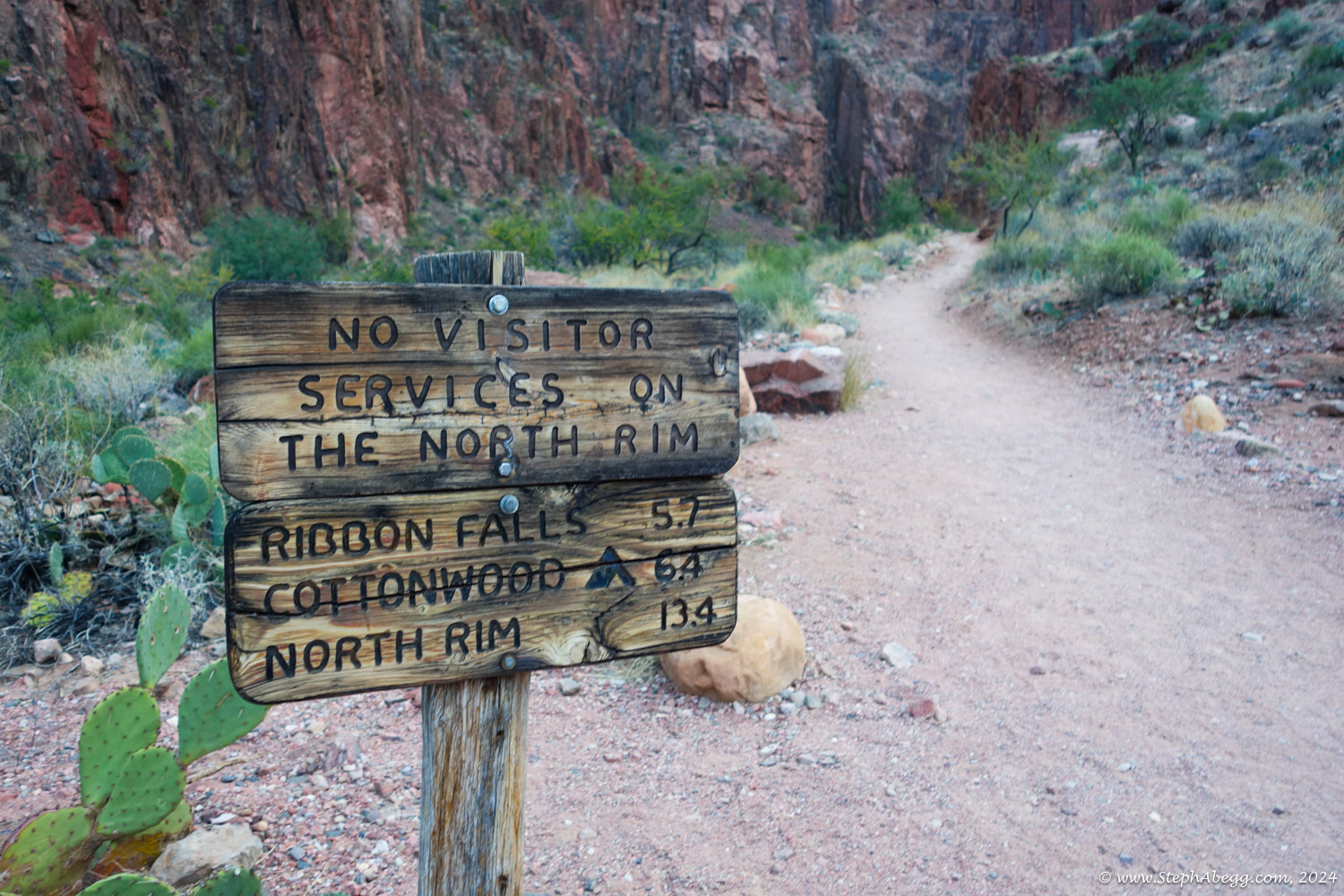
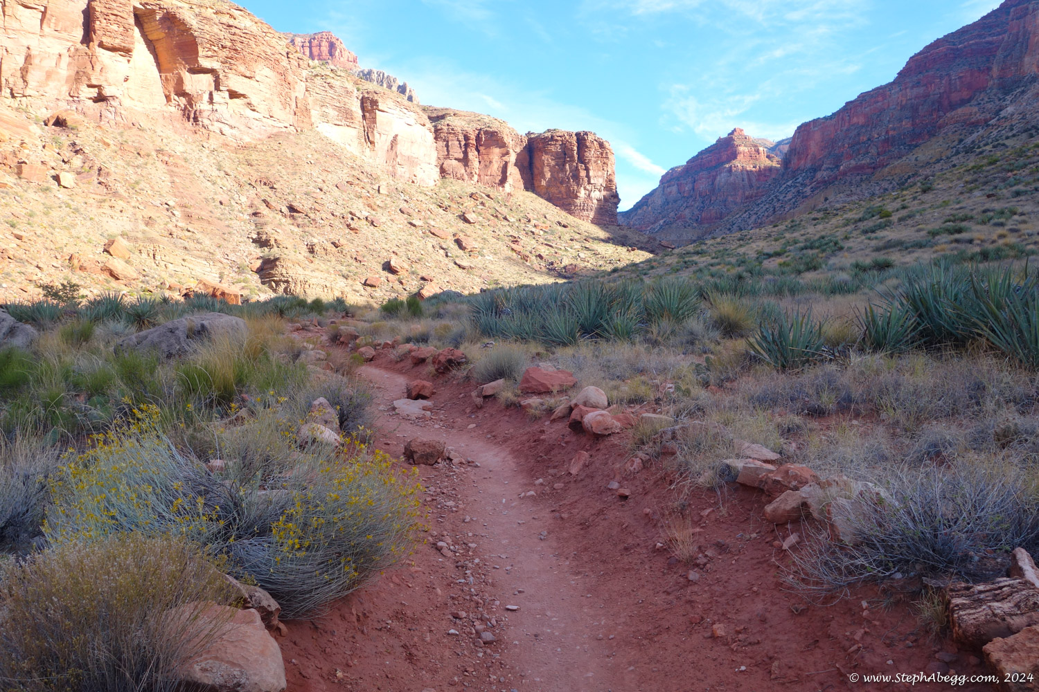
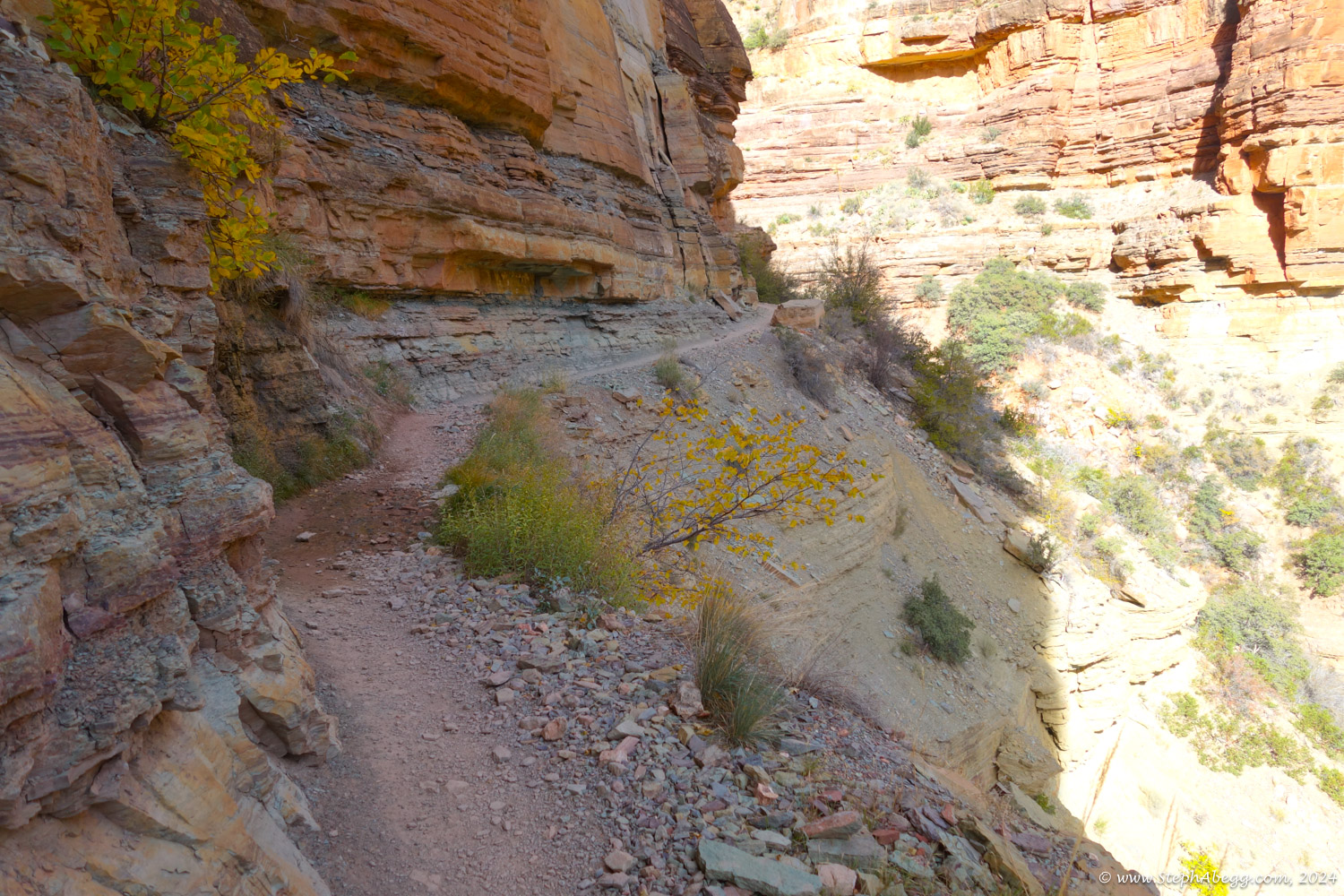
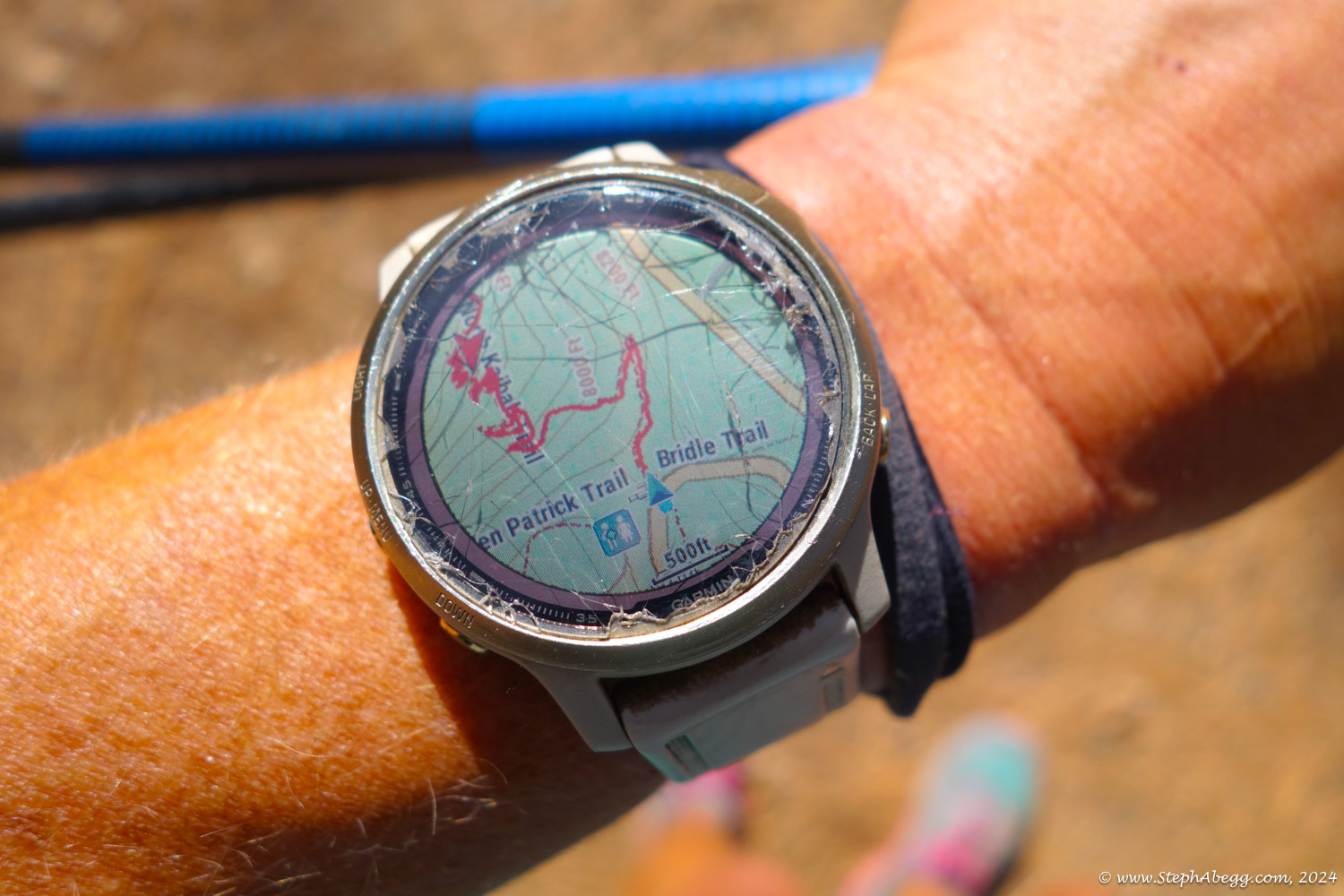
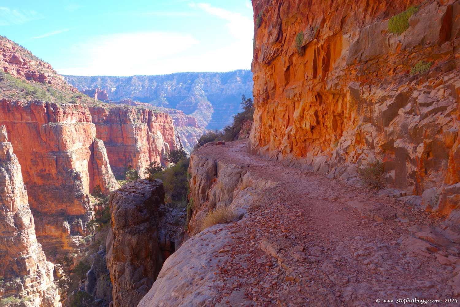
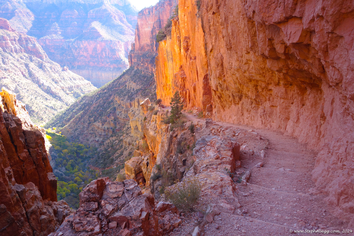
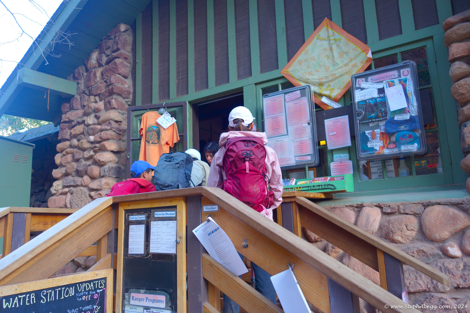
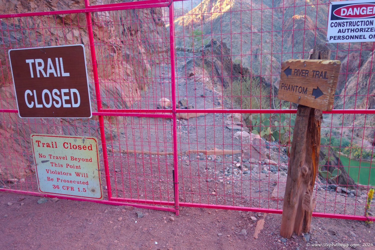
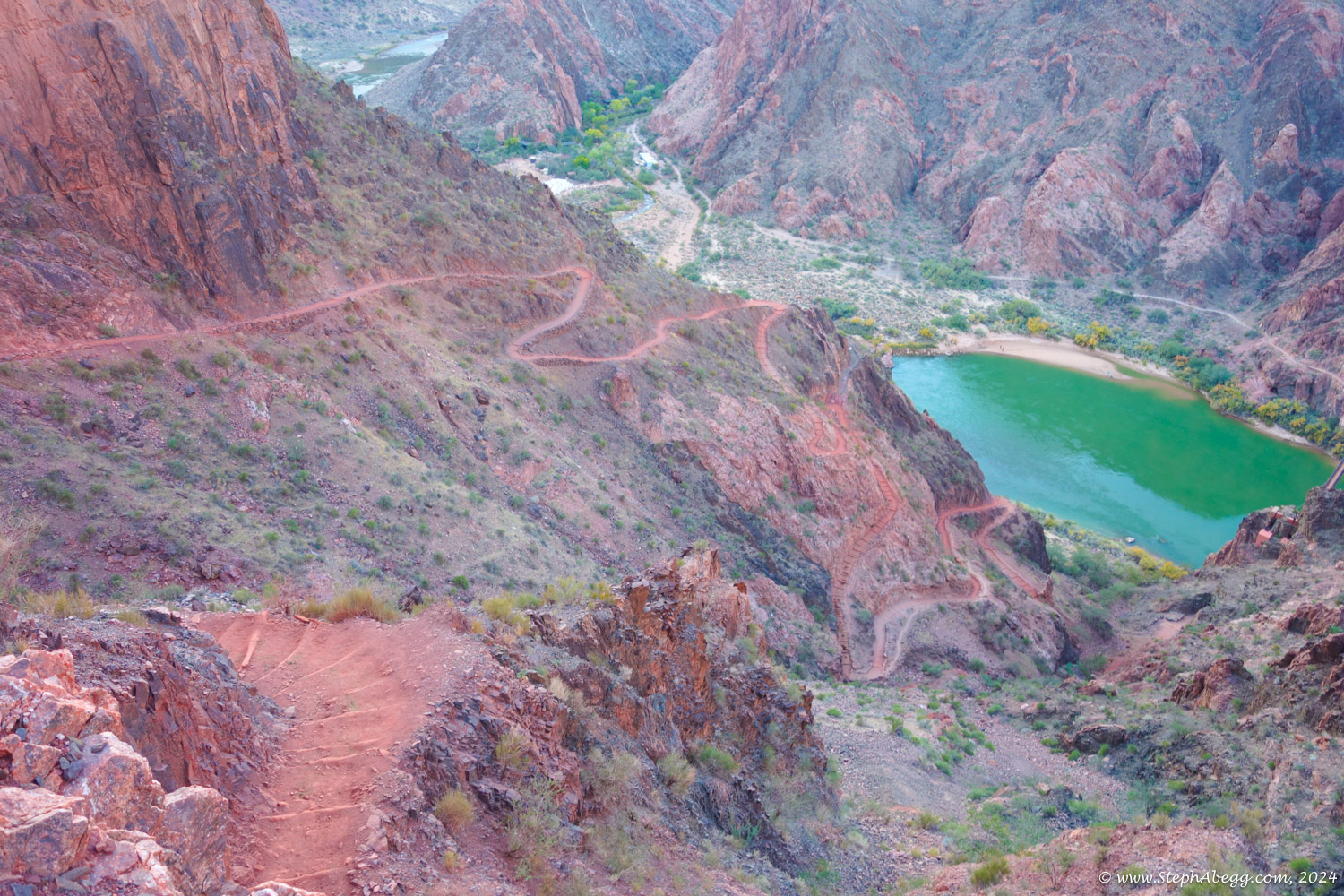
Next I had to think about logistics. I planned to start on the south rim, hike down into the canyon via the South Kaibab trail, up to the north rim via the North Kaibab trail, and back out to the south rim via the Bright Angel trail. But when checking the NPS website I discovered that the lower section of the Bright Angel Trail was closed. So I would have to take the South Kaibab trail back out. No parking is allowed at the South Kaibab trailhead. The bus line between the visitor center parking and the South Kaibab trailhead only ran from sunrise to sunset. I noticed a "Pipe Creek Vista Parking Lot" 0.6-0.8 miles from the South Kaibab Trailhead. I decided to park at the east end of that, adding only 1.2 miles to my total adventure.
Sunrise on November 10 would be at 7:02 am MST (dawn at 6:34 am) and sunset would be at 5:23 pm MST (dusk at 5:51 pm), giving me 11 hours and 17 minutes of daylight. I decided to start at 4 am.
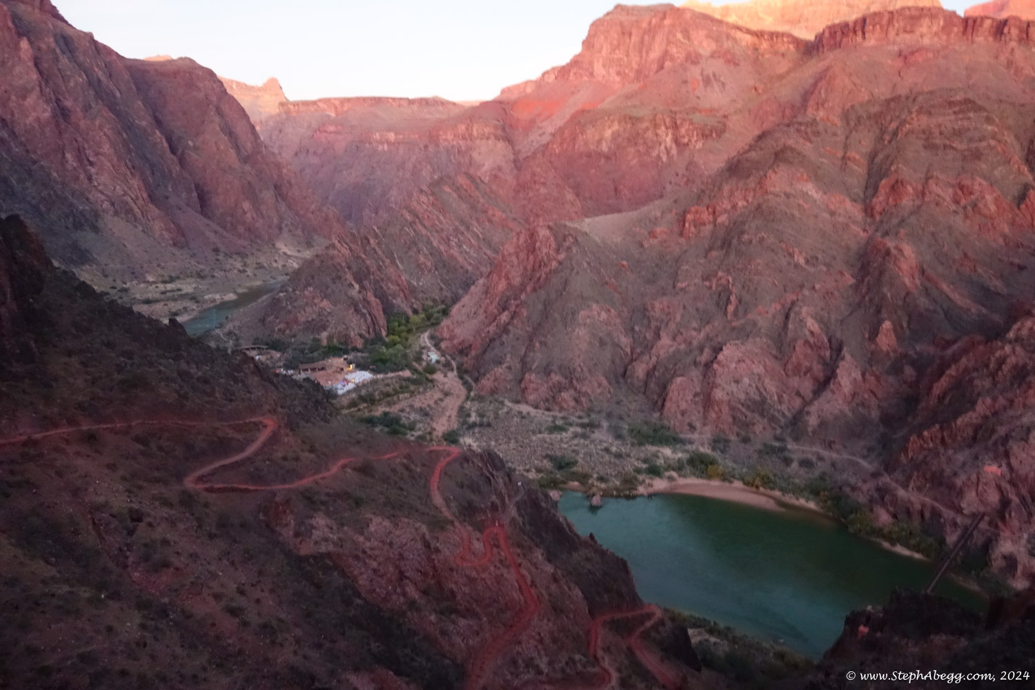
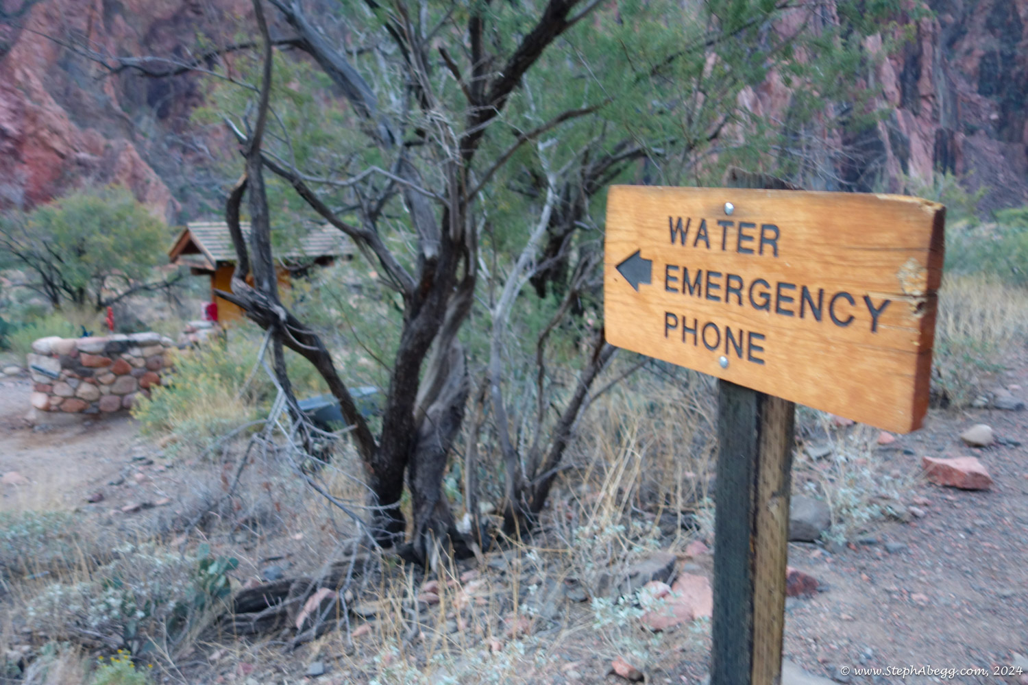
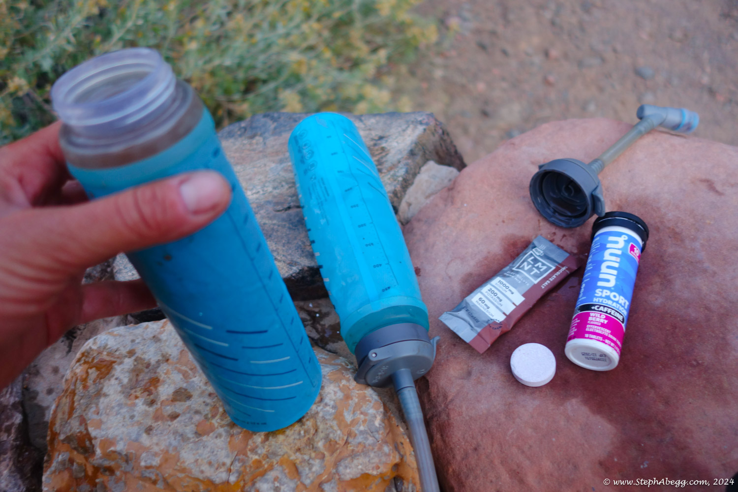
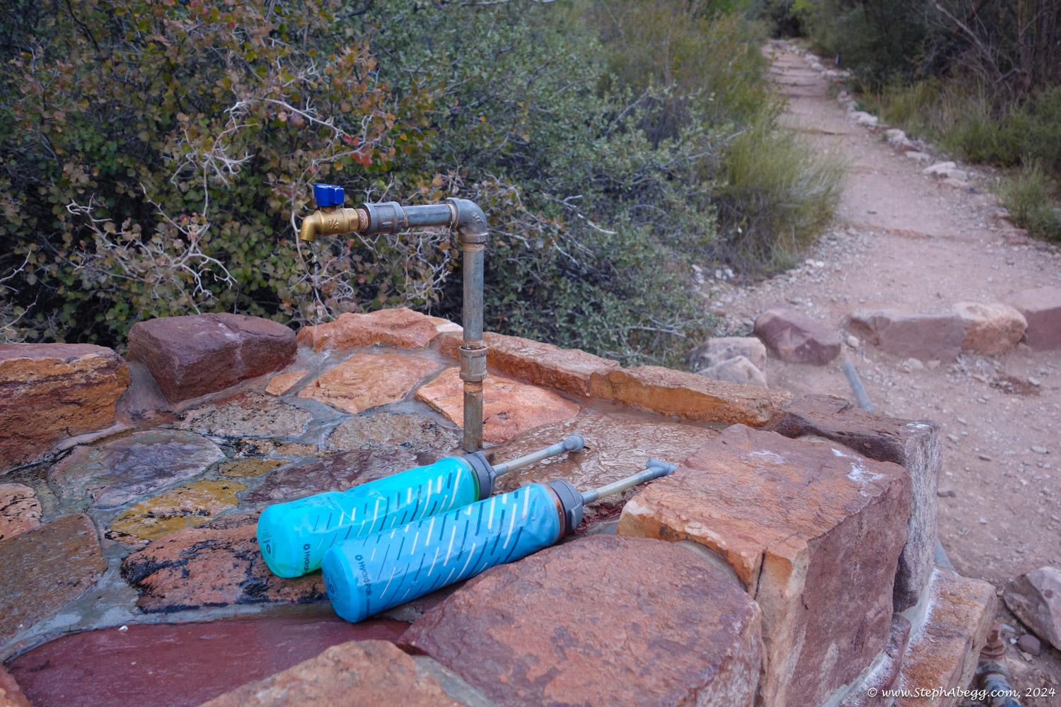
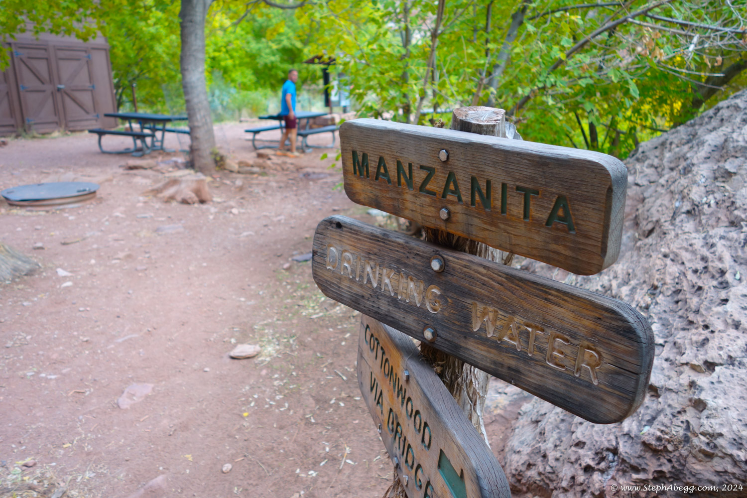
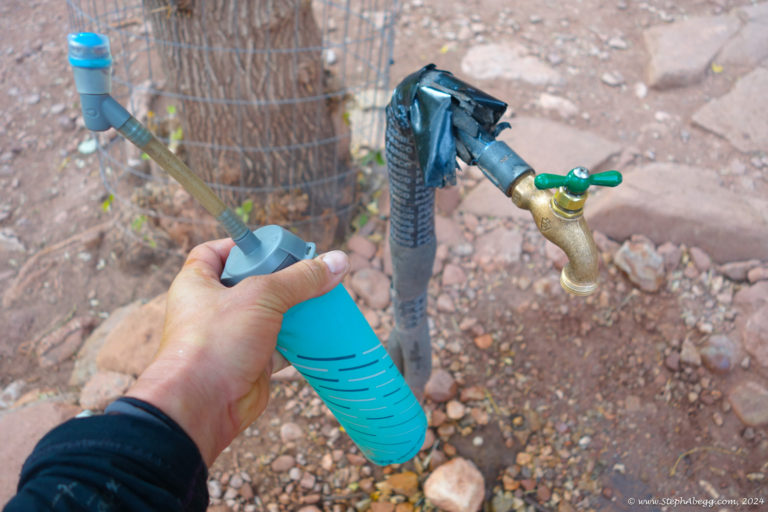
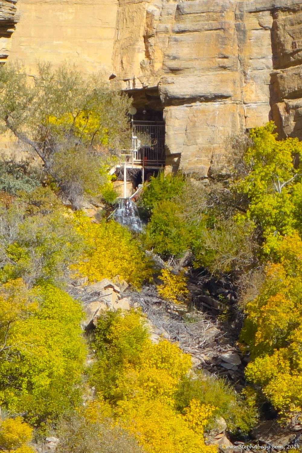
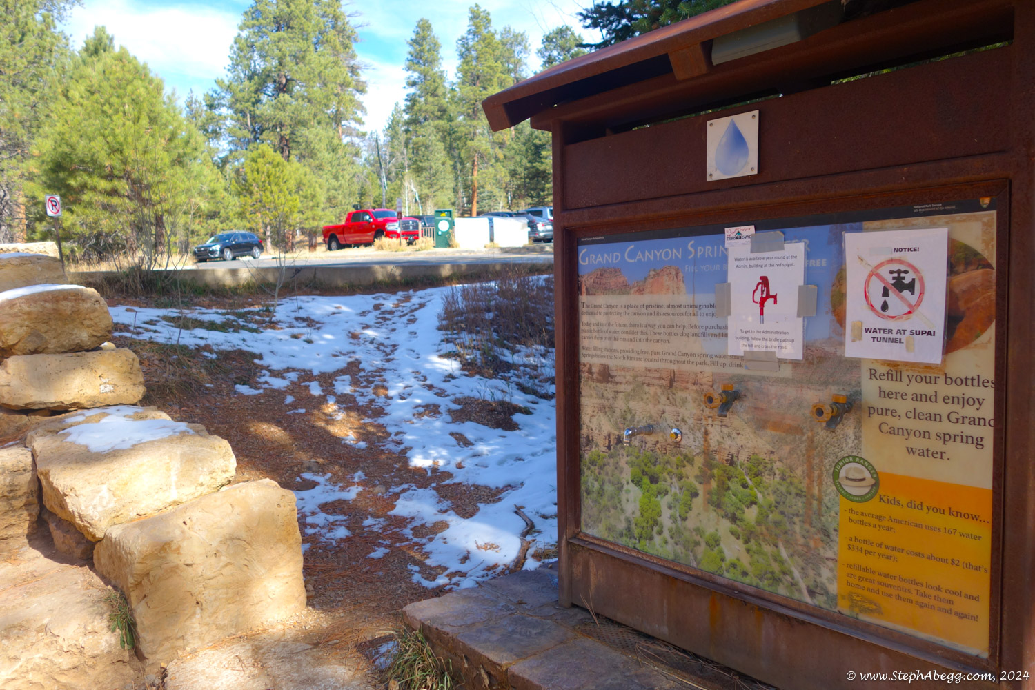
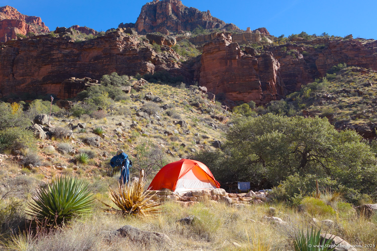
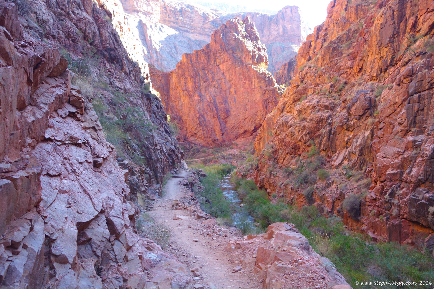
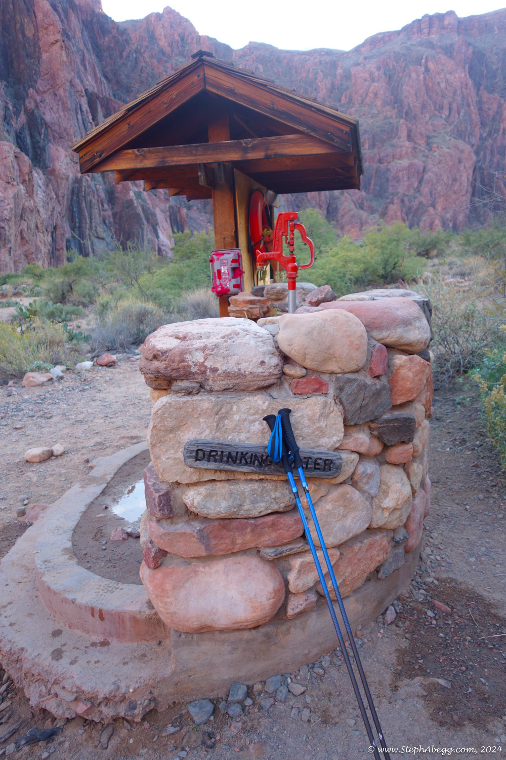
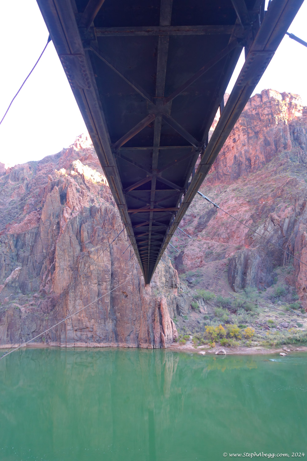
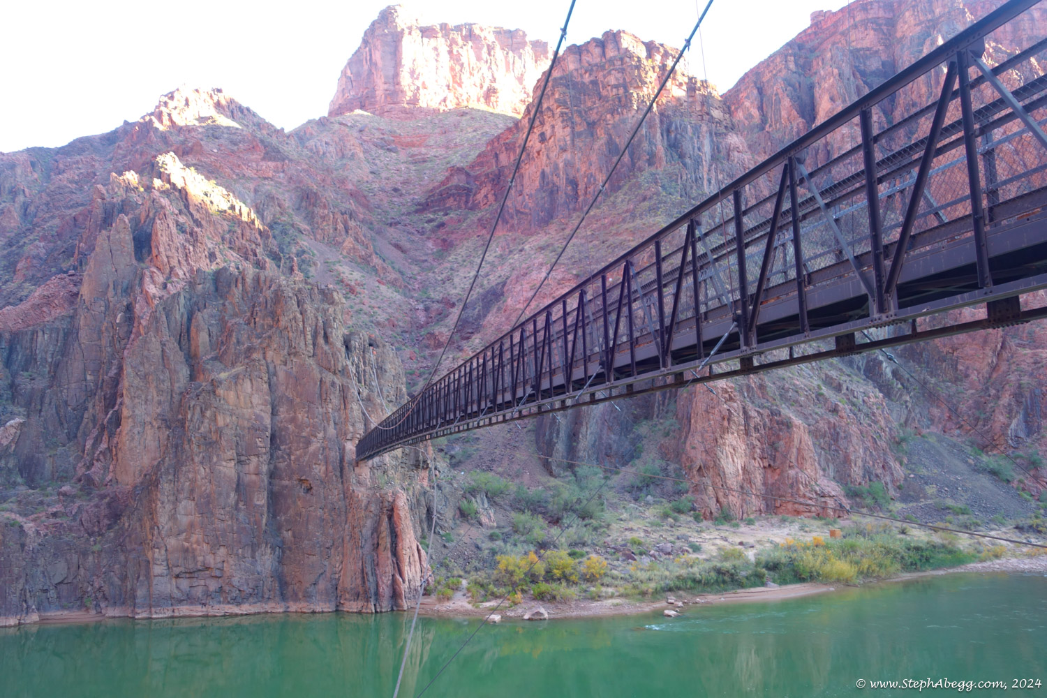
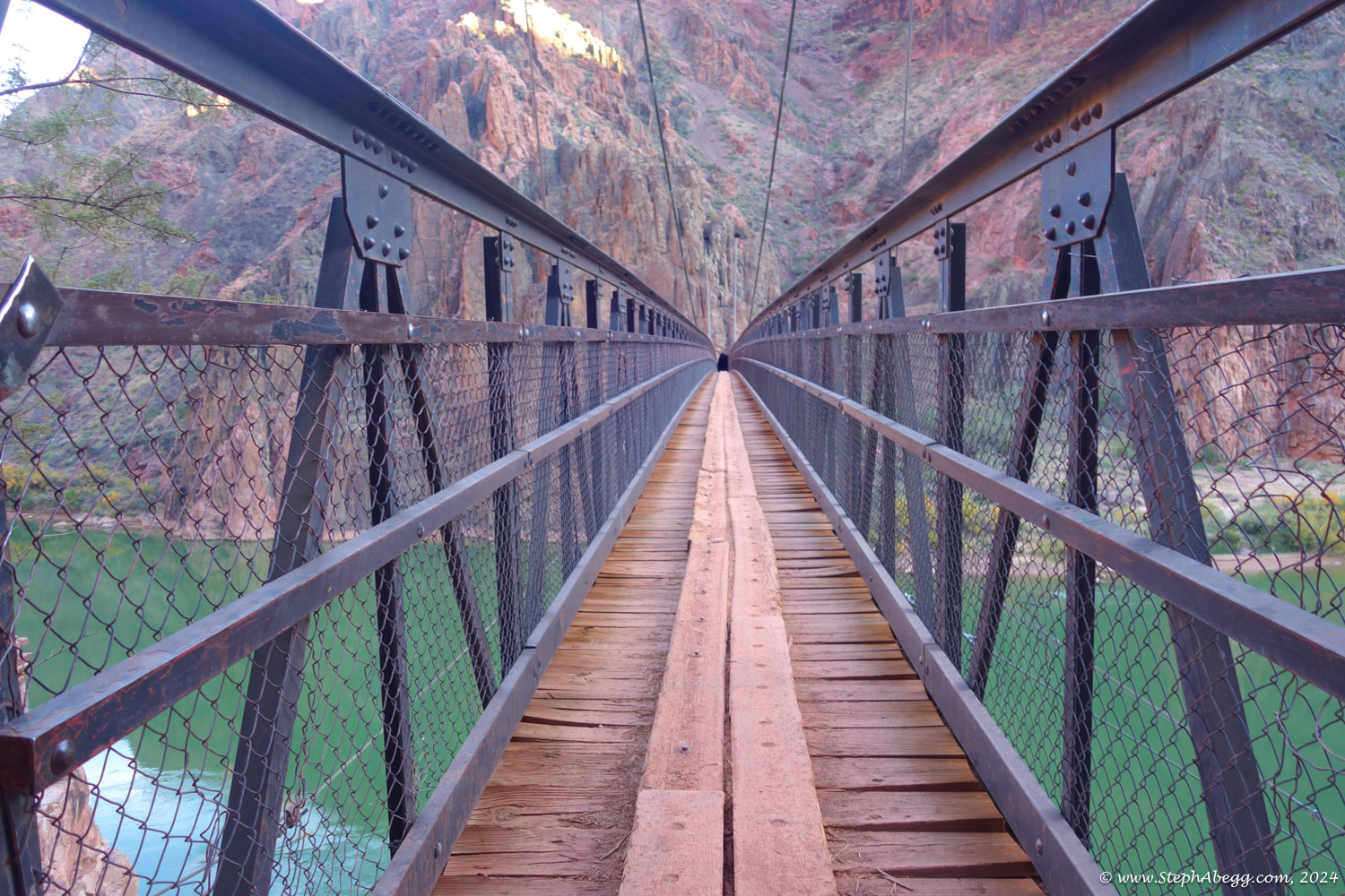
I was able to find water at the beach area just after the bridge, Phantom Ranch, Cottonwood Campground, and Manzanita Rest area. I never needed to carry more than 1L with me. By filling up at each location (Cottonwood and Manzanita, and beach area and Phantom Ranch were close enough I could only drink 0.5L between) I drank 6.5 L over the course of the day.
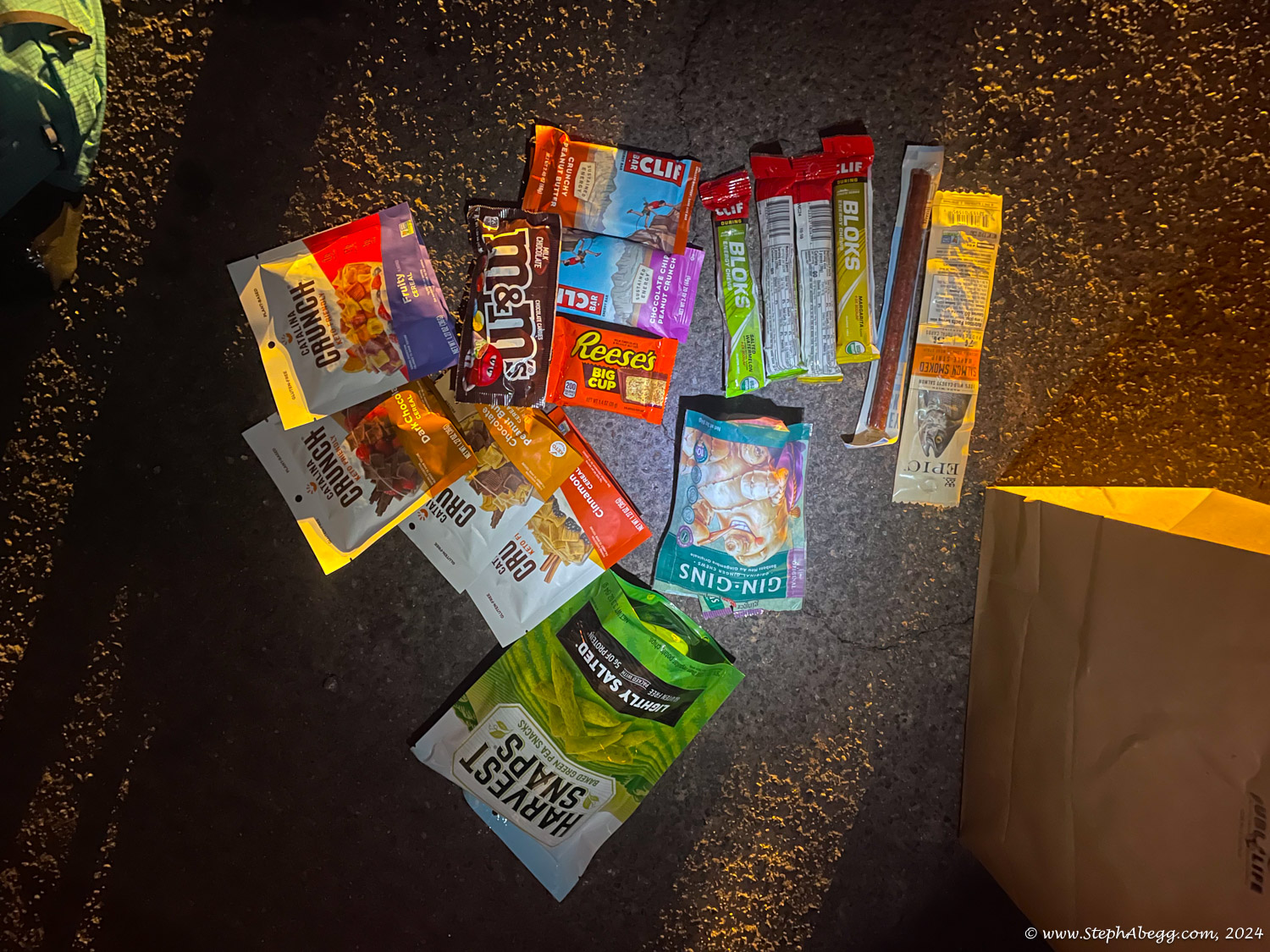
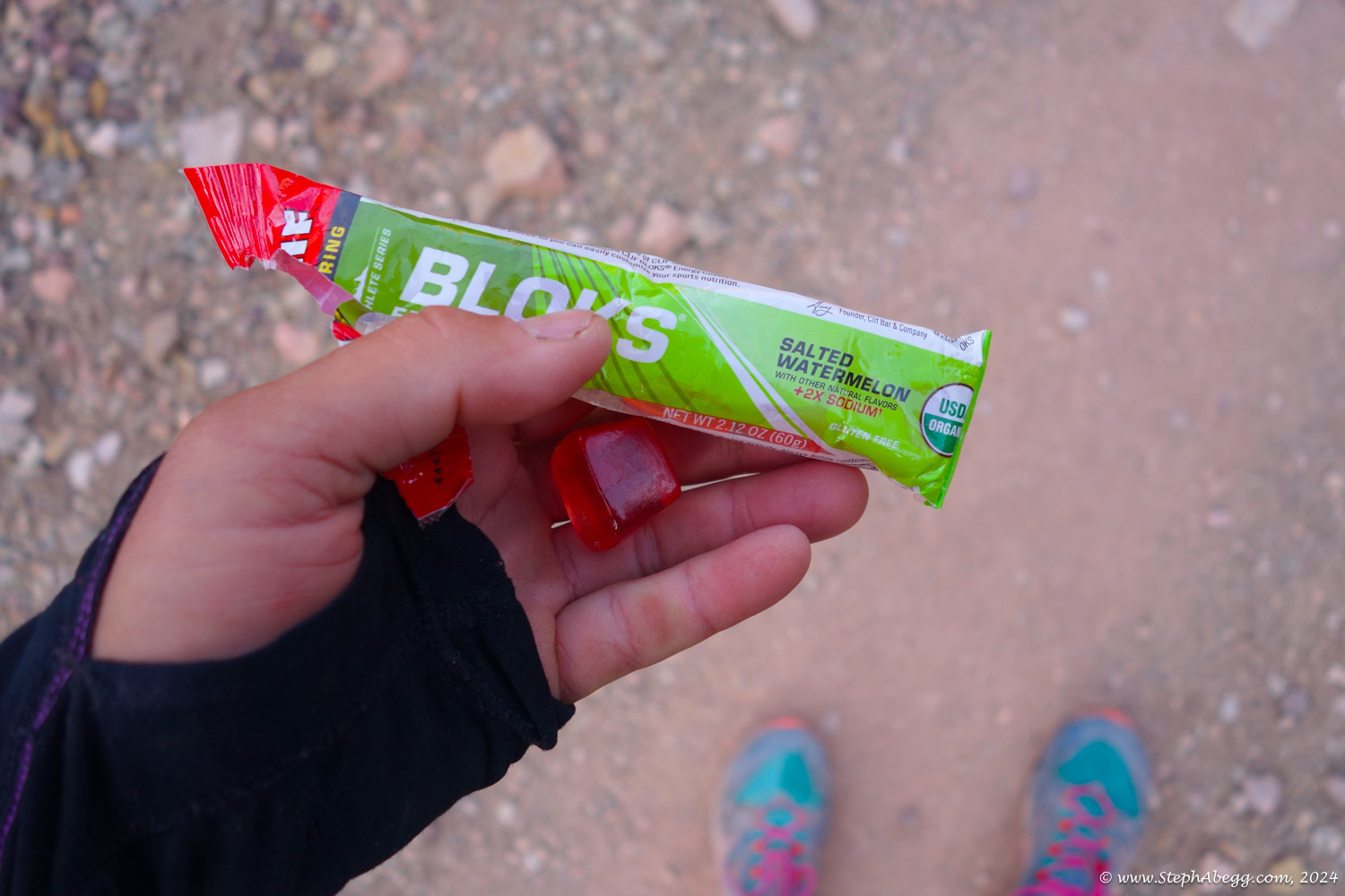
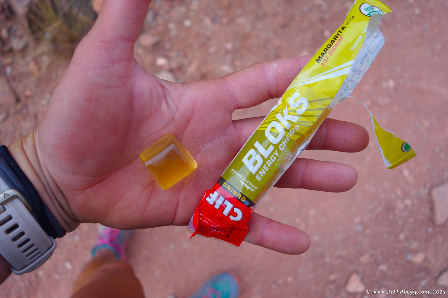
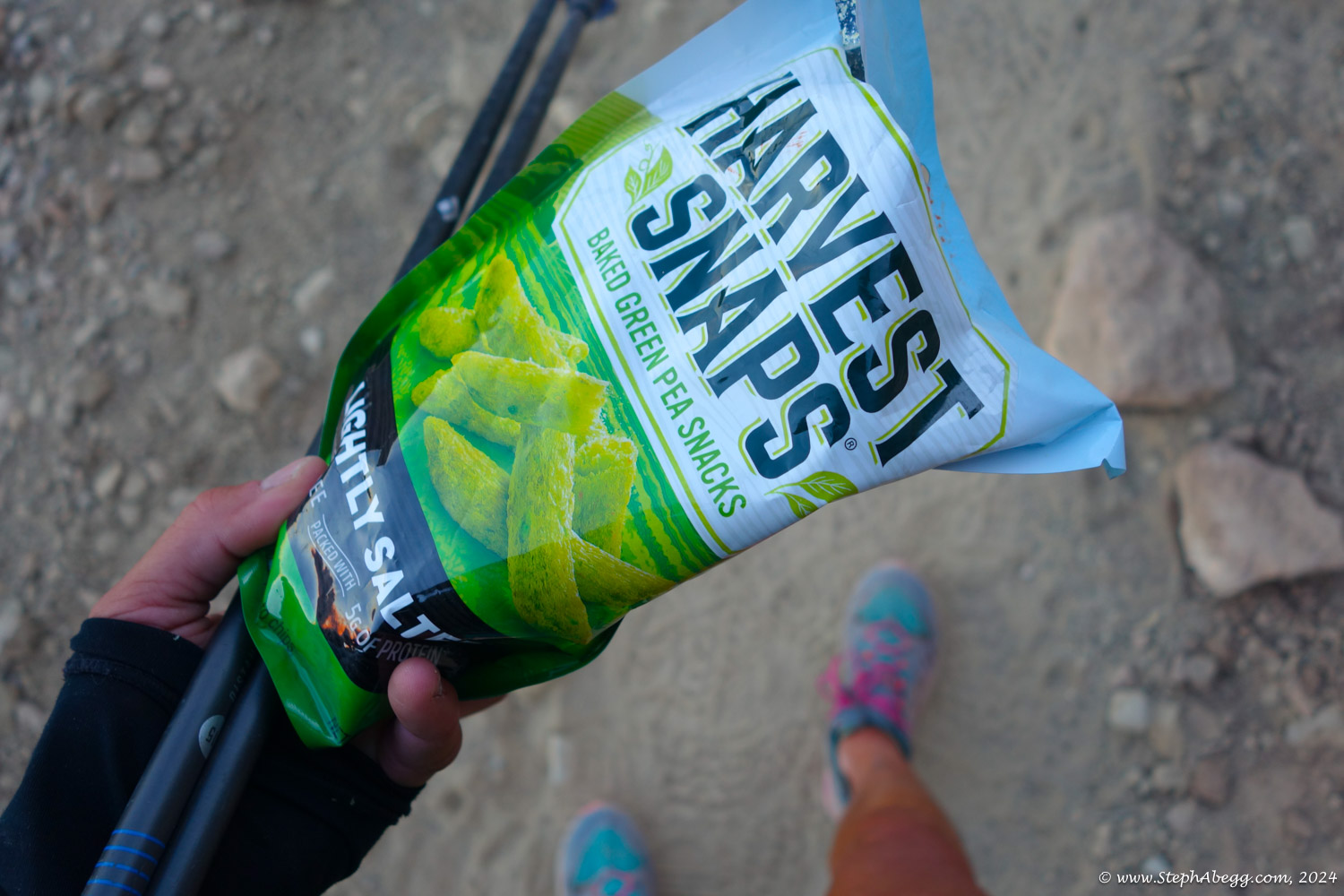
I ate 3000 calories of Clif Bloks, chocolate bars, Clif bars, cereal, pea snaps, and ginger chews. It must have been enough because my energy never flagged.
My main complaint was that my feet hurt, which was probably a combination of my shoes (I was trying out a new shoe) and hiking 43 miles without really stopping. Amazingly, my knee was fine (although admitedly I did feel a bit of returned pain in my fracture area the week following the r2r2r; fortunately the only repercussion of this was that I decided to forego my November ascent of Longs Peak in interest of my knee being ready for a Thanksgiving trip, breaking my 9-month streak of climbing to the summit of Longs).
I did not run on the r2r2r (apart from a 10 min sprint to collect my poles which I had left propped up by one of the water collection areas). I just tried to maintain a 3mph (20 min mile) pace, which I succeeded in doing, knocking off 21 miles in 7 hours both ways.
Although a slightly longer mileage and equivalent elevation loss/gain, the r2r2r was easier (shorter in time, more mindless) than the LA Freeway. But I was much more sore after the r2r2r. I actually found it difficult to walk the next day. Fortunately I was just driving 12 hours back to Estes Park.
My Garmin watch clocked in at 93,586 steps.
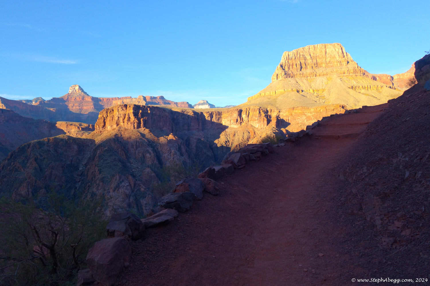
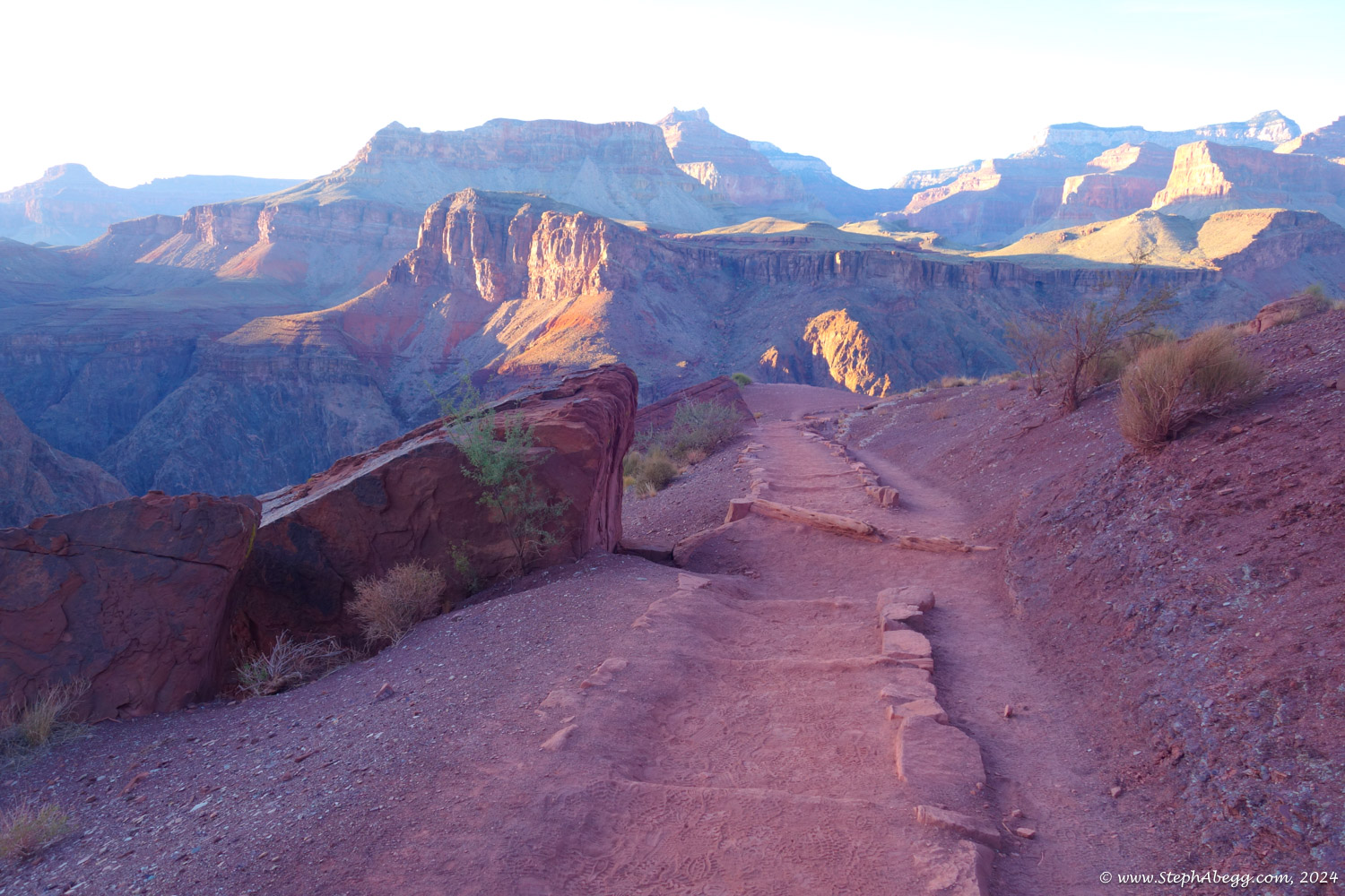
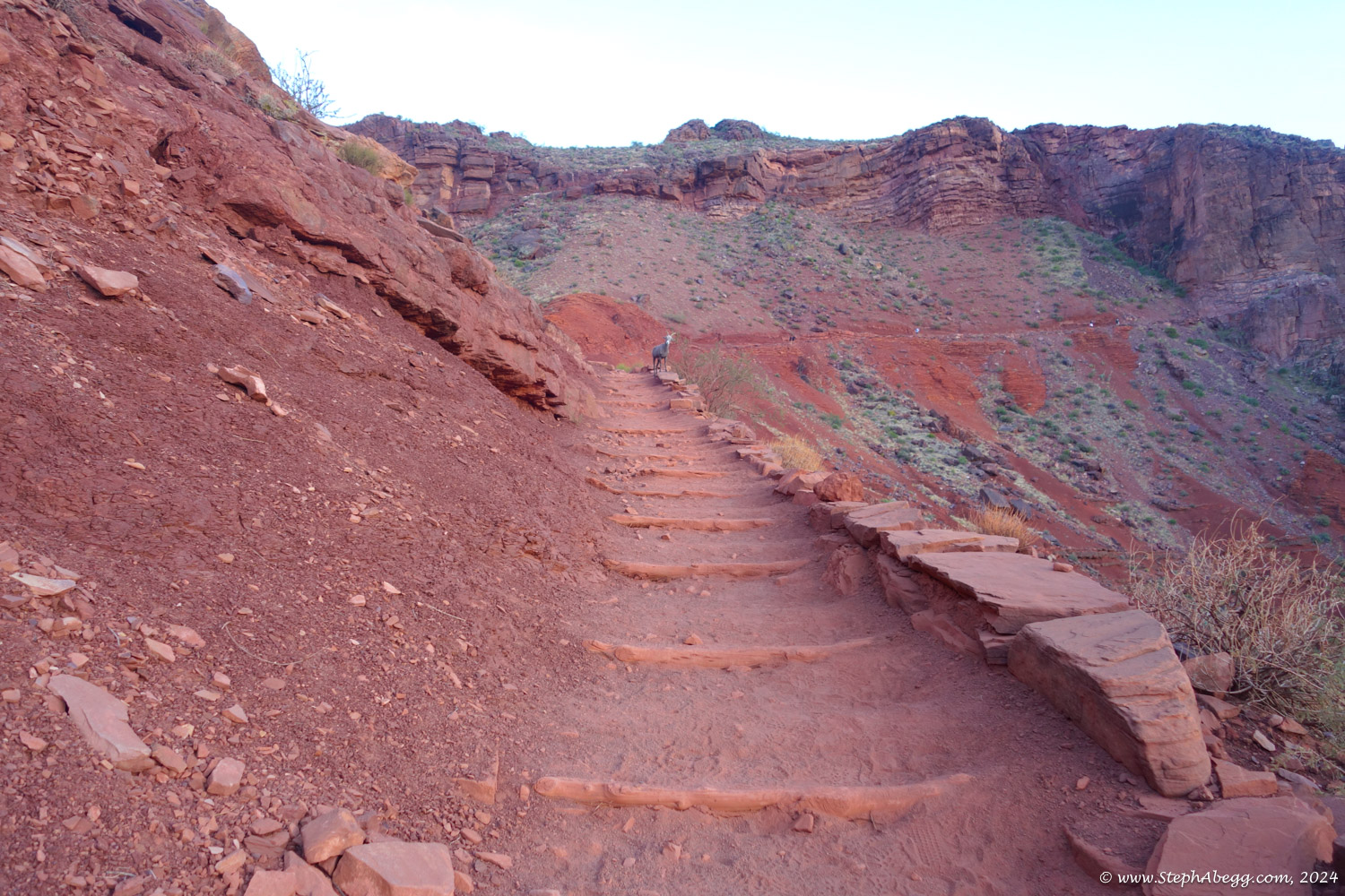
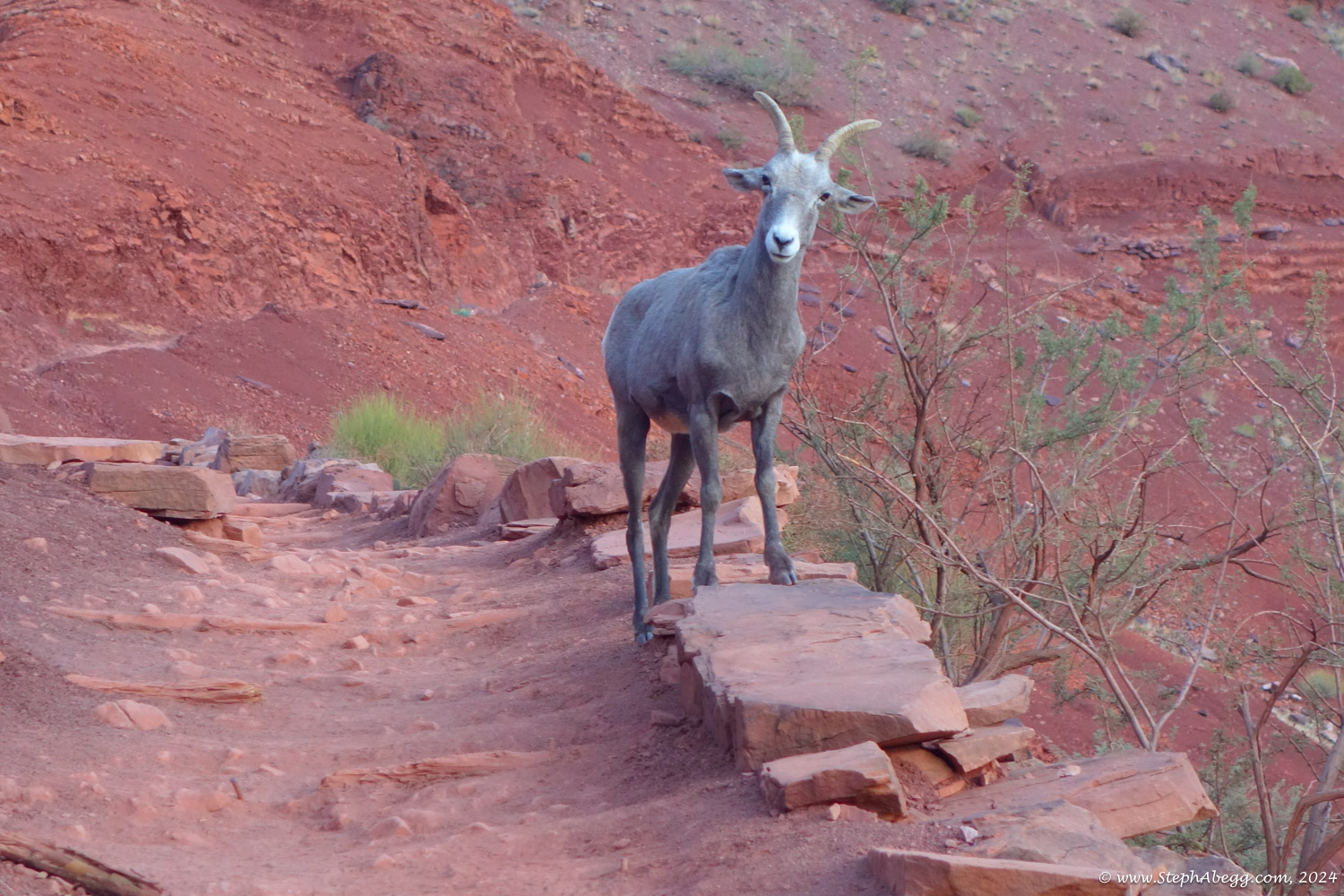
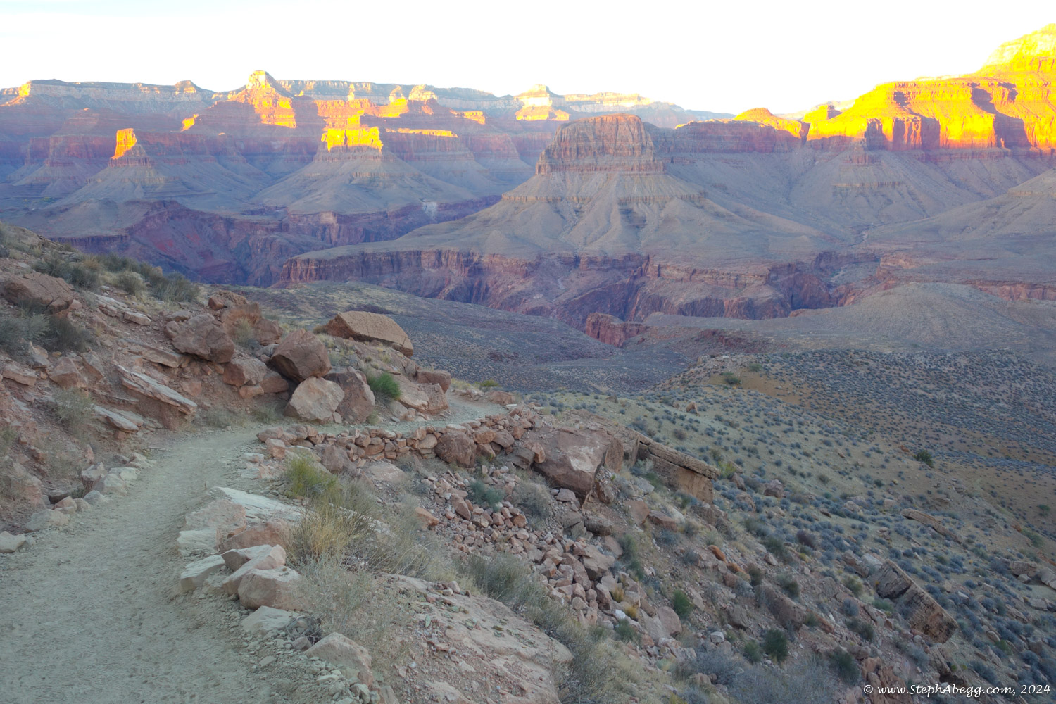
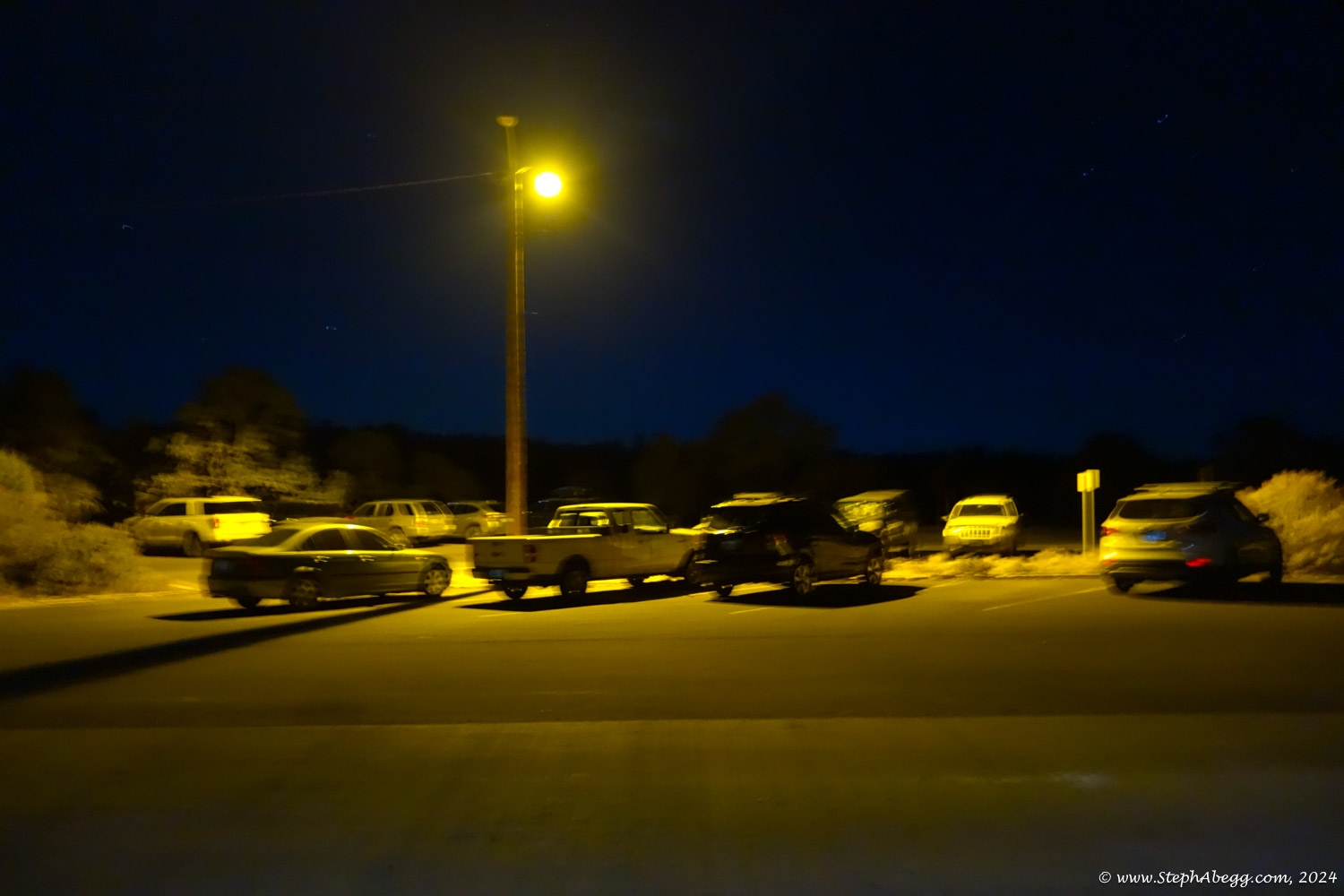
The following page gives a map, time stats, and photos from my rim-to-rim-to-rim adventure.