Intro
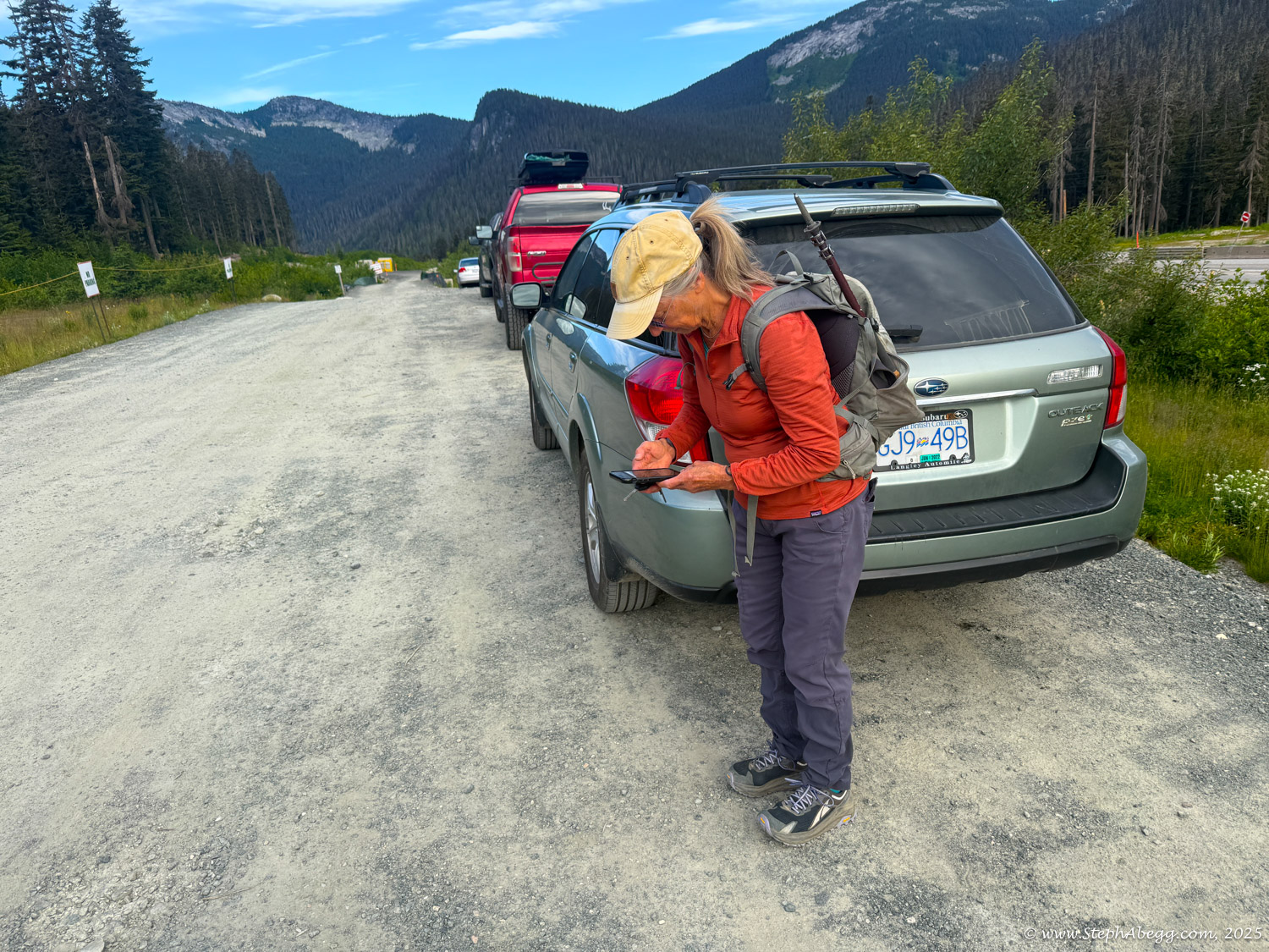
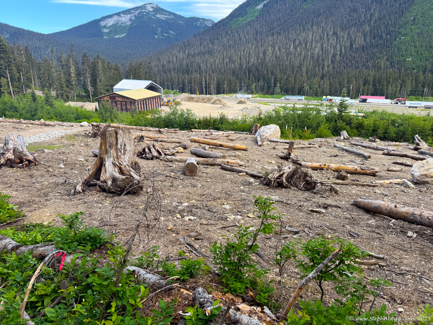
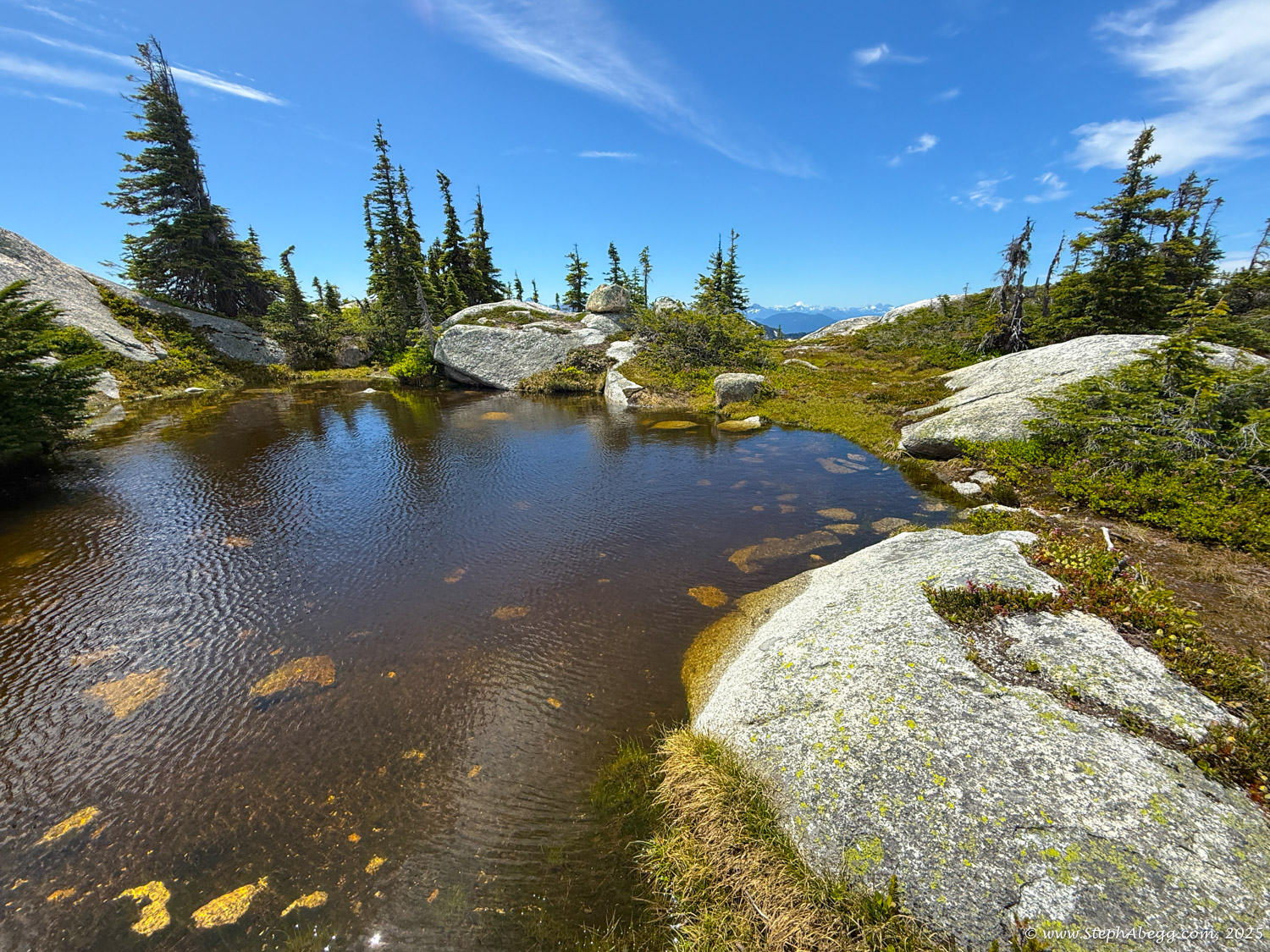
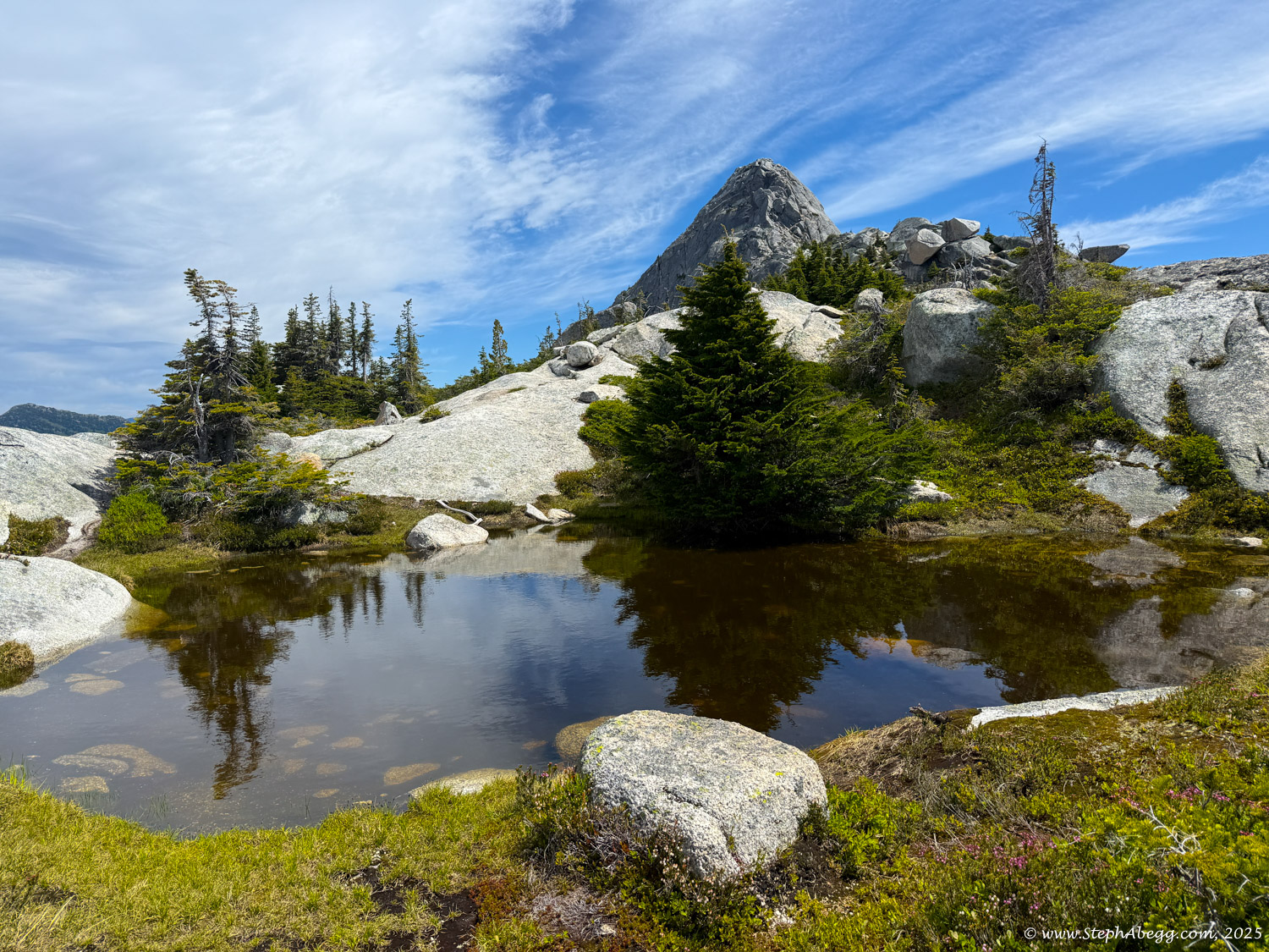
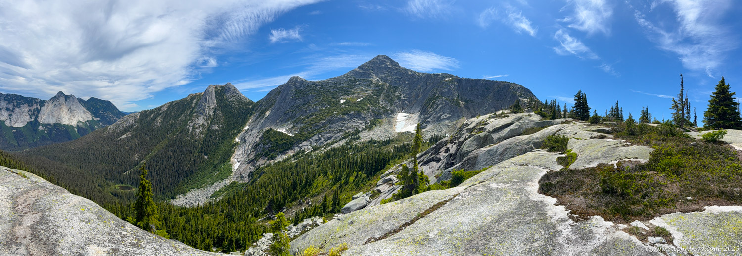
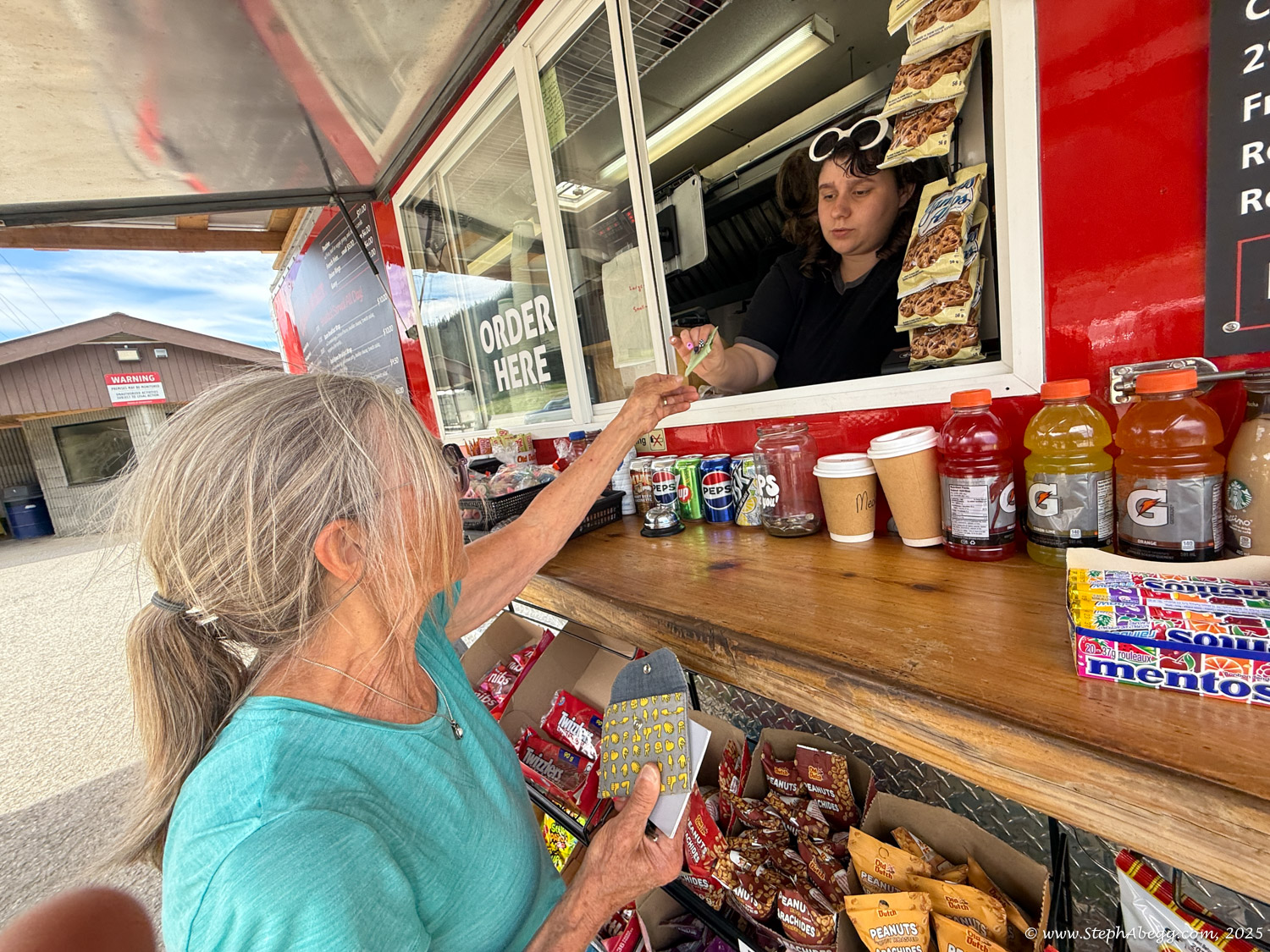
I was visiting my parents in Chilliwack, BC, and my mom and I were looking for a day in the nearby mountains. On the recommendation of my sister Jenny, we settled on the Markhor–Needle Traverse in the Coquihalla Summit Recreation Area. This scenic loop links Markhor Peak and Needle Peak via an aesthetic granite ridgeline.
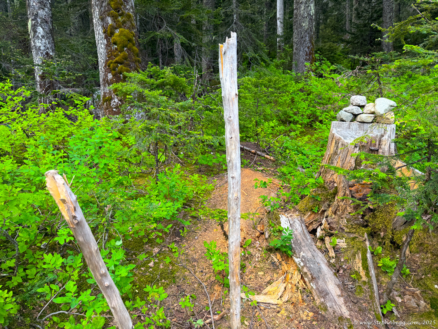
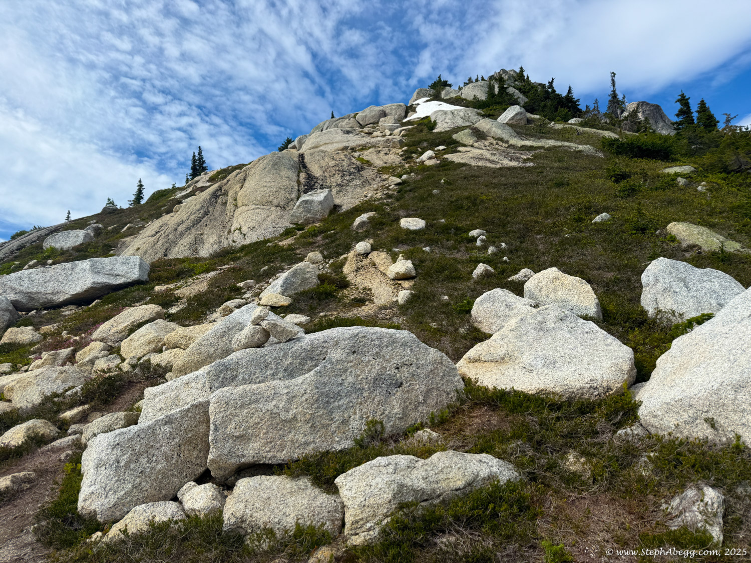
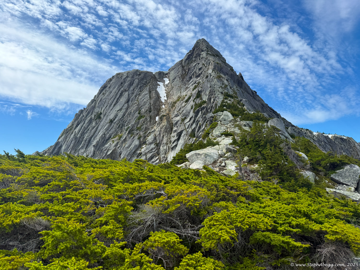
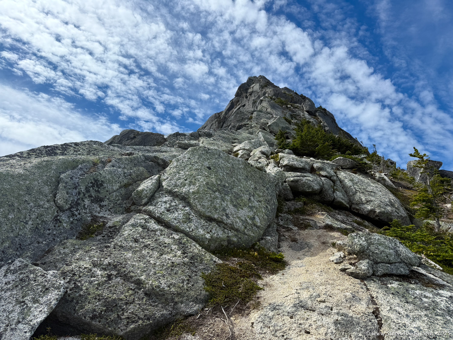
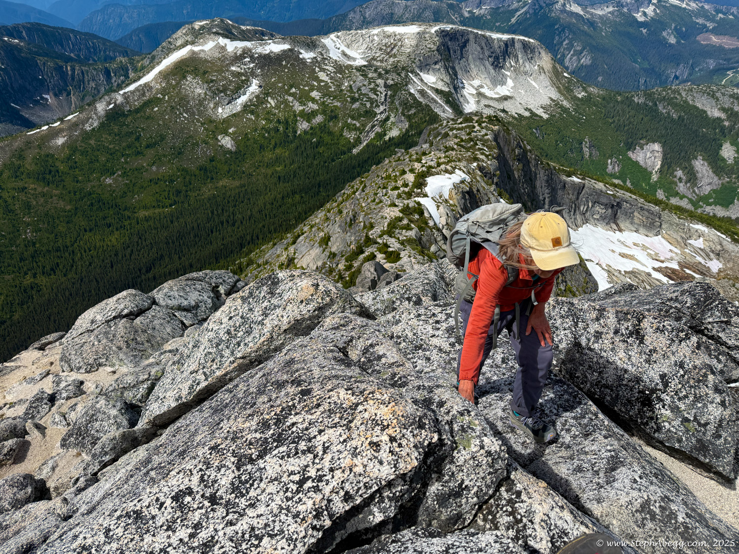
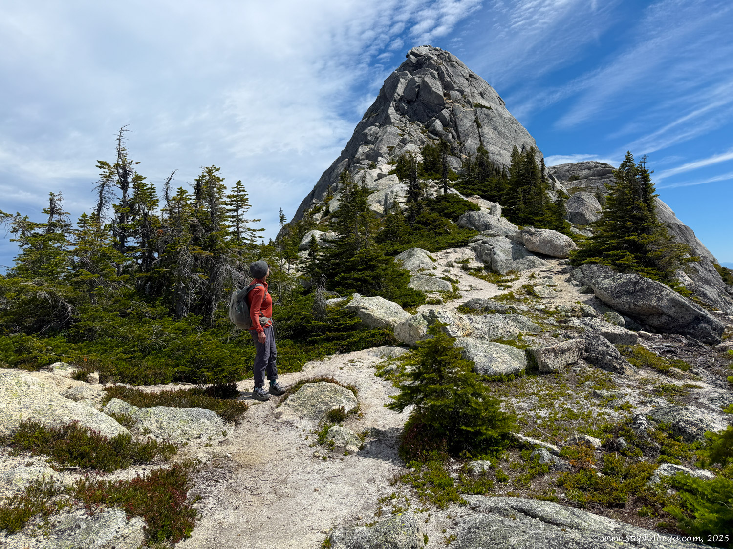
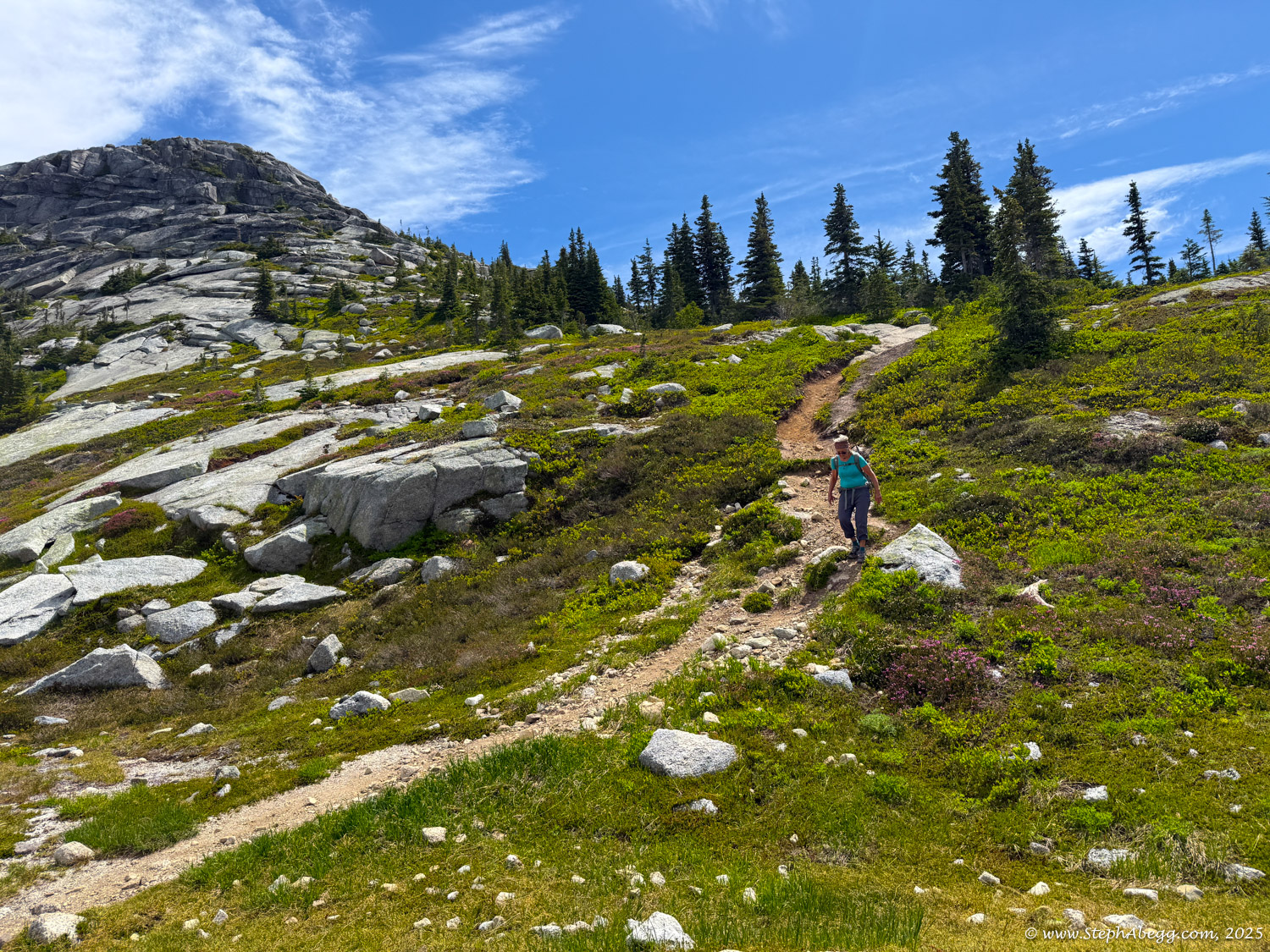
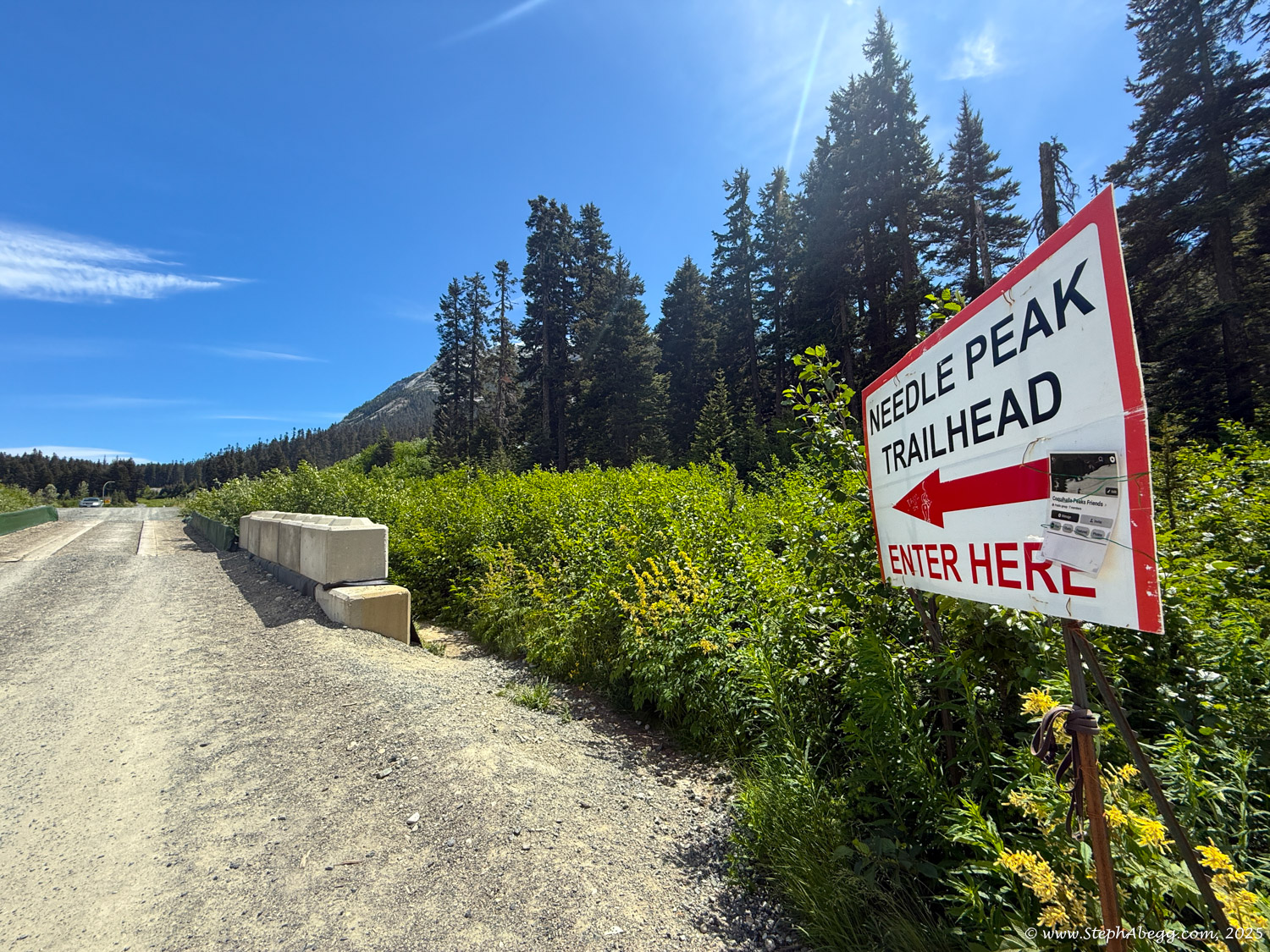
Since my mom wasn’t keen on the steep climber’s trail up Markhor or the 4th class downclimb along the ridge, she opted for the more straightforward route: hiking up the Needle Peak trail, scrambling to the summit (3rd class), and meeting me there.
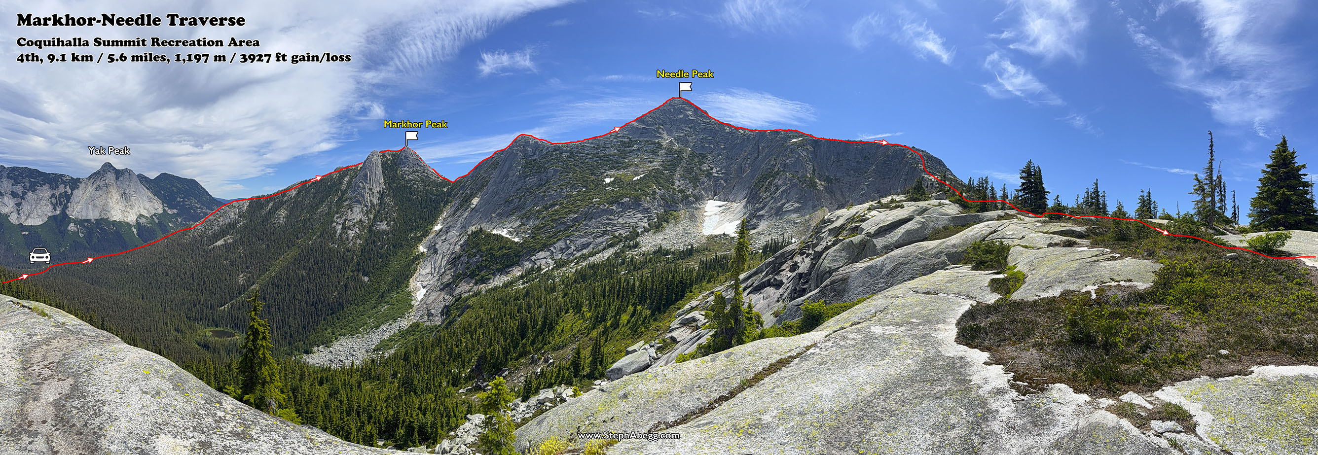
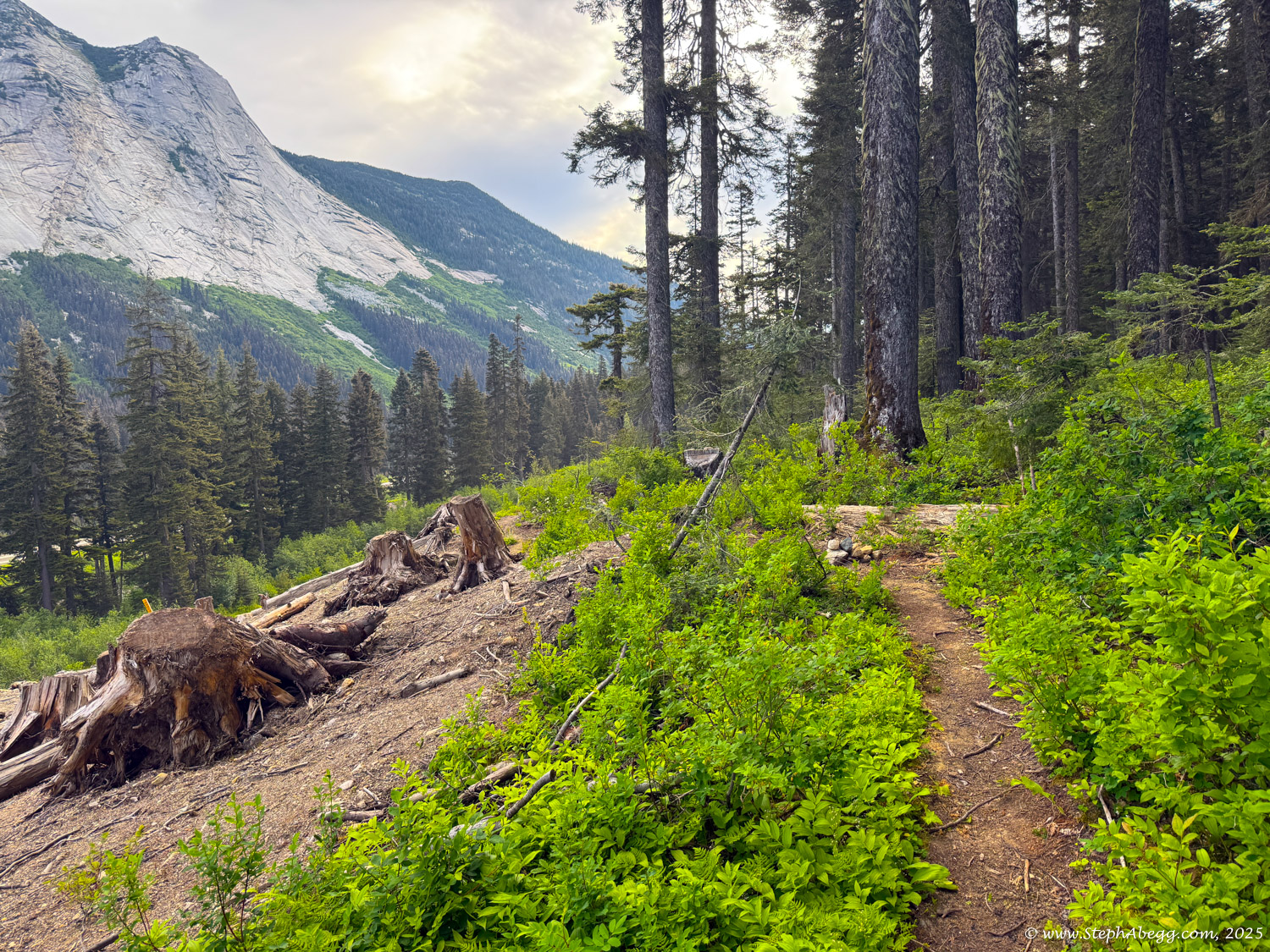
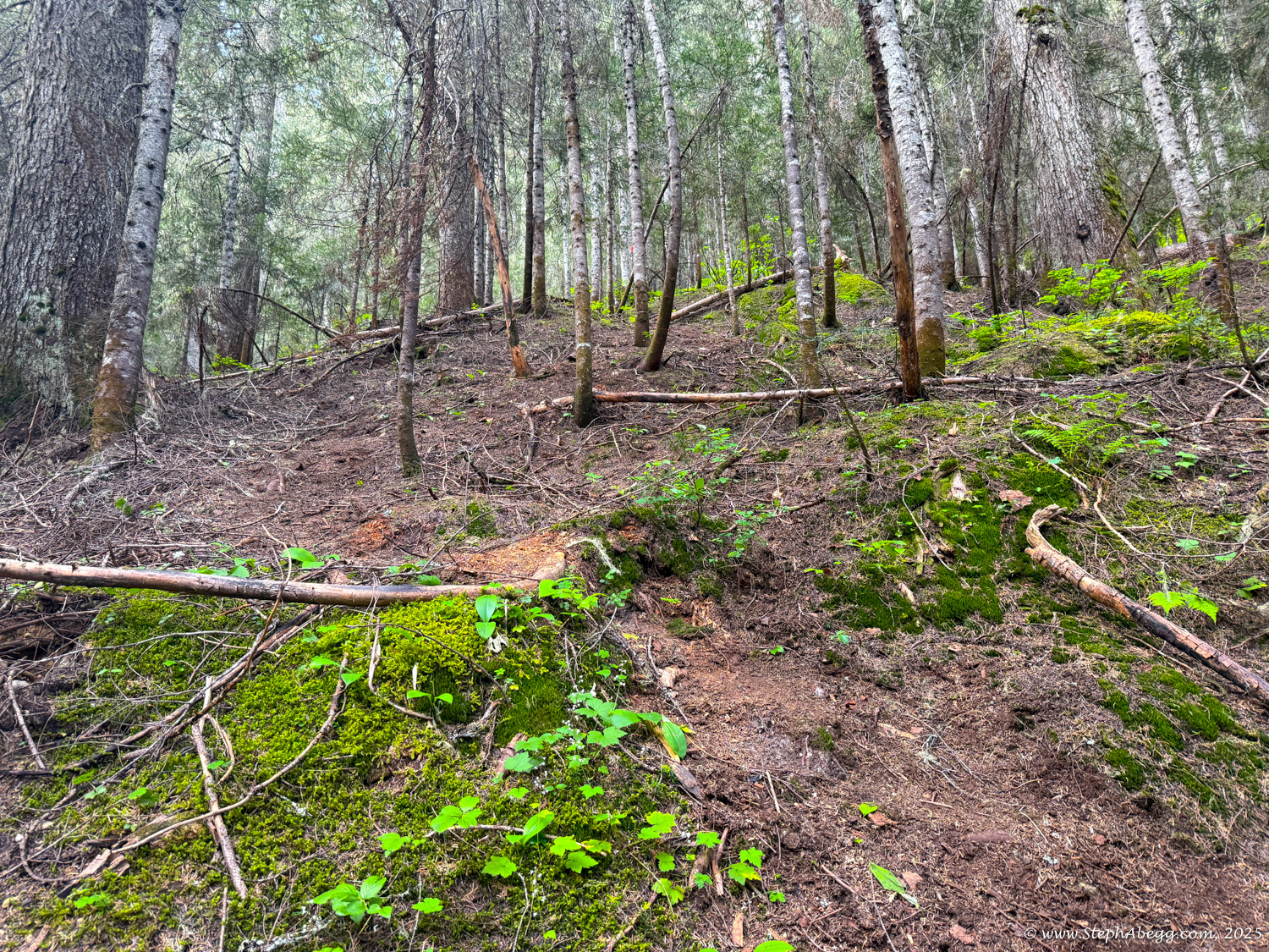
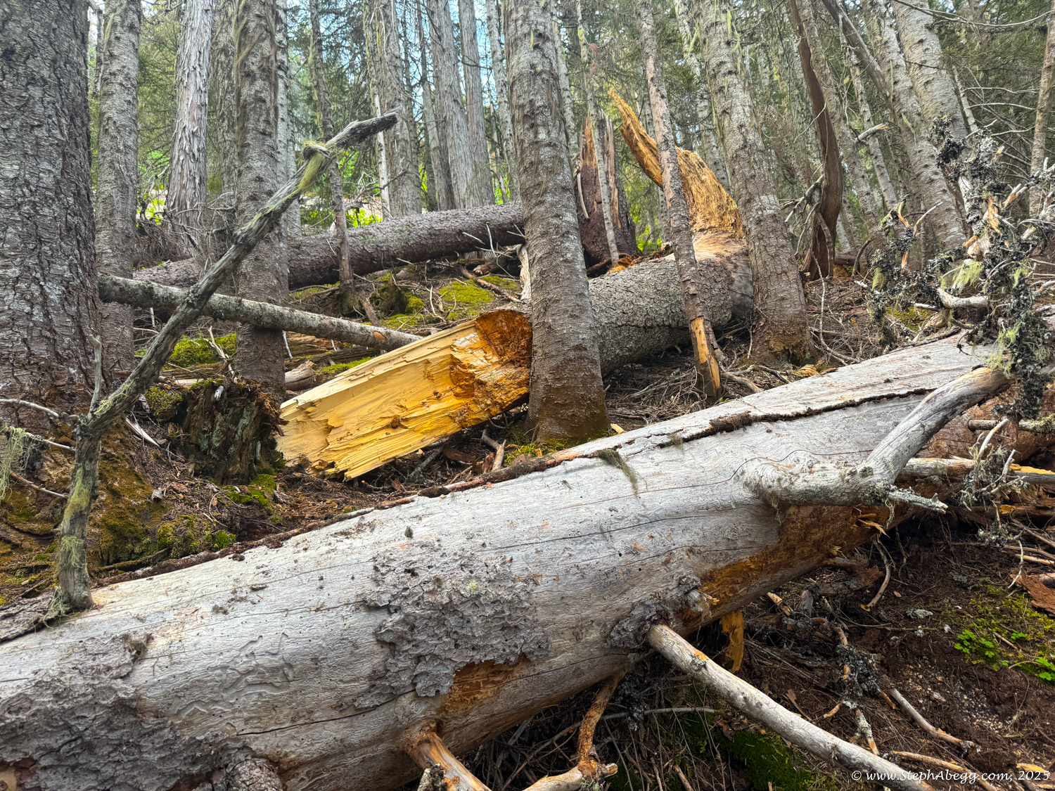
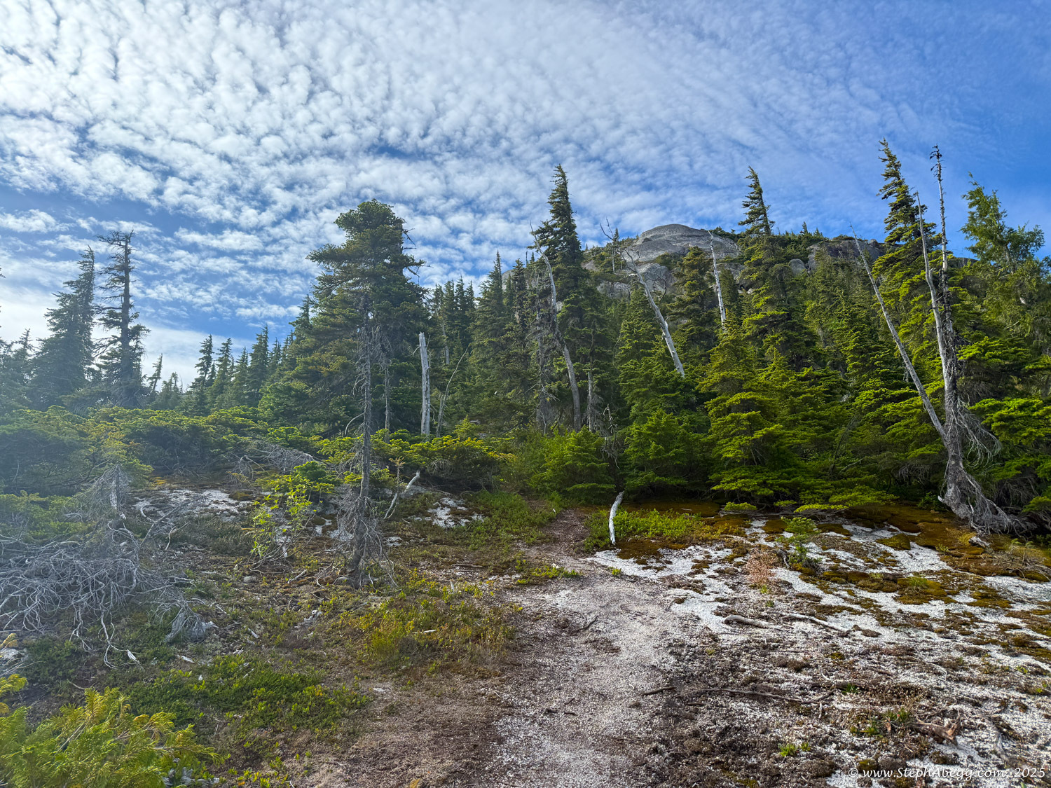
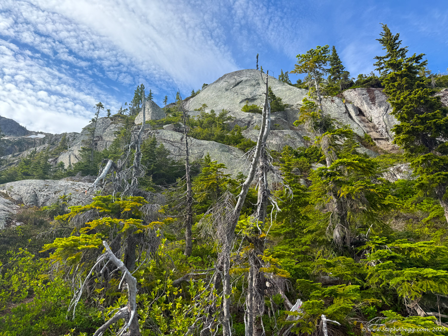
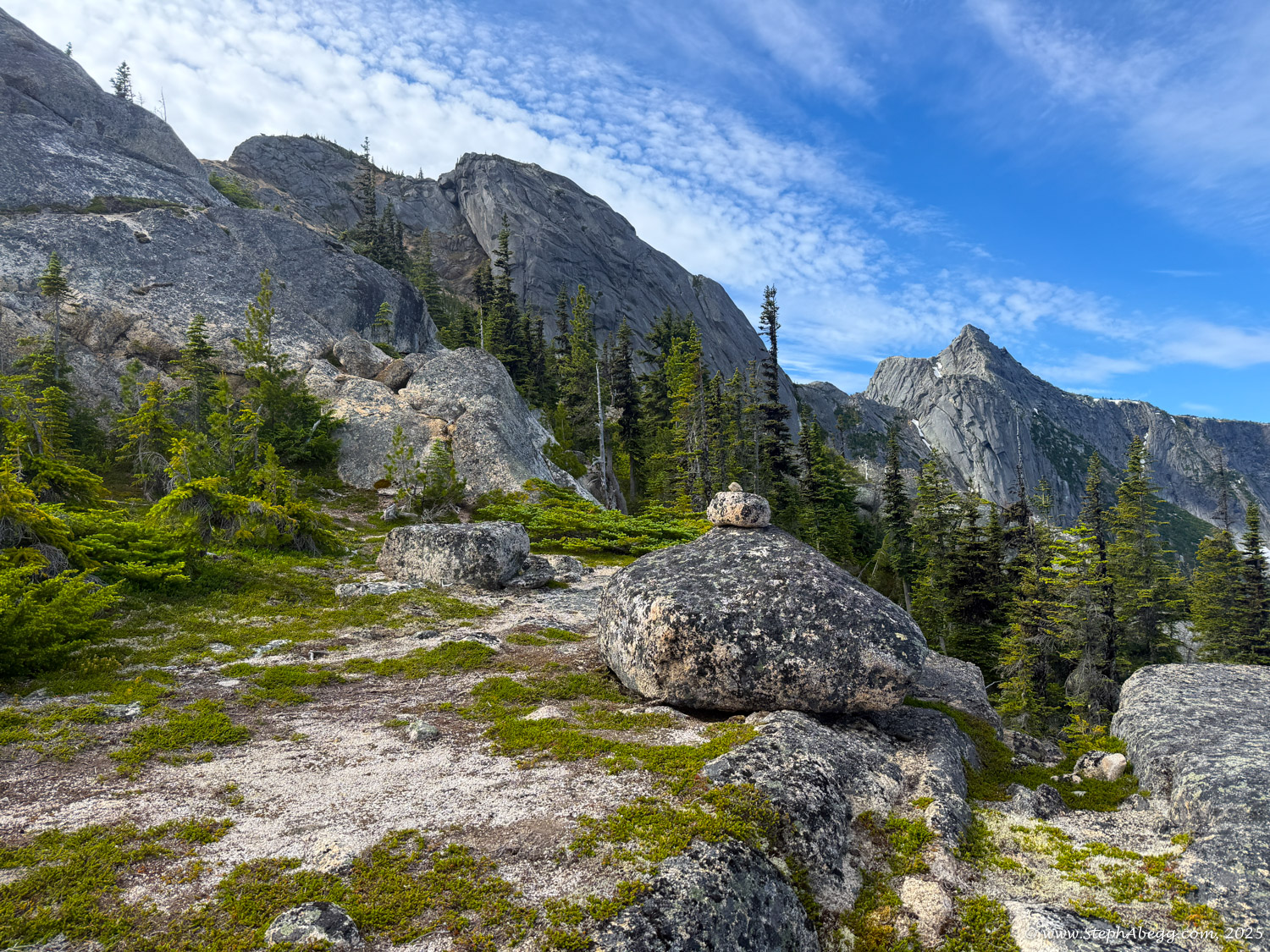
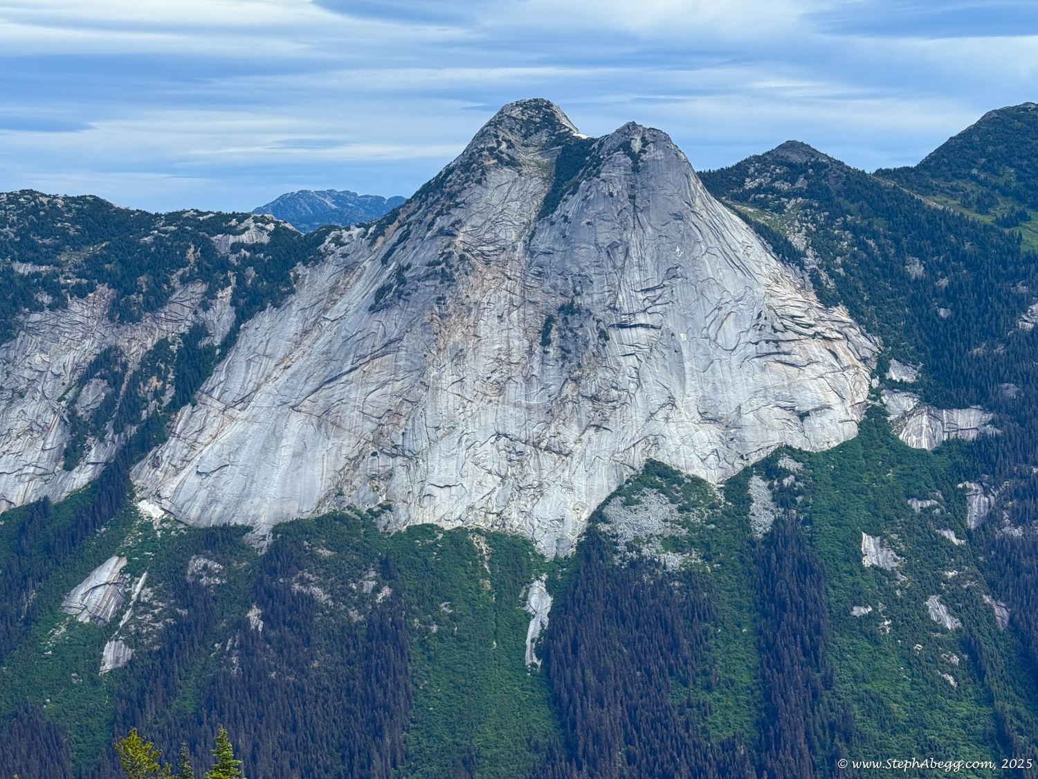
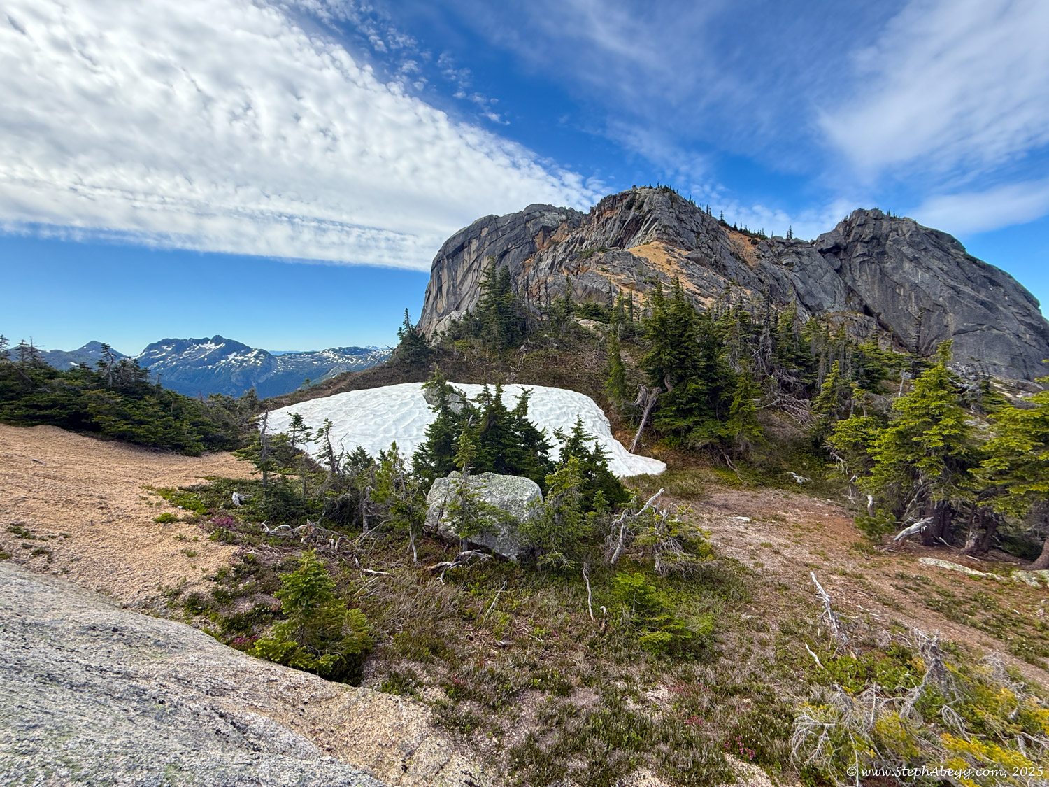
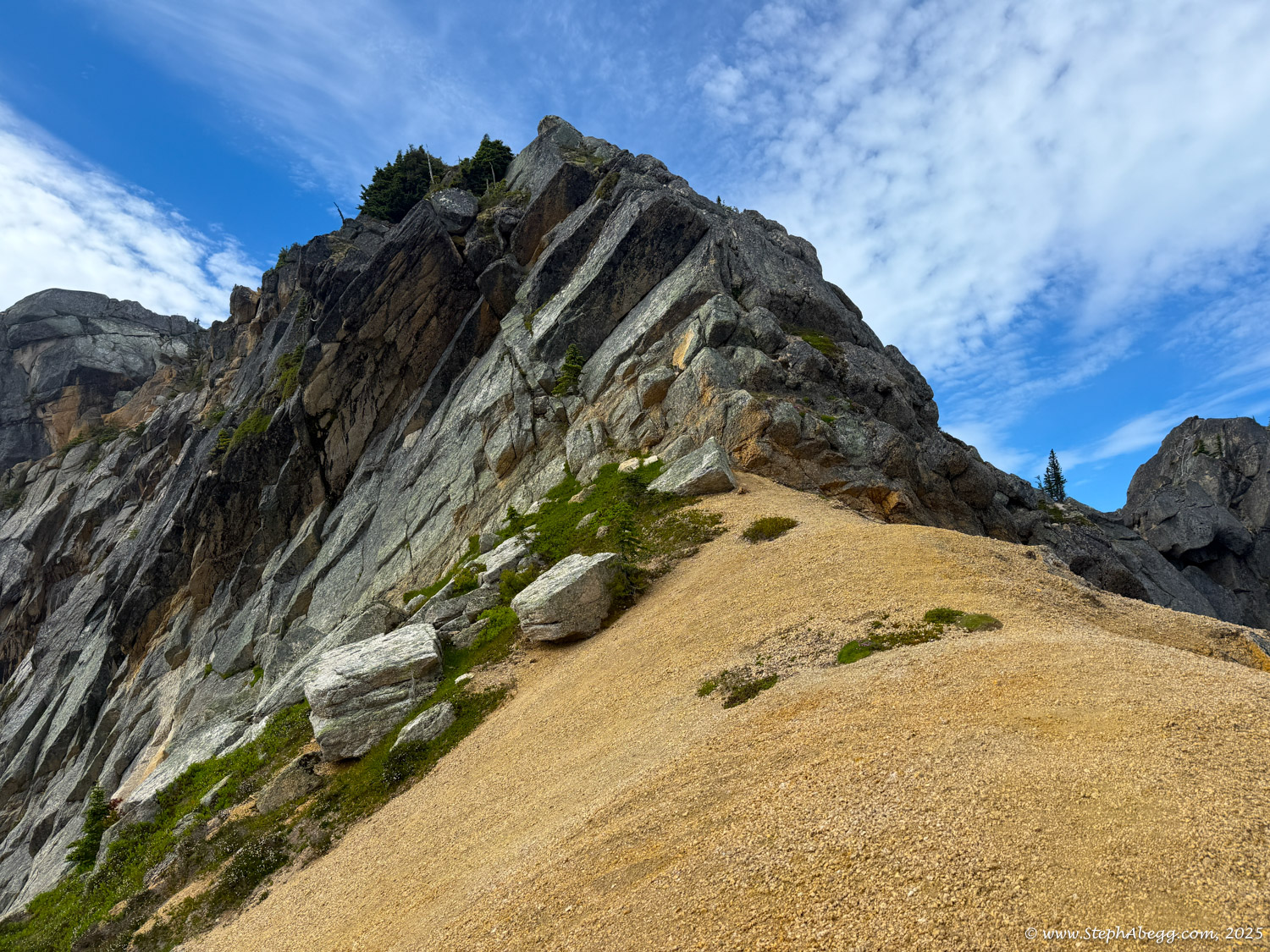
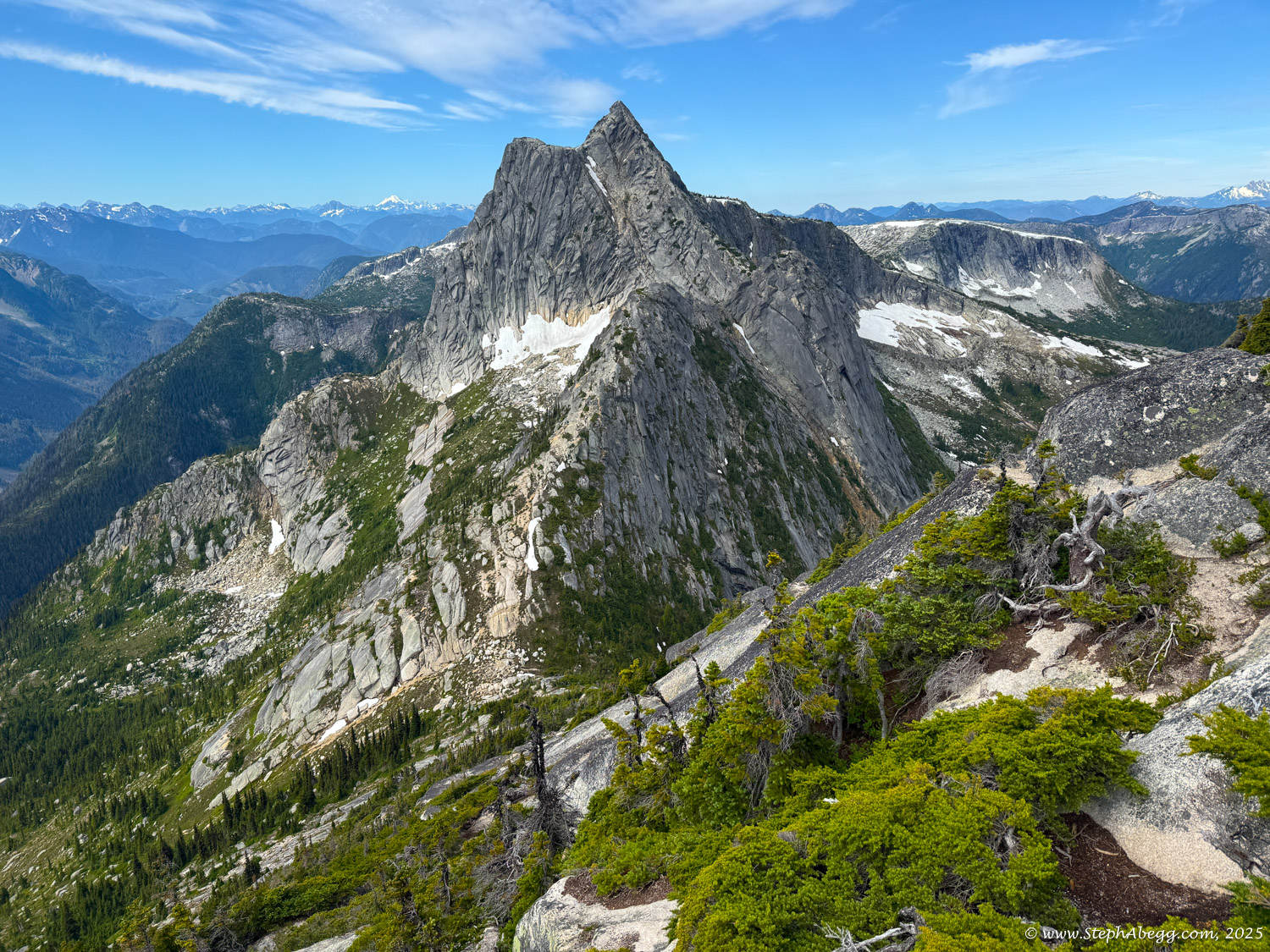
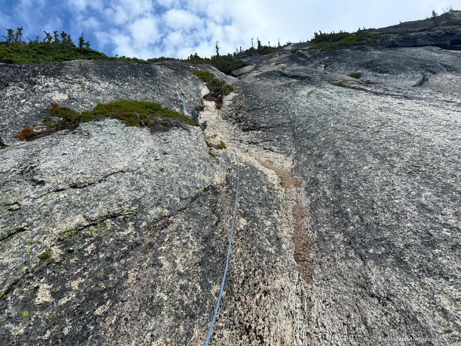
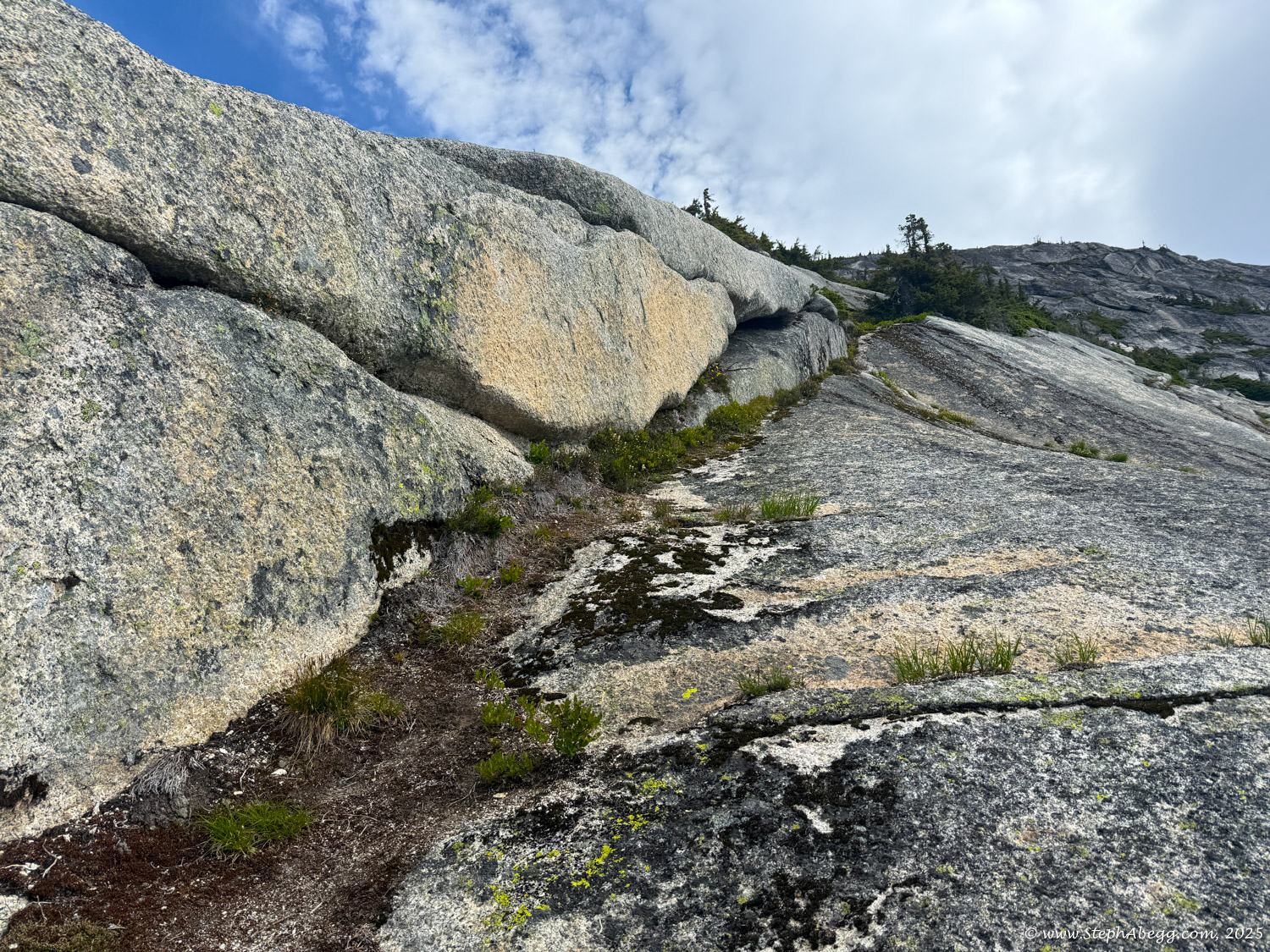
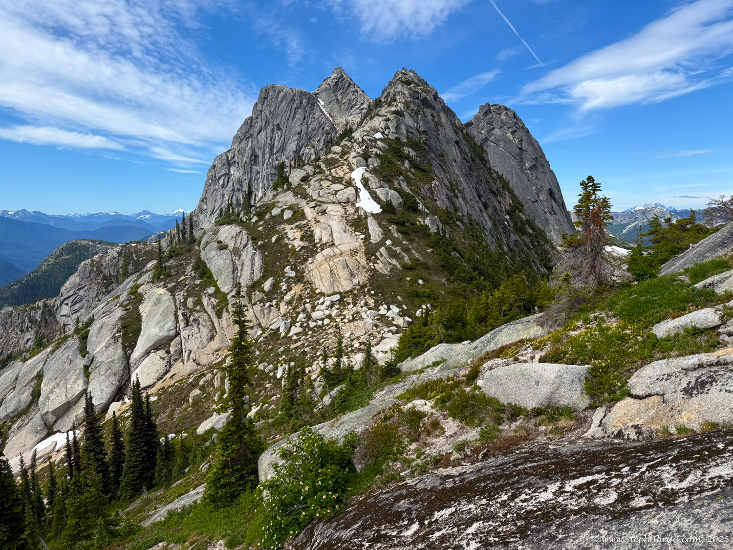
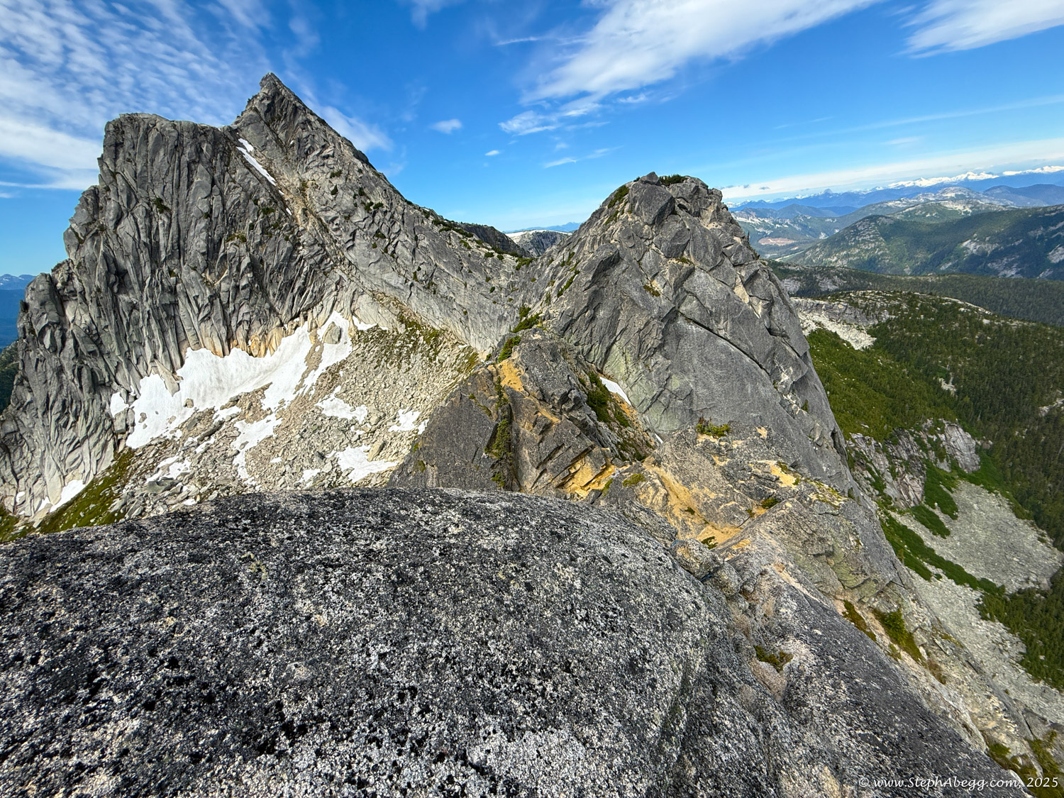
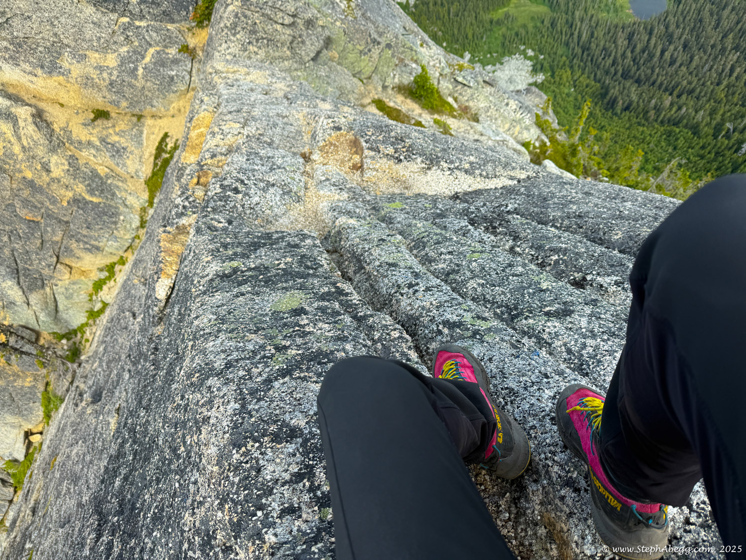
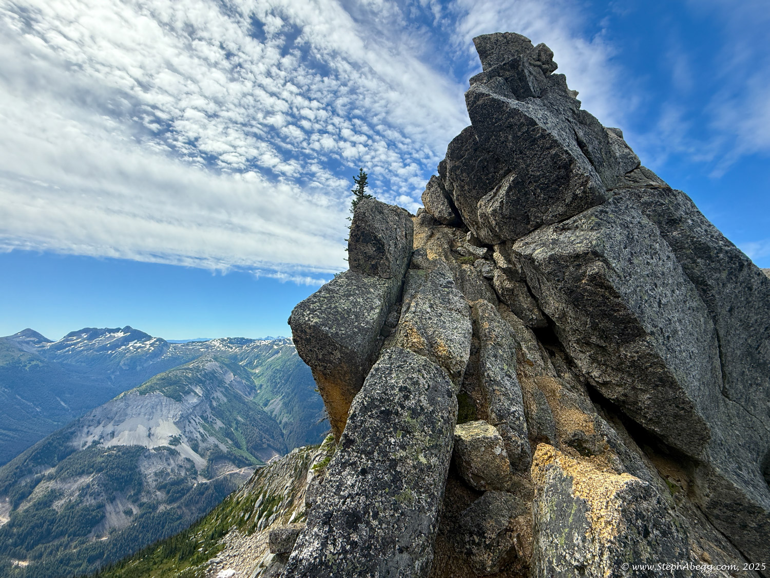
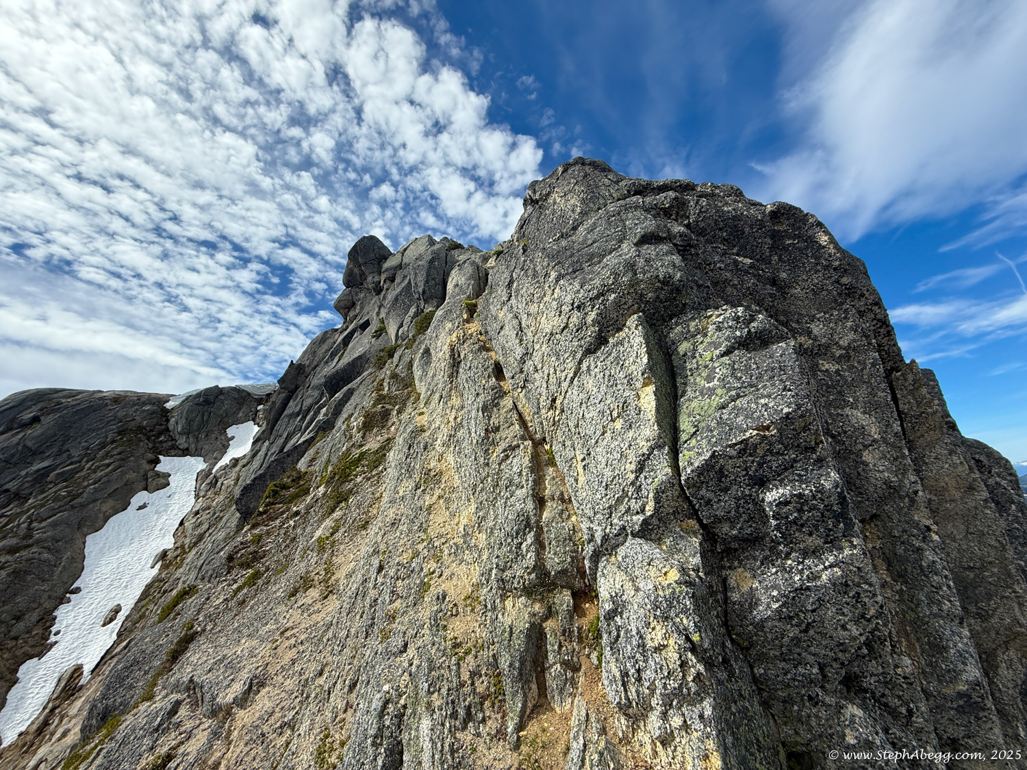
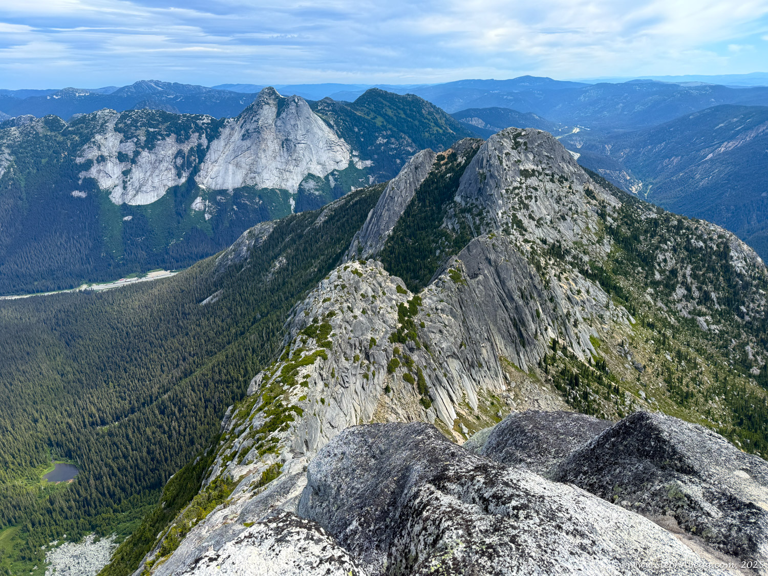
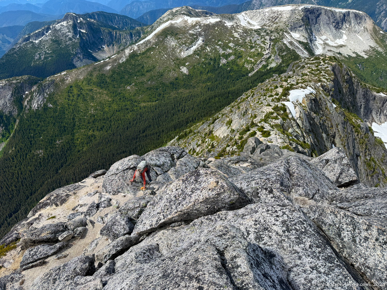
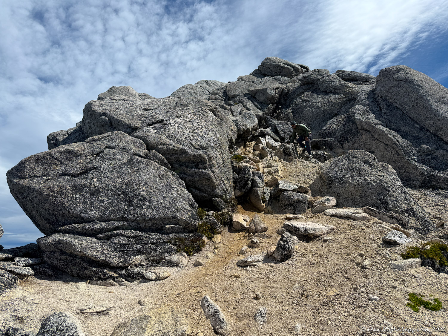
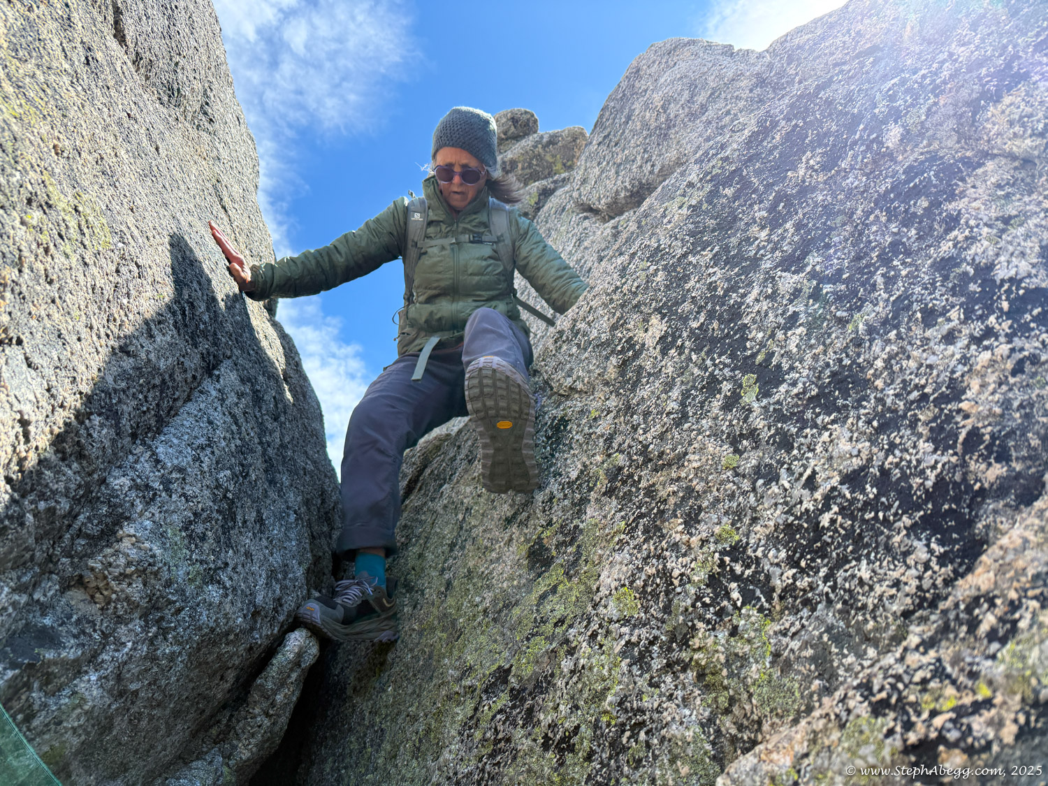
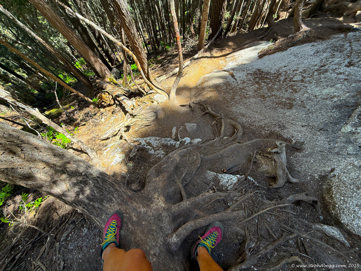
The Markhor–Needle Traverse starts with a steep climber’s path through forest and slabby granite, leading to the summit of Markhor. A slabby downclimb on the south side of Markhor marks the beginning of the traverse to Needle. The route features mostly solid rock, with occasional patches of kitty litter, some bushy bits, and healthy exposure. The crux is a short but exposed 4th class downclimb along an arete. Otherwise, the scrambling is mostly cruiser 2nd and 3rd class, following a striking line up to the summit of Needle. From there, the descent follows Needle’s west ridge and rejoins the main trail back to the car.
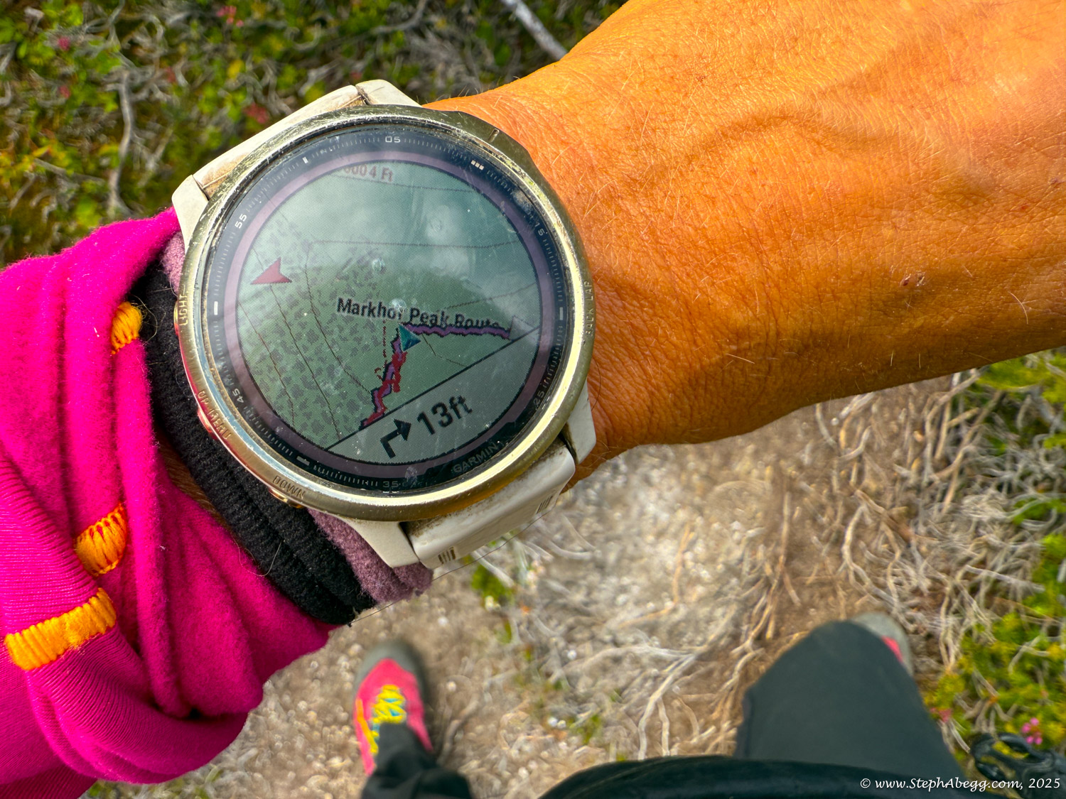
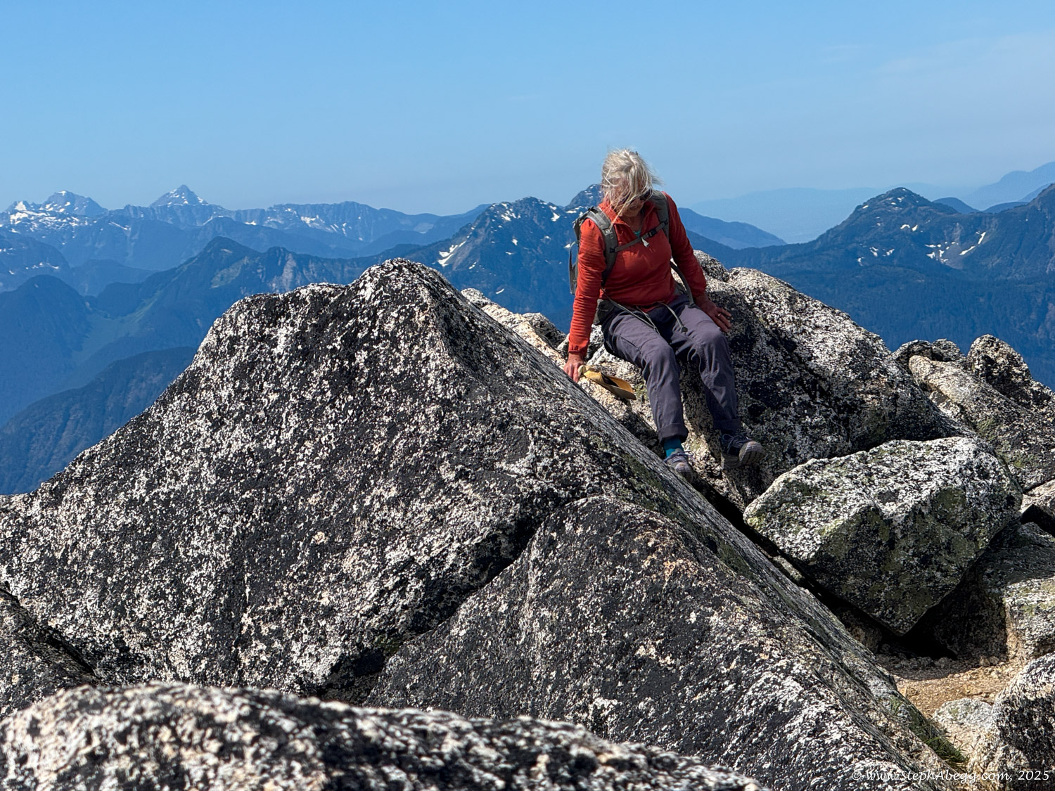
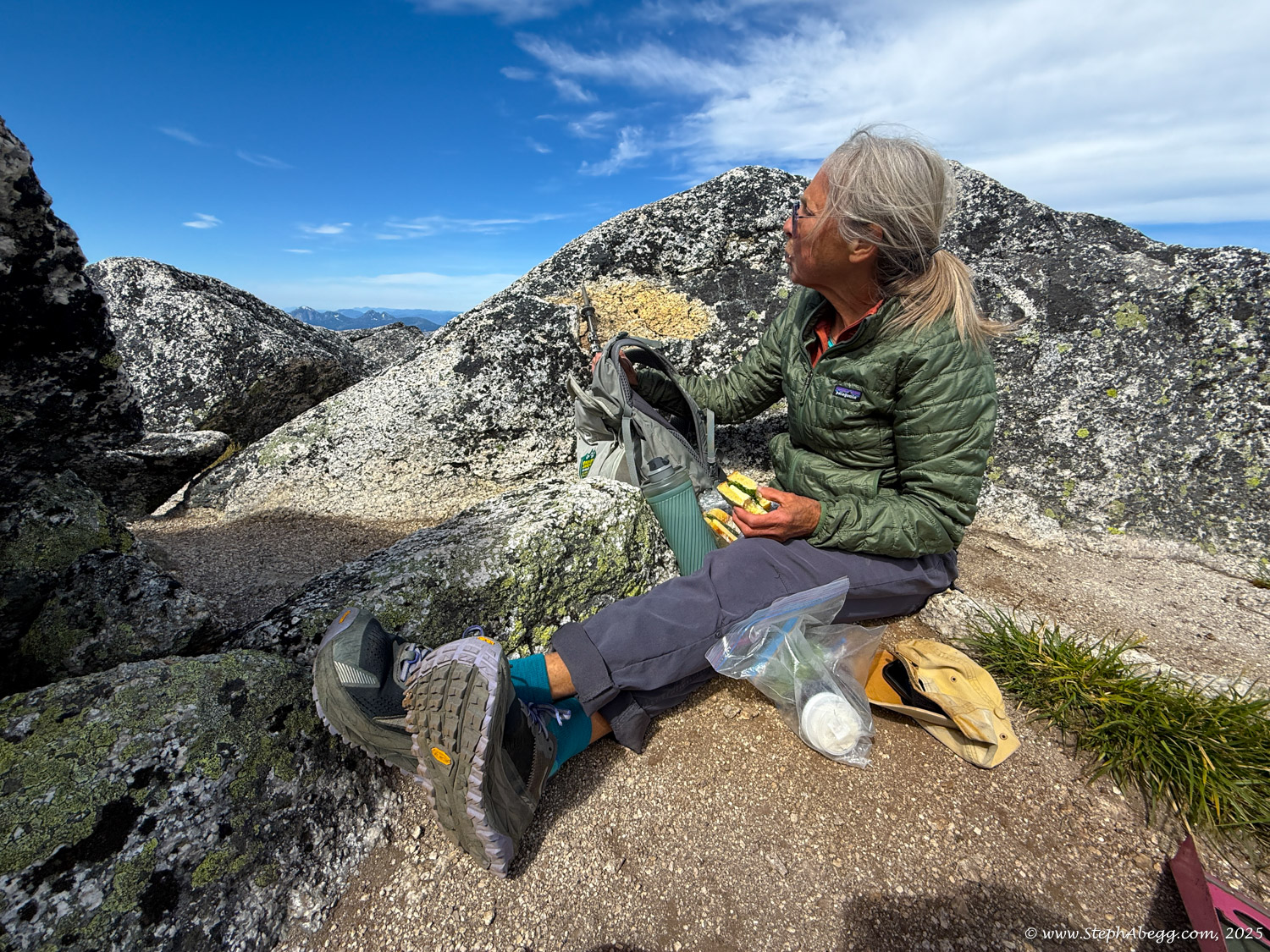
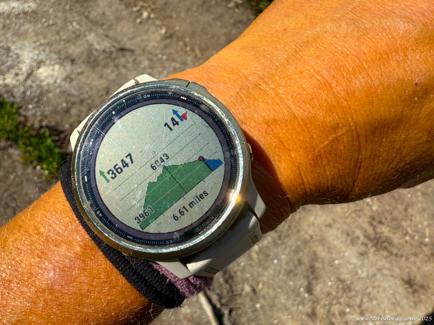
The route was scenic and fun, and in just 2 hours and 18 minutes I found myself on the summit of Needle Peak. My mom arrived about 10 minutes later. We enjoyed a leisurely lunch on top before heading down. All in all, it was a short but rewarding mountain outing—3,900 feet of elevation gain and loss for me, around 3,000 for my mom. On the drive home, she mentioned that it was too short of a day. She’s 75. It was really special to share an adventure like this with her.
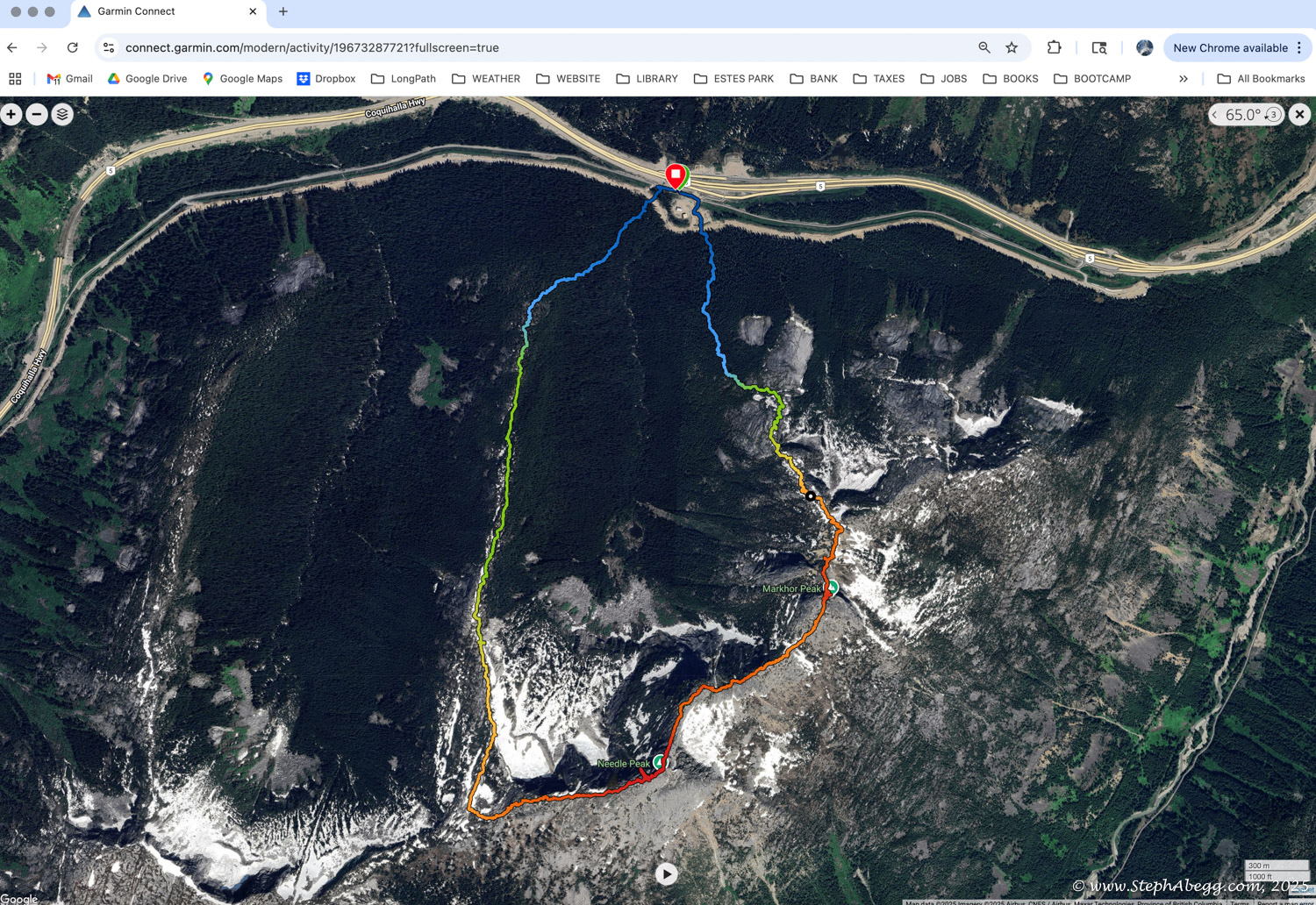
This page includes a route overlay, time stats, and photos. Enjoy!