Bear Creek Spire, Northeast Ridge (4th-low 5th)

Bear Creek Spire

Route:

Northeast Ridge

4th-low 5th

An excellent scramble on solid granite, with spectacular views along the summit ridge.

Region: California
Elev: 13,713 ft
Rock type: Granite
Type: 
Date(s): August 28, 2025 (Thu)
Partner(s): solo

Route Overlay

CLICK TO ENLARGE

Map

CLICK TO ENLARGE

Intro

Of the 100 best Sierra alpine rock climbs highlighted in John Moynier and Claude Fiddler’s Sierra Classics, Bear Creek Spire claims three: the East Arête (5.8), the North Arête (5.8), and the 
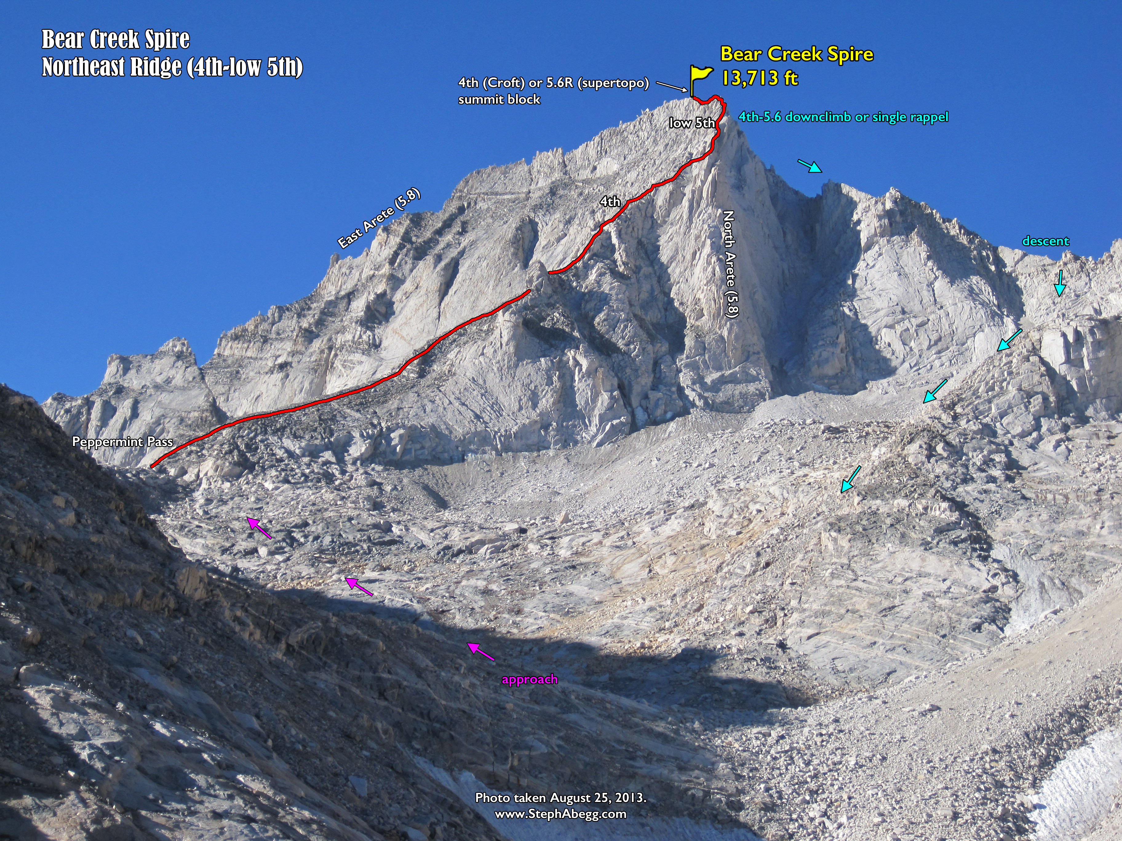
Northeast Ridge (mostly 4th class with some low 5th). In The Good, the Great, and the Awesome, Peter Croft calls the 
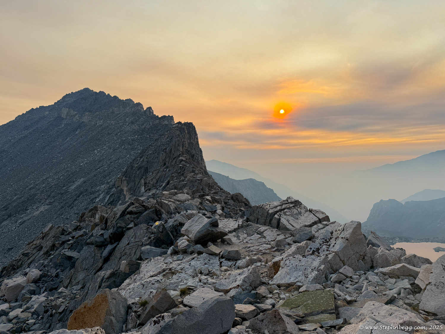
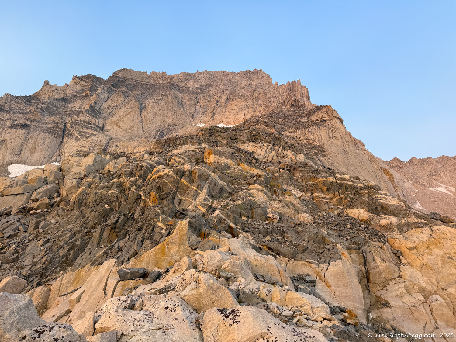
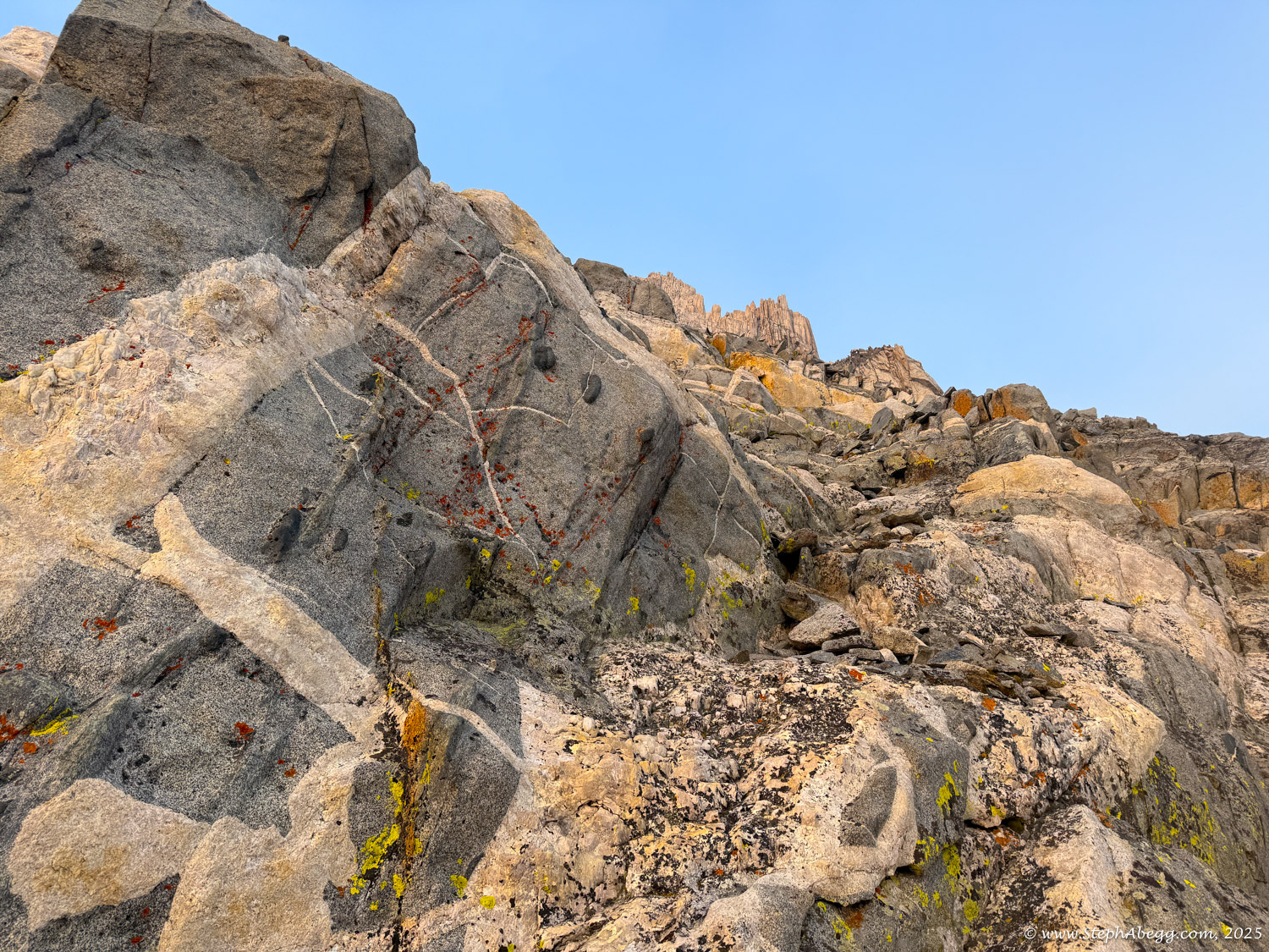
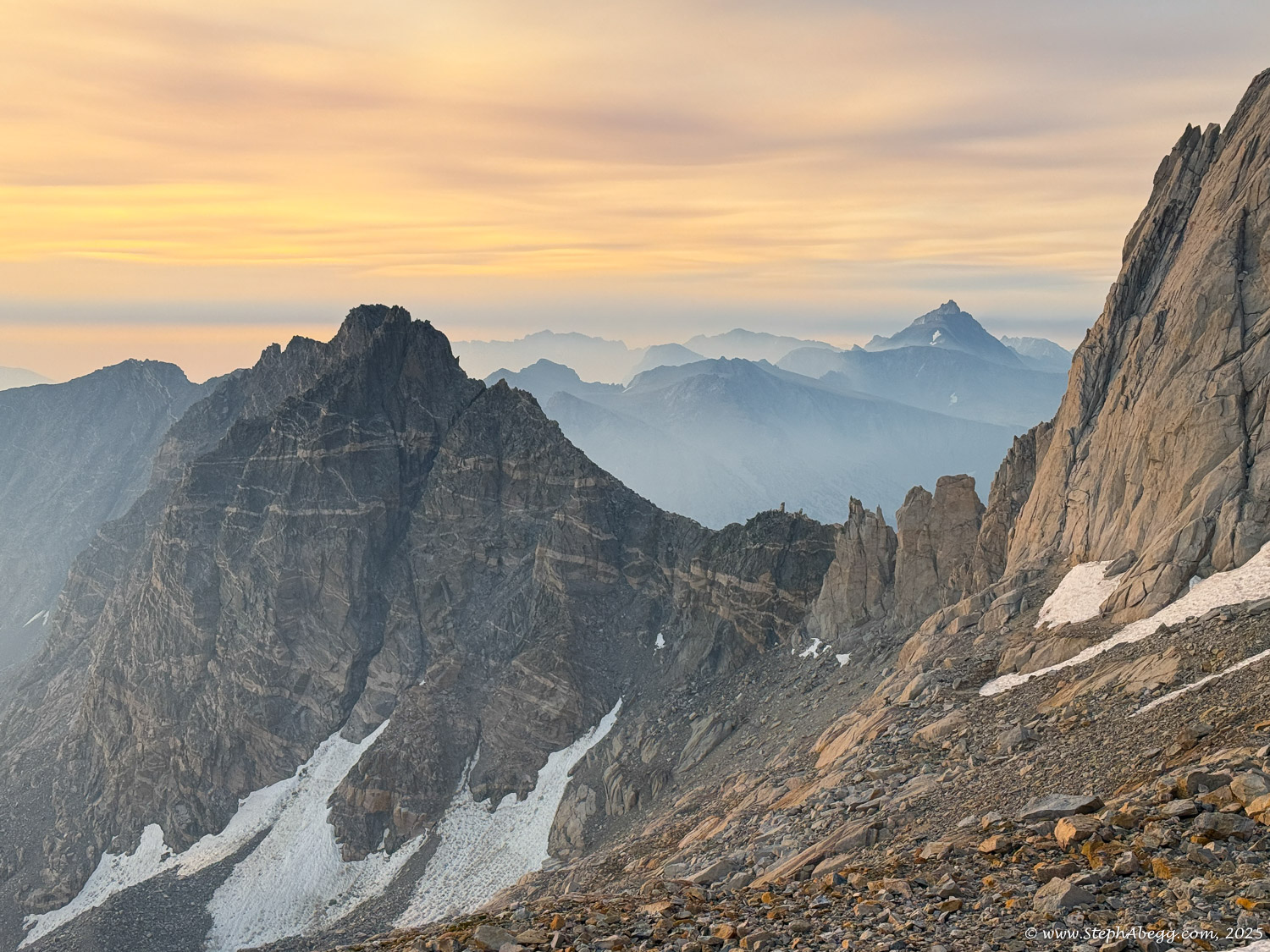
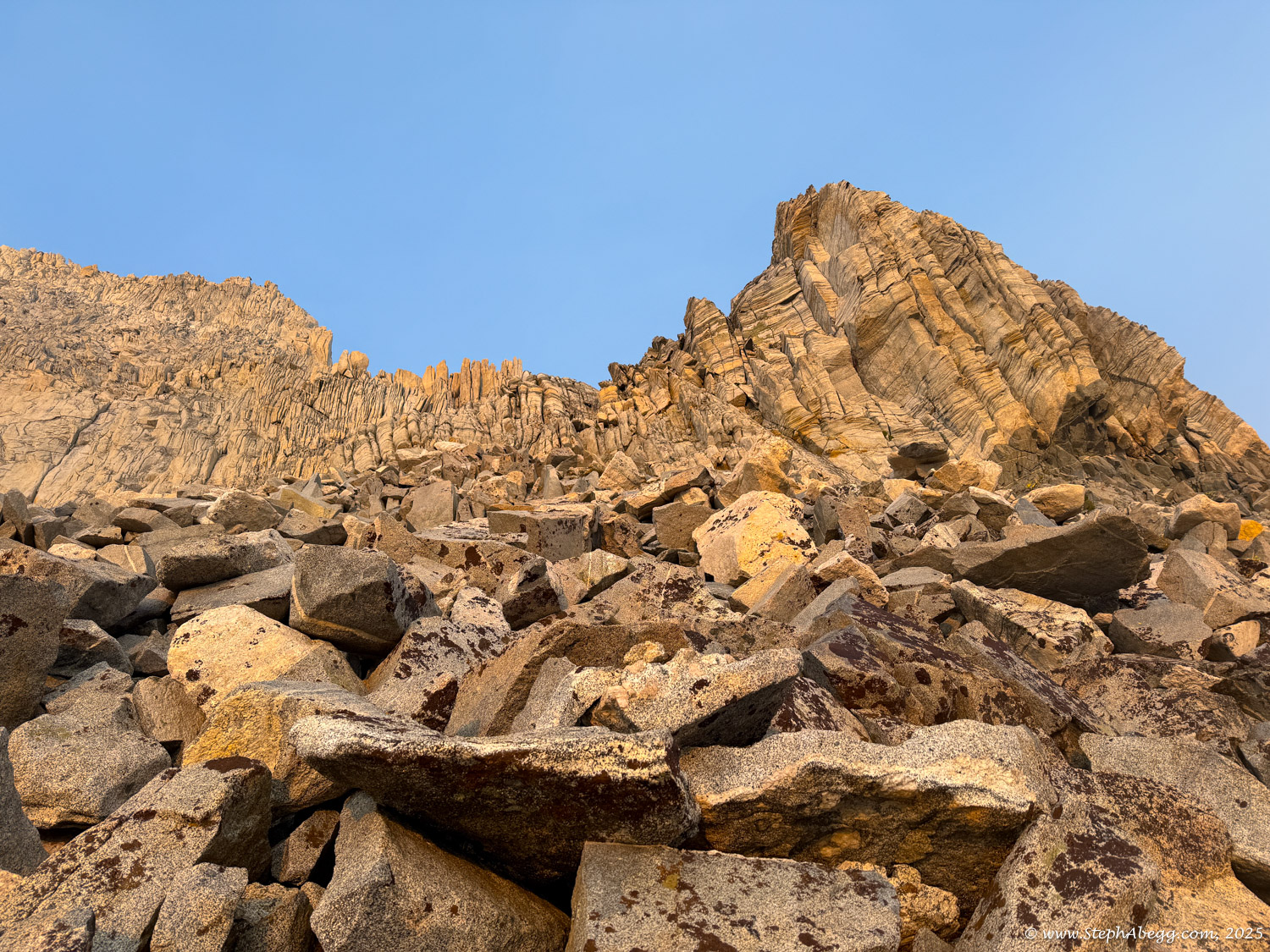
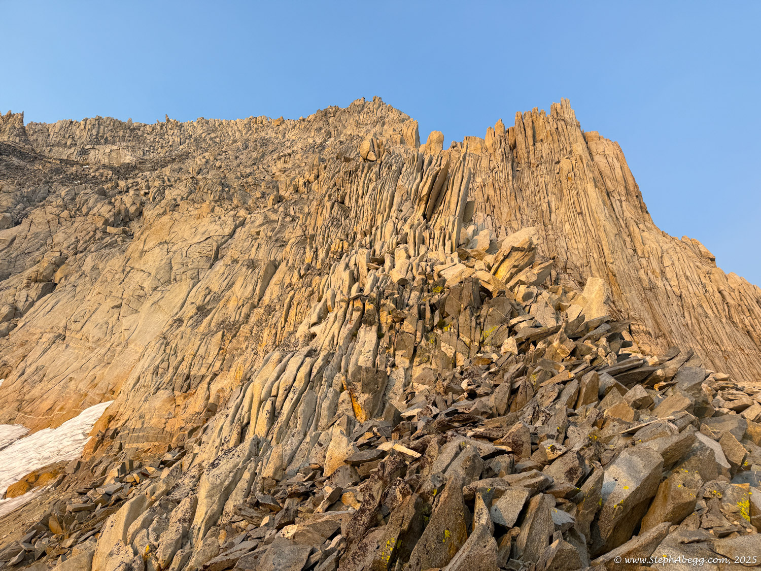
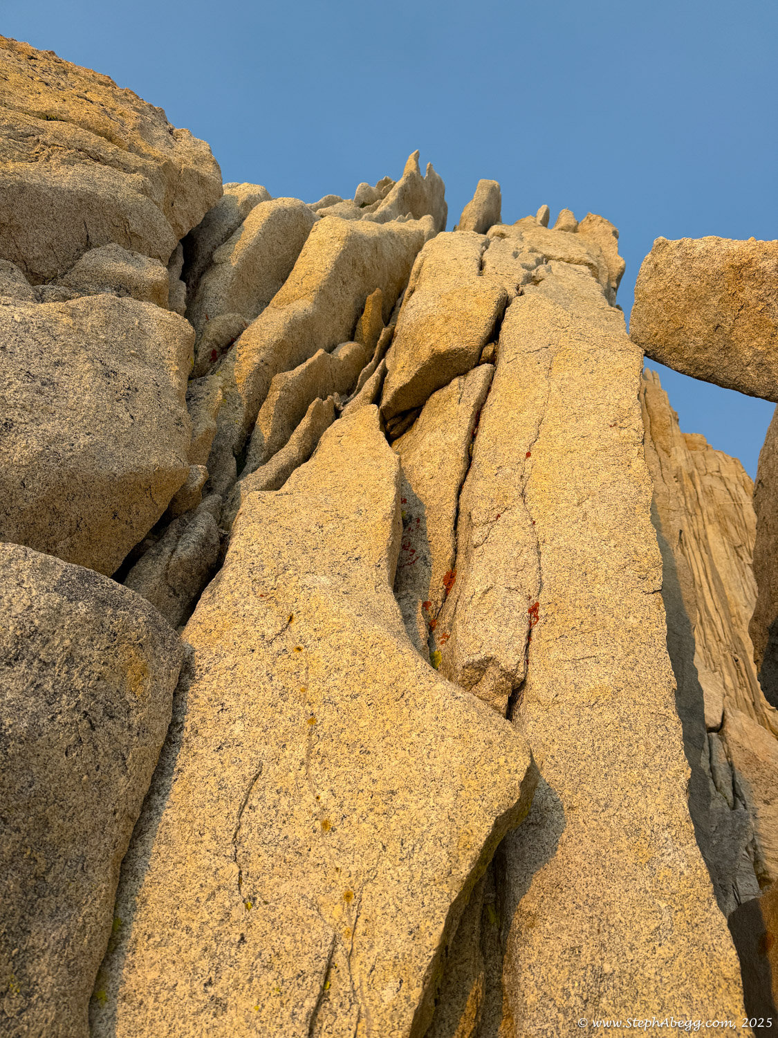
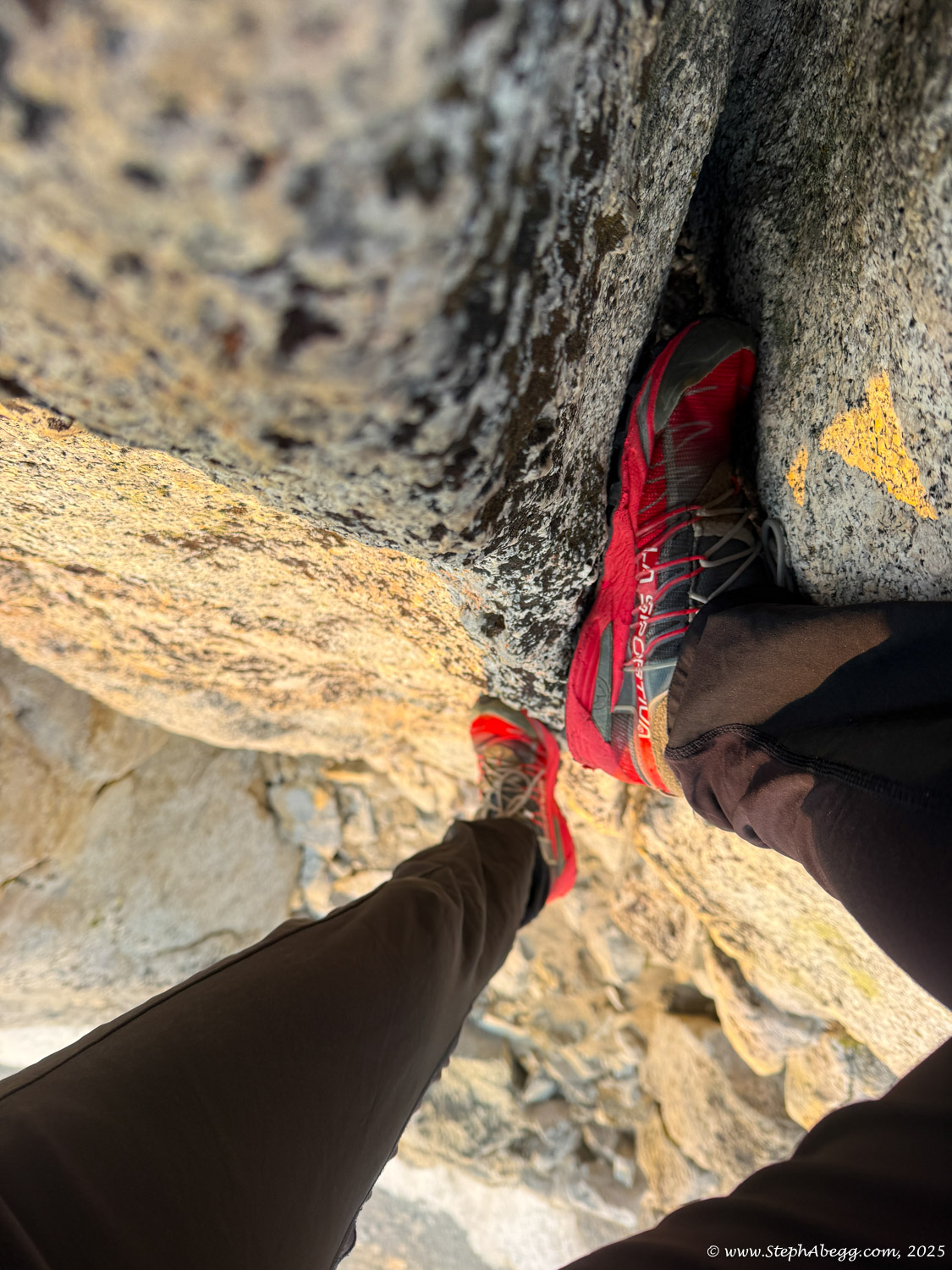
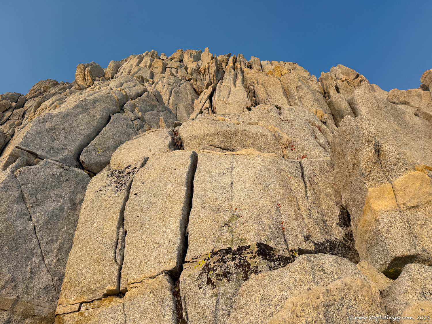
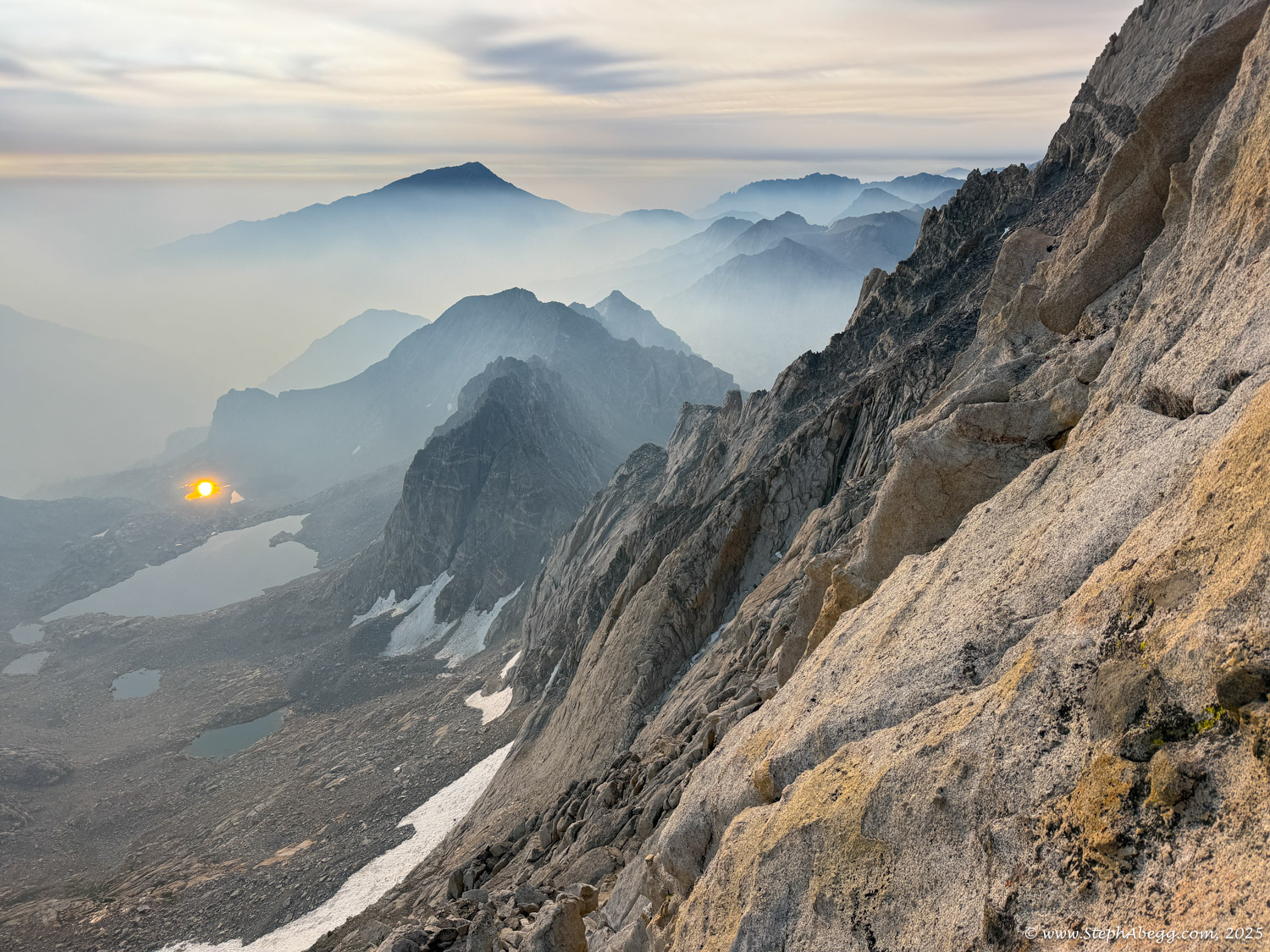
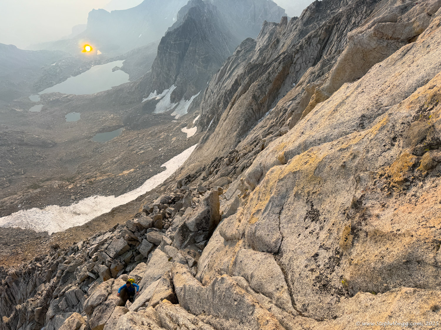
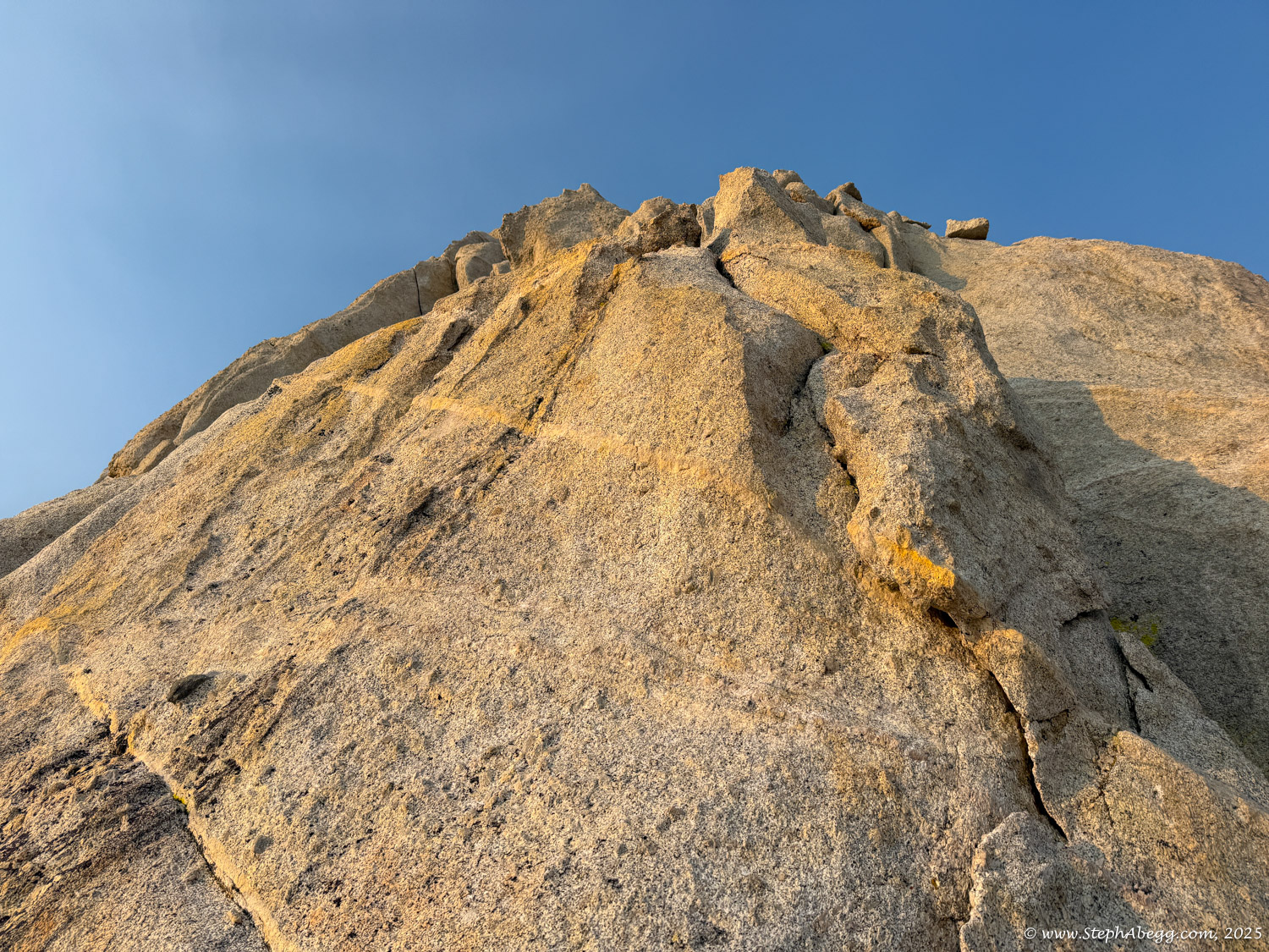
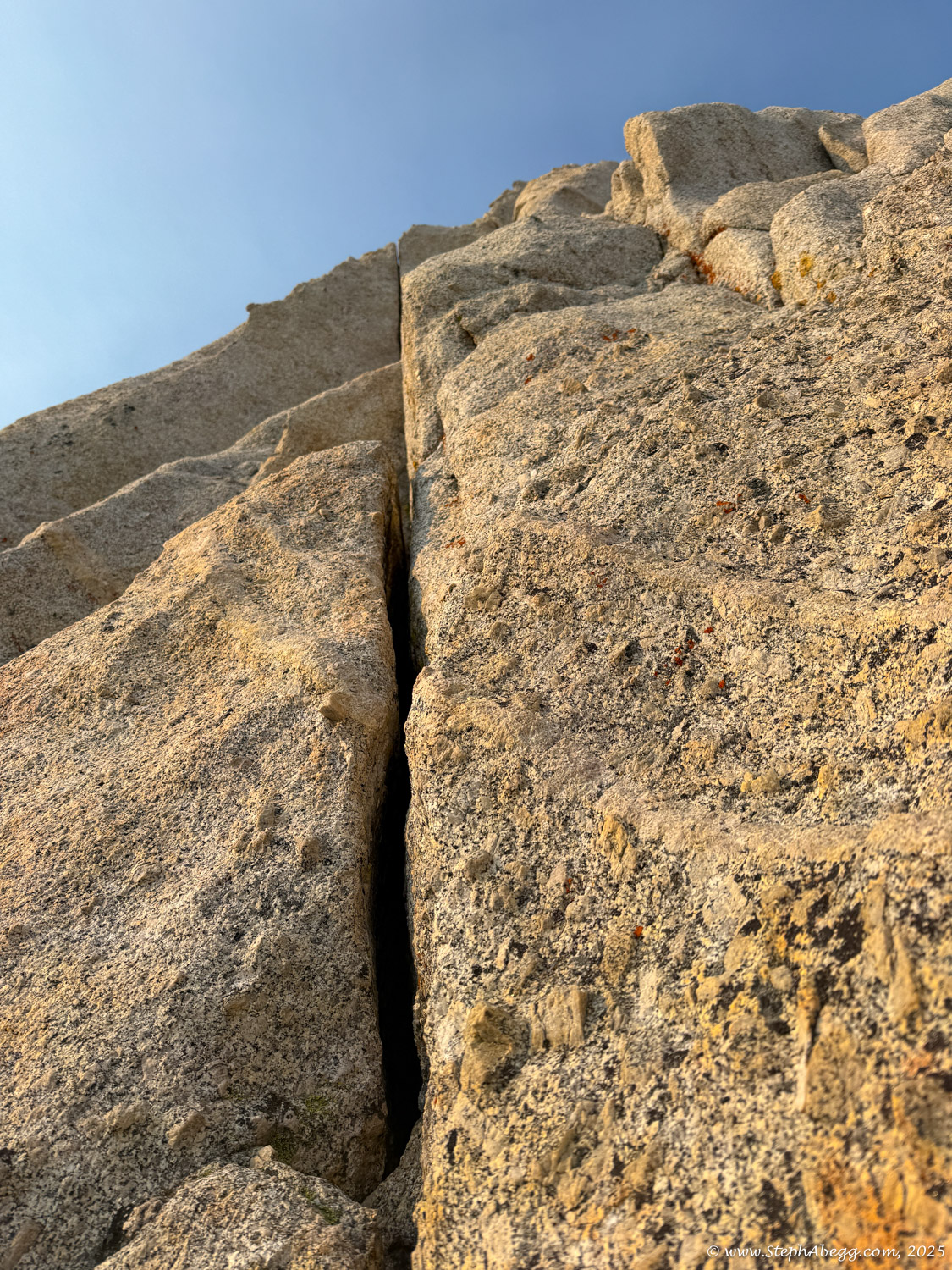
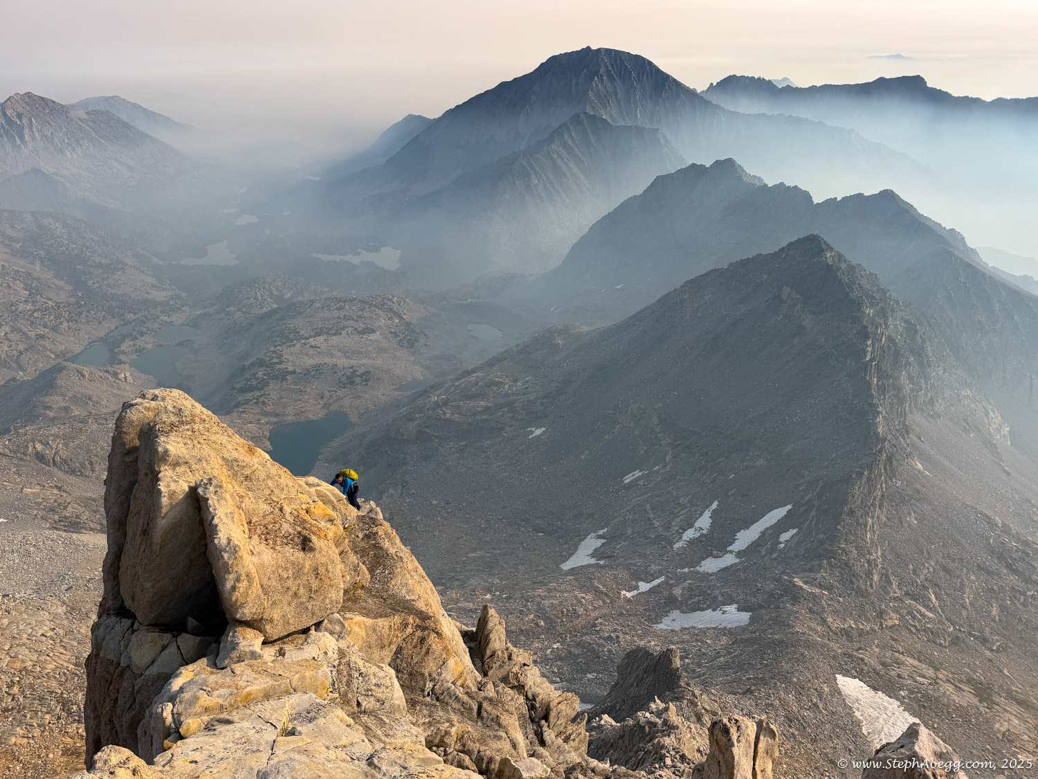
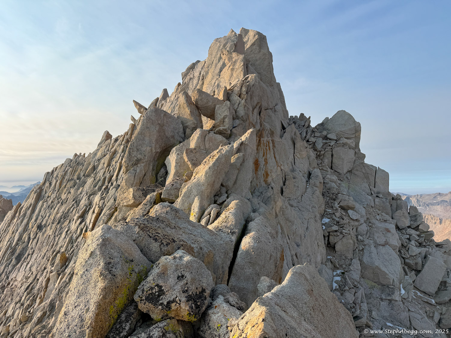
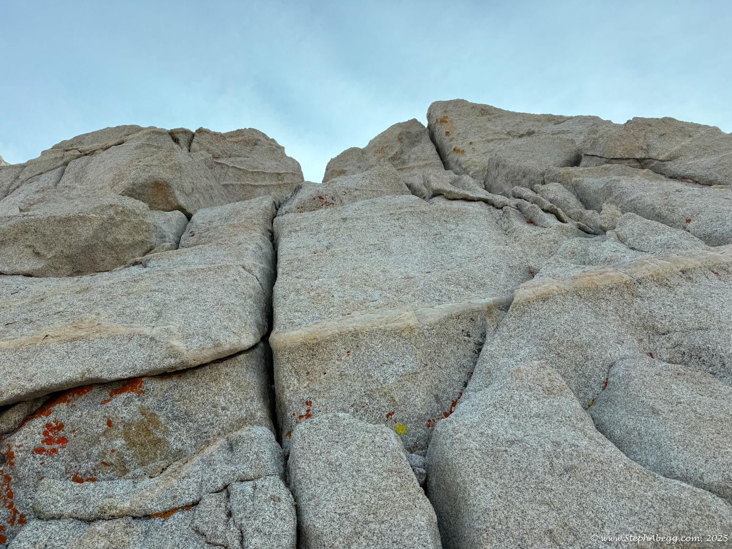
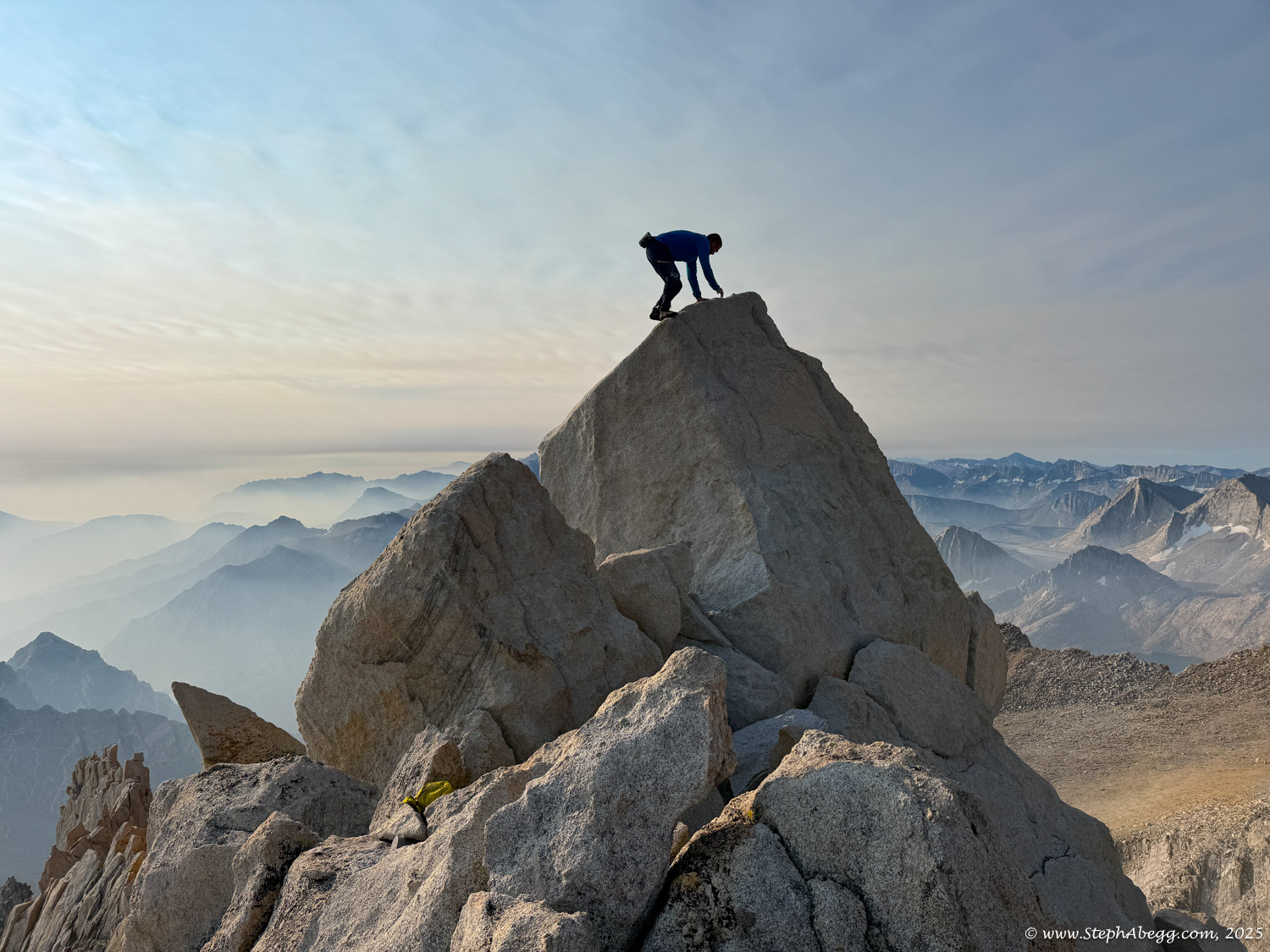
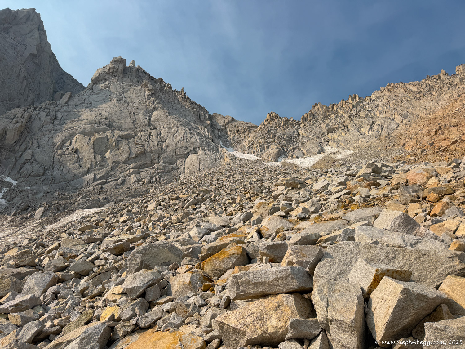
Northeast Ridge “one of the very best Class 4 routes in the High Sierra,” noting that it edges into low 5th class if you stick faithfully to the crest. From below, the ridge is unmistakable—the proudest line on the peak, sweeping elegantly from the saddle to the knife-edge summit arête. Solid granite, airy exposure, and a tiny summit block cement its reputation as a classic.

I had climbed the North Arête (5.8, 10p) back in 2013 and loved everything about it—the setting, the rock, and the overall feel of the place. So in 2025, when I was looking for a solo objective, the 
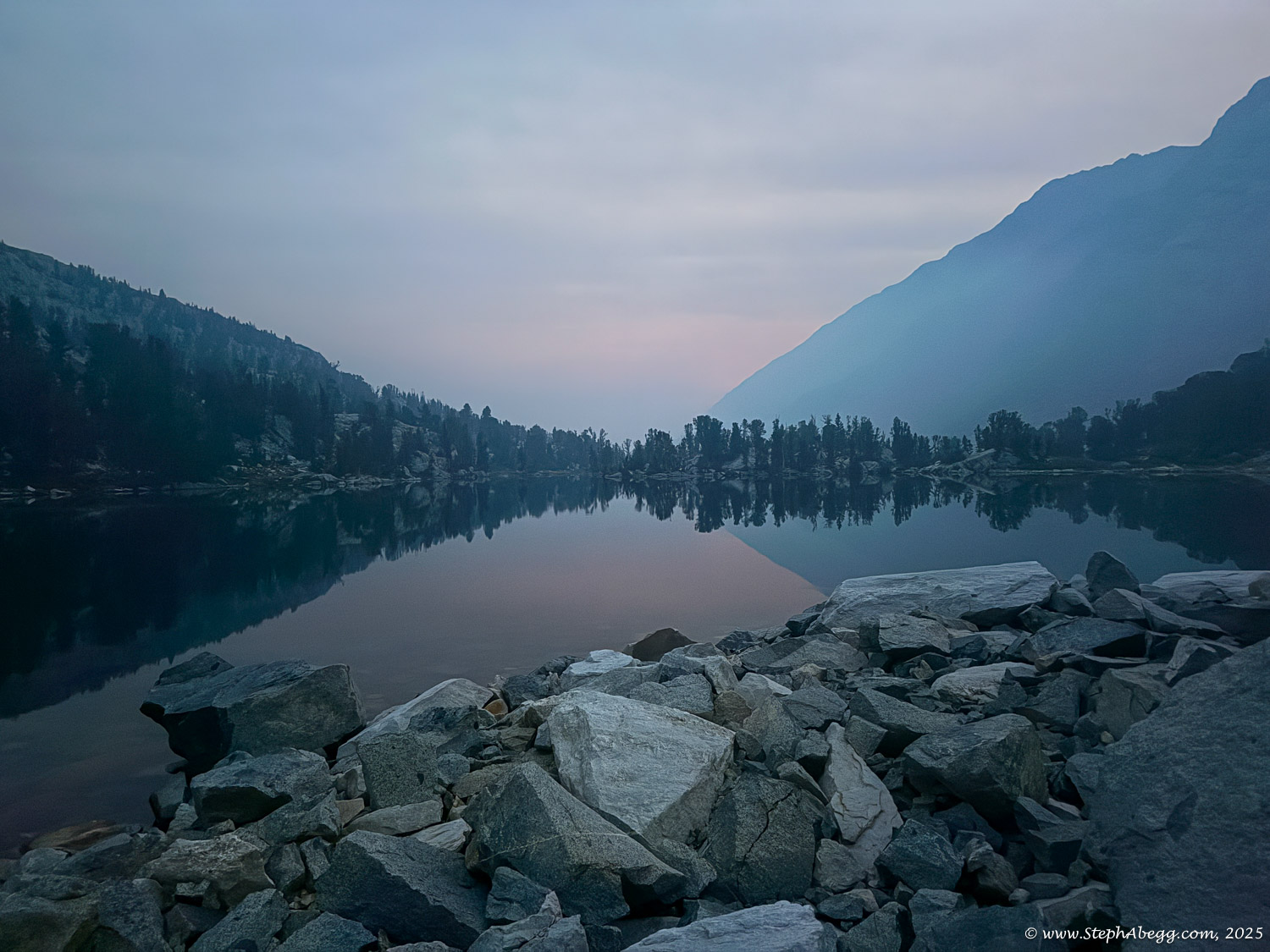
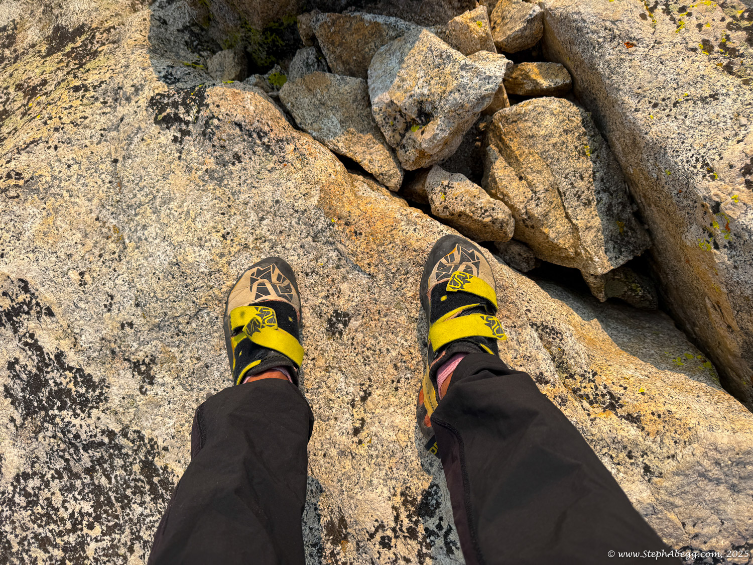
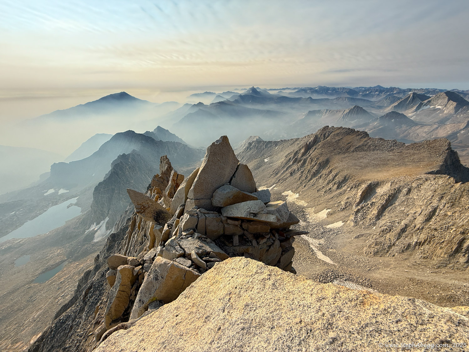
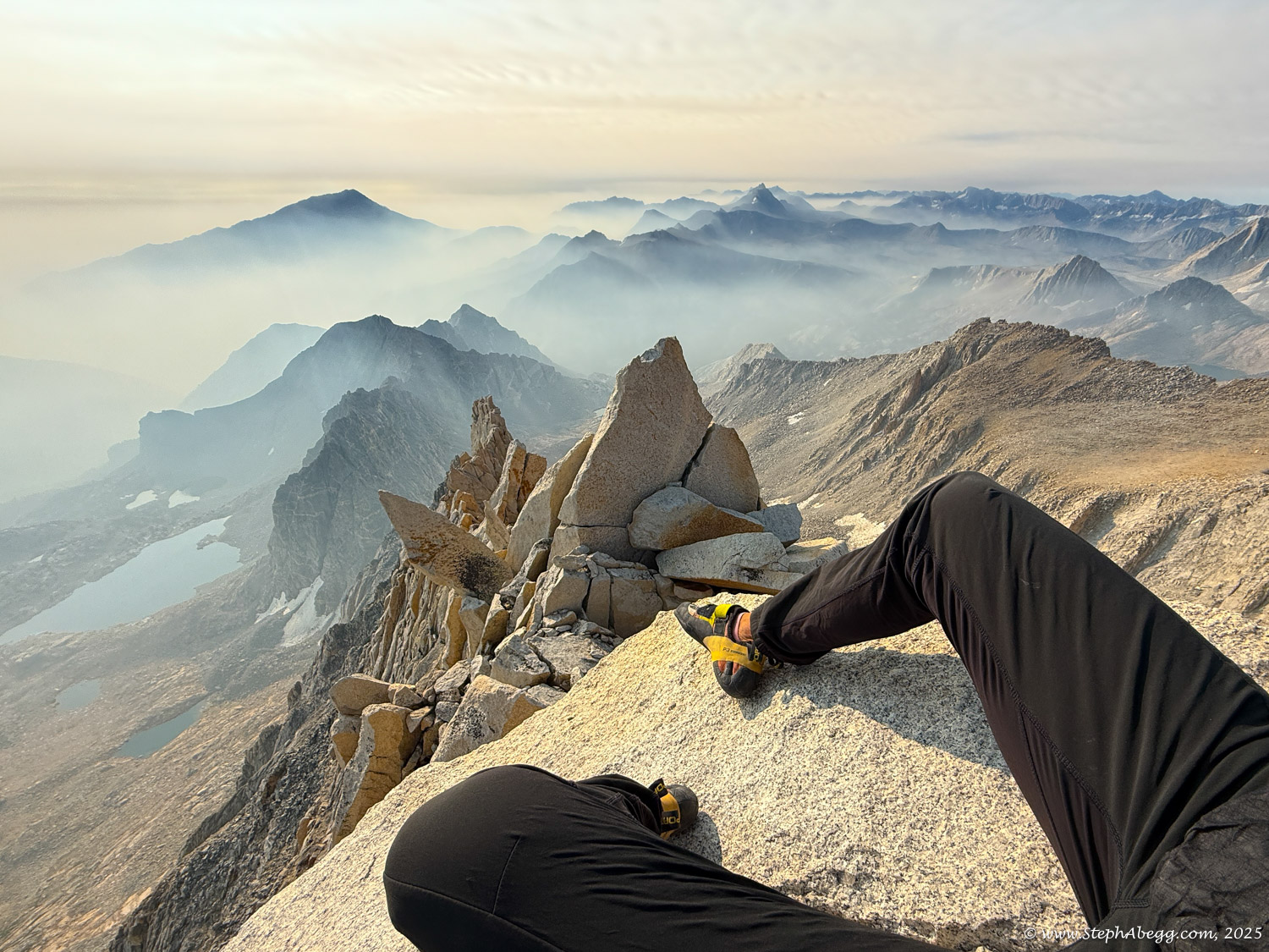
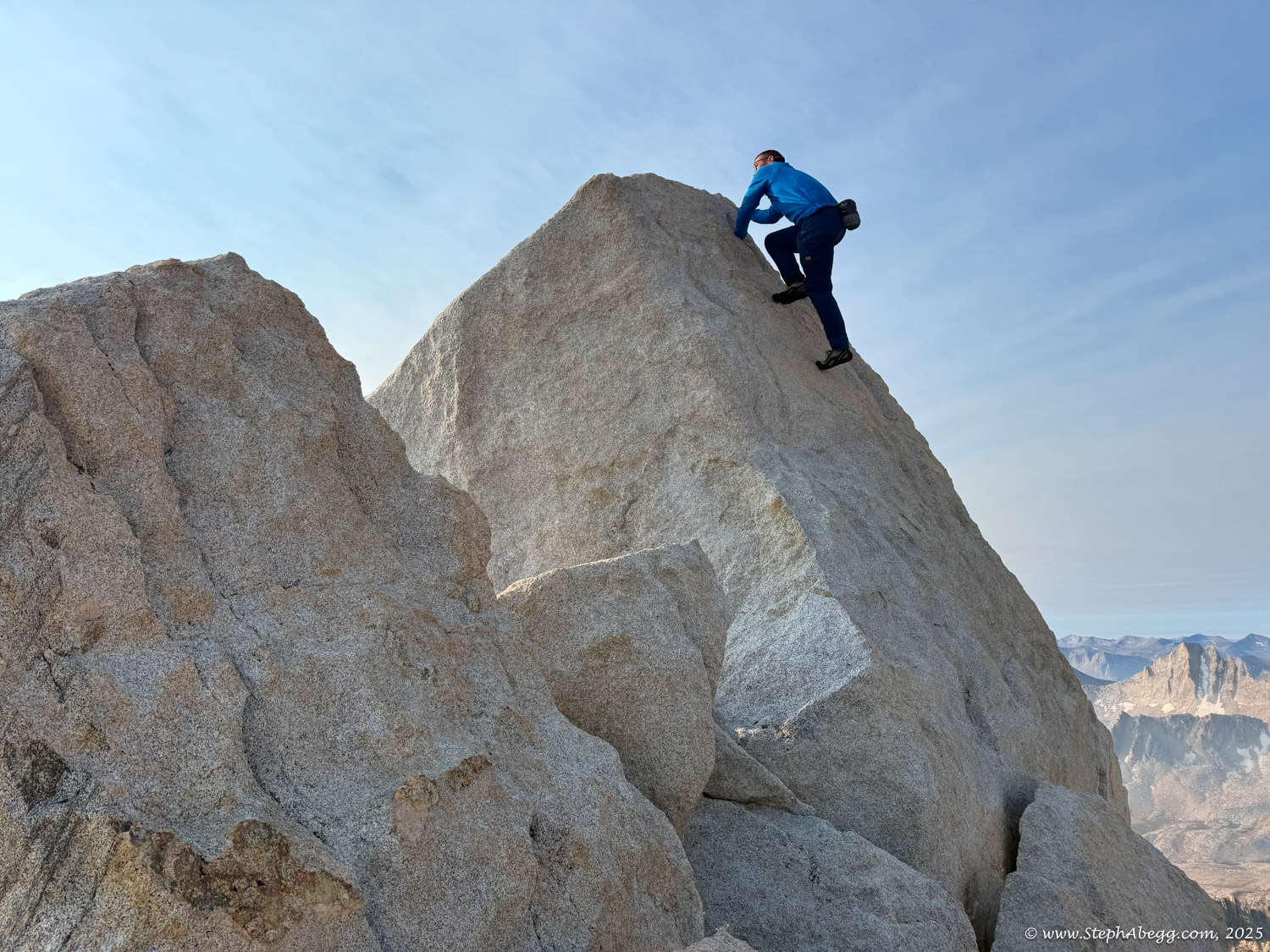
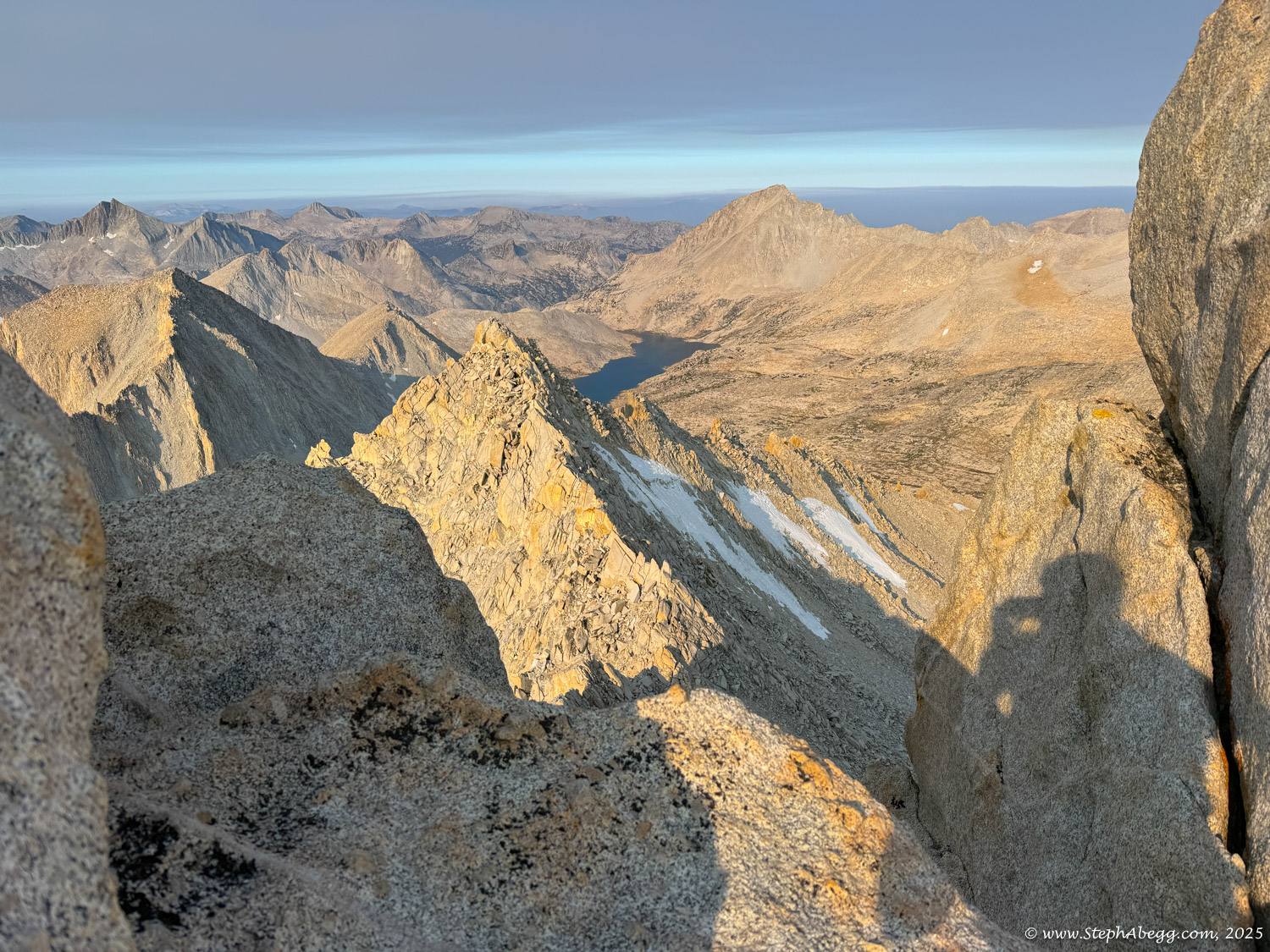
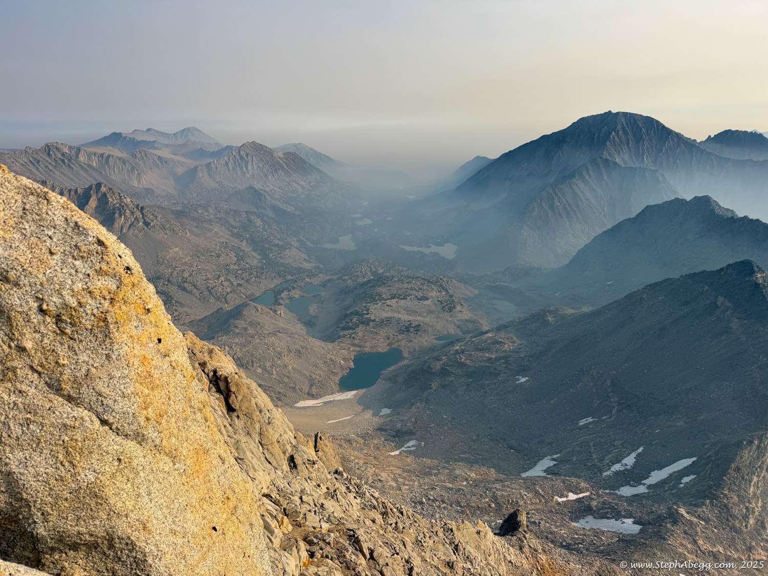
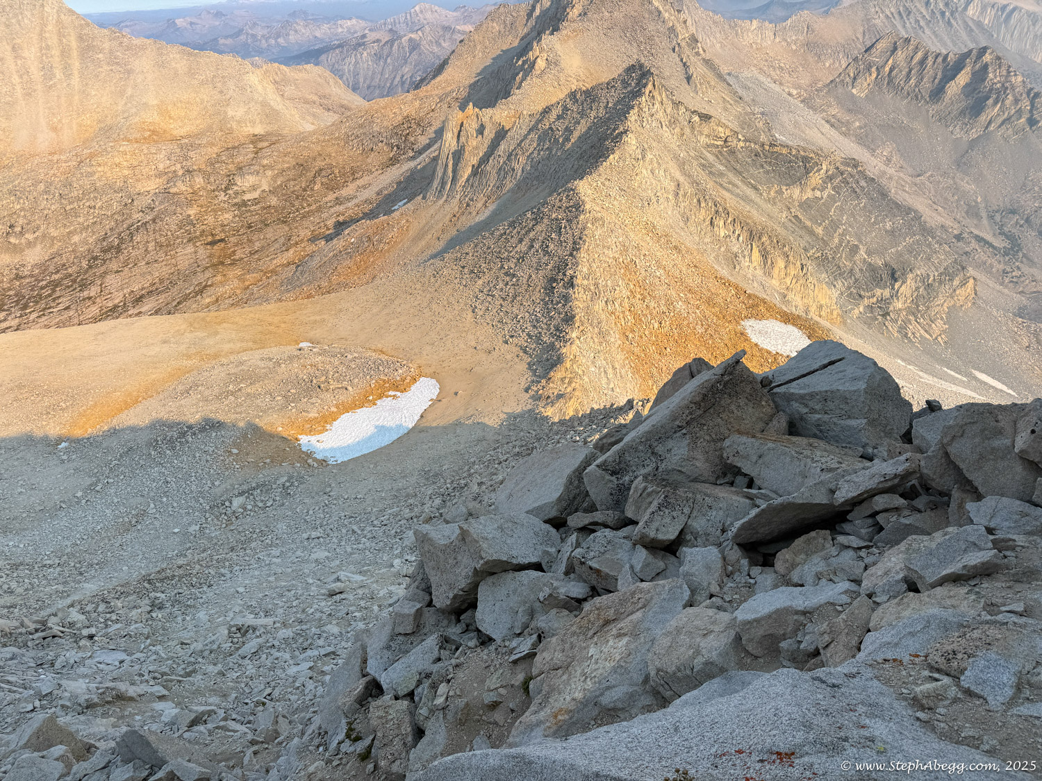
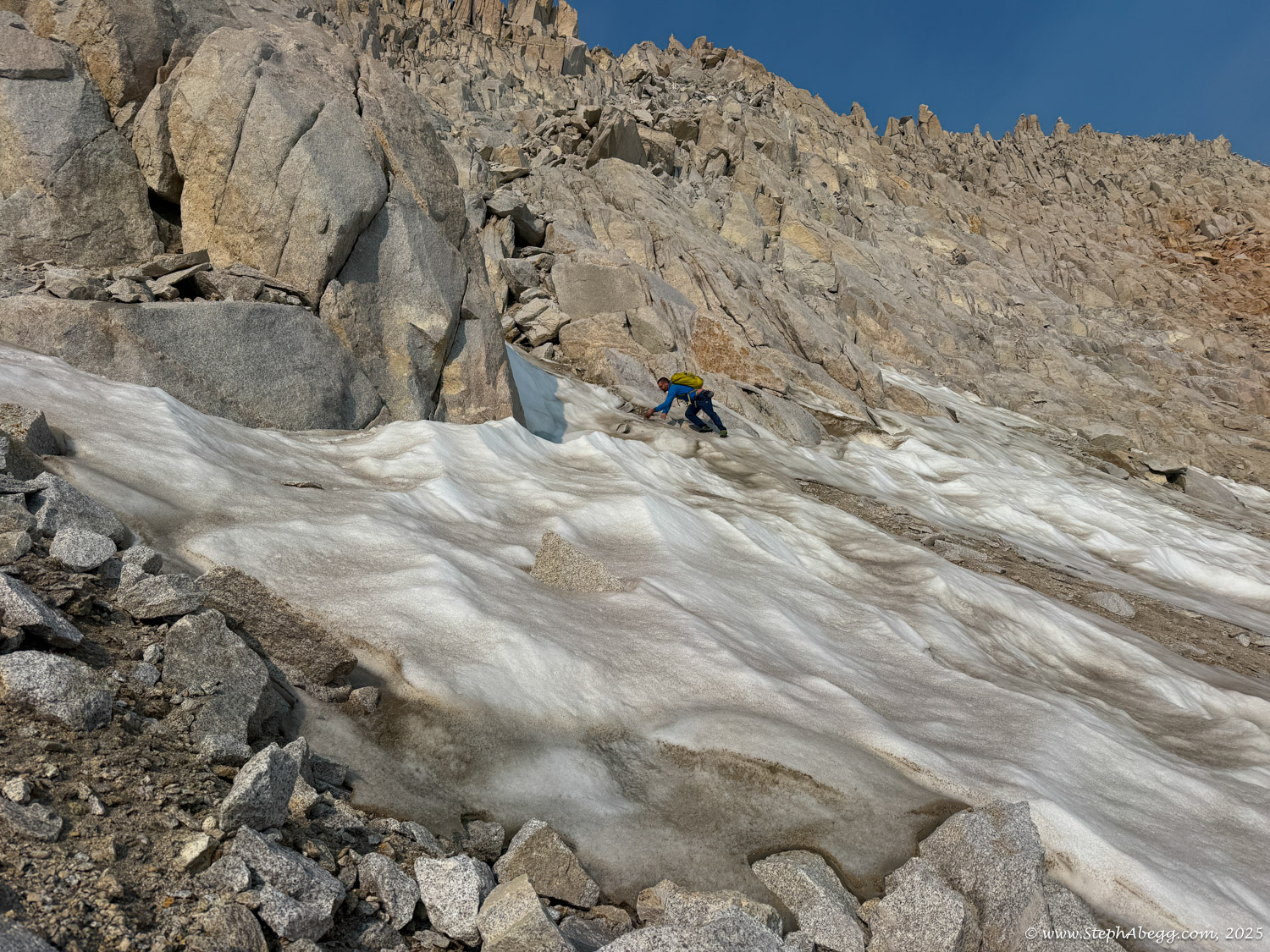
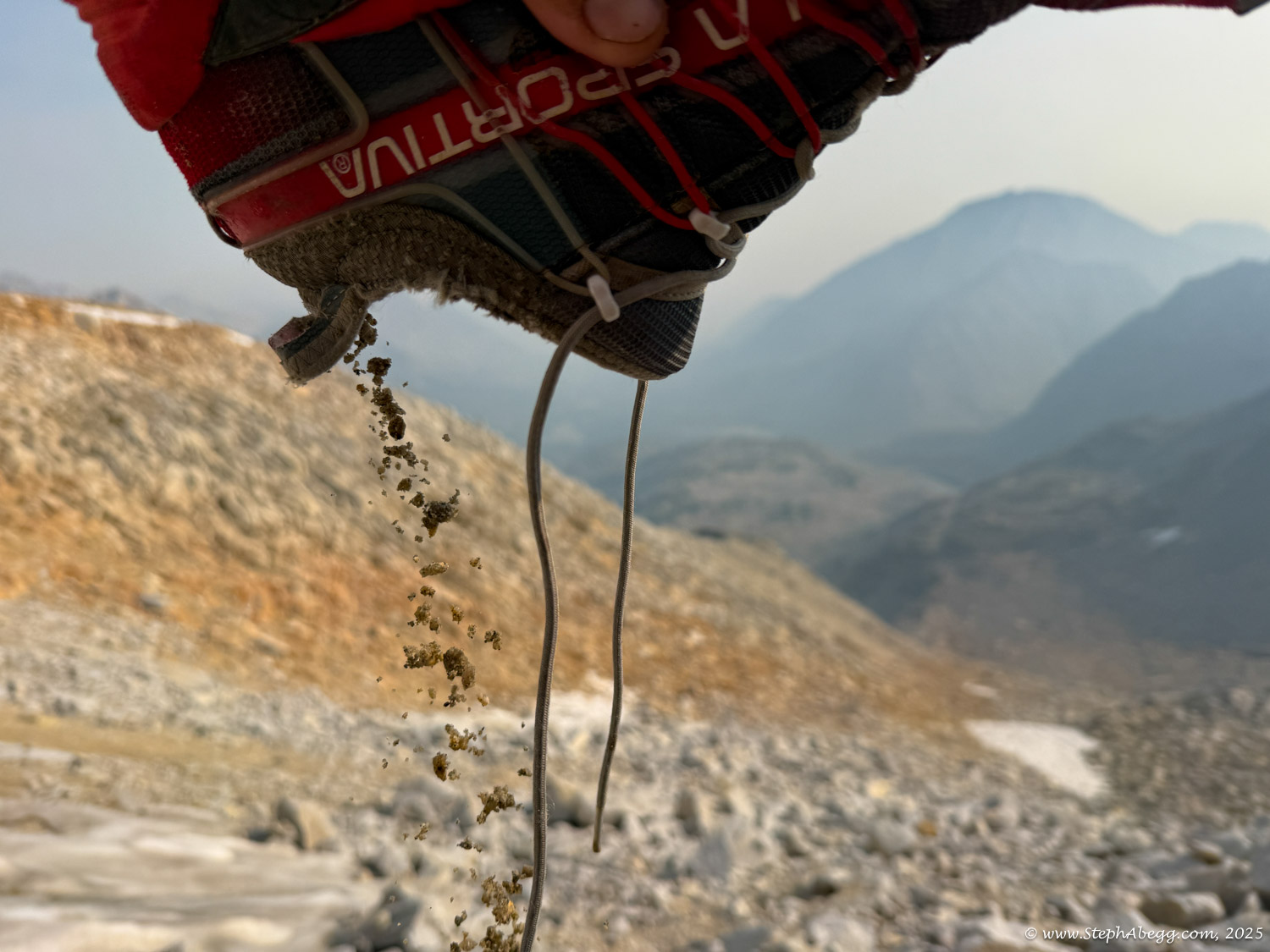
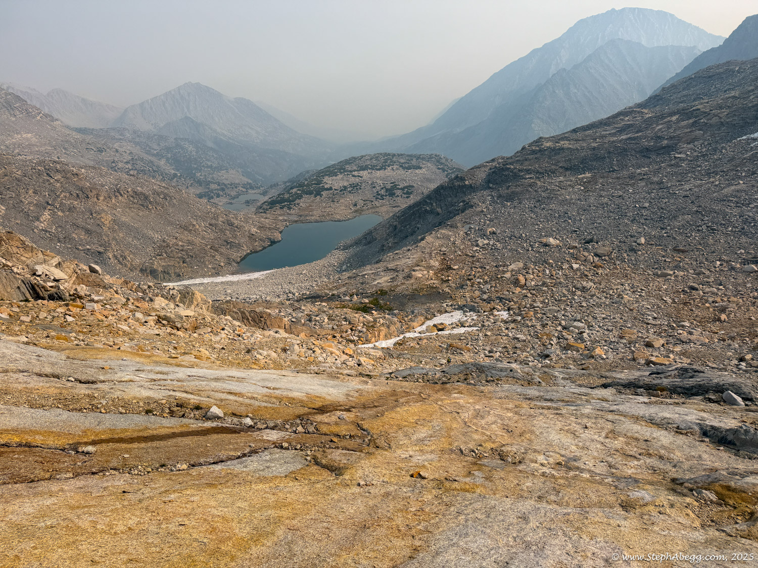
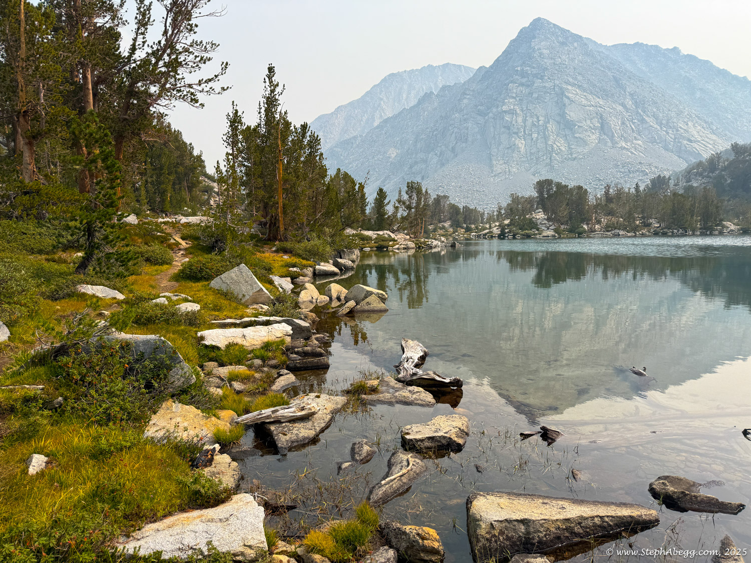
Northeast Ridge was the obvious choice. It delivered exactly what I was hoping for: a high-quality scramble on solid granite, with sweeping views and a dramatic finish along the summit ridge. Smoke from distant wildfires gave the day a faintly mystical atmosphere, and I met just one other climber on the route, Bret from Oregon, also soloing.

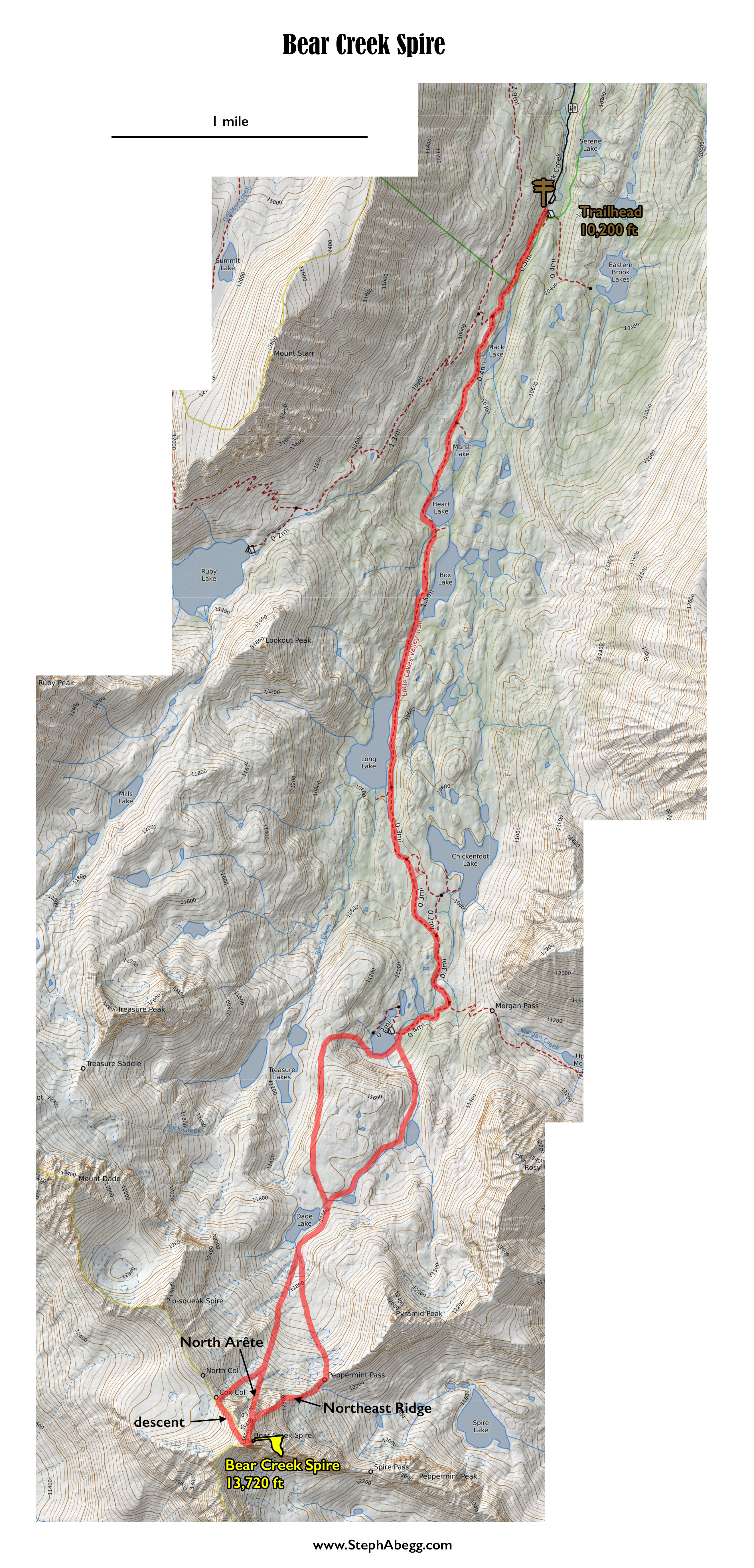
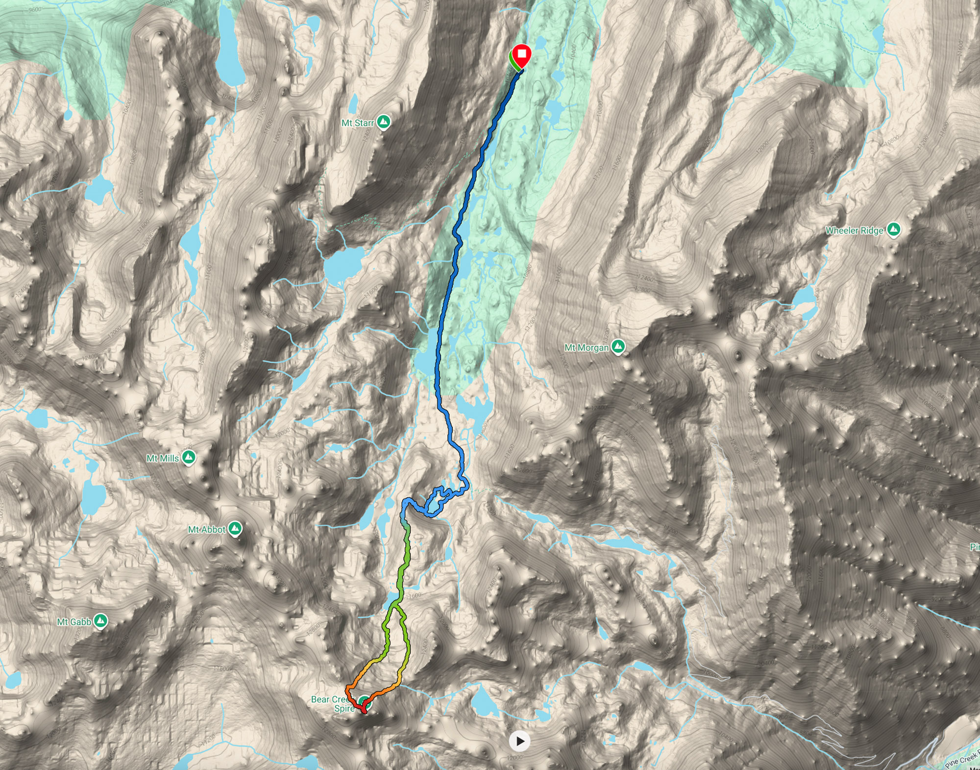
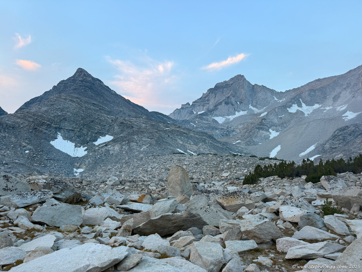
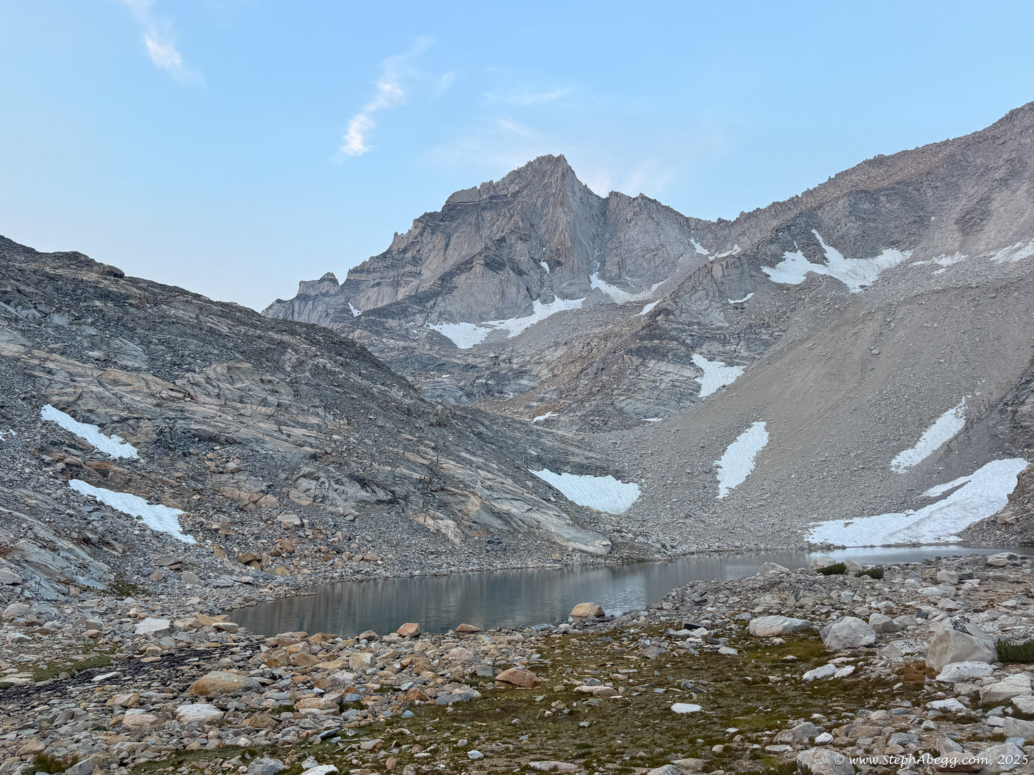
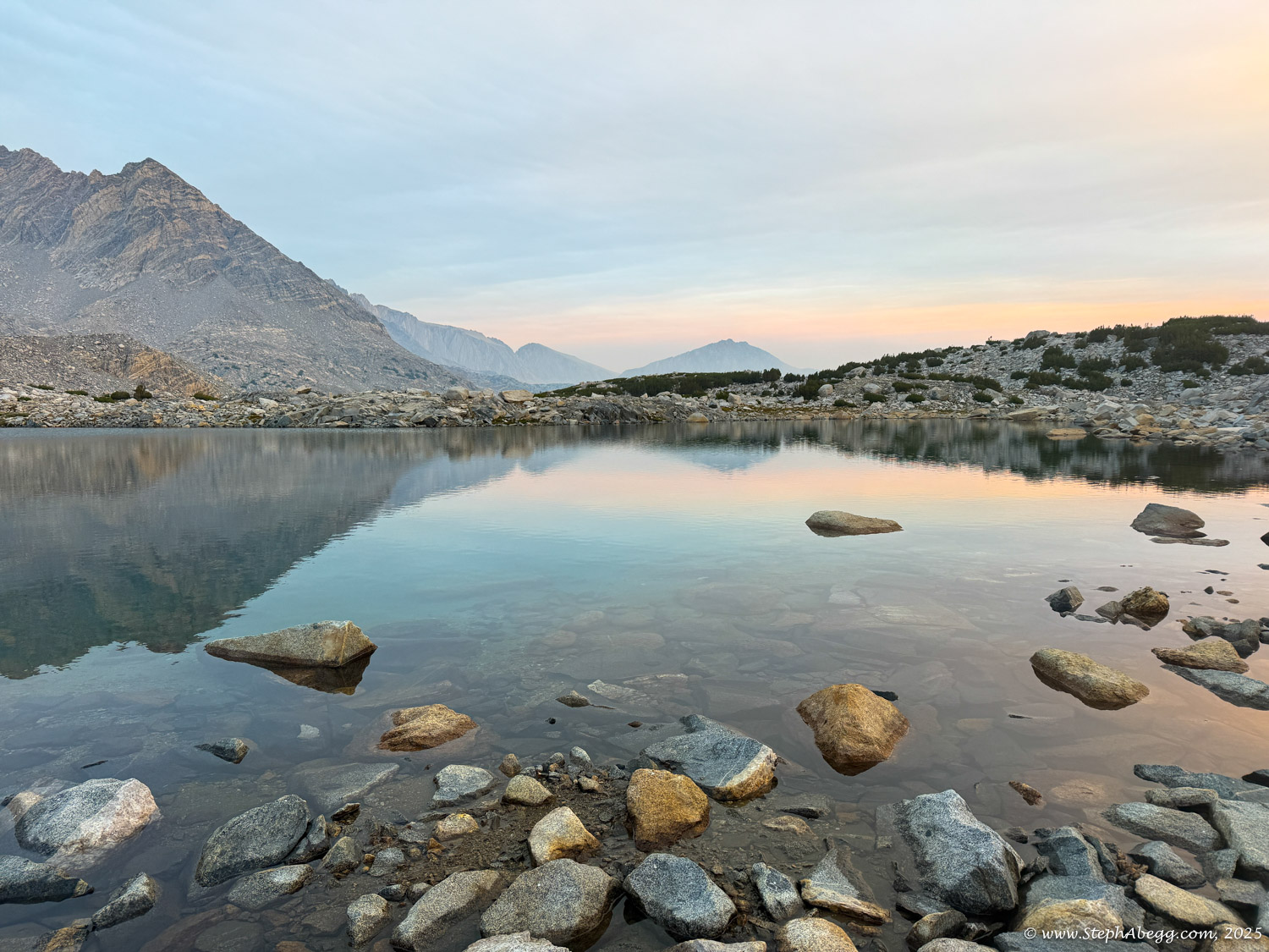
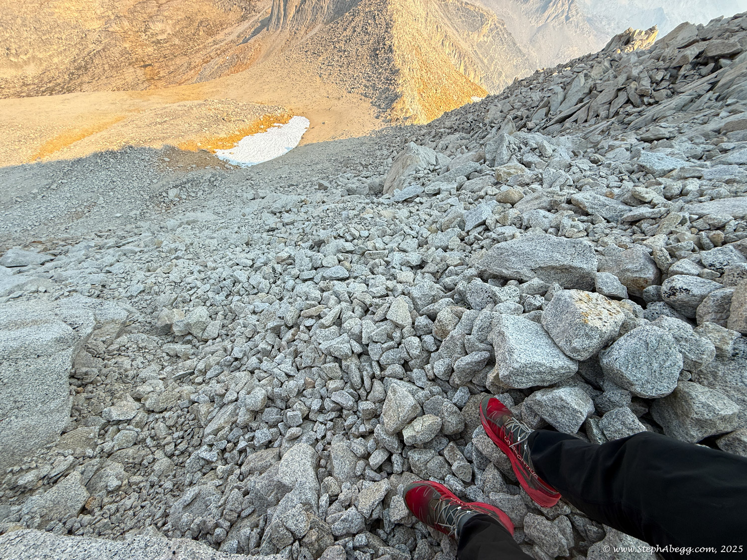
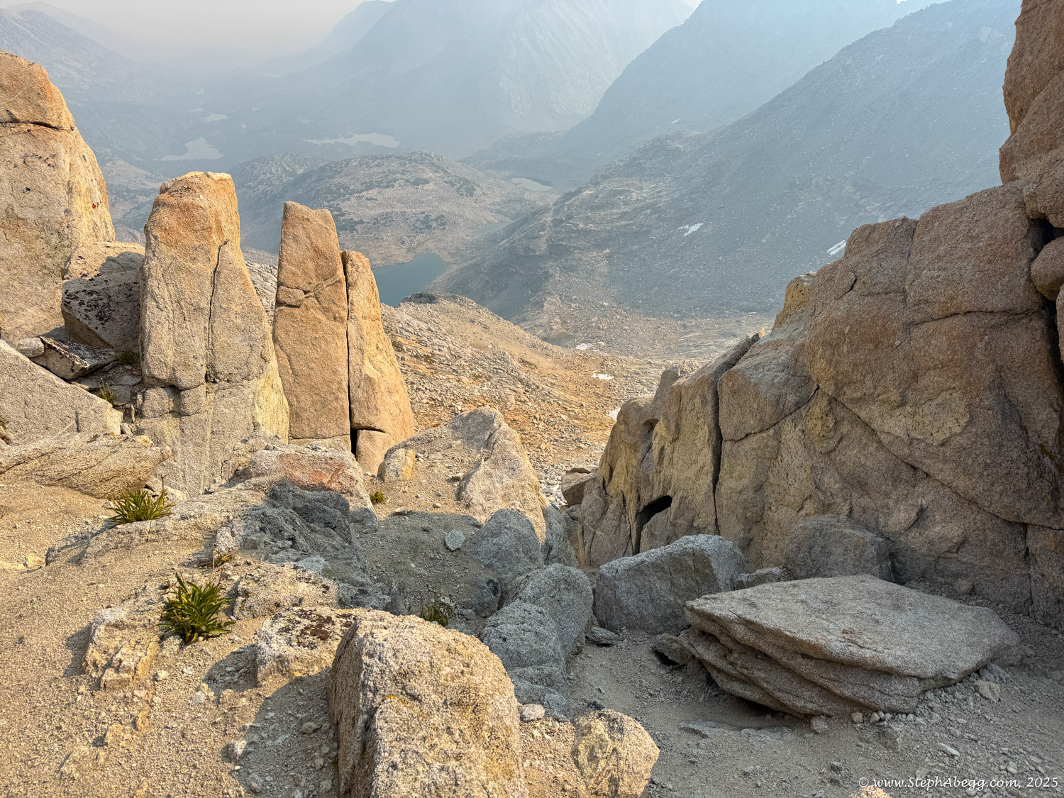
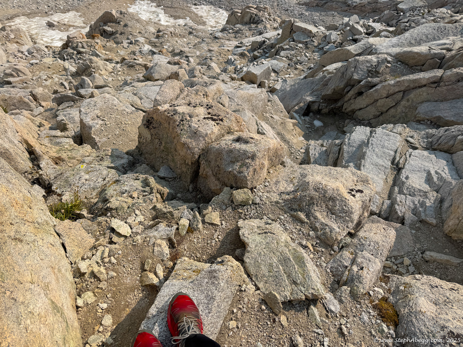
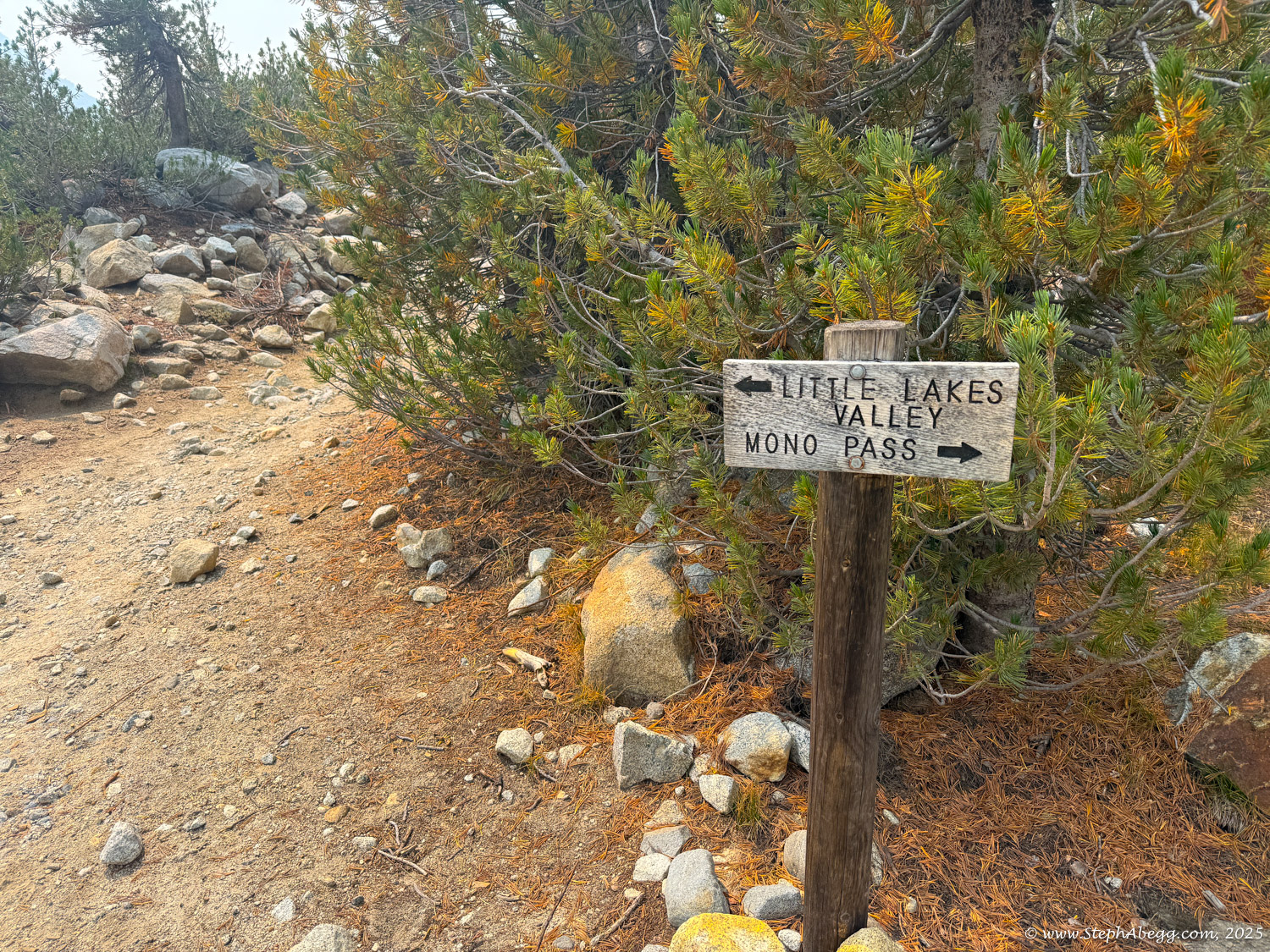
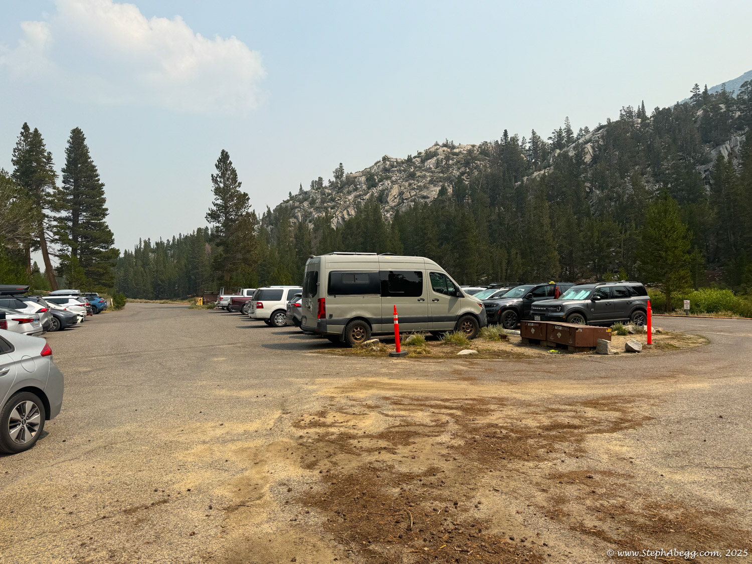
The following page includes a route overlay, approach map, time stats, and photos from my day on the Northeast Ridge.

Time Stats

Times
Begin approach from Little Lakes Valley Trailhead: 4:20 am
Base of Northeast Ridge: 7:13 am
Summit: 8:21-8:41 am
Begin descent: 8:41 am
Car: 11:54 am
Splits
Approach: 2 hours 53 minutes
Climb route: 1 hour 8 minutes
Descent to car : 3 hours 13 minutes
Total car-to-car time (includes 20 min summit break): 7 hours 34 minutes

Pitch-by-Pitch Photos

Approach

2nd
From Highway 395 at Tom’s Place, drive west to the Mosquito Flats trailhead. Follow the Little Lakes Valley Trail to Long Lake, then take a faint path toward Treasure Lakes. Before reaching them, cut left and climb to the stark basin of Dade Lake (about 4.25 miles, 1,300 feet of gain).

From Dade Lake, traverse across benches (and possibly snowfields), then continue over more benches to reach Peppermint Pass.

Descent

Class 4 to low 5th + scramble
The standard descent heads north along the ridge for less than 100 feet, then drops west another hundred feet. With careful routefinding this should not exceed class 4, though it can also be rappelled. From there, descend the sandy northwest slopes to a broad flattening on the ridge. Look for bits of use trail leading to the east side, then scramble down loose terrain to the left of the snowfield. Continue down talus and rocky benches to Dade Lake, then retrace your approach.

An alternative descent is the 3rd–4th class Northeast Face, located just right (skier’s right) of the Northeast Ridge. By staying within 100 feet of the ridge, most of this is considerably easier than the climb itself, making for a relatively fast way down.

Comments Pertaining to this Page / Trip Report

Useful beta. Updated route information. Corrections. Historical notes. Interesting facts. No fluff please.
Please do not put links in your comment, as my spam filter will filter those comments out.
Leave a Reply

Your email address will not be published. Required fields are marked *