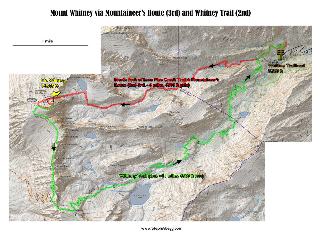
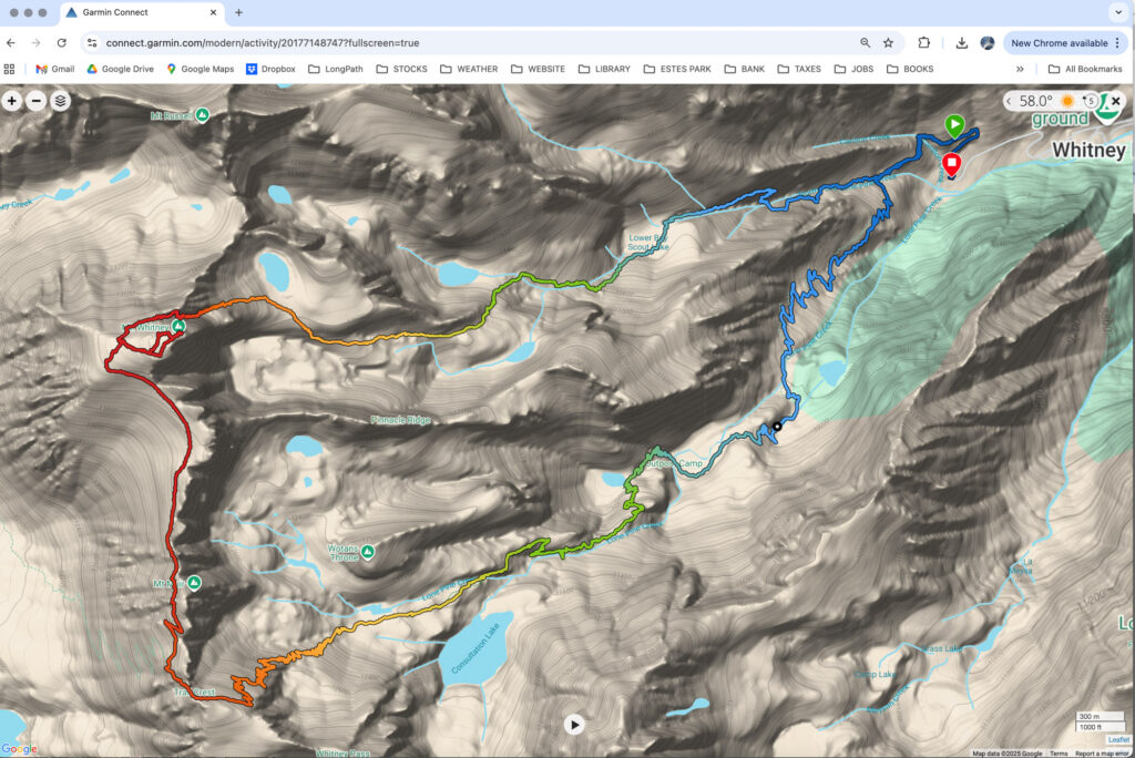
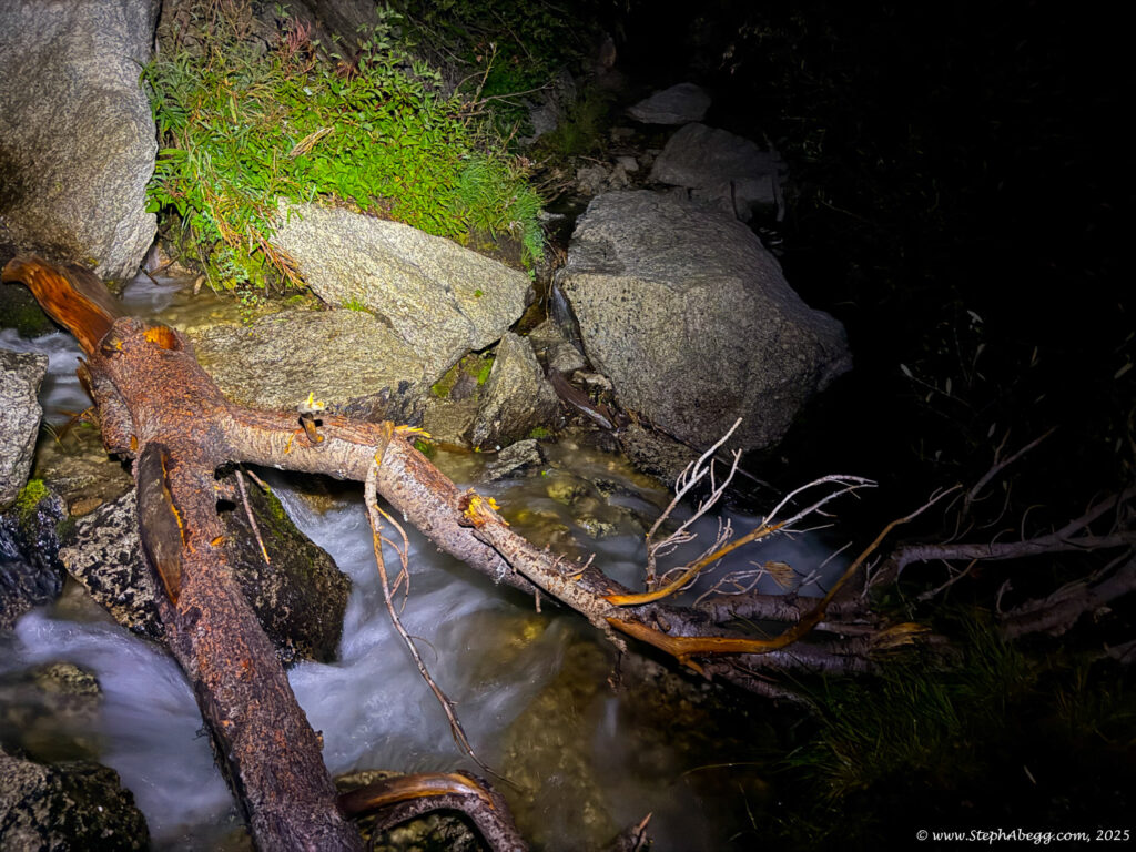
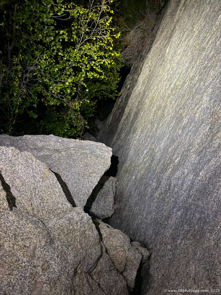
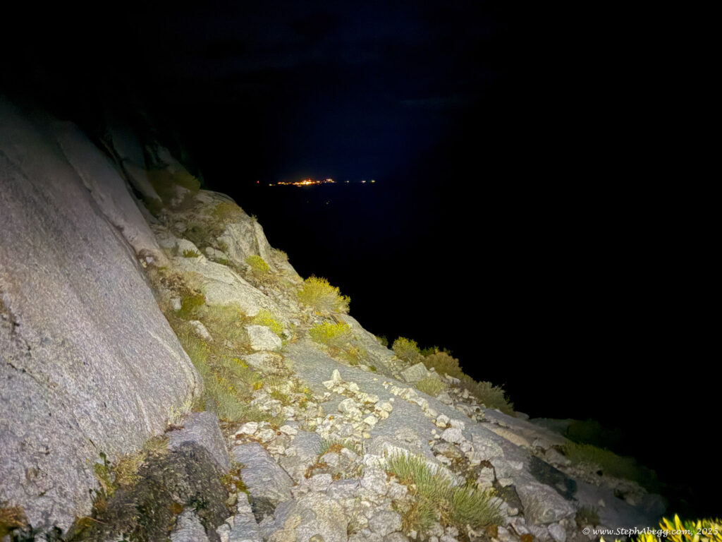
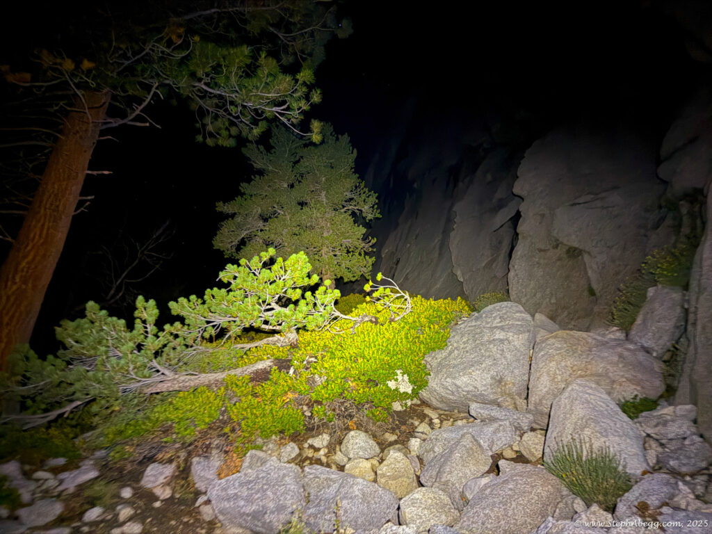
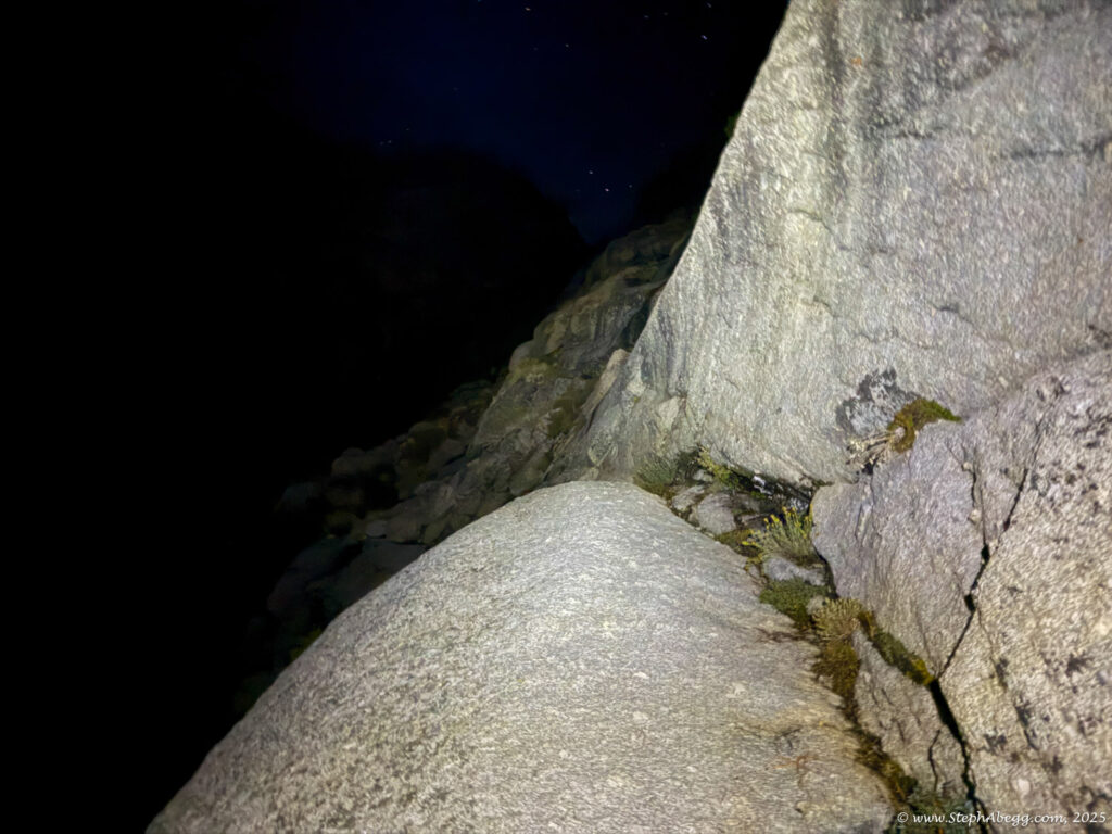
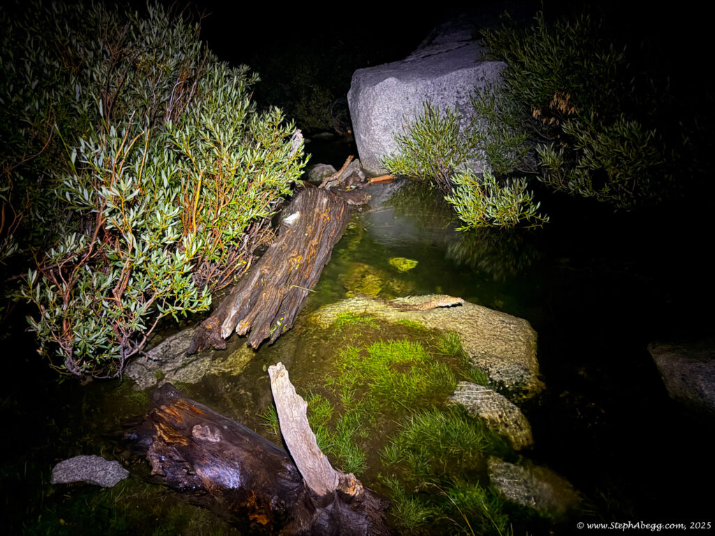
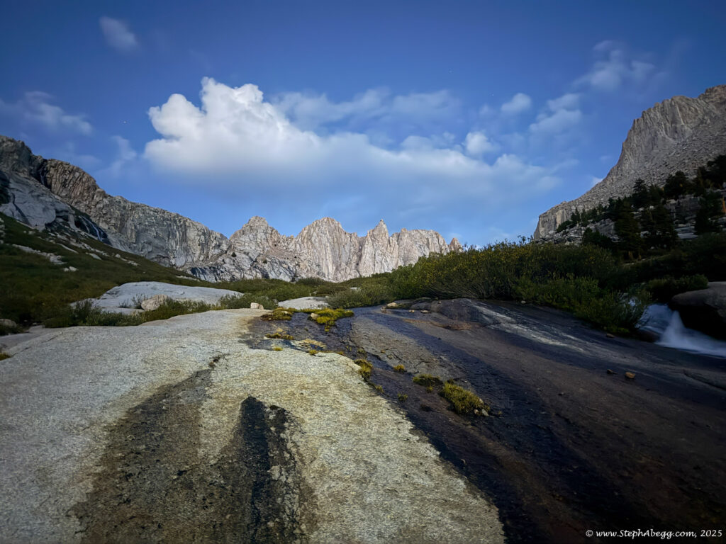
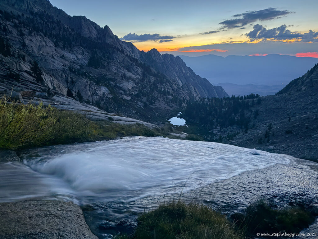
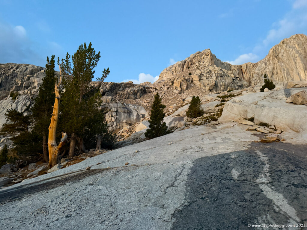
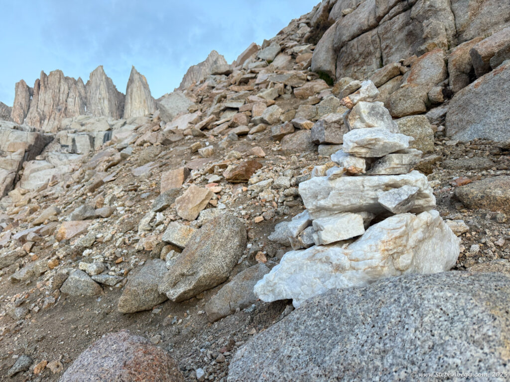
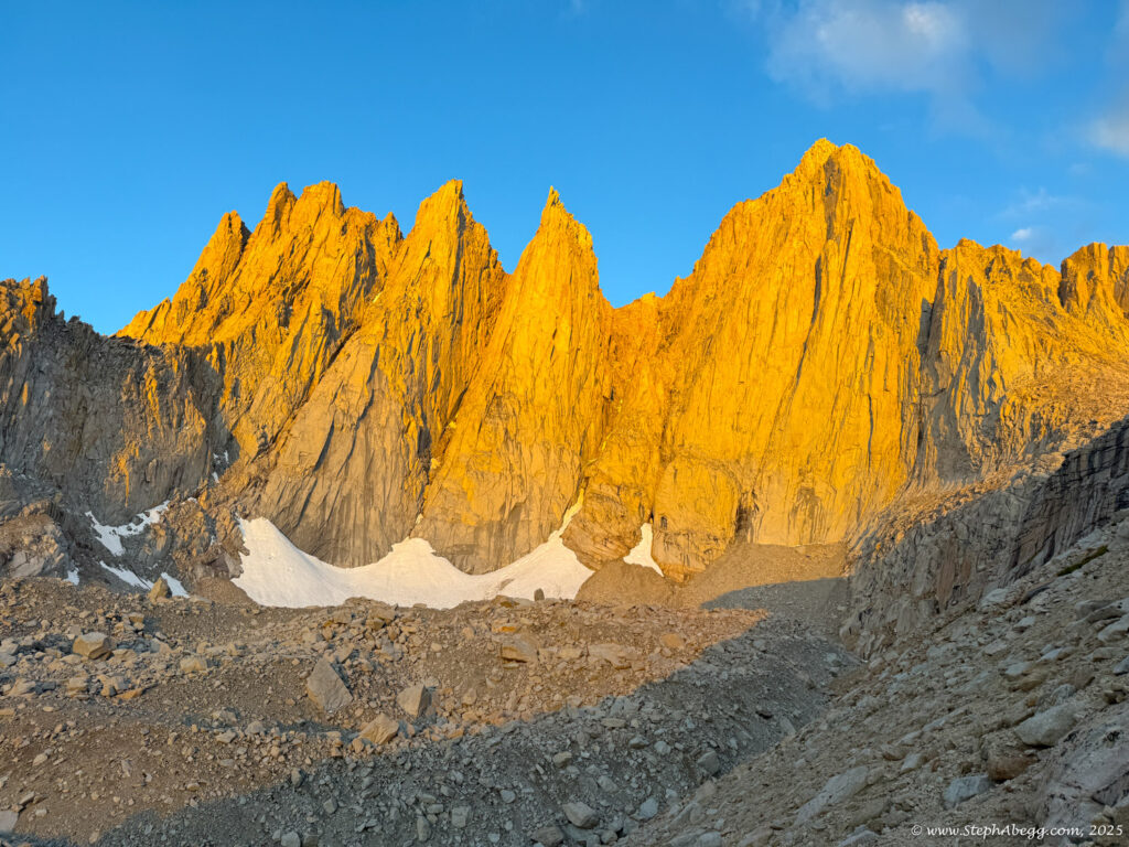
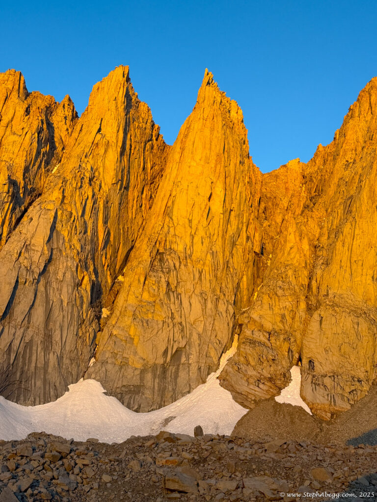
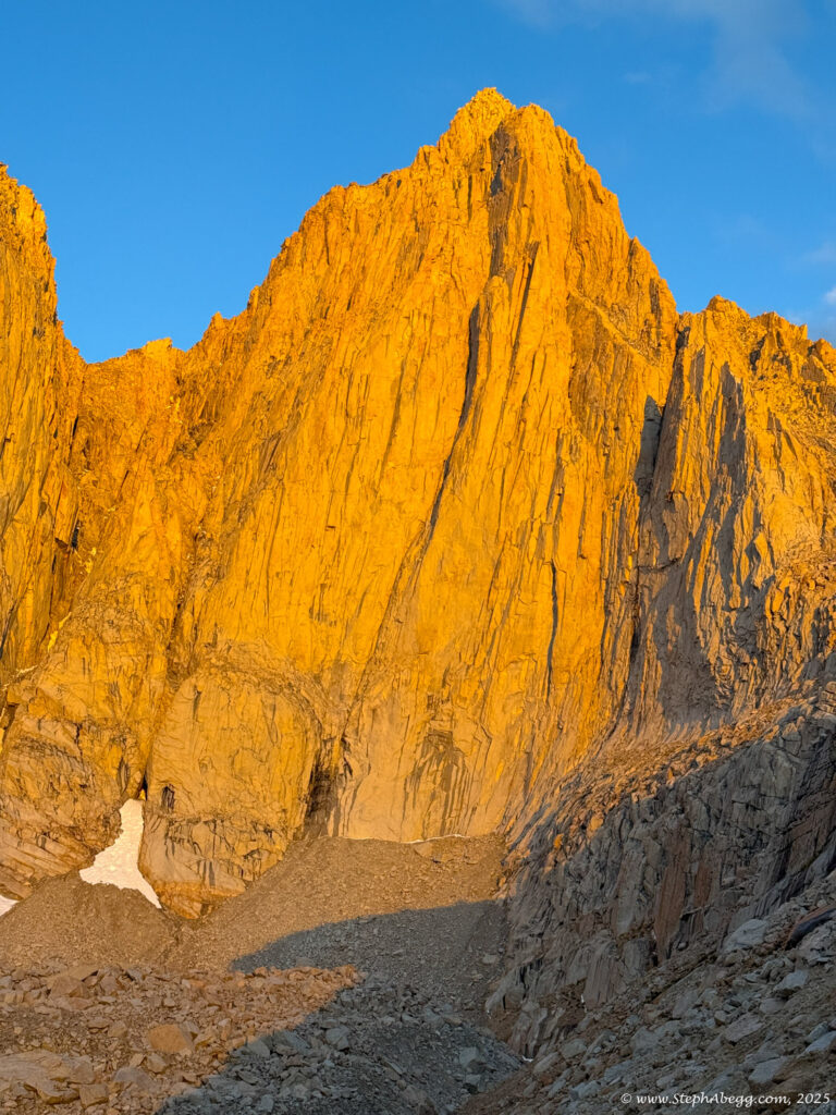
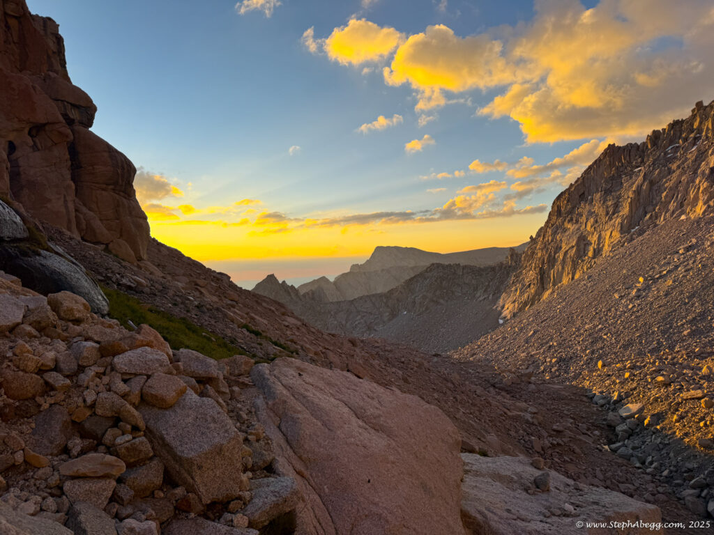
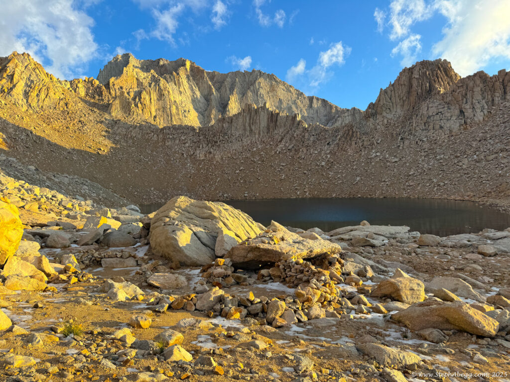
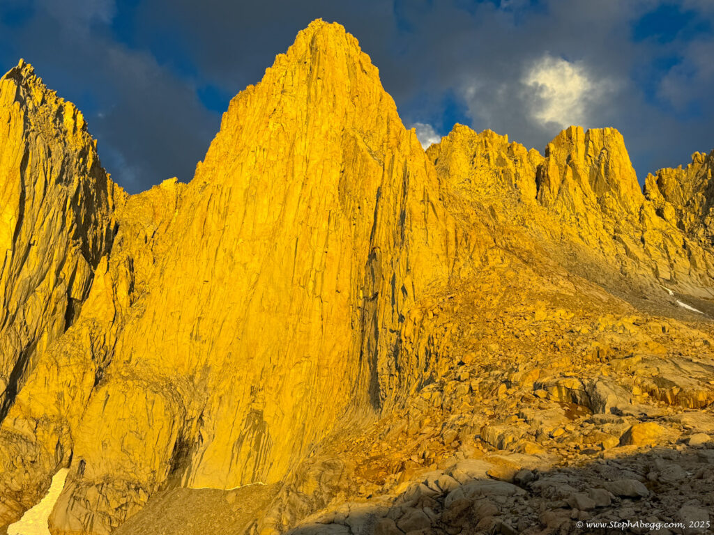
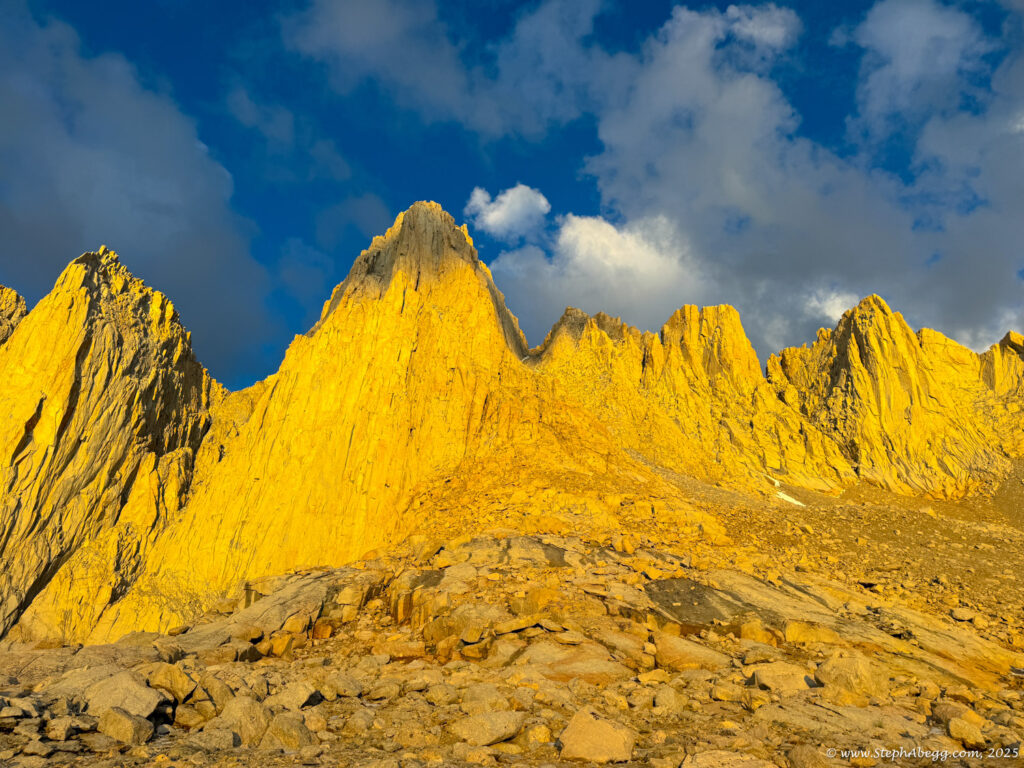
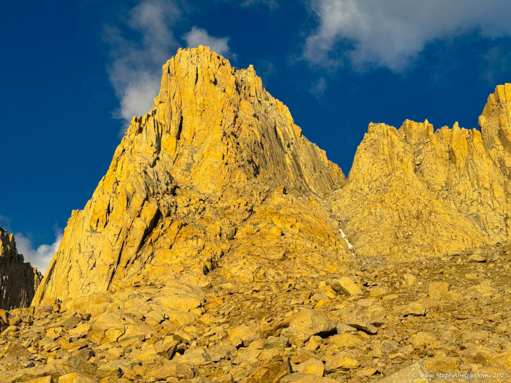
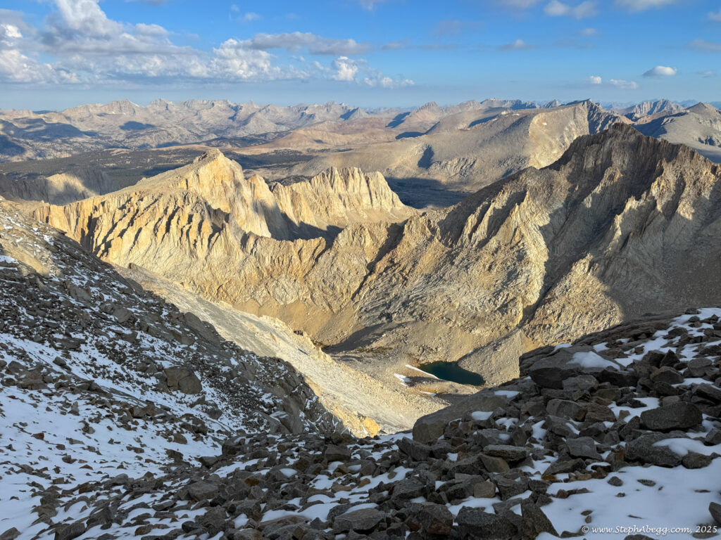
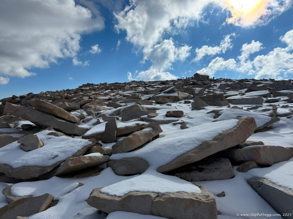
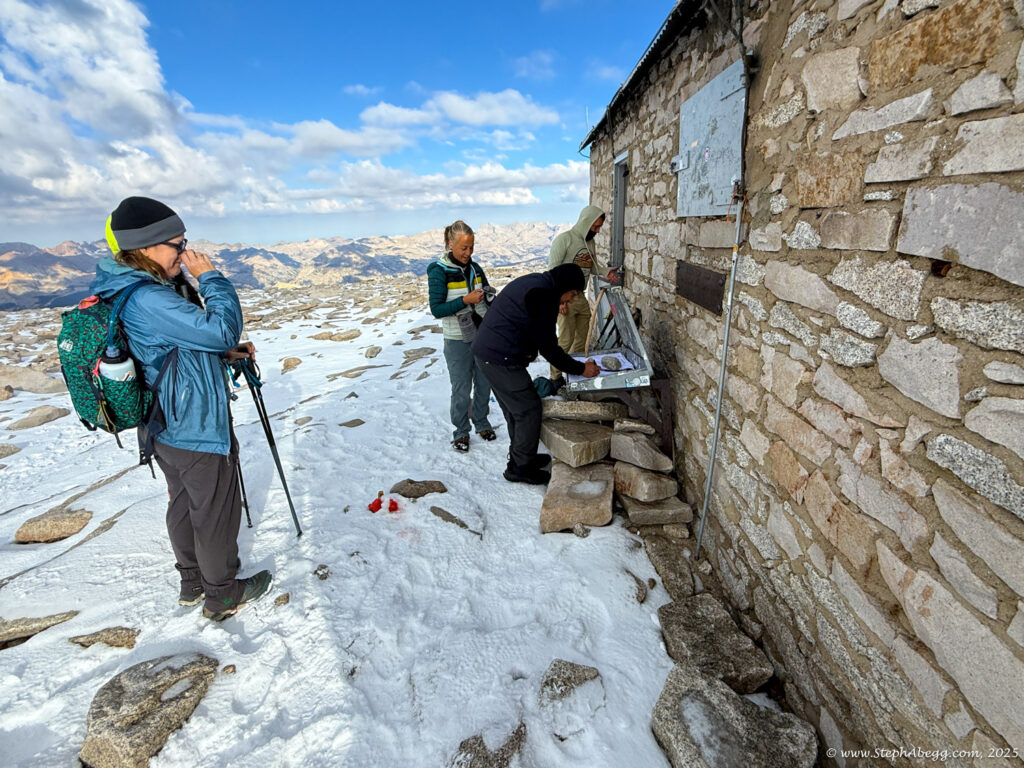
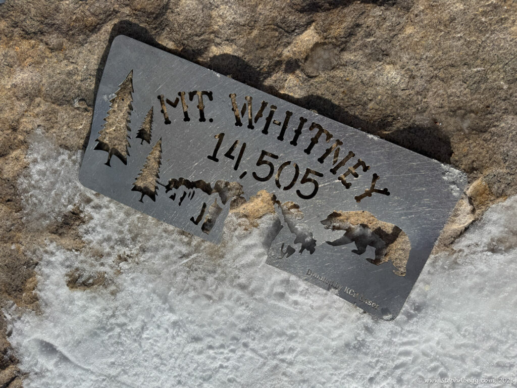
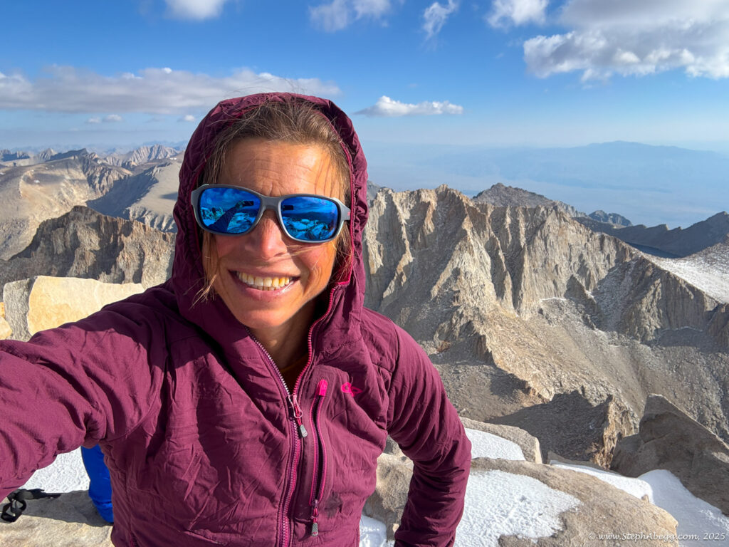
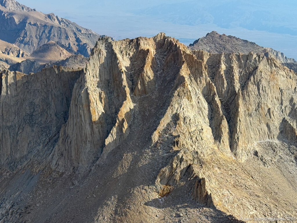
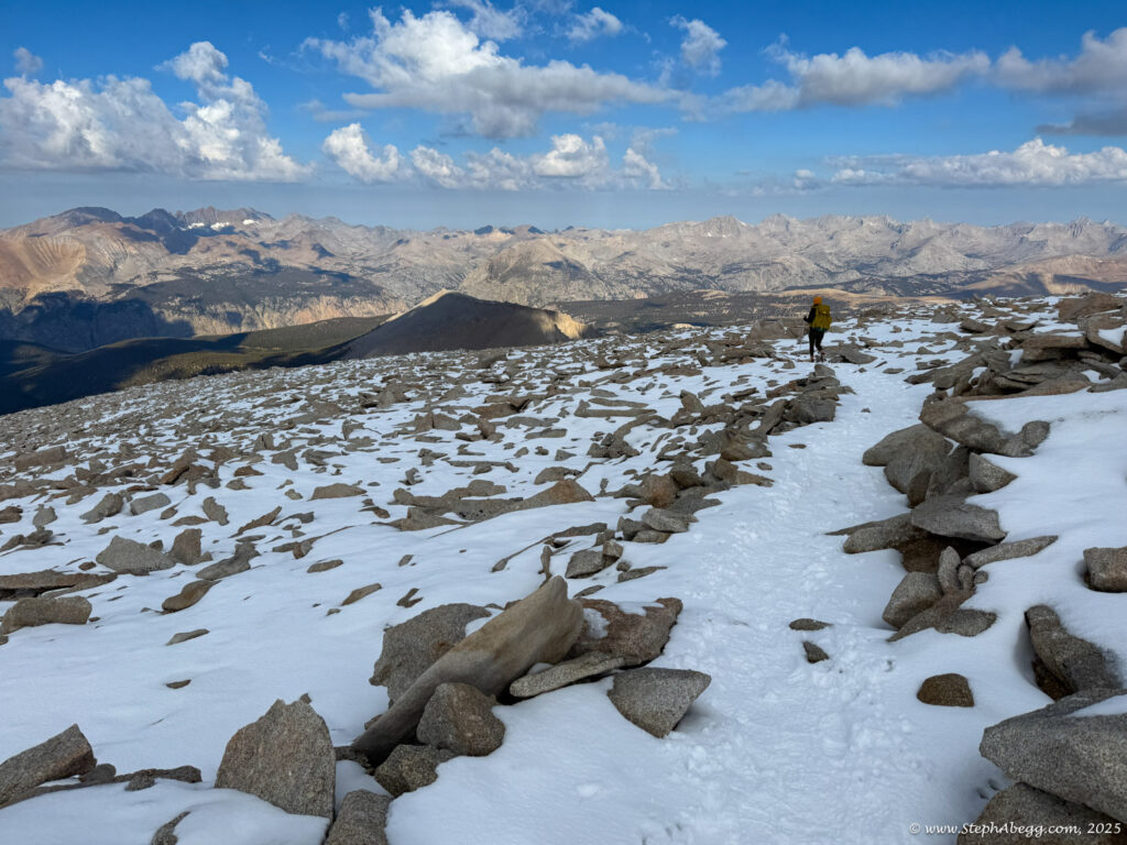
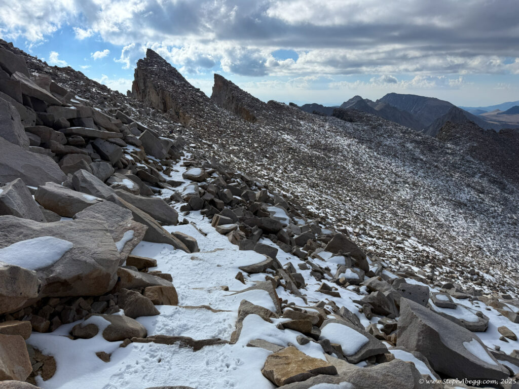
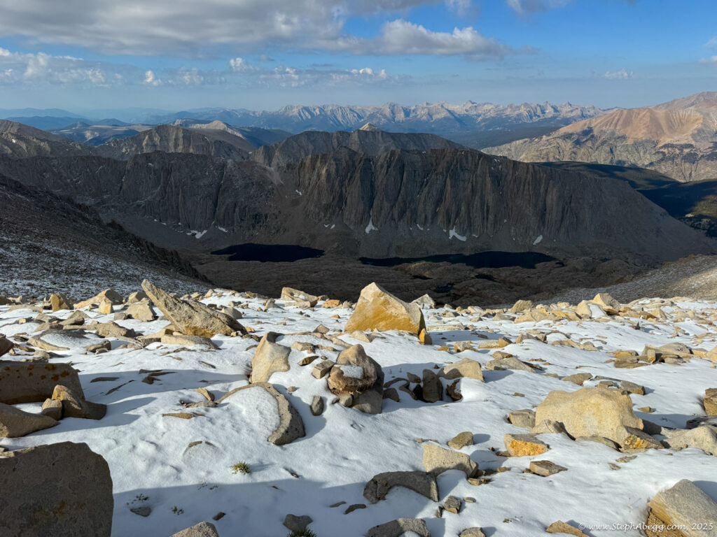
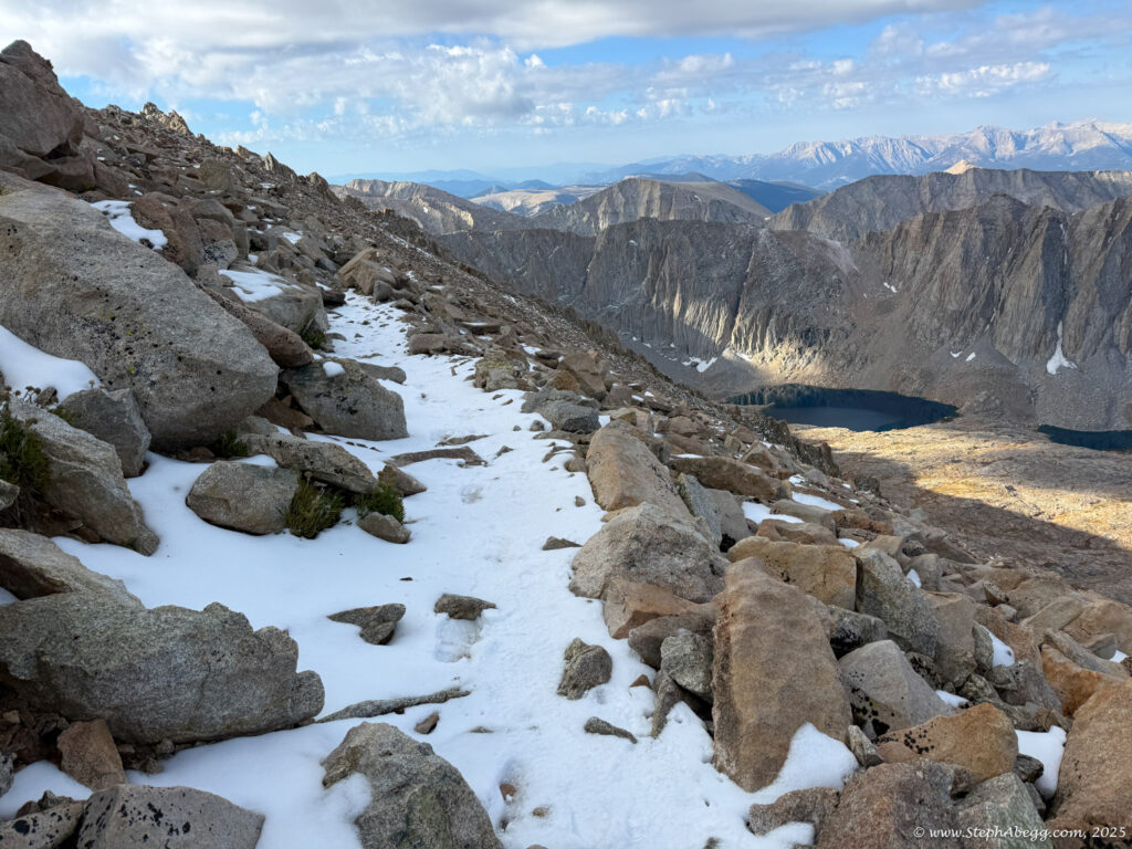
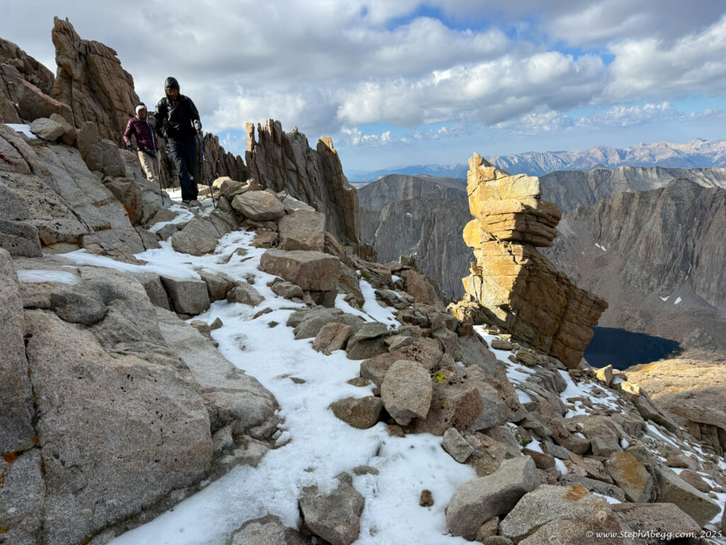
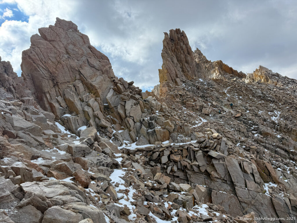
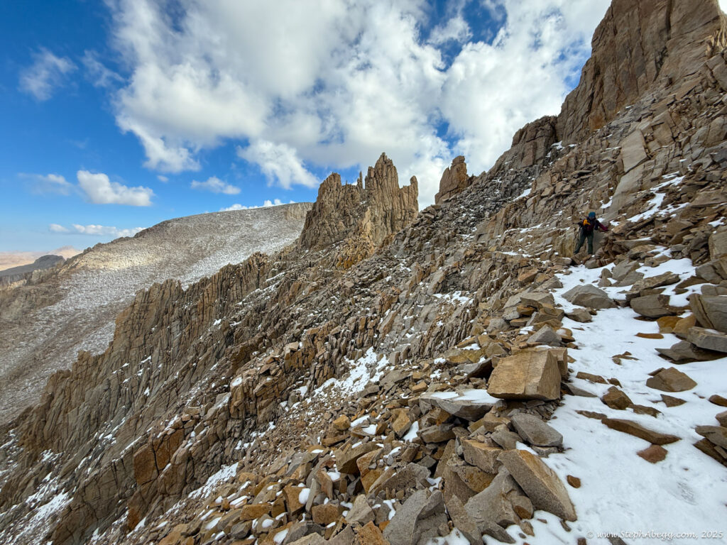
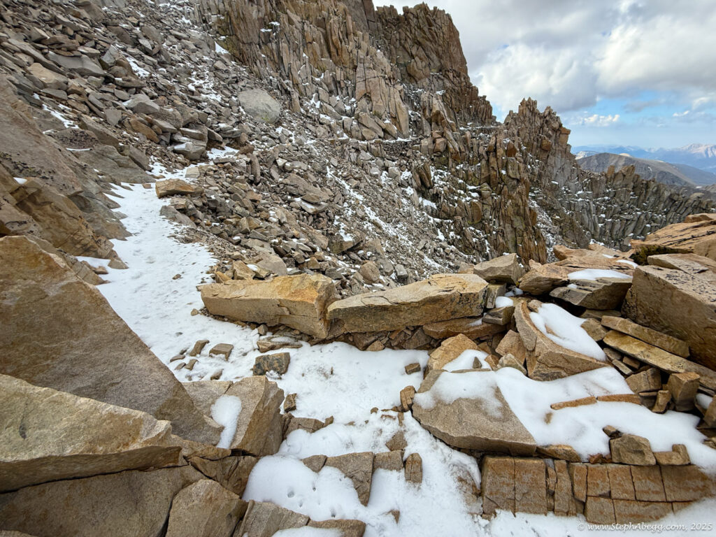
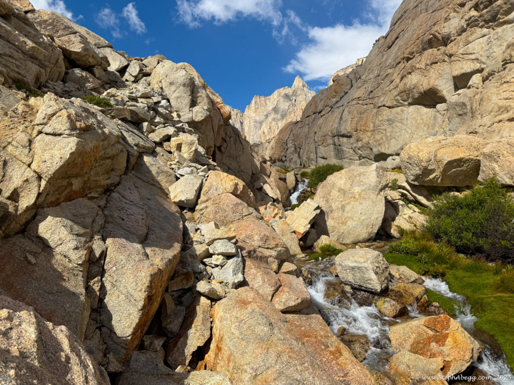
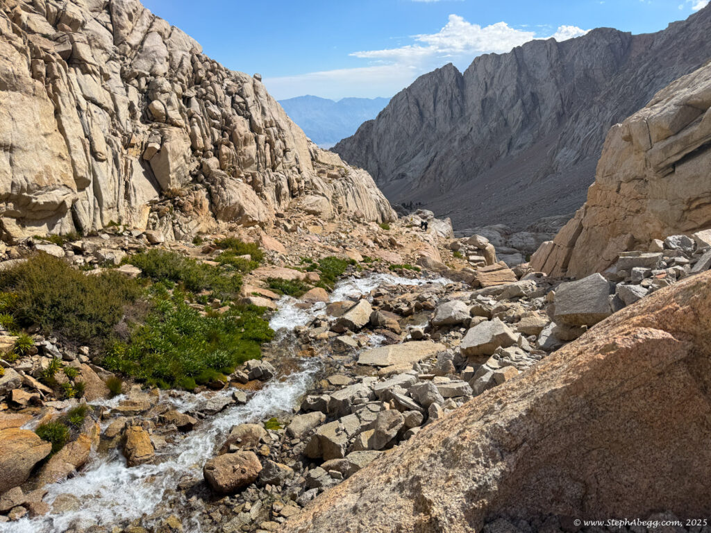
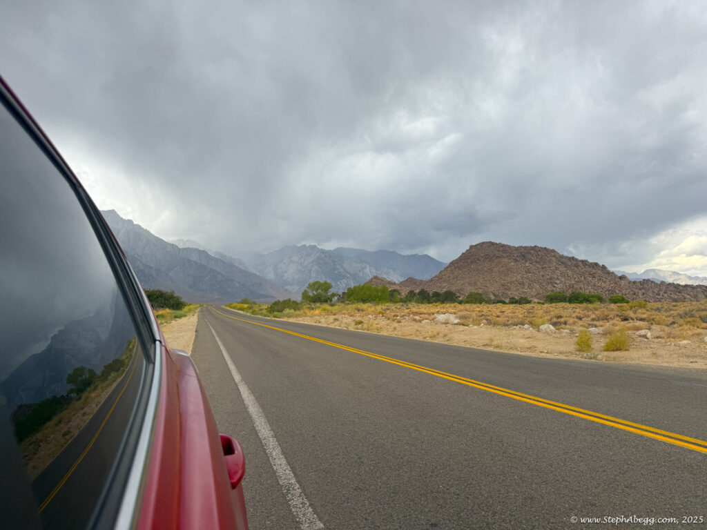
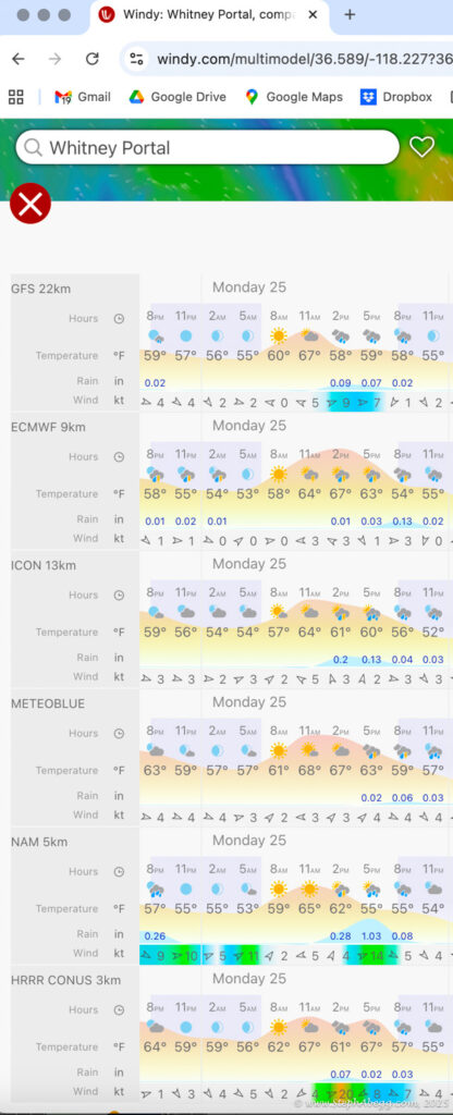
At 14,505 feet, Mount Whitney stands as the highest peak in the contiguous United States. The forecast wasn’t ideal—heavy rain was expected by early afternoon—but with a morning window of decent weather, I decided it was a good day for a fitness push to the summit. My plan was: start around 4 a.m. (sunrise was 6:16 a.m., and I wanted to watch it hit Whitney and Keeler Needle), ascend via the
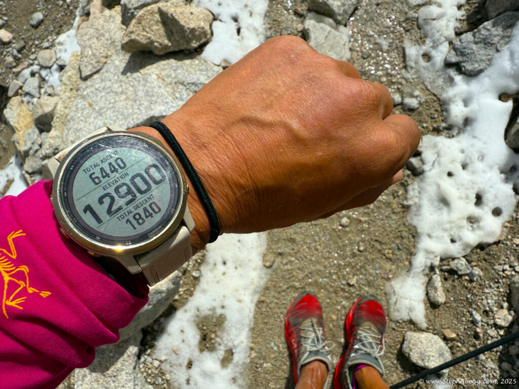
Mountaineer’s Route, descend the Whitney Trail, and hopefully be back at the trailhead by noon to watch the storm roll in from the dry comfort of my car. My total car-to-car time was 8 hours (3:59 up, 3:46 down, short summit break) so I achieved my goal.
I briefly considered soloing the
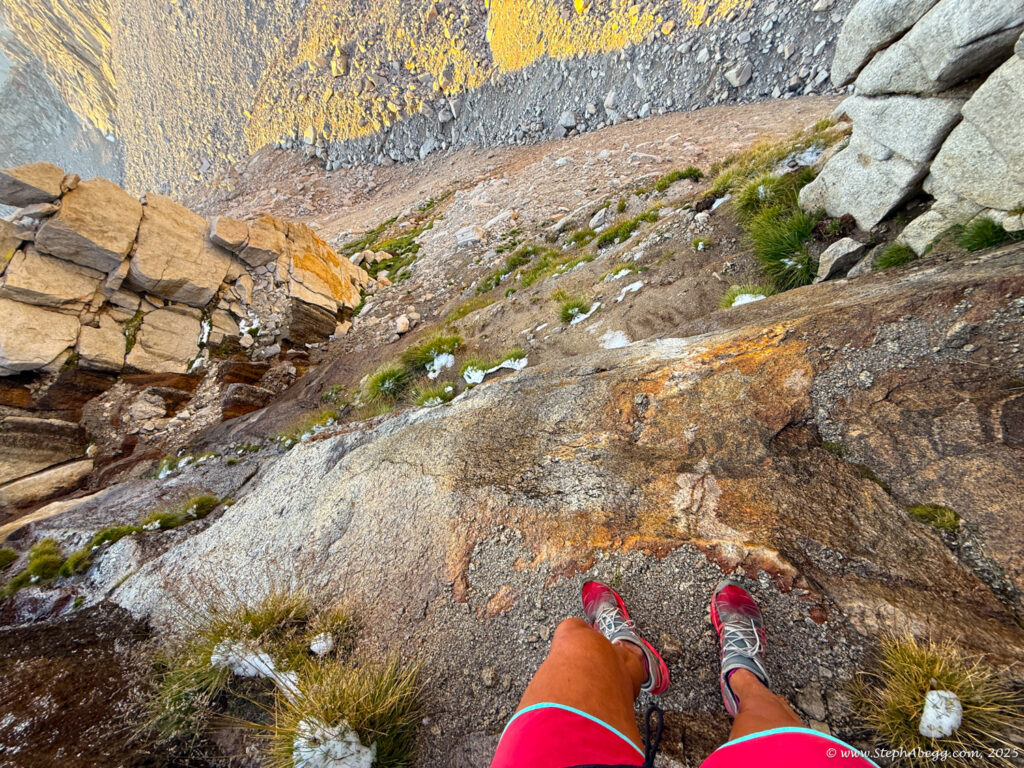
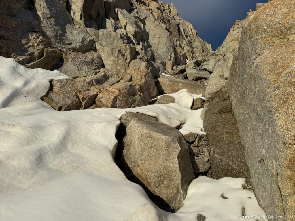
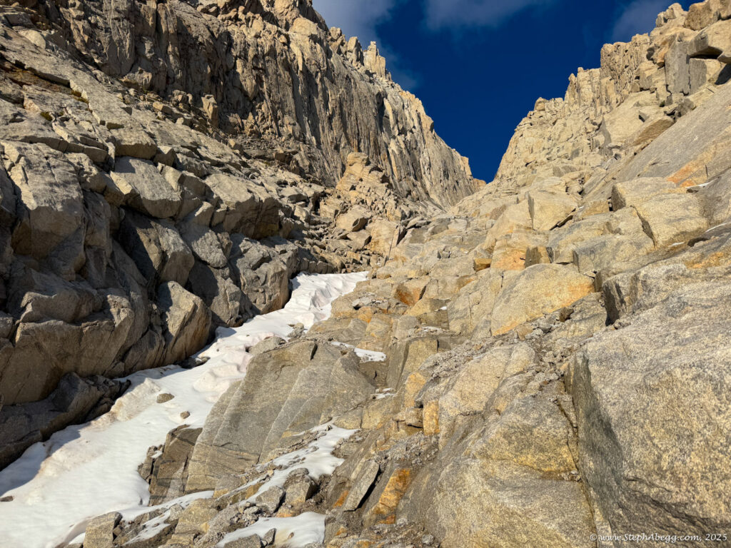
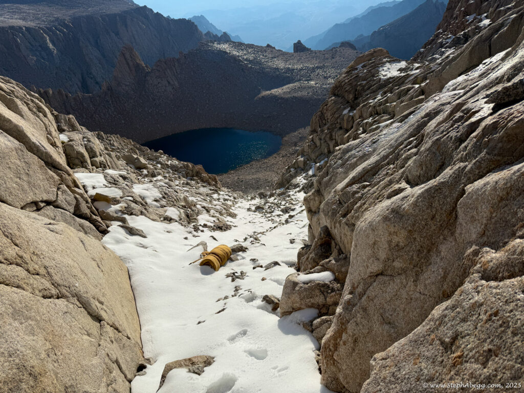
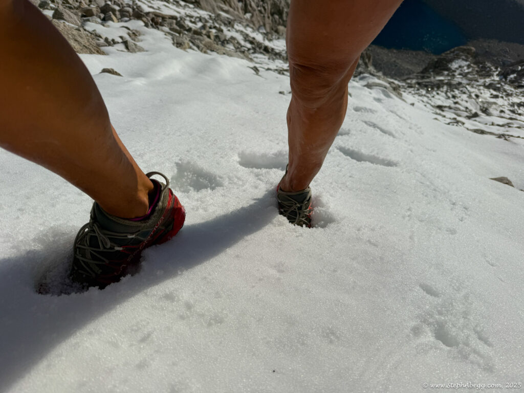
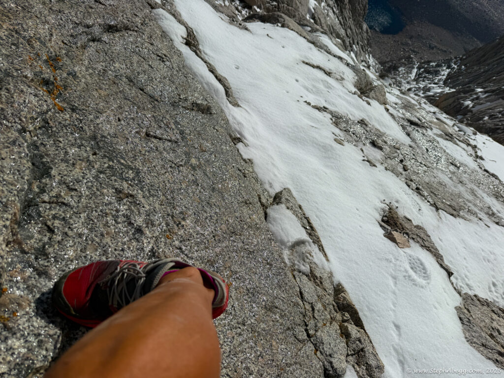
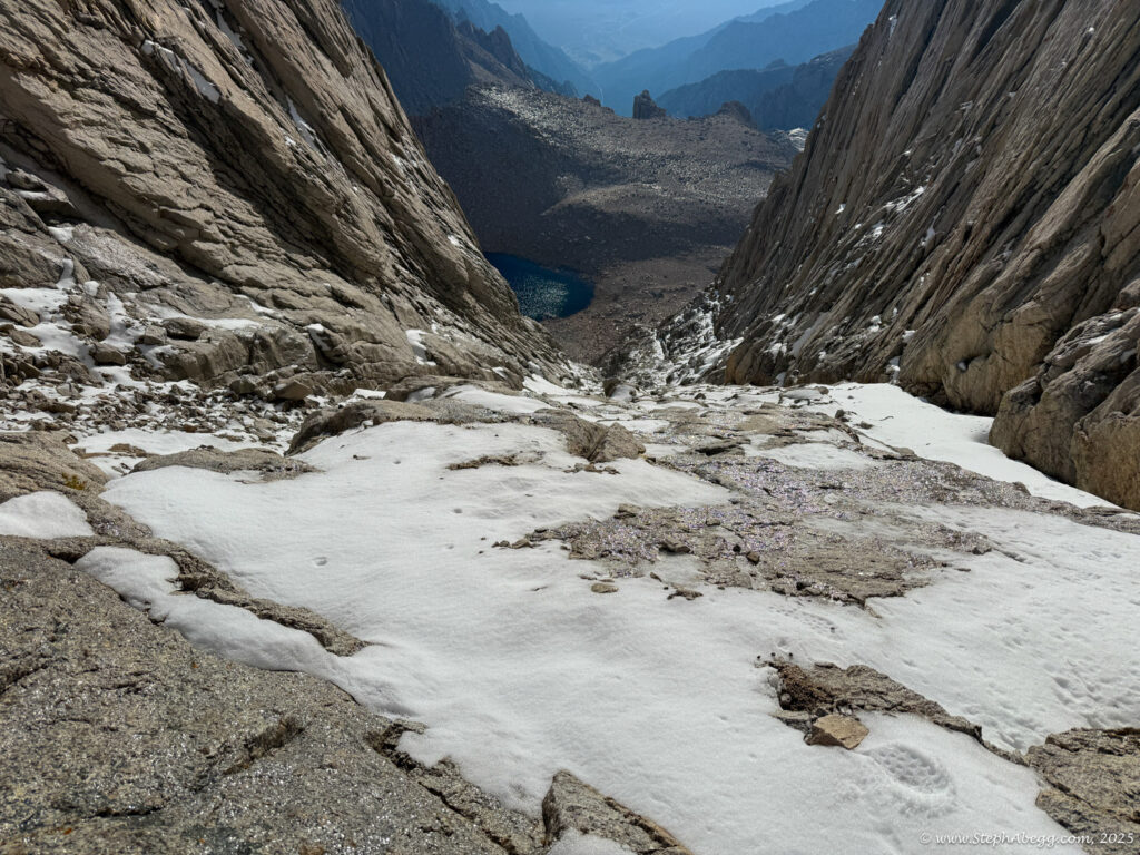
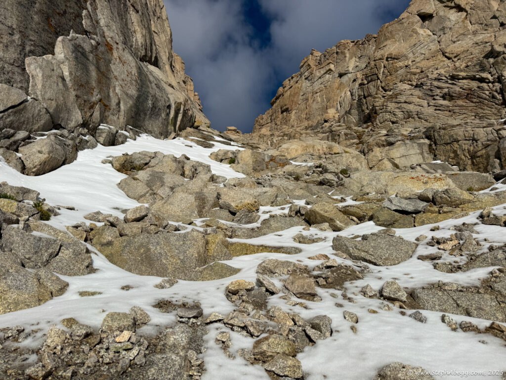
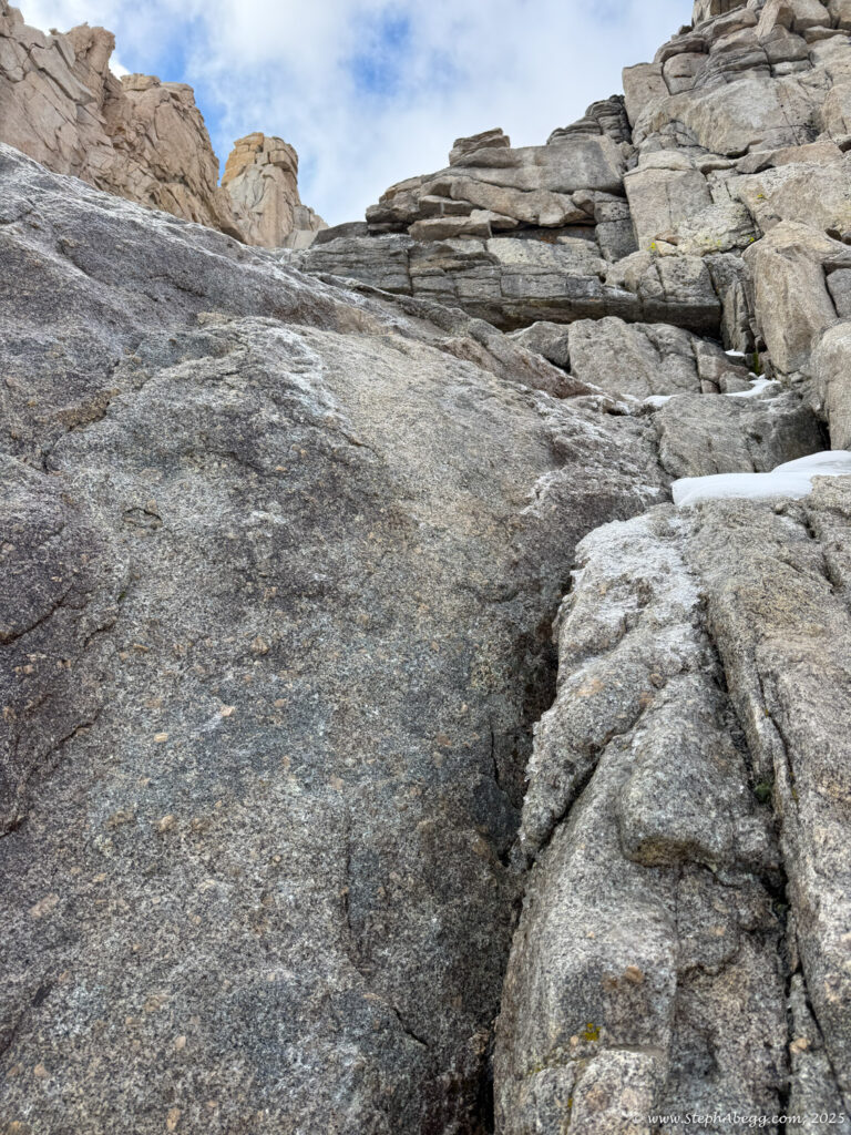
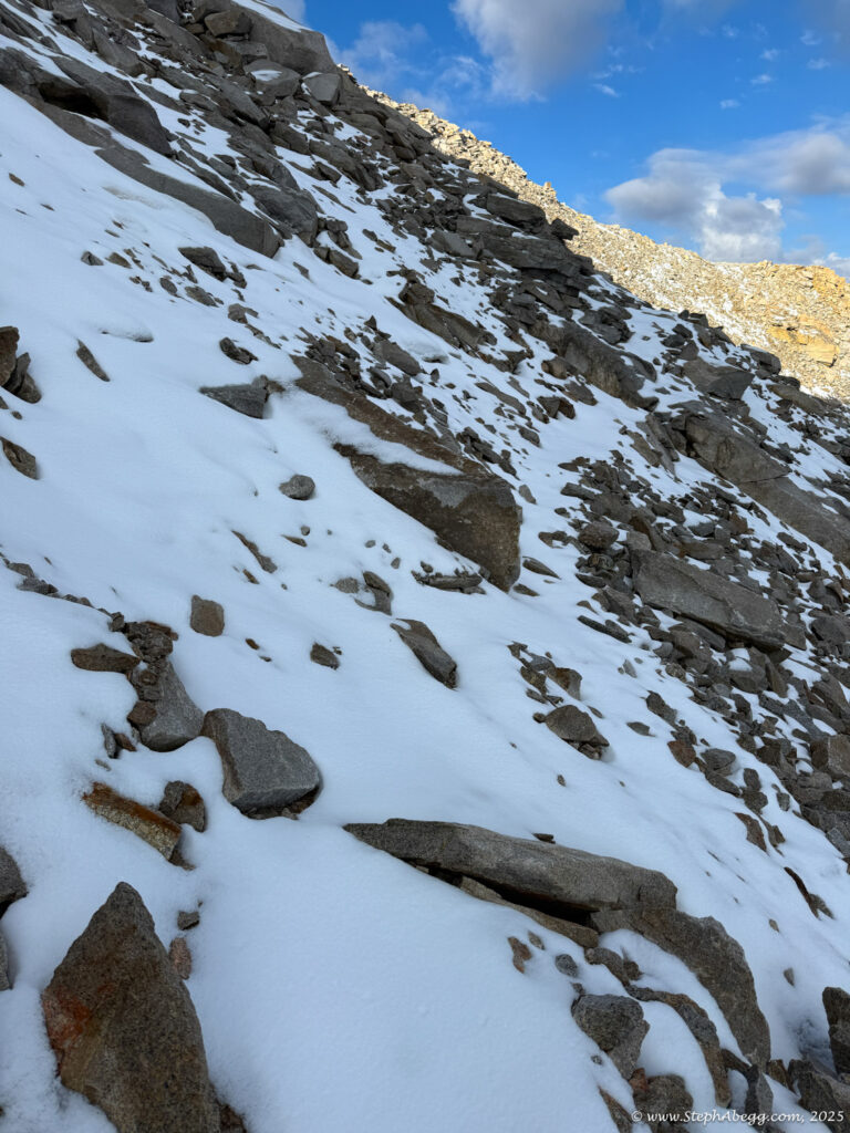
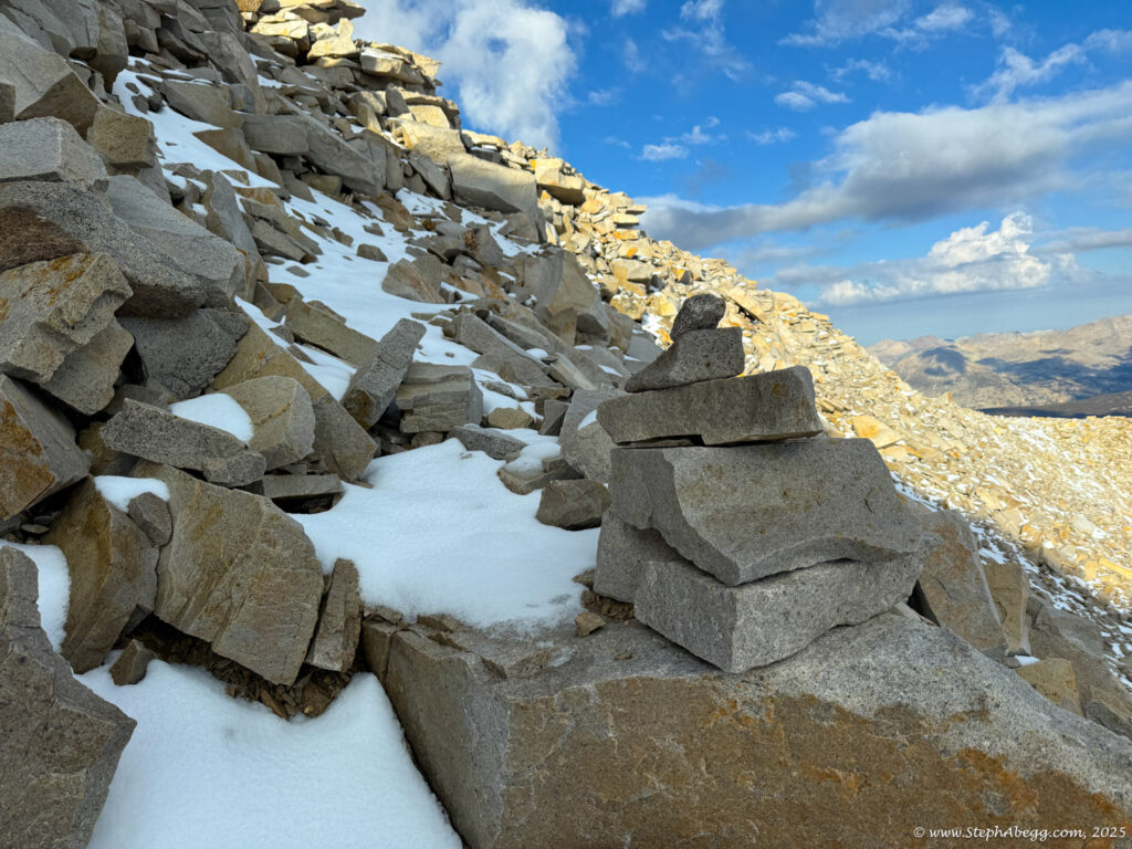
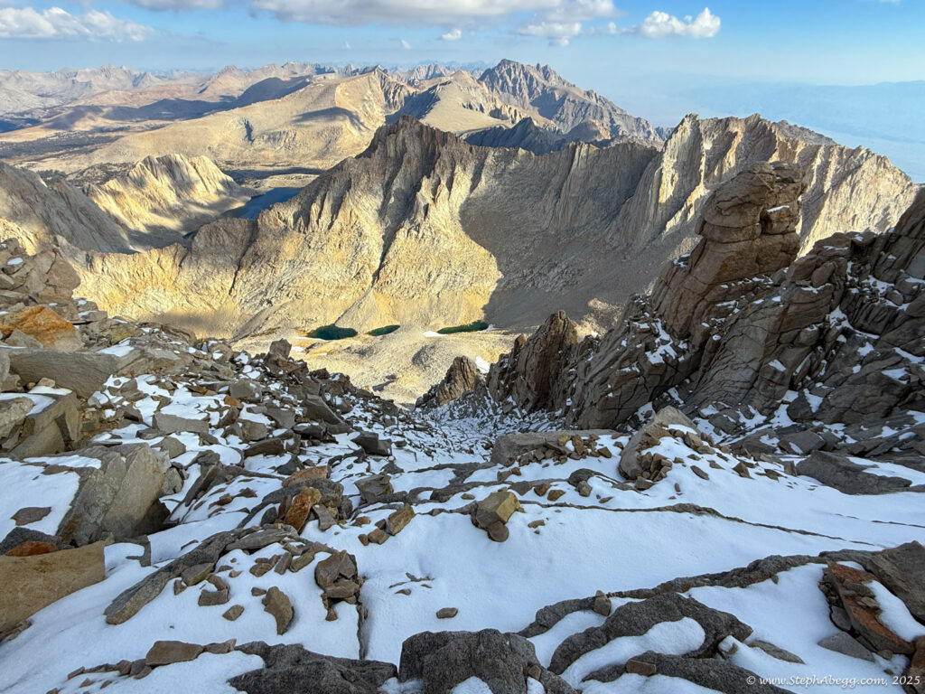
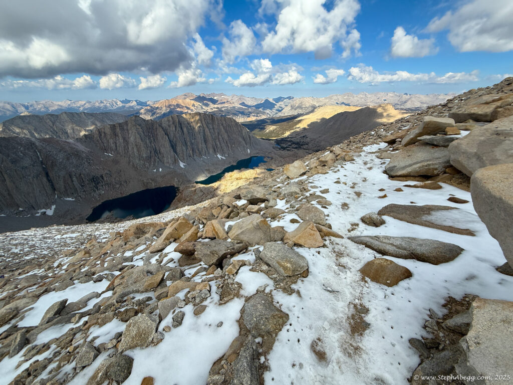
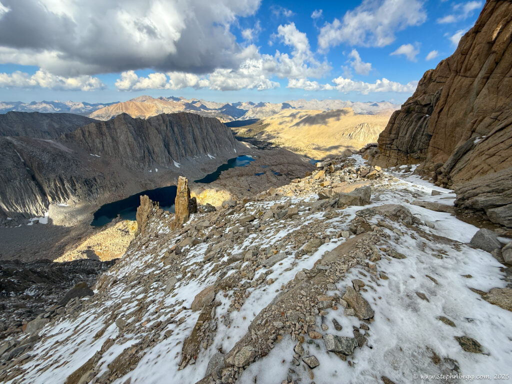
East Buttress (5.7), a route I’d climbed in 2015 and remembered for its solid granite, airy exposure, and short, secure cruxes. But as I packed my climbing shoes, I felt uneasy about soloing it alone. Another time—maybe with a partner. Instead, I tossed in a pair of aluminum crampons, suspecting that recent afternoon storms had left snow on the upper mountain, which would likely collect in the gully and north-facing sections of the
Mountaineer’s Route.
The
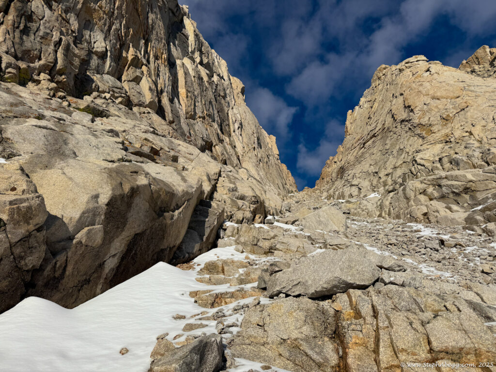
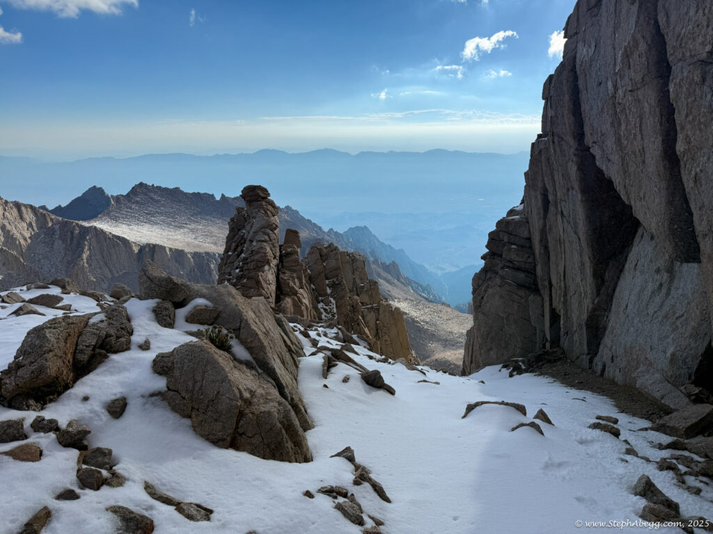
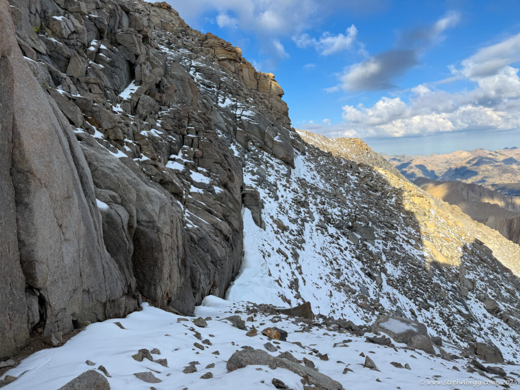
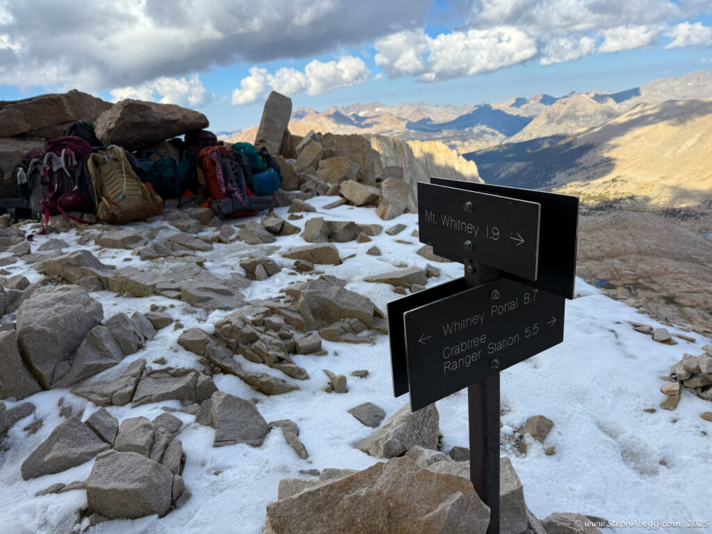
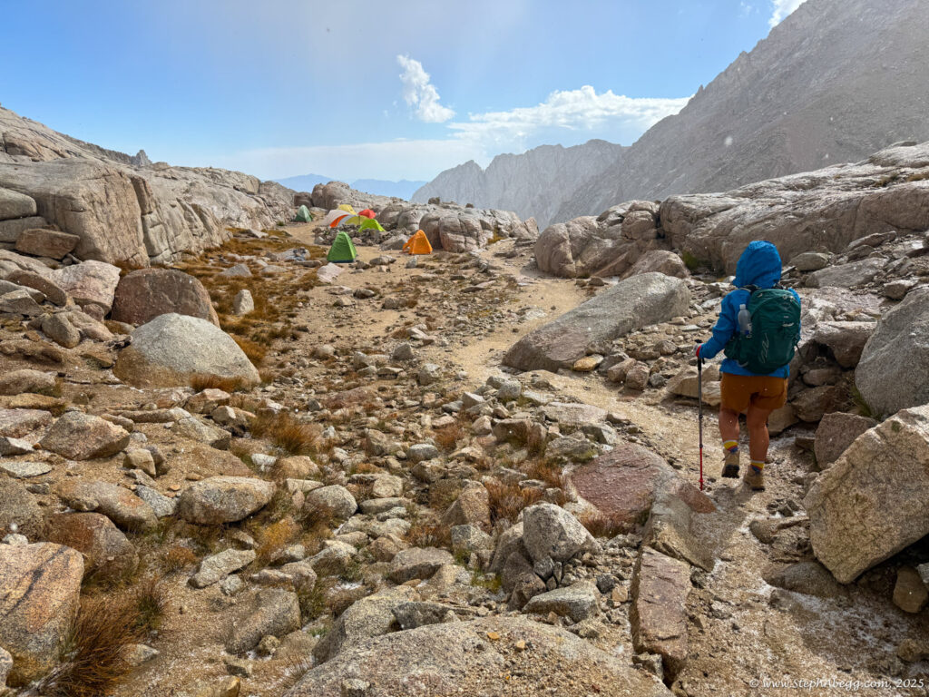
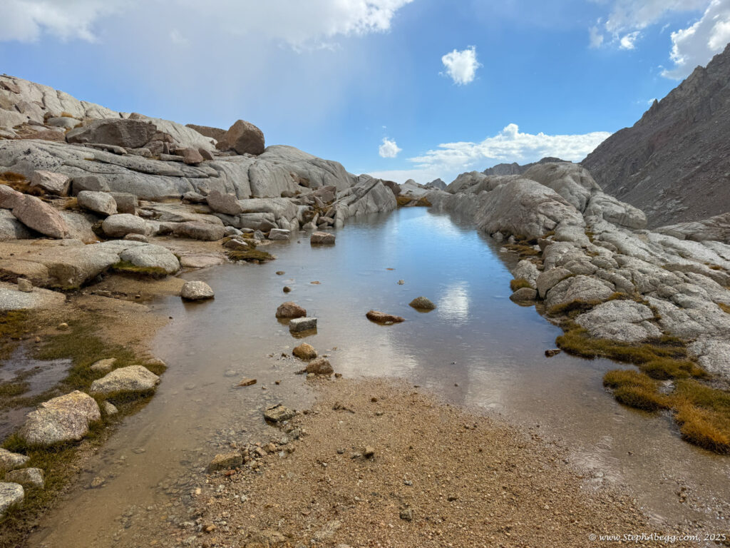
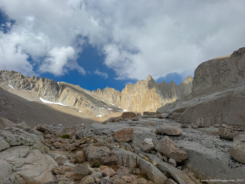
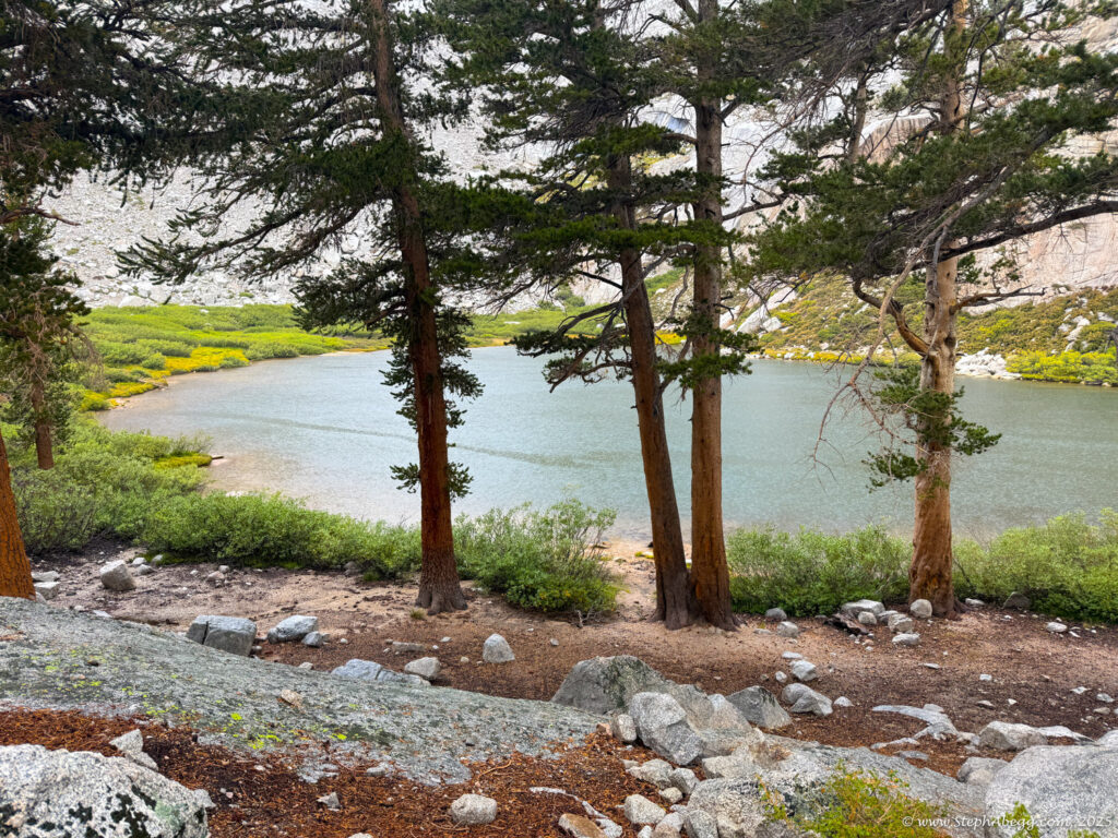
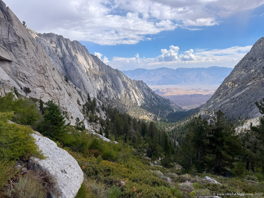
Mountaineer’s Route is the “other moderate way” up Whitney—more direct, more adventurous, and blessedly less crowded than the main trail. Conditions vary: sometimes it’s a low-angle ice climb, sometimes a tedious scree slog, but always a worthy alternative to the standard route. While most parties stretch it into a multi-day trip with a camp at the Boy Scout Lakes, it’s also a classic car-to-car push.
(I had descended the
Mountaineer's Route multiple times—such as after climbing Whitney's
East Buttress (5.7) and
East Face (5.7) as well as after climbing
Keeler Needle—but I had never used it as an ascent route. See these trip reports for more photos of the
Mountaineer's Route with potentially different conditions.)
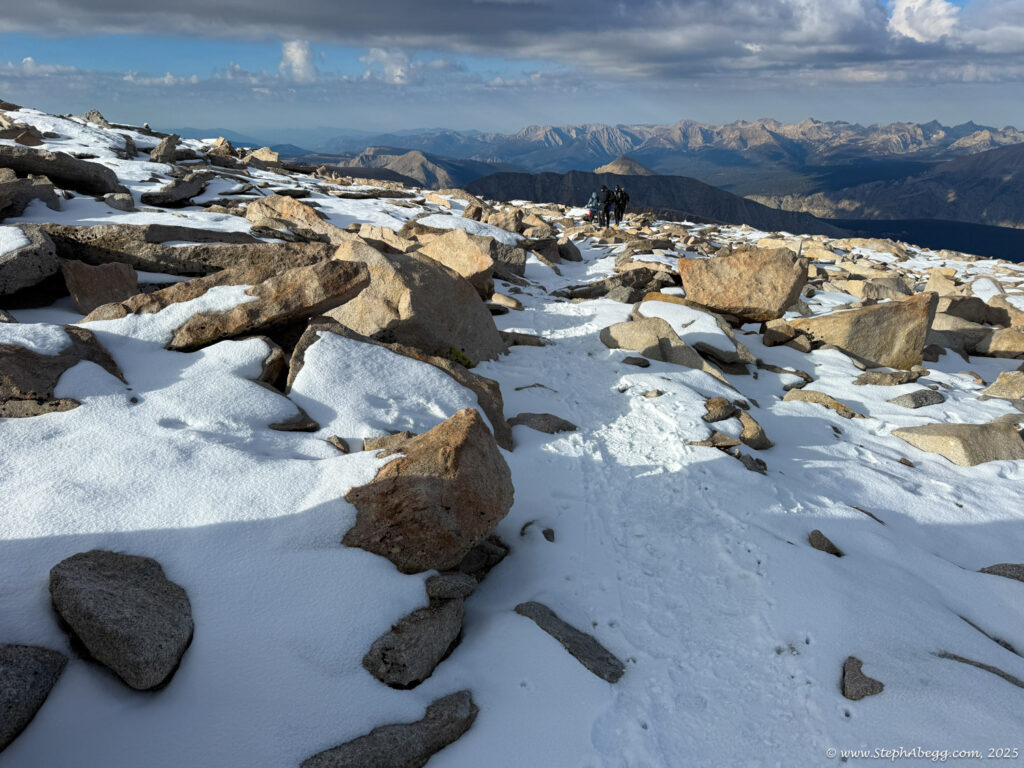
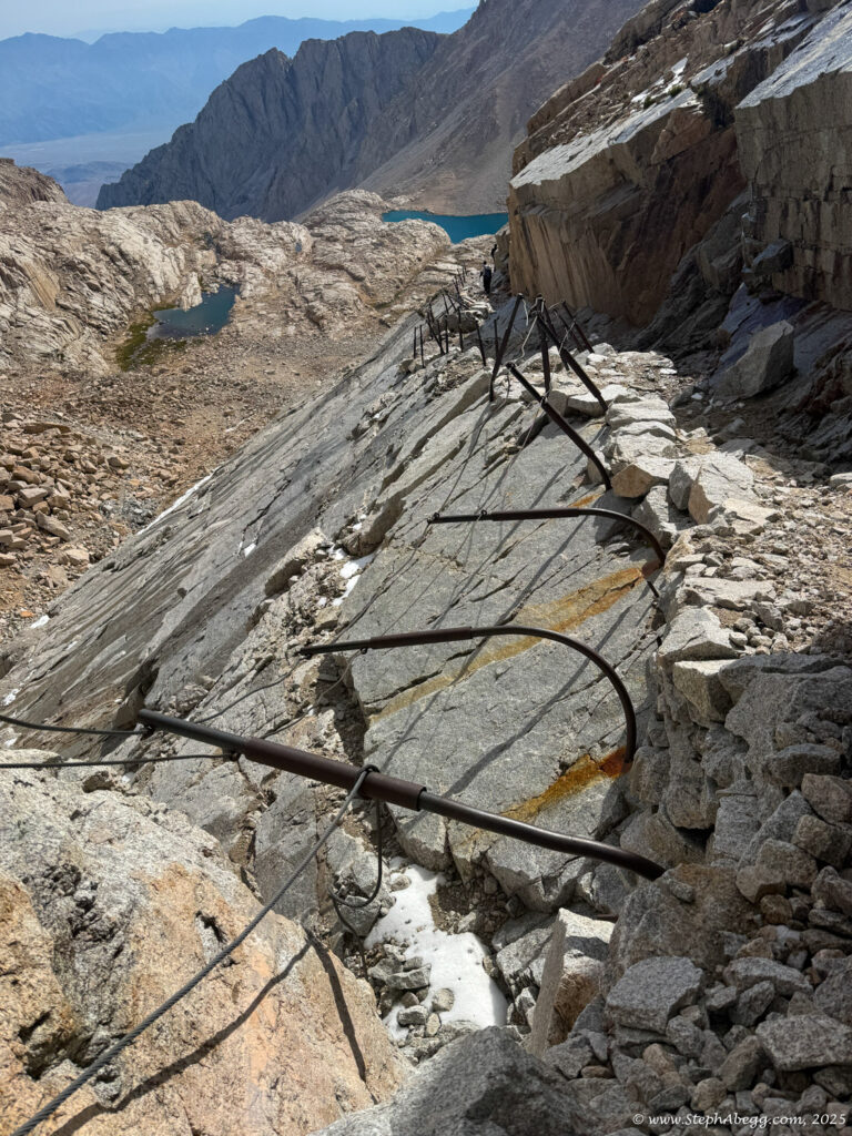
For the descent, I planned on the Whitney Trail, a strenuous but well-traveled path of switchbacks, cliffs, and waterfalls that delivers hikers to the summit of the Lower 48’s high point.
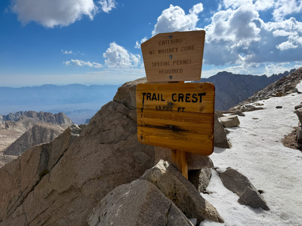
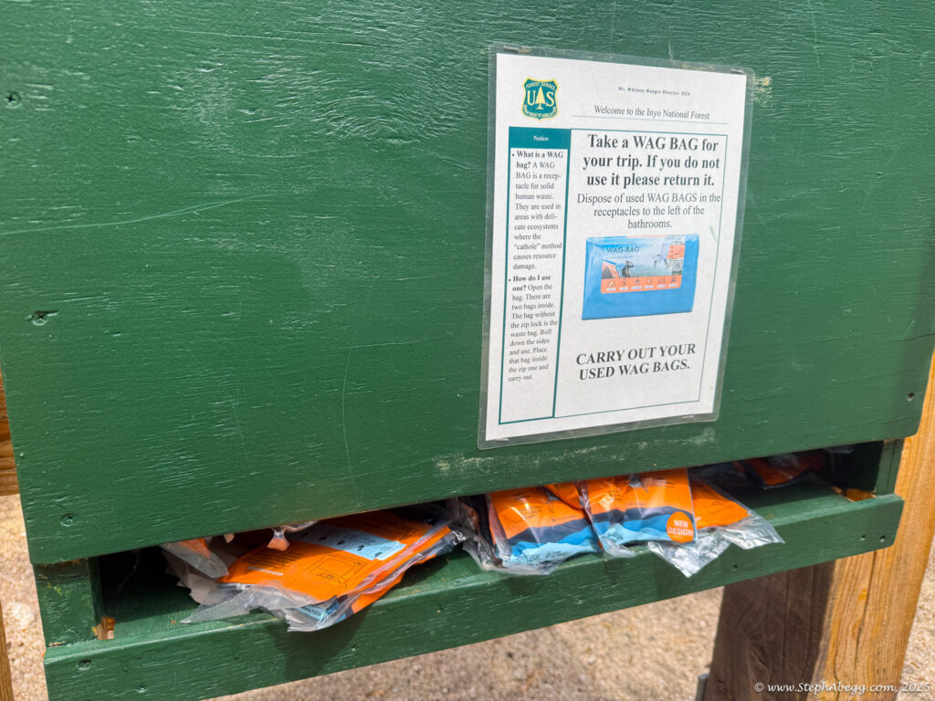
Permits are required for both day and overnight trips, and during quota season (May–November) they’re hard to get, distributed via lottery. Cancellations do pop up online, though—I managed to snag one the night before my hike for $21.
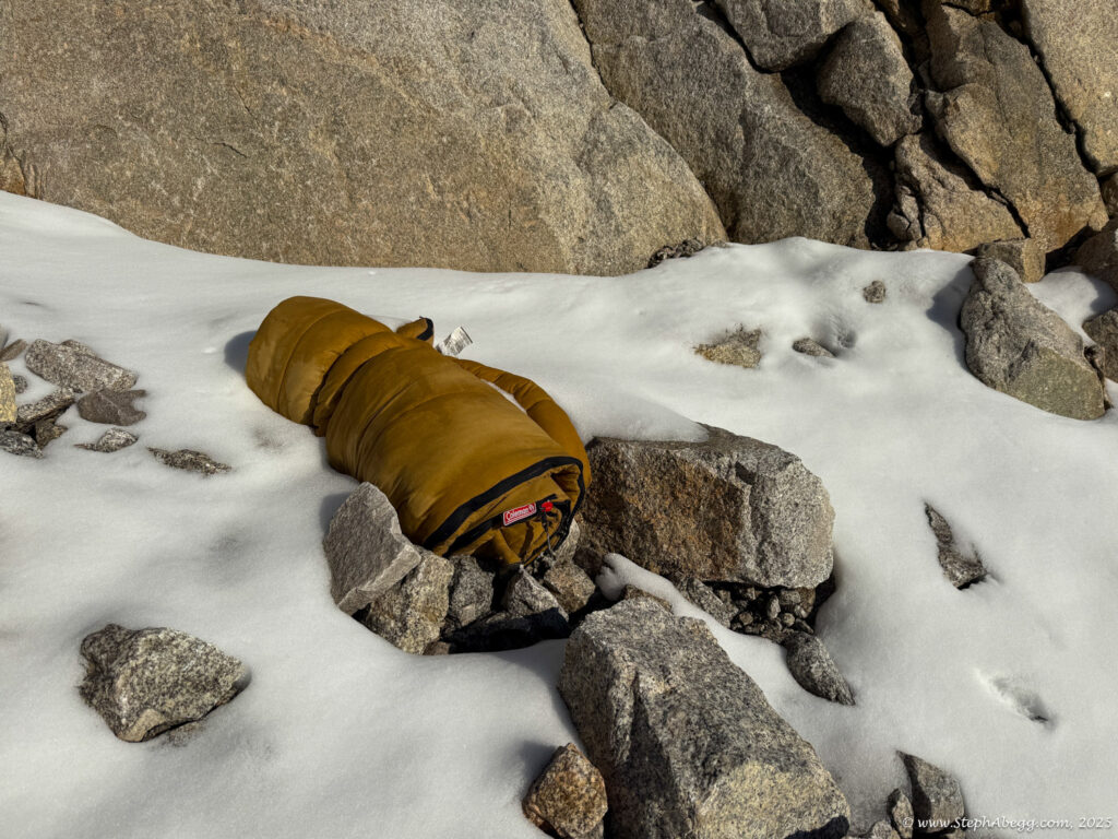
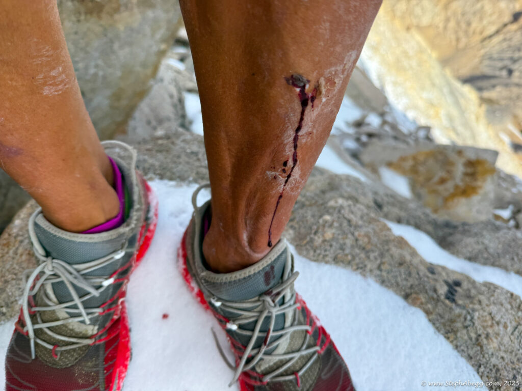
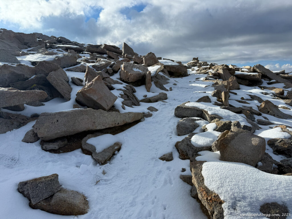
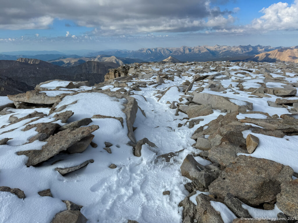
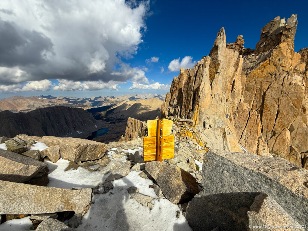
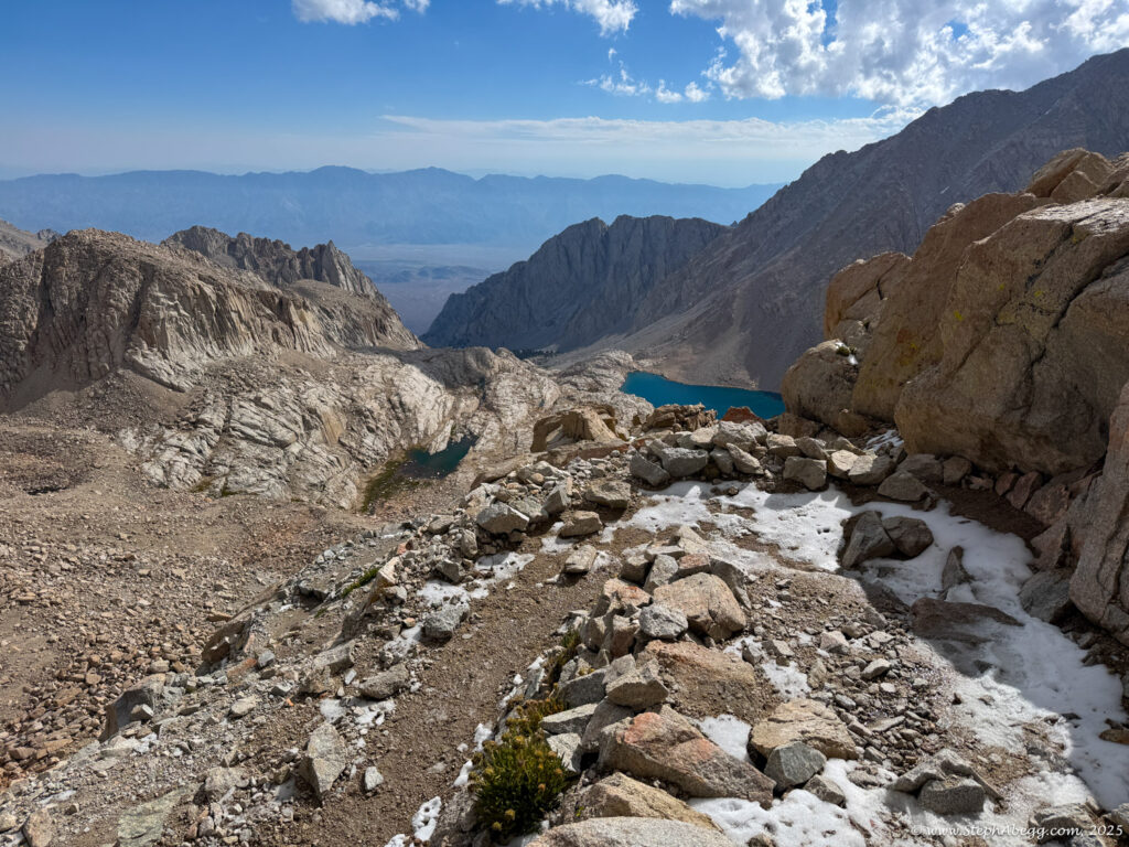
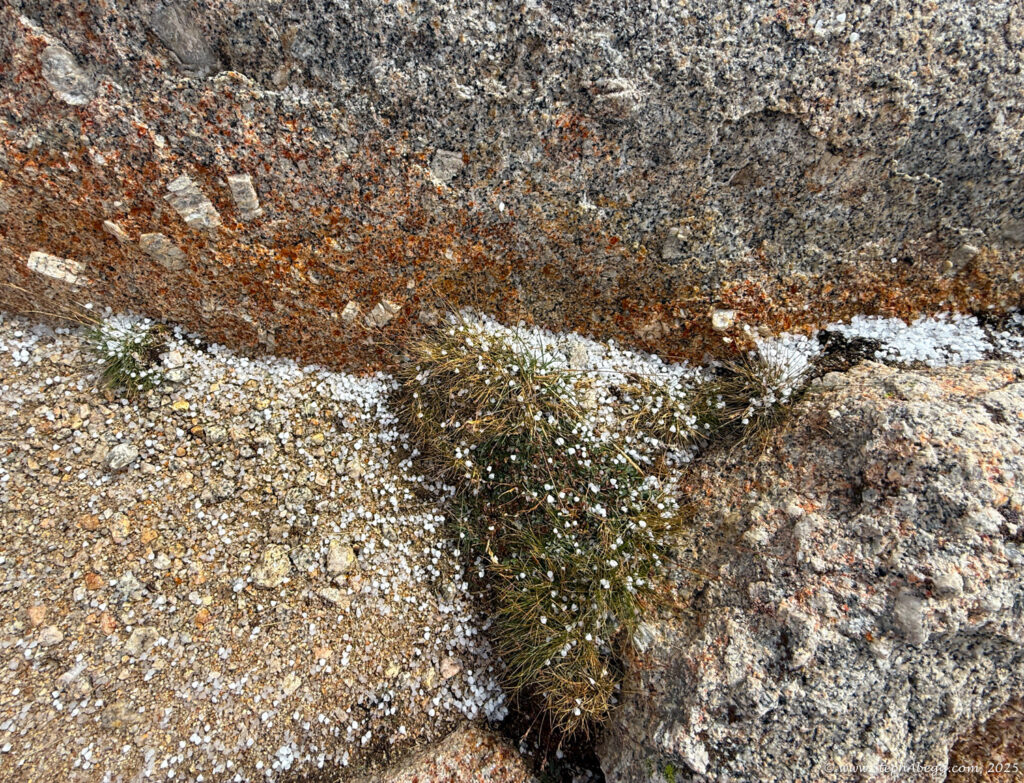
What follows is a trip report from my quick up-and-over of Mount Whitney. I never did use my crampons, but there was indeed a fair amount of fresh snow high on the mountain, so the
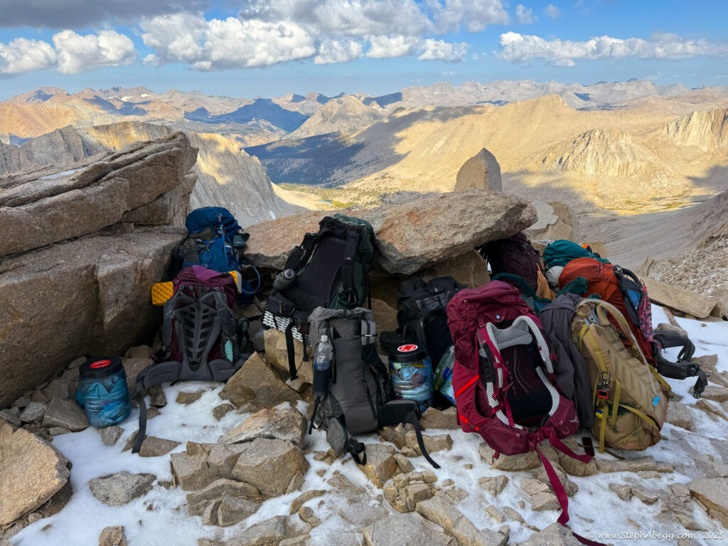
Mountaineer's Route lived up to its name a bit. I didn’t see another person until reaching the summit around 8 a.m. On the hike out I got spit on by a few squalls (sustained enough I put on my rain jacket), and was glad I had nabbed the summit early.


