Intro
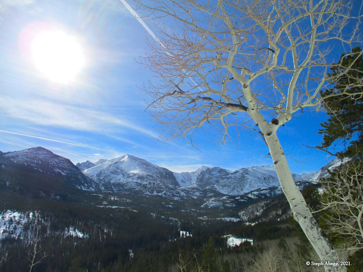
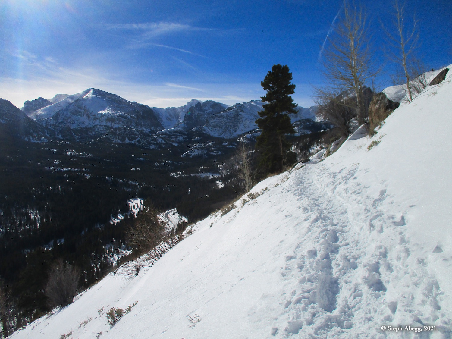
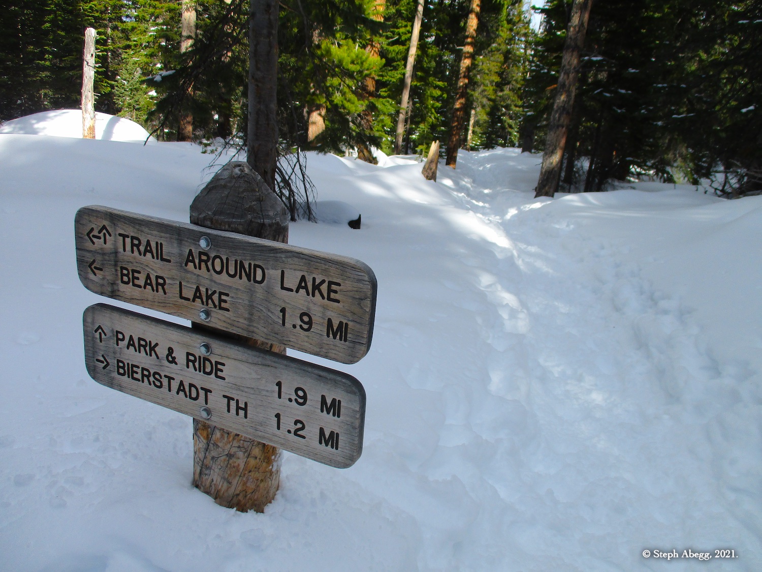
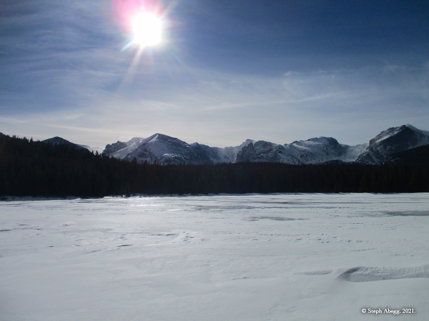
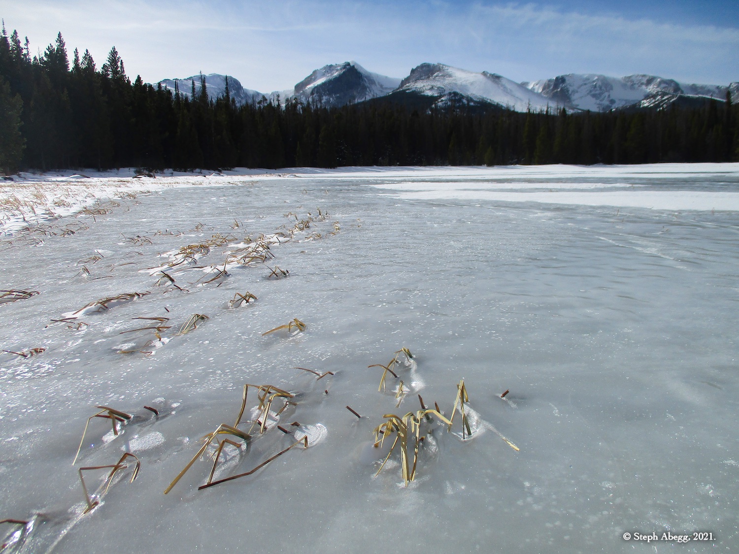
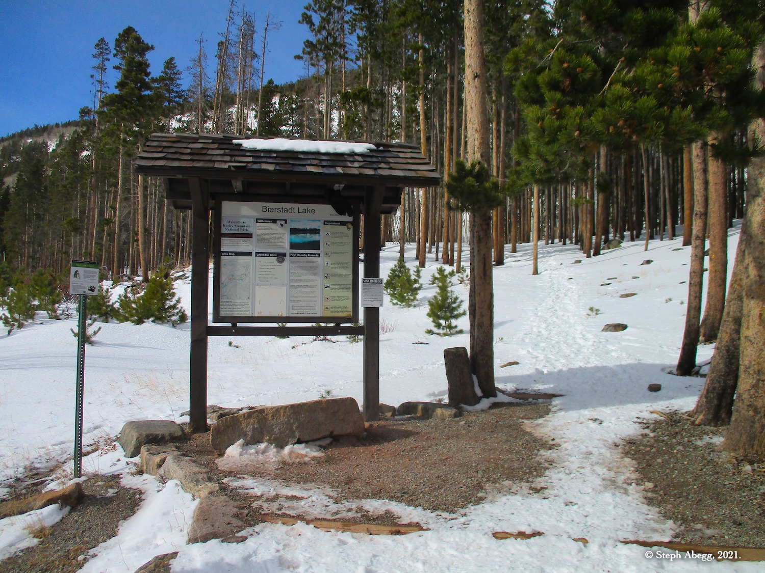
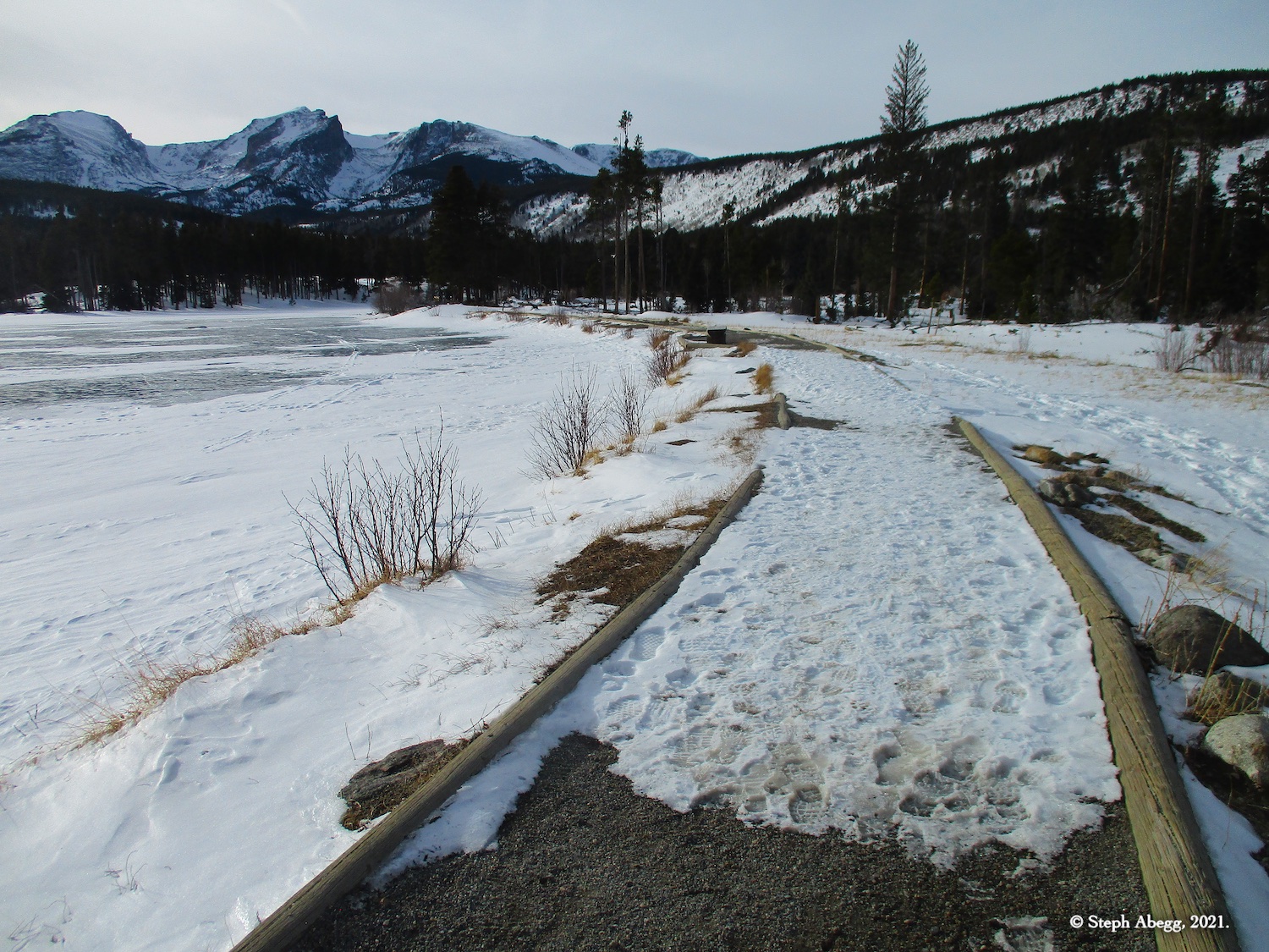
It was a beautiful, uncharacteristically warm (48°F in Estes Park!) winter day. I finished up work just after noon and decided to go enjoy the snow in RMNP for a couple of hours. I never hiked to Bierstadt or Sprague Lakes in RMNP, both are short hikes (Bierstadt Lake is 3.2 miles, 725 feet gain the hike around Sprague Lake is a mere 0.5 miles and 10 feet gain), and the trailhead for either was a mere 15 minutes drive away, so that sounded like a good plan. First I hiked up to and around Bierstadt Lake and then on the drive back I stopped and tacked on the short loop around Sprague Lake. The trails were packed down so snowshoes were not needed, although I did use them up at Bierstadt Lake to tromp through some untouched snow in the woods for a bit. Both lakes have panoramic views of the mountains along the Continental Divide, including, from left to right: Longs Peak, Chiefs Head Peak, McHenrys Peak, Powell Peak, Taylor Peak, Otis Peak, Hallett Peak and Flattop Mountain.
The hike to Bierstadt Lake took 1 hour 25 minutes and the hike around Sprague Lake took 15 minutes. Either could be done much faster, but I was just enjoying rambling along and taking photos.
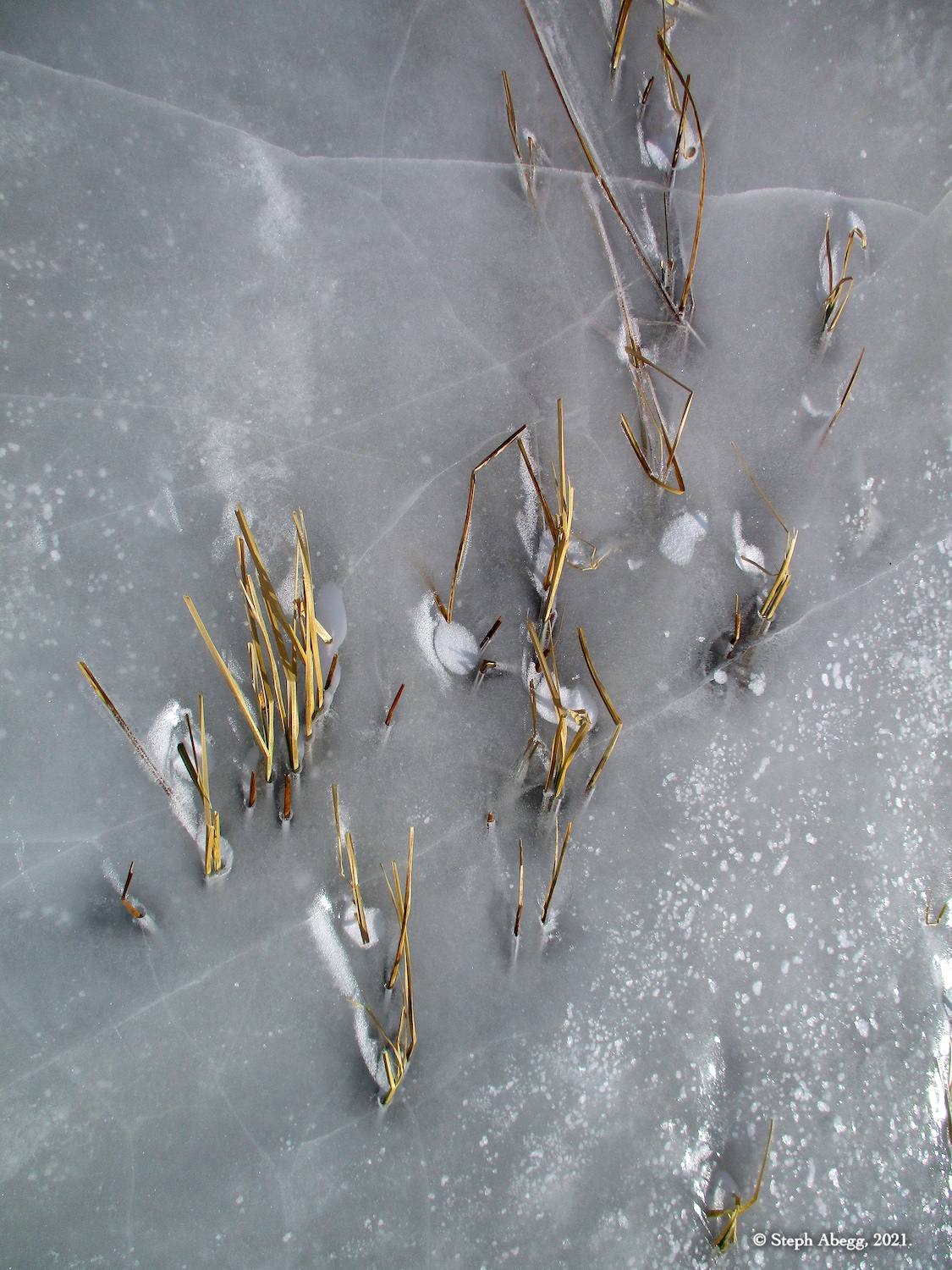
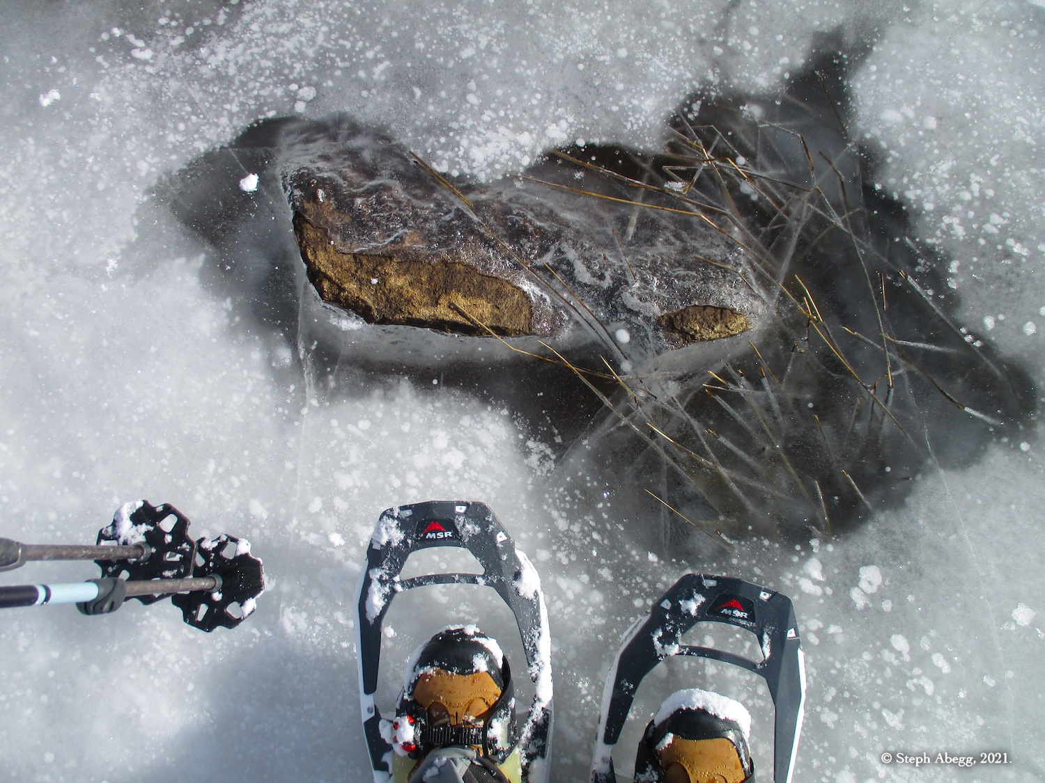
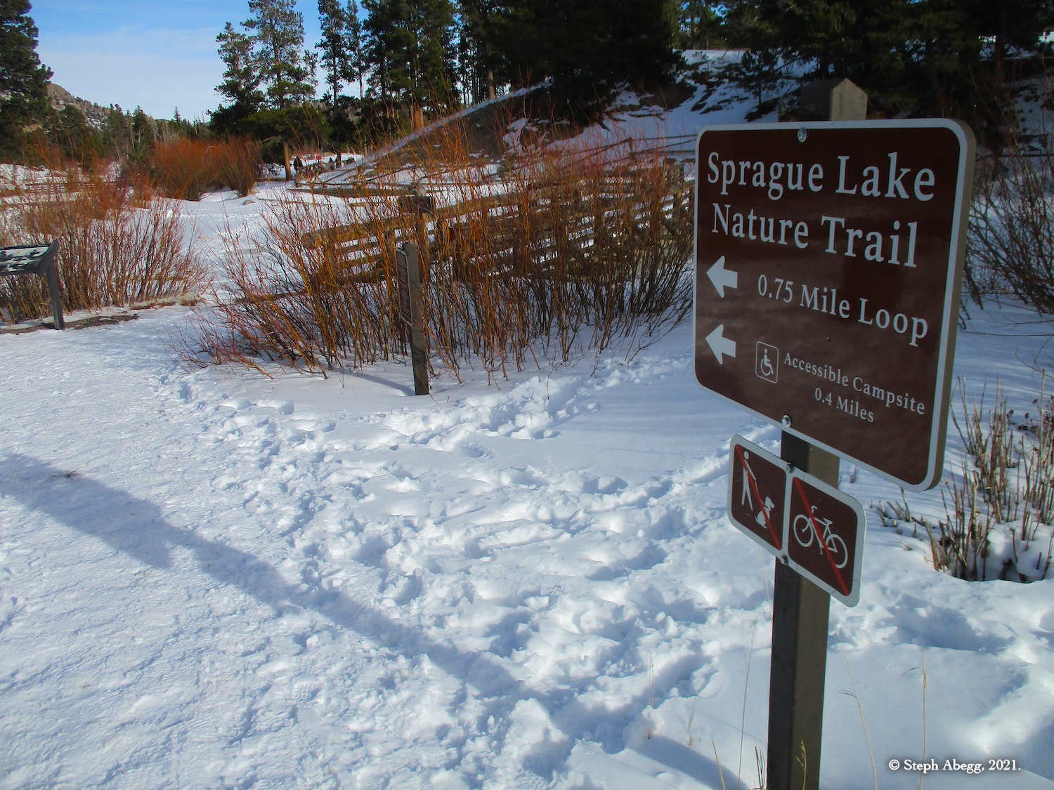
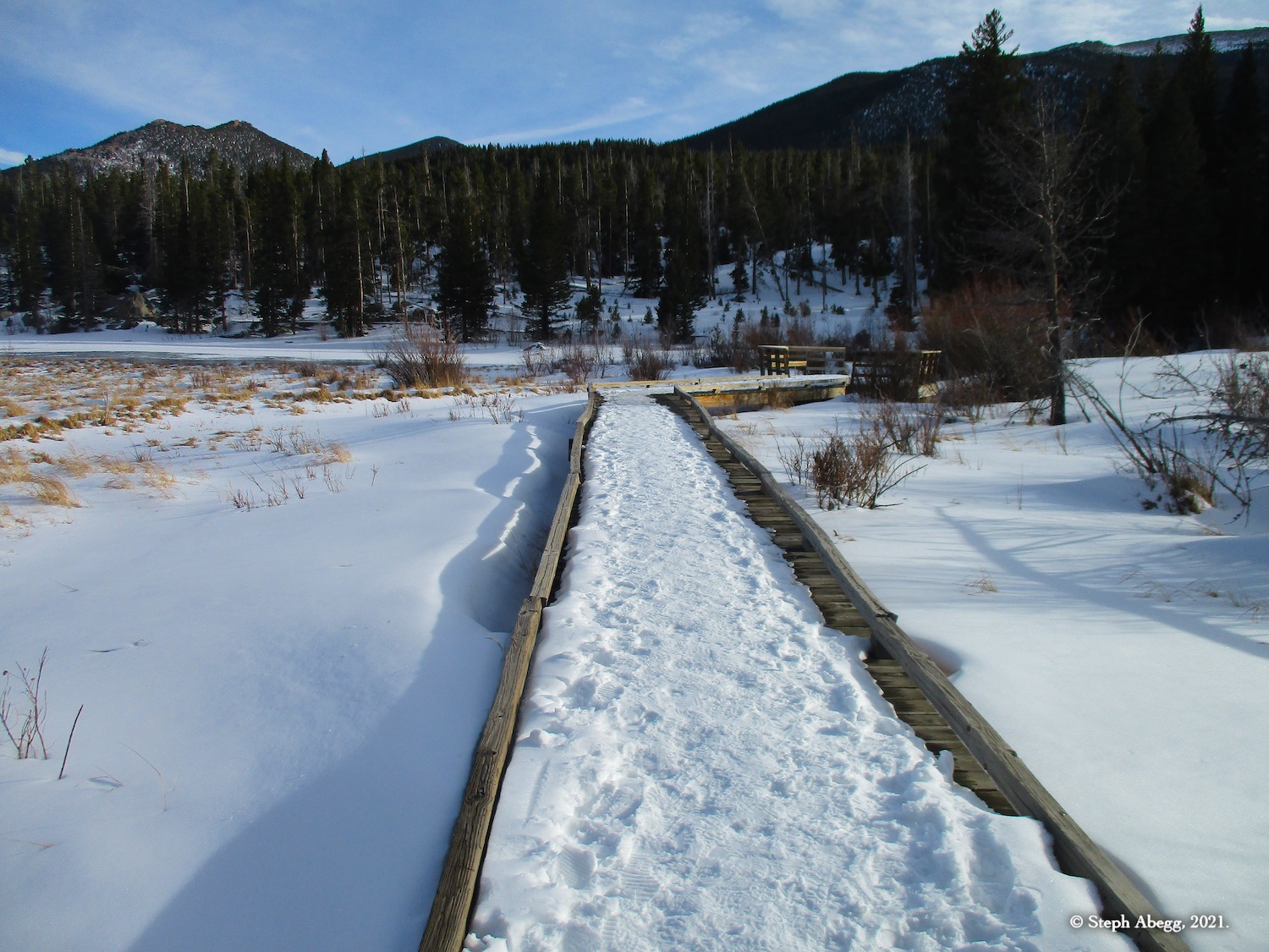
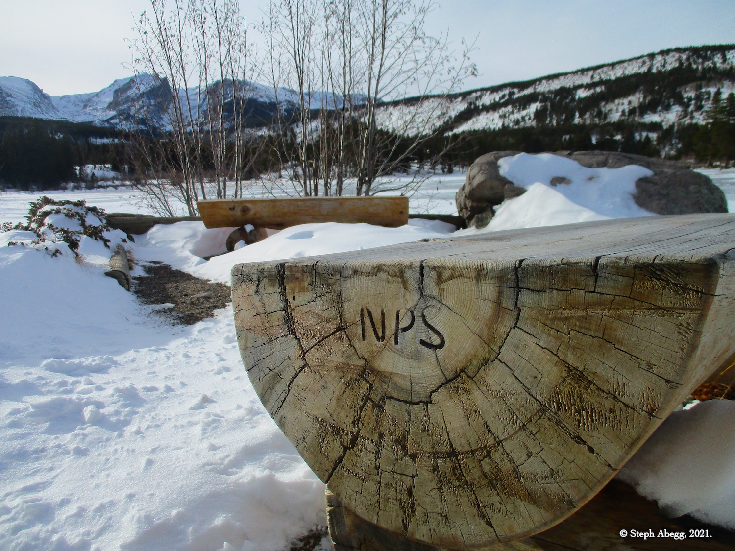
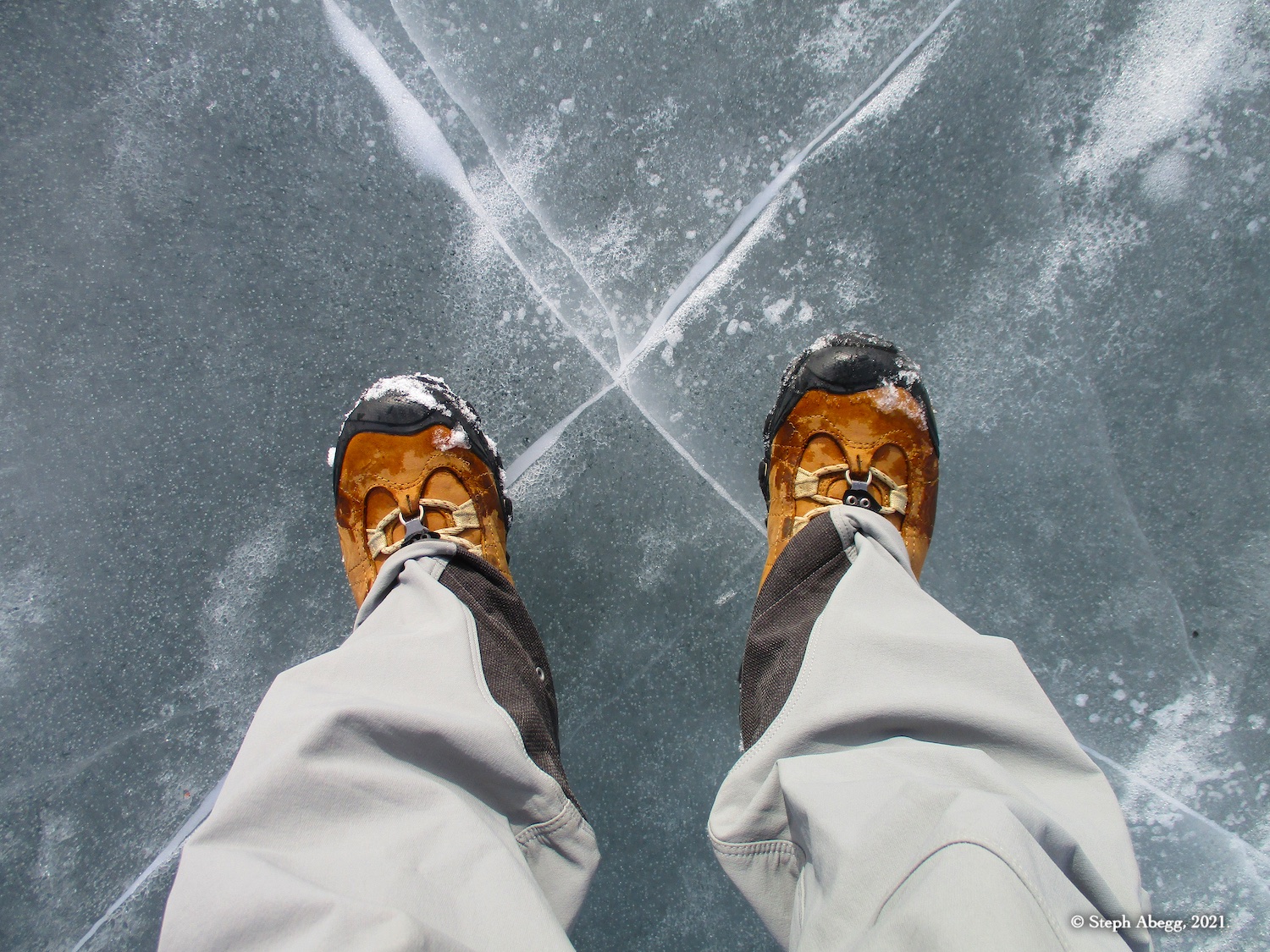
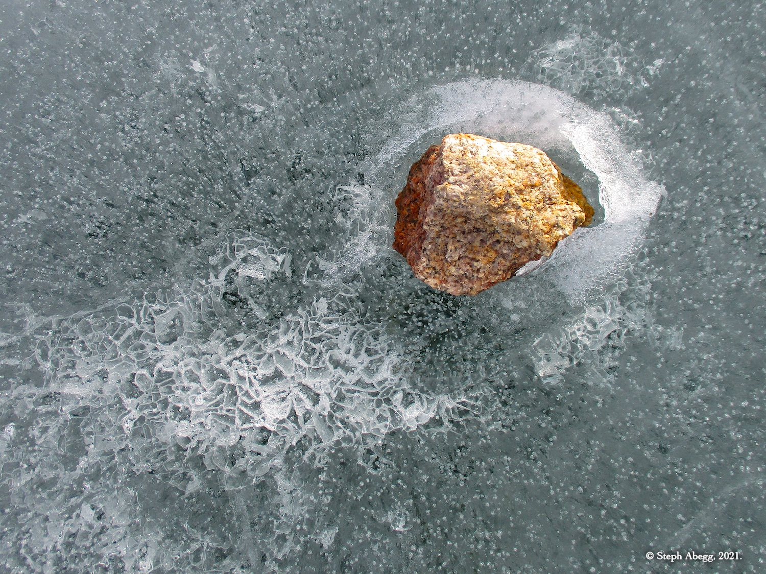
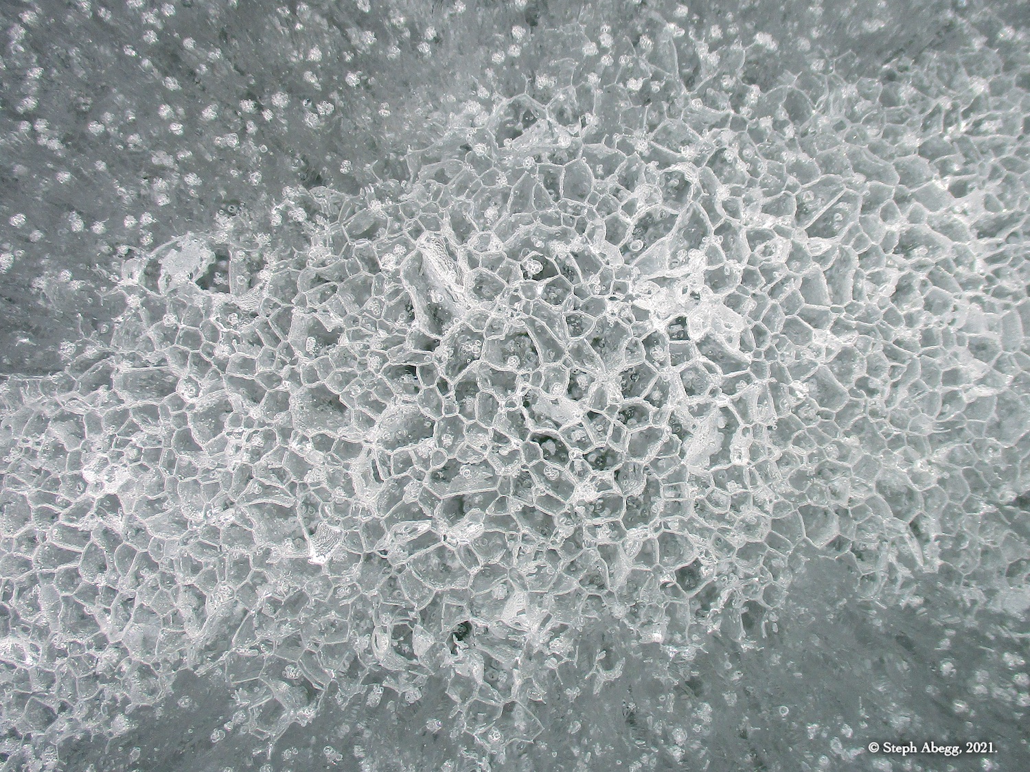
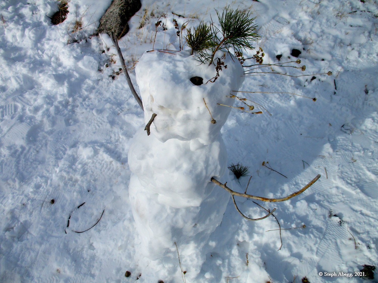
Below is a sampling of photos from my two short snowy hikes.