Second trip to RMNP: Longs Peak, The Diamond, & Spearhead
Routes:
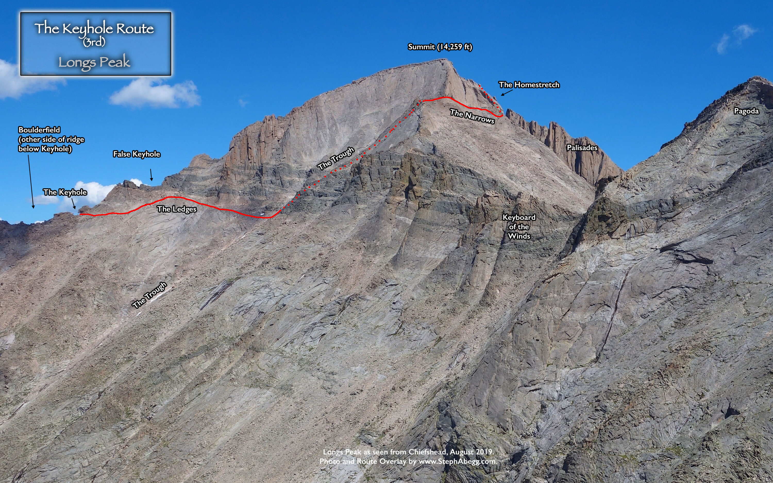
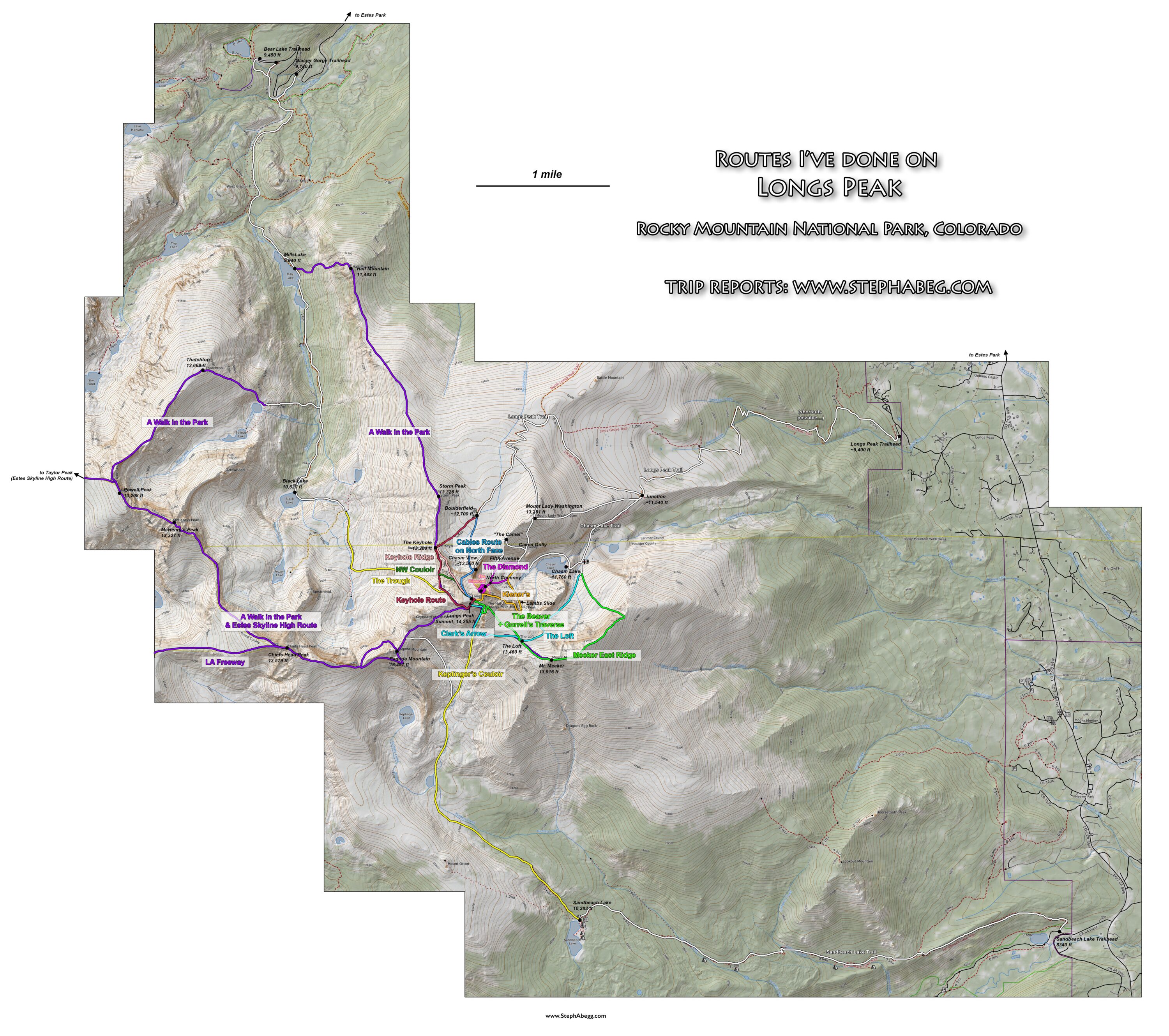
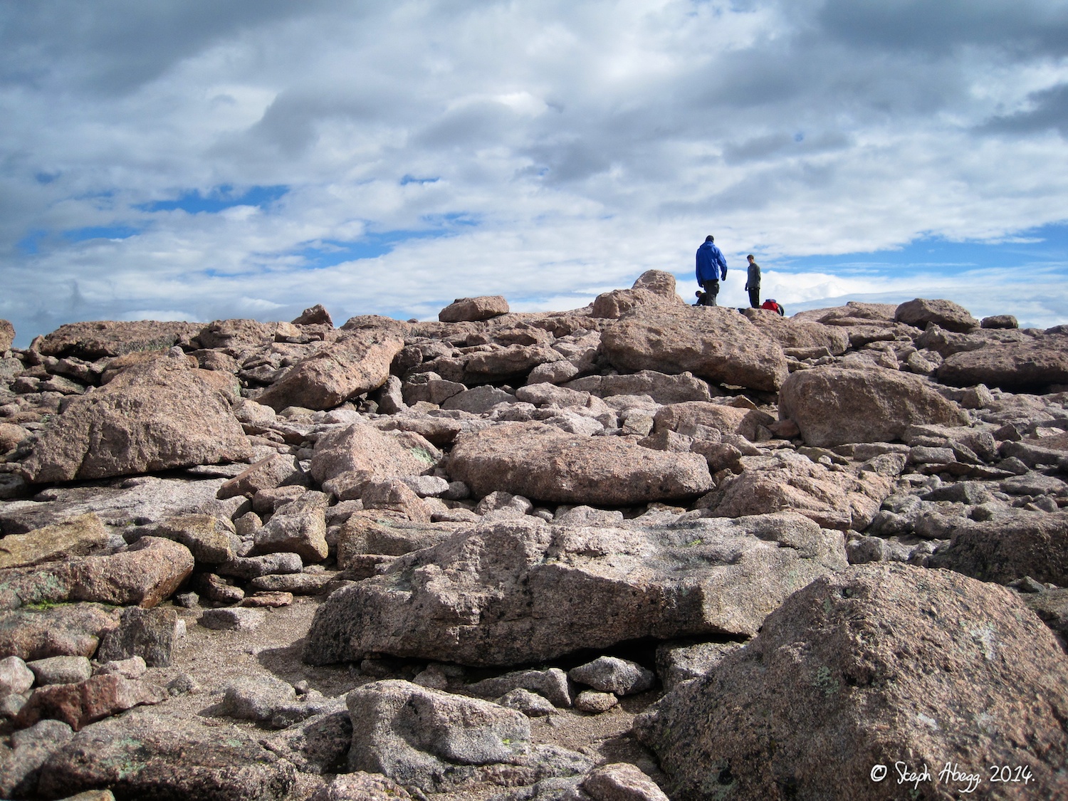
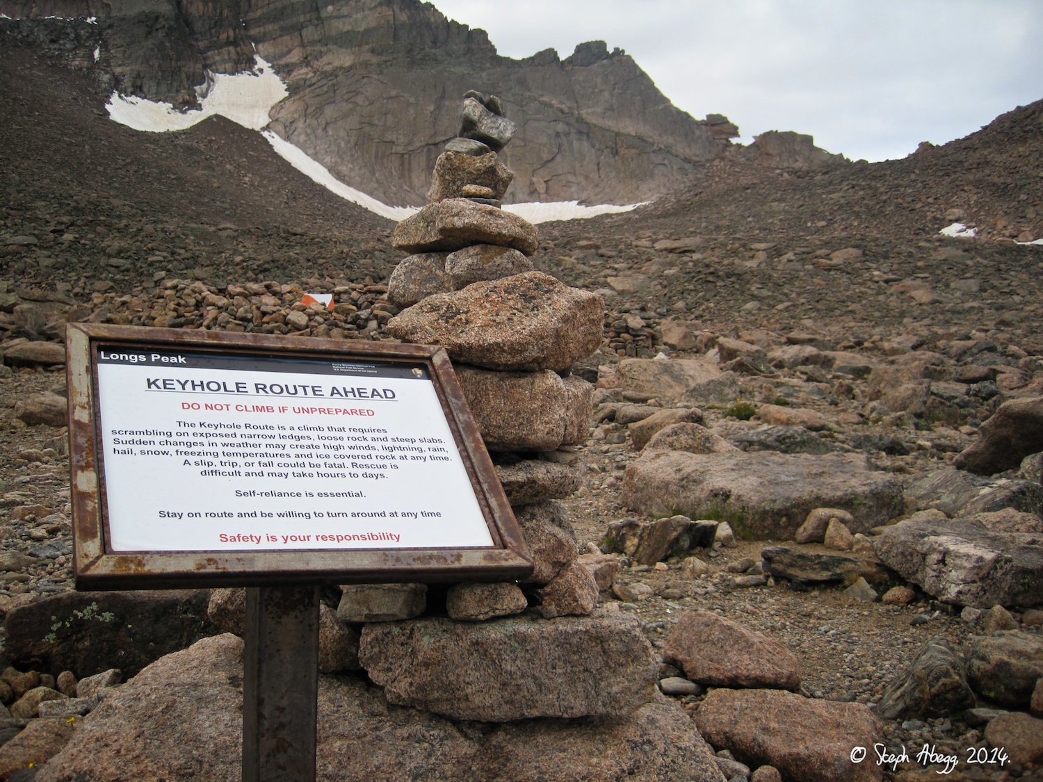
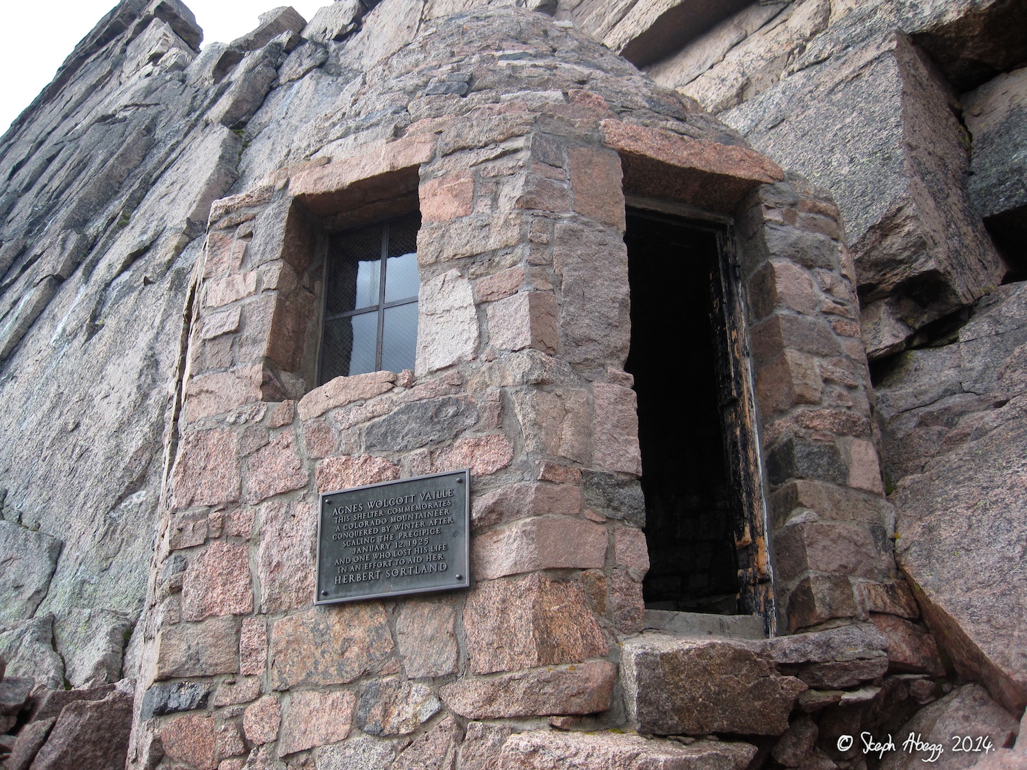
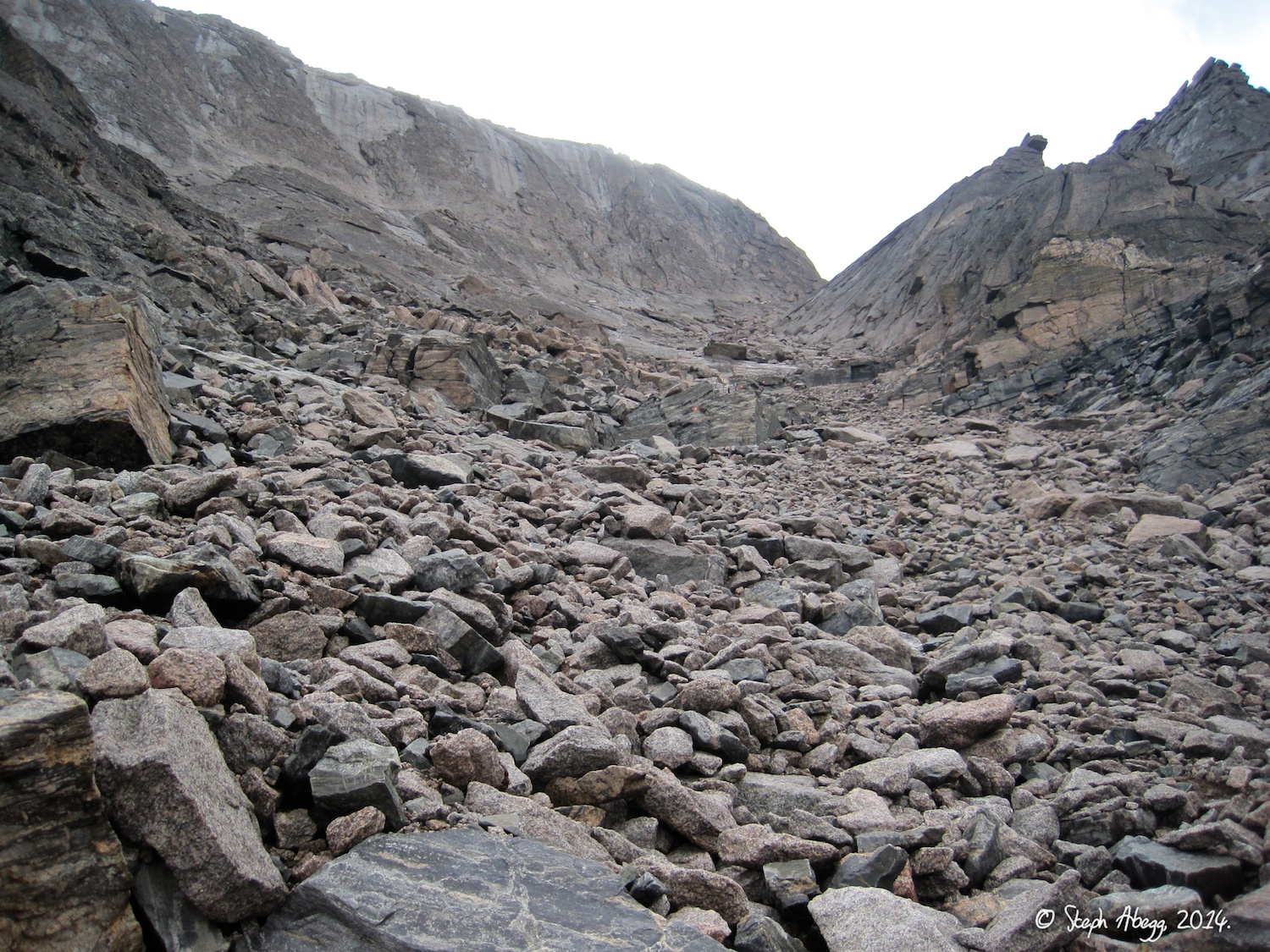
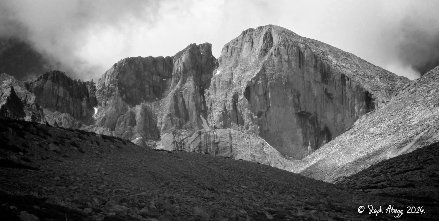
- Longs Peak, Keyhole Route (~14.5 miles, 5100 ft gain, 3rd)
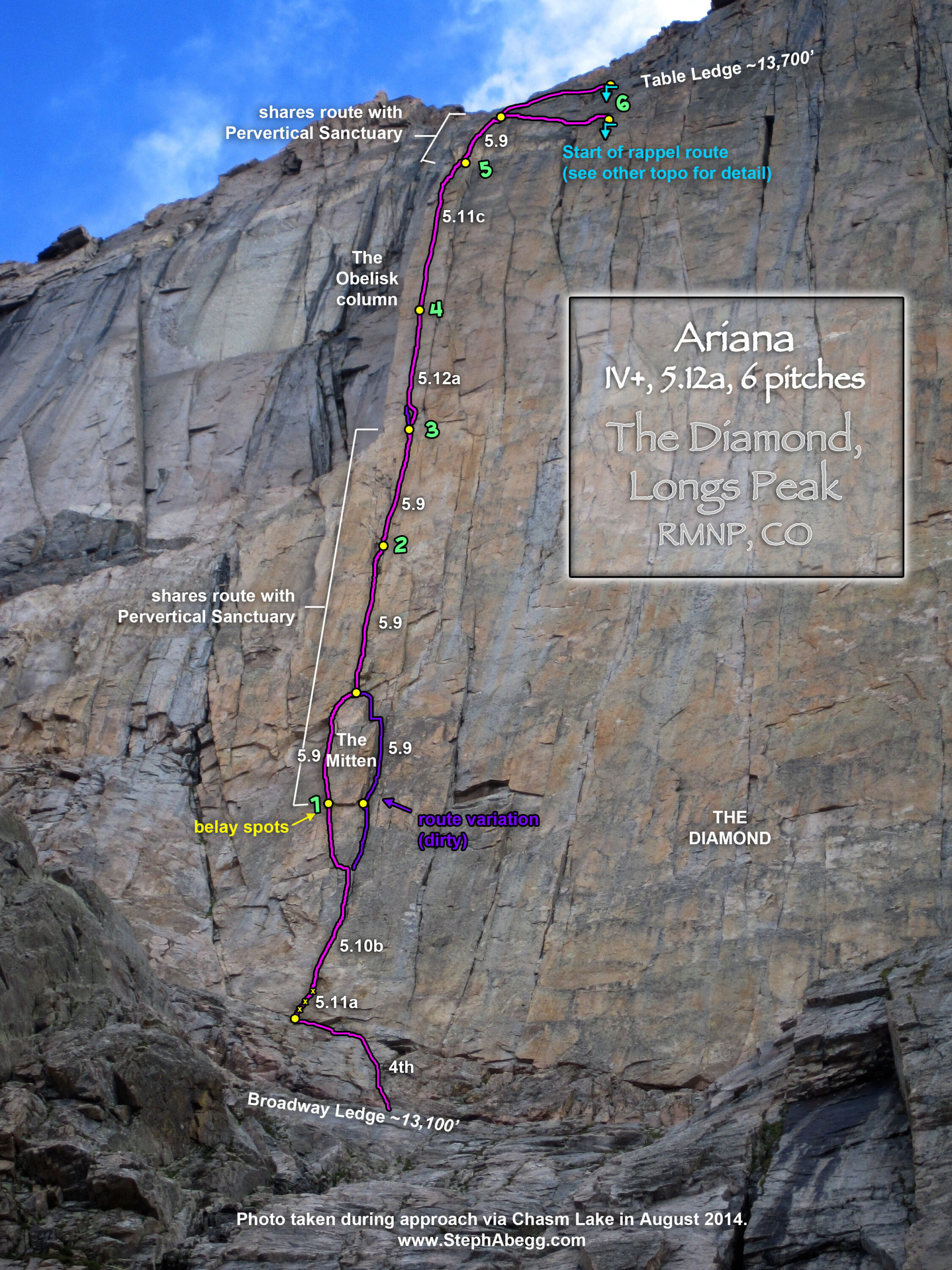
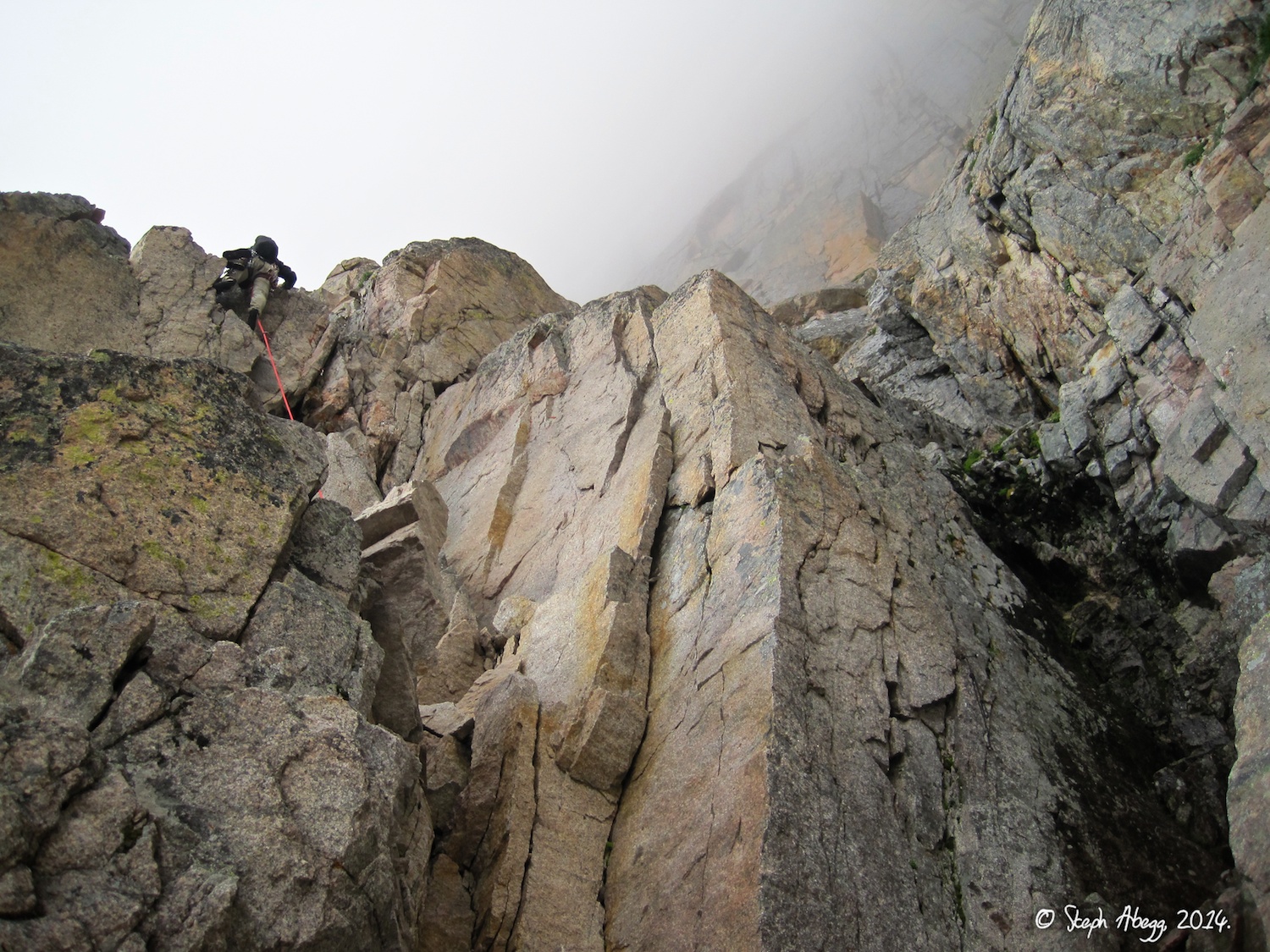
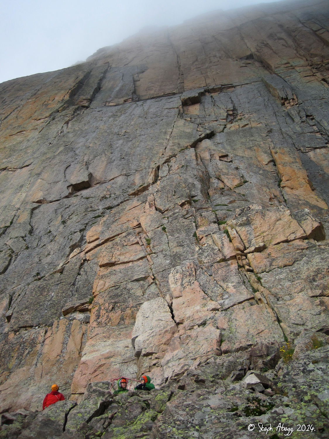
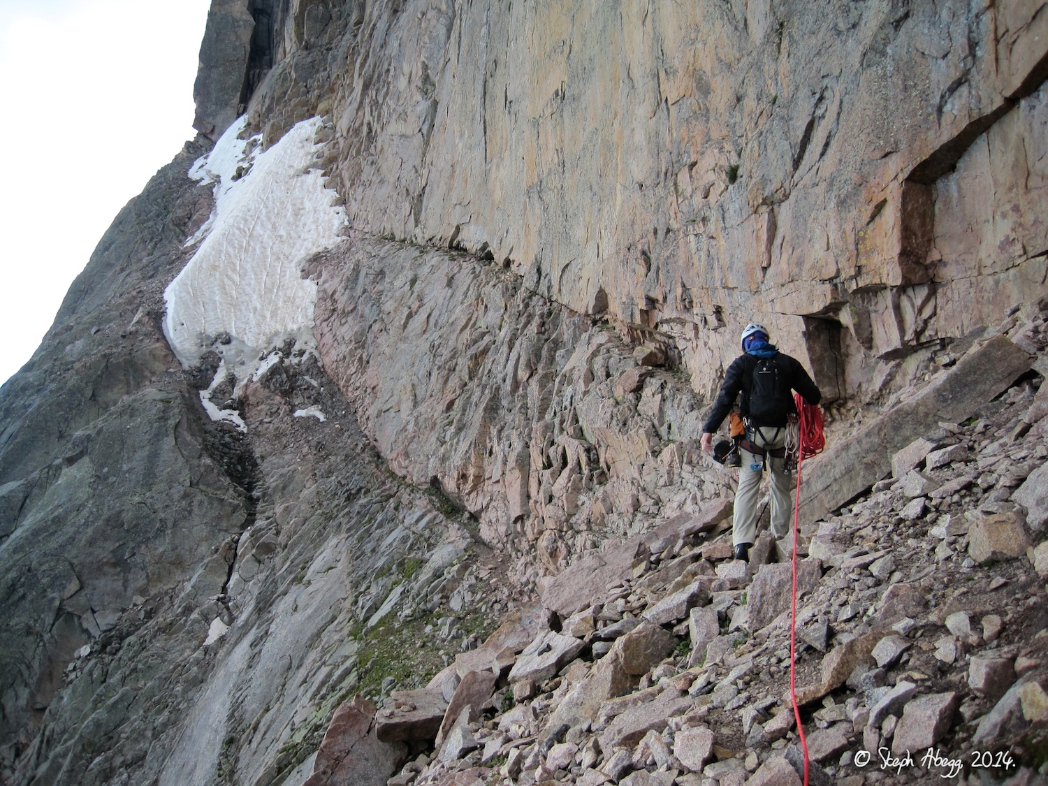
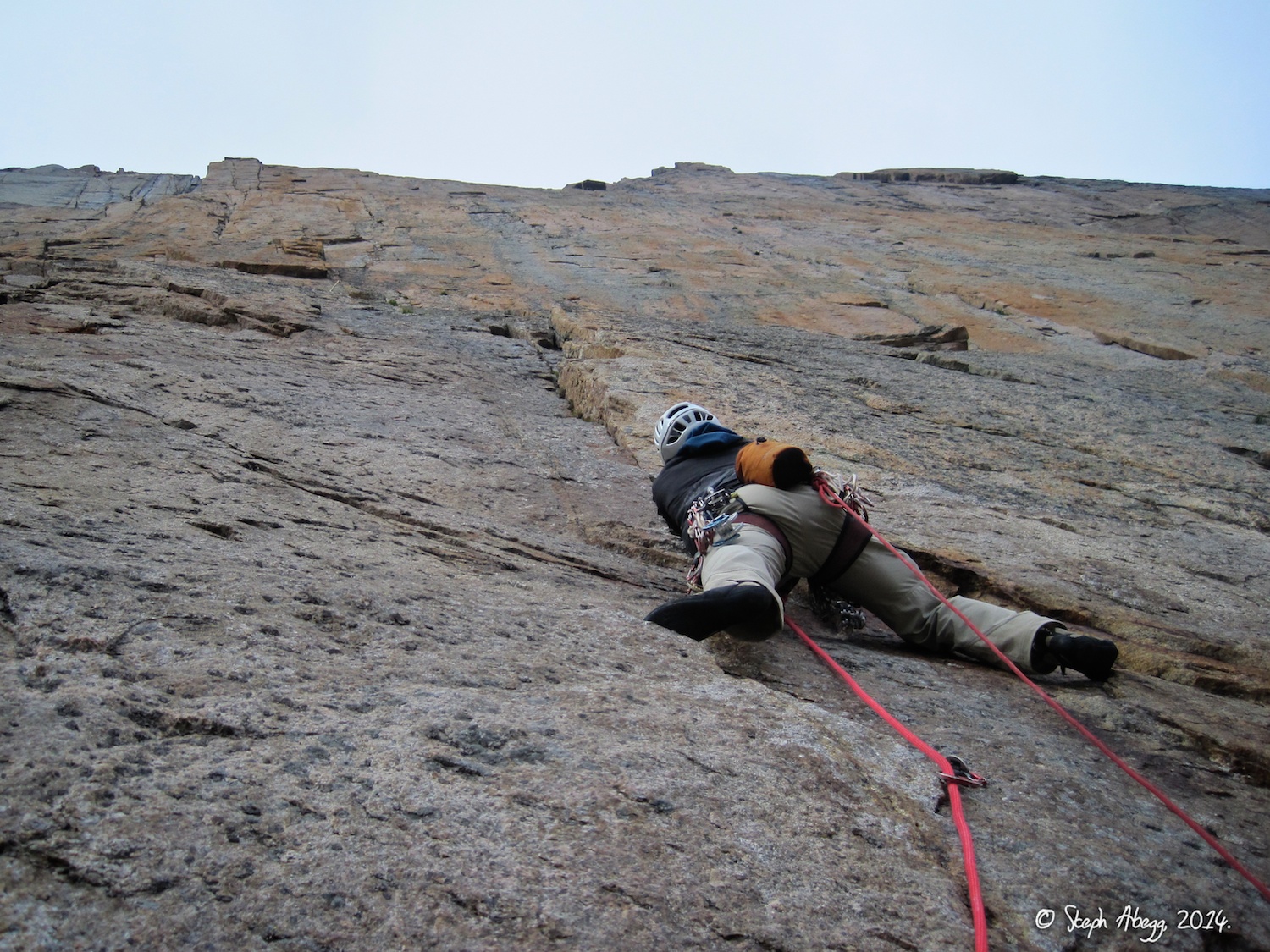
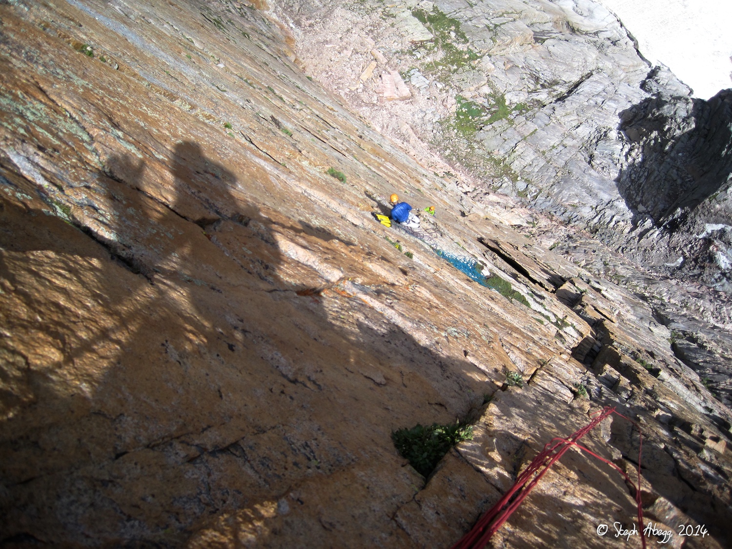
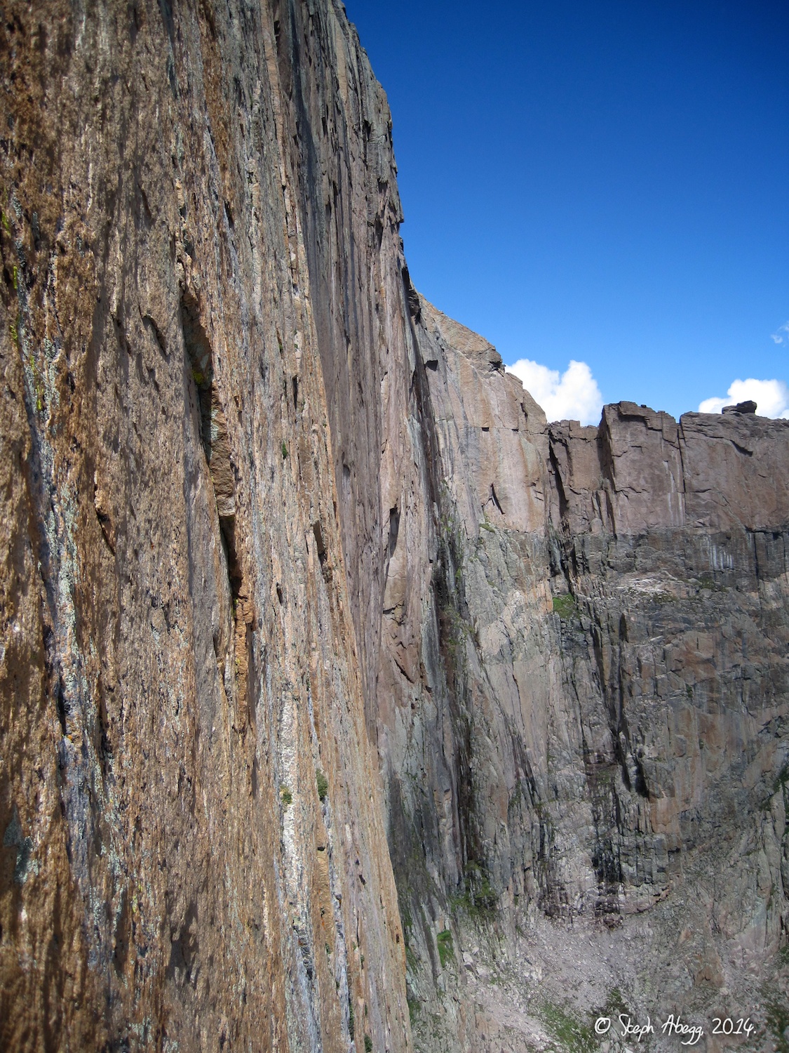
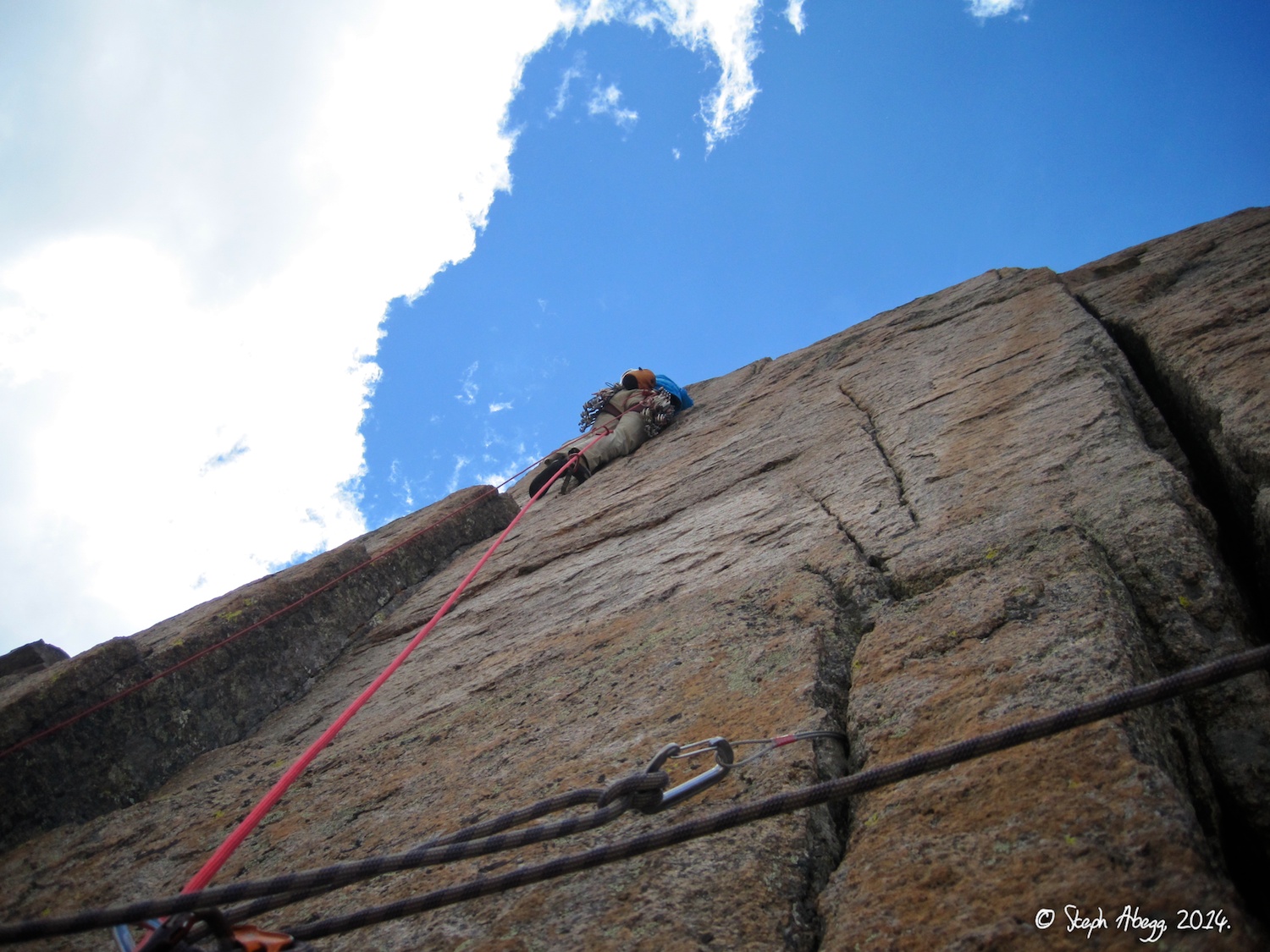
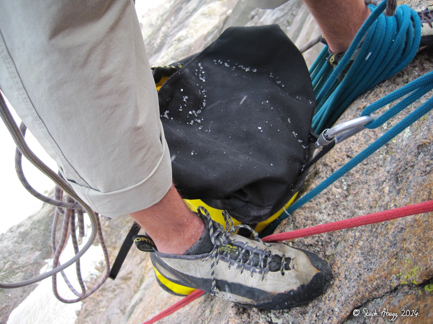
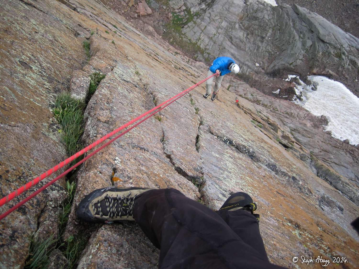
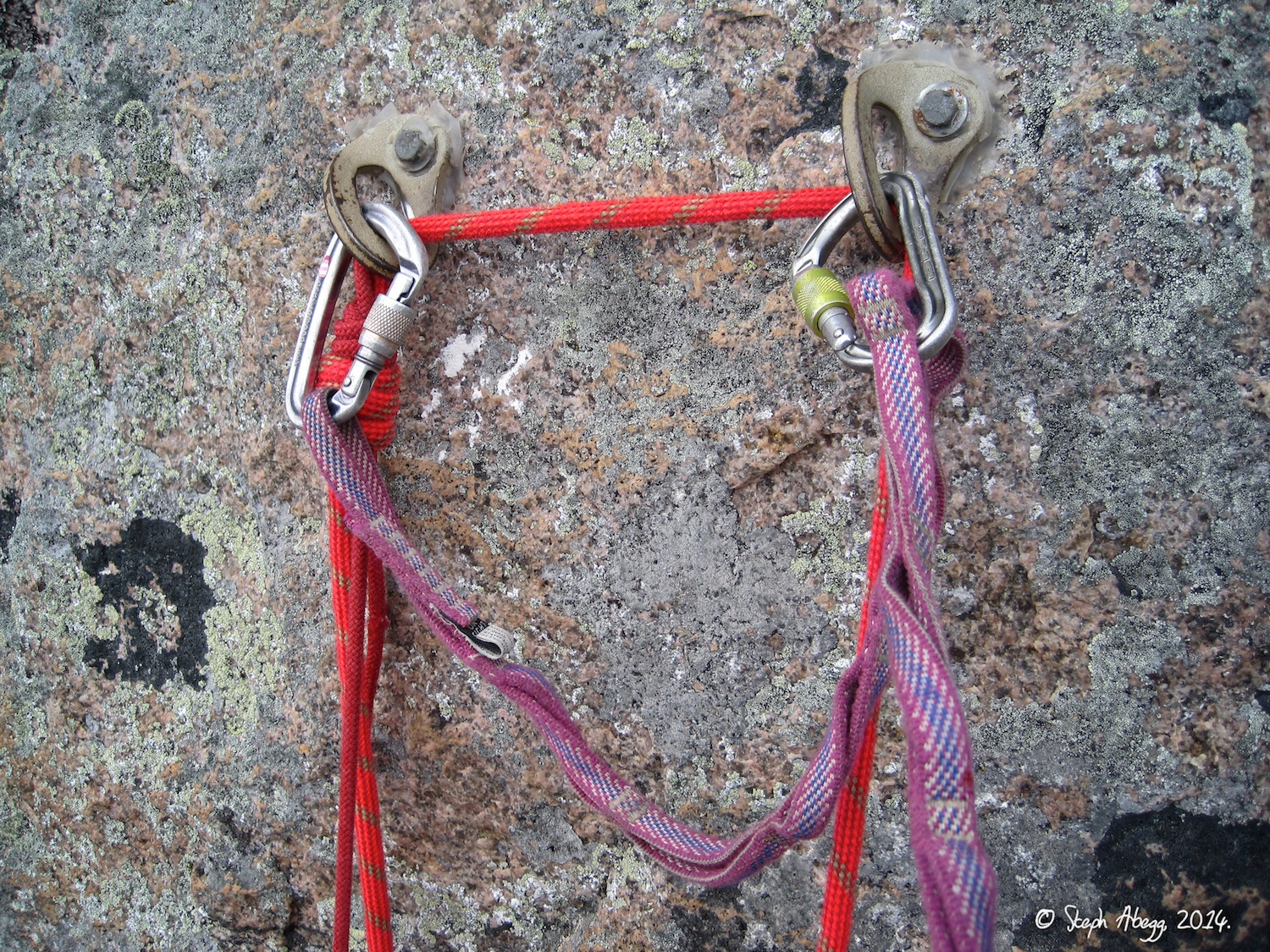
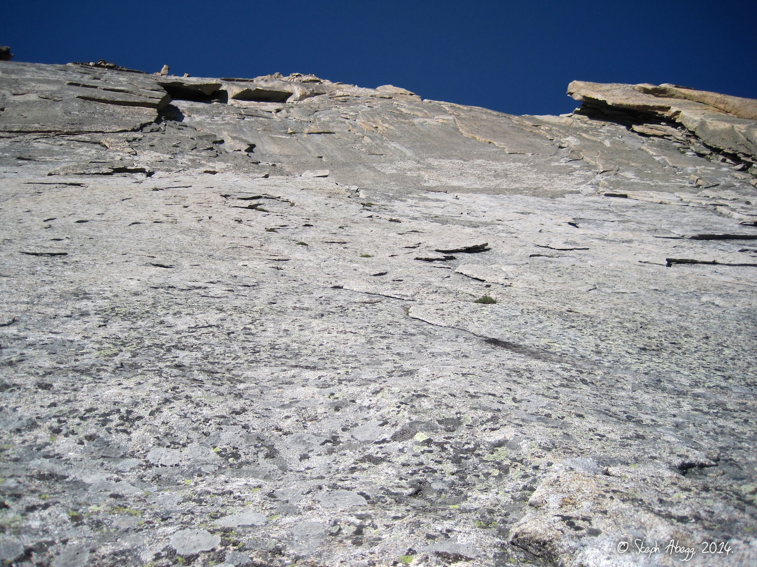
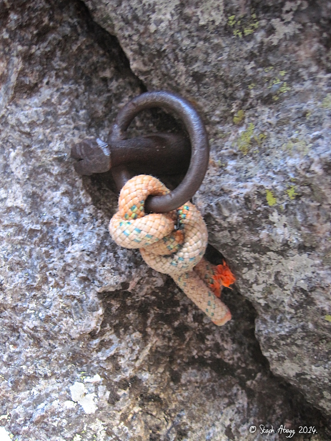
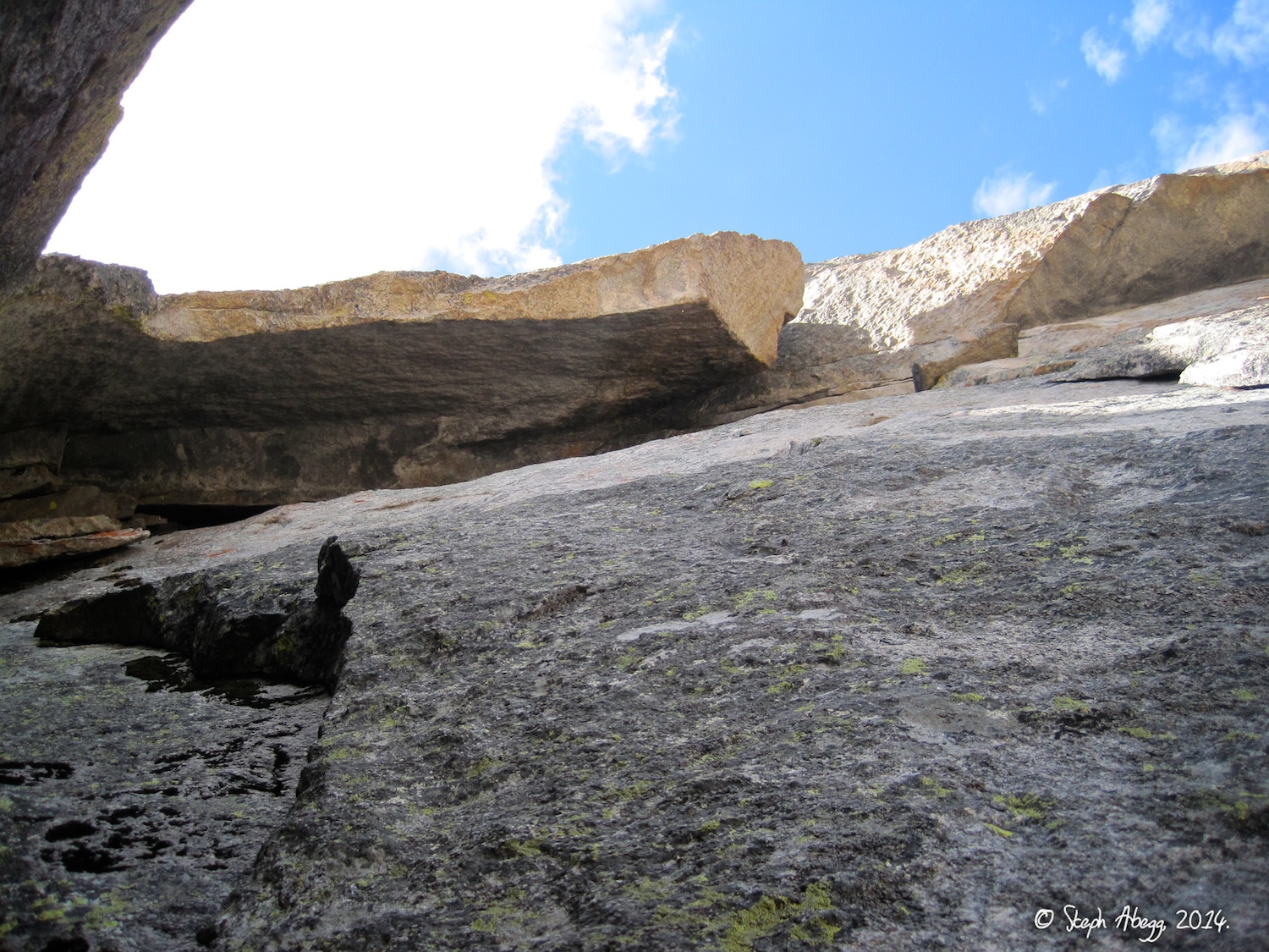
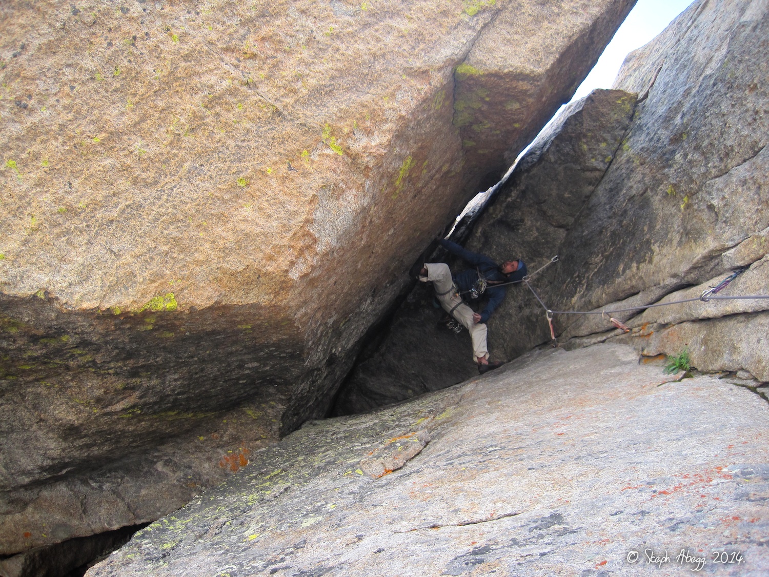
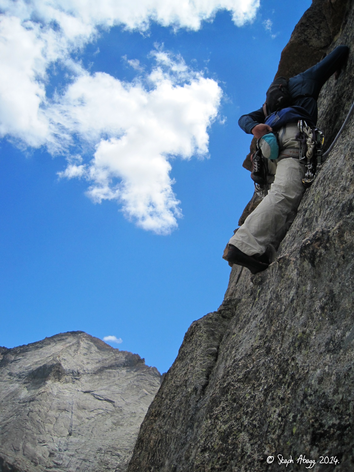
- The Diamond (on Longs Peak), Ariana (5.12a, 6p)
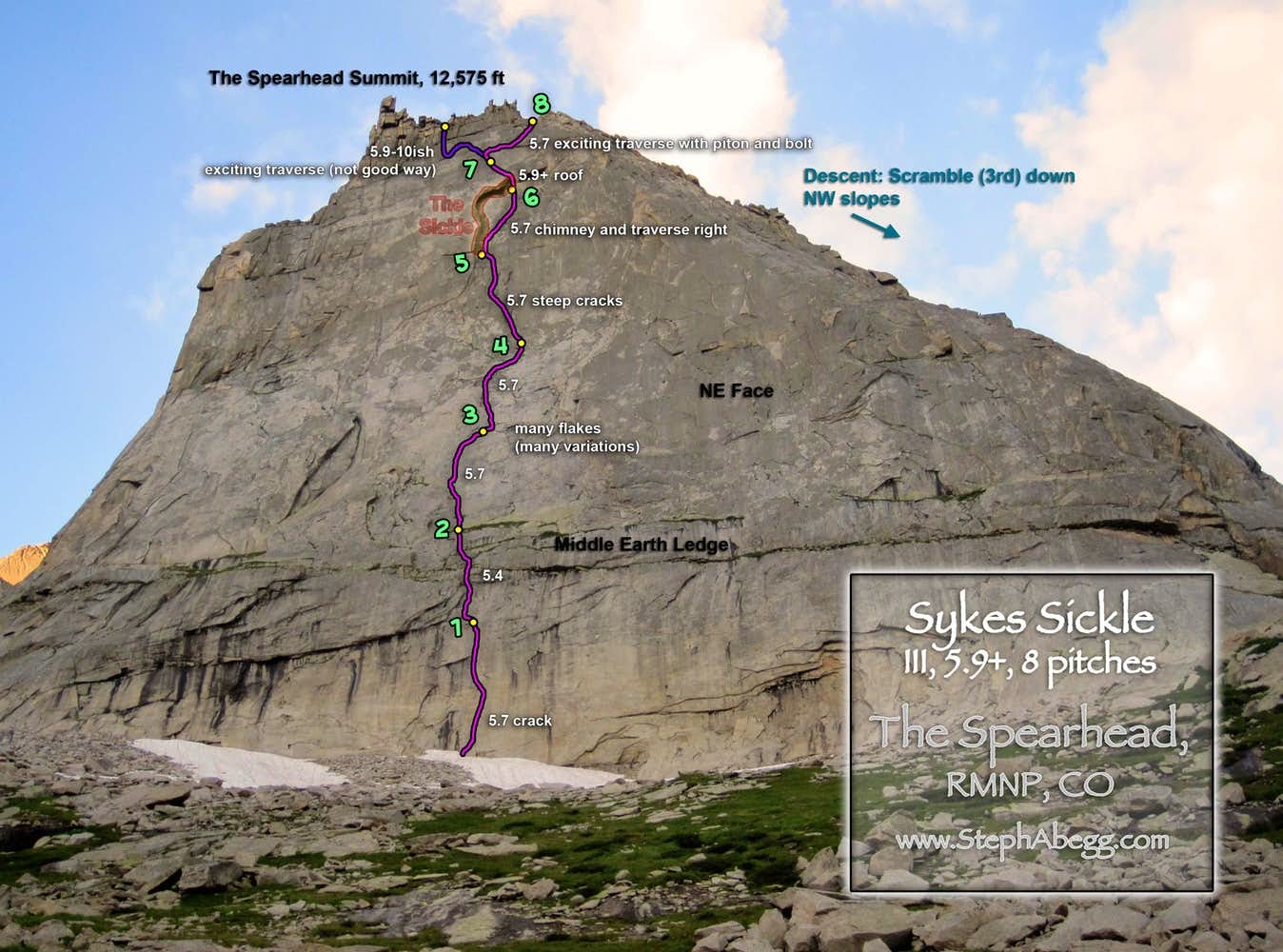
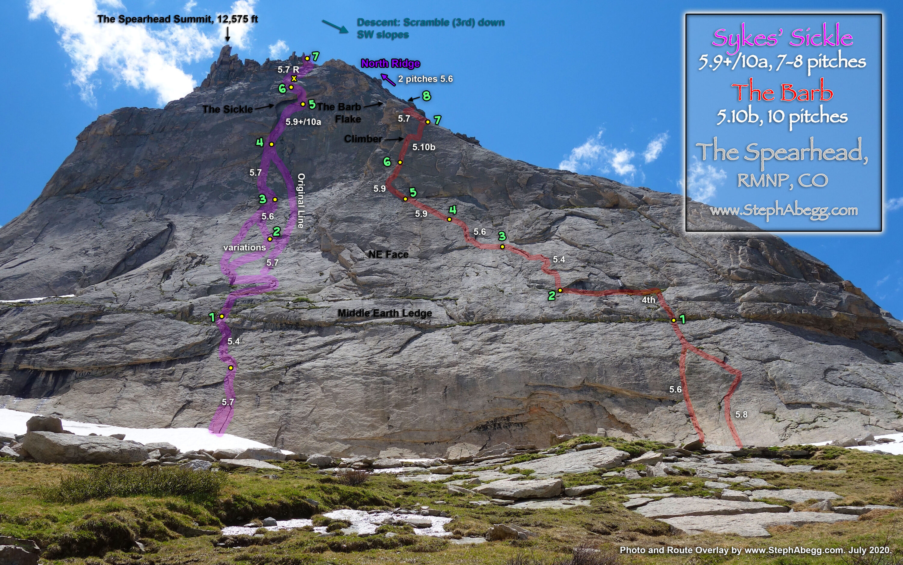
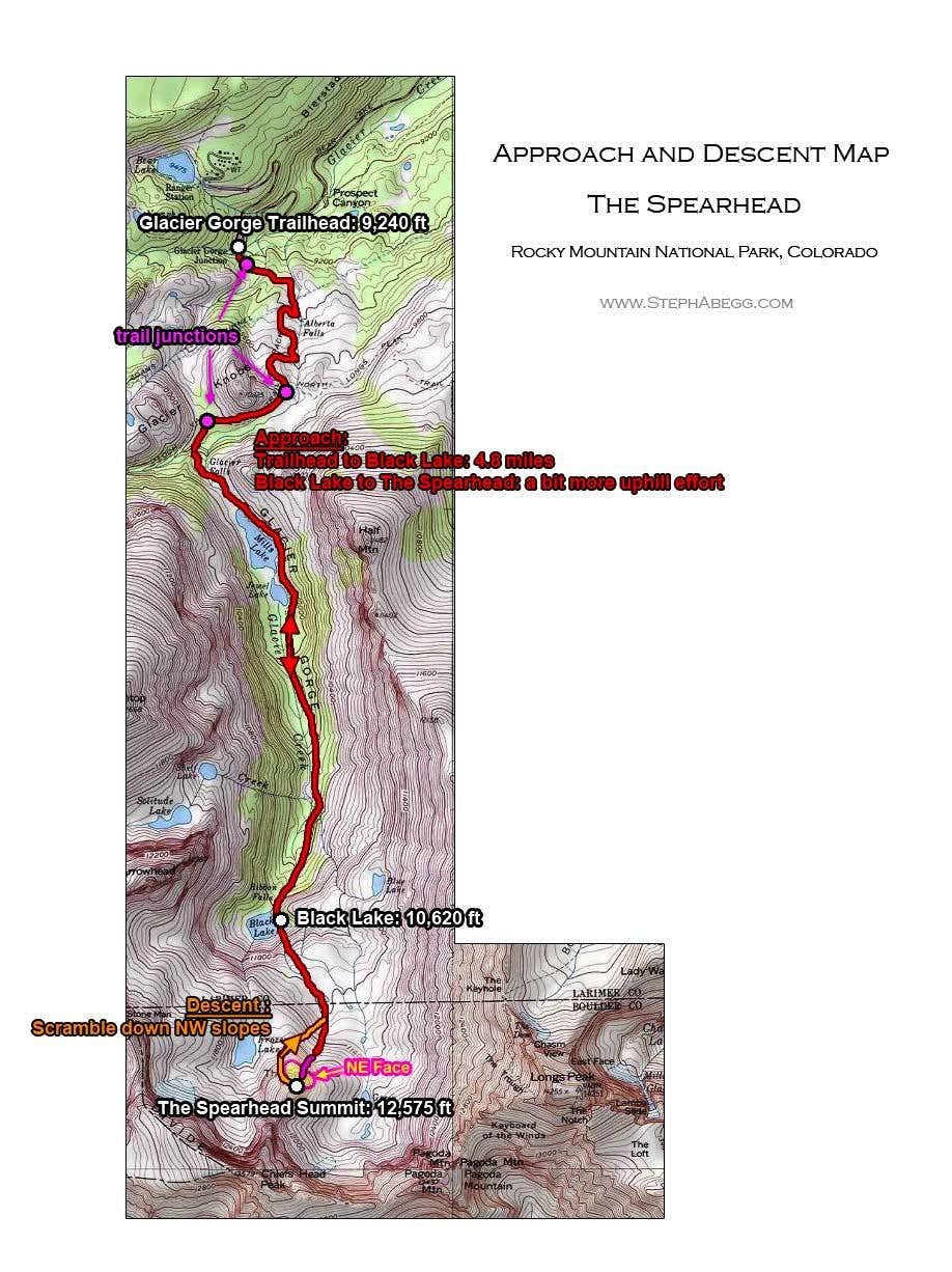
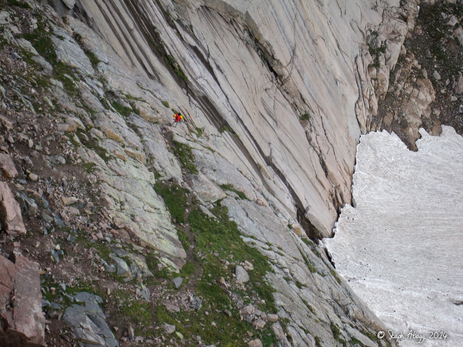
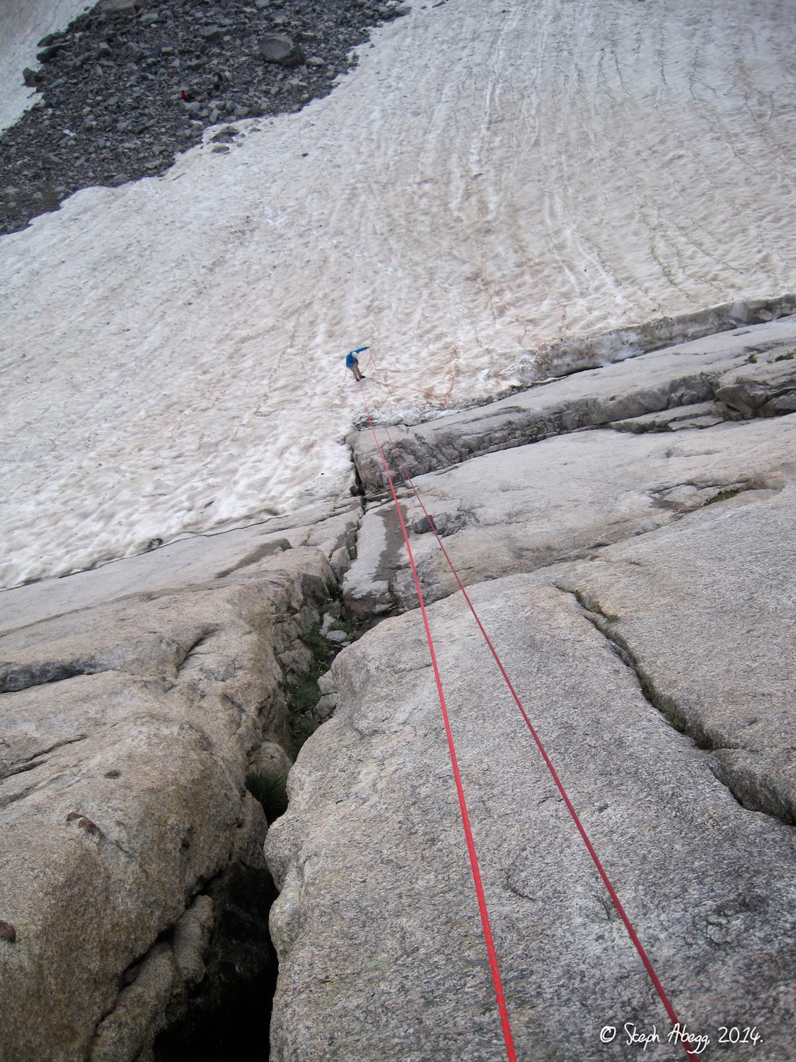
- The Spearhead, Sykes Sickle (5.9+, 8p)
Climbing three popular RMNP objectives: Longs Peak, The Diamond, and The Spearhead.
This was my first trip to RMNP. I moved to Boulder in June 2019, and RMNP became my alpine playground!
The trip reports on this page represent the 1st time I visited the summit of Longs Peak and the 1st time I climbed the Diamond.
Region: Colorado
Elev: 14,255 ft (Longs); 13,700 ft (Table Ledge at top of Ariana); 12,575 ft (Spearhead)
Rock: Granite
Mode:


Trip Report 1:
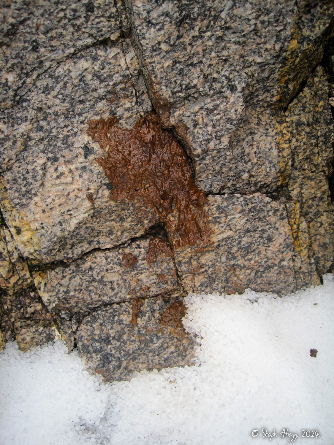
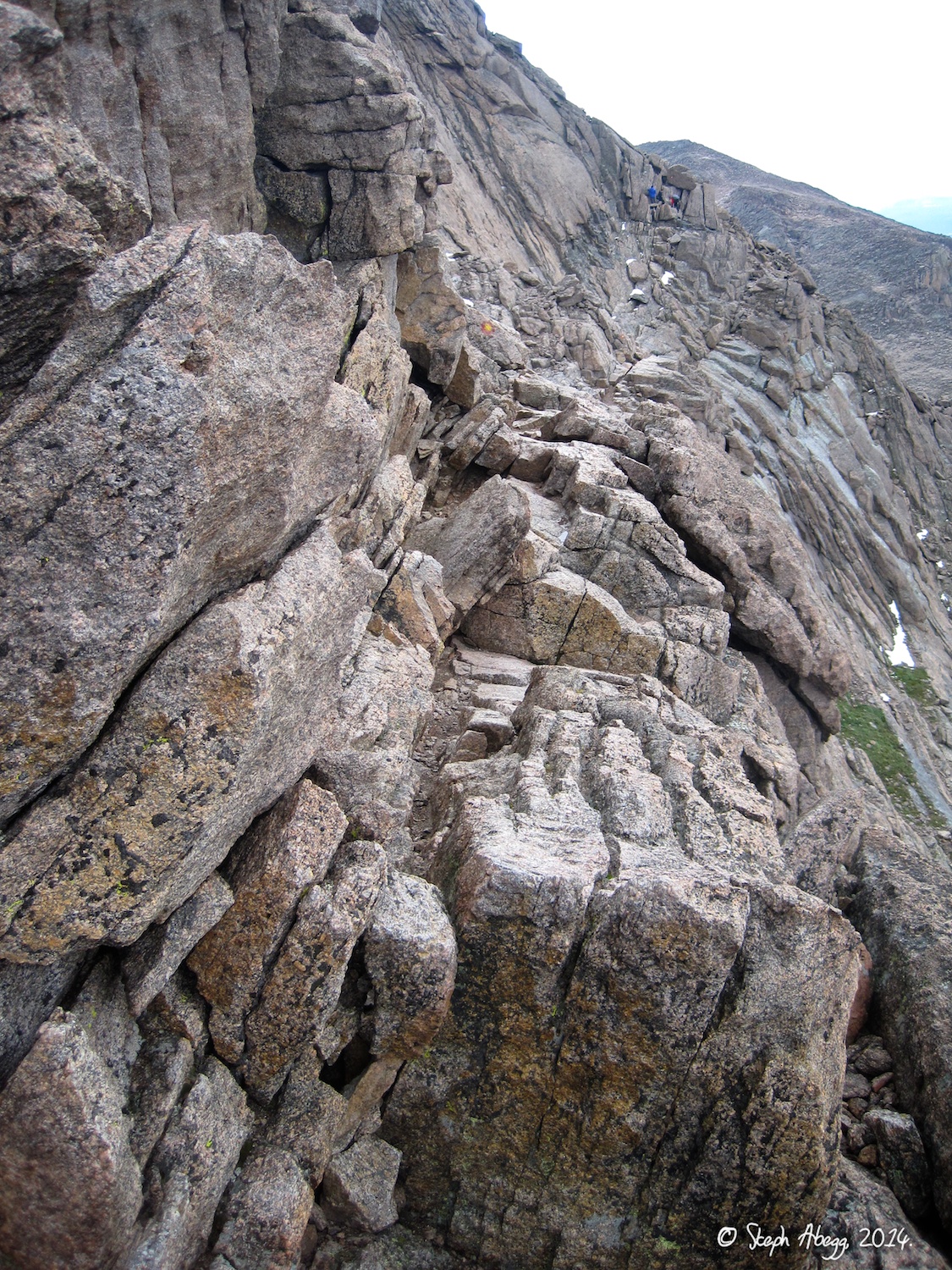
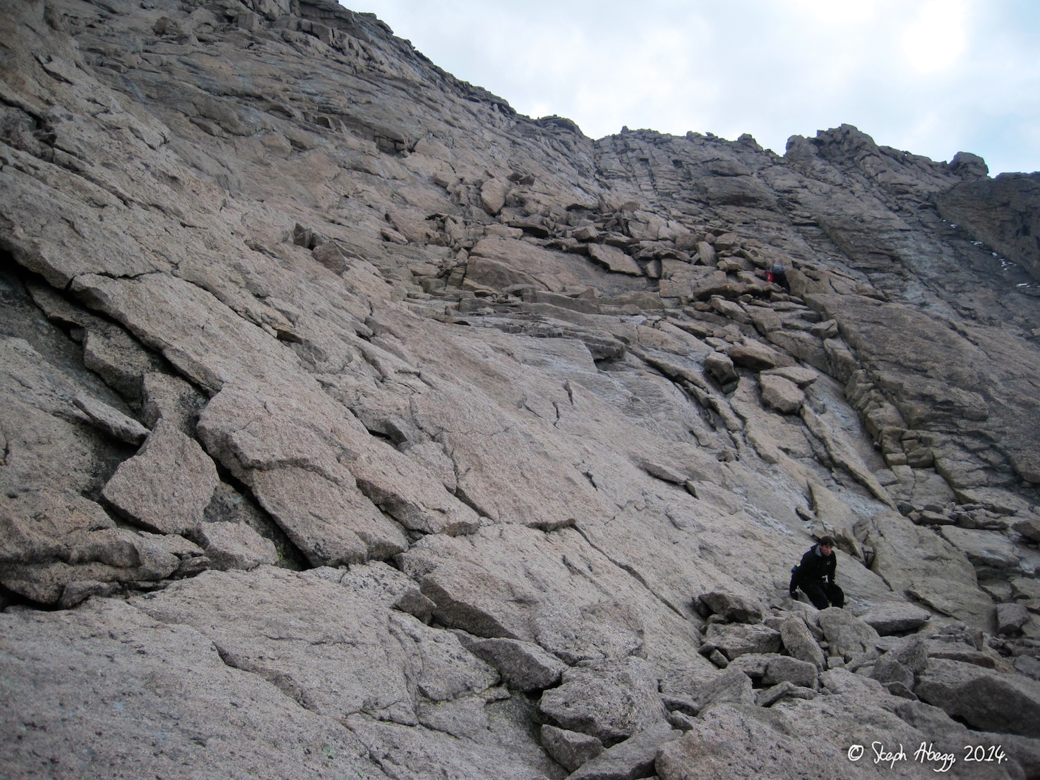
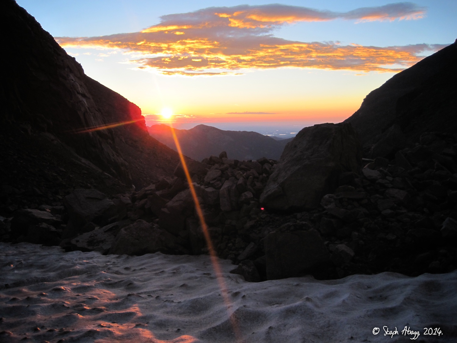
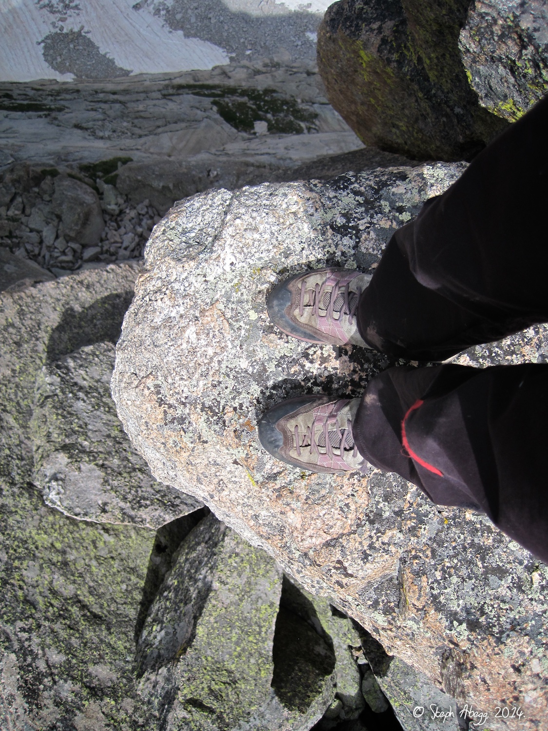
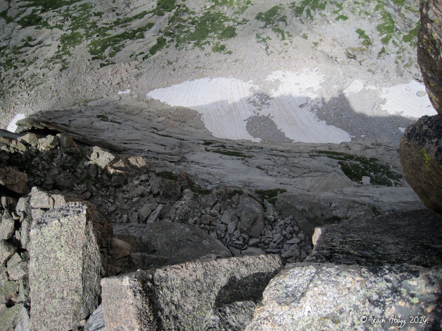
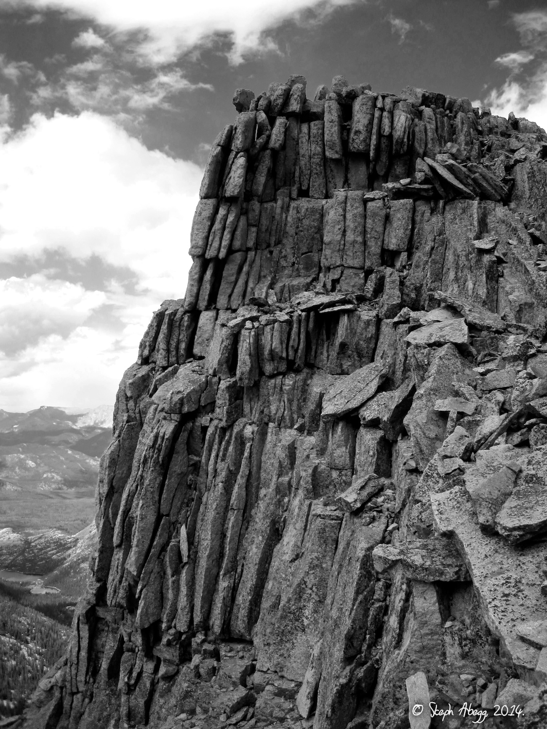
Longs Peak, Keyhole Route
Date(s): August 5, 2014 (Tue)
Partner(s): solo
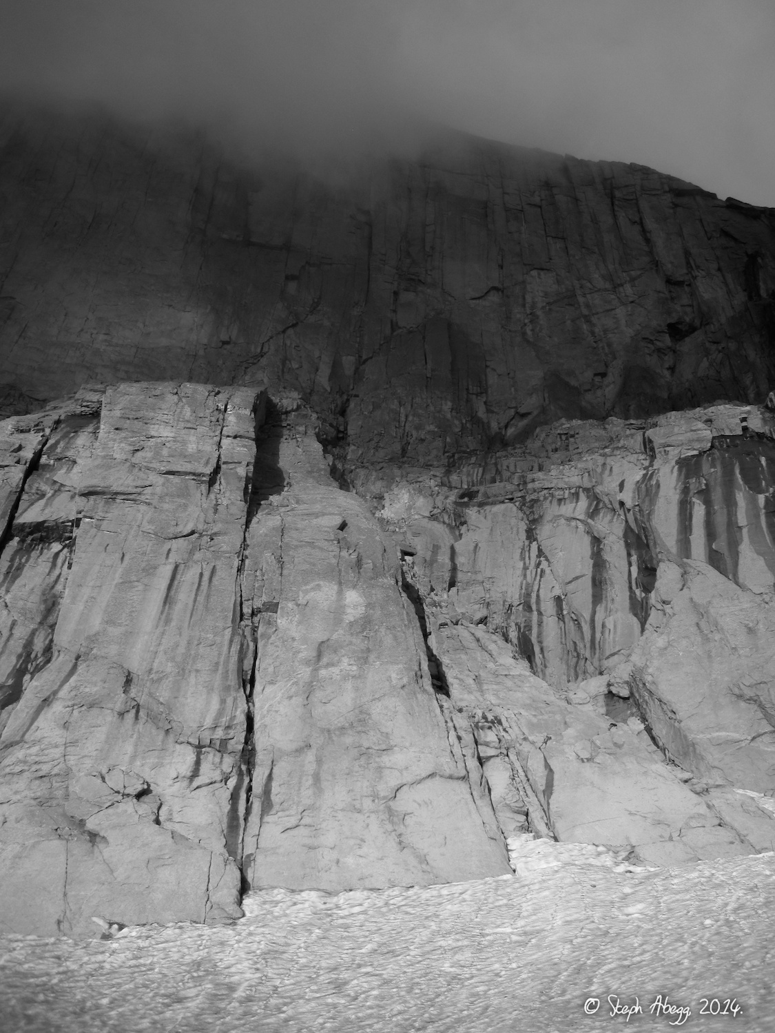
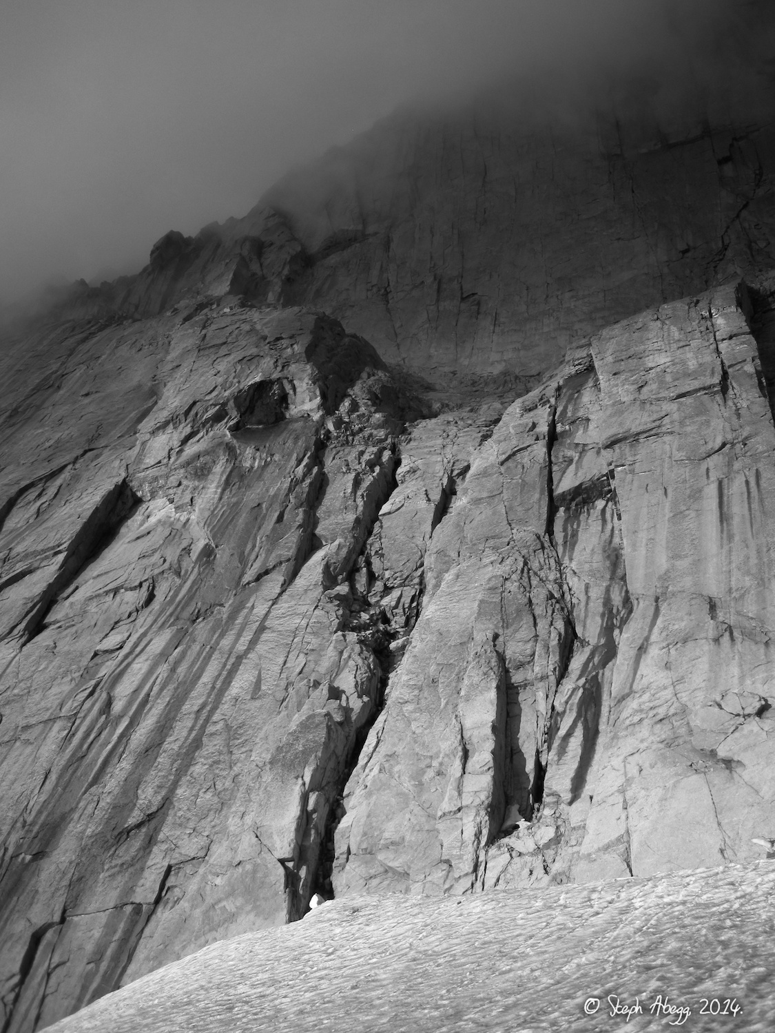
Trip Report 2:
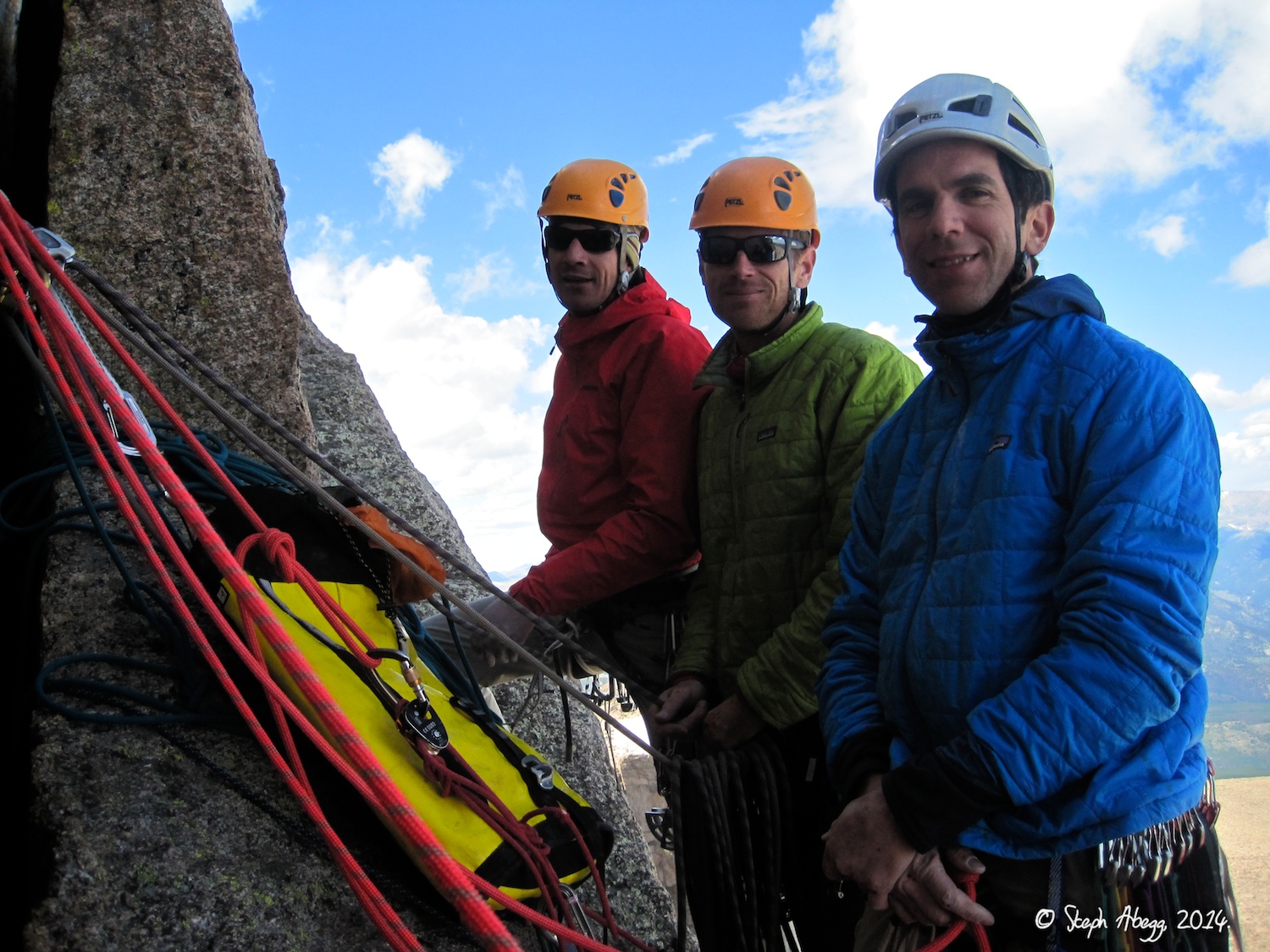
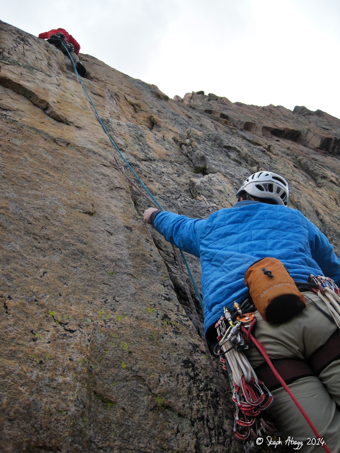
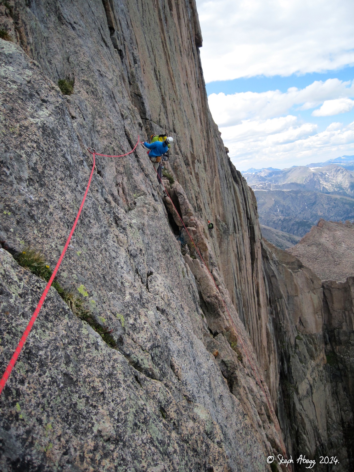
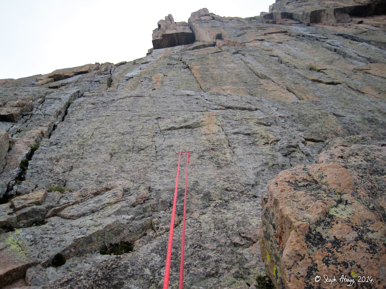
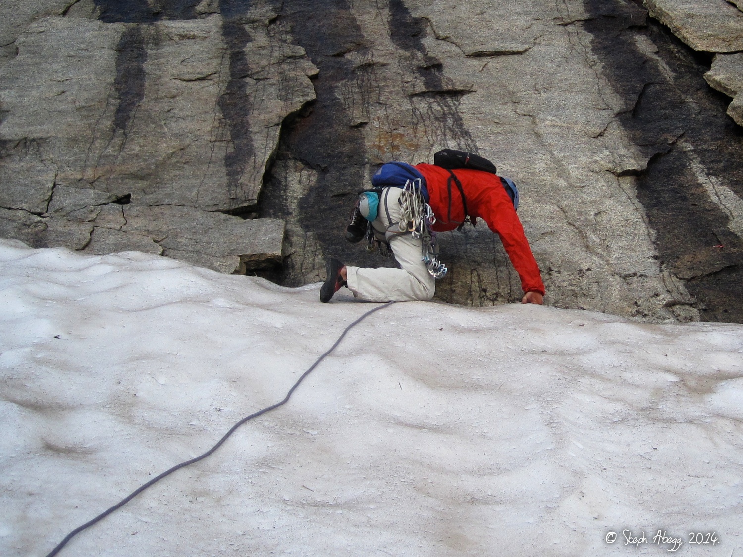
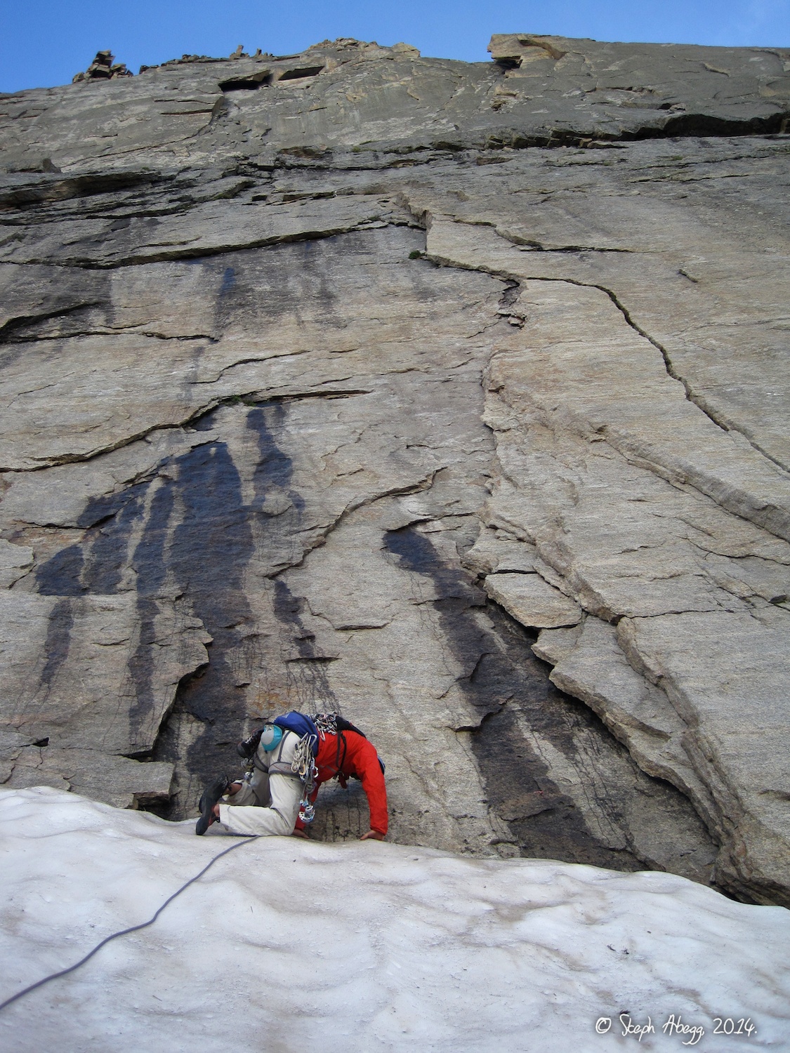
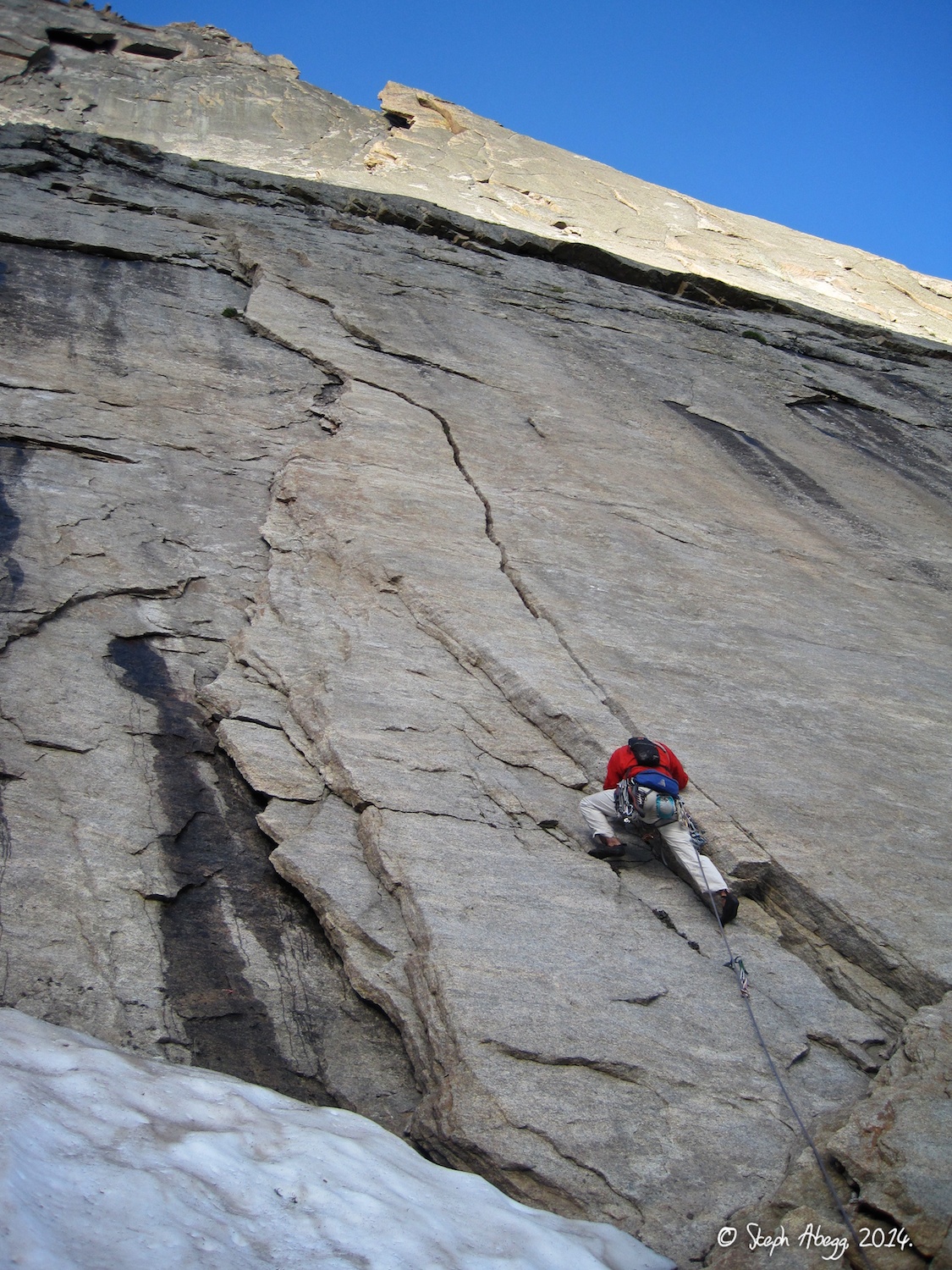
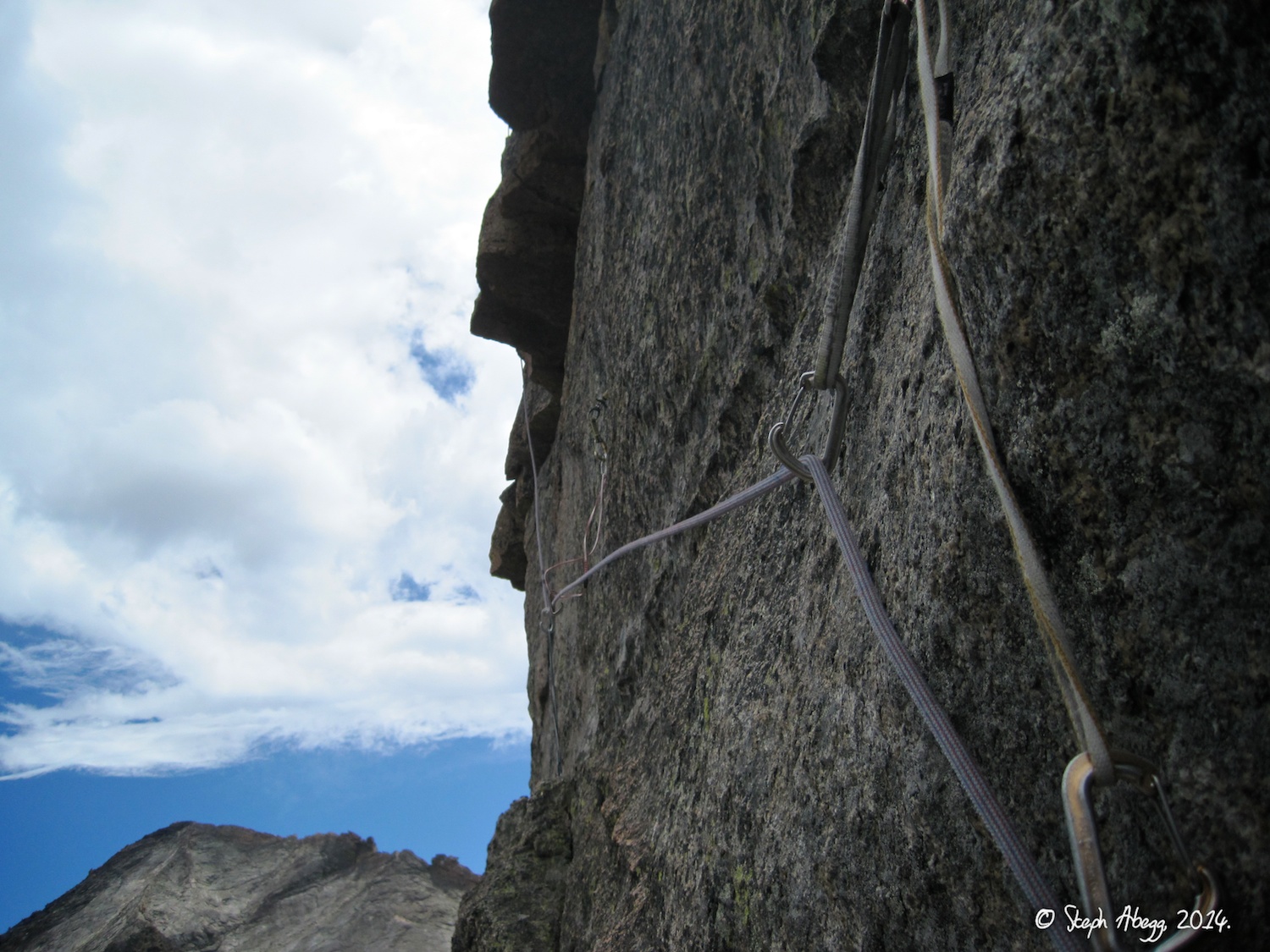
The Diamond, Ariana
Date(s): August 6, 2014 (Tue)
Partner(s): Nate Beckwith
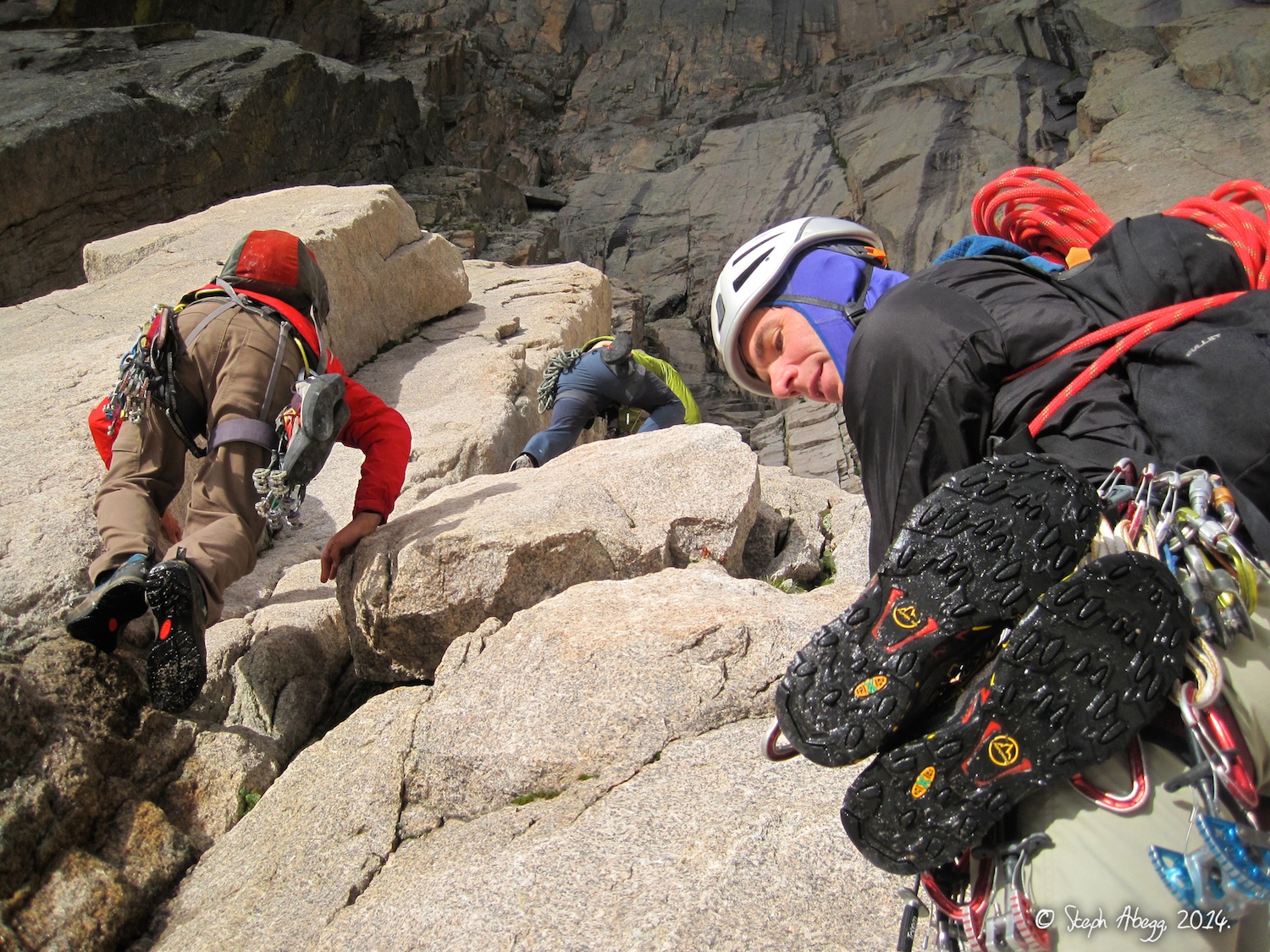
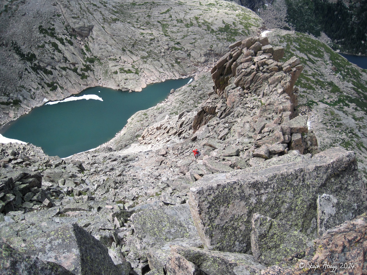
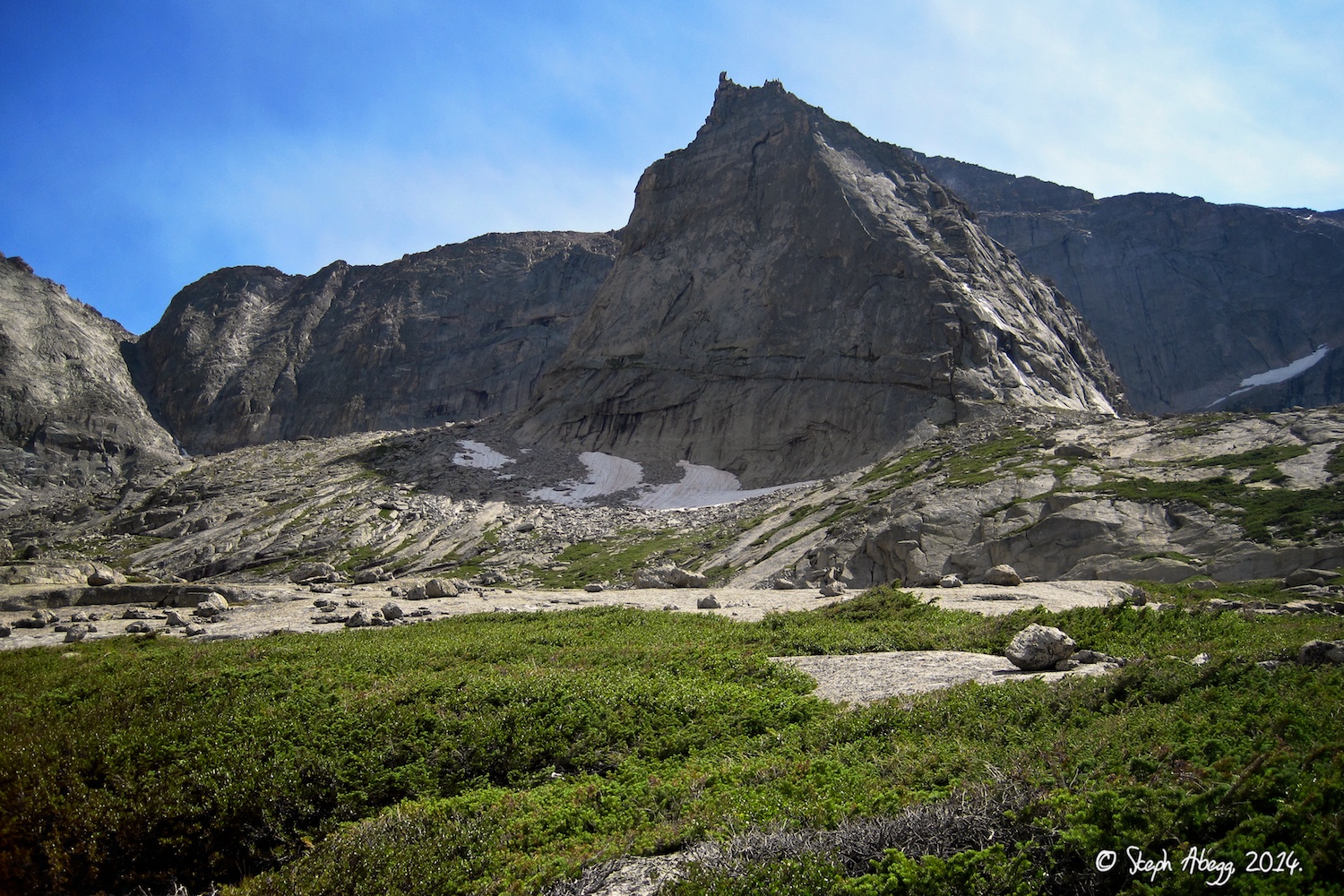
Trip Report 3:
The Spearhead, Sykes' Sickle
Date(s): August 8, 2014 (Thu)
Partner(s): Eric Schweitzer