Sharkstooth, Northeast Ridge (5.6, 5-6p)

The Sharkstooth

Route:

Northeast Ridge

5.6, 5-6p

A RMNP classic to a cool summit.

Region: Colorado
Elev: 12,630 ft
Rock type: Gneiss & Biotite Schist
Type: 
Date(s): July 1&2, 2023 (Sat&Sun)
Partner(s): Nate Arganbright

Route Overlays

CLICK TO ENLARGE

Intro

It was already July and Nate and I had not done a single alpine climb or spent a night up high in the mountains. It had been a cool and wet spring. So when the 4th of July weekend forecast looked sunny and warm, we decided it was high time to head into the mountains for a night. If you are climbing a route that is at least four pitches, you can get a bivy permit to camp up high in the park. Neither one of us had ever bivied in The Gash bivy zone, so we decided to go there, with the objective of climbing the Northeast Ridge (5.6, 6p) on The Sharkstooth. This classic route ascends the narrow buttress at the right edge of the east face, with fun climbing on good rock and great exposure and views.

A bit of trivia: Sharkstooth is the highest peak in RMNP that does not have a non-technical route to its summit.

The following page gives an overlay and pitch-by-pitch photos of the climb, as well as photos from our evening hanging out in this beautiful area. I really enjoyed this 24 hour mountain adventure. It was so nice to be climbing in the mountains!

Time Stats

Glacier Gorge Trailhead to bivy in The Gash: 2 hours
Bivy in The Gash to base of route: 38 minutes
Climb route: 1 hour 50 minutes
Descend via rap route and back to base of route: 48 minutes
Base of route to our bivy in The Gash: 35 minutes
Bivy in The Gash to Glacier Gorge Trailhead: 1 hour 45 minutes
Total camp-to-camp (includes a nice summit break): 4 hours 45 minutes
Total car-to-car (camp-to-camp time + hiking in/out time): 8 hours 30 minutes

Pitch-by-Pitch Photos

Approach

3rd
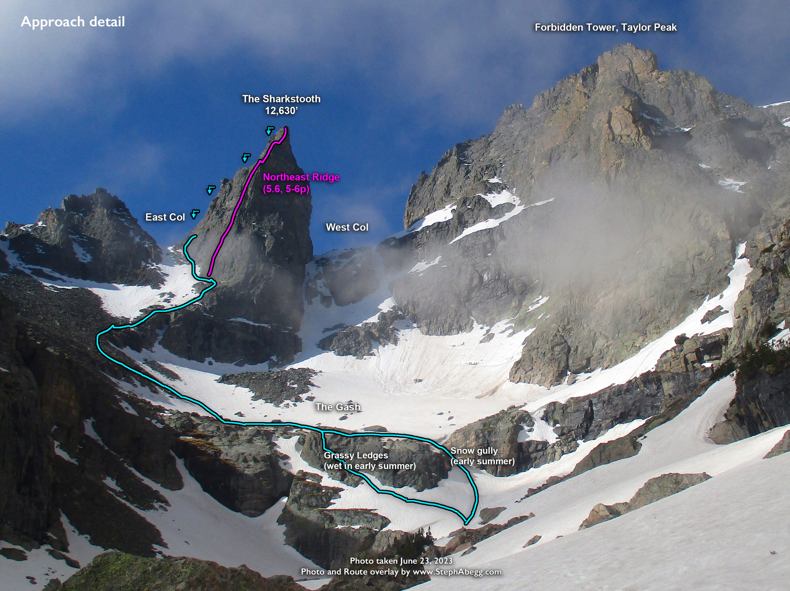
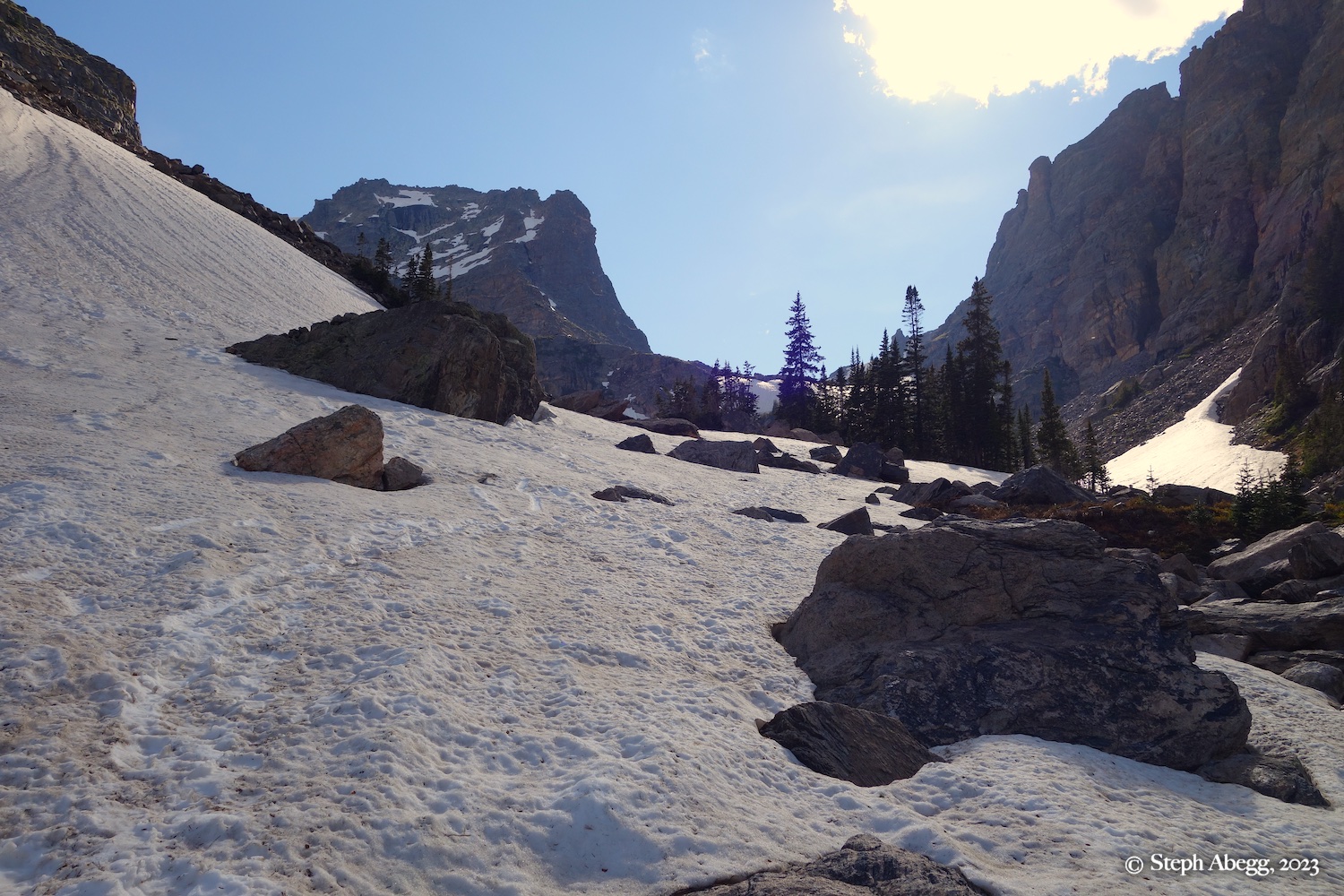
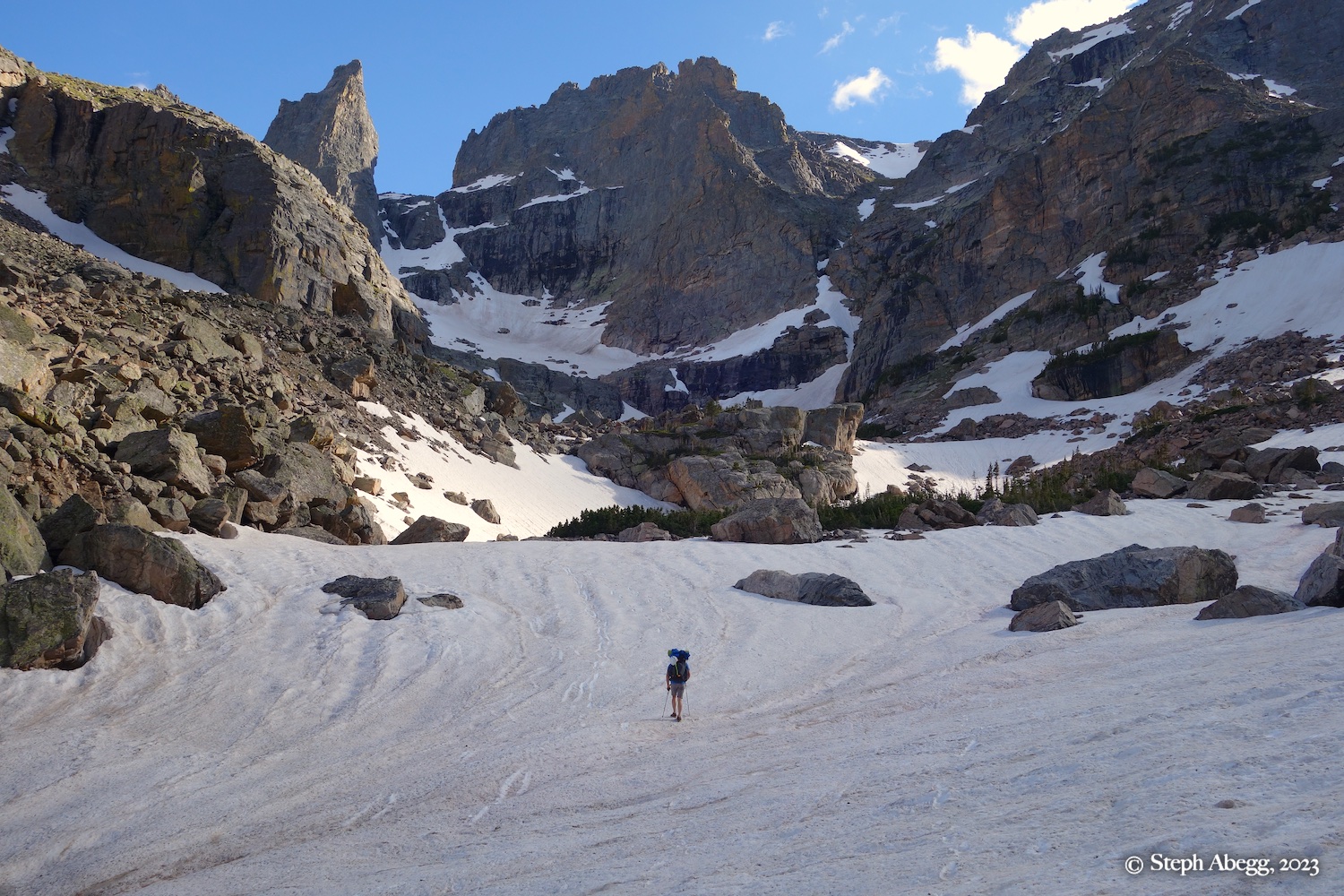
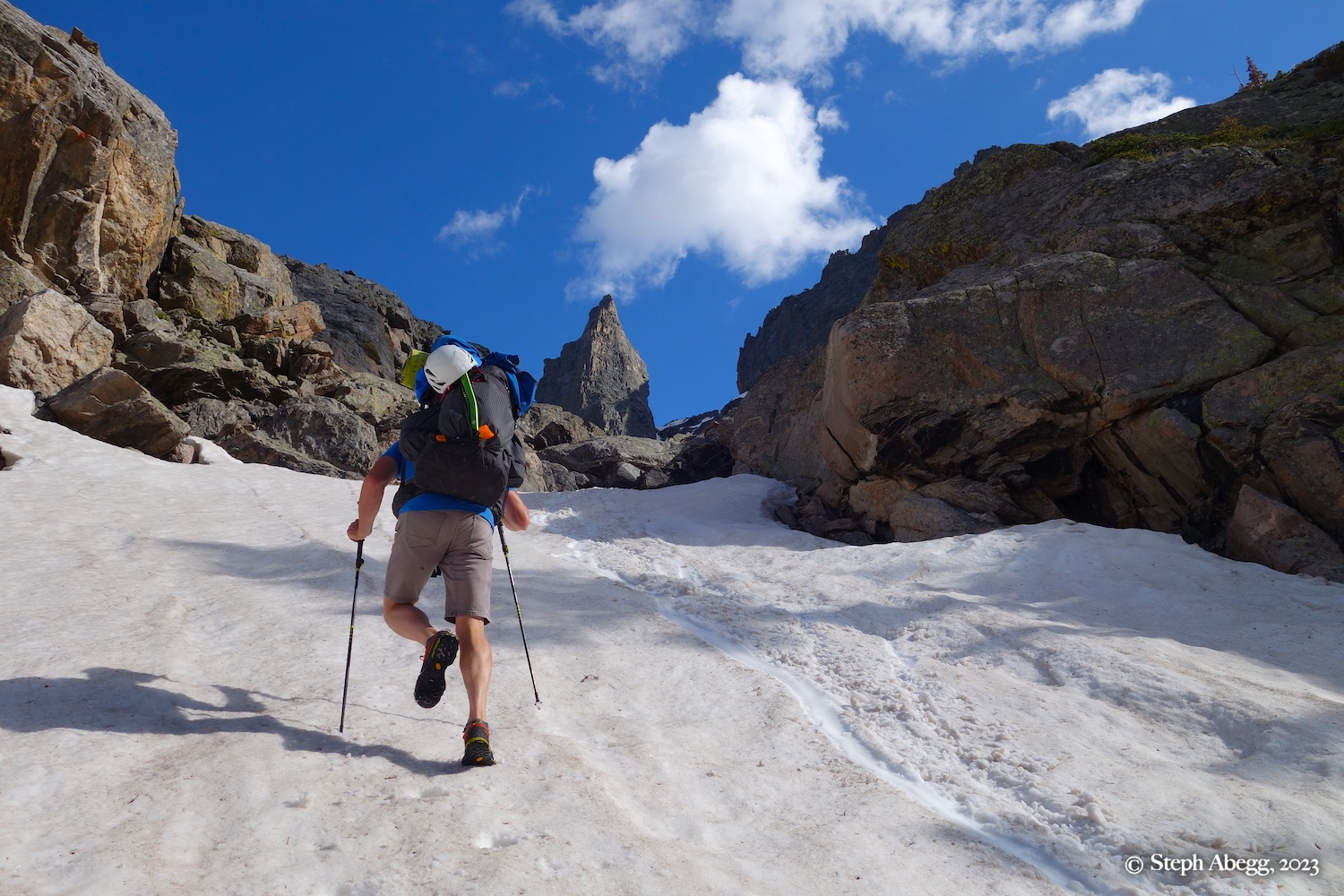
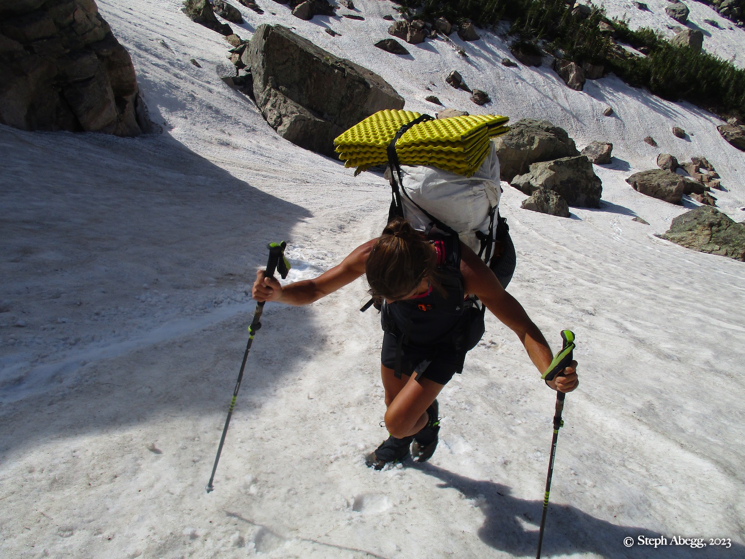
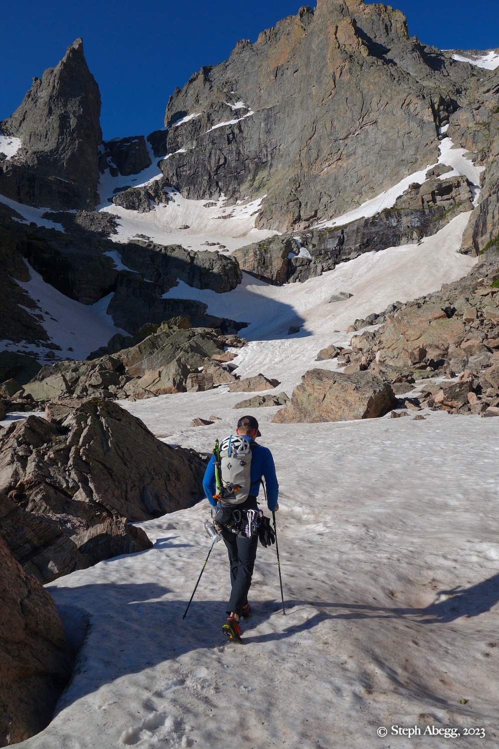
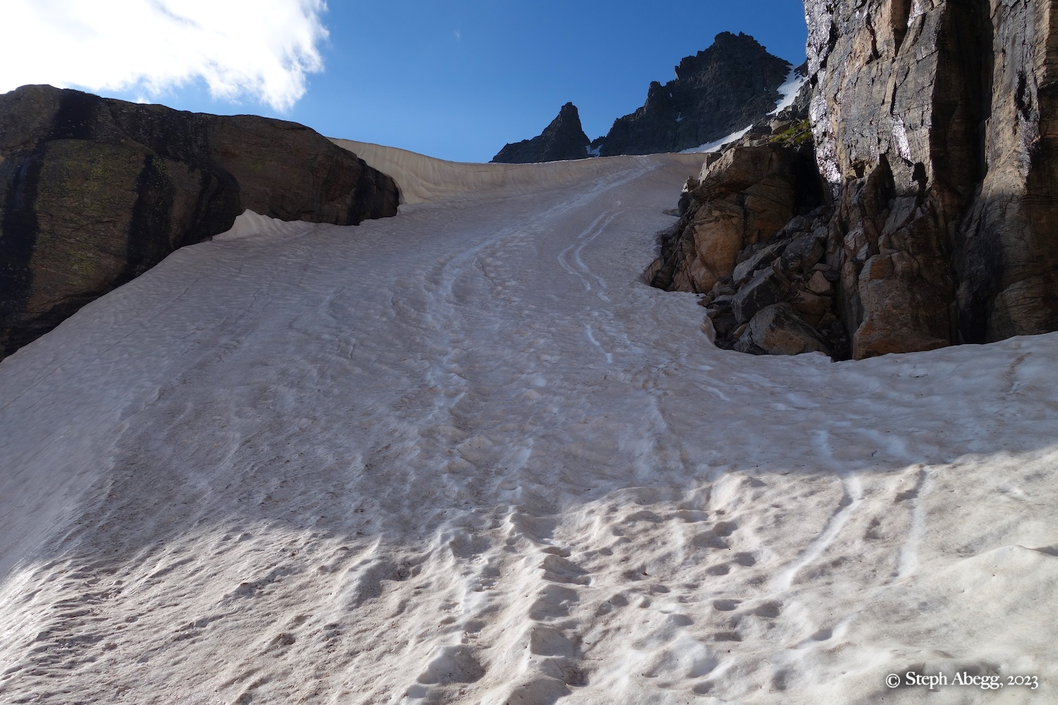
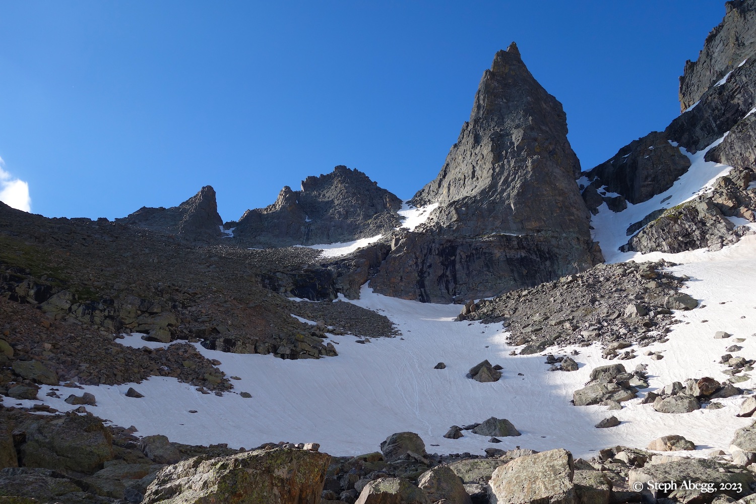
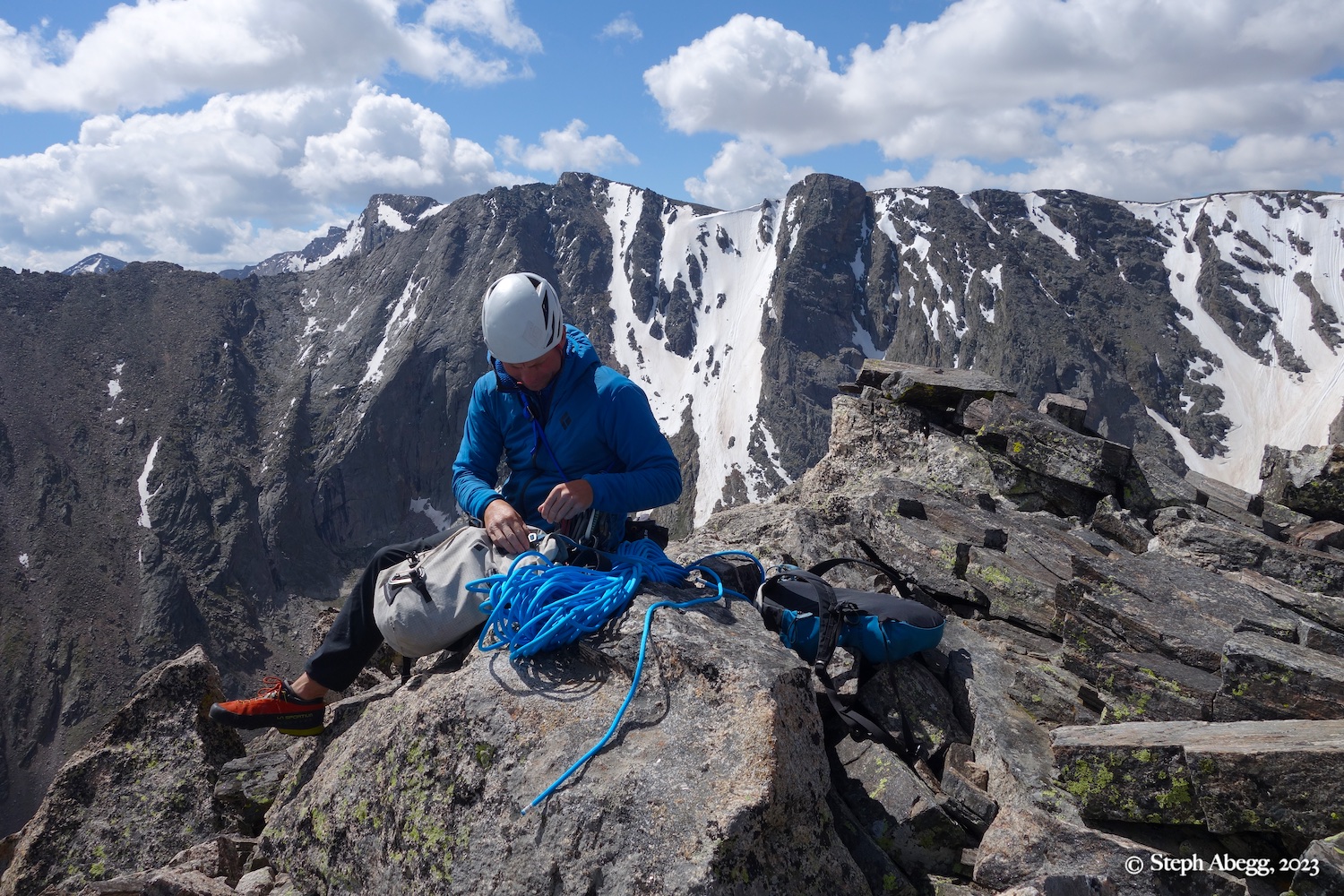
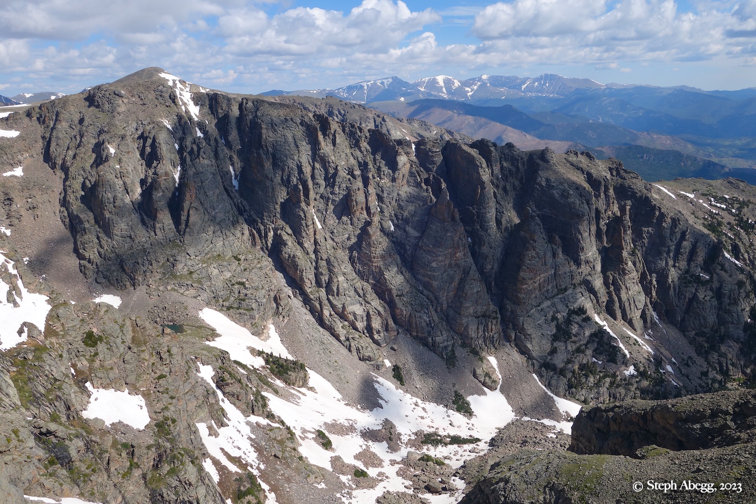
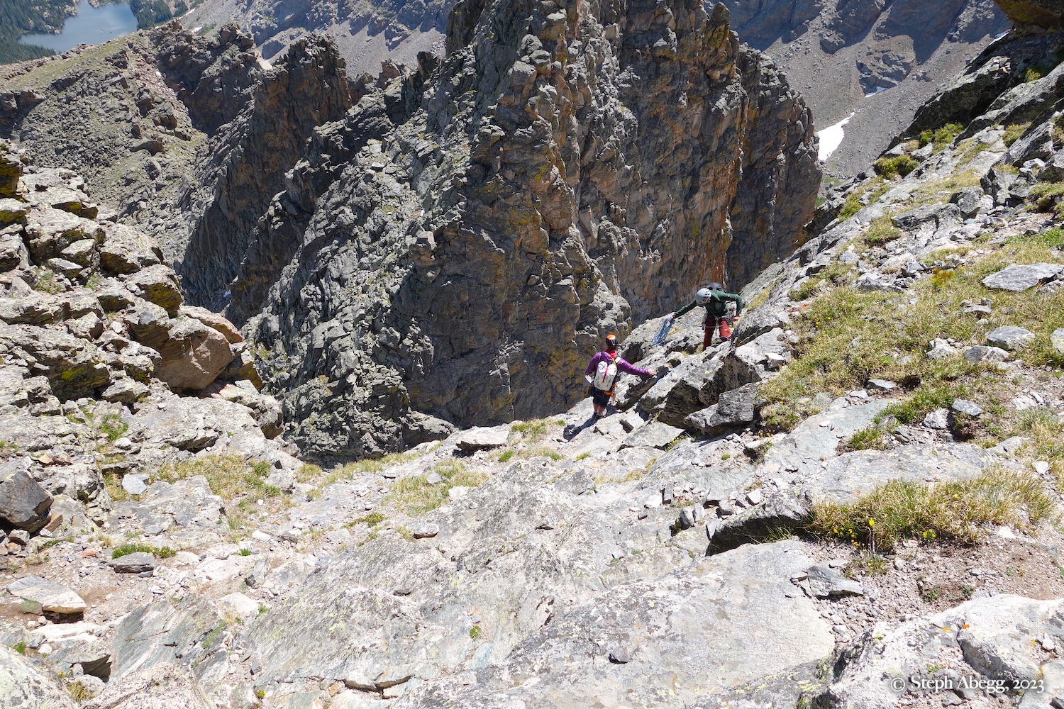
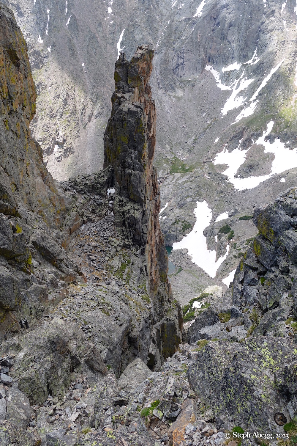
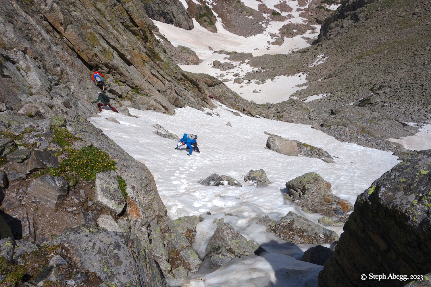
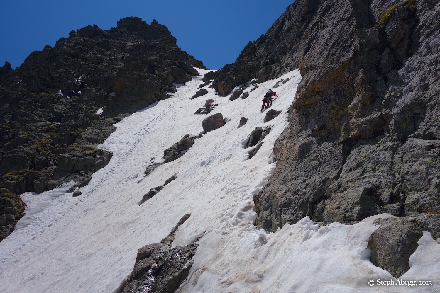
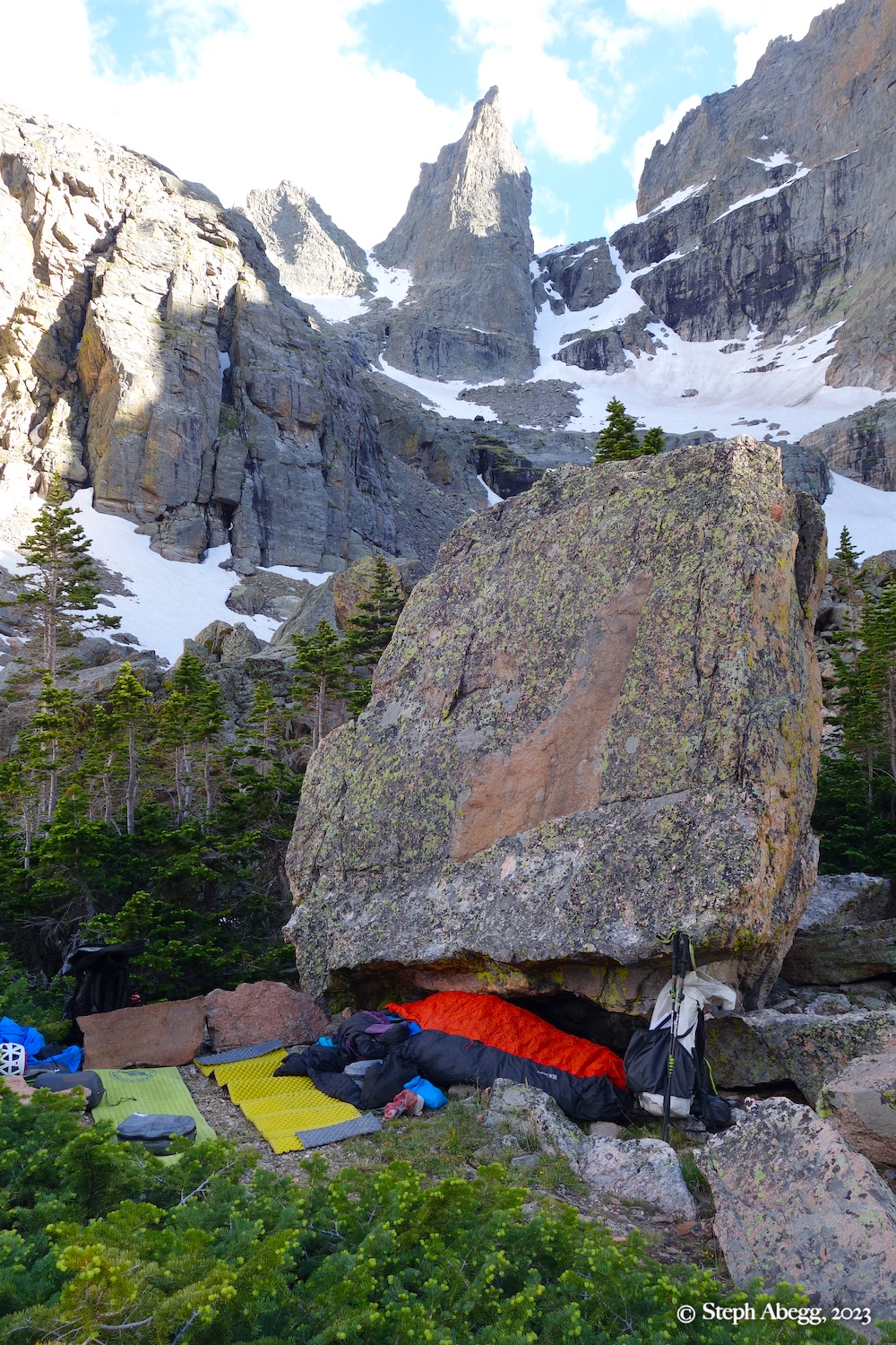
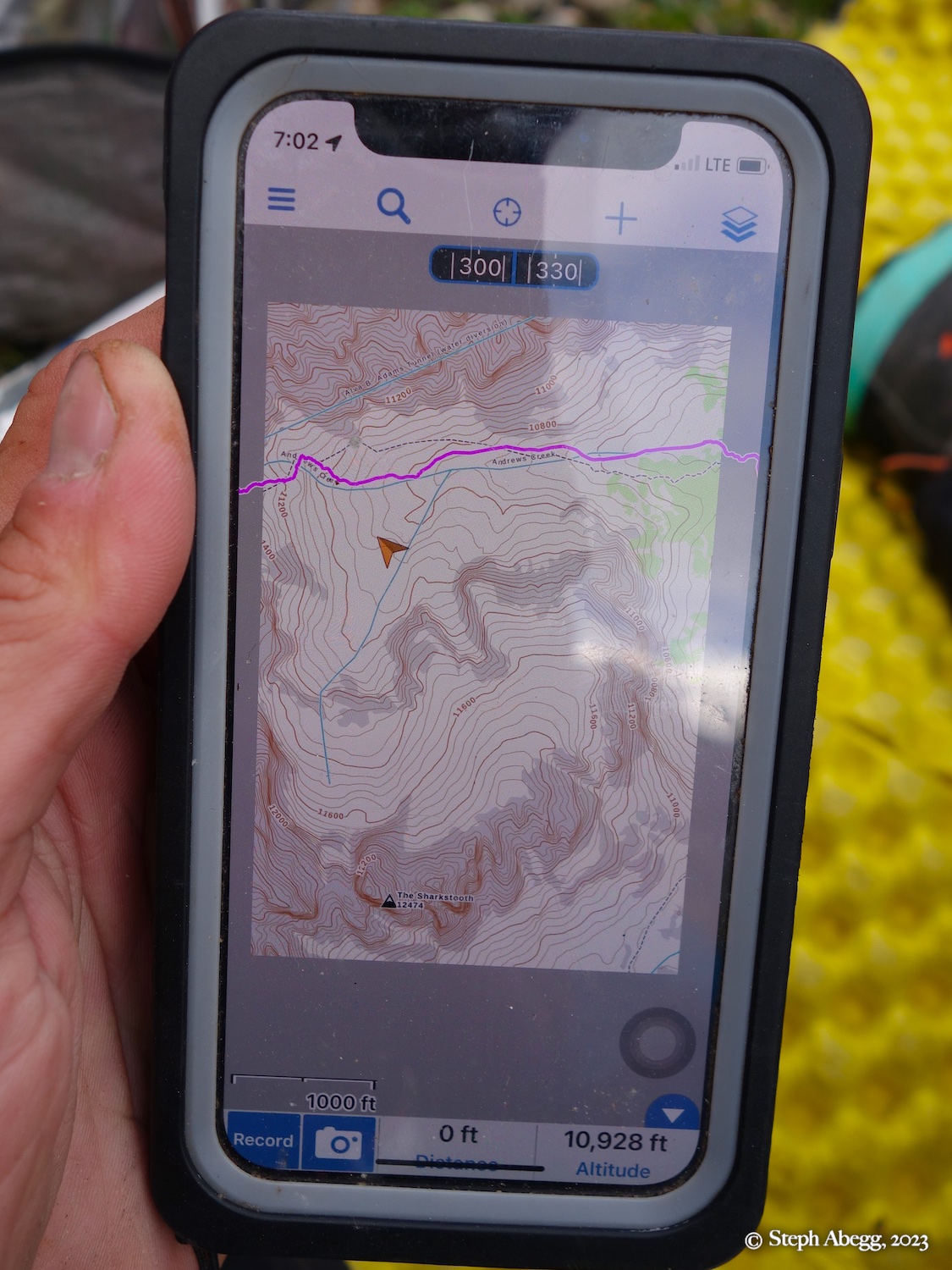
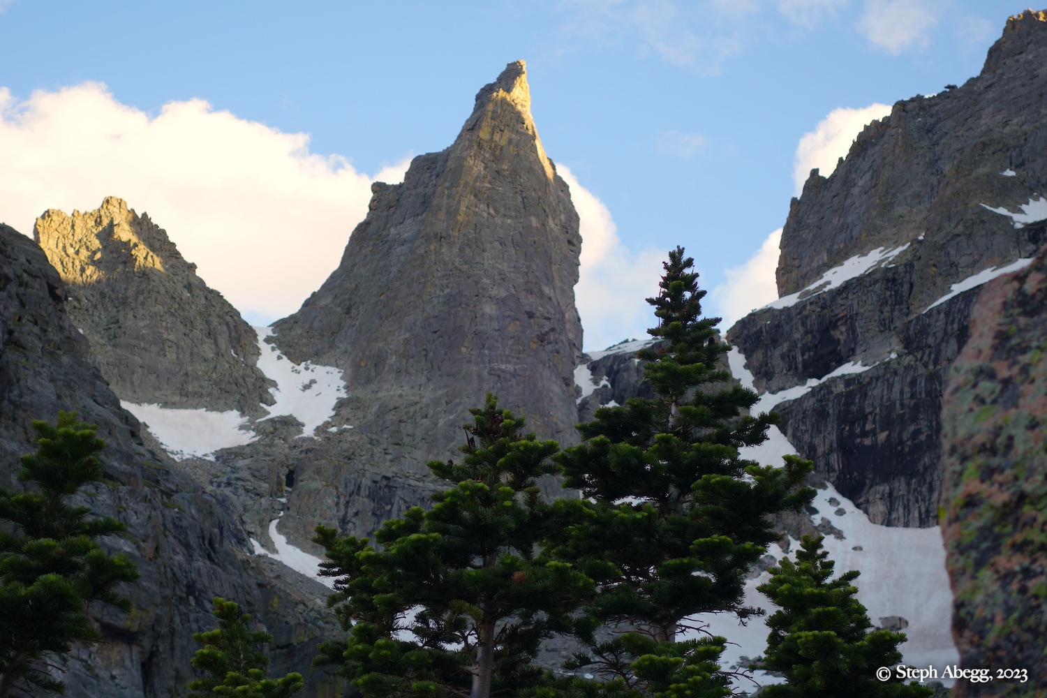
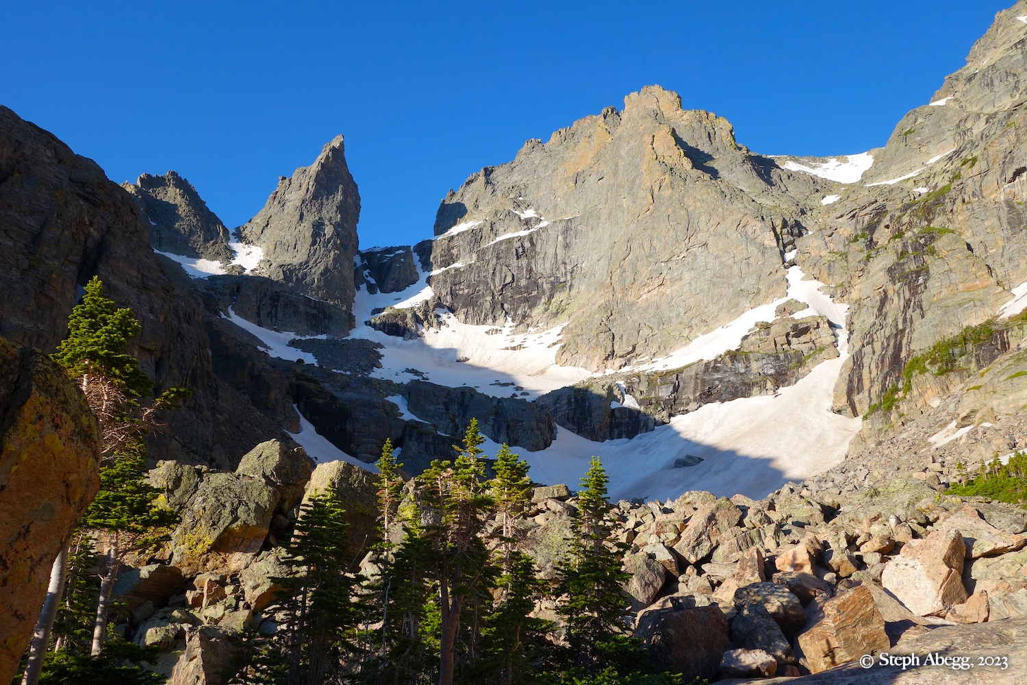
Approach from the Andrews Glacier Trail and The Gash. The Gash is a rugged valley of oversized talus on the "backside" of Cathedral Spires, about 0.7 miles up the Andrews Glacier Trail. The Gash provides access to the East Col, The Sharkstooth, West Col, and Northeast Spur of Taylor Peak. It also provides a safe (but long) return fromt he summits of The Foil, The Saber, and The Petit Grepon. A low cliff hand blocks access to the upper valley. Climb a narrow snow gully trough the middle of the cliff, or scramble up a series of big steps to the left. The valley splits above the cliff. The left branch heads to The Saber, the East Col, and the East Face of the Sharsktooth. The right branch leads to the West Col, West Fin of The Sharkstooth, and the Northeast Spur of Taylor Peak.

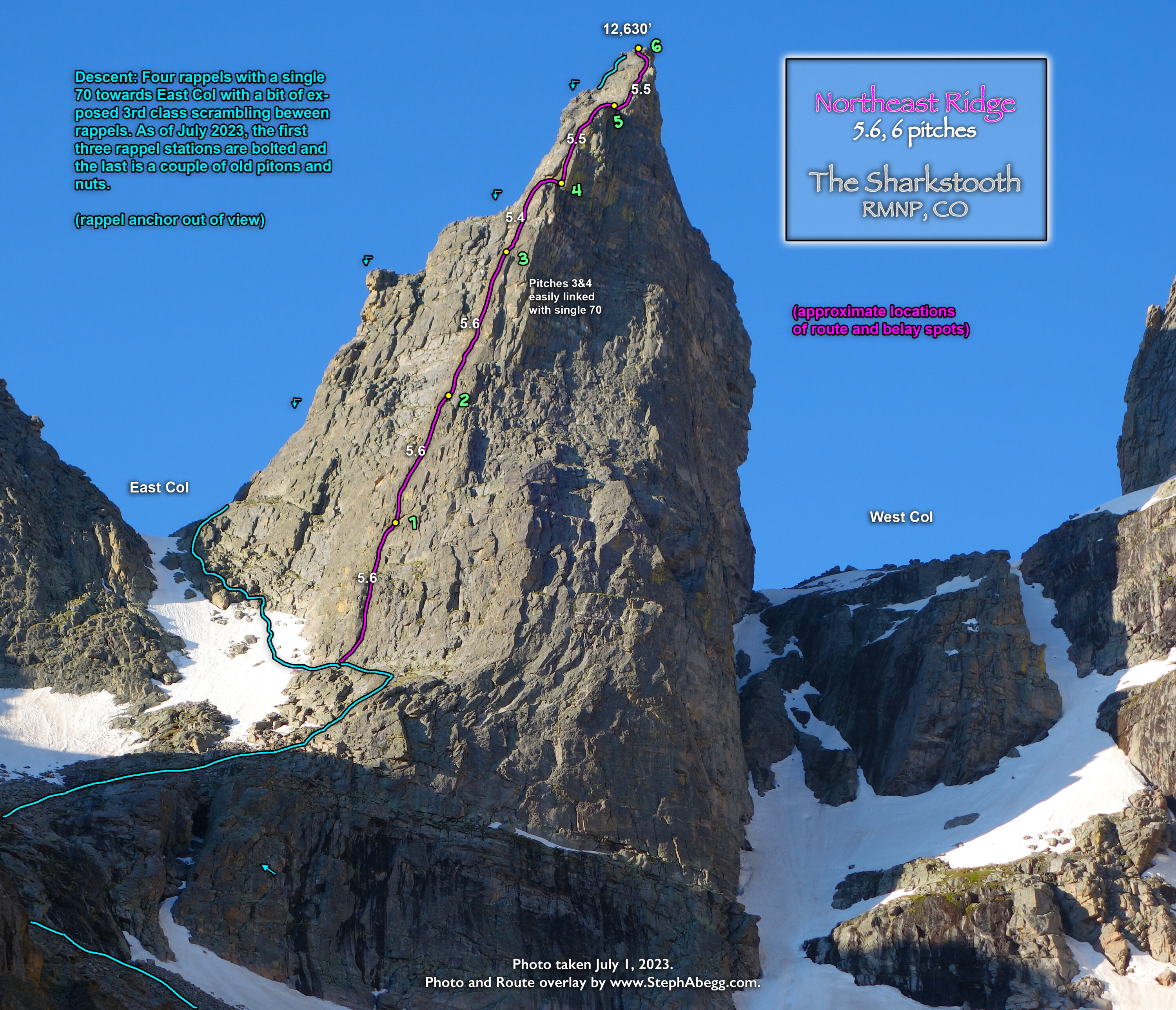
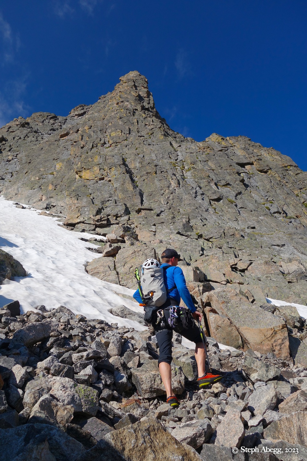
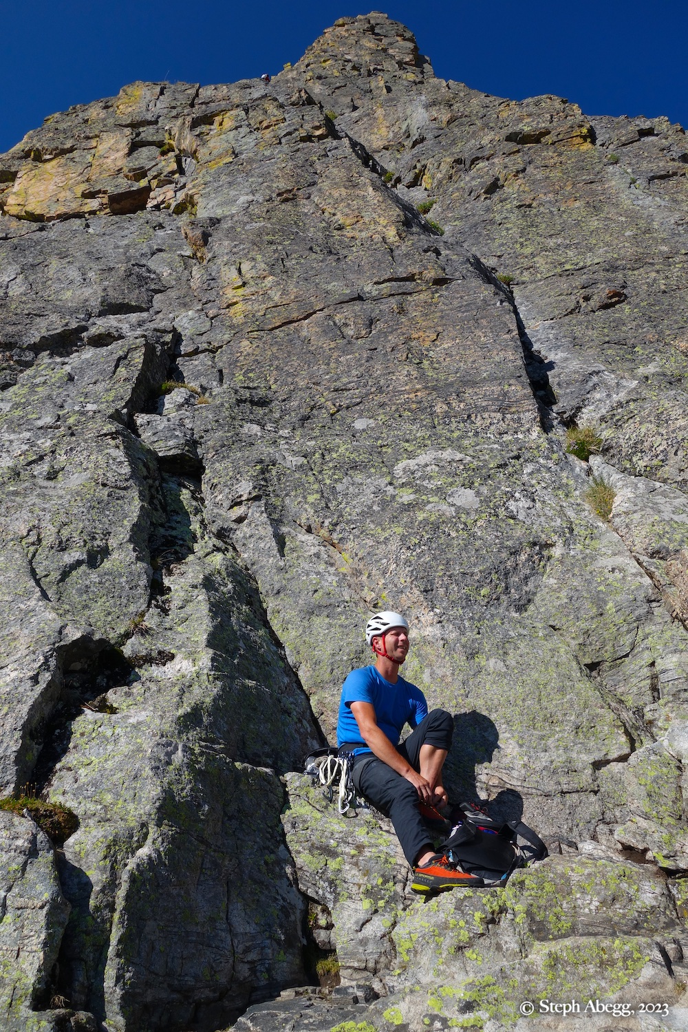
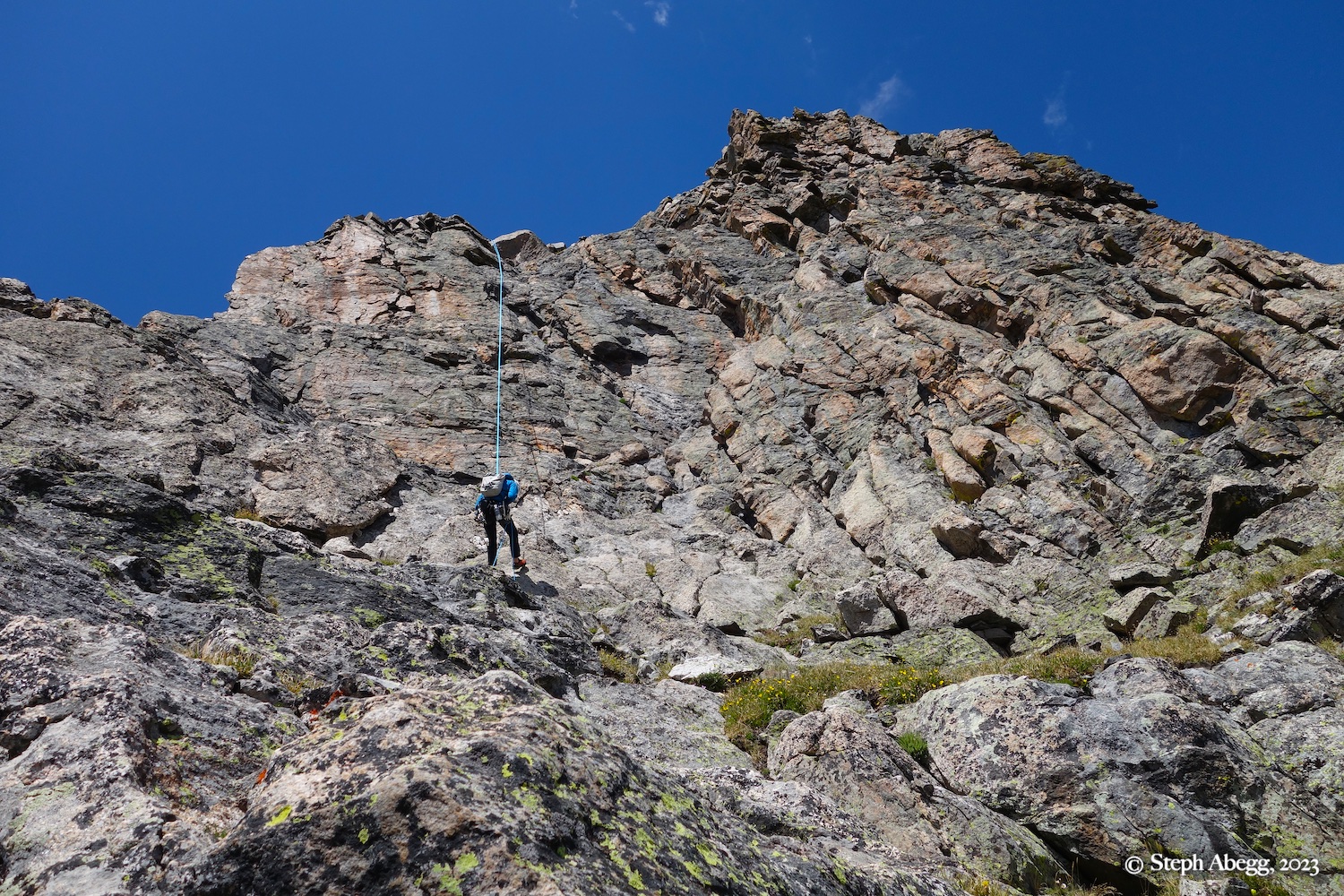
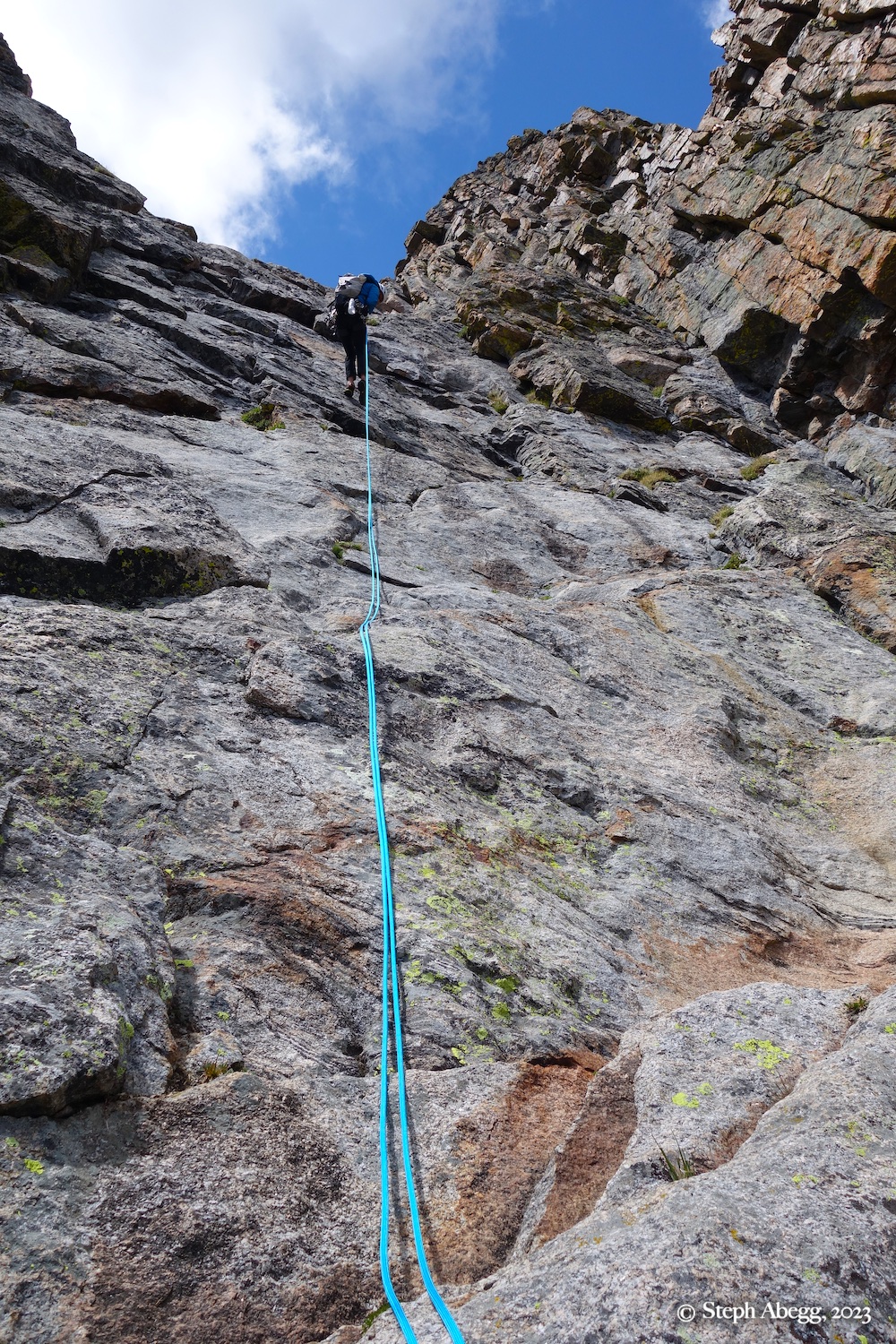
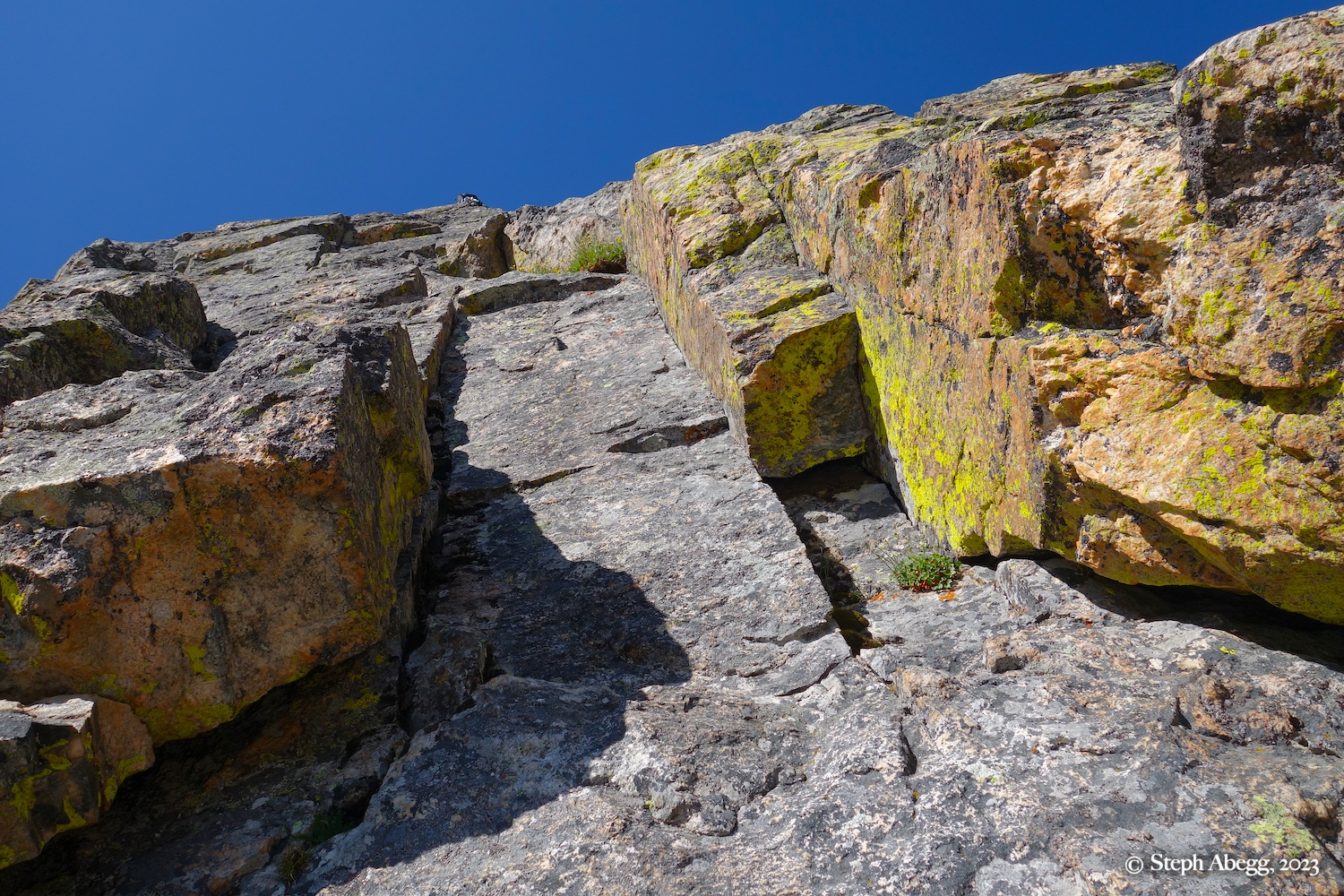
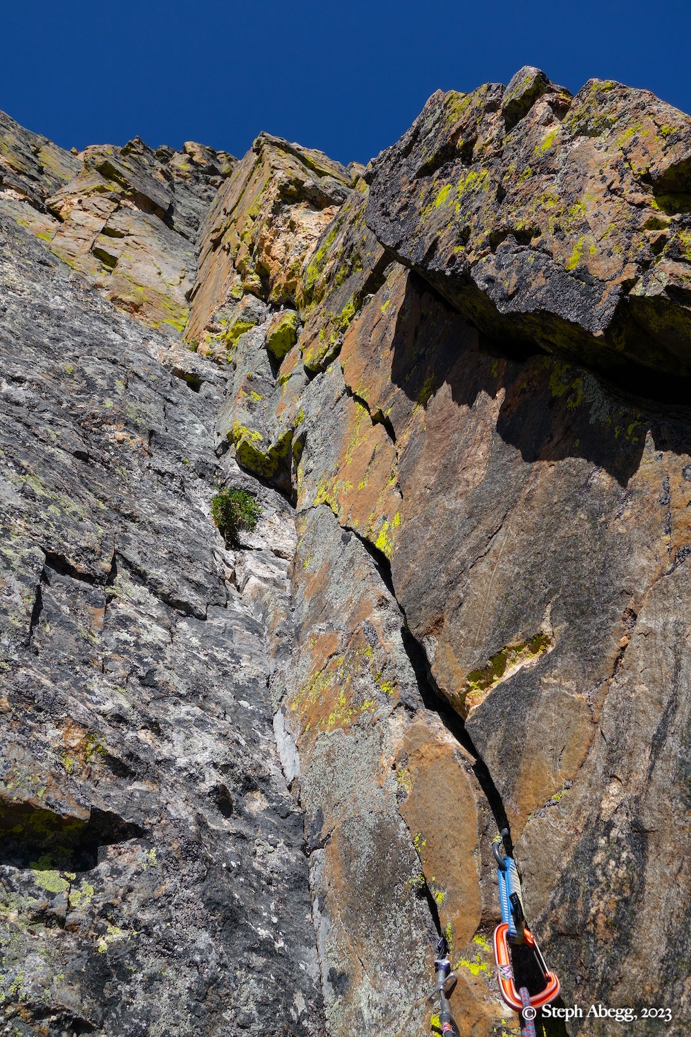
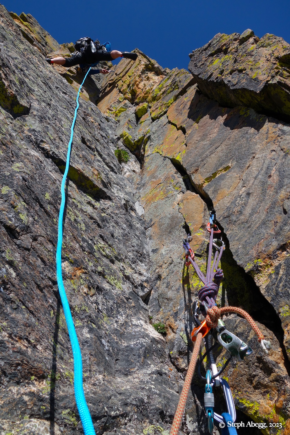
For the Northeast Ridge route, begin from sandy ledges 300 feet below the East Col and 75 feet left from the edge of the North Face.

Pitch 2

5.6, 155'
Climb the inset, then work up easier ground until a short lieback leds to a belay in a left-facing dihedral.

Pitch 3

5.6, 130'
Climb the dihedral a short ways, then move right and ascend a steep, shallow left-facing corner. Turn the roof at its top and belay on a ledge after about 30 feet. Or continue up and link with Pitch 4.

Pitch 4

5.4, 80'
Wander up to a big step in the ridge.

We combined this pitch with Pitch 3 for a nice 210-foot lead.

Descent

4 Rappels and scramble
Make four rappels down the east side towards the East Col and hike out via the Gash. We used a single 70m rope, which was sufficient with a couple of short easy downclimbs between rappels. The first three rappels were bolted anchors and the last was a sling on a couple of old pitons and nuts. Our rappels are as follows:

Rap 1: Head southeast from the summit and down a little gully to rap rings. Rappel to the end of rope and then scramble down a series of ledges to the next bolted rap station.

Rap 2: Rappel from rap rings directly to the next set of rap rings.

Rap 3: Rappel from rap rings. At the base of the rappel, look for a piton/nut/sling anchor on the wall to climbers' right.

Rap 4: Rappel from a sling on a couple of old pitons and nuts towards the east col. (It looks possible to downclimb low 5th and avoid the rappel, but the rappel is probably quicker/safer.)

Now scramble back to the base of the route to grab any gear you left behind and continue downwards and out the Gash. 

Photo from our bivy in the Gash

If you are climbing a route that is at least four pitches, you can get a bivy permit to camp up high in the park. Although the Northeast Ridge of The Sharkstooth can be easily climbed car-to-car, it is always nice to nab an opportunity to sleep up high in the mountains. The bivy zone for climbing the Northeast Ridge of The Sharkstooth is The Gash bivy zone. We found a flat pad of gravel nestled under a large boulder (convenient for hanging packs during the day), and with water nearby. We enjoyed a beautiful evening up high in the mountains.

Comments Pertaining to this Page / Trip Report

Useful beta. Updated route information. Corrections. Historical notes. Interesting facts. No fluff please.
Leave a Reply

Your email address will not be published. Required fields are marked *