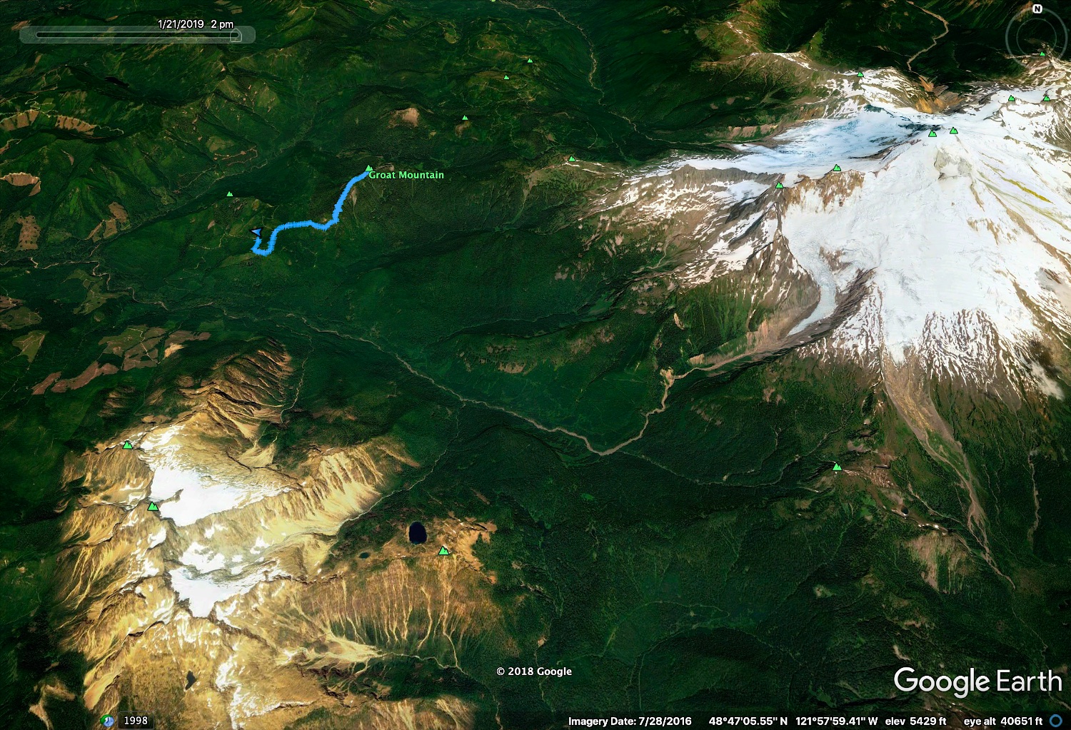
Groat Mountain, South Ridge (crampons + snowshoes)

Groat Mountain

Route:

South Ridge

crampons+snowshoes

Region: Washington
Elev: 5,581 ft
Type: 
Date(s): January 21, 2019 (Mon)
Partner(s): Matt Burton, Carla Schauble

Maps & Google Earth & GPX File

CLICK TO ENLARGE

Trip Report

THIS TRIP REPORT IS STILL MOSTLY IN THE EMBEDDED HTML FORMAT OF MY OLD WEBSITE.


INTRO

As my snowshoeing buddies all live in Seattle, I am accustomed to having to drive an extra 1-1.5 hours southward to join their adventures. (In fact, the day before this trip, I had driven down to I-90 to hike up Mt. Teneriffe with a couple of friends.) So when Matt and Carla decided to do a snowshoe in my neck of the woods, I was eager to join. The plan was Groat Mountain, a summit nestled between Mount Baker and the Twin Sisters. Matt and Carla had attempted to climb Groat the previous winter, but deep snow and a fateful decision to summit Stewart on the way caused them to get only as far as the false summit before dark. 

The route takes the south ridge up Groat. There seem to be two ways to start the route: (1) a direct but lower elevation start directly off the Middle Fork road, or (2) a less direct but higher elevation start off the Stewart Road, which turns off the Middle Fork Road and climbs up the south flank of Stewart just west of Groat. We went with the Stewart Road option. Due to a rather meager winter snowpack, the Stewart Road was drivable all the way to 3050 feet. We parked there, and then walked the rest of the road up to a logging road spur that led to the base of the south ridge of Groat. From there, we headed straight up the forested ridge. The snow was thin and crusty. This meant two things: (1) crampons were a much better footwear than snowshoes (fortunately we had brought crampons) and (2) our progress up the ridge was exceedingly quick. In less then three hours we arrived at the false summit, and 40 minutes later we were on the true summit. Unfortunately, the clouds had moved in earlier than forecasted, and the summit views were socked in. But it was calm and reasonably pleasant. After a quick lunch, we headed down, making a quick and uneventful return to the car. I was back in Bellingham around the time Matt and Carla had reached the false summit of Groat the previous winter. We had expected a much longer day. But it was a school night and I was happy to have a couple of extra hours.

All in all, it was an enjoyable day of exercise, and a good destination out of Bellingham. The only downside was the day's disappearing views of the Twin Sisters and Baker towering to the south and east. To see what the views can be like on a clear day, here's a link to Matt's trip report for Stewart in January 2018

The following page gives a short trip report for the day's adventure.

STATS

Total trip (best guess from combination of GPS tracks): ~6.5 miles, ~2,700 ft gain/loss 

Total time: 6 hours 10 minutes (car to car time, includes breaks)
Car to summit: 3.5 hours
On summit: 24 minutes
Summit to car: 2 hours 20 minutes

PHOTOS

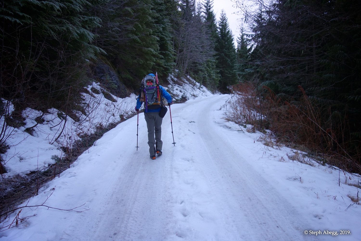
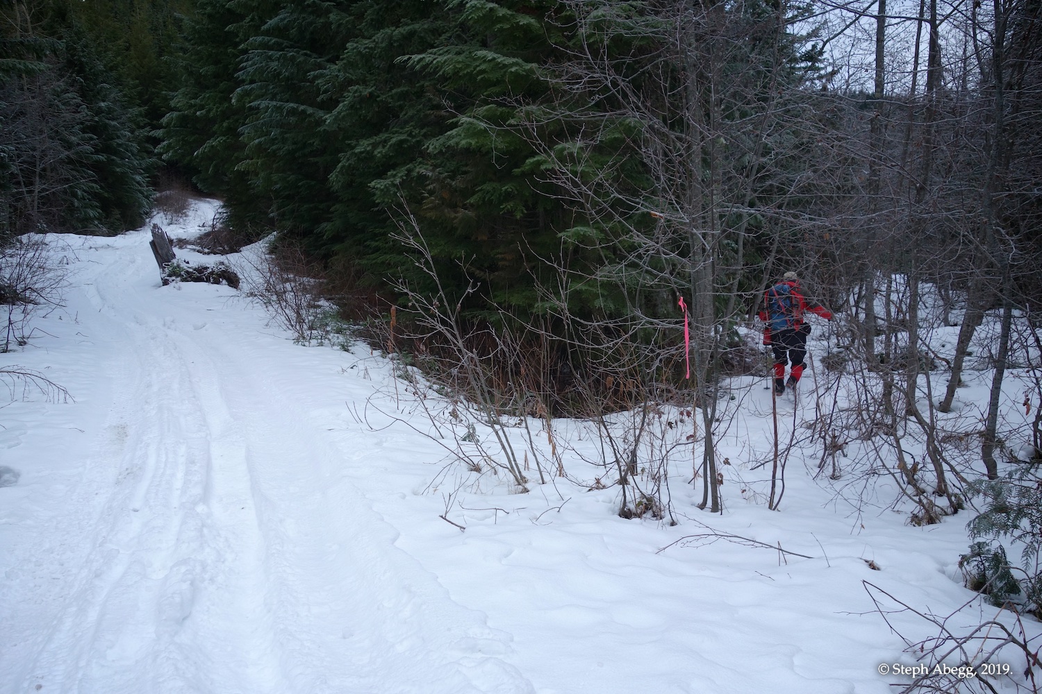
Starting up the road. We parked just before this, but it turned out we could have driven a bit further, as the road became clear again in a few hundred feet.
Pothole ice art.
Both ways eventually lead to the south ridge of Groat. We took the upper fork, which seemed to be the best choice. Yep, could have driven to here or even a bit further (this fork was about 10 minutes from the car).
Some sedimentary rock exposed by the roadcut. According to my go-to geology consult Doug McKeever, this is an outcrop of the widespread Chuckanut Formation. The lithology is arkosic sandstone, shale, and mudstone.
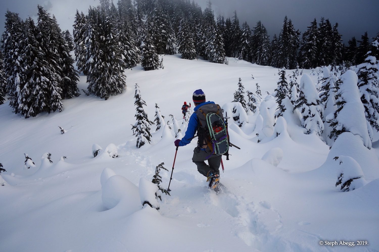
We took a brushy logging road spur which led easily to the south ridge of Groat.
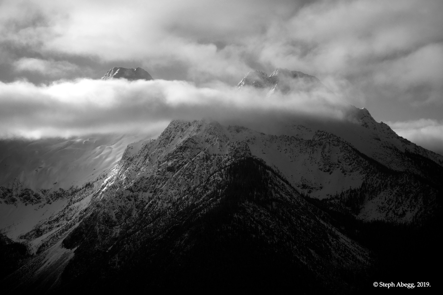
Twin Sisters to the south, as seen from the base of the south ridge of Groat, where the view opens up for a bit. Unfortunately, the clouds thickened as we climbed through the timber to the summit of Groat, so this was the only view we got of the Twin Sisters.
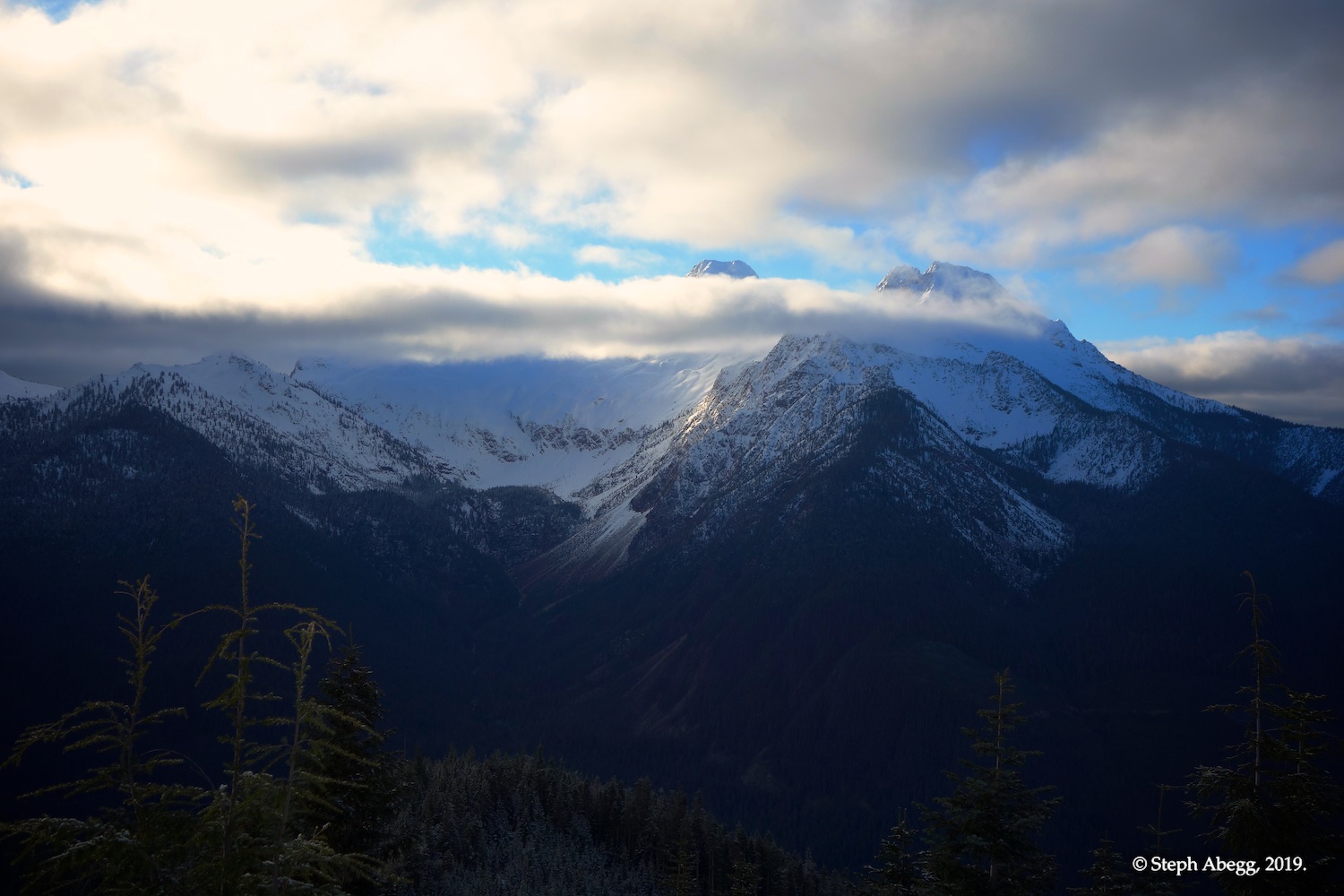
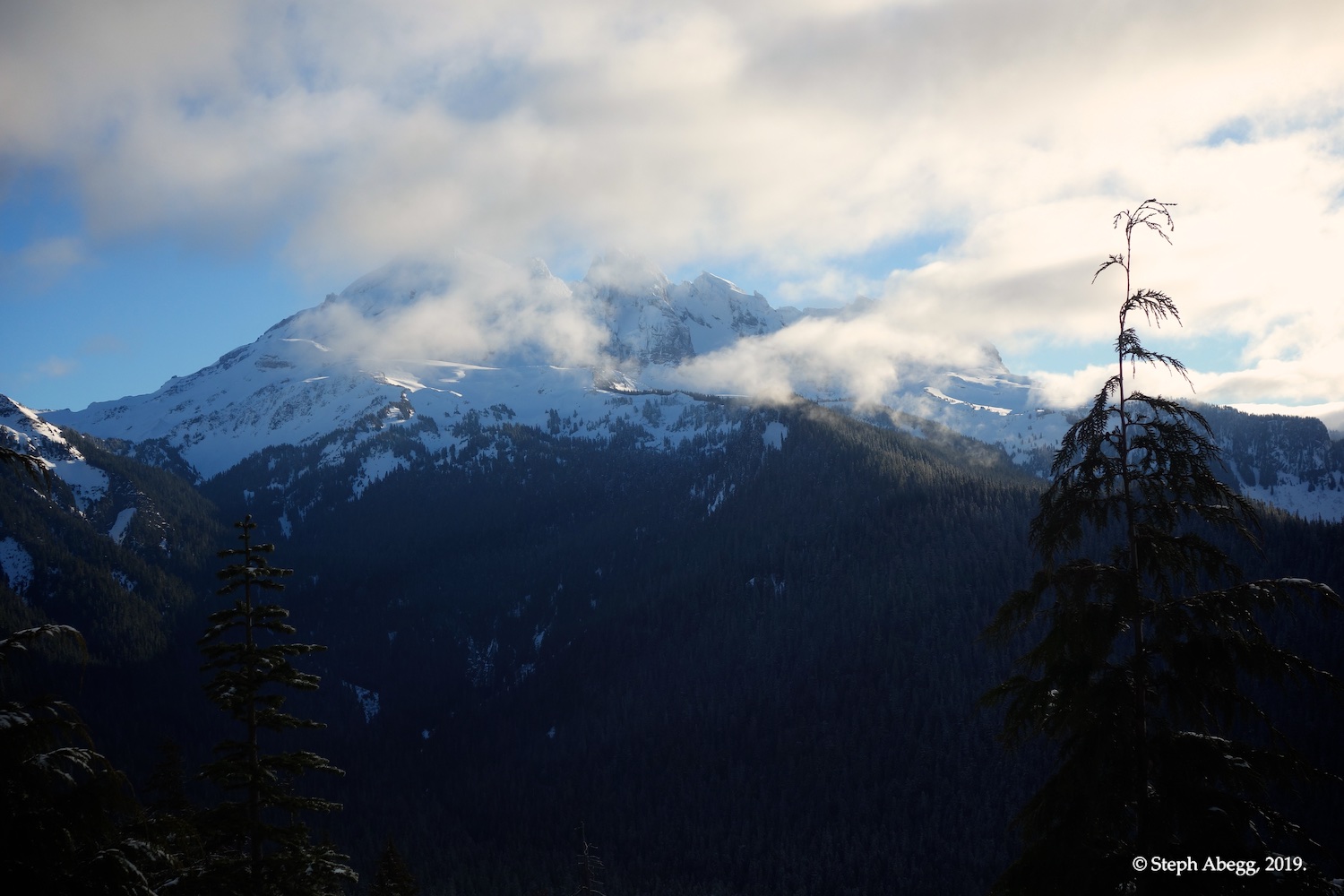
Baker to the east.
Looking up the south ridge, where the logging road spur ended.
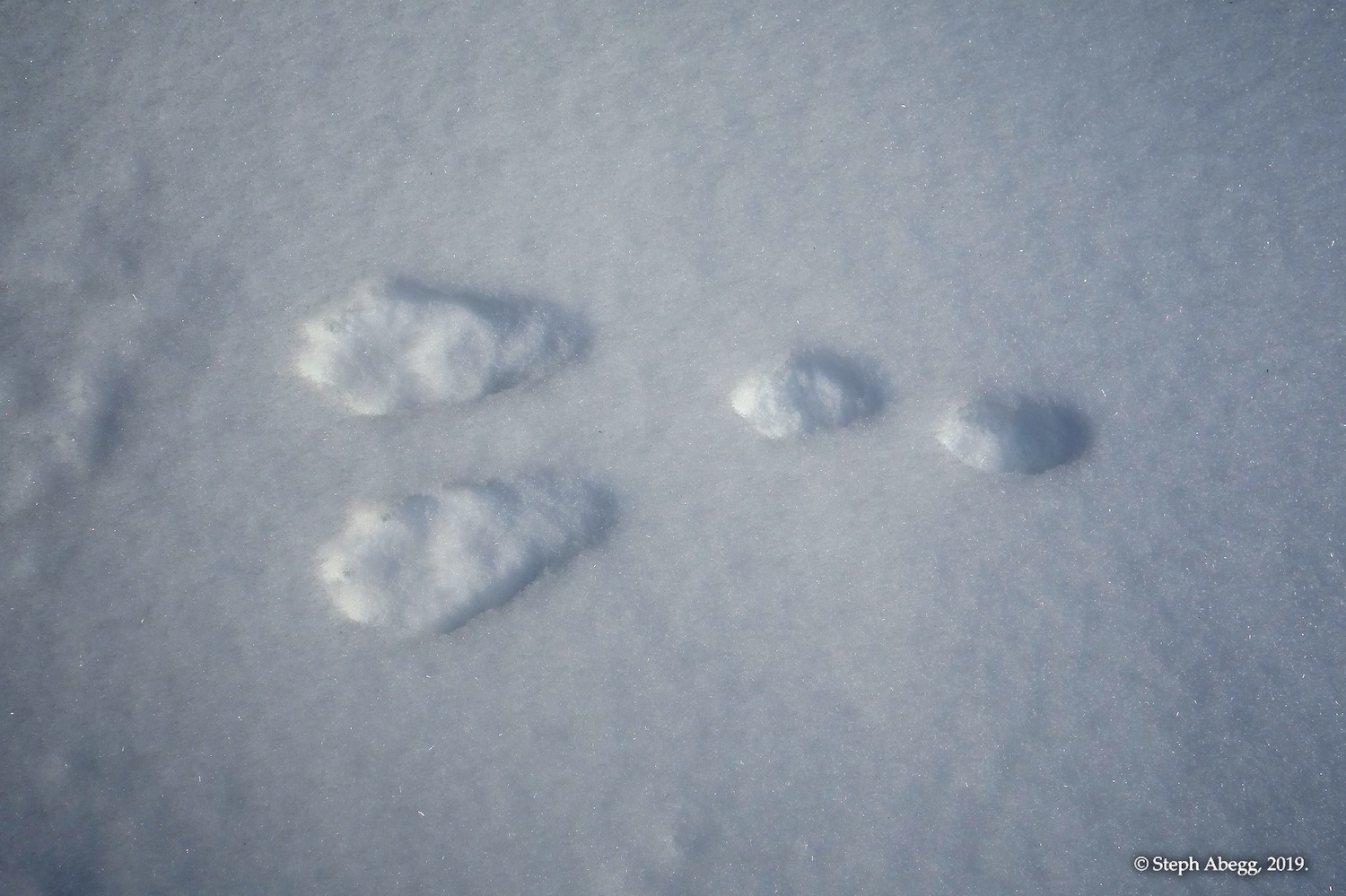
Rabbit tracks.
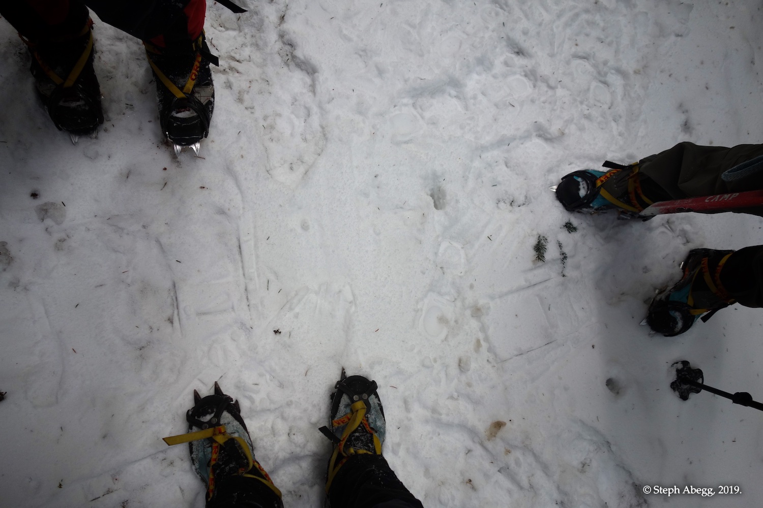
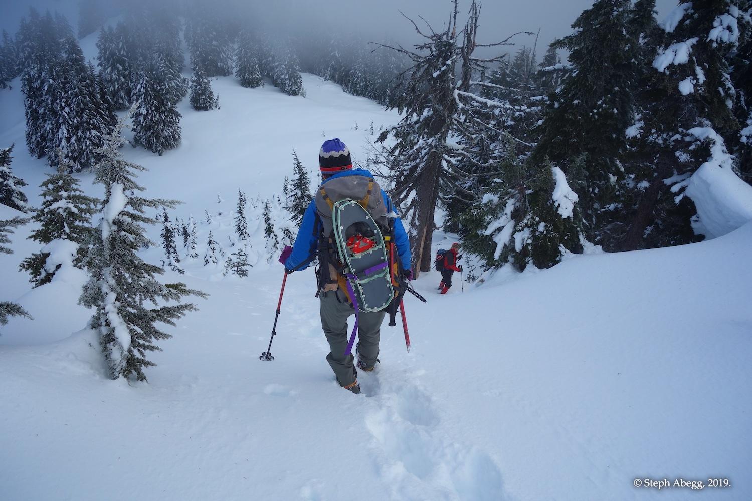
Ascending through timber. Shortly after this photo was taken, we swapped our snowshoes for crampons, which proved to be the ideal footwear for the snow conditions.
We wore crampons for the rest of the way to the summit.
The false summit of Groat, during a rare sunbreak.
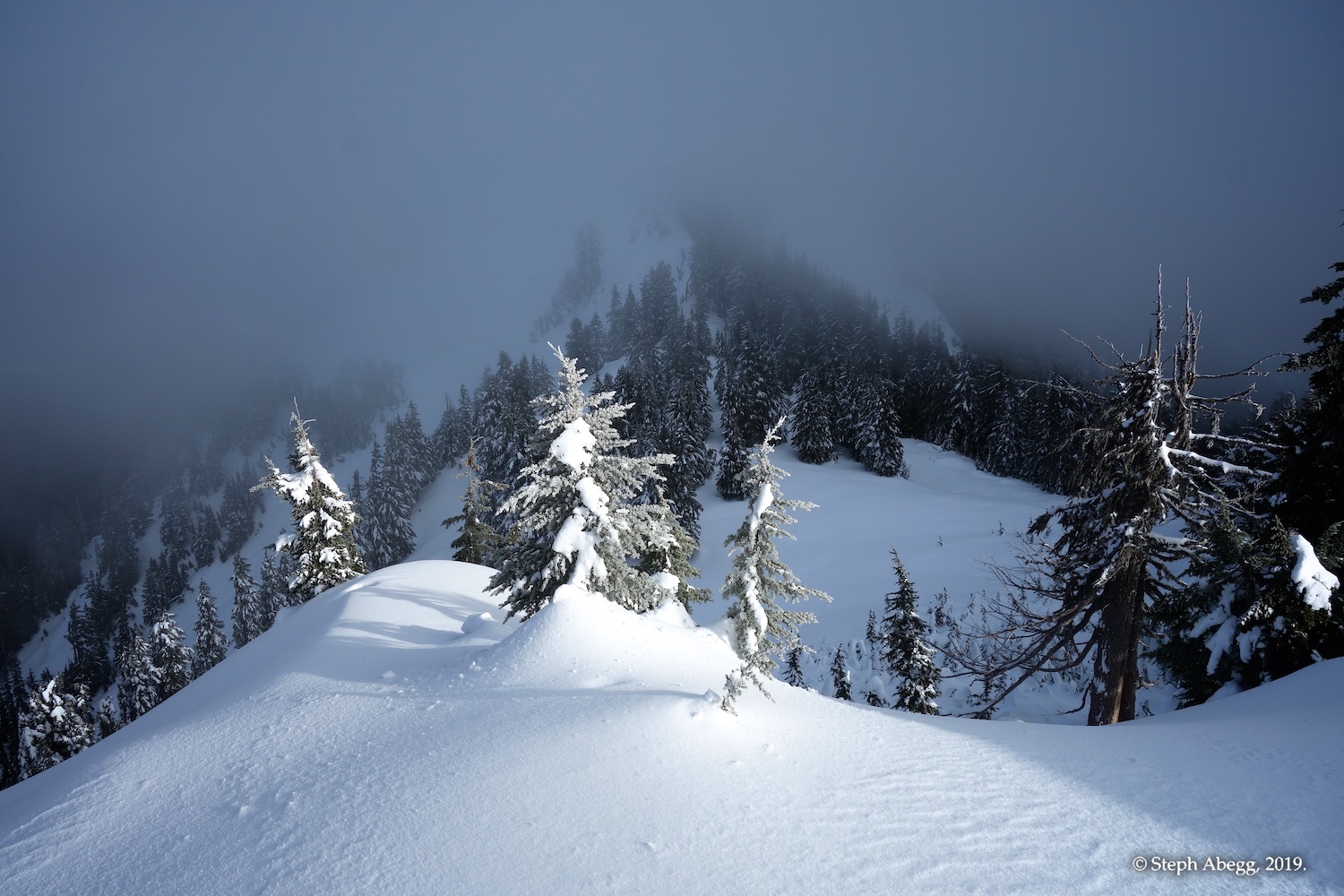
Looking towards the summit of Groat from the false summit.
leaving the false summit headed towards the true summit.
Carla descending though a section of cute little trees.
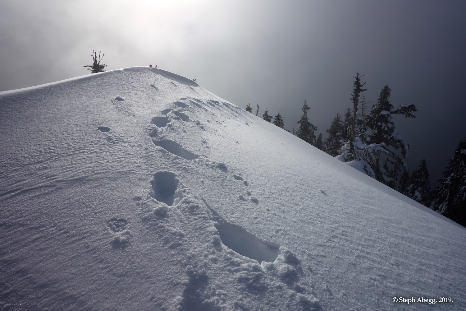
Corniced ridge just below the summit.
View back along the corniced ridge just below the summit.
Matt on the small summit bump, looking over the other side.
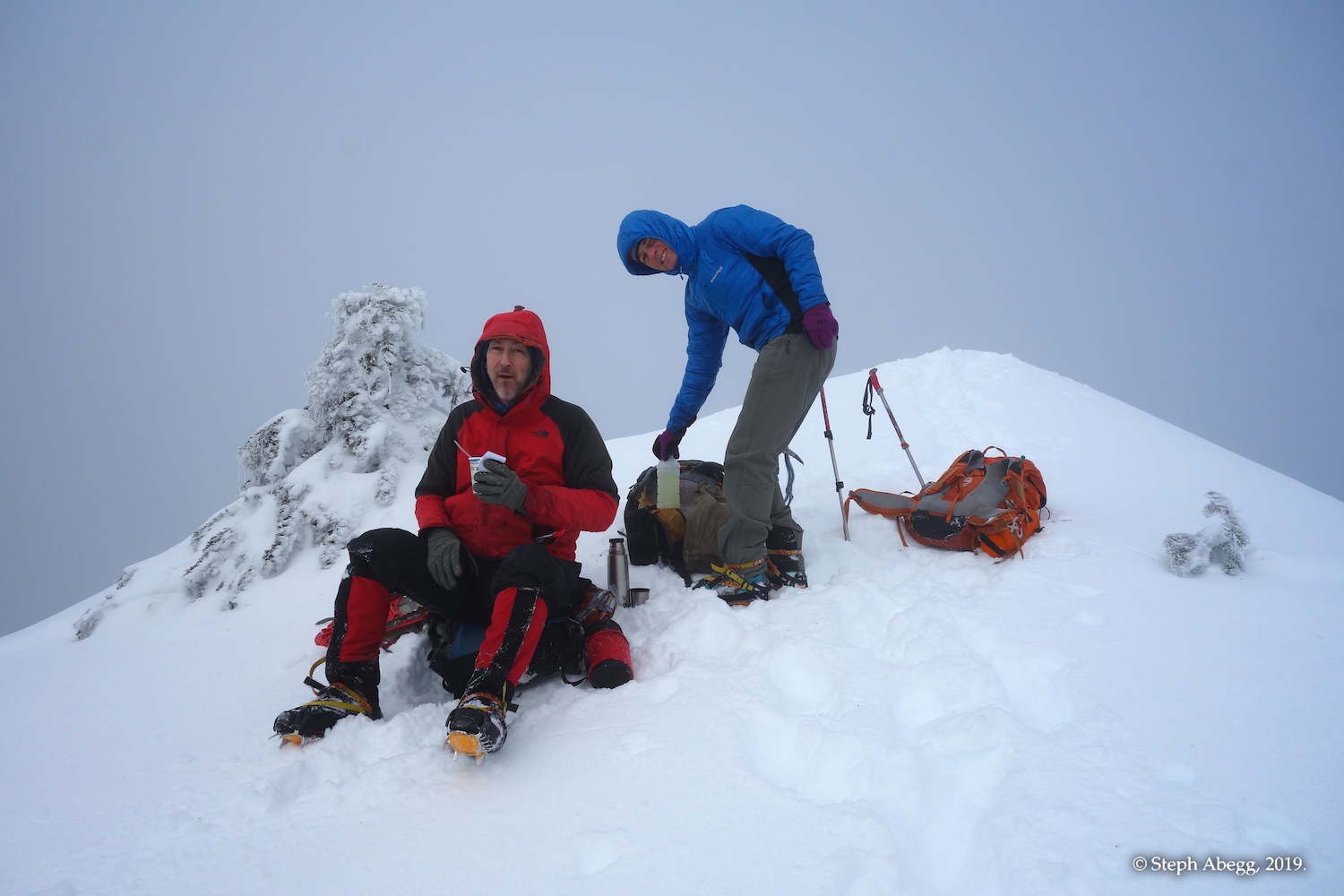
Matt and Carla on the summit.
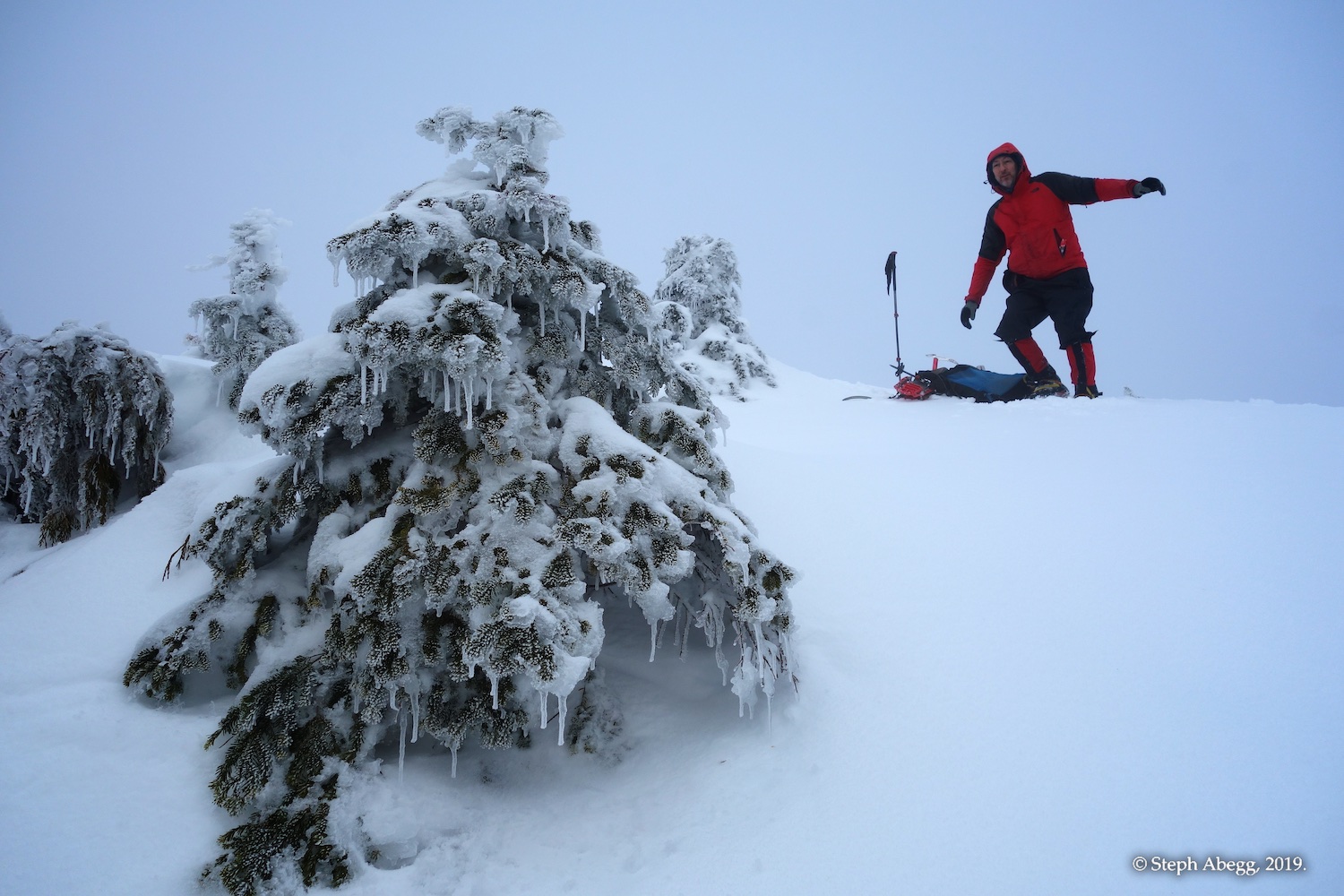
A rime-encased tree, with Matt on summit behind.
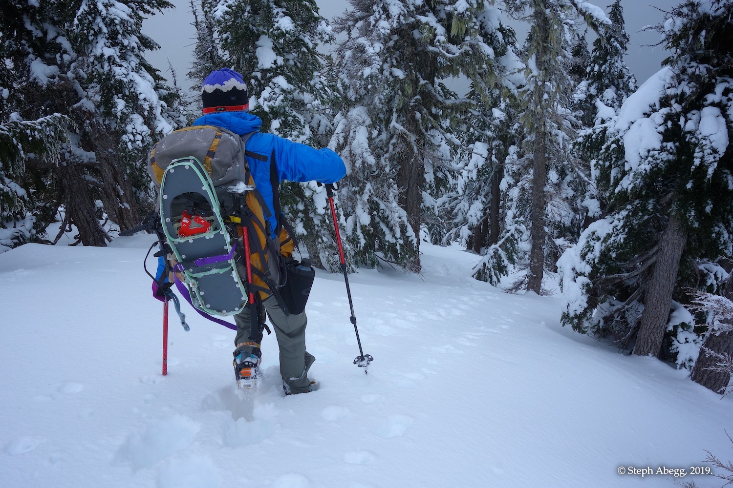
Beginning the descent back towards the false summit. Even here, where the ridge was narrow and steep at times, we found crampons to be the best footwear.
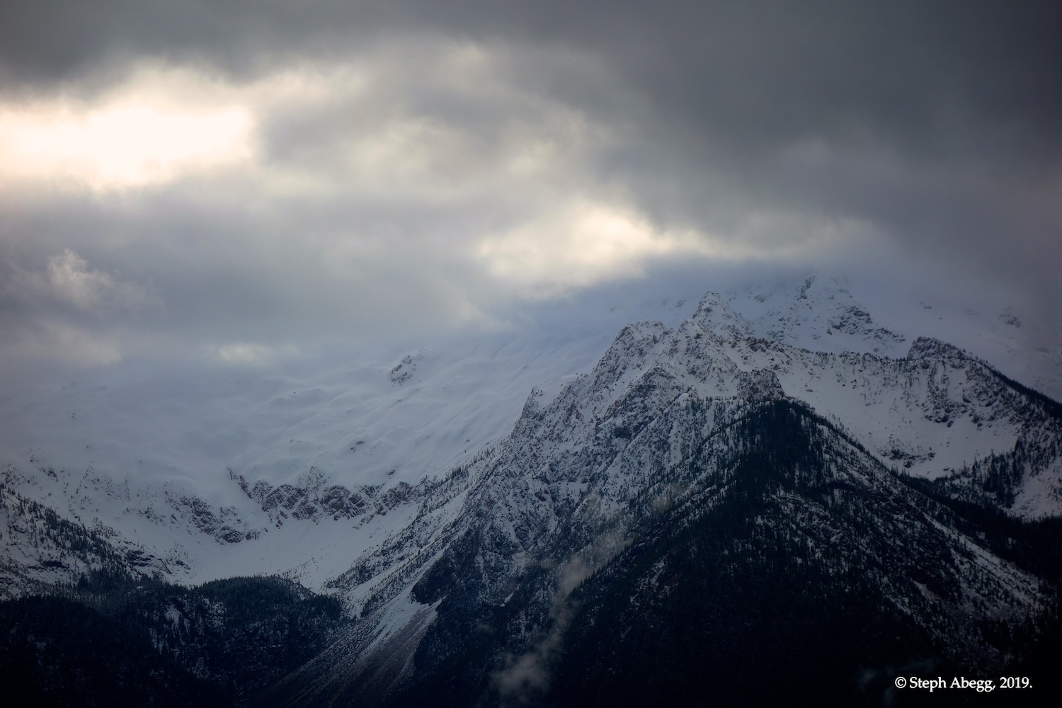
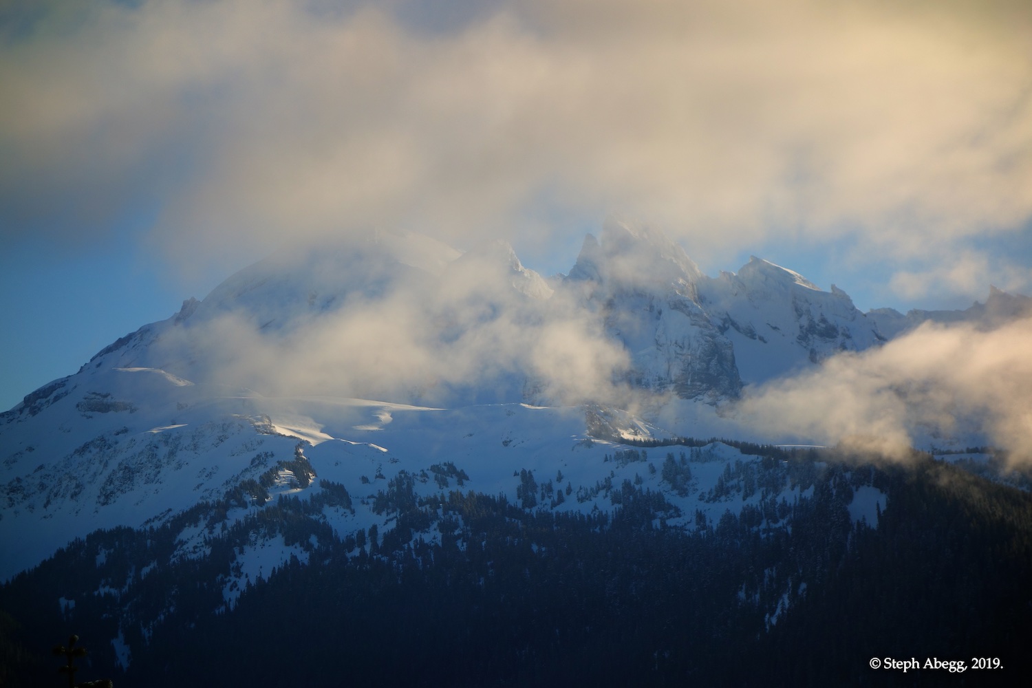
Cloudy view of the Twin Sisters during the descent.
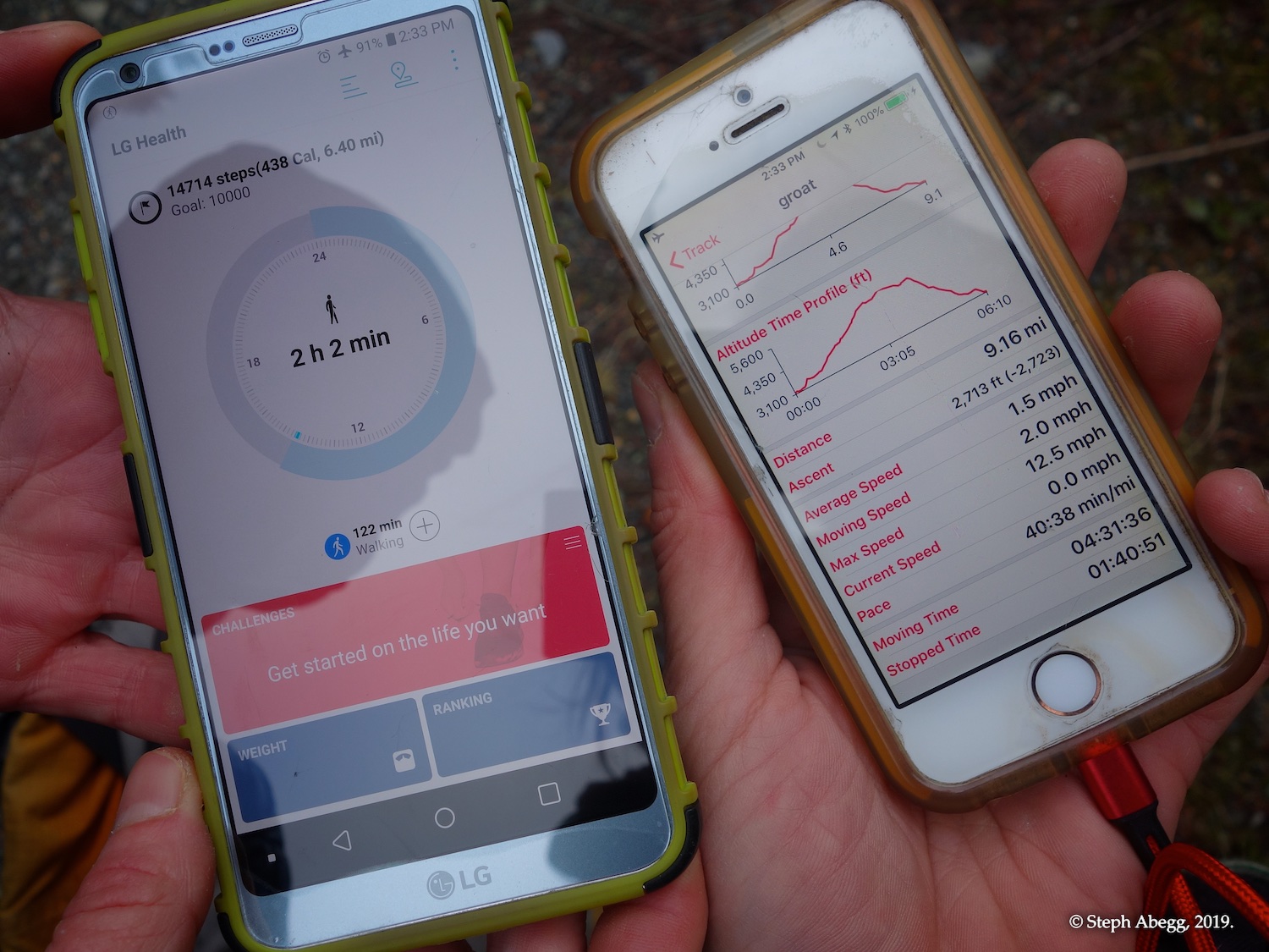
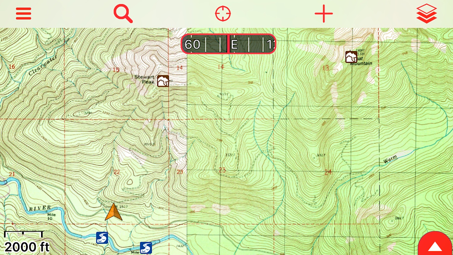
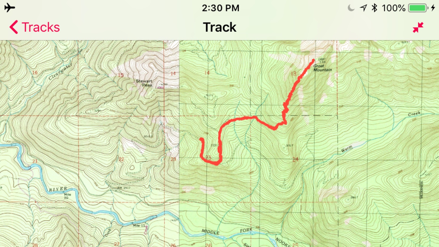
Comparing the GPS track stats. My GAIA app (on right) consistently reads too high of a mileage but seems fairly accurate for elevation gain/loss stats. Carla's phone's app (left) seemed more accurate for mileage but was way off for time.
Why my GAIA app gives consistently high mileages. I wish there was a way to set your max travel speed so that it wouldn't record points that are jumping so far out of range; or, alternatively, a way to set GAIA to record points less frequently, which would reduce such errors. Also, I've noticed that my phone's GPS often has difficulty locating satellites, so upgrading my phone to a newer model would probably help a bit too.

Comments Pertaining to this Page / Trip Report

Useful beta. Updated route information. Corrections. Historical notes. Interesting facts. No fluff please.
Leave a Reply

Your email address will not be published. Required fields are marked *