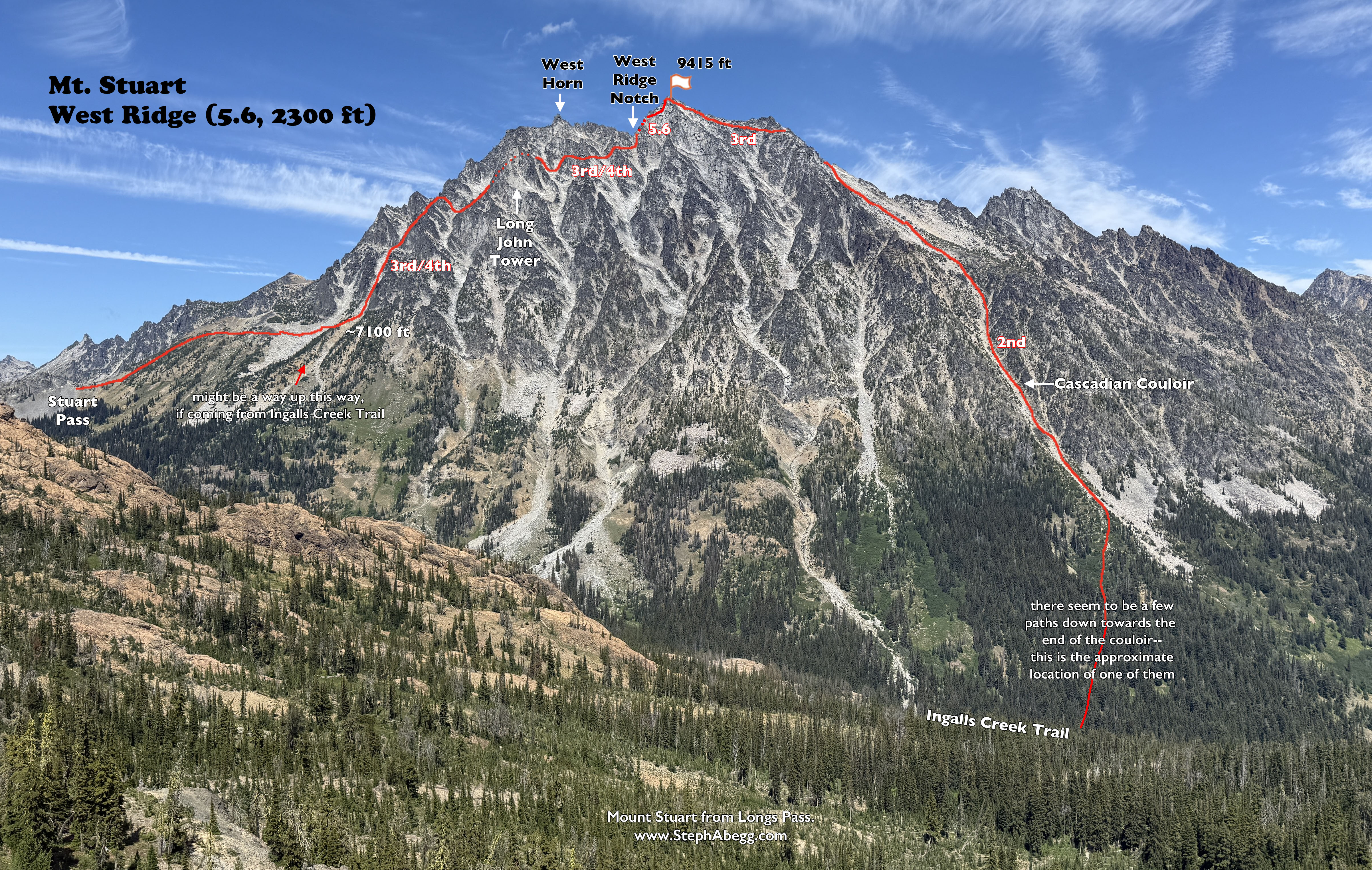
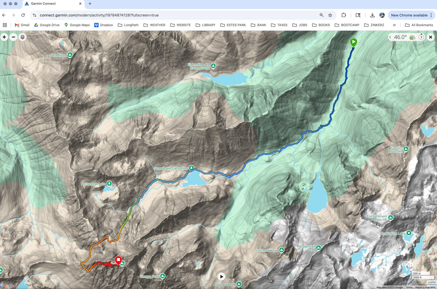
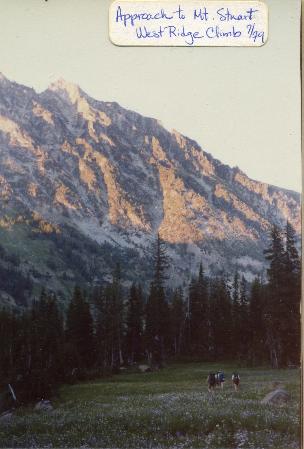
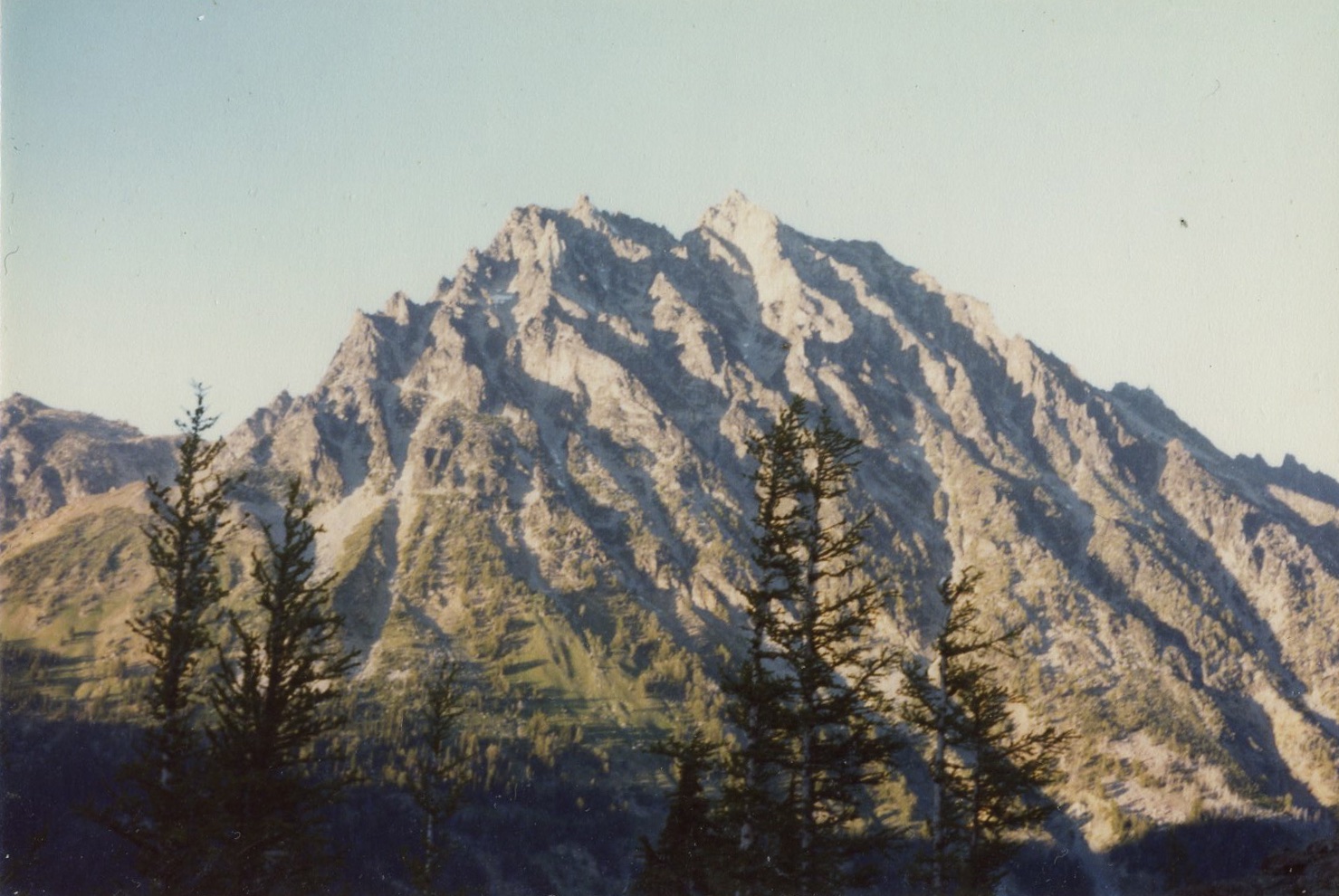
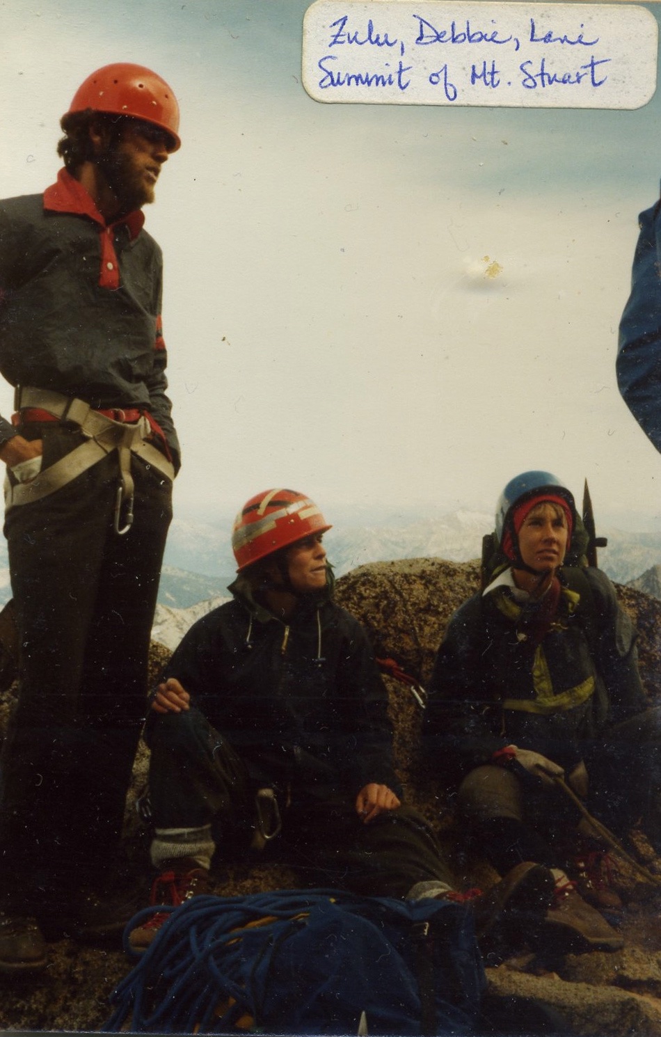
A true Cascade classic, the
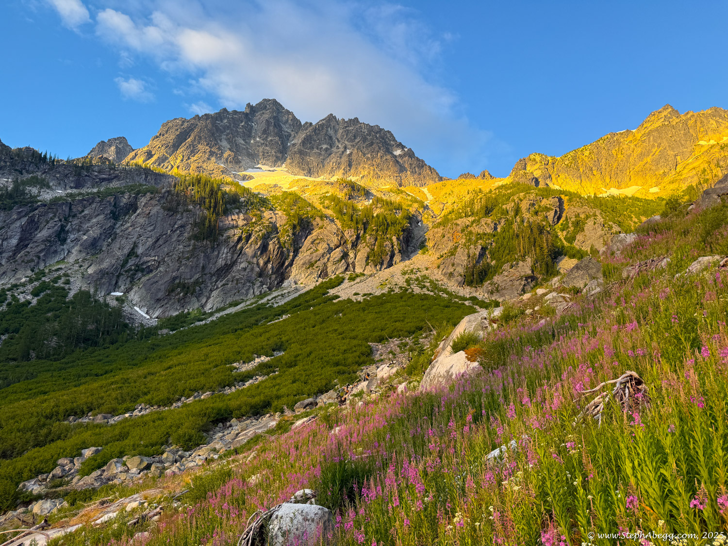
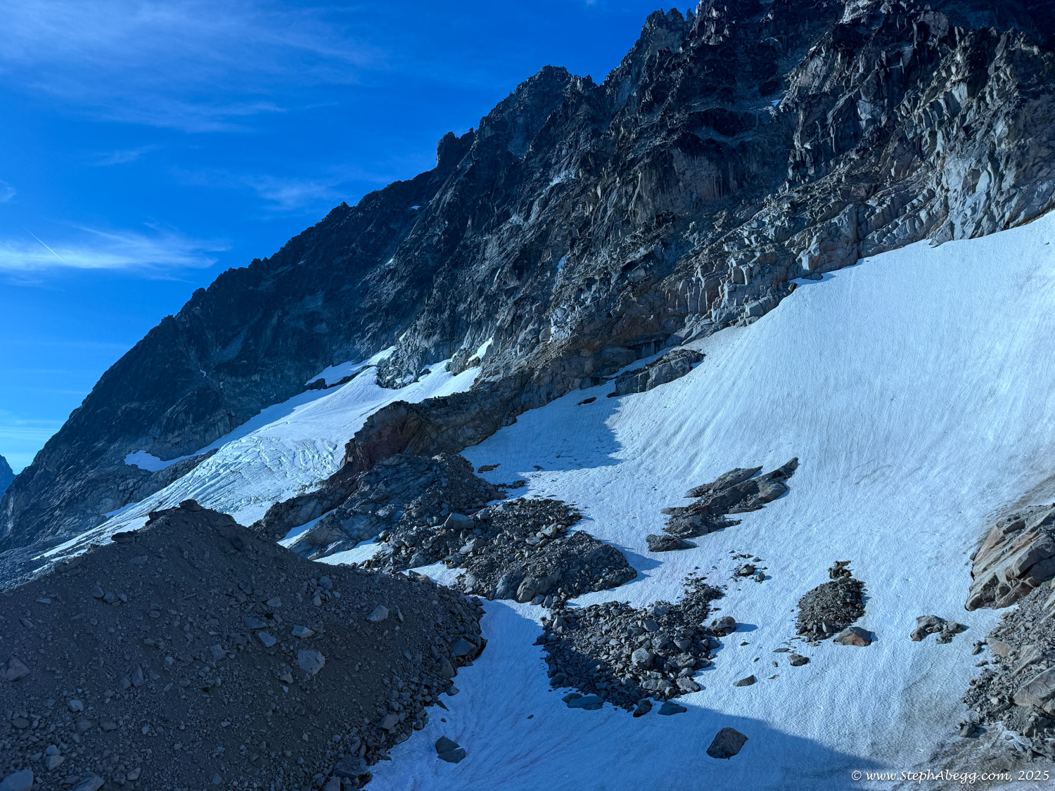
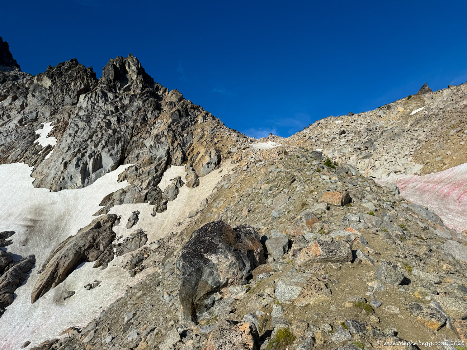
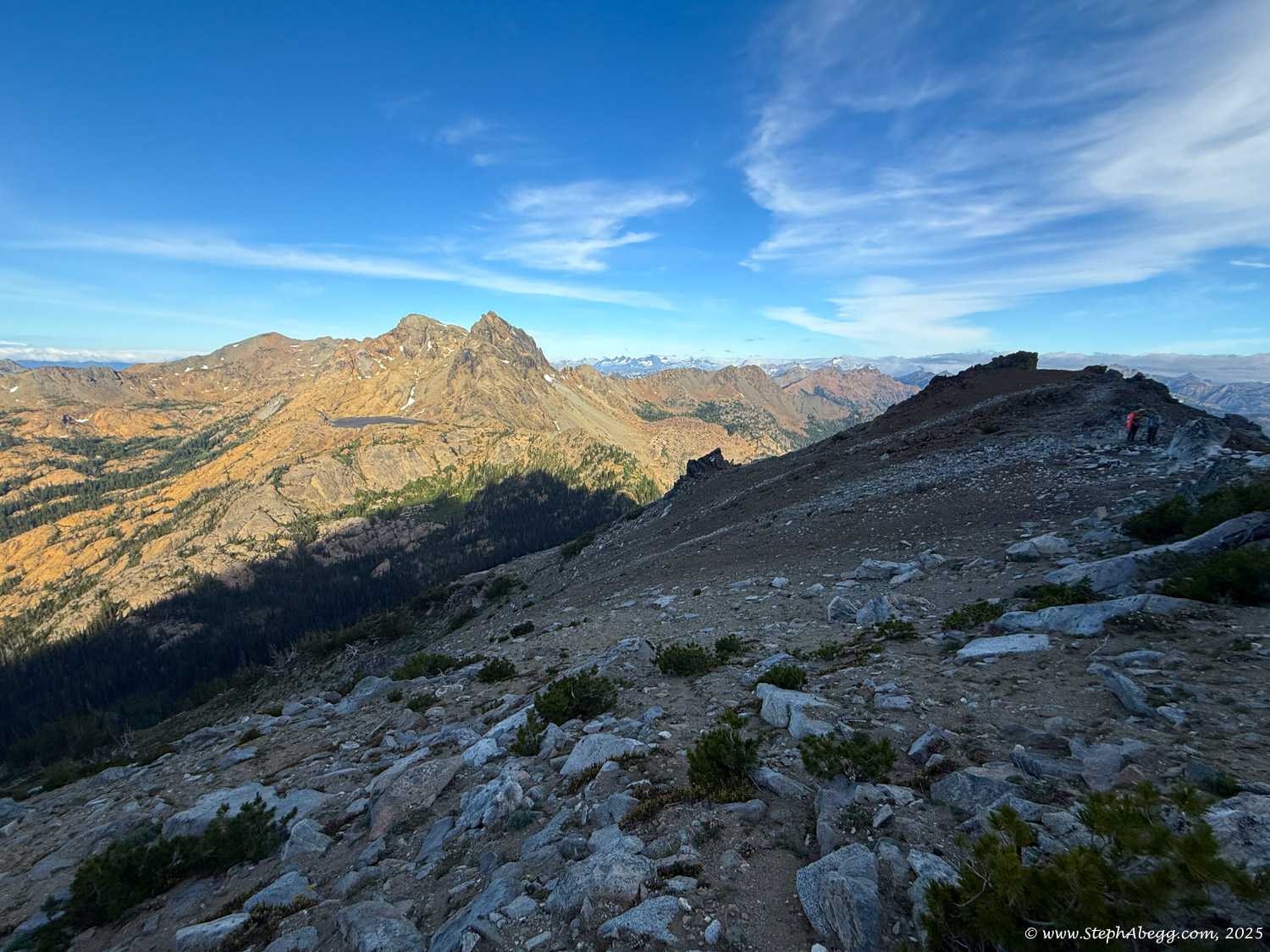
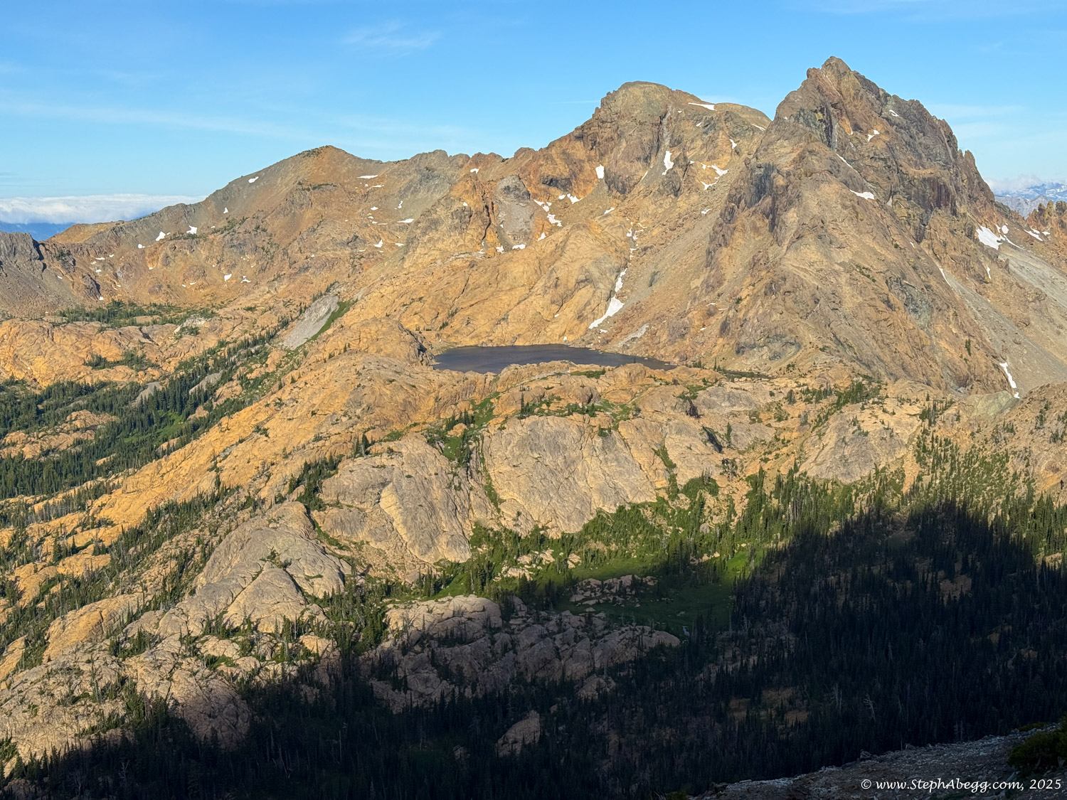
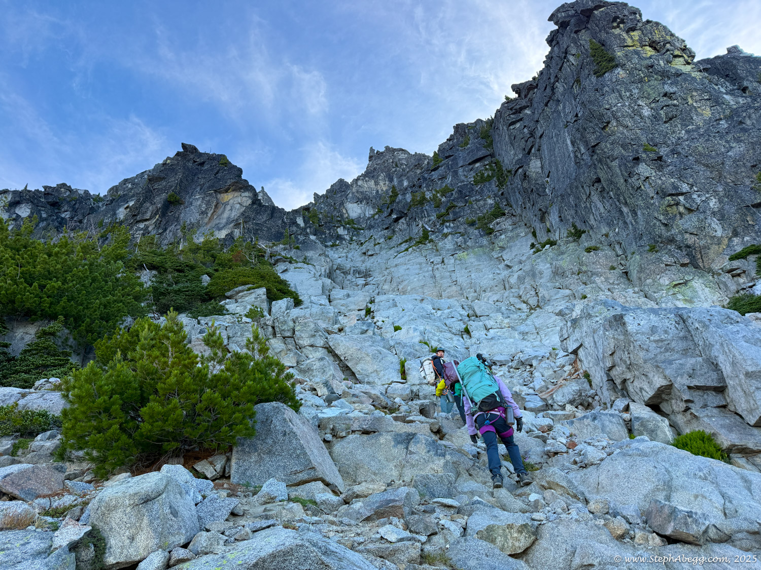
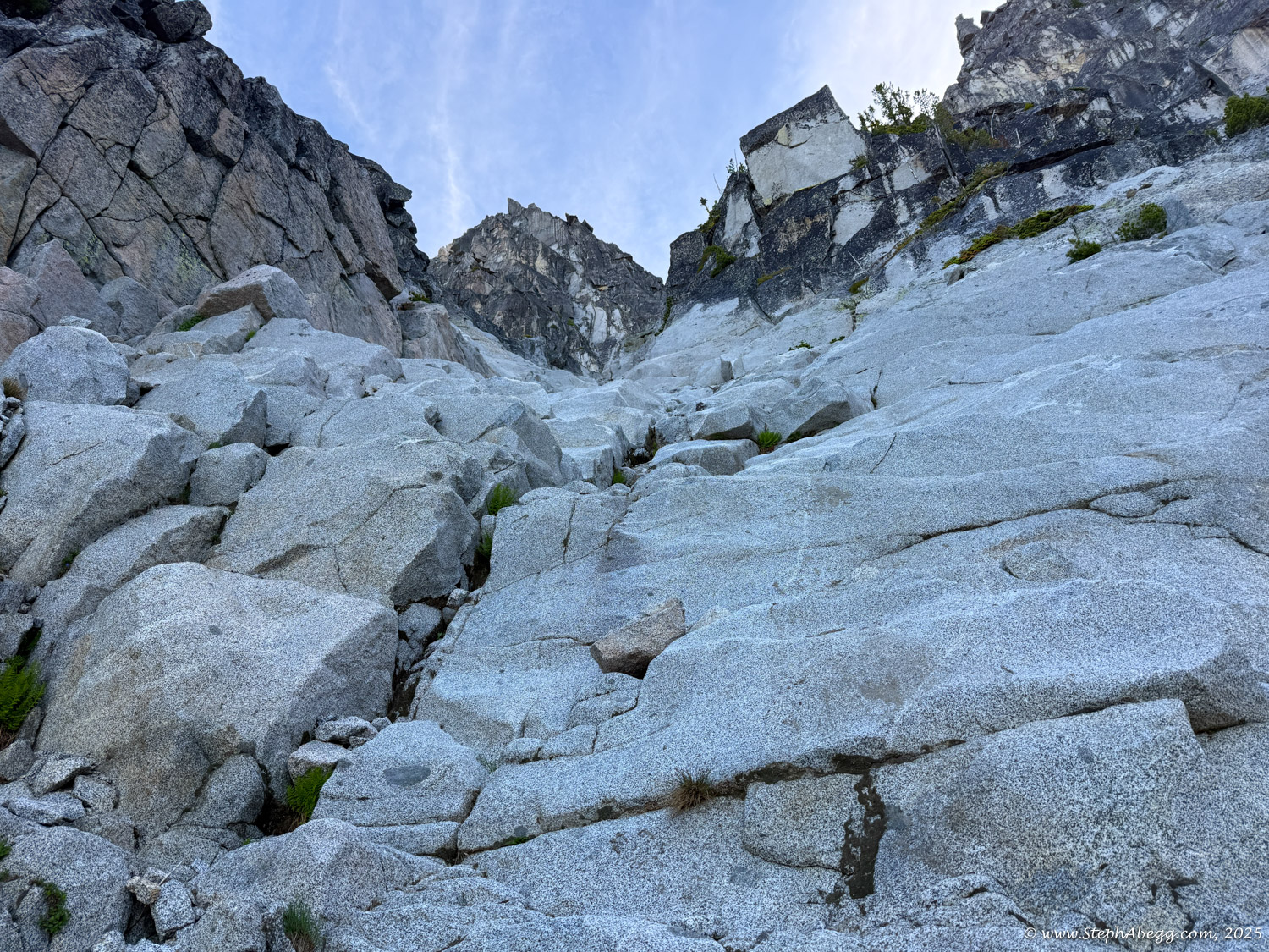
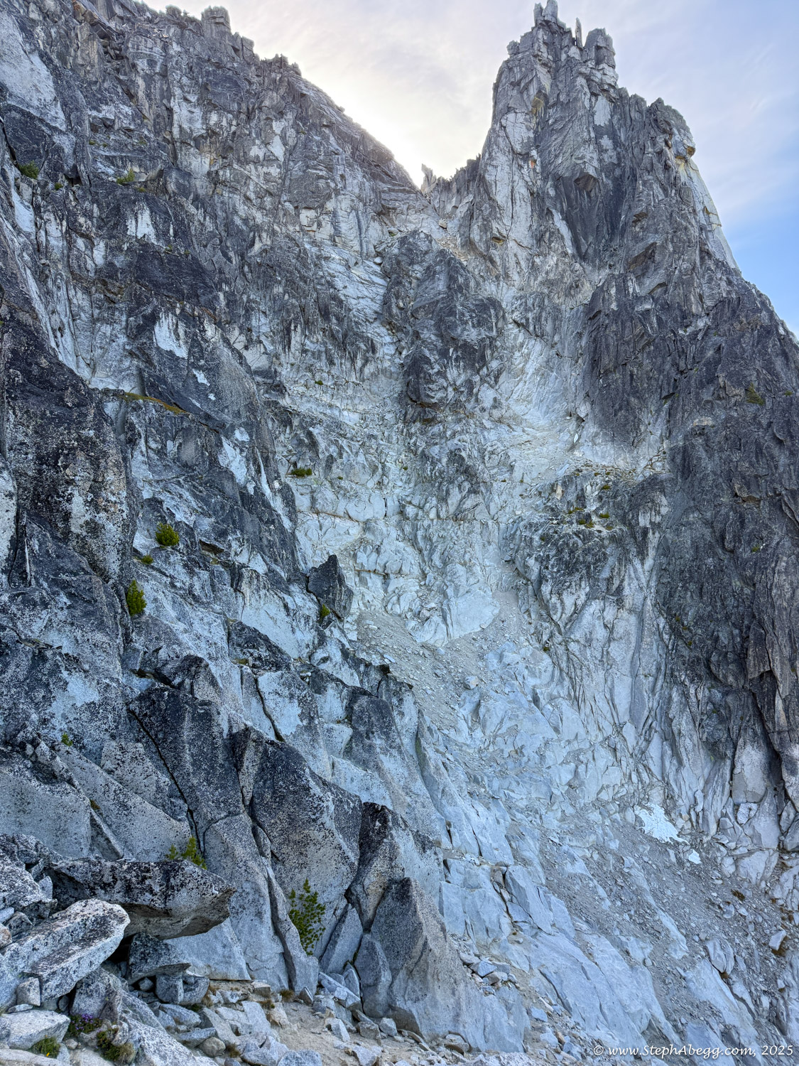
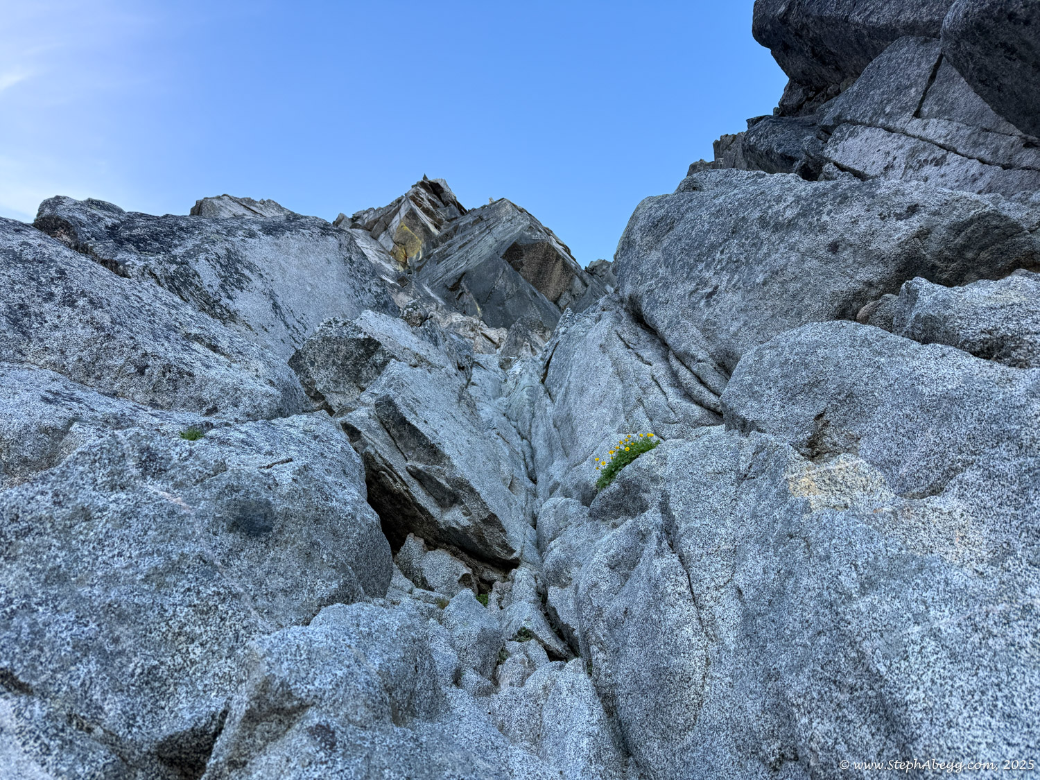
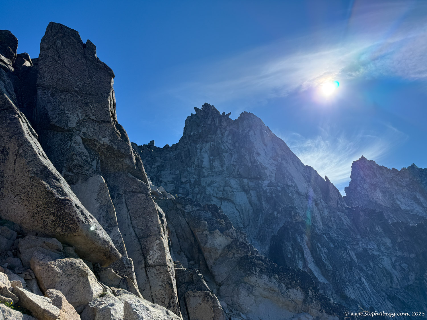
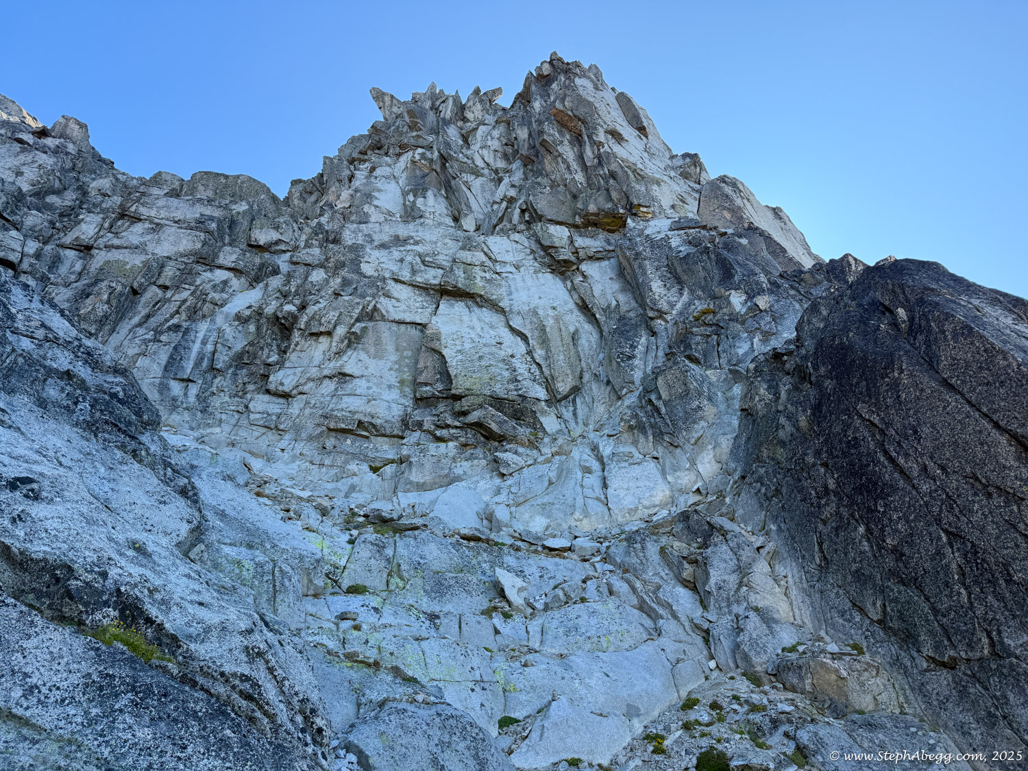
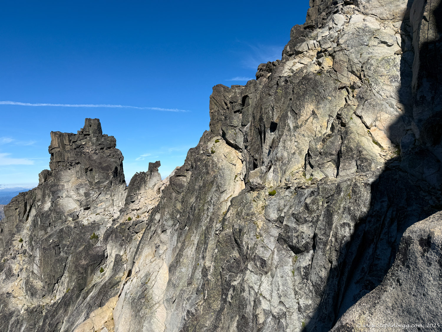
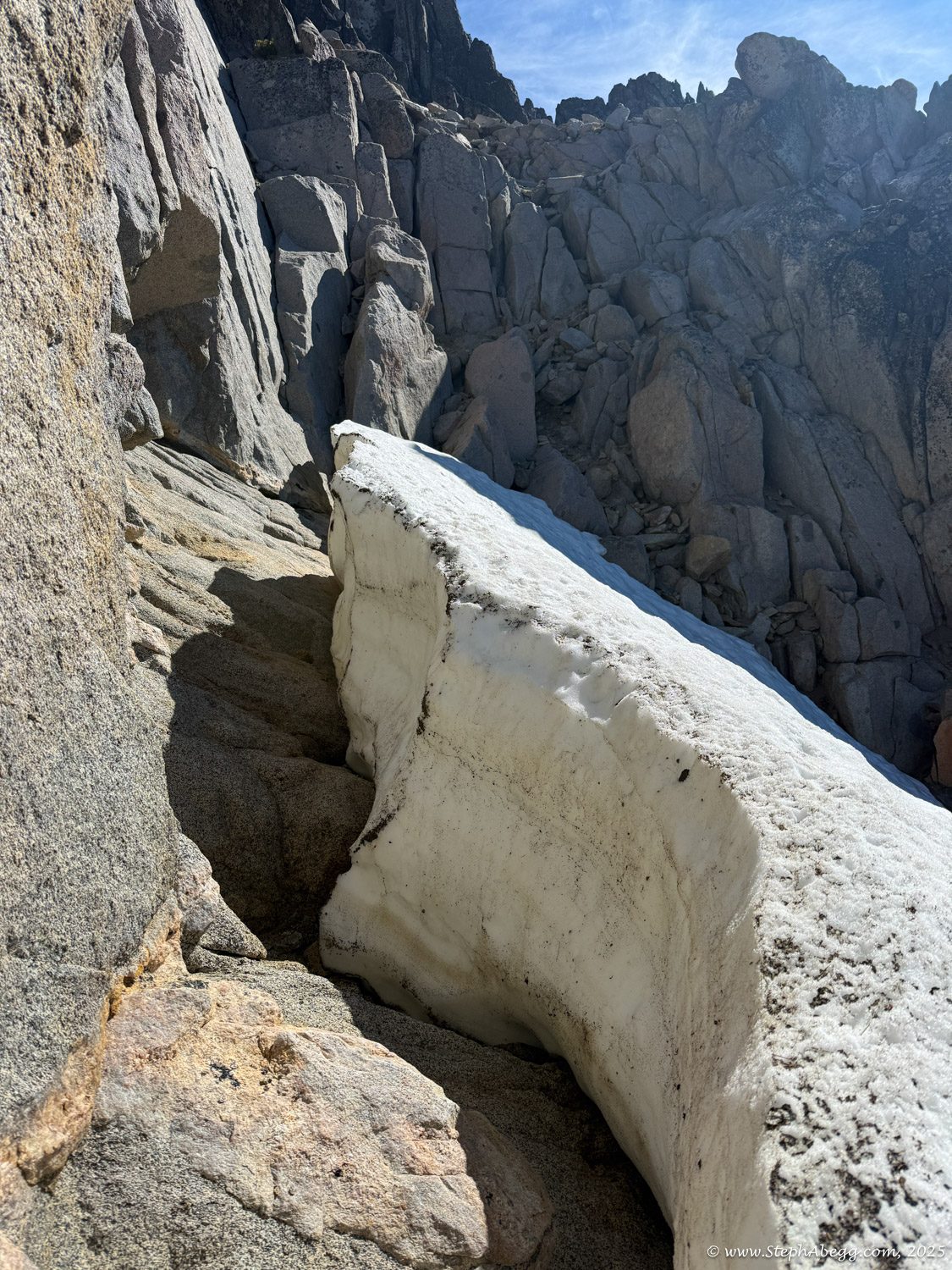
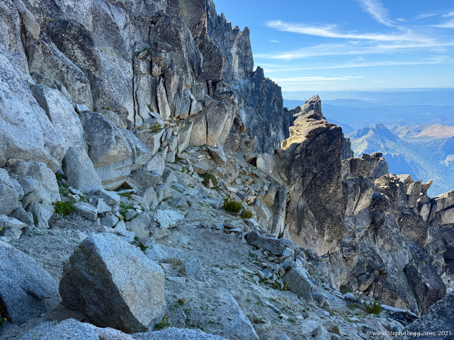
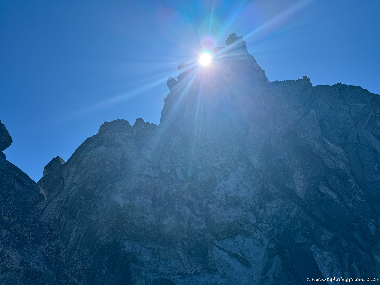
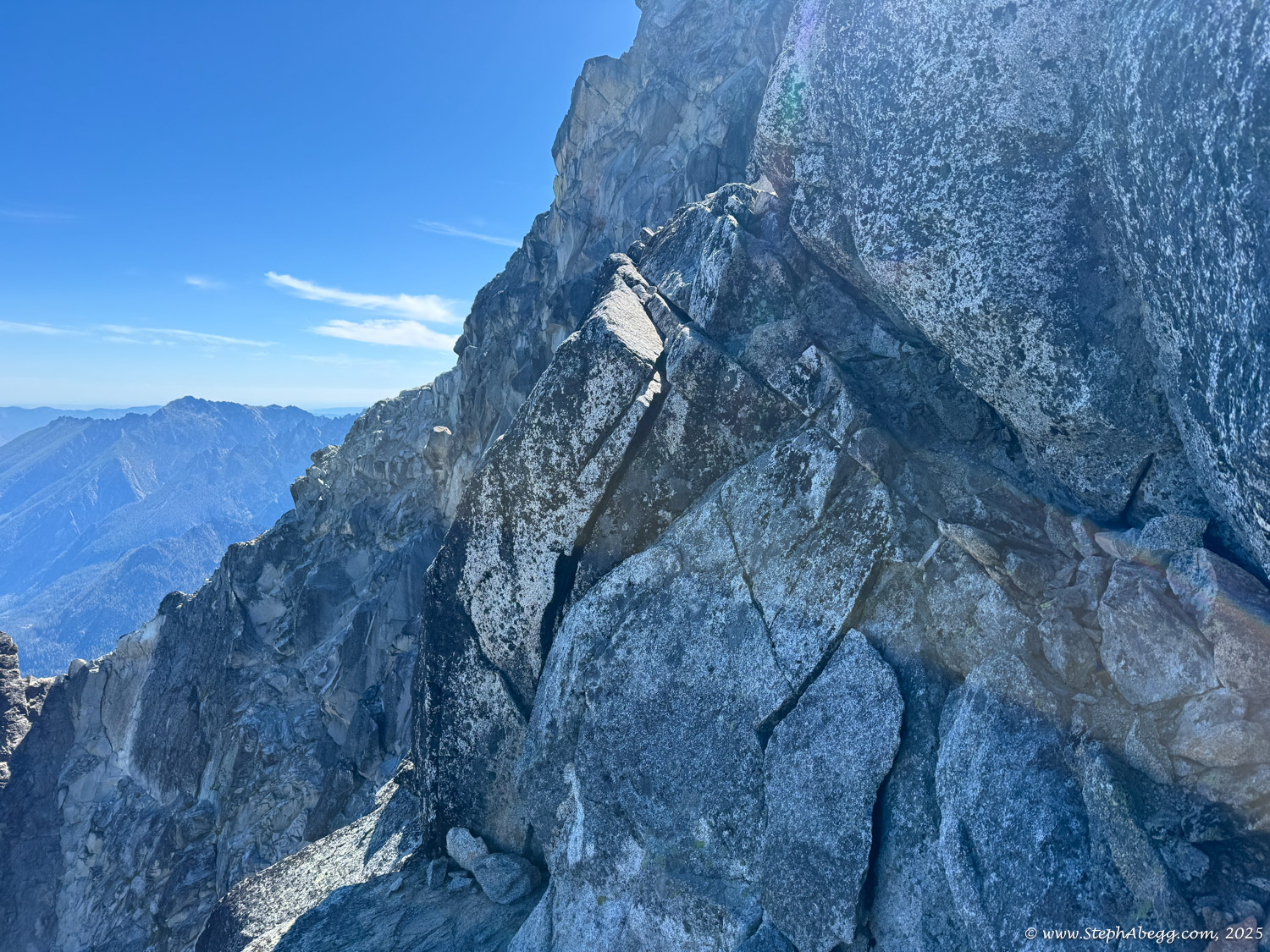
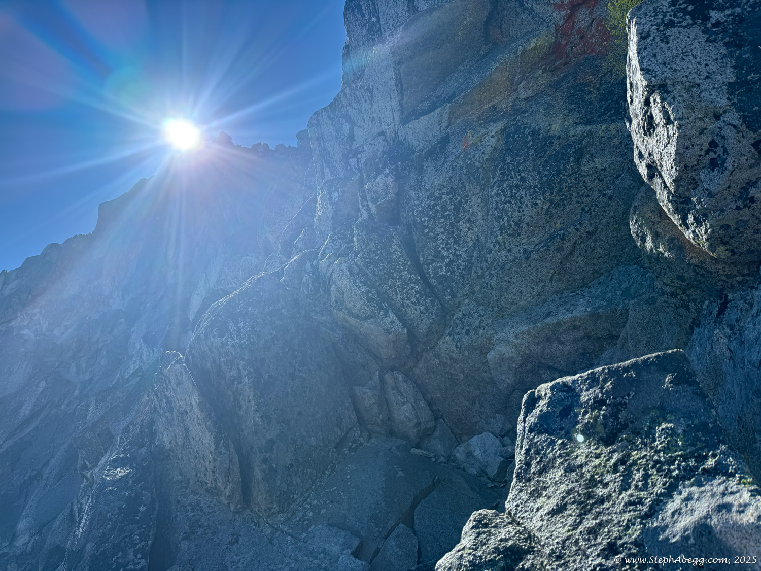
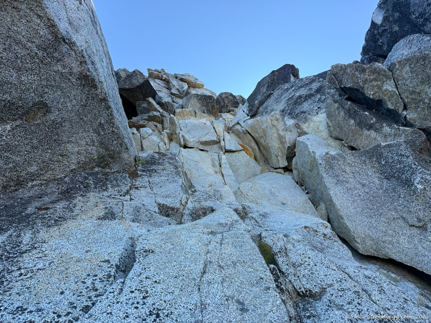
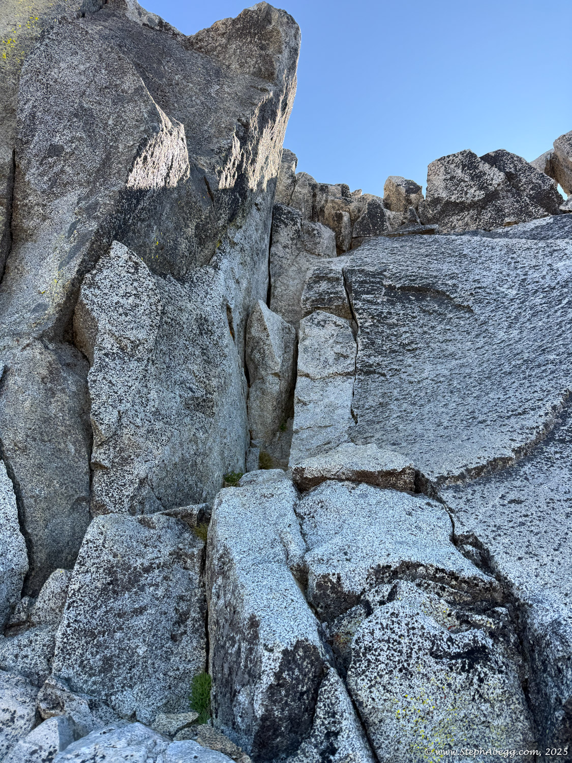
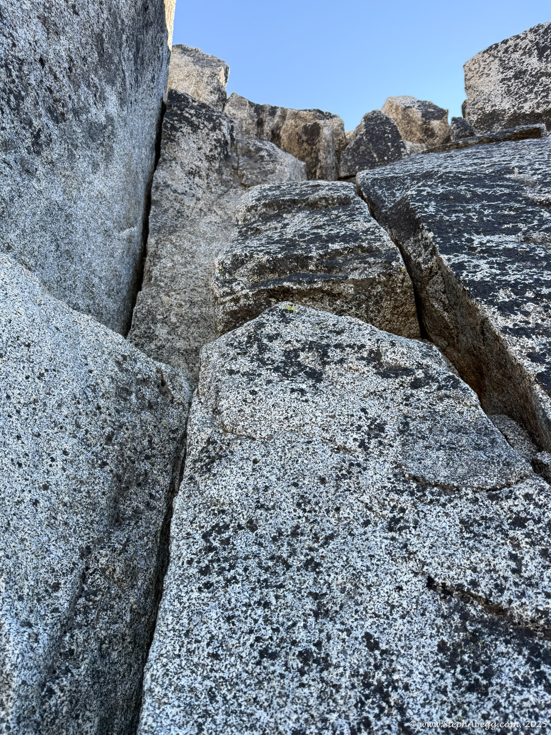
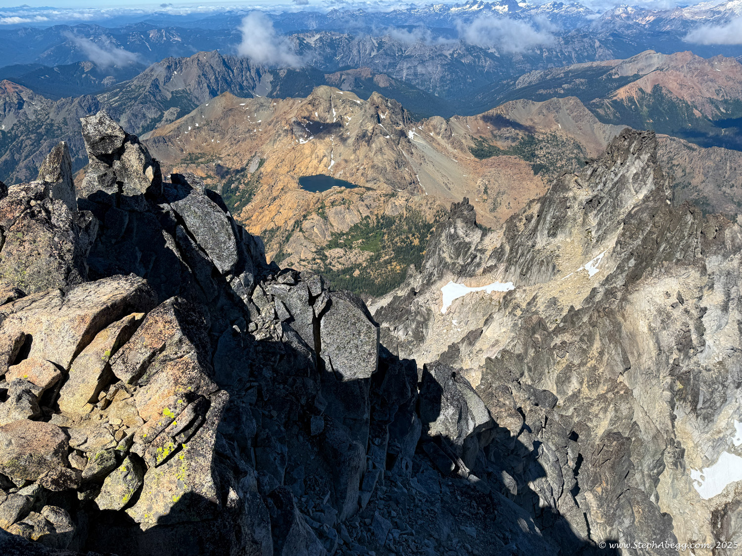
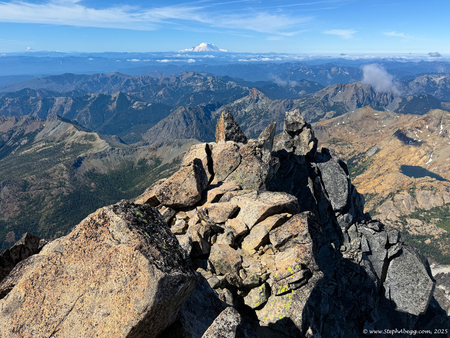
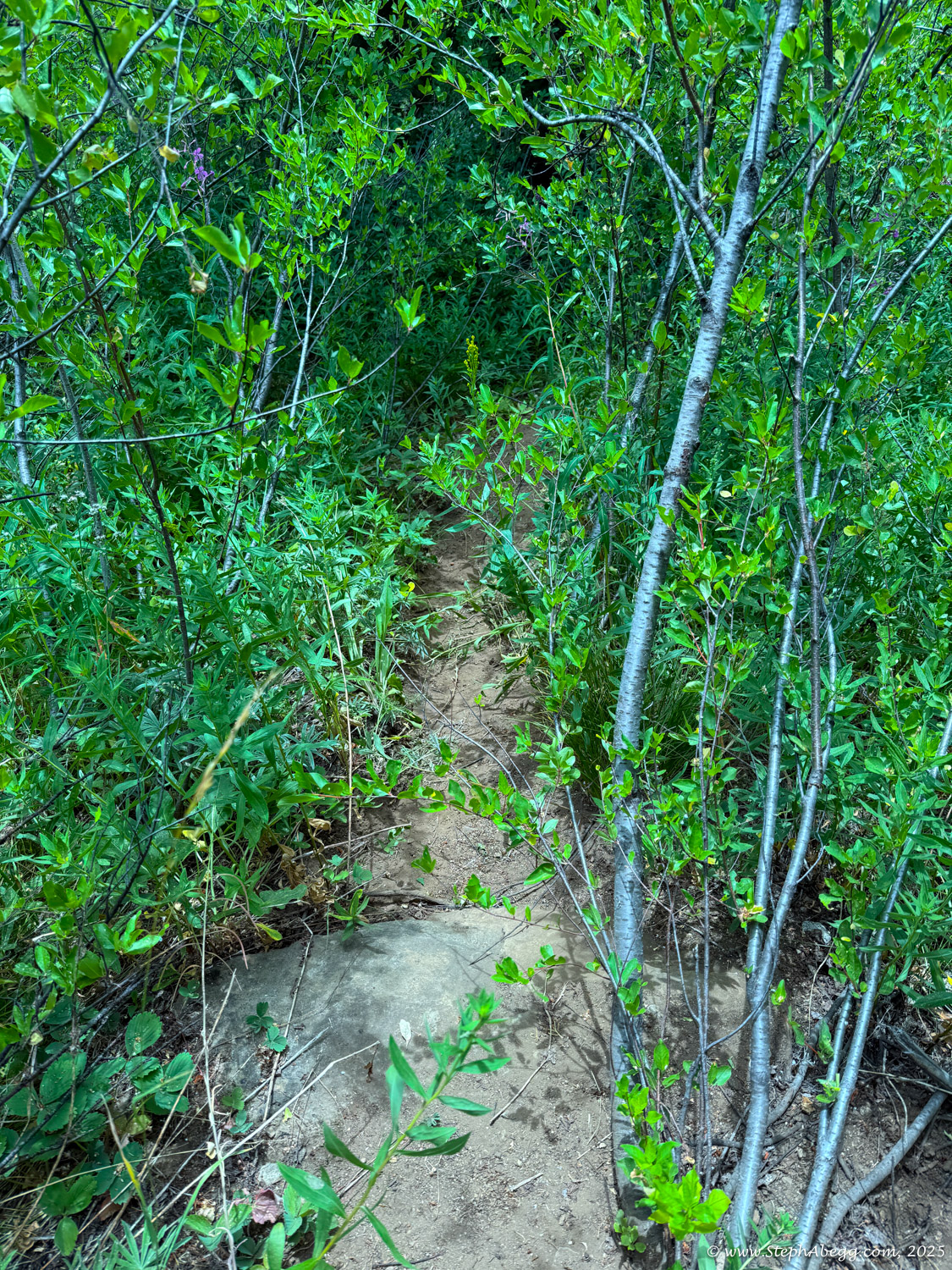
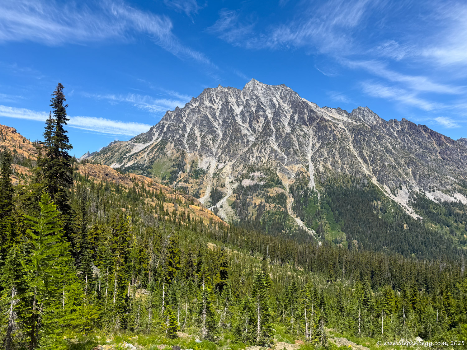
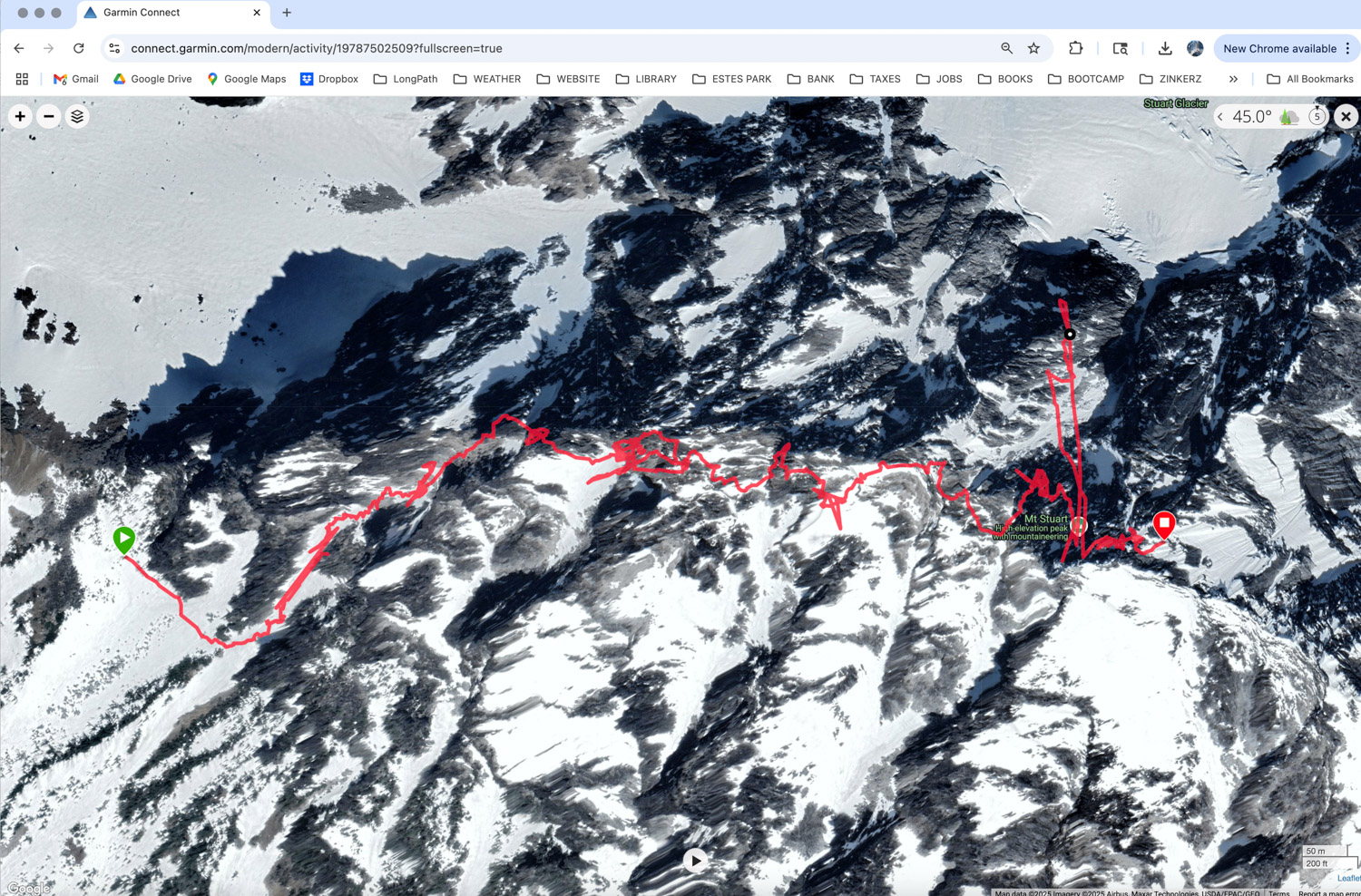
West Ridge of Mount Stuart is a long, moderate ridge climb featuring 2300 vertical feet of scrambling on excellent granite leading to a major summit. Most of the route consists of solid 3rd and 4th class terrain, making it an appealing objective for soloists or teams moving together. Many parties bivy along the route and complete the trip in three days. Unlike many Cascade ridge climbs, the rock quality here is consistently good.
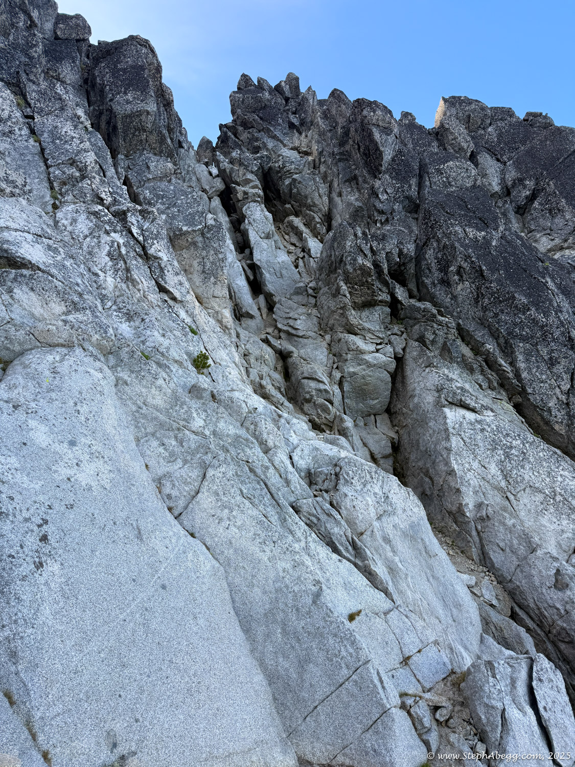
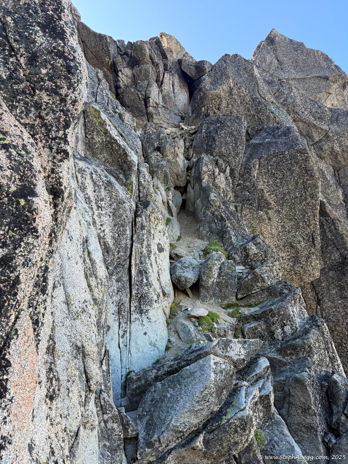
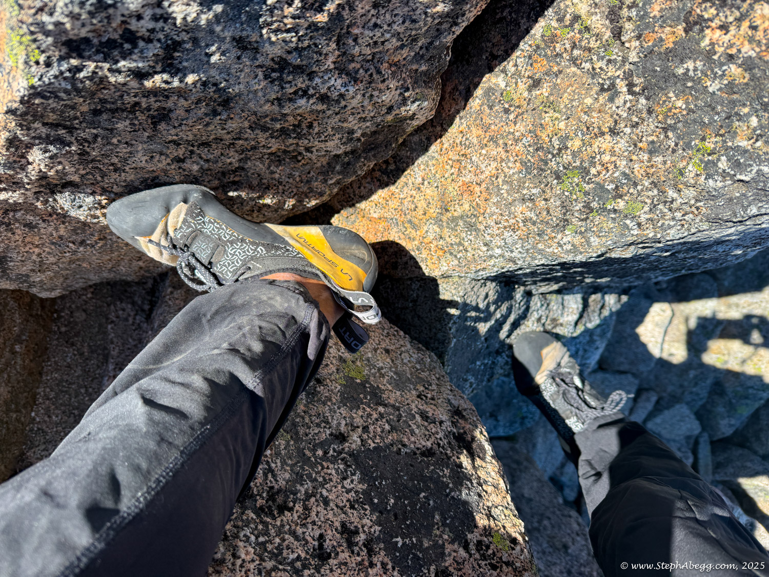
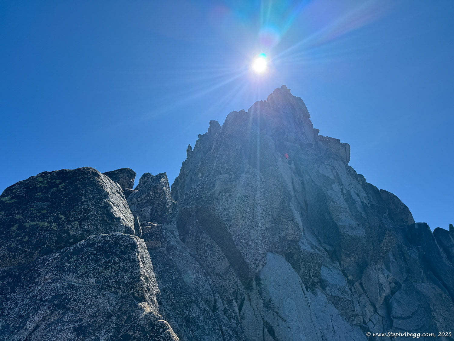
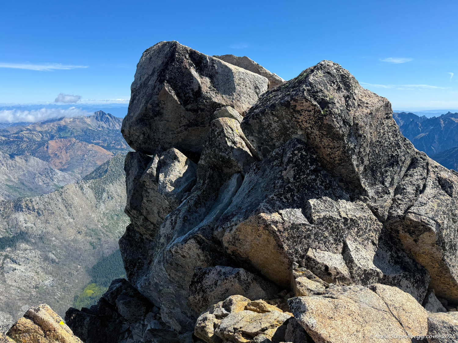
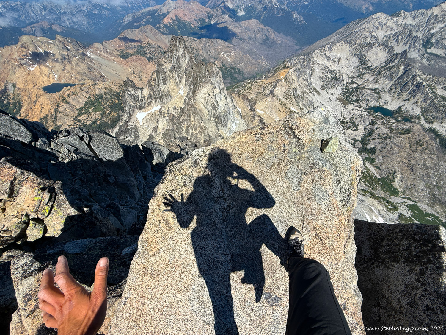
The technical crux—rated 5.6—comes high on the route at the summit pyramid, as a couple of short, manageable steps. I had planned to solo the climb and found the crux surprisingly mellow for the grade: not too exposed, with solid holds and intuitive movement. With some careful route-finding—which, in my opinion, is the real theme and main challenge of the climb—the rest of the route stayed mostly in 3rd and 4th class terrain. I passed four other parties along the way, and likely more reached the ridge after me—it's clearly a popular climb.
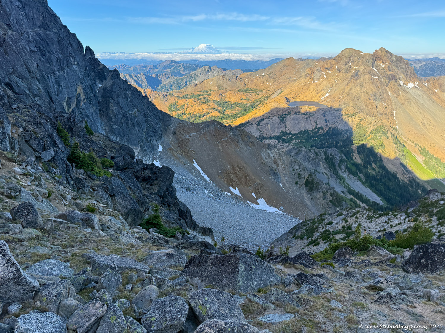
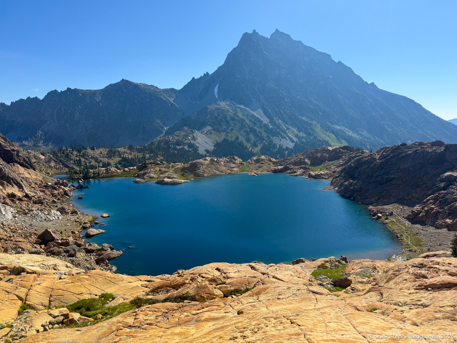
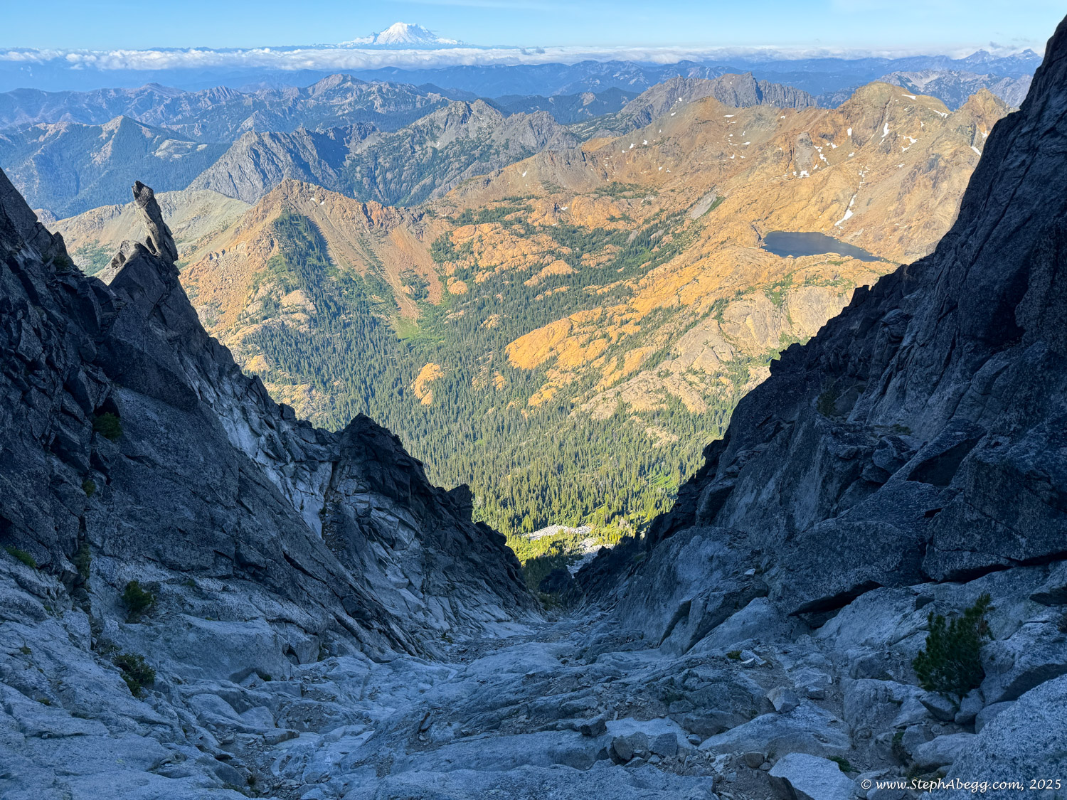
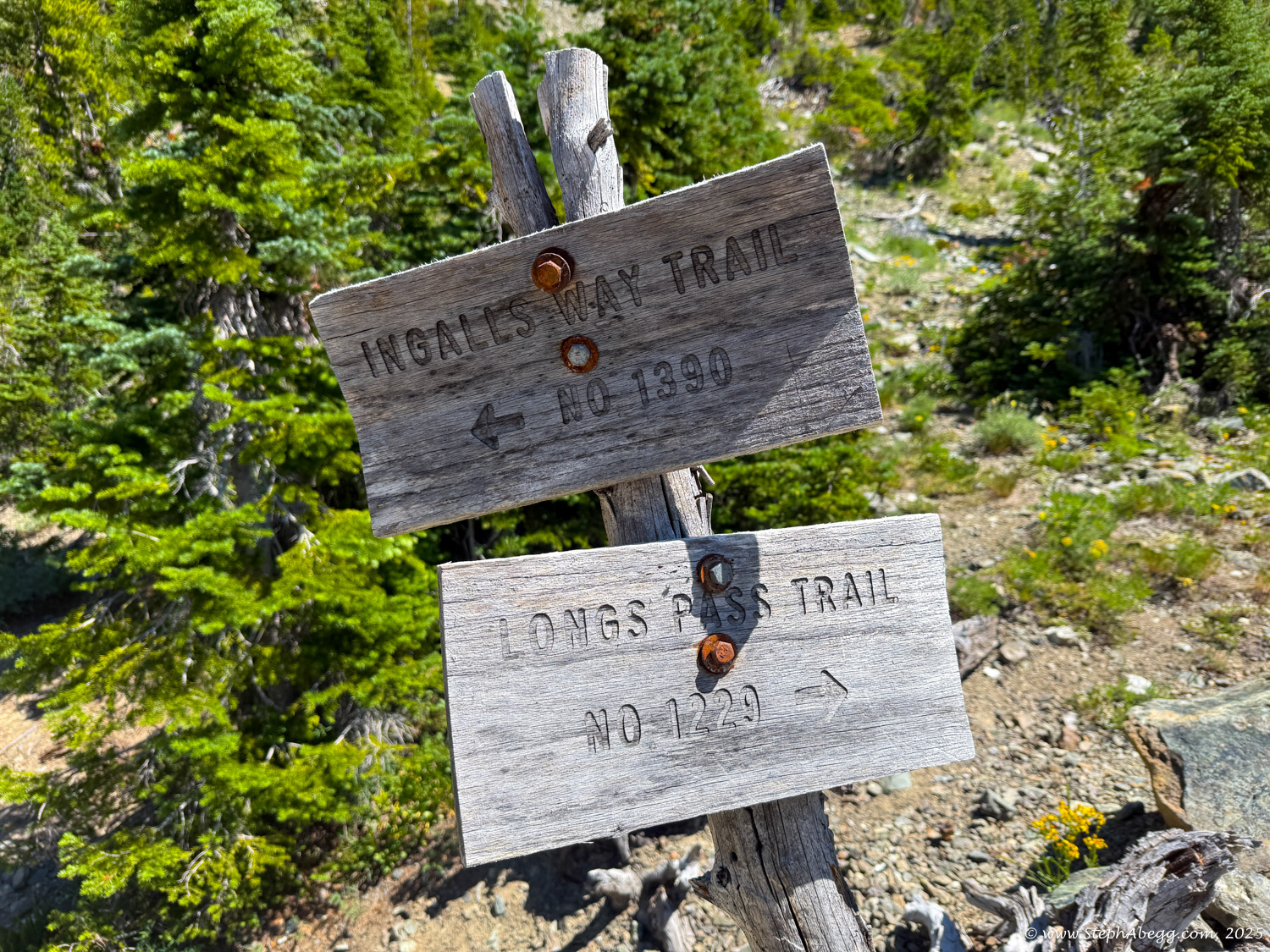
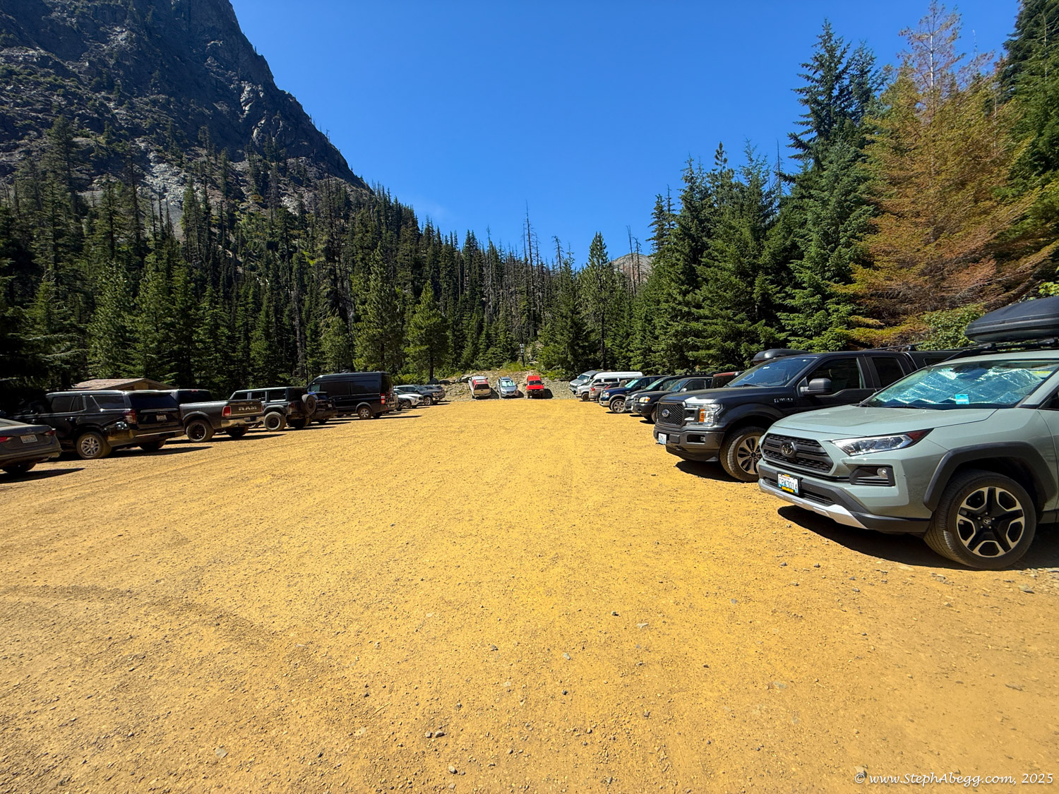
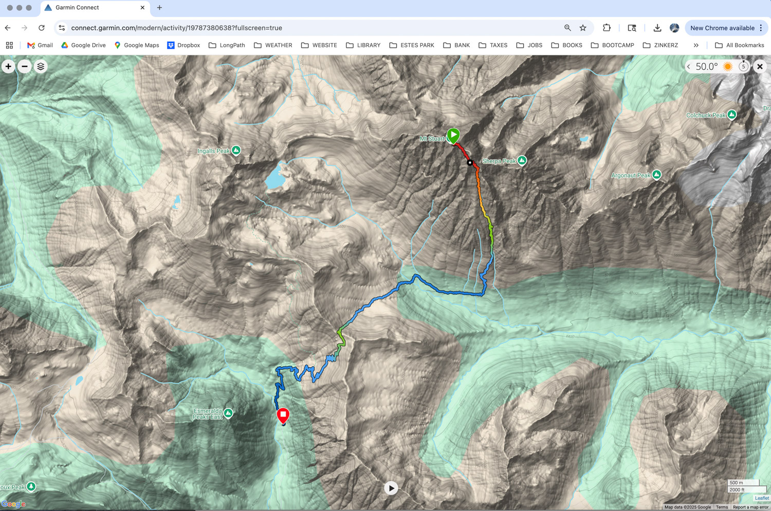
Since I was based in Leavenworth, I approached via the Stuart Lake Trailhead, loosely planning to either downclimb the ridge or descend the Cascadian Couloir and hike back to Stuart Pass to loop around to the north side. In hindsight, a little more planning would have revealed that the Ingalls Lake approach from the south—despite requiring a 1.5-hour drive—would have made for a much more efficient round trip, both in terms of approach and descent. (Curious, I hiked to
Lake Ingalls and scrambled up Ingalls Peak a few days later, and indeed it would be an easier and quicker approach to the
West Ridge of Stuart.)
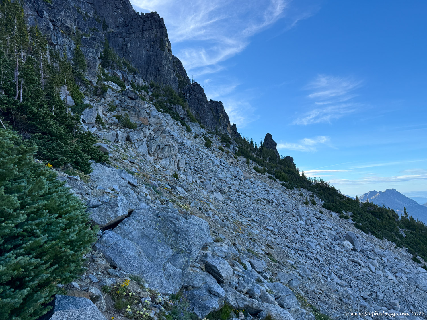
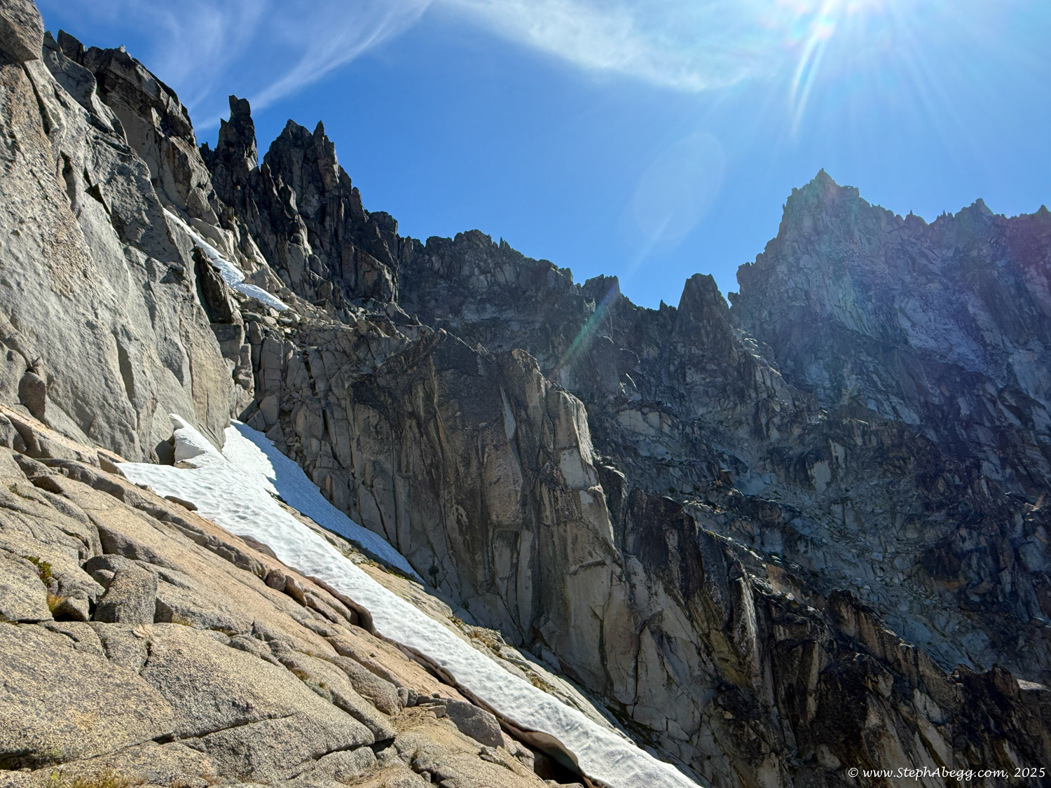
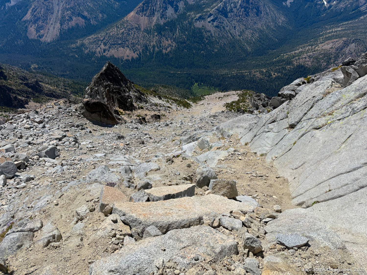
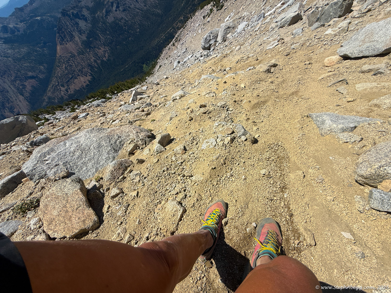
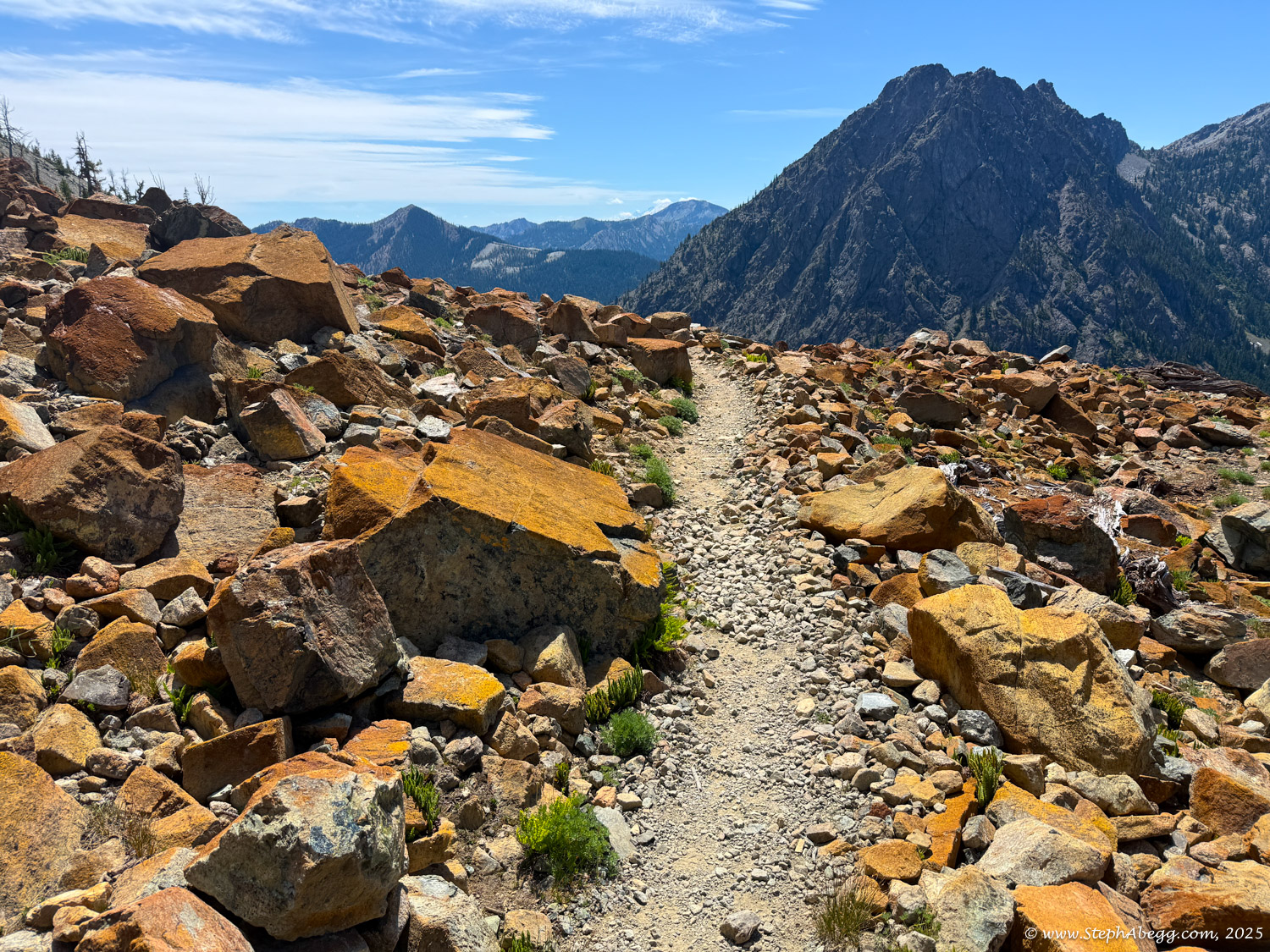
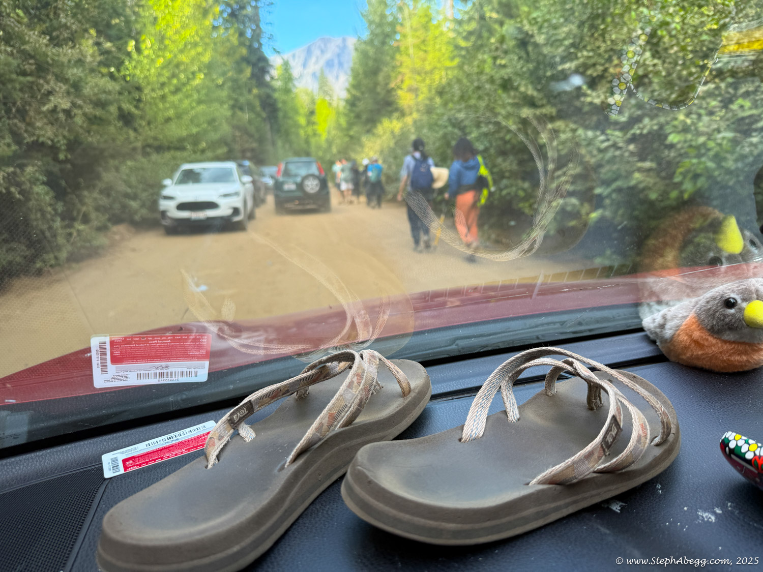
While climbing, I was aware of other parties both above and below me. A few loose sections posed rockfall hazards, which made me hesitant to downclimb the ridge—even though it's a solid route by alpine standards, it's still alpine terrain. Not wanting to endanger others or myself, I opted to descend the Cascadian Couloir and hike out to the Esmeralda Trailhead. This added a long drive complication—I had no car at Esmeralda, and Leavenworth was seventy miles away.
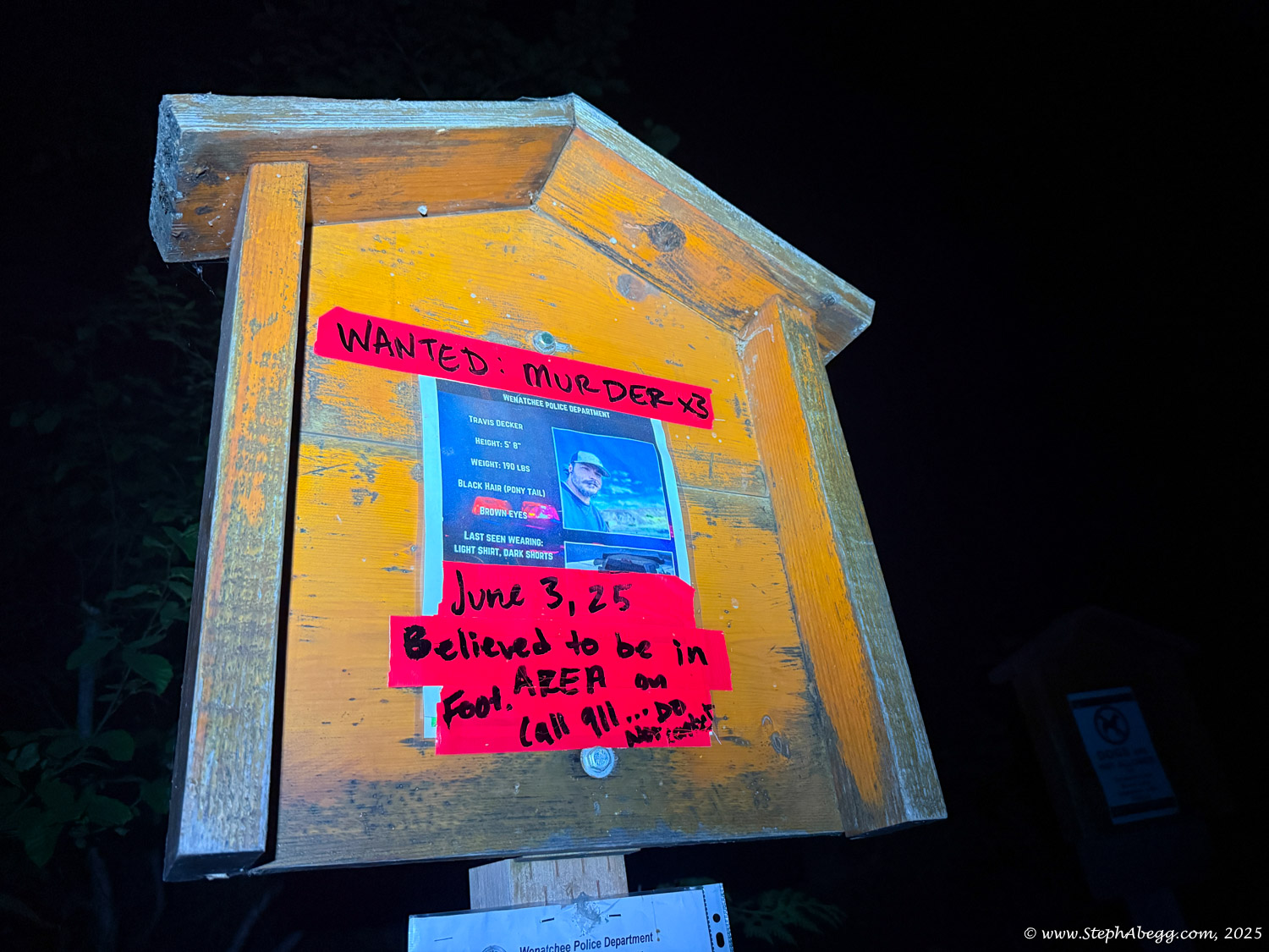
After reaching the trailhead—just under 12 hours after leaving Stuart Lake (it could’ve been a couple hours quicker had I started from the south side)—I lingered near the trailhead sign, hoping to catch a ride. Within 25 minutes, Alan from New Hampshire showed up. Not only was he happy to help, but he generously offered to drive me all the way back to Leavenworth, even though it added time to his own trip to Seattle. The ride passed quickly as we chatted about everything from jobs and unemployment to renting versus selling, hitchhiking stories involving a rolling car, mountain prominence, climbing fourteeners, stock trading, specks of dust, and more.
Back in Leavenworth, I rallied my friend Nate and borrowed my sister’s car to retrieve my vehicle from the Stuart Lake Trailhead. Huge thanks to both Alan and Nate—and to Jenny, who wasn’t home to ask but I’m sure would have gladly lent me her car, as we’d both done so in the past—for helping me close the loop on a great day in the mountains.
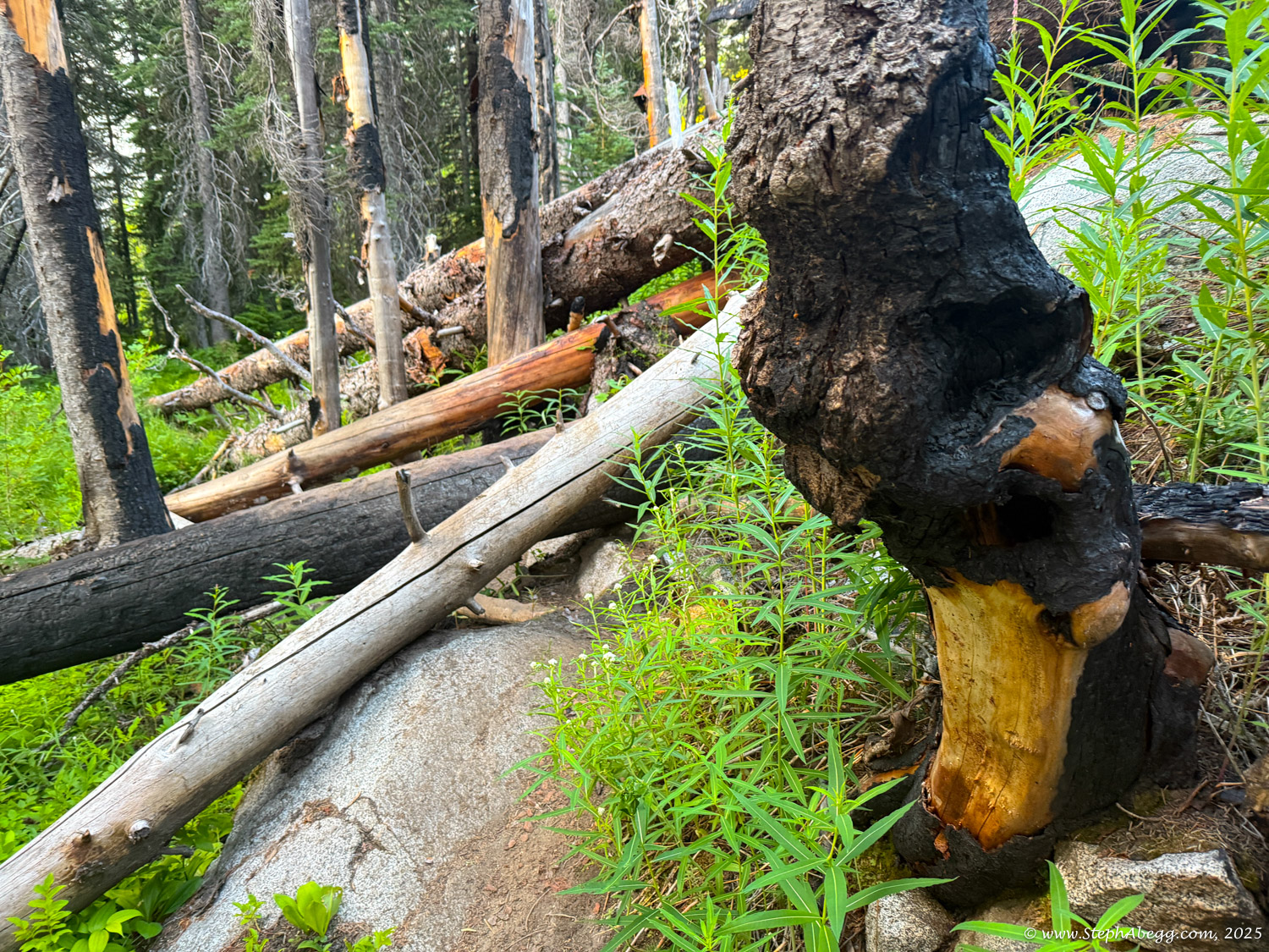
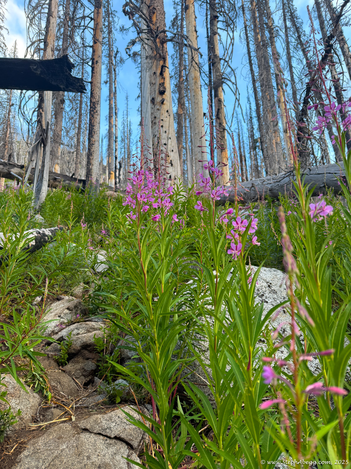
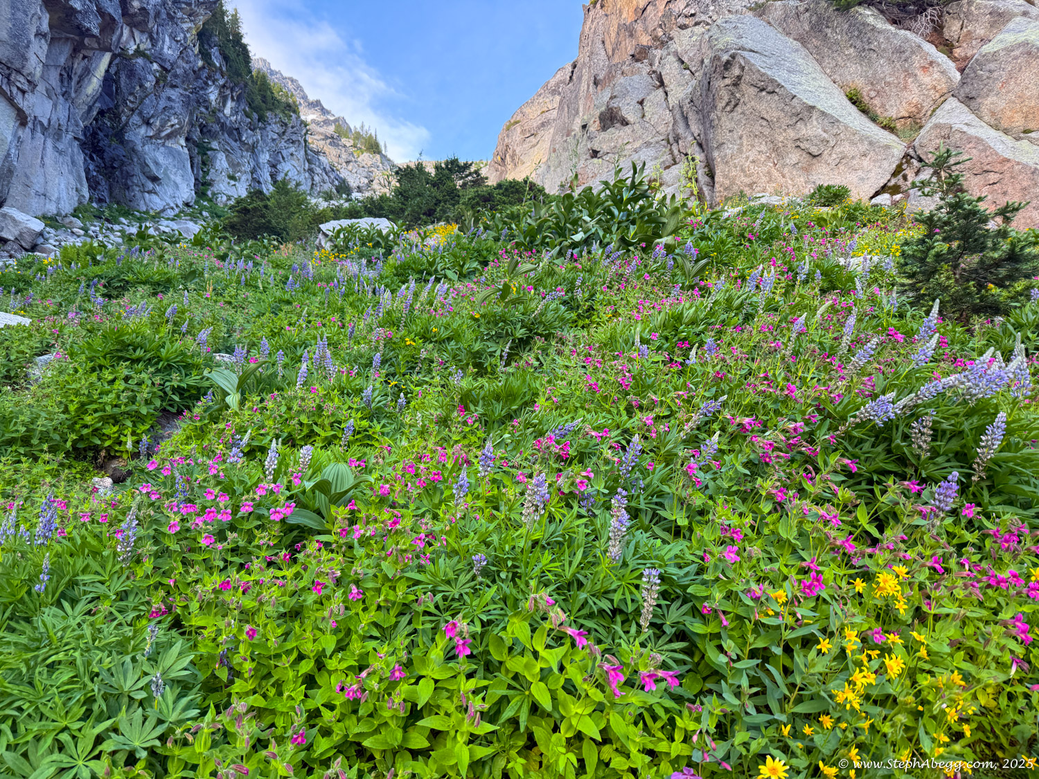
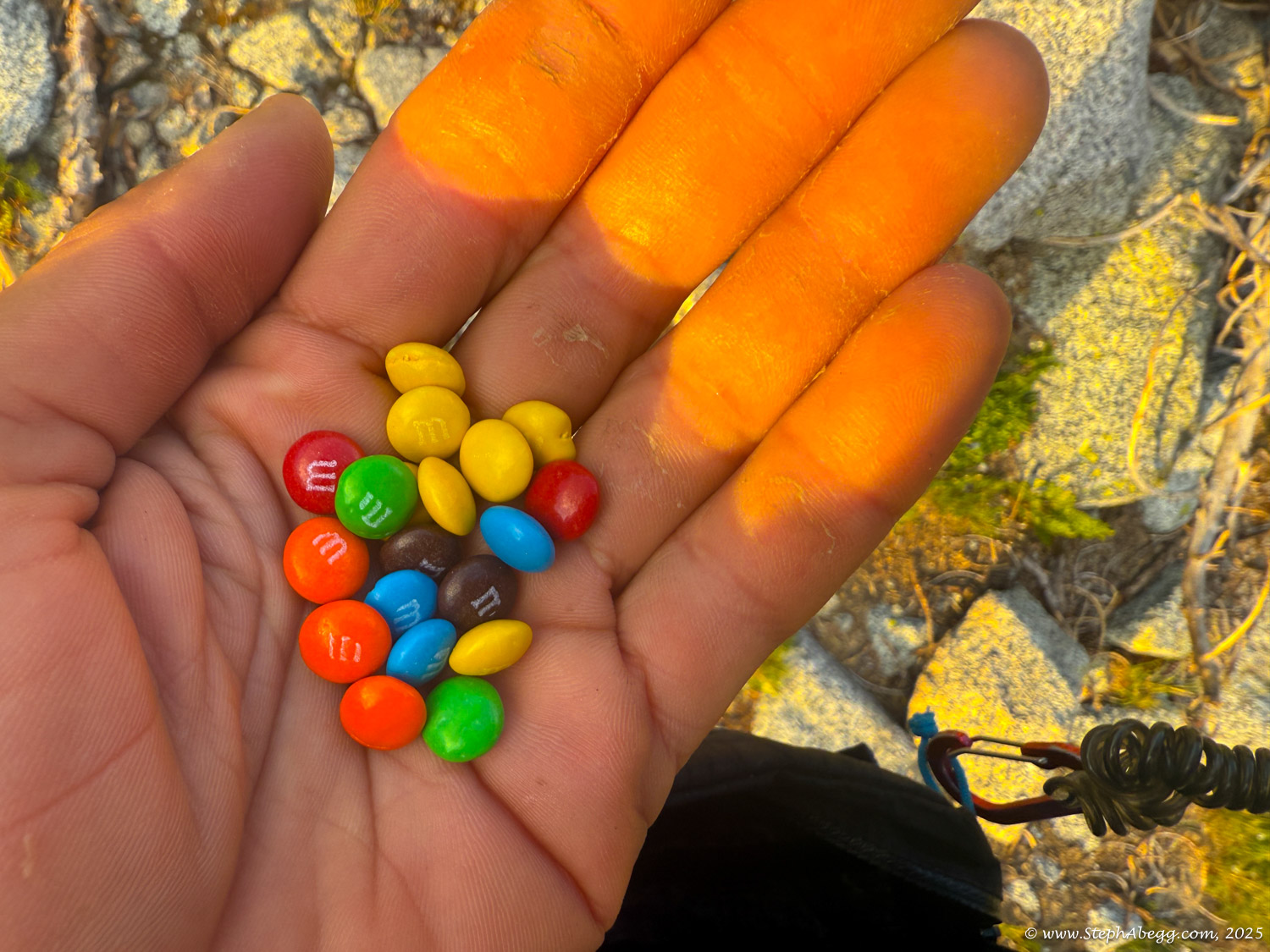
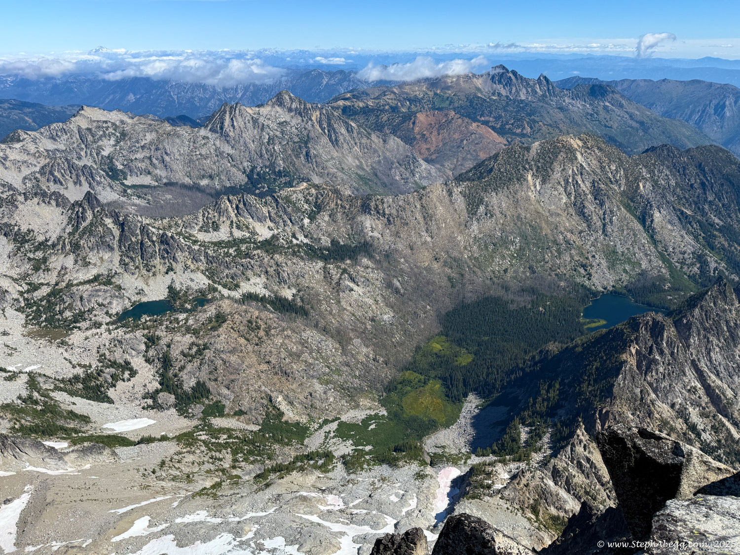
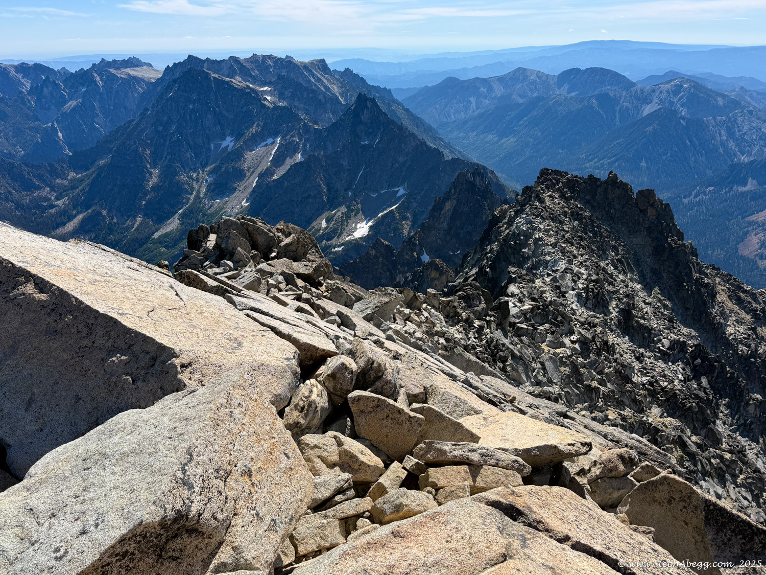
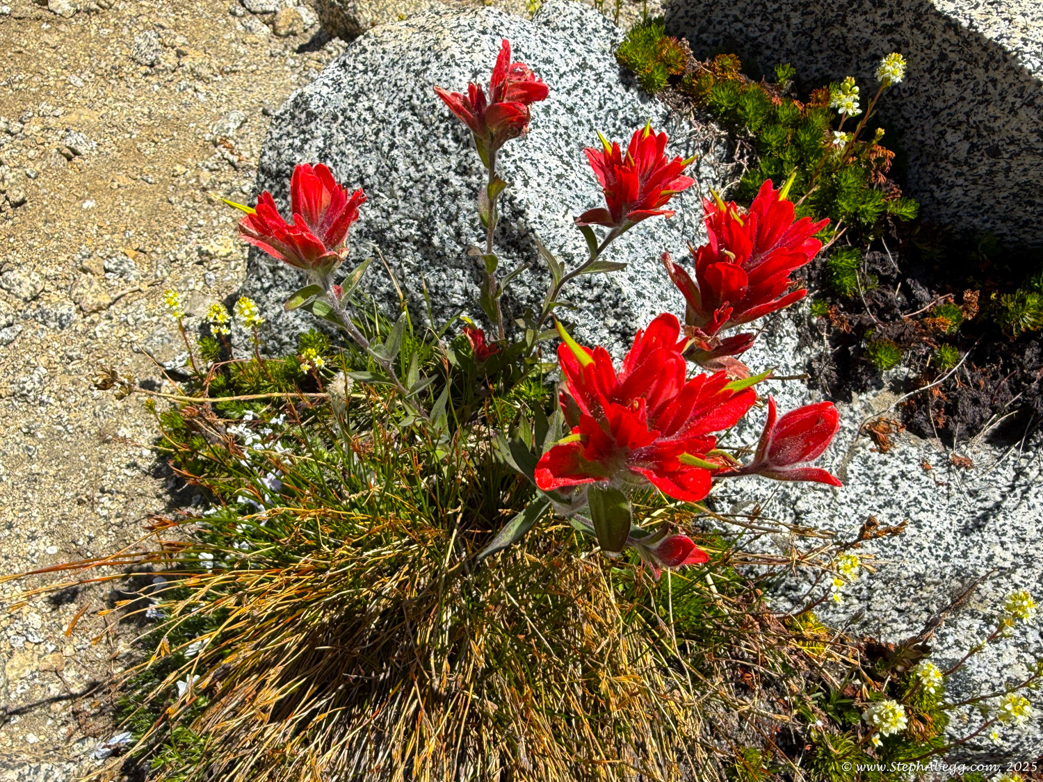
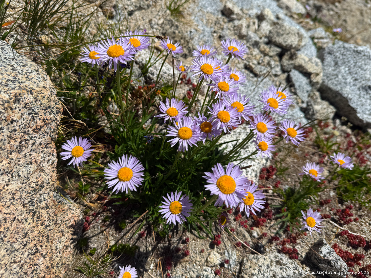
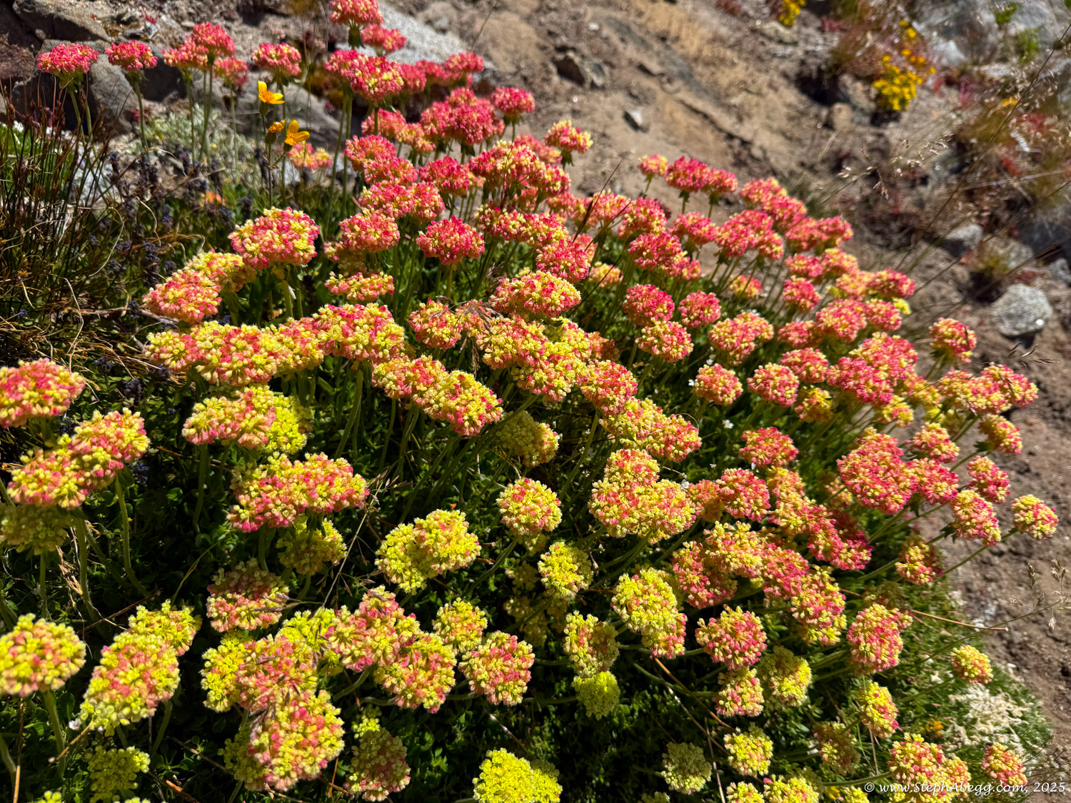
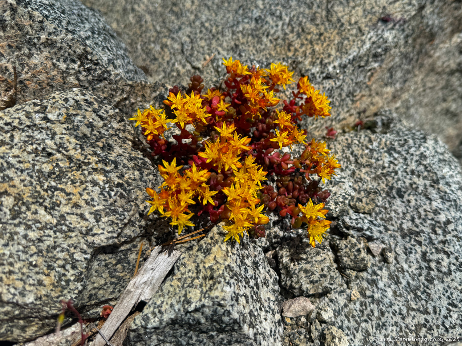
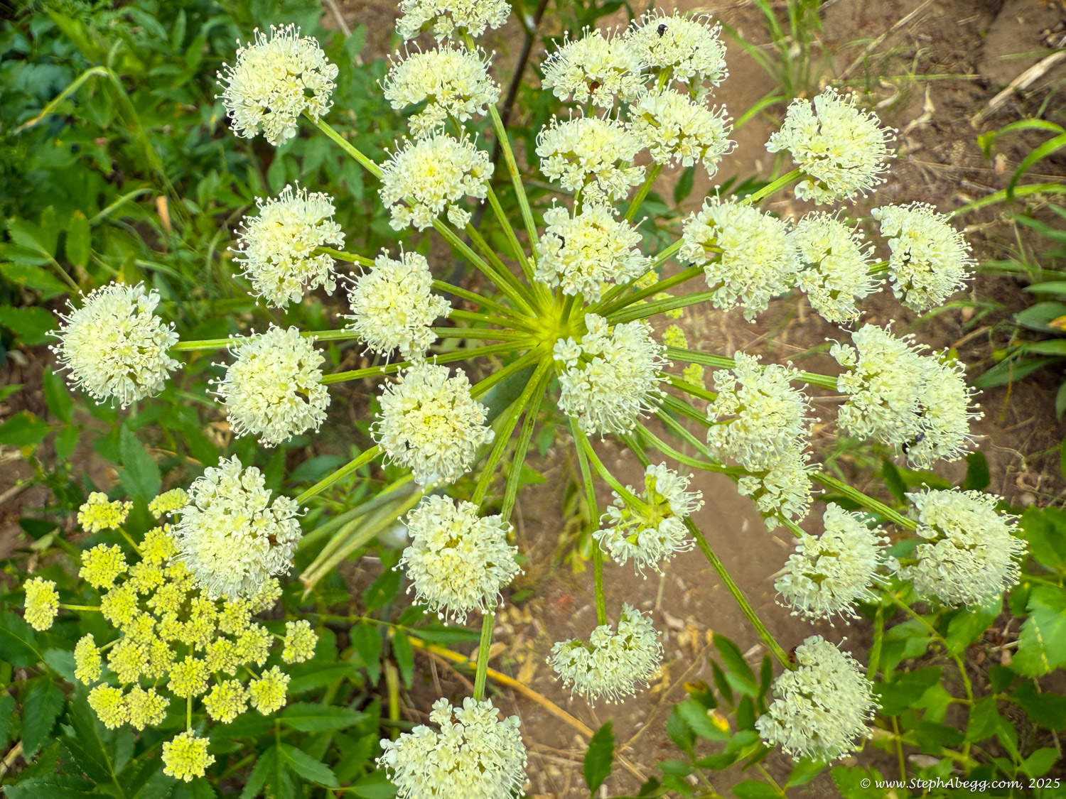
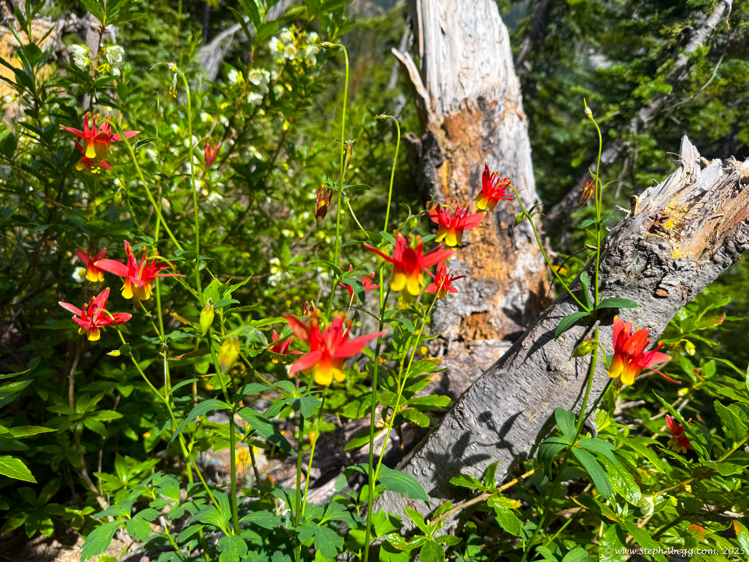
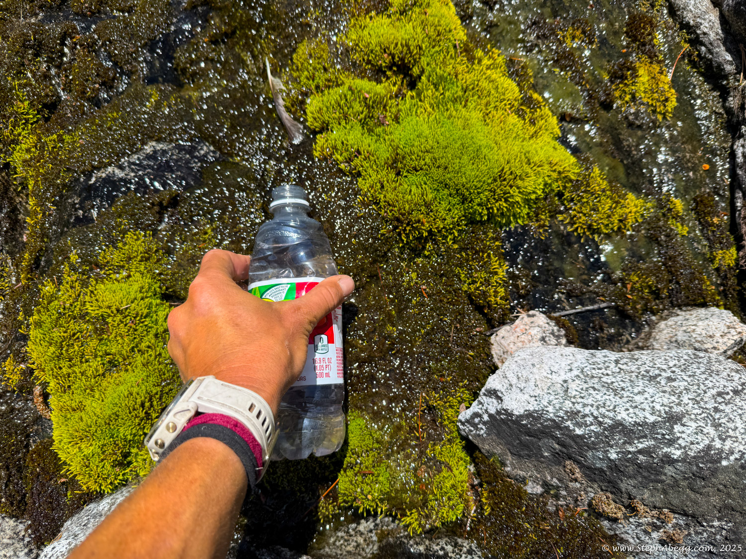
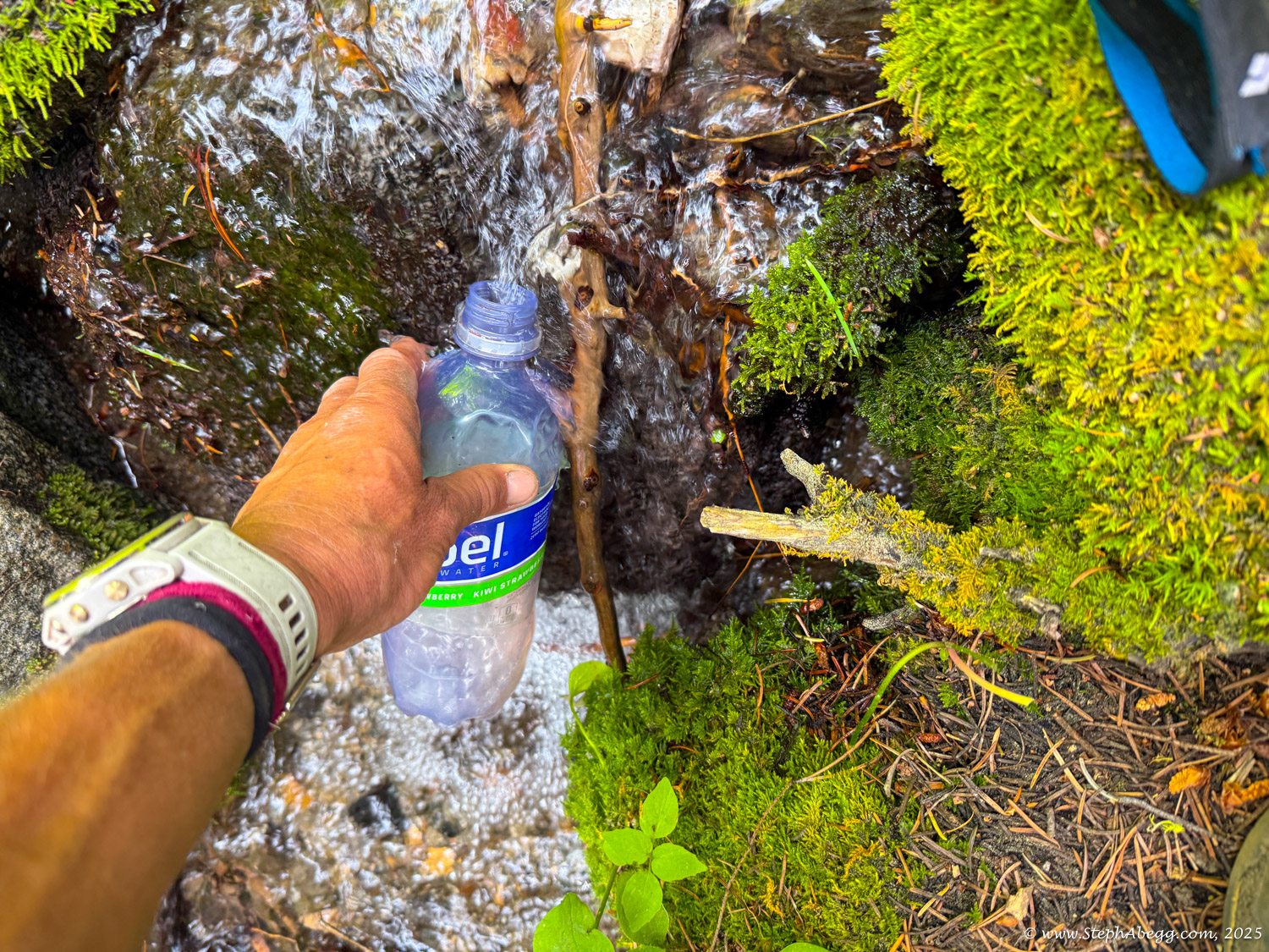
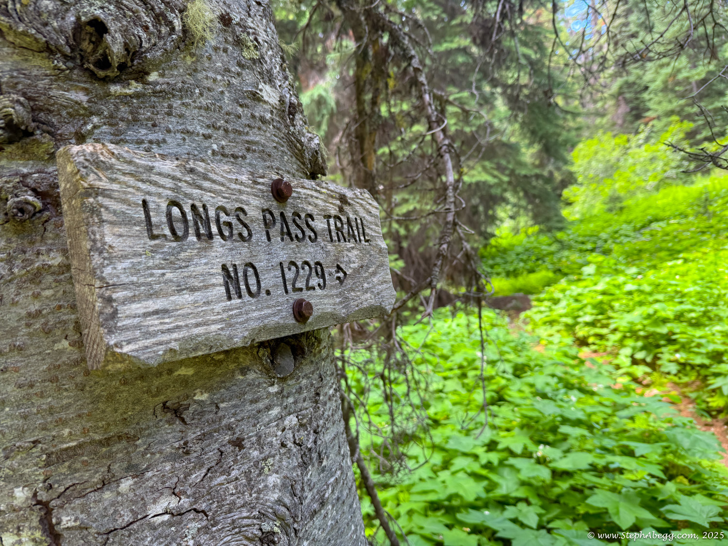
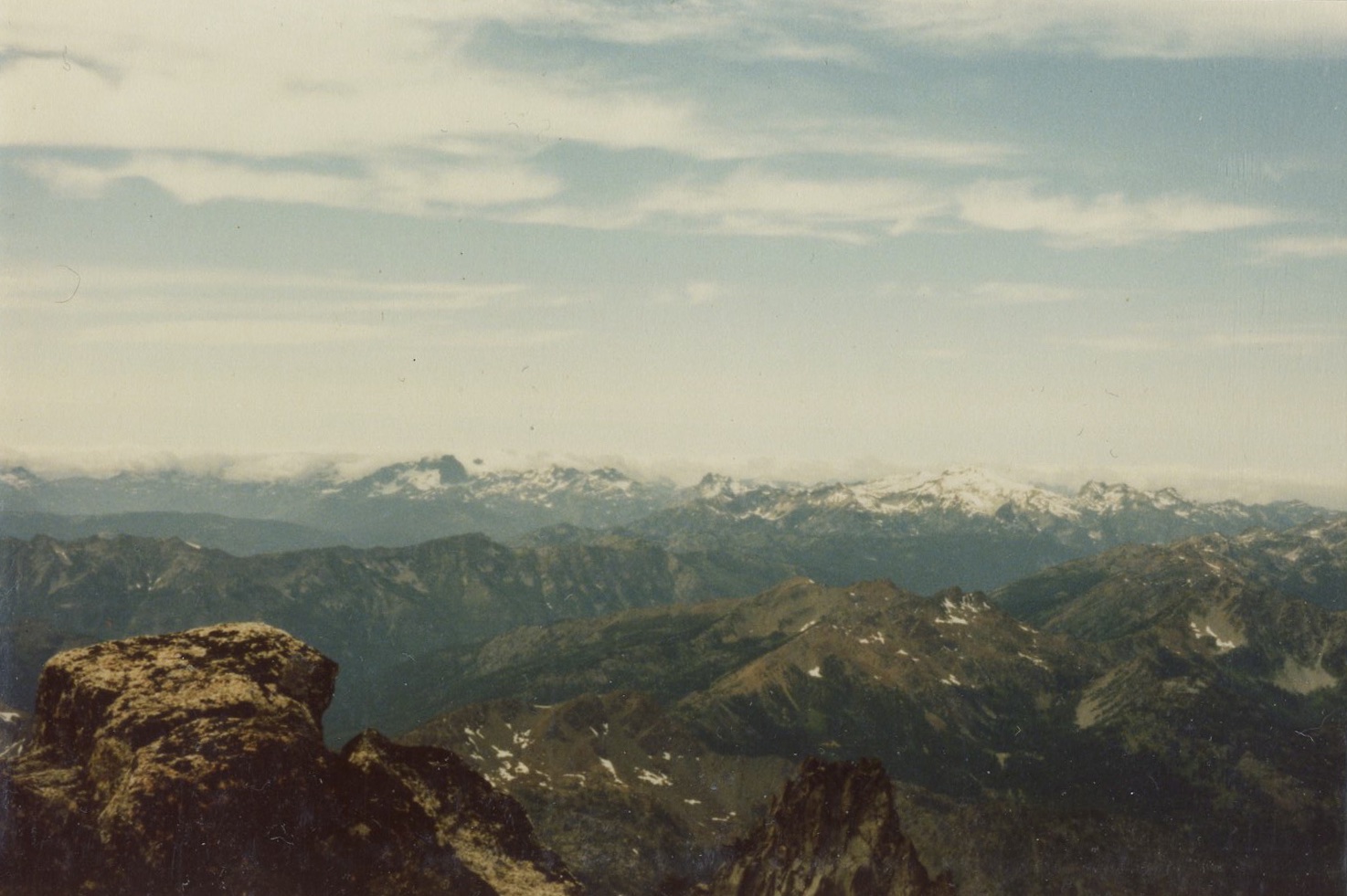
This page contains a route overlay, map, time stats, and photos.