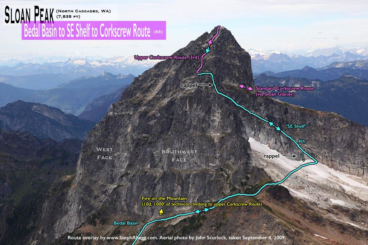
Sloan Peak stands high above the peaks of the Mountain Loop Highway. Because of its distinctive profile, visible from so many locations in the Cascades, I've always thought of it as the "Matterhorn of the Cascades". The most popular route up the mountain is the Corkscrew Route (3rd and some glacier travel), named for its corkscrew-like path around the mountain to the top. I've long had this route on the back-burner, but whenever I've started to make plans to climb it, I've been distracted by a more technical (i.e. more rock climbing) objective. But my interest in Sloan was rekindled when I caught wind of
Fire on the Mountain, a 1500' rock route on the steep southwest face of Sloan put up by Rad Roberts and Blake Herrington in 2009. This route involves 1000' of technical rock climbing (up to 5.10d) and 500' of scrambling to the summit.
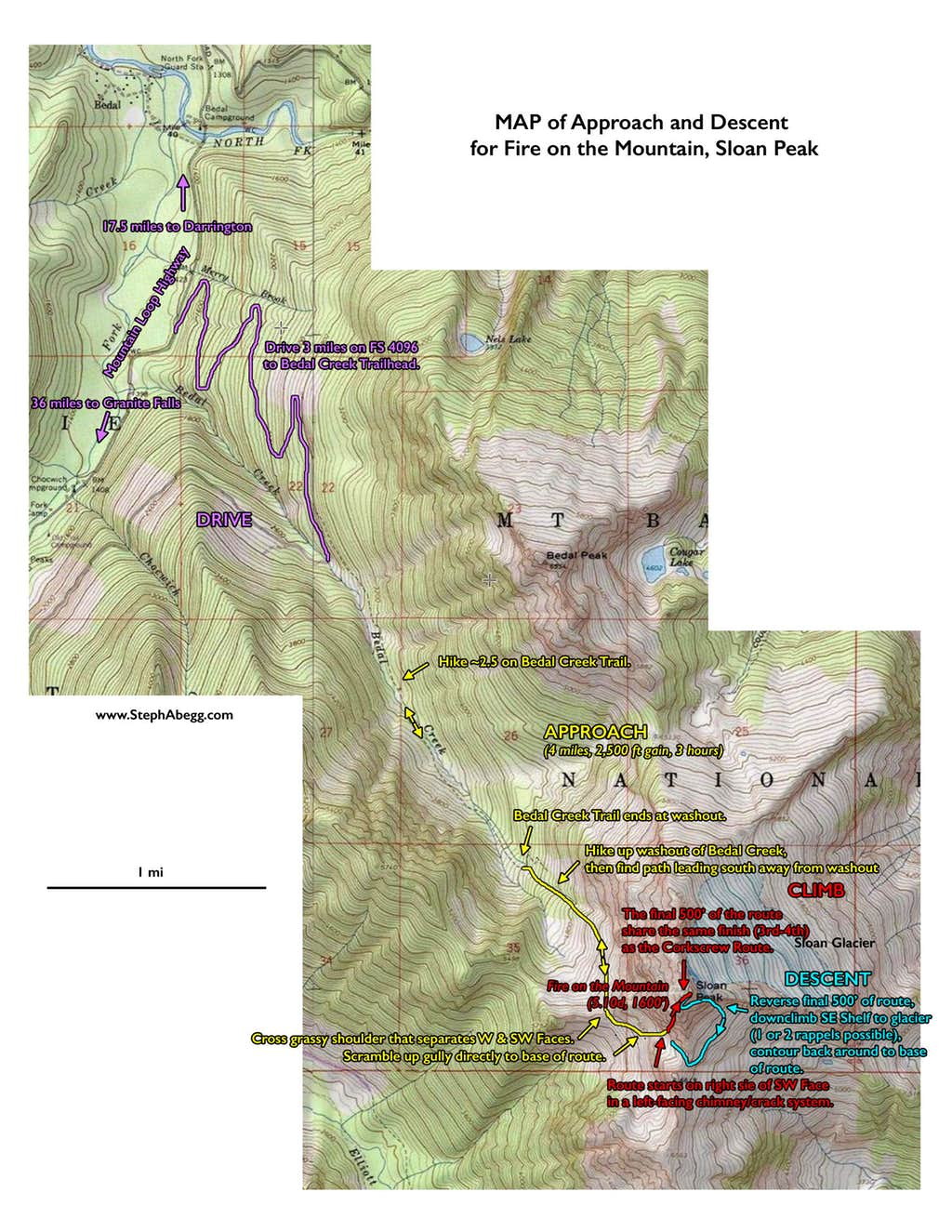
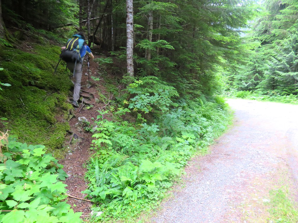
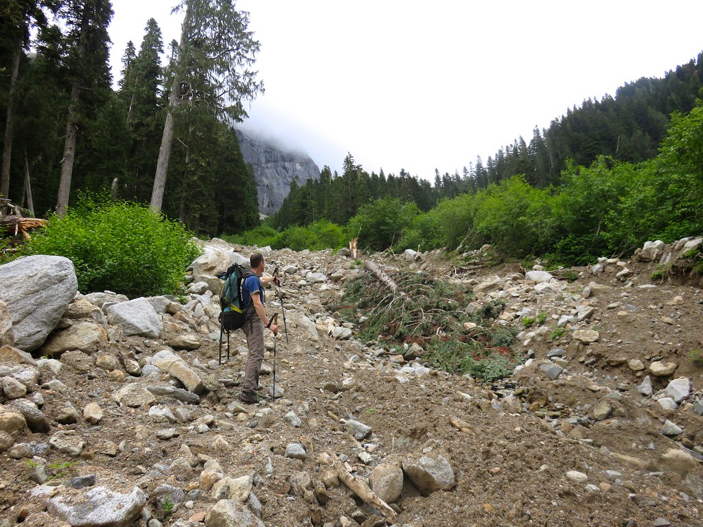
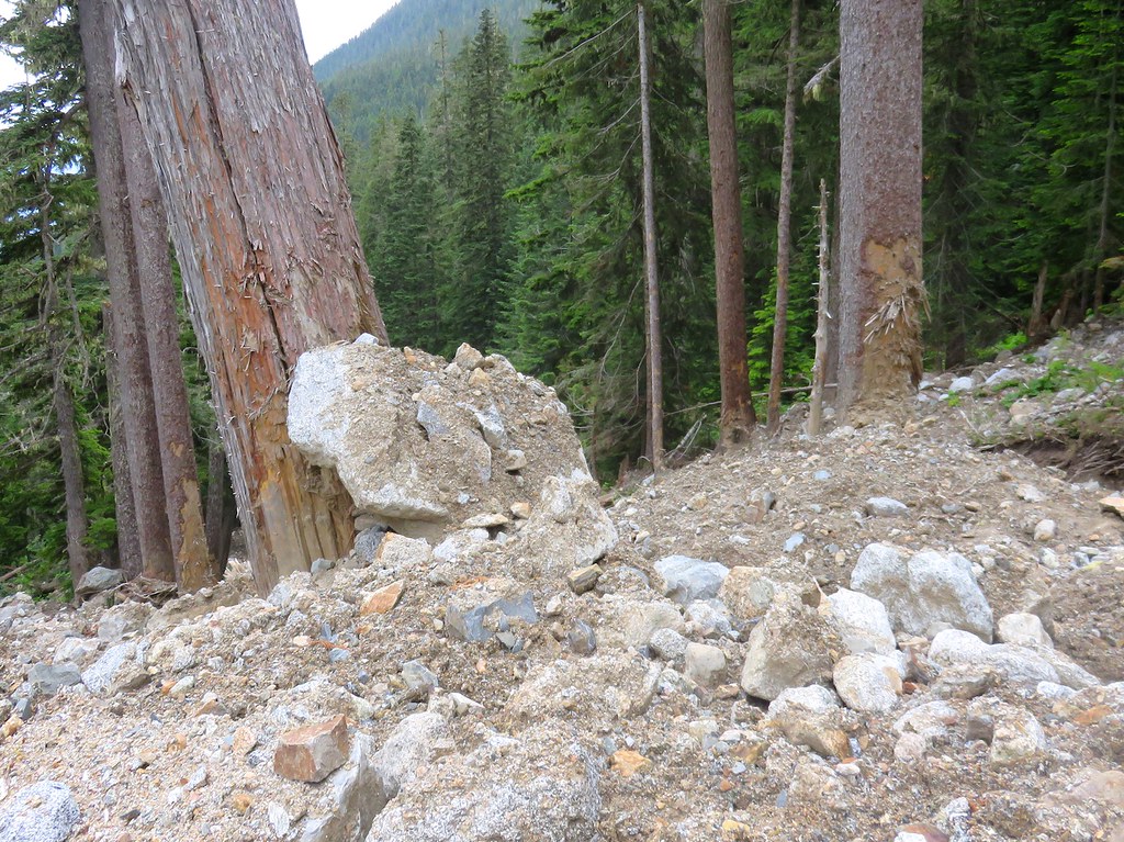
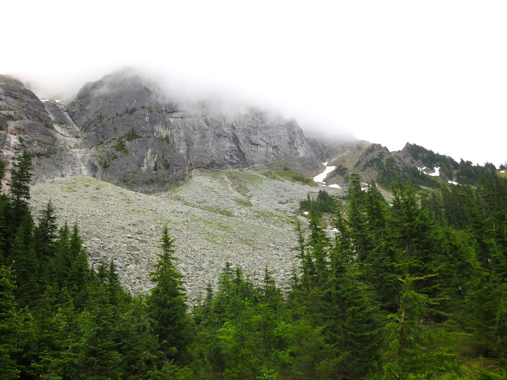
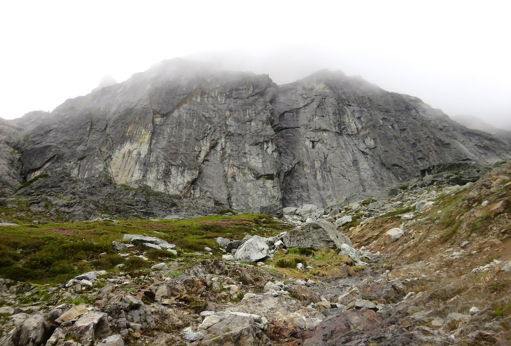
So in July 2016, I convinced Rad to climb his route again. The plan was to do the route in a long day from the car at Bedal Creek Trailhead, just as he and Blake had done seven years previous. The forecast called for partly sunny. So we were a bit surprised by the morning cloud cover when we left the trailhead at 6:30am, but we figured it would just burn off as the morning progressed. But rather than burning off, by the time we arrived at the base of the southwest face three hours later, the clouds had dropped lower and settled in around the mountain.
Fire on the Mountain had become Mist on the Mountain. But we racked up anyway, flaked the rope, looked at route beta, organized the follower pack, got a snack, drank some water, put on climbing shoes, fiddled with the rack some more, reflaked the rope, re-read the route beta, repacked the follower pack, got another snack, drank some more water, adjusted the climbing shoes,.... As our delay tactics began to loop around for the third time and as the humid clouds turned to wet mist we finally started up the first pitch....but the crack was pretty wet....long story short, we decided the best decision was to come back and climb the route on a sunny day. Climbing 5.10 on moist rock in mist and light rain was not our idea of safe fun.
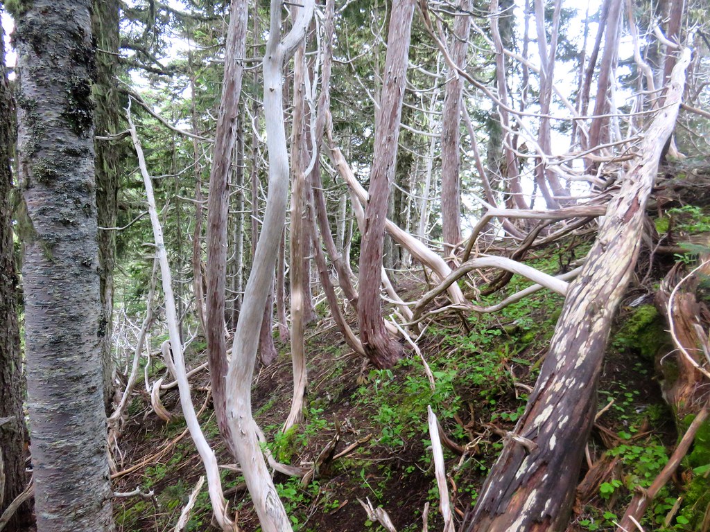
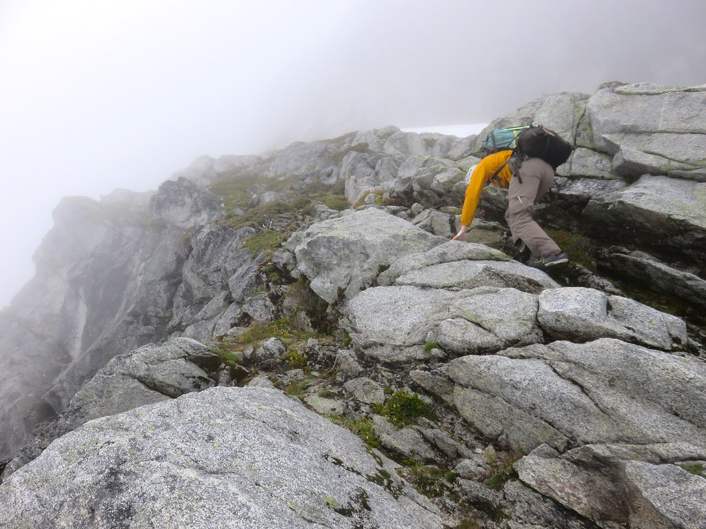
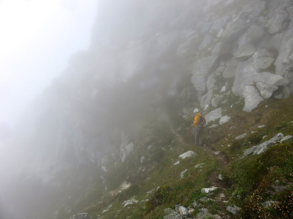
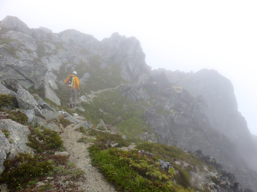
Bummer. But we had made the effort to get up there, so we decided that we would at least try to get to the summit via an easier route. The route we had planned to use as a means of descent was an obvious choice. This route involves traversing around the south side of the mountain to a ramp system on the southeast side ("SE Shelf"), climbing this ramp (4th) to where it joins the upper
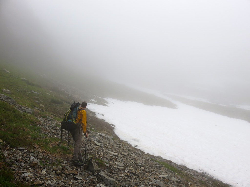
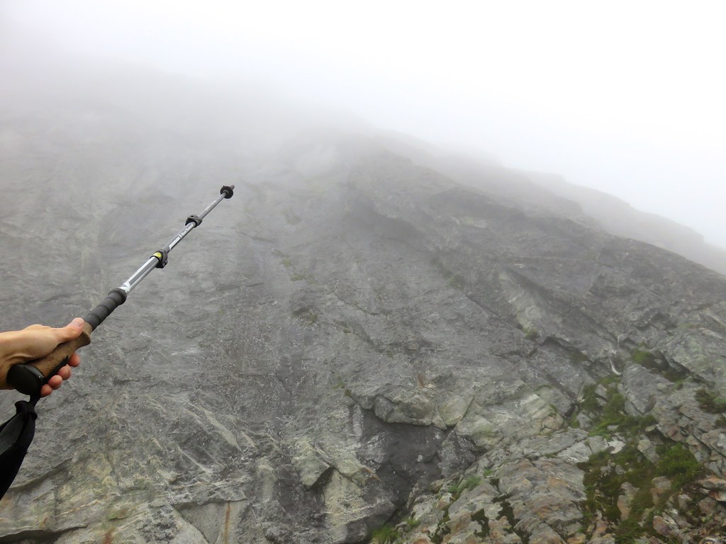
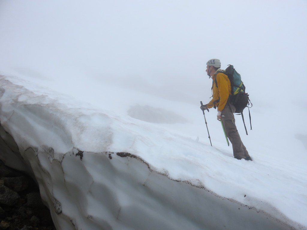
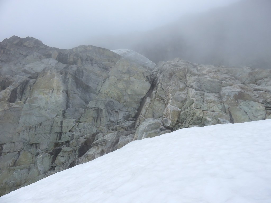
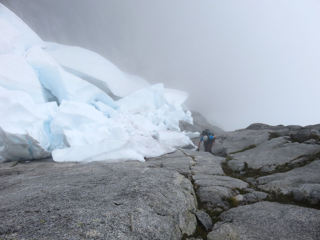
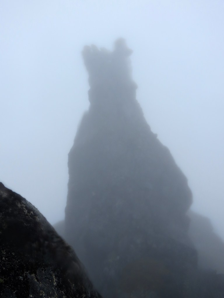
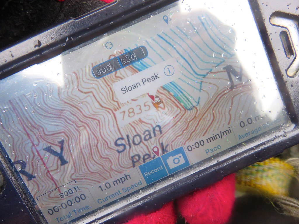
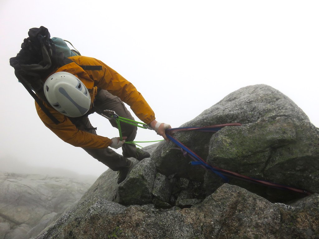
Corkscrew Route, and from there scrambling to the summit. There were some challenges to the day, such as some wet gritty slabs and slippery heather slopes, a couple of sections of steeper rock (we roped up for one of them), and routefinding with poor visibility. But by mid-afternoon we stood on the summit. It was misting lightly and the "partly sunny" day had obviously been had elsewhere. The presence of a summit register and our GPS confirmed we were on top though. To get back to the car, we simply reversed our route.
The following page contains photos from the adventure
All in all, despite the fact that it wasn't the glorious day we had envisioned climbing wild fins and dikes up the steep SW Face of Sloan, it was good just to be out in the Cascades. But I'll be back to climb the SW Face. On a sunny day. Update: A month later, I returned with my friend DR to climb
Fire on the Mountain. Click here for the
trip report for Fire on the Mountain.